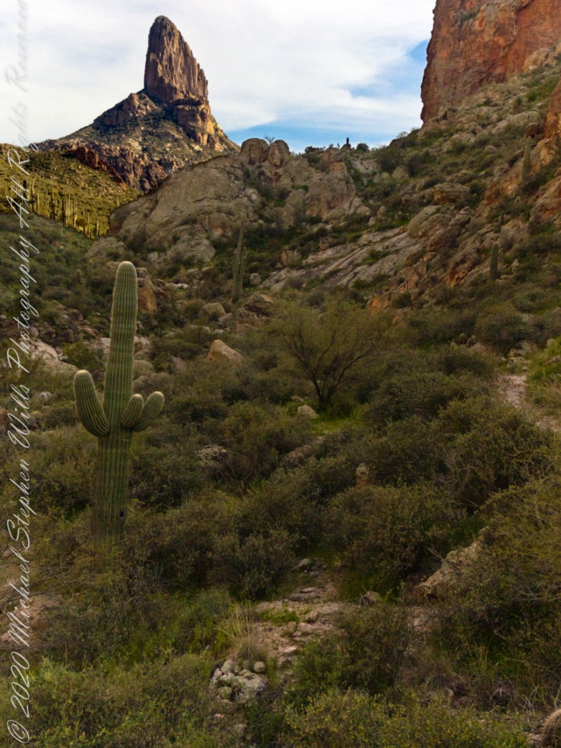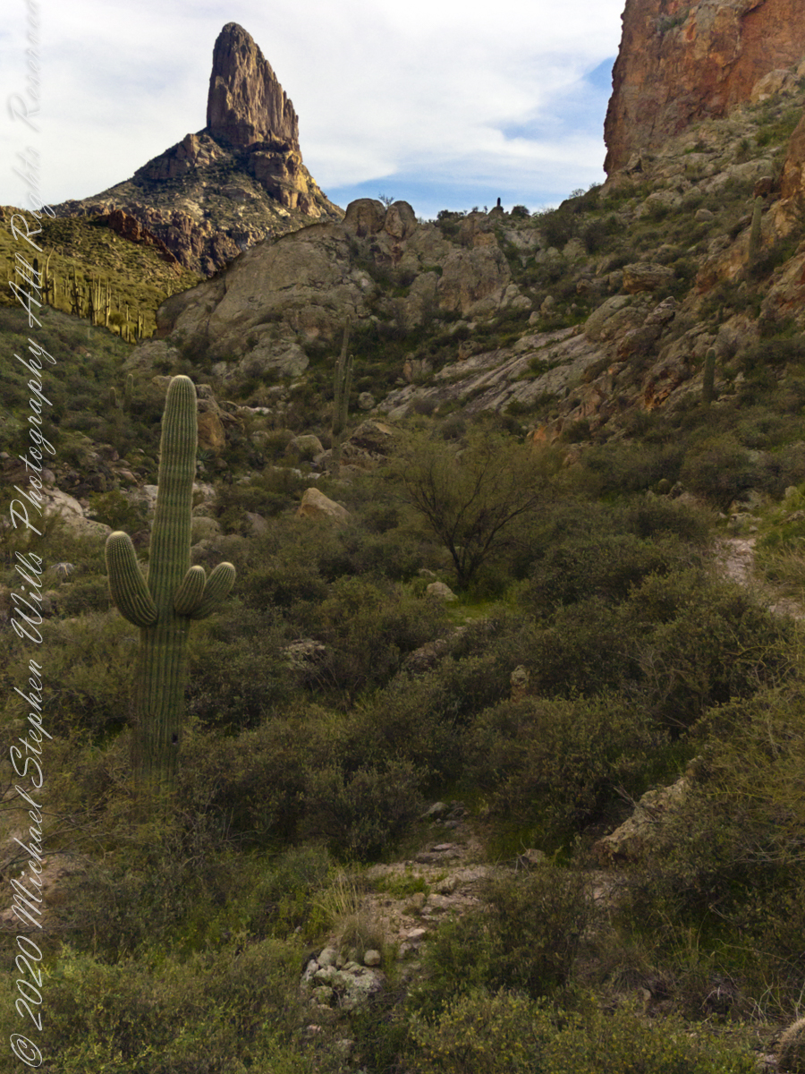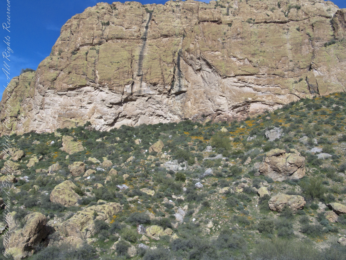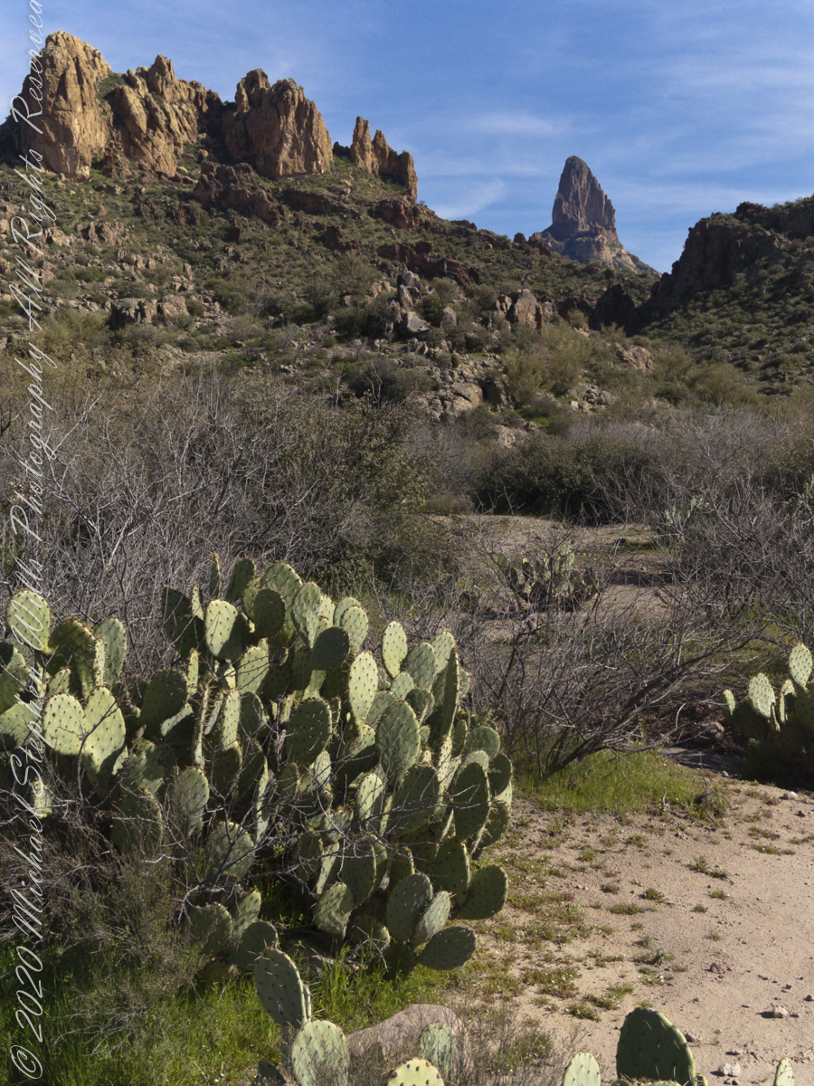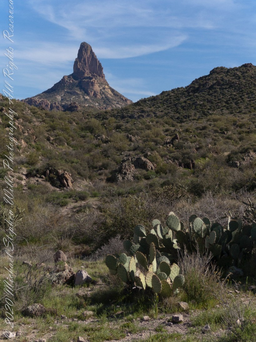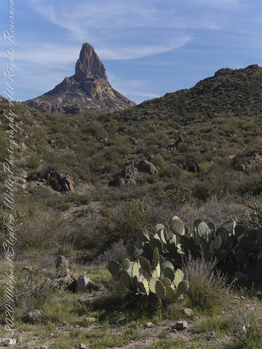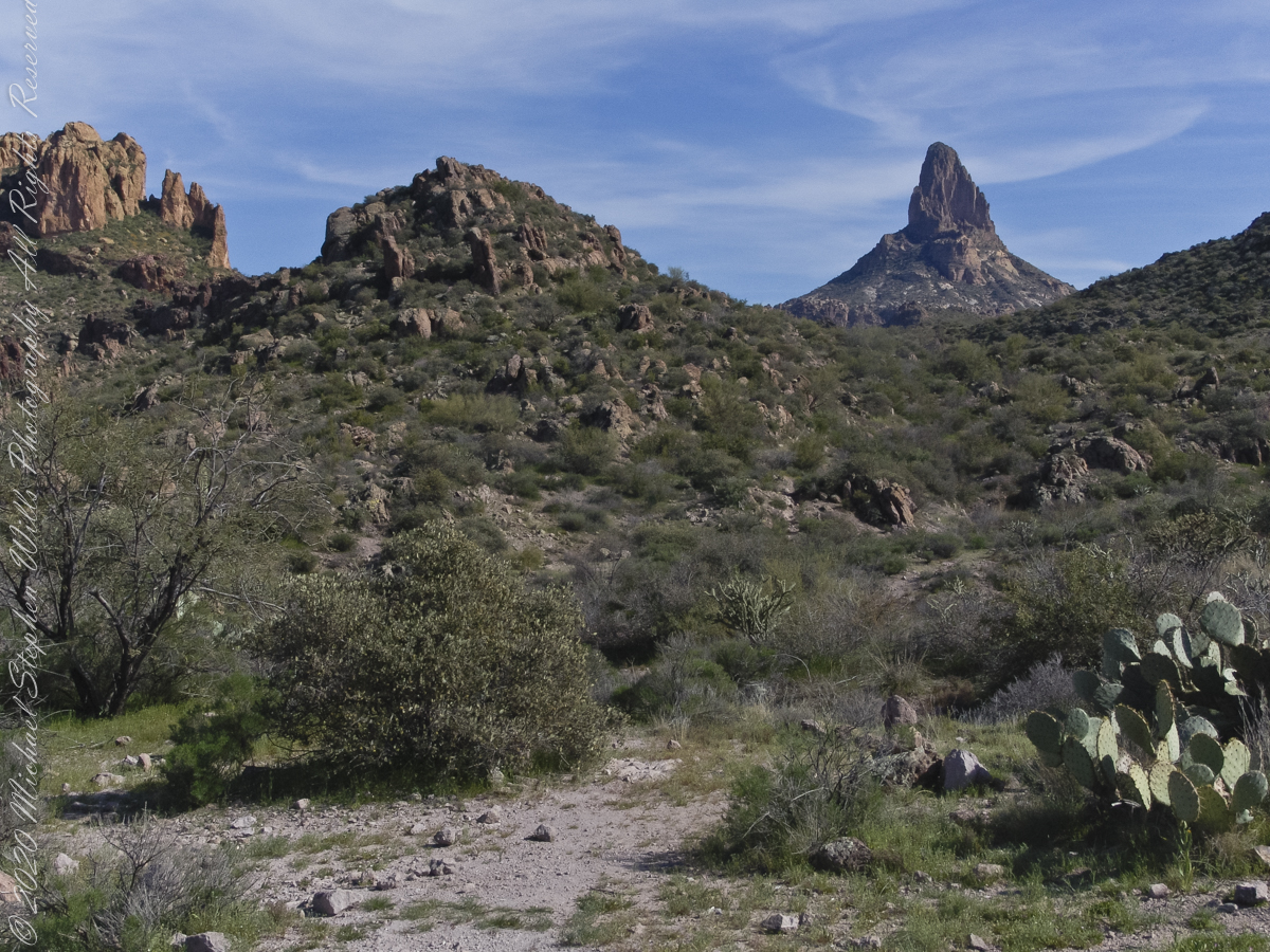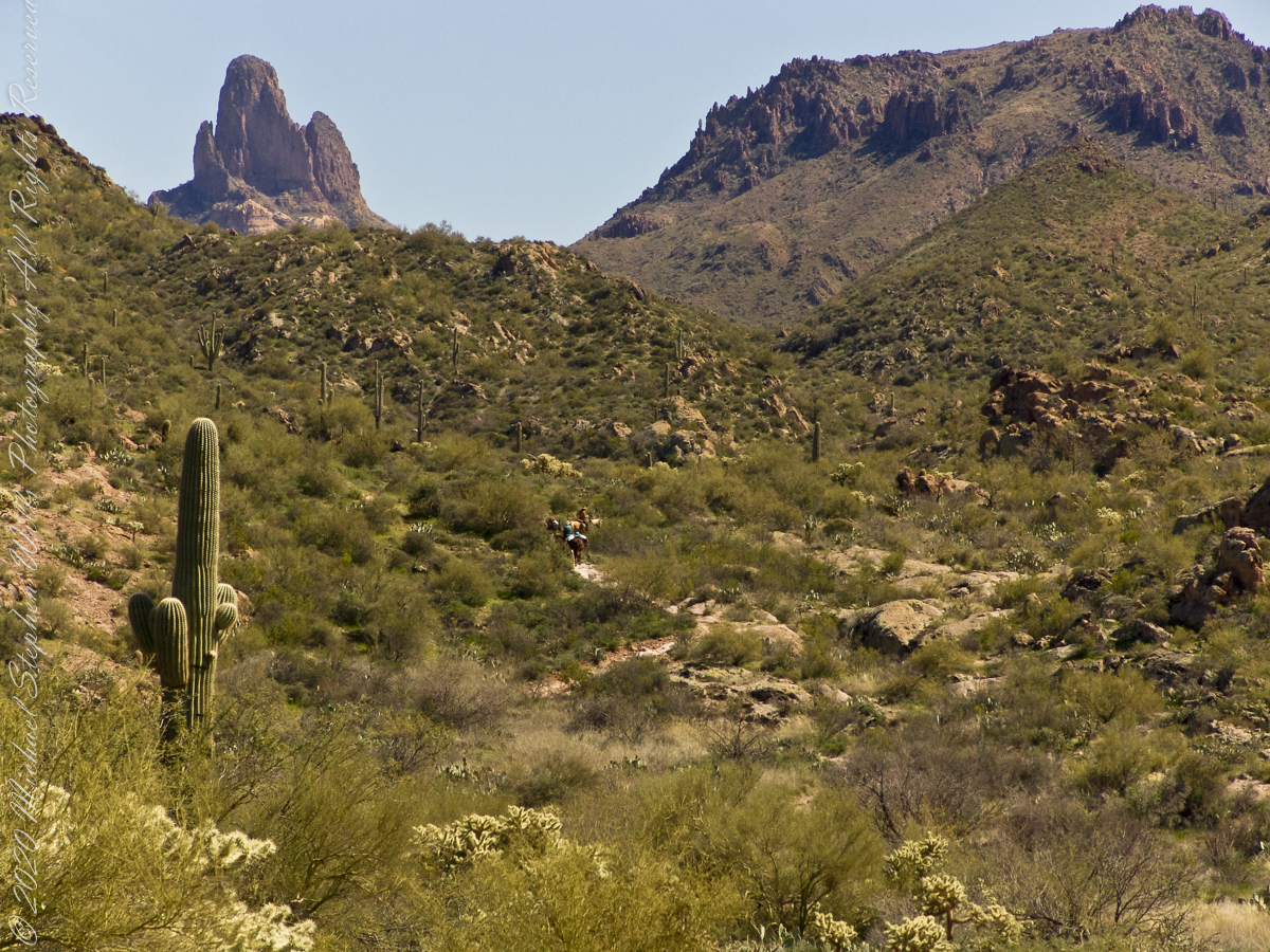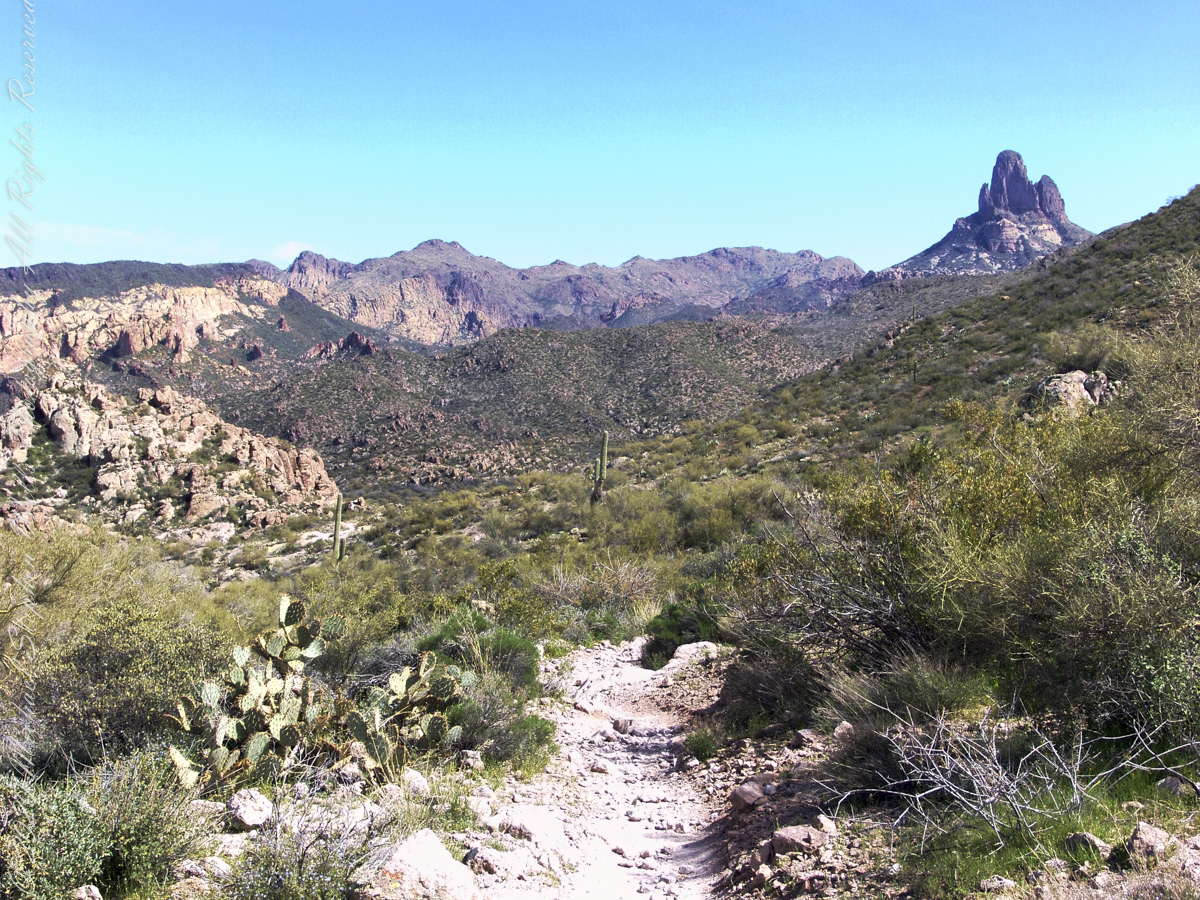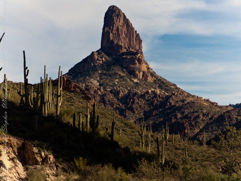
It is ironical the word “legend,” from the Latin verb “to read,” is the word used to describe the ahistorical stories, rumors really, of the Superstition Wilderness anchored, concurrently undermined, with the hard facts of geology. “Named for Paulino Weaver, a famed mountain man, scout, trapper and miner, Weavers Needle is a volcanic monolith that rises almost 1,300 feet from its base to an elevation of 4,553 feet. It’s the most recognizable landmark in the wilderness, and it’s also considered a marker for the legendary Peralta Mine.” — Arizona Highways
Click Me for my Online Gallery
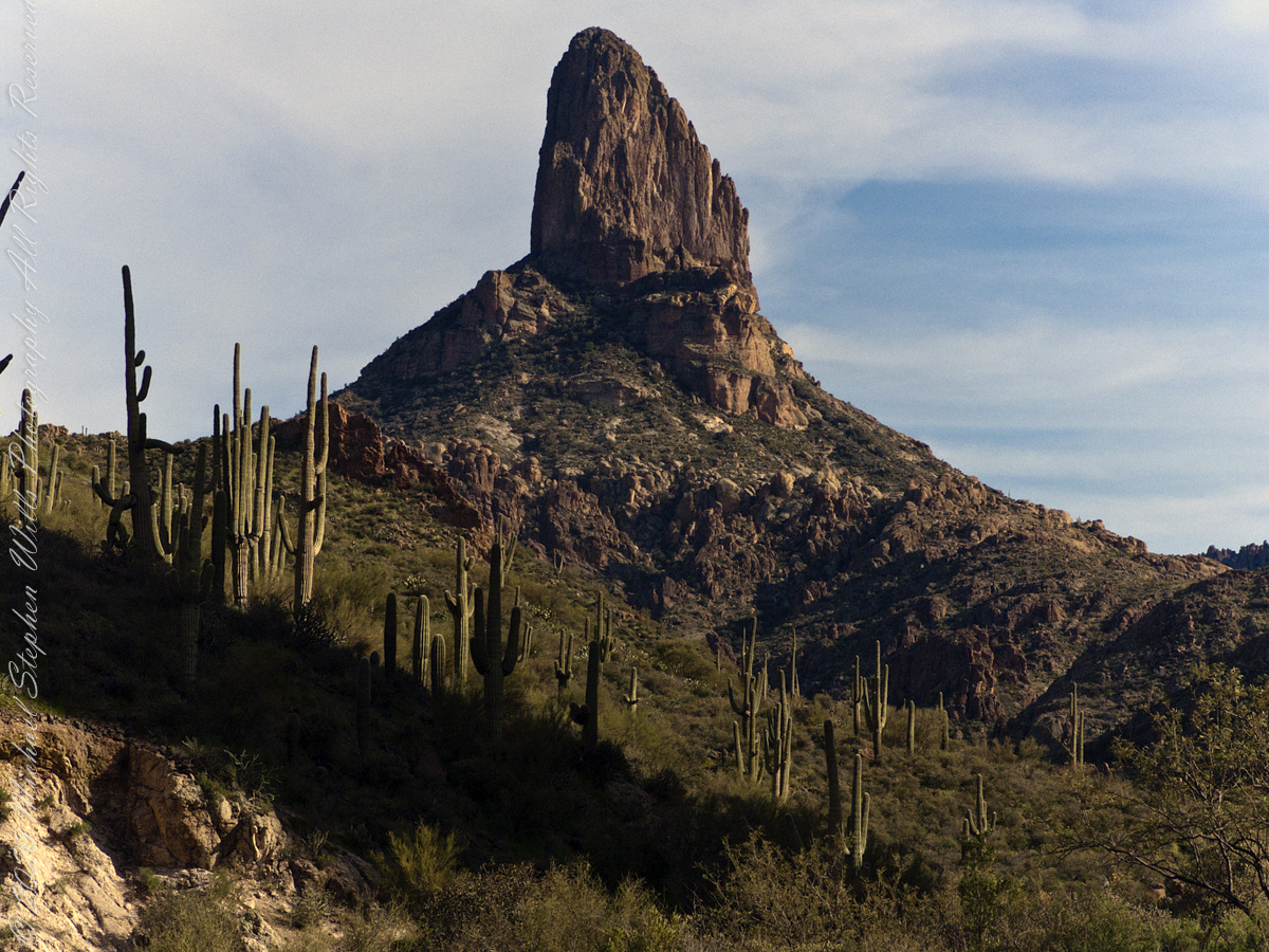
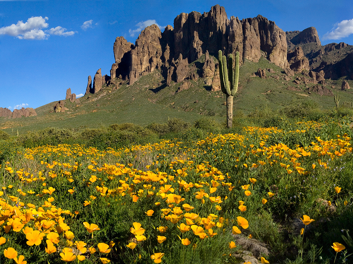
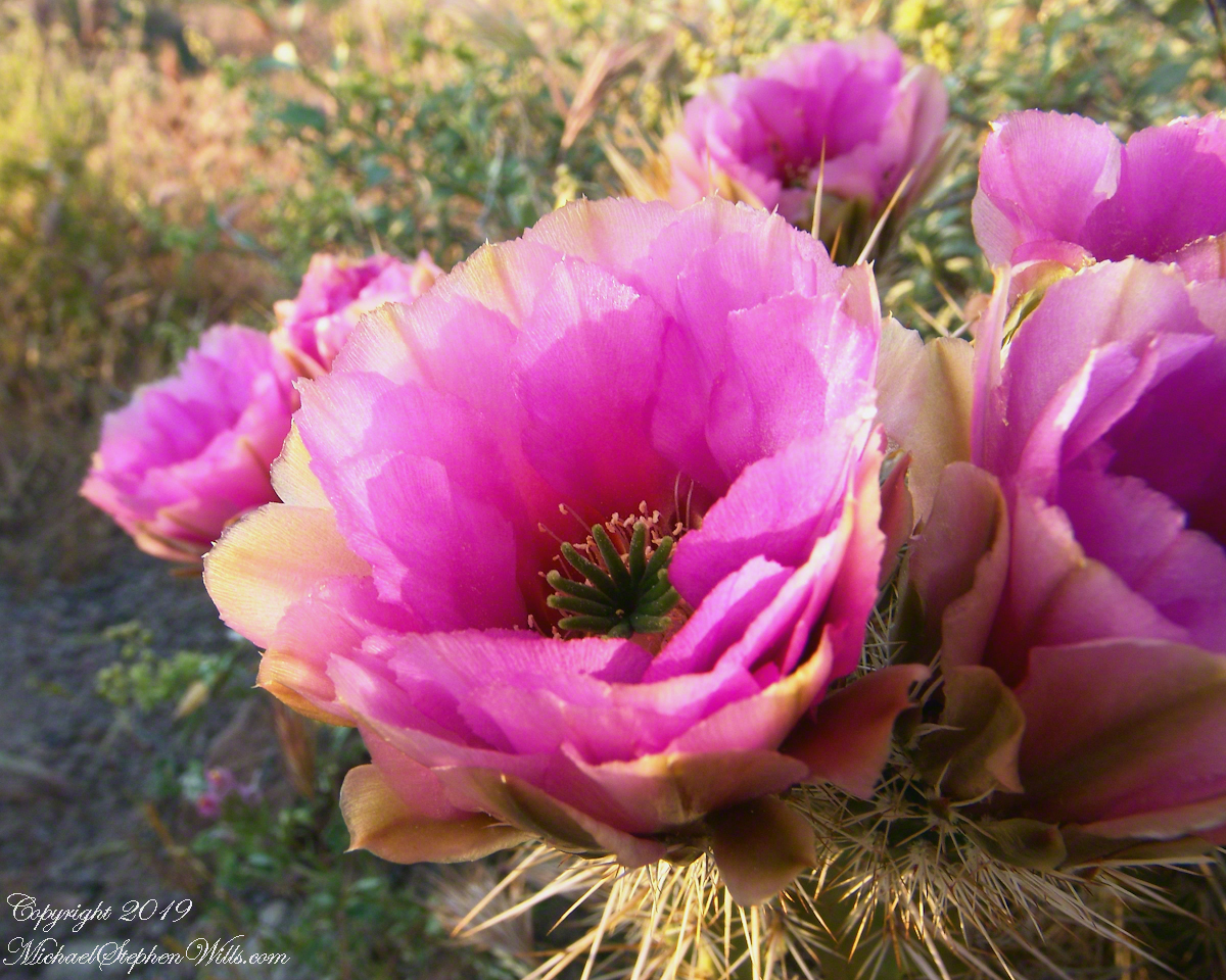
“As the story goes, Don Miguel de Peralta and his family, who had come to the Superstition Mountains from Mexico, discovered gold, lots of gold, in the shadow of Weavers Needle. However, before cashing in, according to the story, they were killed by Apaches, who allegedly sealed off the mine. A few decades later, Jacob Waltz, better known as the “Lost Dutchman,” claimed to have found the old Peralta Mine, but he died before proving his claim. Since then, thousands of treasure hunters have gone looking, including Arthur Weber and the Dons of Phoenix, but no one has ever found the gold. And it’s unlikely anyone ever will — the volcanic rock out there isn’t conducive to producing precious metals. They’ll keep looking, though. Meantime, the real treasure is the trail. Especially in the springtime, when the ground is covered with gold. ” –Arizona Highways
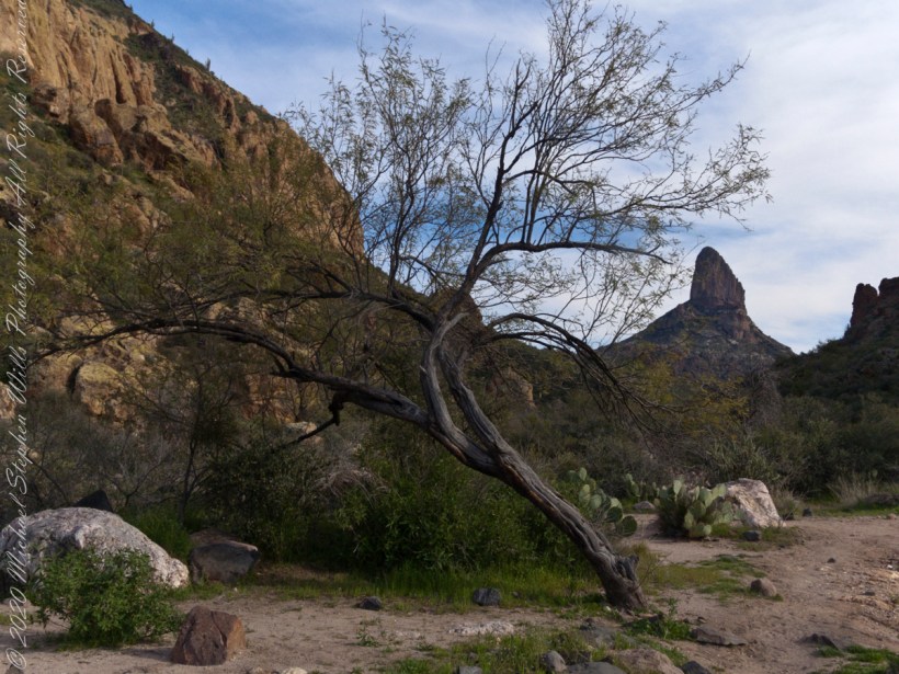
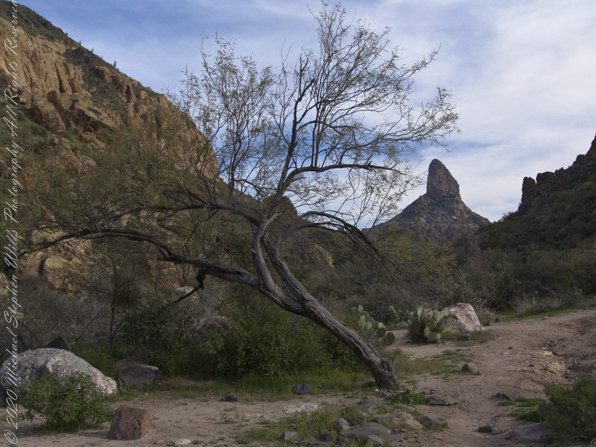
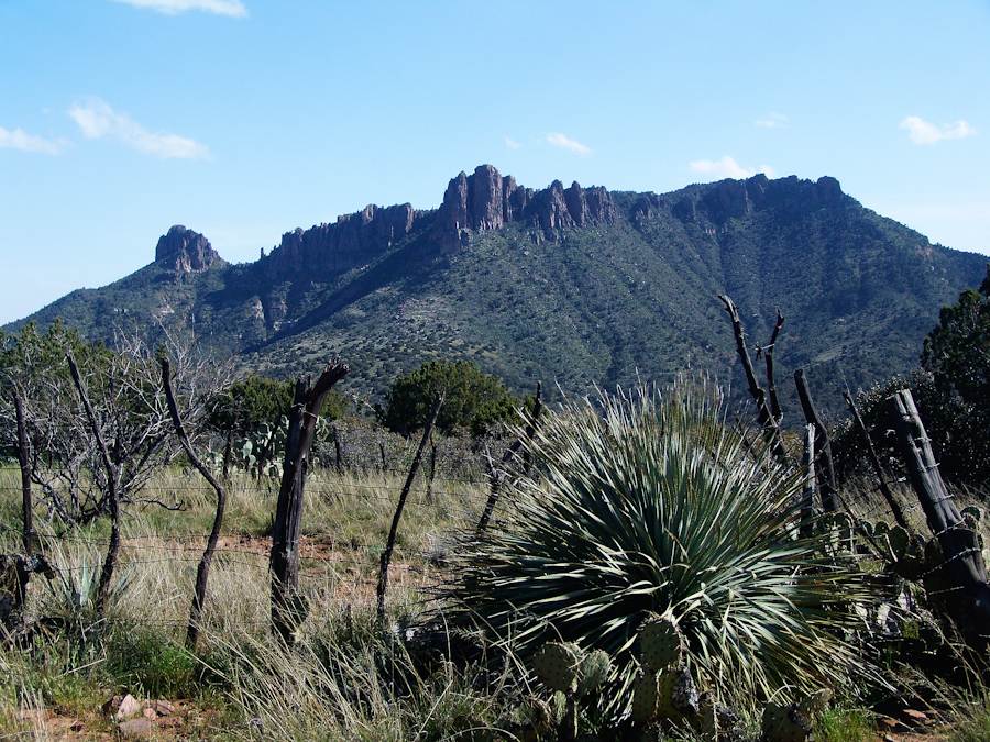
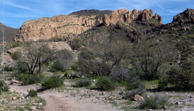
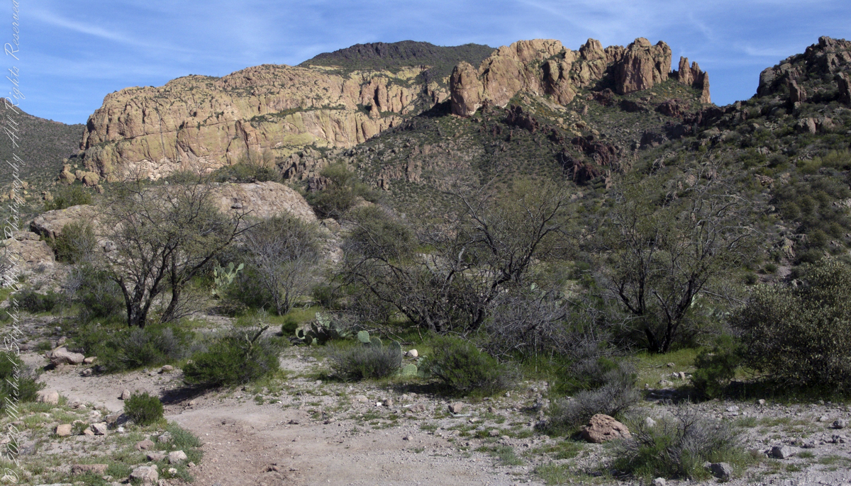
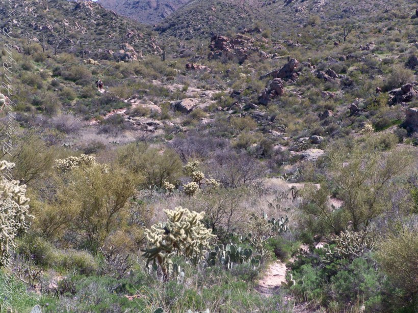
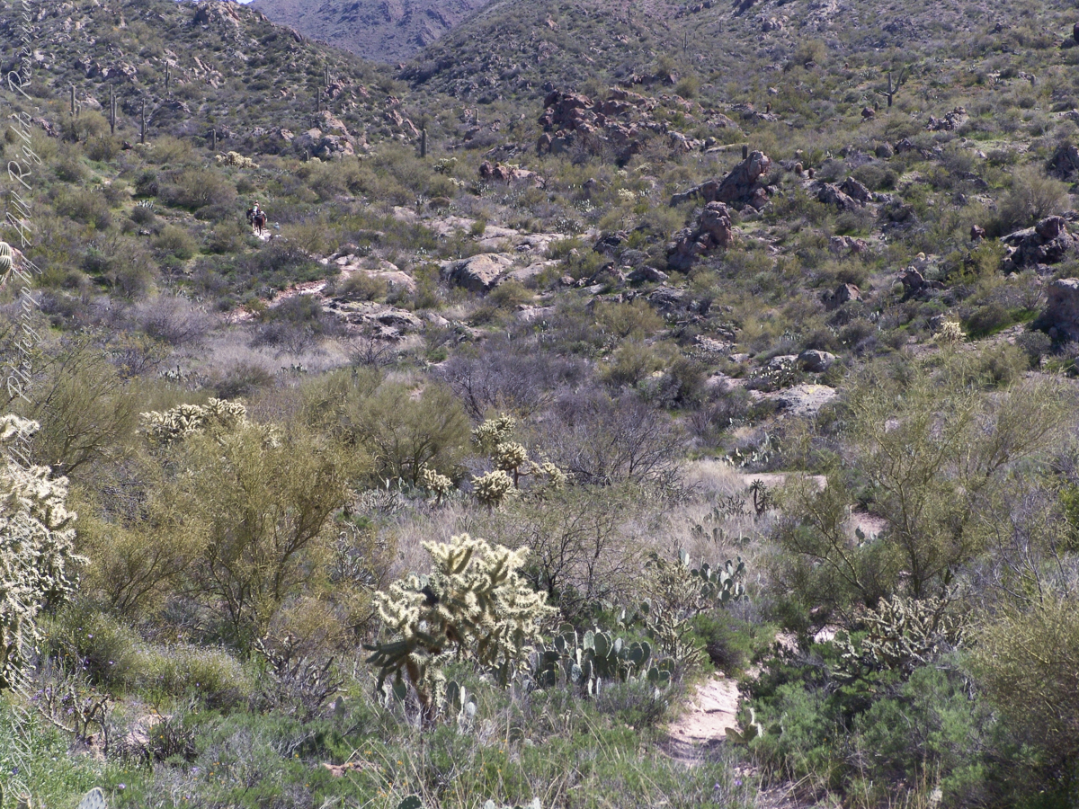
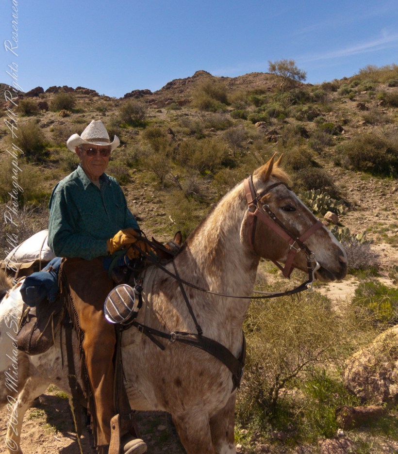
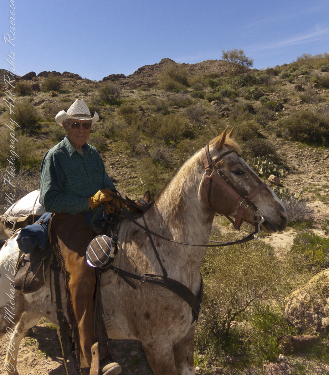
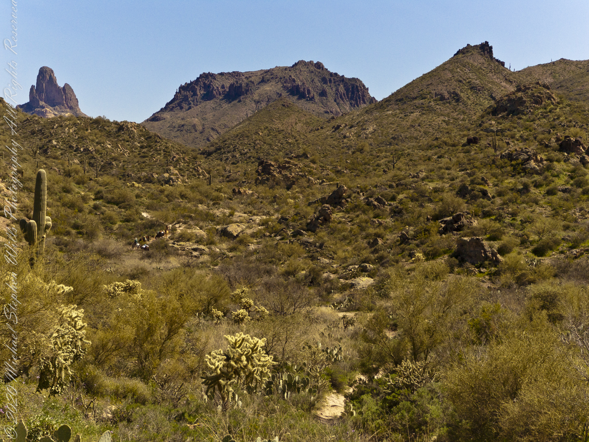
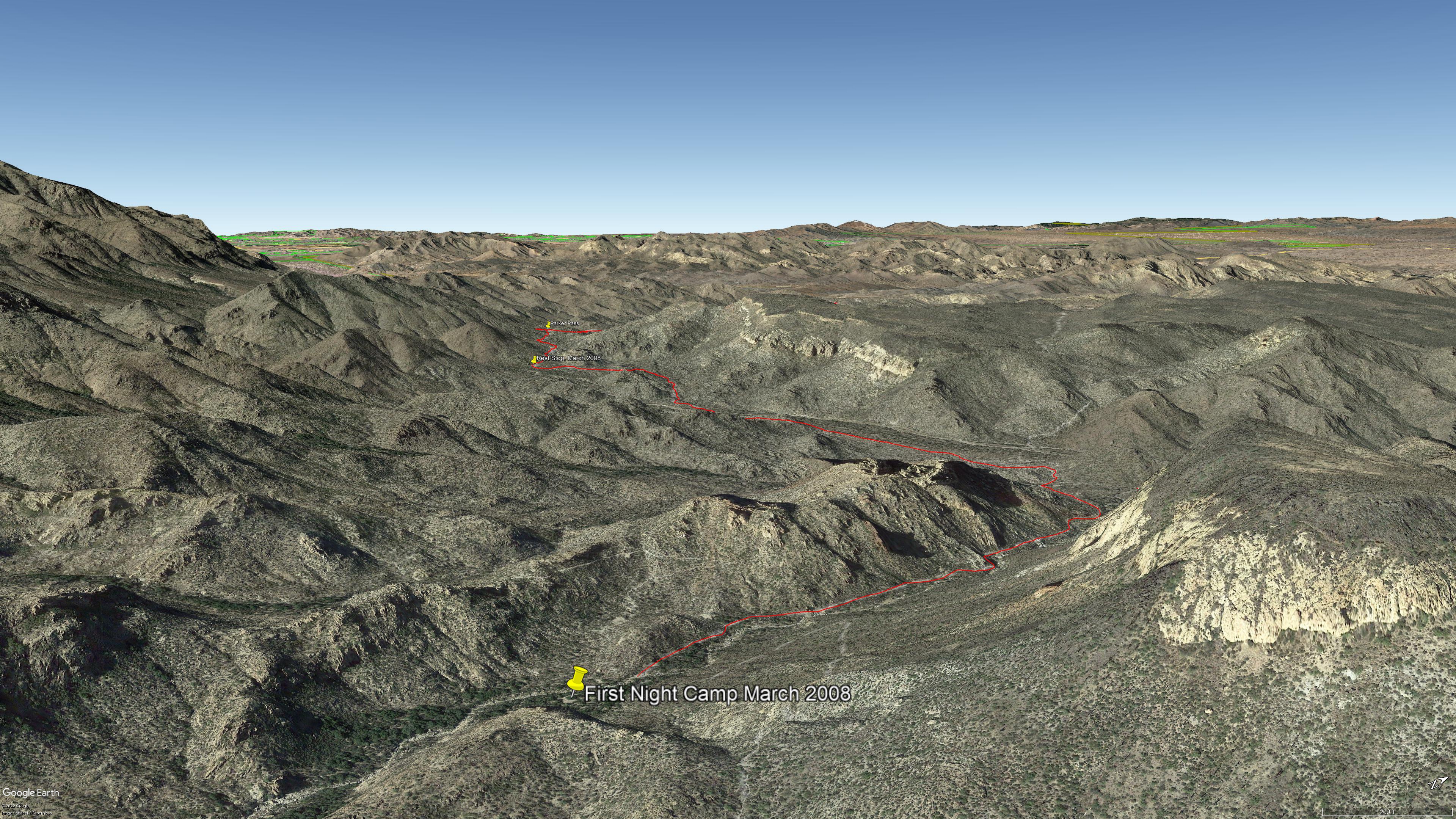
Here is a view of part of the day’s trail. We started at 1911 feet elevation, Apache Junction, topping 2693, Parker Pass, with 2512 our resting spot with many ups and downs in between: a combined descent of 1760. Our rest was well earned. Palamino Mountain is on the left, Black Top Mesa the right. Look carefully to see the Peralta Trail surmounting Palamino Mountain ridge, descending in a zigzag to Boulder Canyon where it terminates on Dutchman Trail.
Click me for more information about the Peralta Trail from Arizona Highways.
Copyright 2022 Michael Stephen Wills All Rights Reserved