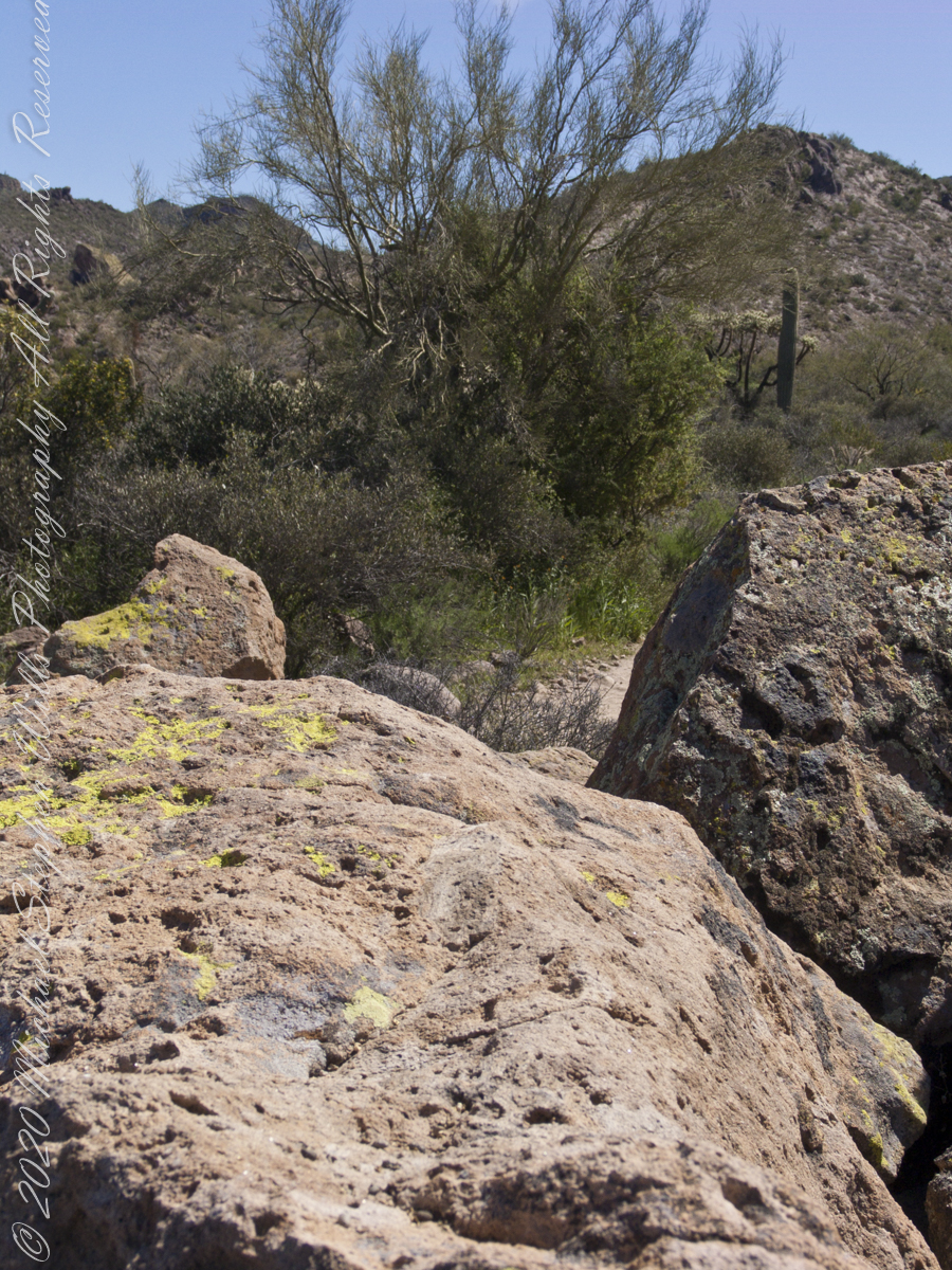
Dutchman’s trail, starting from First Water Trailhead, meanders through Sonoran Desert hills and washes, gradually climbing about 400 feet before descending into Boulder canyon.
Click Me for my Online Gallery
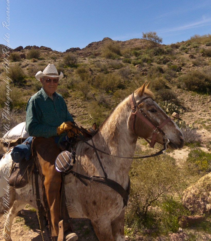
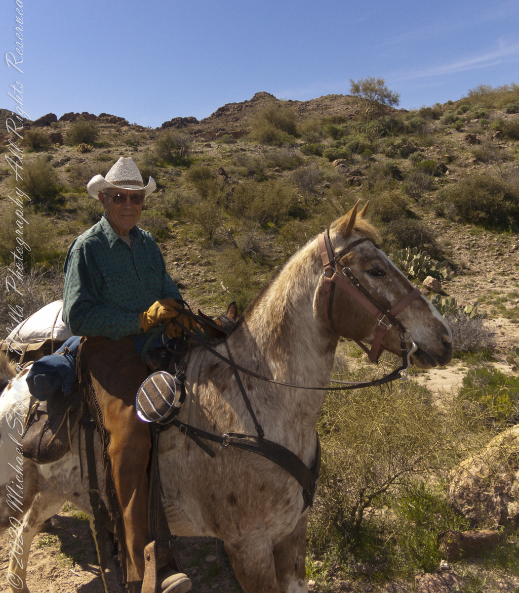
We were a party of three with five horses: two mounts and three pack. I was on foot, unencumbered by the usual backpack loaded with 80+ pounds of equipment and supplies for an extended wilderness expedition. I used the opportunity to wear a Sony F828 camera, used for the handheld photographs of this series.
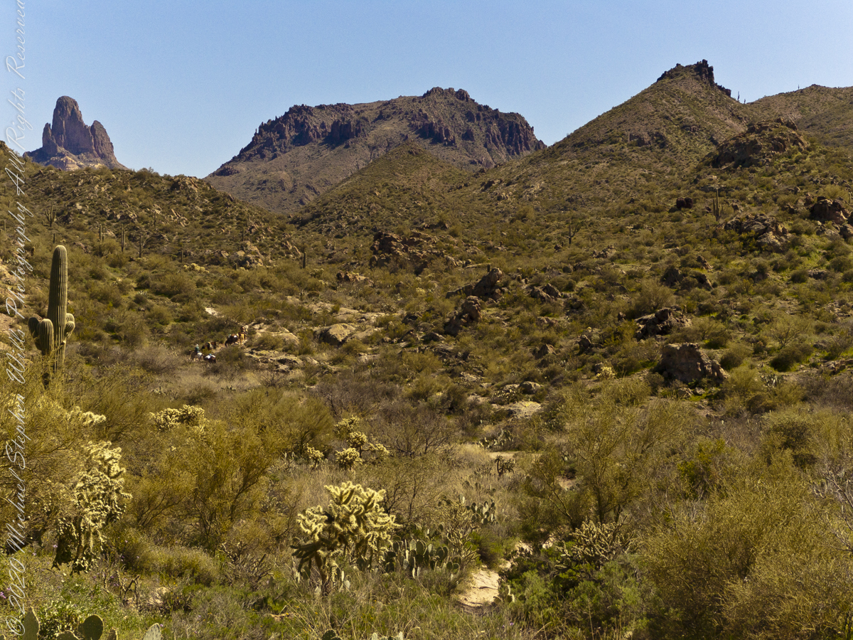
The following photograph is our expedition party on First Water Trail. That is Parker Pass, the opening between the two hills in the middle distance. Look carefully to pick out two horsemen and three horses packing equipment and supplied. They travelled much faster than my 3 – 4 miles per hour on foot.
Foregrounds are the “jumping” Cholla, cactus with sharp spines that seem to reach out and grab the unwary. During out trek from Apache Junction to First Water trail head we negotiated forests of this nasty plants.
Click me for another Superstition Wilderness Episode
Copyright 2022 Michael Stephen Wills All Rights Reserved