Inner Ring, entrance

a storm threatens

In a previous post, “Inner Ring, at last” we passed over the entrance to the inner enclosure.

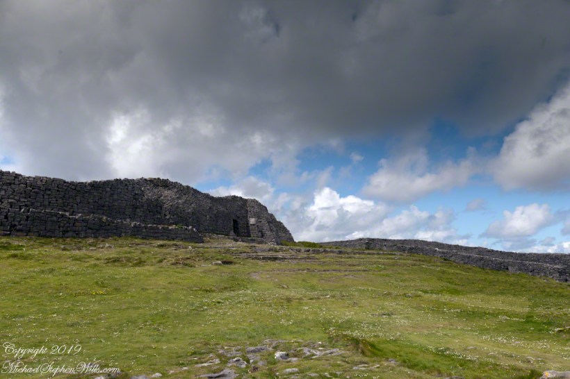
A long path through fields, karst landscapes and outer walls leads to this entrance to the inner ring of Dun Aonghasa (Dun Aengus) of Inishmore, Aran Islands, County Galway, Ireland. The image composition is as a dramatic landscape with the surrounding walls and the cloudscape of an approaching storm.

Click me for the first post of this series, “Horse Trap on Inishmore.”

Reference: wikipedia Dún Aonghasa

Copyright 2022 Michael Stephen Wills All Rights Reserved

Inner Ring, look down

A time of wildflowers

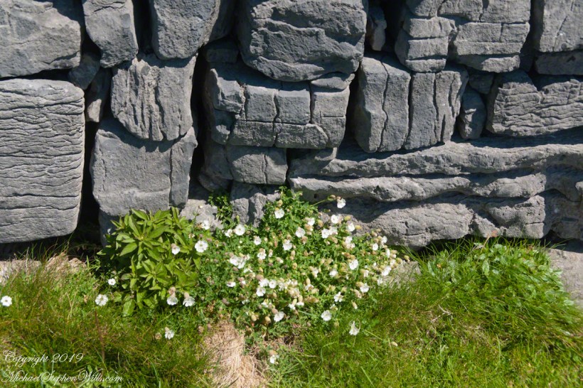
My previous post, “Inner Ring, at last”, lowered the horizon. Here, we study the base of the inner wall.

A detail of the interior wall of Dun Aonghasa (Dun Aengus) in springtime. White flowers of Sea Campion (Scientific Name: Silene uniflora) (Irish Name: Coireán mara) set against the ancient dry stone wall. Inishmore, Aran Islands, County Galway, Ireland.
We found Sea Campion throughout the west Ireland coast.

Wishing a blessed All Saints Day (November 1st) for all my readers.

Click me for the first post of this series, “Horse Trap on Inishmore.”

Reference: wikipedia Dún Aonghasa, Sea Campion

Copyright 2022 Michael Stephen Wills All Rights Reserved

Inner Ring, at last

Site of earliest construction, 1,100 BC

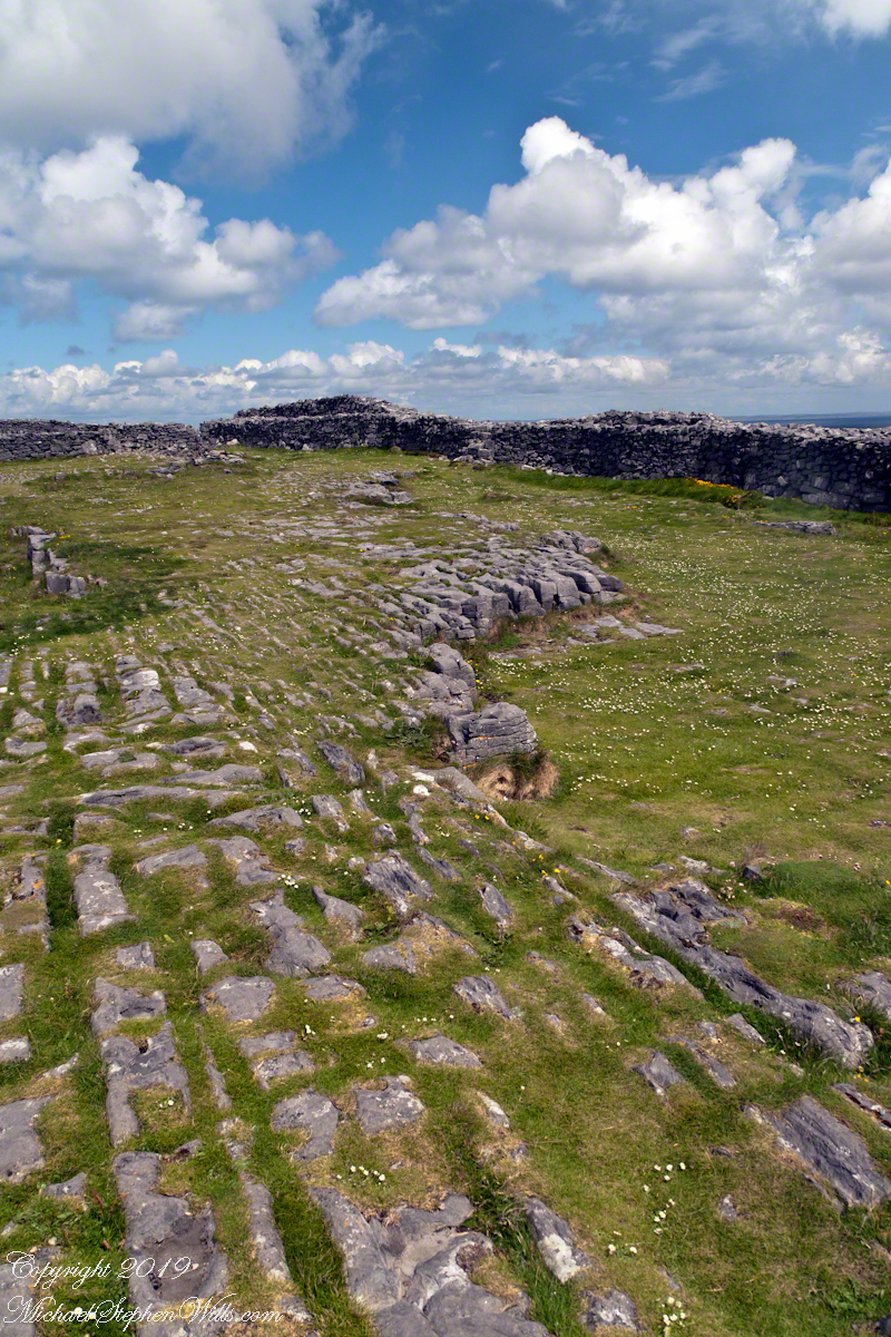
A view to the northwest from within Dun Aonghasa in springtime. The interior a karst formation (see my post, ” Galway Bay View from Dún Aonghasa”), the grikes filled with grass and a sprinkling of white and yellow flowers, a cloudscape rising over the walls. Inishmore, Aran Islands, County Galway, Ireland.

Click me for the FIRST post of this series, “Horse Trap on Inishmore.”

Reference: wikipedia Dún Aonghasa

Copyright 2019 Michael Stephen Wills All Rights Reserved

Grykes and Clints

where the wildflowers grow

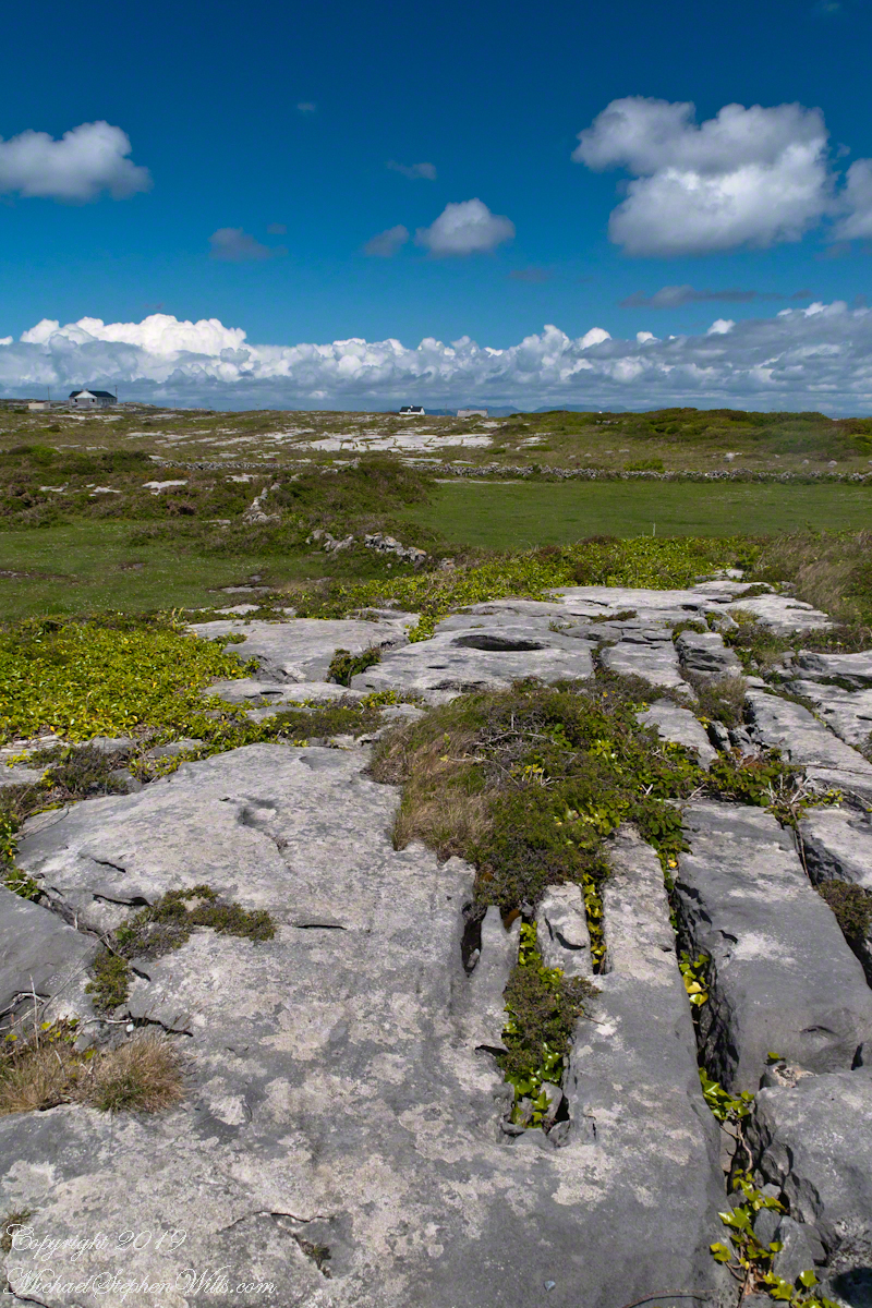
The exposed limestone of the Aran Islands here transitions to a fertile field of grass, husbanded by generations of islanders. Photograph was taken from the path on Inishmore leading up to Dun Aonghasa. 

The Aran Islands are an extension of The Burren of Ireland’s Counties Claire and Galway.  The word burren is from the Irish Boireann, meaning “great rock.”  The glaciers that covered Ireland, retreating about 10,000 years ago, scraped down to the bedrock, exposing wide areas of limestone and dropping, here and there, large rocks.  When people came along the foreign nature of the large rocks was recognized, all the more obvious for lying on the horizontally bedded, exposed limestone.  We call the foreign rocks erratics.  The underlying scoured rock is a pavement for a resemblance to a cobbled roadway.

The incised line, filled with grass and wildflowers, in the following photograph is called a gryke.  The body of stone between the grykes are clints.  Sometimes, the grykes are cross hatched and the clints resemble cobblestones or flat paving stones. 

The view is northeast toward the 12 Bens of Connemara. Inishmore, Aran Islands, County Galway, Ireland

Click the photograph for a larger view.

Click the link for my Getty IStock photography of the Aran Islands

Click me for the FIRST post of this series, “Horse Trap on Inishmore.”

References: search wikipedia “The Burren” and Google “gryke”, “clint.”

Copyright 2022 Michael Stephen Wills All Rights Reserved

Modern Drystone, Dún Aonghasa

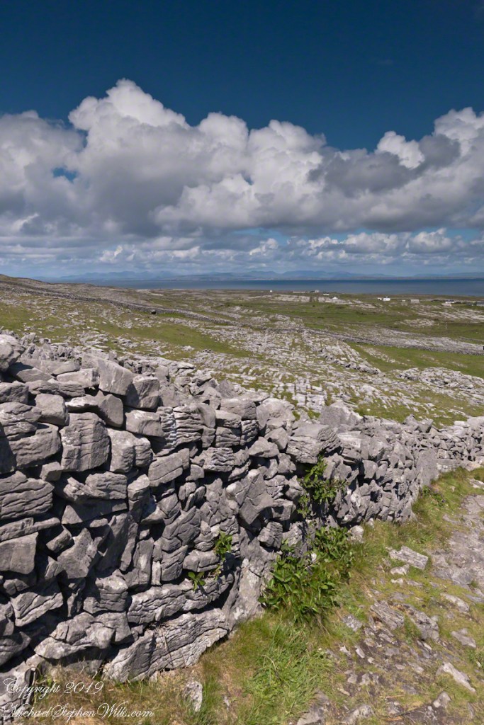
A modern path to Dún Aonghasa offers views of the karst landscape, walled fields, and the North Atlantic Ocean in Inishmore, County Galway, Ireland.

Modern stonework borders the 1/2 mile path to the inner Dún Aonghasa walls, keeping tourists off delicate plants, maintaining the integrity of this ancient site. 

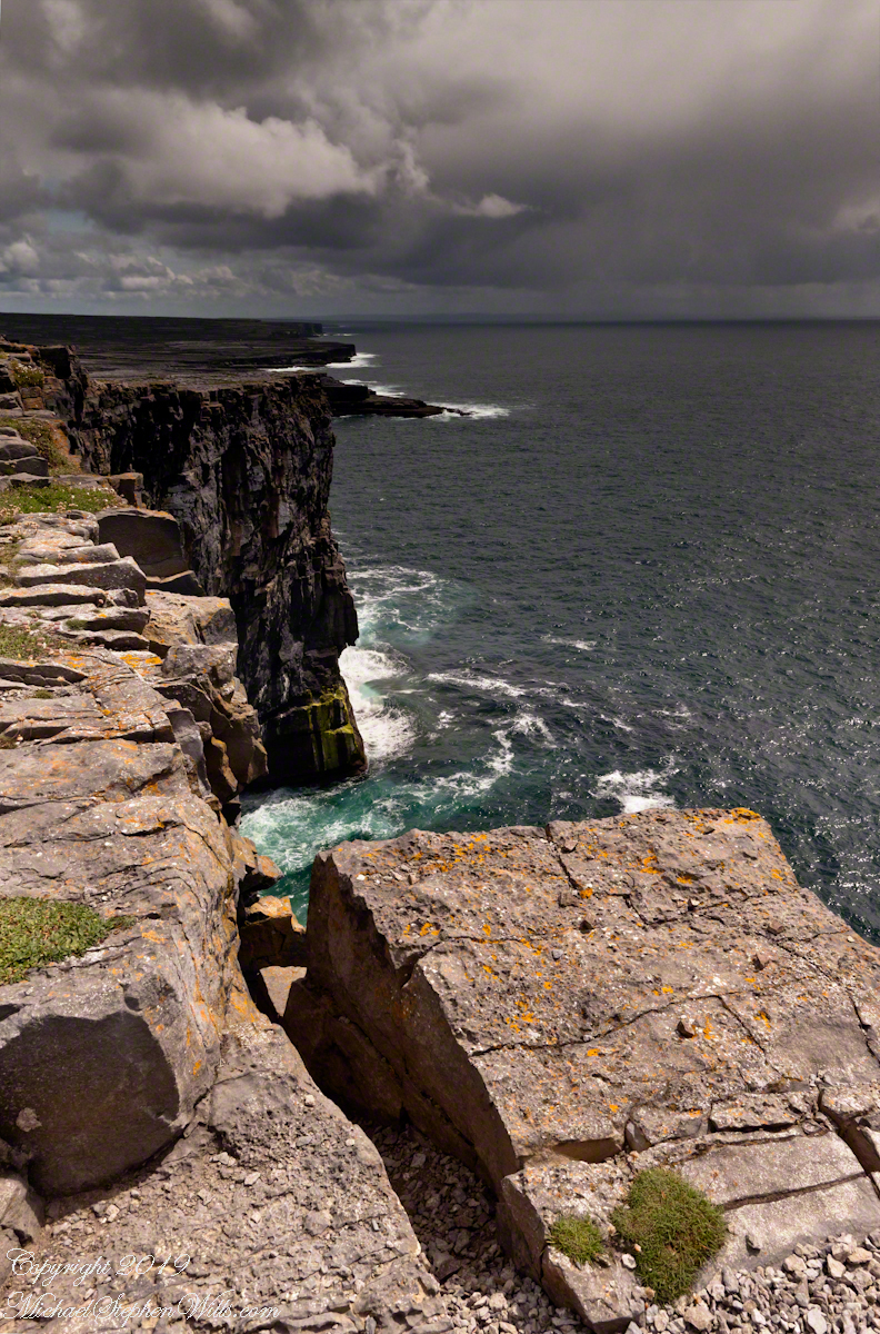
The view north, northwest over the walled path to Dun Aonghasa (Dun Aengus) looking across karst landscape, walled fields, farms, the North Atlantic Ocean, coast of Connemara and the 12 Bens (12 Pins) mountains. Aran Islands, County Galway, Ireland.
Click the photograph for a larger view.

Click me for the first post of this series, “Horse Trap on Inishmore.”

References: search wikipedia “Dún Aonghasa.”

Life from Death

while trillium

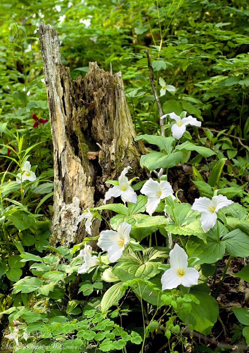
Taken with a Canon 100 mm “macro” lens, a Kodak digital single lens reflex body, a Manfrotto tripod and ample time and patience.

Enjoy!

Click here for my Online Gallery offering from this group.

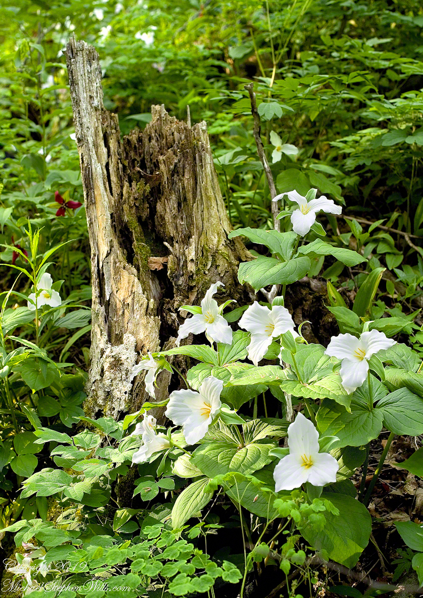
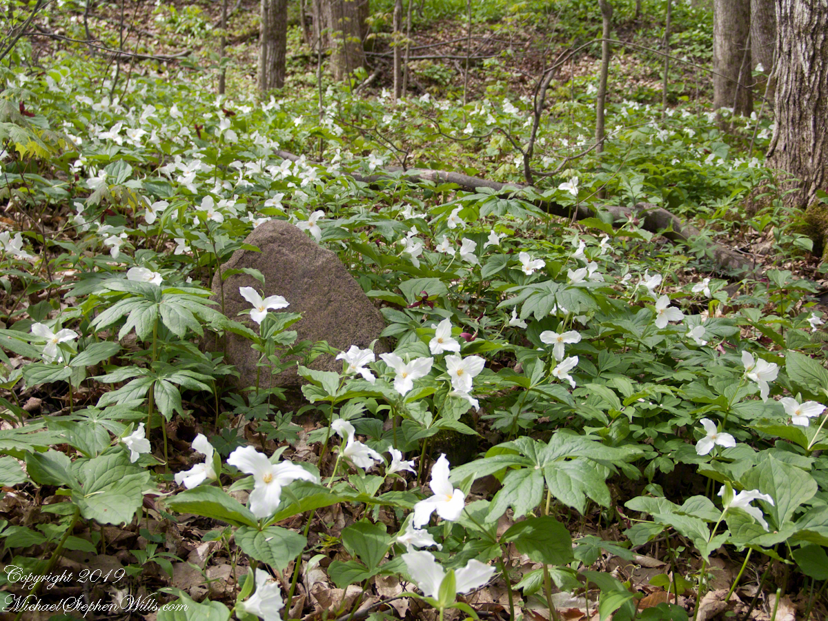
Trillium rise from the decaying tree roots.

Copyright 2022 All Rights Reserved Michael Stephen Wills

Massed White Trillium Blooms

Wonder of the northern spring forest

Click here for my Online Gallery offering from this group.

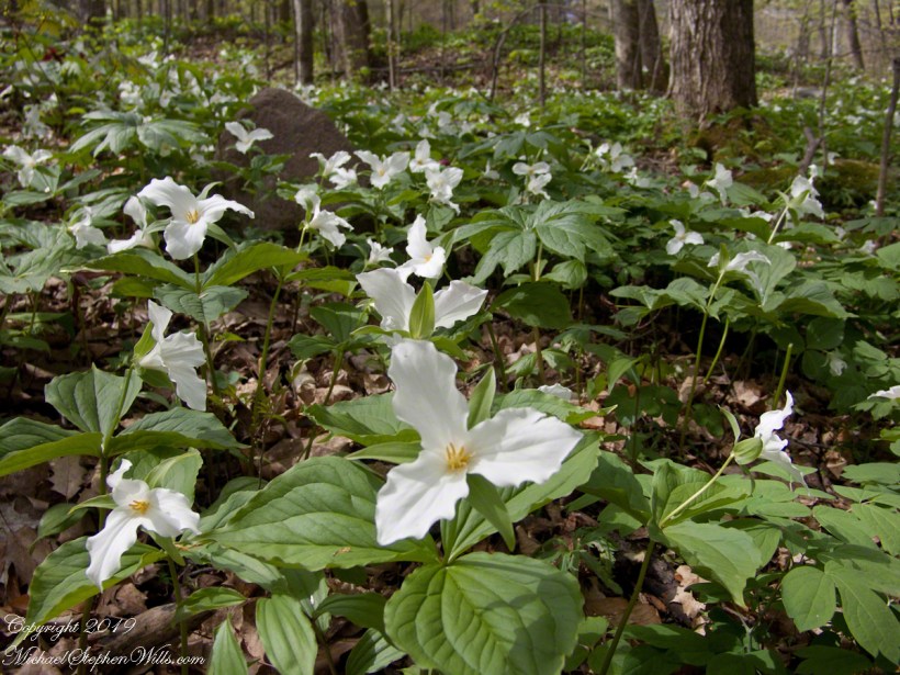
I came upon this display April 2004, a wonder of the northern spring forest.

Click either photograph for a larger view.

Copyright 2022 All Rights Reserved Michael Stephen Wills

Spring Fragrance

What Phlox fragrance brings to mind.

Working as a consulting dietitian, back in the 1980s, on a early June drive from Canisteo, New York on route 19 north of Mansfield, Pennsylvania, where the road goes through the Tioga-Hammond Lakes Recreation area there were miles of phlox growing on the east side of the road. The fragrance of phlox was pervasive with the window down and to this day I remember that time when phlox is in bloom as it was on June 5th, last week.

Click any photograph for a larger image.
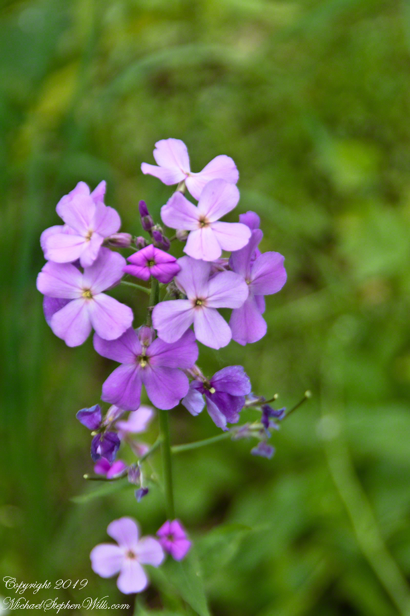
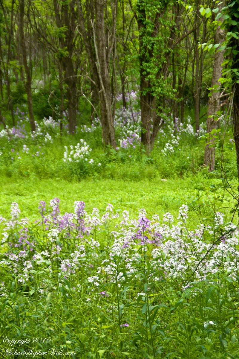
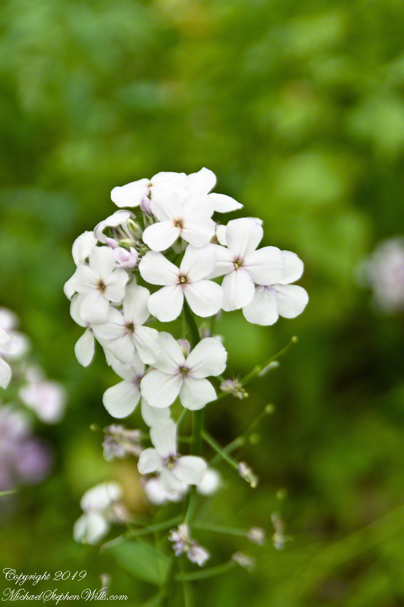
The species name (Phlox) divaricata means “with a spreading and straggling habit”.

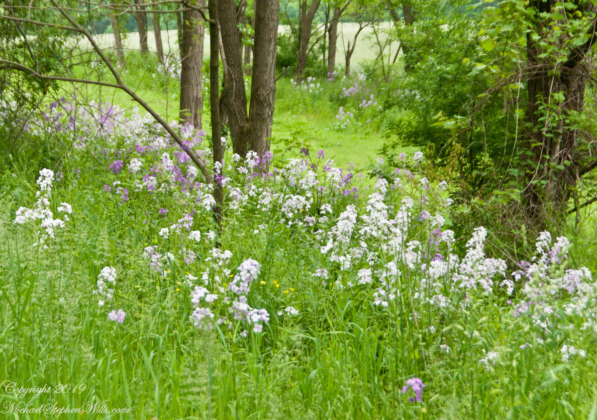
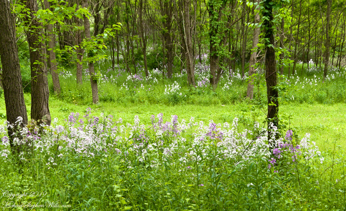
On the way to Treman State Park, to check out wildflowers, on an afternoon that threatened rain I came upon these stands of phlox, growing as it does under trees in damp soil on the east side of Colegrove Road. We’ve had plentiful rain this spring.

Phlox is abundant here

Looking it up in my reference book, “The Botanical Garden”, the plentiful number of species was daunting. (CLICK ME for more about this reference.) Bloom times spread across the calendar from May through August and into autumn. Species blooming in June were just not a good match.

The blooms seem to go on forever into the woods.

It was a surprising result, though in retrospect given the wide distribution and abundance of species, is to be expected. So I poked around the internet search engines, results from varied search strings, until Phlox divaricata popped up as a wildflower with a late May / early June bloom and growth habit and flowers matching these.

I captured macros of the two hues from roadside specimens.

Copyright 2019 All Rights Reserved Michael Stephen Wills

Life and Death

Rumination on wild flower blooms

Click here for my Online Gallery offering of trillium.

An access road, now blocked with huge boulders by the State Park, leads to this dam at the head of Fillmore Glen. I stop here for reflection at times and have climbed behind the dam for photographs. It is possible to drive up the south side of the glen on a poorly maintained road and park next to the boulders. In this season (spring) the surrounding forest is carpeted in wildflowers. Hepatica, trillium, dutchman’s breeches. One day, years ago, I pulled in behind a late model convertible with a license plate holder advising the owner was a member of the 10th Mountain division and a World War II veteran.

They were a well dressed and groomed couple. The white haired driver, in his late 80’s at least, patiently waited while she, a frail woman, walked the margins of the forest, enjoying the wildflowers. It was my impression this was a ritual for them, developed over the years. One of the few spring outings left to them.

Wildflower displays develop over hundreds of years. The massed trillium are on land not disturbed for thousands of years, since the last ice age. These same spring wonders were certainly enjoyed by the Iroquois before us.

Click either photograph for a larger view.

On the gorge slope below the parking area, in a hollow on the north side of a large (I recall) oak, one early sunny spring morning I discovered the last resting place of a deer. Only the bones and some fur remained, the visible portion resembles the Capitulum and trochlea of a human arm bone and, indeed, there was a scapula close by. The season is evoked by the unfurling fern against the based of the oak.

Dark, Unwritten Forest Secrets
Copyright 2022 All Rights Reserved Michael Stephen Wills

Ulumay Wildlife Sanctuary

Brevard County Park on Merrit Island

Ulumay is the name of the Native American settlement of the Ais people decimated by disease after the arrival of Europeans. The park is a natural lagoon and bird rookery linked with canals created for mosquito control and surrounded by a manmade dike. A trail on the dike provides access to the waterways for the fisherman, birdwatchers, and paddlers.

This informative placard, placed at the entrance. Note the 600 park acres is surrounded by residential properties.

I left Pam at the entrance, seen below at the words “Ulumay Wildlife”; she had a reasonable concern about alligators. It is quite possible to find a large specimen blocking the one and only trail. “What? Me Worry?” When pursued by an alligator, remember to zig-zag.

“Flora and Fauna”

Waterways, sightings

Second Stand

Third Stand

No sightings of alligators or manatees.