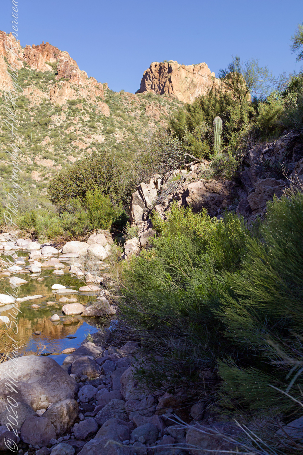
Reaching Reavis Falls, once you find the canyon mouth, is three-fourths of a mile of boulder hopping and bushwacking over and around landslides, deep pools and fallen trees. Odds are you will be the only person in the canyon for weeks, if not months. Expect to be surprised. In this chapter you will (finally) visit the falls themselves.
A Camp in the Canyon
Click me for the chapter about the environment around the mouth of Reavis Canyon below the falls.
The Last Mile
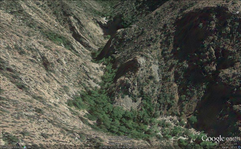
Here is an overview of the last third mile of Reavis Canyon. You can see the wall of the falls nestled in the folds of ridges towards the top, just off center.
On the lower right is a large landslide and, below there, it is complete chaos.
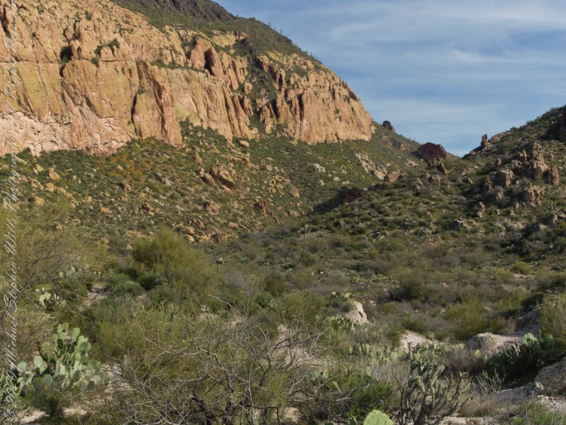
The vegetation grows shoulder to shoulder with interleaved branches. You will not get through there. The solution is to find a way around, usually over and around house-sized boulders.
The image was captured from Google Earth
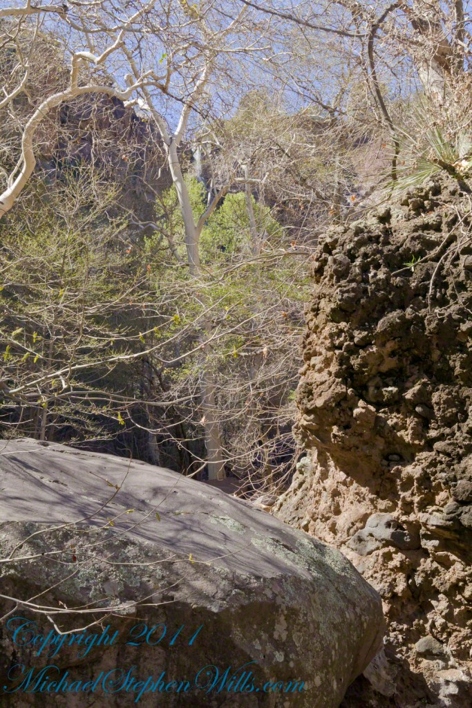
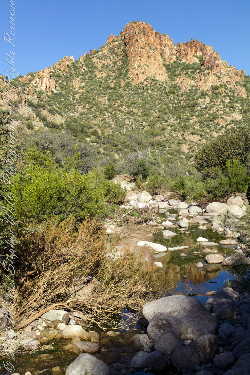
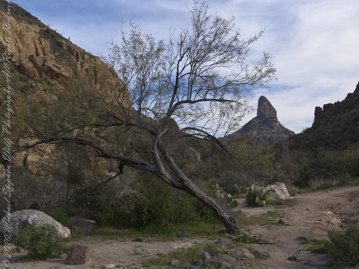
After almost two hours of picking my way, there was a flicker of light. The fall waters were sparkling in the sunlight high above the cottonwood trees, in full Mach bloom, and the still leafless Arizona Sycamores.
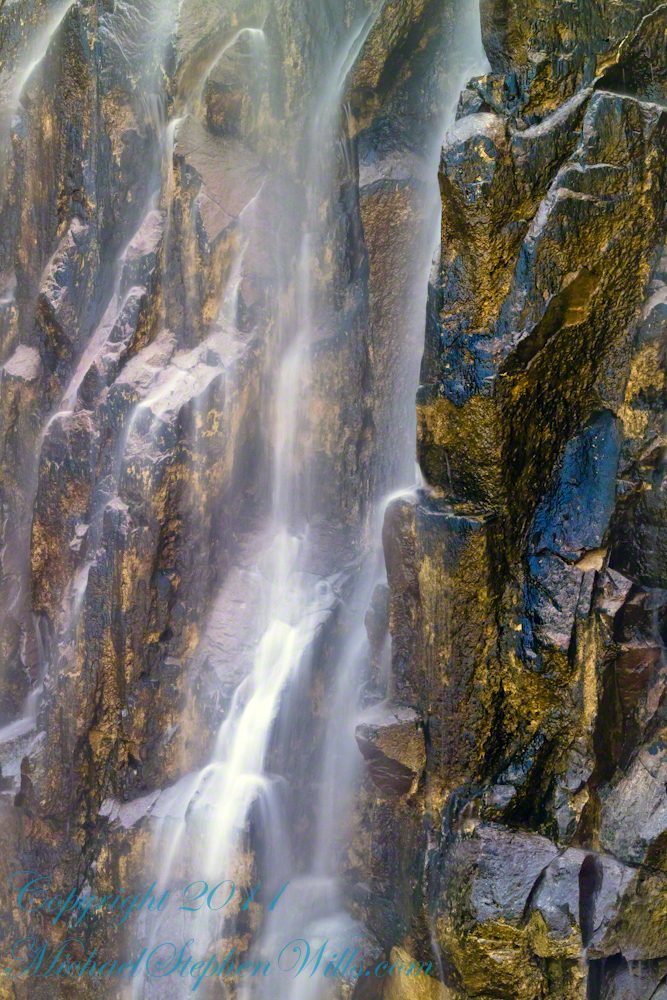
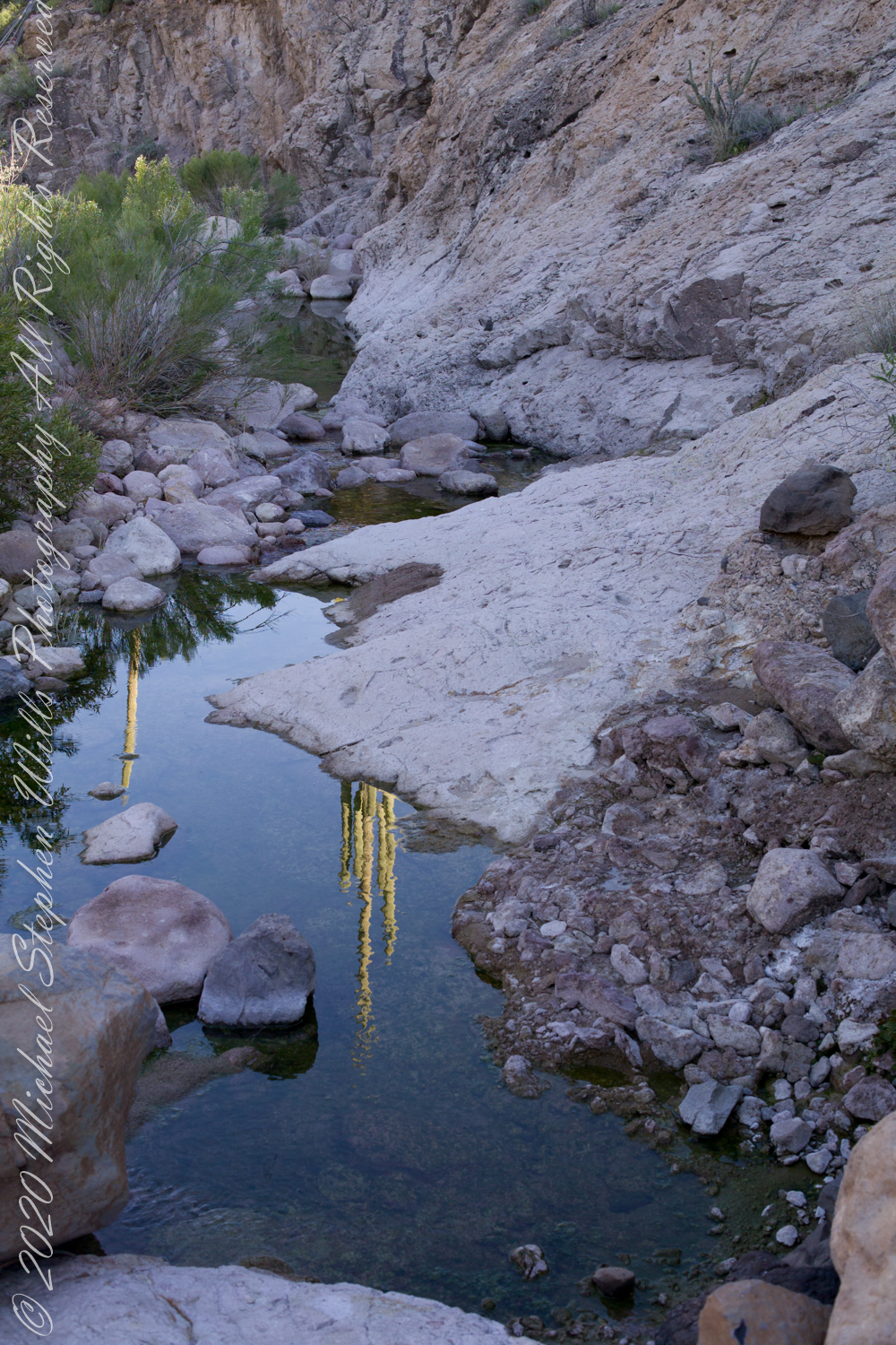
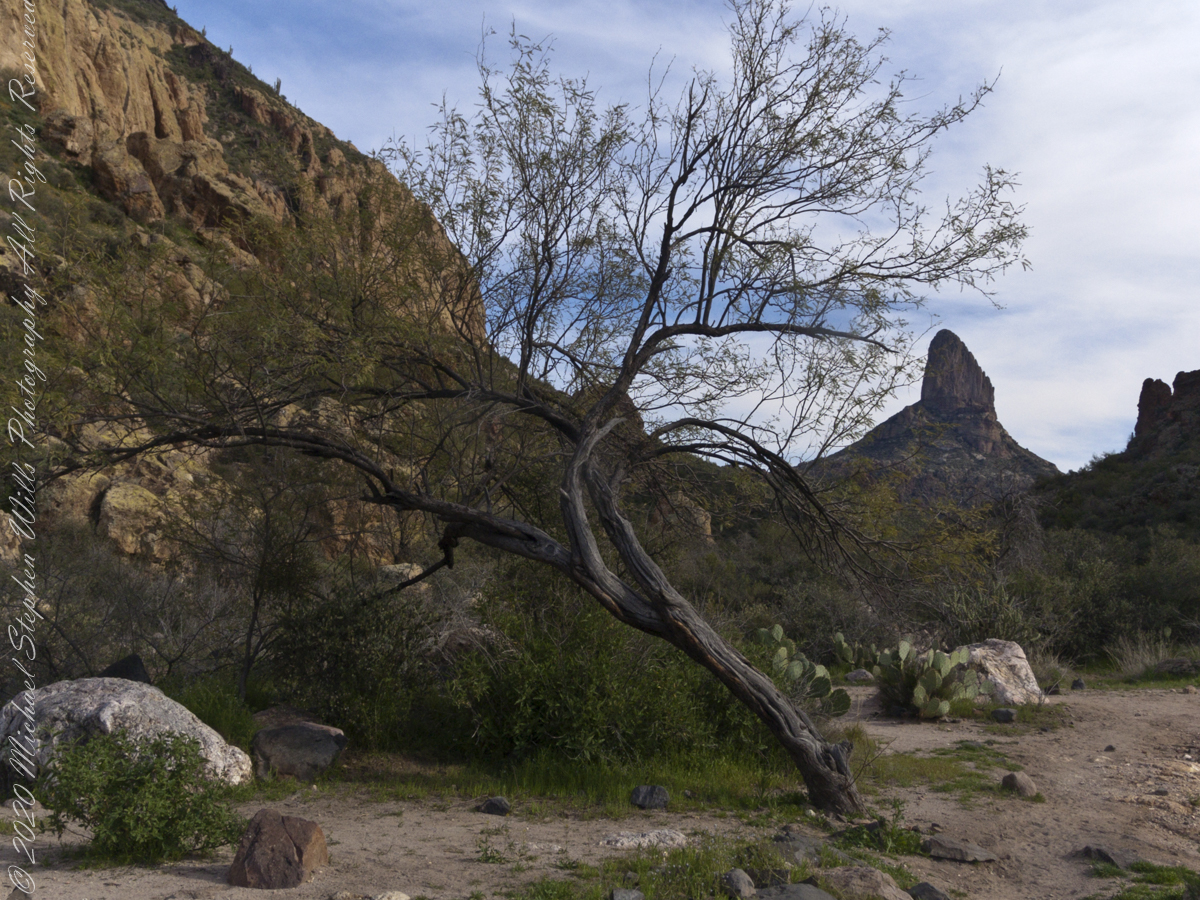
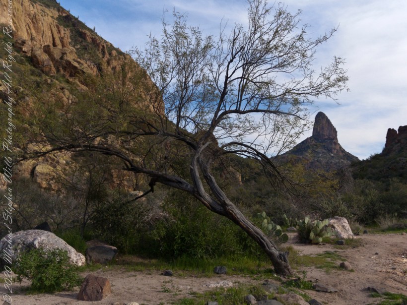
This was my view of Reavis Falls from the canyon on a March day before the Arizona Sycamores have leaved. The falls are the tiny patch of white to the left of midline where the earth meets the sky. Jumbles of infallen boulders and thick growth of sycamores, oaks and fully leaved cottonwoods cloak the falls.
Another 30 minutes of canyoneering brought me to the foot of the falls.
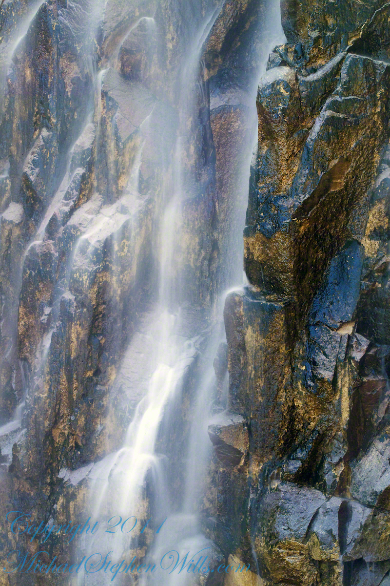
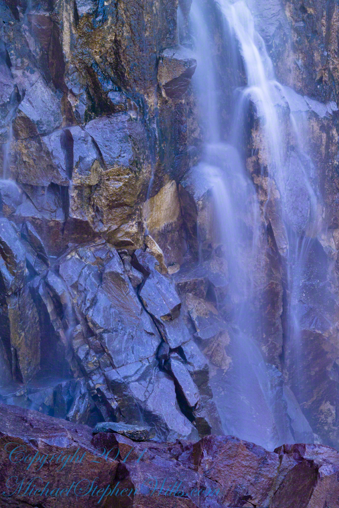
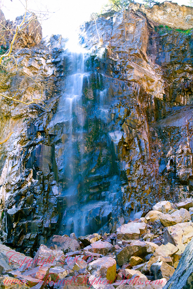
At the Foot of Reavis Falls
Looking up at Reavis Falls from a 20 foot tall mound of talus.
These are boulders washed down at flood time.
The rock wall is thick with microorganisms, fungi and mosses.
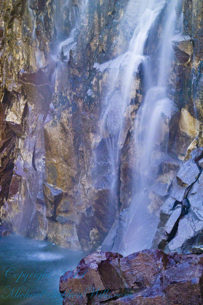
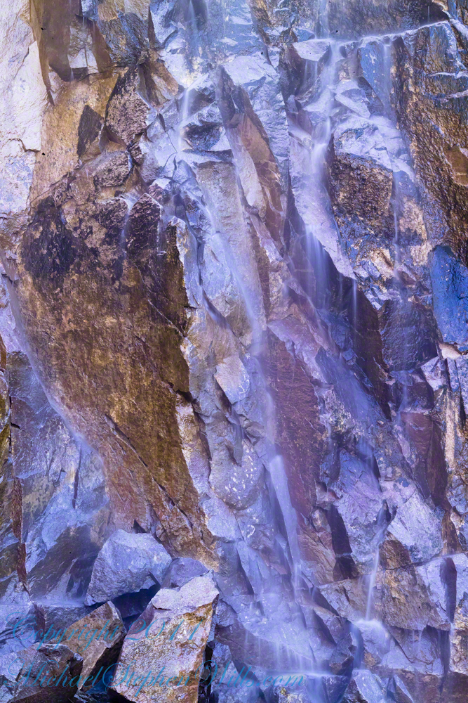
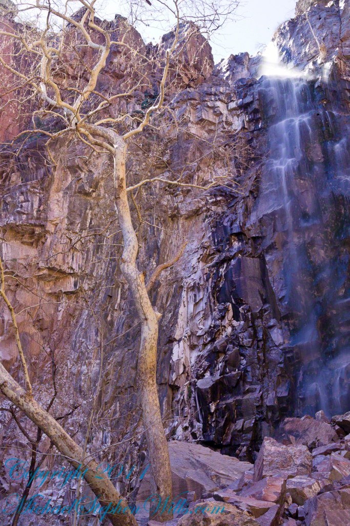
After clambering around the talus pile I found this angle….
An Arizona Sycamore, before the spring leafing, at the Foot of Reavis Falls
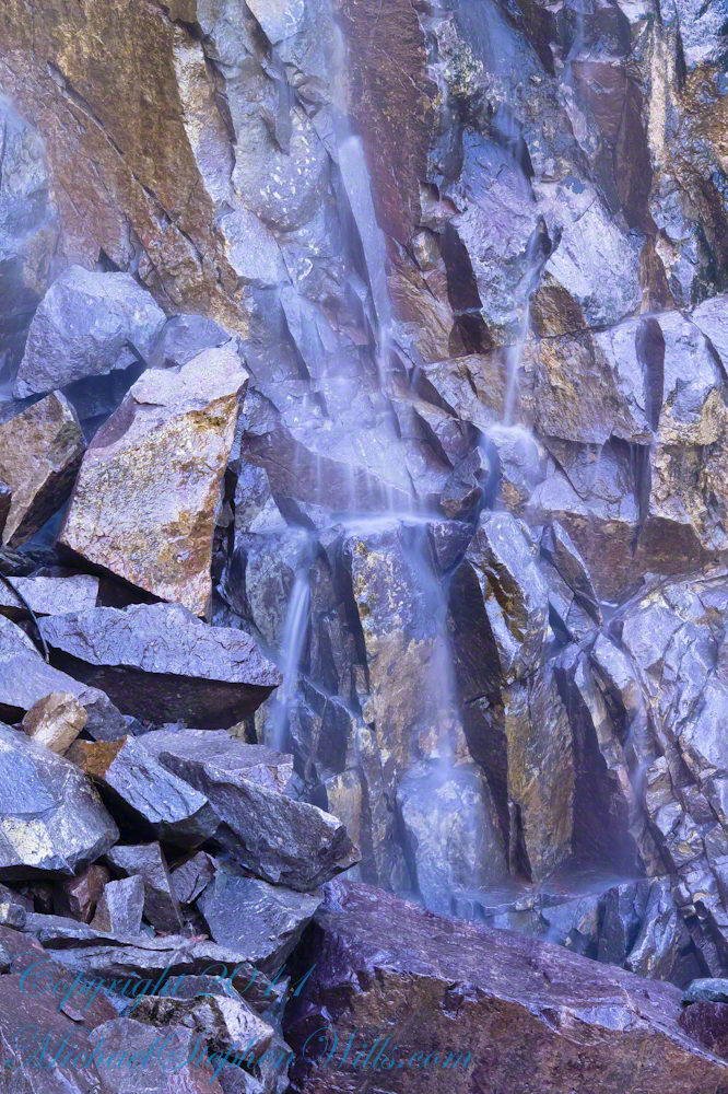
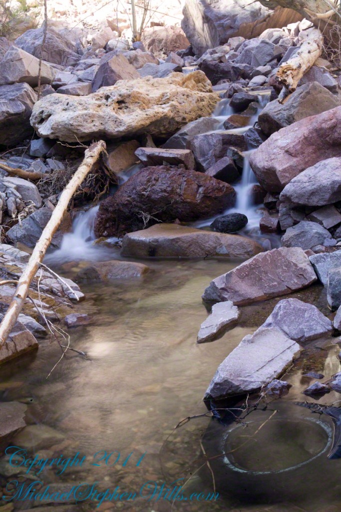
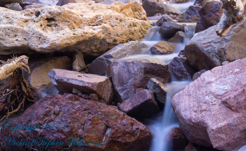
Talus at the Foot of Reavis Falls
The Reavis Falls talus is large boulders carried down Reavis Creek and washed over the falls at flood time as well as blocks fractured from the cliff face. You can see the base of the Sycamore from the previous photograph.
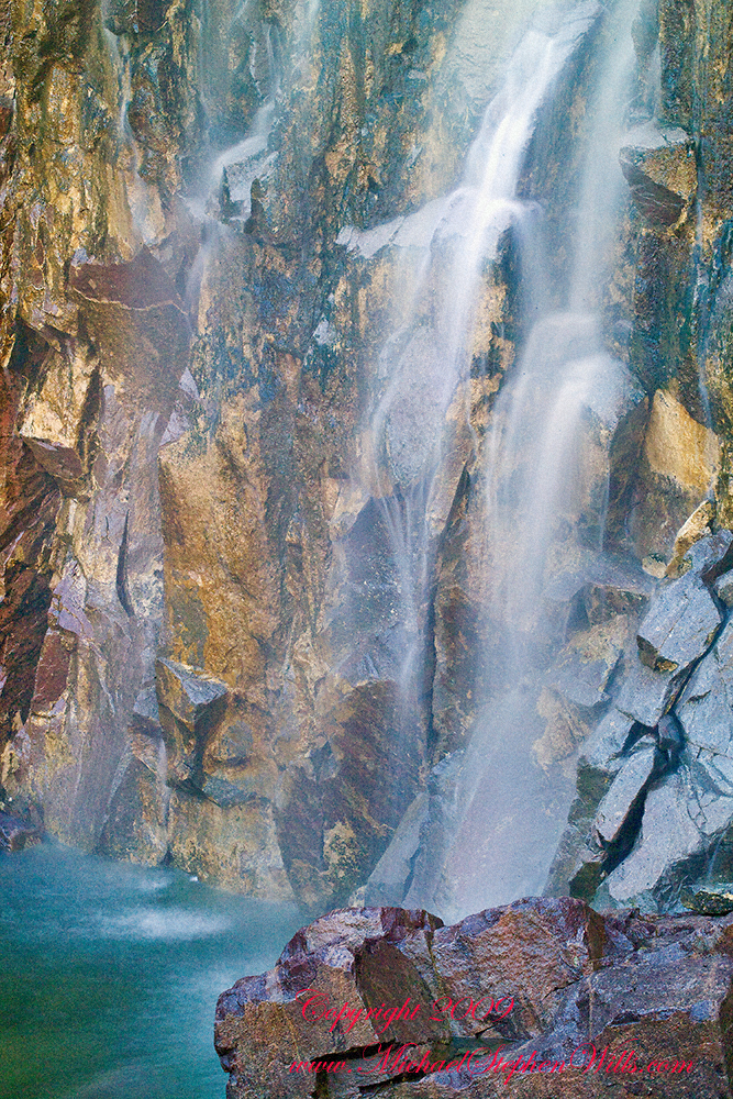
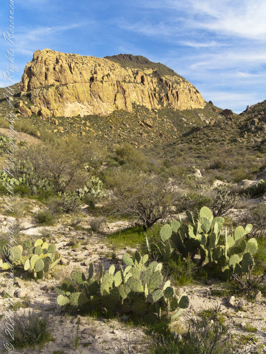
The falls are formed where Reavis Creek flows over a solid mass of rock. The talus is composed mostly of this red rock. From the edge of this cliff to the base, where the falls hit the canyon floor, is all of 140 feet. This is a far as you can proceed into the canyon without some serious climbing skills.
It is possible to climb around the canyon by climbing up the ridge from which I captured the Cedar Basin Hoodoos. See my posts below for this location (you need to work it our for yourself).
This is NOT the last post of the series. From here I will focus on the beauty of Reavis Falls and the canyon that holds them.
It was a four-day expedition so there are a few chapters covering the approach to the Falls:
The Superstition Wilderness was born from volcanic eruption and in some places (Peters Mesa) the earth still rumbles.
Here in Reavis Canyon it is the huge spring runoff that builds the environment, grinding and scouring the canyon. In my chapter The Mouth of Reavis Canyon is the story of this aspect of the canyon.
The history of this spot is written on these volcanic and igneous rocks and boulders, the uprooted tree roots and fresh water.
The tire must have washed down from Reavis Ranch.
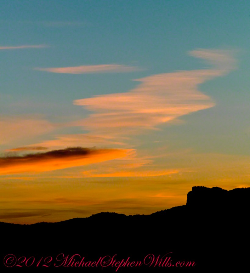
A Canyon of Wonder and Beauty
In this chapter I present, in the header, the lovely dawn sky of that day, and a tiny corner of a rock jumble in Reavis Creek. There is a large format version of the sky in my previous post, “The Mouth of Reavis Canyon.”
Rivulets and Rocks
Copyright 2023 Michael Stephen Wills All Rights Reserved
Our camp for the first night was East Boulder Canyon, between Black Top Mesa and Palamino mountain. On the topographic map, below. the bright orange line is Dutchman Trail. We are at the lower center, at the foot of the “Z” in trail, a switchback over Black Top Mesa pass we’ll traverse the next day.
A topographic map including Yellow Peak with Dutchman Trail in orange. Upper Black Top Mesa Pass lower center.
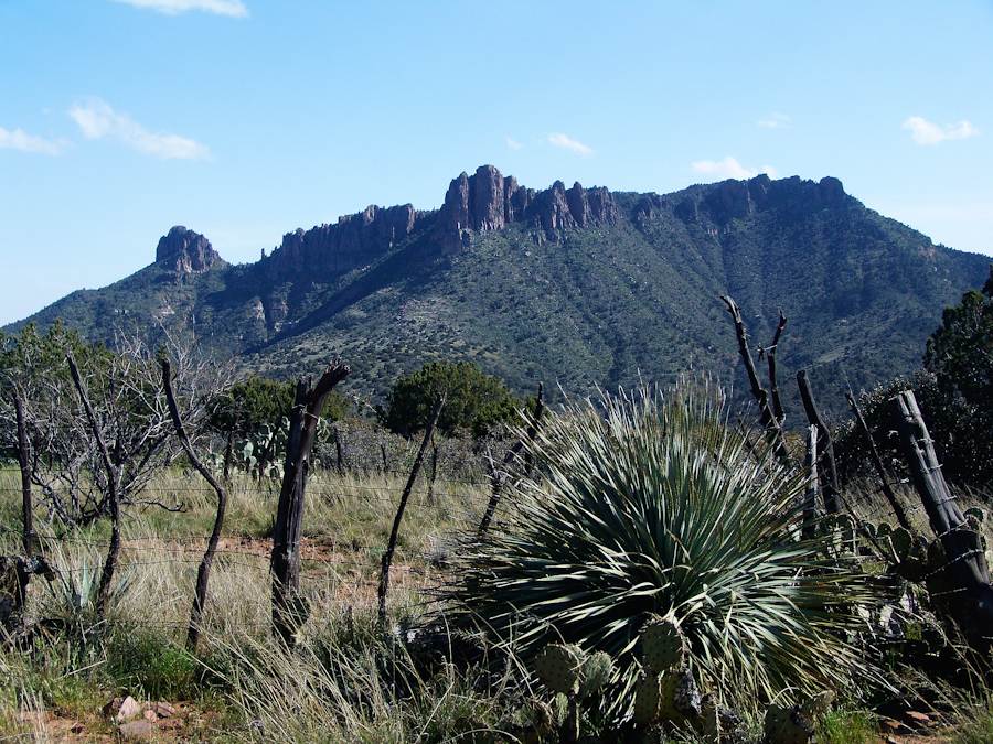
The map locates Yellow Peak, where the four Utah treasure hunters lost their lives Summer 2010, at the upper center next to Black Mesa Trail. The peak is framed by Black Top Mesa and Palamino Mountain in views to the northwest from Boulder Canyon, as you will see in a later posting.
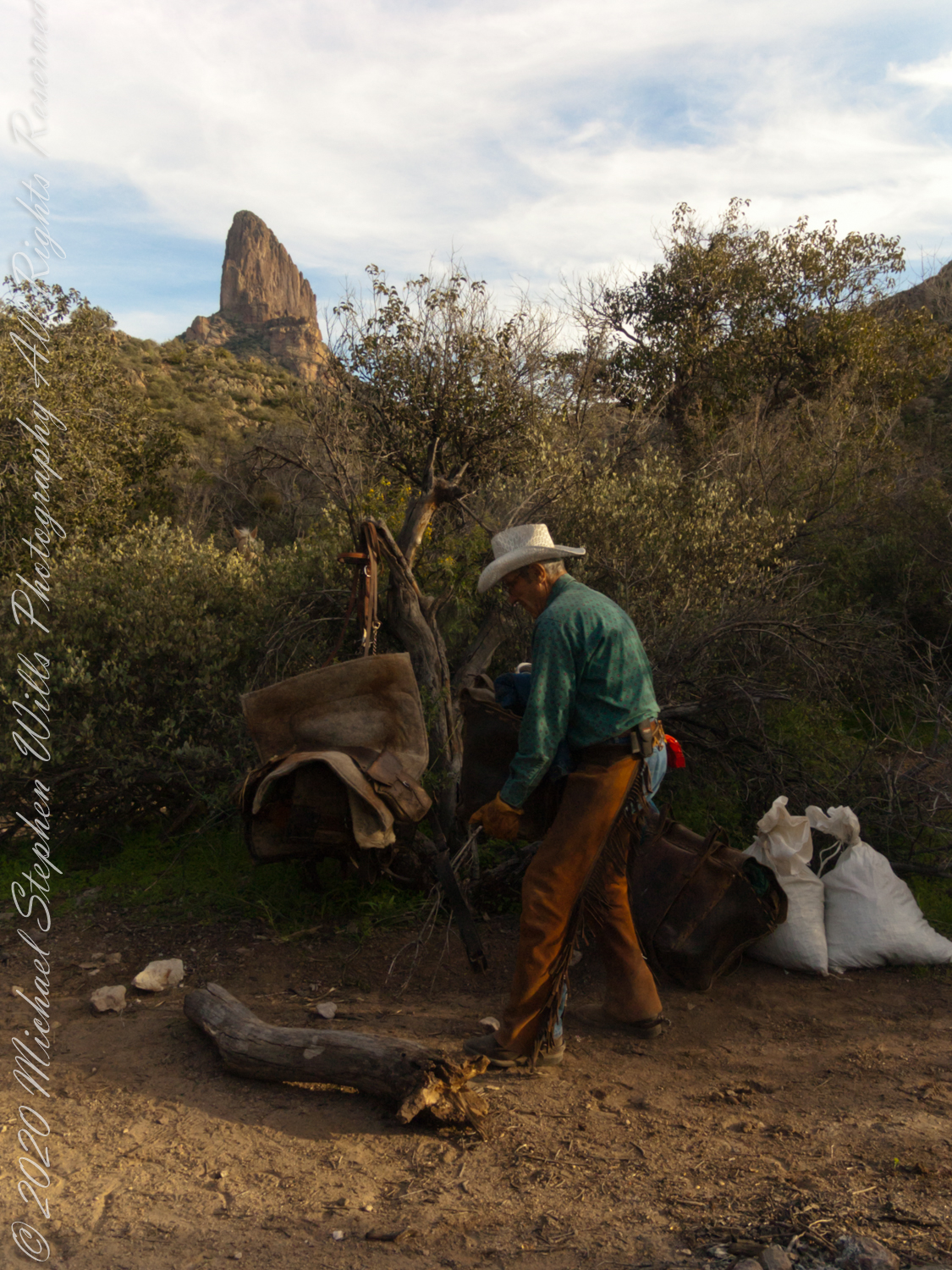
Our evening was a quiet one of camp chores, an enjoyable meal with homemade beef jerky, coffee and plenty of water to rehydrate. The horses chomped on grain from feed bags. They packed in the grain as grazing is not allowed in the wilderness. I gave each a treat of carrot and apple.
.
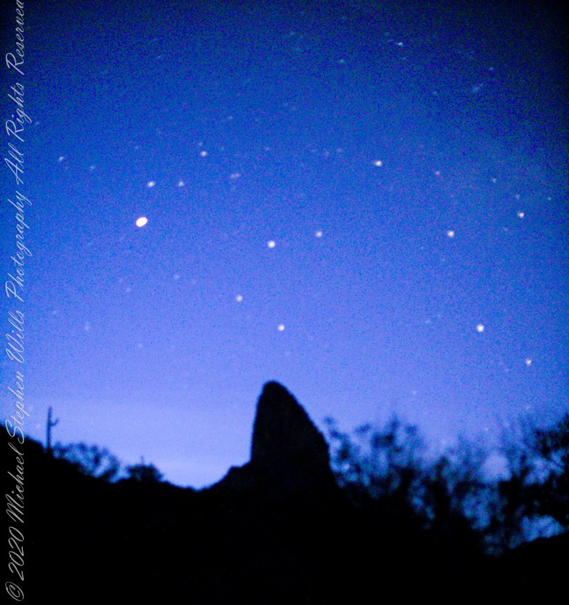
I was up well before dawn to capture the morning constellations over Weavers Needle: from the left, I believe I recognize Lyra with Vega accompanied by Epsilon Lyra, next the keystone of Hercules. The brightest object is Venus.
.
Taking a break from morning water gathering in East Boulder Canyon: saguaro cactuses reflected in a still pool, looking up to the northwest you can just about see the Peralta trail where it crosses a Palamino Mountain ridge. West/Northwest the Peralta trail crosses behind the same ridge.
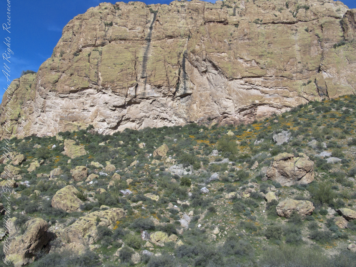
A few minutes after photographing this Stressed Mesquite I looked across the creek to the slope of volcanic rock fallen from the cliff of Black Top Mesa where clumps of dark yellow, in the following photograph of that cliff, mark clusters of flowering Mexican Poppies.
Mesquite, of the genus Prosopis, is a widespread, successful desert shrub that sometimes grows into a tree forms, as you see here. A mesquite tap root can extend 190 feet down to draw on the water table. East Boulder Creek was flowing, in this season, a few feet away. Still, this mesquite is stressed, with a loss of over half of its bark. Dutchman Trail between Black Top Mesa and Palamino Mountain, Superstition Wilderness, Tonto National Forest, Arizona
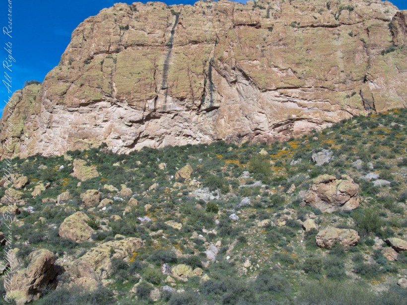
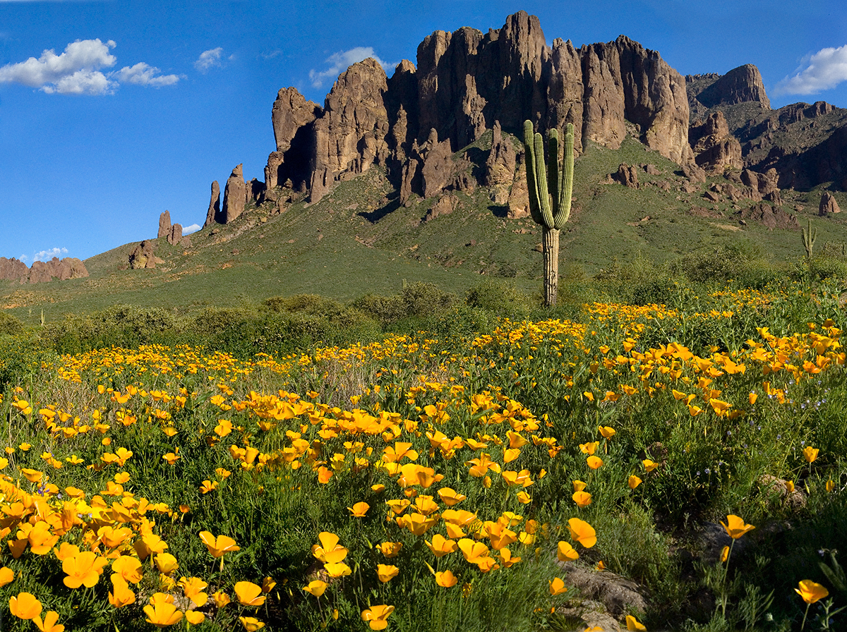
Plentiful winter rains of 2008 trigged a profusion of Mexican Poppies throughout the Superstition Wilderness. Here is a photograph captured after our expedition.
Look carefully for a scattering of color, like gold dust, at the foot of the volcanic cliffs. That is spring blooms of Mexican Poppy (Eschscholtzia californica). This gold wonder is plentiful from the month of late February through April, varying with the rains.
Copyright 2022 Michael Stephen Wills All Rights Reserved
Mesquite, of the genus Prosopis, is a widespread, successful desert shrub that sometimes grows into tree form, as you see here. A mesquite tap root can extend 190 feet down to draw on the water table.
East Boulder Creek was flowing, in this season, a few feet away. Still, this mesquite is stressed, with a loss of over half of its bark. The ever-present Prickly Pear is in the middle distance. I prefer the image with the distant Weavers Needle, a neck of eroded volcanic rock, is brightened by the setting sun. To the left, the light-colored rock of Black Top Mesa is also of volcanic origin.
.
I am here on the Dutchman Trail between Black Top Mesa and Palamino Mountain, Superstition Wilderness, Tonto National Forest, Arizona.
Here is a gallery of post images, making comparison easier. All were taken with a handheld Sony F828. Walking without a pack make it possible for me to wear the camera.
Two Bar Mountain from trail 122 with corral made from mesquite trunks and barbed wire. Yucca and prickly pear in foreground.
The black basalt of the mesa, for which it is named, is just visible above the lighter colored alternating layers of ash and tuff all remnants of volcanic eruptions 15 to 29 million years ago. We are on the Dutchman trail with the slopes of Palamino Mountain on the right. Ahead, other members of the expedition are just visible.
In this view the late afternoon shadow of Palamino Mountain reveals the defile to which we are headed. Poles of young Saguaro Cactus (Carnegiea gigantean), poke from the black basalt capping Black Top Mesa. Foreground left is Stag Horn Cholla (Cylindropuntia), on the right is Prickly Pear (Optuna).
.
Look carefully for a scattering of color, like gold dust, at the foot of the volcanic cliffs. That is spring blooms of Mexican Poppy (Eschscholtzia californica).