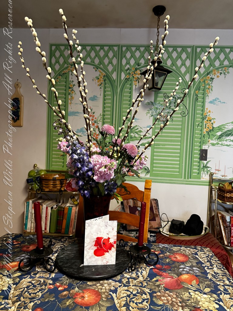
The arrangement is composed of Pussy Willow, “Lollipop” chrysanthemums, Blue Larkspur (Delphinium) and an unidentified pink flower the grows from a spike, like the Larkspur.
On the card is a Spine-cheeked ClownFish. This fish species lives among the tentacles of the Bubble-tip sea anemone, also in photograph. “Both organisms form a symbiotic relationship: the clownfish will rarely stray more than a few yards from its stinging tent of protection. The anemone benefits from the darting antics of the clownfish, which protect the anemone from its predators.” Quote from the Sierra club. Photograph on card by Mike Bacon.
Copyright 2023 Michael Stephen Wills All Rights Reserved
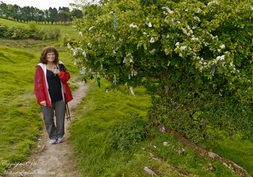
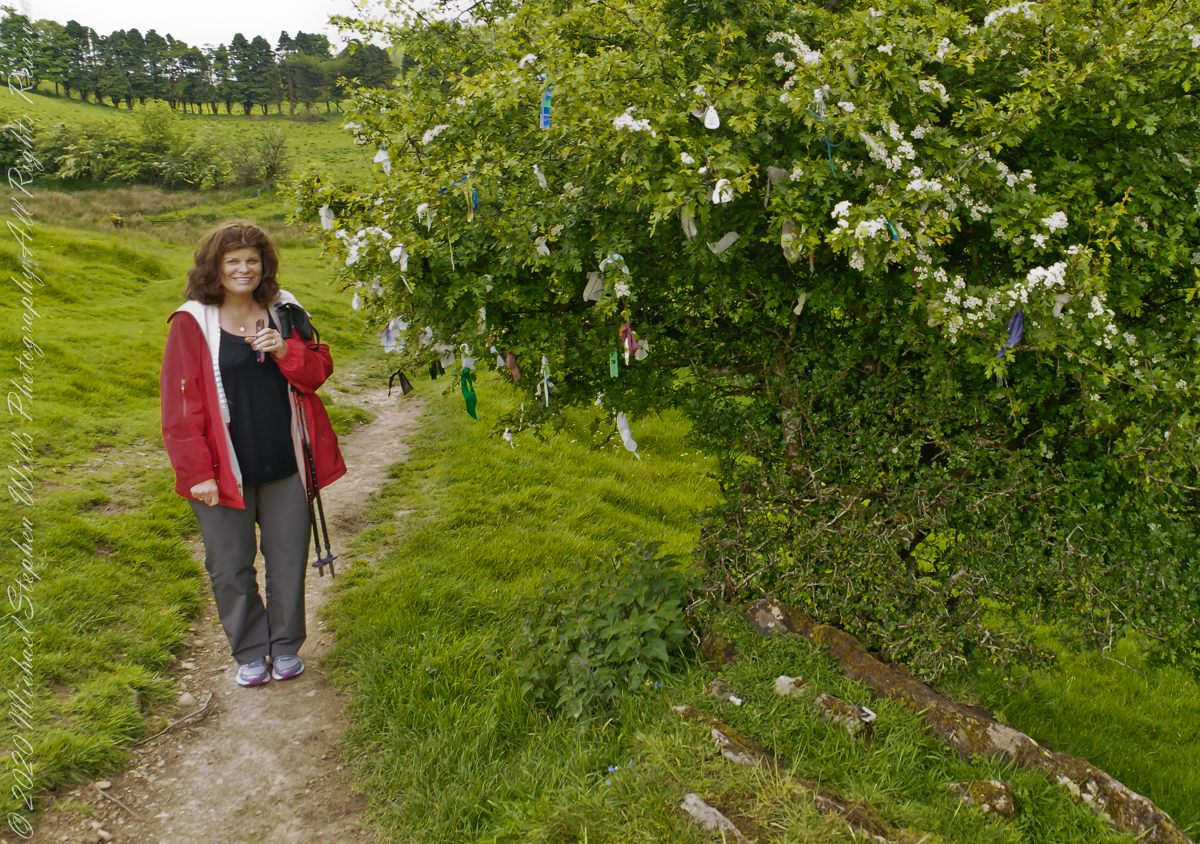
Pam and I were lucky enough to plan our tour of Ireland for May and June when the Hawthorne trees are in bloom. Named sceach gheal in Gaelic, the white clusters of blossoms symbolize hope. Hawthorns are plentiful throughout the island. The Irish revere the tree and associate each Hawthorn with the Little People. There are roads in Ireland that curve around a Hawthorn tree because the local people convinced the engineers to do so, to save the tree.
This specimen, covered with offerings (to the Little People?), is on the trail to Loughcrew. Even with her knee trouble, Pam made it to the top of the Hag’s Mountain to visit Cairn T of the Loughcrew Passage tombs.
The steep path to Loughcrew passes a hawthorn covered with flowers and may offerings.
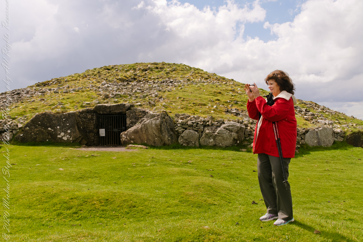
Pam loves to capture images and returned from Ireland with a large collection. Most of the photos of me at work are by Pam. Here Pam is capturing the summit view of Hag’s Mountain with the Cairn T entrance gate in the background. Lucky for us, a fellow visitor made the trip to Loughcrew Gardens and picked up the gate key from the café. In a later post I will share my work from inside this passage tomb.
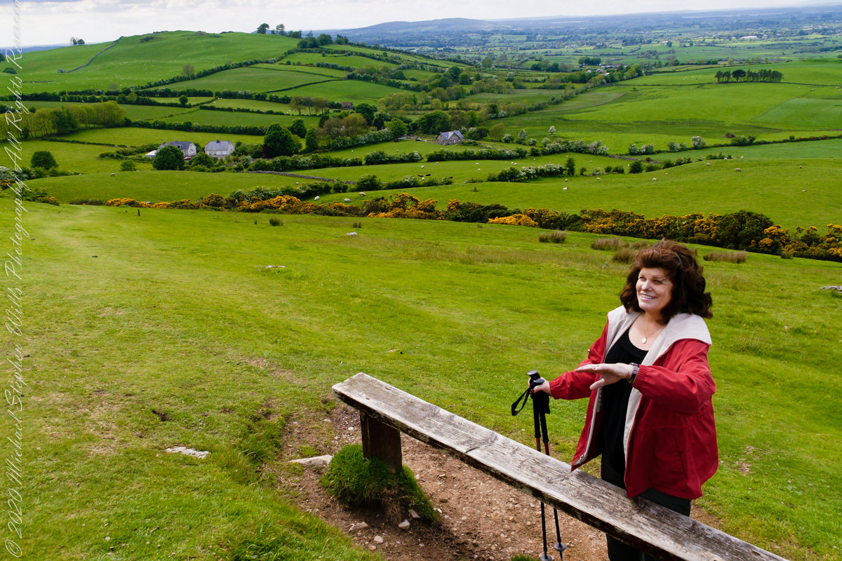
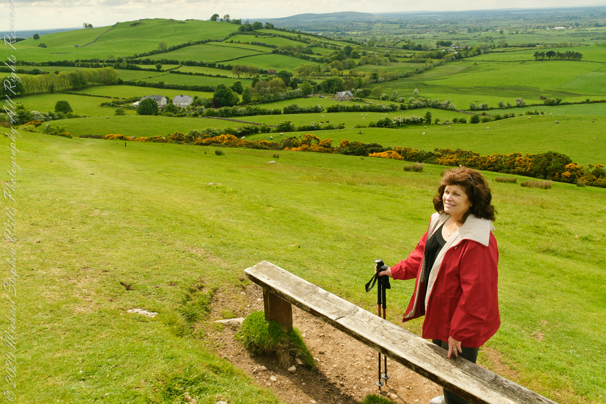
Pam makes friends wherever we go. She started down the mountain before me to take it easy on her knees. When I caught up, Pam and a young Irish family were deep in conversation. I took the opportunity to capture Pam with that gorgeous view to the northwest, Irish countryside with Lake of the Branches in the far distance.
Copyright 2023 Michael Stephen Wills All Rights Reserved
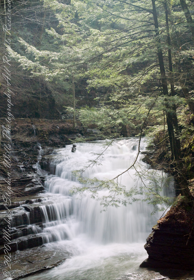
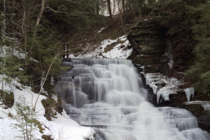
Here is the third waterfall in the Fillmore Glen Gallery of Waterfalls, shaded by hemlocks, below bridge eight (8) on an early spring morning of high-water volume.
A high dynamic range rendering from several exposures from a Kodak DSC Pro SLR/c with a Canon EF 50 mm f/1.4 USM all mounted on a very stable Manfrotto 468MG tripod with Hydrostatic Ball Head.
Fillmore Glen State Park Moravia, Cayuga County, New York.
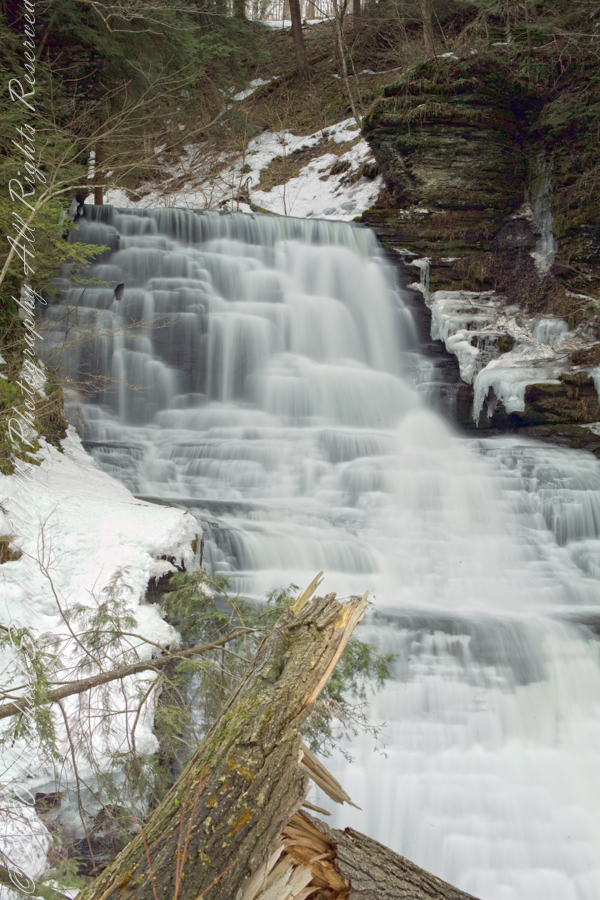
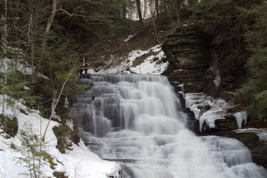
Portrait orientation of the waterfall beneath the dam reveals the length the water takes across a cliff face. A shattered Hemlock destroyed over previous winter is in foreground.
A high dynamic range rendering from several exposures from a Kodak DSC Pro SLR/c with a Canon EF 50 mm f/1.4 USM all mounted on a very stable Manfrotto 468MG tripod with Hydrostatic Ball Head.
Fillmore Glen State Park Moravia, Cayuga County, New York.
The high waterfall flowing from the outlet from the dam of Dry Creek on a spring morning just after the solstice. A shattered Hemlock destroyed over previous winter is in foregound. Fillmore Glen State Park, Moravia, Cayuga County, New York
The upper portion of a high waterfall flowing from the outlet from the dam of Dry Creek on a spring morning just after the solstice.
A high dynamic range rendering from several exposures from a Kodak DSC Pro SLR/c with a Canon EF 50 mm f/1.4 USM all mounted on a very stable Manfrotto 468MG tripod with Hydrostatic Ball Head.
Fillmore Glen State Park Moravia, Cayuga County, New York.
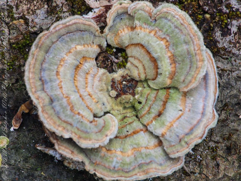
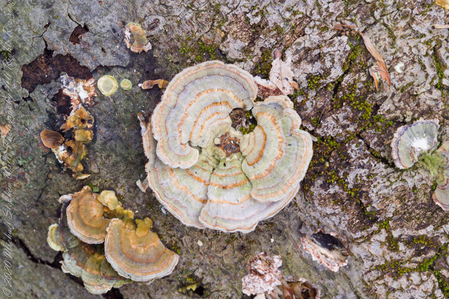
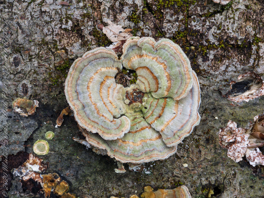
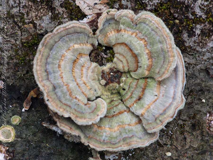
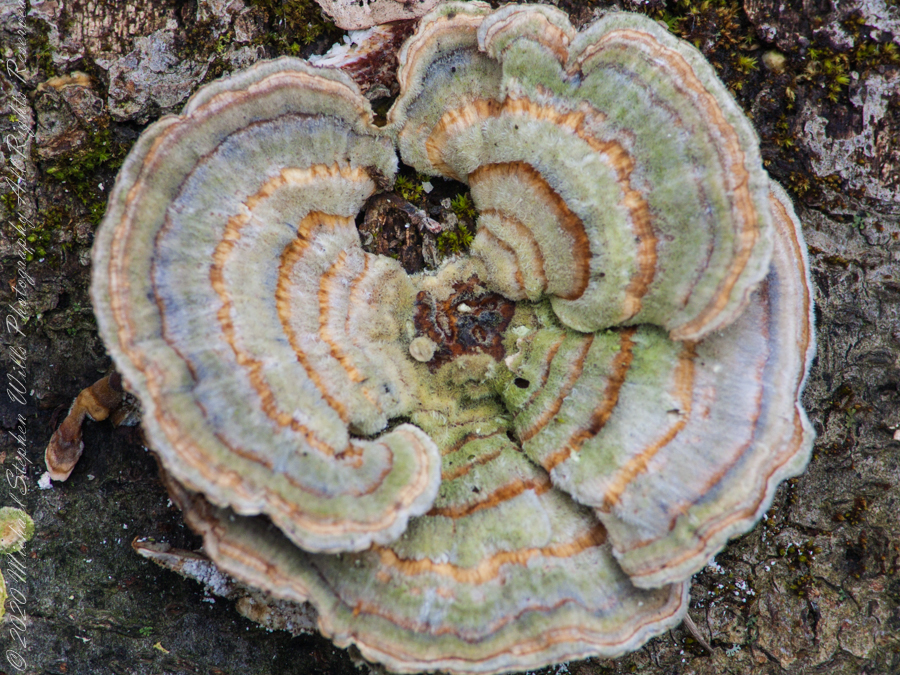
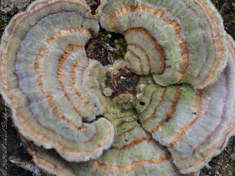
Trametes versicolor – also known as Coriolus versicolor and Polyporus versicolor – is a common polypore mushroom found throughout the world.
Meaning ‘of several colors’, versicolor reliably describes this fungus that displays a variety of colors. For example, because its shape and multiple colors are similar to those of a wild turkey, T. versicolor is commonly called turkey tail.
Found on a rotting Hemlock stump, Fillmore Glen State Park Moravia, Cayuga County, New York.
Kodak DSC Pro SLR/c with a Canon EF 100 mm f/2.8 Macro USM lens stabilized on a Manfrotto 468MG tripod with Hydrostatic Ball Head
Polypores are a group of fungi that form large fruiting bodies with pores or tubes on the underside (see Delimitation for exceptions). They are a morphological group of basidiomycetes-like gilled mushrooms and hydnoid fungi, and not all polypores are closely related to each other.
Kodak DSC Pro SLR/c with a Canon EF 100 mm f/2.8 Macro USM lens stabilized on a Manfrotto 468MG tripod with Hydrostatic Ball Head
Polypores are also called bracket fungi or shelf fungi, and they characteristically produce woody, shelf- or bracket-shaped or occasionally circular fruiting bodies that are called conks.
Sony alpha 700, Sony Lens DT 18-200mm F3.5-6.3 stabilized on a Manfrotto 468MG tripod with Hydrostatic Ball Head
Most polypores inhabit tree trunks or branches consuming the wood, but some soil-inhabiting species form mycorrhiza with trees. Polypores and the related corticioid fungi are the most important agents of wood decay, playing a very significant role in nutrient cycling and aiding carbon dioxide absorption by forest ecosystems.
Sony DSC F828 stabilized on a Manfrotto 468MG tripod with Hydrostatic Ball Head
Sony DSC F828 stabilized on a Manfrotto 468MG tripod with Hydrostatic Ball Head
Sony DSC F828 stabilized on a Manfrotto 468MG tripod with Hydrostatic Ball Head
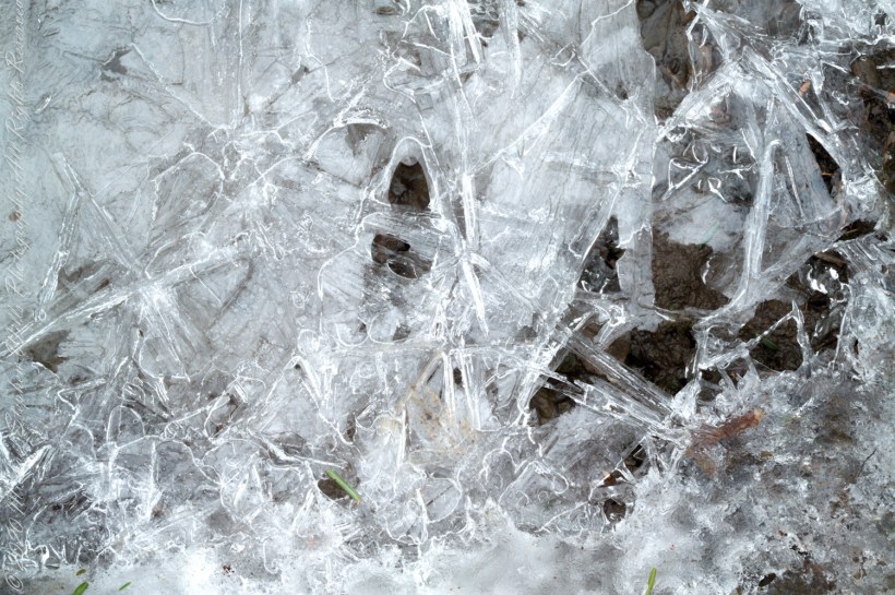
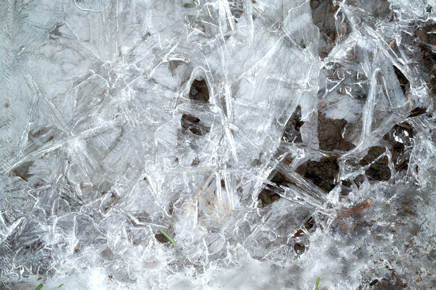
Surface of ice formed over a flowing creek. One is a HDR of three exposures, the other is a single exposure. Yes, that is dirt you see under the ice. How did that happen?
Readers: Can you tell which is the HDR? Please answer with a comment. Thank You
All are macros from a Kodak DSC Pro SLR/c with a Canon EF 100 mm f/2.8 Macro USM lens stabilized on a Manfrotto 468MG tripod with Hydrostatic Ball Head
Fillmore Glen State Park, Moravia, Cayuga County, New York.
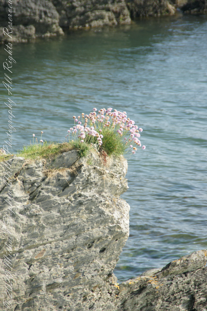
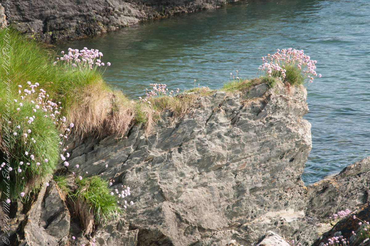
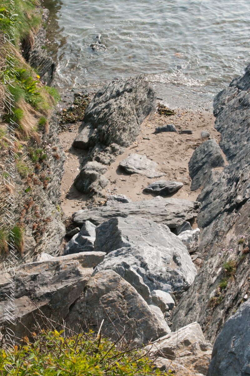
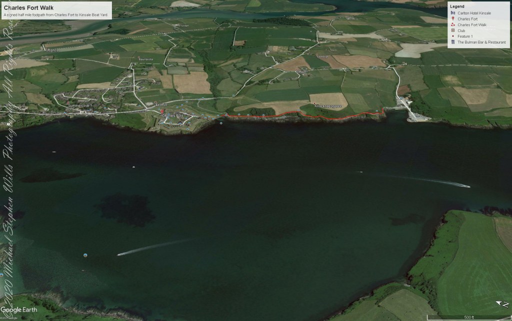
We continued down the half mile “Sallyport” footpath, marked in red on the Google Earth view provided at the end of this post, along shoreline cliffs to find these croppings of Sea Pink on jagged rocks.
Oddly, the jags being perfect places for Sea Pink to perch. Scientific name, Armeria maritima, and also known by Thrift or Sea Thrift, a reason these evergreen perennials are found on the obverse of the British Three Pence coin issued 1937 – 1952. Thrifty can mean to buy a lot for a little money — three pence is very little money.
Click any pic for a larger view, in a new tab, or a slide show. When using WordPress Reader, you need to open the post first.
Another sign informing hikers of the view.
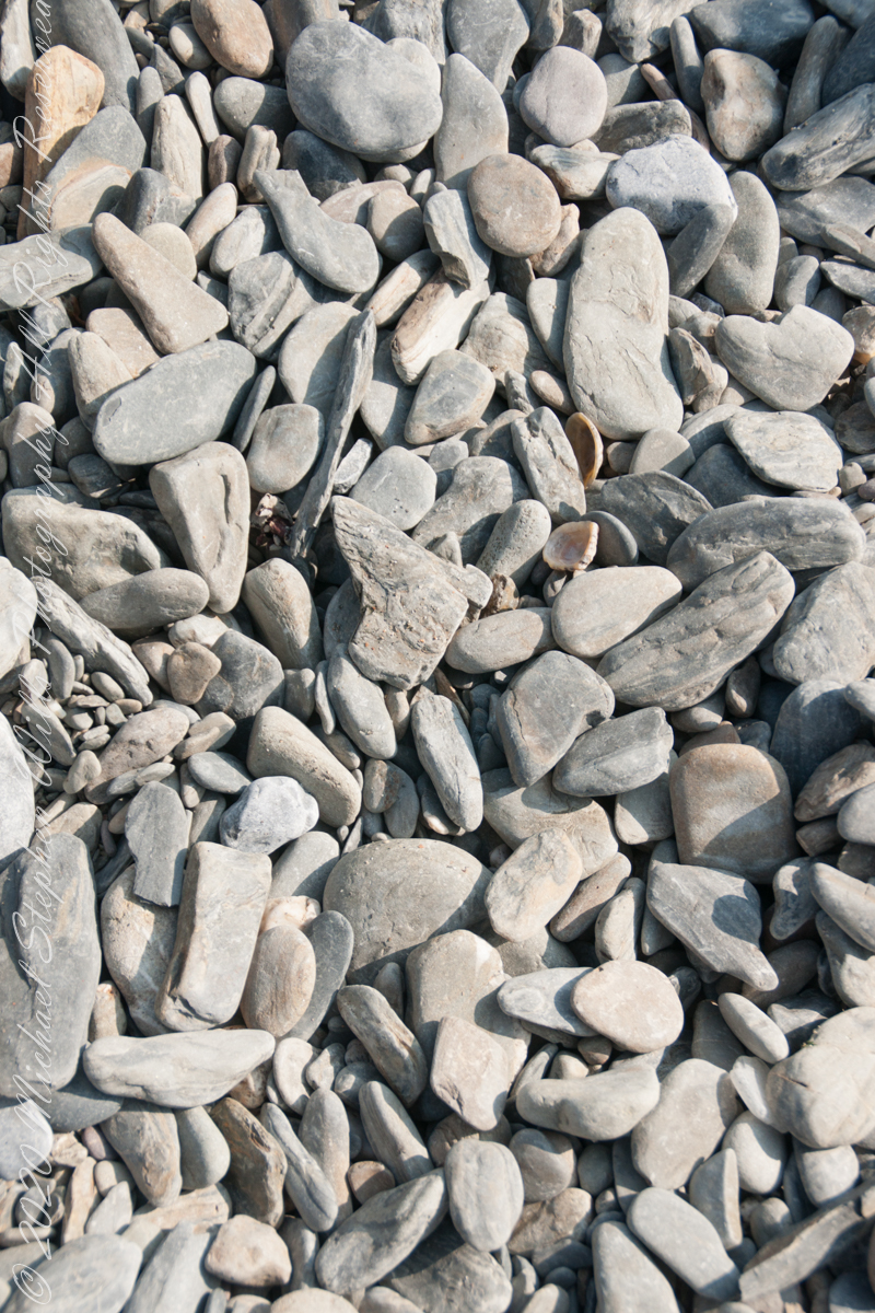
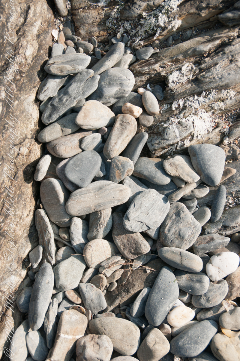
DeclivitySea SmoothedSmoothed over time by wave actionA half mile footpath, marked in red, leads from Charles fort along the shoreline cliffs, surmounted by working farmland.
Reference
“Armeria maritima” – wikipedia
Copyright 2023 Michael Stephen Wills All Rights Reserved
A half mile footpath, marked in red on the following Google Earth view, leads from the Charles fort sallyport, along the shoreline cliffs, surmounted by working farmland and looks toward the Celtic Sea.
To “sally” is to suddenly charge out from a besieged place against the enemy. The word is also used as a noun. It can also be used to describe our walk, as a sally to an unusual place.
The town above the walk is named Sallyport
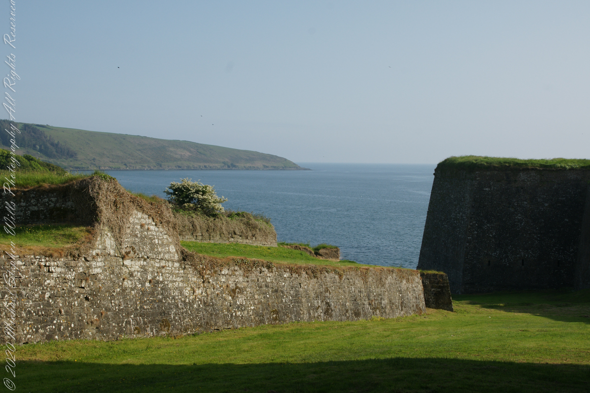
Here is a view of the Celtic Sea from the Sallyport
From Wikipedia: “The Celtic Sea receives its name from the Celtic heritage of the bounding lands to the north and east. The name was first proposed by E. W. L. Holt at a 1921 meeting in Dublin of fisheries experts from Great Britain, France, and Ireland. The northern portion of this sea was considered as part of Saint George’s Channel and the southern portion as an undifferentiated part of the “Southwest Approaches” to Great Britain. The desire for a common name came to be felt because of the common marine biology, geology and hydrology of the area. It was adopted in France before being common in the English-speaking countries; in 1957 Édouard Le Danois wrote, “the name Celtic Sea is hardly known even to oceanographers.”[3] It was adopted by marine biologists and oceanographers, and later by petroleum exploration firms. It is named in a 1963 British atlas.. A 1972 article states ‘what British maps call the Western Approaches, and what the oil industry calls the Celtic Sea […] certainly the residents on the western coast [of Great Britain] don’t refer to it as such.'”
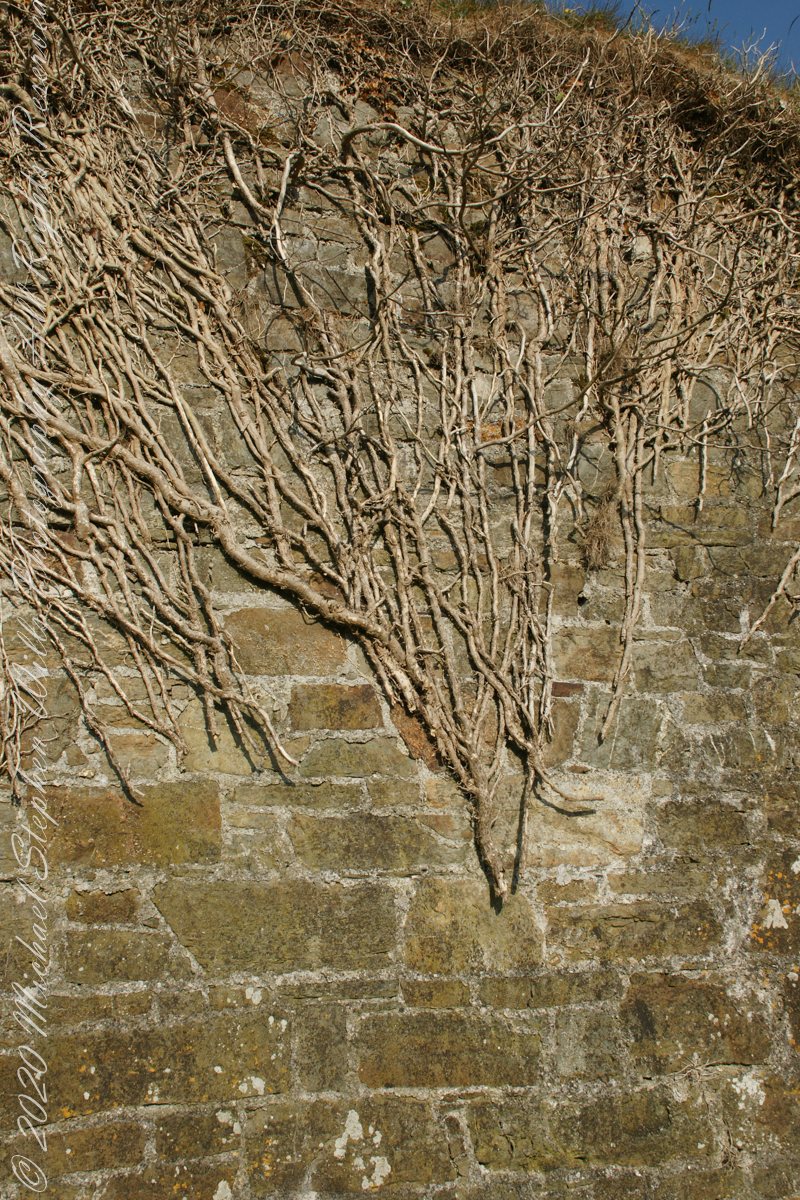
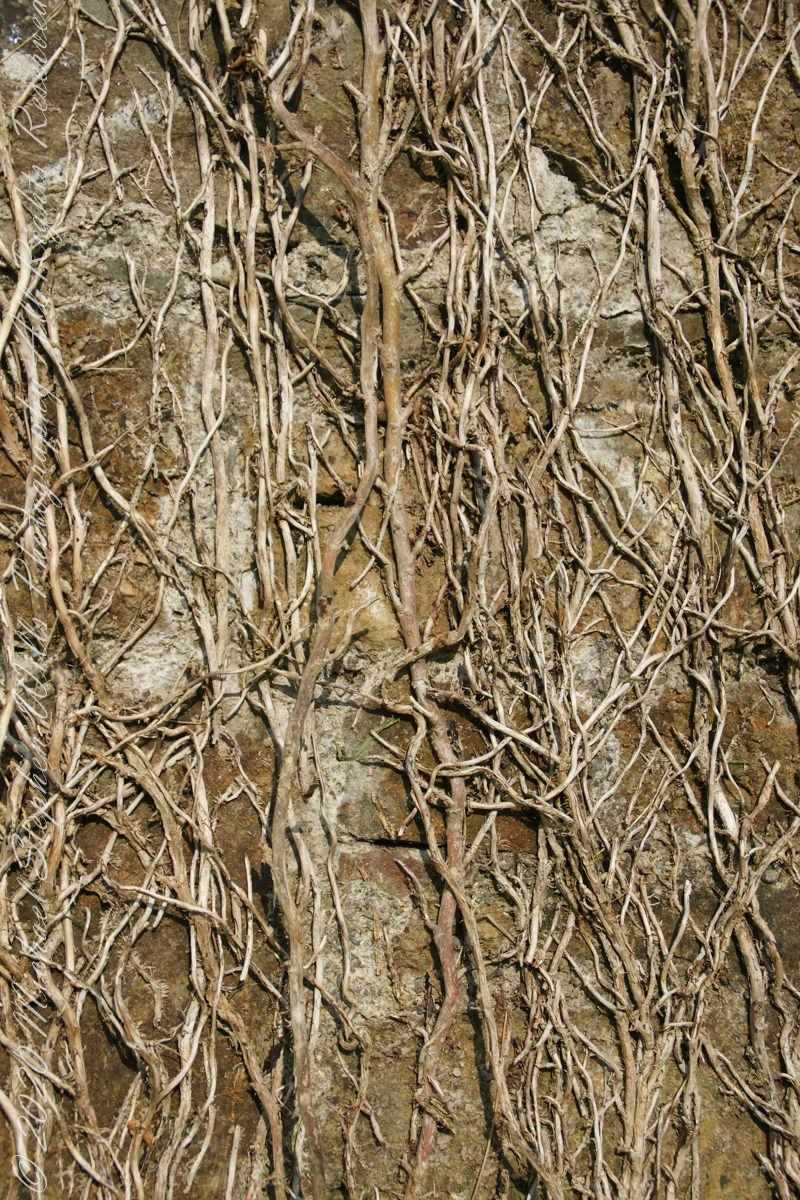
Views of the wall from previous photograph. The vines were separated from roots to preserve the walls, leaving interesting patterns.
The distant land to the right, beyond the walls, is the Old Head of Kinsale.
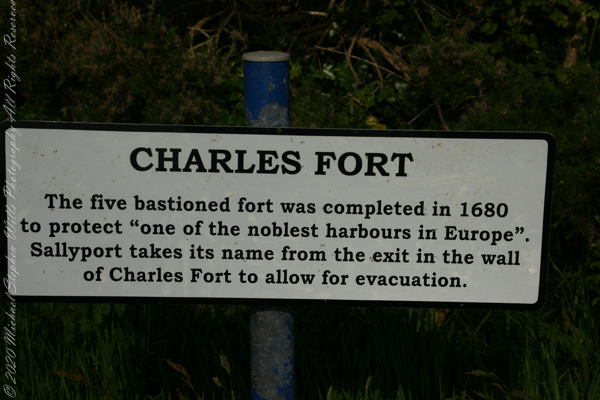
Informational placards along the walk give background to the views enjoyed by hikers.
Here is the above view.
SONY DSC
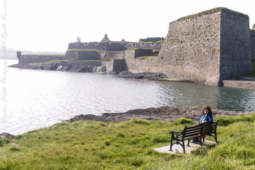
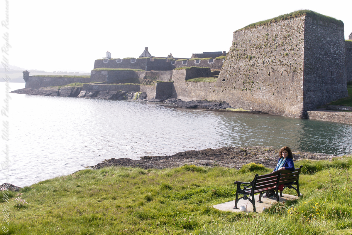
Pam, at start of our walk. Poking above the walls is the Charles Fort Lighthouse. “This lighthouse is a directional light marking the way to safe anchorage close to Kinsale. In 1665 King Charles II granted letters patent to Sir Robert Reading to erect six lighthouses on the coast of Ireland, including one at Barry Oge’s castle, near Kinsale later to become Charles Fort. The original structure would have had a coal fire on its roof. In 1810 powers given to the Commissioners for Barracks and others between 1767 and 1806 were all vested in the Corporation for Preserving and Improving the Port of Dublin or the Ballast Board. This board took over the general lighting and marking of the coast when fourteen lighthouses were transferred to it including that at Charles Fort. This lighthouse, built in 1929, is one of the more recent to be found along the coast, with most dating to the nineteenth century. A new mains powered light at Charles Fort Lighthouse was put into operation on the 14 April 2004 marking the end of a long era of gas and oil powered lights in Ireland.” Quote is from the link provided in references.
May 30, 2014 outside of Charles Fort, Kinsale, County Cork, Republic of Ireland