Wilderness Textures

Abstract Beauty of the Superstition Wilderness of Arizona

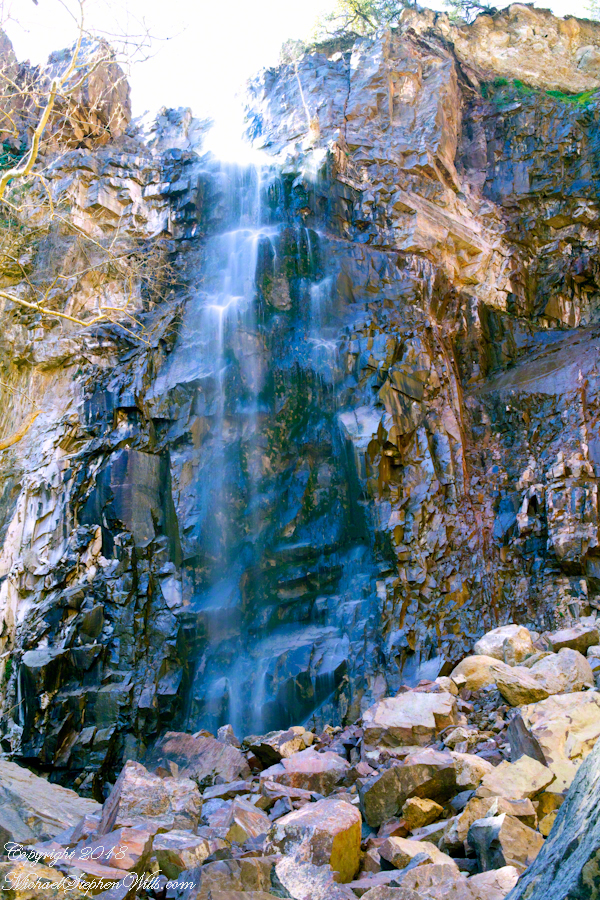
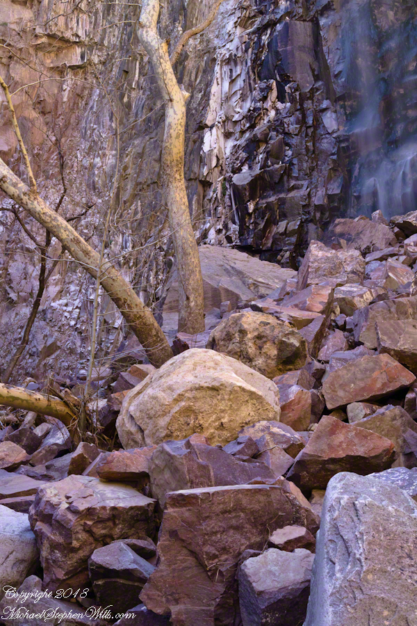
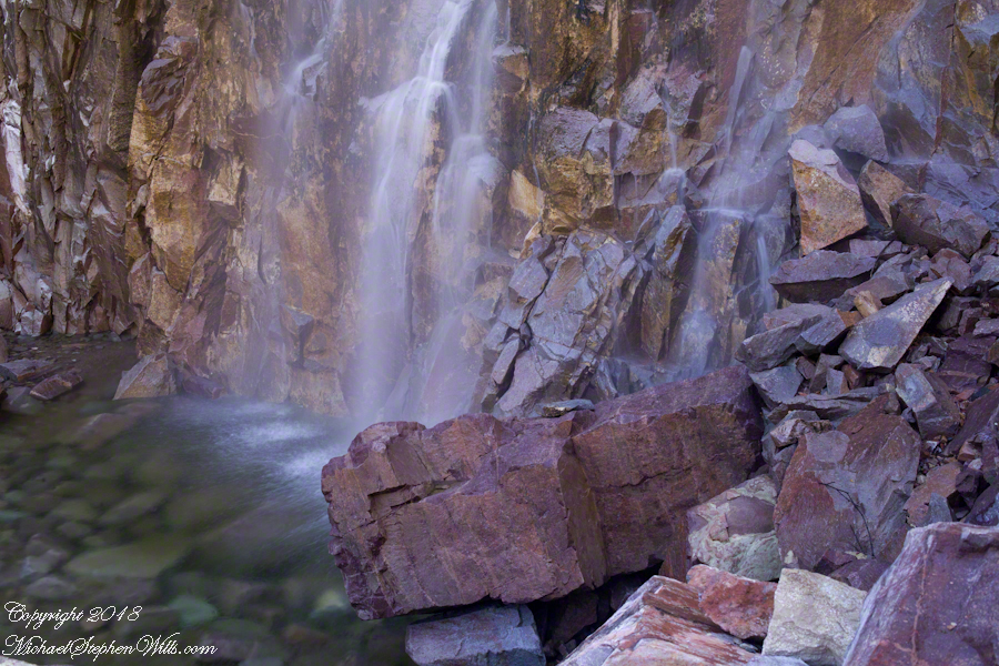
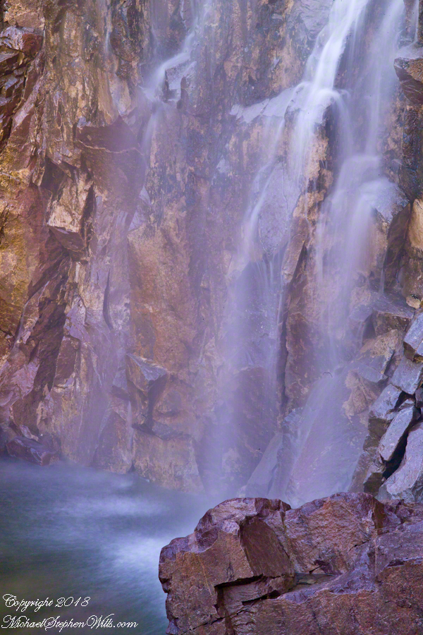
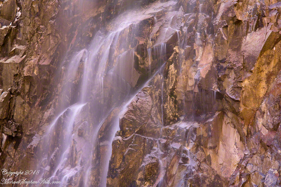
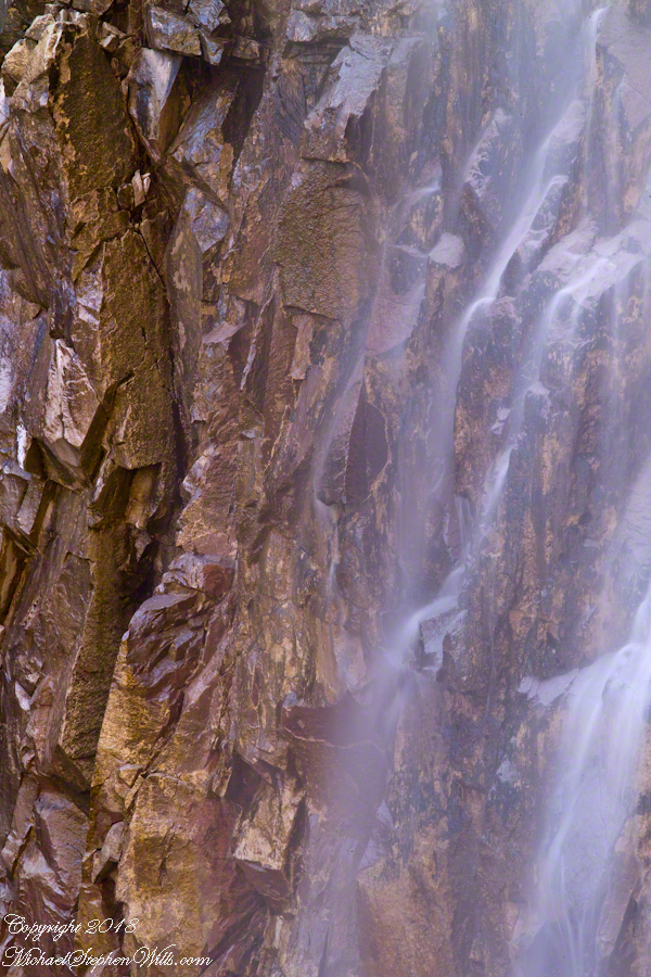
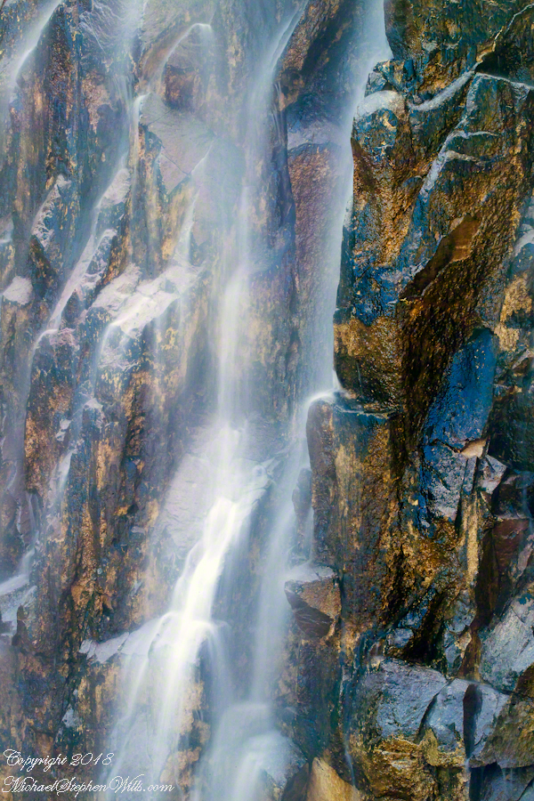
These abstracts are some of my photographic output from four days and nights spent alone in the remote eastern Superstition Wilderness.  For the first three days I met not a soul, all these images were captured on a single afternoon spent in the canyon below Reavis Falls, a jumble of landslides, flood debris and boulders.  There is no trail.  The few people who enter the canyon must negotiate around boulders, crossing Reavis Creek many times.

Reavis Creek Water and Light – CLICK ME for more abstract photography.

My backpack kit included a full sized Manfrotto studio tripod with hydrostatic ball head.  The benefits more than outweighed the effort (I was a lot younger in 2008) when the Canon EF 100mm (macro) lens is mounted on a  Kodak dSLR body, allowing me to take crisp shots.  The tripod legs can be adjusted to precise positions for stability.

Reavis Creek Water and Light – CLICK ME for more abstract photography.

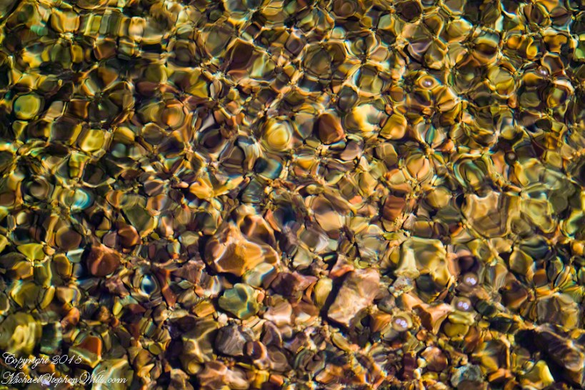
I can feel the bright afternoon desert spring sunshine in this photos.  It was after the spring floods, the flow of Reavis Creek and ample still but slow.  Gathering in pools over the rough stones of the creek bed, the water absolutely clear.

Reavis Creek Water and Light – CLICK ME for more abstract photography.

I held the shot over many minutes, capturing ever changing diffraction patterns.

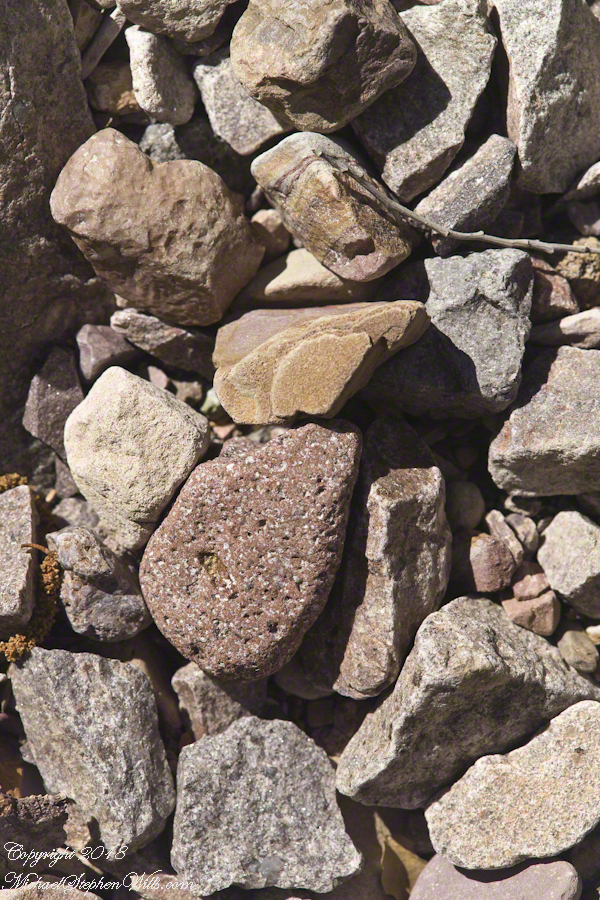
We see in all these photos, not a homogenous blend of stones from a shared geology.  Reavis Creek washes over diverse geologies: volcanic, ancient igneous extrusions, sedimentary and metamorphic are jumbled together.

Reavis Creek Water and Light – CLICK ME for more abstract photography.

This is a series of photographs of smooth, white igneous boulders with shadows of  still leafless sycamore and cottonwood trees.

Reavis Creek Water and Light – CLICK ME for more abstract photography.

Graceful shadows

Reavis Creek Water and Light – CLICK ME for more abstract photography.

Strong, demonstrative shadows.

Reavis Creek Water and Light – CLICK ME for more abstract photography.

A leaning cairn, not a trail marker….

Reavis Creek Water and Light – CLICK ME for more abstract photography.

A 15 foot high jumble of stones piled at the bottom of Reavis Falls, carried over by the floods.

Reavis Creek Water and Light – CLICK ME for more abstract photography.

A metamorphic conglomerate stone….

Reavis Creek Water and Light – CLICK ME for more abstract photography.

Another metamorphic conglomerate.

Reavis Creek Water and Light – CLICK ME for more abstract photography.

Please browse my reasonably priced stock photography. License a photograph, download and use it for your website or blog. Click this link to browse all my Getty IStock Photography offerings.

Or click this link or any photograph or this link to select a print with custom framing from my “Textures” Fine Art Gallery.

Here’s another of my Arizona wilderness adventures, “Racing the Sun.”
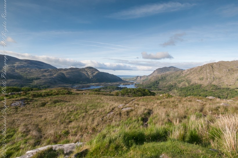
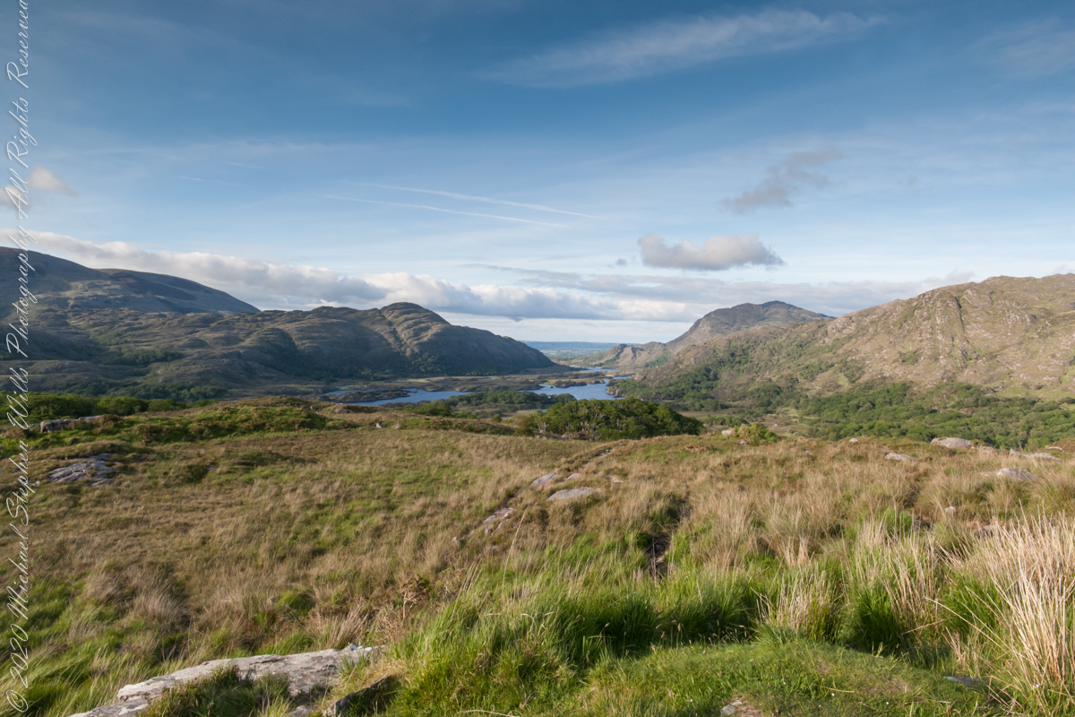
Ladies View 3

landscape view

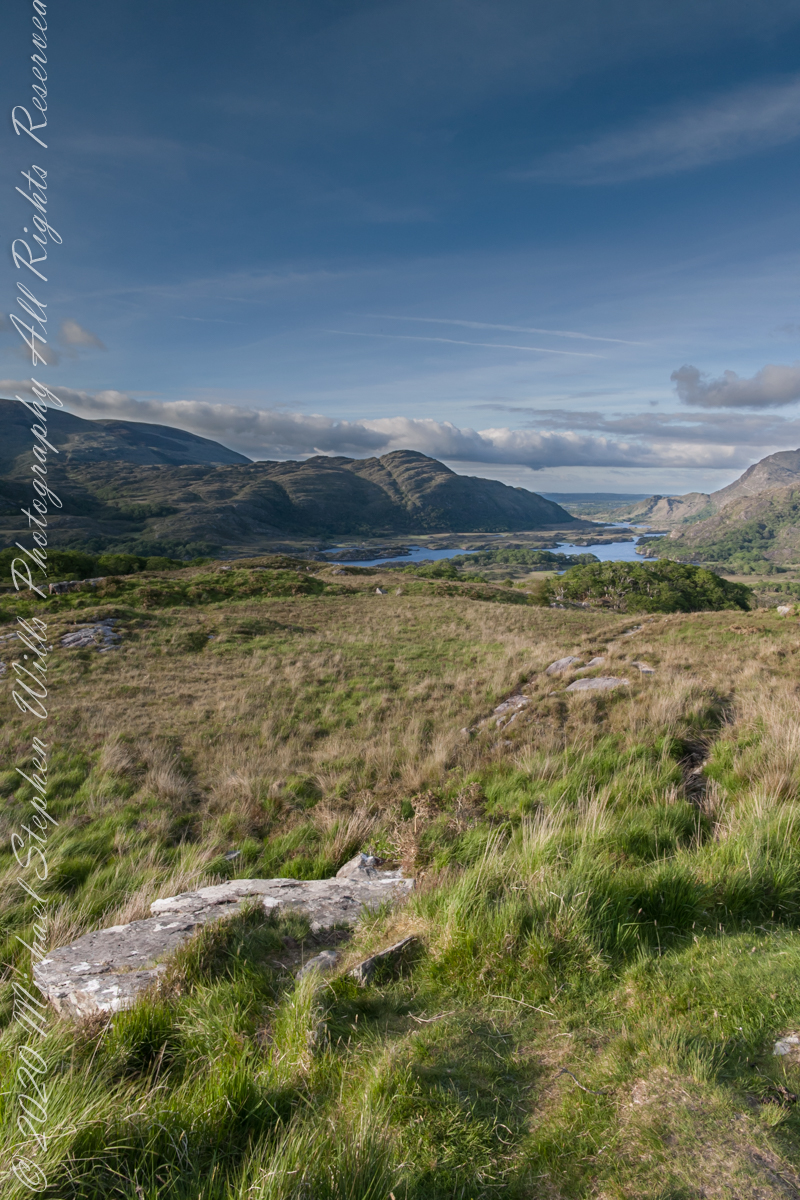
Here we are, on the road from Kenmare to Killarney, N71, part of the Ring of Kerry around the Iveragh Peninsula. The view was celebrated by Queen Victoria’s Ladies-in-Waiting during an 1861 tour of Ireland. Here we see Muckross Lake and the Owengarriff River connecting the lakes.

Click pic for larger view in a new browser tab. If you are in WordPress Reader, open the post to use this feature.

Copyright 2021 Michael Stephen Wills All Rights Reserved

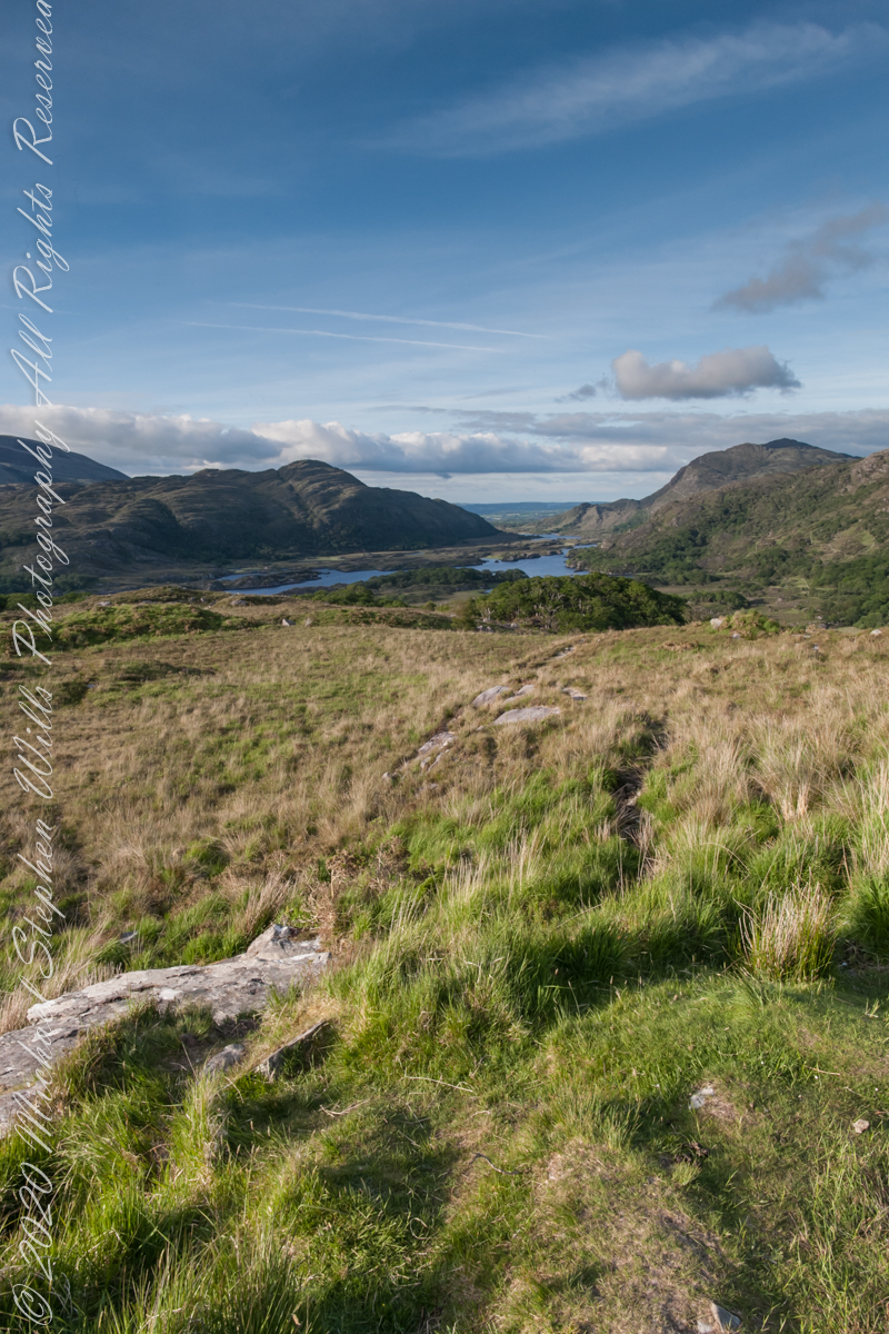
Ladies View 2

Derrycunihy Townland, County Kerry, Republic of Ireland

Here we are, on the road from Kenmare to Killarney, N71, part of the Ring of Kerry around the Iveragh Peninsula. The view was celebrated by Queen Victoria’s Ladies-in-Waiting during an 1861 tour of Ireland

Click pic for larger view in a new browser tab. If you are in WordPress Reader, open the post to use this feature.

Copyright 2021 Michael Stephen Wills All Rights Reserved

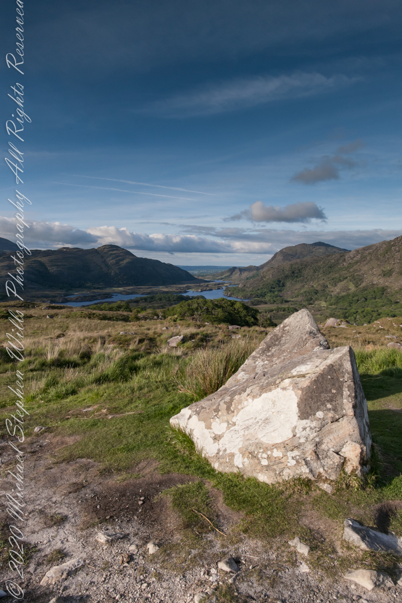
Ladies View 1

Derrycunihy Townland, County Kerry, Republic of Ireland

Here we are, on the road from Kenmare to Killarney, N71, part of the Ring of Kerry around the Iveragh Peninsula. The view was celebrated by Queen Victoria’s Ladies-in-Waiting during an 1861 tour of Ireland

Click pic for larger view in a new browser tab. If you are in WordPress Reader, open the post to use this feature.

Copyright 2021 Michael Stephen Wills All Rights Reserved

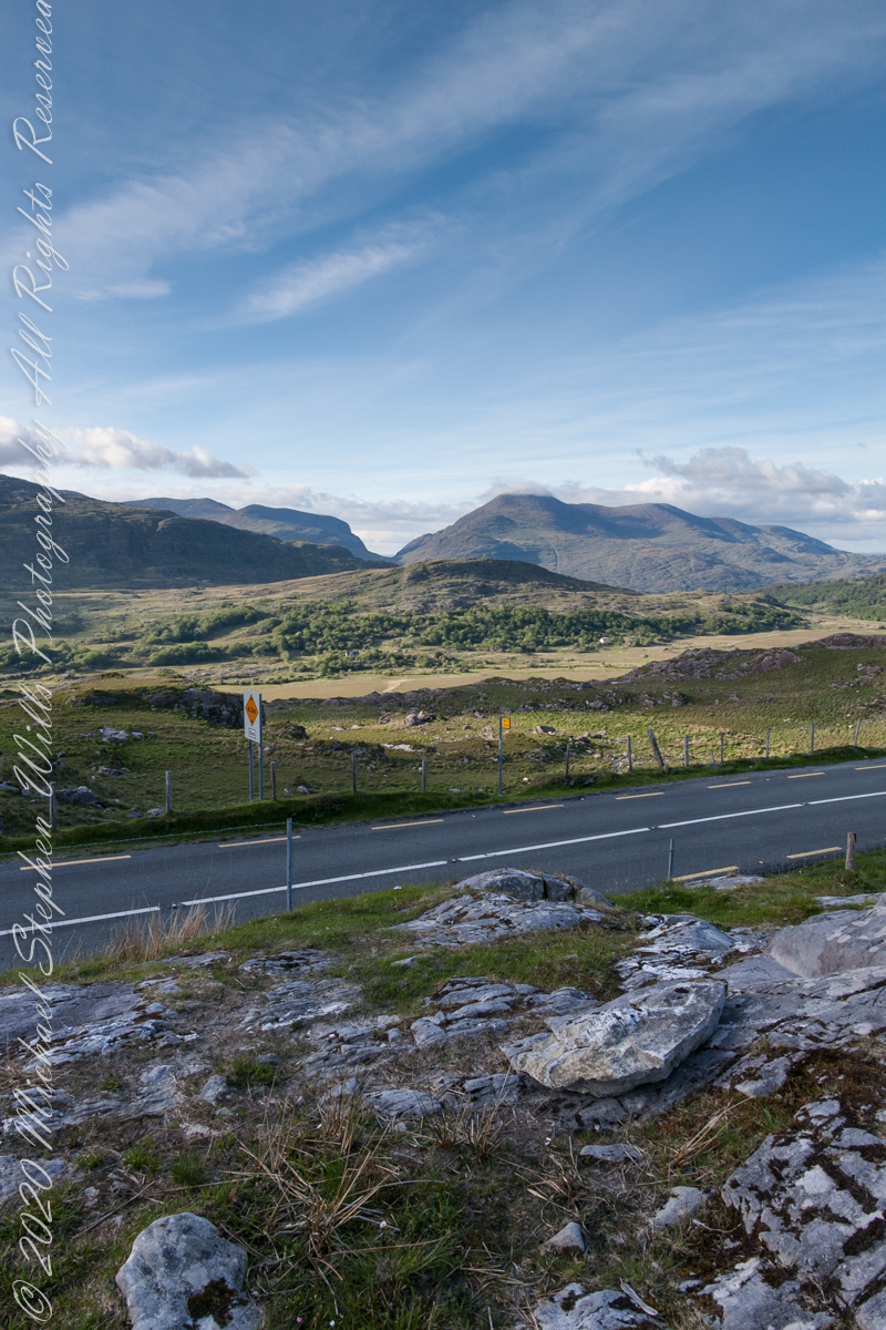
Eirk Townland View Four

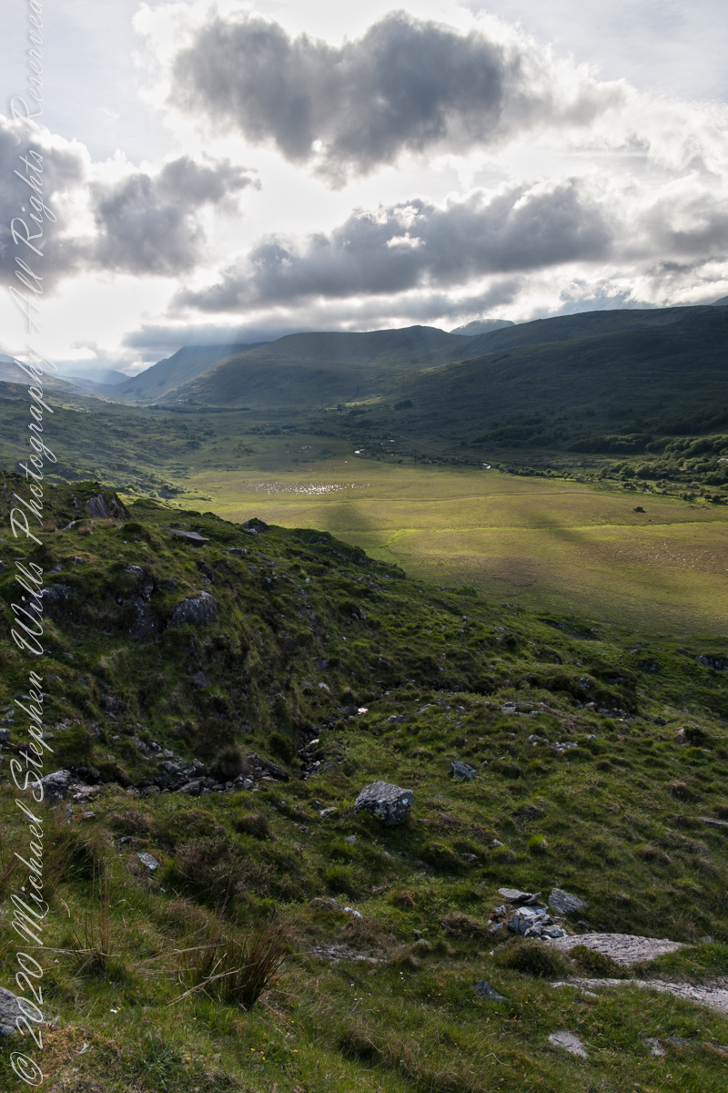
Looking toward Lough Gummeenduff

We are near Molls Gap on the Ring of Kerry. At our feet is Eric townland, there’s an epynmous Bog Nature Reserve down there.g of Kerry. At our feet is Eric townland, there’s an eponymous Bog Nature Reserve down there.

Townlands Derrylough, Crossderry and distant Bunbinnia take up most of the view. Those familiar with post-glacial topography will recognize the glacially oversteepened slopes of the distant through valley. The valley floor is a glacial outwash plain.

Click pic for larger view in a new browser tab. If you are in WordPress Reader, open the post to use this feature.

Copyright 2021 Michael Stephen Wills All Rights Reserved

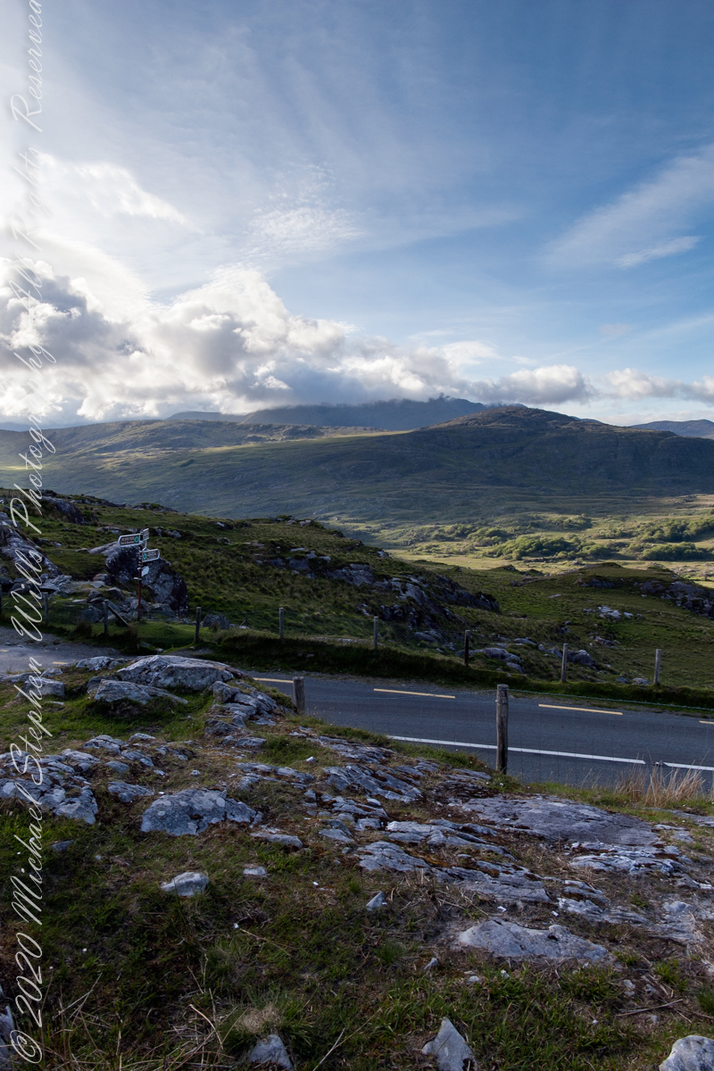
Eirk Townland View Three

Across the far mountains is Black Valley

Here we are still standing in Moll’s Gap, looking a bit farther northwest into Black Valley than for View Two. Across the far mountains is Black Valley, a place so remote it was among the last, on the island itself (“mainland”) to be electrified or connected to telephone networks. Today Black Valley is a southerly route to the Gap of Dunloe well known to certain hikers and cyclists.

I am struggling here to deal with the vast range of light intensity from the glow of a westering sun, to the shadows cast by surrounding heights.

Beneath our feet are the slopes of Derrygarriff (in Irish Doire Gharbh) of the Mangerton range. Across the way is Crossderry peak of the Dunkerron mountains, the townland is named for the peak (or vice versa).

Click pic for larger view in a new browser tab. If you are in WordPress Reader, open the post to use this feature.

Here is a second try, a bit more successful as the clouds opened to shine on distant land. I did work in Photoshop to manage the brightest clouds.

Here are all three versions of the Black Valley view from Moll’s Gap. Enjoy

Copyright 2021 Michael Stephen Wills All Rights Reserved

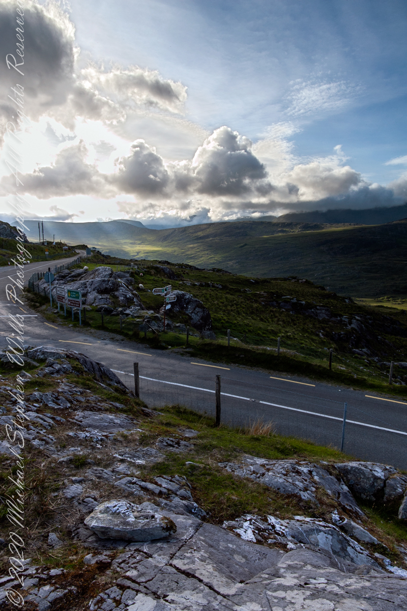
Eirk Townland View Two

Black Valley

Here we are standing in Moll’s Gap, looking northwest into Black Valley, a place so remote it was among the last, on the island itself (“mainland”) to be electrified or connected to telephone networks.

Beneath our feet are the slopes of Derrygarriff (in Irish Doire Gharbh) of the Mangerton range. Across the way is Crossderry peak of the Dunkerron mountains, the townland is named for the peak. Black Valley, now a southerly route to the Gap of Dunloe well known to certain hikers and cyclists, is beyond the far mountains.

Click pic for larger view in a new browser tab. If you are in WordPress Reader, open the post to use this feature.

Copyright 2021 Michael Stephen Wills All Rights Reserved

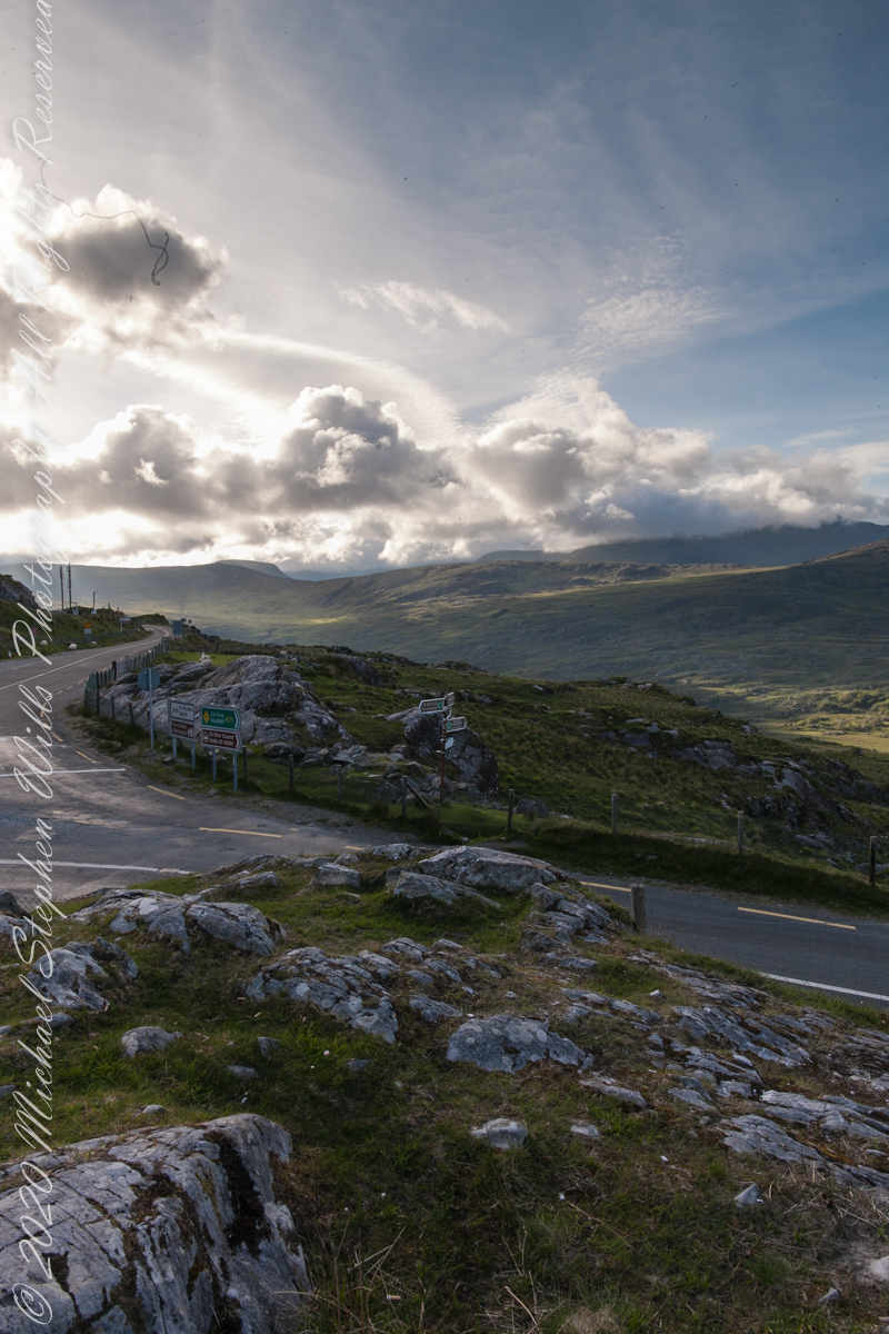
Eirk Townland View One

Here we are in Moll’s Gap, also known in the Irish language as Céim an Daimh (meaning, Gap of the Ox)

Here we are, on the road from Kenmare to Killarney, N71, part of the Ring of Kerry around the Iveragh Peninsula. The spot is the mountain pass Moll’s Gap, also known in the Irish language as Céim an Daimh (meaning, Gap of the Ox). In the Nineteenth Century a woman named Moll Kissane ran a public house here, operating illegally.

The mountain of this townland, named Eirk (also known as Adhard) , is composed of a fine grained sandstone found in a wide swath from North America’s northeastern coast, Greenland, Ireland, Great Britain — lands formerly part of the same ancient continent.

Click pic for larger view in a new browser tab. If you are in WordPress Reader, open the post to use this feature.

Copyright 2021 Michael Stephen Wills All Rights Reserved

Headed Up Cottage Road, Inishmore

View from a horse trap on the Aran Islands, Galway Bay, Ireland

Enjoying travel on a horse trap, a type of carriage, on Inishmore (Inis Mór), the largest Aran Island in Galway Bay we headed up Cottage Road from Kilronan, the main island settlement.  It was there we embarked from the ferry, hired the driver, his horse drawn trap.  Our destination an iron age fort, Dun Aengus (Dún Aonghasa, the Irish language name) and the sights along the way. 

Headed up Cottage Road, I captured this view of dry stone walls and homes against the May sky over the shoulder of our horse.

Click the link for my Getty IStock photography of the Aran Islands
Headed up Cottage Road

Copyright 2019 All Rights Reserved Michael Stephen Wills

Copyright 2021 Michael Stephen Wills All Rights Reserved

Horse Trap on Inishmore

Travel at its best

Enjoying travel on a horse trap, a type of carriage, on Inishmore (Inis Mór), the largest Aran Island in Galway Bay.

Click the link for my Getty IStock photography of the Aran Islands
View from Horse Drawn Trap on Cottage Road headed into Kilronan

Copyright 2019 All Rights Reserved Michael Stephen Wills