Historical Wonders of Ashford Castle and Its Natural Surroundings

At Ashford Castle, swans glide on the Cong River’s glassy waters, weaving together myth, history, and cinema in a timeless reflection of Ireland’s enduring spirit.

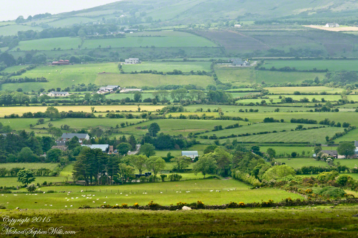
Headed south from Cong Village, past the venerable Cong Abbey then Saint Mary’s Church of Ireland, the road bends into the Ashford Castle estate. Time seems to shift here. The stonework of the abbey lingers in memory, only to give way to manicured parkland, ancient trees, and the shimmer of water. The road itself, aptly named Ashford Castle, carries the traveler to a place where history, nature, and imagination meet.

I do not recall passing a guard box on my first visit, though one now stands firmly on the roadside, manned and proper, as though the estate were never meant to be entered without ceremony. In truth, Ashford Castle has always carried the air of a threshold—between village and wild, past and present, myth and reality.

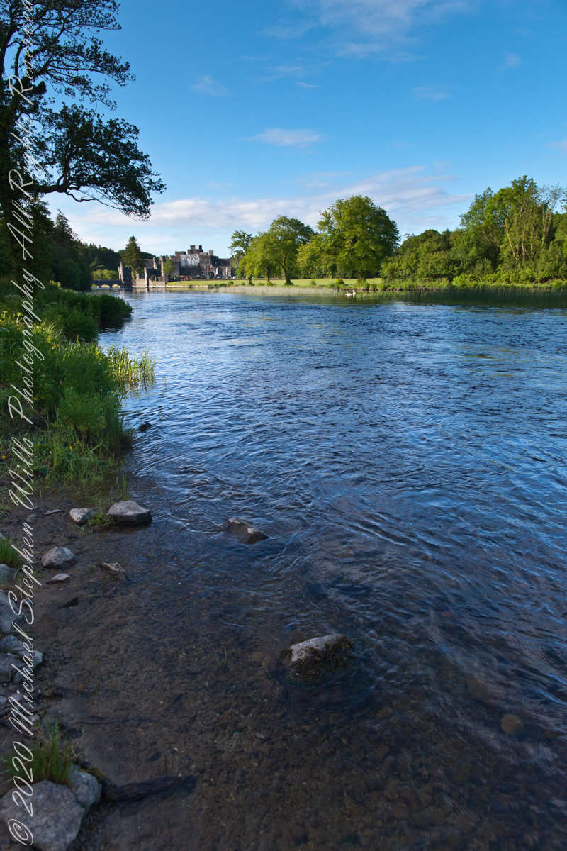
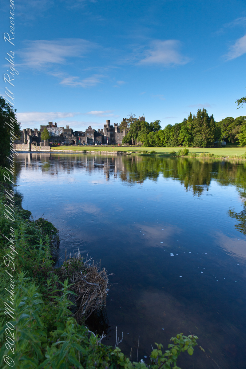
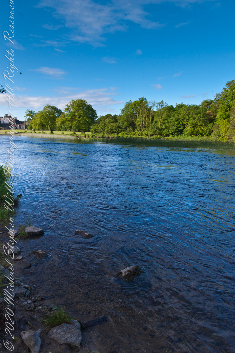
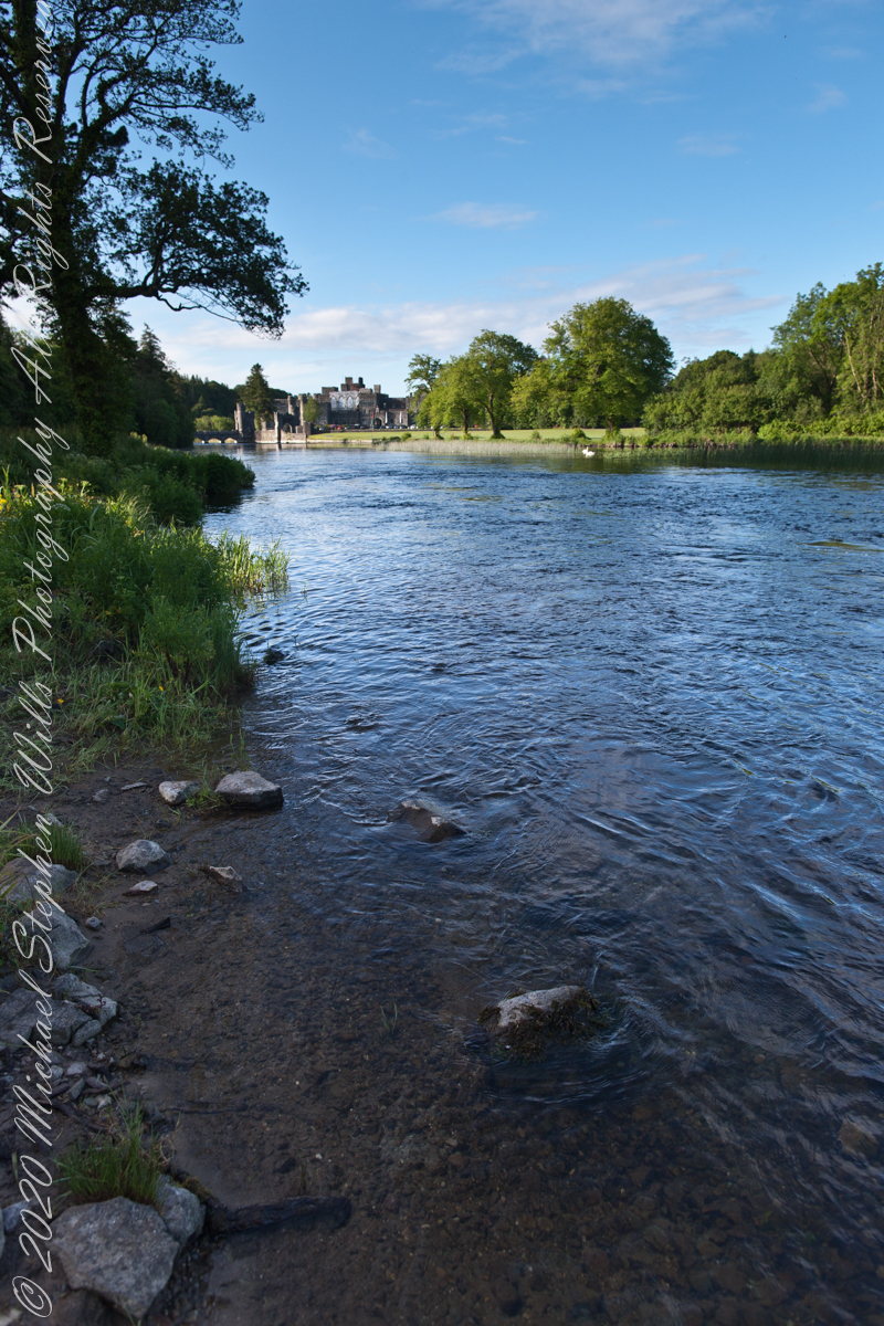
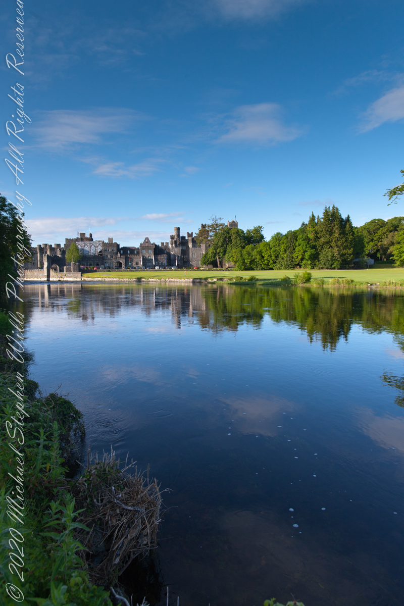
Soon the road brings one to the banks of the Cong River. Here the water widens, flowing calm and sure, and across it rises the battlemented silhouette of Ashford Castle itself. Its towers, turrets, and stony walls seem to grow from the riverbank like something inevitable, a fortress transformed into elegance. The castle’s mirrored reflection on the water doubles the grandeur, as though the real and imagined castle exist side by side.

It is no wonder filmmakers found inspiration here. Scenes from the classic 1952 film The Quiet Man—the tale of Sean Thornton, played by John Wayne, and the fiery Mary Kate Danaher, embodied by Maureen O’Hara—were shot on the far bank of this very river. To watch them walking by these waters is to see Ashford Castle woven into Hollywood’s Irish dreamscape, a backdrop both romantic and enduring.

Yet long before cinema, the river was already a stage. The Cong River is a natural marvel. It emerges from the same Carboniferous limestone that shapes the Burren of County Clare—an austere landscape of limestone pavements etched with fossils and caves, where rare alpine and Mediterranean plants thrive among ancient tombs. Through fissures in this ancient bedrock, the waters of Lough Mask find their way underground before rising again at Cong. This subterranean journey, through stone filters laid down some 350 million years ago, leaves the water clarified, luminous, and cold. By the time it slides past Ashford Castle, it has the purity of glass.

It is in this clarity while walking the opposite bank on a different morning I found a parent swan and its cygnet feeding. The adult glided, immaculate, its long neck bowed as drops of river fell from its beak. At its side, the cygnet paddled with earnest strokes, gray down still clinging, a fragile shadow of what it would one day become. Together they traced a quiet path across the water, ripples fanning behind them.

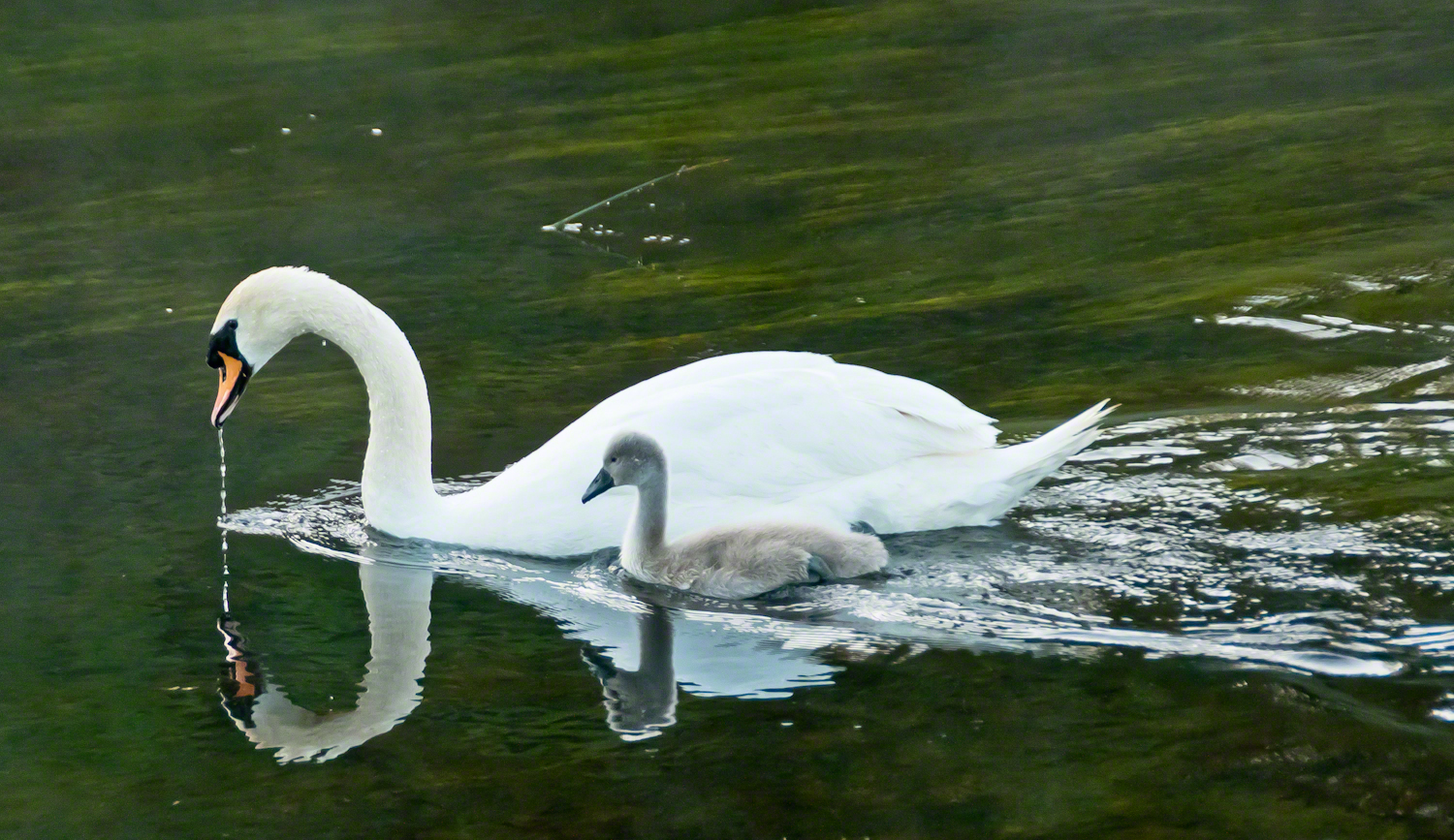
Few images so perfectly match their setting: a medieval castle, guardian of centuries, reflected in the same waters where these swans carried on their timeless rhythm of nurture and growth. It was as if the river itself composed the scene—a blending of stone, water, bird, and sky that belonged nowhere else but here.

The swan has long been a symbol in Irish lore. The Children of Lir, cursed to live as swans for nine hundred years, are among the most haunting figures of Celtic mythology. To see the white bird with its offspring before Ashford Castle was to glimpse that myth breathing still, alive on the Cong River.

Photographers know the difficulty of capturing water and stone without losing the life between them. On that morning, however, the river gave freely—its surface alternately smooth as glass and dappled with breeze. Stones at the water’s edge appeared like stepping-stones into history. Each frame revealed another face of the estate: the wide reach of the Cong, the castle framed by trees, the play of cloud shadows across the current.

The castle itself, though reshaped as a luxury retreat, still speaks of older times. Founded in the 13th century by the Anglo-Normans, Ashford passed through centuries of conquest and change before becoming, in the 19th century, a romantic Victorian pile. Today its battlements remain picturesque rather than defensive, but the sense of continuity—of lives unfolding along these banks—has not faded.

Standing there, camera in hand, I was struck by the layered meaning of this place. The Cong River flows from unseen caverns, purified by limestone older than memory. It nourishes swans, reeds, and trout alike. It reflects both a castle and a sky. Along its opposite bank, legends of cinema and Celtic lore alike find footing.

As the swan and cygnet drifted slowly downstream, I thought of them as part of the same enduring thread. Parent and child mirrored castle and village, past and future, permanence and change. The ripples they left widened until they touched both banks, an unbroken gesture across centuries.

Click this link to read another Ireland story “The Cloigtheach of Glendalough.”

Click this link to read another Ireland story “Killeany Bouy.”
Enter your email to receive notification of future postings. I will not sell or share your email address.

Above Muirthemne Plain

Romance of Ruins

This series of posts started with “Proleek, Grandfather McCardle’s home” where we explored the site of great grandfather James McCardle’s Proleek farm.  A kilometer from there, at Proleek Dolmen, the ancient portal stones line up to face the plain rising to Slieve Gullion, a name for the mountain taken from the Irish,  Sliabh gCuillinn, meaning “mountain of the steep slope” or Sliabh Cuilinn, “Culann’s mountain.”

There is an connection between Proleek and Slieve Gullion.  Cycles of Irish Myth place a boy named Sétanta living on Muirthemne Plain, of which what we call Proleek Townland was a part.  One day, the king Conchobar was passing his kingdom, Muirthemne, on the way to a feast on the slopes of Slieve Gullion hosted by the blacksmith Culann when he stopped to watch boys playing hurling, Sétanta among them (it is ironic the Proleek Dolmen is surrounded by a golf course in modern times).

Impressed by the Sétanta’s skill, the king invites him to the feast.  Having a game to finish Sétanta promises to follow.  As evening falls the boy approaches the smith’s house to find himself attacked by a huge, aggressive dog.  Acting in the moment, Sétanta dispatches the dog with the hurley and ball he had at hand, driving the ball down the hound’s throat.  (In another version he smashes the hound against a standing stone.)

Feeling Culann mourn the loss of his beloved animal, Sétanta promises to raise and train a guard dog equal to the one he slew.  Until that time he also pledged to guard Culann’s home.  From that time Sétanta was known as “the hound of Cullann”, Cú Chulainn in Irish.

References
Wikipedia articles “Slieve Gullion” “Cú Chulainn” and “Conaille Muirtheimne.”

A Story Risen from the Mist

The Resurrection of Táin Bó Cúailnge

We did not climb so much as ascend, with effort, the flank of Slieve Foy, a peak of the Cooley Mountains, County Louth, Ireland. The group being cousin Sean, my wife, Pam, and myself.

The ridge of Golyin Pass loomed in the mist where the path dissolved in low cloud. Sean pointed above, to the right to Barnavave, also know as Maeve’s Gap for the queen who came from the west of Ireland to take Donn Cúailnge, the Brown Bull of Cooley, by force of arms with an army behind her.

My Online Gallery– CLICK ME!!!!
A modern rendering of Donn Cúailnge. See link at the bottom of this posting for more information.
Click this link or a photograph to visit my Online Gallery

When cousin Sean named Cú Chulainn, the champion of Maeve’s opponents, the Ulstermen, he recalled a story once lost, Táin Bó Cúailnge. A hospitable siege different from Maeve’s and mist are part of the story of the recovery of this tale.

A gathering of 150 poets, 100 pupils, and attendants strained the patience and wealth of Guaire Aidne mac Colmáin, King of Connacht, when it extended to a year and four months.

Southwest View from Hags Mountain– CLICK ME!!!!
Our first and only encounter with fellow hikers. In the distance two figures appear over the next ridge, a mother and young daughter. She greeted us and challenged Sean to his knowledge of the area. Sean acquitted himself well and we continued.

On that 16th month, the king challenged the leader of his guests to the telling of a tale. Guaire demanded Seanchan Torpest, the chief poet of Connacht, to recite the whole of Táin Bó Cúailnge, known in English as the Cattle Raid of Cooley or The Táin (Cattle Raid).

Click a gallery pic for a larger view.

In this way the king was relieved of his guests: the book of the Táin was lost before their lifetimes, rumored to be abroad. Abashed at his failure, Seanchan Torpest withdrew. Fellow poets and followers trailed out from the castle.

Seanchan Torpest regrouped the host (an opened question is who then supported them) in conference to construct Táin Bó Cúailnge. It was a false hope as the gathering discovered while each poet knew a part of the whole, most of the story was lost. His honor, reputation and self-esteem in tatters the Chief Poet of Connacht, set off with Murgen, his son, and second cousin Eimena to return the Táin to Ireland.

Into mists such as those Pam, Sean and I ascended, the travelers soon were lost and separated.

Magically, Murgen finds the grave of the Uncle of Cú Chulainn in the mists, there to meet the shade of that enormous man, Fergus mac Róich is his name. In the Táin, as related in whole by Fergus to Murgen, Fergus was led by circumstances to ally with Maeve, to guide her army against the Ulstermen. As a deposed king, traitor to Ulster and Uncle to the champion Cú Chulainn, Fergus knew the tale entire.

My Online Gallery– CLICK ME!!!!
View as we approached Goliyn Pass

It was from the mists that Murgen emerged, found his father and cousin, and returned together without the book, but with possession of the substance of the Táin.

Click this link or the above photograph to visit my Online Gallery

Views of Carlingford

Visit the opening chapter of our time on the Tain Way

Visit the next posting in this Ireland series, “Farmland Southeast of Carlingford”

A thank you to Wikipedia, my information source on the resurrection of the Táin.

Copyright 2021 Michael Stephen Wills All Rights Reserved

On the Tain Way

A place of myth and wonder on foot and approachable

On Monday, June 9, 2014, cousin John Mills dropped his son, Sean Mills, myself and Pam Wills off at the foot of the western slopes of Slieve Foy on the Tain Way.  Sean, Pam and I walked the way over the mountain and into Carlingford in the footsteps of epic Irish heroes.

Our guide, Sean Mills, proposed the walk and it fell on our last full day in Ireland. Sean’s father and our host for this visit, John Mills, transported the group including my wife Pam to the starting point at the foot of Slieve Foy.

Click this link to visit my Online Gallery

On the Tain Way– CLICK ME!!!!

Yes, if there is any part of the Tain Way the the mythic Irish heroes trod it is this one over Slieve Foy mountain. The saga, in Irish “Táin Bó Cúailnge” and “The Cattle Raid of Cooley” in English, features this bull, “Donn Cuailnge” “The Brown Bull of Cooley”, here as a statue erected 2011 by the Grange and District Residents Association.

Walking the Tain Trail to Carlingford

Donn Cuailnge raged over the very slopes we walked this day. The myths themselves fill a volume and I am unable to do them justice here.

On the way, John stopped at the Old Aghameen School he attended in the late 1930’s early 1940’s 70 years before and we pass through the country soon to grace our views.

Many thanks to the Glenmore Athletic Club, the Cooley Walking Forum and land owners who provide access to the Tain Way.

We had our leave taking with John, who planned to stay near the phone for our call from Carlingford, if all went according to plan. That same year Pam had the first of two total knee replacements. This was our longest hike in Ireland and Pam was not likely to miss it, regardless of any pain. Pam is always ready to smile.

Walking the Tain Trail to Carlingford

At start, the Tain Way is broad, green and welcoming.

Walking the Tain Trail to Carlingford

The western slopes of Slieve Foy hold views of a valley among the Cooley Mountains with Dundalk Bay of the Irish Sea to the south / southeast. It was not long before the view started to open and, then, opened and opened the entire walk to the top. We were graced with a lovely, cloudy, June day. Mist only, no rain. Plenty of wind, not strong.

Walking the Tain Trail to Carlingford

Farms are all about. Here a farmer attends to the flock. They know who he is.

Walking the Tain Trail to Carlingford 
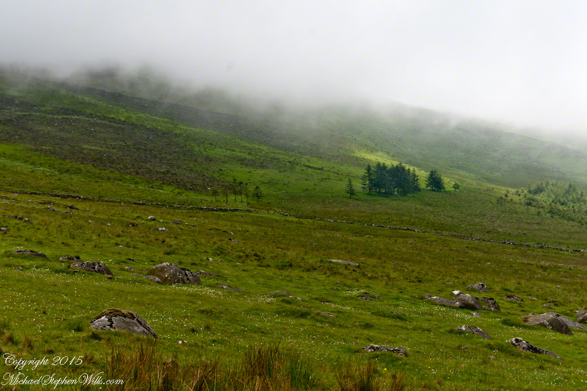
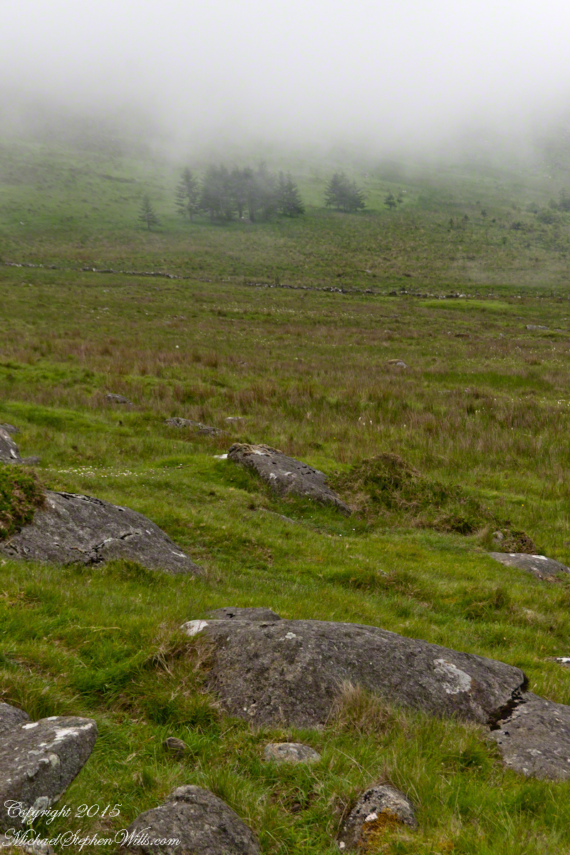
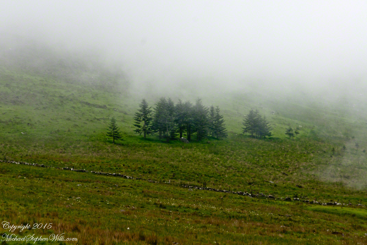
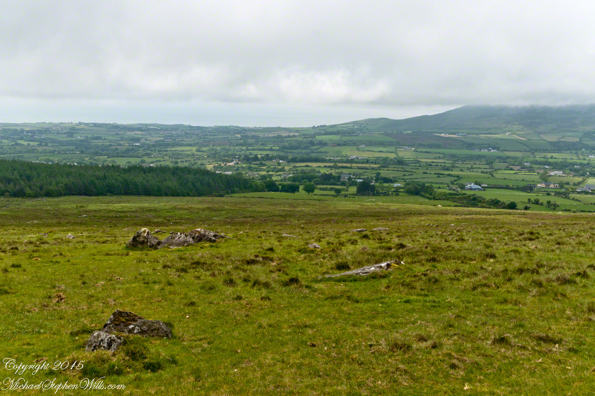
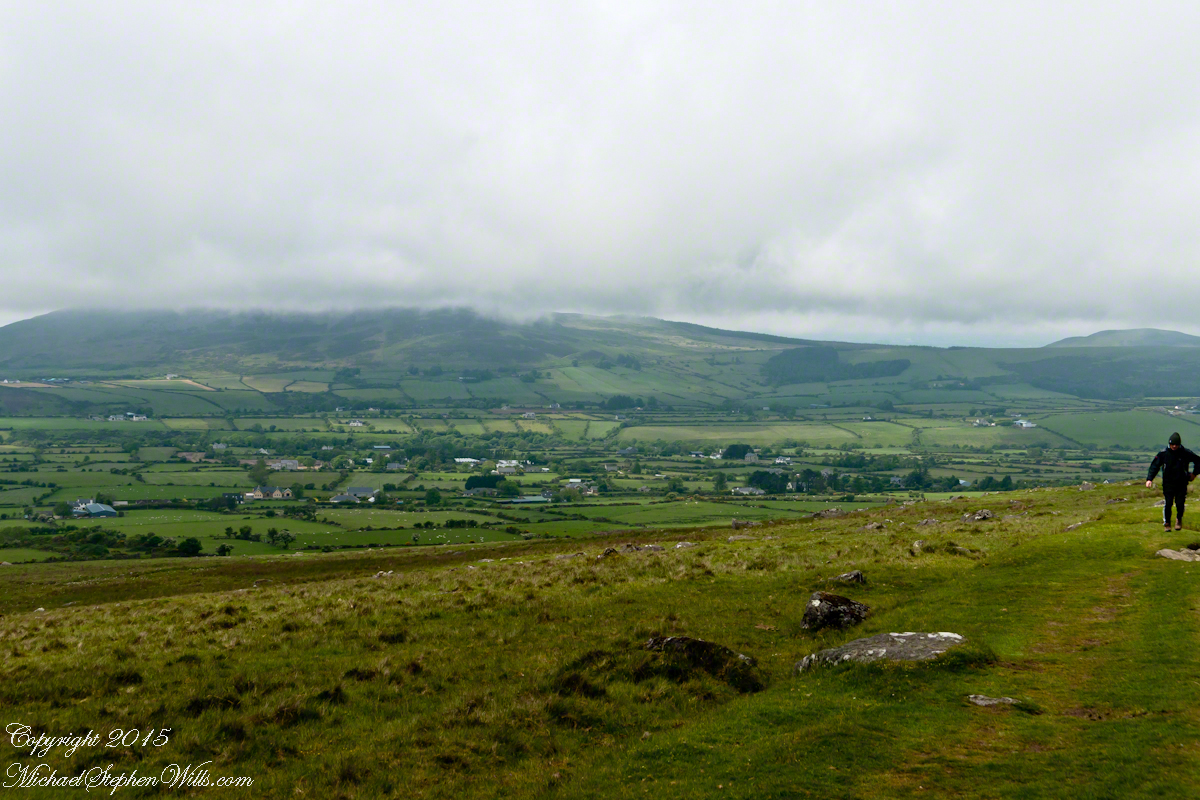
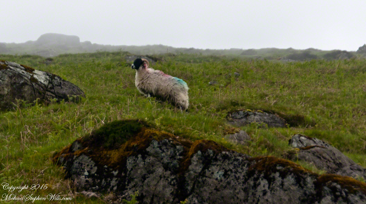
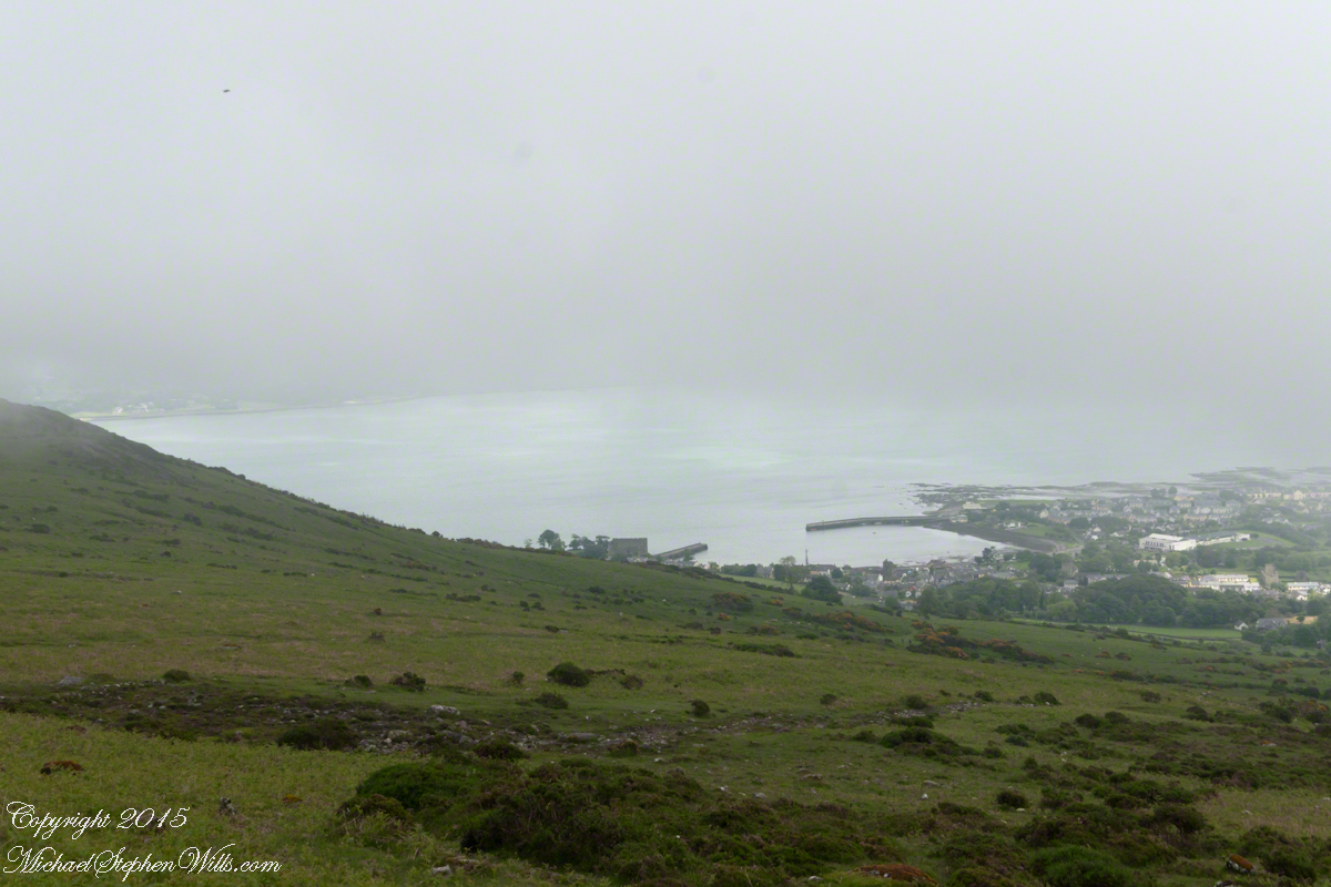
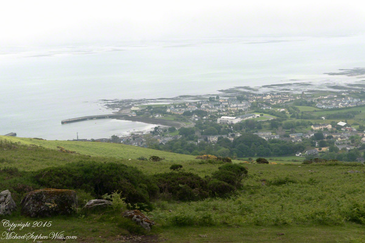
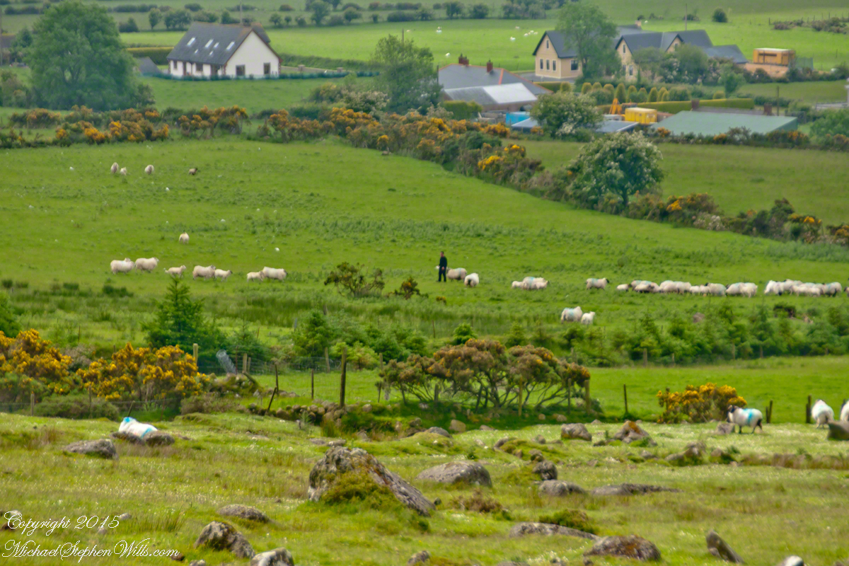
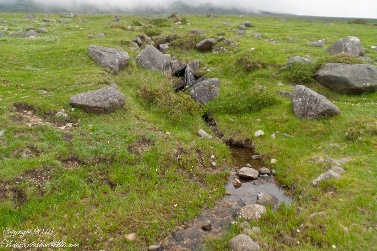
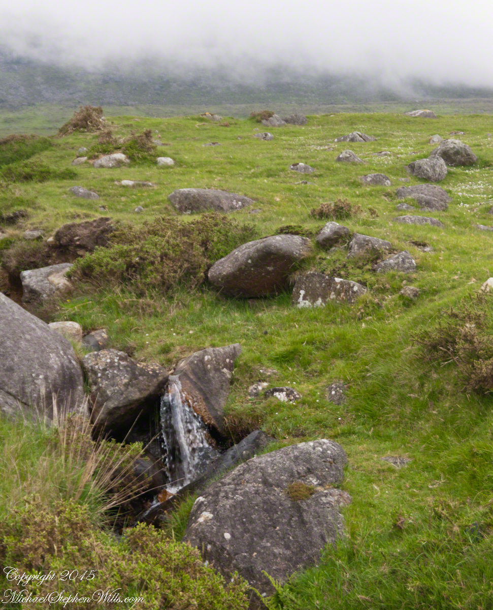
The lower slopes hold many small stream among granite stones.
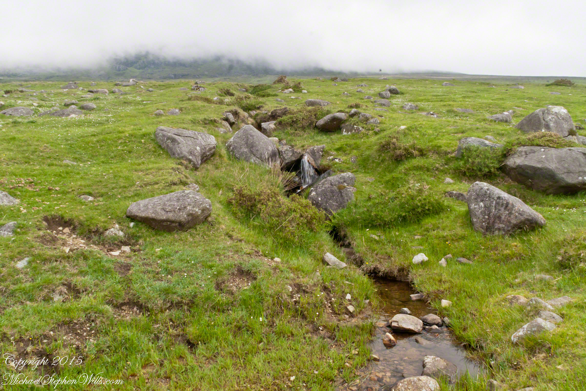
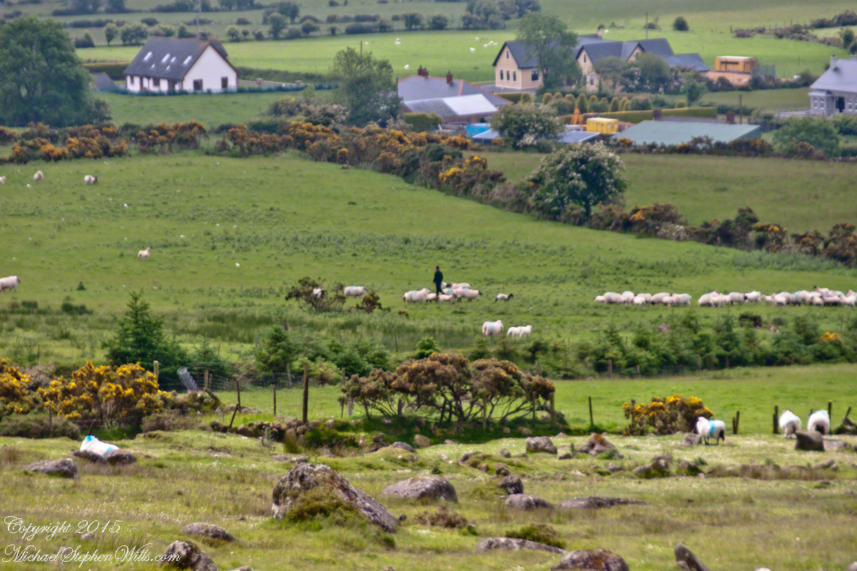
 Walking the Tain Trail to Carlingford Walking the Tain Trail to Carlingford Walking the Tain Trail to Carlingford Walking the Tain Trail to Carlingford Walking the Tain Trail to Carlingford

I will continue with our walk on the Tain Way soon enough.

Click for the next chapter of our time on the Tain Way

Here’s a previous Ireland posting……

Copyright 2021 Michael Stephen Wills All Rights Reserved

On the Tain Way, repost

A place of myth and wonder on foot and approachable

Click me to visit this Ireland post.

Copyright 2020 Michael Stephen Wills All Rights Reserved