Hayrolls

Haymaking, an ancient practice of harvesting and storing feed for livestock, faces modern challenges like climate change and urbanization.

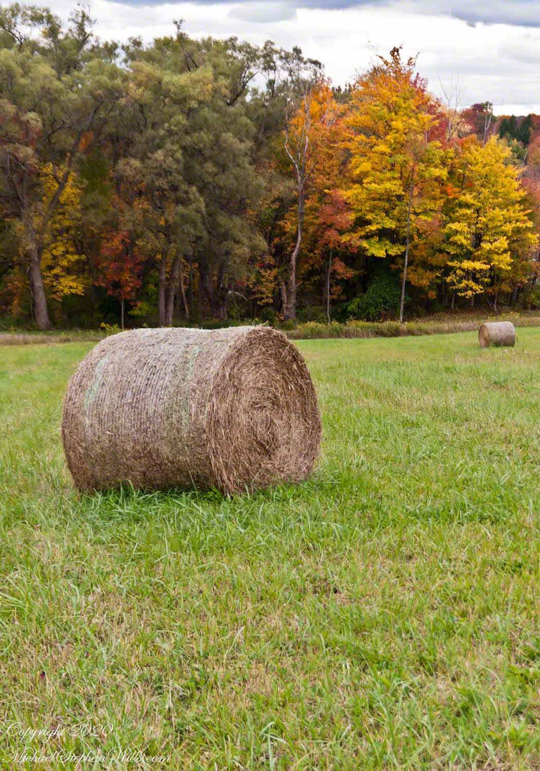
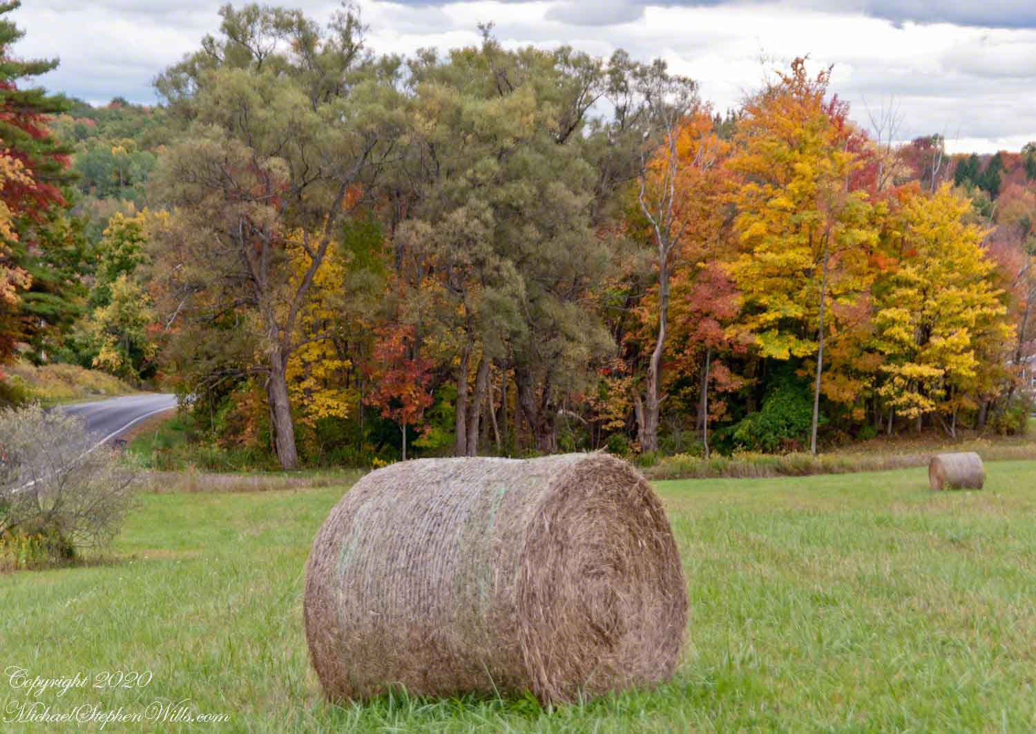
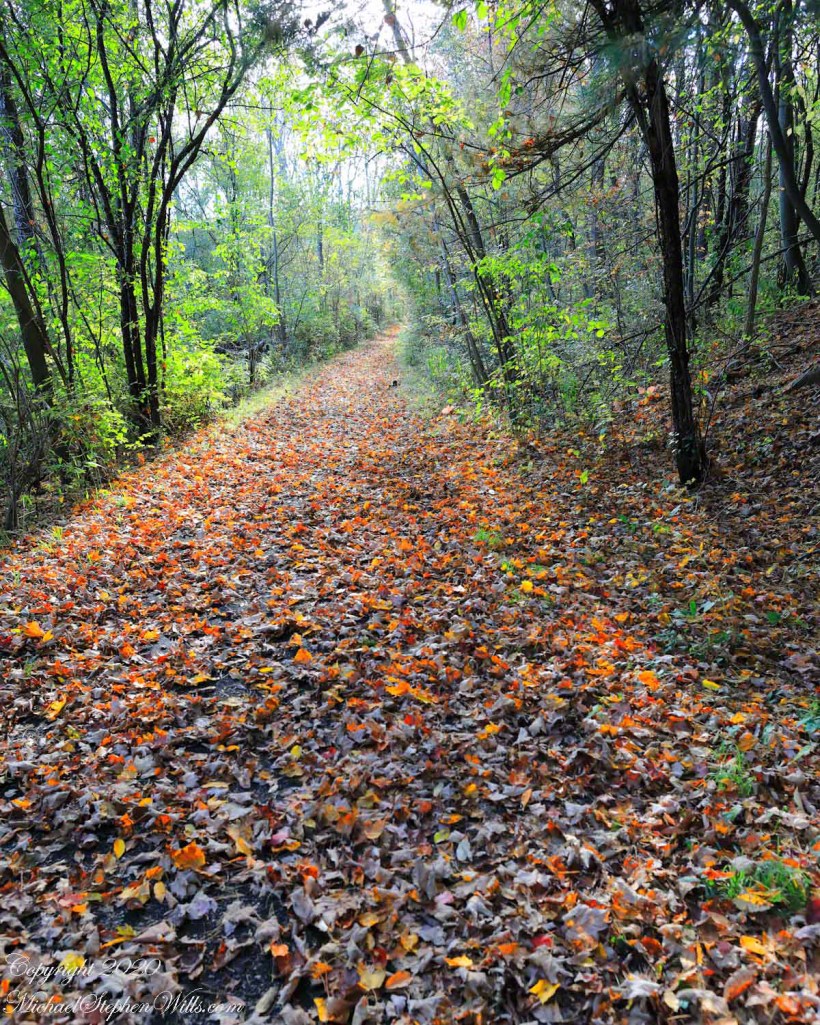
Dry grass gathered for winter feed on Durfee Hill.

Click image for a larger version.

Haymaking, the age-old agricultural practice of harvesting, drying, and storing grasses and leguminous plants, has been central to sustaining livestock throughout history, especially during seasons when fresh pasture is not available. This practice, rooted in necessity and refined by tradition, embodies the intersection of human ingenuity with the rhythm of nature.

Origins of Haymaking

The origins of haymaking can be traced back to a time when early agricultural communities recognized the need to store feed for animals during lean seasons. While the exact timeline of its inception is hard to pin down, ancient texts and artifacts suggest that the process of drying and storing grass as hay has been practiced for millennia. Early haymaking was predominantly manual, relying heavily on the natural process of sun drying.

The Process of Haymaking

Haymaking usually begins with mowing, the act of cutting down the grass when it has reached its peak nutritional value, just before or as it starts flowering. After mowing, the grass is left on the field to dry, a process known as ‘tedding’. The drying process is crucial as it prevents the growth of mold and bacteria which can spoil the hay and make it unsafe for consumption.

To facilitate even drying, the cut grass is often turned over, or ‘tedded’, using specialized equipment or manually with pitchforks. This ensures that the moisture from the bottom layers of the grass is exposed to the sun and air. Once dried, the hay is raked into rows to prepare for the final stage of baling. Baling involves compacting the dried hay into bundles, making it easier for transportation and storage. Over the years, bales have evolved from simple tied bundles to more compact and uniform shapes, thanks to modern machinery.

The Importance of Haymaking

Haymaking is more than just a routine agricultural activity; it’s a lifeline for livestock farmers. Properly made hay provides essential nutrients to animals like cattle, sheep, and horses during winter months when fresh grass is scarce. Moreover, for dairy farmers, the quality of hay can directly impact the quality and quantity of milk produced.

Furthermore, the economic implications of haymaking are significant. A successful haymaking season can mean the difference between a profitable year and financial strain, especially in areas heavily dependent on livestock farming.

Modern Advances and Challenges

With the advent of technology, the haymaking process has seen numerous advancements. Modern machinery, from mowers to balers, has made the process more efficient, reducing the time and labor required. Advances in weather prediction tools have also assisted farmers in choosing the optimal time for haymaking, maximizing the chances of getting dry weather which is crucial for the process.

However, haymaking, like many agricultural practices, faces challenges in the modern era. Climate change and its resultant unpredictable weather patterns pose significant risks. Unexpected rains during the drying phase can severely affect the quality of hay. Moreover, urbanization and changing land use patterns are reducing the available land for hay cultivation.

Conclusion

Haymaking, as an agricultural practice, exemplifies the human endeavor to harness nature’s bounty for sustenance. From its ancient origins to modern implementations, it remains a testament to the farmer’s deep understanding of the land and its cycles. In a broader sense, haymaking underscores the importance of preparedness, of looking ahead and planning for the future, a lesson that resonates well beyond the confines of agriculture. As we face contemporary challenges, revisiting and valuing such practices can offer insights into sustainable and harmonious living.

P.S. Reader BigSkyBuckeye offered this insight, “Having lived many years in rural, ranching communities, one sees the lifeline of hay for winter feeding of cattle. One important note–most ranchers separate their stacks of bails with some distance, so a lightning strike doesn’t consume every bail.”

Copyright 2023 Michael Stephen Wills All Rights Reserved

Dappled Sunlight

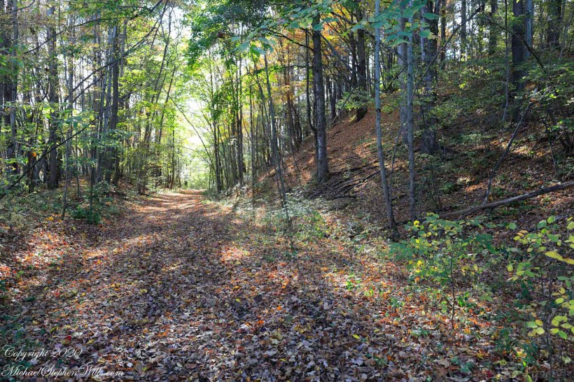
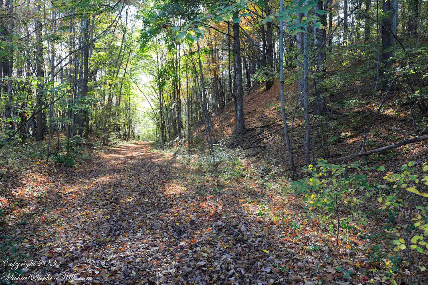
The Malloryville eskers near Freeville, New York, highlight the region’s glacial history and contribute significantly to biodiversity and local ecology.

Walking here, I enjoy telling the grandchildren of the immense, mile-high ice sheet that once covered this land 10,000 years ago, creating these hills and hollows.

Click Me for another Malloryville post, “Formed By Water.”
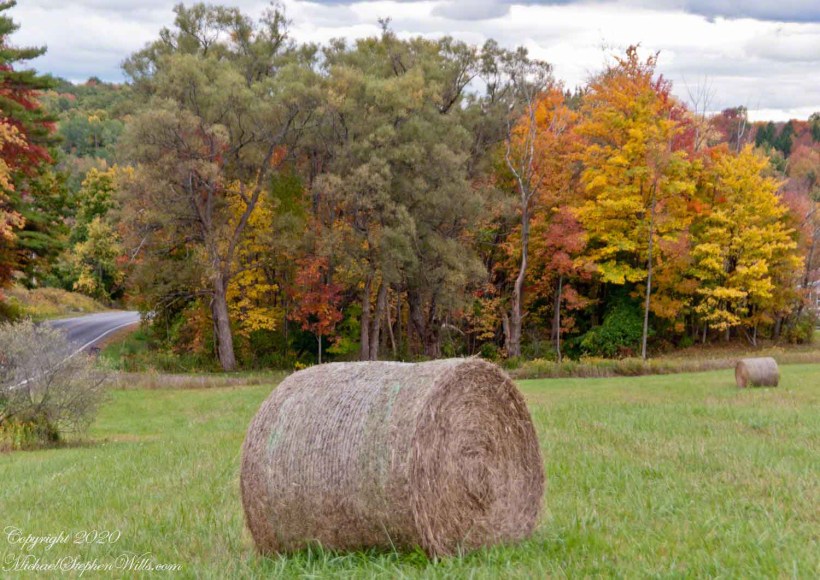
Eskers are geological features that tell a rich tale of the glacial history of an area. In the landscape near Freeville, New York, the eskers of Malloryville stand as prominent reminders of the last Ice Age and the profound effects glaciers have had on the North American terrain. These elongated ridges, composed primarily of sand and gravel, not only offer a visual spectacle but also provide crucial insights into the glacial processes that shaped the region.

Eskers are formed by the deposition of sediment from meltwater rivers flowing on the surface of or within glaciers. As these glaciers recede, the sediment accumulates in the paths previously carved by the meltwater streams, eventually forming ridges. The Malloryville eskers are particularly notable for their well-preserved structure, giving geologists and enthusiasts alike a clear vision of the patterns of glacial meltwater flow from thousands of years ago.

Located just a few miles from Freeville, the Malloryville eskers are an intriguing natural attraction. The topography of the area, largely shaped by the Laurentide Ice Sheet during the last glacial maximum, is characterized by various glacial features, but the eskers are undeniably some of the most distinct. Their serpentine-like appearance, weaving through the landscape, immediately captures one’s attention and beckons further exploration.

From an ecological perspective, the eskers of Malloryville contribute to the area’s biodiversity. The unique microenvironments created by these ridges offer habitats that differ from the surrounding landscape. This differentiation allows for a variety of plant species to thrive, some of which are specially adapted to the well-drained soils of the eskers. Additionally, these ridges act as corridors for wildlife, facilitating movement and offering vantage points for species like deer and birds of prey.

Historically, the eskers near Freeville have also had an impact on human activity. Native American communities, recognizing the strategic advantage of these high grounds, are known to have used them as pathways or even settlement sites. In more recent history, the gravel and sand composition of the eskers have made them targets for mining activities. While this has led to the alteration or destruction of some sections, it has also highlighted the importance of preserving these unique geological features for future generations.

Efforts to study and preserve the Malloryville eskers have grown in recent years. Local educational institutions, in collaboration with geological societies, have undertaken detailed studies to understand the formation and significance of these features better. Such initiatives not only contribute to the scientific understanding of glacial processes but also raise awareness about the importance of conserving unique geological formations. Given the potential impacts of climate change on glacial landscapes worldwide, the eskers serve as a poignant reminder of the dynamic nature of our planet and the traces left behind by the ebb and flow of ice ages.

In conclusion, the eskers of Malloryville near Freeville, New York, stand as testaments to the glacial history of the region. These winding ridges, with their intricate patterns and rich ecological contributions, weave a story of natural processes that have spanned millennia. They remind us of the ever-changing nature of our planet and underscore the importance of understanding and preserving its geological wonders. Whether one views them with the eyes of a scientist, historian, or nature enthusiast, the Malloryville eskers offer a captivating glimpse into the ancient forces that have shaped the world around us.

Copyright 2020 Michael Stephen Wills All Rights Reserved

Coming and Going

beneath the bridge

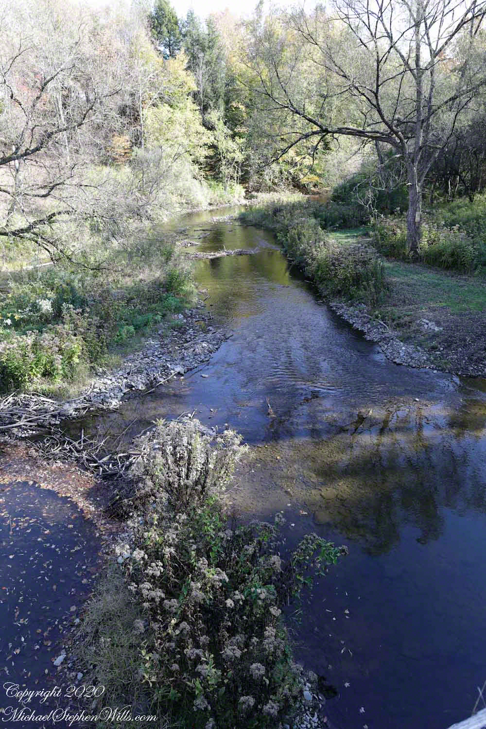
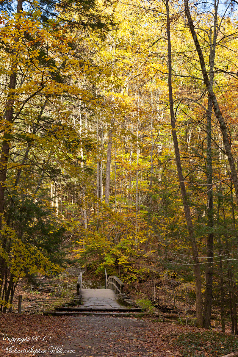
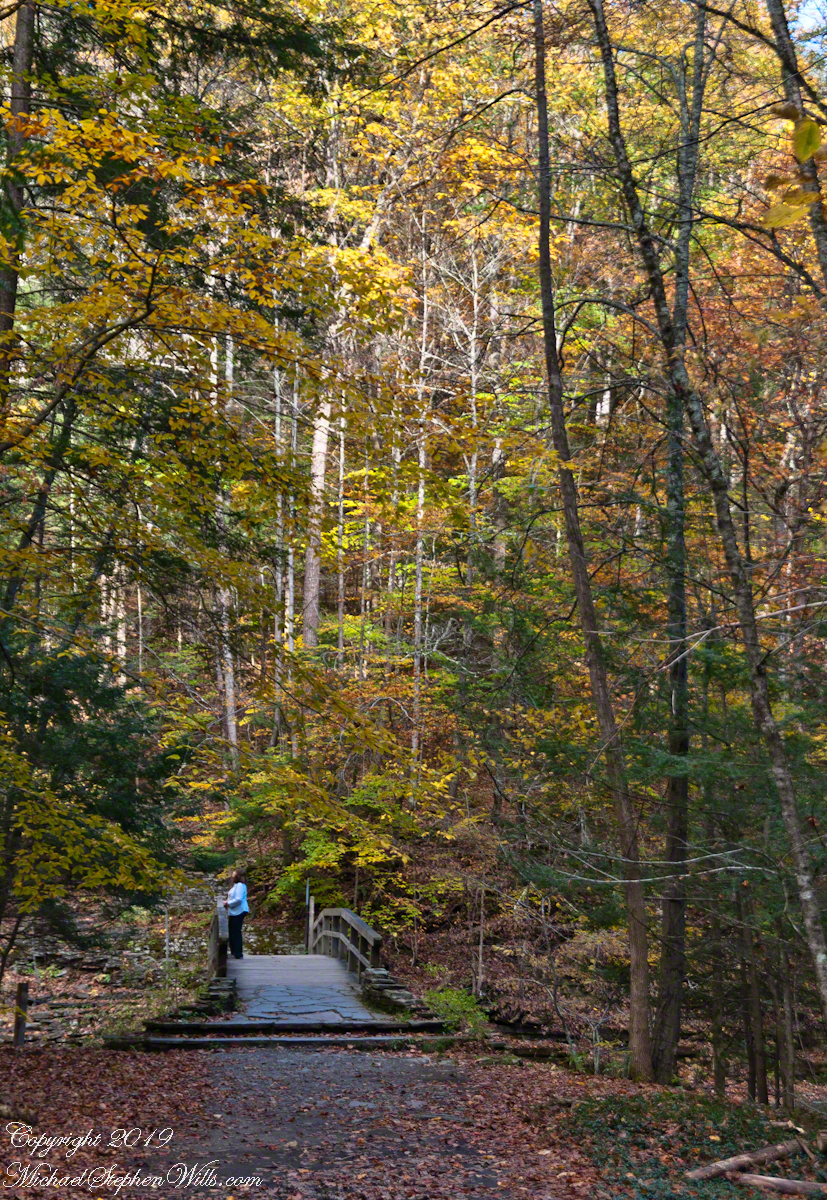
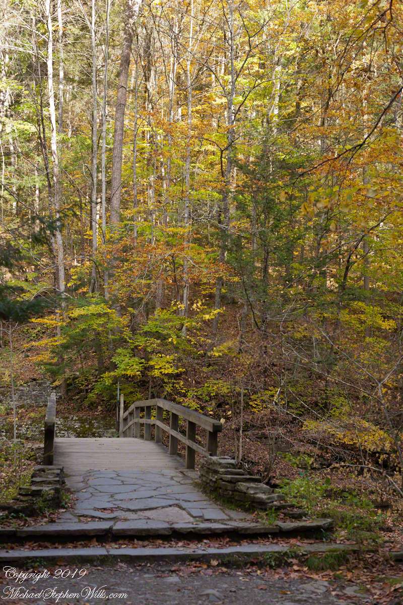
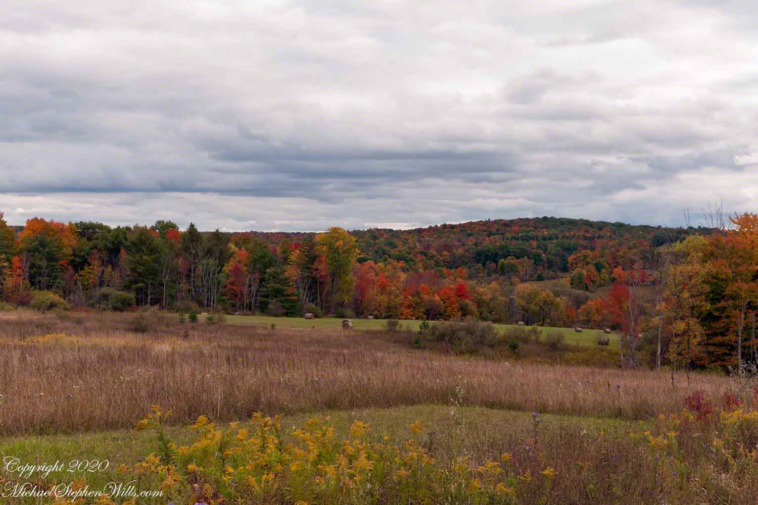
Standing on a stream spanning bridge it is fun to drop a stick or leaf, watch the progress, disappearing beneath the bridge to emerge and continue riding the water downstream.

Click image for a larger version.

Click Me for another Malloryville post, “Formed By Water.”
Copyright 2023 Michael Stephen Wills All Rights Reserved

more Jennings Pond IV

Still life and stillness

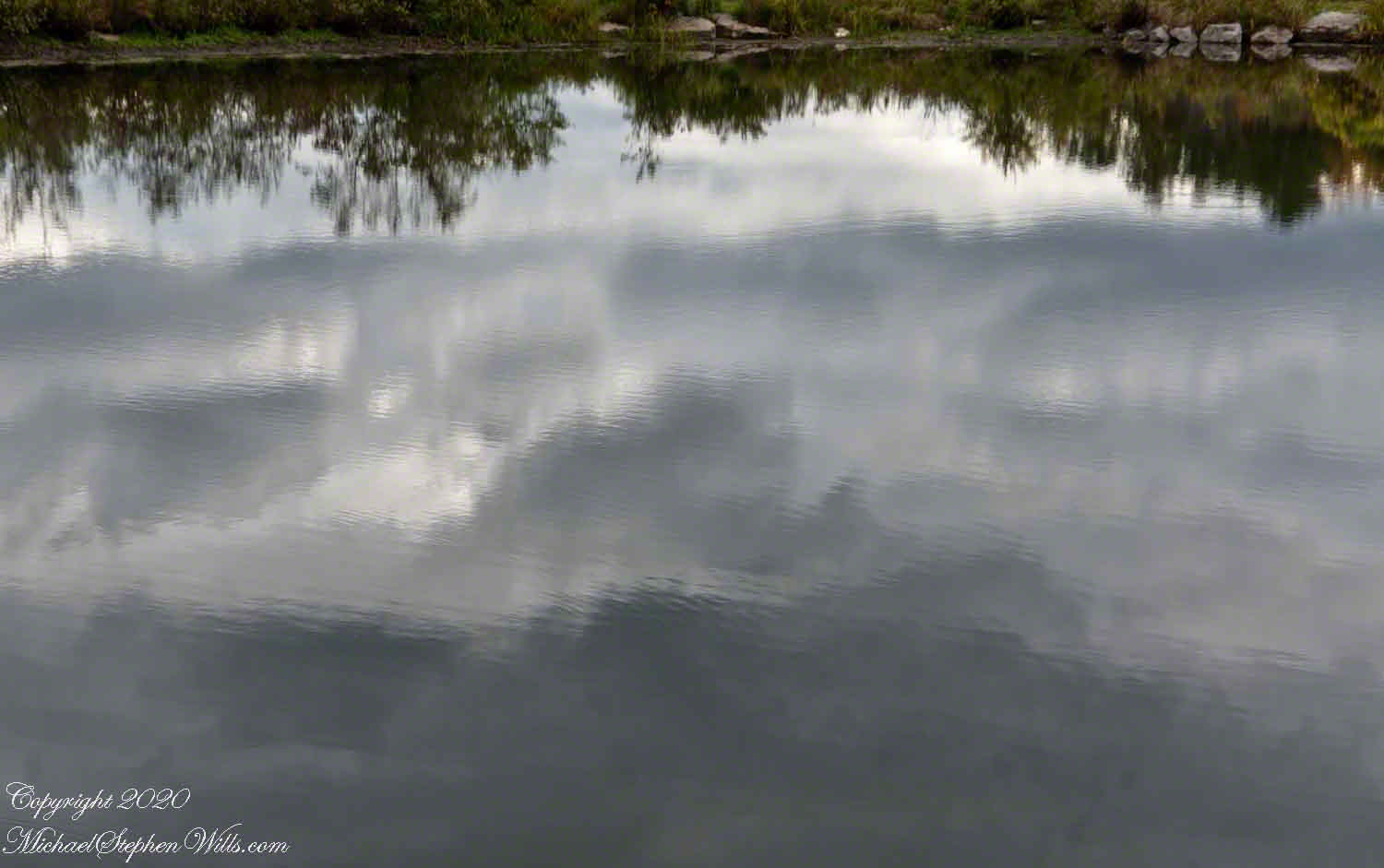
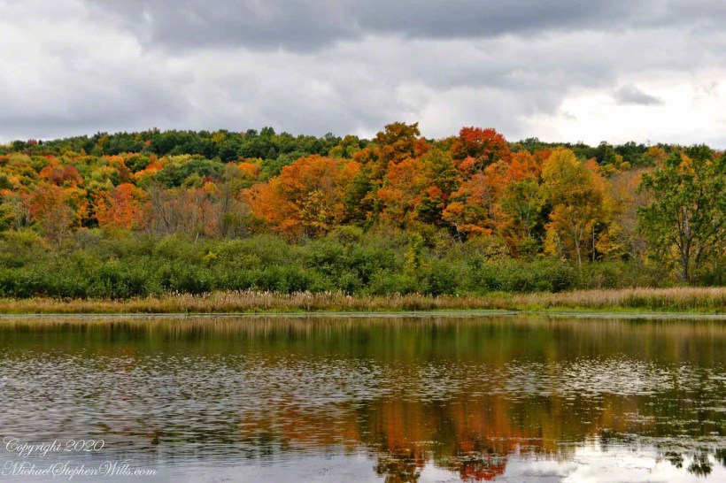
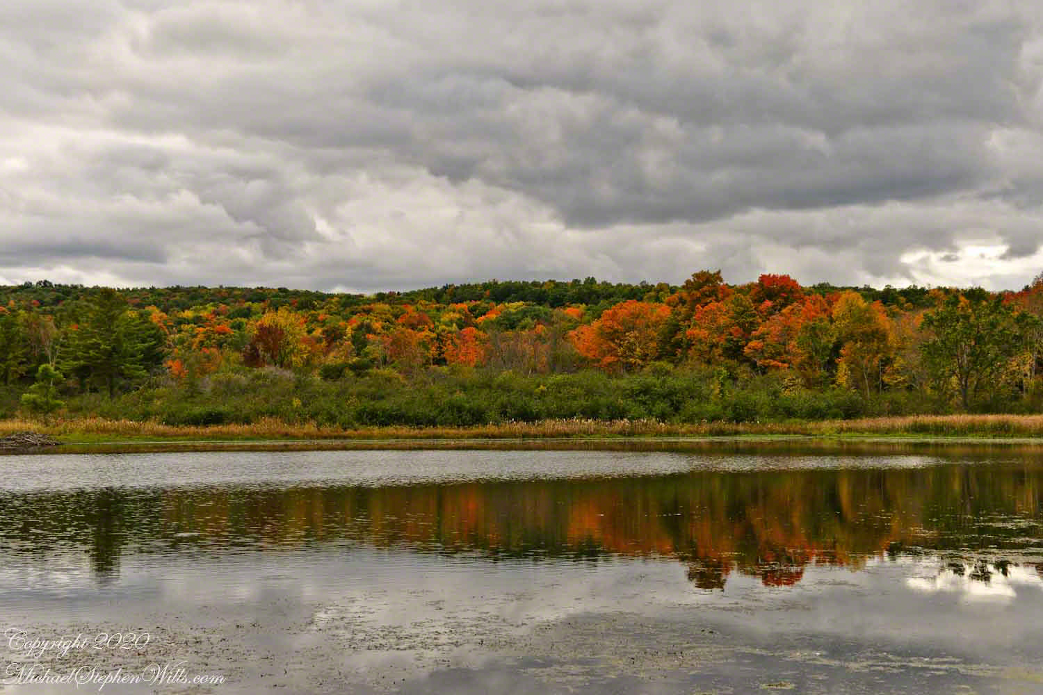
I described Jennings Pond to Pam and we returned together. Here is a photographic essay from that day, one of a series.

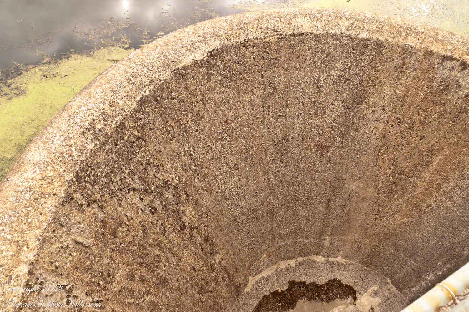
The first image is the small concrete dam, taken from the footbridge over the pond outlet, source for Buttermilk Creek.

Copyright 2023 Michael Stephen Wills All Rights Reserved

more Jennings Pond III

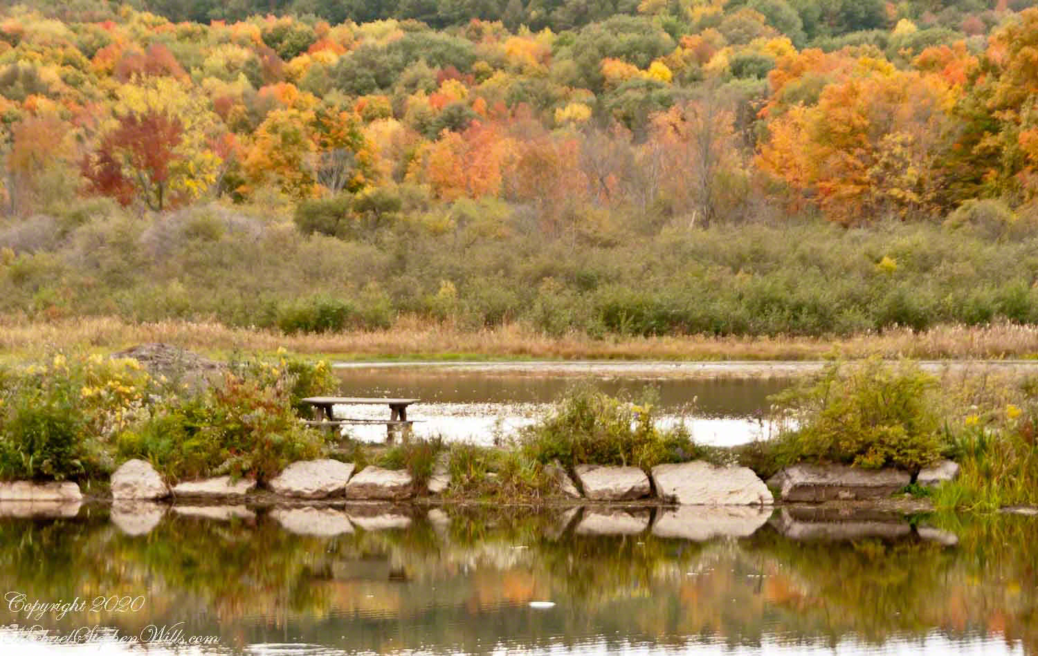
Picnics on the berm

I described Jennings Pond to Pam and we returned together. Here is a photographic essay from that day, one of a series.

Copyright 2023 Michael Stephen Wills All Rights Reserved

more Jennings Pond II

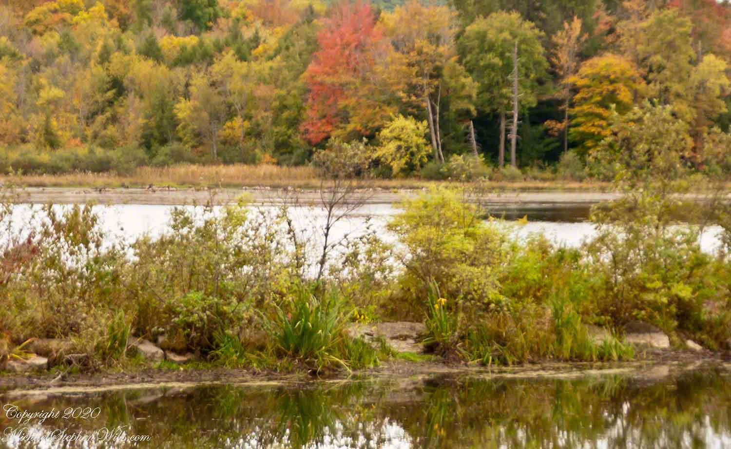
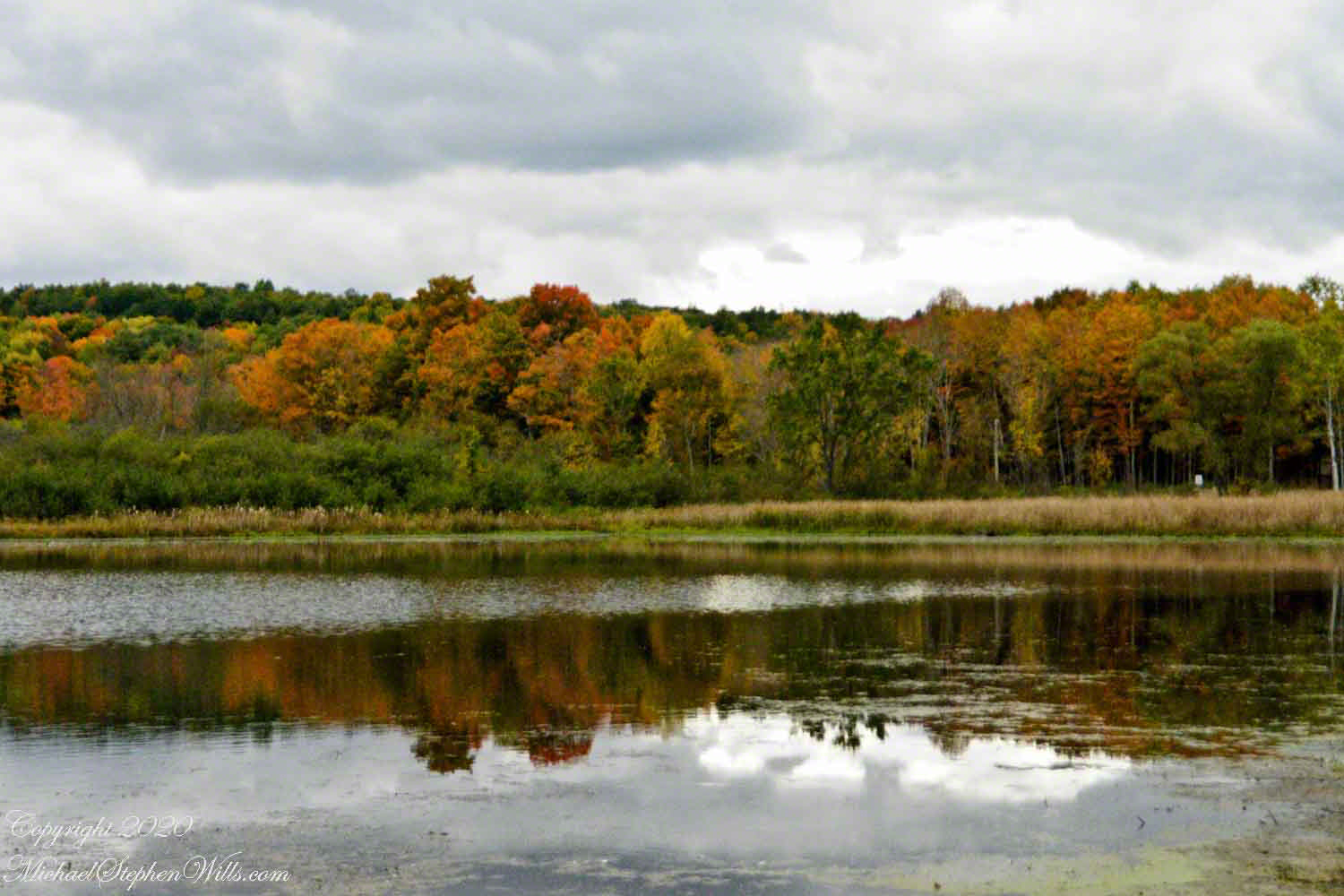
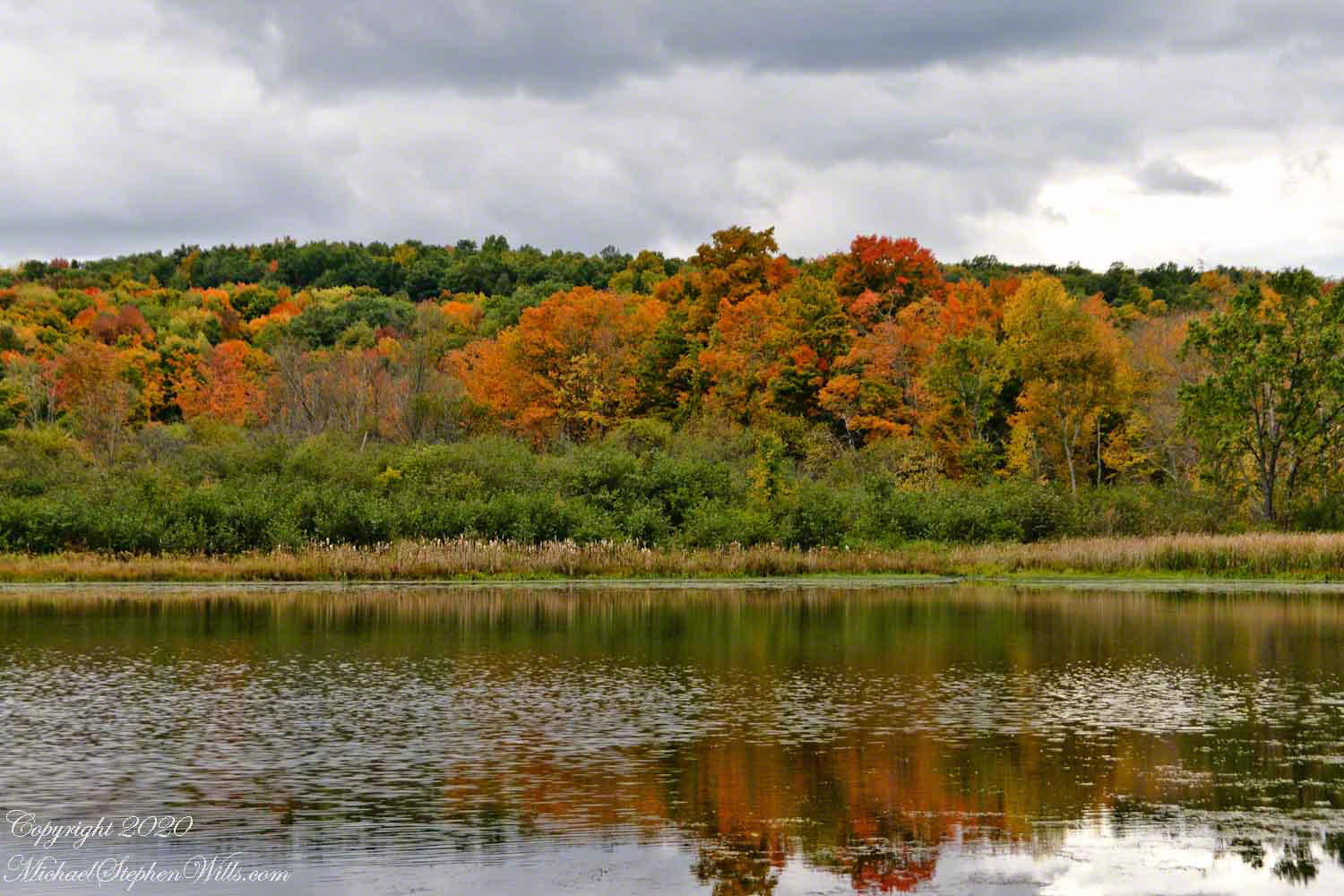
A gathering autumn glory

I described Jennings Pond to Pam and we returned together. Here is a photographic essay from that day, one of a series.

Copyright 2023 Michael Stephen Wills All Rights Reserved

more Jennings Pond I

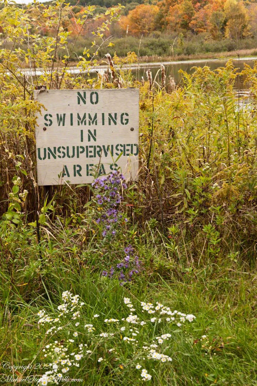
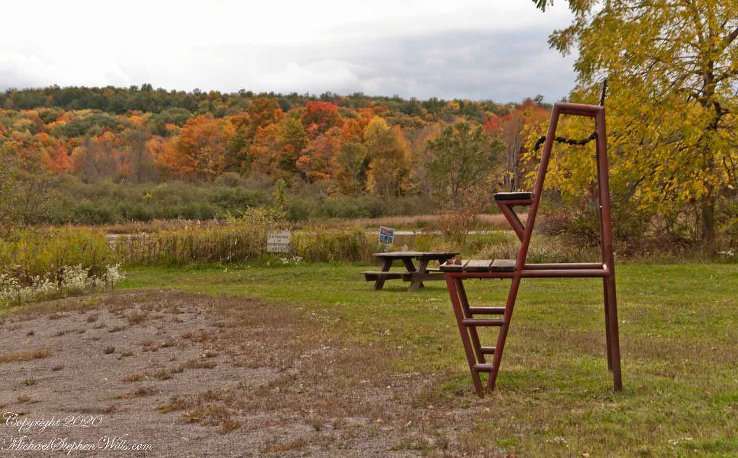
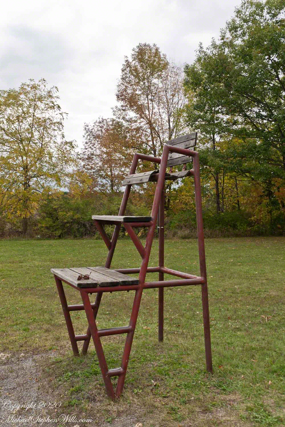
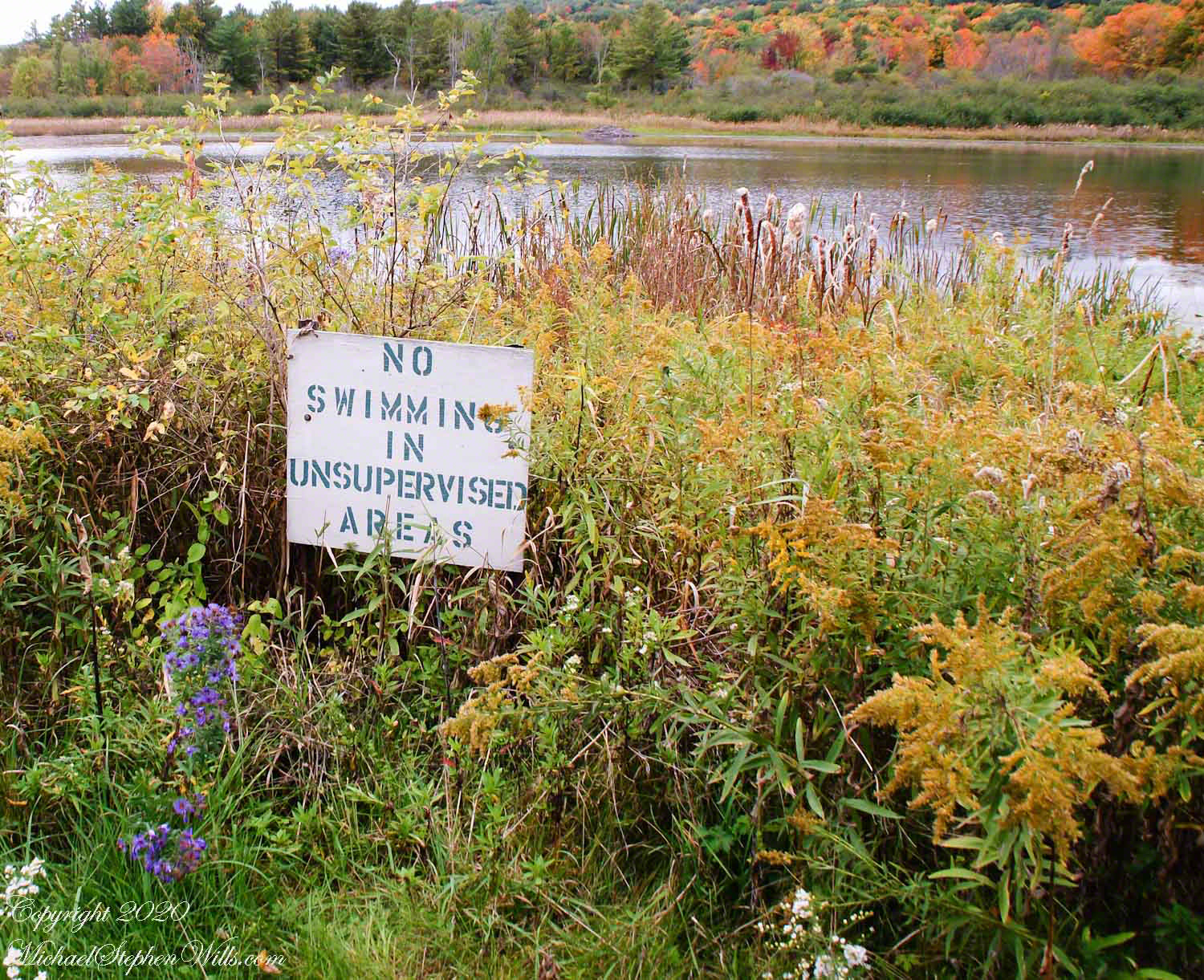
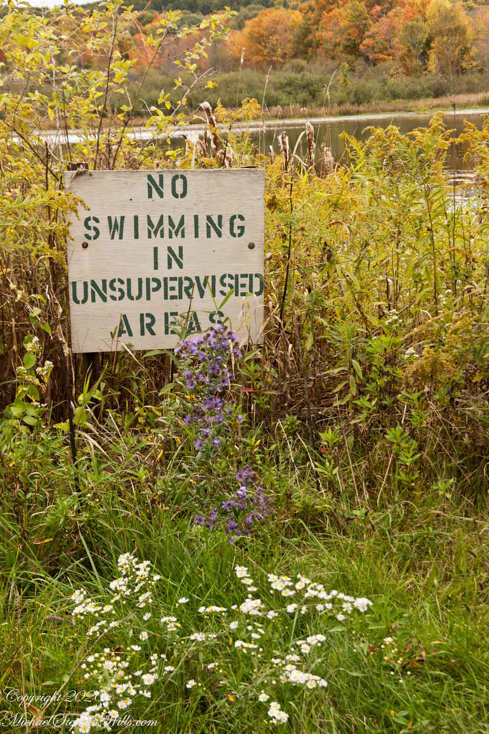
No Swimming!?

“Jennings Pond,” is a song, celebrating swimming.
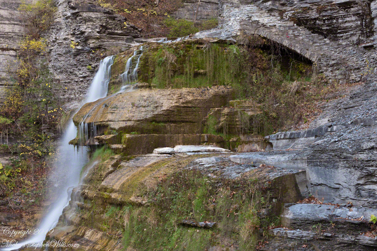
Here is a photographic essay on the subject of swimming at Jennings Pond this October afternoon.

Copyright 2023 Michael Stephen Wills All Rights Reserved

Gorge Stairway

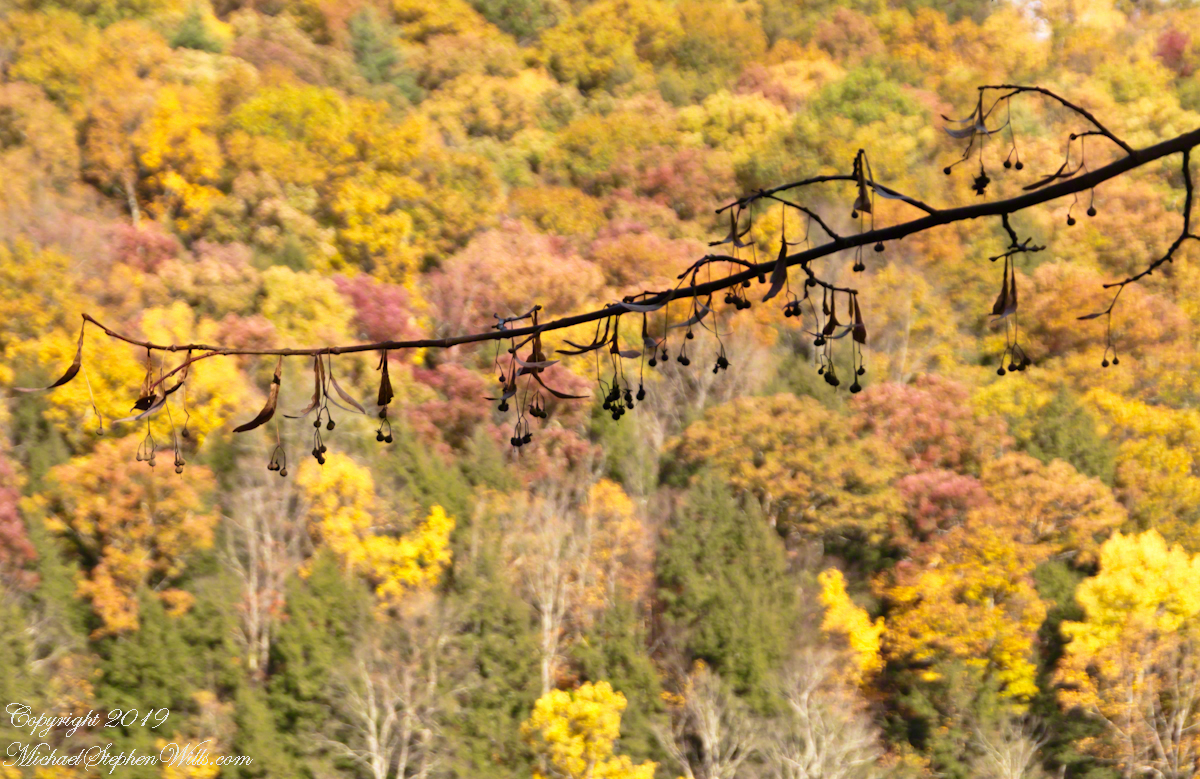
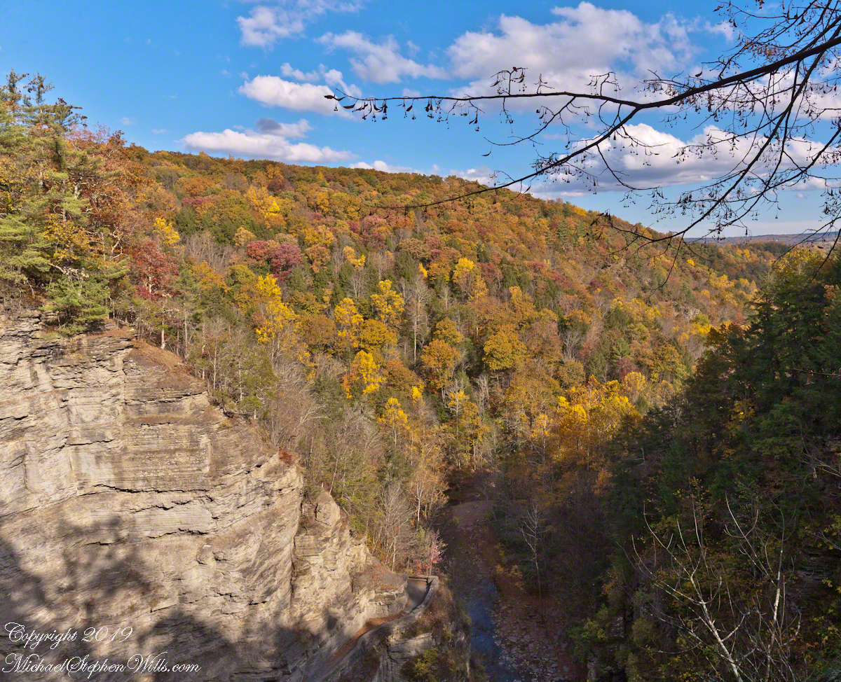
when the elms blazed a glorious yellow.

Click any photograph to visit my Online Gallery

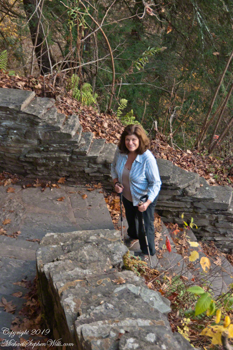
A staircase leading to the Fillmore Glen Gorge

on a perfect October evening

when the elms blazed a glorious yellow.

Filled with Golden Elms

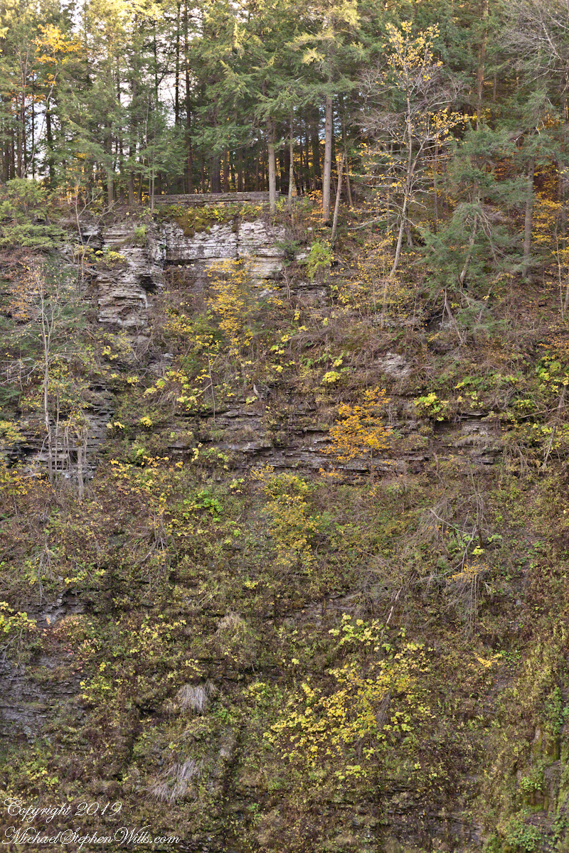
Fillmore Gorge is full with slippery elms.

The constant infall of the gorge keeps these trees small.

Once a year, for a few days, all the elms turn at once. We were lucky to visit at the perfect moment.

The elms blaze yellow for a day or two, early October.

Copyright 2023 Michael Stephen Wills All Rights Reserved

Lucifer Falls Slide Show

Autumn at Treman Park

Pam and I visited Treman for our last visit of 2017. It was a bright, warm October afternoon. Here is a slide show of our experience, the details shared in recent postings. Enjoy!!

Click photograph for a larger view. To do this from WordPress Reader, you need to first click the title of this post to open a new page.

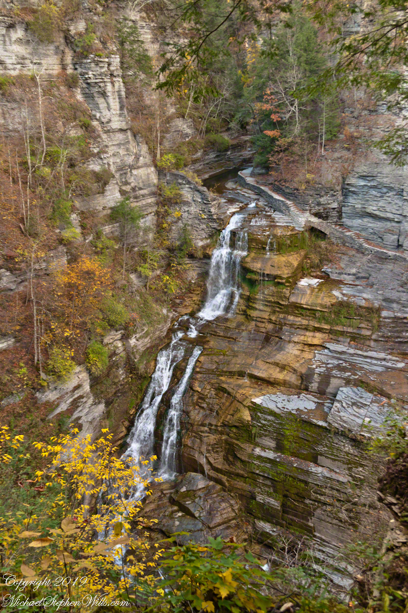
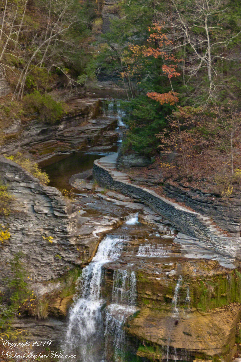
In November the gorge is closed for the winter due to dangerous conditions under the steep, crumbling walls. Robert H. Treman New York State Park.

Copyright 2019 All Rights Reserved Michael Stephen Wills

Newgrange VIII

The Newgrange facade and kerbstones consists of stones from various locations, believed to be transported by sea and river.

The Newgrange façade and entrance of today is a creation from the large quantity of small stones unearthed and conserved during excavation given form by a steel-reinforced concrete retention wall. 

The brilliant white quartz cobblestones were collected from the Wicklow Mountains, 31 miles to the south.  Our guide called them “sunstones” for the way they reflect sunlight. In the following photograph is white quartz, the same excavated 1967-1975 from the Newgrange site and incorporated into the facade, I collected from “Miners Way” along R756 (above Glendalough).

You can also see in these photographs dark rounded granodiorite cobbles from the Mourne Mountains, 31 miles to the north.  Dark gabbro cobbles from the Cooley Mountains and banded siltstone from the shore at Carlingford Lough both locations on the Cooley Peninsula where my mother’s family still has farms.

The stones may have been transported to Newgrange by sea and up the River Boyne by fastening them to the underside of boats at low tide. None of the structural slabs were quarried, for they show signs of having been weathered naturally, so they must have been collected and then transported, largely uphill, to the Newgrange site. The granite basins found inside the chambers also came from the Mournes.

Geological analysis indicates that the thousands of pebbles that make up the cairn, which together would have weighed about 200,000 tons, came from the nearby river terraces of the Boyne. There is a large pond in this area that is believed to be the site quarried for the pebbles by the builders of Newgrange.

Most of the 547 slabs that make up the inner passage, chambers, and the outer kerbstones are greywacke. Some or all of them may have been brought from sites either 3 miles away or from the rocky beach at Clogherhead, County Louth, about 12 miles to the northeast.

Click Me for the first post of this series.

Copyright 2023 Michael Stephen Wills All Rights Reserved