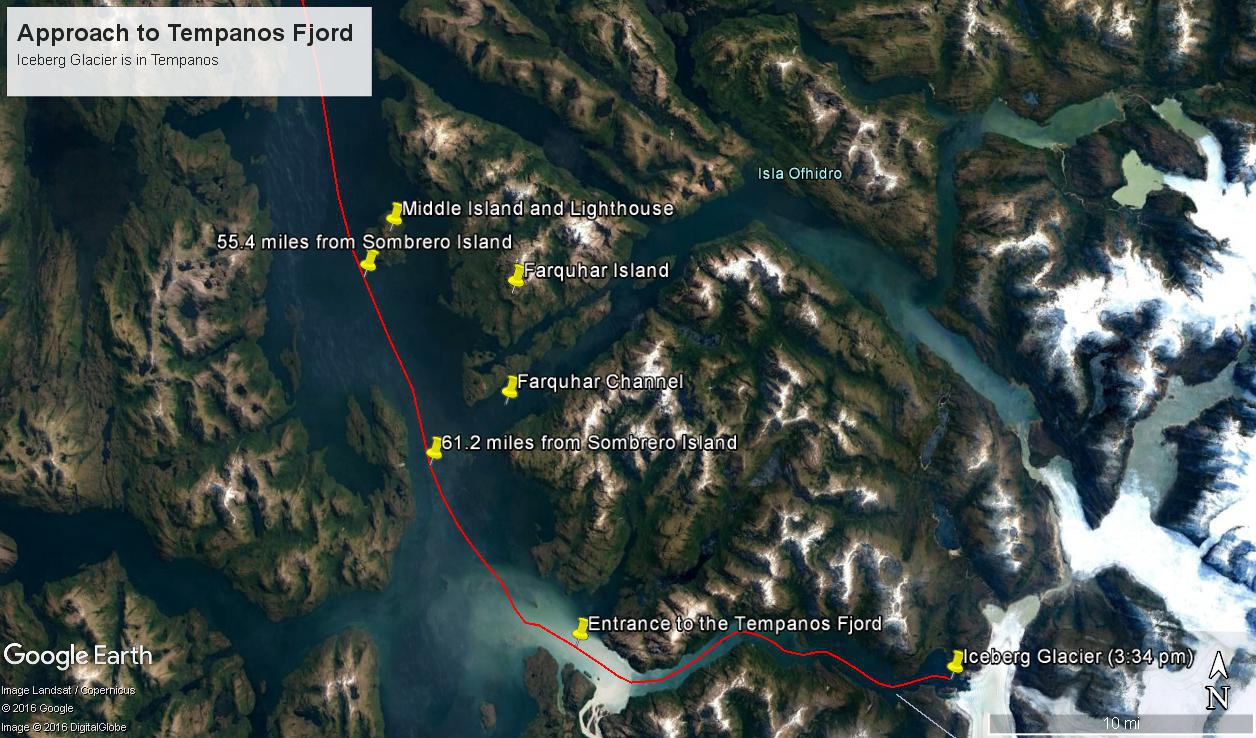
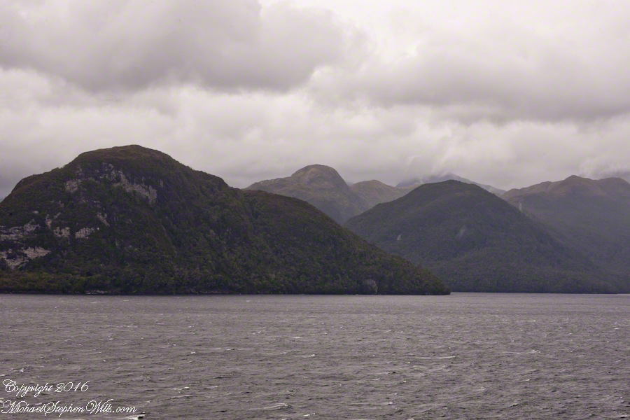
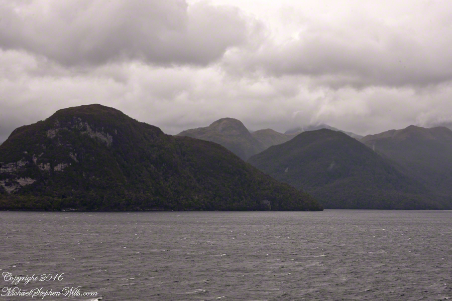
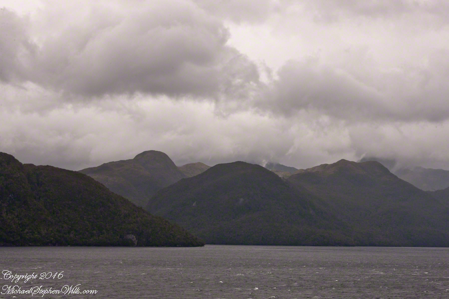
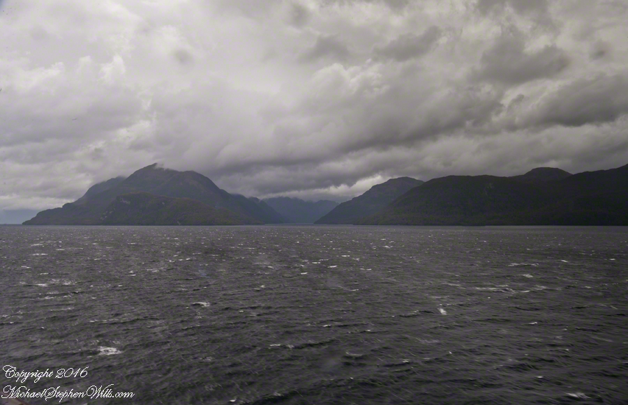
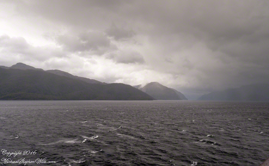
The resolution of the Canon EF 24mm f/1.4L II USM makes this lens a favorite of mine for landscape work. Let me show you why.
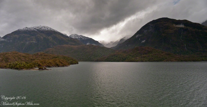
The valley today’s posting lies behind the tree. It is a broad valley shaped by ancient glaciers.
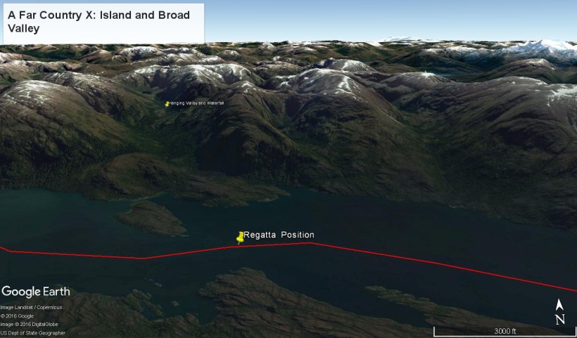
Here is the Google Earth view, from an elevation of 9,400 feet, with the ship position marked. Northwest is a pushpin titled, “Hanging Valley and Waterfall.”
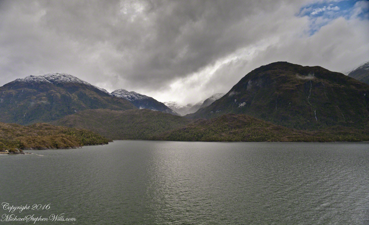
The waterfall marking the hanging valley is visible in the following photograph. All photographs in this posting are from a Canon EOS-1Ds MarkIII, 24 mm lens (see above for complete name), on a Manfrotto travel tripod. ISO 500, f5.6 or f6.3.
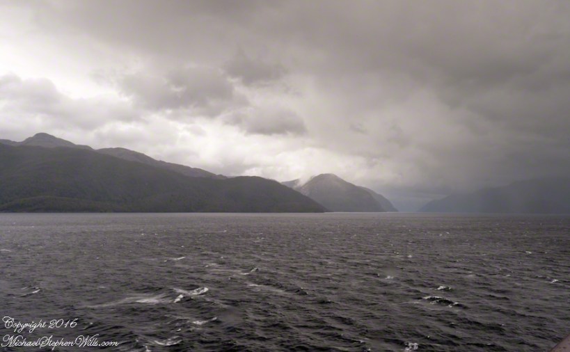
With a point of view about 50 feet above the water the valley bottom is hidden behind an 800 foot hill and the water fall is just above the hill. See it? …..I didn’t think so.
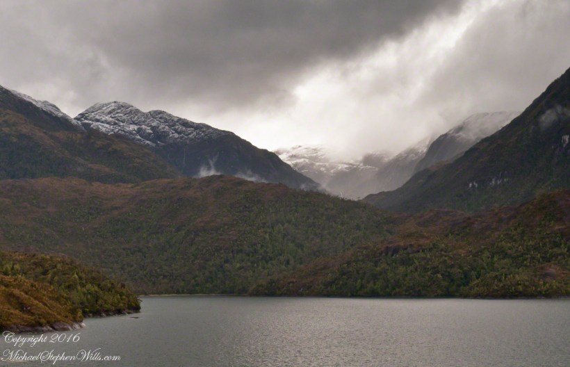
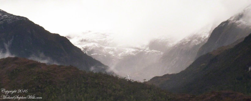
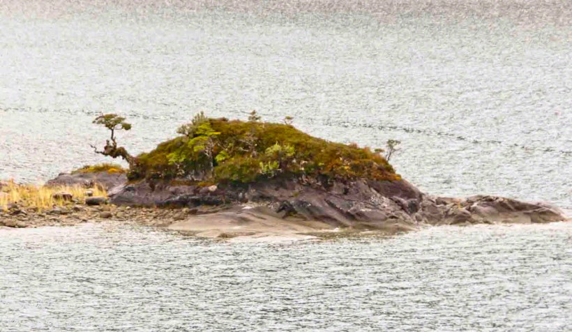
There is the island with the tree, to the left. The following image is the same photograph, with the central section enlarged.
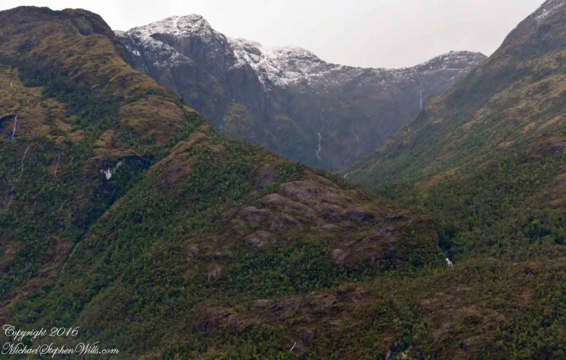
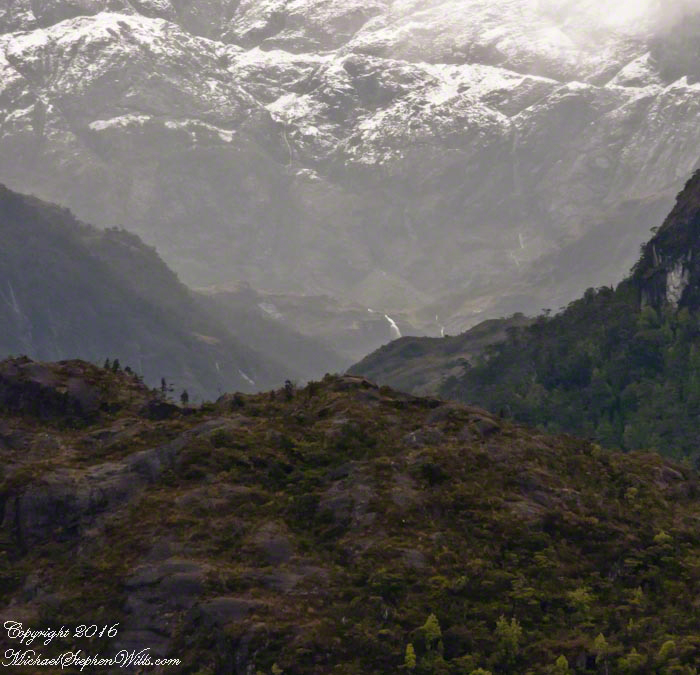
The enlargement brings out the play of light, the low clouds, deep in the valley. To provide scale, know those are full sized pines on the hillside, foreground. The waterfall is just about visible. I will enlarge the image one more time.
There it is!! I stepped up contrast, as well.
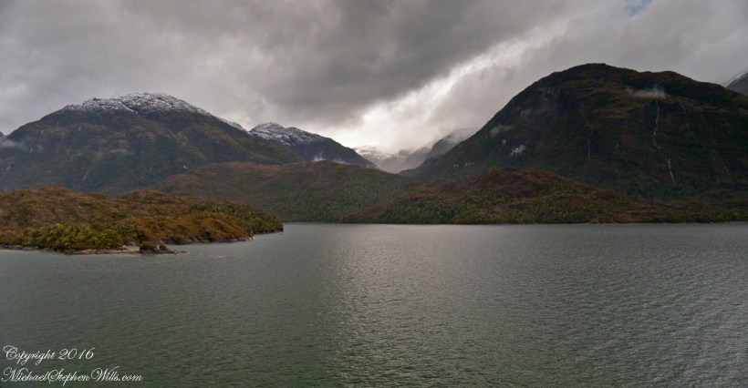
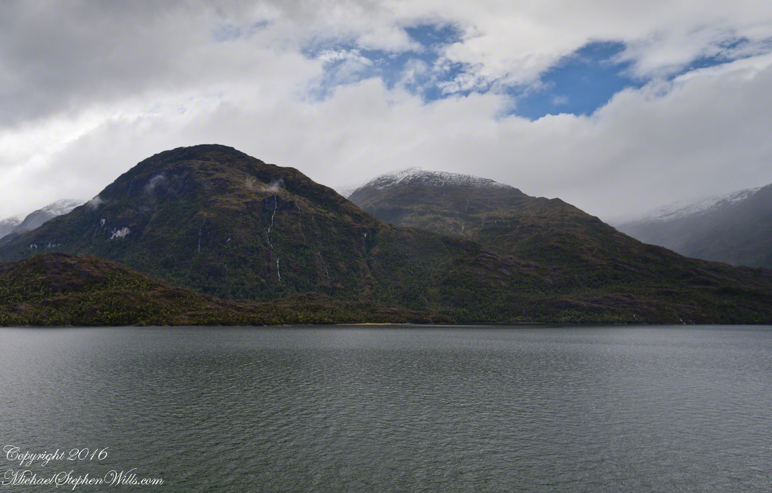
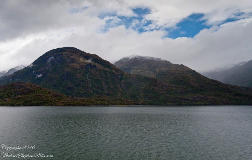
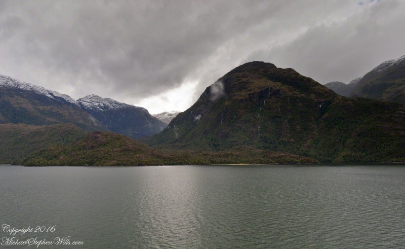
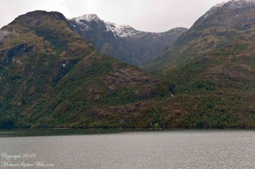
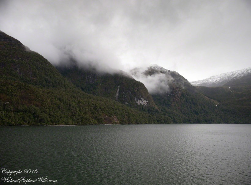
Here is another version of the original view. That patch of sky had opened up seconds after the first shot and, as a result, the 3,000 door mountain and waterfalls, on right, are better lit. Notice the bare rock face on the mountain slope, marking a landslide.
Click this image for a high resolution version, in your browser.
A different landslide Scar is featured in two previous blogs,
The resolution of the Canon EF 24mm f/1.4L II USM makes this lens a favorite of mine for landscape work. Let me show you why.
The valley today’s posting lies behind the tree. It is a broad valley shaped by ancient glaciers.
Here is the Google Earth view, from an elevation of 9,400 feet, with the ship position marked. Northwest is a pushpin titled, “Hanging Valley and Waterfall.”
The waterfall marking the hanging valley is visible in the following photograph. All photographs in this posting are from a Canon EOS-1Ds MarkIII, 24 mm lens (see above for complete name), on a Manfrotto travel tripod. ISO 500, f5.6 or f6.3.
With a point of view about 50 feet above the water the valley bottom is hidden behind an 800 foot hill and the water fall is just above the hill. See it? …..I didn’t think so.
There is the island with the tree, to the left. The following image is the same photograph, with the central section enlarged.
The enlargement brings out the play of light, the low clouds, deep in the valley. To provide scale, know those are full sized pines on the hillside, foreground. The waterfall is just about visible. I will enlarge the image one more time.
There it is!! I stepped up contrast, as well.
Here is another version of the original view. That patch of sky had opened up seconds after the first shot and, as a result, the 3,000 door mountain and waterfalls, on right, are better lit. Notice the bare rock face on the mountain slope, marking a landslide.
Click this image for a high resolution version, in your browser.
The Regatta’s course brought us closer for the two following shots.
The lovely sky is still visible…..
….one minute later the clouds gather and relative darkness returns.
(Click any photograph to visit my online gallery)
Copyright 2022 Michael Stephen Wills All Rights Reserved
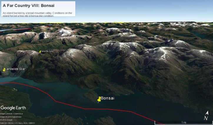
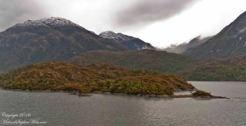
Here is a Google Earth view of Tempanos Fjord from 9,400 feet, looking north, northwest over a point on the fjord 6.5 miles from Iceberg Glacier, at 4 pm local time on February 17, 2016. This view is interesting for the insignificant island, .75 mile long, and broad mountain valley to the north fringed with waterfalls.
Marked is the location of a tree, “bonsai”, a feature of the fjord cliffs, “Landslide Scar” and a neighboring Fjord, “Farquhar Fjord.”
This blog features the tree.
The Farquhar Fjord entrance opens onto the entrance of Tempanos Fjord and is the last photograph.
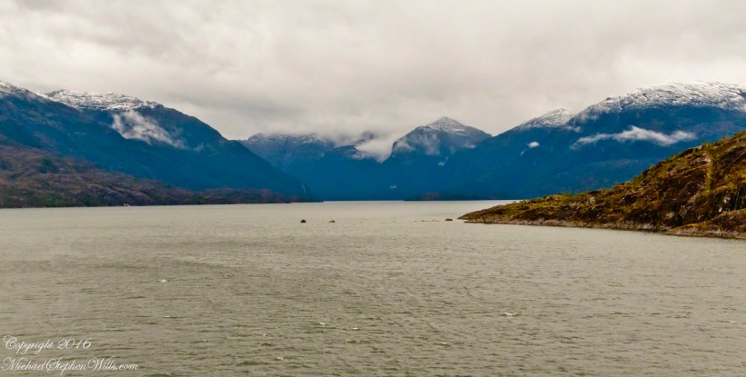
A photograph from our port side stateroom deck includes both the island and broad valley. The misshapen tree, the “bonsai”, is on an islet to the right and in front of the island. It is the small stump backlit by water reflection. The stump is more interesting than can be seen in this image from a handheld camera, at 24 mm. I used the variable lens for a closer look.
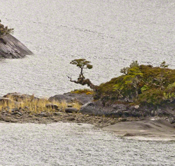
From this 133 mm, f8.0, 1/250 sec and ISO 800, still handheld, interesting details come into view. The islet is a rock on which clings a bed of moss. Several ferns, a sapling (on the far side) and a stump, on the right, are surviving. The stump presumably supported a small tree of which a “bonsai-like” twig remains.
Bonsai are fascinating, created through the art and skill of emulating pleasing natural forms. Here the moss encrusted twists and miniature tree crown were formed from a difficult environment. Bonsai of Japan originated from an ancient Chinese tradition of penjing (“tray plant”). The inspiration for this are, at origin and now, must be, in part, from admiration of the tenacity and beauty of these plants.
At the 200 mm maximum my Sony Alpha 770 (1/400, f9, ISO 800) image is a little fuzzy, still with great details.
From my interest in bonsai I am on the lookout for shapes such as this. Travelling the challenging environment of the Chilean Fjords I found examples here and there.
Click any photograph to visit my online gallery)
Copyright 2022 Michael Stephen Wills All Rights Reserved
4:00 pm local time the Oceania was approximately 5 miles from the Iceberg Glacier, moving forward at a slow rate of speed, 4.6 knots. Here are more views of the mountain-ringed bowl behind a 1,000 foot cliff.
Both photographs are handheld using my Sony Alpha700, ISO 800, variable lens set to 45mm, 1/250 f13. At the same time I shot from a tripod mounted Cannon, 24 mm wide angle fixed focus lens.
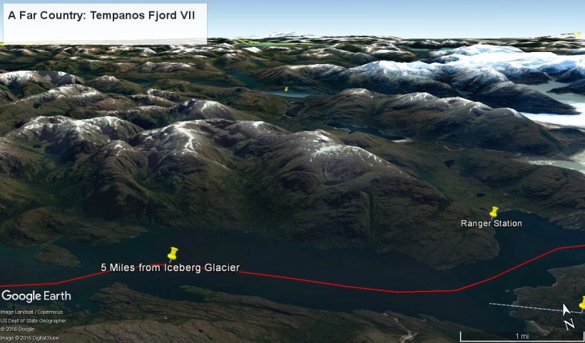
The following capture from Google Earth is the view from 12,200 feet. Regatta’s position is the “5 miles from Iceberg Glacier” pushpin. The formation is almost due north. We were surprised to see a ranger station in this uninhabited area, not yet in view. The white line, lower right, is the border between the Aisen (north) and Magellanic (south) Chilean regions.
(Click any photograph to visit my online gallery)
Copyright 2022 Michael Stephen Wills All Rights Reserved
By 3:20 pm local time the Oceania was approximately 1.75 miles from the Iceberg Glacier and the captain positioned the ship for a starboard side glacier view. From our port side stateroom terrace Pam and I had this sweeping view of the way we had come.
Tempanos Fjord is a mile across here and we have a clear view of the landslide scar feature in my last blog. It is 7.75 miles distant, a small white patch on the fjord wall. The landscape scar marks where the fjord bends, changing north, northeast course to an east, southeast direction. Before the bend, the Iceberg glacier is not visible. Turn the bend and the glacier is plainly visible in the distance if the viewer is looking over the ship bow.
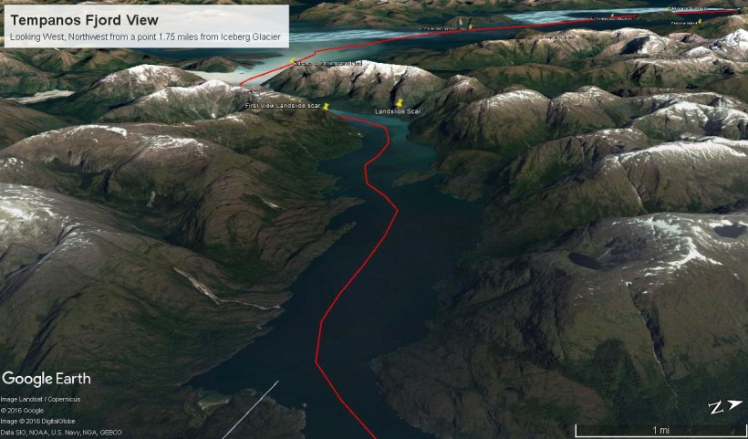
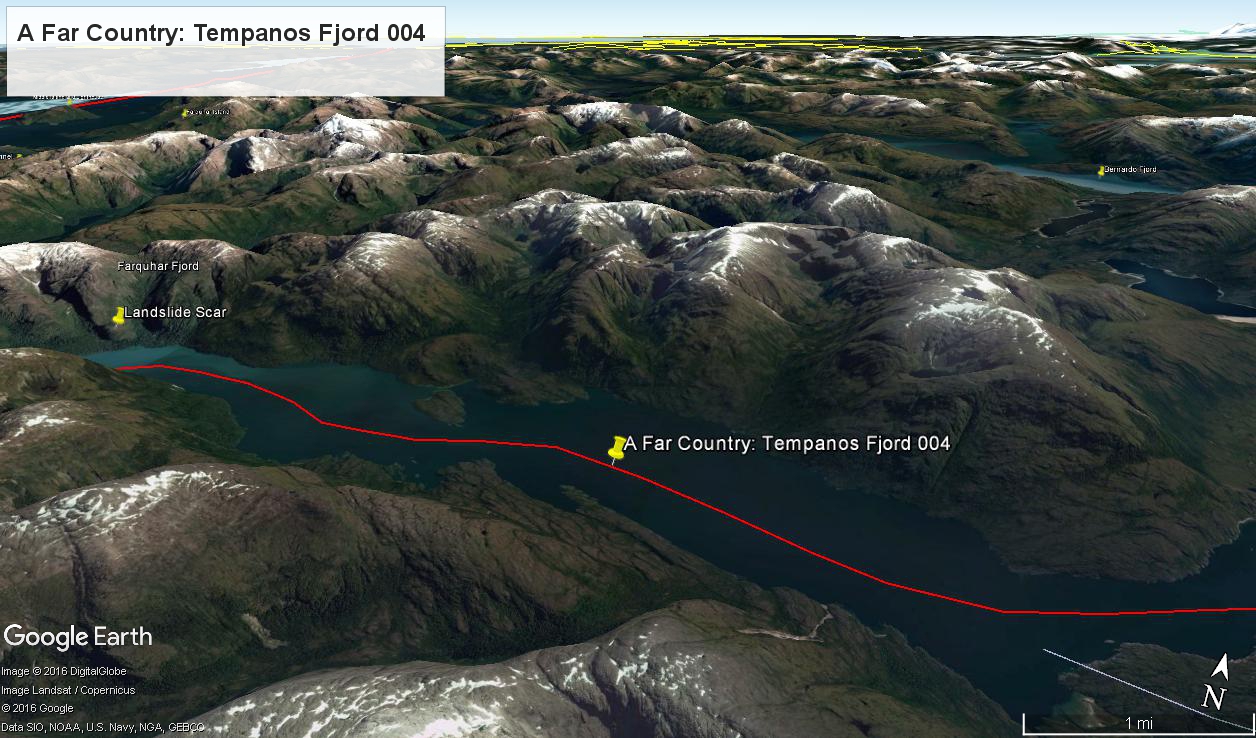
The following capture from Google Earth is the view from 14,000 feet. Marked are the locations of the landslide scar and the ship position were I first photographed the scar on our way into Tempanos Fjord. The red lined ship’s course may be followed out of the fjord back to the Messier Channel. The fjord follows a course among mountain peaks and deep valleys. A great pleasure of sailing Tempanos Fjord is the many vistas opening one to another.
(Click any photograph to visit my online gallery)
Copyright 2022 Michael Stephen Wills All Rights Reserved
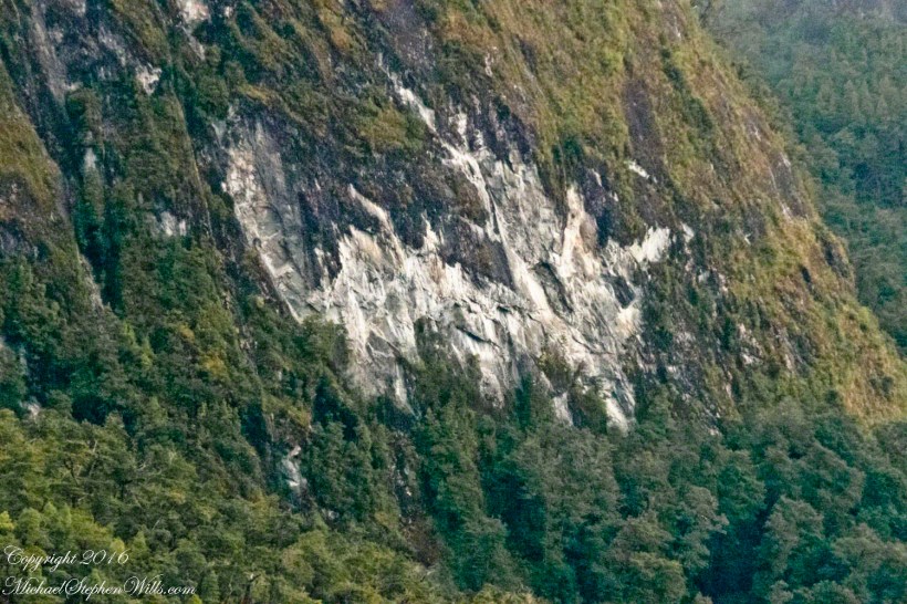
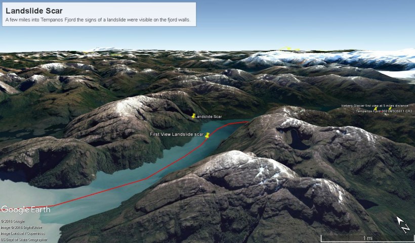
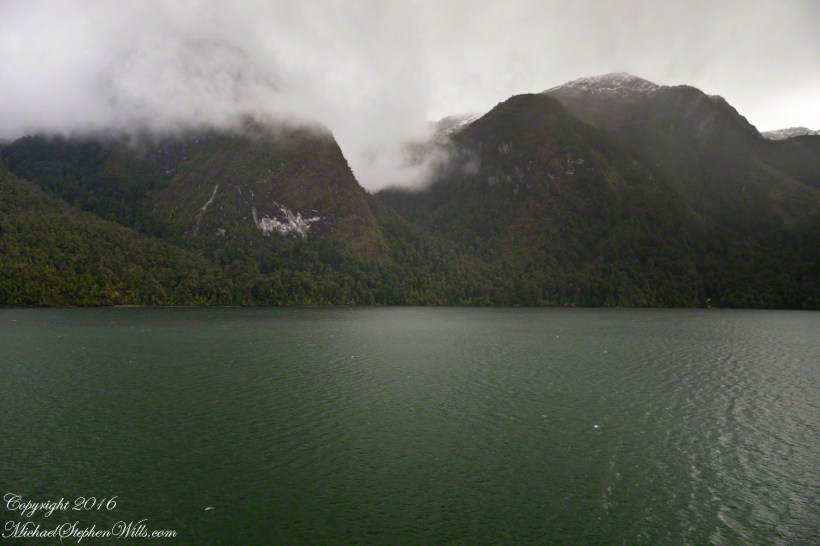
By 2:45 pm local time the Oceania was almost 4 miles into Tempanos Fjord, 10.5 miles from the Iceberg Glacier, when this telling gash on a mountain buttress forming the side of one of many glacial valleys.
Here is the Google Earth overview of our course that day through Tempanos Fjord, as the red line. Visible is the Farquhar Fjord, to the north. Marked is the position of the scar and the approximate position where I took the first view. Where the fjord bends to the southeast the glacier is not yet visible.
The scar, for all the rawness of the stone, is not recent. There was time for a forest to cover the destruction. The Oceania steamed past, making steady progress. The gash appeared ahead, unremarked. I wonder what the effect was after the cracks, slowly widened over decades by the ice, forced friction to give way to gravity, the mountainside sliding, perhaps, into the fjord. Hard to tell. There is no remnants of the slide visible.
All is larger than it first appears. Those are full size pines below the scar. It is the steepness of the cliff face that holds off the vegetation, the whiteness of the rock the source of the apparent freshness of the gash.
The mountainsides are threaded with waterfalls. Look closely to the left of the gash for a very thin line ending in a spray.
(Click any photograph to visit my online gallery)
TCopyright 2022 Michael Stephen Wills All Rights Reserved
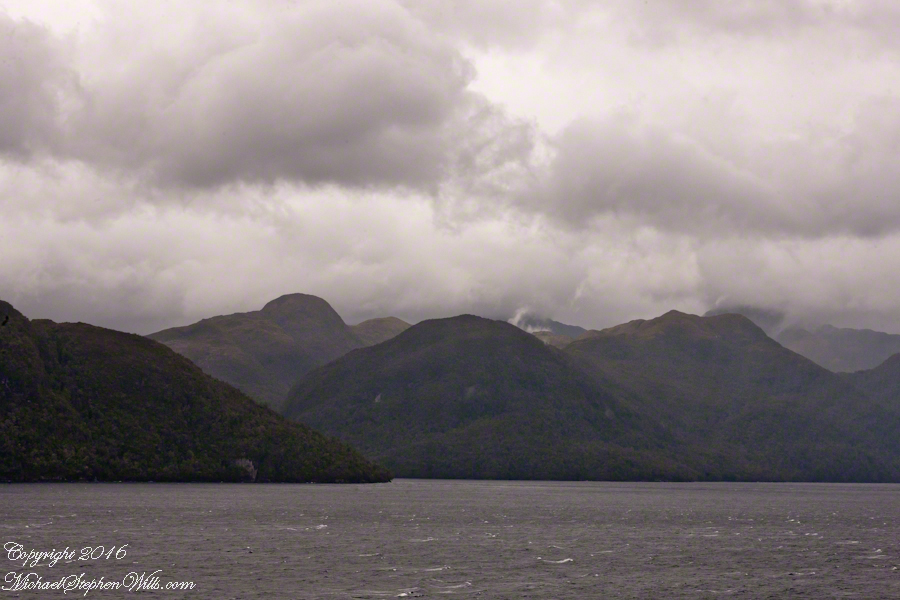
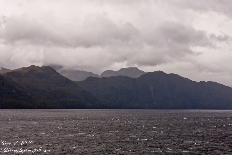
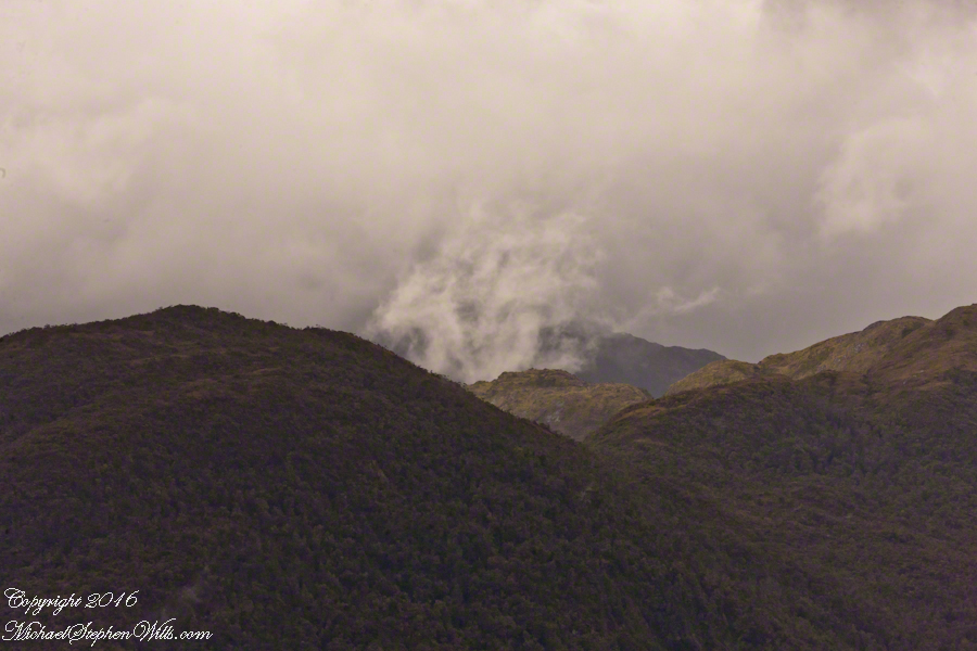
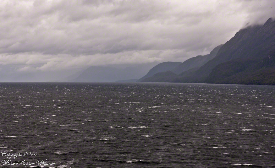
This is a view of the fjord countryside from the Oceania Regatta position about 4.75 miles from Iceberg Glacier . As the Regatta proceeded at the slow rate of 4.6 knots, I captured this high valley and waterfall from the position marked with the central pushpin in the following GoogleEarth image from 14,000 feet altitude.
Click any pic to visit my OnLine Gallery.
The following photograph is the view North. The far waterfalls are fed by two mountain top lakes, waters that feed into Tempanos Fjord. We are in the Chilean Aisen (also spelled Aysen) Region (XI) looking into a valley between Tempanos, Farquhar and Bernardo fjords. This island and valley has NO name, as far as I can tell. The region is uninhabited, part of the Bernardo O’Higgins National Park.
This was taken with a handheld Sony DSLR-A700, the variable lens at 200mm, 1/800 sec at f/13.
Copyright 2022 Michael Stephen Wills All Rights Reserved
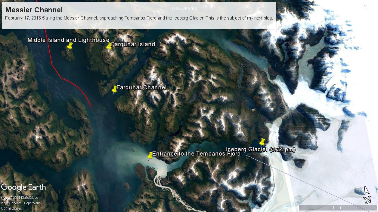
These photographs are most notable for the first sighting of the entrance to Fjord Tempanos and our day’s destination the Iceberg Glacier. At Middle Island Messier Channel is over 5 miles wide though studded with islets and navigational hazards. Here is a Google Earth map of the area with notable locations pinned with names. The red line is a ruler path from Sombrero Island.
In the previous blog, Orientation, Iceberg Glacier, February 17, 2016, you learned about the route the Oceania Regatta followed that day. We left off with photographs of Scout and Orlebar islands, the time was 12:43 pm Chilean Summer Time (daylight savings). The next photograph was time stamped 2:24 pm and, frankly, I had lost track of where we were, so it was necessary to determine the ship’s position.
Here is how to do it. From two known points, Sombrero Island at the northern end of Messier Channel and the Iceberg Glacier, our day’s destination, first a velocity from the total distance, in miles, (Google Earth) divided by the time duration (subtract time stamp of the starting from the final digital photograph and convert to minutes). This gives an average ship velocity in miles Using excel list the photographs with time stamps. For each photograph calculate the time from the starting photo, in minutes, and multiply this by the average velocity.
In this way, I determined the first photographs of this blog were Middle Island and obtained confirmation using Google Earth to view the location from ground level. The process is iterative in that the views showed the first calculated position to be behind the position matching the view.
This, I hypothesized, was because the ship velocity decreased on entering Tempanos Fjord. Noting a time gap between the last photograph of this blog and the next, taken within Tempanos Fjord. So, using Google Earth to establish the last photograph position, I recalculated velocity using that last position as the last time. Then, I recalculated the distances of the photographs and the calculated positions came into better agreement with the viewed positions. After Middle Island the ship slowed significantly in order to enter the fjord.
I still have opened questions because the calculated speed from Sombrero Island to Middle Island is 6 knots higher than the documented top speed of the Regatta.
52.02 miles from Sombrero Island. View NorthEast toward Middle Island, Farquhar Island behind.
The lighthouse of Middle Island is not in view. The channel between the islands is Brazo del Este.
View NorthEast toward the peaks of Farquhar Island Over the shoulder of Middle Island is Riches Bay of the farther island.
View NorthEast toward the peaks of Farquhar Island. Across from us, on Farquhar Island, the George River flow into Connor Cove which opens onto the channel named Brazo del Este. The channel separates the islands.
View east the steep cliffs of Farquhar Island rising abruptly from Messier Channel, to 3,200 feet in 2.7 miles.
Peaks of Farquhar Island. View east from Messier Channel using long lens. The island is named for Percival Farquhar, American entrepreneur active in South America, mostly Brazil and railroads, 1905 – 1930.
View north from mid-Messier Channel. Nearest on the right is Middle Island with lighthouse Farquhar Island behind with Palmer and Hens points. In the distance is Van Der Meulen island.
Farquhar Channel. View Northeast with Boxer Island, left foreground,Farquhar Island behind.
Tempanos Fjord. View Southeast with Estacion Point and Headland to left. Behind the headland is the entrance to Farquhar Fjord, not visible. Tempanos Fjord is framed by land on both sides.
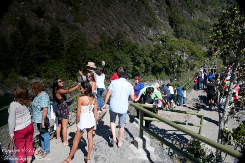
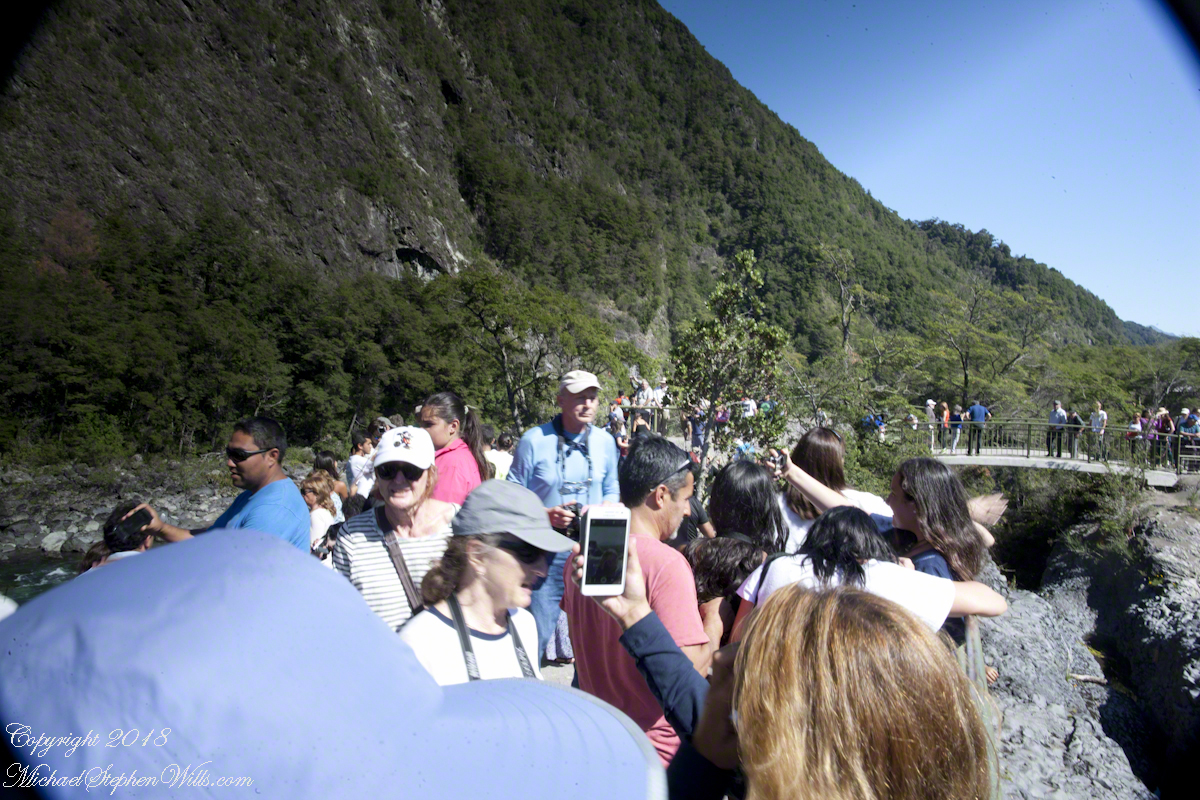
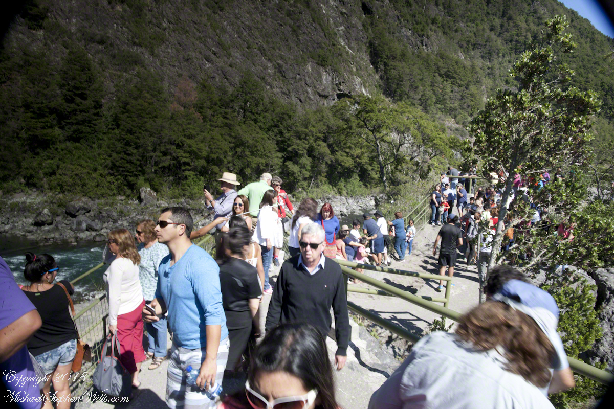
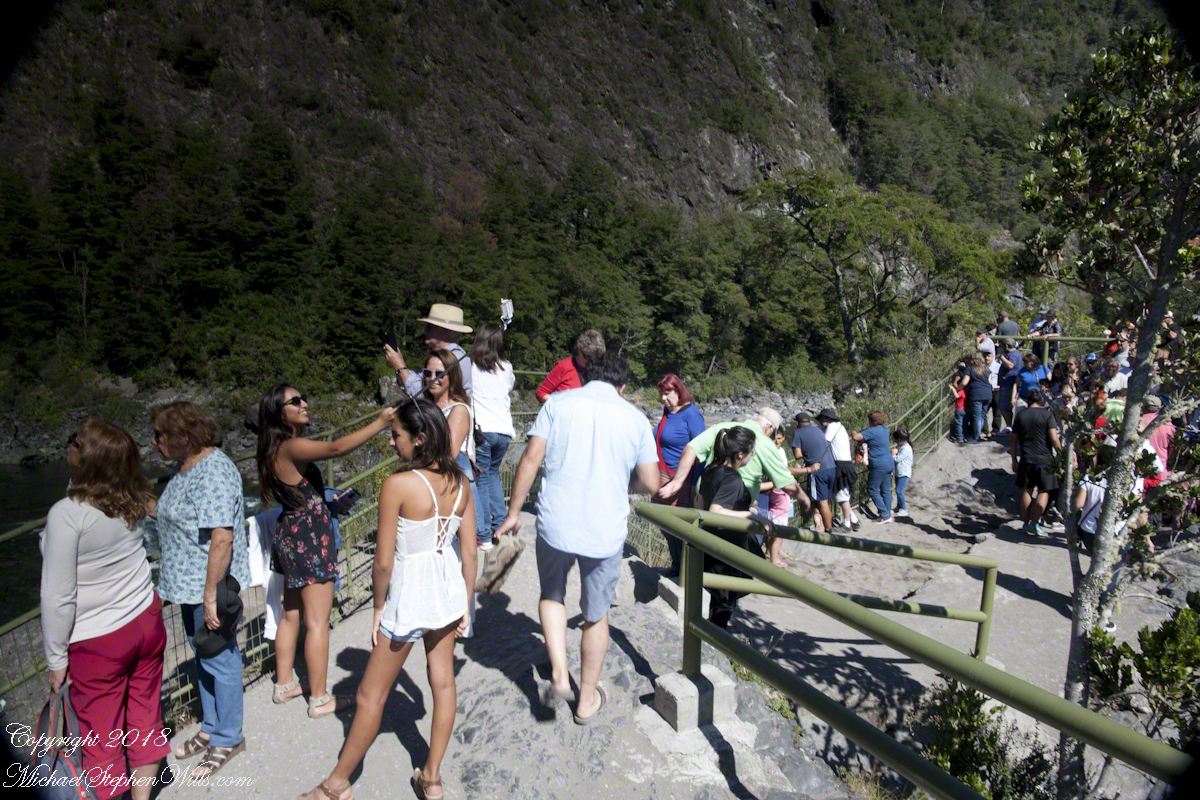
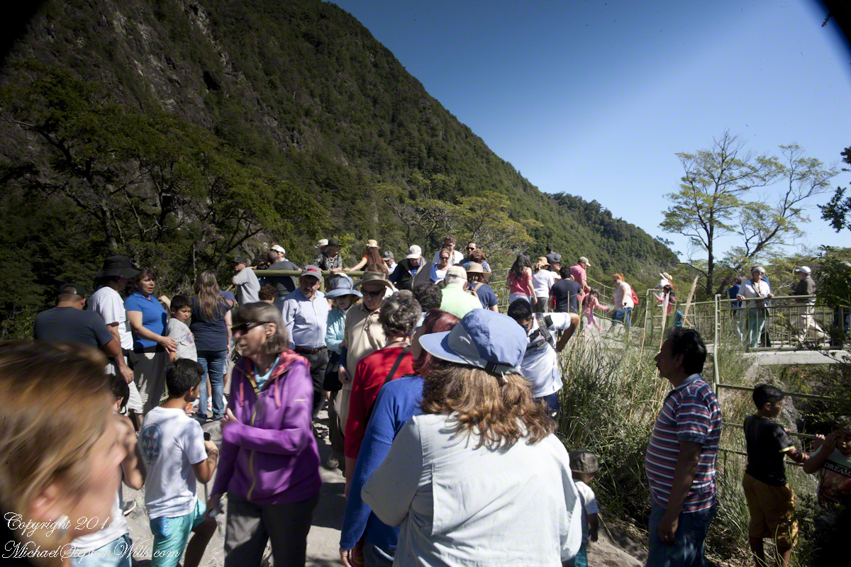
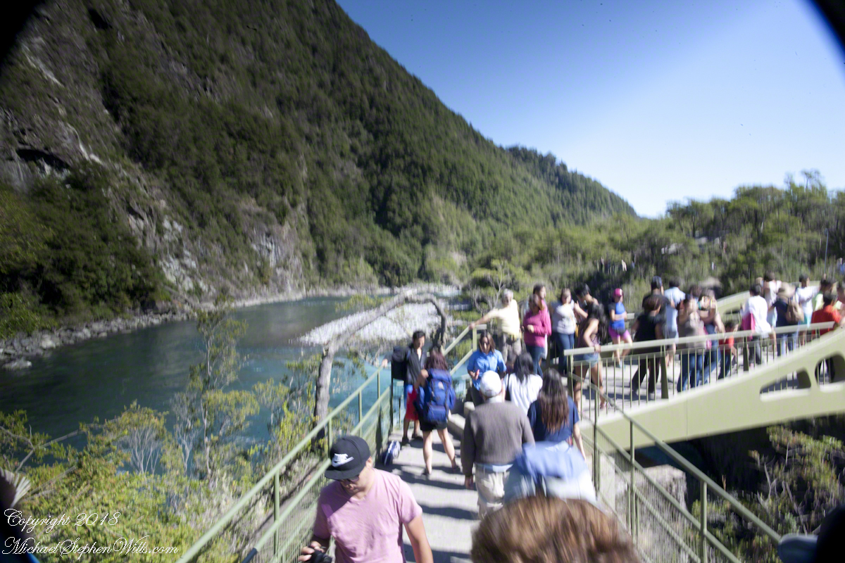
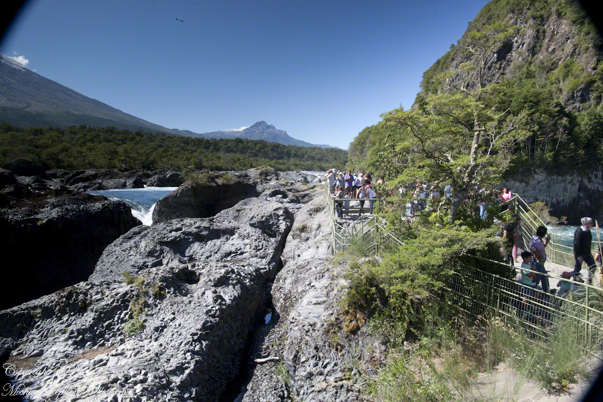
Petrohué Waterfalls are on the tourist track, traffic on the walkway was heavy on the southern hemisphere summer day, February 2016, of our visit. People were relaxed and friendly, the walkway well designed and safe. The wide angle lens was mounted on my Canon dslr, with a circular graduated neutral density filter. This is a filter with the upper third restrictive to light fading gradually to clear and mounted on a ring to rotated to cover the bright portion of the view. I used this successfully in the previous postings to obtain an exposure of the bright sky and darker land (for example, “Orsorno Volcano and Tourists.”). I could not resist capturing our fellow tourists. With a wide angle lens it is easy to do candid shots, such as the following. Most people are unaware of the capability of the 24 mm wide angle lens.
Click any photograph for a larger view.
Unfortunately, in the rush of the crowd and moment the dual use of a configuration for landscape and (candid) street photography lead to mistakes. I did not have the lens hood attached correctly, you can see the hood in each corner. Then there is the circular, graduated filter. In the above photograph, the shaded portion runs across the lower left to the upper right. The subject is watching me photograph the water.
Here, I turned around from photographing the Orsorno Volcano to capture these selfie fans leaning against the railing to capture themselves and the volcano through they are in the minority. The trail is a “dead end”, rising to the point above the falls, where I am standing.
Selfie Stick
We started back down towards the point over the incredible emerald green water. There were three teenagers having fun with a selfie stick. Around them are people entranced by the water, as we werel.
Smile!! You’re on Candid Camera
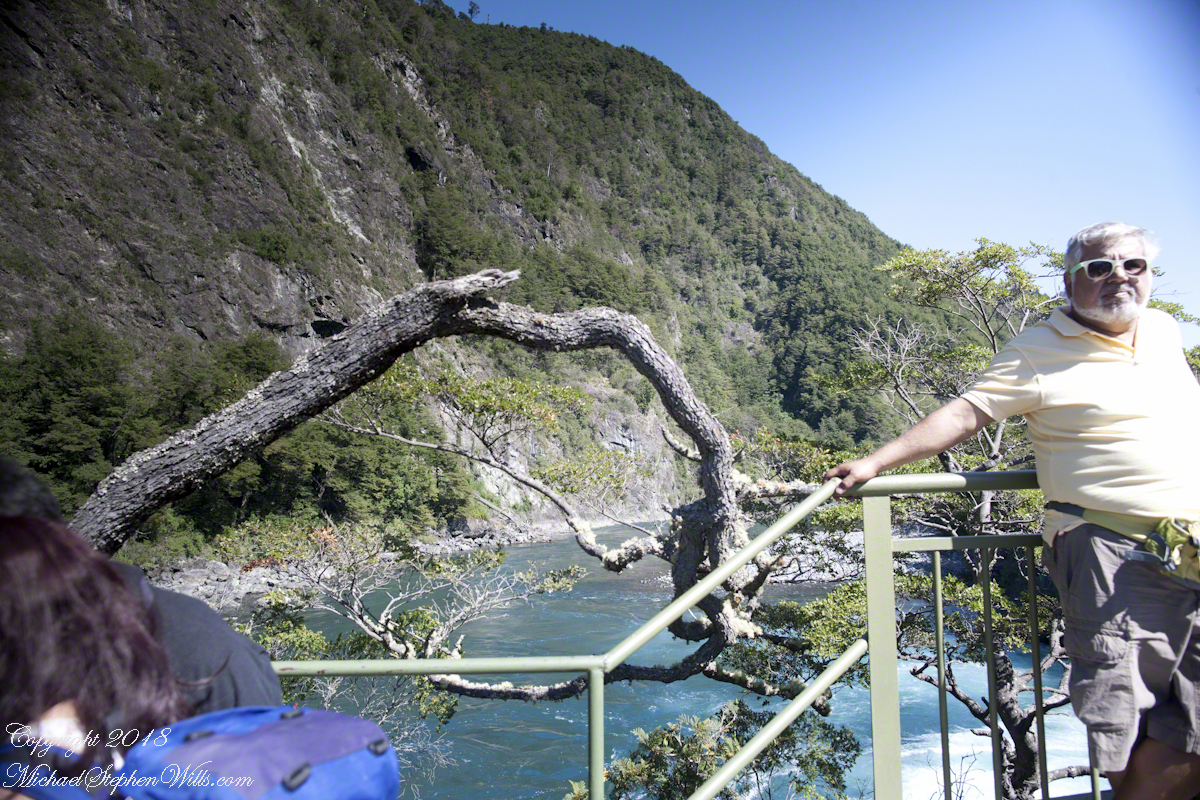
Headed back, I thought that curving tree was a good subject. Turned out, a fellow tourist heightened the interest of the shot. You see him, leaning against the railing next to the tree in the mid-distance of the following shot.
Here I am, looking back toward the child of Orsorno and the entire length of the observation walkway filled with people.
Copyright 2021 All Rights Reserved Michael Stephen Wills