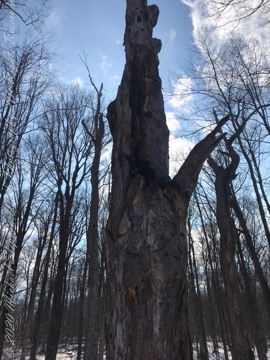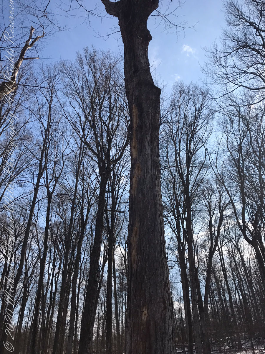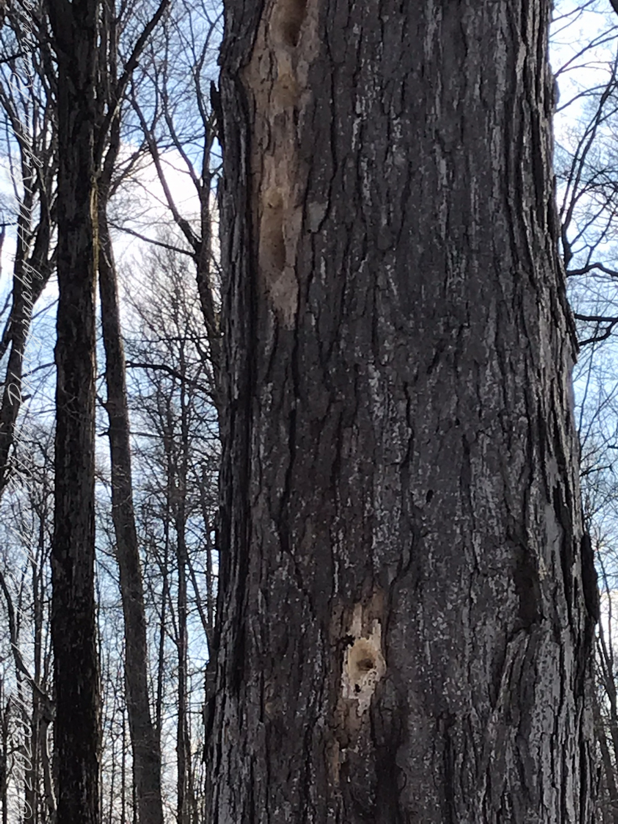
Brock-Harvey Forest Preserve

first look

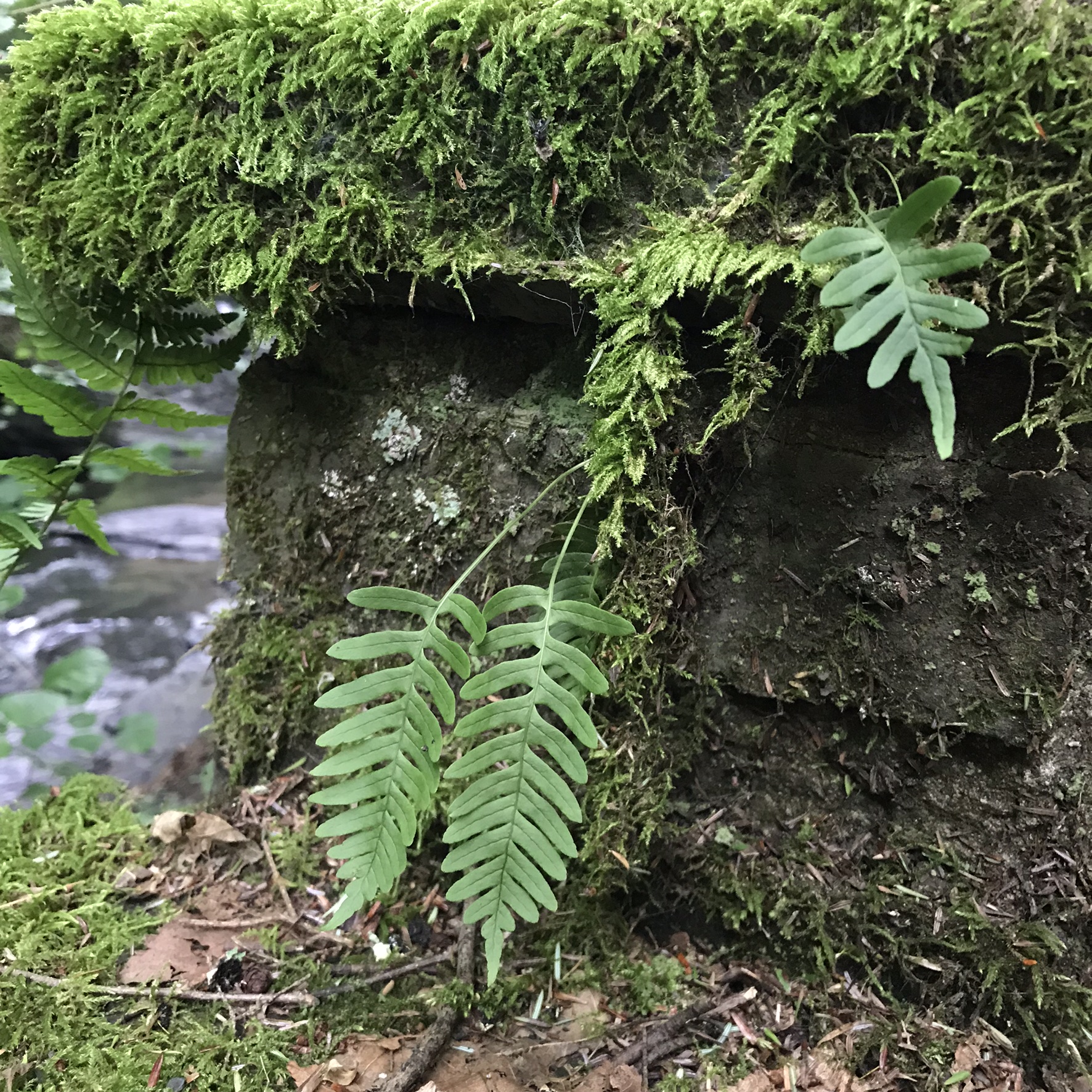
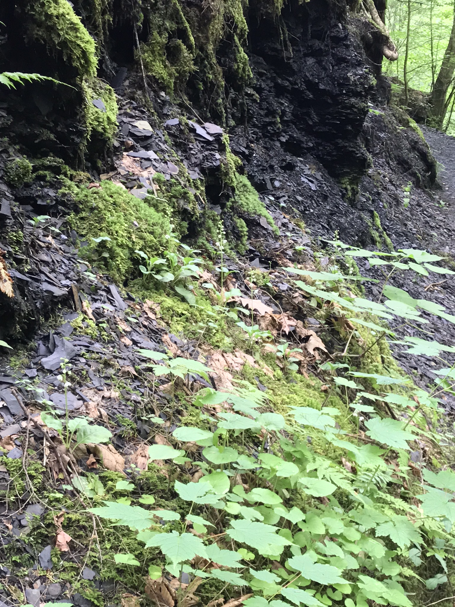
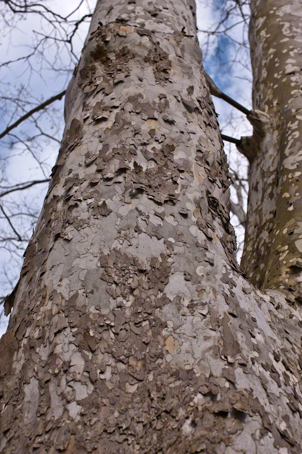
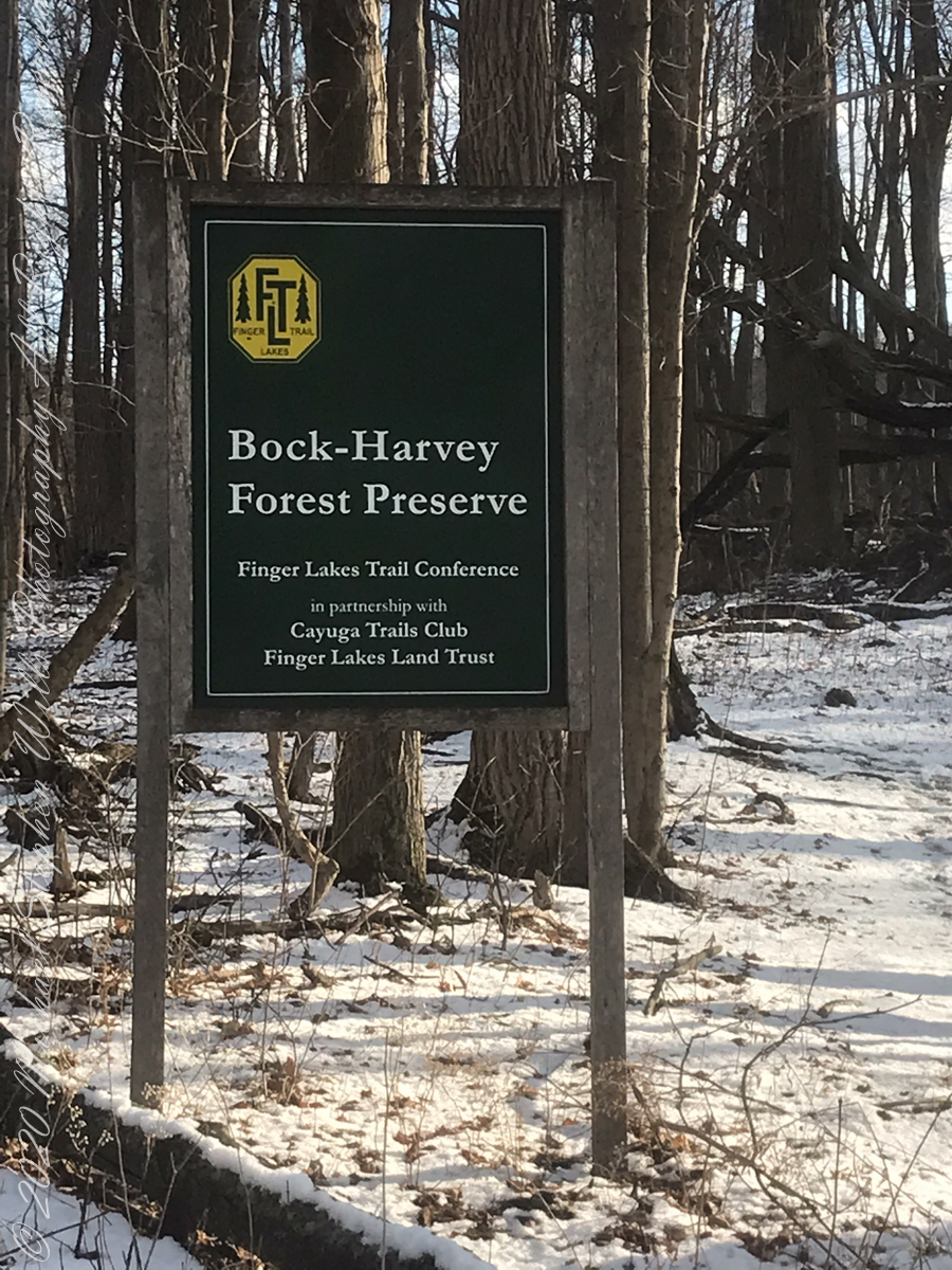
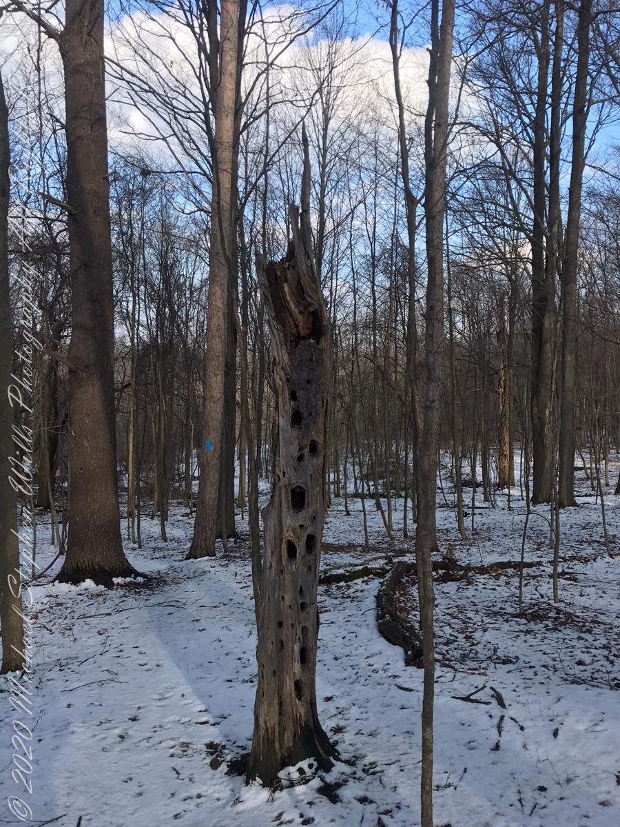
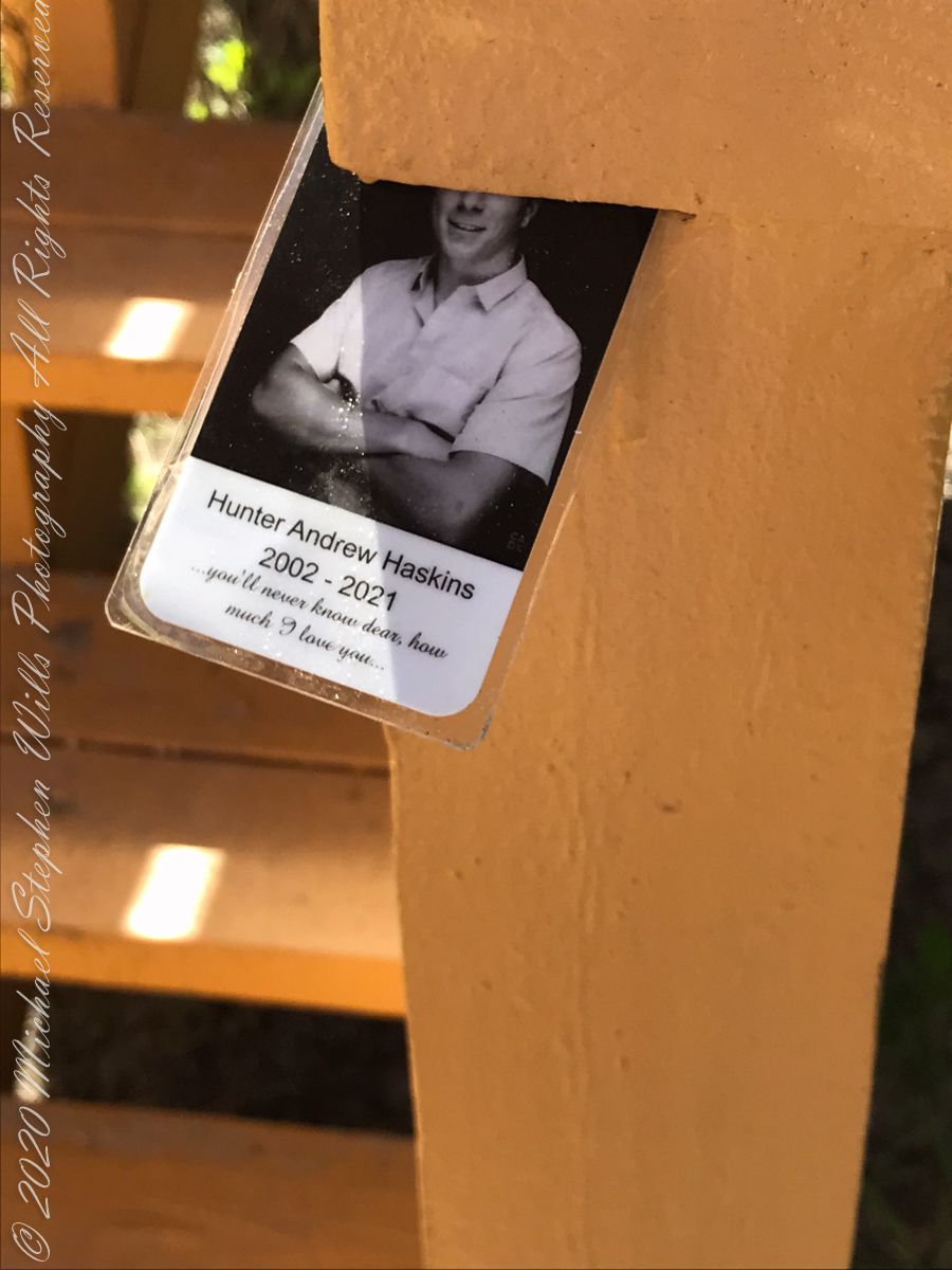
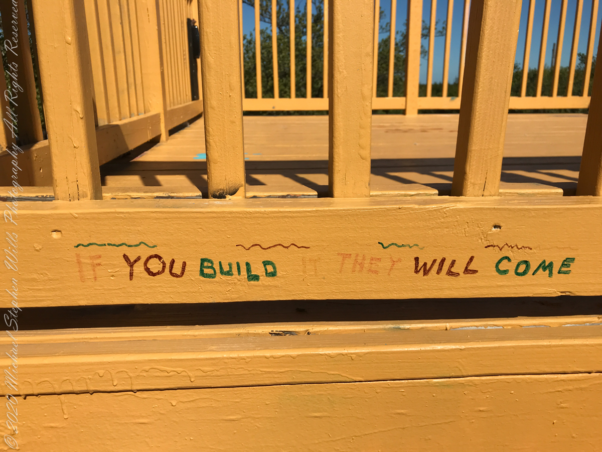
On September 14, 2013, the Bock-Harvey Forest Preserve was dedicated protecting 48 acrea of open meadow, transitional meadow, mixed hardwood forest, a special environmental protection zone and the Finger Lakes Trail.  Brock-Harvey Forest Preserve, and all land as far as the eye can see from there, was part of the Military Tract of Central New York, 28 townships given classical Greek and Roman names, each township 100 lots of 600 acres each, approved by the U.S. Congress 1799.  Here, the township was Ulysses, encompassing the southern end of Cayuga Lake and surrounding lands.  Thus, the city of Ithaca and Hector Street winding up from the valley passing below our home.

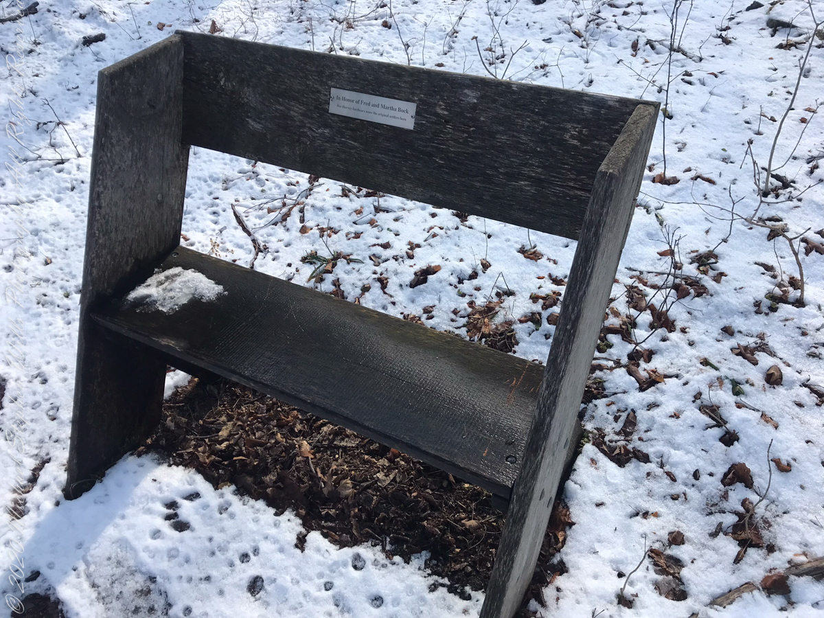
This land and several other military tracts were purchased by Samuel Harvey.  He then gave he lands to his sons including this farm to Silas Harvey, the great-great-great-great grandfather of Megan Barber who led the dedication ceremony of the forest preserve.  Megan’s great-grandmother Martha Harvey married Fred Bock and lived on this land used for dairy farming for over 150 years. 

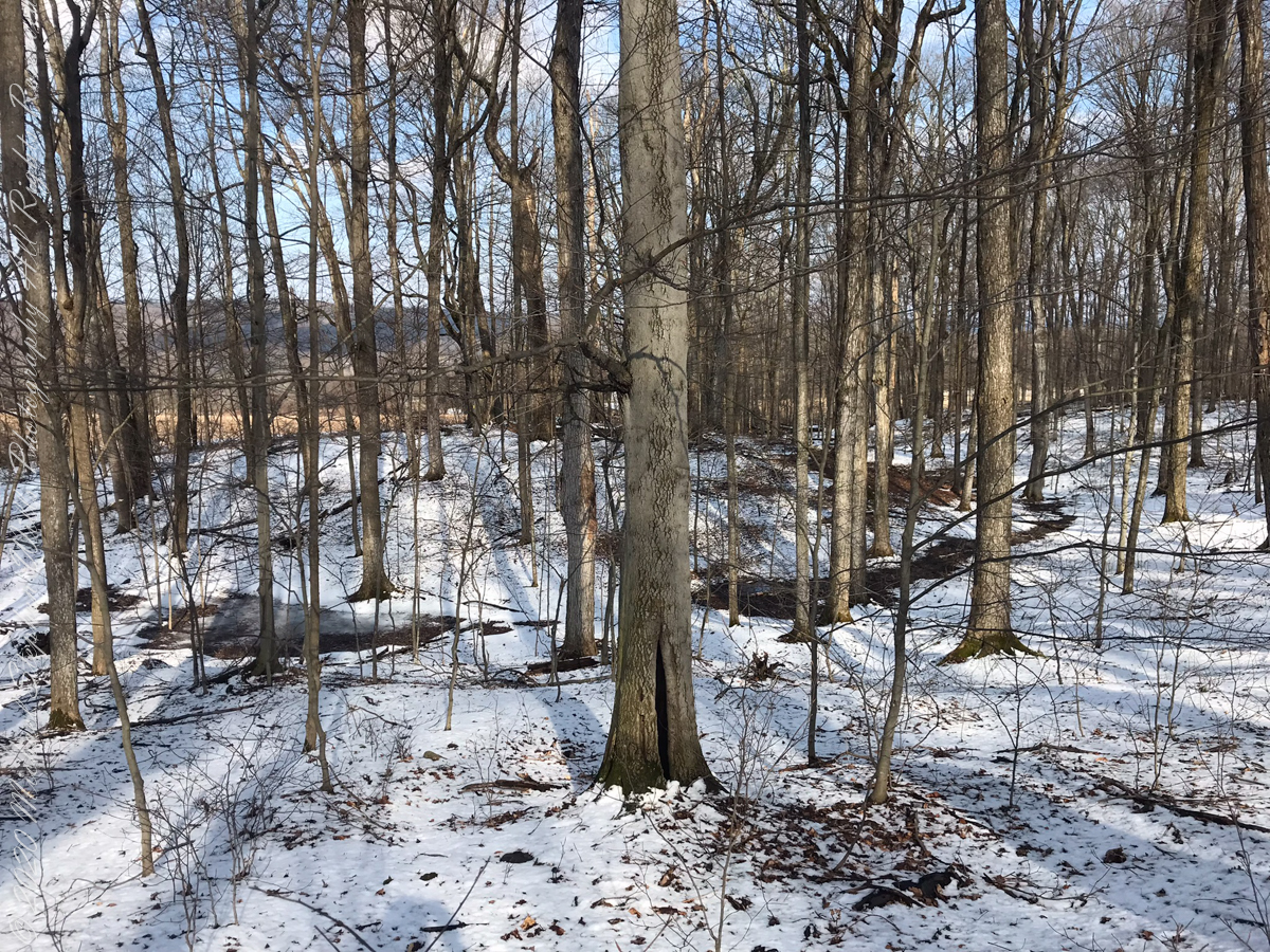
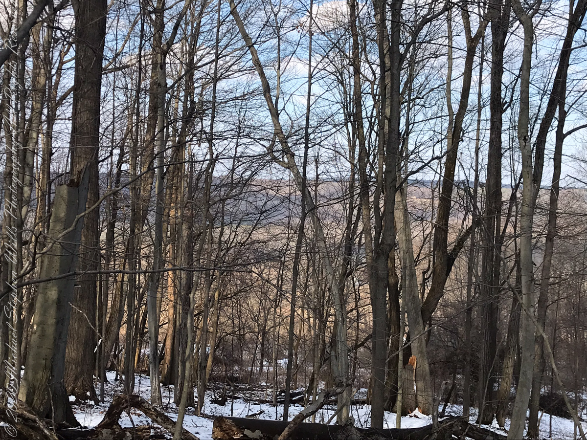
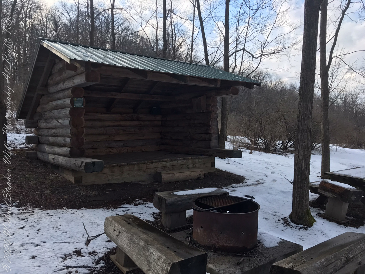
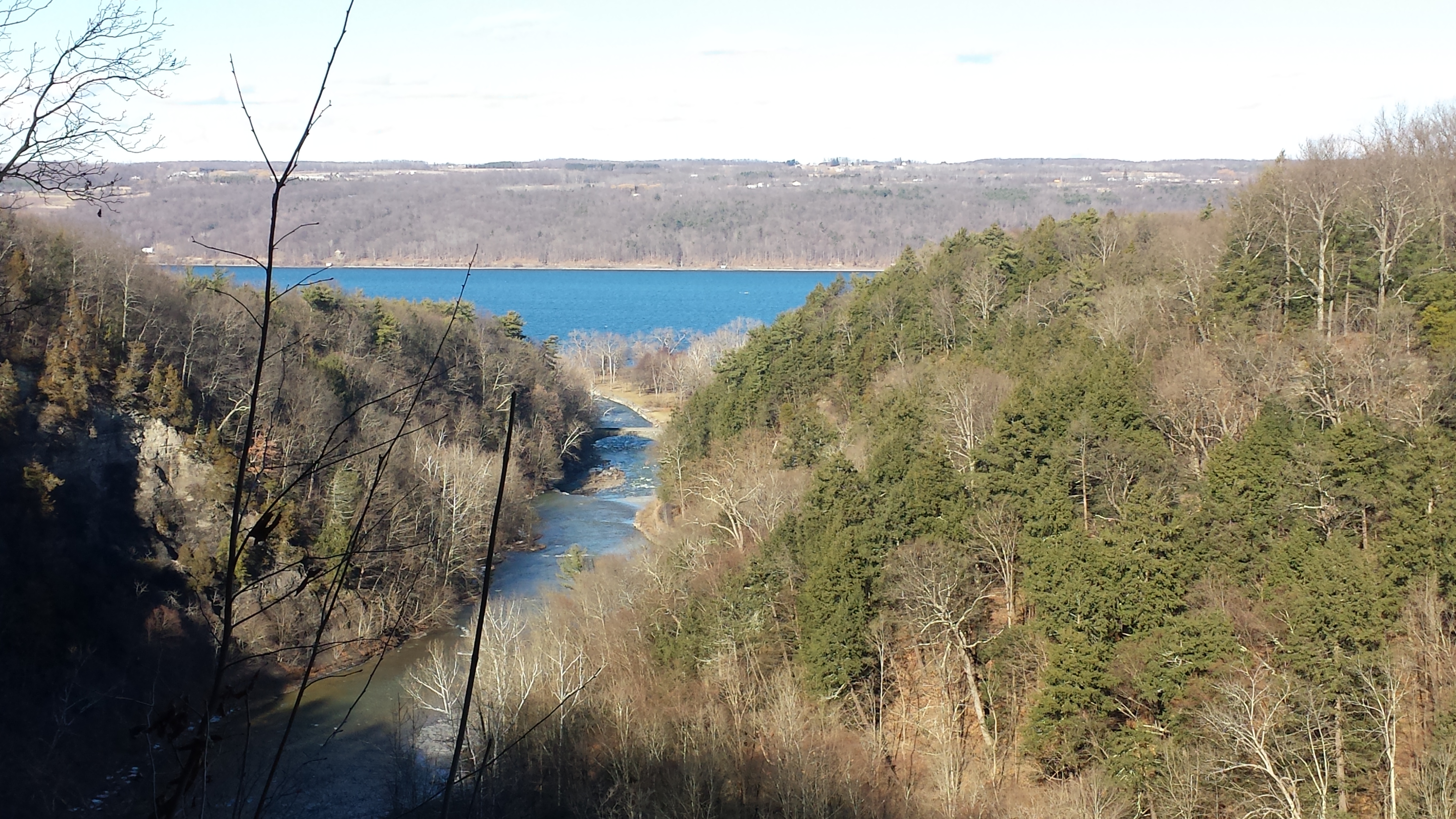
The preserve exceeded my expectations for great upland views.

View from Shelter across the valley of Enfield Creek, the same that flows over Lucifer Falls of Treman State Park

Brock-Click me for another Brock-Harvey Forest Preserve post, “Burgeoning Forest.”

References

The background on the land was taken from a posting on the preserve and from Wikipedia, “Military Tract of Central New York.”

Copyright 2022 Michael Stephen Wills All Rights Reserved

Saint Patrick’s Return to Ireland

Thoughts on the Fifth Century return of Saint Patrick to Ireland

In follow-up to my last post my IStock photograph of Saint Patrick on the Hill of Tara was accepted and is available for viewing (click the link to go there).

Since July 2008 a sea generation tidal turban, “SeaGen”, produces electricity (1.2 MW) for between 18 and 20 hours a day while the tide is forced in and out of Strangeford Lough through the Narrows where the generator is installed. The first large scale commercial production of electricity from the tide, “SeaGen” is located between the Northern Ireland towns of Strangeford and Portaferry, the strength of the tides there were used by the earliest tidal mill known, the Nendrum Monastery mill dating 787 based on archeological excavation.

History records Patrick converted the island of Erin (Ireland) to Christianity in the Fifth Century AD as a return to his place of captivity and slavery.

Saint Patrick legend, Down Cathedral
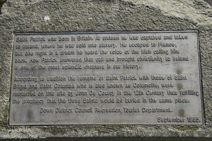
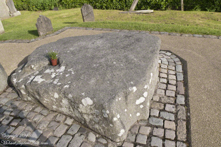
An informational plaque mounted on granite next to the grave of Saint Patrick.

There is a connection between “SeaGen” and the return of Patrick to Ireland. The first sanctuary dedicated by Patrick was at Saul, County Down not far from River Quoile that drains into Strangeford Lough. Historians identify Patrick’s first landing site, upon return, as Wicklow where he was forced to leave by the locals. Heading north in the boats of the time, the strong tide of Strangeford Narrows pulled them into the Lough and, from there, headed up the River Quoile to encounter the local chieftain, Díchu mac Trichim. Patrick’s first Irish convert to Christianity, the feast of Saint Dichu is April 29.

On June 7, 2014 Pam and I visited this area. Here are some photographs of the traditional burial place of Saint Patrick.

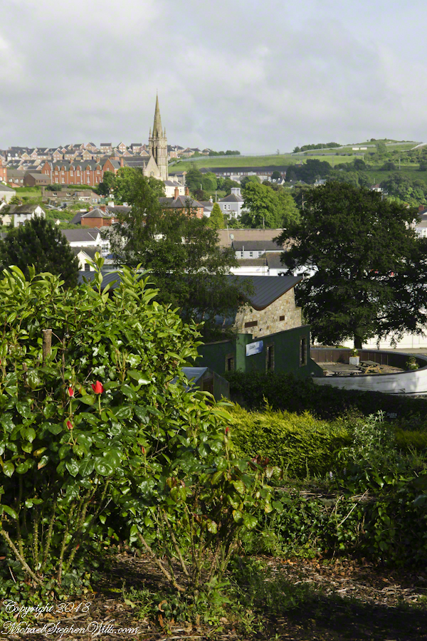
View of Downpatrick
View of Downpatrick from the hill of the Cathedral Church of Holy Trinity (Down Cathedral)
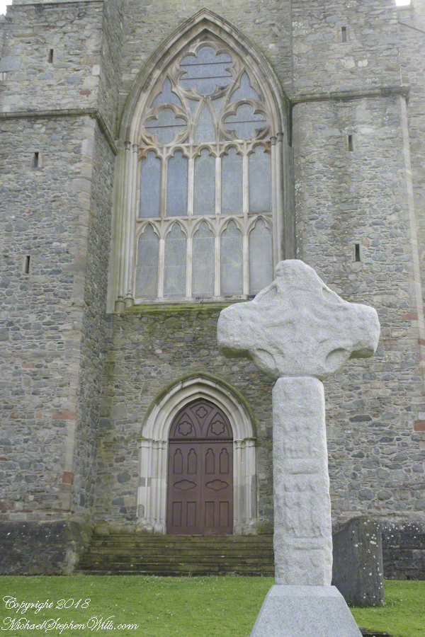
Downpatrick High Cross
The High Cross of Downpatrick fronts Down Cathedral on a hill overlooking the town. The informational placard reads
“The granite head and shaft date to about 900 AD and were once re-used as part of a Market Cross at the bottom of English Street. The pieces were found in various places in town, reassembled and presented to the Dean and Chapter of the Cathedral in 1897.”
St Patrick's Grave
The placard text reads:
“A large memorial stone of Mourne granite was place here in 1900 to mark the traditional burial-place of St. Patrick. The stone was quarried at Slieve-na-largie near Castlewellan, and it took 12 men 14 days to cut from the quarry.”
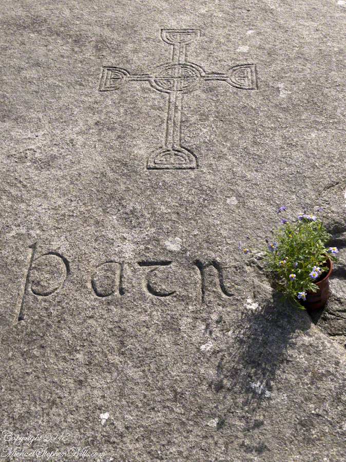
Inscription, St Patrick Grave
Inscription on the upper surface of stone marking grave of Saint Patrick.

Please browse my reasonably priced stock photography. License a photograph, download and use it for your website or blog. Click this link to browse all my Getty IStock Photography offerings.

Or click this link or any photograph or this link to select a print with custom framing from my “Ireland” Fine Art Gallery.

Copyright 2018 Michael Stephen Wills All Rights Reserved

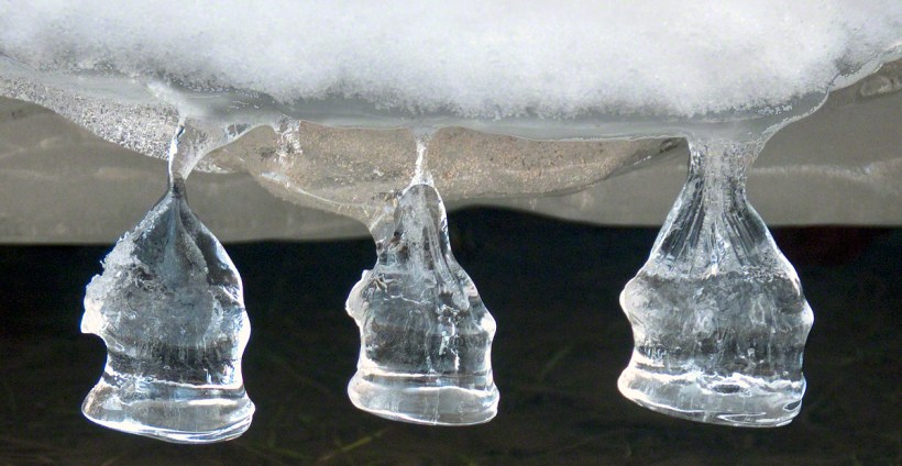
Ice Bells on Fall Creek

from multiple thaw-freeze cycles

Captured outside our former Malloryville home on Fall Creek of the Finger Lakes Region of New York.

I used a Canon 100mm “macro” lens.

SONY DSC

Cheers on this January morning.

Click this link to check out “Ice Bells” on my Fine Art Photography gallery.

The Thaw at Taughannock Falls

A Friday Evening Stroll through a February Thaw

Pam and I were drawn outside the day after Valentine’s a bit of sun, an unreliable warm breeze, a promise of exercise. Our expectations were disappointed for all but the last at the foot of the Taughannock Falls gorge trail.

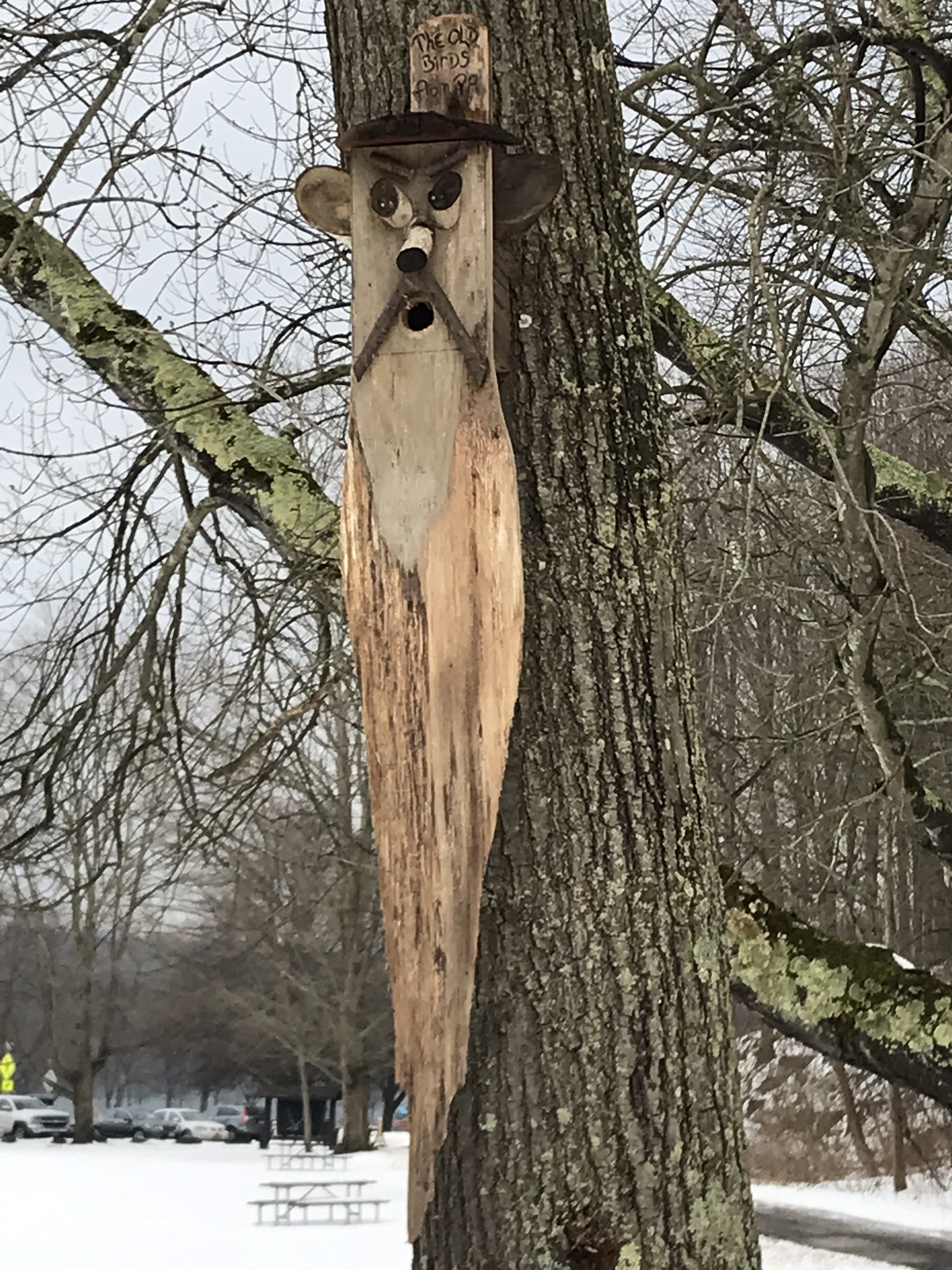
We had a reminder mid-February marks the start of avian mating behavior with this addition to the view from Taughannock Creek, the first large waterfall. For the cold, drizzly excursion I chose the IPhone, in a waterproof case, for the images. The fanicful birdhouse inscription reads “The Old Birds from Pa.”

Click the photograph for my “Finger Lakes Memories” Online gallery.

The winding gorge takes a general east, southeasterly direction. Where the sun cannot reach the snow was reduced to a treacherous slushy ice mix more nasty than dangerous.

View from the Overlook on the way to the trail. This is the endpoint of our hike, viewed from the gorge rim.

Of all the area hiking experiences, Taughannock Gorge Trail is the only one available year round. The gorge is wide with enough room for the footpath to avoid the cliff edge. Today, there were places were ice formations were throwing large ice chunks down the slope. The park ranges place tree trunks along the cliff base, with warning signs to stay away. Still, there are visitors who stray too close with fatal outcomes reported by local news.

Pam was fascinated by the appearance of snow and ice accumulated on the talus, here seen from the Taughannock Falls viewing bridge.

Click photograph for my “Finger Lakes Memories” online gallery. Photo by Pam.

You can just pick out the viewing bridge in the Falls Overlook video.

Click photograph for my “Finger Lakes Memories” Online Gallery.
Photo by Pam.

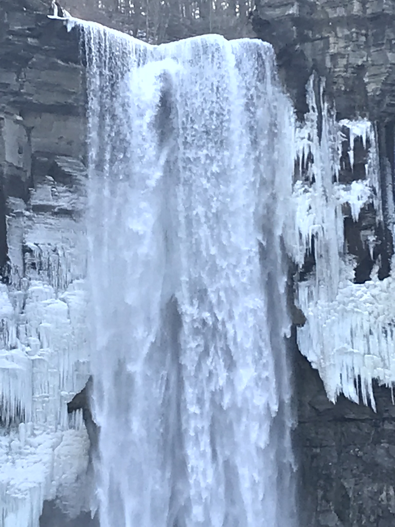
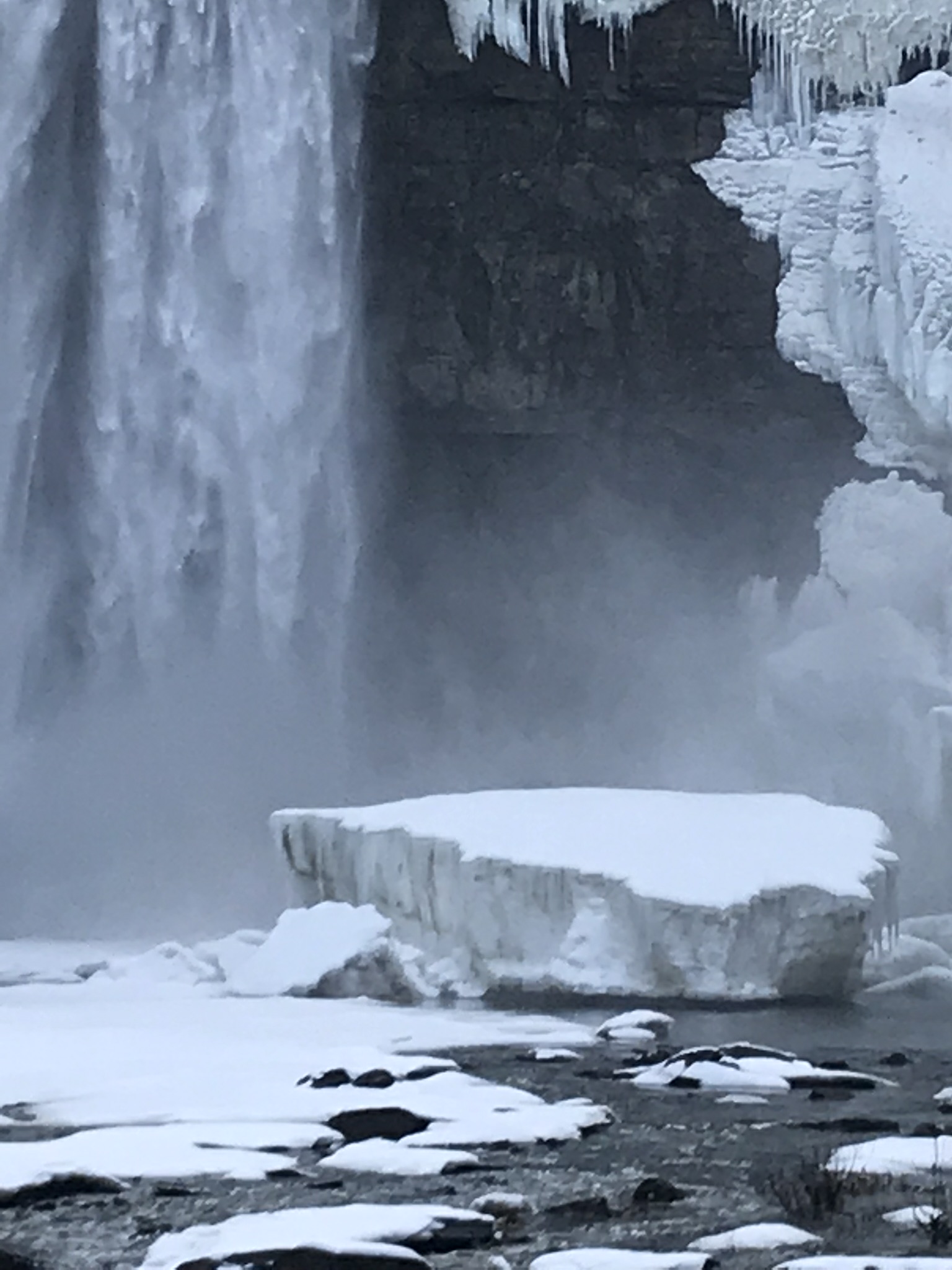
Taughannock Falls bound by ice is a most dramatic sight. I need to post photographs from a 2005 visit during an especially frigid February. Here, the falls have thrown off the ice, leaving this house-size chunk.

Click photograph for my “Finger Lakes Memories” Online Gallery

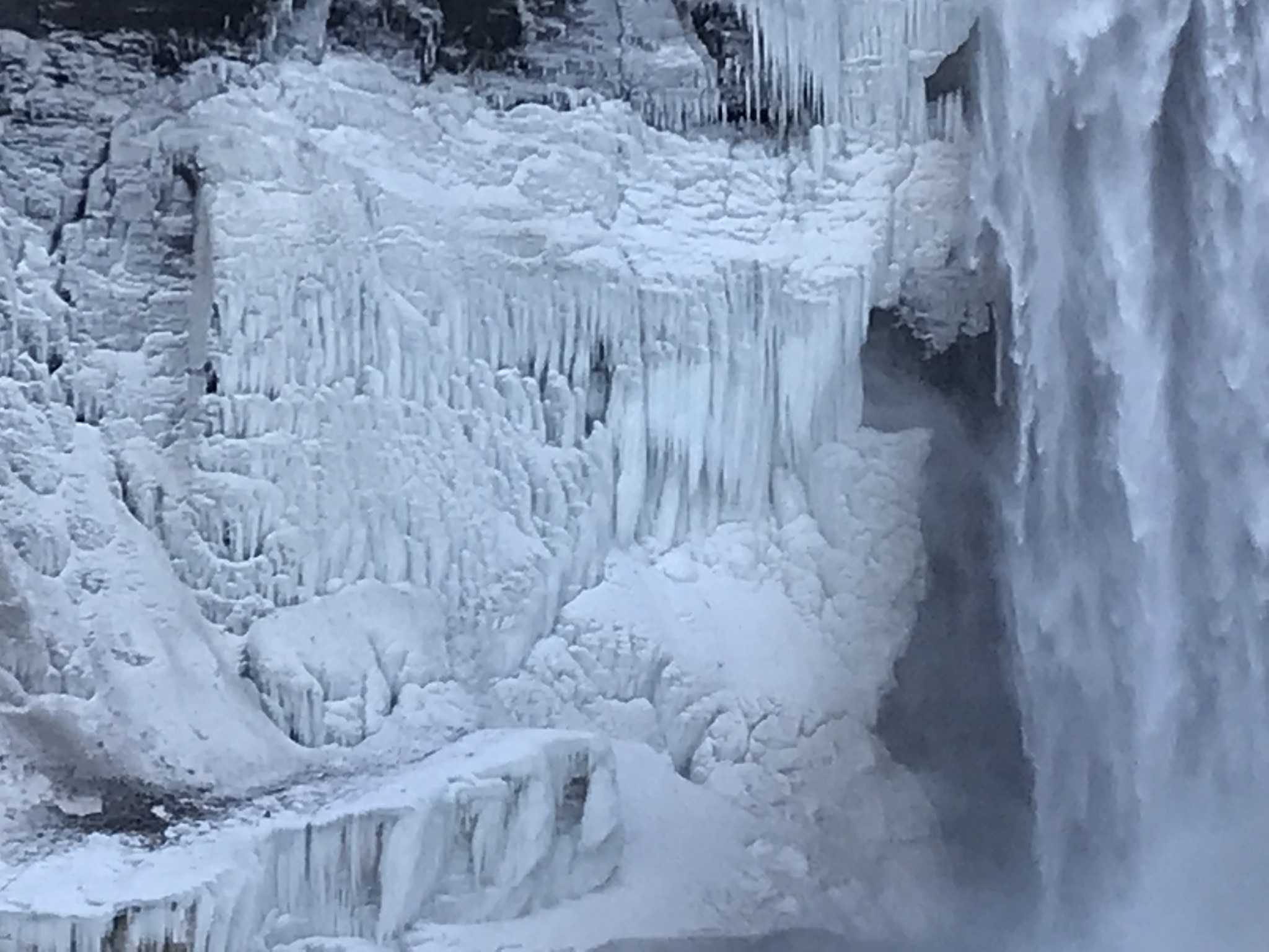
The surrounding gorge walls are continually frost coated by the mist.

Click the photograph for my “Finger Lakes Memories” Online Gallery
210 foot Taughannock Falls from the viewing bridge.

In more clement seasons the Gorge Trail ends much closer to the falls. Today, it was closed as, during winter and especially thaws, blocks of the sandstone cap break away to fall with great force across that part of the trail. This viewing area is visible in the Falls Overlook video.

Winter Captures

two captures during a time of lengthening days to welcome March 2022

Here are two offerings from winters past.

Late In the Day
Small Break Against the North Wind

Click this link for my Fine Art Gallery

Ulumay Wildlife Sanctuary

Brevard County Park on Merrit Island

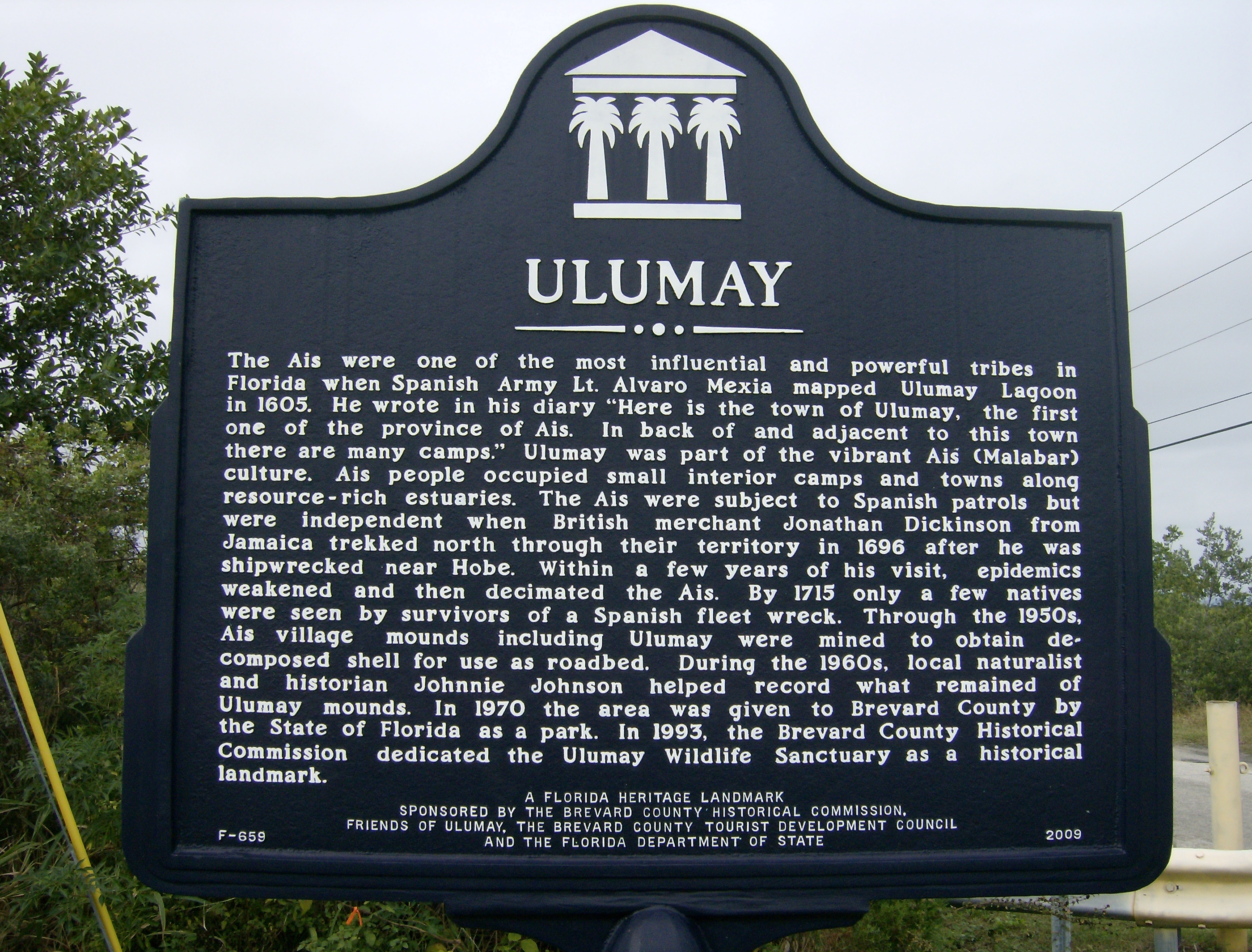
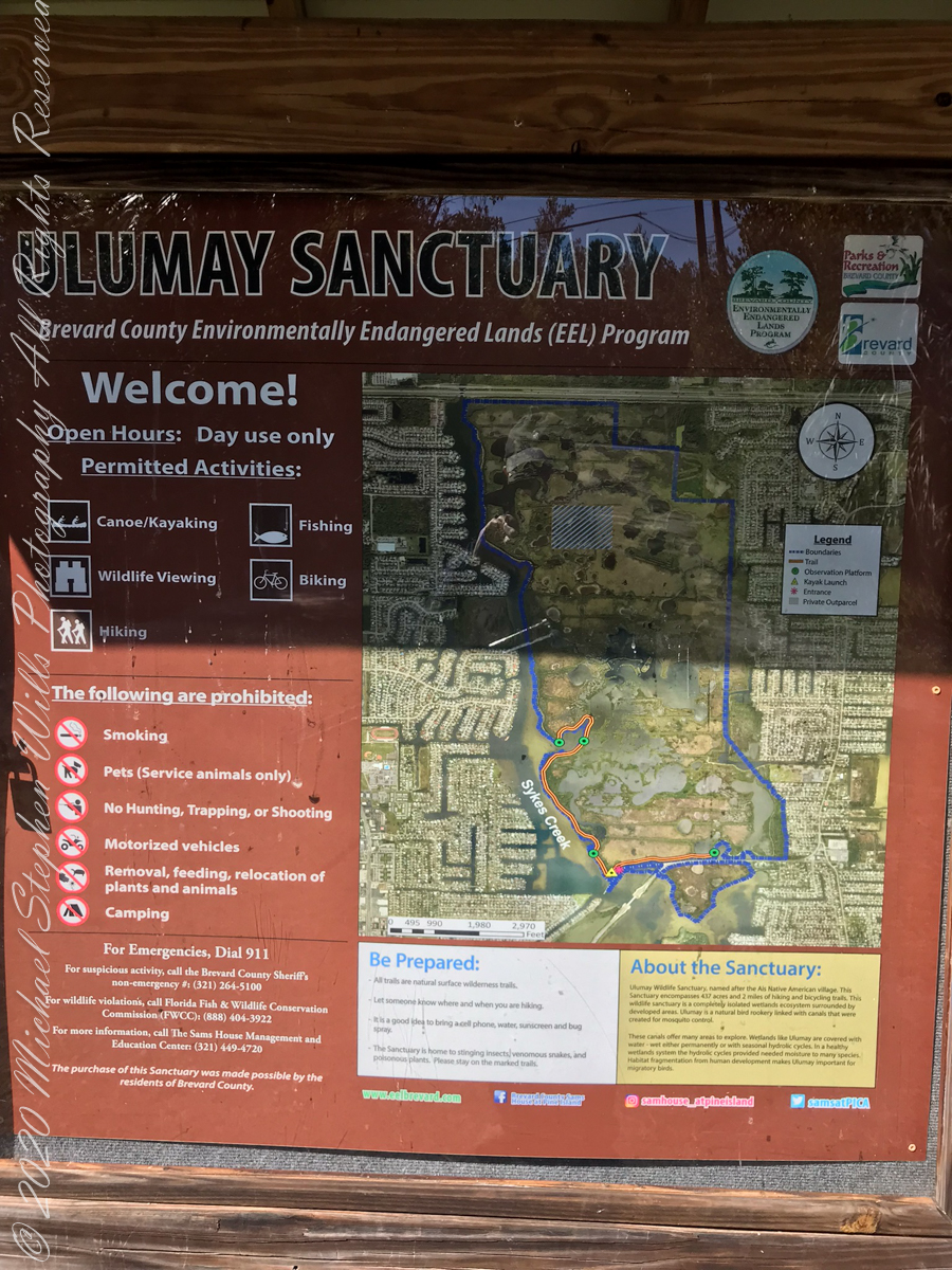
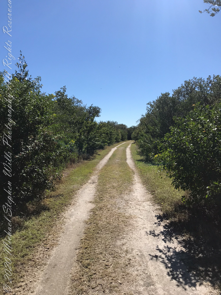
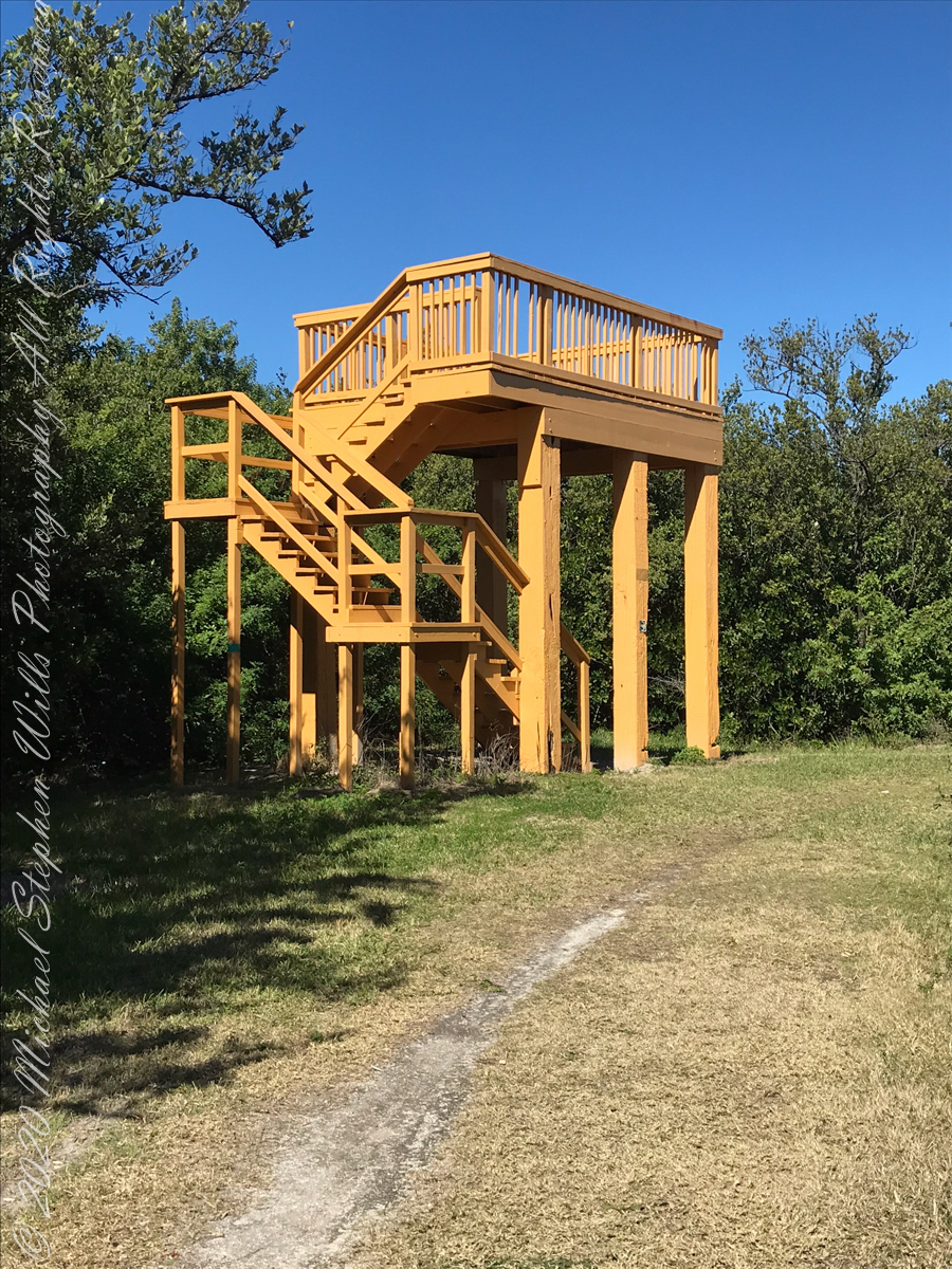
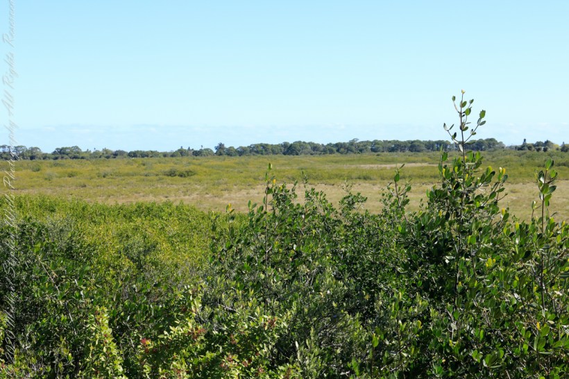
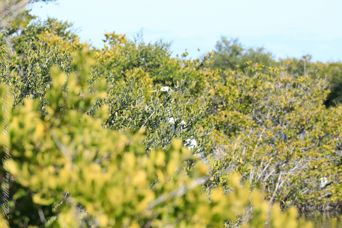
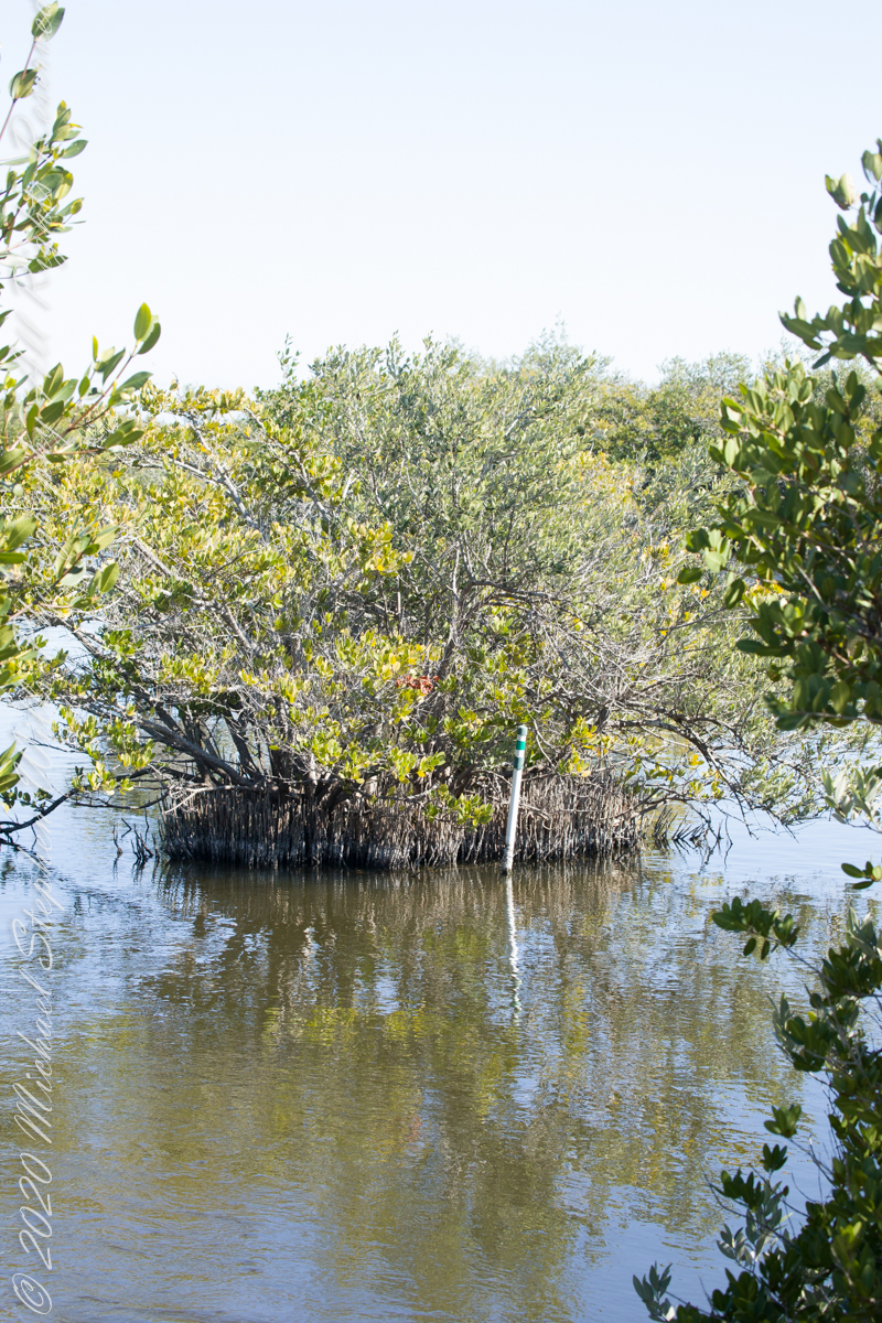
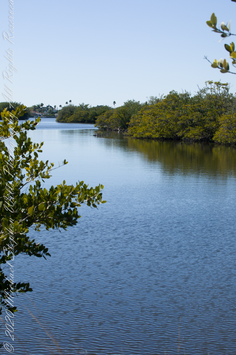
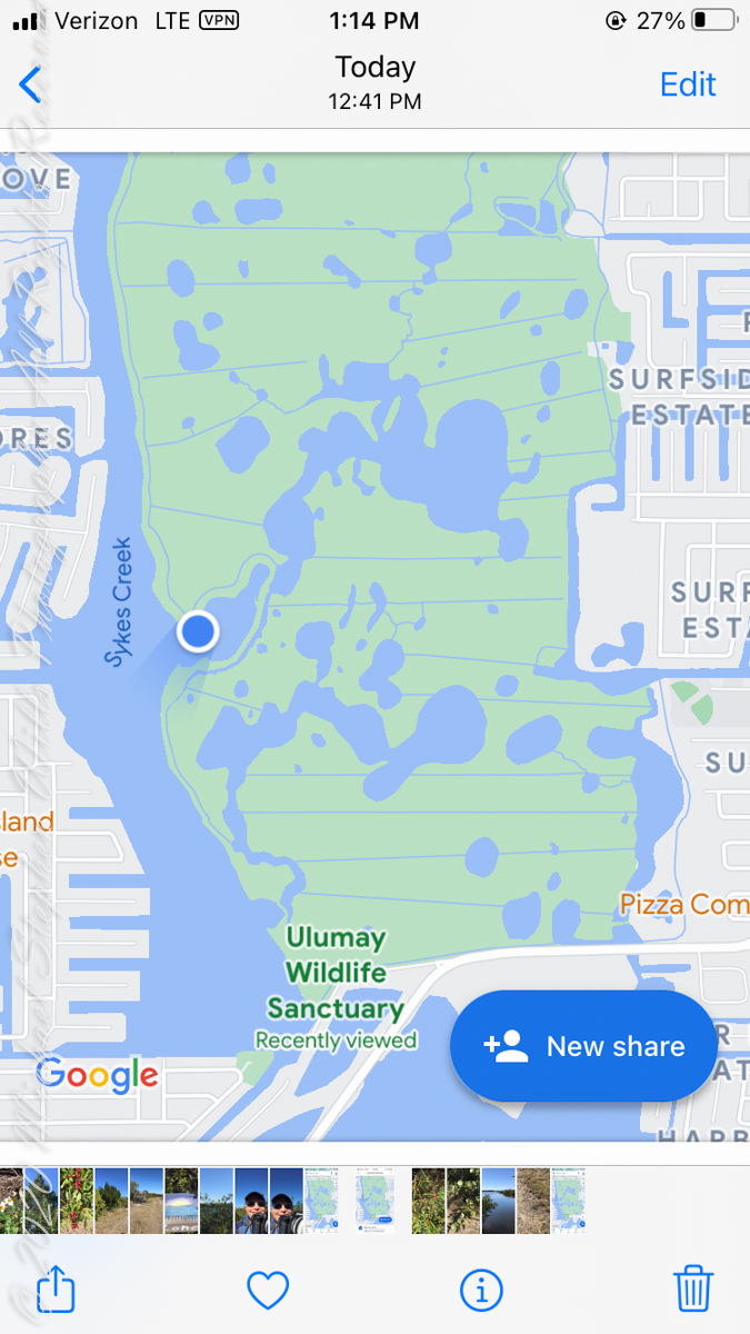
Ulumay is the name of the Native American settlement of the Ais people decimated by disease after the arrival of Europeans. The park is a natural lagoon and bird rookery linked with canals created for mosquito control and surrounded by a manmade dike. A trail on the dike provides access to the waterways for the fisherman, birdwatchers, and paddlers.

This informative placard, placed at the entrance. Note the 600 park acres is surrounded by residential properties.

I left Pam at the entrance, seen below at the words “Ulumay Wildlife”; she had a reasonable concern about alligators. It is quite possible to find a large specimen blocking the one and only trail. “What? Me Worry?” When pursued by an alligator, remember to zig-zag.

“Flora and Fauna”

Waterways, sightings

Second Stand

Third Stand

No sightings of alligators or manatees.

An Afternoon’s Exercise Around Taughannock Gorge

Yesterday afternoon was bright, sunny enough for me to break out of the winter exercise routine for a walk around Taughannock Falls, a New York State Park 7.5 miles from the front door through farmland and small villages with views of Cayuga Lake.

The route around the gorge, following the North and South Rim trails with a side trip to the edge of Cayuga Lake is 3 miles with a modest elevation change of about 500 feet.

My route began at the top with a cell phone, from the Falls Overlook, there is a gradual slope, until the end where flights of steep stone steps end at the gorge floor. The steps were free of ice and snow.

These photographs are from the cell phone. Here is the lake and a portion of the gorge. Yes, the lake is a dark blue on sunny days and is ice free this year. Another trail follows the gorge floor to below the falls, I opted out of the additional 1.5 miles today in the interest of finishing well before sunset.

Click any photograph to visit my Fine Art version of Taughannock Falls.

Taughannock Gorge and Cayuga Lake from the North Rim Trail – CLICK ME for my Fine Art version of Taughannock Falls.

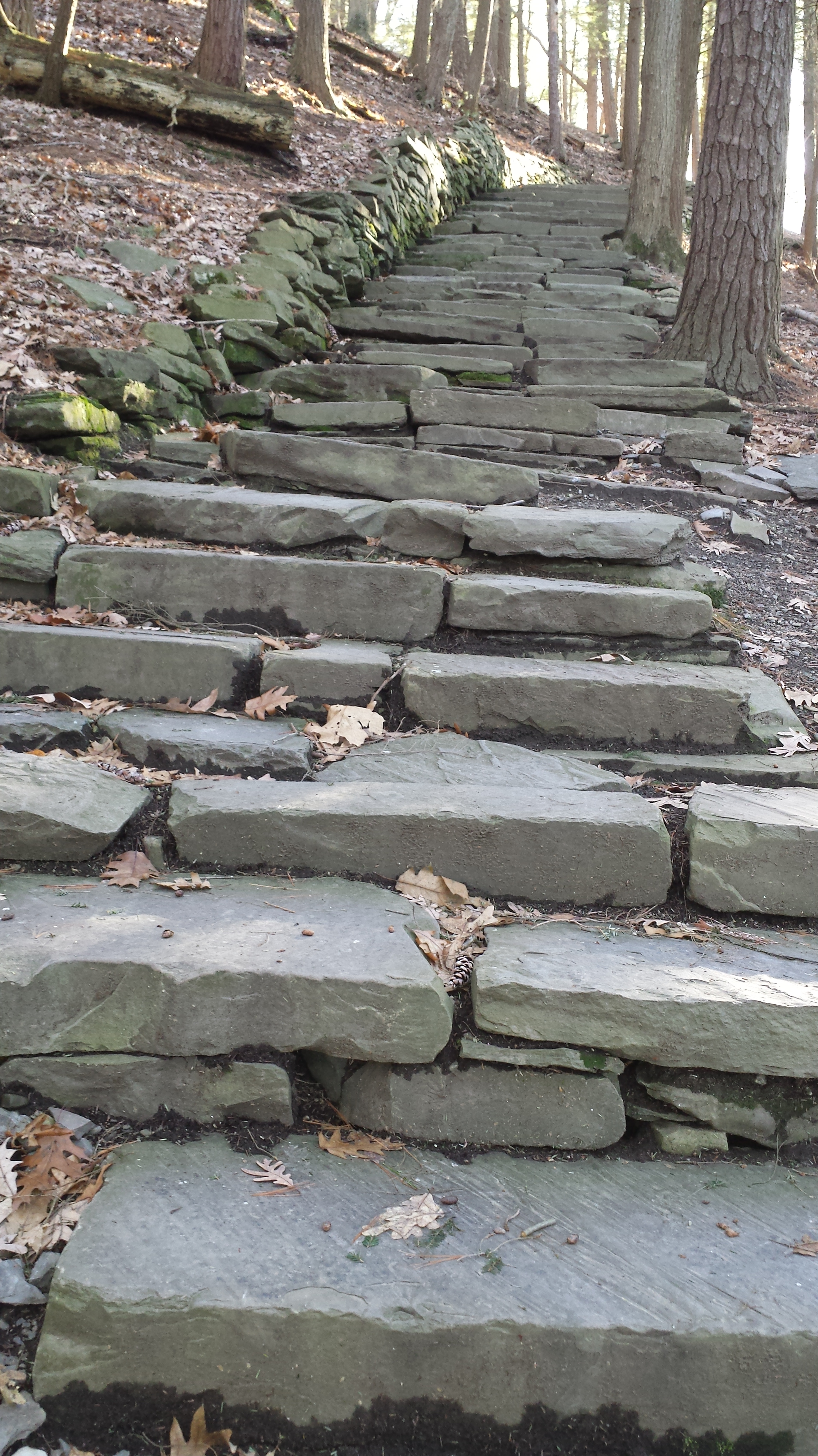
I have a few versions of these South Rim Trail stone steps taken at this perfect time of day, the low sun through the trees. Built in the 1930s by Roosevelt’s Civilian Conservation Corp, the steps and the entire trail are a work of art.

Climbing up from the gorge to the South Rim Trail – CLICK ME for my Fine Art version of Taughannock Falls.

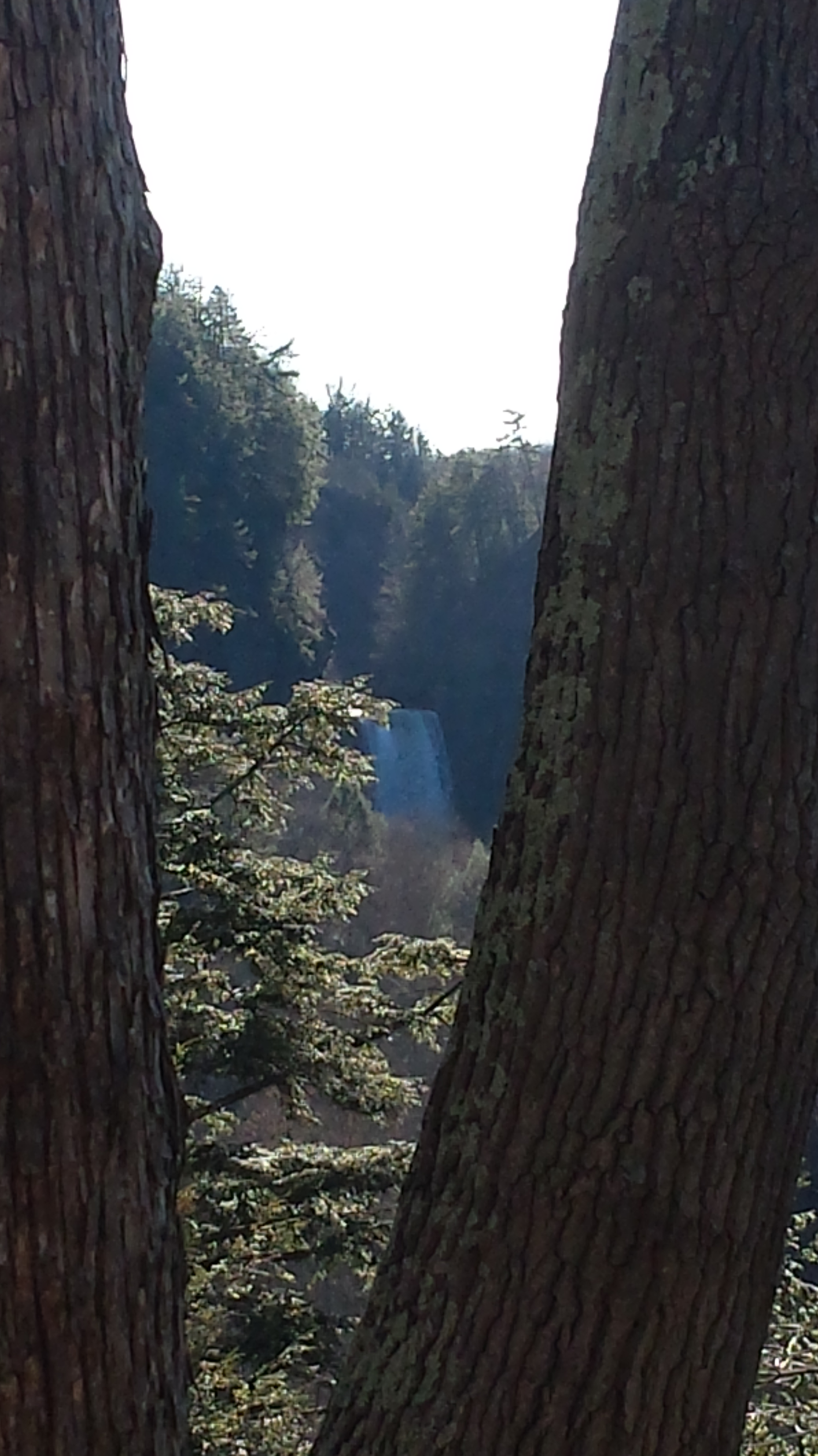
The far view of Taughannock Falls always fascinated me. I’ve never done it justice. There are several view points from the South Rim, overlooking the gorge were it bends to the south with only the upper third of the falls visible. The flow today was photogenic. I used the cell phone zoom to catch the view between the trunks of two trees.

View of the falls from the South Rim – CLICK ME for my Fine Art version of Taughannock Falls.

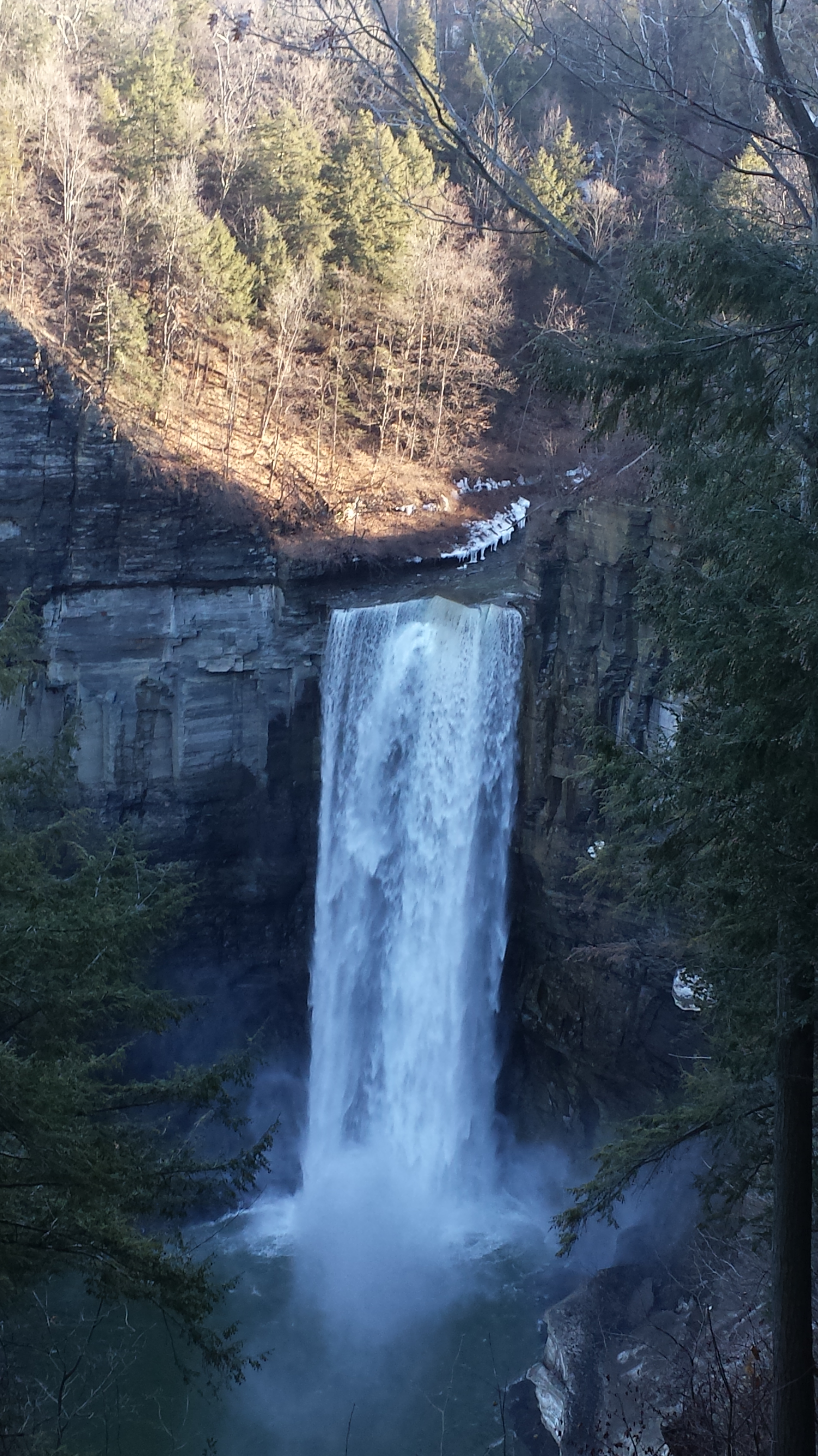
The top of the south rim was the only ice. It is there through April some years. Here is the closest, full view of Taughannock Falls from the North Rim. It is the same view you will find in my Fine Art version of the falls.

View of the falls from the North Rim – CLICK ME for the Fine Art version of Taughannock Falls.

And a cell phone video of the falls for the full effect.

Enjoy!!

A Far Country XI: Gondwana Part 1

amazing resolution with the Canon 24 mm lens

(Click any photograph to visit my online gallery)

The resolution of the Canon EF 24mm f/1.4L II USM makes this lens a favorite of mine for landscape work.  Let me show you why.

The valley today’s posting lies behind the tree.  It is a broad valley shaped by ancient glaciers.

Here is the Google Earth view, from an elevation of 9,400 feet, with the ship position marked.  Northwest is a pushpin titled, “Hanging Valley and Waterfall.”

A Far Country X– CLICK ME!!!!

The waterfall marking the hanging valley is visible in the following photograph.   All photographs in this posting are from a Canon EOS-1Ds MarkIII, 24 mm lens (see above for complete name), on a Manfrotto travel tripod.  ISO 500, f5.6 or f6.3.

With a point of view about 50 feet above the water the valley bottom is hidden behind an 800 foot hill and the water fall is just above the hill.  See it?  …..I didn’t think so.

There is the island with the tree, to the left.  The following image is the same photograph, with the central section enlarged.

Fjord Island and Broad Valley– CLICK ME!!!!

The enlargement brings out the play of light, the low clouds, deep in the valley.  To provide scale, know those are full sized pines on the hillside, foreground.  The waterfall is just about visible.  I will enlarge the image one more time.

Fjord Island and Broad Valley– CLICK ME!!!!

There it is!!  I stepped up contrast, as well.

Fjord Island and Broad Valley– CLICK ME!!!!

Here is another version of the original view.  That patch of sky had opened up seconds after the first shot and, as a result, the 3,000 door mountain and waterfalls, on right, are better lit.  Notice the bare rock face on the mountain slope, marking a landslide.

Click this image for a high resolution version, in your browser.

Fjord Island and Broad Valley– CLICK ME!!!!

A different landslide Scar is featured in two previous blogs,

A Far Country V: Landslides!!

A Far Country VI: View of Tempanos Fjord

The Regatta’s course brought us closer for the two following shots.

The lovely sky is still visible…..

Mountain and Waterfalls

….one minute later the clouds gather and relative darkness returns.

(Click any photograph to visit my online gallery)
Copyright 2022 Michael Stephen Wills All Rights Reserved

A Far Country X: Hanging Valley

amazing resolution with the Canon 24 mm lens

(Click any photograph to visit my online gallery)

The resolution of the Canon EF 24mm f/1.4L II USM makes this lens a favorite of mine for landscape work.  Let me show you why.

The valley today’s posting lies behind the tree.  It is a broad valley shaped by ancient glaciers.

Here is the Google Earth view, from an elevation of 9,400 feet, with the ship position marked.  Northwest is a pushpin titled, “Hanging Valley and Waterfall.”

A Far Country X– CLICK ME!!!!

The waterfall marking the hanging valley is visible in the following photograph.   All photographs in this posting are from a Canon EOS-1Ds MarkIII, 24 mm lens (see above for complete name), on a Manfrotto travel tripod.  ISO 500, f5.6 or f6.3.

With a point of view about 50 feet above the water the valley bottom is hidden behind an 800 foot hill and the water fall is just above the hill.  See it?  …..I didn’t think so.

There is the island with the tree, to the left.  The following image is the same photograph, with the central section enlarged.

Fjord Island and Broad Valley– CLICK ME!!!!

The enlargement brings out the play of light, the low clouds, deep in the valley.  To provide scale, know those are full sized pines on the hillside, foreground.  The waterfall is just about visible.  I will enlarge the image one more time.

Fjord Island and Broad Valley– CLICK ME!!!!

There it is!!  I stepped up contrast, as well.

Fjord Island and Broad Valley– CLICK ME!!!!

Here is another version of the original view.  That patch of sky had opened up seconds after the first shot and, as a result, the 3,000 door mountain and waterfalls, on right, are better lit.  Notice the bare rock face on the mountain slope, marking a landslide.

Click this image for a high resolution version, in your browser.

Fjord Island and Broad Valley– CLICK ME!!!!

The Regatta’s course brought us closer for the two following shots.

The lovely sky is still visible…..

Mountain and Waterfalls

….one minute later the clouds gather and relative darkness returns.

Fjord and Valley

(Click any photograph to visit my online gallery)
Copyright 2022 Michael Stephen Wills All Rights Reserved

A Far Country IX: Bonsai Shape

Compelling Plant Shapes

(Click any photograph to visit my online gallery)

Here is a Google Earth view of Tempanos Fjord from 9,400 feet, looking north, northwest over a point on the fjord 6.5 miles from Iceberg Glacier, at 4 pm local time on February 17, 2016.  This view is interesting for the insignificant island, .75 mile long, and broad mountain valley to the north fringed with waterfalls.

Marked is the location of a tree, “bonsai”, a feature of the fjord cliffs, “Landslide Scar” and a neighboring Fjord, “Farquhar Fjord.”

This blog features the tree.

Tempanos Fjord View West, Northwest– CLICK ME!!!!

The Farquhar Fjord entrance opens onto the entrance of Tempanos Fjord and is the last photograph.

Tempanos Fjord View West, Northwest– CLICK ME!!!!

A photograph from our port side stateroom deck includes both the island and broad valley.  The misshapen tree, the “bonsai”, is on an islet to the right and in front of the island.  It is the small stump backlit by water reflection.  The stump is more interesting than can be seen in this image from a handheld camera, at 24 mm.  I used the variable lens for a closer look.

24 mm bonsai view– CLICK ME!!!!

From this 133 mm, f8.0, 1/250 sec and ISO 800, still handheld, interesting details come into view.  The islet is a rock on which clings a bed of moss.  Several ferns, a sapling (on the far side) and a stump, on the right, are surviving.  The stump presumably supported a small tree of which a “bonsai-like” twig remains.

Bonsai are fascinating, created through the art and skill of emulating pleasing natural forms.  Here the moss encrusted twists and miniature tree crown were formed from a difficult environment.  Bonsai of Japan originated from an ancient Chinese tradition of penjing (“tray plant”).  The inspiration for this are, at origin and now, must be, in part, from admiration of the tenacity and beauty of these plants.
133 mm bonsai view– CLICK ME!!!!

At the 200 mm maximum my Sony Alpha 770 (1/400, f9, ISO 800) image is a little fuzzy, still with great details.

From my interest in bonsai I am on the lookout for shapes such as this. Travelling the challenging environment of the Chilean Fjords I found examples here and there.
200 mm bonsai view – CLICK ME!!!!


Click any photograph to visit my online gallery)
Copyright 2022 Michael Stephen Wills All Rights Reserved