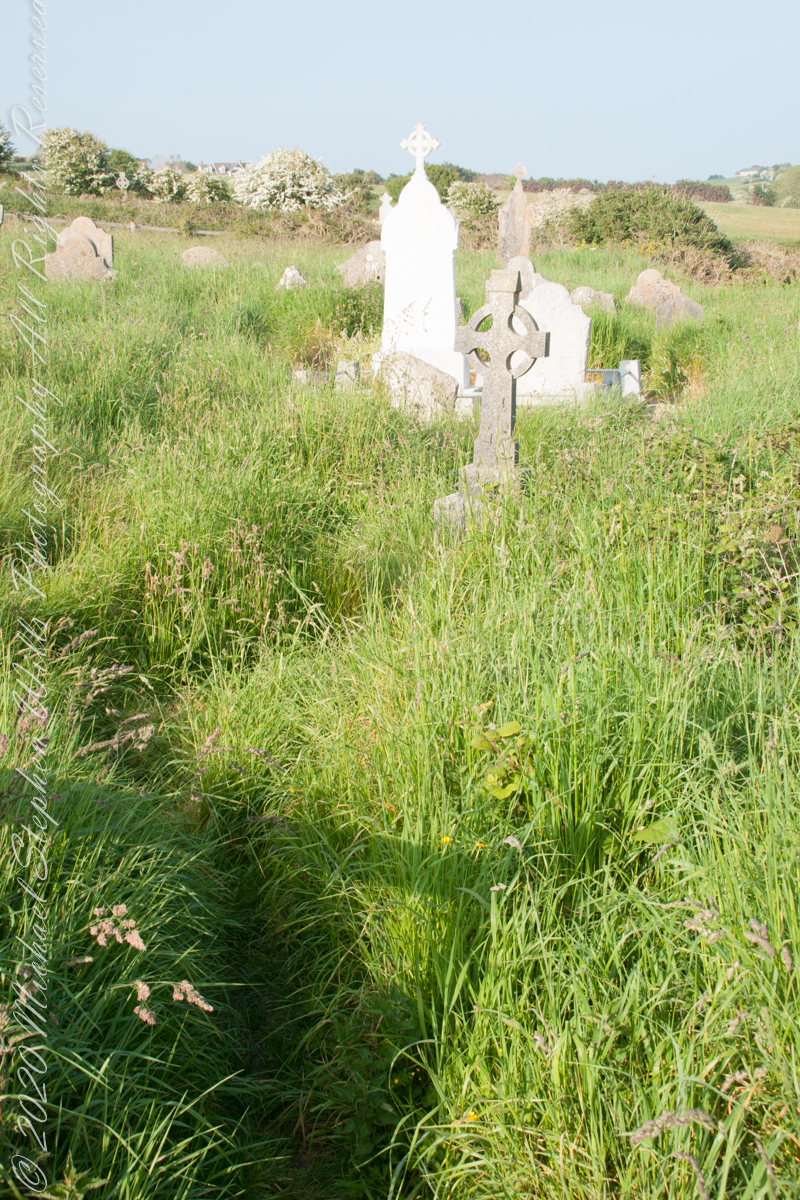
Path well trodden through the centuries since.
Click any pic for a larger view, in a new tab, or a slide show. When using WordPress Reader, you need to open the post first.

Click Me for the next post in this series.
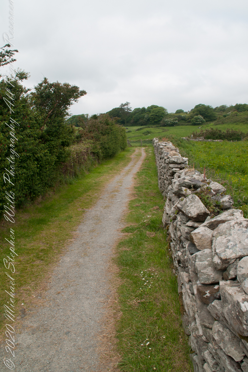
Path to the late Bronze Age
Path well trodden through the centuries since.
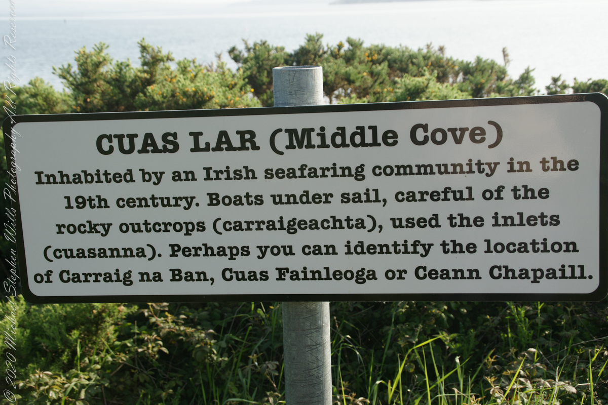
Last views from Kinsale, County Cork
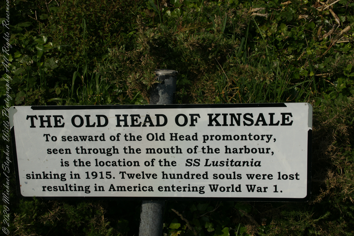
The view referred to by placard is to the right. The Old Head of Kinsale is the distant landform, looking right to left, is the portion that drops off to the ocean.
Here is a Google Maps screen capture showing the relationship of our position (the unnamed red drop-pin) on the right, and the Old Head of Kinsale landform, seen below the lable “Ballylane.”

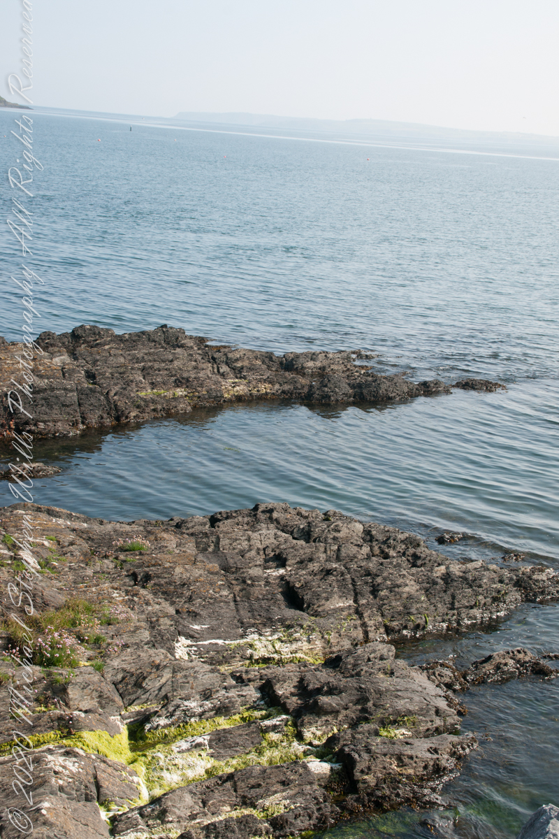
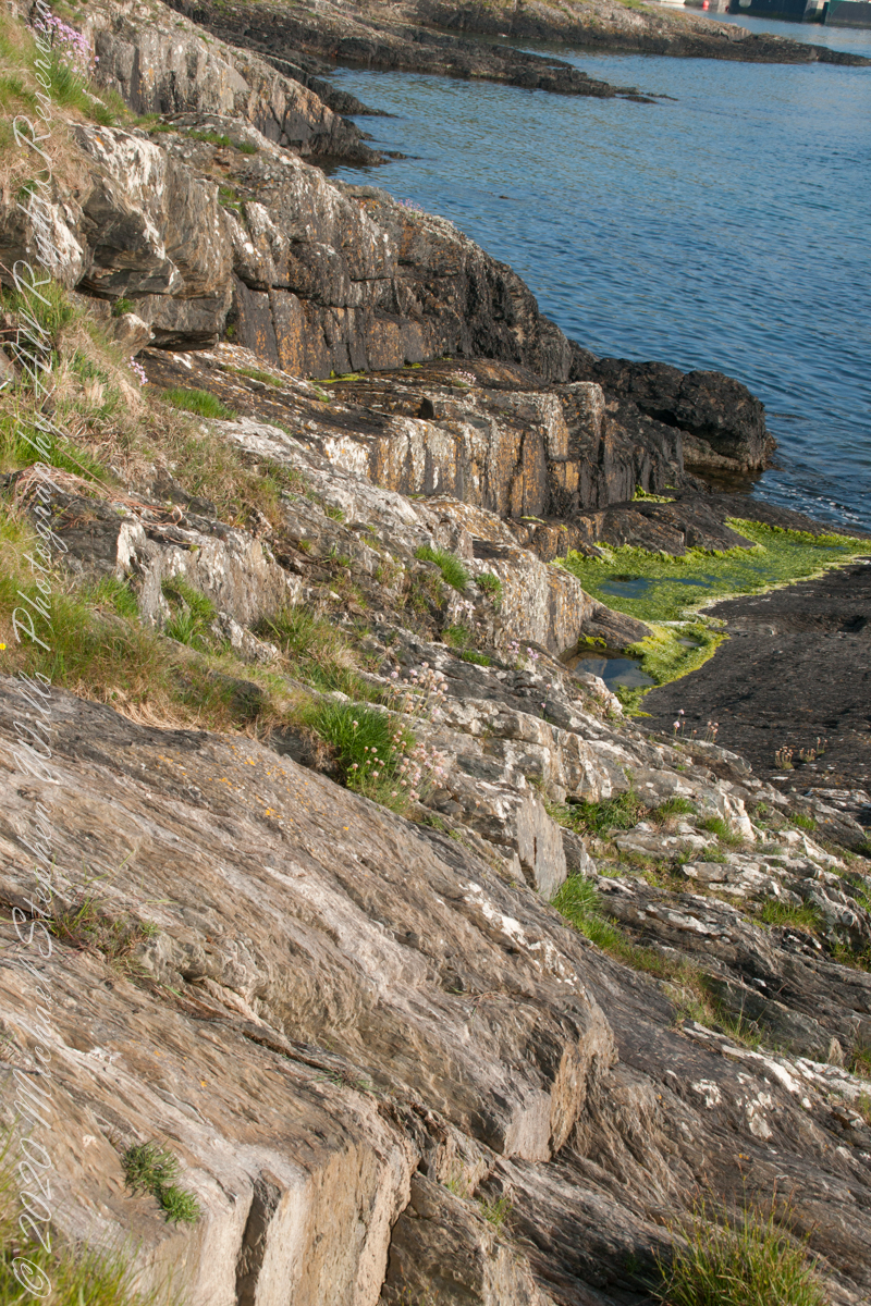
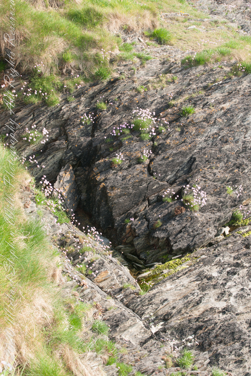
Here are the views looking toward the Celtic Sea, the Old Head of Kinsale and the cliffs at our feet.

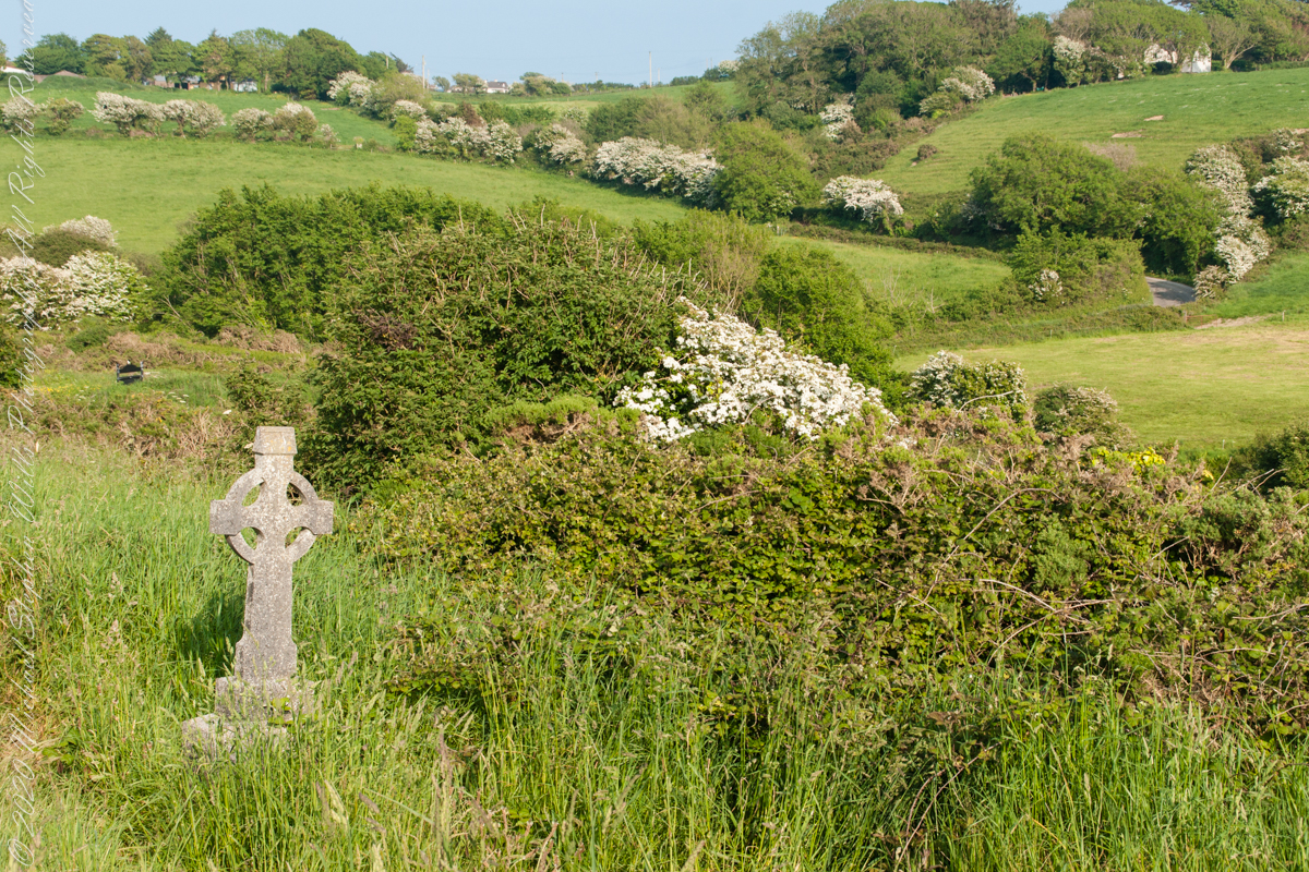
This cemetery is unmarked on the maps I use.
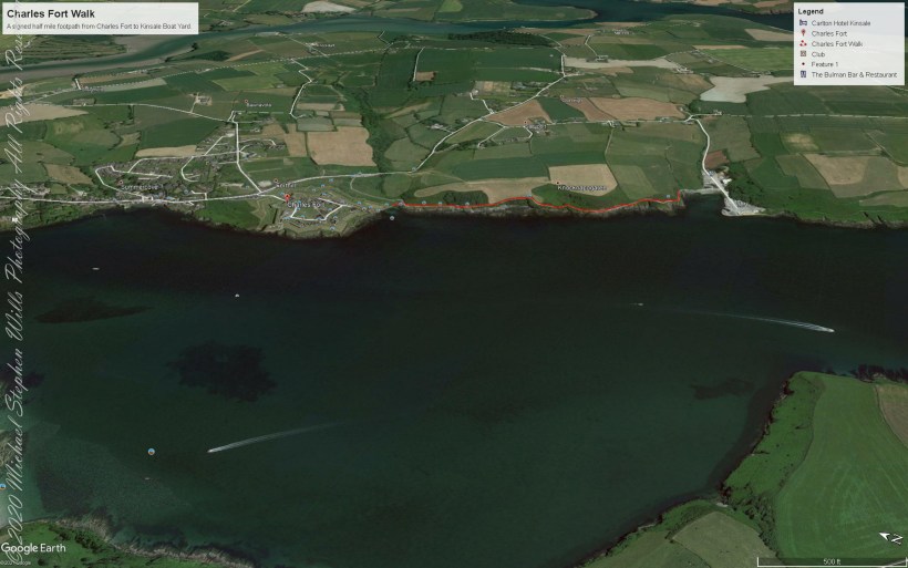
Here is a Google Earth view of our walk, the red line. The view is looking east from above the former “de Courcy family parkland.”

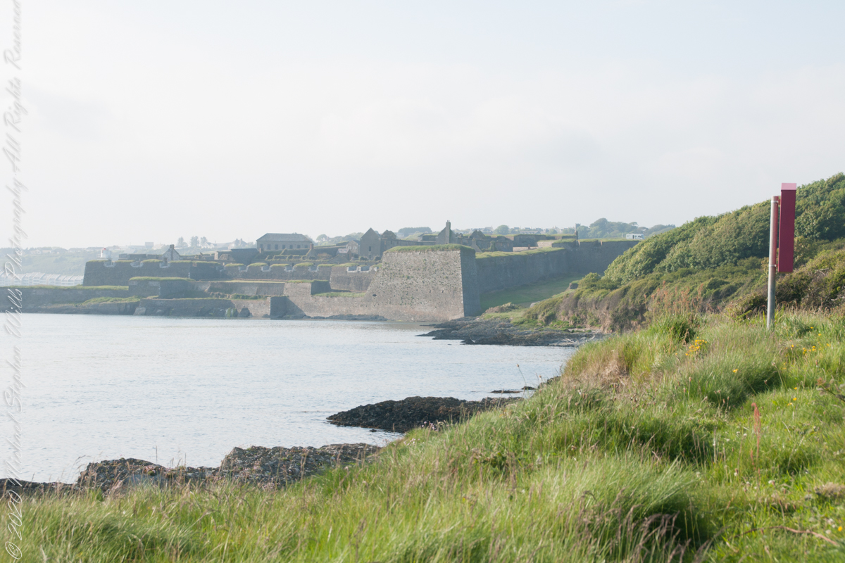
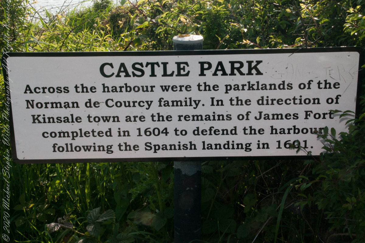
Old and New Forts
As Pam and I past the scenes of bucolic reverie this sign drew us back to the past. The reference to de Courcy is as a family of invading Normans. John de Courcy, without the King’s permission, launched an 1176 AD invasion of northeastern Ireland, what is now County Down, as an ultimately failed land grab. The history is murky, though apparently John de Courcy’s son Miles acquired the land referred to in the placard through the English King Henry II, awarded to Miles’ thieving, murderous Norman father-in-law Milo de Cogan in the 13th Century. Much later, the old (James) and new (Charles) Forts were constructed to defend Kinsale harbor.
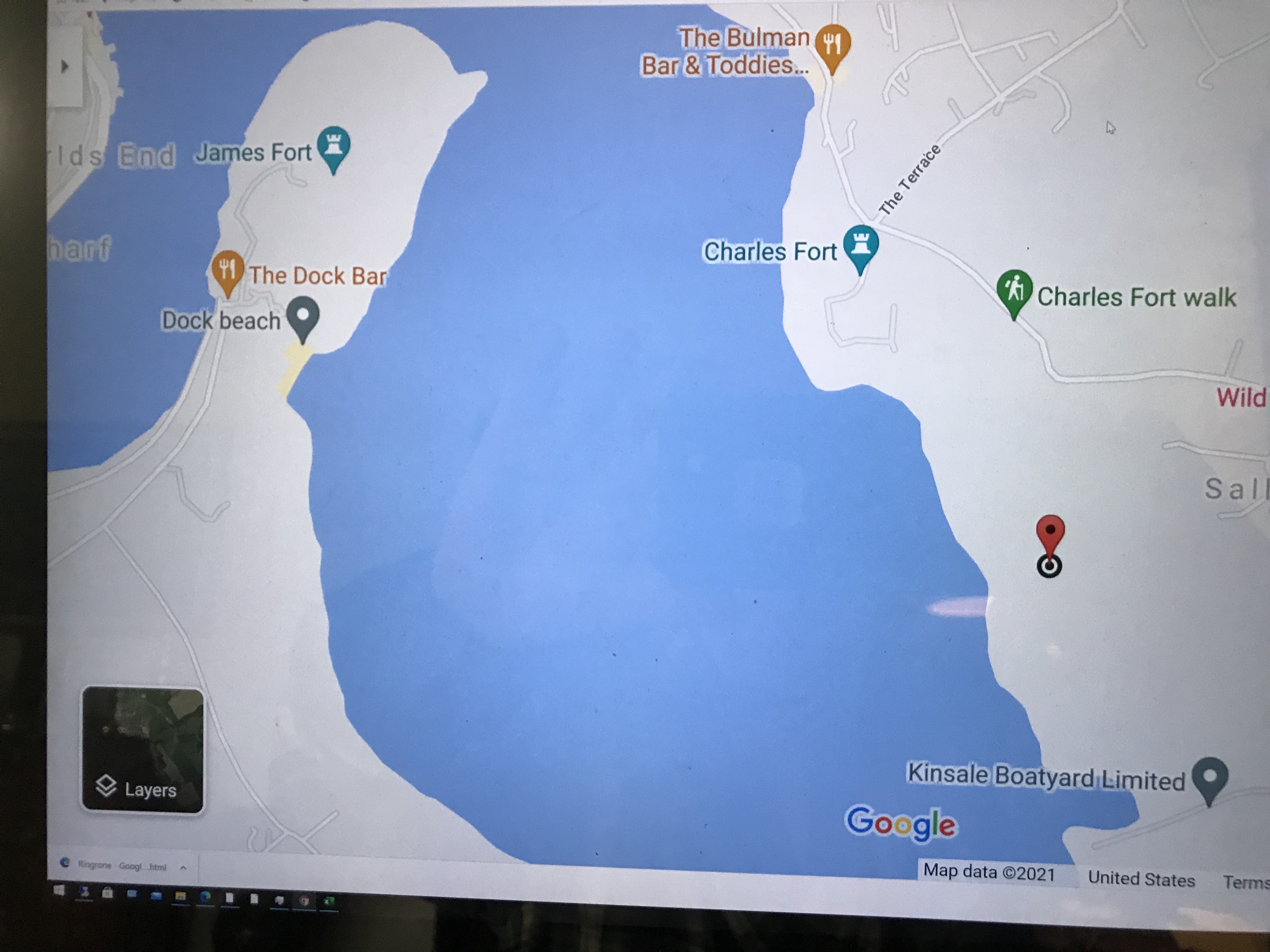
Here is a Google Maps screen capture showing the relationship of our position (the unnamed red drop-pin) on the right, Charles and James Forts and the de Courcy family parklands, the large blank area below the pin named “Dock beach.”
Here are the views looking toward the Celtic Sea, the Old Head of Kinsale and the cliffs at our feet.

Looking Around
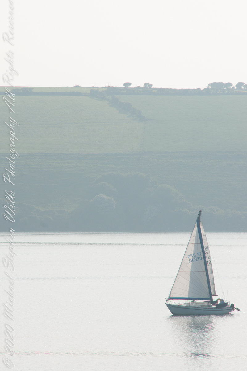
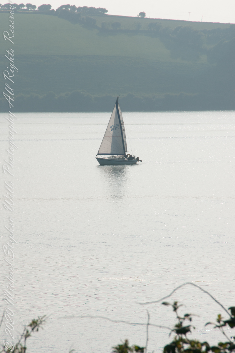
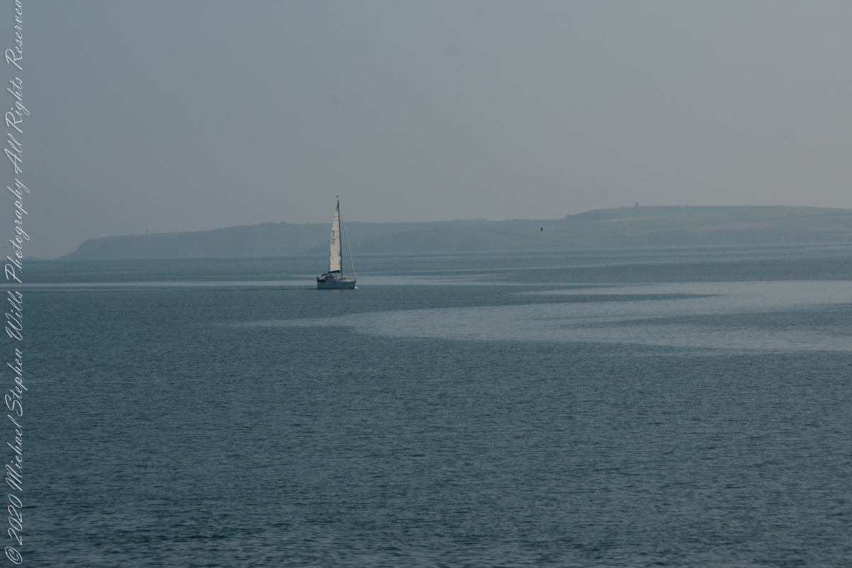
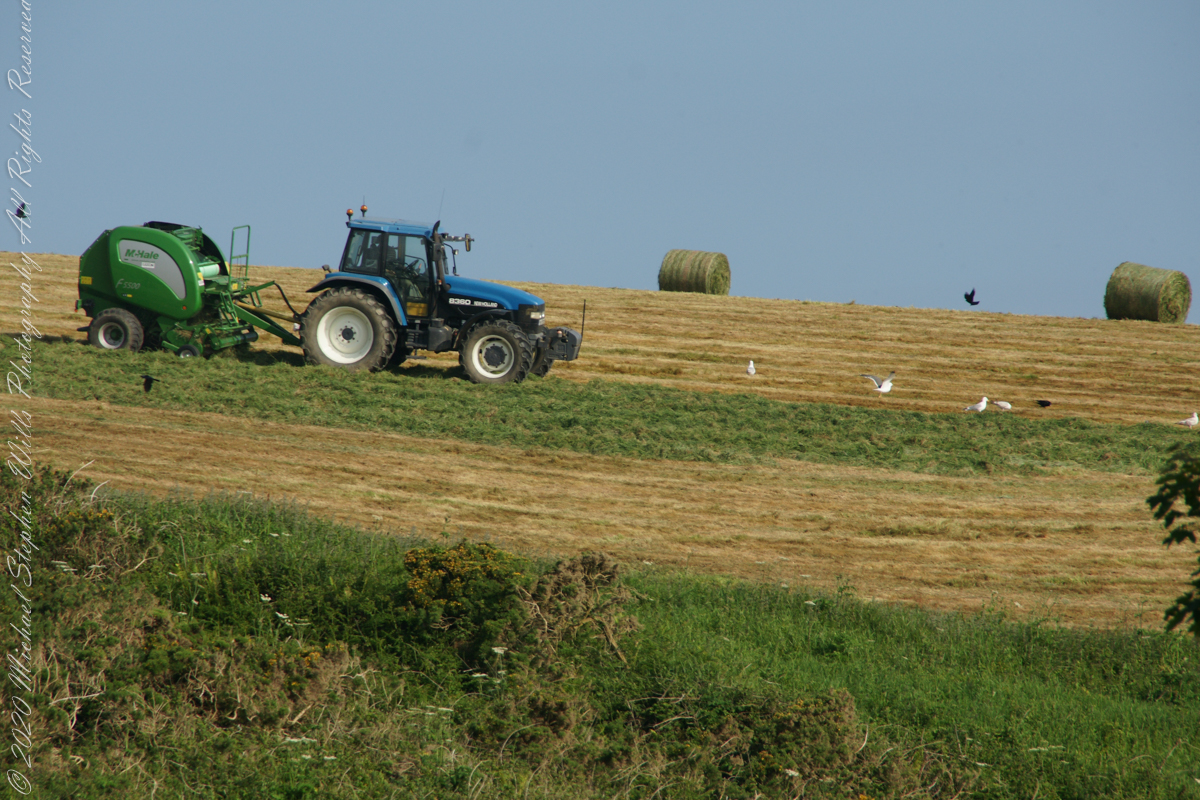
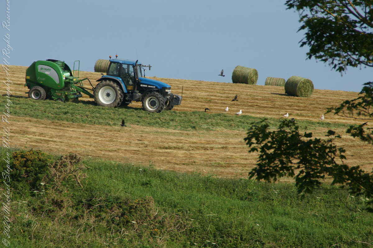
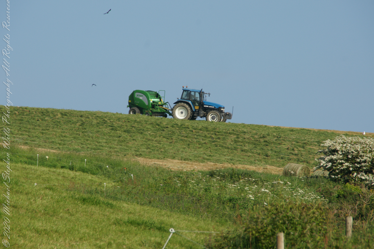
As Pam and I continued down the half mile “Sallyport” footpath, marked in red on the Google Earth view provided at the end of this post, we enjoyed the view across the Celtic Sea toward the distant Old Head of Kinsale and this sailboat headed to port.
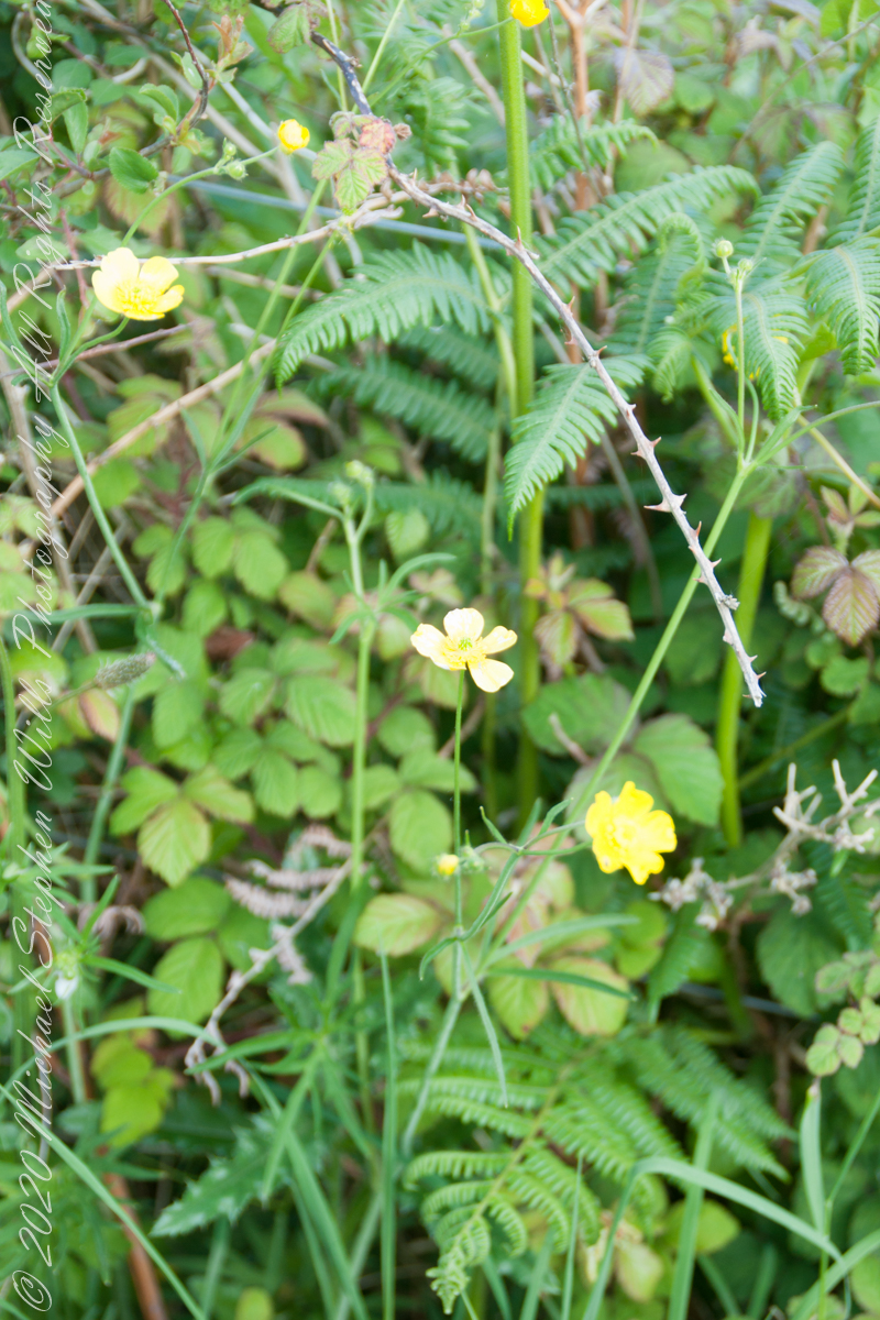
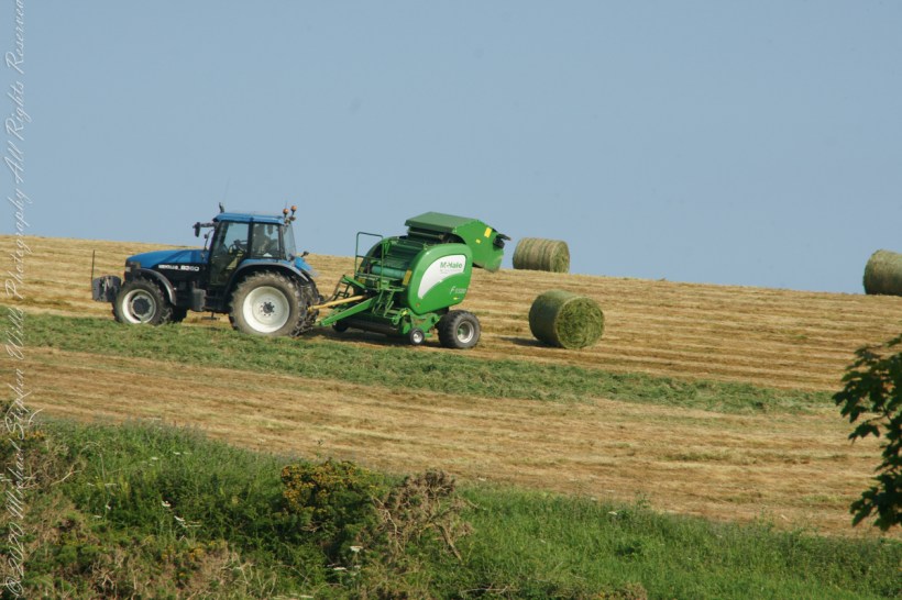
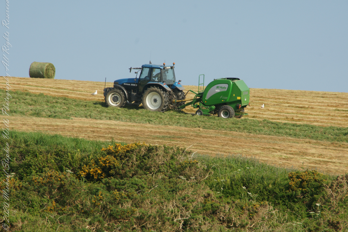
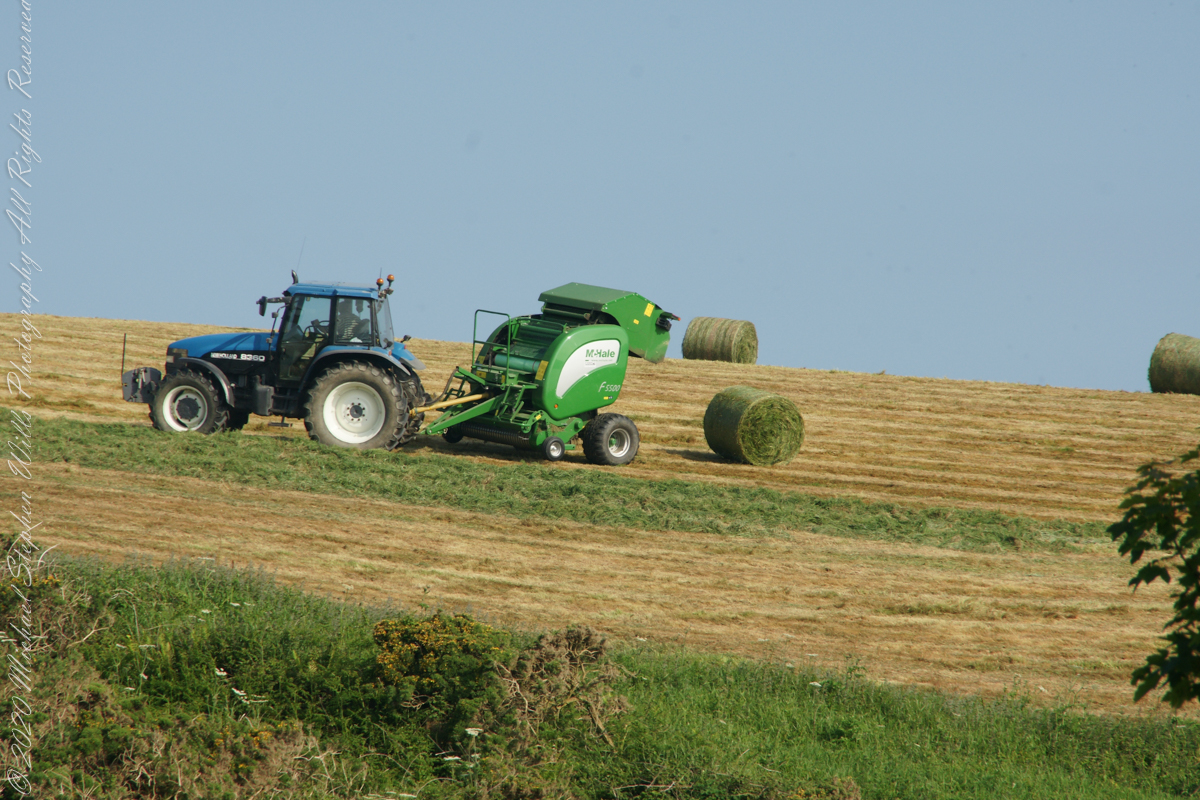
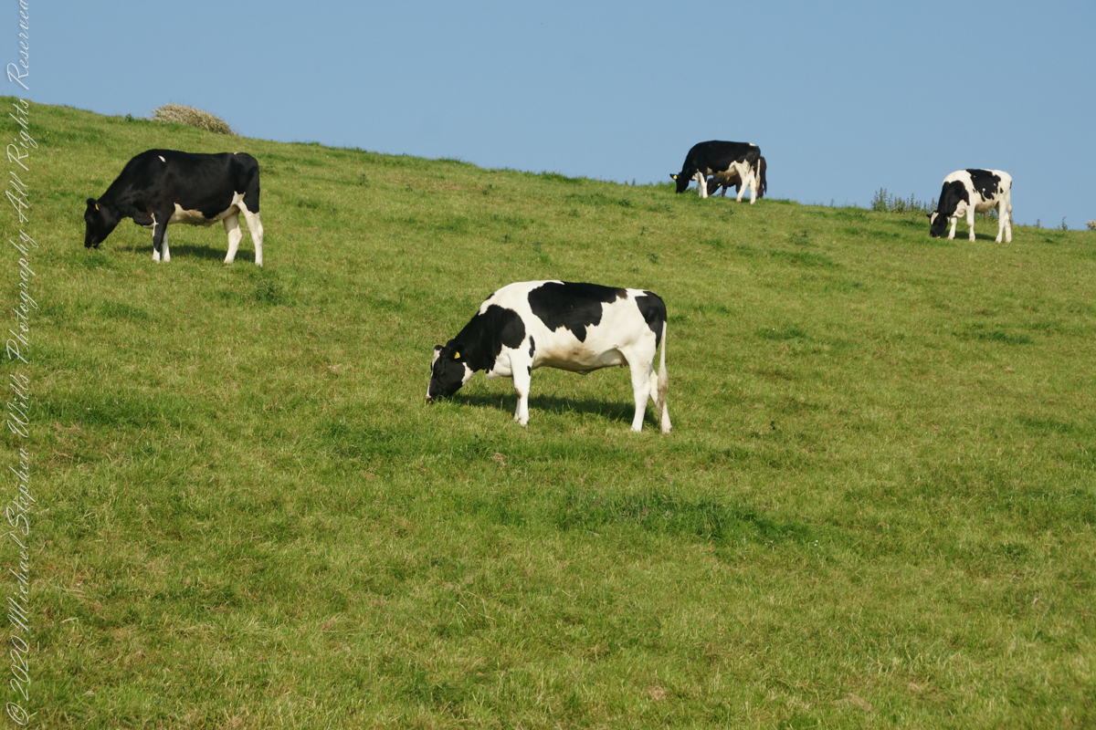
Landward, we enjoyed watching the progress of a farmer rolling hay bales while cows munched fresh green grass.
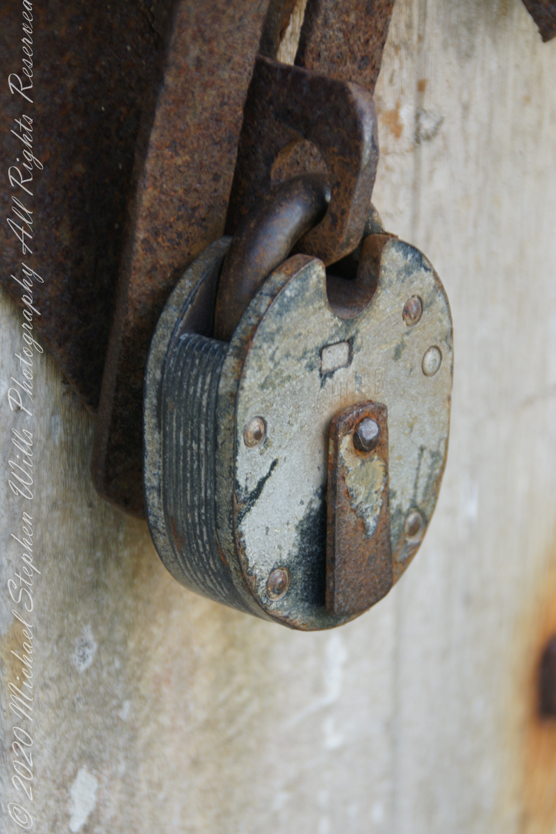
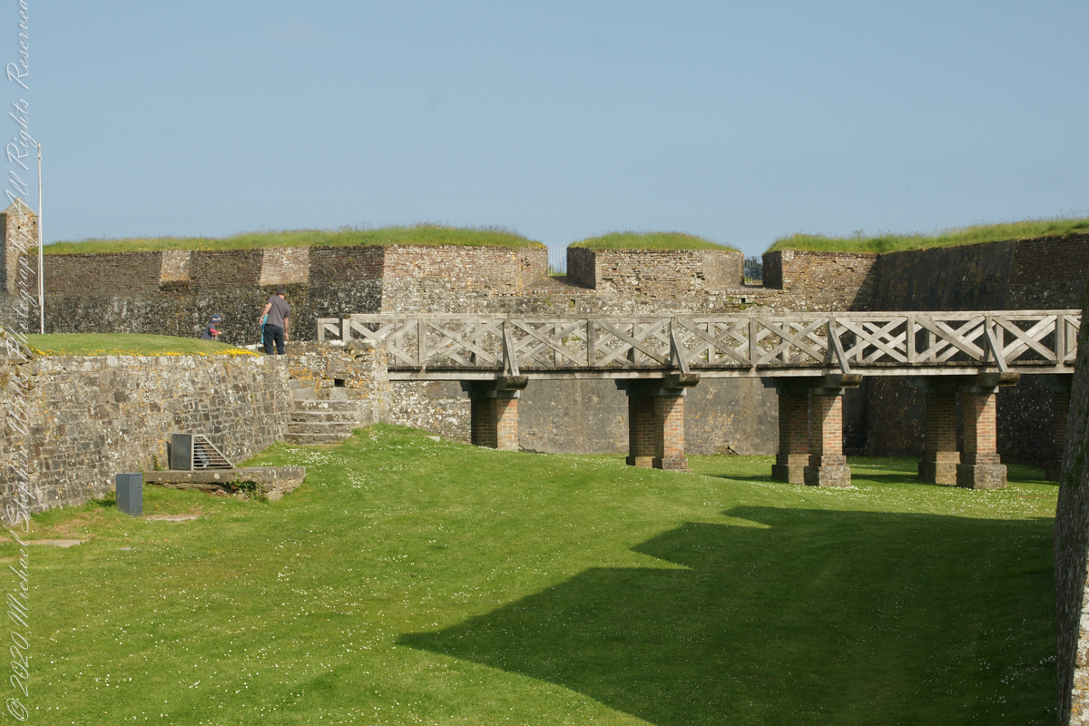
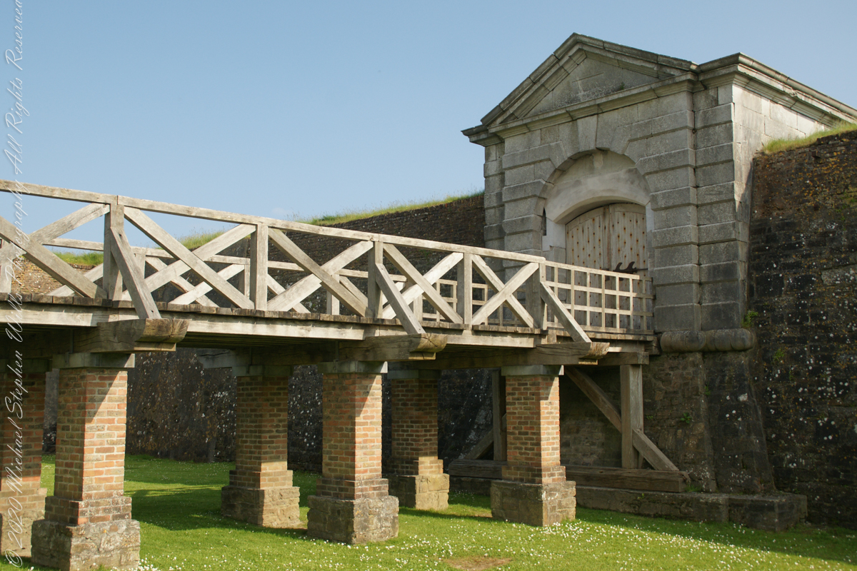
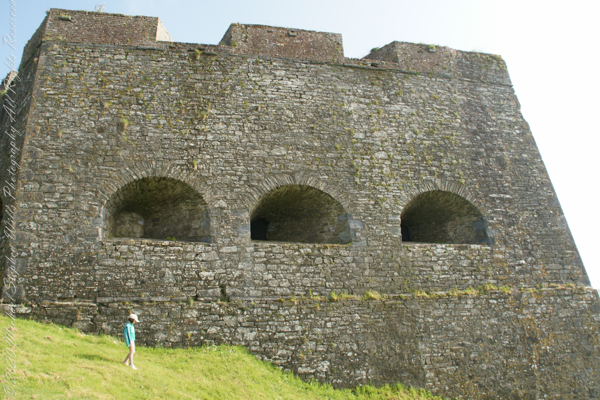
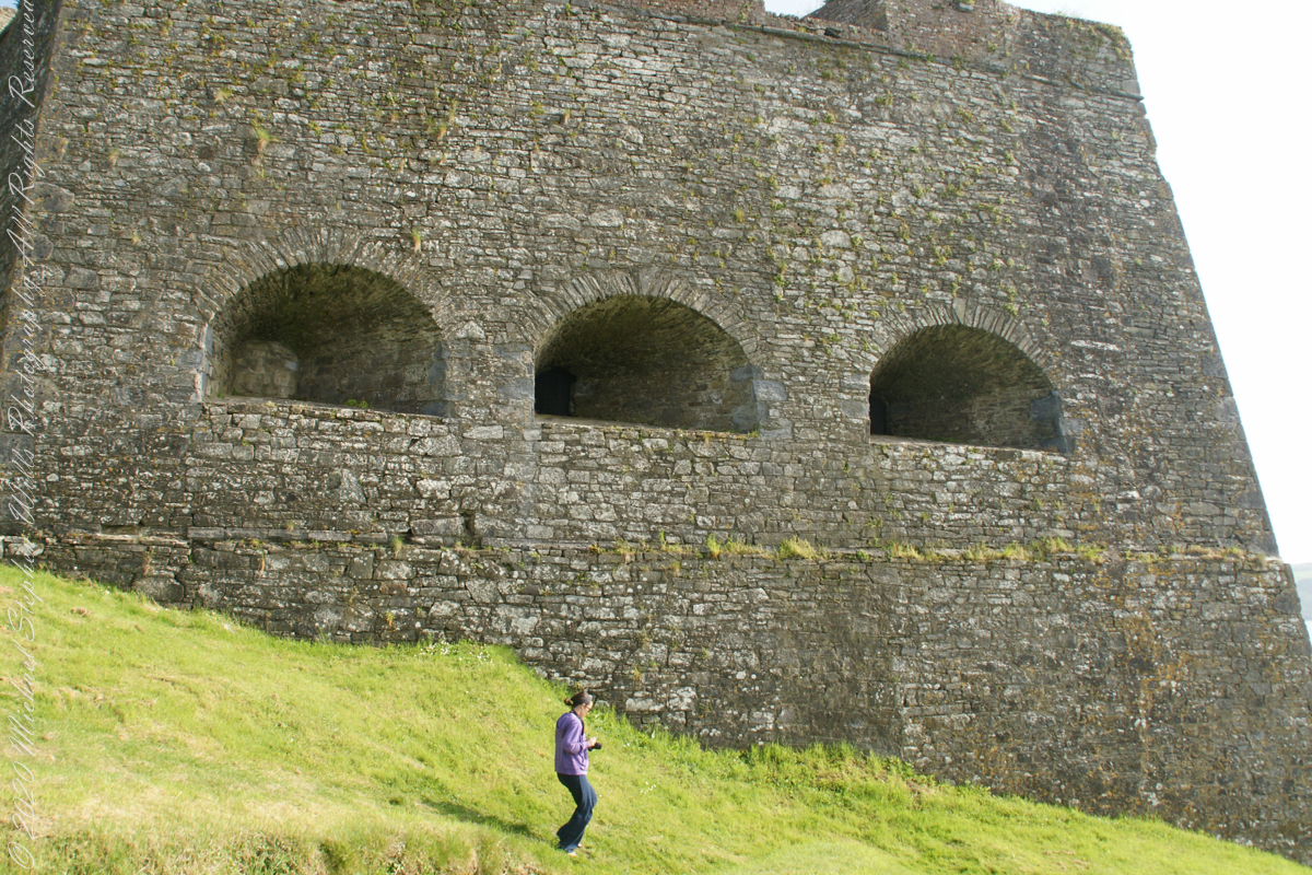
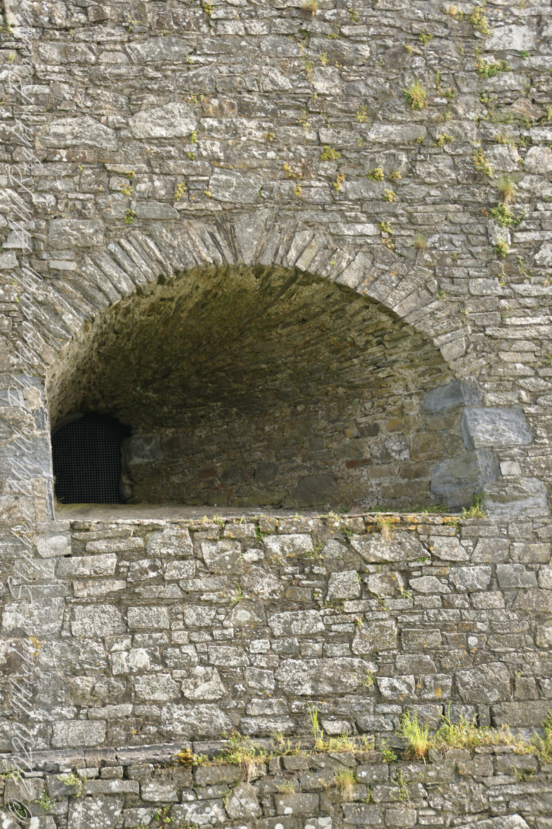
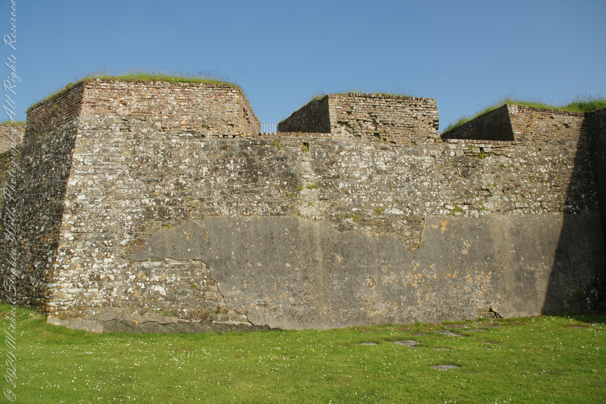
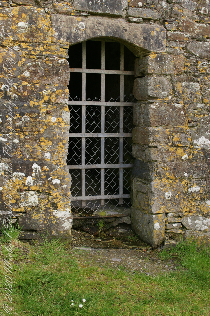
Dún Chathail
A “dun” is a larger fortification, few and far between on the island of Ireland. We saw one on the Arran Islands, from the Iron Age, Dun Angus, Charles Fort, or Dún Chathail in Irish, is from historical ages.
A cannot tell from my slide show, but the walls are star shaped with many salients, giving more positions to defend the walls.

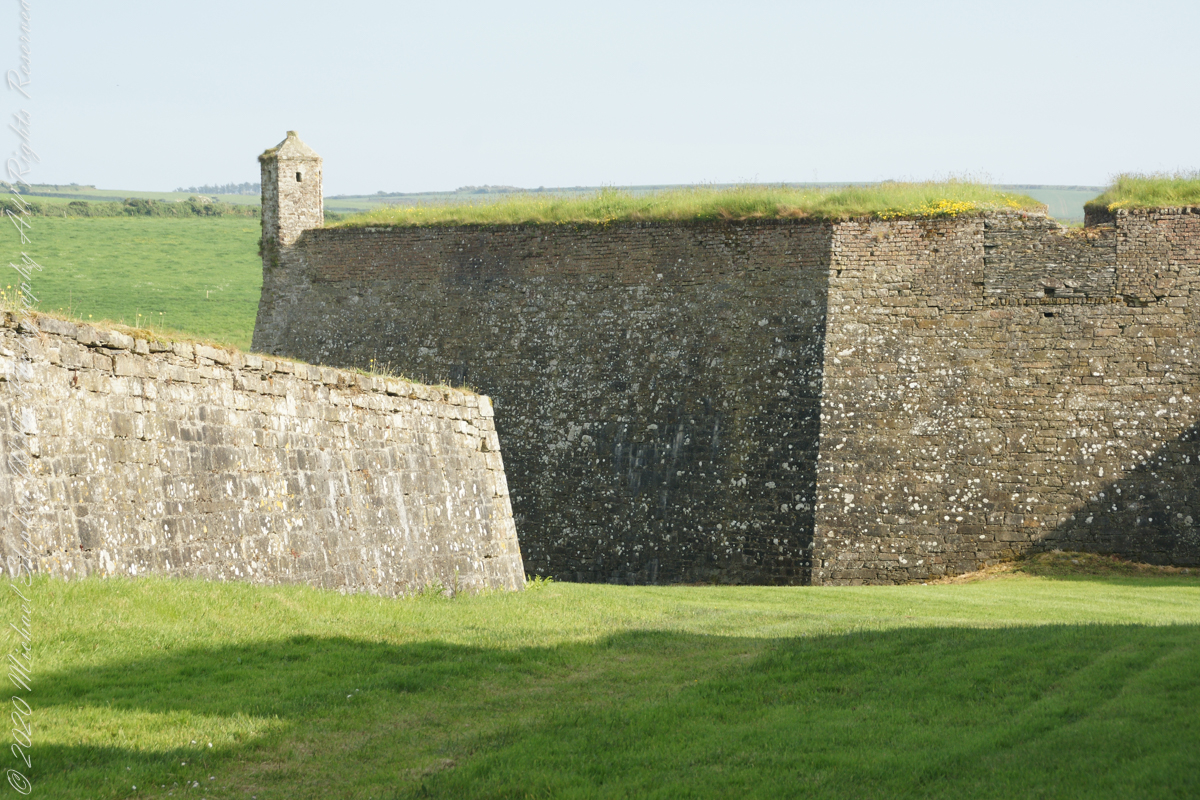
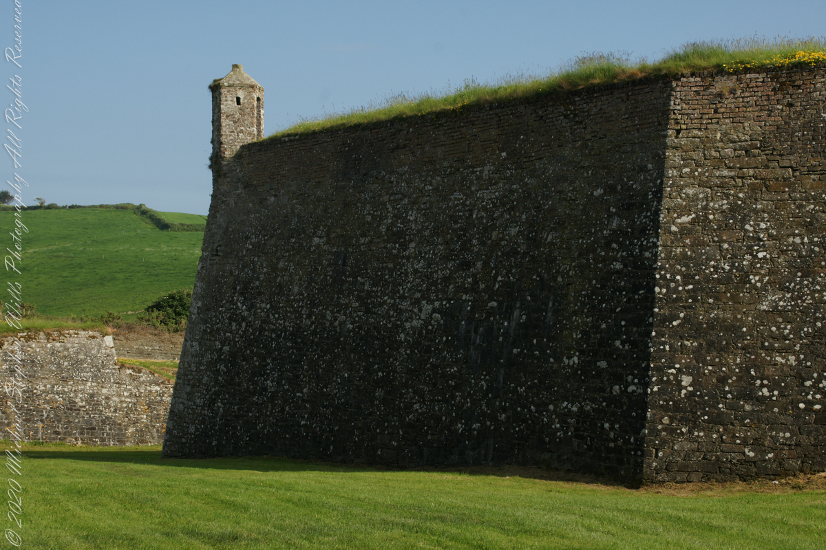
“Charles Fort” – wikipedia

Gibbous Moon and Red Rock
Driving from the Petrified Forest National Park my son, Sean, and I arrived at Chinle, Arizona the evening of Monday, November 2, 2003. No time to rest or eat after checking into the Best Western he and I reached the White House overlook and trail head with the sun low in the sky, the sun sets 6:45 pm these last few days of Daylight Savings. The Navajo Reservation observes Daylight Savings, so the click jumps crossing the border from Arizona to Reservation.
I was 50 at the time and with Sean graduated from SUNY Maritime and fresh from a tour at sea we made good time to the canyon floor. I wanted to catch the White House in the setting sun.
One morning, 14 years later, I published a fine art photograph from that trip.
Looking along the canyon, over thick stands of Russian Olives, I caught the risen moon, in gibbous phase, against a mid-canyon freestanding fin of red sandstone of the southern canyon wall. Today, those trees are gone, removed as an invasive species.
Click for my OnLine Gallery “Memories Dreams Reflections”


Kinsale, a historic seaport in County Cork, showcases unique architecture and geography, with its streets and houses built on steep inclines near the river Bandon.
The first of a series of idiosyncratic posts from a 2014 walking tour of Kinsale.
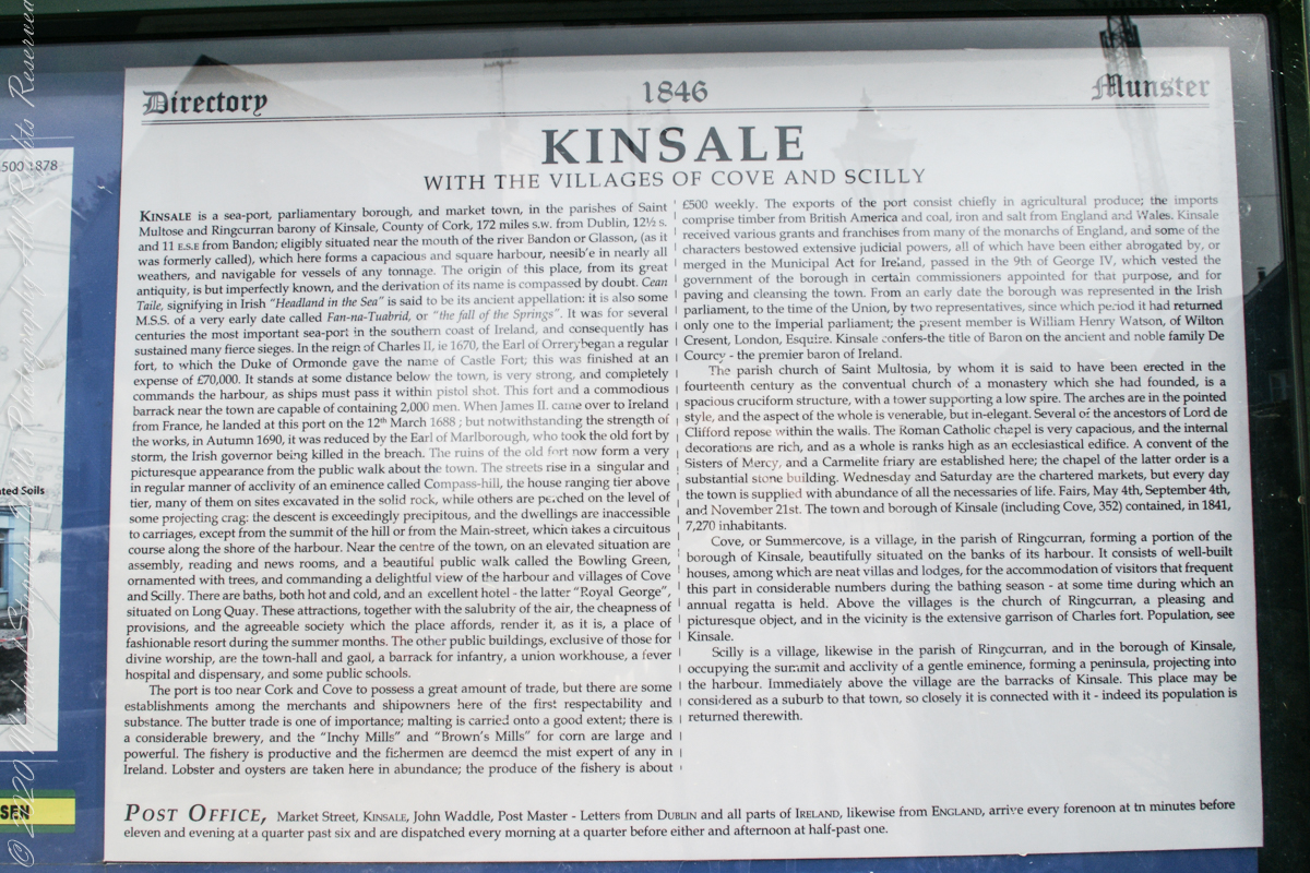
Text from an poster behind glass accessible to all and sundry. Directory 1846 Munster, Kinsale with the villages of Cove and Scilly. Kinsale is a seaport, parliamentary borough and market town in the parishes of Saint Multose and Ringcurran barony of Kinsale, County of Cork, 172 miles s.w. from Dublin, 121/2 s and 11 e.s.e. from Bandon; eligibly situated near the mouth of the river Bandon or Glasson, (as it was formerly called), which here forms a capacious and square harbor, accessible in nearly all weathers, and navigable for vessels of any tonnage. the origin of this place, from its great antiquity, is but imperfectly known, and the derivation of its name is compassed by doubt. Cean Taile (Cionn tSáile), signifying in Irish “Headland in the Sea” is said to be its ancient appellation. (see more in the photograph).
Here we are on Emmet Place. There is a row of houses built along a steep alley named “The Stoney Steps.” At top is the aptly named Higher O’Connell Street.
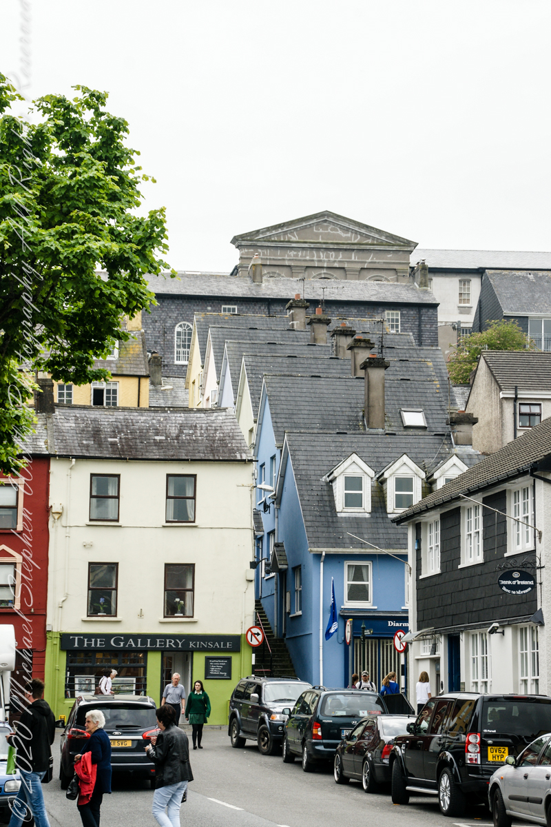
From the informative poster…The streets rise in a singular and in regular manner of acclivity of an eminence called Compass Hill, the house ranging tier above tier, many of them on sites excavated in the solid rock, while other are perched on the level of some projecting crag: the descent is exceedingly precipitous, and the dwelling are inaccessible to carriages, except from the summit of the hill or from Main street, which takes a circuitous course along the shore of the harbor.
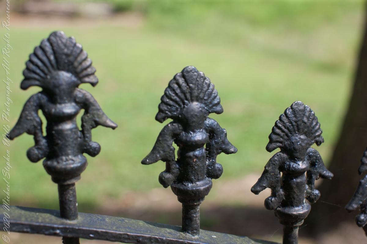
Buttonwood Hill Tavern and the Old Eagle Inn
……click for “Pinelands Connections I”.
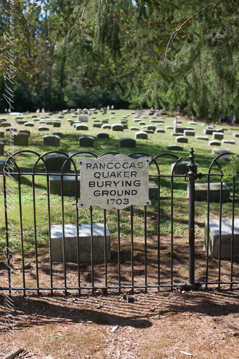
I am happy to share a breakthrough in my family research of our time in Western New Jersey, 225 years for my branch from the 1677 landing of the Kent on Rancocas Creek until my grandfather left for Asbury Park.
In this rectangle (10 miles by 15 miles) taken from the 1900 US Geological Survey, Rancocas Quadrangle, New Jersey topographic map is shown, upper right hand corner, Apple Pie Hill the starting point of this history where the author John McFee climbed the fire watchtower there, a view encompassing endless acres of pines. I learned an ancestor, third great-grandfather James McCambridge and his wife Mary owned the Old Eagle Tavern less than two miles south of there. The site is marked in red.
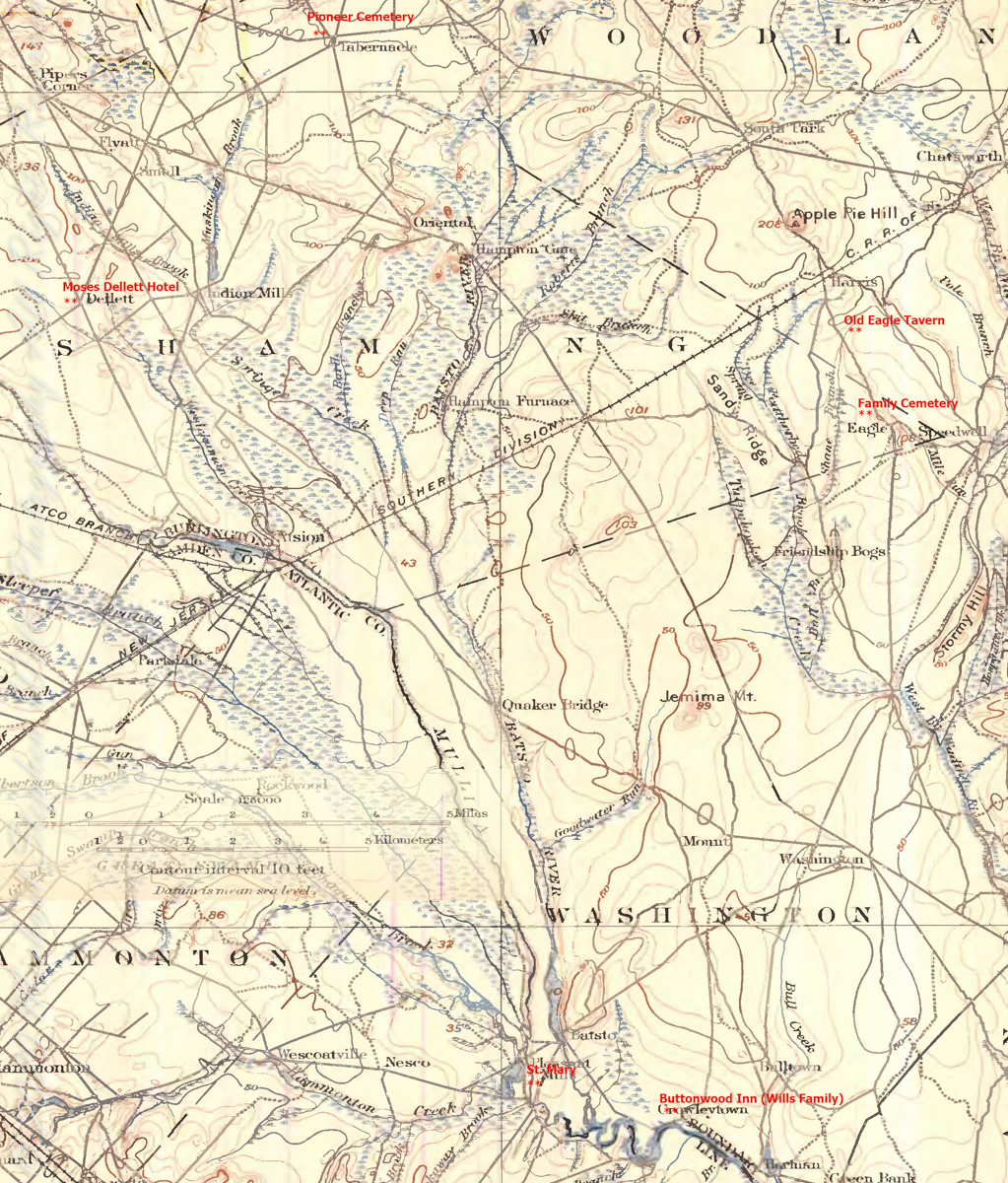
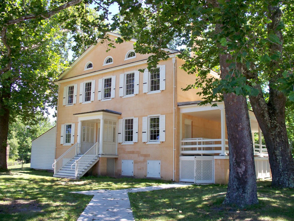
The Eagle Tavern existed for 28 years under various owners and names when James and Mary took over in 1926 serving a clientele, workers and visitors, from the struggling Speedwell Ironworks. Samuel Richards was a brother of Jessie Richards who owned the Batsto Ironworks and who provided the land for St. Mary of the Assumption (see my post Pineland Connections V). St. Mary’s is marked in red, bottom center. Samuel purchased Speedwell December 23, 1833 from Ann Randolph, made improvements and started operations without success before closing for good.

On June 30, 1850, James McCambridge purchased Speedwell from the estate, eight years after Samuel’s passing, for $1,750. At this time he had accumulated over 2,000 acres. In this same year his son, James and wife Ann (Milley) (see my post Pineland connections VI) are listed on the US Census. The family lived either in the Eagle Hotel or close by raising nine (9) children: John (20), Mary Ann (16), James (15), Sarah Jane (14), my great grandmother Margaret (11), William (8), George (6), Edward (5) and Catherine (3). The younger James is employment was making charcoal for the ironworks, most likely for Atsion where Ann was employed. By the 1860 US Census Ann had passed away at the age of 50 and James (97) was living with the younger James and family.
Here is a land ownership map from 1876 on which I marked with red asterisks James McCambridge, Apple Pie Hill, and the Delletts, the family of the second greatgrandmother, Mary Dellett. Dellett landownership is also indicated on the rectangle topographic map.
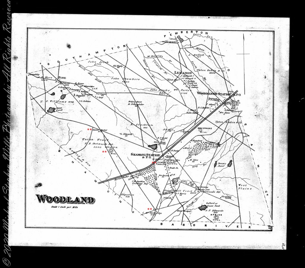
Around the 1850 US census George and Mary Wills lost their two month old son, Charles (See my post Pineland Connections III) who is buried in a family cemetery, land owned by James McCambridge marked in red on the rectangle topographic map. Charles was my greatUncle.


Another breakthrough was identification of the Buttonwood Hill Tavern, Crowleytown as the hotel run by George Wills on the 1850 census. Marked in red on the rectangle topographic map. There was not yet a family union between McCambridge and Wills. That would come with great grandparents George Wills and Margaret McCambridge. The family connection at this time was their shared Roman Catholic faith and Saint Mary of the Assumption church.
Copyright 2021 Michael Stephen Wills All Rights Reserved
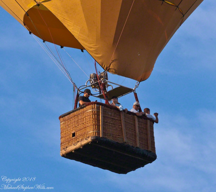
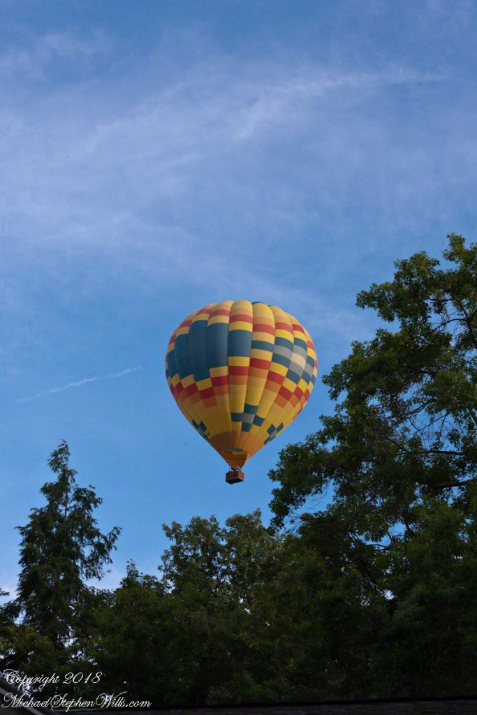
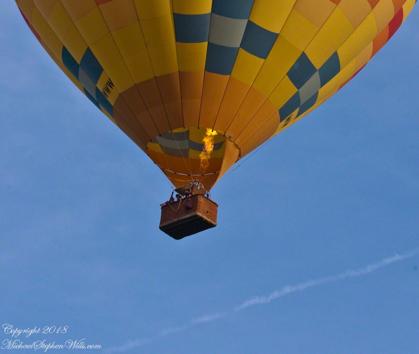
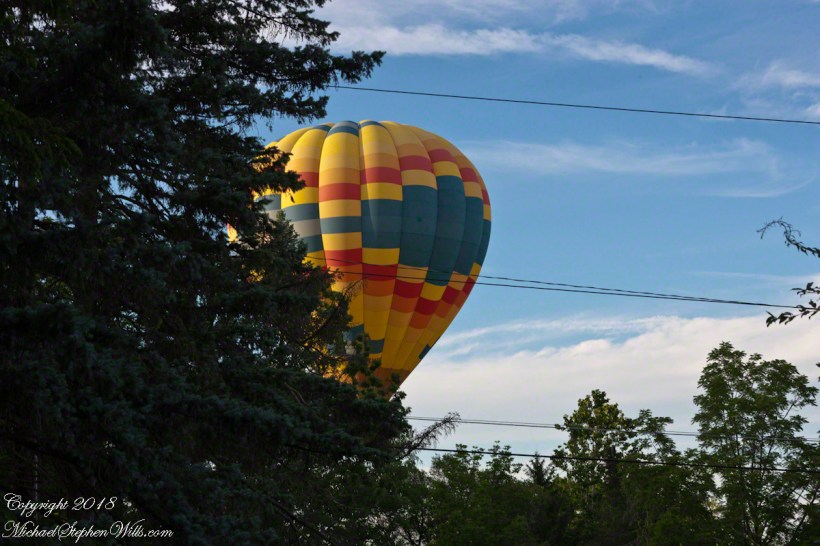
Always surprising and a wonder
Pam and I enjoyed the local hot air balloon for the first time in 2021 floating directly in front of our home, along the valley formed by hills on the east and west, headed north toward Cayuga Lake and descending steadily, looked to have landed close by. I heard the “whoosh, whoosh” of the gas burner first and distinct from a jet landing at Tompkins County airport. Always a thrill to see one up close.


Running the numbers
……continued from “Pinelands Connections I.
Genealogy is a numbers game, in part. Looking back from myself the number of progenitors increase by the formula x = 2^y (2 raised to the y power) where y is the number of generations back. Generation one (my parents) is 2^1 = 2. We have 2^4 = 16 double great grandparents, 8 pairs. Four pairs on my father’s side, four pairs on my mother’s. Saint Mary of the Assumption Cemetery contains one pair of my father’s side, James McCambridge and Ann Milley. The cemetery in Tabernacle contains the other, George Wills and Mary Dellett.
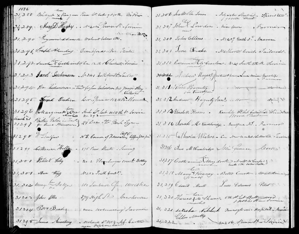
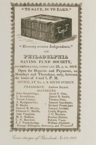
A dry ledger entry reveals a side of Great, great grandmother Ann McCambridge (Milley). The wife of James McCambridge had, under her own name, a savings account with the Philadelphia Saving Fund Society. Ann was a forward thinker to invest in this, the first savings institution of the United States, in the twentieth year of its existence. Work outside the home, as a cook, was her source of funding. We can also infer from the ledger information Ann’s employer was Atison furnace.
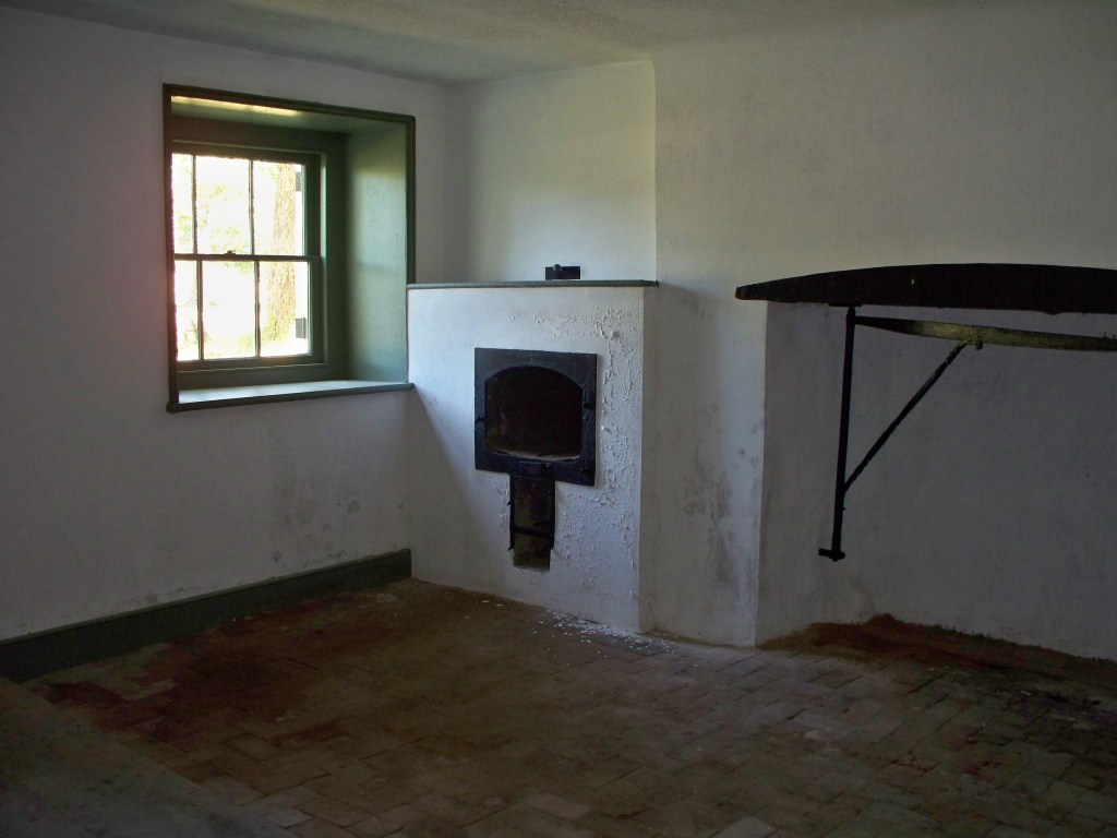
Times were prosperous in Atsion. Thomas Gordon, in his Gazetteer of the State of New Jersey, tells of the size and scope of the works at Atsion in 1834:
Atsion, post-town and furnace, on the Atsion River, partly in Galloway Township, Gloucester County, probably in Washington Township, Burlington County, 9 miles above the head of navigation, 12 miles from Medford, 17 from Mount Holly, on the road leading to Tuckerton, and 57 from Trenton. Besides the furnace, there are here, a forge, gristmill, and three sawmills. The furnace makes from 800 to 900 tons of casting, and the forge from 150 to 200 tons of bar iron annually. This estate, belonging to Samuel Richards, Esq., embraces what was formerly called Hampton furnace and forge, and West’s Mills, and contains about 60,000 acres of land. There are about 100 men employed here, and between 6 and 700 persons depending for sustenance upon the works.
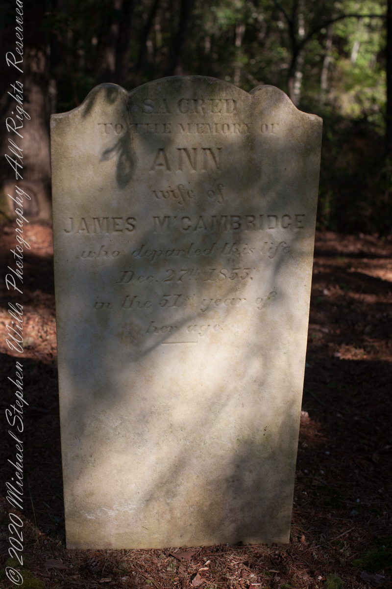
Nineteen years later, Ann passed away two days after Christmas at the young age of 51, her savings may have provided for the elaborate headstone inscription. She left her husband of twenty six years and nine children, the family is listed below with ages from the 1850 U.S. census. Her fifth child, Margaret, my great-grandmother, was sixteen at Ann’s death. The youngest, Catherine, was eight.
James McCambridge Age 44
Ann McCambridge Age 44
John McCambridge Age 20
Mary Ann McCambridge Age 16
James McCambridge Age 15
Sarah Jane McCambridge Age 14
Margaret McCambridge Age 11
William McCambridge Age 8
George McCambridge Age 6
Edward McCambridge Age 5
Catherine McCambridge Age 3
James McCambridge and Ann Milley were born the same year, 1805, in or near the Pinelands. The married at the age of twenty two, February 25, 1829. A son, John, was born 18 months later, August 7, 1830. In 1850 James supported his wife and nine children as a “collier”, producing charcoal for the furnaces. He lived on for 31 years with their children.
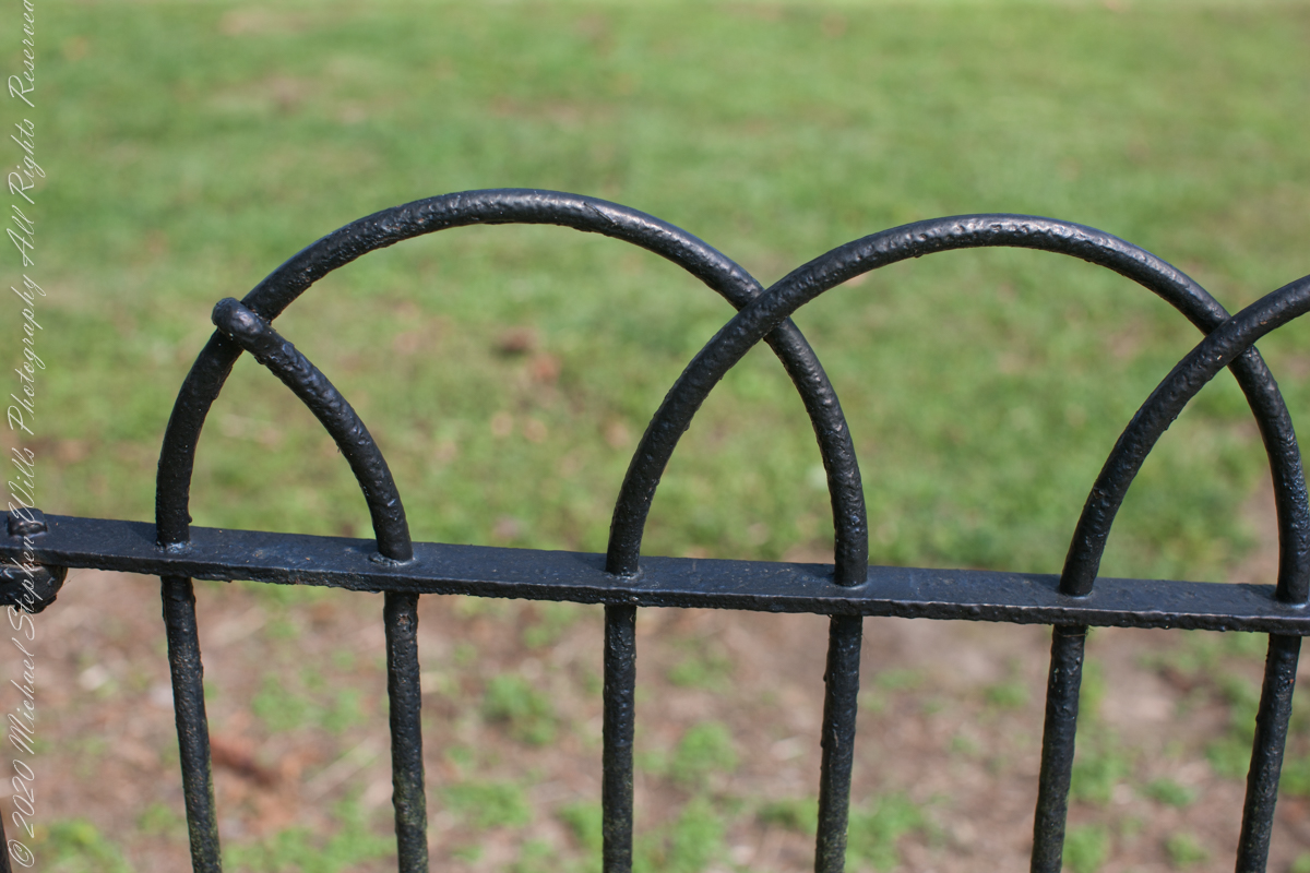
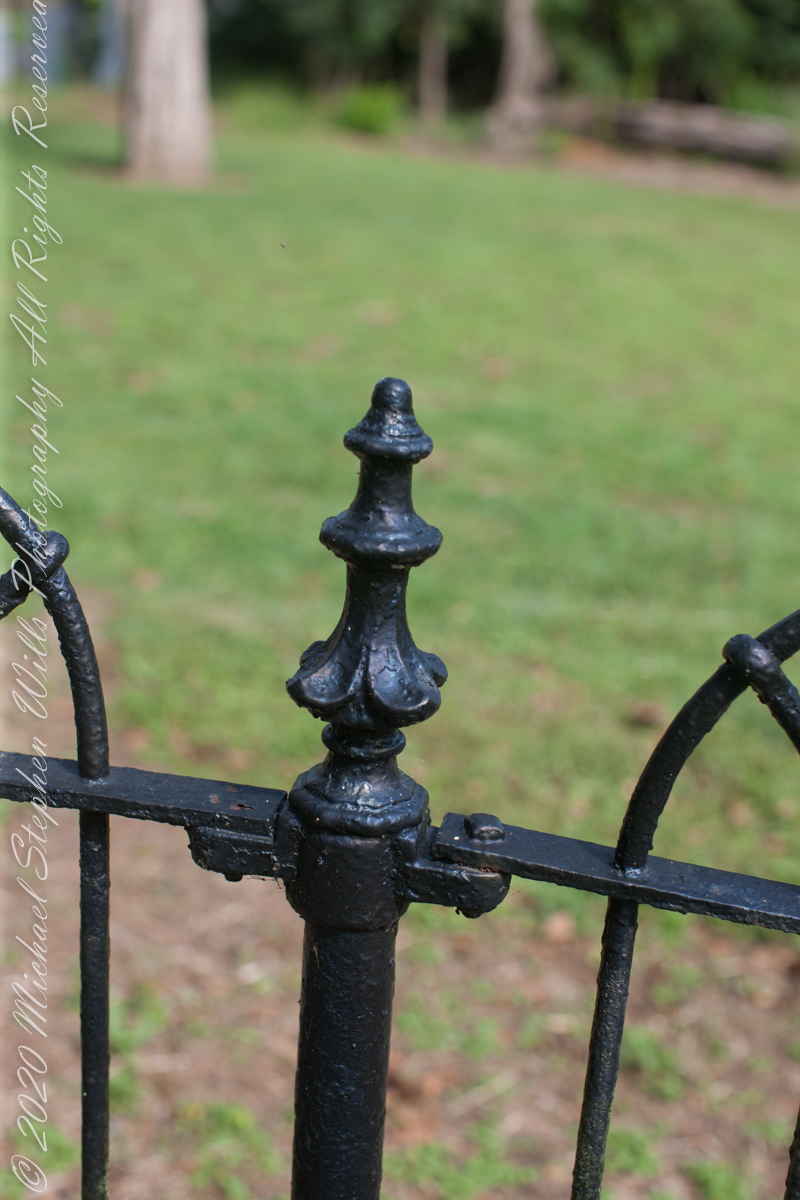
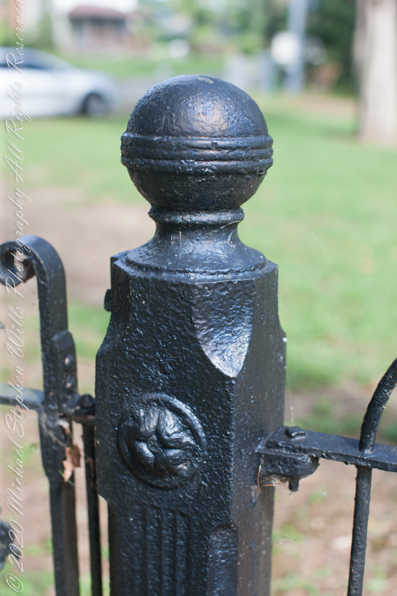
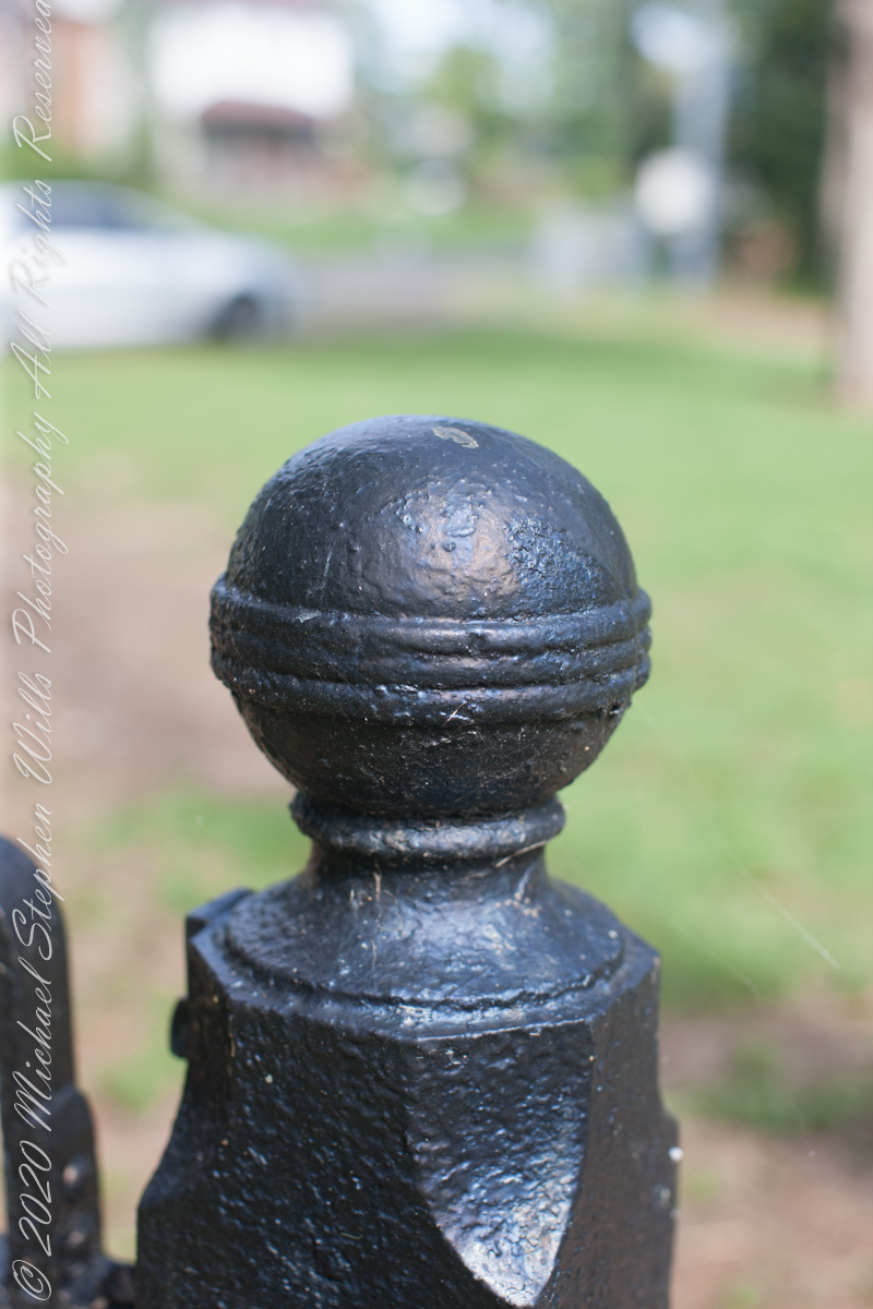
From Bog Iron “ironmasters of the Pine Barrens made cannonballs by the thousand and sent them by wagon over the sand roads and on to the Continental Army at Valley Forge and elsewhere. They brought in seashells for flux, and used charcoal from the pinewoods to fire their forges and furnaces. They made cannon as well as shot, and they ordnance the War of 1812 as well as the American Revolution. The twenty-four-pounders (cannons) with which Stephen Decatur armed his flagship when he took his Marines to Algiers, Tunisia, and Tripoli were cast at Hanover Furnace (later named Atsion),in the Pine Barrens, in 1814, and Decatur himself were there to supervise the casting and test the product……Ironworkers in the pines made the steam cylinder for one of John Fitch’s experimental steamboats, and they made the wrought-iron fence that once surrounded Independence Hall….Iron stoves that bear the town name Atsion over their fuelling doors were made in a community that had a population of seven hundred in the early nineteenth century and has a population of fifteen today.” from “The Pine Barrens” by John McPhee, November 25, 1967.
References
Atsion Furnace https://www.njpinebarrens.com/atsion-part-2-prosperity-and-decline/
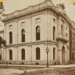
Philadelphia Saving Fund Society Encyclopedia of Greater Philadelphia | PSFS (philadelphiaencyclopedia.org)
Copyright 2021 Michael Stephen Wills All Rights Reserved
