
Church Ruin on Inishmore
Join me on a journey through Inishmore, Galway Bay on a horse-drawn carriage. We’ll see a ruined church, horse pasture, and iron age fort, Dun Aengus, with reflections on the word ‘riven.’
Join me on a journey through Inishmore, Galway Bay on a horse-drawn carriage. We’ll see a ruined church, horse pasture, and iron age fort, Dun Aengus, with reflections on the word ‘riven.’

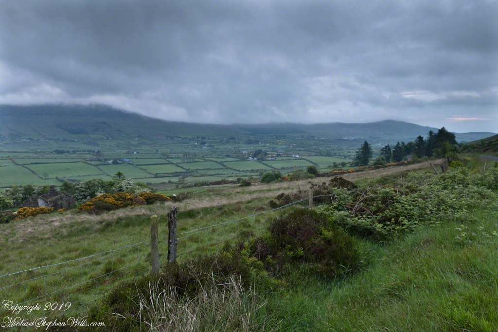
Looking east
This the fifth and final of a series of landscape photographs taken from this position.

The peak is named, in the English language, Slievenaglogh. It is so strange as it’s not English, being instead a transliteration of the Irish name “Sliabh na gCloch.” This is “Rock Mountain” translated literally. Slievenaglogh is carried to the townland, a long thin swath of land being the peak and associated ridge-line.
The rocks up there are called “gabbro,” a type of magma slowly cooled under ground. Slievenaglog, Slieve Foy across the valley, and the Morne mountains all formed within volcano magma chamber(s) of the Paleocene, 66 million years ago, a time associated with extensive volcanism and the Cretaceous–Paleogene extinction event that gave rise to the current age.
Our younger cousin has been up there, optimistically we left it for a later trip.


Charlemagne
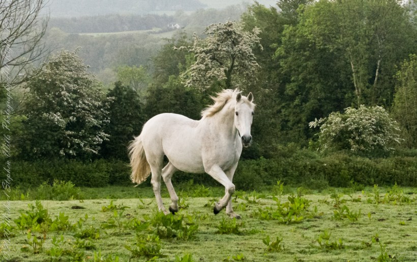
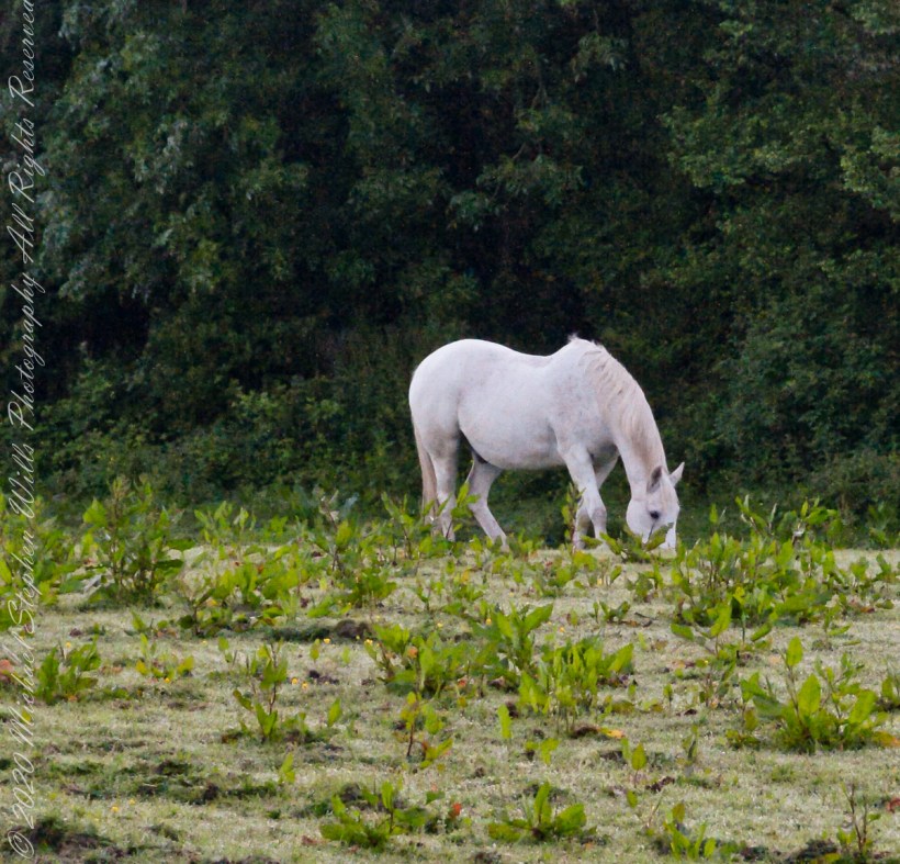
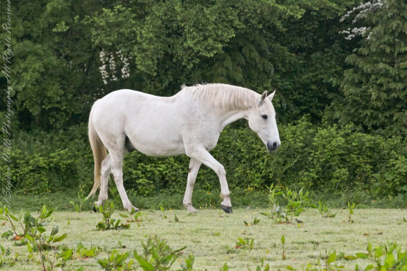
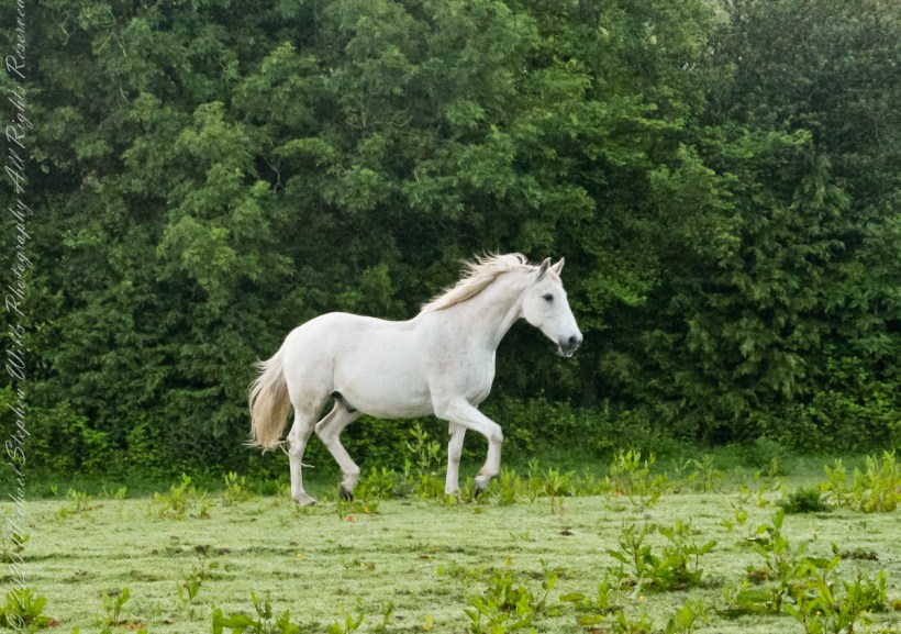
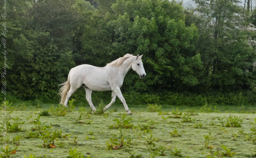
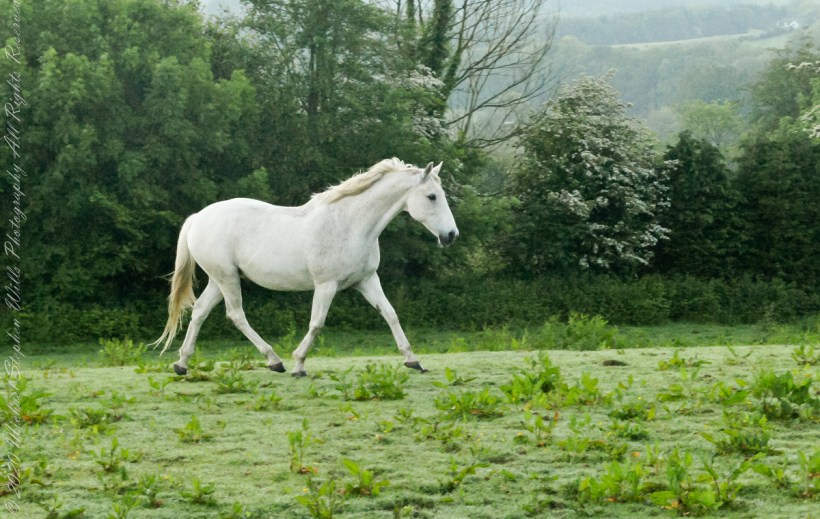
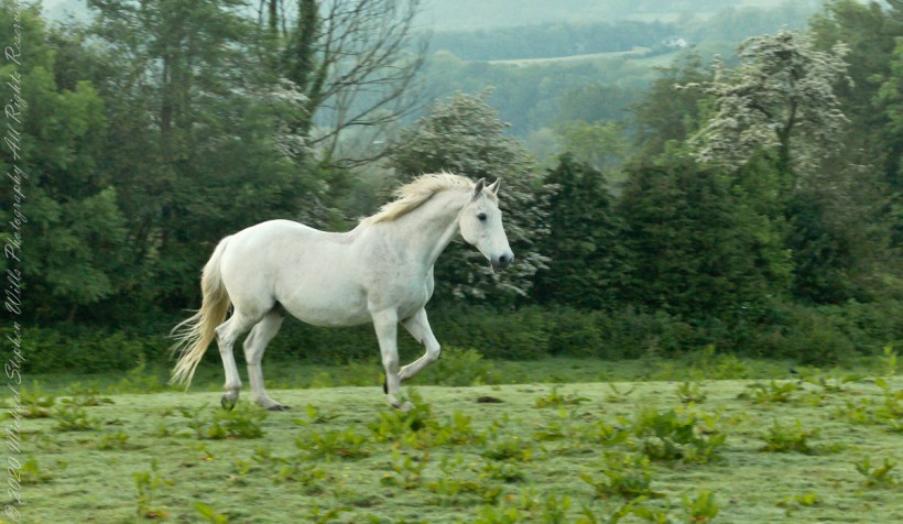
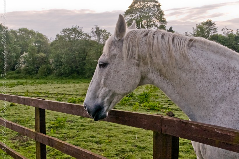
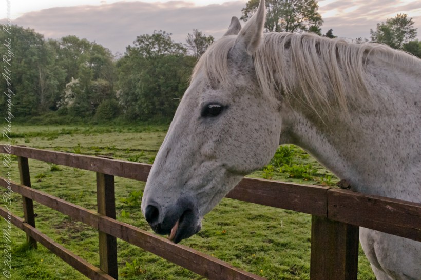
Continued….yesterday included a view along a fairway of Saint Ann’s Hill on which Marantha House B&B is sited. Not far away was a pasture where Charlemagne, a rescued former show horse lives. Our first evening, the one just before this morning, I brought an apple out to Charlemagne. The next morning I returned with another apple to share. Charlemagne rewarded me with a brilliant approach I captured below with my Sony Alpha DSLR with variable lens.

Copyright 2021 Michael Stephen Wills All Rights Reserved
