Loughan Bay Ruins, County Antrim

Deserted Cottages above the Irish Sea

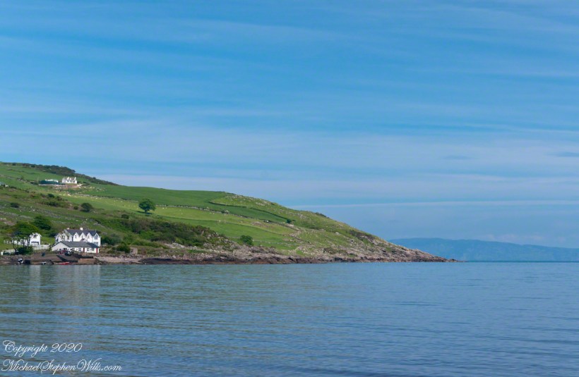
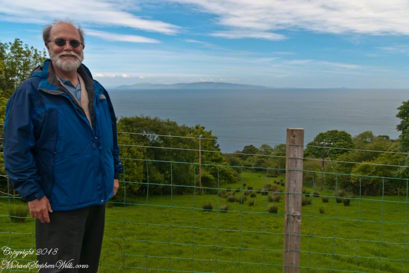
We pulled off the side of Torr Road for this fine view on the way to Torr Head to take in this view of the Irish Sea.  The steeply rising distant headland is the Mull of Kintyre. Loughan an Lochan, County Antrim, Northern Ireland.

Michael Wills – CLICK ME for my Getty Portfolio.

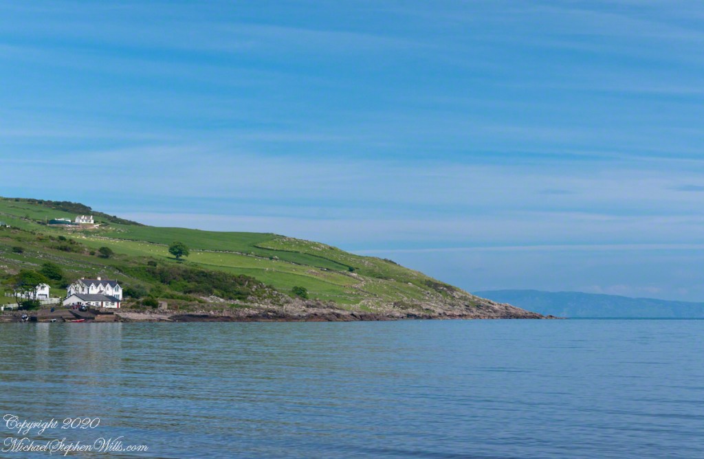
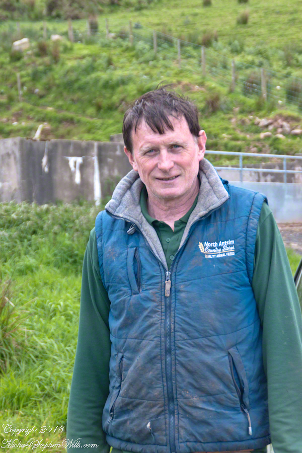
We parked on a turnout above the Loughan Cottages, near this farmer’s sheep pen.  He drove up in a huge tractor and conversed with Pam while I was below shooting the cottages. He made a good impression.

Loughan Bay Farmer – CLICK ME for my Getty Portfolio.

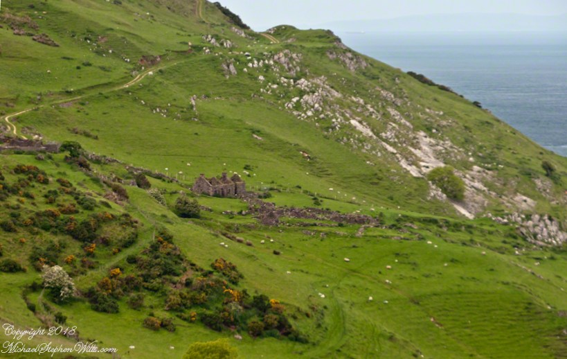
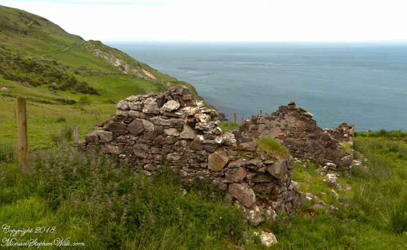
Roofless walls of a cottage more substantial than the other deserted ruins above Loughan Bay, with two fireplaces a walled porch with a view. A number of outbuilding foundations lay around. The integrity of the walls, chimneys and gables speaks to the quality of construction. A freighter in the North Channel of the Irish Sea is visible in the distance above the upper ridge. Beyond is the island of Islay, Scotland, about 30 miles distant. Loughan an Lochan, County Antrim, Northern Ireland.

I am happy to report a series of thirteen (13) photographs of these ruins were accepted for publication by Getty.  You can click any of the photographs in this posting for my Getty portfolio.

Loughan Cottages Ruins above Crockan Point – CLICK ME for my Getty Portfolio.

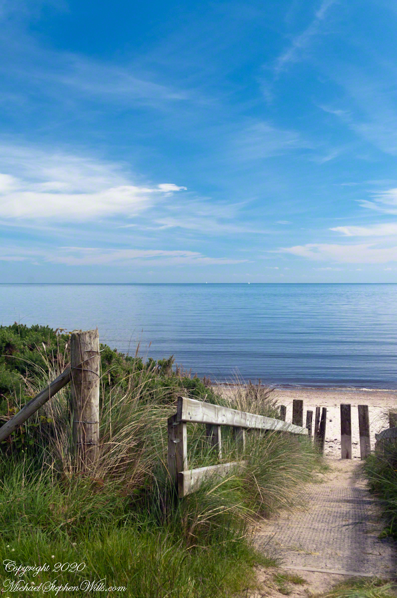
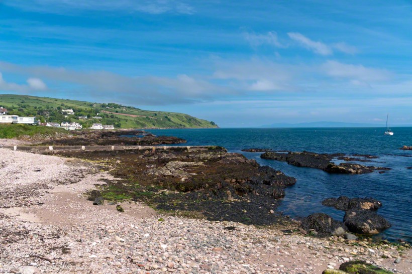
The land slopes steeply to a rocky beach.

Ruin Above Loughan Bay – CLICK ME for my Getty Portfolio.

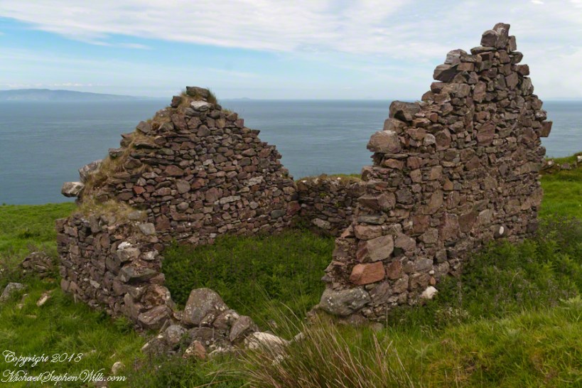
A thick growth of ferns, grass on the gable was once a home with a view of Scotland’s Mull of Kintyre 13 miles across the North Channel of the Irish Sea.  The Isle of Sanda just visible on the right of the far gable.  A landform named Alisa Crag is just visible in the distance, to the left of the nearest gable. 

Single Room Loughan Bay Cottage – CLICK ME for my Getty Portfolio.

Please browse my reasonably priced stock photography. License a photograph, download and use it for your website or blog. Click this link to browse all my Getty IStock Photography offerings.

Or click this link or any photograph or this link to select a print with custom framing from my “Ireland” Fine Art Gallery.

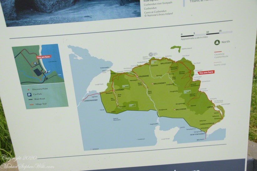
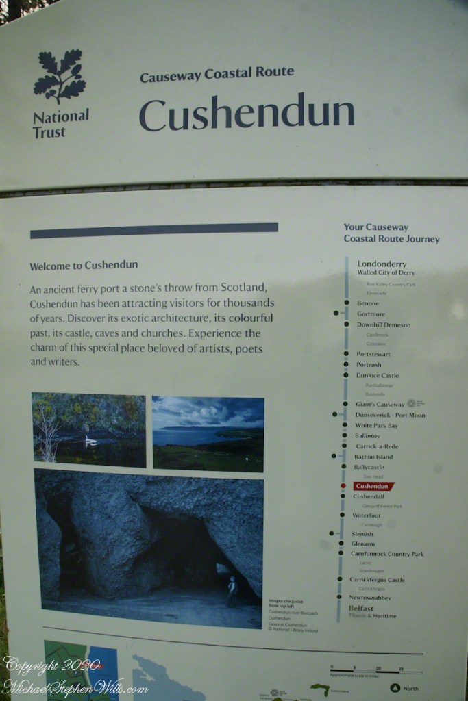
Interested in learning more about this site?  I have a series of postings on Loughan Bay.  Click for the first posting in this series.

Copyright 2021 Michael Stephen Wills, All Rights Reserved.

Cushendun Published

Photography accepted this week by Getty

Click me to visit Getty, my recently accepted Cushendun photography.

Copyright 2020 All Rights Reserved Michael Stephen Wills

Cushendun, more information and good bye, for now

…upon the sea-sand….

The National Trust manages the heritage lands on this coast and throughout Great Britain. Looked up Cushendun on their web site and there is some useful information there. If you are touring Great Britain, a National Trust membership is a worthwhile investment. Sadly, there is a notice on the site about Coronavirus restrictions….and closures.

I learned Red Squirrels, an endangered species on the island, have an enclave at Cushendun. We didn’t visit the forested location where they live. We keep up with their antics looking out the window here at home where, thanks to our hemlocks, spruce and walnut trees the species is thriving.

Click photograph for a larger view. To do this from WordPress Reader, you need to first click the title of this post to open a new page.

Here are several more of the information placards near the harbor explaining some local natural and tourism information.

Our travels this day, on the chart, were from Cushendun to Giant’s Causeway.

The last view of Cushendun town as we mounted the steep hill, Torr Road. The dashboard and windshield of out tiny car in the foreground.

Copyright 2020 All Rights Reserved Michael Stephen Wills

Cushendun, a house

…upon the sea-sand….

Here is another information placard found near Cushendun harbor, with a lovely poem.

Click photograph for a larger view. To do this from WordPress Reader, you need to first click the title of this post to open a new page.

Here are several of the information placards near the harbor explaining some local history.

Here is a house on the Cushendun harbor road, windows opening to the Irish Sea. Doesn’t it go well with the poem?

Copyright 2020 All Rights Reserved Michael Stephen Wills

Cushendun Beach View North by Northwest

Nearest Ferry, today

Today, the nearest ferry is just over an hour south, on the M2, Belfast and there is no option for the Mull of Kintyre. You can go to Cairnyan, Scotland; Douglas, Isle of Mann; or Liverpool, England.

Torr Road lopes over the hill, upper right.

Click photograph for a larger view. To do this from WordPress Reader, you need to first click the title of this post to open a new page.

Copyright 2020 All Rights Reserved Michael Stephen Wills

Cushendun Beach View North, ferry destination

Across the Water

North is a glimpse of land across the water, a reason Cushendun was a ferry port since ancient times: the Mull of Kintyre across the North Channel. The ridge to the sea is townland Tornamoney (Irish Tor na monadh).

Click photograph for a larger view. To do this from WordPress Reader, you need to first click the title of this post to open a new page.

Copyright 2020 All Rights Reserved Michael Stephen Wills

Cushendun Beach View South

Tableland

Standing on the beach at Cushendun village, looking south to take in the broad sweep of the shallow bay.

Click photograph for a larger view. To do this from WordPress Reader, you need to first click the title of this post to open a new page.

Copyright 2020 All Rights Reserved Michael Stephen Wills

Cushendun View East

Tableland

Standing on the beach at Cushendun village, looking east towards the Scottish coast, just over the horizon. Cushendun is an ancient ferry port.

Click photograph for a larger view. To do this from WordPress Reader, you need to first click the title of this post to open a new page.

Copyright 2020 All Rights Reserved Michael Stephen Wills

Cushendun View West

Tableland

Standing on the beach at Cushendun village, looking west towards the glens. The Antrim coast is notable for the rising tablelands of broad, eroded valleys, or glens.

Click photograph for a larger view. To do this from WordPress Reader, you need to first click the title of this post to open a new page.

Copyright 2020 All Rights Reserved Michael Stephen Wills

Cushendun View North

Neat and tidy

Here is a view of our route to Torr Head standing on the beach at Cushendun, facing north. The village name in Irish is Cois Abhann Doinne, meaning at the foot of the river Dun, the land here and bay formed by the outflow of rivers from the glens.

Click photograph for a larger view. To do this from WordPress Reader, you need to first click the title of this post to open a new page.

Copyright 2020 All Rights Reserved Michael Stephen Wills