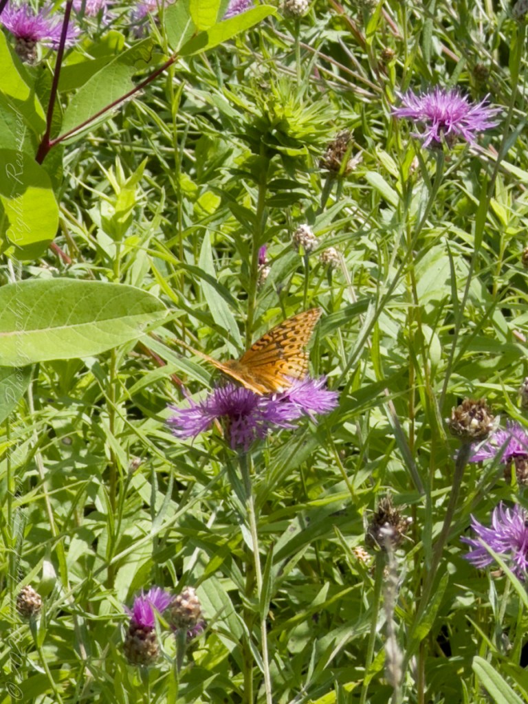
The range of the Meadow Fritillary covers eastern British Columbia east through southern Canada and the northern part of the US to Newfoundland, south to north central Oregon, central Colorado, northeast Tennessee, and northwest North Carolina.
This species is found throughout the Northeast and New England. It is said to have significantly expanded its range southward in recent years. Adult Meadow Fritillaries feed on nectar from a variety of plants, including Black-eyed Susans, dandelions, and Ox-eyed Daisies.
The Meadow Fritillary’s flight pattern is usually described as rapid, low, and jerky.
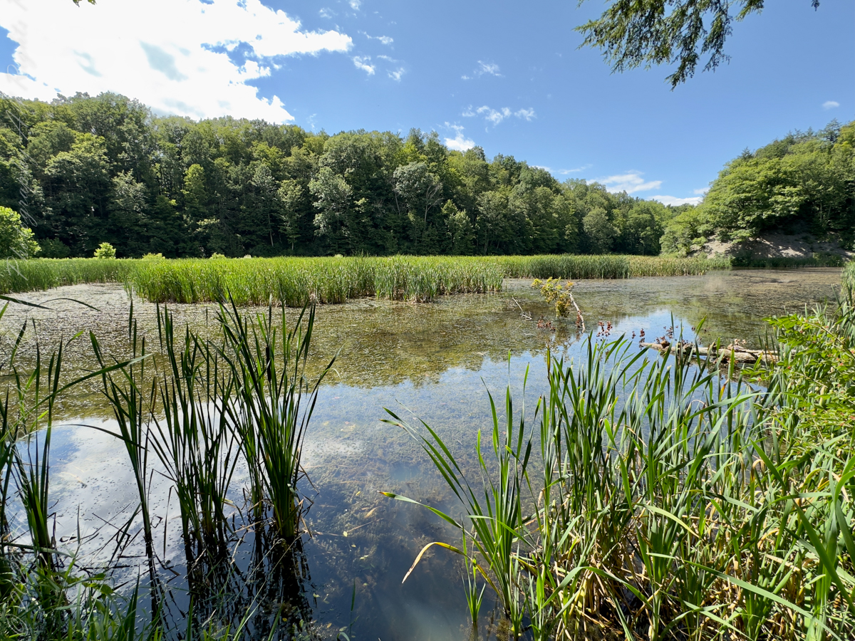
This specimen was found among many others in a meadow of the Brock-Harvey Forest Preserve
Several possible sources have been proposed for the name Taughannock, all of which describe Native American origins. One translation suggests that the name is derived from a combination of Iroquois and Algonquin terms meaning “great fall in the woods”. An alternate theory suggests that the name may refer to a Lenni Lenape (Delaware) chief named Taughannock who died near the falls during a battle.
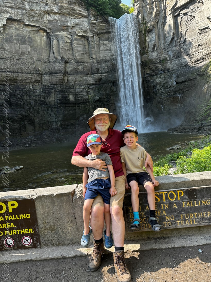
A nice lady offered to take the photo….challenged to keep it straight.
During the second half of the nineteenth century, steamboats, railroads and Victorian hotels were built in the region to serve tourists who traveled to view the falls. By 1925 the hotels were failing due to a decline in tourism, and New York State began acquiring land to form a park.
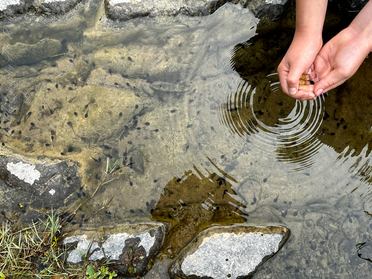
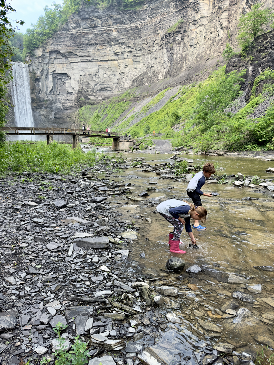
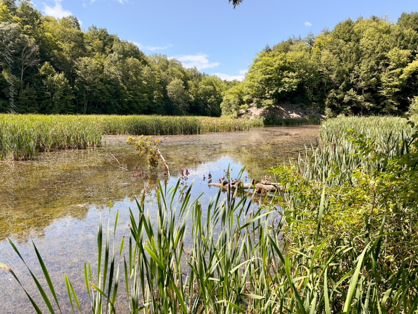
Pollywogs!! Catch and release
J.S. Halsey built a two and a half story hotel in 1850, known variously as the Cataract Hotel or Taughannock House (or simply as Halsey’s Hotel) at the Taughannock Falls Overlook.
Visitors could reach the hotel by taking a train to Cayuga Lake, take a steamboat across the lake to Goodwin’s Point, then finally board a stagecoach to reach the hotel. The hotel site today is the location of the park visitor center and parking lot.
Enjoy!!
Copyright 2023 Michael Stephen Wills All Rights Reserved
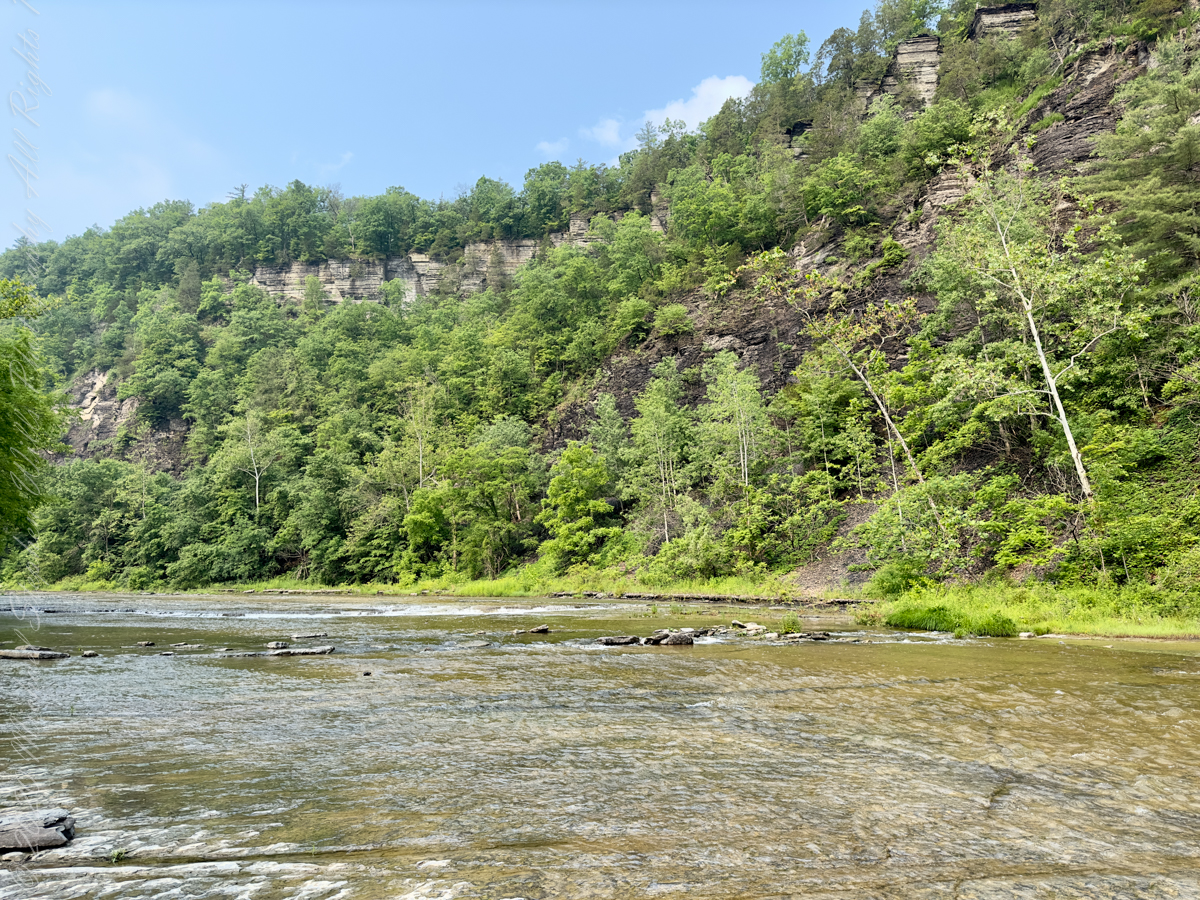
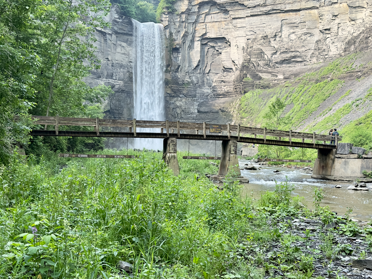
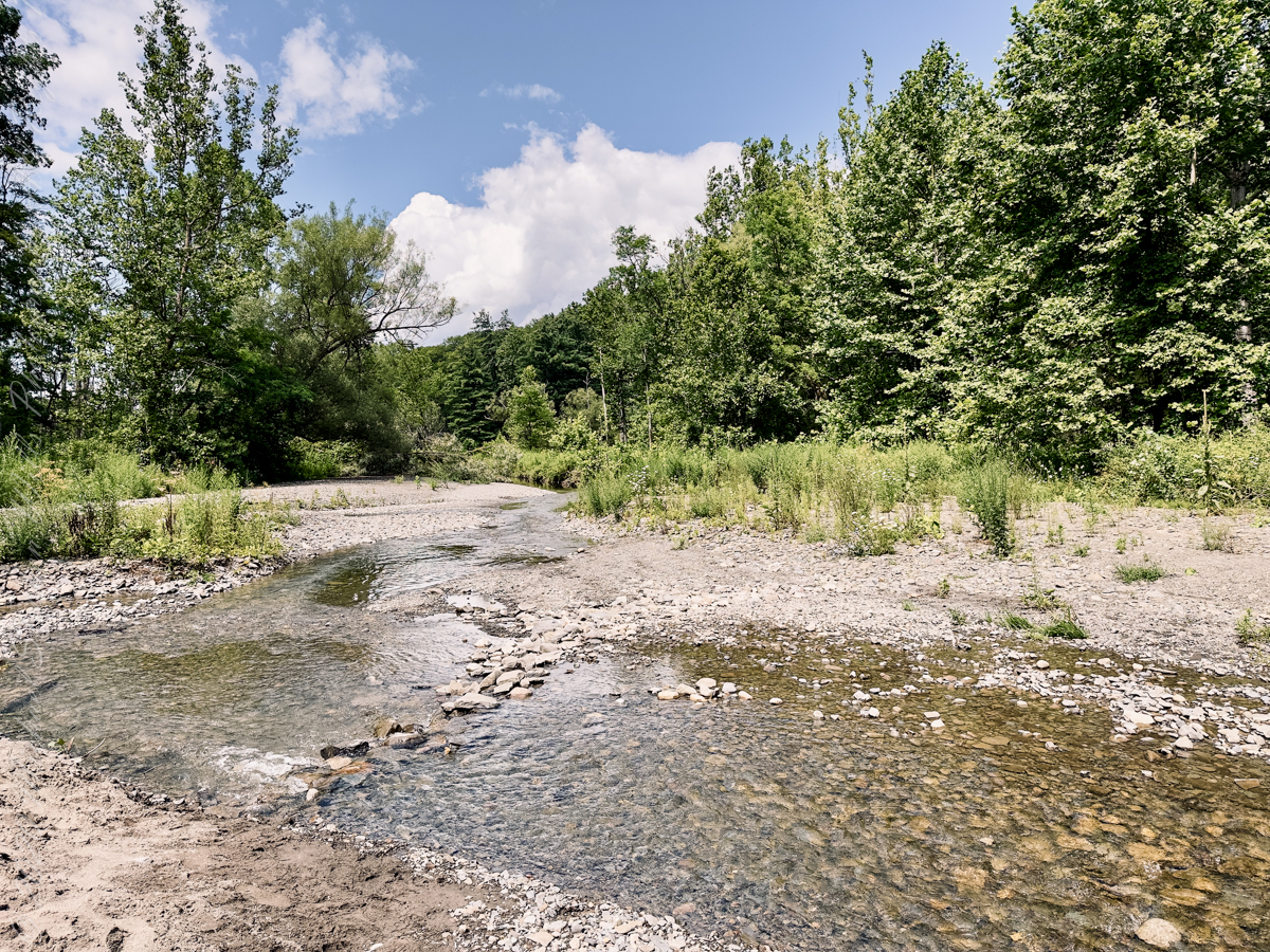
The waterfall and gorge comprise an example of a hanging valley, formed where Taughannock Creek’s stream-carved valley meets the deeper glacially carved valley that contains Cayuga Lake.
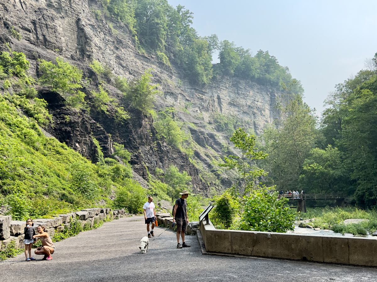
The gorge has continued to retreat westward from Cayuga Lake as easily eroded shale near the fall’s base is worn away by the stream, which supports erosion-resistant siltstone and sandstone found in the upper portions of the gorge.
Pollywogs!! Catch and release
Annual freeze and thaw cycles also act upon small faults in the rock, causing large sections to occasionally break away, further expanding the gorge.
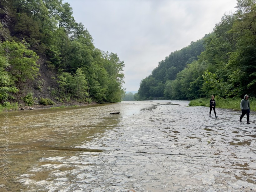
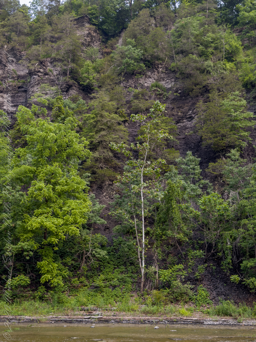
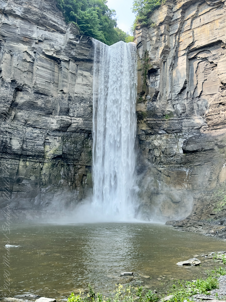
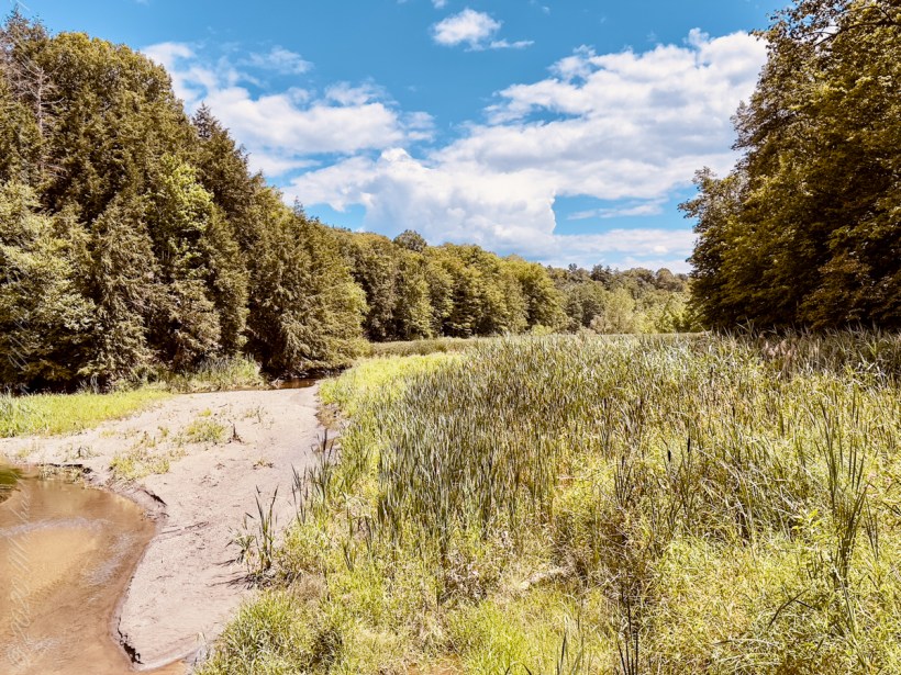
Taughannock Falls’ main cataract is a 215-foot drop (66 m), making it 33 feet (10 m) taller than Niagara Falls. It is the tallest single-drop waterfall east of the Rocky Mountains. The waterfall is located along Taughannock Creek, which flows through a long gorge with cliffs up to 400 feet (120 m) high.
Enjoy!!
Copyright 2023 Michael Stephen Wills All Rights Reserved
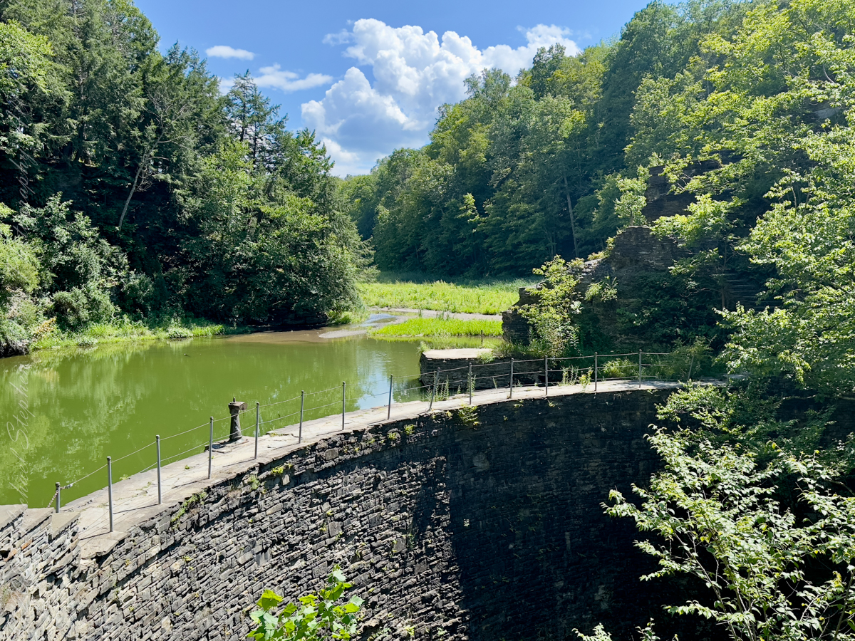
Dam on Buttermilk creek that forms Lake Treman. Here is stunning Civilian Conservation Corp (1930’s) work in this 36-foot-high stone dam that is not only a spectacle to observe but also serves as part of the trail that encircles Lake Treman. The man-made lake’s wooded shores and placid waters are a stark comparison to the gorge’s rocky cliffs and surging water
August 2023, Buttermilk Falls New York State Park, Ithaca, Tompkins County, New York.
Copyright 2023 Michael Stephen Wills All Rights Reserved
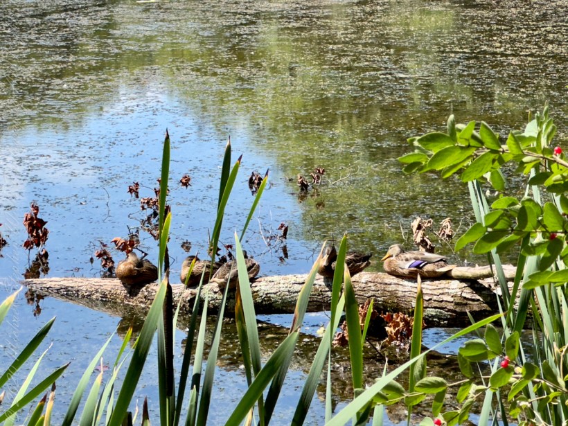
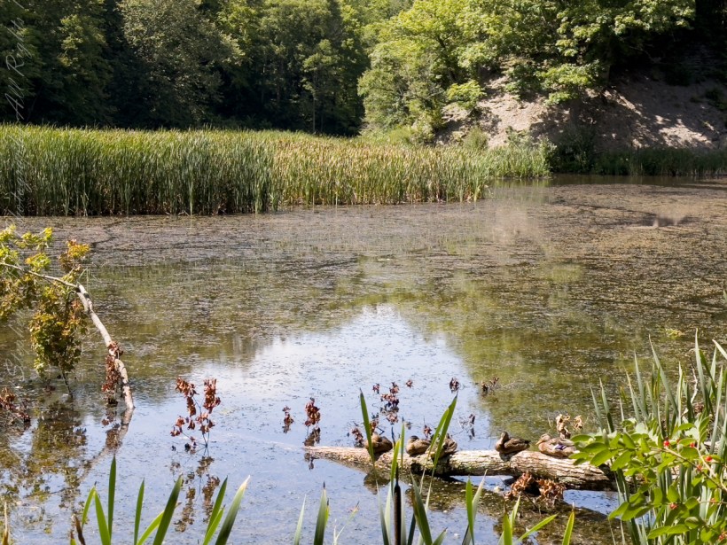
Two species of wild ducks rest on a fallen tree trunk.
That is a female Wood Duck (Aix sponsa) on right.
Wood Ducks mainly eat berries, acorns, and seeds, but also insects, making them omnivores. They are able to crush acorns after swallowing them within their gizzard.
August 2023, Buttermilk Falls New York State Park, Ithaca, Tompkins County, New York.
Copyright 2023 Michael Stephen Wills All Rights Reserved
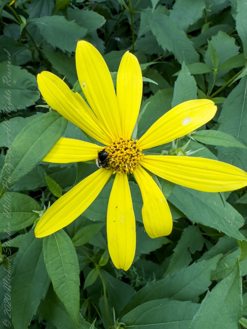
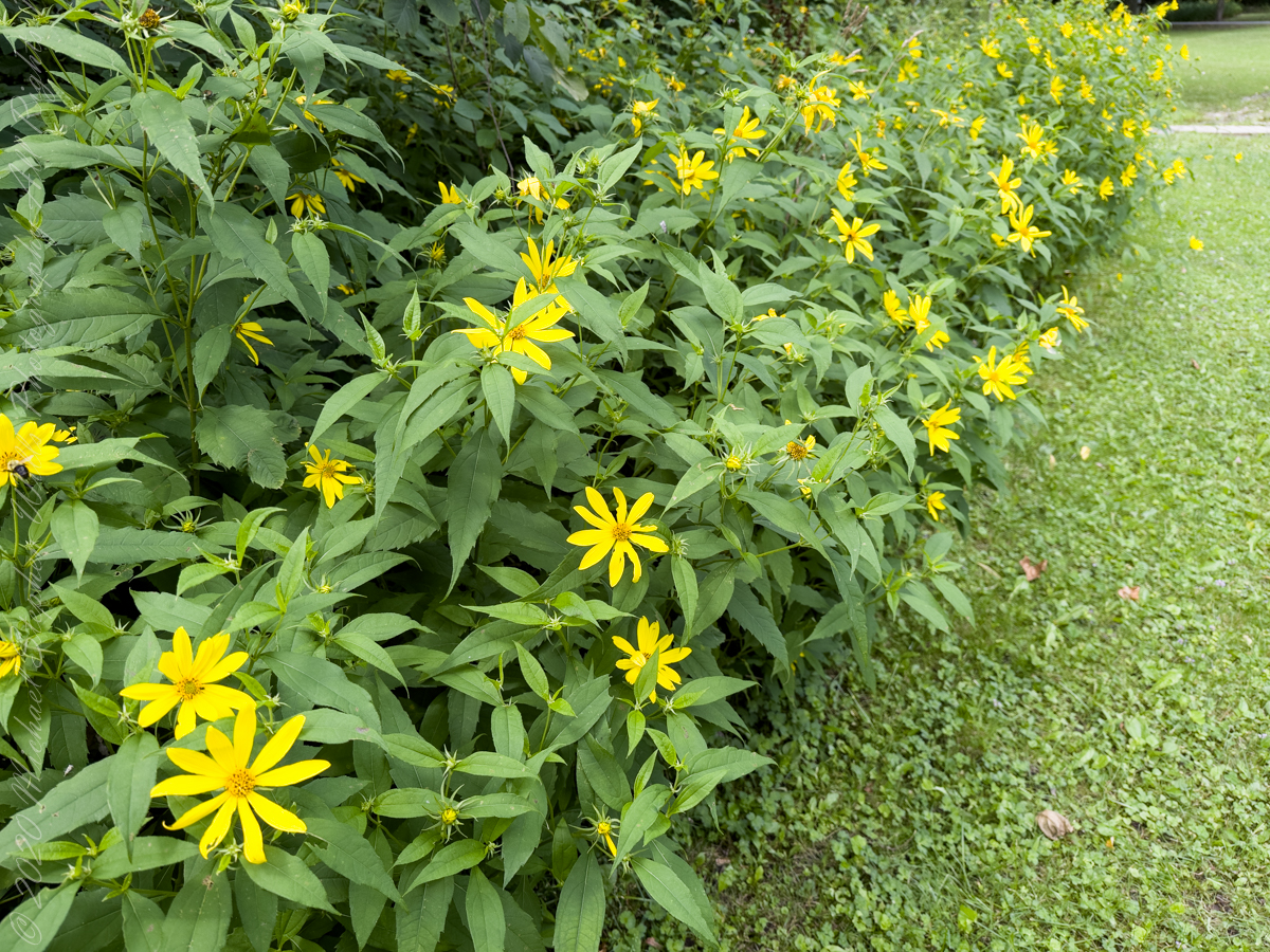
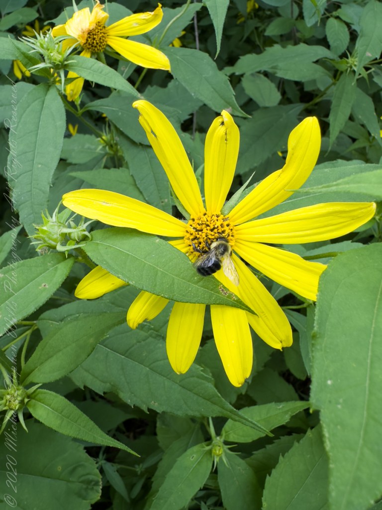
As with other members of the family Asteraceae, Thin Leaved Sunflowers are composed of ray florets. The scientific species name “decapetalus” is inaccurate on several counts. The flower is composed of 8-12 (not only 10, as in “deca”) of these ray florets, not petals. These ray florets are part of the flower reproductive organs, a flower petal is adjacent to, not a component of, a flowers reproductive parts.
The flowers attract many kinds of insects, including bees and butterflies, some of which, such as the painted lady and the silvery checkerspot, use the plant as a larval host. The seeds provide a source of food for birds. Muskrats eat the leaves and stems and use the stems in the construction of their lodges. Here we see a honeybee gathering nectar and pollen.
August 2023, Buttermilk Falls New York State Park, Ithaca, Tompkins County, New York.
Copyright 2023 Michael Stephen Wills All Rights Reserved
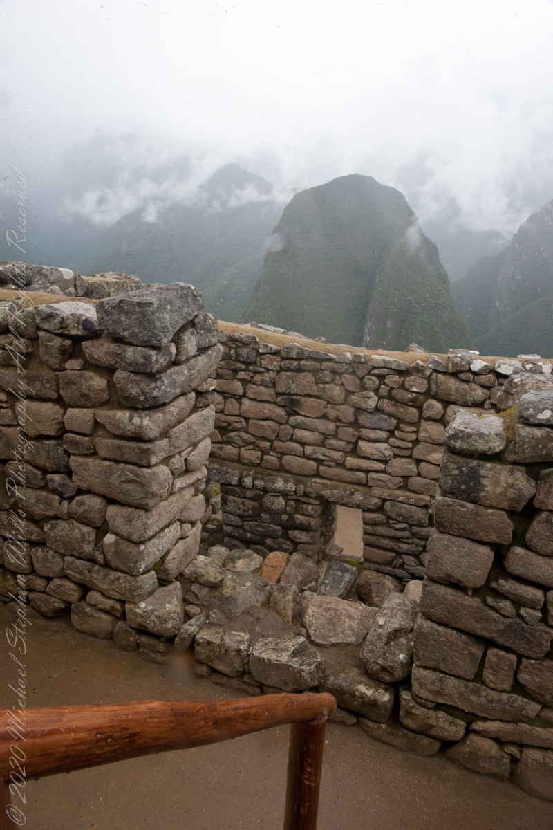
It was from reviewing this photograph, and others, I realized the photo of the woman being evacuated did not include the guardhouse. That is the guardhouse high above us.
This photo taken from the rock wall foreground in previous photo.
“Embedded within a dramatic landscape at the meeting point between the Peruvian Andes and the Amazon Basin, the Historic Sanctuary of Machu Picchu is among the greatest artistic, architectural and land use achievements anywhere and the most significant tangible legacy of the Inca civilization. Recognized for outstanding cultural and natural values, the mixed World Heritage property covers 32,592 hectares of mountain slopes, peaks and valleys surrounding its heart, the spectacular archaeological monument of “La Ciudadela” (the Citadel) at more than 2,400 meters above sea level. Built in the fifteenth century Machu Picchu was abandoned when the Inca Empire was conquered by the Spaniards in the sixteenth century. It was not until 1911 that the archaeological complex was made known to the outside world.“
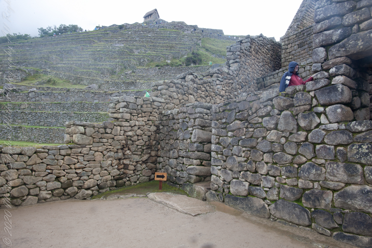
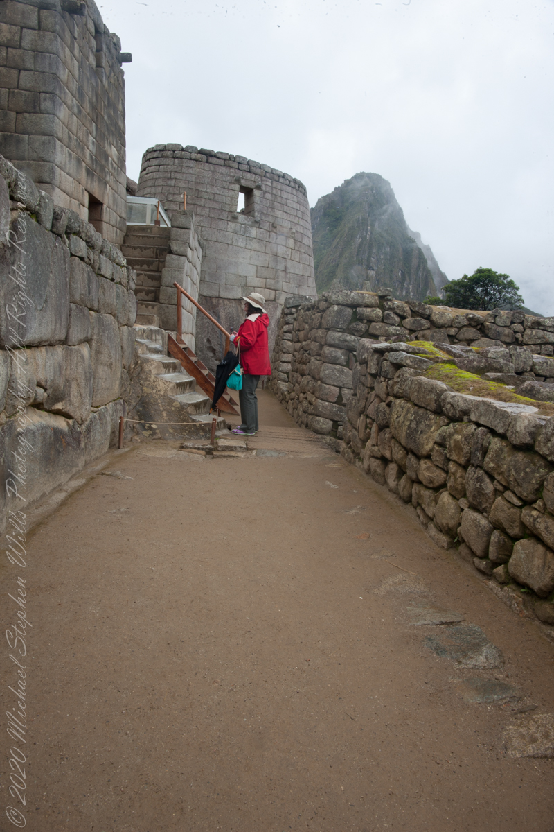
Pam waiting her turn to ascend stairs. Notice the closely joined dry wall stones above her and to the left. Compare with the rougher work to right.
“The approximately 200 structures making up this outstanding religious, ceremonial, astronomical and agricultural center are set on a steep ridge, crisscrossed by stone terraces. Following a rigorous plan the city is divided into a lower and upper part, separating the farming from residential areas, with a large square between the two. To this day, many of Machu Picchu’s mysteries remain unresolved, including the exact role it may have played in the Incas’ sophisticated understanding of astronomy and domestication of wild plant species.“
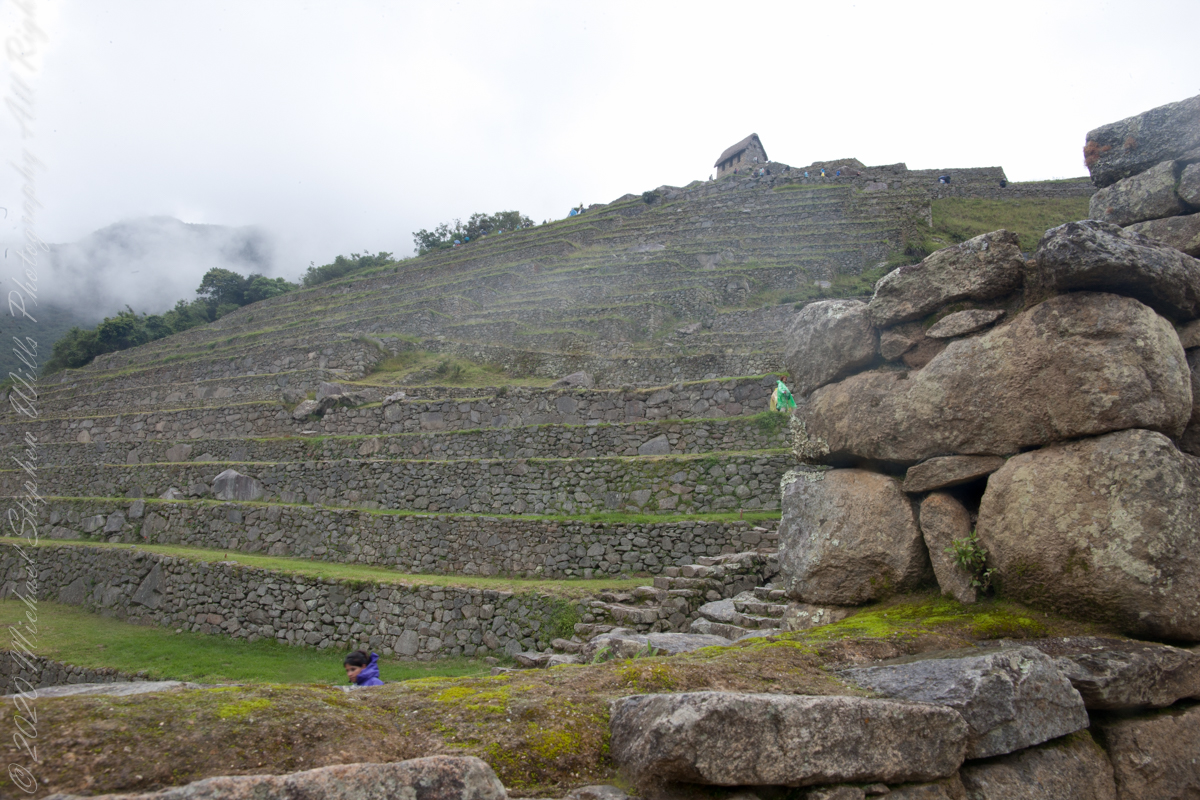
View from the stairs
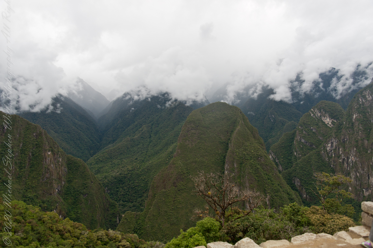
“The massive yet refined architecture of Machu Picchu blends exceptionally well with the stunning natural environment, with which it is intricately linked. Numerous subsidiary centers, an extensive road and trail system, irrigation canals and agricultural terraces bear witness to longstanding, often on-going human use. The rugged topography making some areas difficult to access has resulted in a mosaic of used areas and diverse natural habitats. The Eastern slopes of the tropical Andes with its enormous gradient from high altitude “Puna” grasslands and Polylepis thickets to montane cloud forests all the way down towards the tropical lowland forests are known to harbour a rich biodiversity and high endemism of global significance. Despite its small size the property contributes to conserving a very rich habitat and species diversity with remarkable endemic and relict flora and fauna.“
Pam and Mike pose at the overlook, February 2016. “We were there!!”
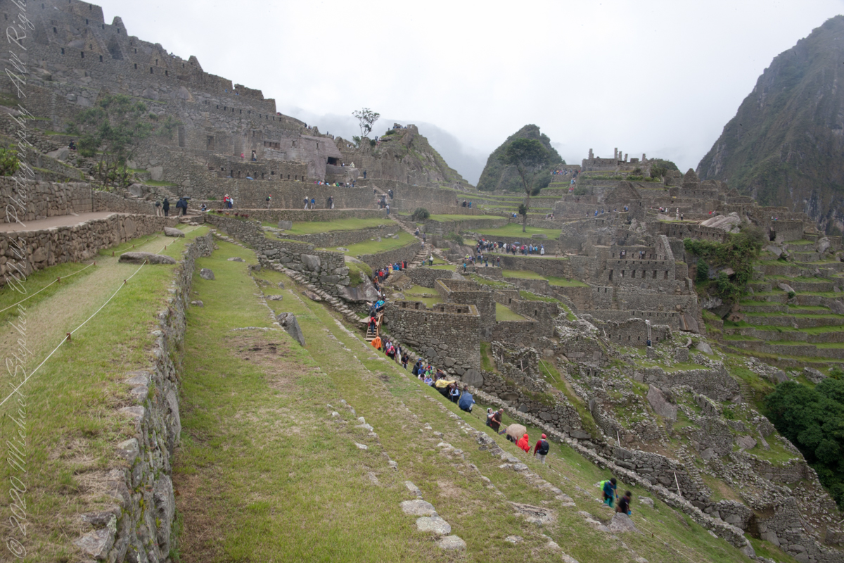
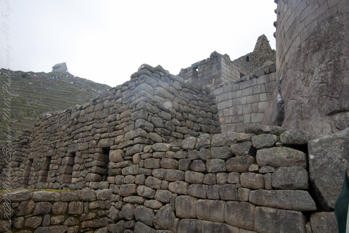
The plateau on which the city was built was also the place where the construction materials were extracted. The rock quarry – this can still be found in the city of Machu Picchu. So, the Incas had no major difficulties in constructing the stone blocks.
The majority of construction bricks, rocks are rather small, unlike in the case of Ollantaytambo and Sacsayhuamán.
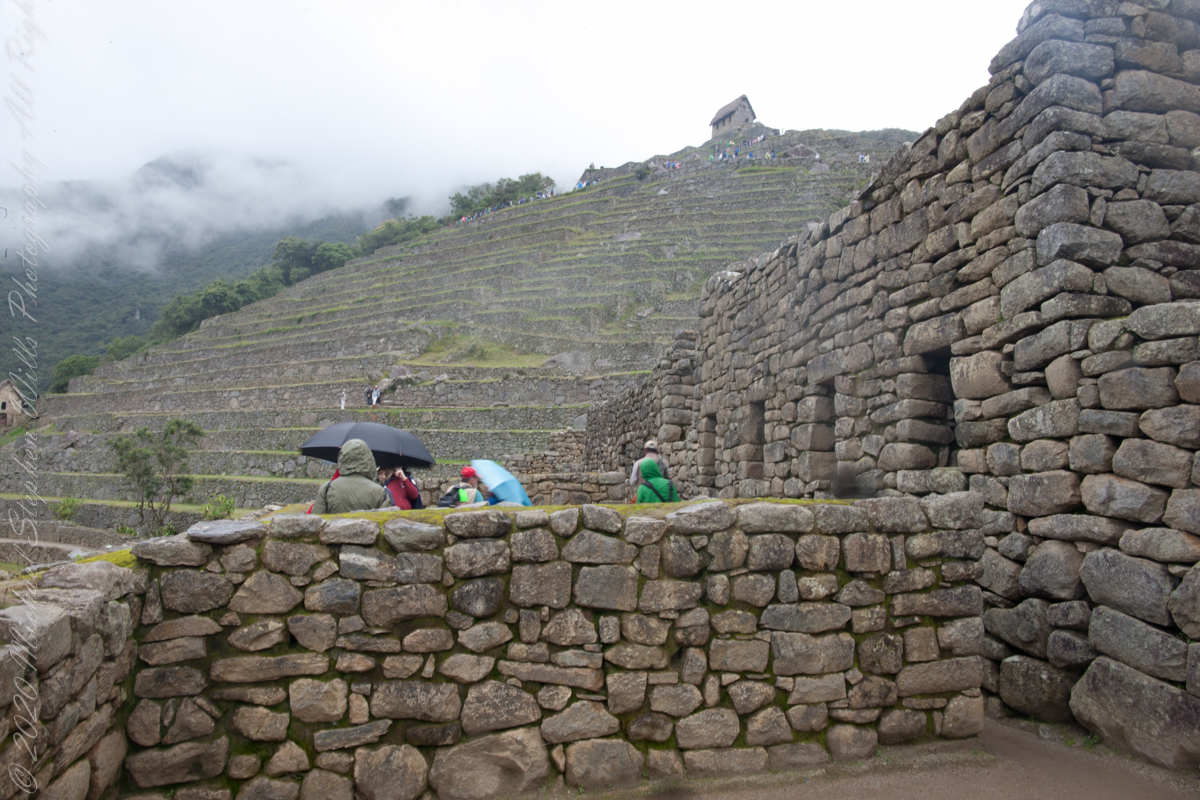
About 5.000 people must have worked to build Machu Picchu – specialists say. But it could only accommodate 750 – 1.000 inhabitants. Strangely there were only about 200 – 250 skeletons found.
About 140 buildings were erected. Most of these are houses, some are temples. There also are depots and even a guard house at the edge of the city.
The Incas used dry stone technique to build the city. No mortar was used, the stone bricks were simply put together without any material to stick them together.
All rocks used were split perfectly and the bricks were put together like a huge puzzle. Some of the bricks are so tightly put together that one cannot even put a knife between them. The rocks were probably cut with the so-called wooden wedge technique: holes were drilled into the rocks and wet wooden wedges were inserted into them. After that the constructors waited until the wet wooden wedges froze.
Copyright 2023 Michael Stephen Wills All Rights Reserved
I set up a Manfrotto BeFree tripod with the Canon EOS 1DS Mark III mounted with the Canon EF 70-300 f/4-5.6 L IS USM lens to capture our experience while entering Machu Picchu.
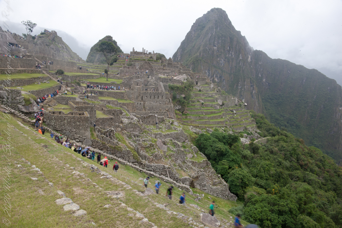
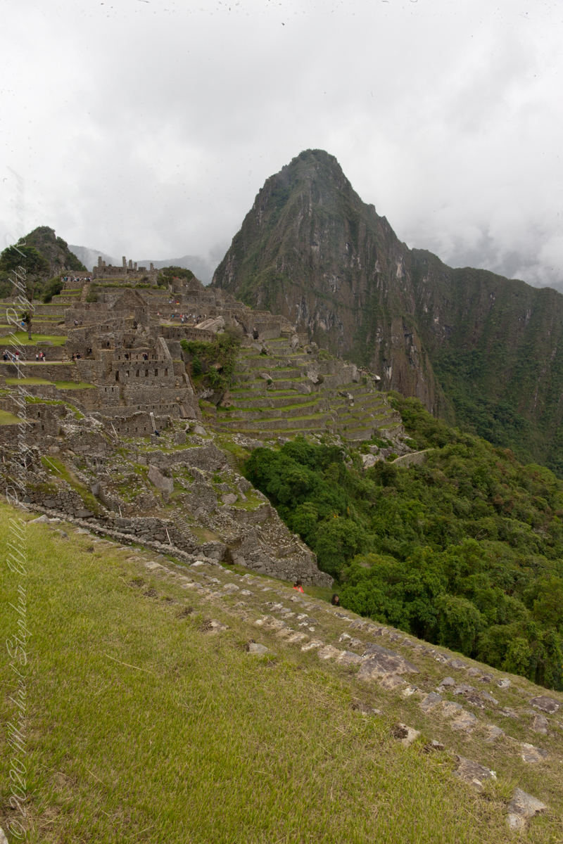
Huayna Picchu and the eastern portion of Machu Picchu from the agricultural terraces along with tourists proceed to the ancient city.
The eastern shoulder of Huayna Picchu is left and the Urubamba river curves around it. Leading the eye to the distance is an uninhabited andean valley covered in rain forest.
Copyright 2023 Michael Stephen Wills All Rights Reserved