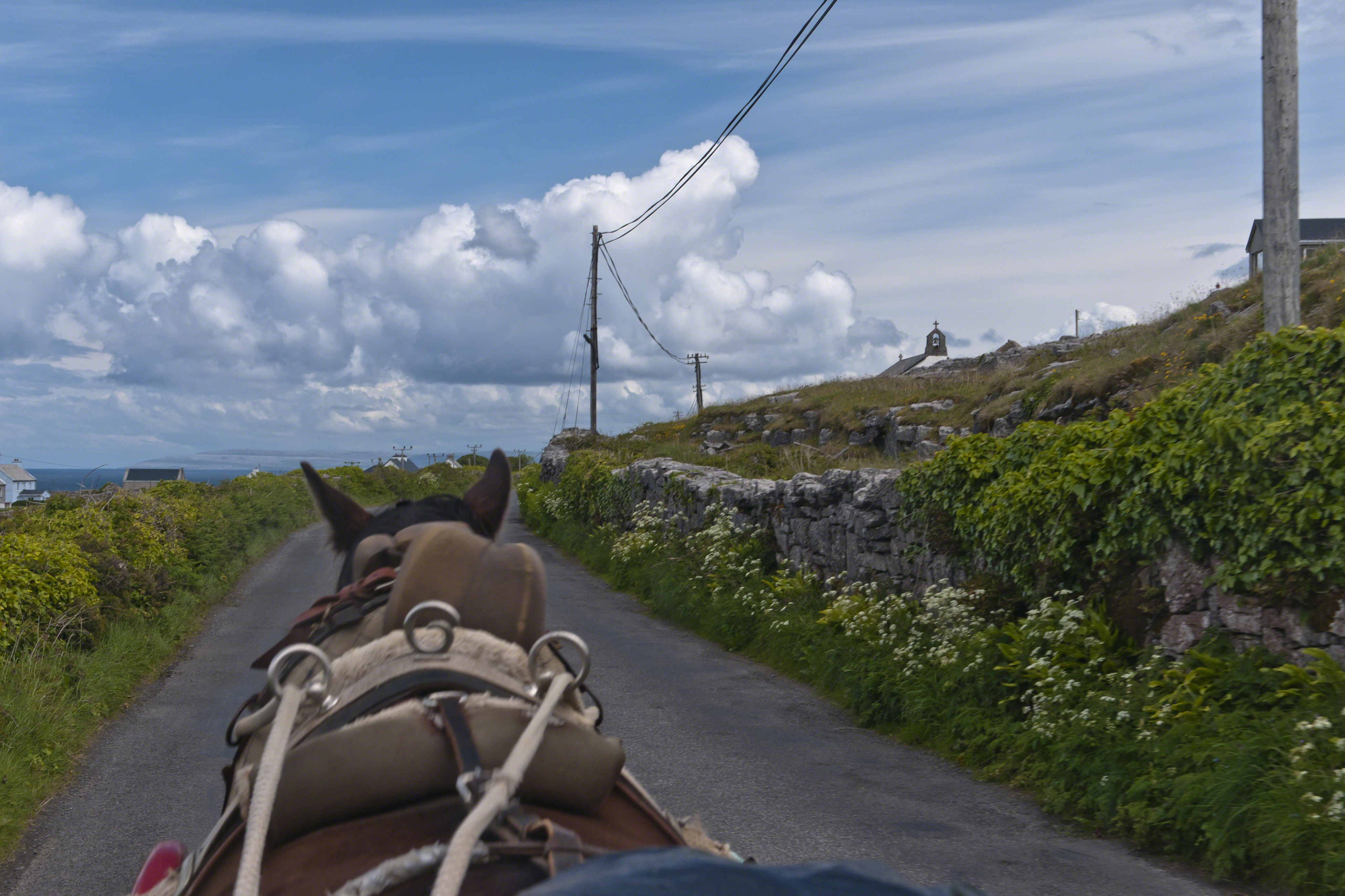
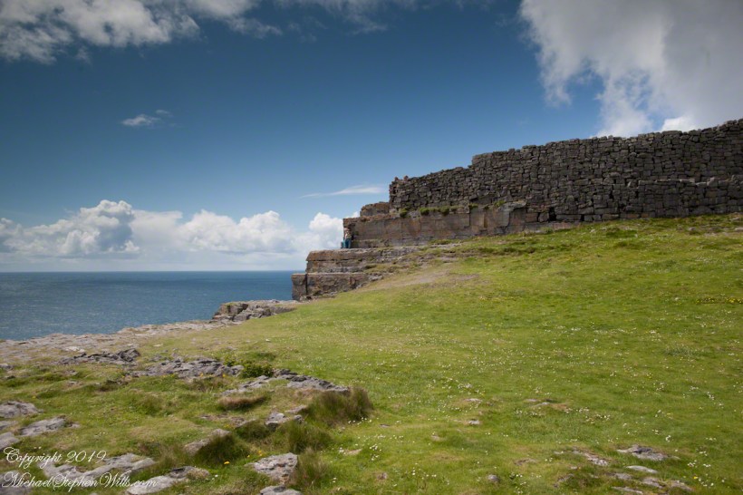
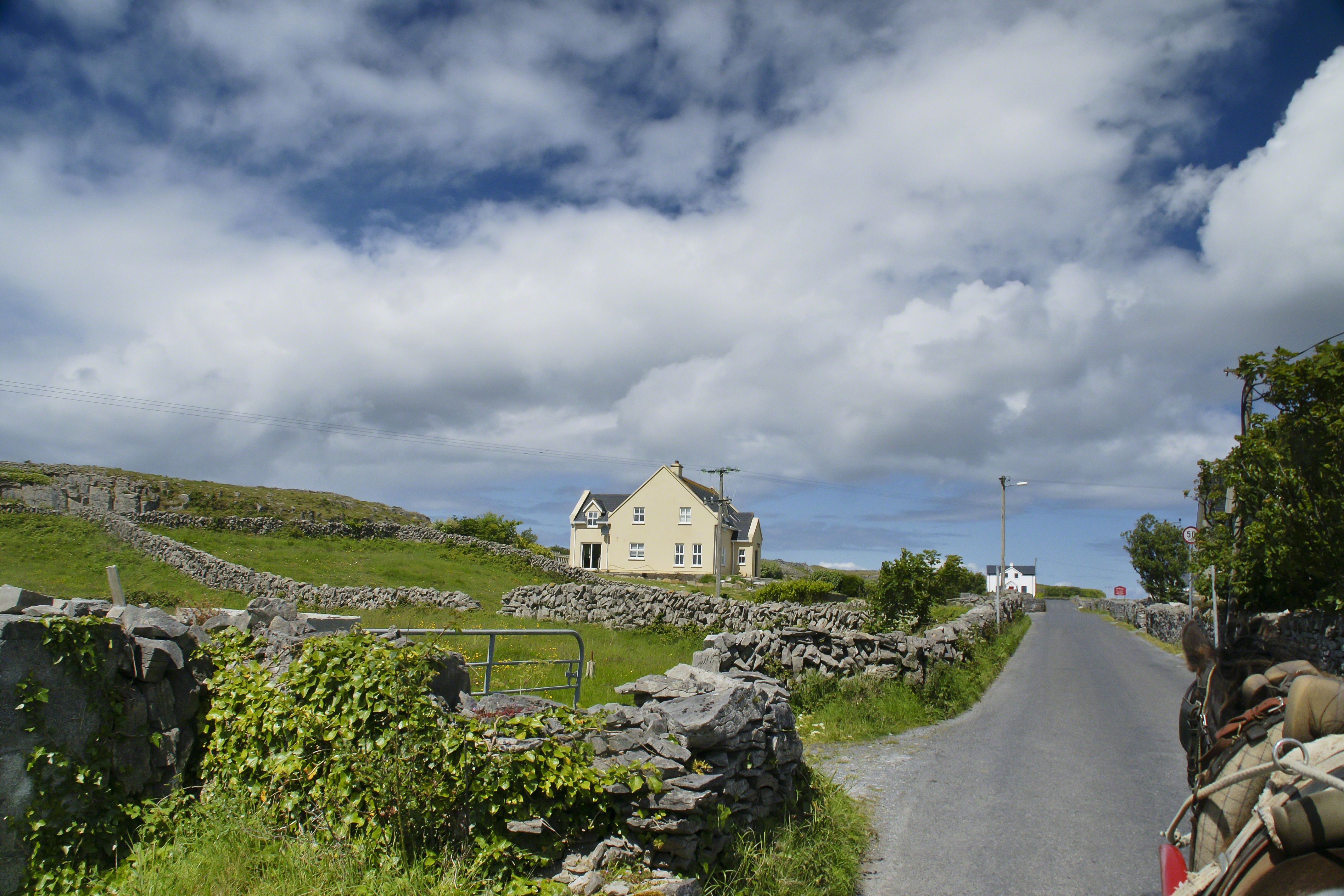
Enjoying travel on a horse trap, a type of carriage, on Inishmore (Inis Mór), the largest Aran Island in Galway Bay we headed up Cottage Road from Kilronan, the main island settlement. It was there we embarked from the ferry, hired the driver, his horse drawn trap. Our destination an iron age fort, Dun Aengus (Dún Aonghasa, the Irish language name) and the sights along the way.
Headed up Cottage Road, I captured this view of dry stone walls and homes against the May sky over the shoulder of our horse.
Click the link for my Getty IStock photography of the Aran Islands
Copyright 2019 All Rights Reserved Michael Stephen Wills