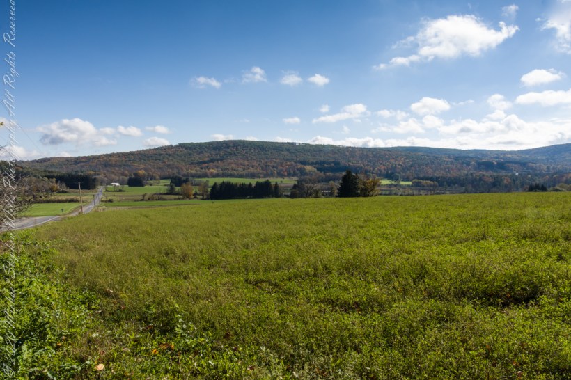
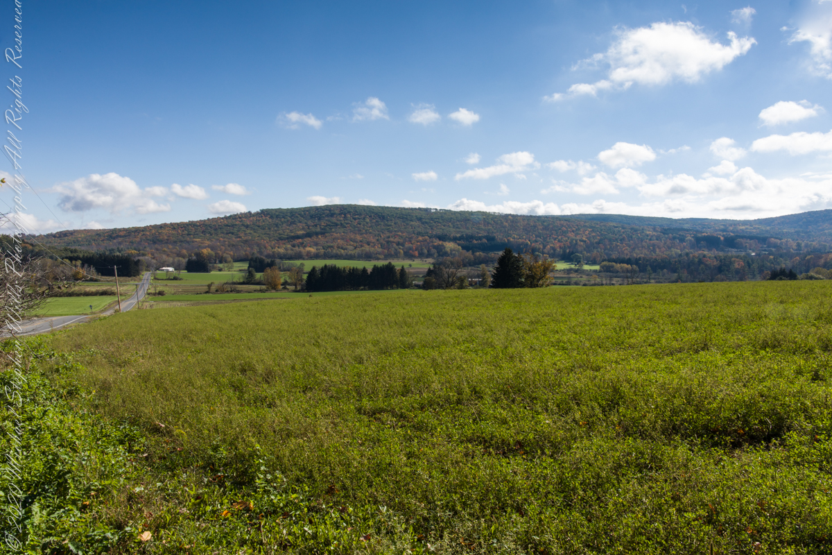
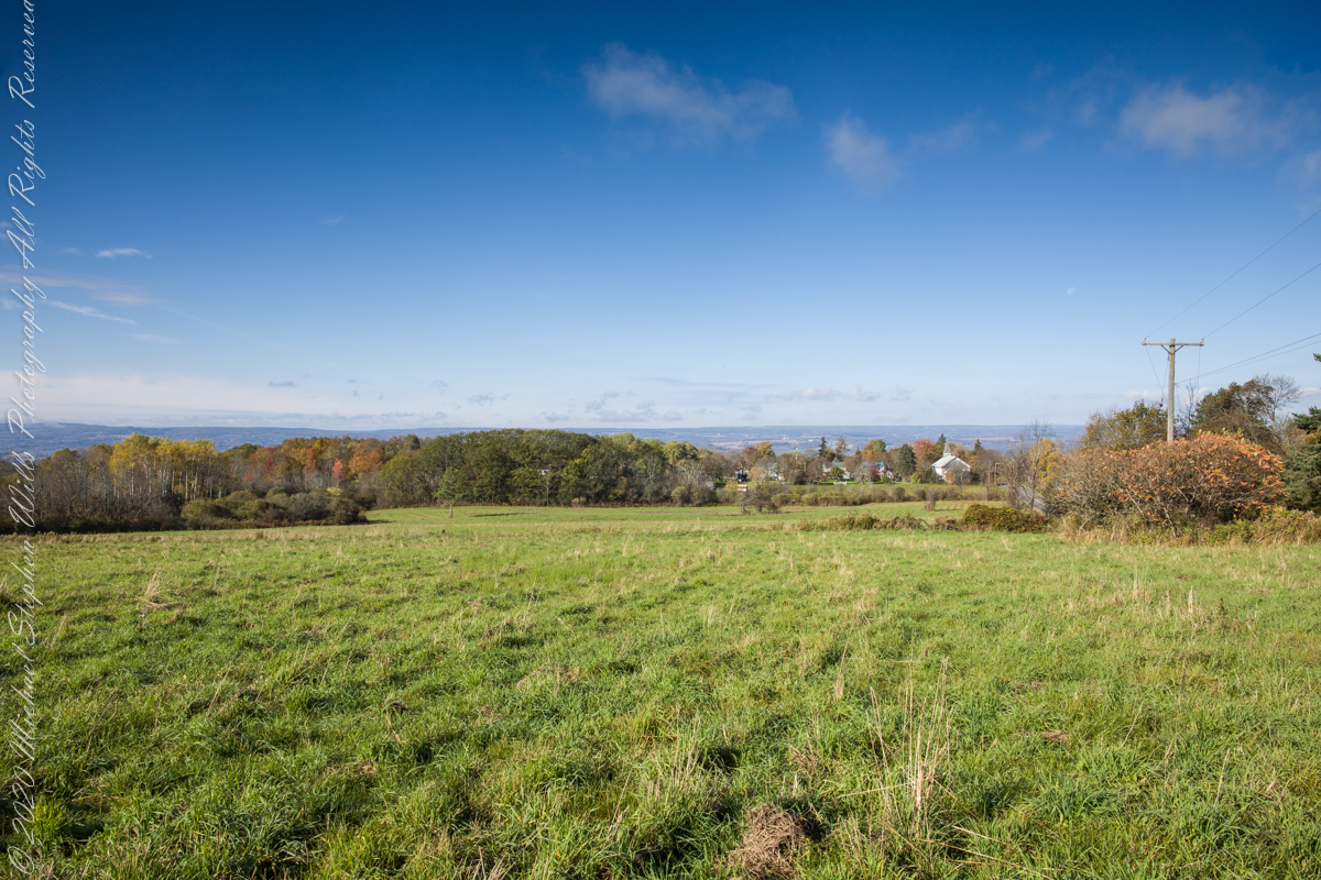
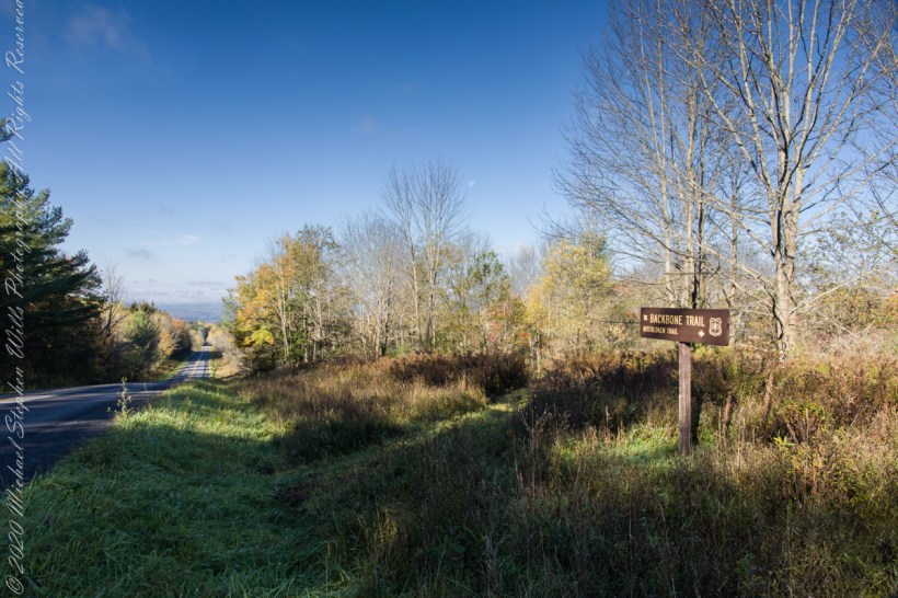
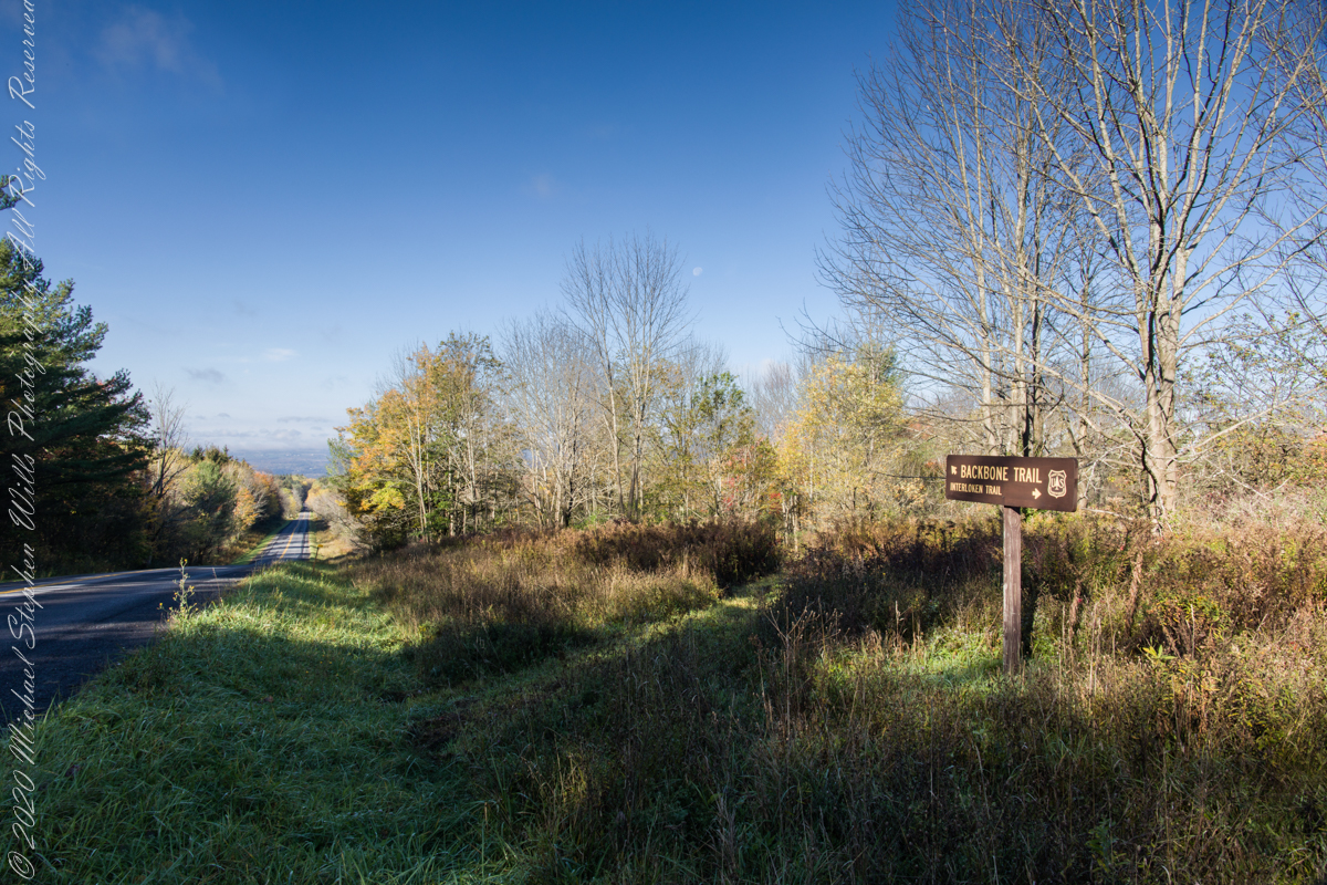
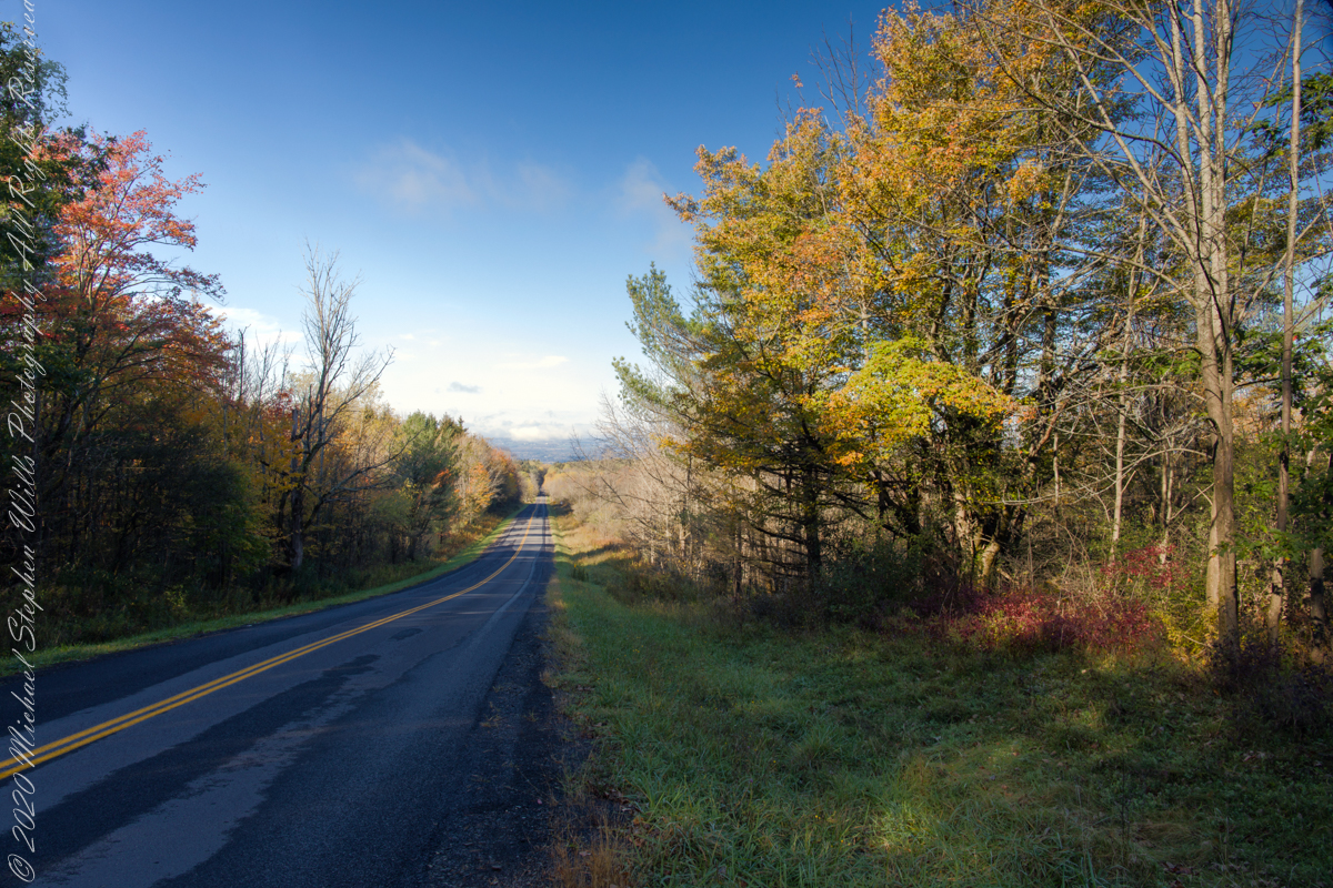
On our roundabout return from Finger Lakes National Forest we turned off Rt 79 at Mecklenburg onto county route 6 that becomes McIntyre Road in this stretch between two right angle curves. We turned off at the western curve with this fine autumn overlook toward Buck Hill.
Click photograph for a larger view. To do this from WordPress Reader, you need to first click the title of this post to open a new page.
Mornings are best for the west side of Finger Lakes National Forest ridge facing west over Seneca Lake. Set deep between hills, lake water is not visible, the distant land is the west side of the lake.
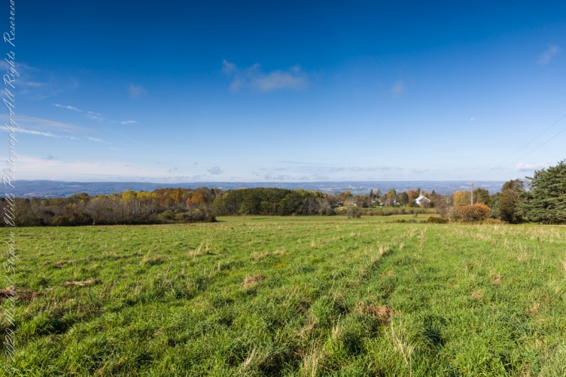
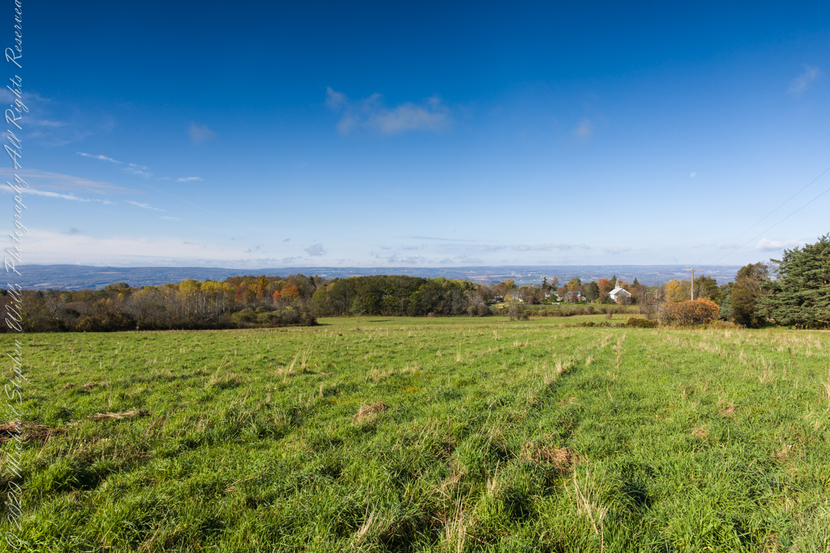
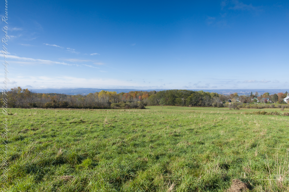
An abandoned church converted to Community Center is the distant steeple, marking the hamlet of Logan. I played a bit with the vista, moving forward and across, forgoing temptation to bring the autumn foliage front and center as this was private pasture, was 50 feet in as it was.
Click photograph for a larger view. To do this from WordPress Reader, you need to first click the title of this post to open a new page.
Click photograph for a larger view. To do this from WordPress Reader, you need to first click the title of this post to open a new page.
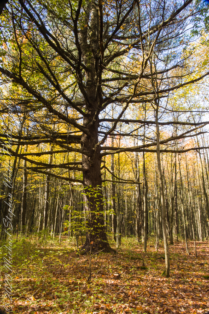
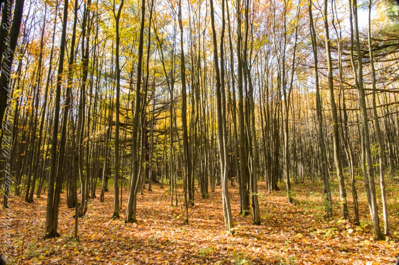
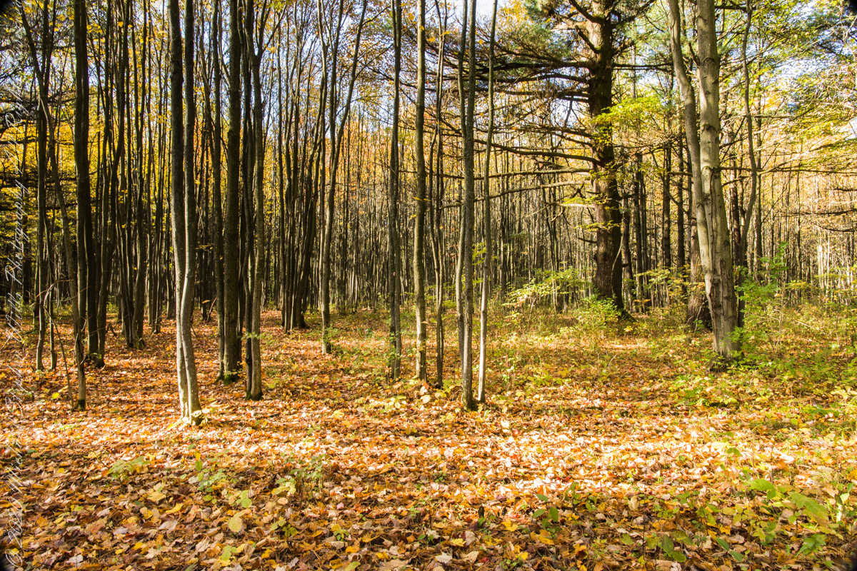
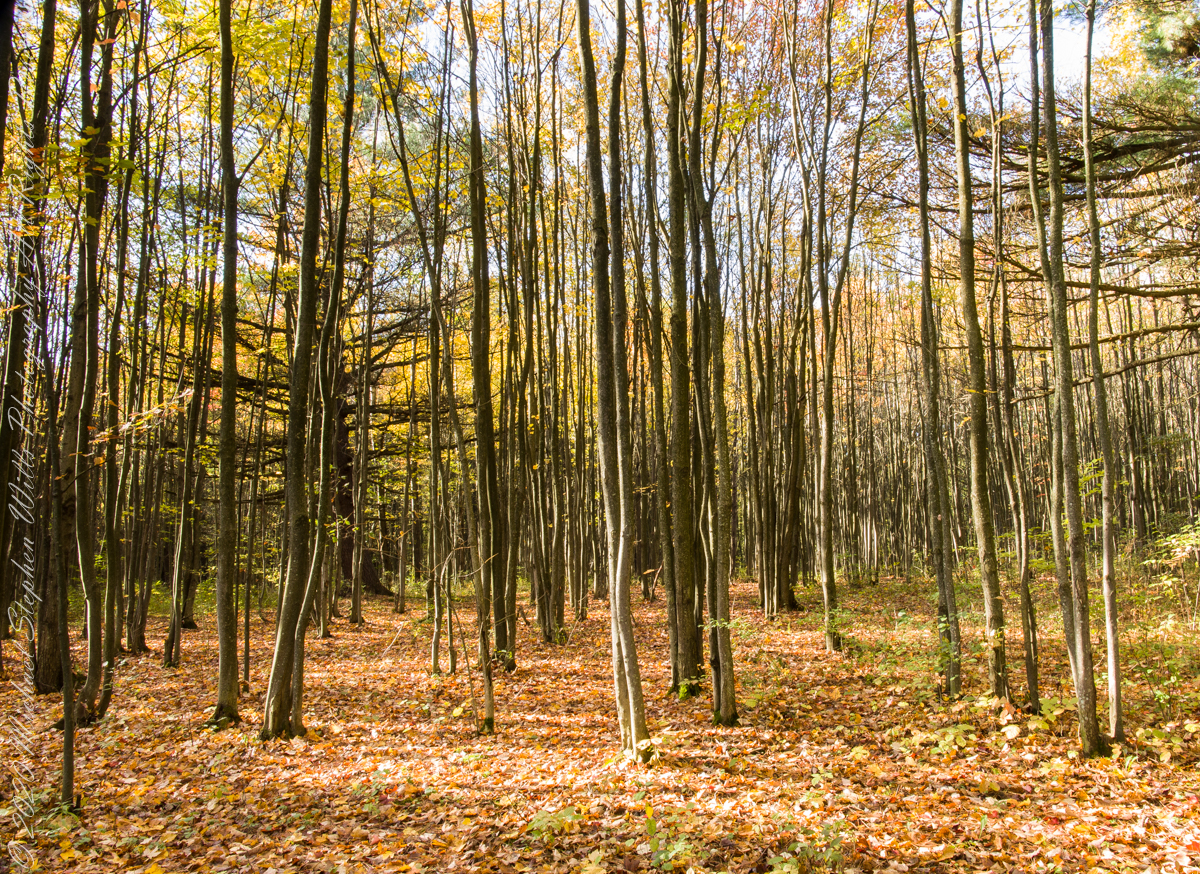
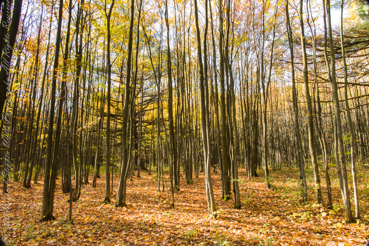
Finger Lakes National Forest is a patchwork of ancient forest, gorges and marginal farmland abondoned for decades such as this emerging forest next to an actively farmed pasture.
In the long history of this forested ridge two Iroquois tribes visited this unproductive land for tree nuts and hunting, unproductive in that the soil did not support agriculture. After the Revolutionary War, the British siding Iroquois tribes were driven away and the land given as one mile square blocks to soldiers, in payment for service. Those who settled this ridge cleared the land and farmed as best they could. During the Depression era, many of these farms were abandoned and others sold to the Federal government.
In the long history of this forested ridge two Iroquois tribes relied on this land for tree nuts and hunting, the soil did not support agriculture. After the Revolutionary War, the British siding Iroquois tribes were driven away and the land given as one mile square blocks to soldiers, in payment for service. During the Depression era, many of these farms were abandoned and others sold to the Federal government.
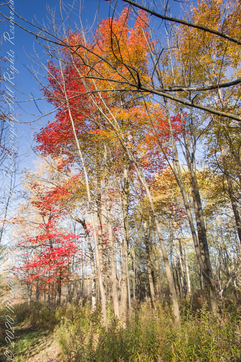
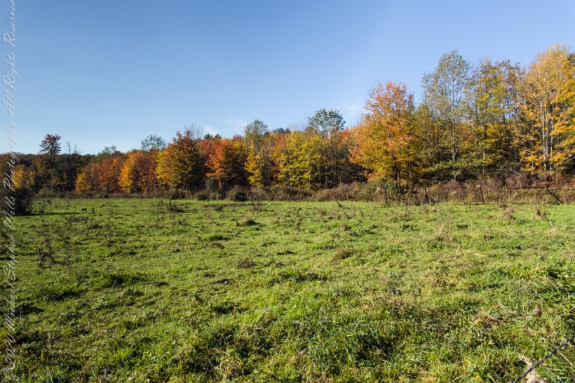
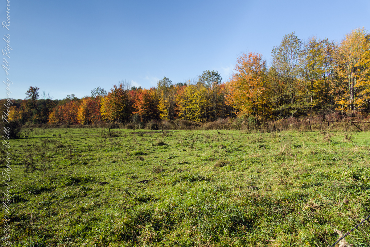
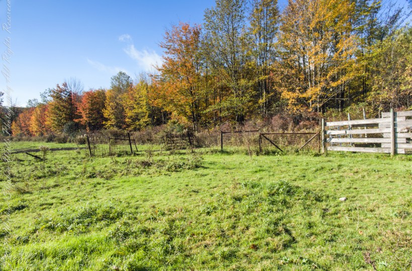
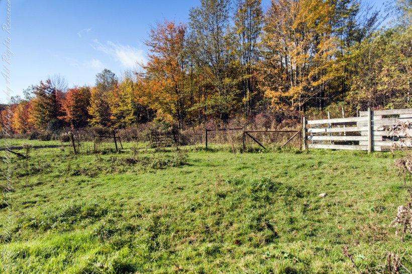
Today, there is a patchwork of private land and National Forest. This line of color marks the forest boundary on the eastern ridge side.
Click photograph for a larger view. To do this from WordPress Reader, you need to first click the title of this post to open a new page.
I positioned the tripod against the barbed wire fence marking the posted property. A few barbs and sear goldenrod flowers just visible in the lower right corner.
An open road, autumn morning, a hiking trail under a setting moon. Thirty miles of hiking trails thread these 16,212 acres. Some, like the Backbone trail, traverse farmland reverted to forest and meadow, popular for horseback riding.
Click photograph for a larger view. To do this from WordPress Reader, you need to first click the title of this post to open a new page.
The only National Forest in New York State, this land is visible as a ridge to the west of our home. Here we are on the west side, the ridge of Seneca Lake in the distance.
Click photograph for a larger view. To do this from WordPress Reader, you need to first click the title of this post to open a new page.
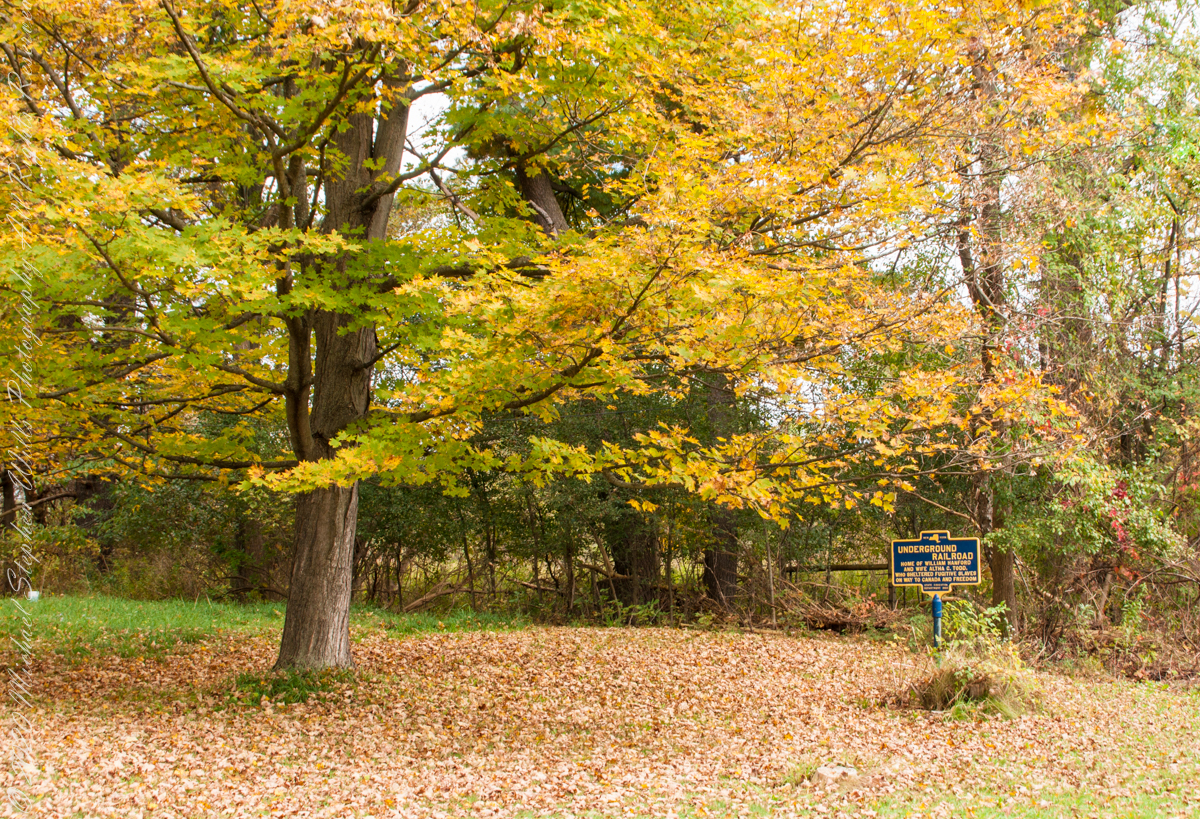
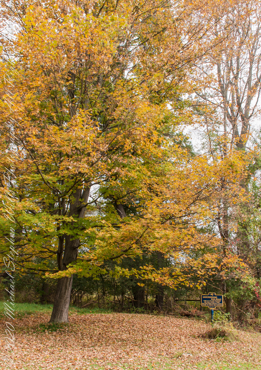
We have often travelled Lower Creek Road as an alternate route to visit my son and his family who live in Freeville, a village named for the activity of the Underground Railroad. After noticing this sign in passing for years, this week we stopped on a glorious autumn morning to capture it. I had packed the Sony Alpha 700 dslr for just such an opportunity.
Just off the road, under a maple tree in full autumn color (yellow), ground covered with fallen leaves (brown) on a fine early October morning, the sign reads, “New York, UNDERGROUND RAILROAD, HOME OF WILLIAM HANFORD AND WIFE ALTHA C. TODD, WHO SHELTERED FUGITIVE SLAVES ON THE WAY TO CANADA AND FREEDOM, STATE EDUCATION DEPARTMENT 1932”. These dark blue background, bright yellow letter signed are found throughout this region and much appreciated.