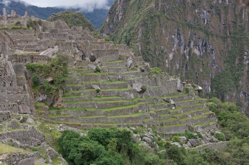
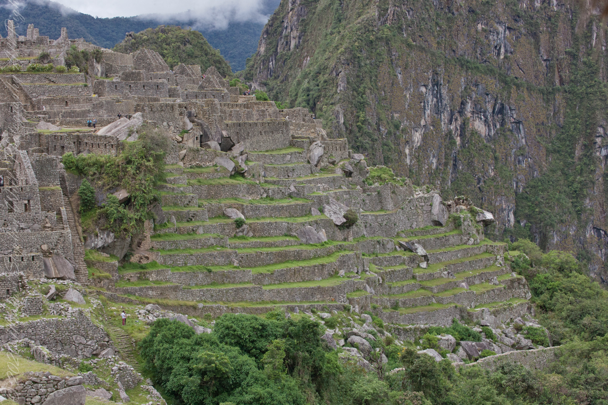
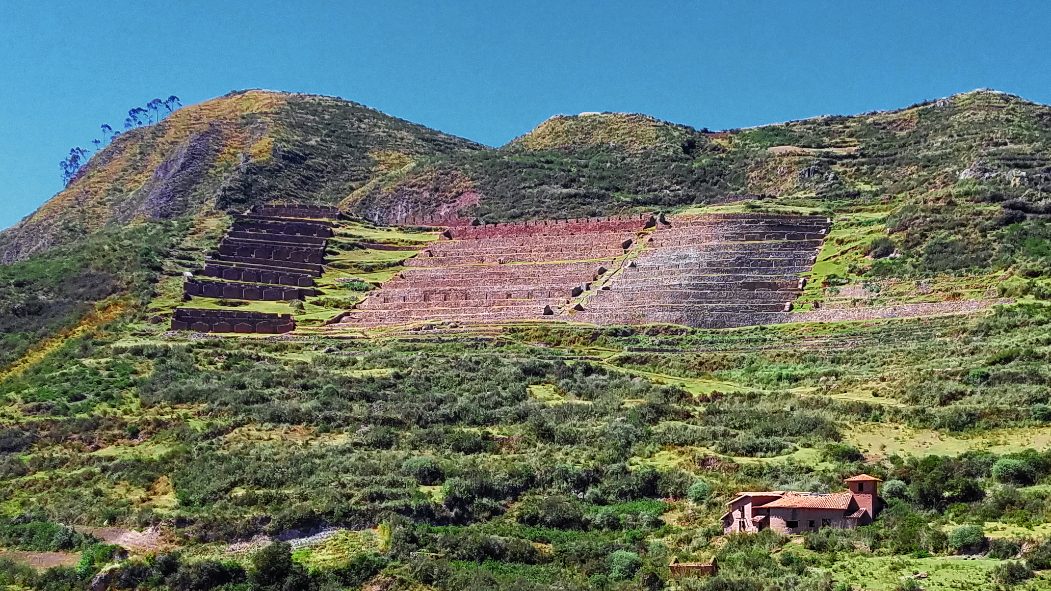
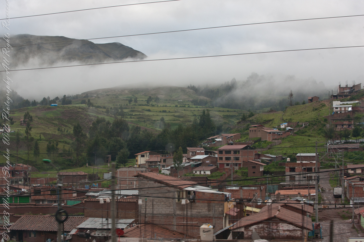
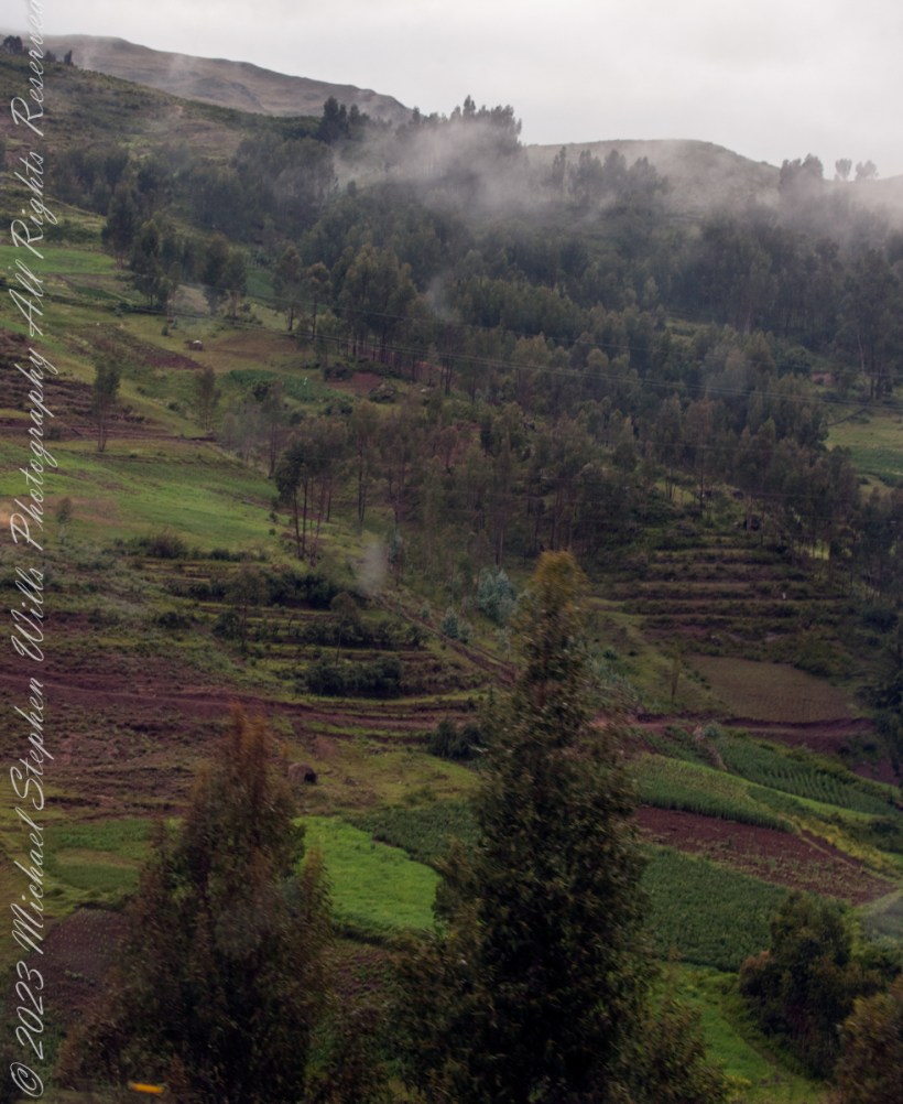
These agricultural terraces, built in the 15th century, were still in limited use by local farmers when Bingham arrived in the early 20th century. These terraces were a work of considerable engineering, built to ensure good drainage and soil fertility while also protecting the mountain itself from erosion and landslides. Modern soil studies reveal the major crops were corn and potatoes. These terraces are below the districts named “Industrial Zone” and “Factory Houses.” A cliff of Huayna Picchu is in the background.
Copyright 2023 Michael Stephen Wills All Rights Reserved
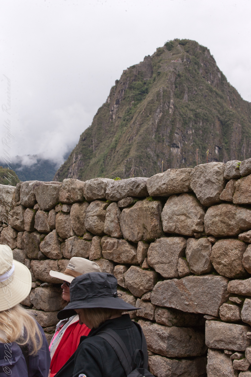
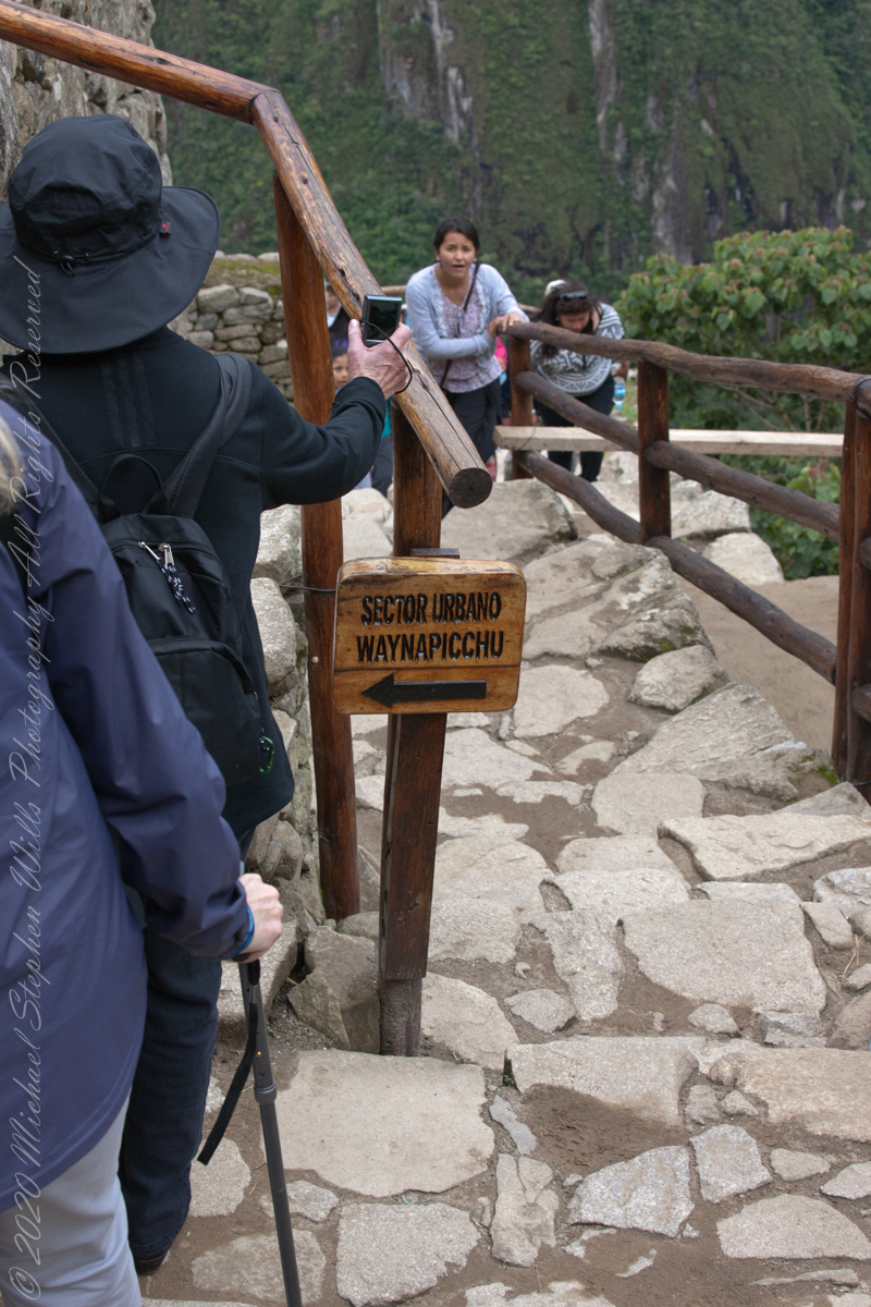
On our way to the Urban Sector of Machu Picchu I capture the peak of Huayna Picchu above a rough stone wall. “Huayna Picchu, Quechua: Wayna Pikchu, is a mountain in Peru around which the Urubamba River bends. It is located in the Cusco Region, Urubamba Province, Machupicchu District. It rises over Machu Picchu, the so-called lost city of the Incas. The Incas built a trail up the side of the Huayna Picchu and built temples and terraces on its top. The peak of Huayna Picchu is 2,693 meters (8,835 ft) above sea level, or about 260 meters (850 ft) higher than Machu Picchu.”
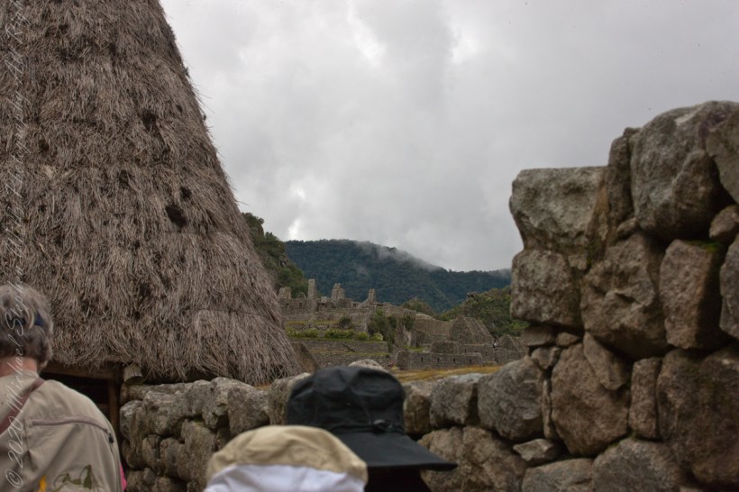
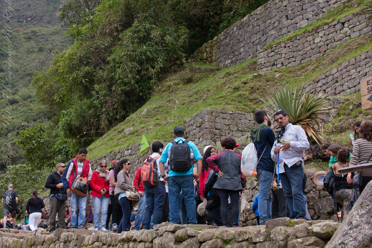
A fellow group of tourists wait for entry to the citadel
“According to local guides, the top of the mountain was the residence for the high priest and the local virgins. Every morning before sunrise, the high priest with a small group would walk to Machu Picchu to signal the coming of the new day. The Temple of the Moon, one of the three major temples in the Machu Picchu area, is nestled on the side of the mountain and is situated at an elevation lower than Machu Picchu. Adjacent to the Temple of the Moon is the Great Cavern, another sacred temple with fine masonry. The other major local temples in Machu Picchu are the Temple of the Condor, Temple of Three Windows, Principal Temple, “Unfinished Temple”, and the Temple of the Sun, also called the Torreon.“
The end of a long climb
“Its name is Hispanicized, possibly from the Quechua, alternative spelling Wayna Pikchu; wayna young, young man, pikchu pyramid, mountain or prominence with a broad base which ends in sharp peaks, “young peak”. The current Quechua orthography used by the Ministerio de Cultura is Waynapicchu and Machupicchu.”
“Young Peak” rises above the “Lost City of the Incas.”
Reference: Wikipedia “Huayna Picchu.”
Copyright 2023 Michael Stephen Wills All Rights Reserved
In 1911 American historian and explorer Hiram Bingham traveled the region looking for the old Inca capital. On July 24, 1911 Bingham, led to Machu Picchu by a villager, Melchor Arteaga, crossed the Urubamba river on a rickety wood bridge. Bingham found the name Agustín Lizárraga and the date 1902 written in charcoal on one of the walls. Though Bingham was not the first to visit the ruins, he was considered the scientific discoverer who brought Machu Picchu to international attention.
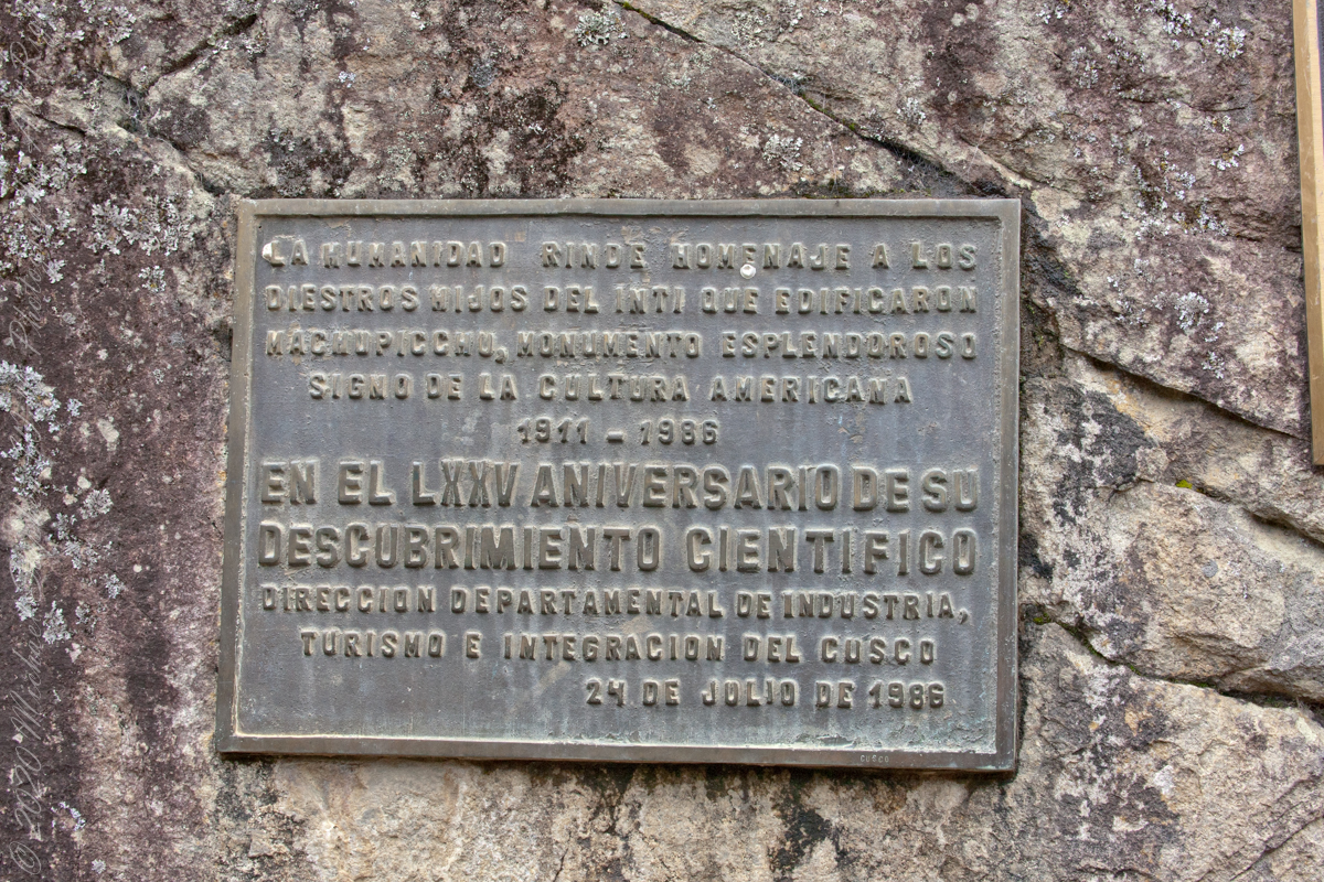
“Humanidad Rinde Homenaje a diestros hijos del inti que edificaron MachuPicchu, monumento esplendoroso sign o de la cultura americacana 1911 – 1986 En el LXXV Aniversario Descubrimiento Cientifico Direccion Departmental de Industria, turismo e integracion del Cusco 24 de Julio de 1986” Translation “Humanity pays tribute to skilled sons of the Inca who built Machu Picchu, splendid monument sign or of American culture 1911 – 1986 In the LXXV Anniversary Scientific Discovery Departmental Directorate of Industry, Tourism and Integration of Cusco July 24, 1986”
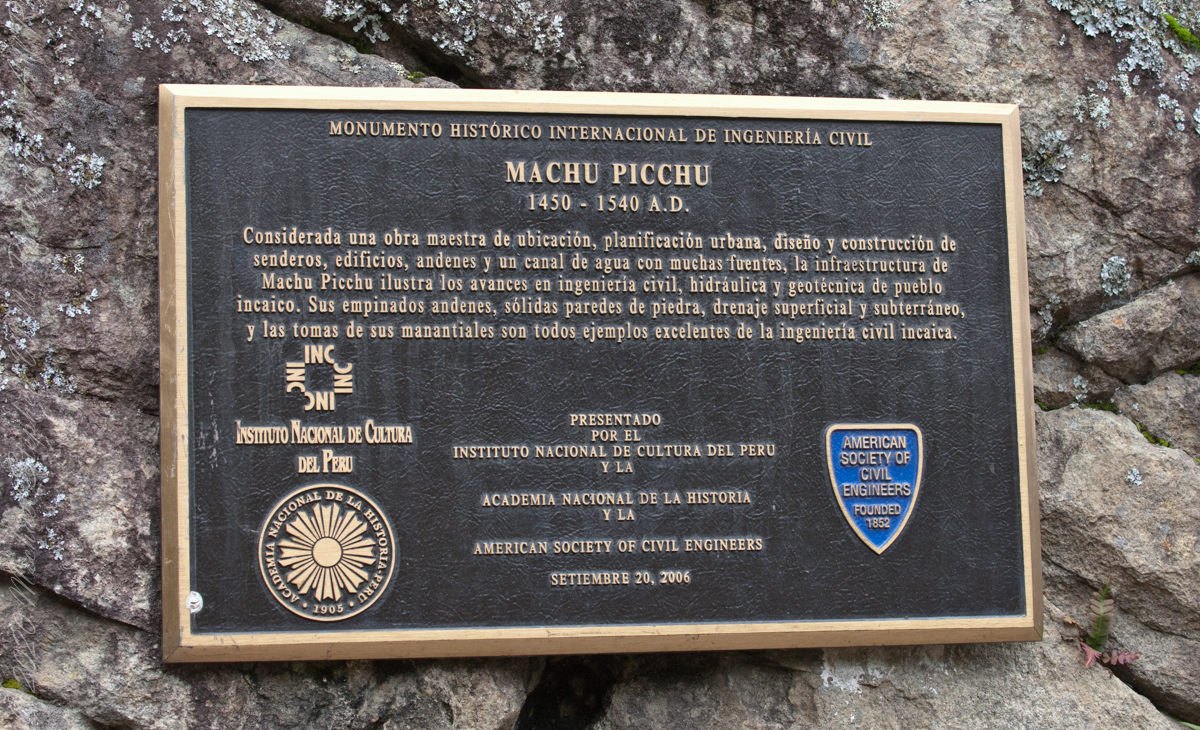
“Considerada una obra maestra de ubicacion, planificacion urbana, diseno y construccion de senderos, edificios, andenes y un canal de agua con muchas fuentes, la infraestructura de Machu Picchu ilustra las avances en ingenieria civil, hidraulica y geotecnica de pueble incaico. Sus empinados andenes, solidas paredes de piedra, drenaje superficial y subterraneo, y las tomas de sus manantiales son todos ejemplos excelentes de la ingenieria civil incaica.” Translation “Considered a masterpiece of location, urban planning, design and construction of trails, buildings, platforms and a water channel with many fountains, the infrastructure of Machu Picchu illustrates the advances in civil, hydraulic and geotechnical engineering of Inca village. Its steep platforms, solid stone walls, surface and underground drainage, and intakes of its springs are all excellent examples of Inca civil engineering. September 20, 2006.”
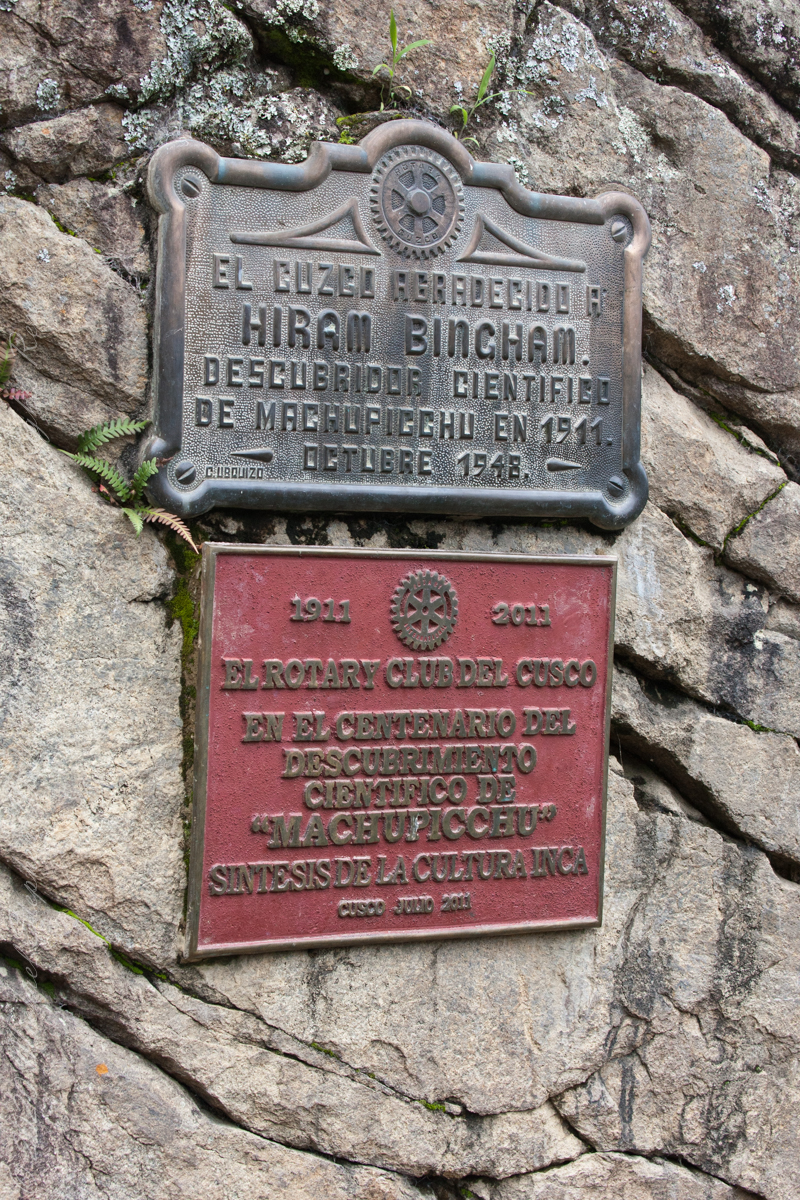
Top: El Cuzco Agradecido a Hiram Bingham Descubridor Cientifico de MachuPicchu en 1911. October 1948 (made by C Ubquizo) Translation (The City of ) Cuzco (is) Grateful to Hiram Bingham Scientific Discoverer of Machu Picchu in 1911. October 1948 Bottom: 1911 2011 El Rotary Club del Cusco En el Centenario del Descubrimiento Cientifico co “AMachuPicchu” Sintesis de la Culture Inca Cusco Julio 2011 Translation: The Rotary Club of Cusco In the Centenary of the Scientific Discovery of “MachuPicchu” Synthesis of the Inca Culture Cusco July 2011.
Credits:
“Machu Picchu” Wikipedia
Translations Spanish are from Google Translate (with my editing).
Copyright 2023 Michael Stephen Wills All Rights Reserved
“Falcon Heavy is a partially reusable super heavy-lift launch vehicle[a] that can carry cargo into Earth orbit, and beyond. It is designed, manufactured and launched by American aerospace company SpaceX.“
“The rocket consists of a center core on which two Falcon 9 boosters are attached, and a second stage on top of the center core. Falcon Heavy has the second highest payload capacity of any currently operational launch vehicle behind NASA’s Space Launch System, and the fourth-highest capacity of any rocket to reach orbit, trailing behind the SLS, Energia and the Saturn V.“
“SpaceX conducted Falcon Heavy’s maiden launch on 6 February 2018, at 20:45 UTC. As a dummy payload, the rocket carried a Tesla Roadster belonging to SpaceX founder Elon Musk, with a mannequin dubbed “Starman” in the driver’s seat. The second Falcon Heavy launch occurred on 11 April 2019, and all three booster rockets successfully returned to Earth. The third Falcon Heavy launch successfully occurred on 25 June 2019. Since then, Falcon Heavy has been certified for the National Security Space Launch (NSSL) program.“
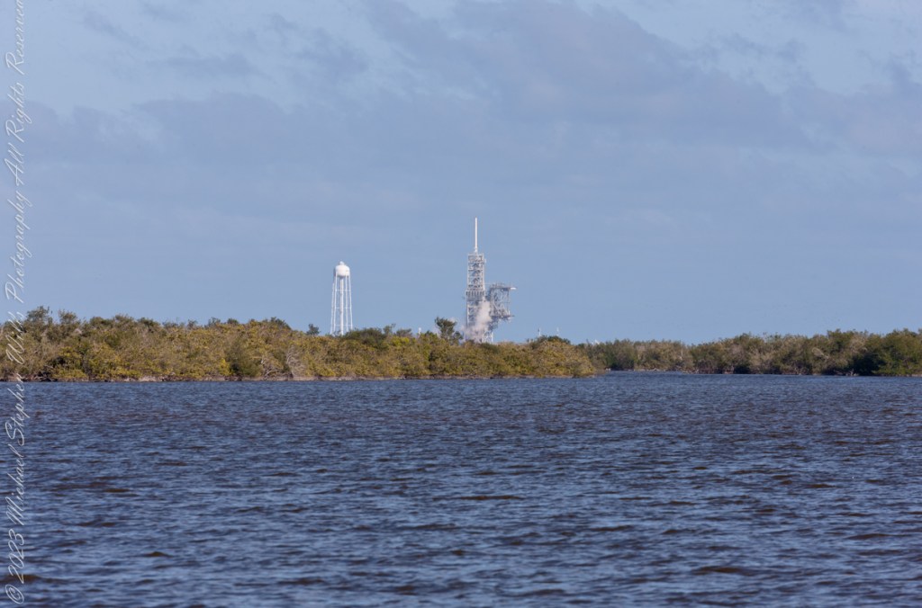
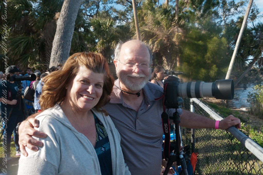
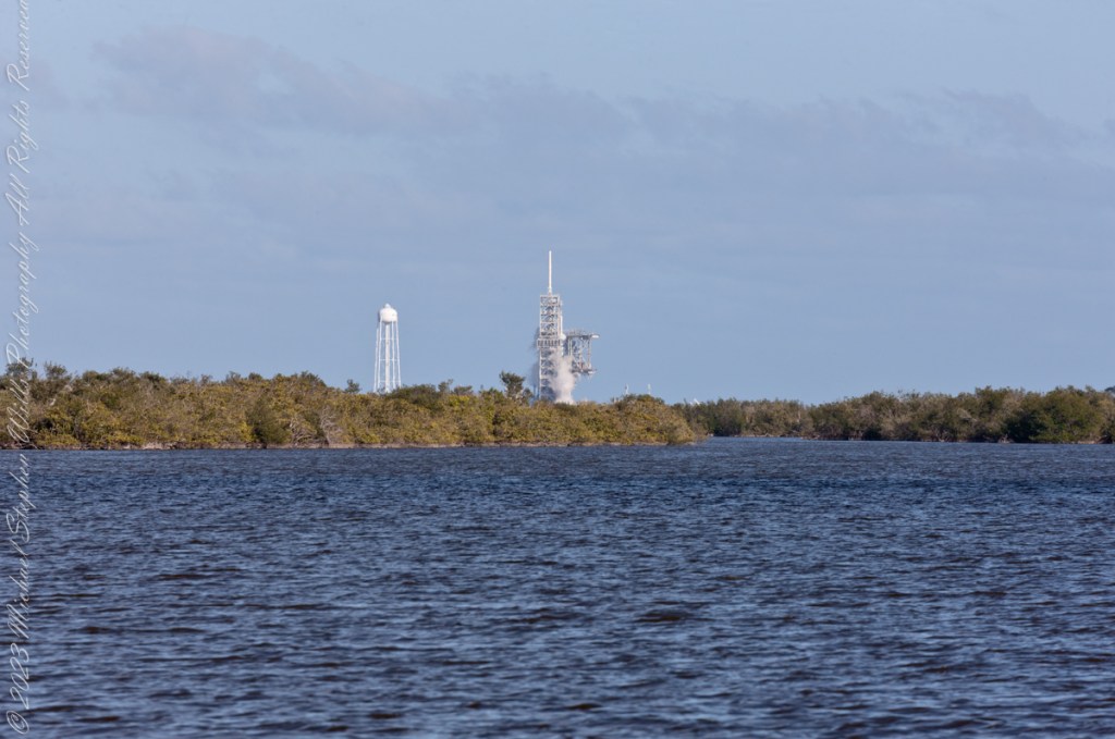
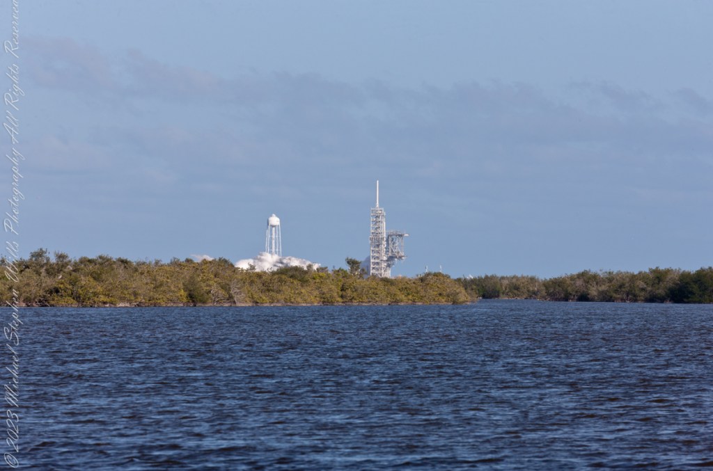
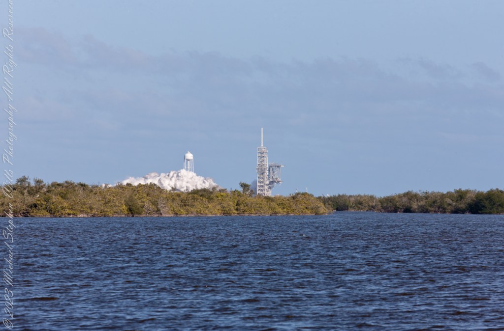
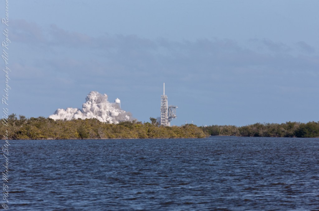
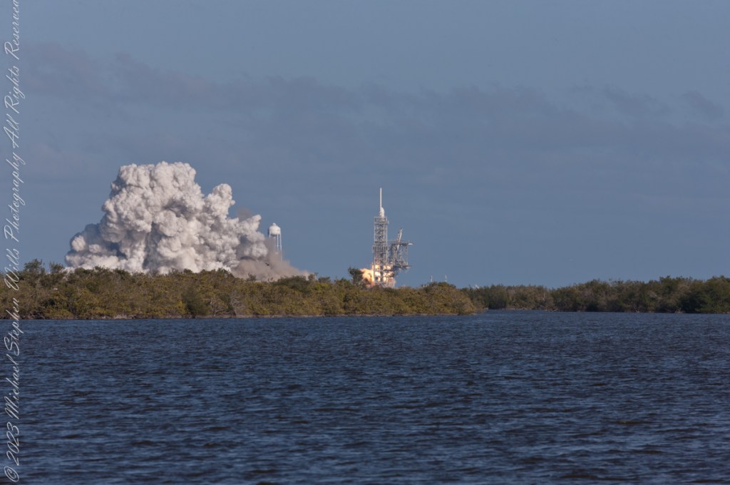
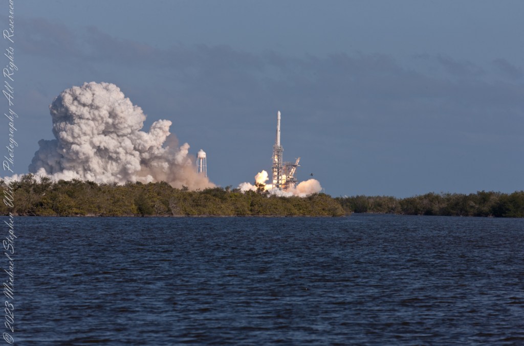
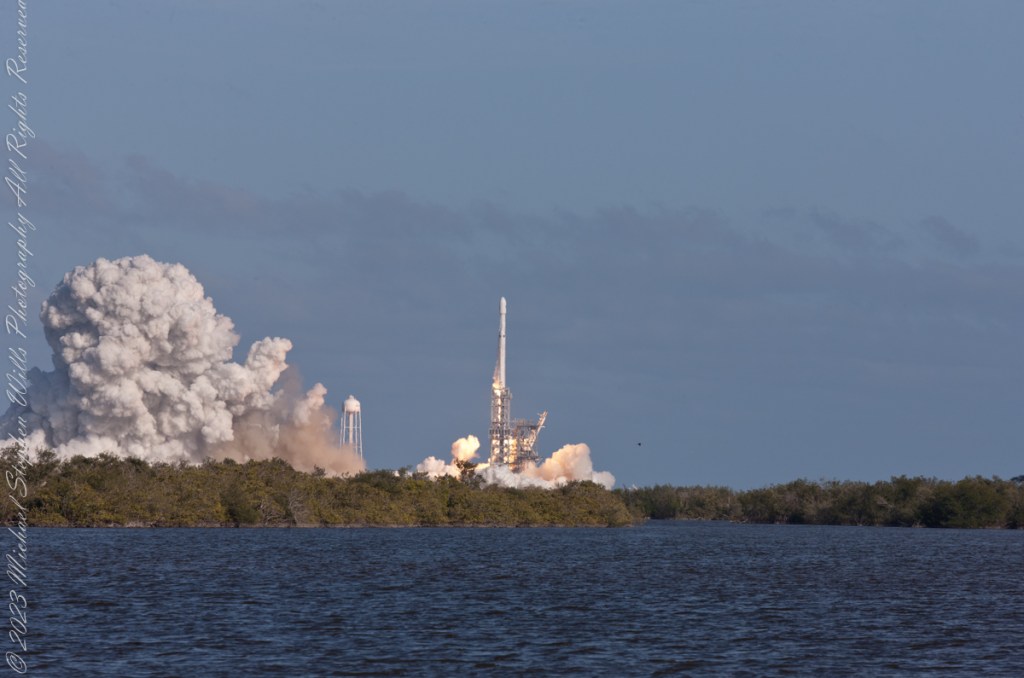
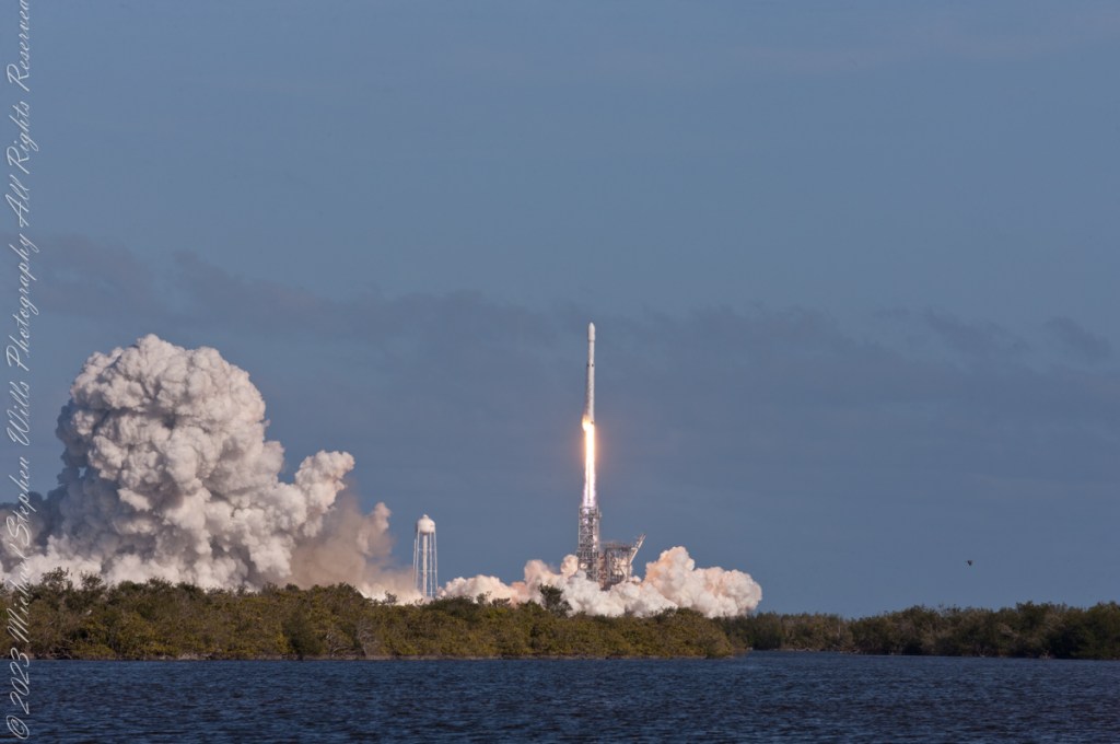
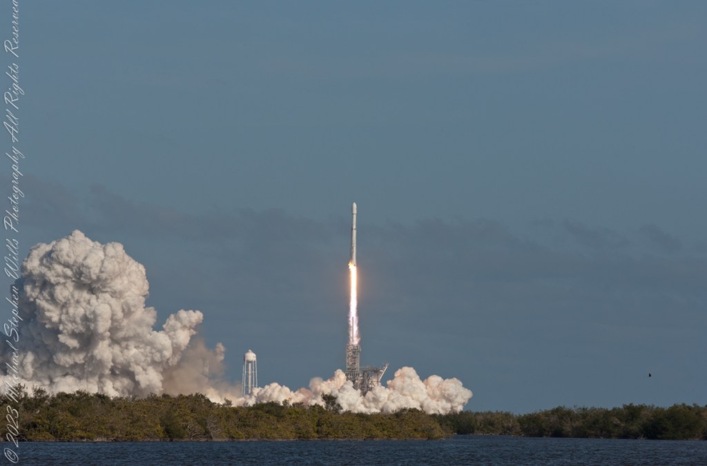
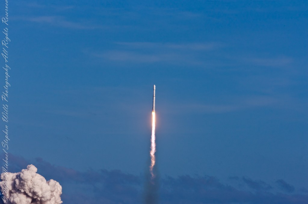
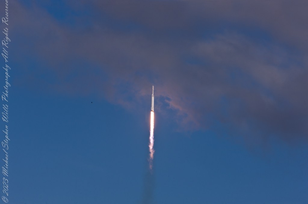
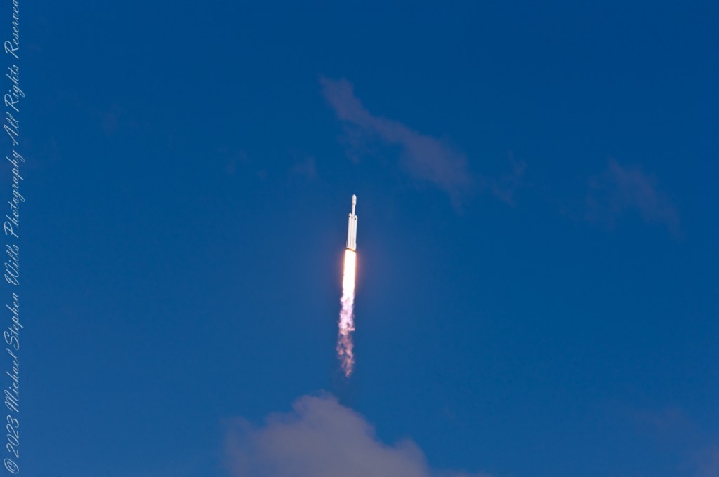
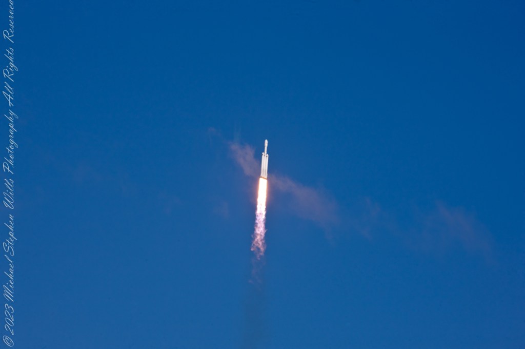
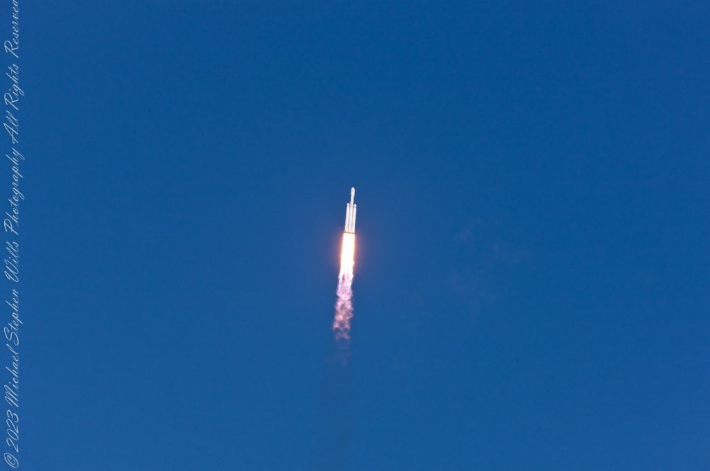
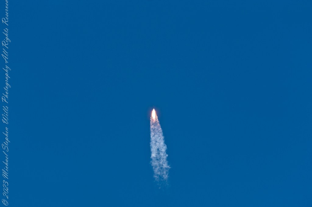
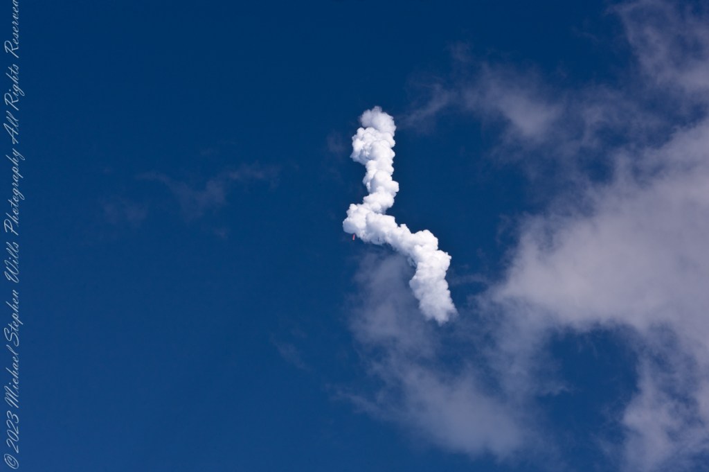
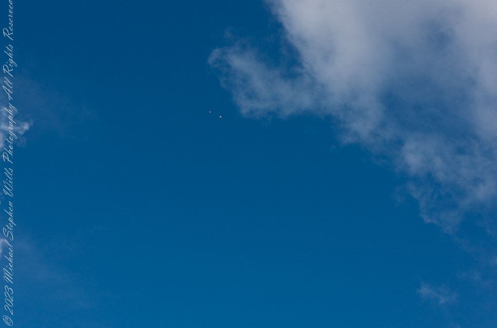
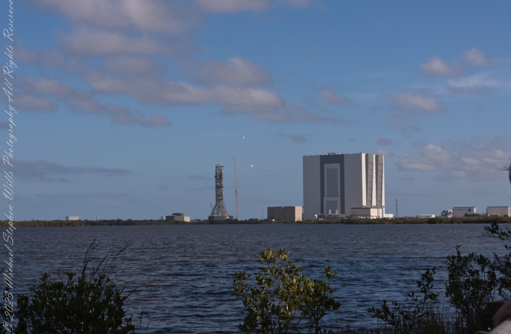
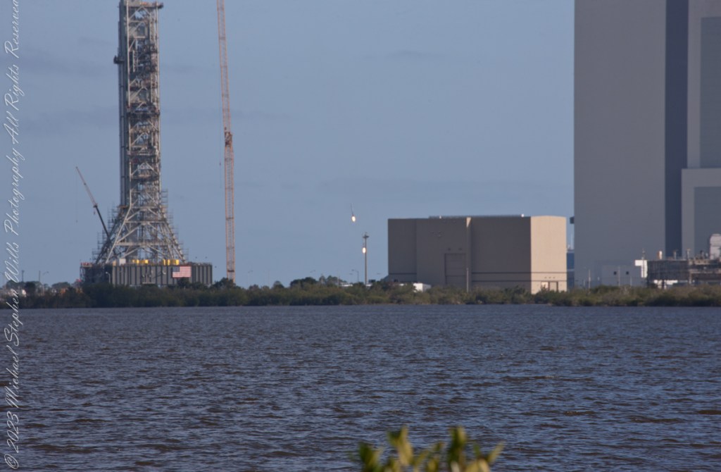
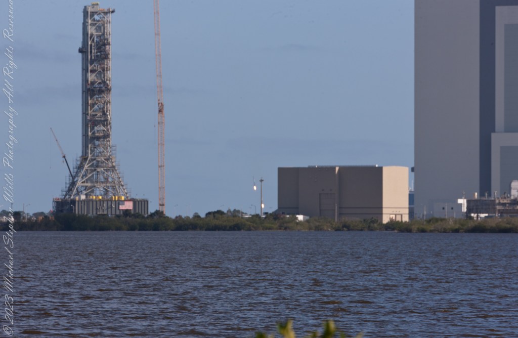
February 6, 2018 fuel venting during fueling of the Space X Falcon Heavy 19 minutes 25 seconds prior to launch. The rocket hidden by the launch tower. Taken from Kennedy Space Center Apollo-Saturn V Center looking across the Banana River to Launch Complex 39A, 3.9 miles away.Pam and Mike Wills in place at a prime spot for the SpaceX Falcon Heavy Launch. Kennedy Space Center, Apollo-Saturn V Center. February 6, 2018. 00:10:49 before launch.February 6, 2018 fuel venting, fueling complete 1 minute 20 seconds prior to launch. The rocket hidden by the launch tower. Taken from Kennedy Space Center Apollo-Saturn V Center looking across the Banana River to Launch Complex 39A, 3.9 miles away.February 6, 2018 Space X Falcon Heavy, 3 seconds prior to launch. The rocket hidden by the launch tower. The cloud is water released into the launch platform under pressure from the water tower. Taken from Kennedy Space Center Apollo-Saturn V Center looking across the Banana River to Launch Complex 39A, 3.9 miles away.February 6, 2018 Space X Falcon Heavy, launch 2 seconds prior to launch. The rocket hidden by the launch tower. The cloud is water released into the launch platform under pressure from the water tower. Taken from Kennedy Space Center Apollo-Saturn V Center loking across the Banana River to Launch Complex 39A, 3.9 miles away.February 6, 2018 Space X Falcon Heavy engine ignition. The moment of engine ignition, the rocket hidden by the launch tower. Taken from Kennedy Space Center Apollo-Saturn V Center loking across the Banana River to Launch Complex 39A, 3.9 miles away.February 6, 2018 Space X Falcon Heavy, launch plus 1 second. Ignition visible, tower connections falling away. Rocket nose visible to right of tower lightening rod. Taken from Kennedy Space Center Apollo-Saturn V Center loking across the Banana River to Launch Complex 39A, 3.9 miles away.February 6, 2018 Space X Falcon Heavy, launch plus 2 seconds. Rocket lift-off fully underway. Taken from Kennedy Space Center Apollo-Saturn V Center looking across the Banana River to Launch Complex 39A, 3.9 miles away.February 6, 2018 Space X Falcon Heavy, launch plus 4 seconds. Rocket not yet clear of launch tower. Taken from Kennedy Space Center Apollo-Saturn V Center looking across the Banana River to Launch Complex 39A, 3.9 miles away.February 6, 2018 Space X Falcon Heavy, launch plus 5 seconds. A heron flies to the right of launch tower. Taken from Kennedy Space Center Apollo-Saturn V Center looking across the Banana River to Launch Complex 39A, 3.9 miles away.February 6, 2018 Space X Falcon Heavy, launch plus 6 seconds. Rocket is just clear of launch tower. At 230 feet in 6 seconds it is travelling at 26.1 miles per hour. A heron flies to right of launch tower. Taken from Kennedy Space Center Apollo-Saturn V Center looking across the Banana River to Launch Complex 39A, 3.9 miles away.February 6, 2018 Space X Falcon Heavy, launch plus 7 seconds. Rocket is clear of the launch tower. Taken from Kennedy Space Center Apollo-Saturn V Center looking across the Banana River to Launch Complex 39A, 3.9 miles away.February 6, 2018 Space X Falcon Heavy, launch plus 7 seconds. Taken from Kennedy Space Center Apollo-Saturn V Center looking across the Banana River to Launch Complex 39A, 3.9 miles away.February 6, 2018 Space X Falcon Heavy, launch plus 8 seconds. Taken from Kennedy Space Center Apollo-Saturn V Center looking across the Banana River to Launch Complex 39A, 3.9 miles away.February 6, 2018 Space X Falcon Heavy, launch plus 9 seconds. Taken from Kennedy Space Center Apollo-Saturn V Center looking across the Banana River to Launch Complex 39A, 3.9 miles away.February 6, 2018 Space X Falcon Heavy, launch plus 12 seconds. Taken from Kennedy Space Center Apollo-Saturn V Center.February 6, 2018 Space X Falcon Heavy, launch plus 20 seconds. The rocket has rolled a few degrees, all boosters are visible. The Taken from Kennedy Space Center Apollo-Saturn V Center.February 6, 2018 Space X Falcon Heavy, launch plus 25 seconds. All boosters are visible. Taken from Kennedy Space Center Apollo-Saturn V Center.February 6, 2018 Space X Falcon Heavy, launch plus 26 seconds. All boosters are visible. Taken from Kennedy Space Center Apollo-Saturn V Center.February 6, 2018 Space X Falcon Heavy, launch plus 32 seconds. A boosters are visible. Taken from Kennedy Space Center Apollo-Saturn V Center.February 6, 2018 Space X Falcon Heavy, launch plus 1 minute 11 seconds. The boosters have throttled back. Taken from Kennedy Space Center Apollo-Saturn V Center.February 6, 2018 Space X Falcon Heavy, launch plus 1 minute 57 seconds. The cloud was formed from the throttled back boosters. The rocket is visible near center of frame. Taken from Kennedy Space Center Apollo-Saturn V Center.February 6, 2018 Space X Falcon Heavy, launch plus 6 minutes 37 seconds. Firing thrusterrs of the two returning boosters are visible a bit above the center of frame. Taken from Kennedy Space Center Apollo-Saturn V Center.February 6, 2018 Space X Falcon Heavy, launch plus 7 minutes 50 seconds. Both boosters visible firing thrusters between the SLS Launch Tower and NASA Vehicle Assembly Building. Taken from Kennedy Space Center Apollo-Saturn V Center loking across the Banana River.February 6, 2018 Space X Falcon Heavy, launch plus 8 minutes 2 seconds. Both boosters visible firing thrusters between the SLS Launch Tower and NASA Vehicle Assembly Building. Taken from Kennedy Space Center Apollo-Saturn V Center loking across the Banana River.February 6, 2018 Space X Falcon Heavy, launch plus 8 minutes 3 seconds. Both boosters visible firing thrusters between the SLS Launch Tower and NASA Vehicle Assembly Building. Taken from Kennedy Space Center Apollo-Saturn V Center loking across the Banana River.
“Falcon Heavy was designed to be able to carry humans into space beyond low Earth orbit, although as of February 2018, SpaceX does not intend to transport people on Falcon Heavy, nor pursue the human-rating certification process to transport NASA astronauts. Both Falcon Heavy and Falcon 9 are expected to eventually be superseded by the Starship launch system, currently being developed.“
“On 6 February 2018, after a delay of over two hours due to high winds, Falcon Heavy lifted off at 20:45 UTC. Its side boosters landed safely on Landing Zones 1 and 2 a few minutes later. However, only one of the three engines on the center booster that were intended to restart ignited during descent, causing the booster to be destroyed upon impacting the ocean at a speed of over 480 km/h (300 mph).“
“Initially, Elon Musk tweeted that the Roadster had overshot its planned heliocentric orbit, and would reach the asteroid belt. Later, observations by telescopes showed that the Roadster would only slightly exceed the orbit of Mars at aphelion.“
A few minutes past Chinchero the Avenue Mariscal Castilla bends dramatically to reveal this first view of the Sacred Valley of the Incas. The bend is the first of 14 switchbacks down to the river. The Andean peak Chicón is hidden in the clouds, at 18,140 feet is the 214th of the Andes.
The Incas chose this location to build Machu Colca, Machuqolqa or Machu Qollqa (from Quechua machu old, old person, qullqa, qulqa deposit, storehouse). Today it is an archaeological site situated at 12,631 feet elevation, above the left bank of the Urubamba River and composed of 14 terraces and partial buildings.
On our travel to Urubamba we traversed Chinchero District is one of seven districts of the Urubamba Province in Peru of which this eponymous town is the largest. It is the location for the proposed Chinchero International Airport, which would serve travelers to the Cusco Region. The people that live in the district are mainly indigenous citizens of Quechua descent. Quechua is the language which the majority of the population (81.49%) learnt to speak in childhood, 17.95% of the residents started speaking using the Spanish language (2007 Peru Census). One of the highest peaks of the district is Hatun Luychu at approximately 4,400 m (14,400 ft). Other mountains in this district include: Ichhu Kancha, Kunka Kunka, K’usi Qaqa, Pata Kancha, Quri Qucha Punta, Quri Qucha Qaqa, Sinqa, Wallata Wachana, Wanakawri (Anta-Urubamba), Yuthu Pukyu.
Now and then I shot out the front window to capture road signs as orientation.
Puray comes from an ancient legend narrated by the settlers, where, the Sun god asked Manco Capac that his twin sons accompany him in his sunset and when the time came, they discovered that the son who walked farther had become the Huaypo (Huaypo) Lagoon (9 miles west) and the daughter in the Piuray (Puray) Lagoon.
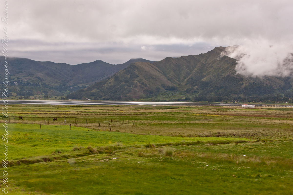
In this photograph, distant cattle graze against backdrop of the lagoon and andean foothills.
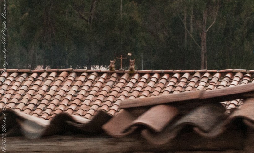
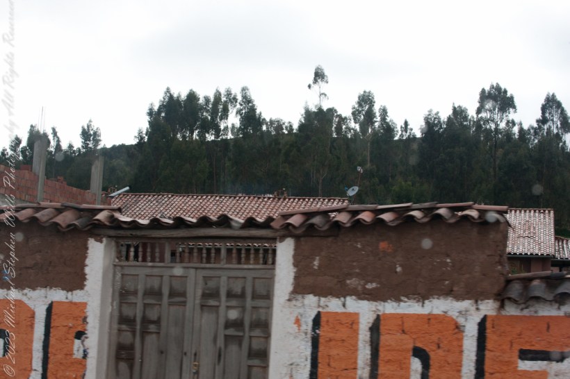
You can just make out the Bulls and Cross in the center of this photograph. A detail is provided, below. The words on the facade is a political statement – a presidential election was then underway.
A couple of ceramic Bulls stand on the middle of most rooftops in Cuzco where they stand as if on a hilltop looking out on the rolling, downward-sloping pastures of orange tiles. This powerful image is one of good fortune and protection for the house and the families that inhabit it.
This tradition comes from the time of the Incas. They relied on images of alpacas that they called illas. These alpacas had a hole in their loin where one could put alpaca fat and then bury them in the Earth to obtain protection for their agriculture as well as a good harvest. They also used illas to protect their flocks of alpacas and llamas, as well as to guarantee their reproduction. Illas in the form of houses were also used to protect buildings so that they would be safe and last.
Illas have been found Cusco. We can see them in the Cusco Museo Inca, the Inca Museum, of the National University of San Antonio Abad.
With the coming of the Spanish, the people of Cuzco made a change in the form of the illas. They added to the three mentioned above the bulls of Pucará. The name Pucará comes from the place where the bulls were first raised, on the broad grasslands of the altiplano, the high plateau, of Puno, as it approaches the pass of La Raya from which a highway drops to Cuzco. The area of Pucará is famous for its herds of cattle, sheep, and especially the native llamas and alpacas.
The high grasslands have always had symbolic importance for the people of Cuzco because from them came the herders of camelids (llamas and alpacas) as well as many of the freeze dried potatoes, the chuño and moraya, that were important food stocks.
From the also came, according to one of the two versions of the origin story of the Incas, the founding couple Manco Capac and Mama Ocllo. The story relates how they journeyed from Lake Titicaca which is in the center of those grasslands, and which was also the center of one of the most important Pre-Inca civilizations, that of Tiwanaku.
Pucará was an important site where the northern form of the Tiwanaku civilization developed. This may also play a role in the value people give to the toritos, or bulls, from Pucará.
This grassland and lake area is also important for a Pre-Inca set of stories about the hero Thunupa, who is also related to the lightning and is assimilated sometimes to the great god Viracocha and sometimes to Illapa the god of thunder and lightning. Pucará became an important center for the making of pottery which was widely distributed. Intriguingly a center of pottery making closer to Cuzco, Raqchi, is also associated with Thunupa, Viracocha, and Illapa. It was the site of the great temple to Viracocha built by the Incas.
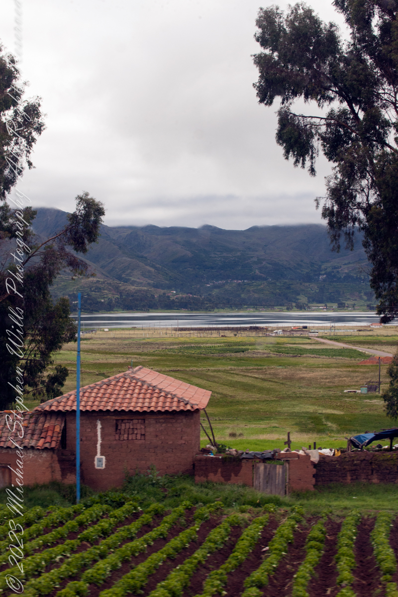
As seen from Avenue del EjércitoIts near Chinchero, Peru. Lagoon waters lap the distant, terraced andean foothills, look closely to see fish drying racks on the near shore, 11,270 feet altitude. Here, water boils at 191 degrees Fahrenheit, not 212.
Puray comes from an ancient legend narrated by the settlers, where, the Sun god asked Manco Capac that his twin sons accompany him in his sunset and when the time came, they discovered that the son who walked farther had become the Huaypo (Huaypo) Lagoon (9 miles west) and the daughter in the Piuray (Puray) Lagoon.
In this photograph, distant cattle graze against backdrop of the lagoon and andean foothills.
Puray lagoon is located in the upper part of the Sacred Valley of the Incas, southeast of Chinchero and 19 miles northwest of Cusco. The Piuray (Puray) Lagoon is a source of water of surface origin. It is one of the most important sources of the city of Cusco, as it supplies 42% of drinking water in the city as well as the Sacred Valley of the Incas and other provinces of the region. It was the Incas who carried Piuray (Puray) Lagoon water to the imperial city (Cusco) through underground aqueducts. Quechua natural region, Peru
Copyright 2023 Michael Stephen Wills All Rights Reserved
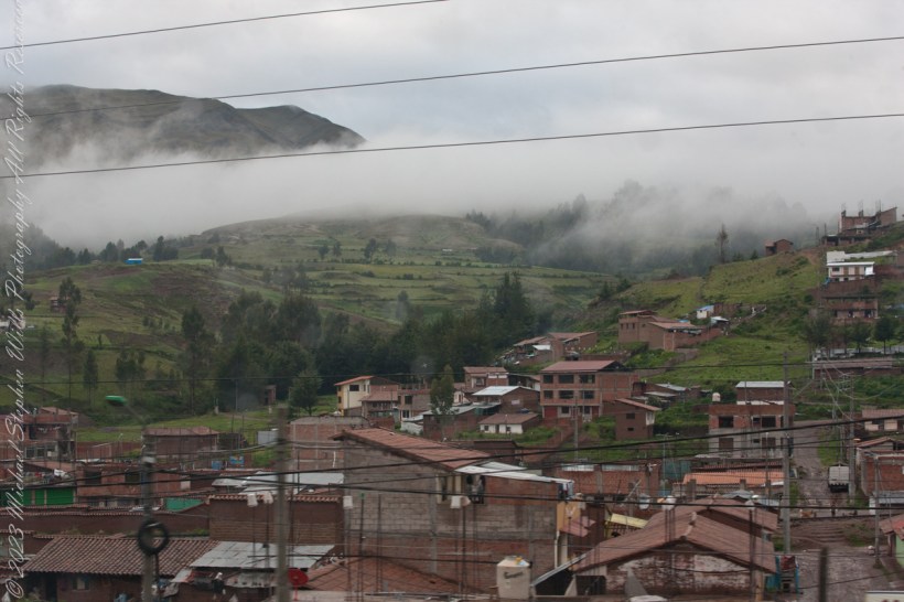
Here we are, passing the outskirts in the hills surrounding Cusco, Peru. Route 3S, going under various names. Highland Road (North) (Longitudinal de la Sierra Norte)Highway, climbs out of Cusco in broad switchbacks.
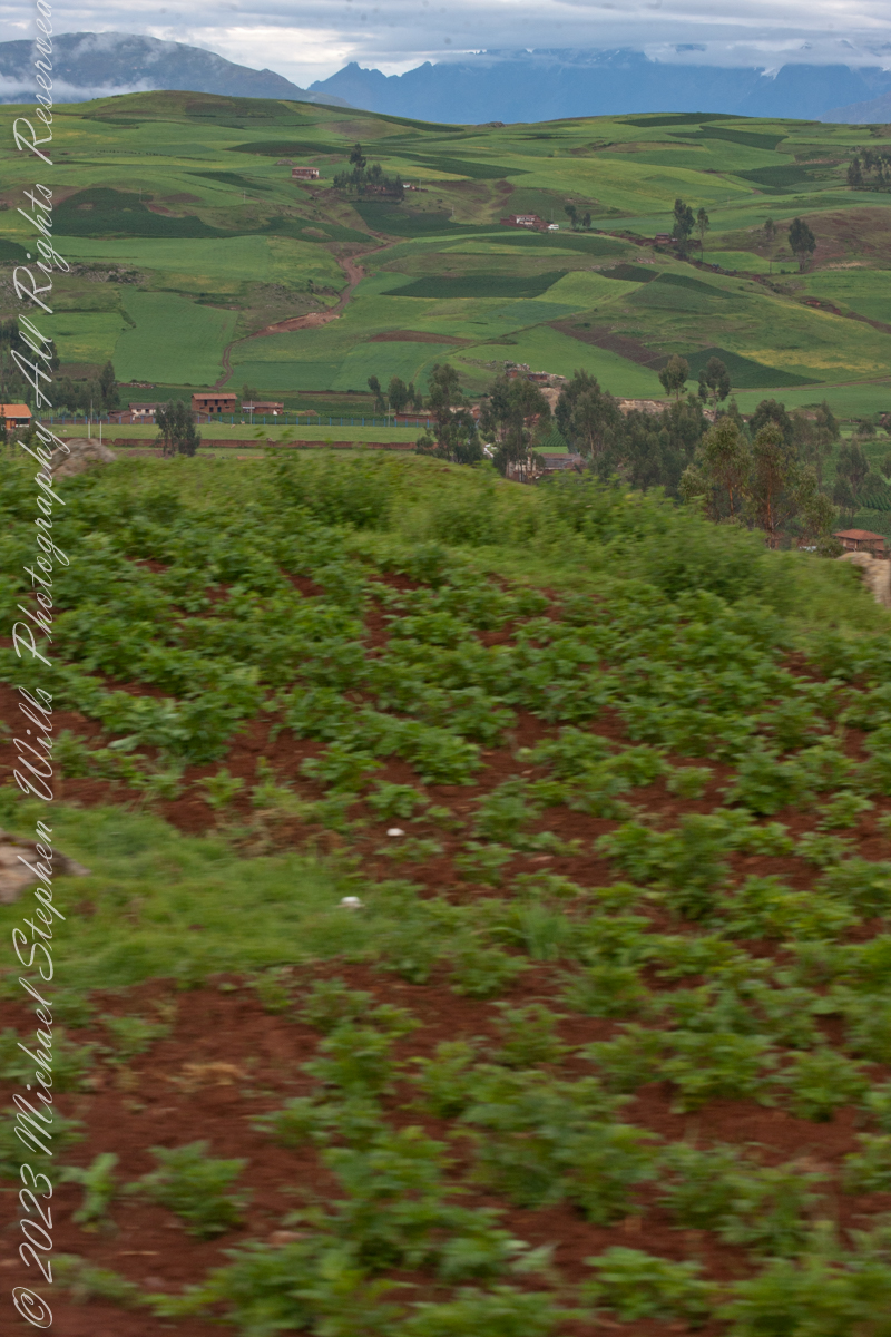
View of terraced fields from route 3S through the hills above Cusco, Peru. “In the South American Andes, farmers have used terraces, known as andenes, for over a thousand years to farm potatoes, maize, and other native crops.“
“Terraced farming was developed by the Wari culture and other peoples of the south-central Andes before 1000 AD, centuries before they were used by the Inca, who adopted them. The terraces were built to make the most efficient use of shallow soil and to enable irrigation of crops by allowing runoff to occur through the outlet. The Inca people built on these, developing a system of canals, aqueducts, and puquios to direct water through dry land and increase fertility levels and growth. These terraced farms are found wherever mountain villages have existed in the Andes. They provided the food necessary to support the populations of great Inca cities and religious centers such as Machu Picchu.“
Reference: “Terrace (earthworks)” Wikipedia
Copyright 2023 Michael Stephen Wills All Rights Reserved
In this post we start the day of my posting “Family Trek“, July 19, 2008, when, well before the sun rose at 6:23 am Mountain Daylight Time (the Navajo Reservation observes daylight savings, the rest of Arizona does not), Pam and I were at the Spider Rock Overlook.
Most visitors to the canyon make use of a system of roads and parking lots next to strategic views. There is the White House Overlook we visited our first day, July 18, to hike from the trailhead into the canyon. There are also, on the south side of the canyon:
Tsegi Overlook, taken from a Navajo word that translates directly to “between the rocks” and usually refers to a deep canyon with steep cliffs.
Junction Overlook above the point where Canyon Del Muerto (see my posting “Sun and Shade, Canyon Del Muerto”, and Canyon De Chelly intersect. There is an Anasazi ruin in the south-facing cliff across the canyon.
Sliding House Overlook, another Anasazi run across the canyon.
Face Rock Overlook, to view the eponymous formation.
Spider Rock Overlook, the most stunning rock formation.
Click any photograph for my Online gallery.
Looking east from the Spider Rock overlook, Canyon De Chelly.
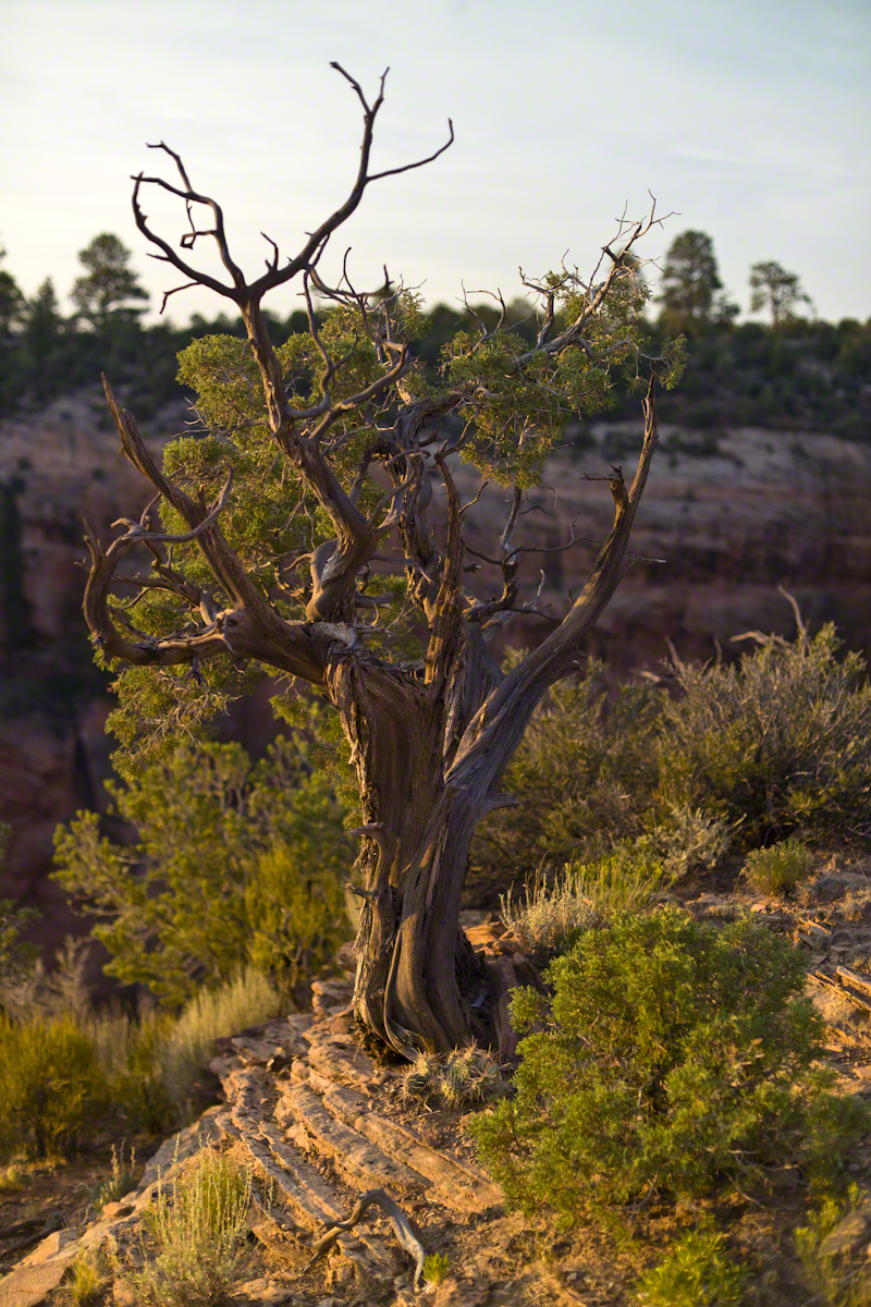
While getting ready I scoped out the location for interesting visual tropes. Utah Junipers are exceptionally hardy shrubs, stressed individual plants grow into compelling forms shaped by hardship. As the sun rose, this specimen emerged from the gloom and caught the first sun rays.
Click any photograph for my Online gallery.
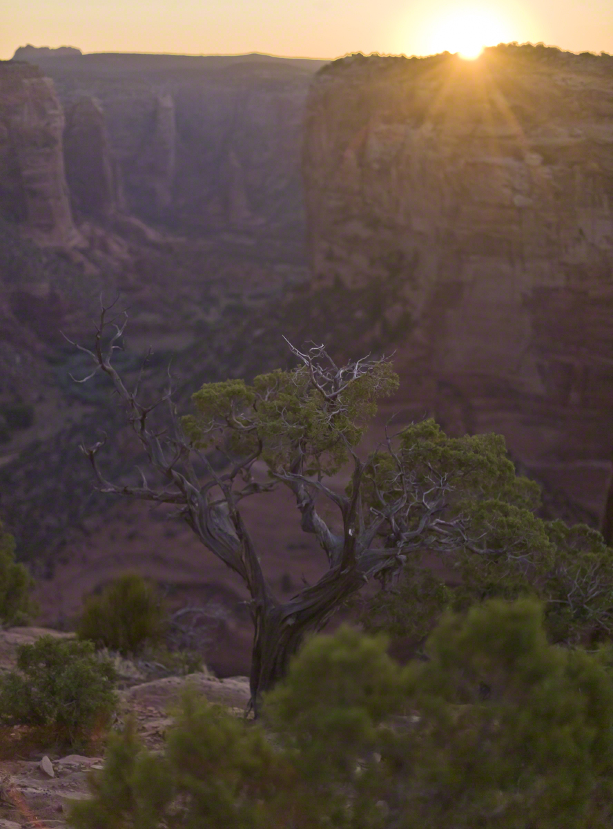
A distressed Utah Juniper on the edge of Canyon De Chelly overlooking Needle Rock a few moments after sunrise.