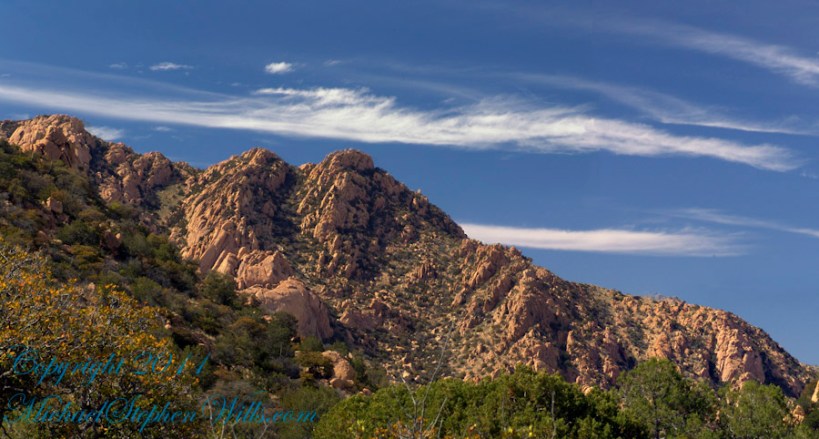
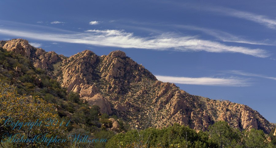
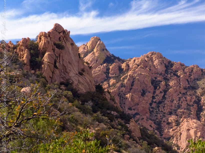
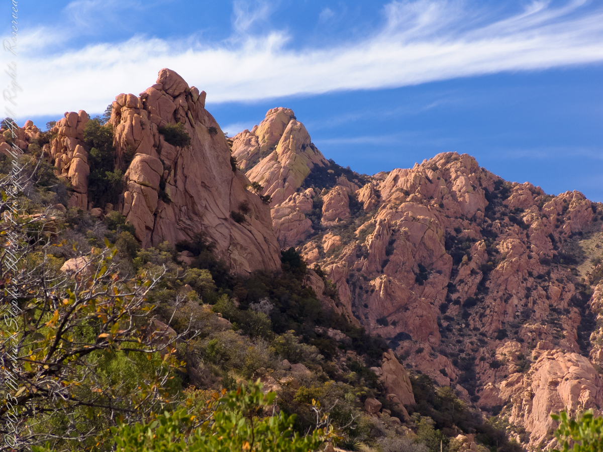
Dragoon Mountains of southeastern Arizona are named, not for the resemblance of this ridge to the back of a Dragon, but for a type of soldier trained for horseback riding and infantry. These were the U.S. troops sent to “pacify” the Chiricahua Apache homeland.
Understanding location lighting is a matter of experience and luck.
Cochise Stronghold campsites are on the eastern slope of the Dragoons, sheltering them from the late afternoon sun.
One this day in April I explored the trails until sunset and was lucky enough to be setup for the 14 minutes of that day when the light was absolutely perfect.
Copyright 2023 Michael Stephen Wills All Rights Reserved
Understanding location lighting is a matter of experience and luck.
Cochise Stronghold campsites are on the eastern slope of the Dragoons, sheltering them from the late afternoon sun.
One this day in April I explored the trails until sunset and was lucky enough to be setup for the 14 minutes of that day when the light was absolutely perfect.
“Dragoon Spires in Afternoon Light”
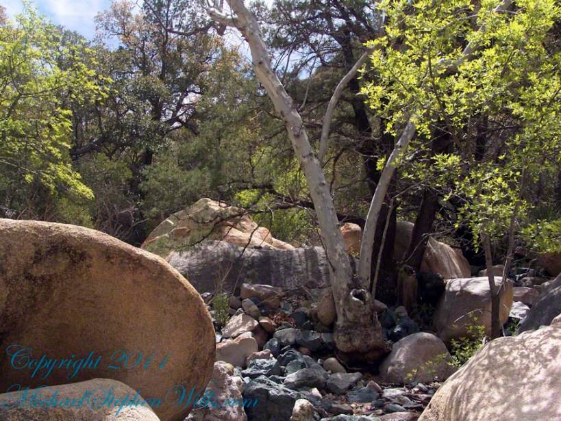
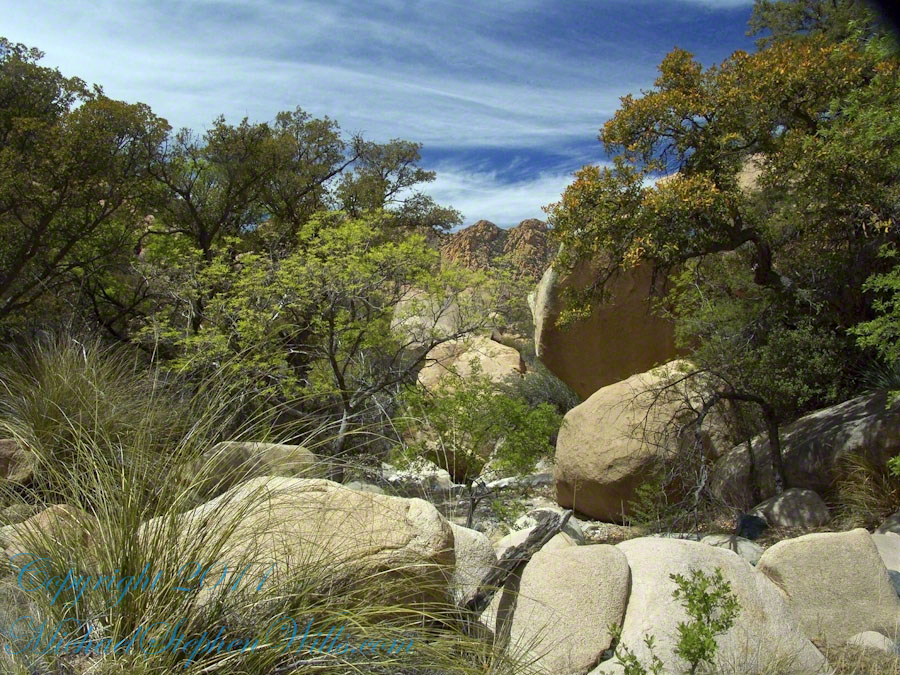
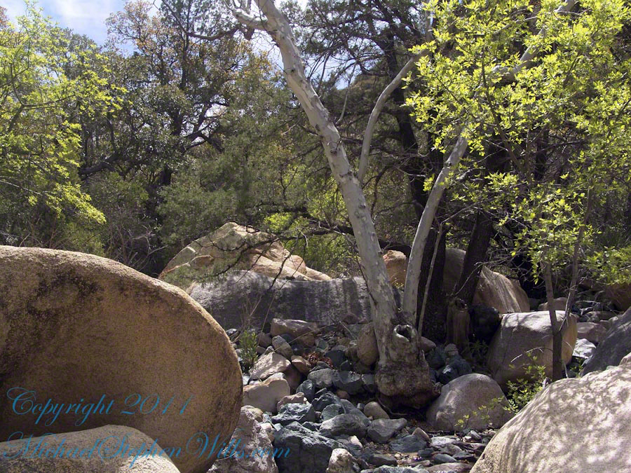
These photographs are from two days spent at Cochise Stronghold, a part of the U.S. Forest Service Coronado Forest managed by Arizona State Parks located off the Interstate 10 East of Tucson between Benson and Wilcox.
This rugged natural fortress was, for some 15 years, the home and base of operations for the famed Chiricahua Apache Chief, Cochise. Cochise and about 1,000 of his followers, of whom some 250 were warriors, located here.
Born in present-day Arizona, Cochise led the Chiricahua band of the Apache tribe during a period of violent social upheaval. In 1850, the United States took control over the territory that today comprises Arizona and New Mexico. Not hostile to the whites at first, he kept peace with the Anglo-Americans until 1861, when he became their implacable foe because of the blunder of a young U.S. Army officer, Lt. George Bascom. In that year, Cochise and several of his relatives had gone to an encampment of soldiers in order to deny the accusation that they had abducted a child from a ranch. The boy was later proved to have been kidnapped by another band of Apaches.
During the parley, Cochise and his followers were ordered held as hostages by Bascom, but Cochise managed to escape almost immediately by cutting a hole in a tent. Bascom later ordered the other Apache hostages hanged, and the embittered Cochise joined forces with Mangas Coloradas, his father-in-law, in a guerrilla struggle against the American army and settlers. The capture and murder of Mangas Coloradas in 1863 left Cochise as the Apache war chief. The U.S. Army captured him in 1871 and prepared to transfer the Chiricahua to a reservation hundreds of miles away, but he escaped again and renewed the resistance campaign. The following year after negotiating a new treaty with the help of Thomas Jeffords, the band was allowed to stay in their homeland.
Cochise is reputed to have been a master strategist and leader who was never conquered in battle. He died peacefully on the newly formed Chiricahua reservation in 1874. His son, Taza succeeded him as chief. Upon his death, he was secretly buried somewhere in or near his impregnable fortress. The exact location has never been revealed or determined.
The town of Cochise, Cochise County, the renowned geological feature known as Cochise’s Head in the Chiricahua Mountains, and the Stronghold are all named in tribute to him.
Copyright 2023 Michael Stephen Wills All Rights Reserved
These photographs are from two days spent at Cochise Stronghold, a part of the U.S. Forest Service Coronado Forest managed by Arizona State Parks located off the Interstate 10 East of Tucson between Benson and Wilcox.
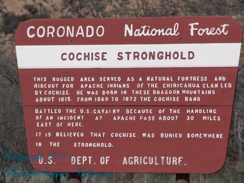
Here is the Cochise Stronghold information sign from the Douglas Ranger District of the Coronado National Forest.
The Dragoon Mountains are a low range that barely rises above the surrounding desert floor. Nevertheless, the granite boulders are spectacular and well worth visiting for the scenery alone. This mountain range is remote from cities or even any large towns, so visitation is light. Late fall, winter, and early spring are the best times to visit. Temperatures exceeding 100 degrees are common even in spring and fall. Cochise Stronghold Campground is closed in June, July, and August due to the often-extreme heat.
Safety First: Heat and low humidity are real hazards for people unfamiliar with desert climates. A person can loose up to 5 quarts of fluid a day and it is easy to become seriously dehydrated without realizing it, so drink plenty of fluids even if you do not feel very thirsty. Always carry extra water in your car. When going on a hike, even if a short one, take a day pack with water, snack foods, protective clothing, flashlight, first aid kit, compass, and map. To avoid sun in
Copyright 2023 Michael Stephen Wills All Rights Reserved
An excerpt from an interview by Diane Frances Wills of our father Thomas Francis Wills for a seventh-grade assignment about 1971. I did some editing to correct the date based on historical records and my father’s military records (Michael Stephen Wills).
Thomas enlisted for
the navy one day after his 24th birthday, September 25, 1939 and
served 6 years and a few weeks until October 7, 1945 having experienced the
Battle of the Atlantic (American Defense Medal) and liberation of the Philippines
(WWII Victory Medal, American Campaign Medal, Asiatic Pacific Theater, Philippine
Liberation Ribbon). Here is his
description of an incident from that time:
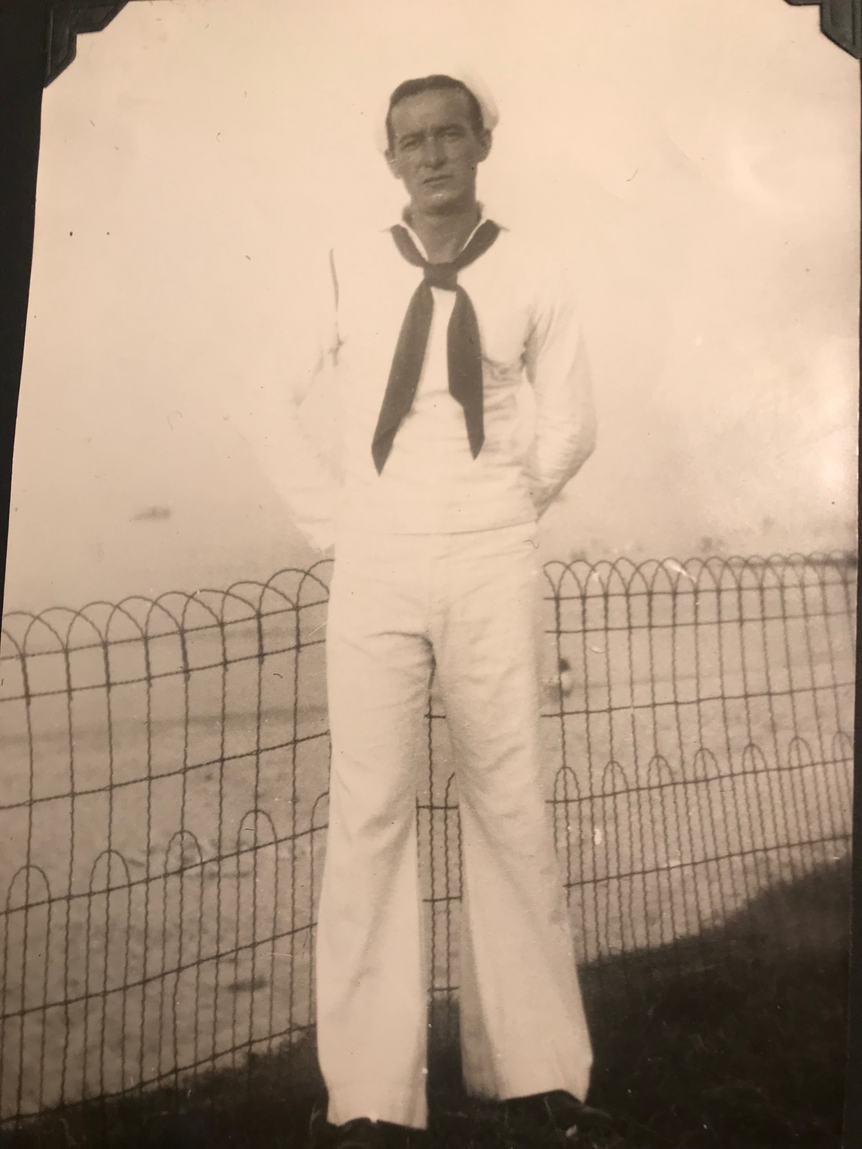
Thomas Francis Wills, Ocean View Beach, Virginia, 1940
1 Year, 6 months after my enlistment in New York City, March 1941, on the USS Upshur two days out of Boston on its run to Reykjavik, Iceland delivering mail and supplies to the marines stationed to prevent the Germans from establishing a base. Steaming north we got word there was a gale blowing in our path. We all became apprehensive. I asked Bill Rogers, the radioman, about the approaching storm. “Say, Bill, I see by the weather report we’re heading info some rough weather. How long do you think it will last?”
“Yeah, according to the latest weather report it is a regular Northeaster and we can expect a couple days of rough winds and high waves, also very cold weather. We’ll have to secure everything topside so it won’t blow or be washed overboard. We can also expect very little in the way of normal meals except for maybe coffee and sandwiches.” On such a small ship the cooks can’t prepare meals in such weather.
USS Upshur, 1940, the ten-man crew, including Thomas Wills, is on the bow
As we approached the storm zone the sea got rough and the wind started blowing. Soon we were well into a horrible storm. The sky got dark and gloomy, full of dark bold clouds. The ocean rough, choppy and black. The rain started coming down sharp and harsh, cold and icy. The rain cut through your body like piercing arrows, it chilled your bones.
Sometimes I thought the ship was going to sink, the waves and the wind were so strong. The bow would go bluntly into the water. The ship listed sideways, seeming to almost rolling over. The waves carried our ship up, then go out from underneath sending us crashing down. This happened over and over, endlessly.
I was on duty in the radio shack and had to walk the whole length of the ship from my sleeping quarters. Many times, I almost went overboard, the wind was so strong. I could lay on my stomach but it did not help because I could still slide through the railings. I would freeze to death in five minutes in that water. I hope I never had to go through that again, seems like yesterday. All we had to wear was a sailor suit, not too warm. I’d just get all soaked.
My shipmates and I, a five-foot eight-inch boy of 25 with dark brown hair, had to be calm and keep doing our normal scheduled duties, because we learned you can’t get panicky or else you will put your whole ship out of order.
The storm went on until the end of night. I thought the storm would never end. It felt as if it lasted a week. At that time no other ships sailed with us, so there was no possibility of help. Nobody fell over the side or was drowned.
After that, a German U-Boat launched a torpedo at us and missed. We searched, tried to sink them without success.
Copyright 2023 All Rights Reserved Michael Stephen Wills
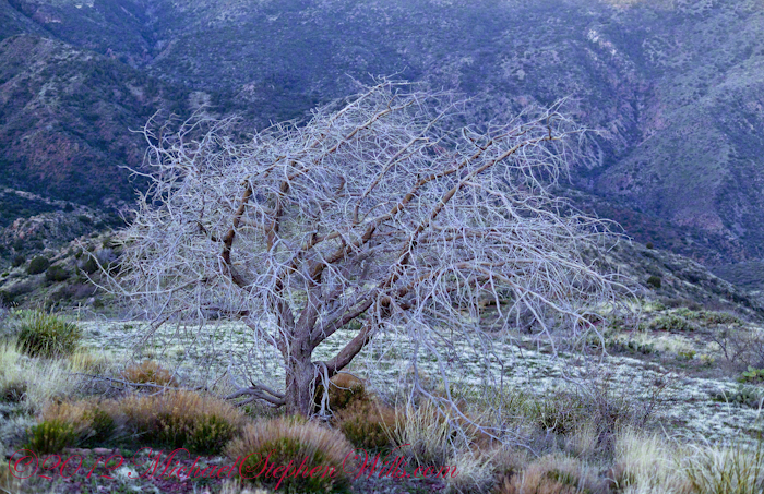
On my fourth morning, after I awoke to am immense silence, my first photography subject was the lone dry juniper you see below.
Then the dawn lit up the far mountains. You can view a larger image these mountains at dawn in my previous blog, “Superstition Wilderness Dawn.”
A Lone Dry Juniper
This is a photograph of that juniper tree, dryer than most, being dead. I take it to be a One-seed Juniper from the thick growth of branches and the strong rounded aspect of the crown. I captured this photograph from a tripod mount using a Kodak DCS slr/c with a Canon EF 50mm f/1.4 USM lens.
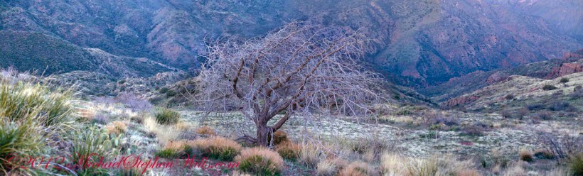
Looking into Reavis Creek Canyon from Lime Mountain
I used the tripod to bracket this shot on the left and right for the following panorama.
The Reavis Creek Canyon from Lime Mountain while still in shadow, morning
The Spirit of Elisha Reavis
From this vantage you can see my route into Reavis Creek Canyon and Reavis Falls taken on the first afternoon of the expedition. That first morning I loaded up 65 pounds of food, supplies and photography equipment and headed out from the Reavis Trailhead on the Reavis Ranch Trail. This was one of the trailed used by Elisha Reavis to ride a favorite burro and a string of 8 to 15 burros loaded with vegetables he sold to various communities throughout central Arizona. See my blogs “A Ride to Reavis Ranch” and “Apple Orchard in the Wilderness“for views of the paradise (as of the early 21st century) where Elisha Reavis, lived and prospered in the latter part of the 19th century where he lived his 70’s.
This his mountain valley, using a perennial creek, Reavis cultivated and irrigated about fifteen acres of land by himself with chickens, turkeys, hogs, burros, two horses and several dogs. The horses, teamed together, pulled a shear plow, disc and leveler. On April 9, 1896 Reavis was preparing of another trip to Mesa, to buy seed potatoes, and was found by a friend a month later on what is now the Reavis Ranch trail, to the south and west of his valley, near what is now called Grave Canyon were friends buried him.
Past the Dry Juniper and Down
102 years later, I headed up the Reavis Ranch Trail, over the ridge of Lime Mountain and past this dry juniper in the same spirit as Elisha Reavis if for a different purpose.
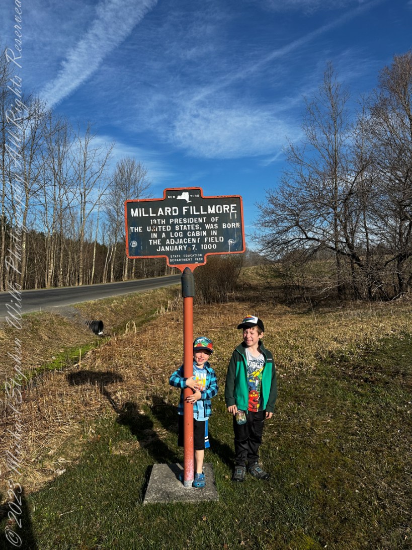
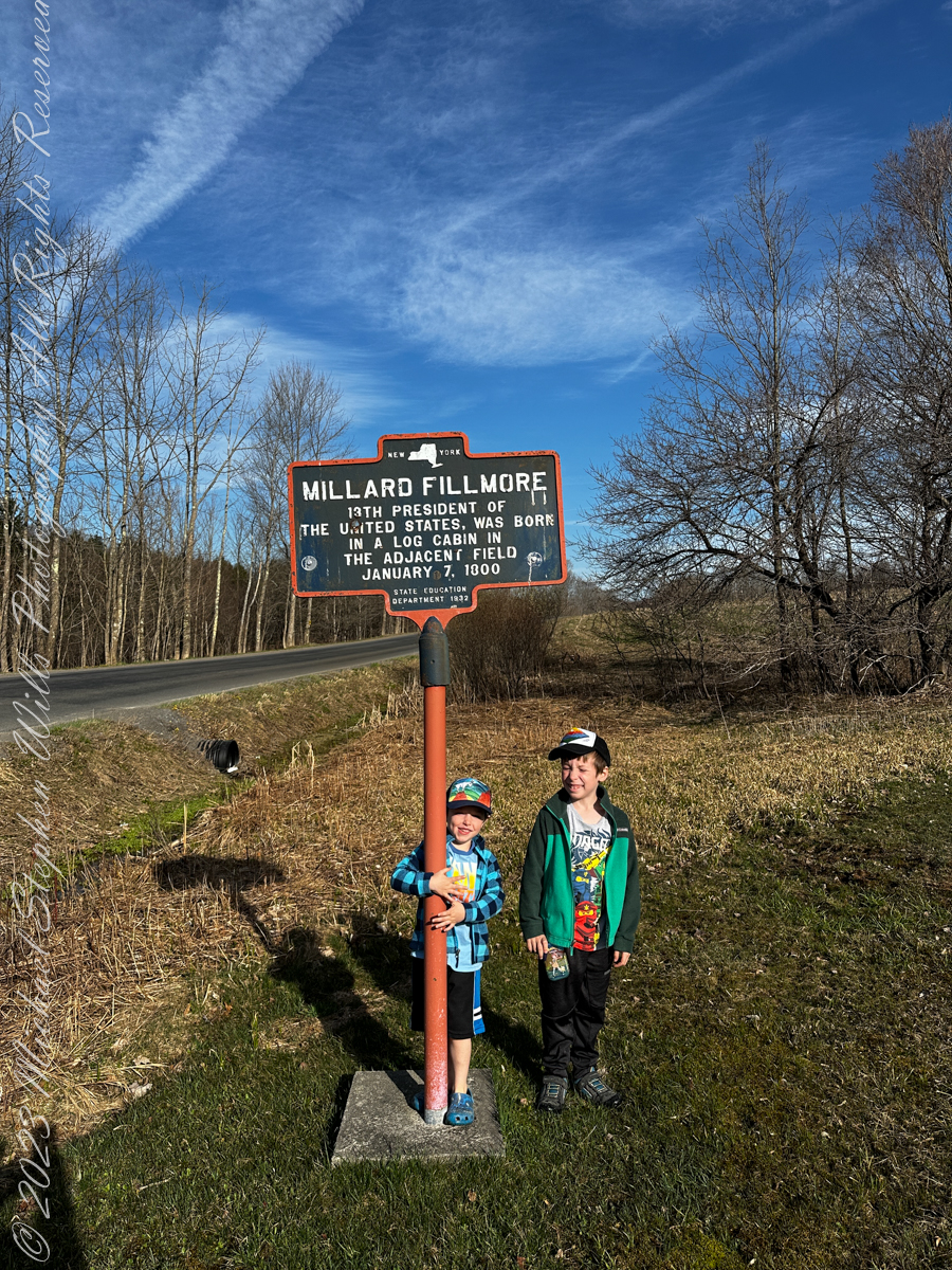
Last Friday the grandsons and I had an outing to the hills above Moravia in Cayuga County, there we visited the birthplace of Millard Fillmore. The site is a rather steep, rocky hillside near where the future President was born in a log cabin. He was not the last future President thus born, James Garfield in 1831 was born fatherless in Ohio in a log cabin. The future 20th President and the last to be so born. Nine years after Millard Fillmore, Abraham Lincoln was born, February 12, 1809 in the same residential circumstance and was the first future President born west of the Appalachian Mountains at Sinking Springs Farm, Kentucky. At least seven (7) future USA Presidents were born in log cabins, the others are: Andrew Jackson, James K. Polk, James Buchanan, Andrew Johnson, Chester A. Arthur.
There is quite a bit to do at this open air museum: educational signs, split rail fencing from that time, a pavilion build from concrete, steel I-beams and a metal roof with picnic tables where we played games.
On the way to Fillmore Glen New York State Park to visit an actual log cabin from that time, we stopped at the Lickville Cemetery on Lick Street. Opened a few years after Fillmore’s birth, 1807, 180 headstones are still standing. We practiced sounding out words from the large carved letters on the stones.
After visiting the log cabin our day was interrupted by symptoms of a stomach flu that has been terrorizing all our families. Fortunately, I escaped. Our plan is to continue to explore Fillmore Glen at a later time.
More about Millard Fillmore from Wikipedia
Millard Fillmore was born on January 7, 1800, in a log cabin, on a farm in what is now Moravia, Cayuga County, in the Finger Lakes region of New York. His parents were Phoebe Millard and Nathaniel Fillmore, and he was the second of eight children and the oldest son.
Nathaniel Fillmore was the son of Nathaniel Fillmore Sr. (1739–1814), a native of Franklin, Connecticut, who became one of the earliest settlers of Bennington, Vermont, when it was founded in the territory that was then called the New Hampshire Grants.
Nathaniel Fillmore and Phoebe Millard moved from Vermont in 1799 and sought better opportunities than were available on Nathaniel’s stony farm, but the title to their Cayuga County land proved defective, and the Fillmore family moved to nearby Sempronius, where they leased land as tenant farmers, and Nathaniel occasionally taught school. The historian Tyler Anbinder described Fillmore’s childhood as “one of hard work, frequent privation, and virtually no formal schooling.”
Over time Nathaniel became more successful in Sempronius, but during Millard’s formative years, the family endured severe poverty. Nathaniel became sufficiently regarded that he was chosen to serve in local offices, including justice of the peace. Hoping that his oldest son would learn a trade, he convinced Millard, who was 14, not to enlist for the War of 1812 and apprenticed him to clothmaker Benjamin Hungerford in Sparta. Fillmore was relegated to menial labor, and unhappy at not learning any skills, he left Hungerford’s employ.
His father then placed him in the same trade at a mill in New Hope. Seeking to better himself, Millard bought a share in a circulating library and read all the books that he could. In 1819 he took advantage of idle time at the mill to enroll at a new academy in the town, where he met a classmate, Abigail Powers, and fell in love with her.
Later in 1819 Nathaniel moved the family to Montville, a hamlet of Moravia. Appreciating his son’s talents, Nathaniel followed his wife’s advice and persuaded Judge Walter Wood, the Fillmores’ landlord and the wealthiest person in the area, to allow Millard to be his law clerk for a trial period. Wood agreed to employ young Fillmore and to supervise him as he read law. Fillmore earned money teaching school for three months and bought out his mill apprenticeship. He left Wood after eighteen months; the judge had paid him almost nothing, and both quarreled after Fillmore had, unaided, earned a small sum by advising a farmer in a minor lawsuit. Refusing to pledge not to do so again, Fillmore gave up his clerkship. Nathaniel again moved the family, and Millard accompanied it west to East Aurora, in Erie County, near Buffalo, where Nathaniel purchased a farm that became prosperous.
Copyright 2023 Michael Stephen Wills All Rights Reserved.
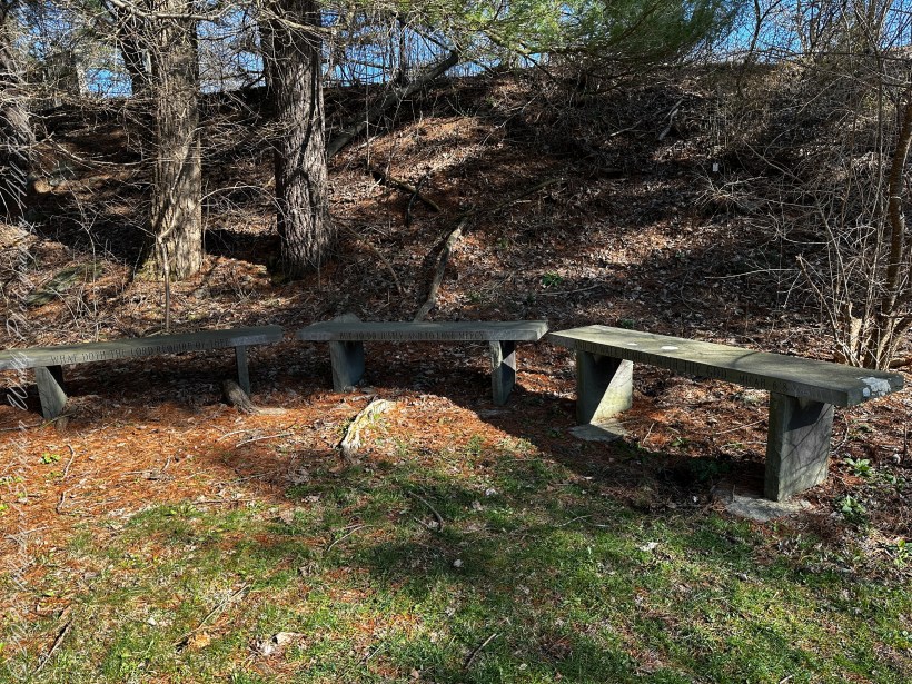
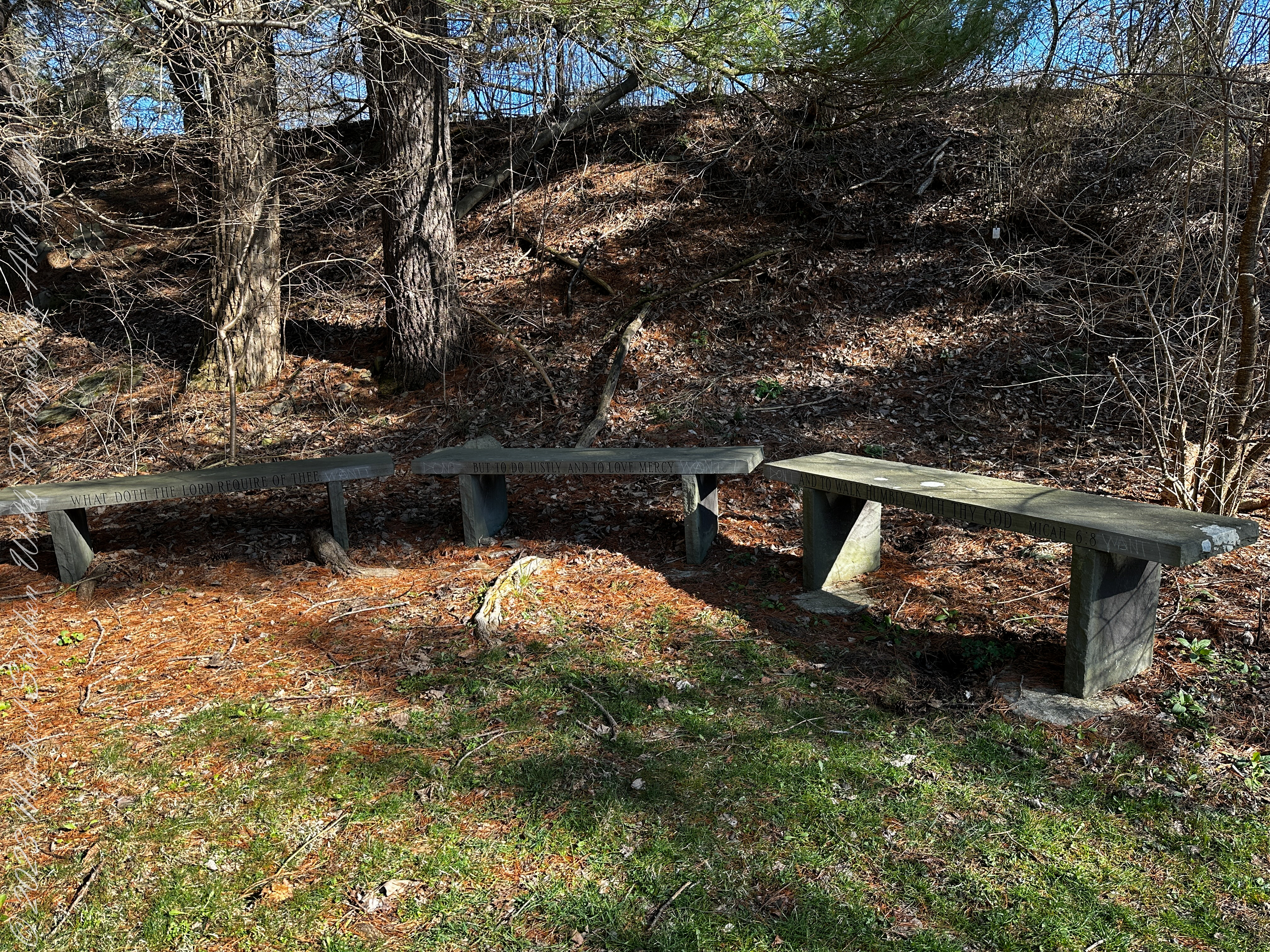
Pam and I ambled around the Arboretum for our Easter 2023 outing. We found a path new to us, with this memorial stone bench, a biblical quote engraved on the seats. Biblical Quote on bench: “What doth the lord require of thee / but to do justly and to love mercy / and to walk with thy god.” Micah 6:8
The Book of Micah is the sixth of the twelve minor prophets in the Hebrew Bible. Ostensibly, it records the sayings of Micah, whose name is Mikayahu (Hebrew: מִיכָיָ֫הוּ), meaning “Who is like Yahweh?”, an 8th-century BCE prophet from the village of Moresheth in Judah (Hebrew name from the opening verse: מיכה המרשתי). The book has three major divisions, chapters 1–2, 3–5 and 6–7, each introduced by the word “Hear,” with a pattern of alternating announcements of doom and expressions of hope within each division. Micah reproaches unjust leaders, defends the rights of the poor against the rich and powerful;[ while looking forward to a world at peace centered on Zion under the leadership of a new Davidic monarch. While the book is relatively short, it includes lament (1.8–16; 7.8–10), theophany (1.3–4), hymnic prayer of petition and confidence (7.14–20), and the “covenant lawsuit” (6.1–8), a distinct genre in which Yahweh (God) sues Israel for breach of contract of the Mosaic covenant.
All photography using the IPhone 14 ProMax triple camera, raw format, edited on the phone.
In the quote tract, (6:6–8), Micah speaks on behalf of the community asking what they should do in order to get back on God’s good side. Micah then responds by saying that God requires only “to do justice, and to love mercy, and to walk humbly with your God.” Thus declaring that the burnt offering of both animals and humans (which may have been practiced in Judah under Kings Ahaz and Manasseh) is not necessary for God.
Reference: “Micah” Wikipedia
Copyright 2023 Michael Stephen Wills All Rights Reserved
In more recent centuries Loughcrew became the seat of a branch of the Norman-Irish Plunkett family, whose most famous member became the martyred St Oliver Plunkett. The family church stands in the grounds of Loughcrew Gardens. With its barren isolated location, Sliabh na Caillí became a critical meeting point throughout the Penal Laws for Roman Catholics. Even though the woods are now gone an excellent example of a Mass Rock can still be seen on the top of Sliabh na Caillí today. The Plunketts were involved in running the Irish Confederacy of the 1640s and were dispossessed in the Cromwellian Settlement of 1652. Their estate at Loughcrew was assigned by Sir William Petty to the Napier Family c.1655. The Napiers are descended from Sir Robert Napier who was Chief Baron of the Exchequer of Ireland in 1593.
Cairnbane East in Ireland, part of the Loughcrew Cairns complex, combines historical significance and folklore, particularly about a witch shaping these megalithic structures.
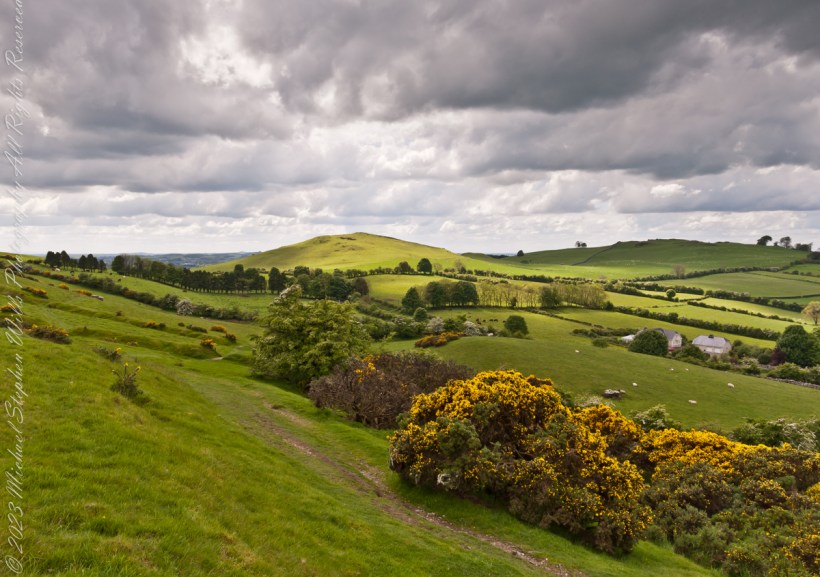
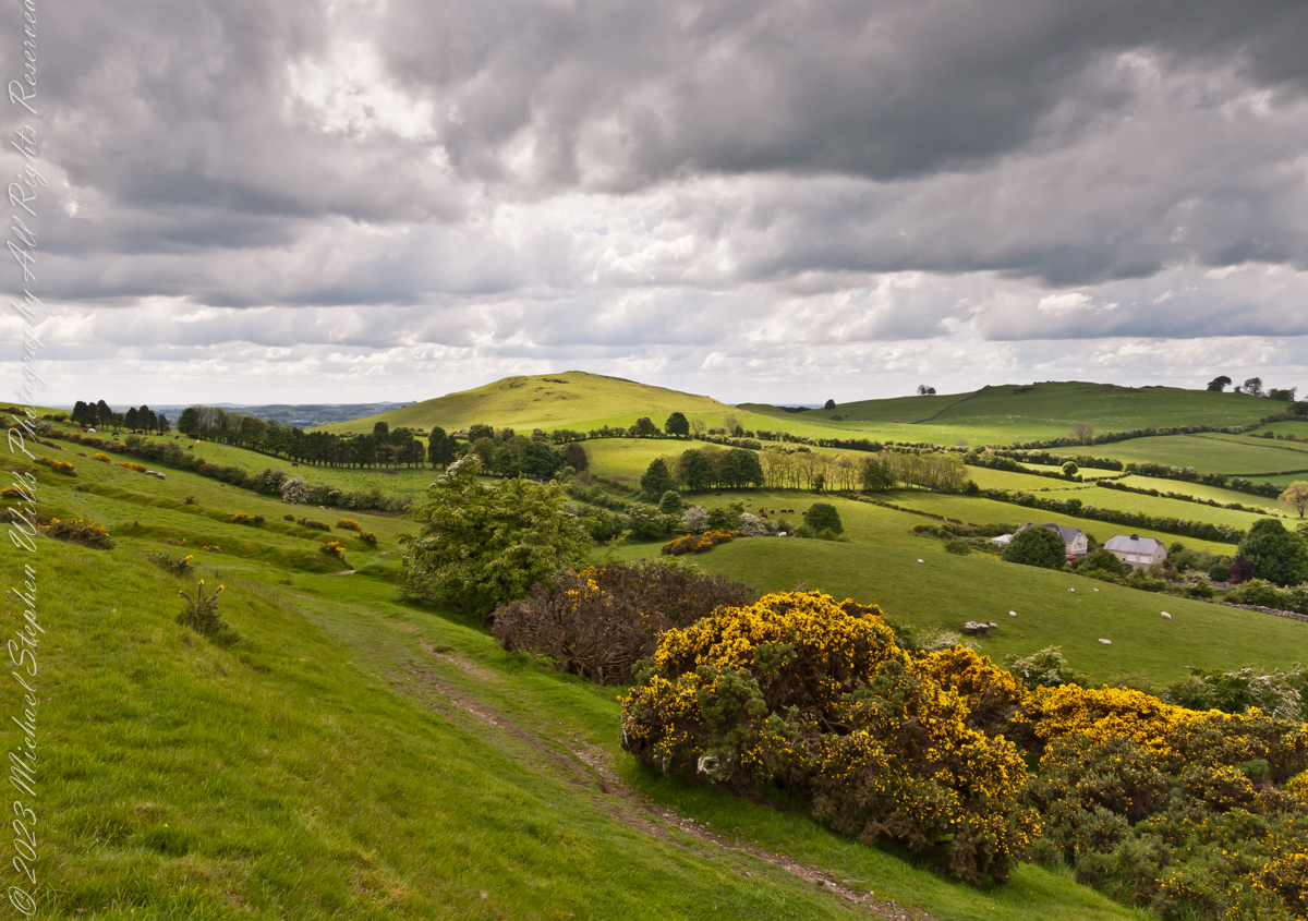
Here we are looking south, southwest from the north side of Slieve na Calliagh (aka Cairnbane East) toward Cairnbane West. Flowering yellow whin bush is in foreground, white flowering hawthorn trees in distance.
Cairnbane East hill is topped by a fine and accessible passage tomb, Cairn T.
Cairnbane East of the Loughcrew Cairns, known colloquially as “Hag’s Mountain,” nestled amidst the rolling hills of County Meath, Ireland, is a site of profound antiquity that beckons the curious traveler with its enigmatic charm. In this beguiling corner of the world, where history and folklore converge like two ethereal streams, the Loughcrew hills with their cairns rise, sentinels of a bygone age, each with its own tale to tell. But it is the myth of the witch, the “Hag of Loughcrew,” that lend a haunting aura to these ancient megalithic structures, invoking a world where magic and reality danced together in a mesmerizing waltz.
The Loughcrew Cairns
The Loughcrew Cairns, those hallowed remnants of an era long past, are monuments that defy the erosion of time. Constructed during the Neolithic period, they bear witness to the ingenuity of ancient minds and the profound spiritual significance these structures held. These tombs, hewn from the earth and stone, were not mere resting places for the departed, but sacred vessels of cosmic alignment, paying homage to the celestial dance of the heavens.
The Witch’s Role
One of the most enduring legends surrounding Hag’s Mountain is the story of a powerful witch who was said to have constructed the cairns. Cairn T includes a kerbstone known as “the hag’s chair.” According to folklore, this enigmatic figure, known as the “Hag of Loughcrew” or the “Cailleach,” commanded supernatural abilities and controlled the forces of nature. The Cailleach, which translates as ‘old woman’, ‘hag’, and ‘veiled one’, exists in both Irish and Scottish Gaelic, and is an expression of the hag or crone archetype found throughout world cultures. Related words include the Gaelic caileag and the Irish cailín (‘young woman, girl, colleen’), the diminutive of caile ‘woman’, and the Lowland Scots carline/carlin (‘old woman, witch’). The Cailleach is associated with winter, and it is believed that she uses her staff to create the winter snows. In some folk tales it is said that she carried massive stones from distant quarries to build the cairns, working tirelessly through the night and completing tasks that would have been impossible for ordinary mortals.
In these legends the Cailleach’s role in the construction of the cairns is believed to explain their precision and alignment with celestial events. The Cailleach used her magical powers to ensure that the cairns’ passageways perfectly aligned with the sun’s rays during the equinoxes, illuminating the inner chambers in a spectacular display of light and shadow.
Conclusion
Slieve na Calliagh weaves a tapestry where history’s threads intertwine with the shimmering strands of folklore. In its stony silence, it echoes the time when myths and reality were inseparable, when the land bore witness to the otherworldly. As we wander amidst the Loughcrew Cairns, gazing upon the ancient stones, we become travelers in a world where the mystical and the corporeal coalesce, and the stories of the witch endure as whispers in the wind, carried through the ages.
Copyright 2023 Michael Stephen Wills All Rights Reserved
On a May afternoon my dear wife, Pam, and I climbed to the summit of in Irish “Sliabh na Caillí” anglicized as “Slieve na Calliagh” translated to the english language as “Hag’s Mountain”, the site of 5000+ year old megalithic monuments. Here you are looking to the northeast with a collapsed tomb to the right foreground. In closeup is a curbstone, one of many laid side to side to form the outer tomb margin. In the middle distance is a hill with additional megalithic ruins, not visible.
Megalithic is an architectural style used throughout the world, between 6,000 and 4,000 years ago in the Neolithic and Bronze Ages. Megalithic ruins are scattered throughout the island and County Meath is especially noted for them.
We stand in Corstown townland, the townlands of Ballinvally is to your left, ahead and to the right is Patrickstown, all in County Meath, Ireland.
Copyright 2023 Michael Stephen Wills All Rights Reserved