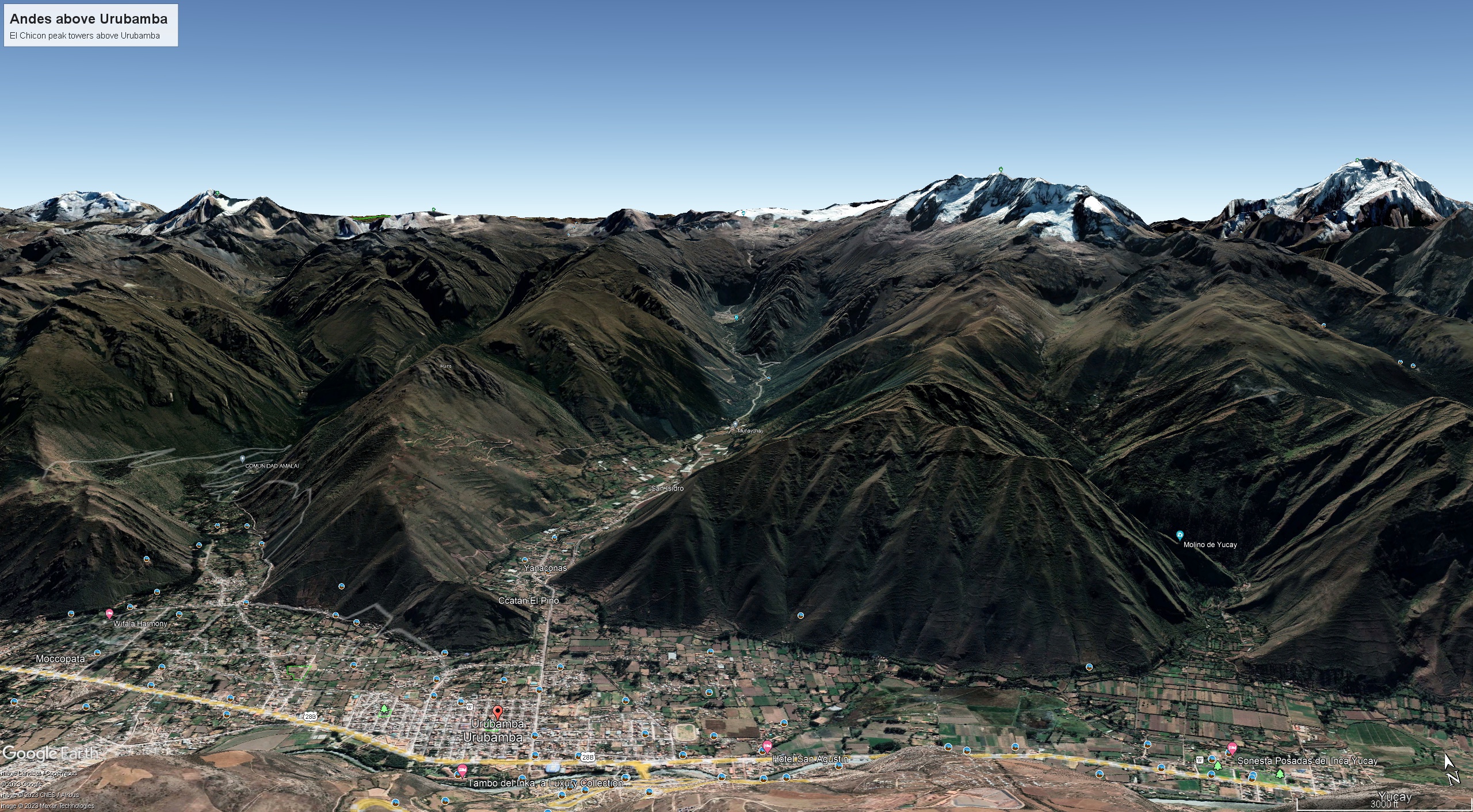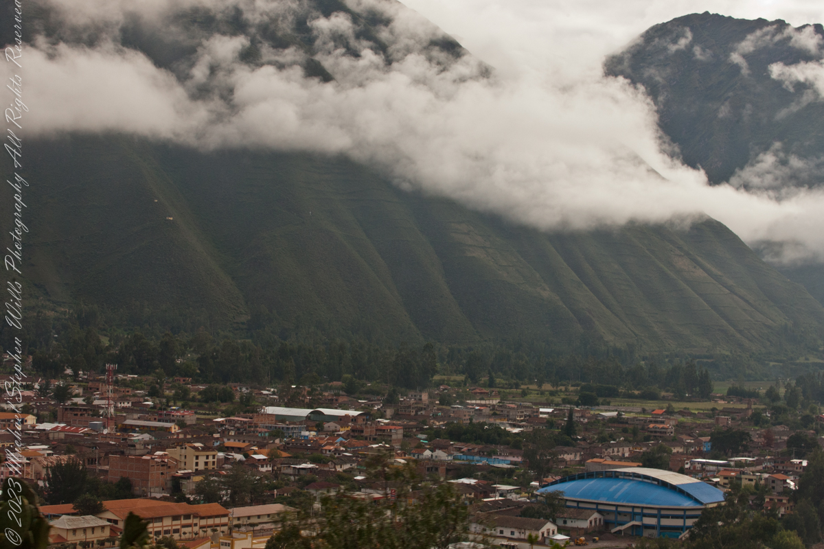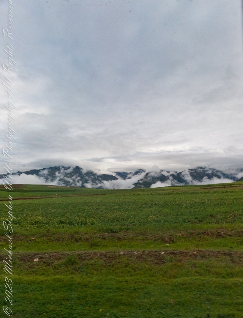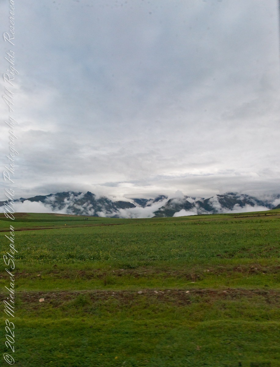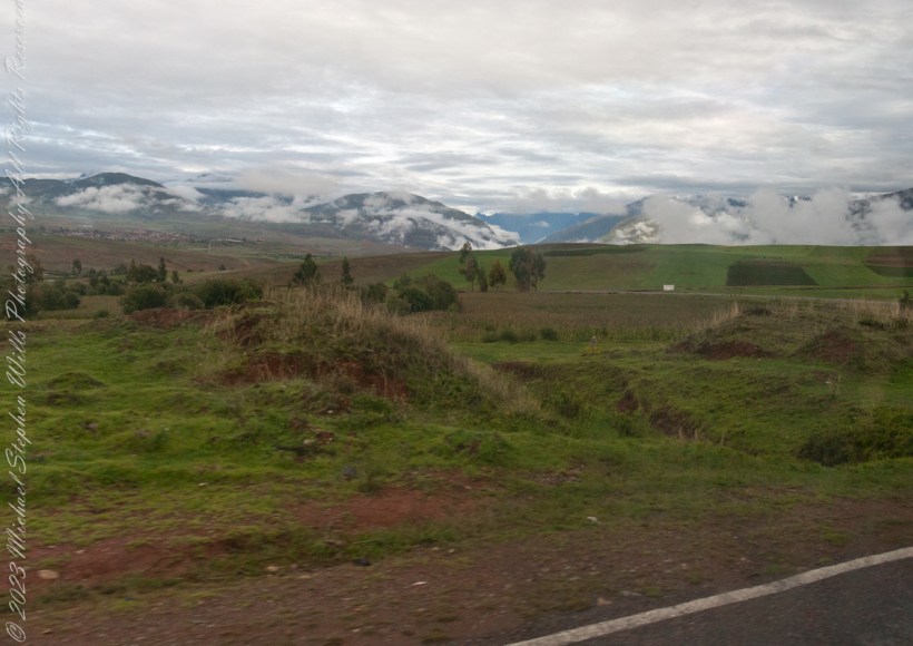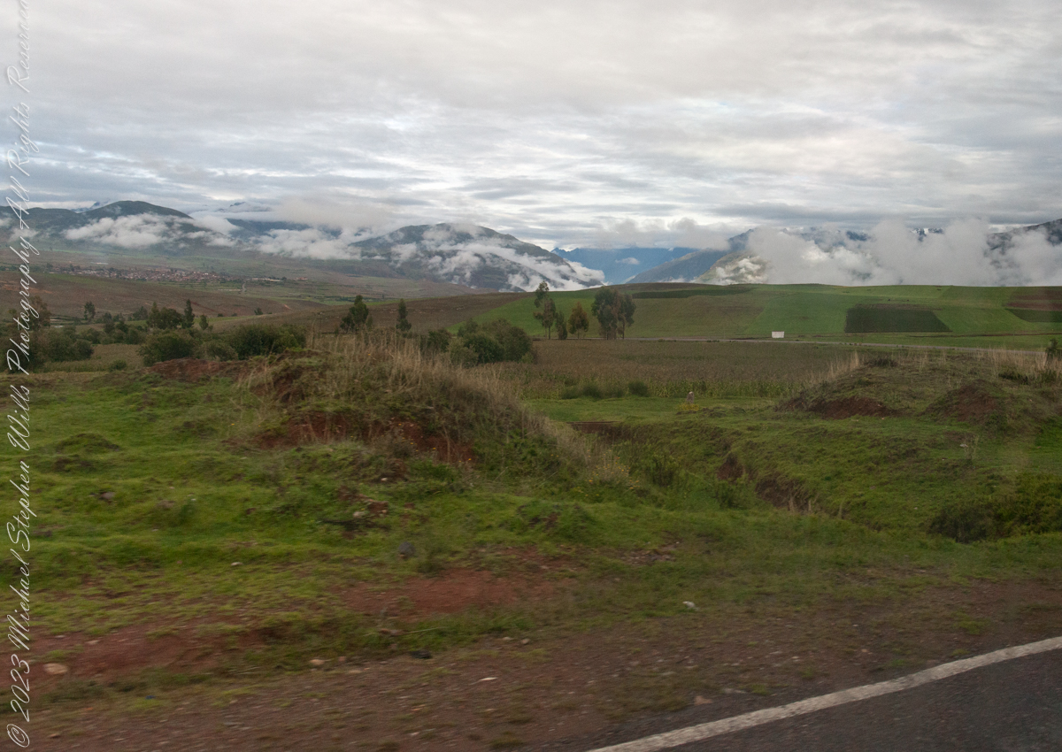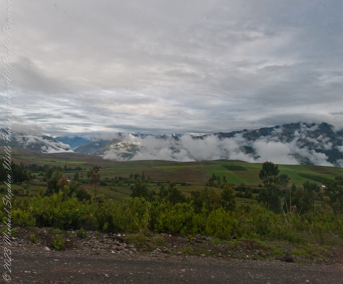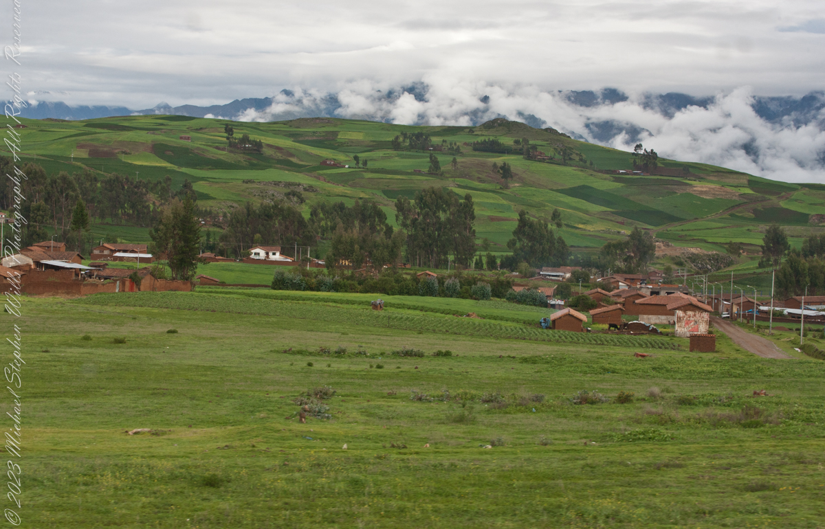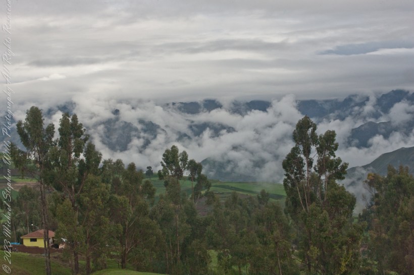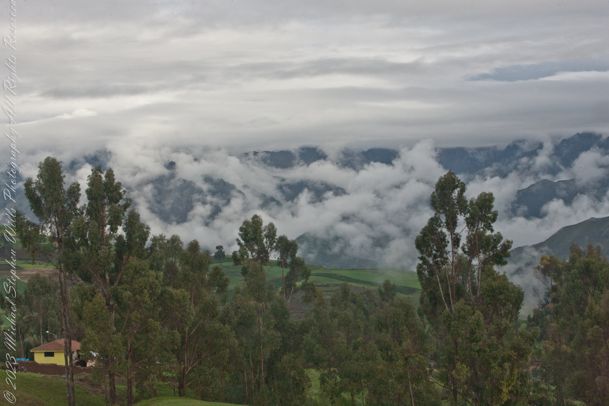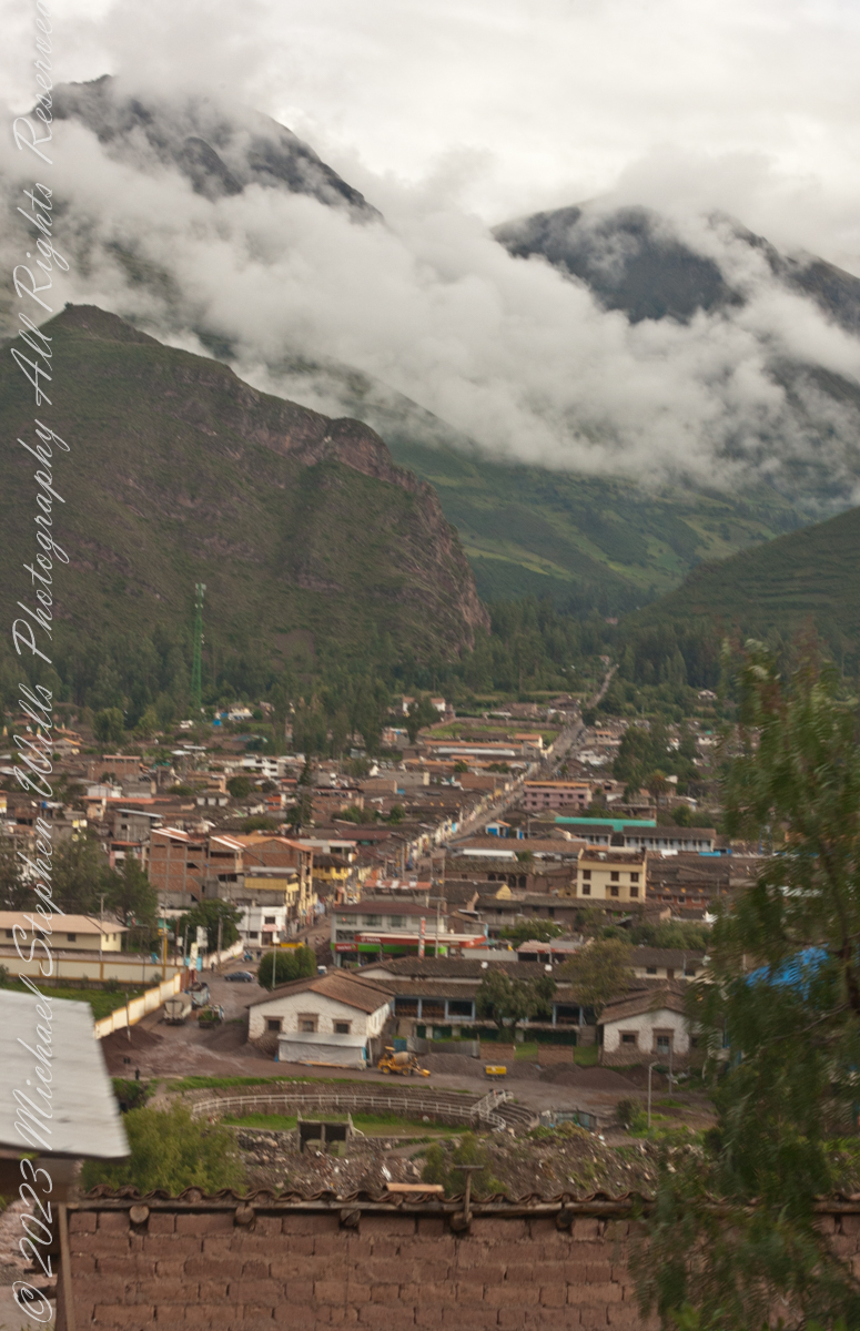
As we descend into Urubamba on Avenue Mariscal Castilla we are presented with this view of the road continuing straight through the city and deep into the valley in the slope of El Chicon peak where it ends beneath Andean glaciers.
Click Me for my Online Gallery
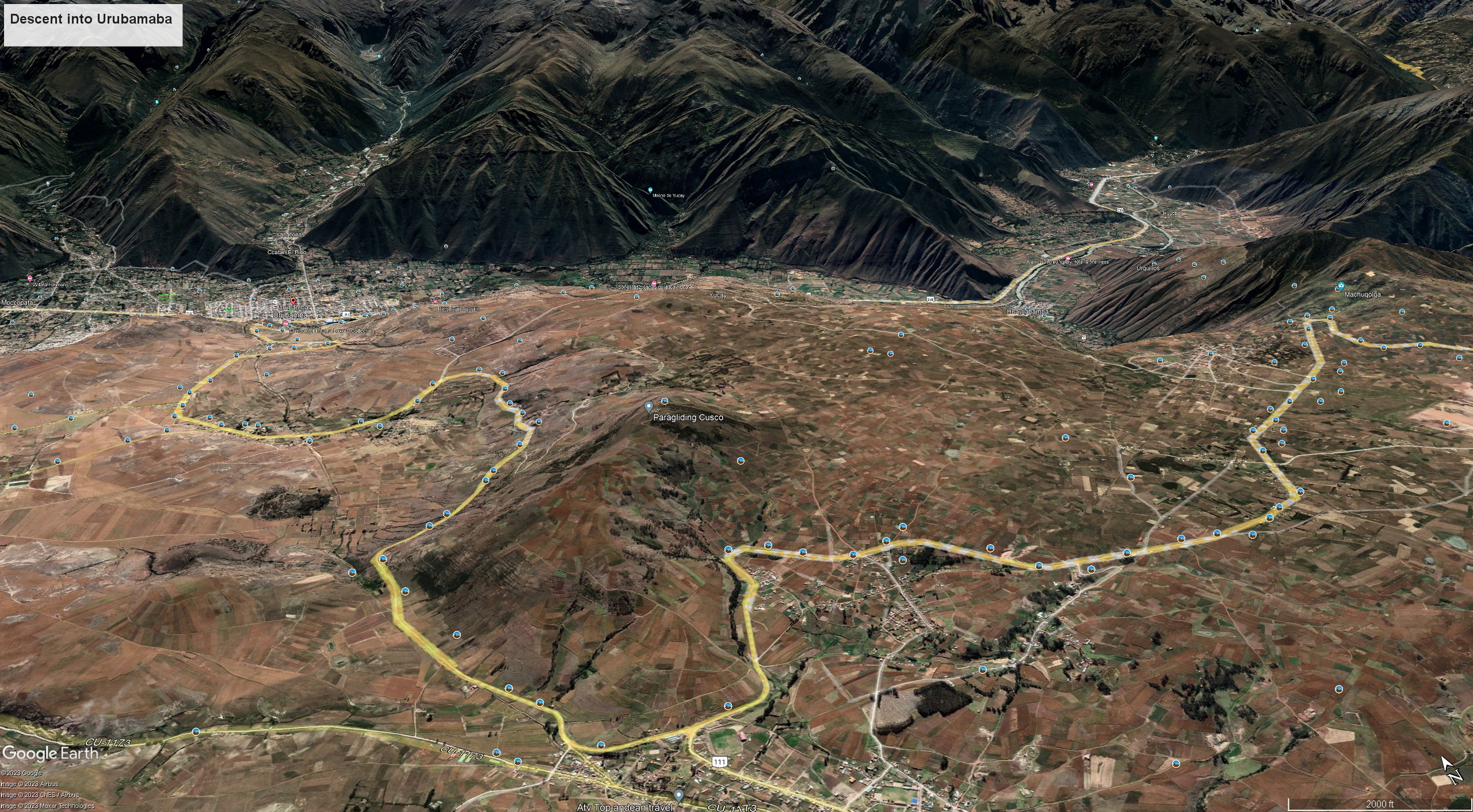
Here is a Google Earth view of Avenue Mariscal Castilla course into the Andean valley. Cusco Region, Urubamba Province, Urubamba District