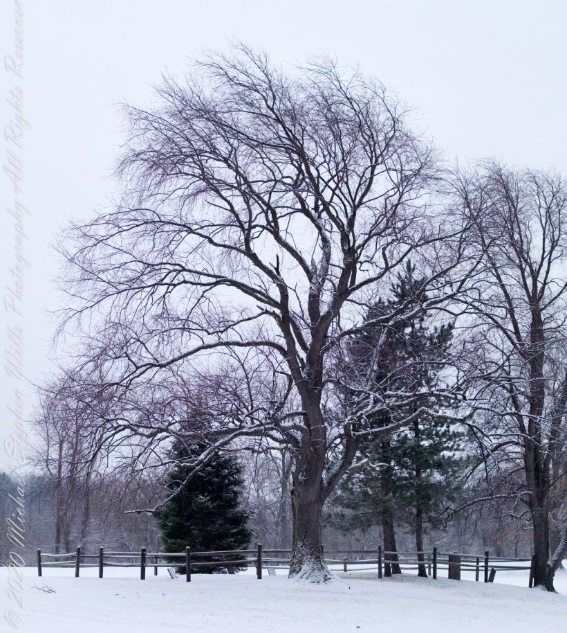
Late Winter, on the cusp of Spring, I arrived at the Cornell Experimental farm before sunrise.
There I set up a Kodak DSC Pro SLR/c with a Canon EF 50 mm f/1.4 USM lens all mounted on a very stable Manfrotto Studio Aluminum Tripod Model 475 and Hydrostatic Ball Head. From this 15 exposures were obtained. Photoshop CS6 HDR combined the 15 into this perfected image. Cornell Thompson Experimental Farm, Town of Dryden, Tompkins County, New York
Copyright 2023 All Rights Reserved Michael Stephen Wills
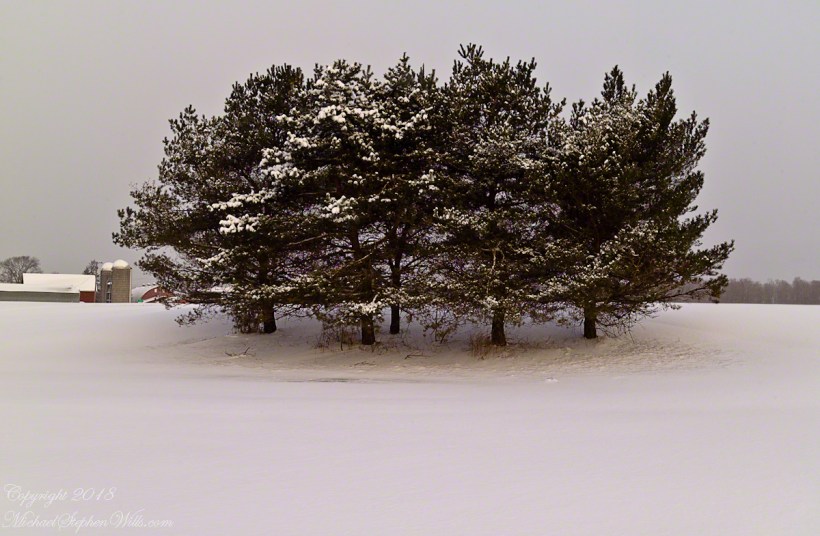
On a late winter morning on the cusp of Spring 2007 I ventured from my home on Fall Creek on a photo expedition.
Form here is revealed through the fine snowfall dusting the evergreen boughs of this stand of pines, not enough to stop the wind for which is tract of the Cornell Thompson Research Farm is known.
Copyright 2023 All Rights Reserved Michael Stephen Wills
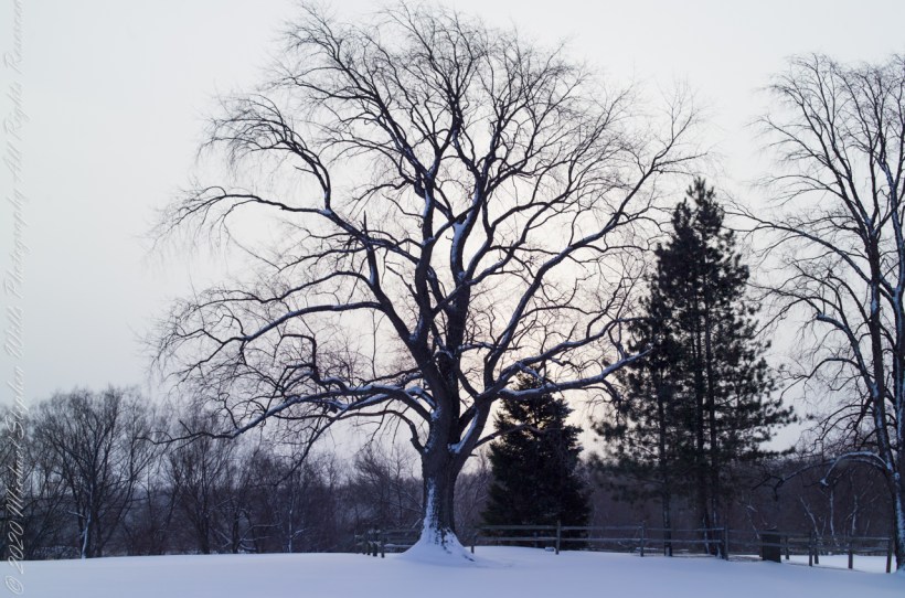
On the first day of 2006 I ventured from my home on Fall Creek on a photo expedition.
A finely shaped maple tree growing alone on a Cornell Experimental Farm field at the intersection of Fall Creek Road and Cady Lane, between Fall and Mud Creeks. Town of Dryden, Tompkins County, New York
Copyright 2023 All Rights Reserved Michael Stephen Wills
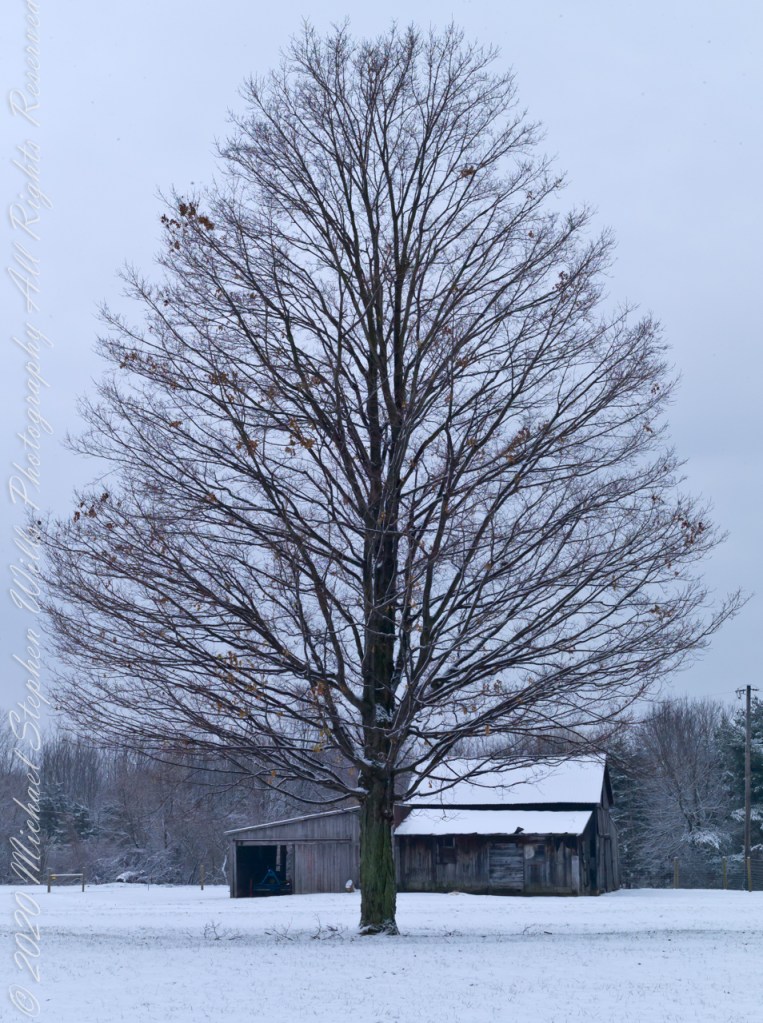
On the first day of 2006 I ventured from my home on Fall Creek on a photo expedition.
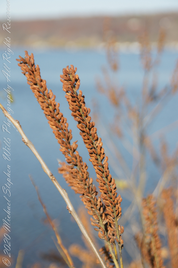
Each November, the eerie form of these limbs are revealed. I call the tree an “elm” though I am not certain. There are other lone survivor elms nearby, the leaves are right for an elm. Some elm species/specimens have the same shape.
Copyright 2023 All Rights Reserved Michael Stephen Wills
Winter 2020 I posted “Winter People Watching” featuring the Sony F828 and candid street photography.
What I love about this place, a unique feature, is the size and different vantage points making it possible to view the same place from different angles. November 2019, readers were shown “The Bend,” a place with Taughannock gorge makes a 90 degree turn, changing from a southeastern to an eastern flow. Here are photographs from spot overlooked by that post.
Here the camera faces away from the sun, the graduated neutral density filter allowing me to capture the cloudless blue sky, a little milky the way it is here February with a hint of spring.
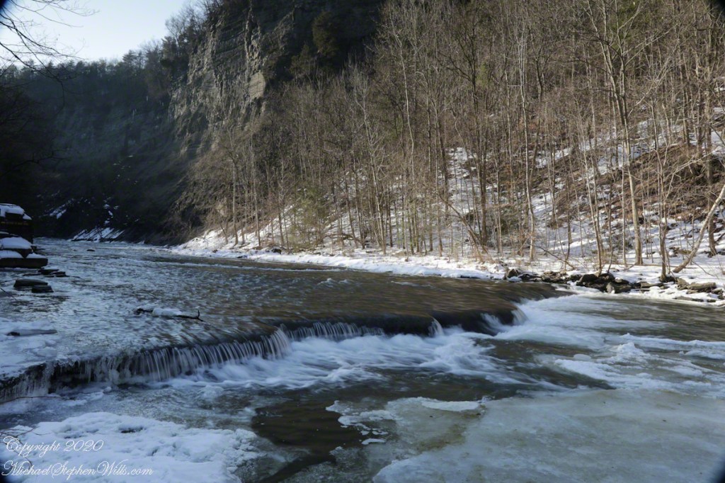
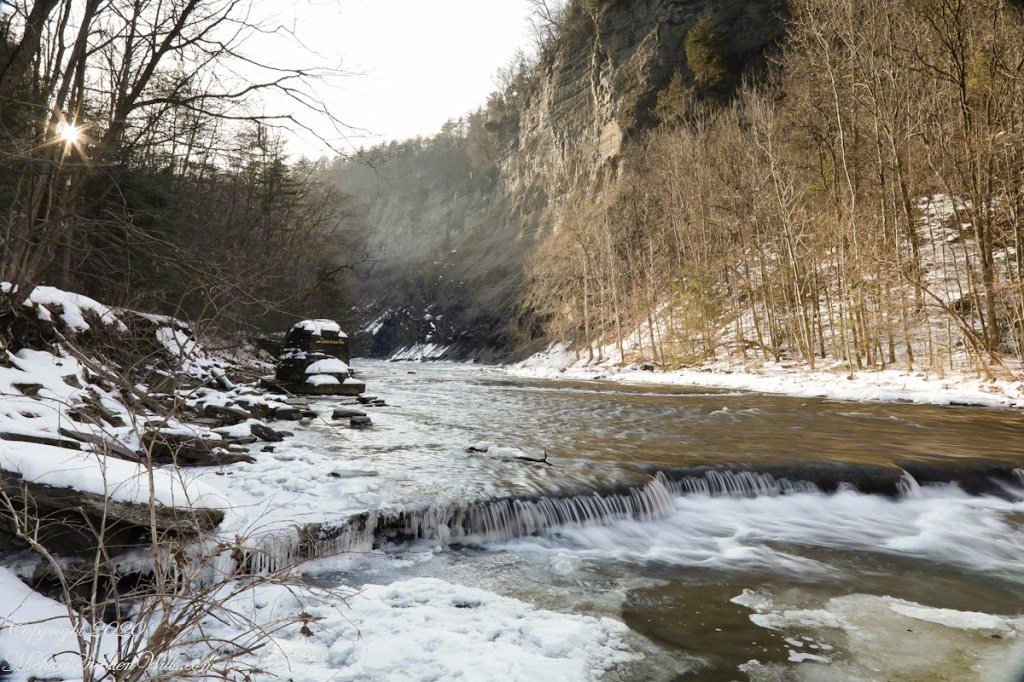
The gorge makes a 90 degree turn, changing from a southeastern to an eastern flow. Here is am in the creek bed facing east.
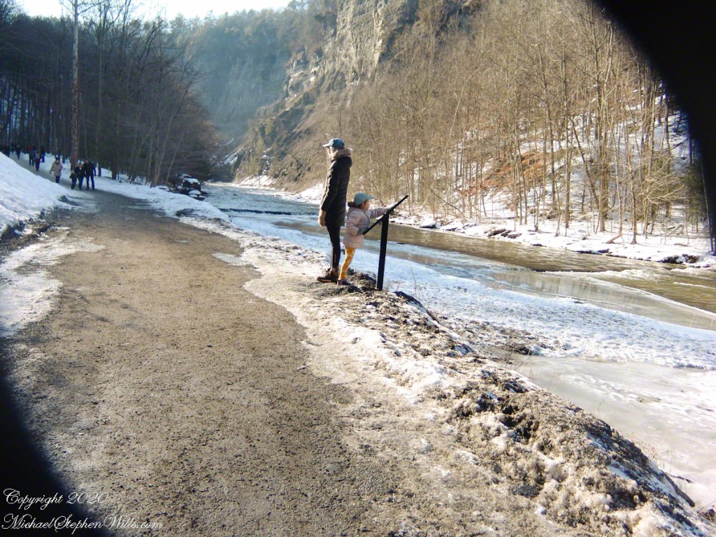
This little one is studying the information placard with rapt attention, learning how the African continent, pushing against North America, across the eaons, formed the right angle fractures mirrored by this dramatic change in Taughannock Gorge. For the Big Bend photographs I was standing behind them, along the stream bed.
Here is a broader slice of that sky.
The gorge makes a 90 degree turn, changing from a southeastern to an eastern flow. Here is am in the creek bed facing east.
Can you see the tiny figures of hikers, dwarfed by the frozen cliff?
The gorge makes a 90 degree turn, changing from a southeastern to an eastern flow. Here is am in the creek bed facing east.
Copyright 2023 All Rights Reserved Michael Stephen Wills
Purling of the water beneath this foot high waterfall was enhanced by reducing ISO to 100, tamping down the aperture to f/22 resulting in an shutter speed of 1/10th second. I set the graduated Neutral Density filter to shade the left side.
On the cliffs ahead is where the observation platform is cut into the rock. It has a great view of the waterfall, in some ways the experience of the falls is enhanced, compared to hiking the 3/4 mile path and standing below.
The Gorge Walls, hundreds of feet above the creek are very dangerous to stand below.
A marvelous forest grows on talus from the high gorge walls.
A sign on a disused pier warns waders to leave the creek bed. Ahead the gorge walls tower above the creek. Rocks dislodge and crash down unexpectedly, crushing foolish waders. It is appalling to see, in warmer months, people walking below those cliffs gathering the fallen rocks to make delicately balanced cairns.
Copyright 2023 All Rights Reserved Michael Stephen Wills
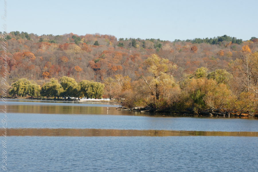
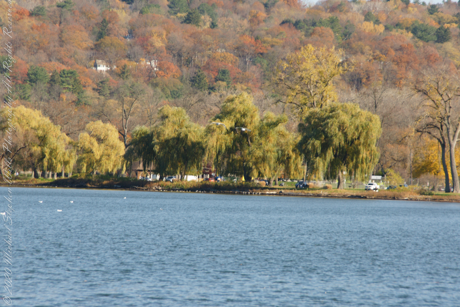
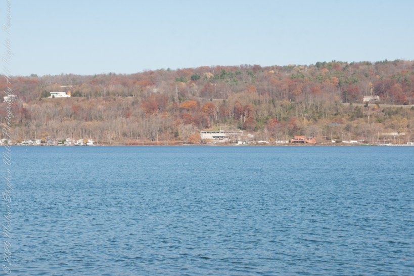
Here is the south end of Cayuga Lake on a bright November afternoon. Stewart Park is enjoyed by Ithacans year round.
Everyone is a fan of the Willows framing the lake views.
Can’t get enough of Stewart Park..
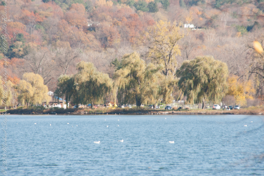
An unzoomed view, to give an idea of the distance across the water.
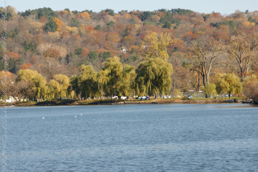
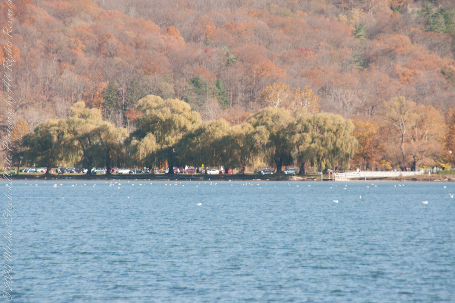
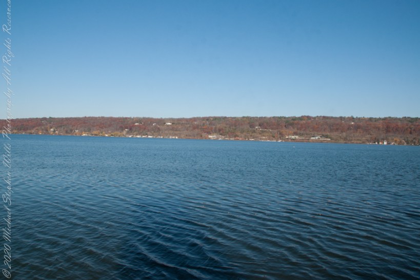
Pam and I have great memories of sailing this stretch from our years of membership in Cornell Family Sailing.
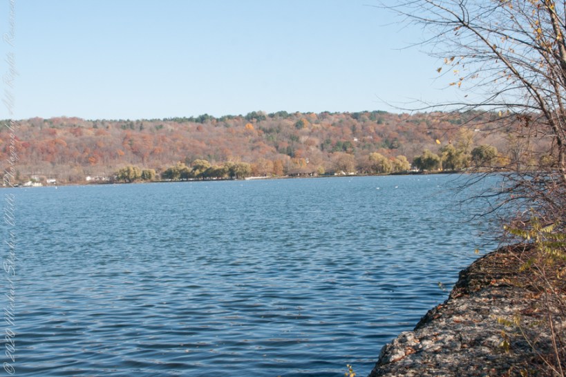
The east lake shore.
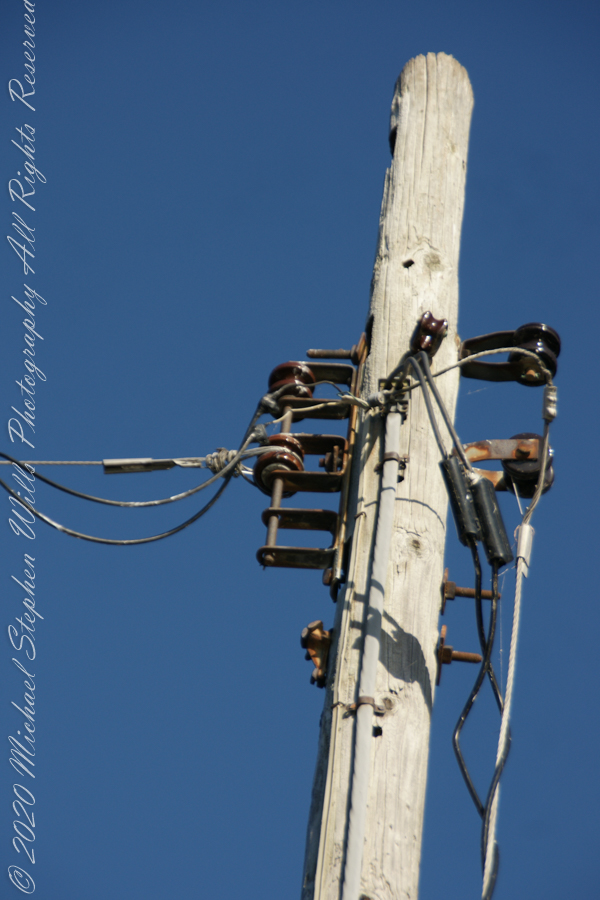
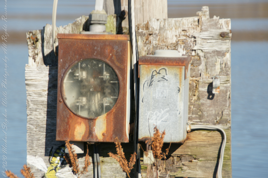
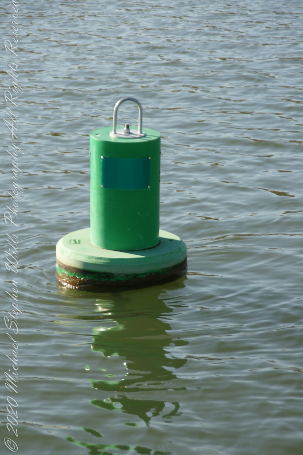
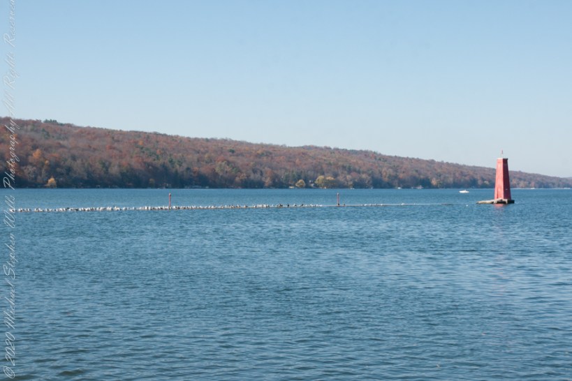
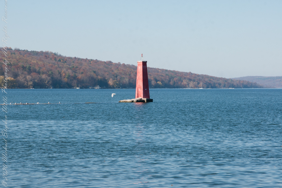
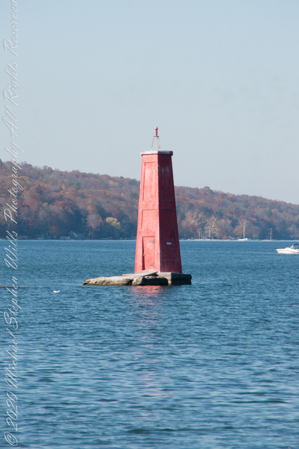
The West Lake Shore. This photograph captures the electric line that powers the Red Tower light. Seagulls enjoy that causeway…I’ve never seen humans walk it.
Copyright 2022 Michael Stephen Wills All Rights Reserved
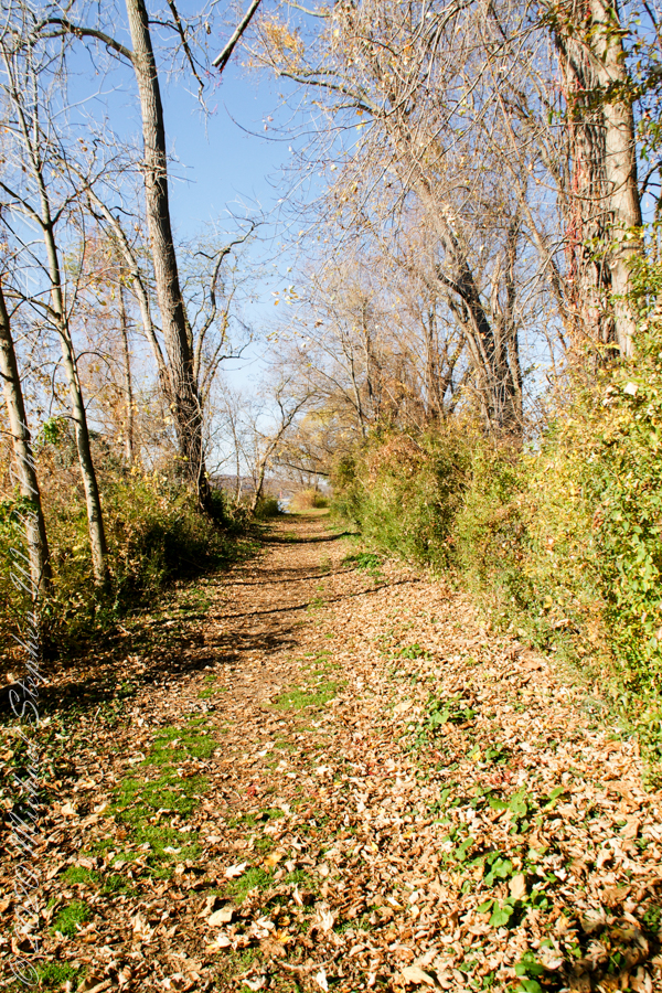
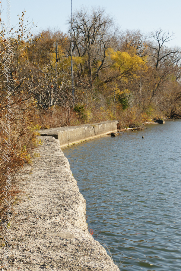
Post 1 of Lighthouse Point provided an impression of our hike along the golf course, from there we turned onto this wooded path on the shores of Cayuga Inlet.
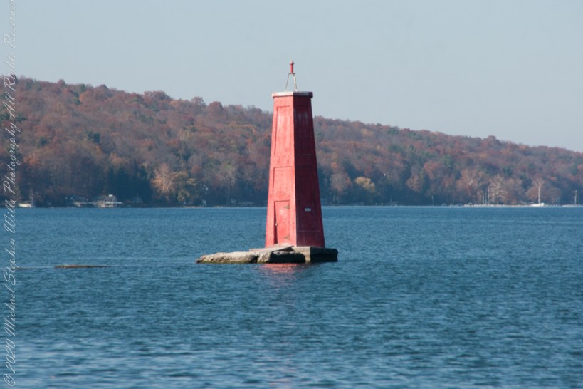
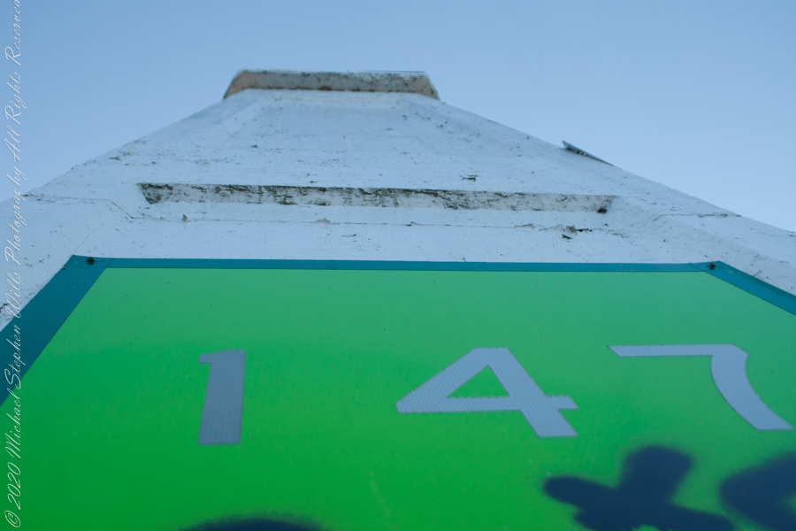
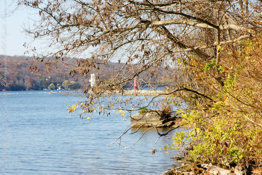
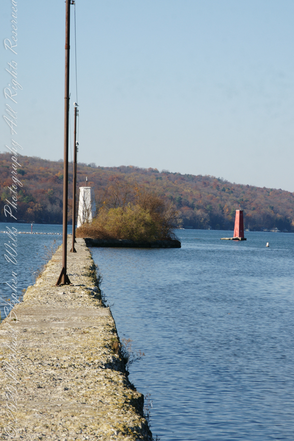
First view of the paired Lighthouses marking the Cayuga Inlet. The white tower is connected to shore by a causeway something less than a quarter mile in length. The red tower marks the other side. These navigation guides allow boats to safely enter the channel exiting the south end of Cayuga Lake. The Erie Canal connects to the north end, allowing access to the Great Lakes and, eventually, the Atlantic Ocean.
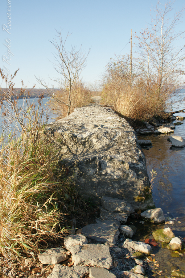
The 4-foot-high step up to the concrete causeway path is an insurmountable obstacle to some. I managed to clamber over.
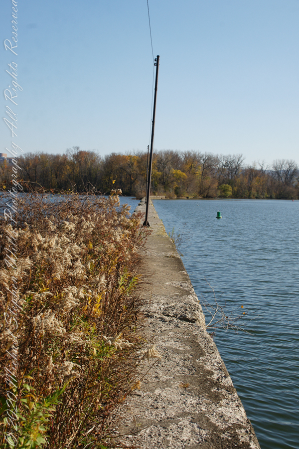
Looking back to shore….
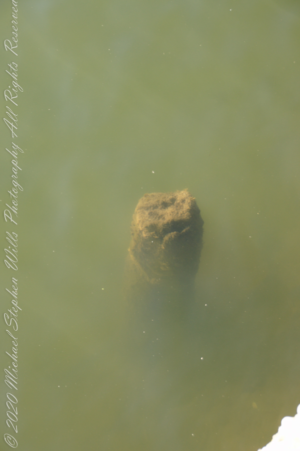
Rusted iron poles support the electric line for the white tower. They remind me of ship masts.
The straight shot back to shore.
Copyright 2022 Michael Stephen Wills All Rights Reserved