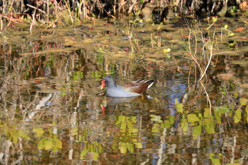
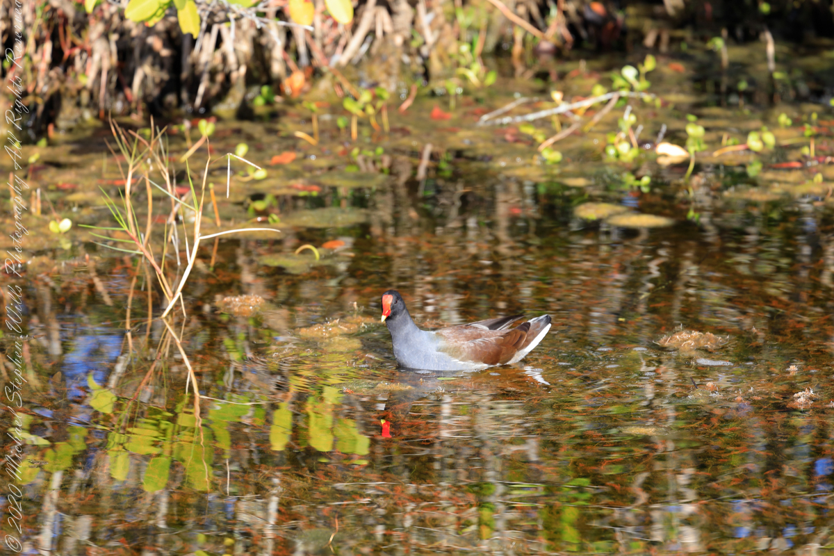
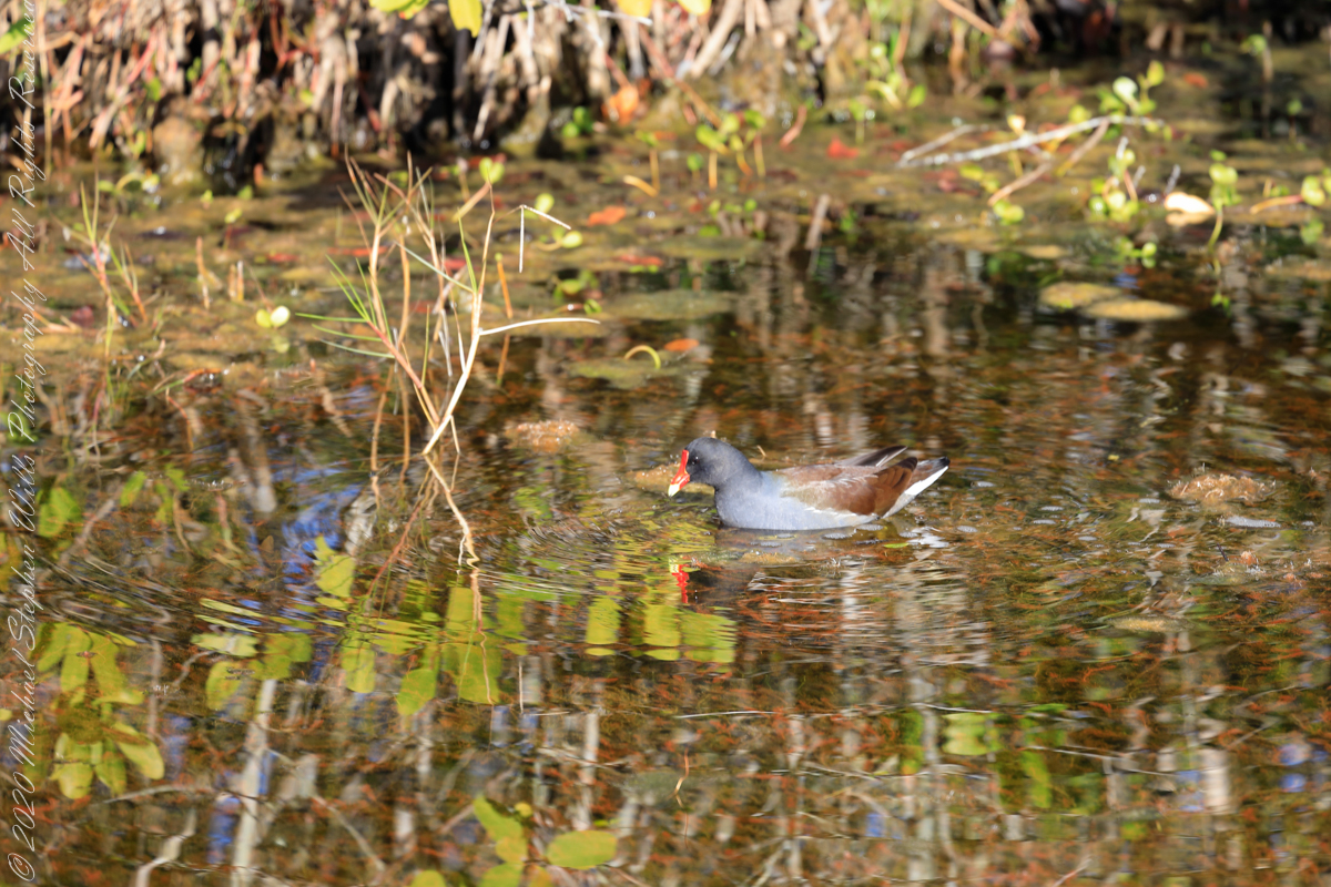
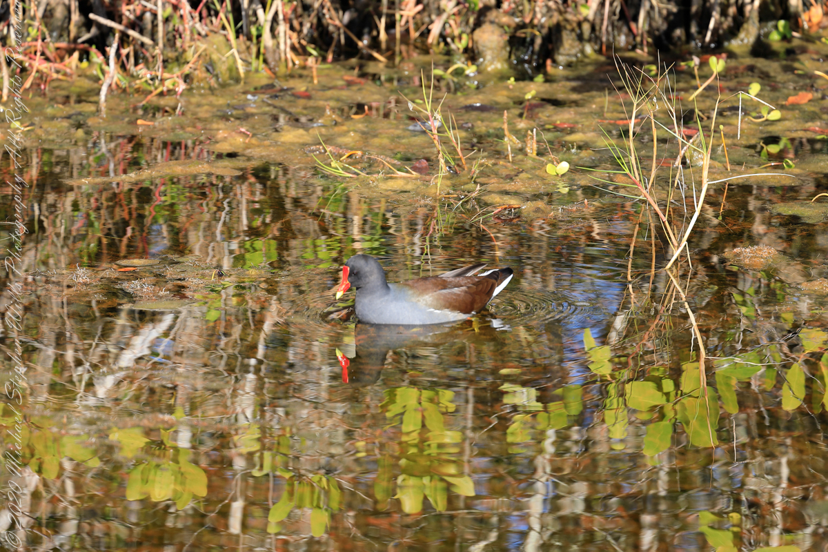
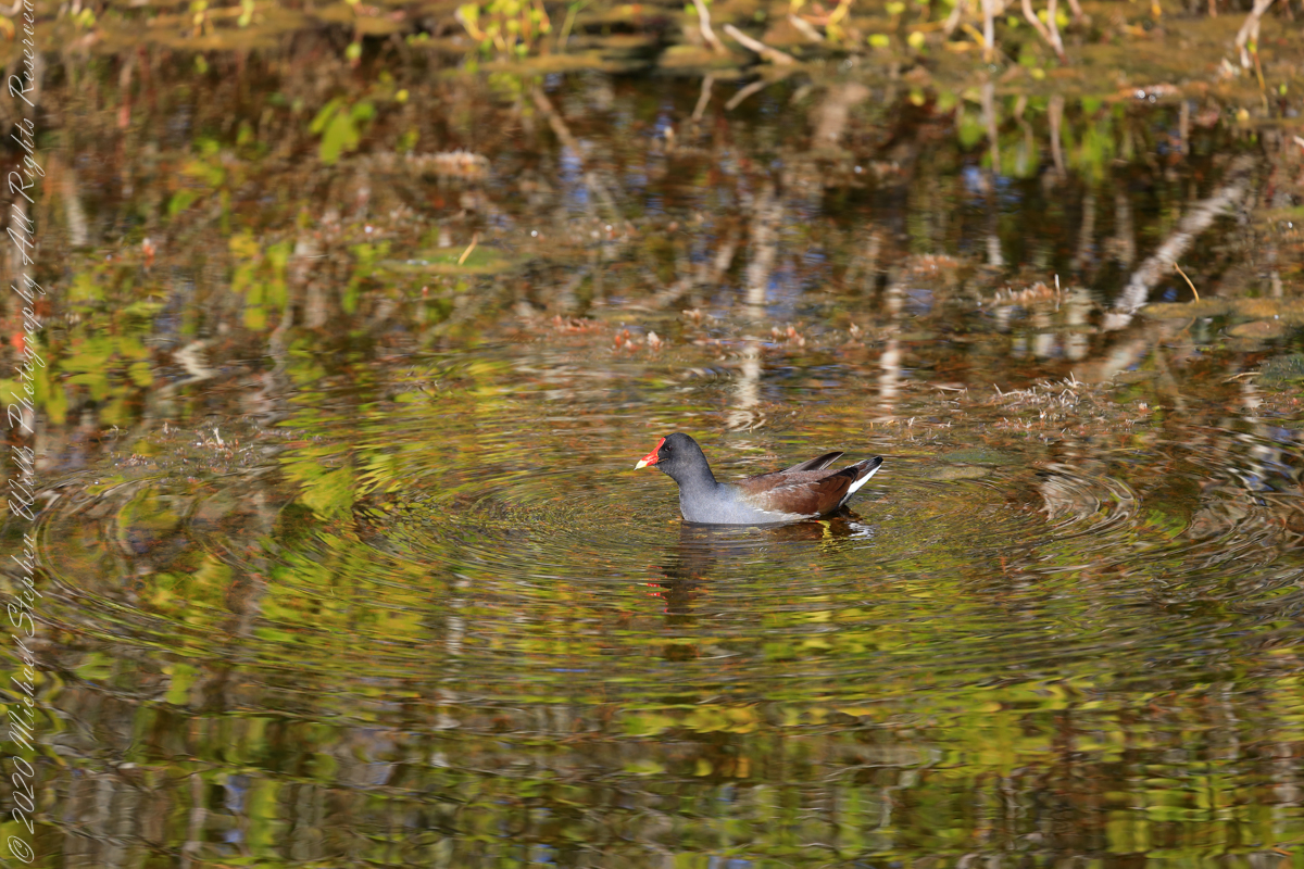
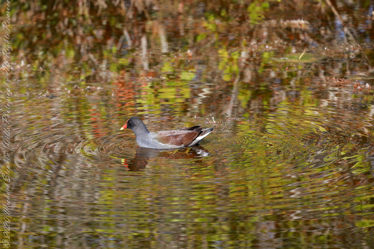
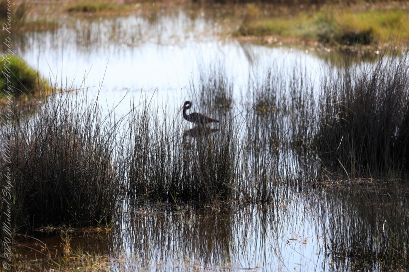
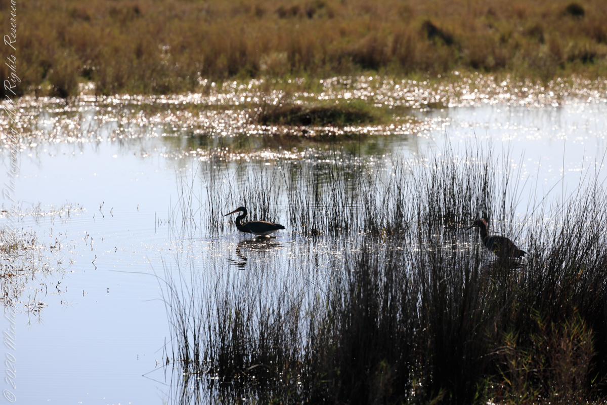
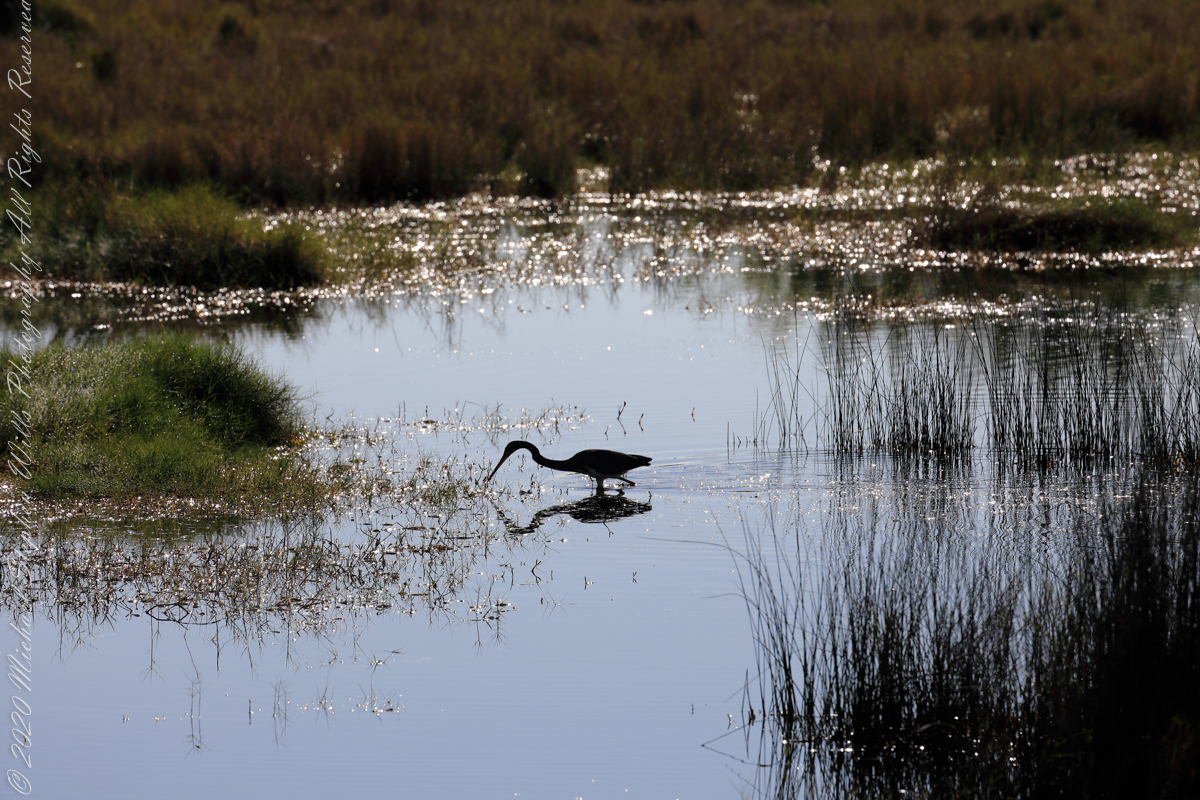
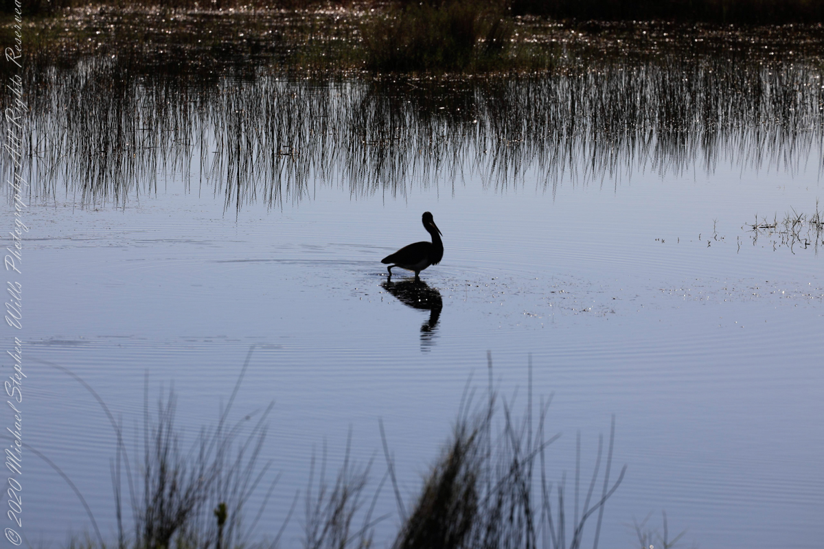
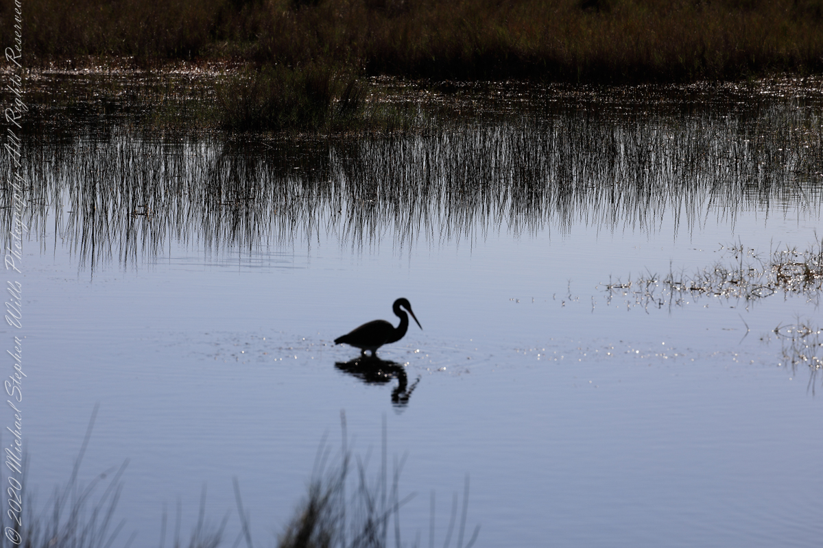
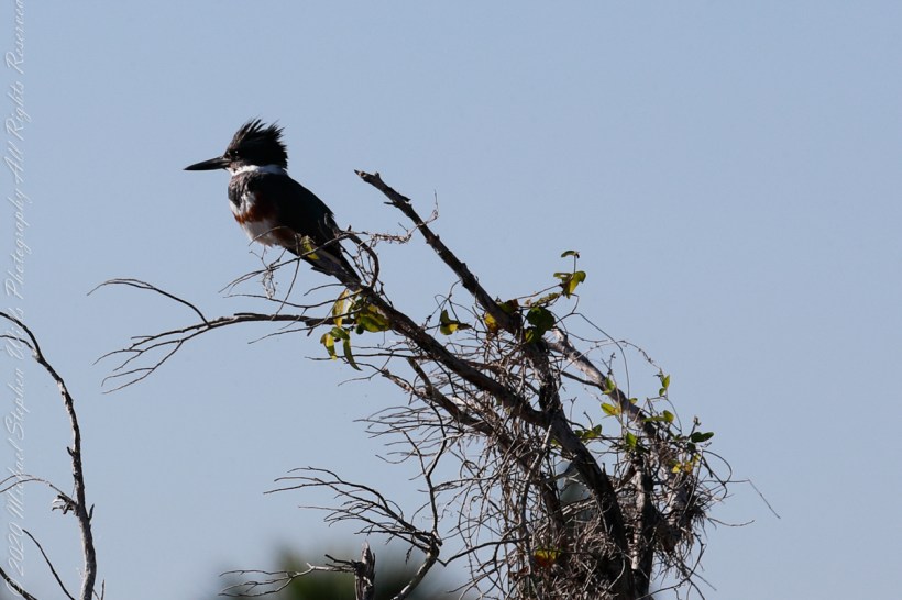
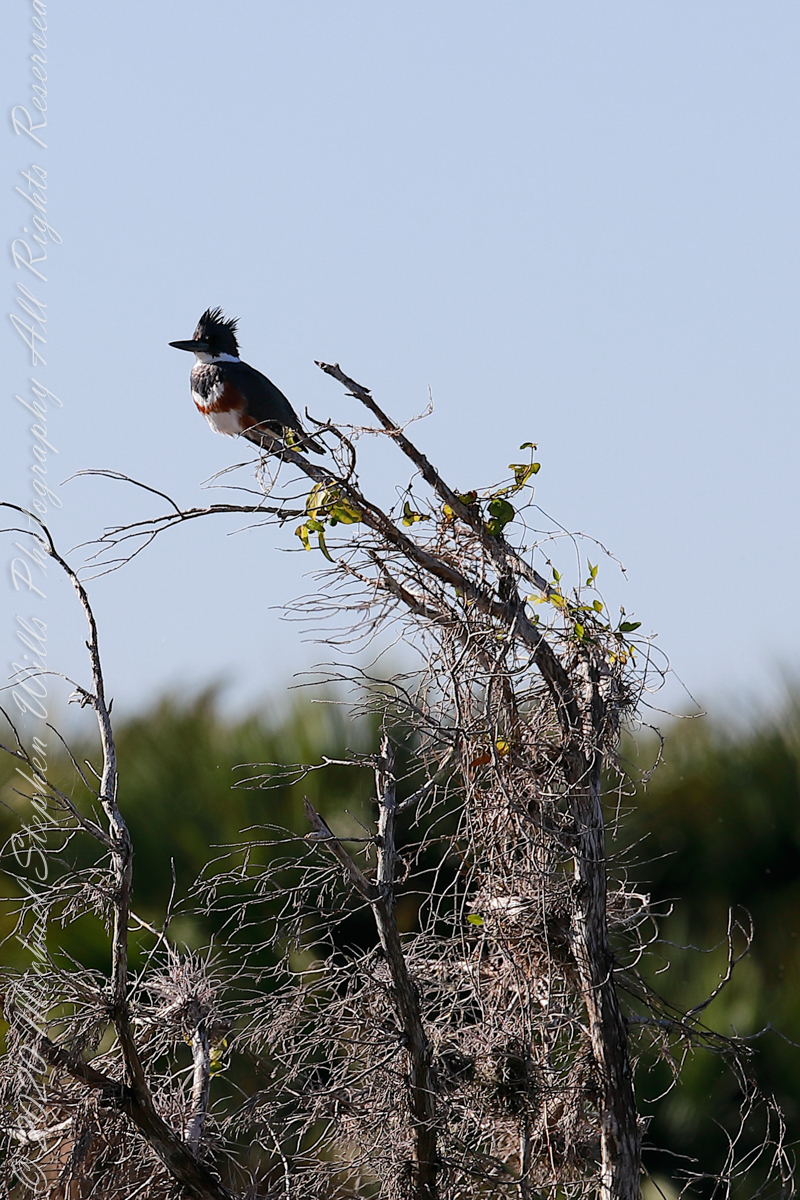
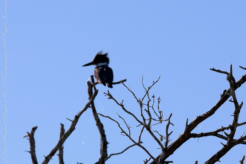
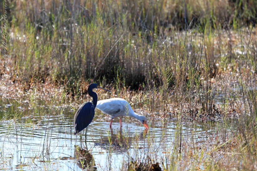
This series of wading shorebirds are from a mash alongside Blackpoint Wildlife Drive.
“The exposed mudflats on tidal wetlands attract a variety of shorebirds. Shorebirds are seasonal residents that make long migratory journeys between their breeding grounds in the Artic and their wintering area in South America. Merritt Island National Wildlife Refuge provides an important resting and feeding area for this group of birds. Some stay for the winter, others use the refuge as a fuel stop before continuing on their journey.”
“In tidal areas, shorebird feeding schedules are influenced by the cycle of tides. Changes in tidal cycles expose foraging areas in mudflats for a period during the day. At other points during the cycle, the water in these same areas becomes too deep or the ground too dry for shorebirds to feed effectively.”
The text in quotes is from a roadside information placard, Merritt Island National Wildlife Refuge, Titusville, Brevard County, Florida