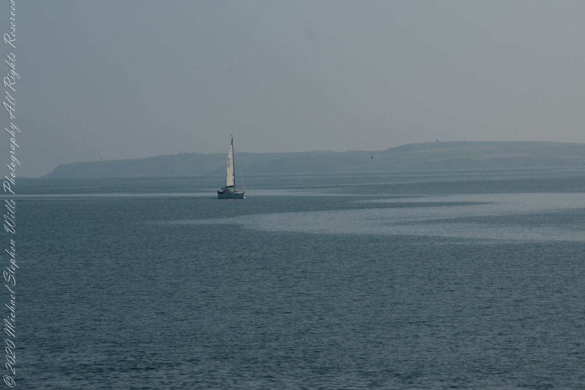
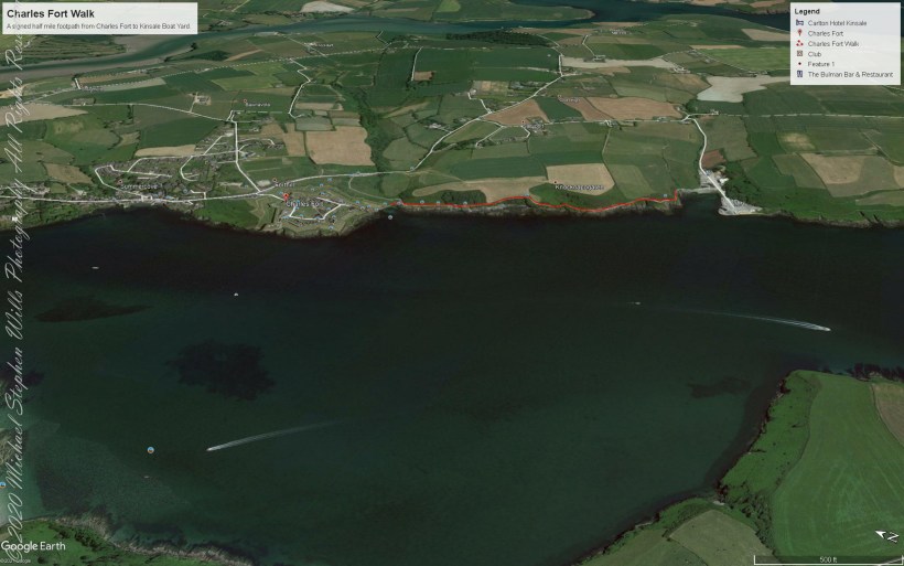
As Pam and I continued down the half mile “Sallyport” footpath, marked in red on the Google Earth view provided at the end of this post, we enjoyed the view across the Celtic Sea toward the distant Old Head of Kinsale and this sailboat headed to port.
Click any pic for a larger view, in a new tab, or a slide show. When using WordPress Reader, you need to open the post first.
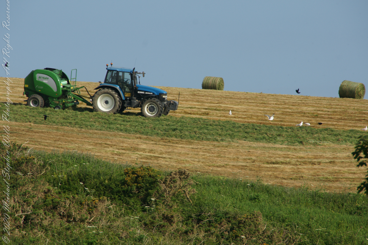
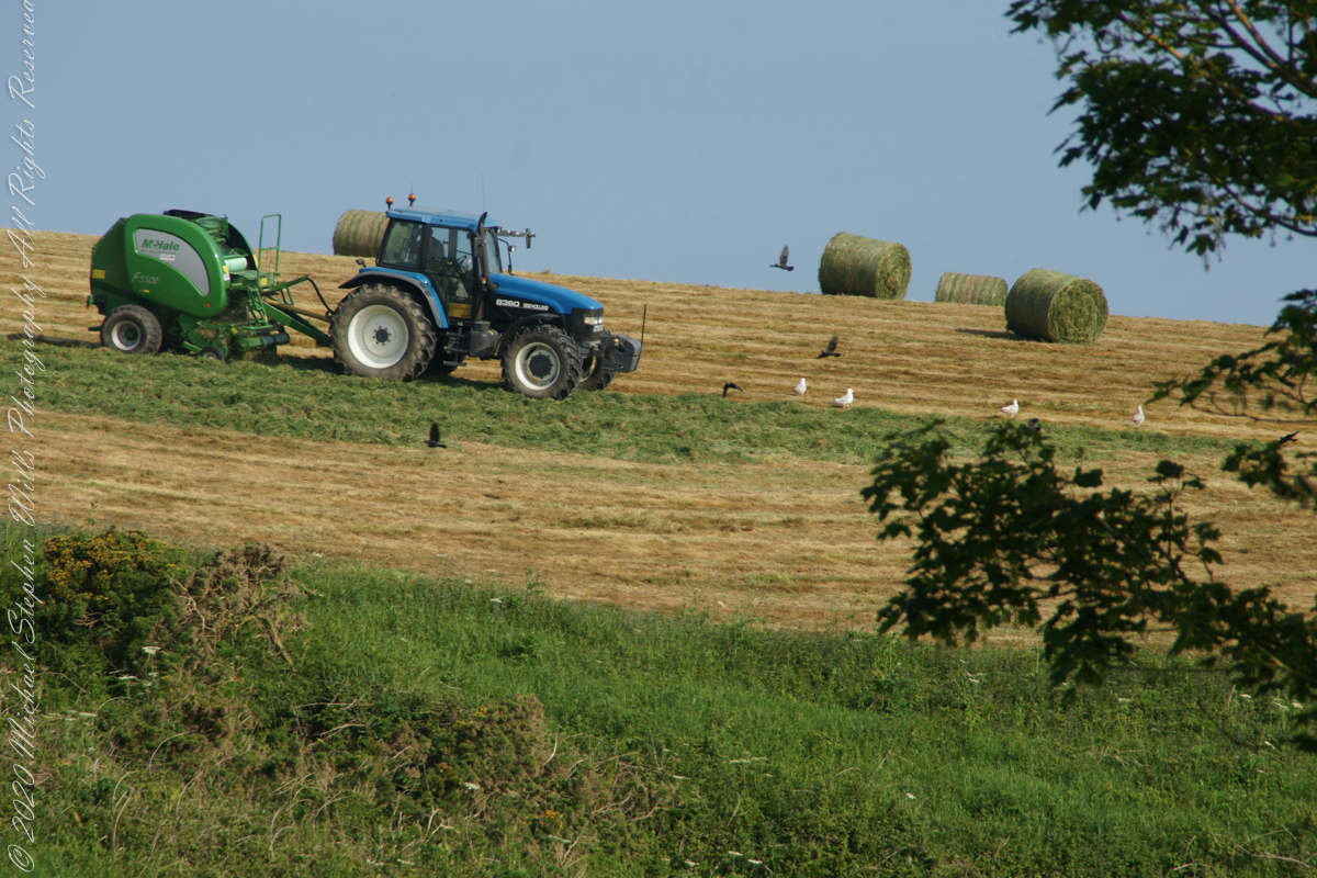
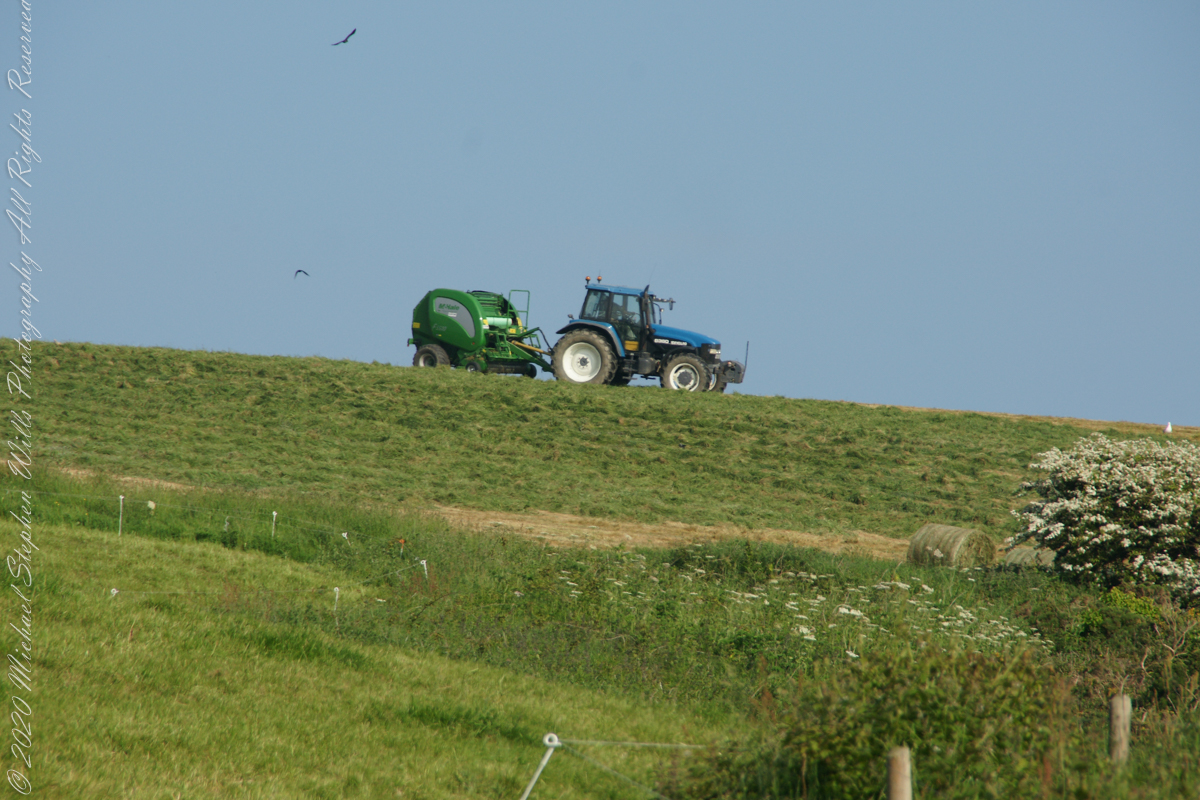
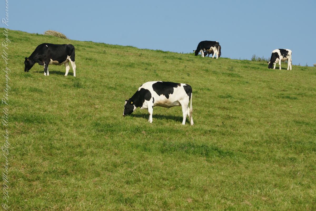
Landward, we enjoyed watching the progress of a farmer rolling hay bales while cows munched fresh green grass.
A half mile footpath, marked in red, leads from Charles fort along the shoreline cliffs, surmounted by working farmland.
Copyright 2021 Michael Stephen Wills All Rights Reserved
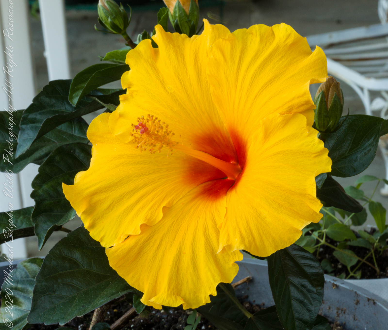
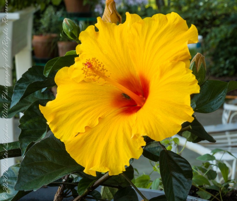
This is a perennial, commonly known simply as “hibiscus”, or less widely known as rose mallow. Other names include hardy hibiscus, rose of sharon, and tropical hibiscus.
The hibiscus flower is traditionally worn by Tahitian and Hawaiian girls. If the flower is worn behind the left ear, the woman is married or has a boyfriend. If the flower is worn on the right, she is single or openly available for a relationship.
Click photograph for larger view in new tab. From WordPress Reader you need to open the post to use this feature.
ISO 800, 1//8 sec at f / 32
Here are the three photographs of this bloom, all from the Canon 100 “macro” lens. Two with “sweat bees” and one without.
ISO 800, 1//8 sec at f / 32
ISO 800, 1//8 sec at f / 32
ISO 800, 1//8 sec at f / 32
References
Wikipedia – “hibiscus.”
Copyright 2021 Michael Stephen Wills All Rights Reserved
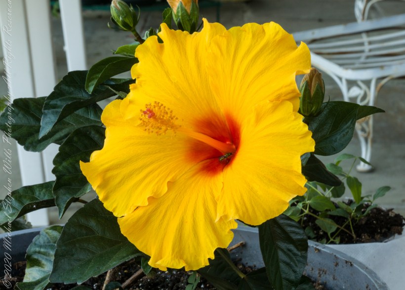
Yellow hibiscus, the state flower of Hawaii was recorded in ancient Greece. In the photograph is captured several unopened buds, behind the flower, and a bee in the flower throat, attracted by nectar there. It is a small bee, of the Halictidae family, that lives alone in a ground nest and also called a “sweat bee,” from being attracted to perspiration.
Click photograph for larger view in new tab. From WordPress Reader you need to open the post to use this feature.
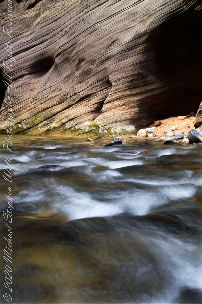
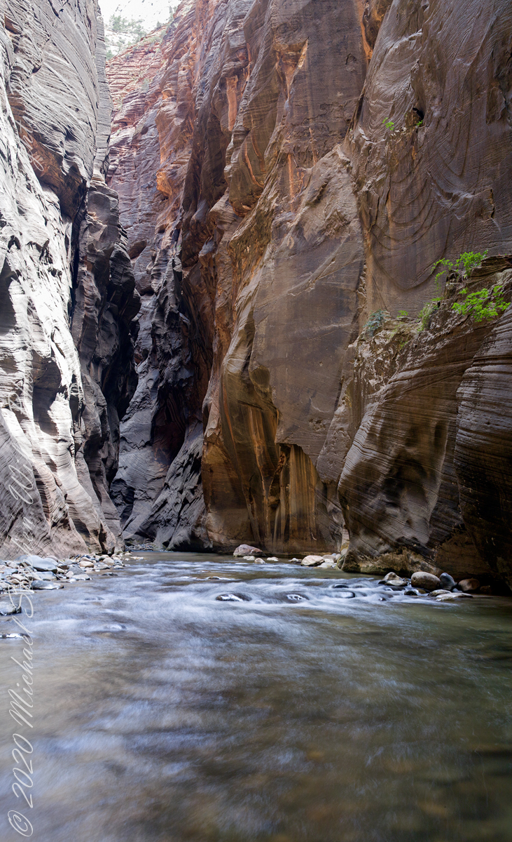
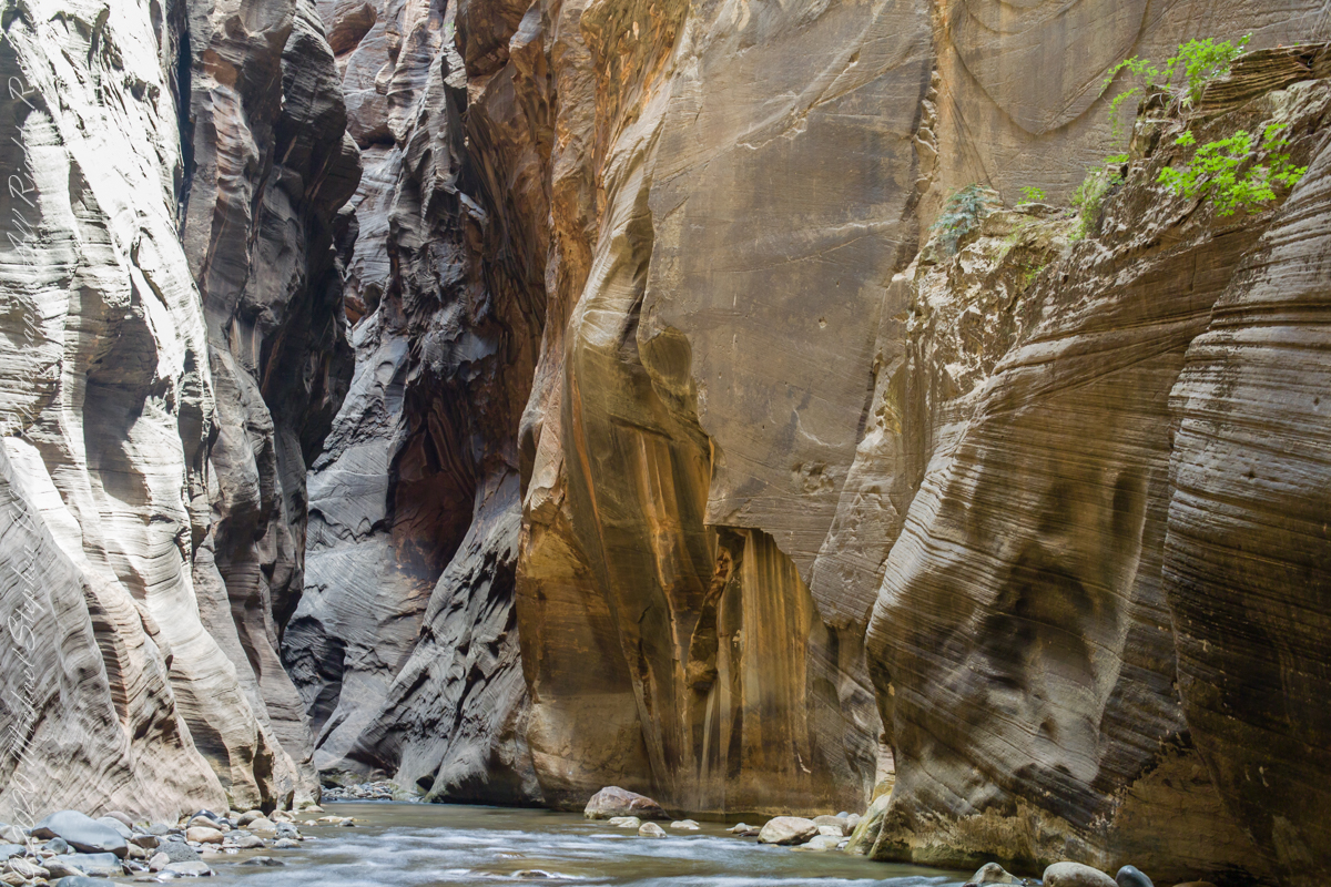
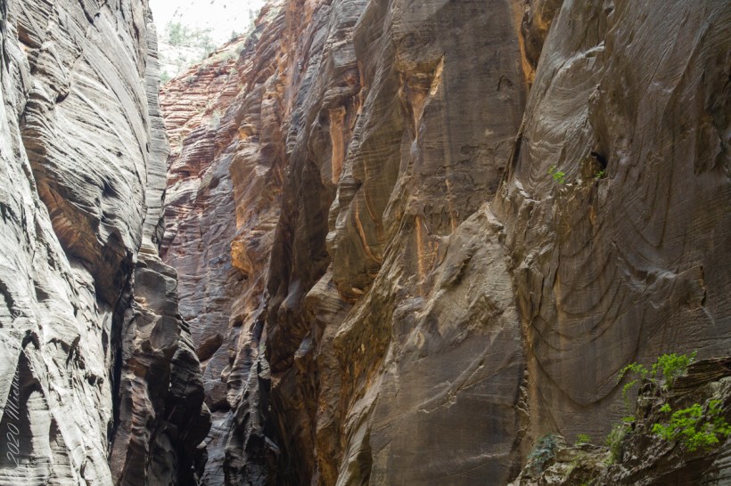
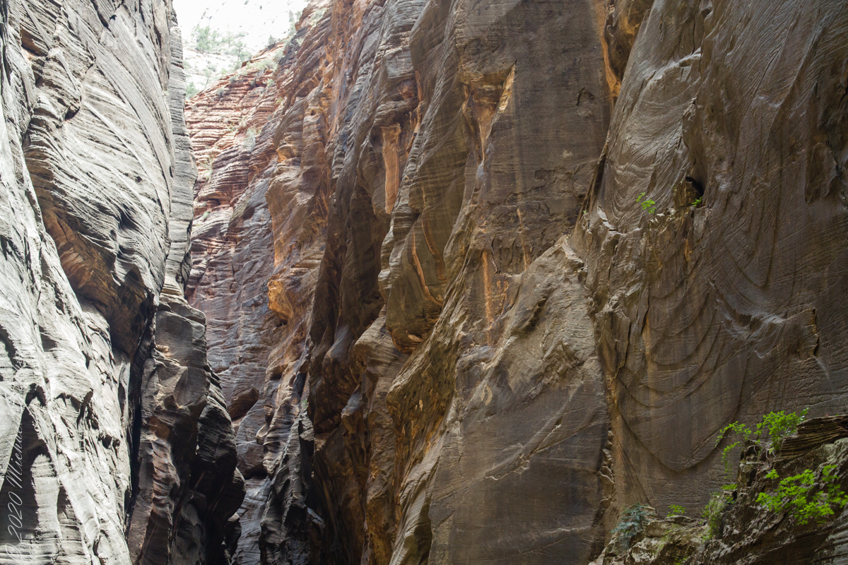
The pronounced cross-bedding (diagonal layering) of this Navajo Sandstone wall exposed by Virgin river erosion is the effect of wind drifting sands of the largest known sand desert formed in the Jurassic era lasting for 56 million years (185 million years ago). This photograph contrasts the ever new Virgin River with this ancient rock, deepening shadows suggest the depth of time.
Copyright 2021 Michael Stephen Wills All Rights Reserved
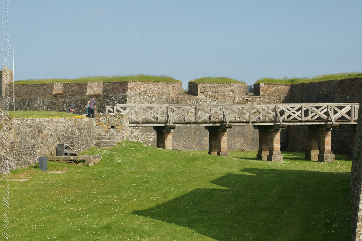
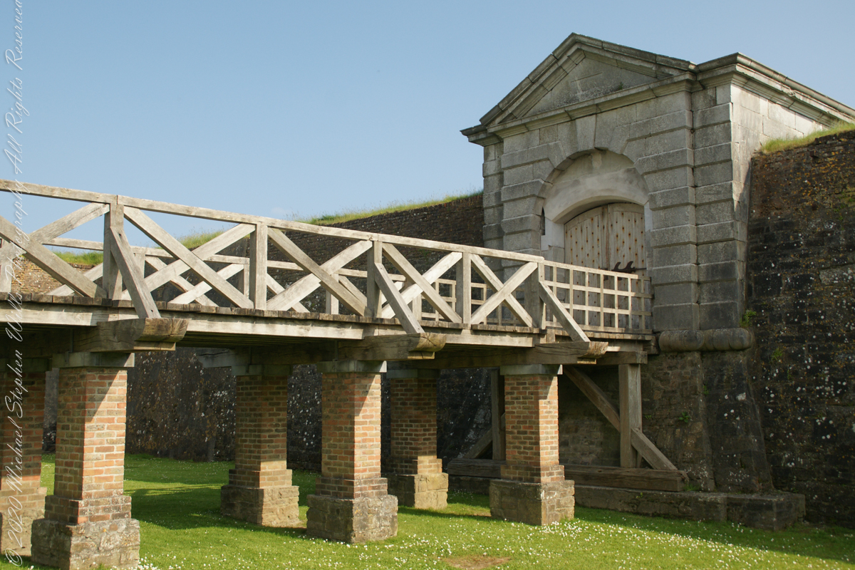
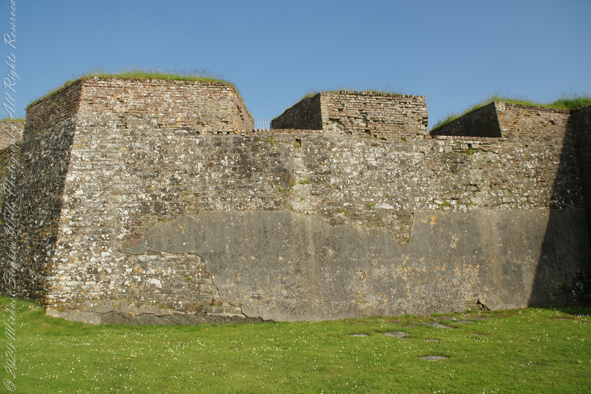
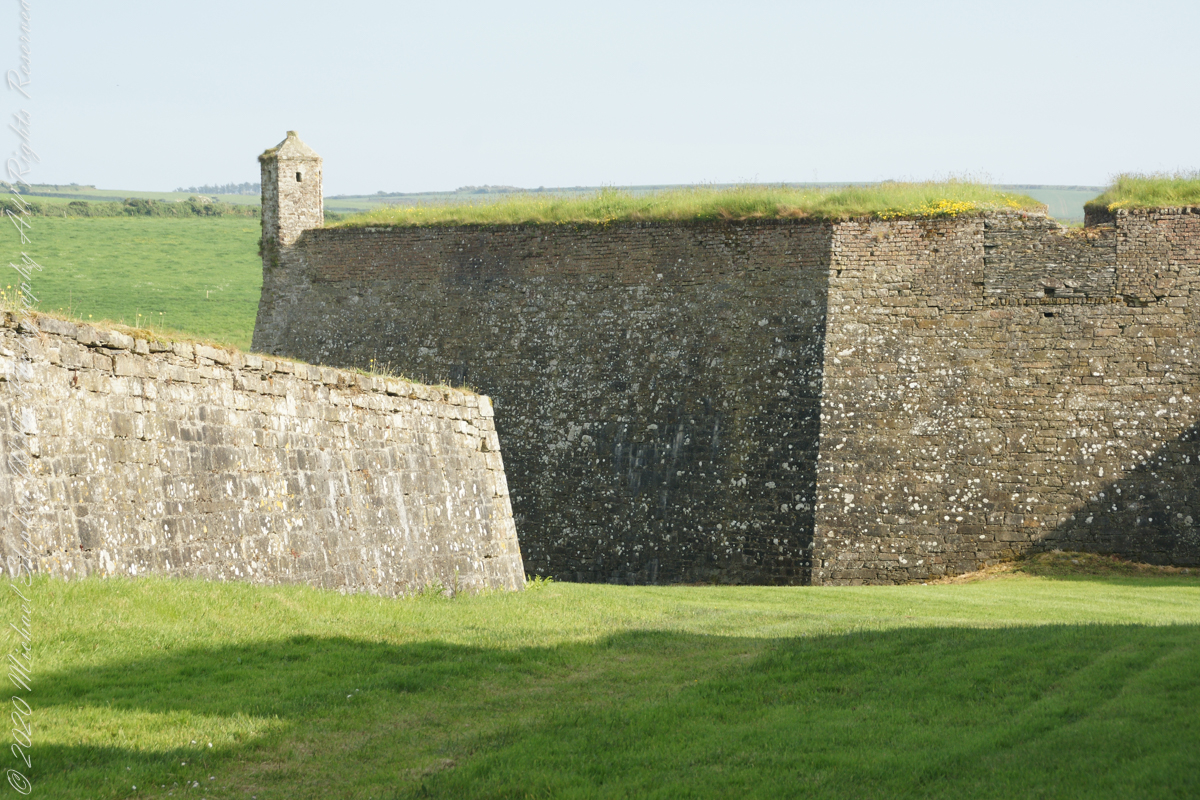
A “dun” is a larger fortification, few and far between on the island of Ireland. We saw one on the Arran Islands, from the Iron Age, Dun Angus, Charles Fort, or Dún Chathail in Irish, is from historical ages.
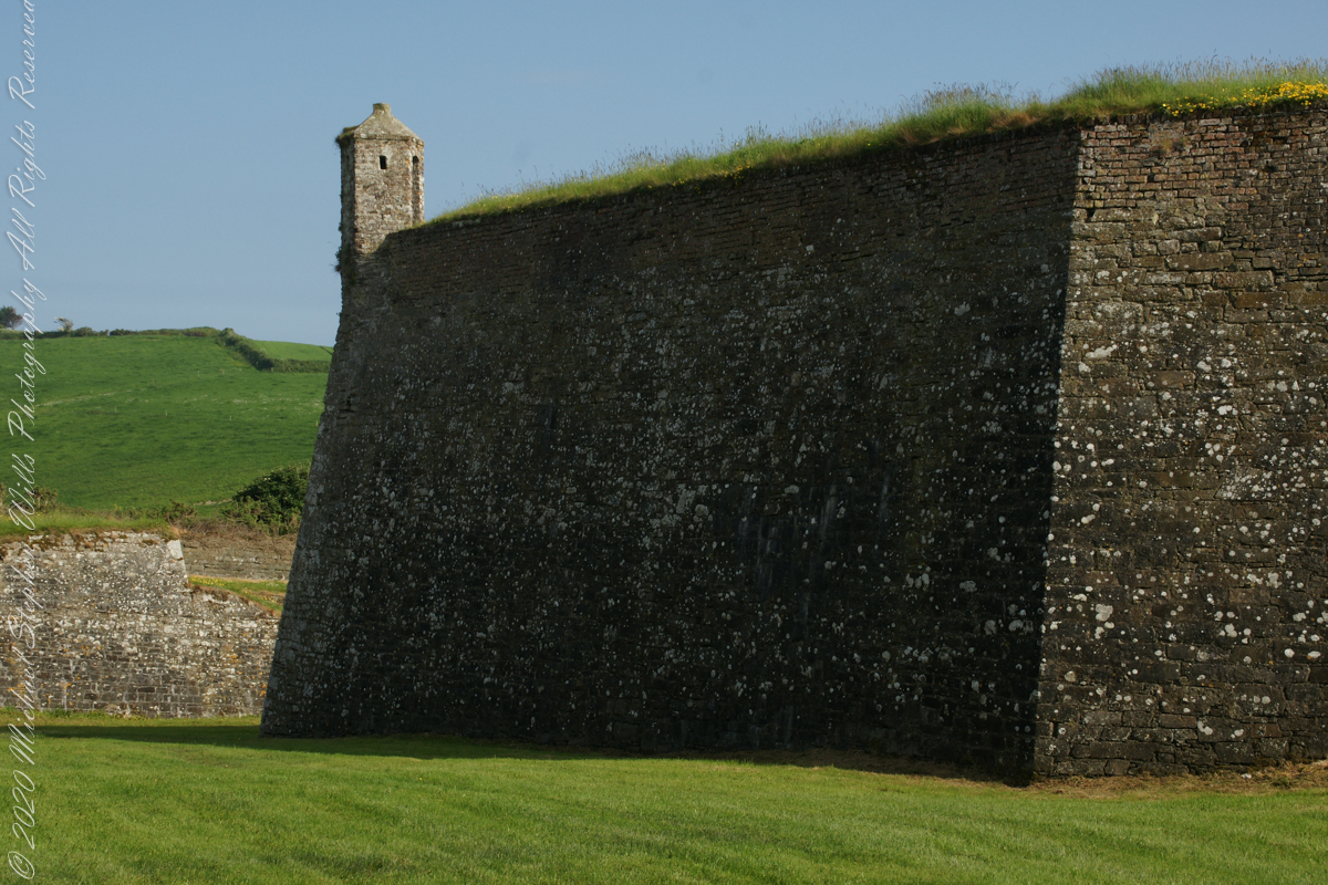
A cannot tell from my slide show, but the walls are star shaped with many salients, giving more positions to defend the walls.
Steps to bridge across defensive ditch
Bridge and gate to fort enclosure, closed this late in day
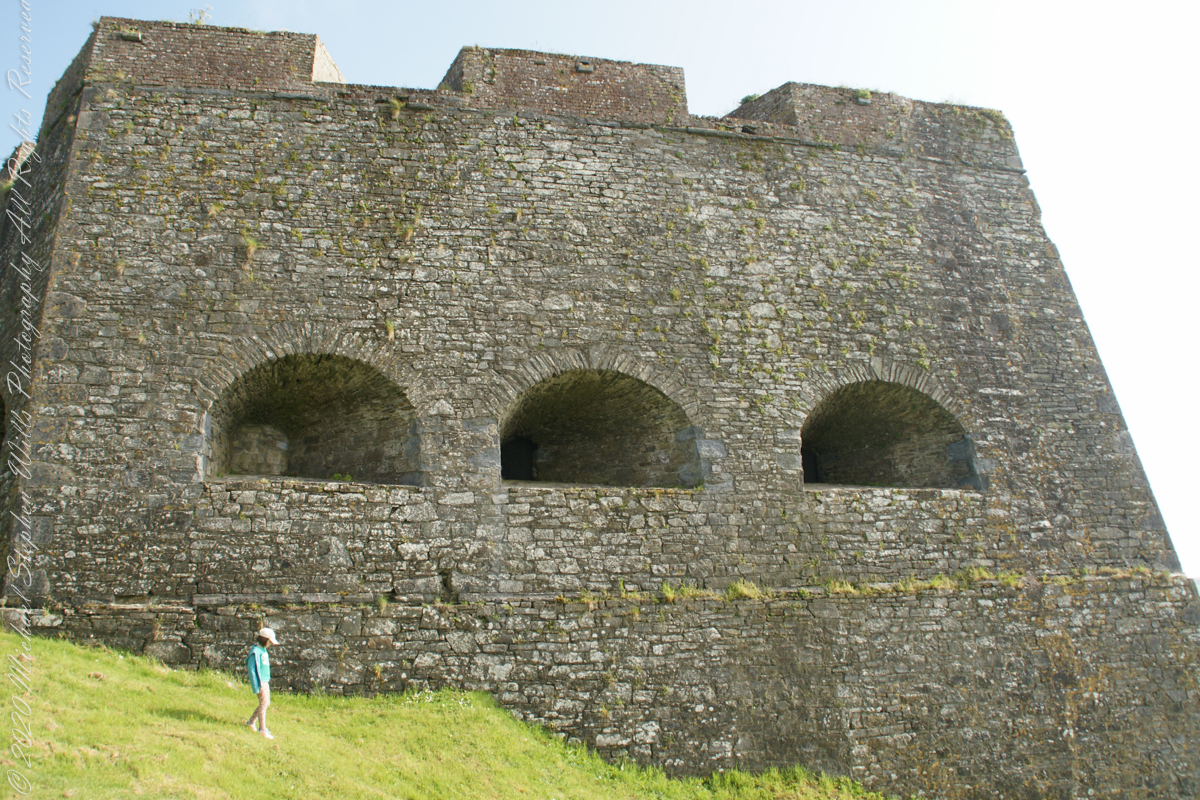
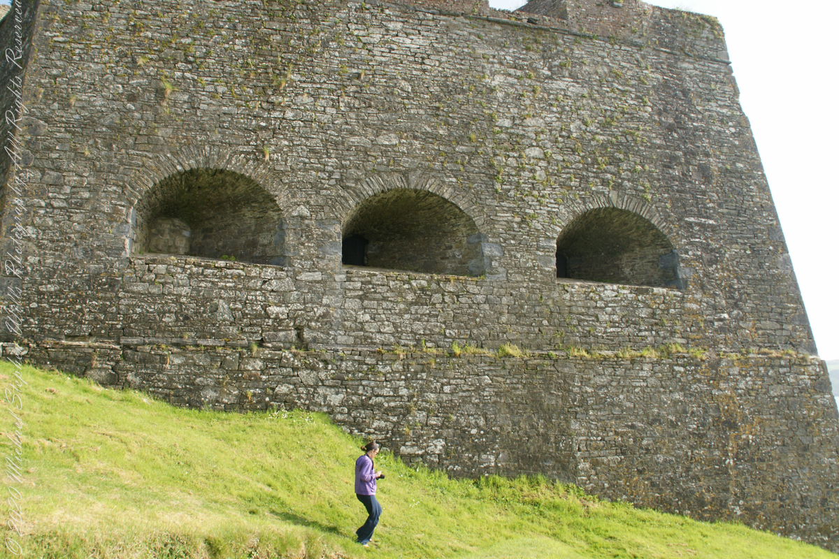
Embrasures
An opening in the fort walls which cannons can be fired. They were often flared outward to enlarge the field of fire.
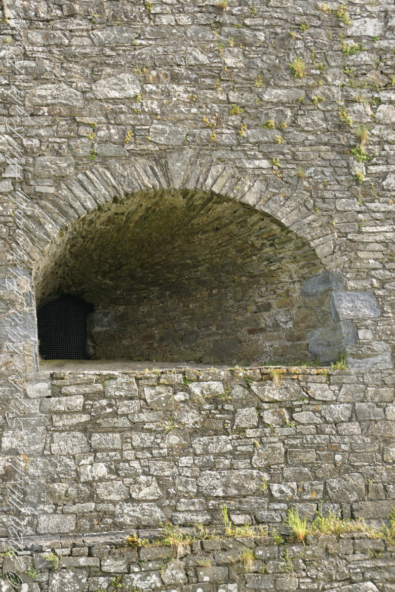
Close-up of gun port
Crenellations
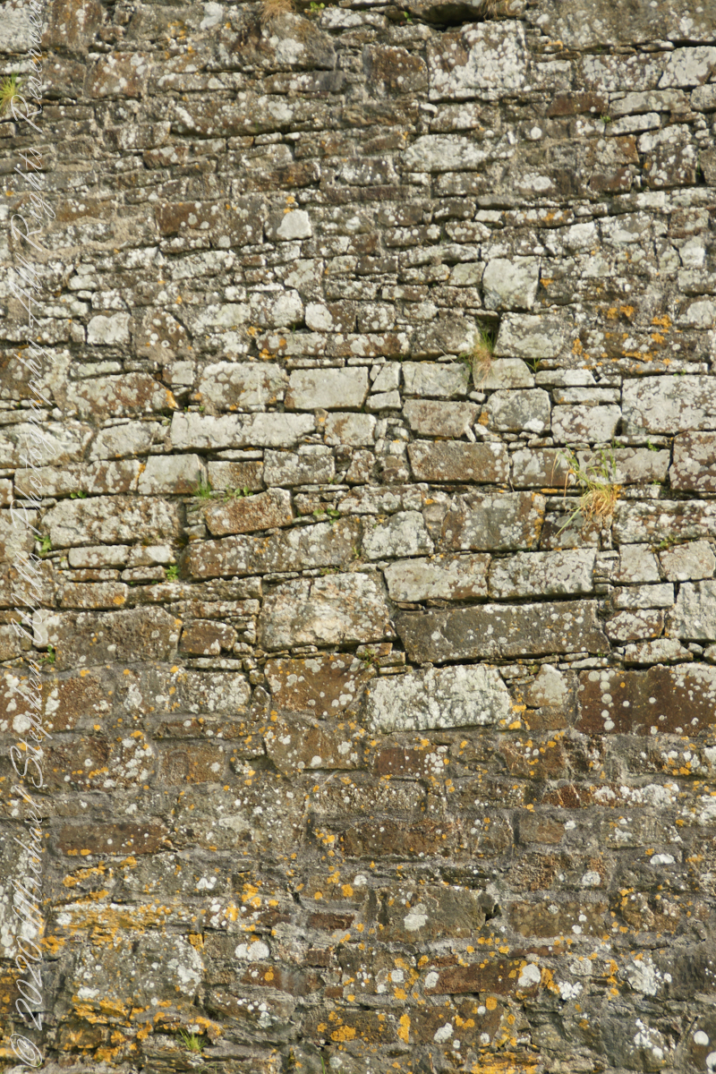
Tightly joined masonry
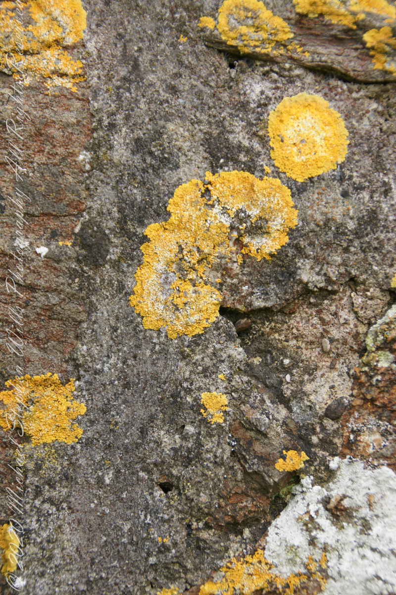
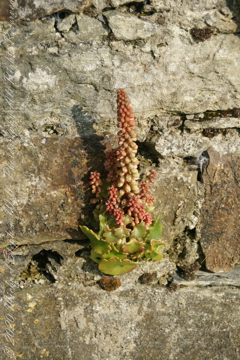
lichen
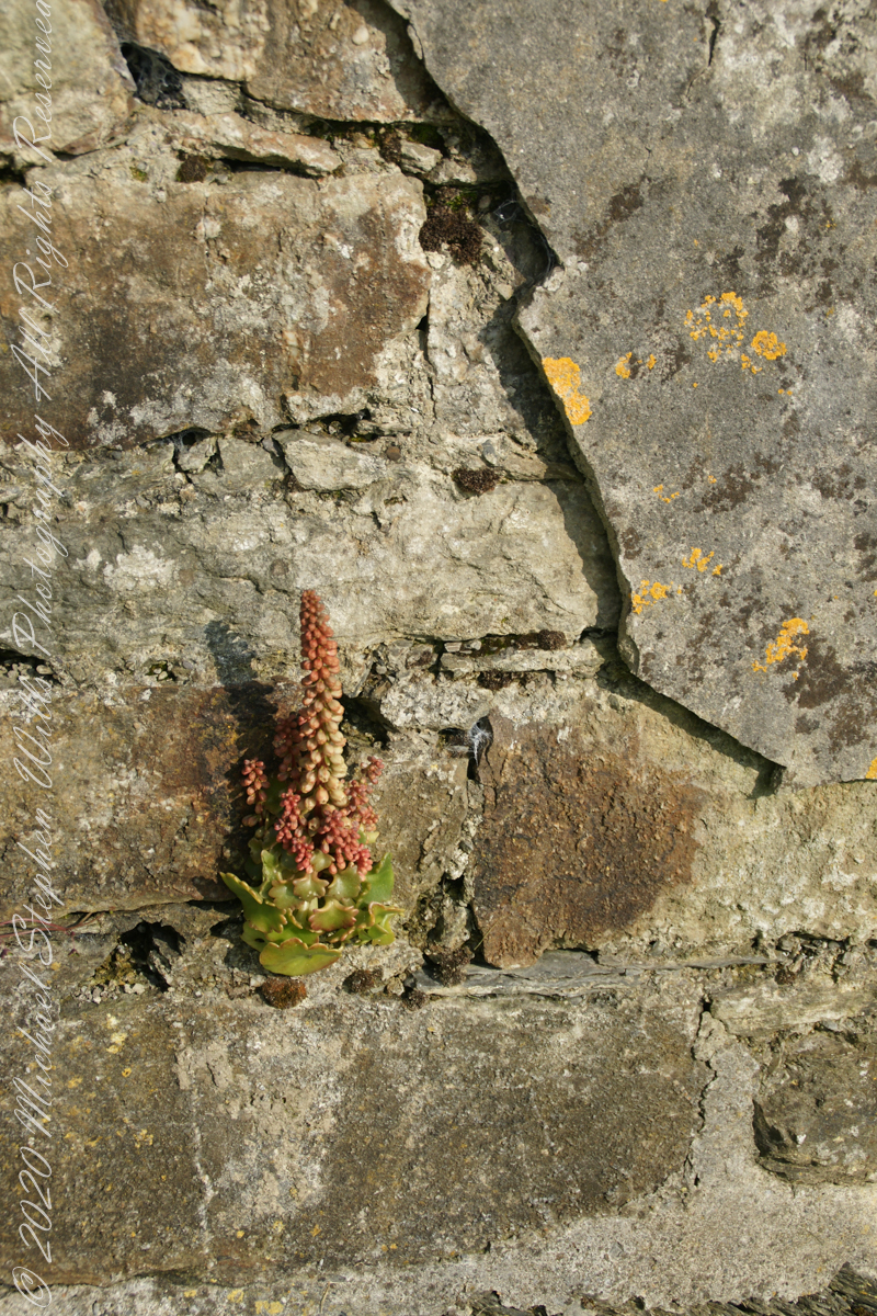
life has its way
seems to be a succulent
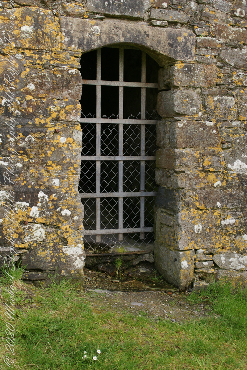
a doorway here seems a bad idea, but what do I know?
A pulley at first glance, look again and it is a lock
beneath the walls
Down to the Sallyport and the next post
References
“Charles Fort” – wikipedia
Copyright 2021 All Rights Reserved Michael Stephen Wills
My research for Zion Narrows I included a useful map. Perusing the the National Park Service web site I could find nothing for the Narrows. This week, while perfecting the three file merge, I kicked around in “google” and found this map hidden away in a section devoted to dedicated canyoneers planning multiple day backpacks through the entire canyon. These trips are from the “top down” and, I suppose, they do not want to expose the information to day trippers.
Anyway, I downloaded the map and present it here. You can either click on the hyperlink or click “download” to view the map. The file is a 2.5 MB pdf, if you want to download it. The trail accessible from the park proper starts from the bottom. Pam and I made it to just beyond where Ordway canyon joins, about 2 hours from the start. Note there are NO places to escape a flash flood beyond this point and, below, we learned from observation there are few places and many of these were for hikers more, lets say, nimble than Pam and myself.
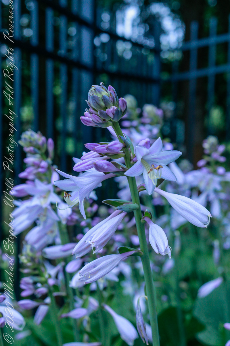
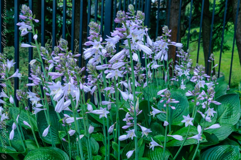
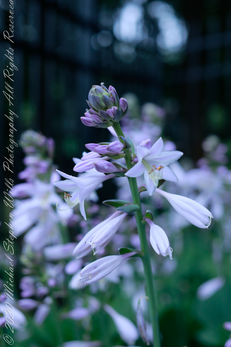
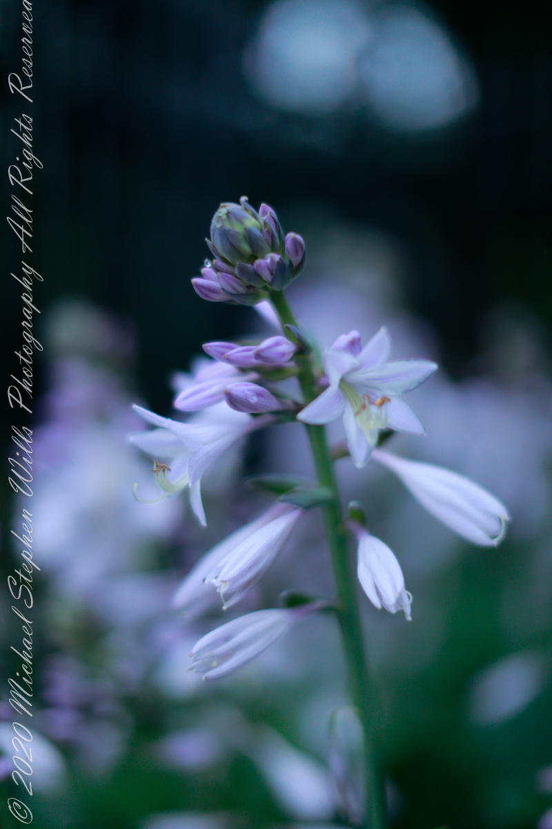
On July 17, 2021 Ithaca was socked in with heavy clouds obscuring sunrise, a perfect moment to capture Pam’s hostas flowering with the upper stalks still budding. I setup the Manfrotto tripod, the Canon dslr mounted with an EF 50 mm 1:1.2 L at ISO 800 and these are the results.
Native to northeastern Asia, In 1812 the genera Hosta was named for the European botanist Nicholas Thomas Host. Also called plantain lily for the habit of the herbaceous stalks to grow radially from a center.
0.5 sec at f / 16
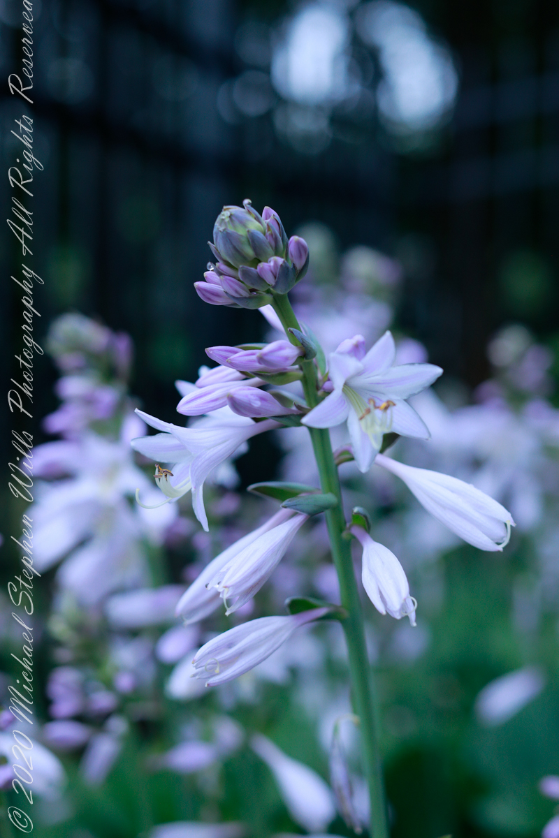
1/4 sec at f / 16
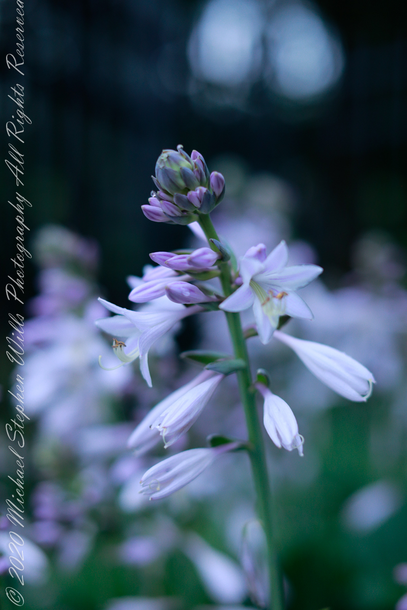
1/5 sec at f / 16
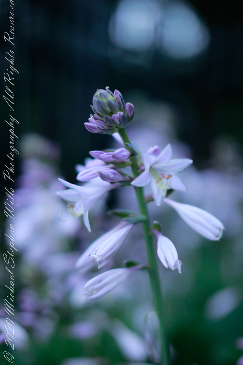
1/6 sec at f / 16
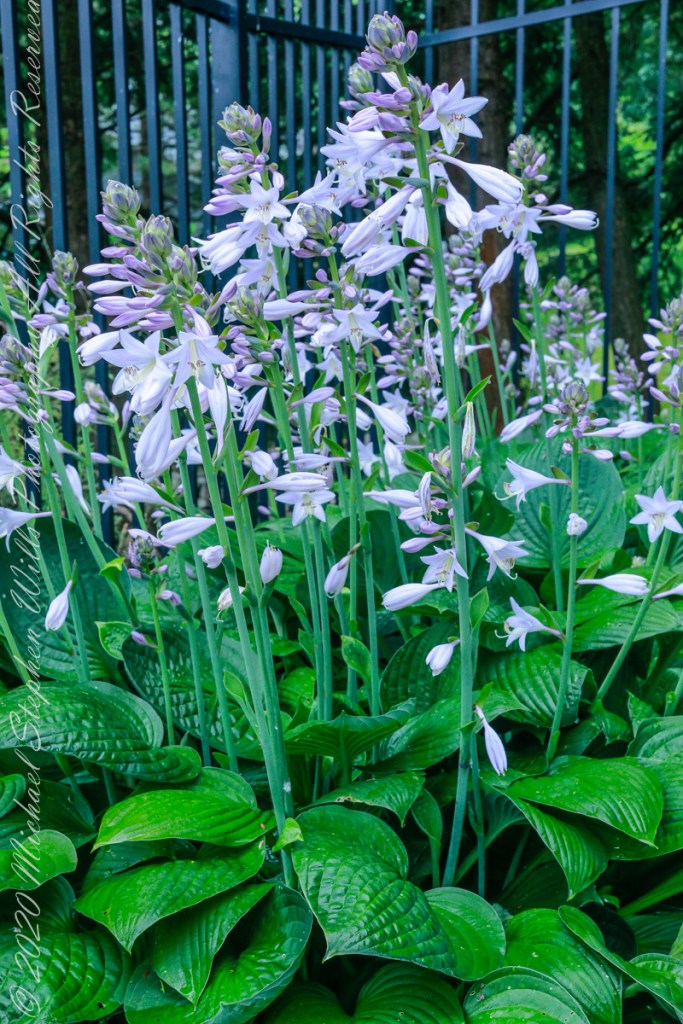
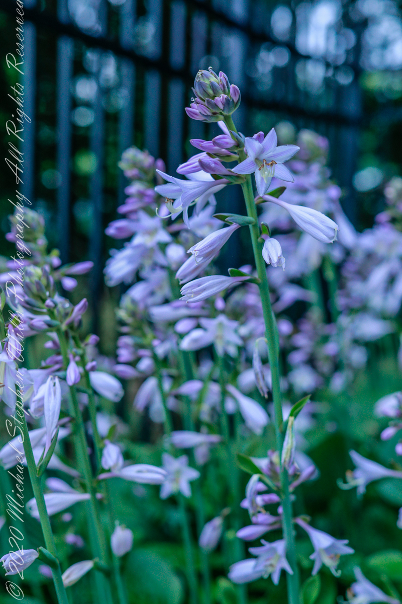
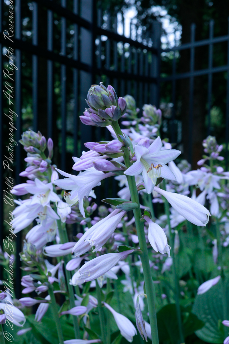
Slide show overview of the hosta and blooms
1/100 sec at f / 4.0
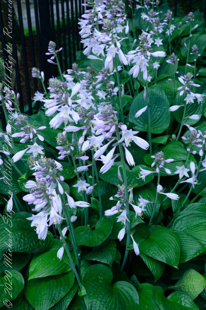
I enjoy the balance of background bokeh, foreground sharpness
This series moves from the lens diaphragm starting at the smallest opening, greatest depth of field and longest exposure, to the widest, most shallow depth of field and shortest exposure. The air was very still this morning, allowing me to experiment.
1/5 sec at f / 16
1/10 sec at f / 11
1/20 sec at f / 8.0
1/100 sec at f / 4.0
1/100 sec at f / 3.5
1/250 sec at f / 2.5
1/400 sec at f / 2.0
1/1000 sec at f / 1.6
1/1000 sec at f / 1.2
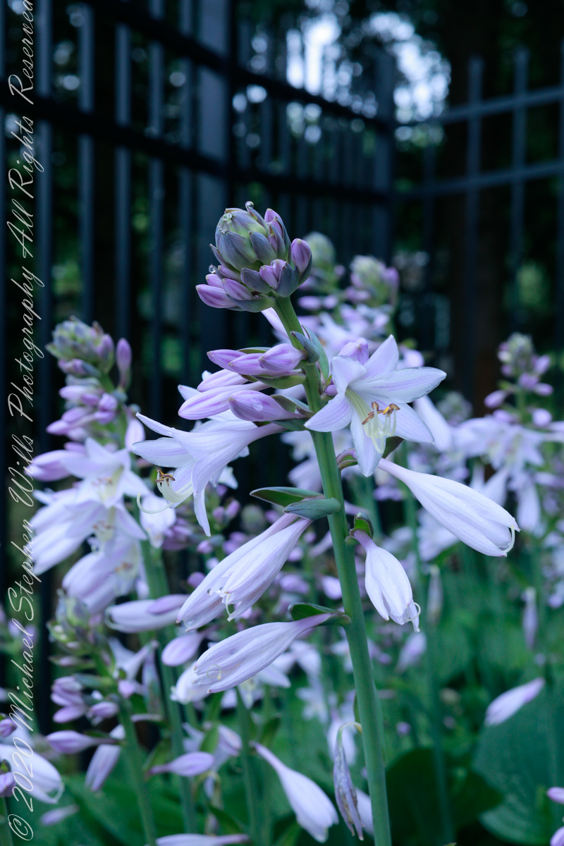
Here is my favorite version from the above experiment. Do you have a favorite? Named it in comment and please explain your choice.
1/20 sec at f / 8.0
Copyright 2021 Michael Stephen Wills All Rights Reserved
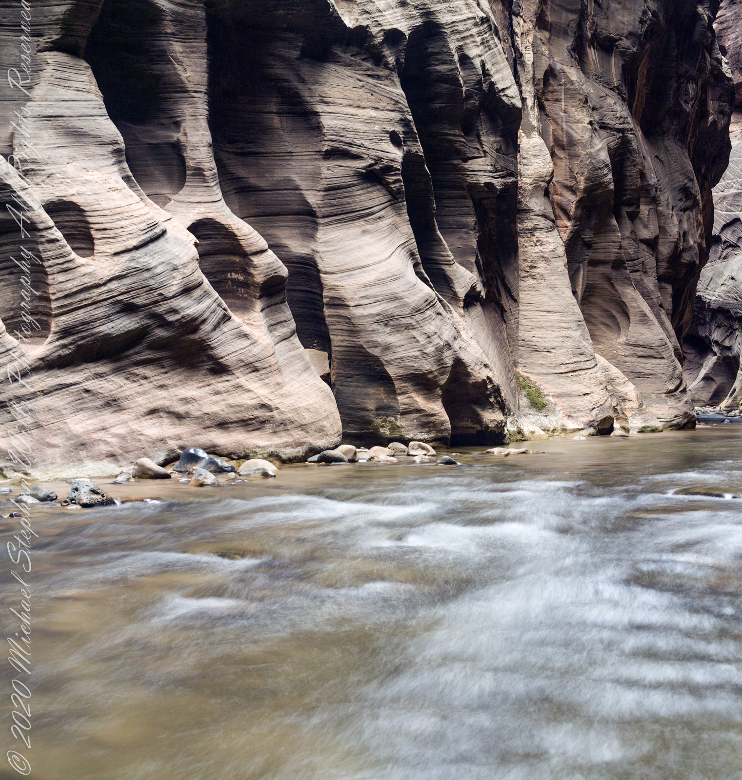
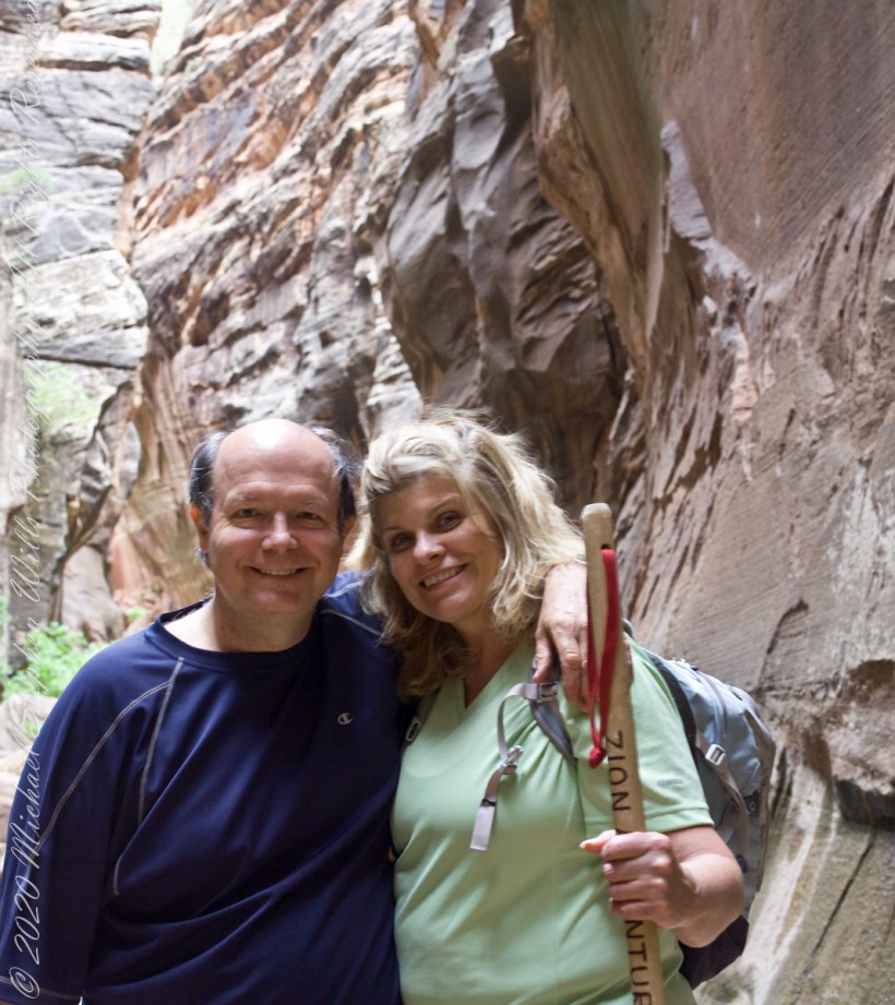
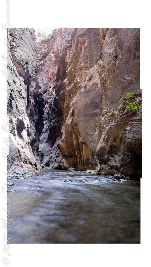
Our first day was spent hiking up to the narrowest section of Zion Canyon, called “Wall Street,” where the gorge walls are 1,000 feet high. There, the river is 20 feet across in places and not much wider anywhere. There is NO high ground to escape flash floods, only the high, unforgiving canyon walls.
As we were planning to venture beyond the tame sidewalk of “The Riverside Walk”, our first stop was to an outdoor supply store in Springdale to rent canyoneering shoes, to wade the river comfortably and safely, a sturdy stick to improve stability and free advice on current conditions for the potential of flash floods. You can see the stick in this portrait, mid-narrows. This was July, with a danger of torrential downpours, and we were nervous about this; however, proceeded anyway.
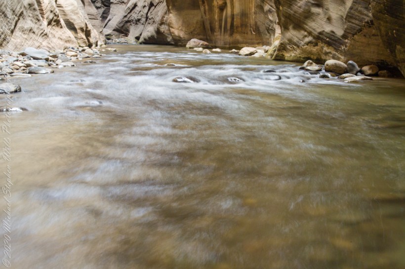
Several miles in, I set up the Manfrotto 468Mg studio tripod with the Kodak DSC pro SLR-c (the “c” specifies compatibility with Canon lenses) and the Canon 50 mm f/1.4 USM lens. Here we look downstream, the way we came. I waited for a clear shot w/o fellow hikers coming up from behind. This was before investing in a wide-angle lens. My plan was to stitch the three shot together.
Click on each photograph for a larger view, in new tab.
Bottom
Middle
Top
Rough draft of the combination.
The work remaining on the rough draft are to match the edges as close as possible, smooth out the differences until the joins are indiscernible.
Here are the same photographs as a slide show. I enjoy how the long exposure blurred water lead the viewer into the gorge walls.
Captured with a Kodak DCS Pro SLE/c dslr and a Canon EF 50 mm f/1.4 lens stabilized with the Manfrotto Studio Tripod model 475 and the 468 Hydrostatic ball head.
Copyright 2021 Michael Stephen Wills All Rights Reserved
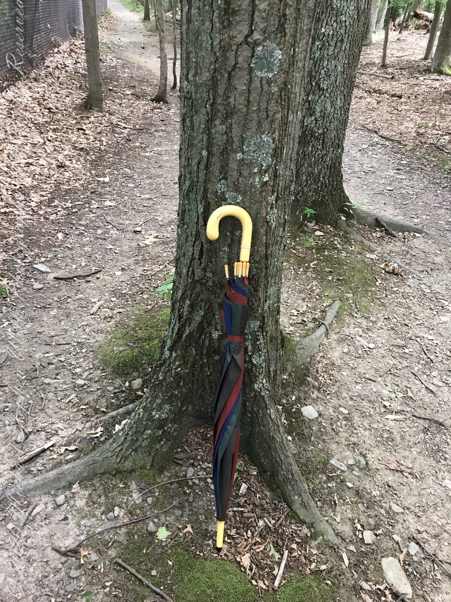
Constant winds from thunderstorm updrafts, I brought along an umbrella just in case.
Click photograph for slide show. To do this from WordPress Reader, you need to first click the title of this post to open a new page.
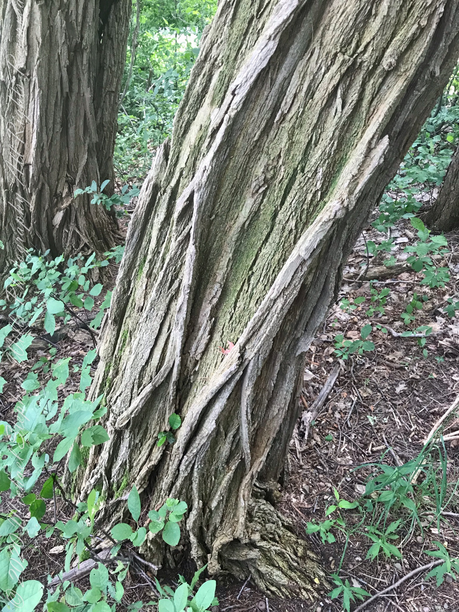
Maple Tree
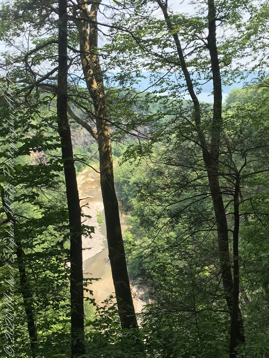
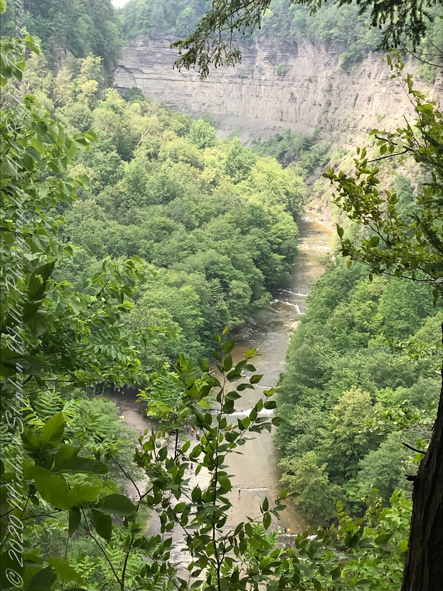
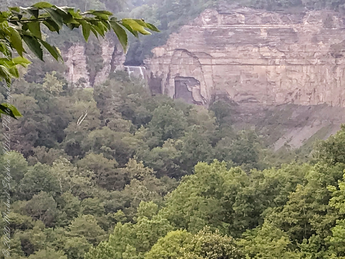
View from the South Rim Trail. The water flowing from Taughannock Falls to Cayuga Lake.
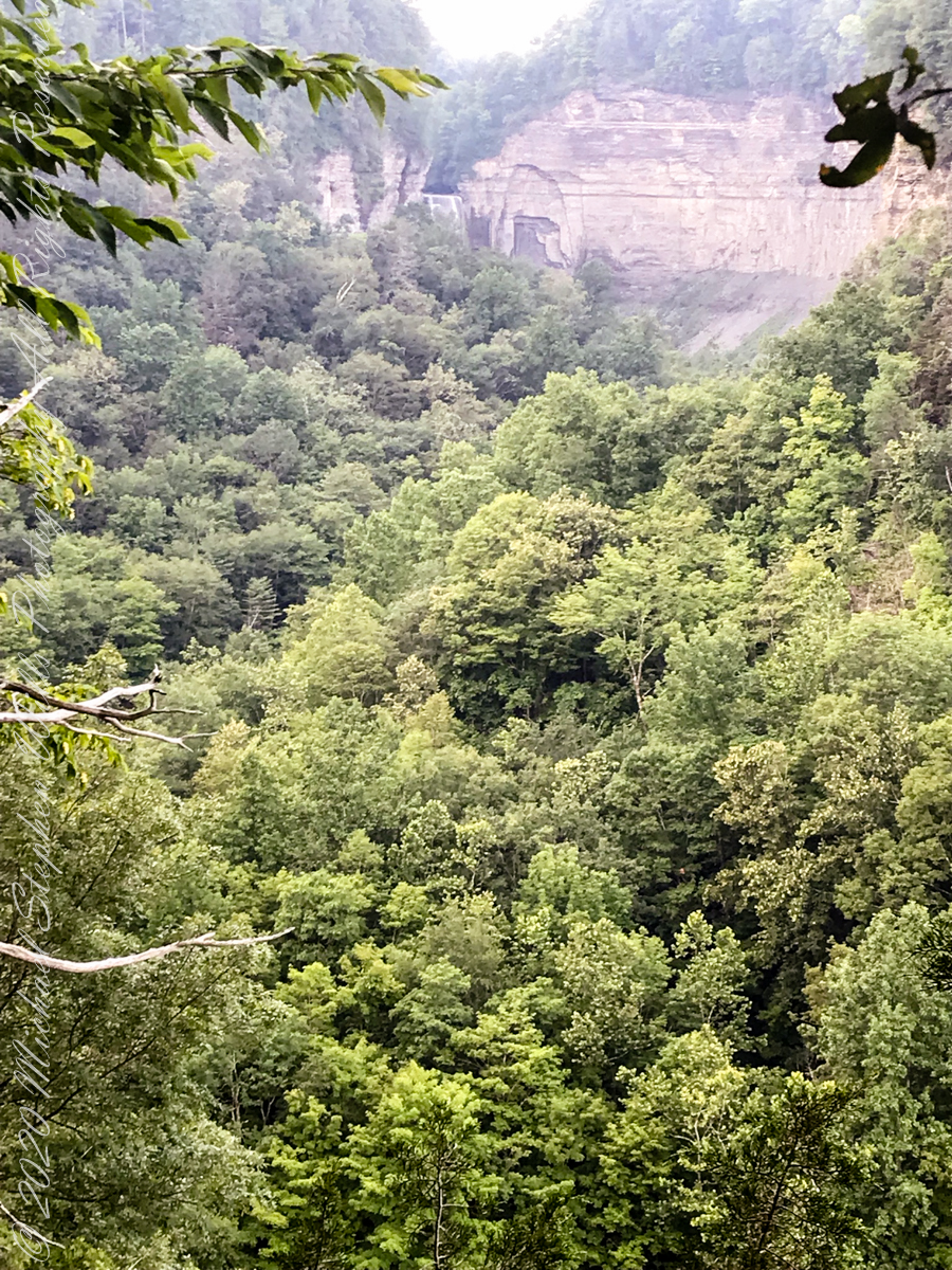
The steep, high gorge walls below the falls on a humid July morning.
gorge walls
My umbrella
Taughannock falls in distance
Taughannock Falls in distance
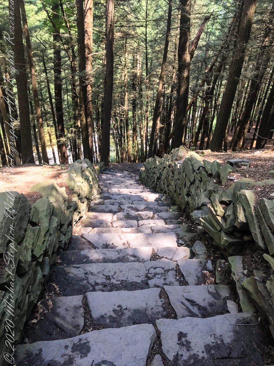
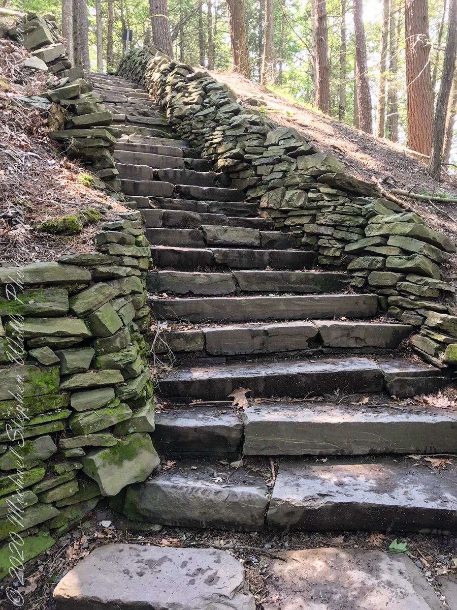
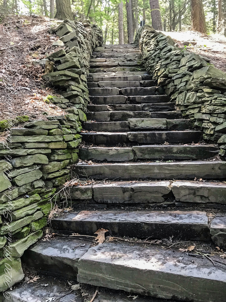
South Rim Stairs built by the Civilian Conservation Corps in the 1930’s
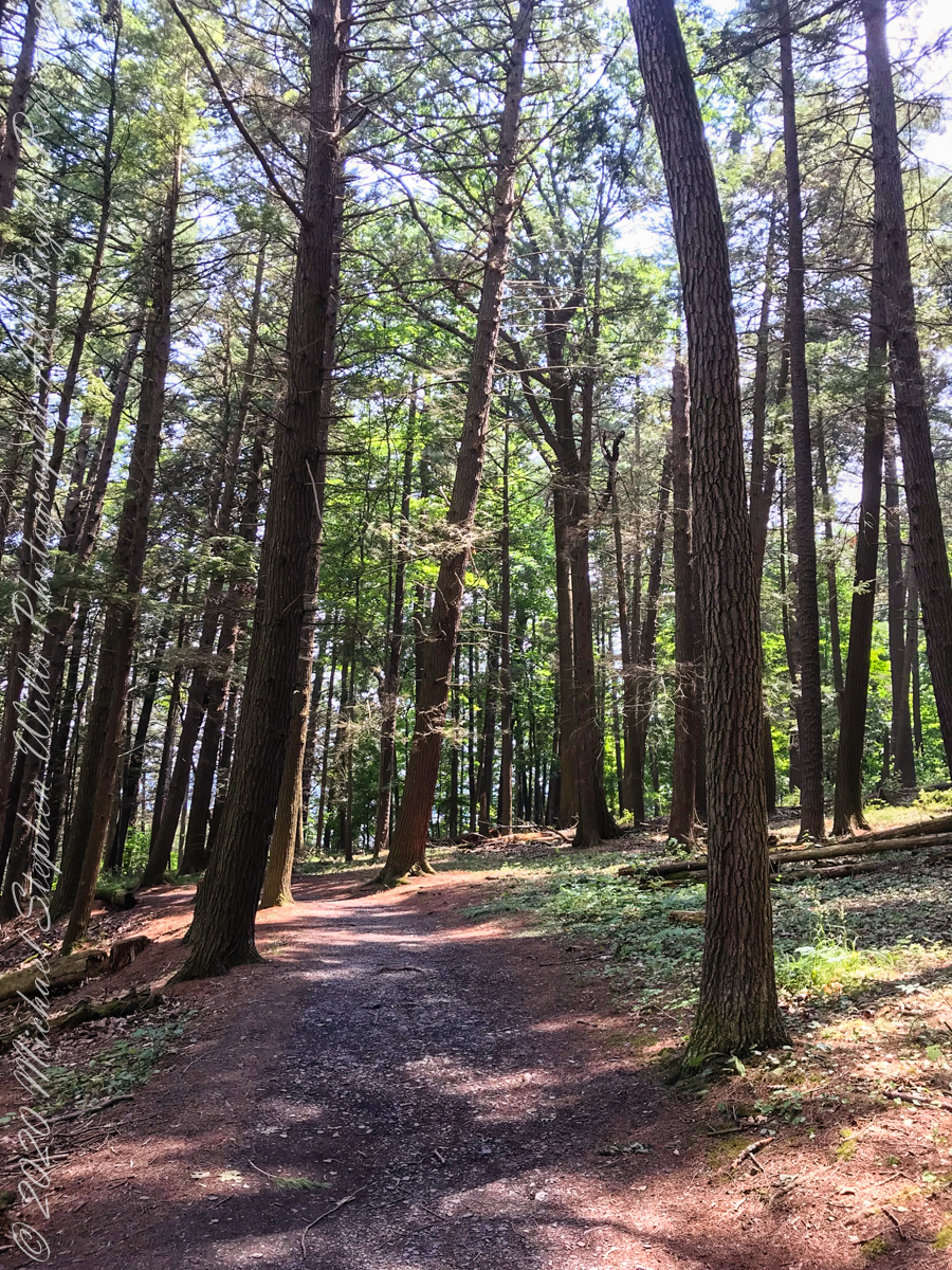
Pine Forest at foot of stairs
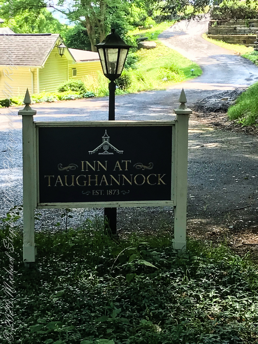
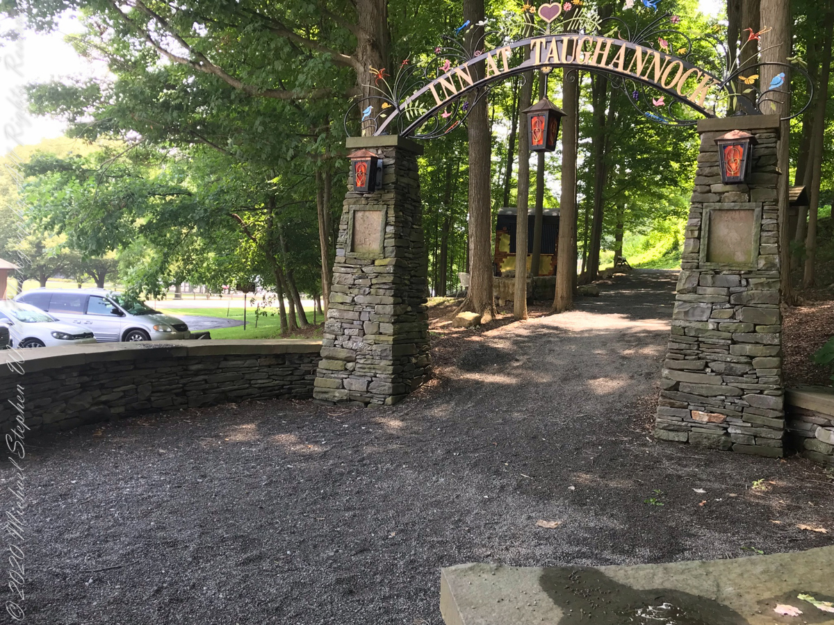
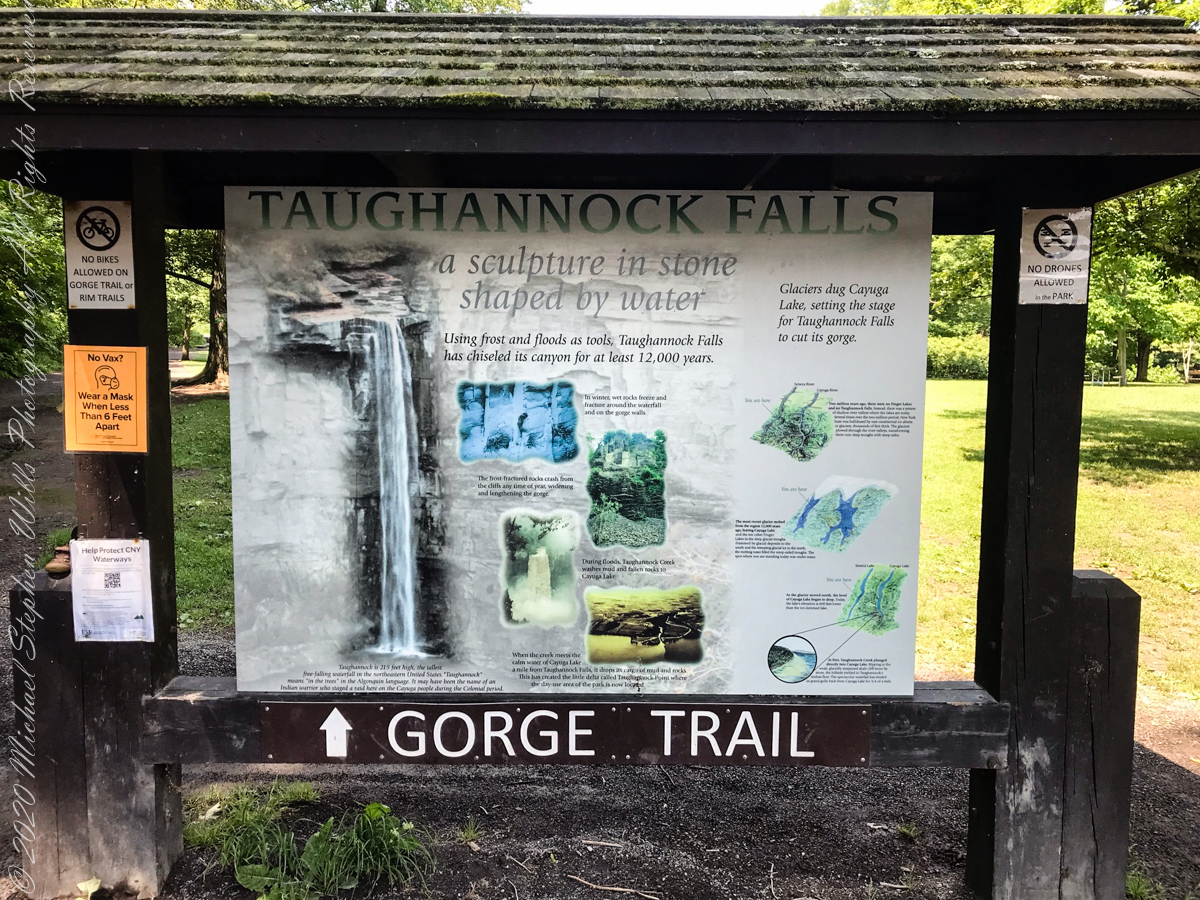
An interesting presentation at the Gorge entrance
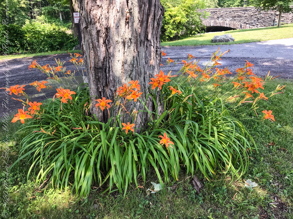
Tiger Lilies
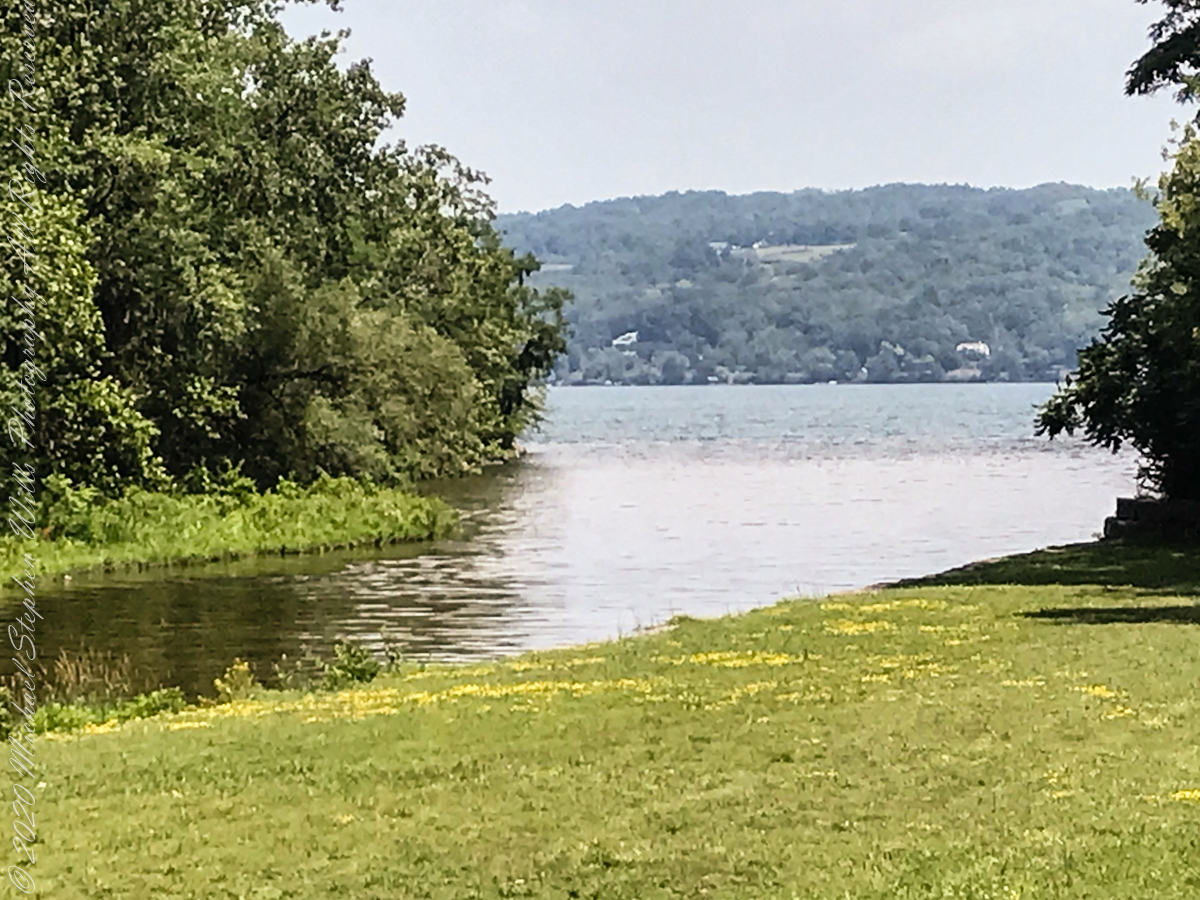
brown creek water meets Cayuga Lake (900 feet deep)
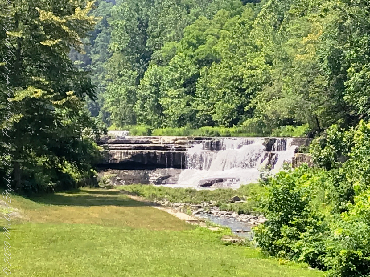
Last waterfall of Taughannock Gorge
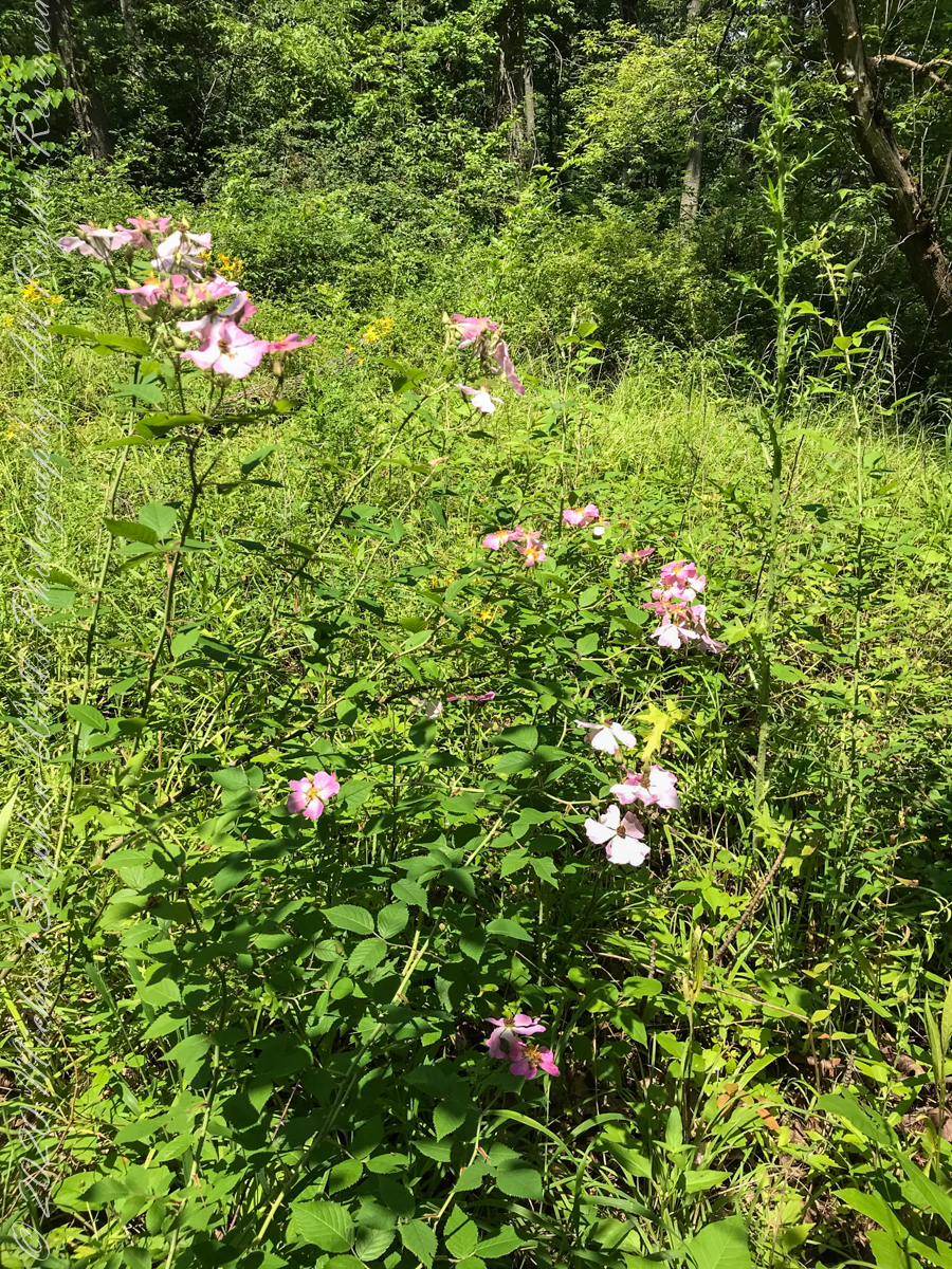
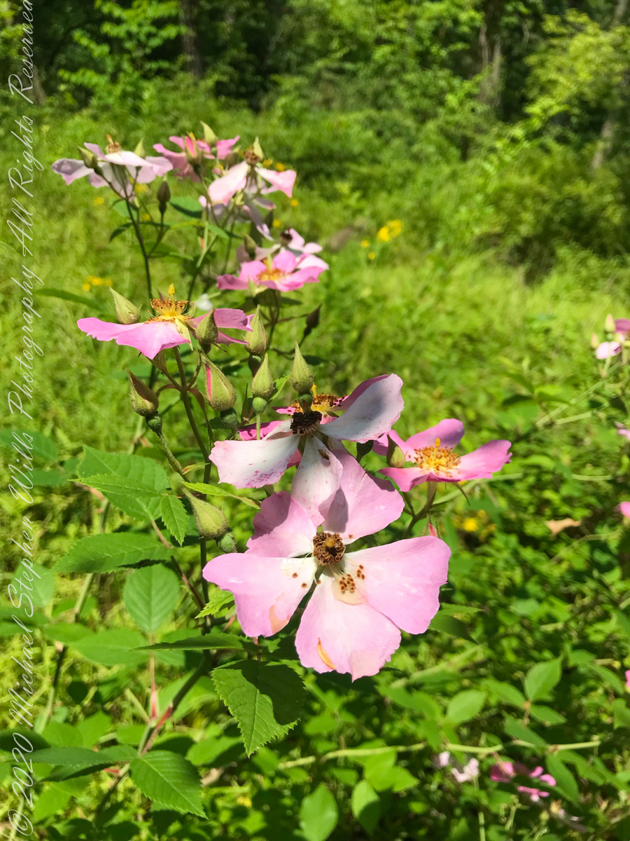
wild roses
Wild rose blooms
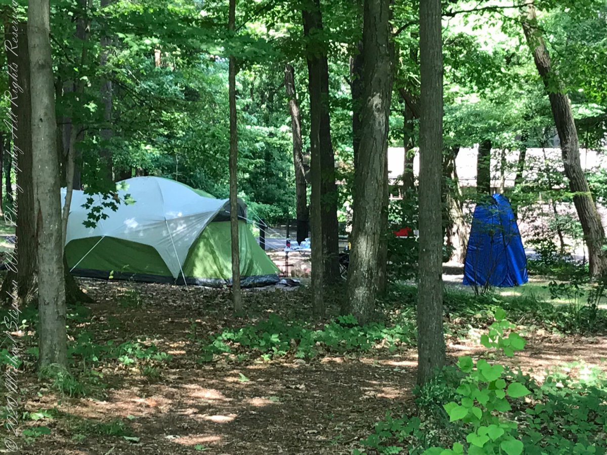
camping on North Rim
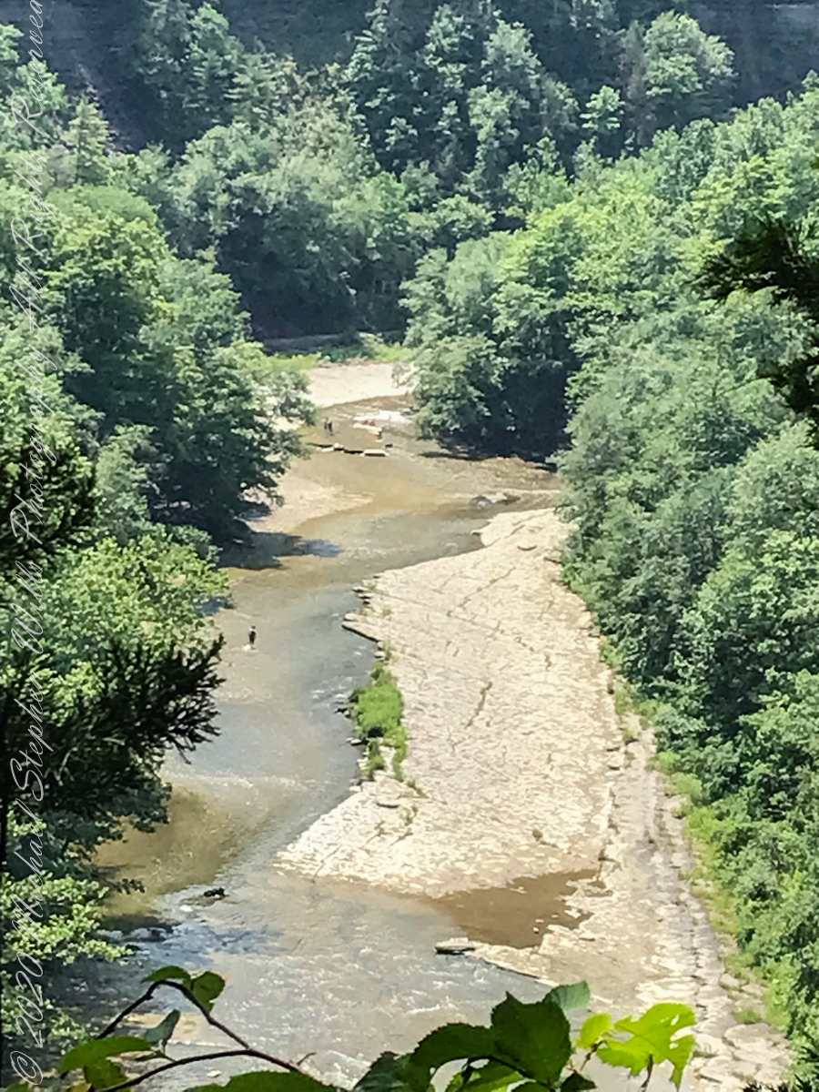
North Rim Gorge view
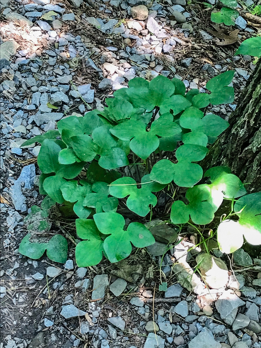
Lobe leaved Hepatica
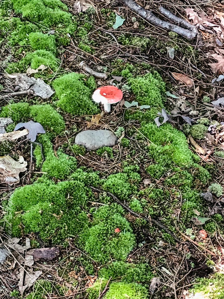
Mushroom and Moss on the “wetter” north rim
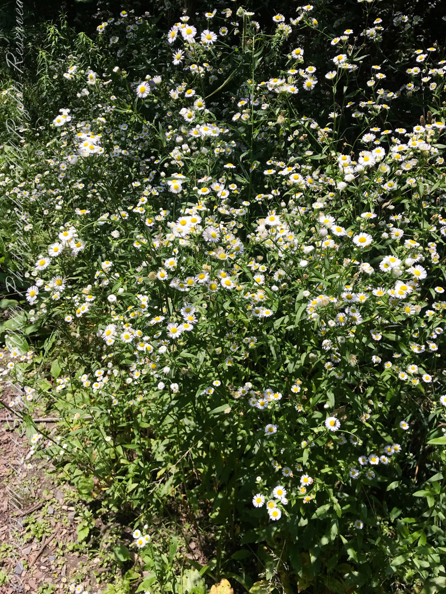
asters, an invasive species
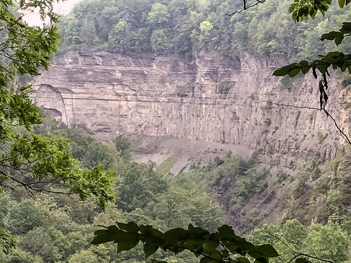
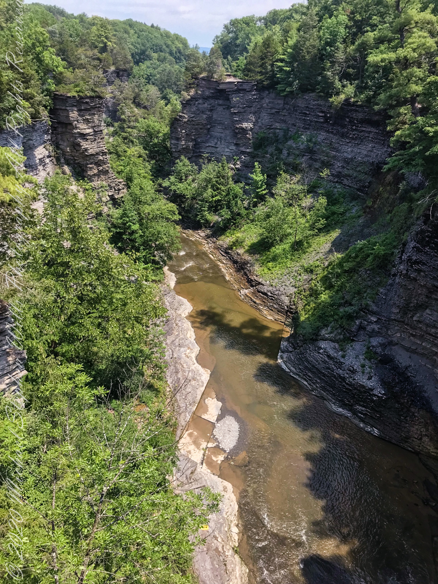
The dramatic and virtually inaccessible gorge above Taughannock Falls
Click the “Watch on YouTube” for a larger format view and more information about each video.
Taughannock Falls Gorge on a humid summer morning
Hemlock Forest on South Rim Trail
Taughannock Falls Gorge from South Rim Trail
Taughannock Falls from South Rim trail
View of Taughannock Falls Gorge from the North Rim trail on a humid summer (July) morning. Turkey Vultures circle overhead…they are there most summer days.
View of the first waterfall of Taughannock Gorge from the railroad bridge linking the North and South Rim trails on a humid summer (July) morning. This large waterfall empties to the gorge above the 210+ foot Taughannock Falls.
Copyright 2021 All Rights Reserved Michael Stephen Wills