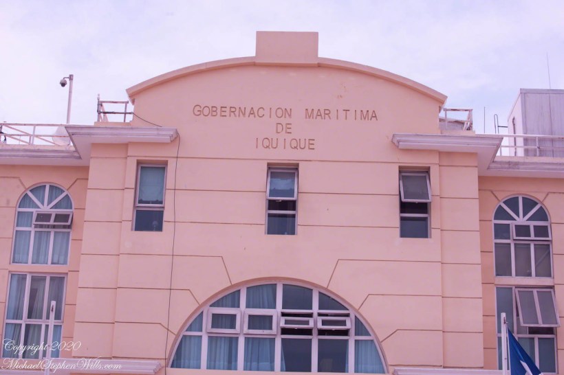
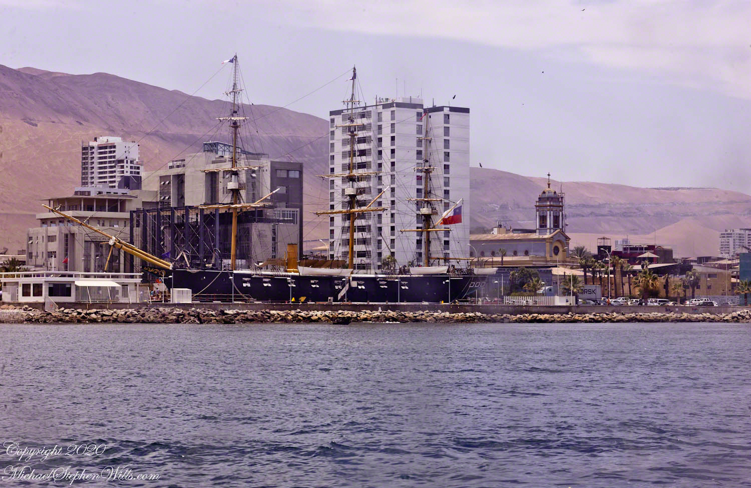
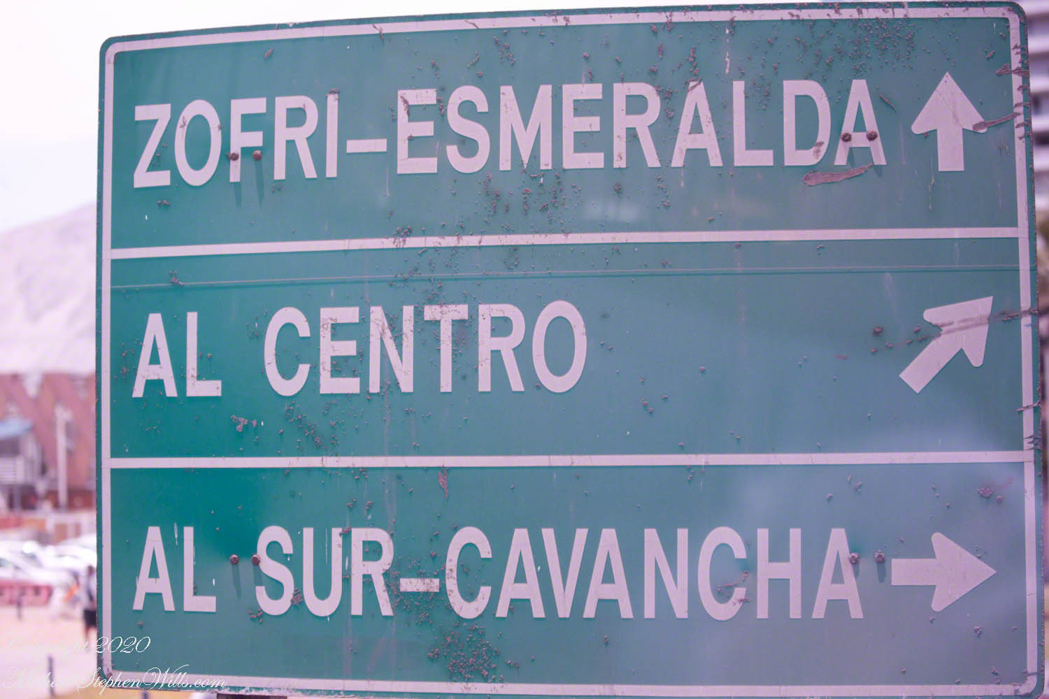
Shortly after the Maritime Government plaza is a crossroads with this interesting sign. The first line references two attractions. “ZOFRI” is the local abbreviation for the designation of Iquique as a port with tax advantages. The destination of this sign is a shopping mall. “Esmeralda” is the living museum I photographed from the tender. Our route to the Atacama desert took us through “Centro” with views of “Sur-Cavancha” on our ascension of the escarpment.
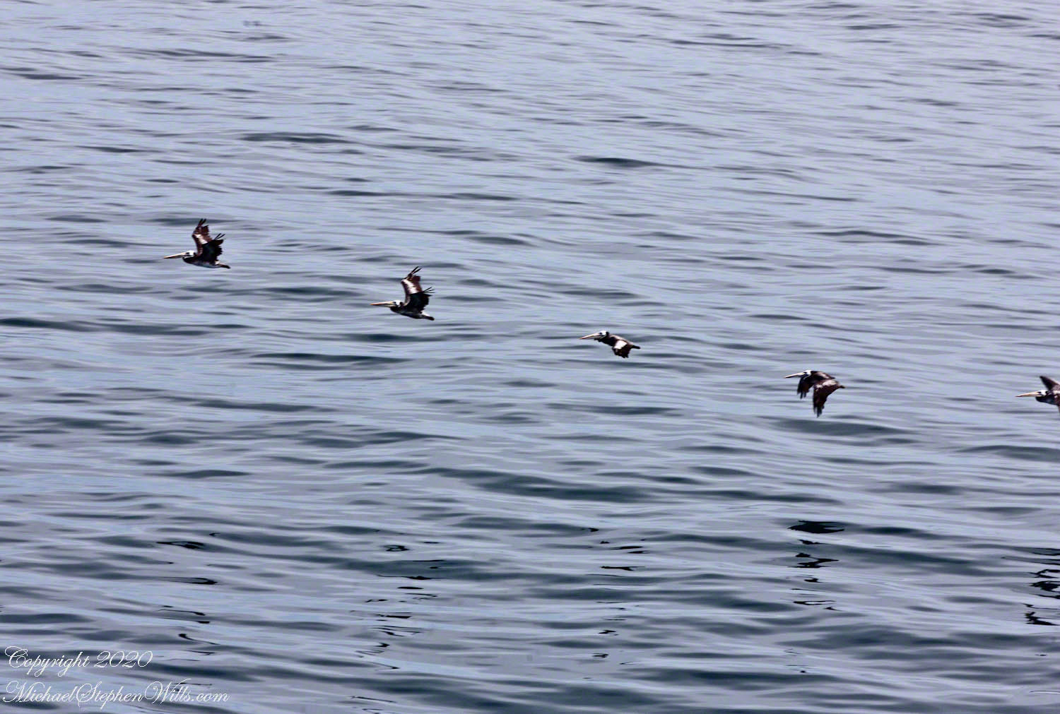
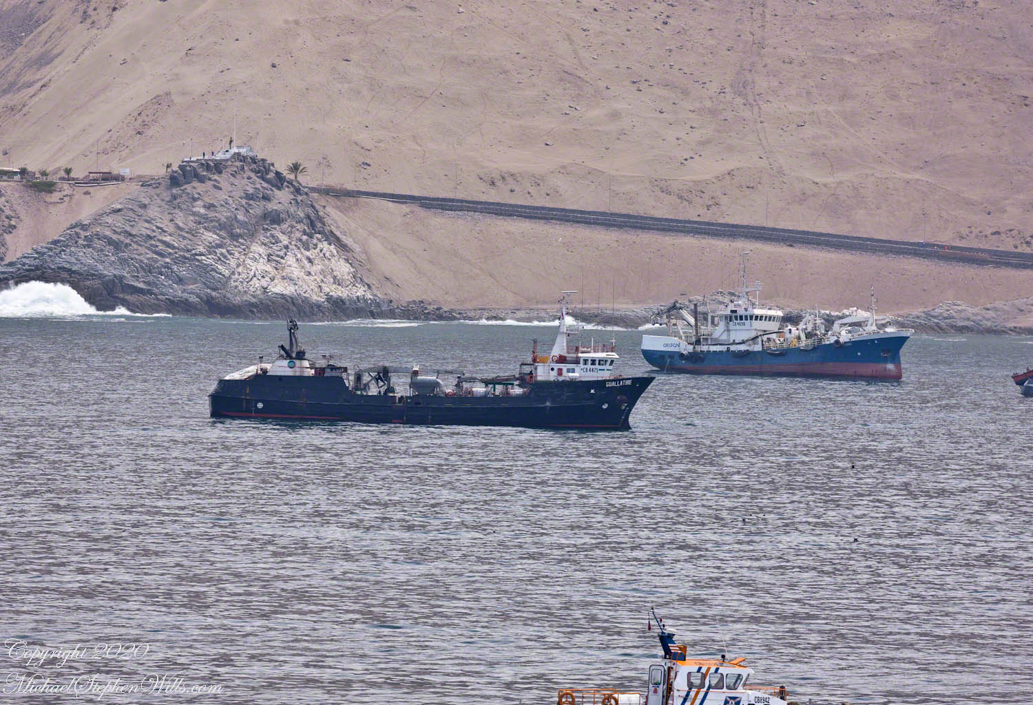
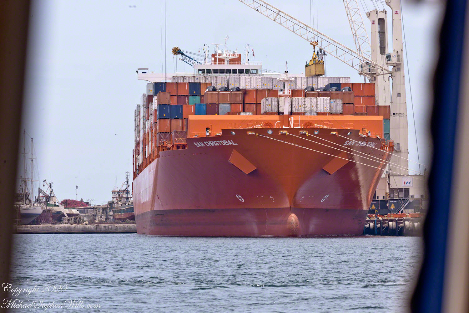
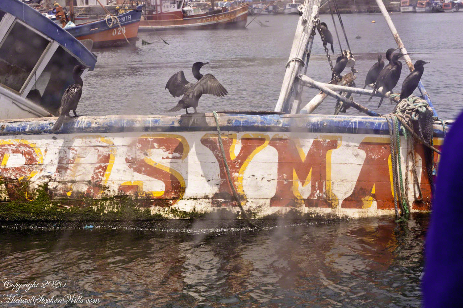
Click any photograph for a larger view and use Ctrl-x to zoom in closer.
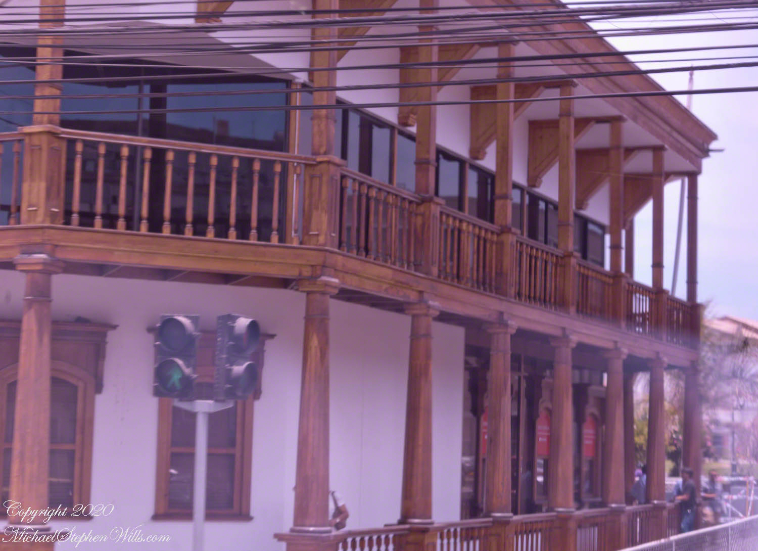
As we approach the central square, this local wonder is on the corner. Any wood must be acquired over long distances as little (close to nothing) grows locally.
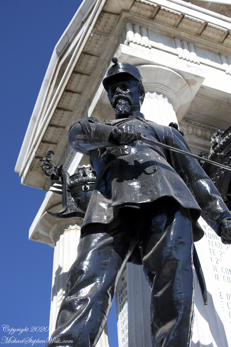
Declared a National Historic Landmark on July 13, 1987 this Clock Tower, together with the buildings surrounding it in the plaza (the Municipal Theater of Iquique, the building of the Workers Welfare Society of Tarapacá, the Casino Español and the Club Croata) is one of the most representative urban expressions of the “Saltpeter Period”, a time which saw much foreign investment. Built 1878 when Iquique was Peru territory, the partition walls of Oregon pine wood, a clock mechanism from England. Saltpeter, a nitrogen rich deposit on the Atacama desert surface, brought thousands of poor workers to exploit the natural resource and to, in turn, be exploited.
I decided against straightening the tower, too much was lost in the process.

A pair of linear fountains run parallel to the road, framing the clock tower or theater depending on the point of view.

Click me for the first post of this series.
References
Wikipedia – “Zona Franca of Iquique” and “Clock Tower (Iquique).”
Copyright 2020 Michael Stephen Wills All Rights Reserved