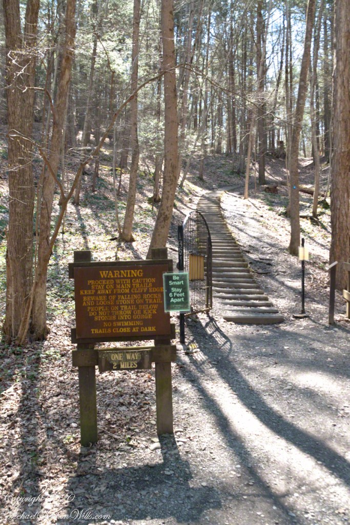
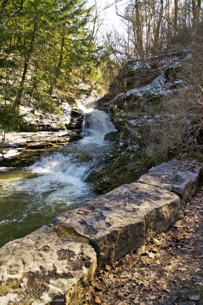
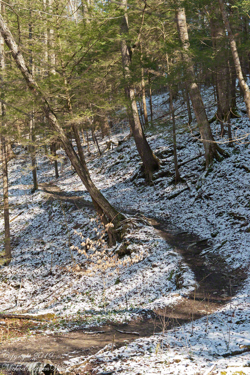
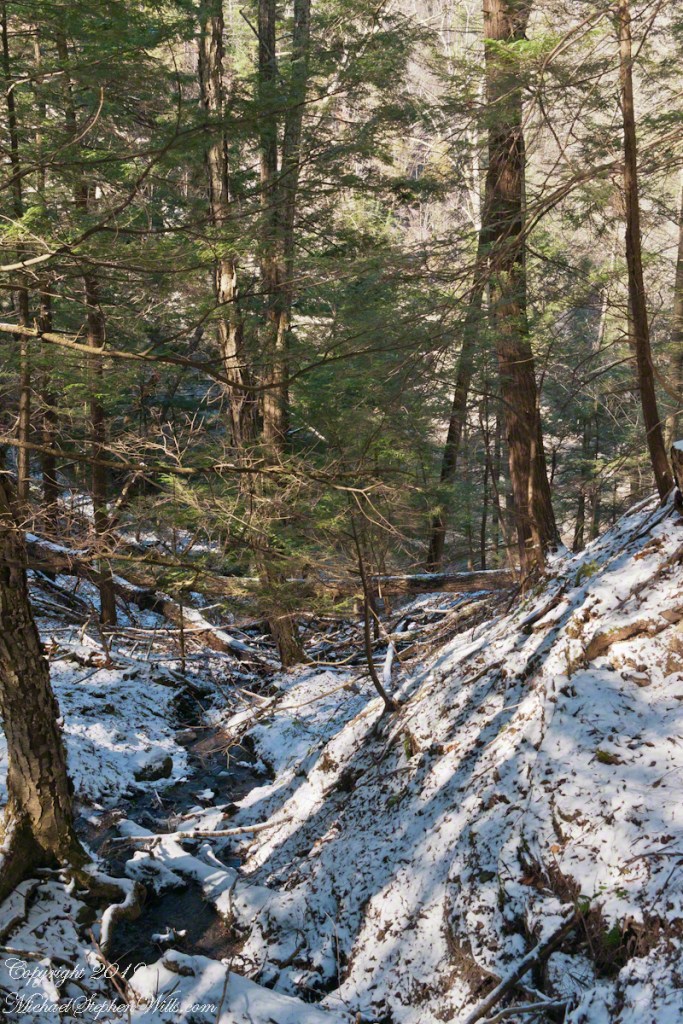
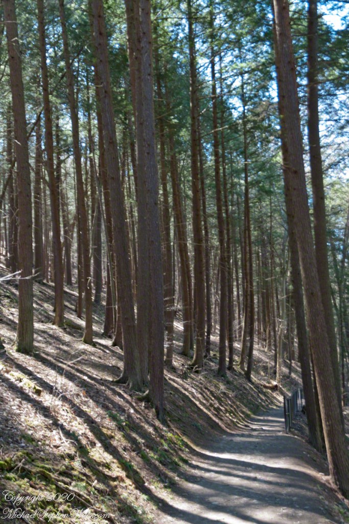
One hundred and fifty feet in a series of steep climbs is the effort expended to reach the relatively level portion of South Rim Trail where the tall Red Pines briefly reign. Here the trees thrive on the northeast facing slope. They grow in this way in one other location, in the upper park, on an eponymous trail.
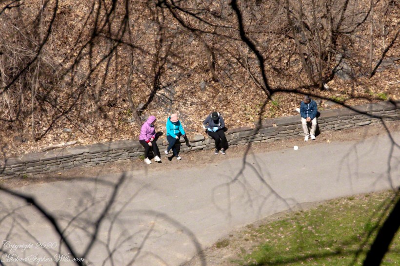
Encounters with groups of people descending always demanded I step off the trail to allow social distancing. Everyone work a flimsy face covering, although Governor Coumo’s order covers situations where social distancing is not possible. As of you, we do not have the loose masks; but only the N95 or a full respirator (both acquired very early on, our respirators were purchased for spreading lawn chemicals and spray painting).
Click photograph for a larger view. To do this from WordPress Reader, you need to first click the title of this post to open a new page.
Red Pine (Pinus resinosa), also know as Norway Pine, shed pollen prolifically. Some Aprils my boots are covered with it, a dusting of yellow. Not today.
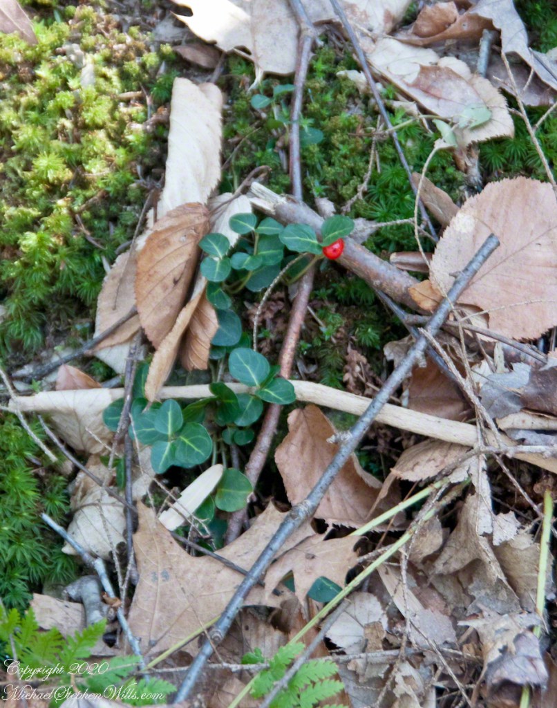
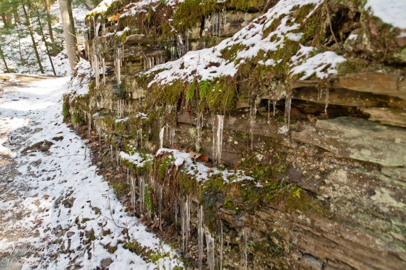
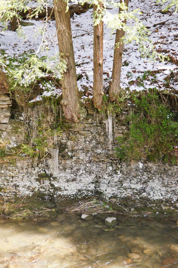
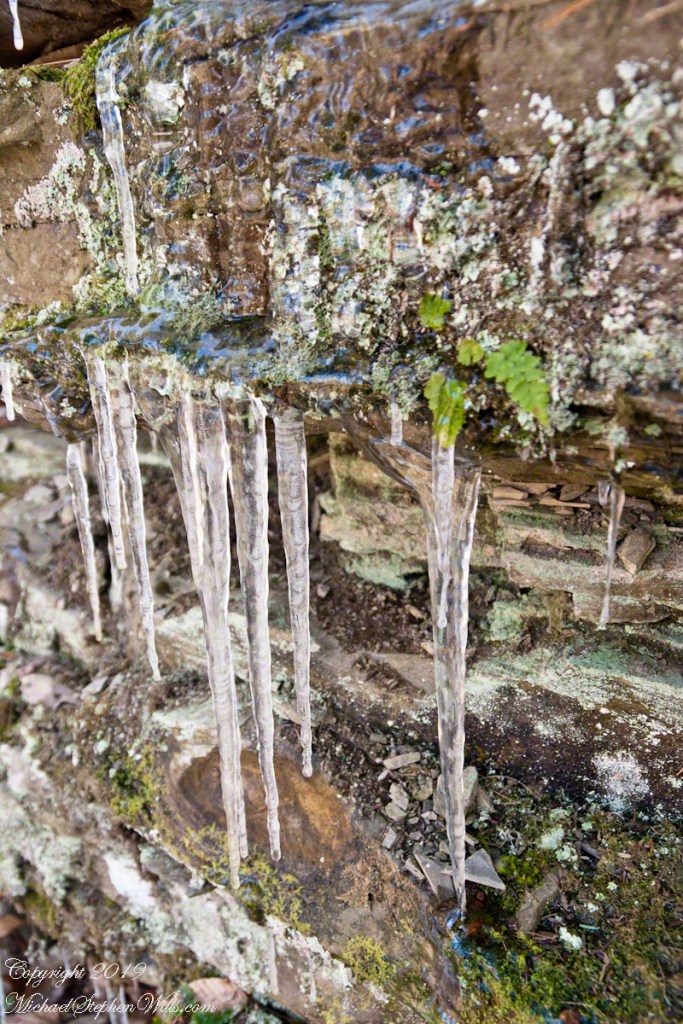
A species easy to spot among the green, an example of a shrub of the genus Gaultheria, though a very small specimen. The common name is wintergreen and I have never found larger specimens in Treman park. It is growing among the mosses on the wall of Enfield Glen South Rim.
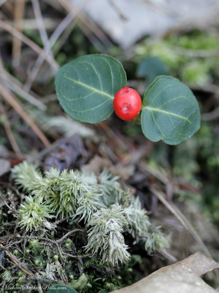
The tough wintergreen leaves endue the cold seasons, the name is synonymous with evergreen.
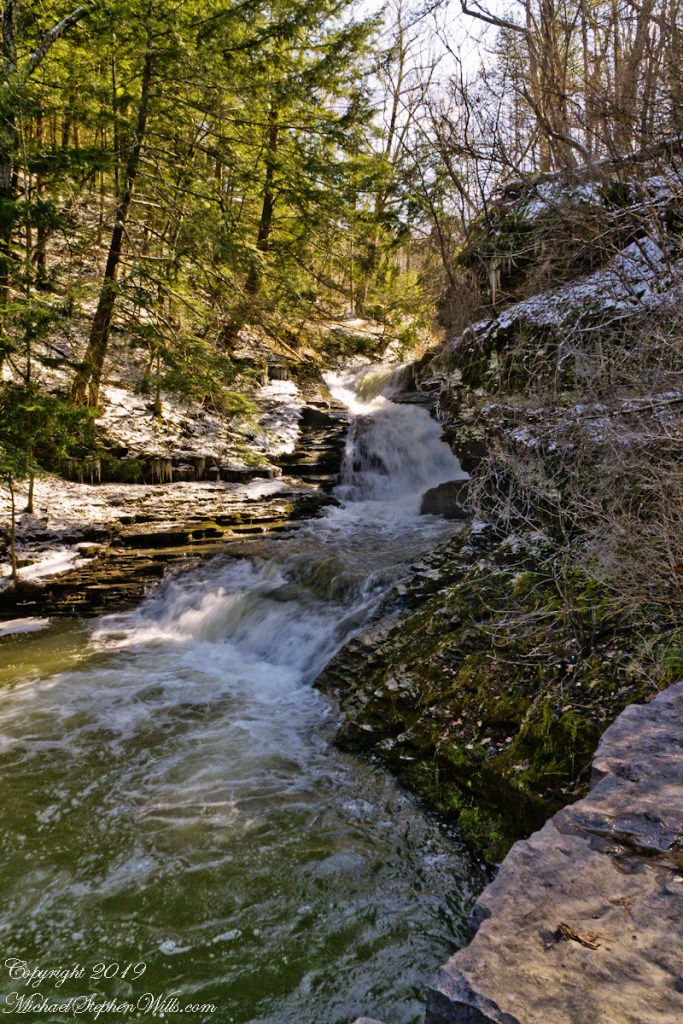
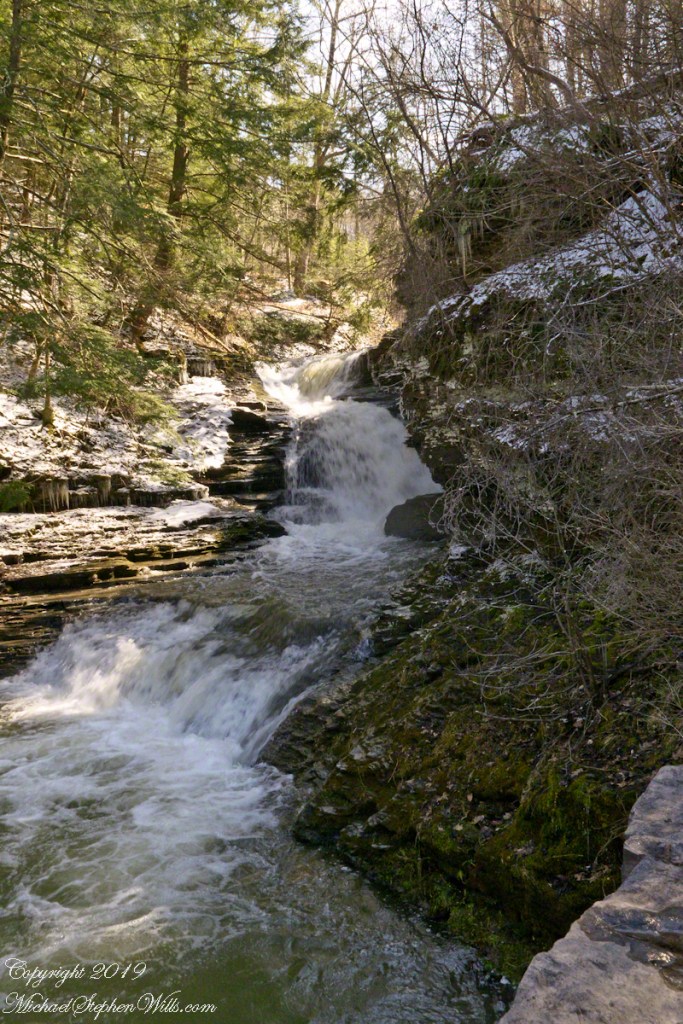
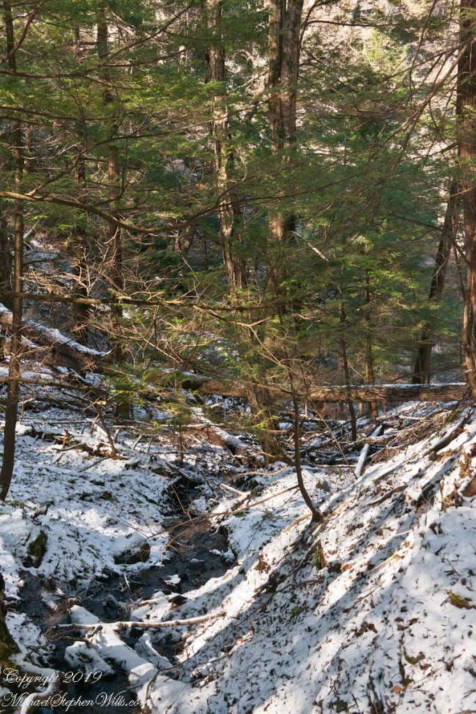
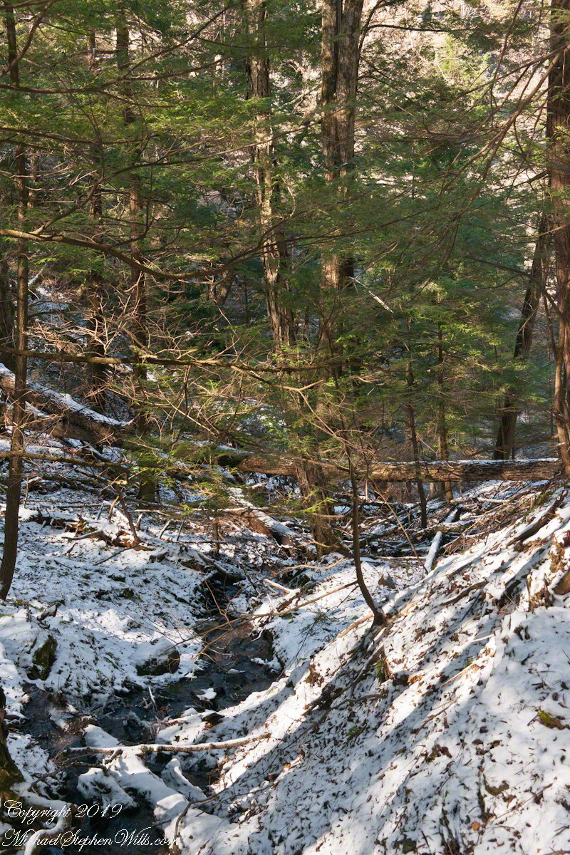
Both shots are handheld, the macro is from a 100 mm “macro” fixed focus lens. ISO 2500, the f-stop to be wide open at 2.8 to gather the sparse light and present the subjects, blurring the immediate background. The overview shot is also a high ISO, 2000, the f-stop 5.8 on a variable focus lens set to 60 mm.