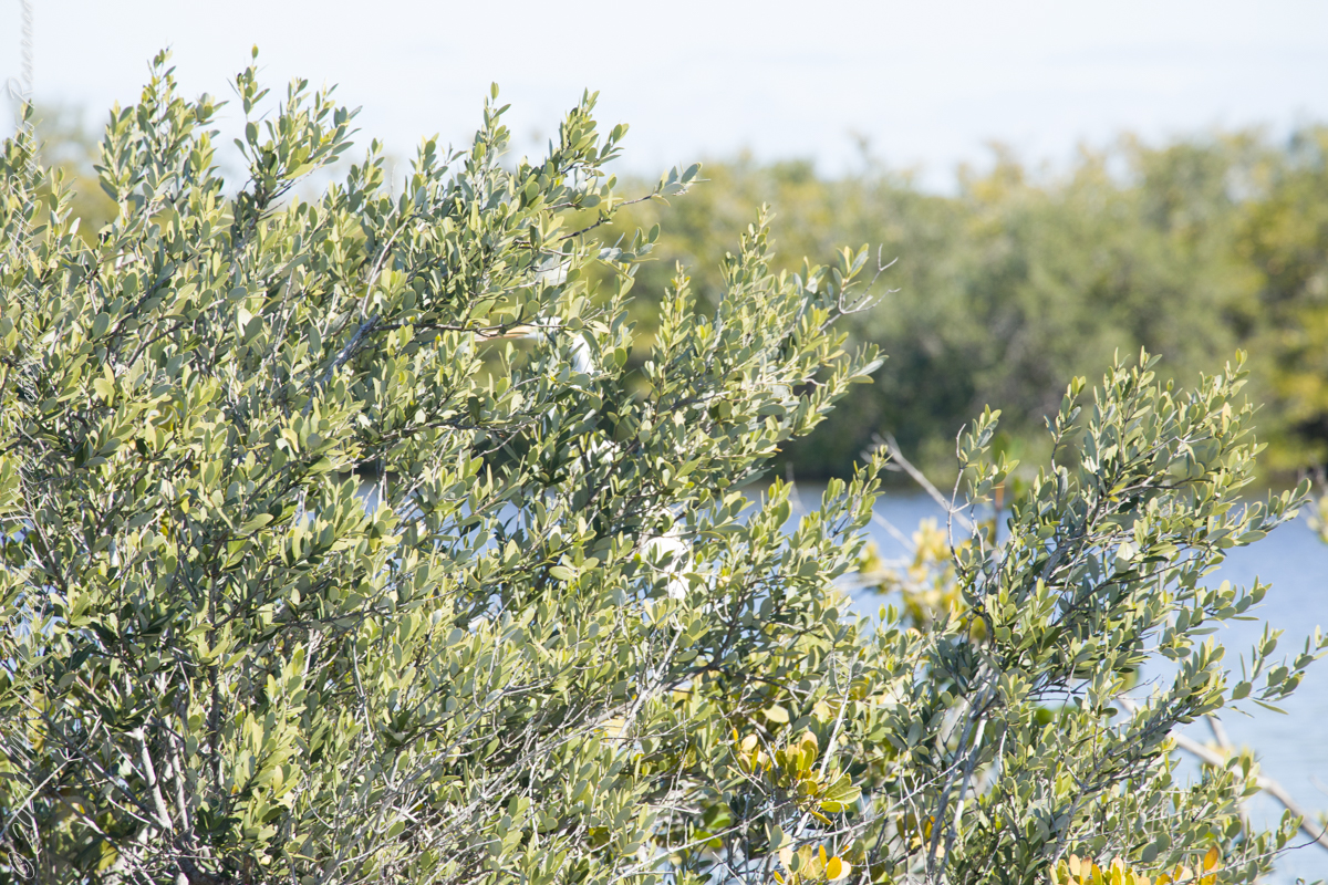
amazing resolution with the Canon 24 mm lens
(Click any photograph to visit my online gallery)
The resolution of the Canon EF 24mm f/1.4L II USM makes this lens a favorite of mine for landscape work. Let me show you why.
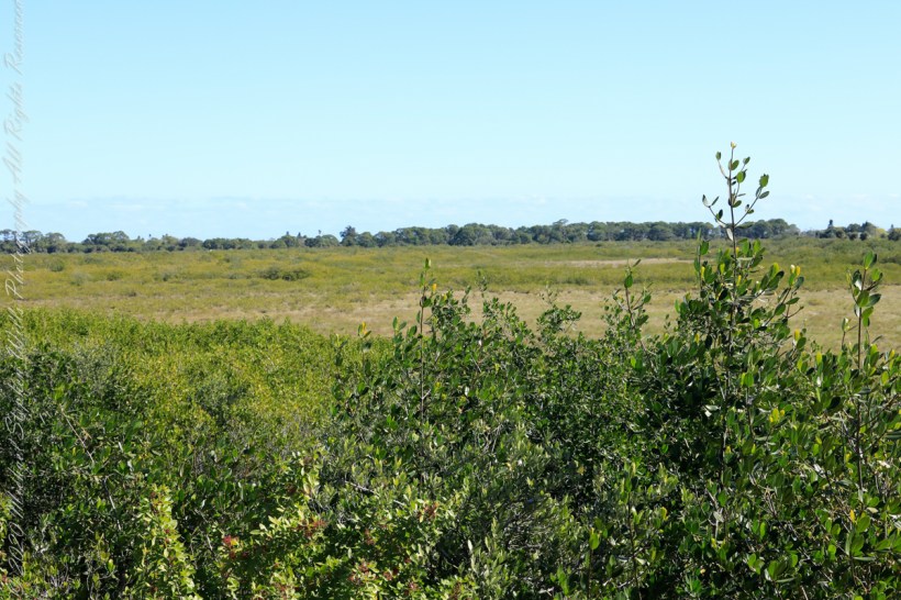
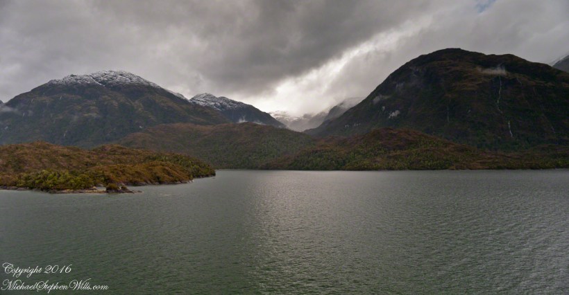
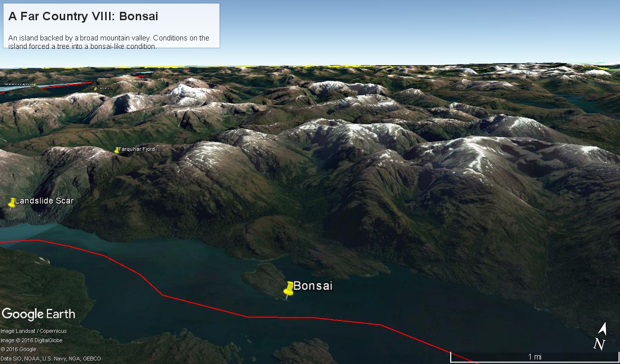
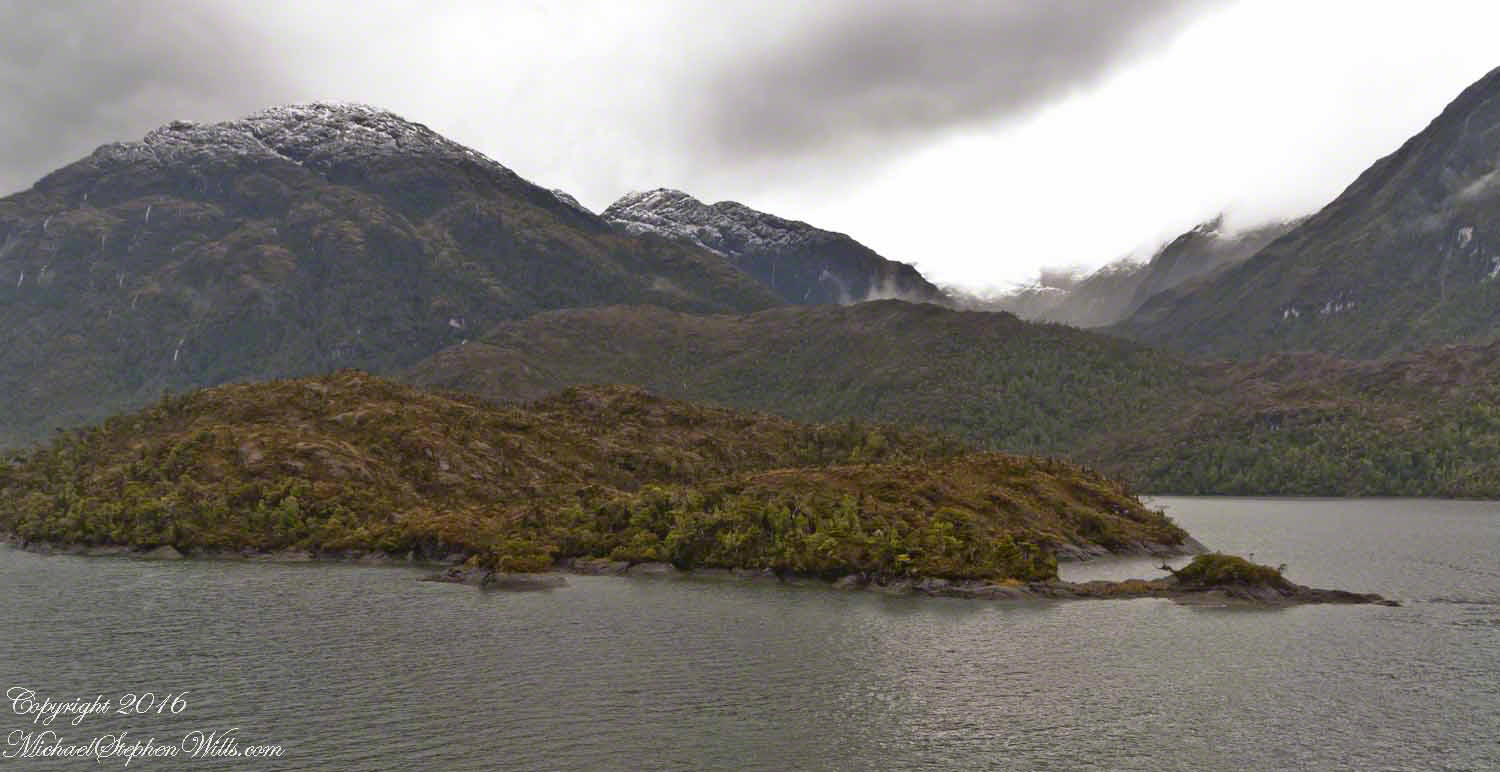
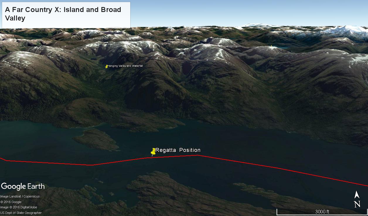
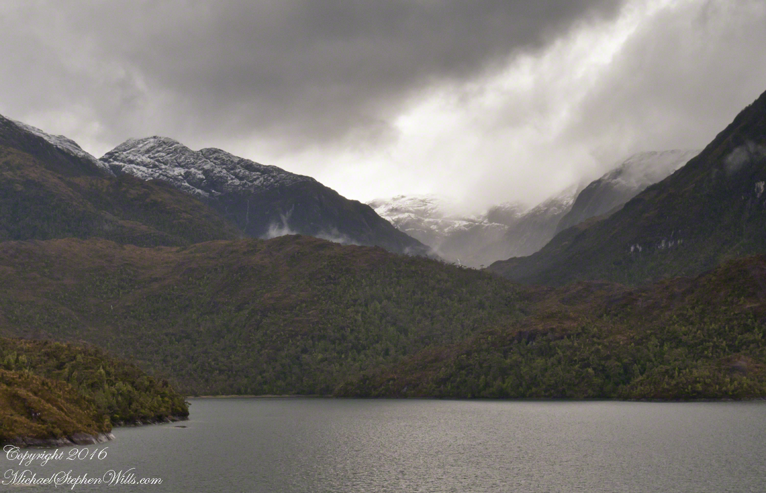
The valley today’s posting lies behind the tree. It is a broad valley shaped by ancient glaciers.
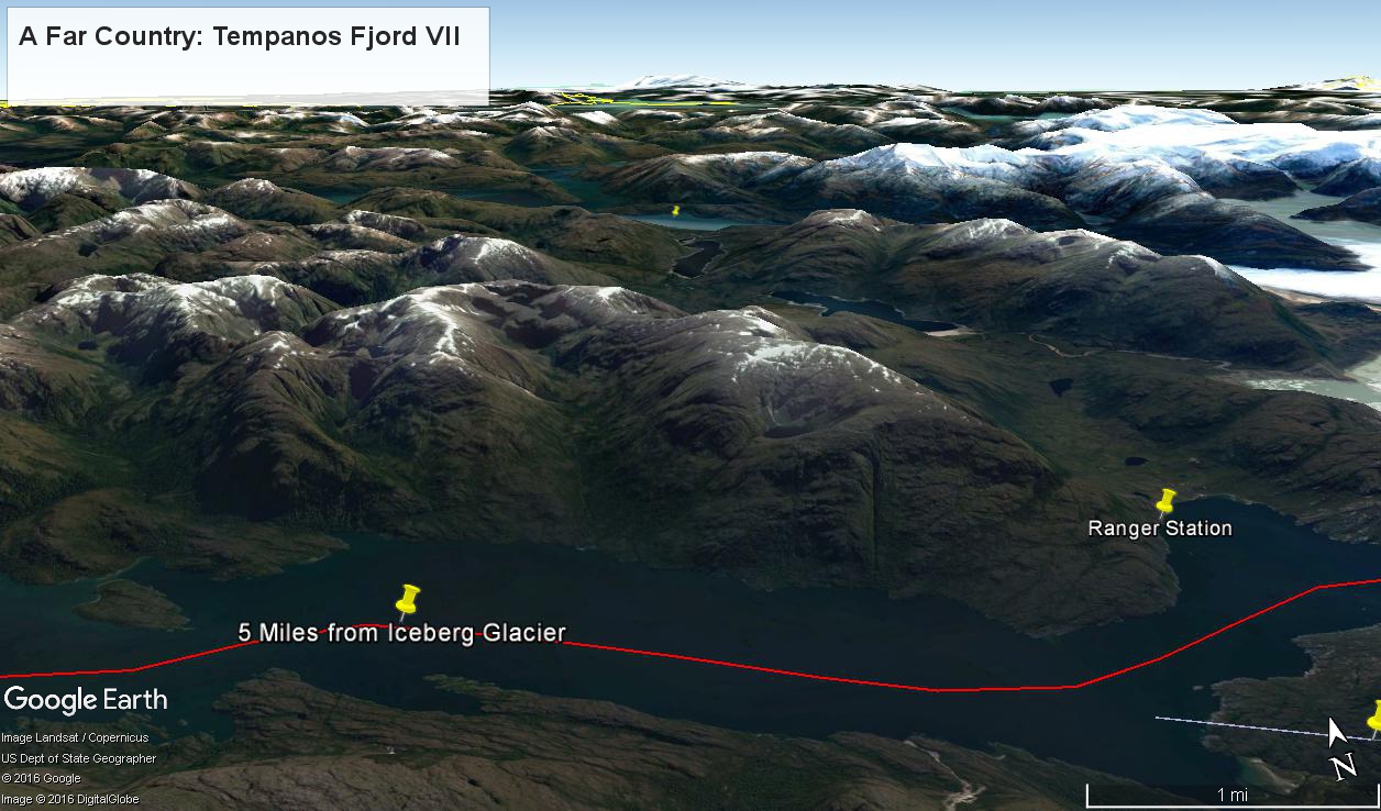
Here is the Google Earth view, from an elevation of 9,400 feet, with the ship position marked. Northwest is a pushpin titled, “Hanging Valley and Waterfall.”
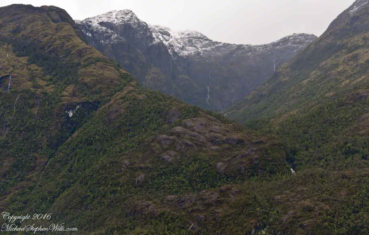
The waterfall marking the hanging valley is visible in the following photograph. All photographs in this posting are from a Canon EOS-1Ds MarkIII, 24 mm lens (see above for complete name), on a Manfrotto travel tripod. ISO 500, f5.6 or f6.3.
With a point of view about 50 feet above the water the valley bottom is hidden behind an 800 foot hill and the water fall is just above the hill. See it? …..I didn’t think so.
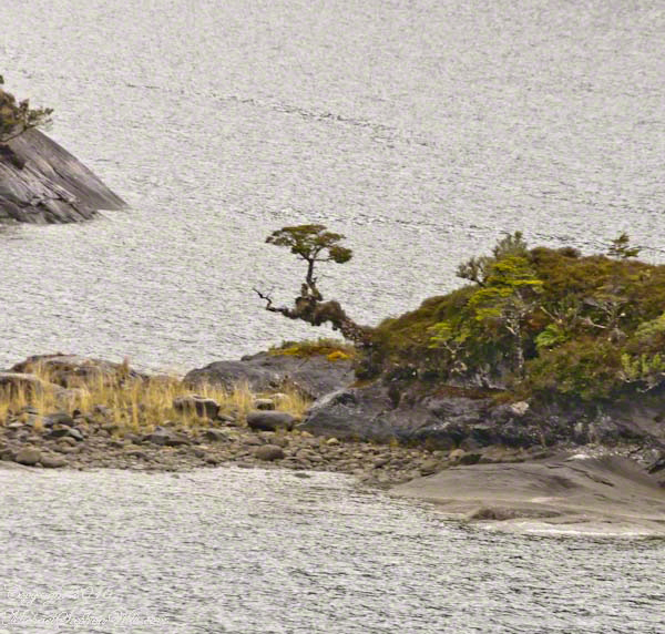
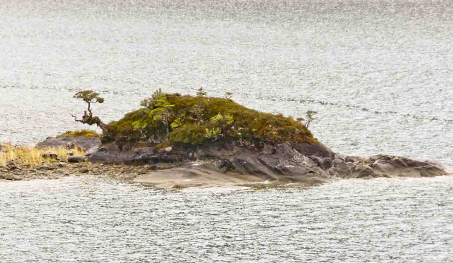
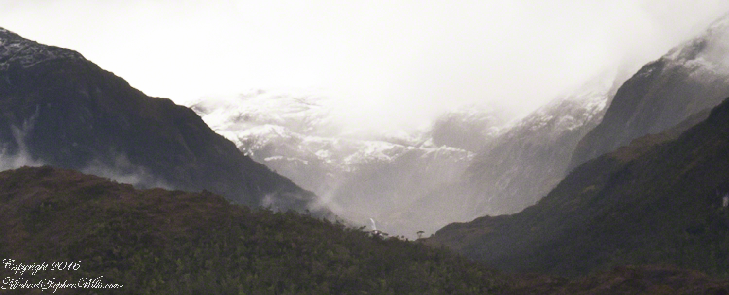
There is the island with the tree, to the left. The following image is the same photograph, with the central section enlarged.
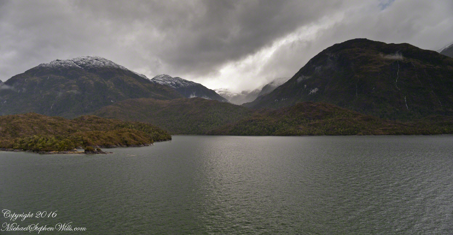
The enlargement brings out the play of light, the low clouds, deep in the valley. To provide scale, know those are full sized pines on the hillside, foreground. The waterfall is just about visible. I will enlarge the image one more time.
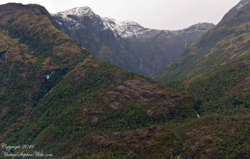
There it is!! I stepped up contrast, as well.
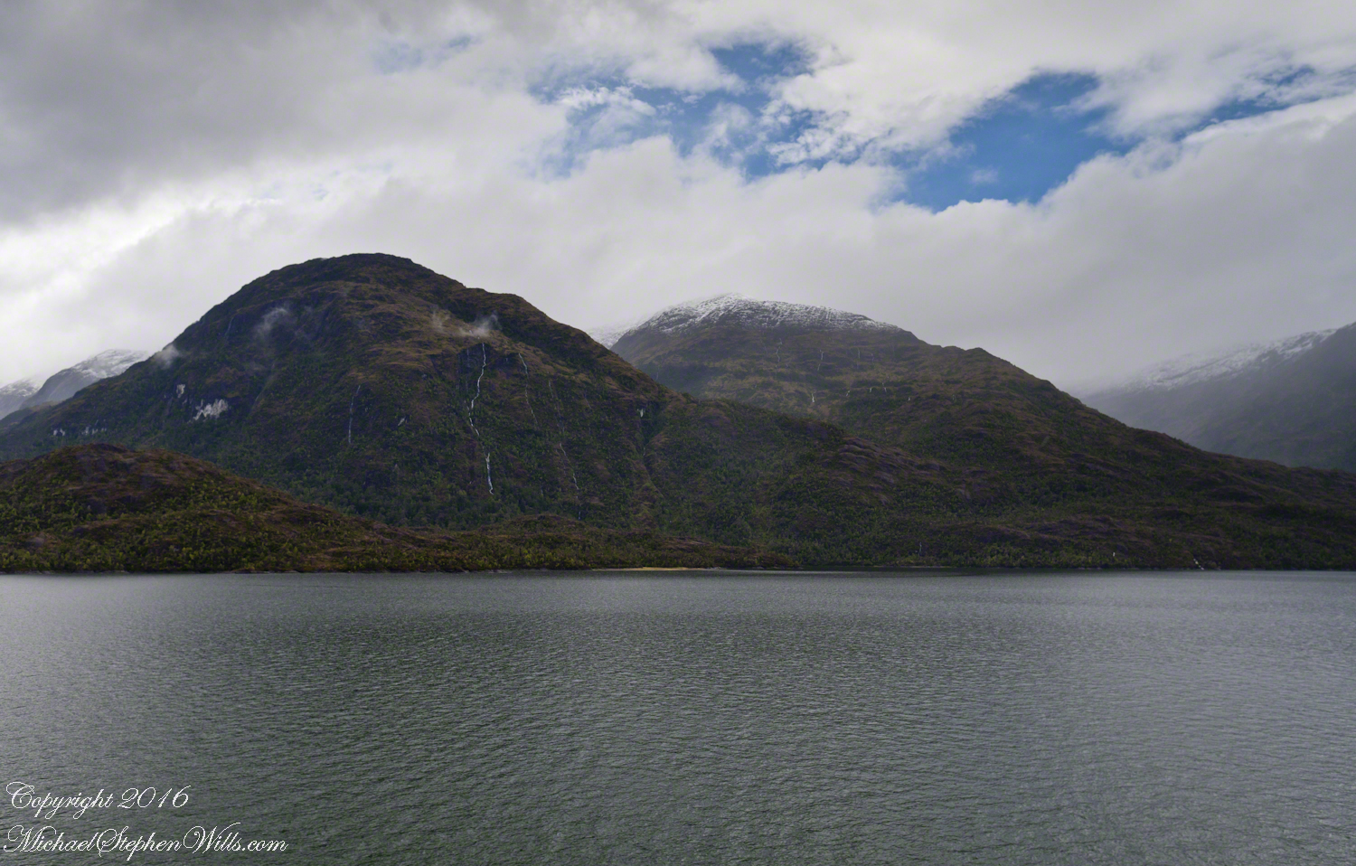
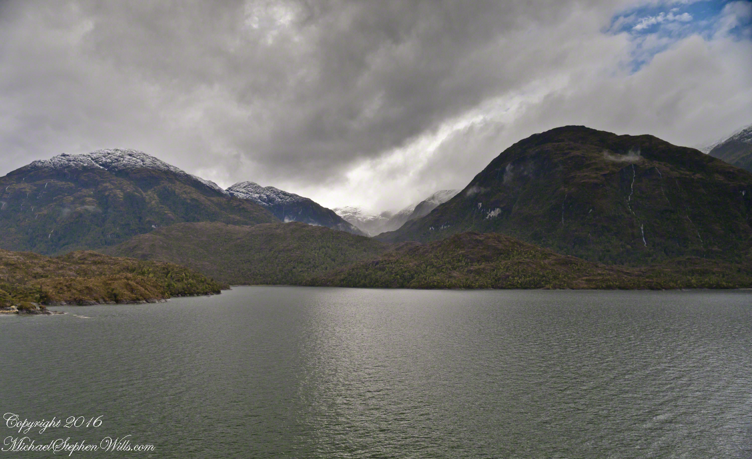
Here is another version of the original view. That patch of sky had opened up seconds after the first shot and, as a result, the 3,000 door mountain and waterfalls, on right, are better lit. Notice the bare rock face on the mountain slope, marking a landslide.
Click this image for a high resolution version, in your browser.
A different landslide Scar is featured in two previous blogs,
A Far Country V: Landslides!!
A Far Country VI: View of Tempanos Fjord
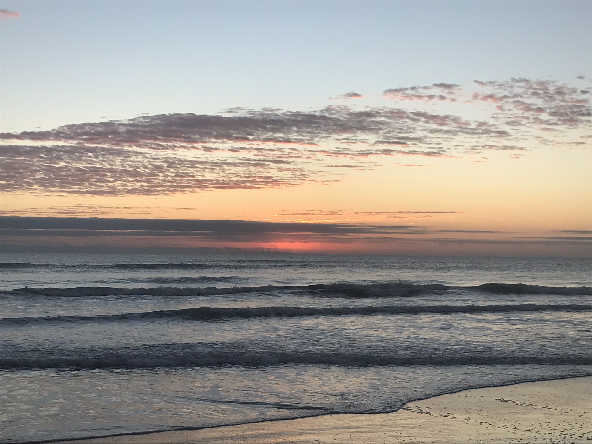
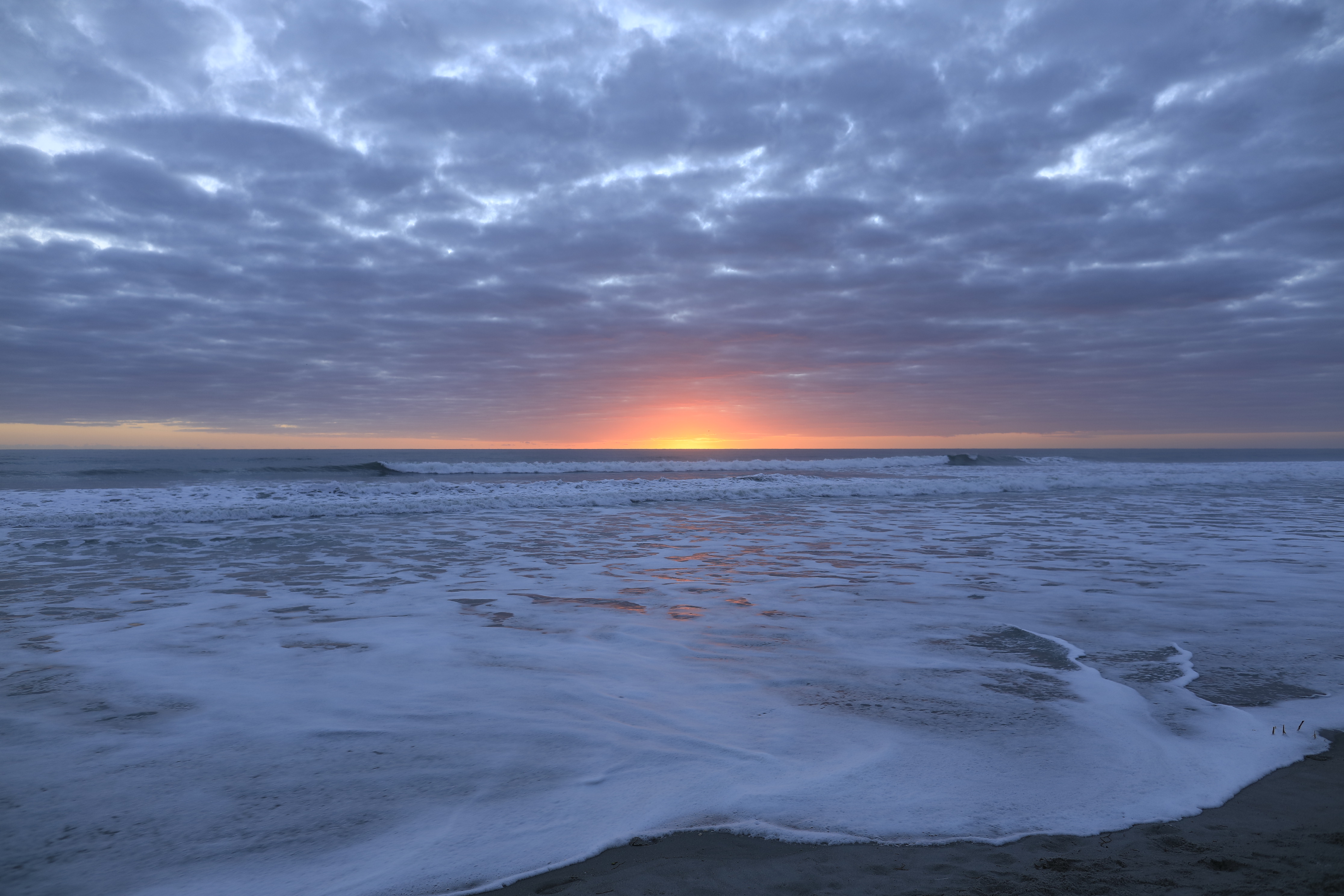
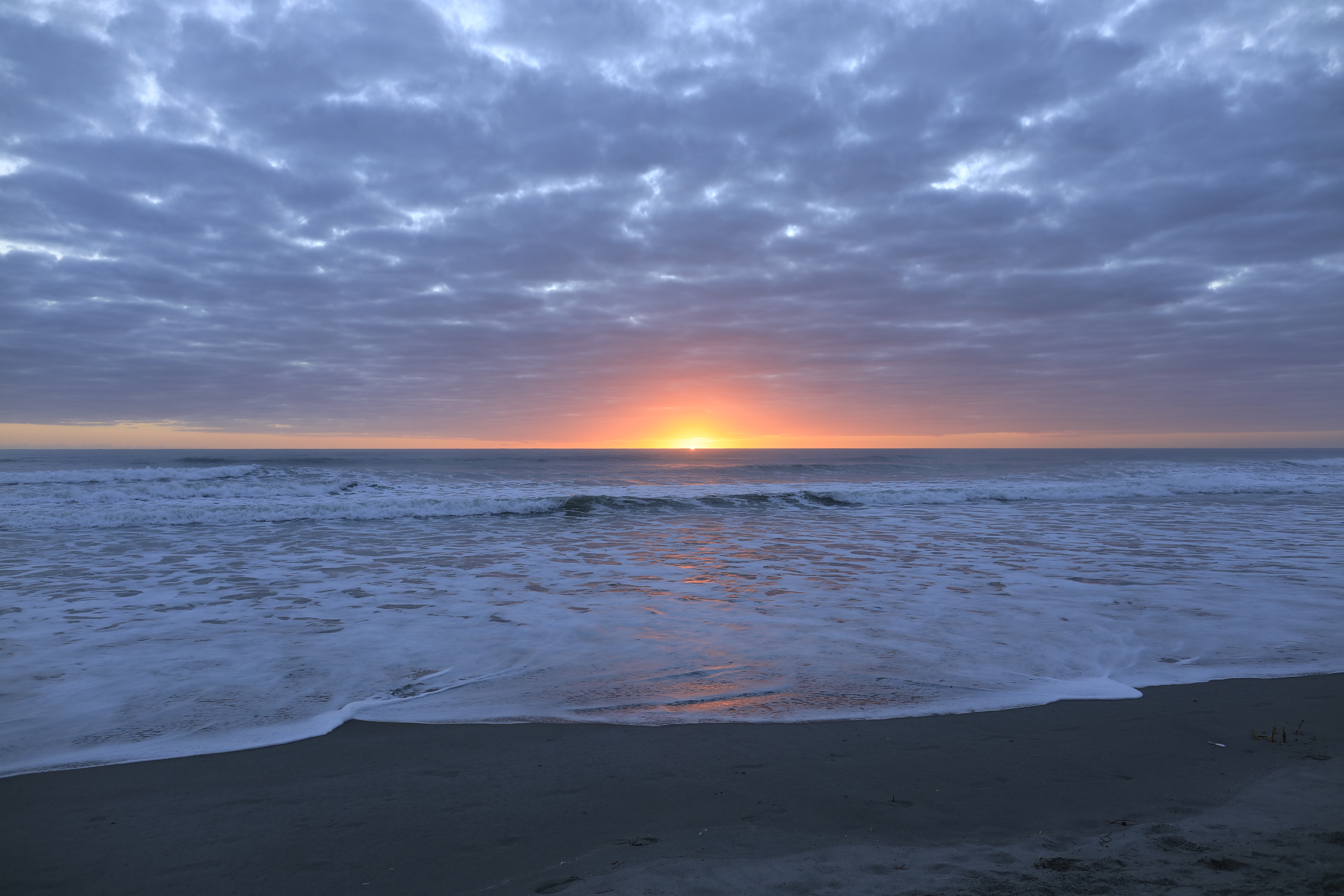
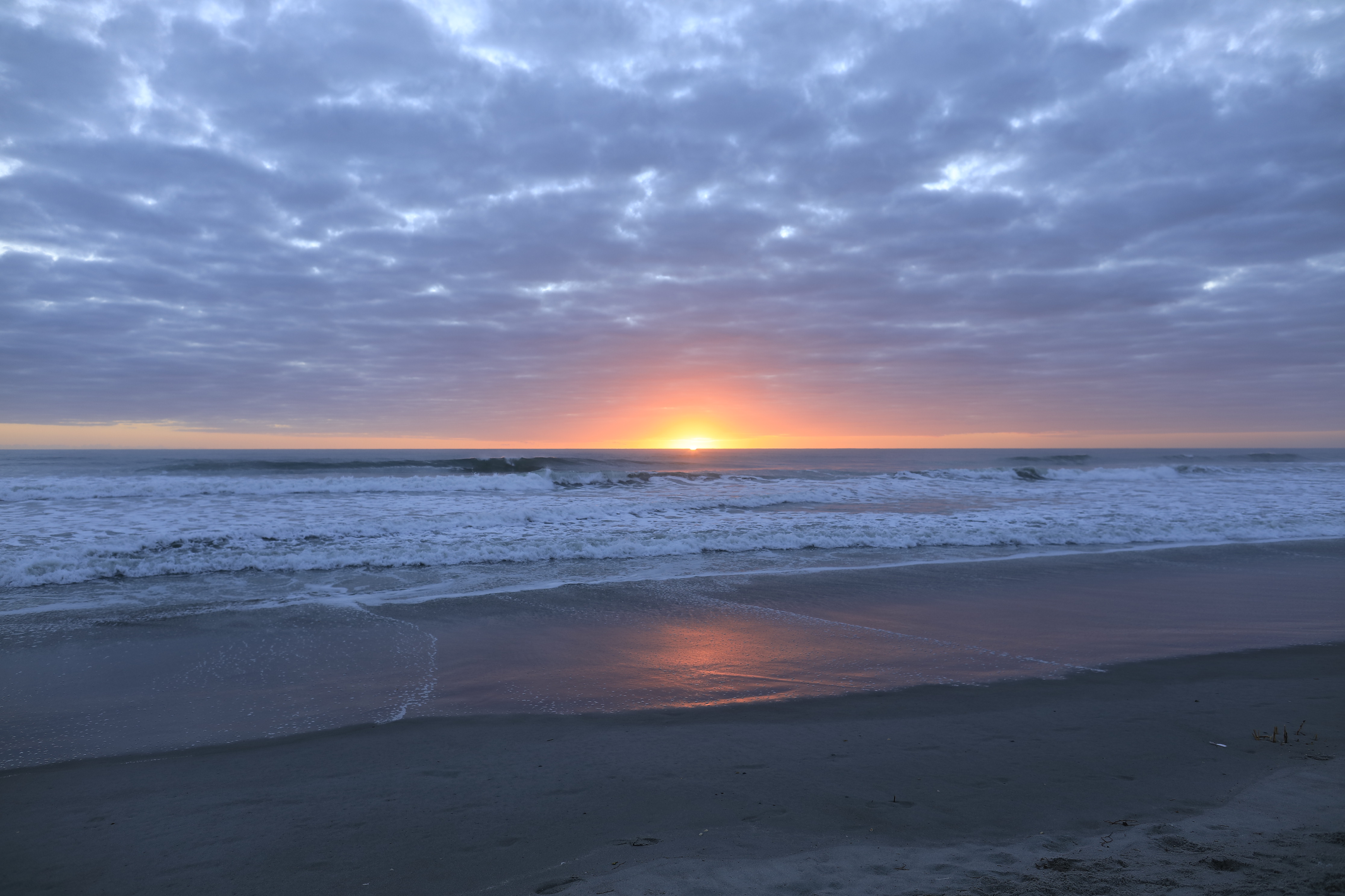
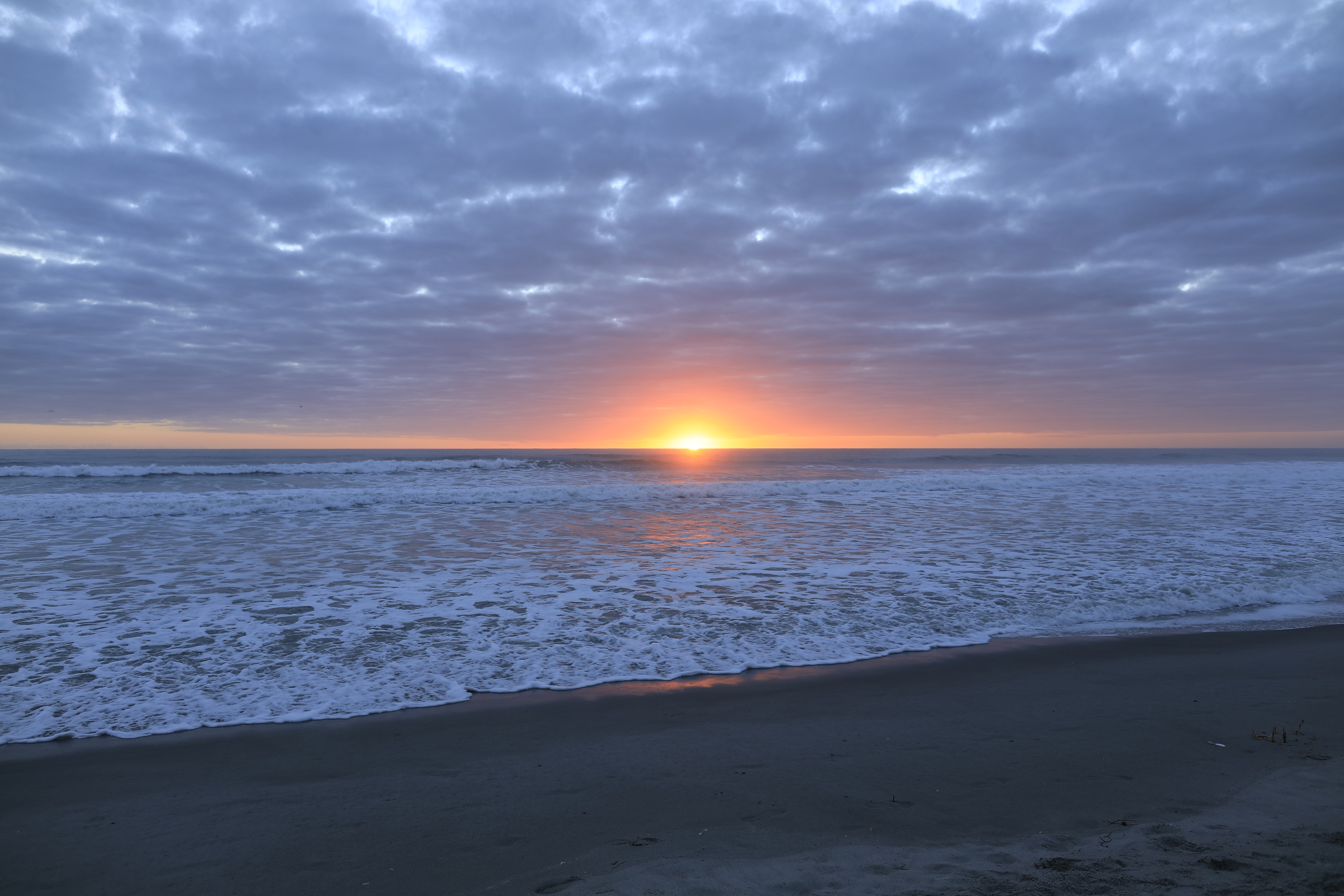
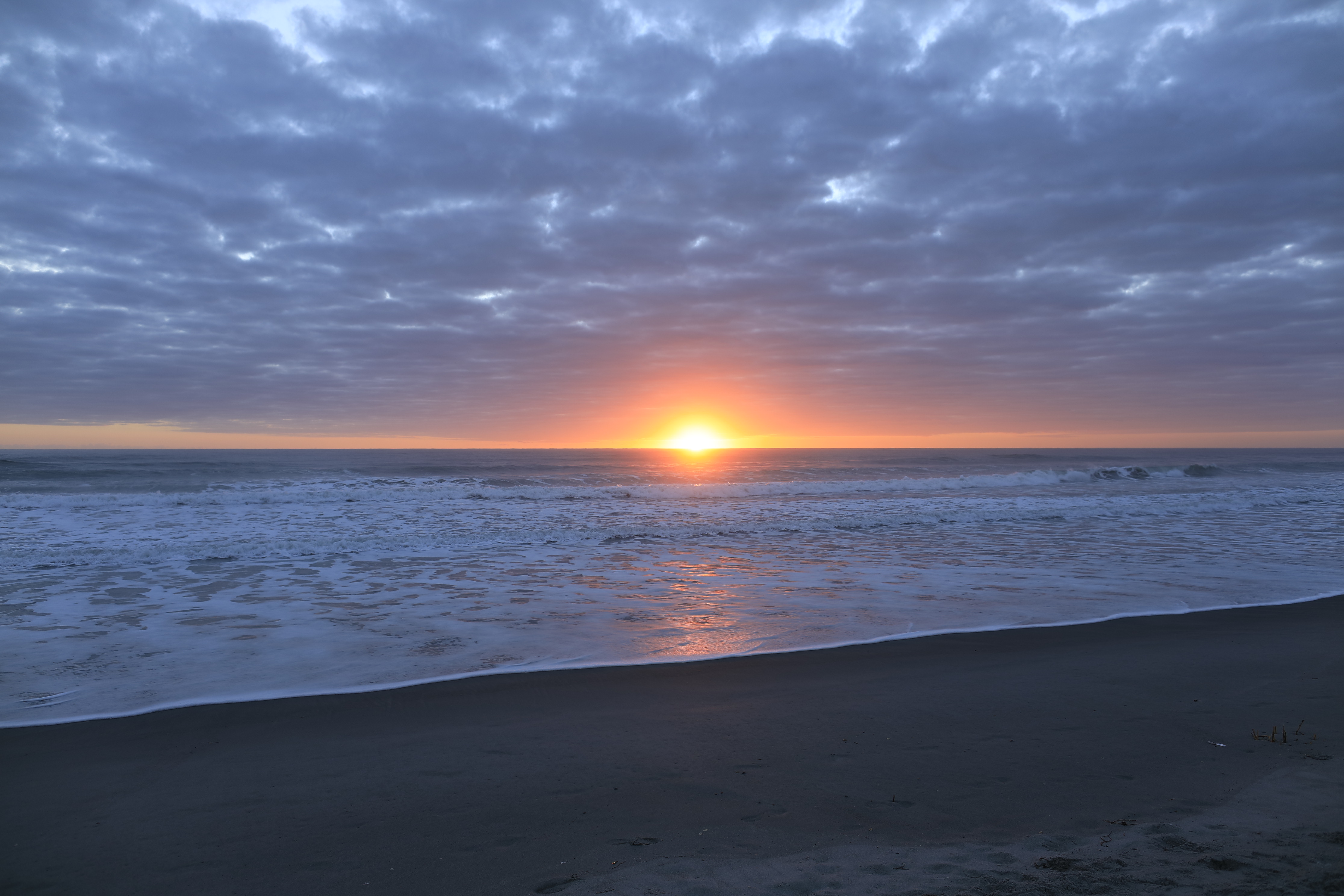
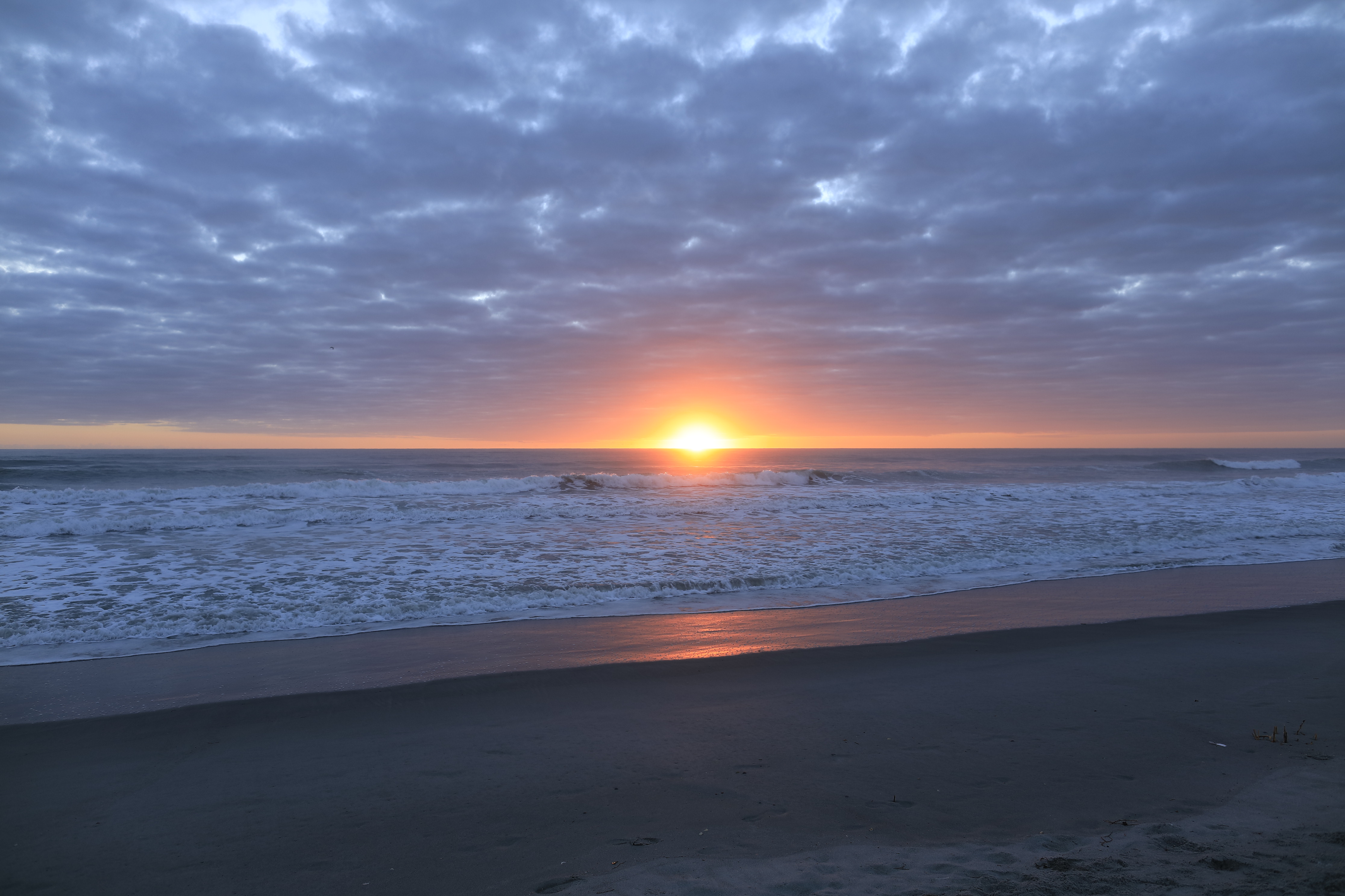
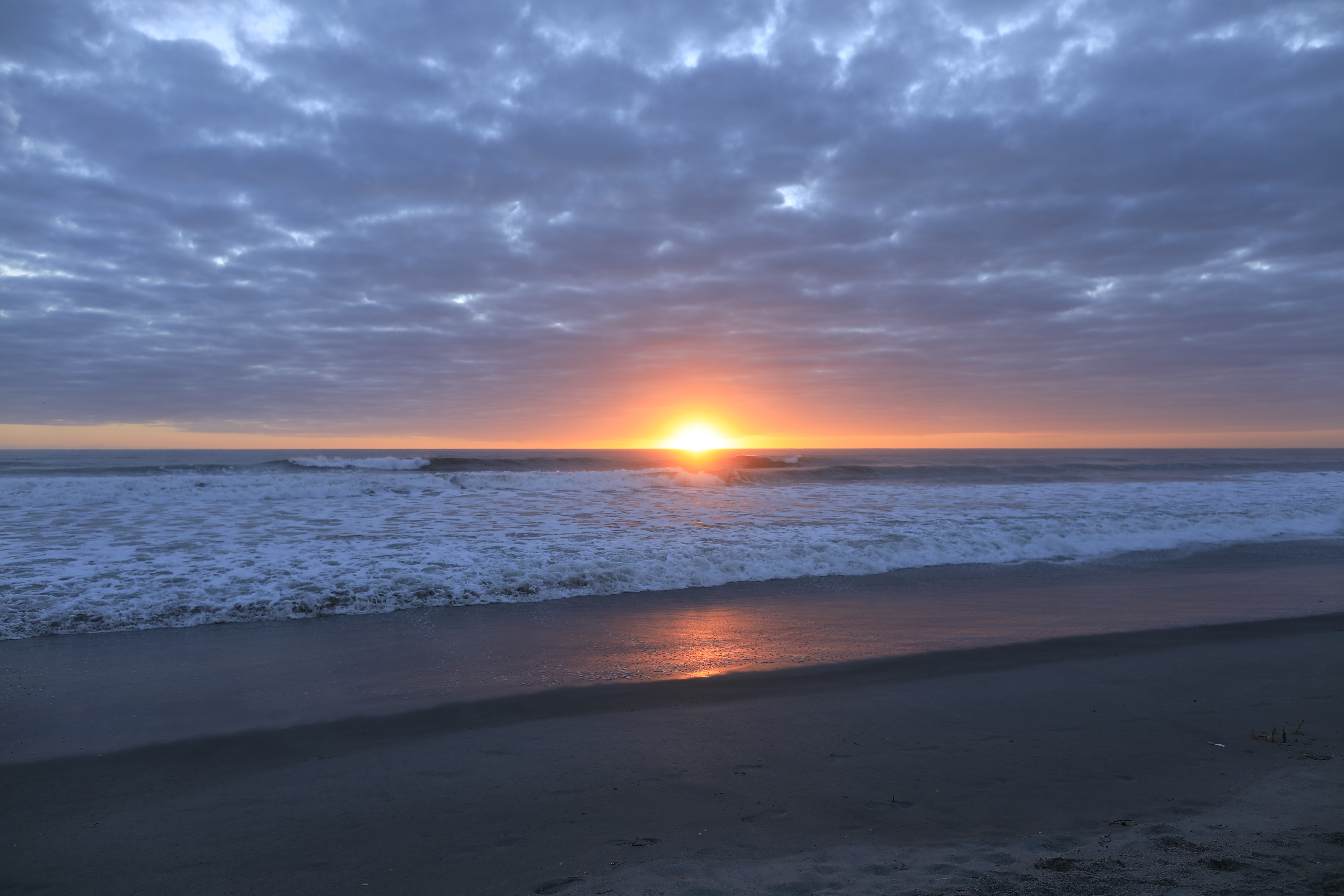
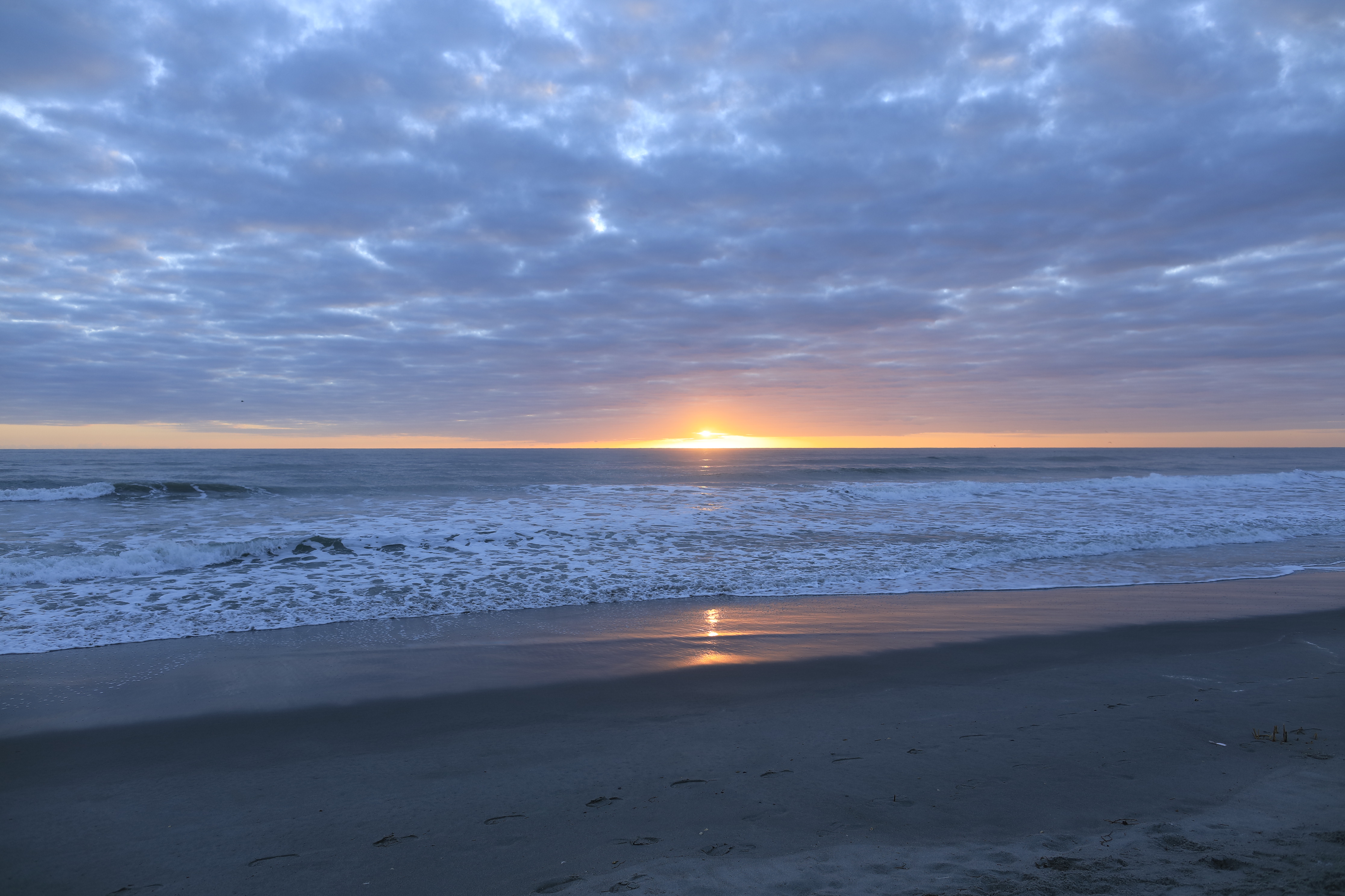
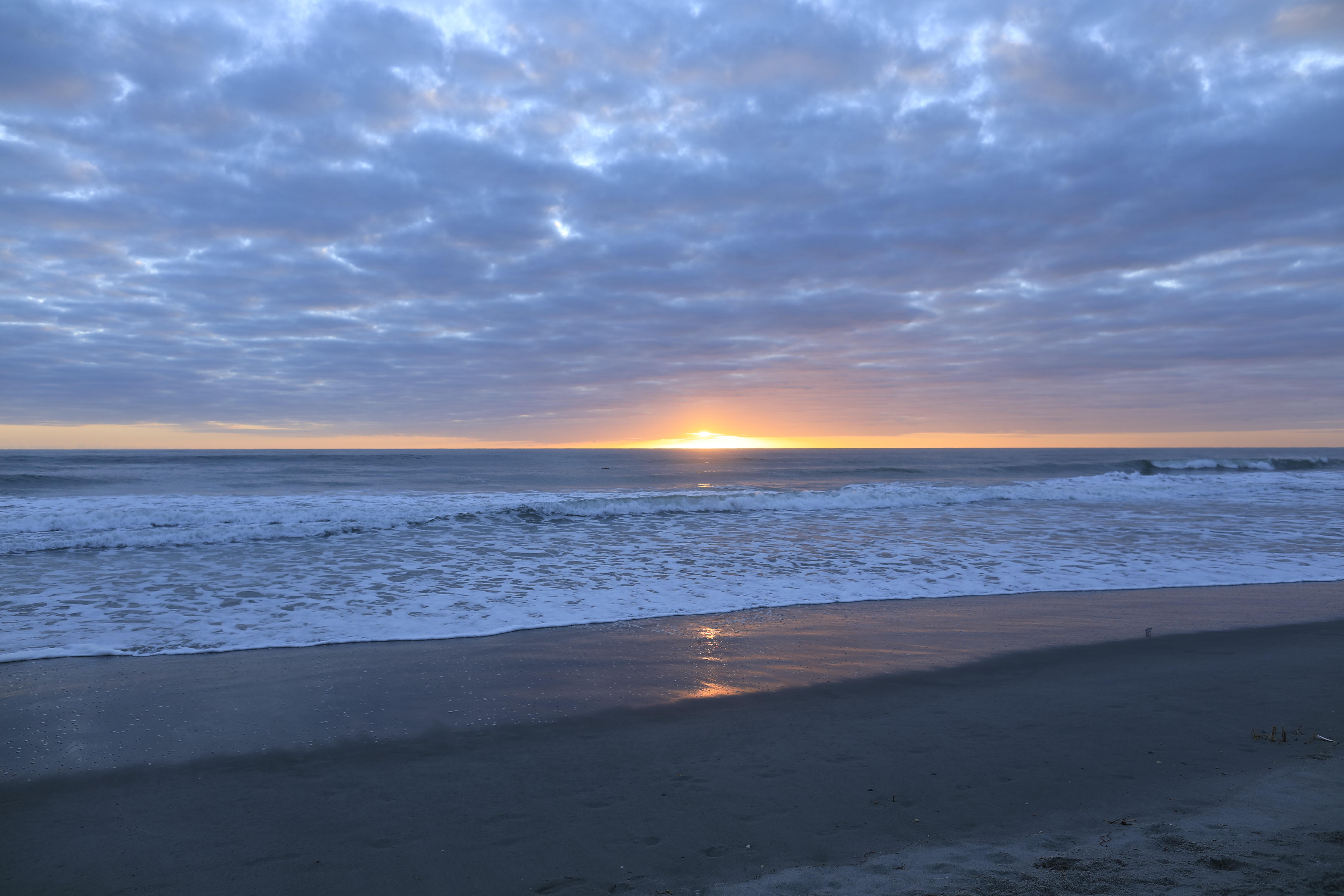
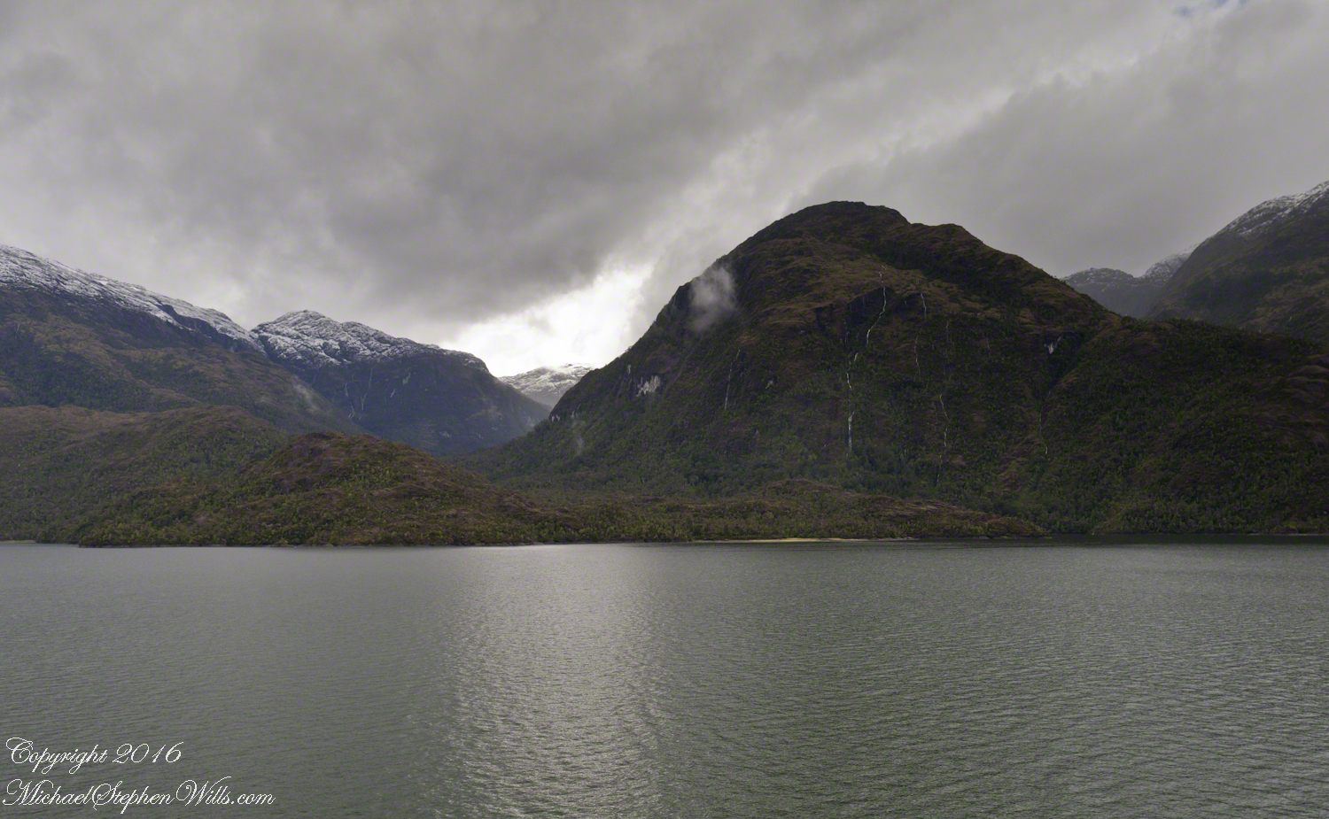
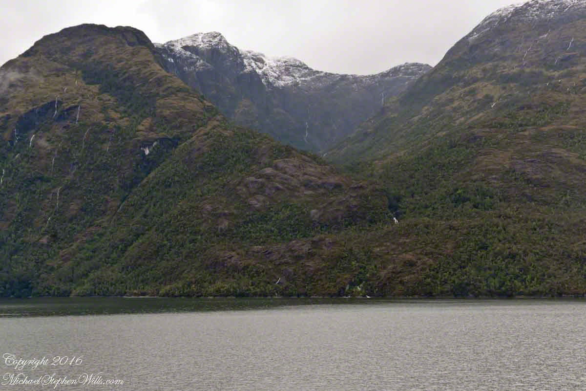
The Regatta’s course brought us closer for the two following shots.
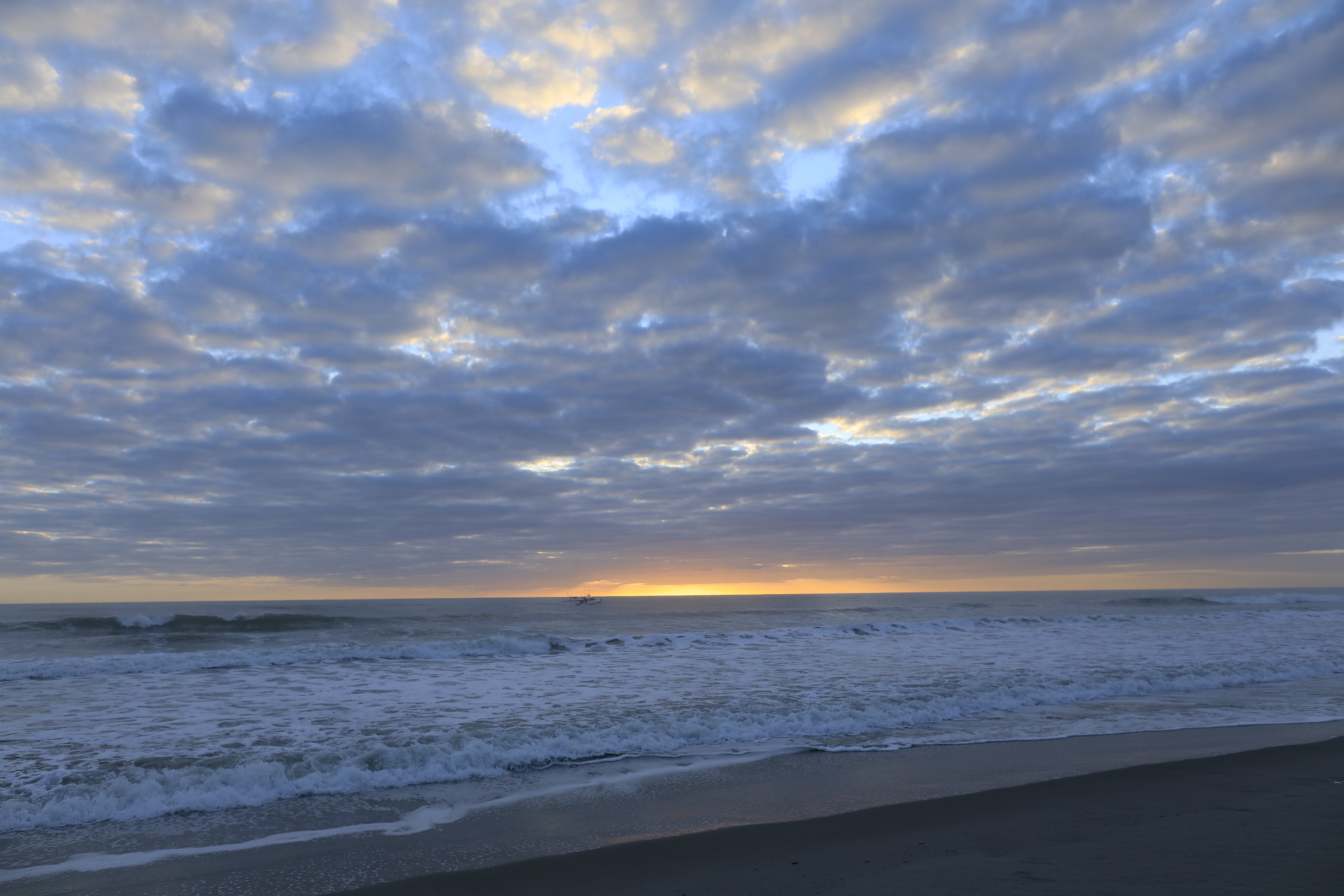
The lovely sky is still visible…..

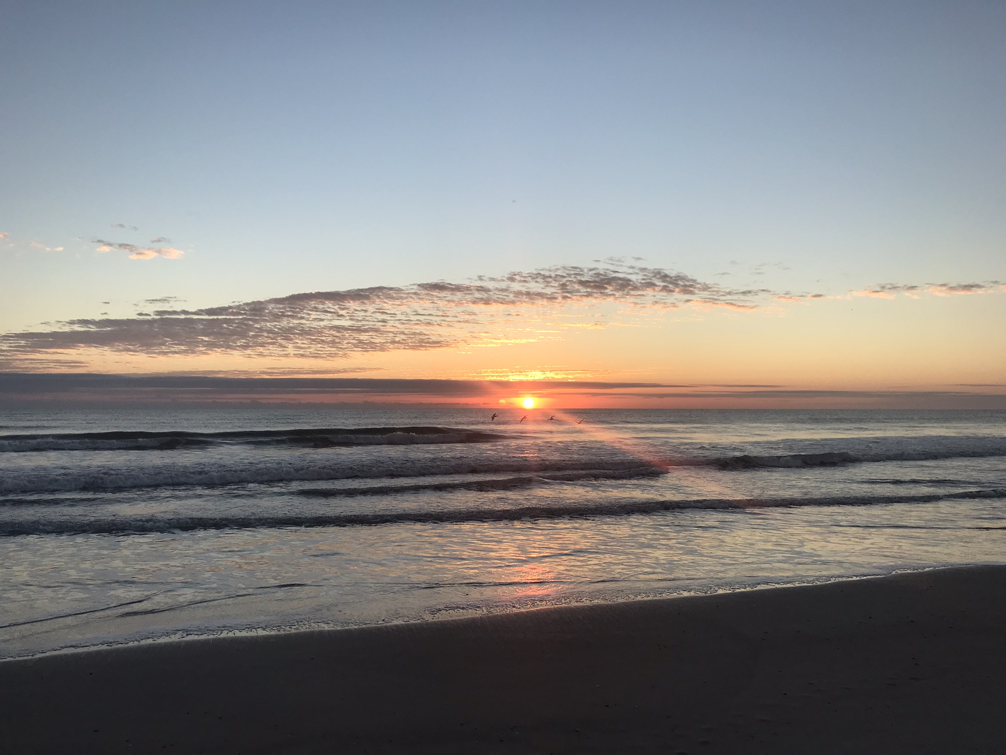
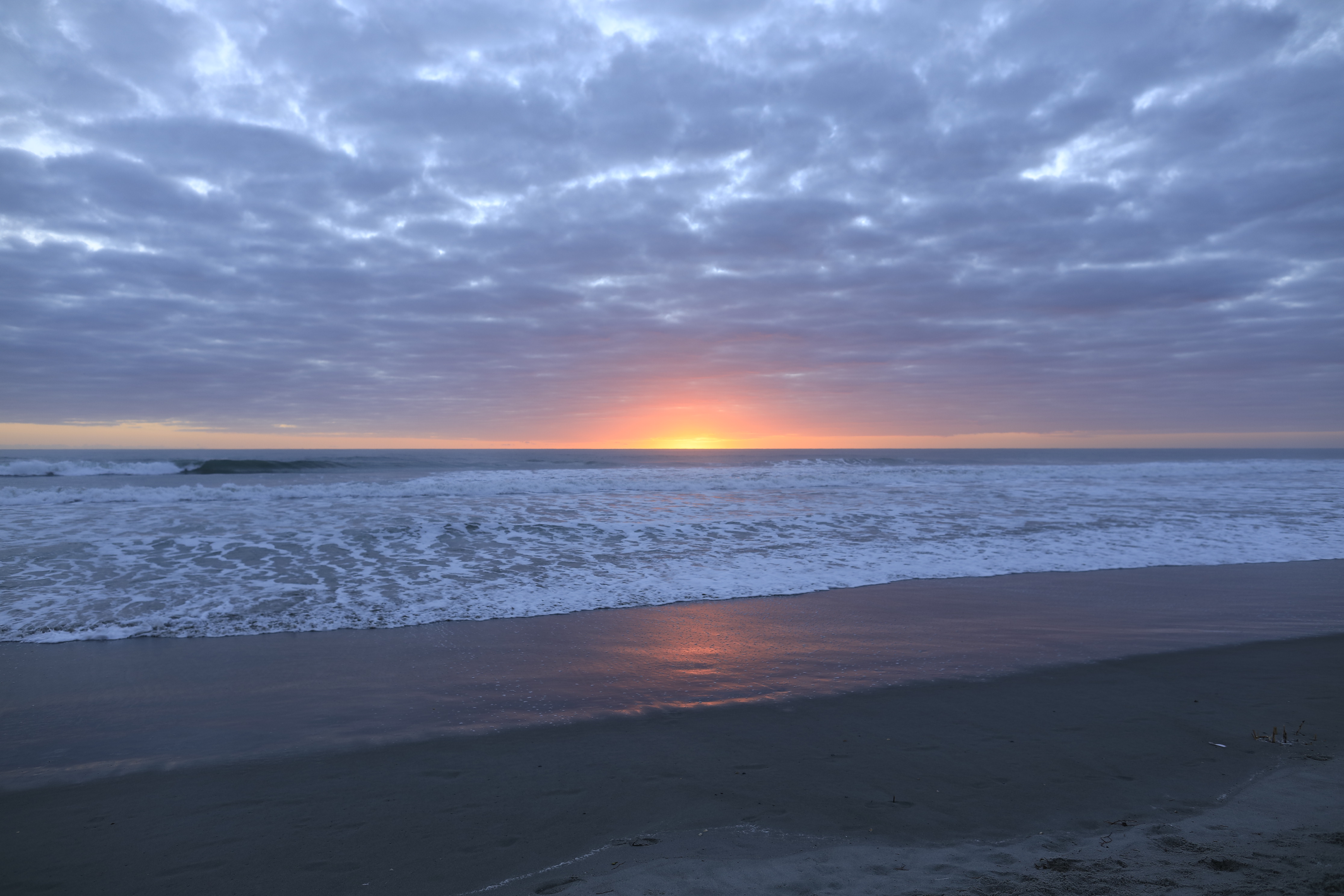
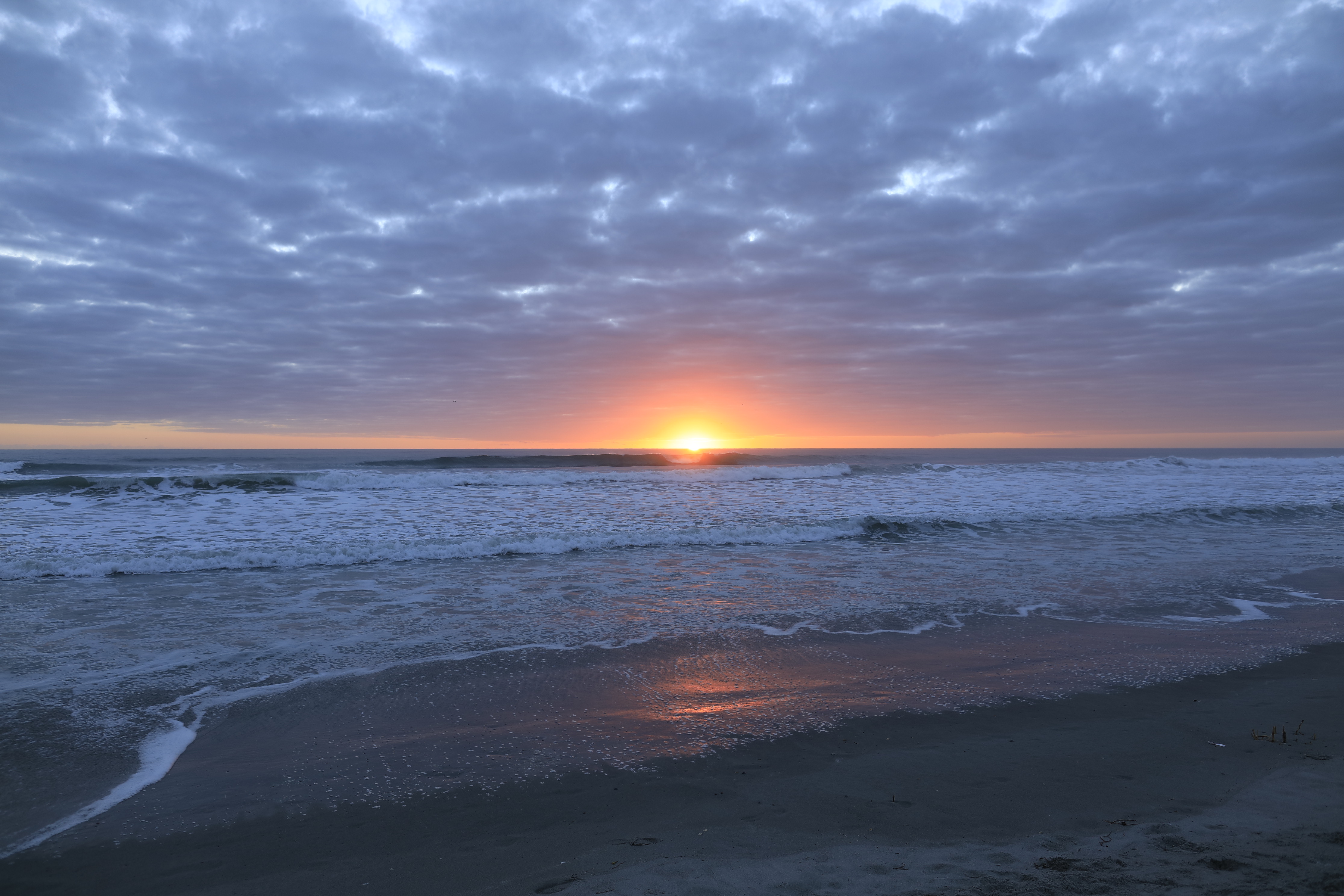
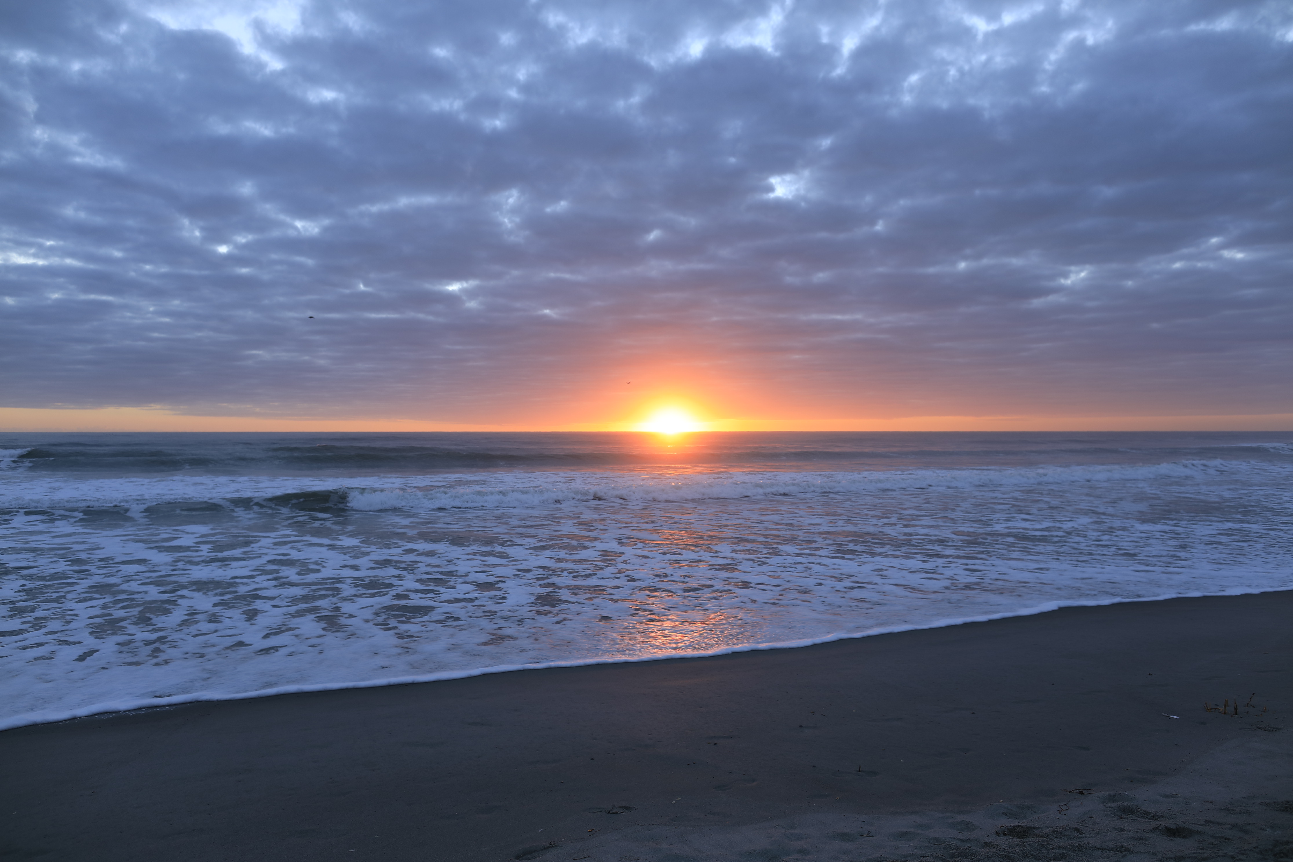
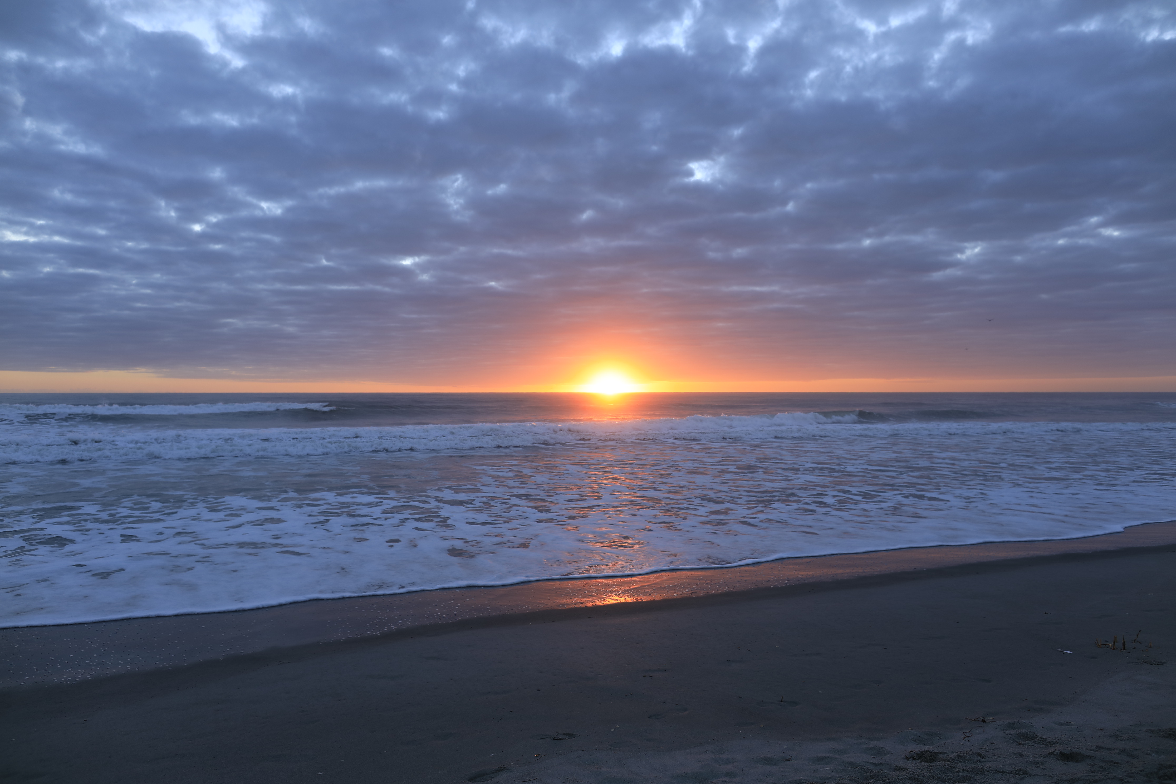
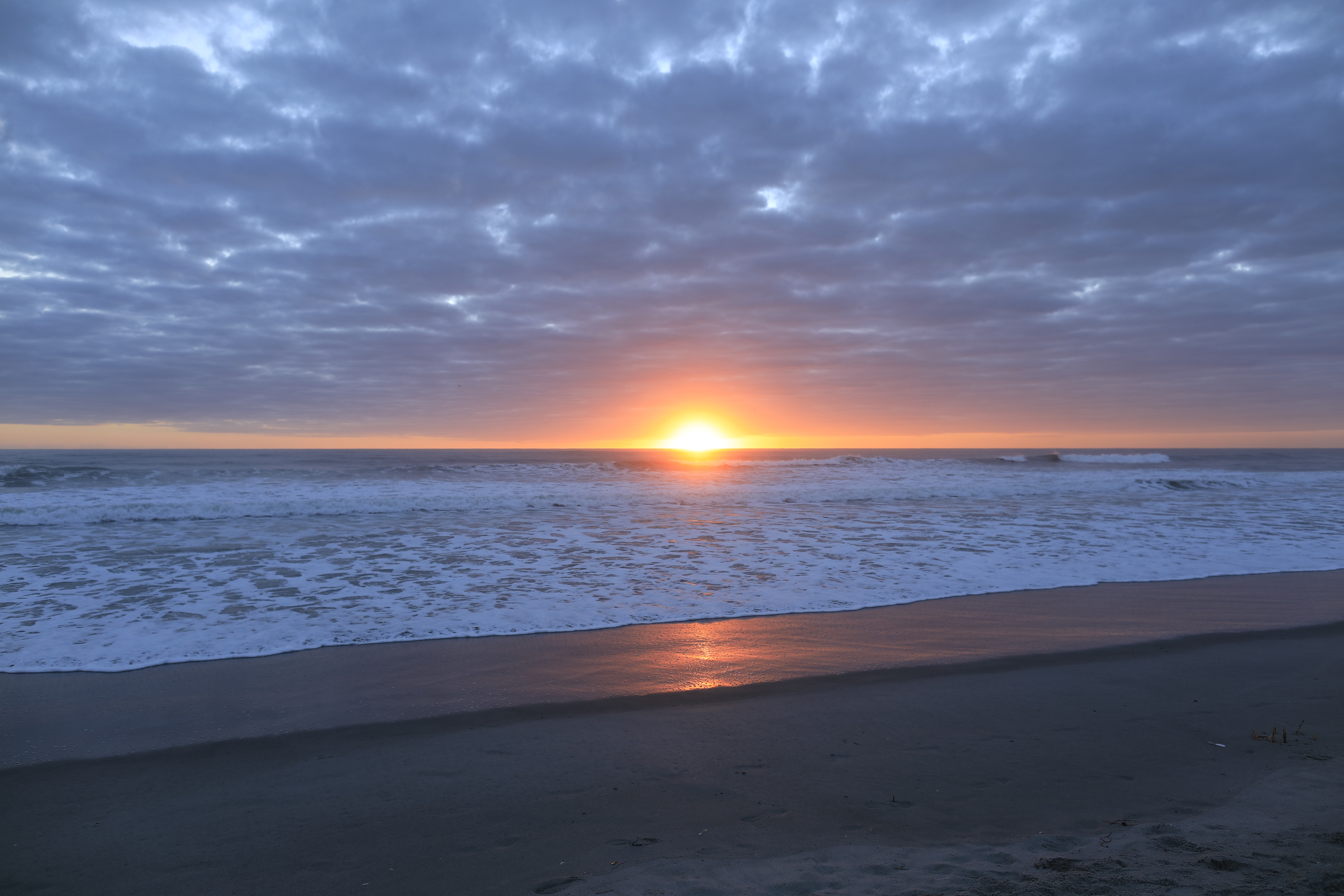
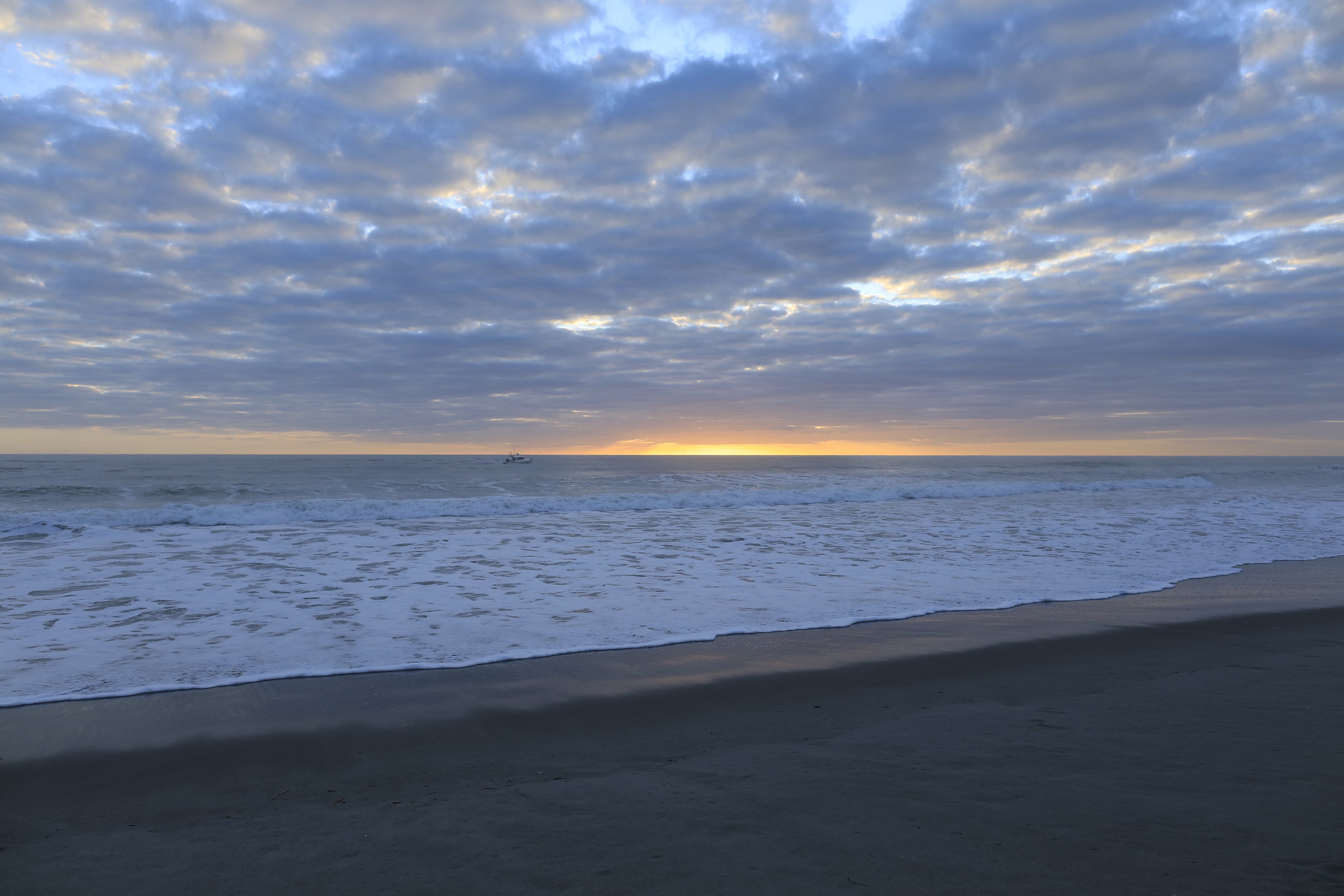
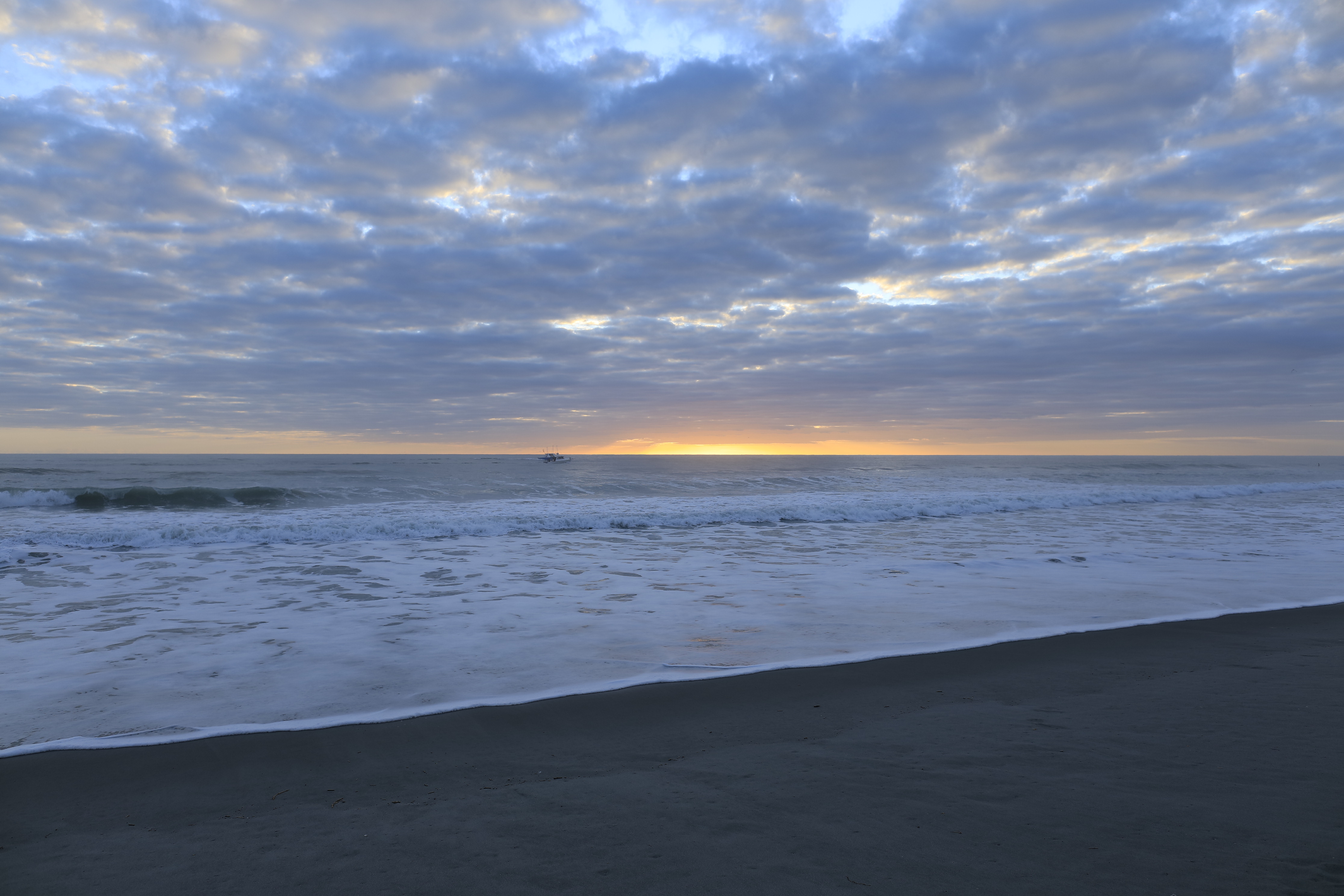
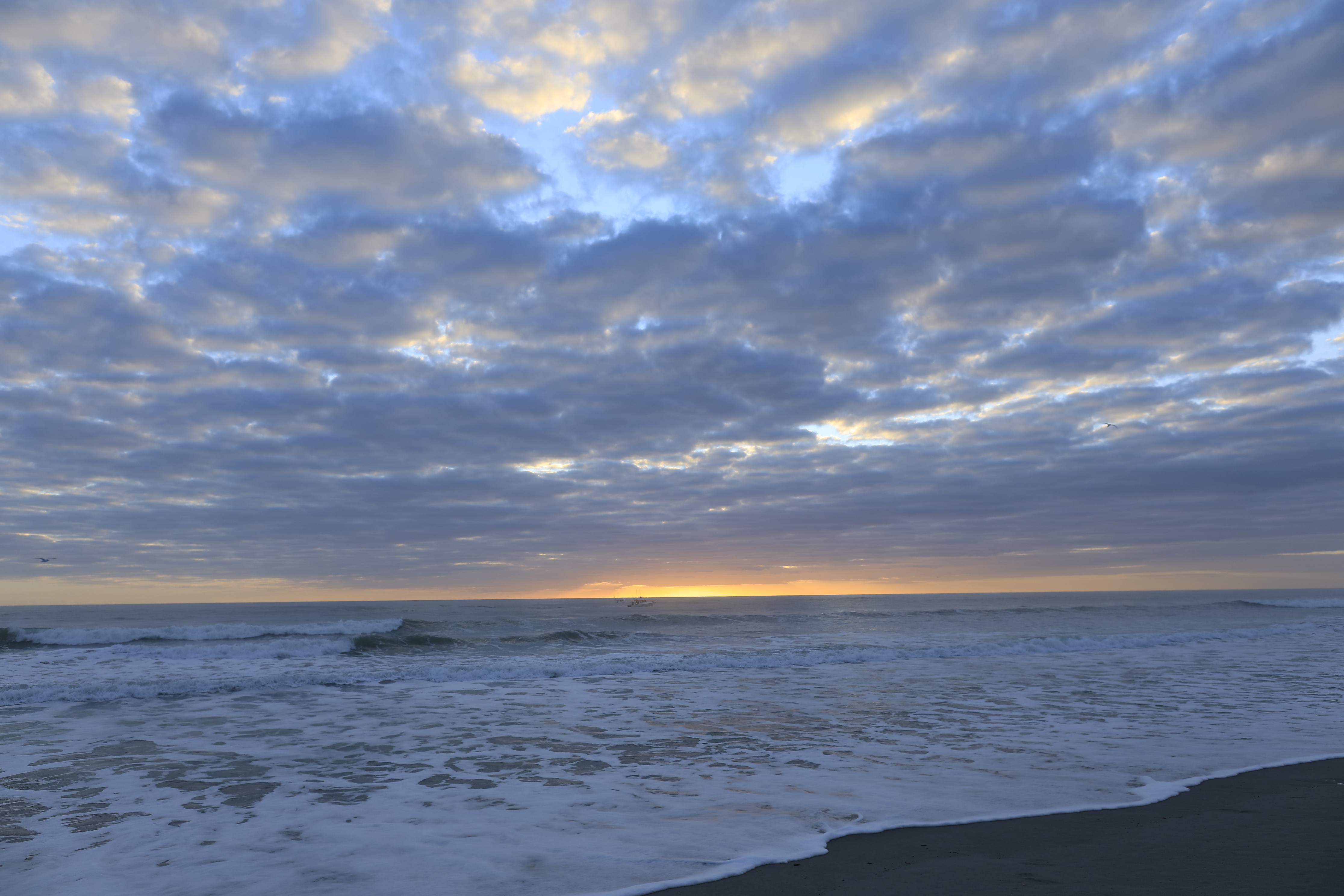
….one minute later the clouds gather and relative darkness returns.
(Click any photograph to visit my online gallery)
Copyright 2022 Michael Stephen Wills All Rights Reserved