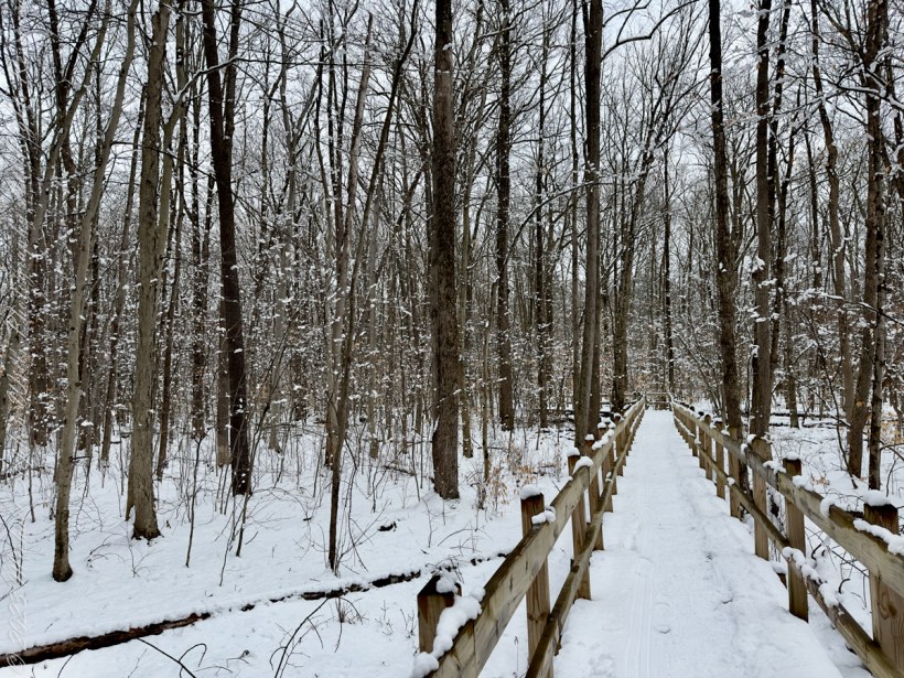
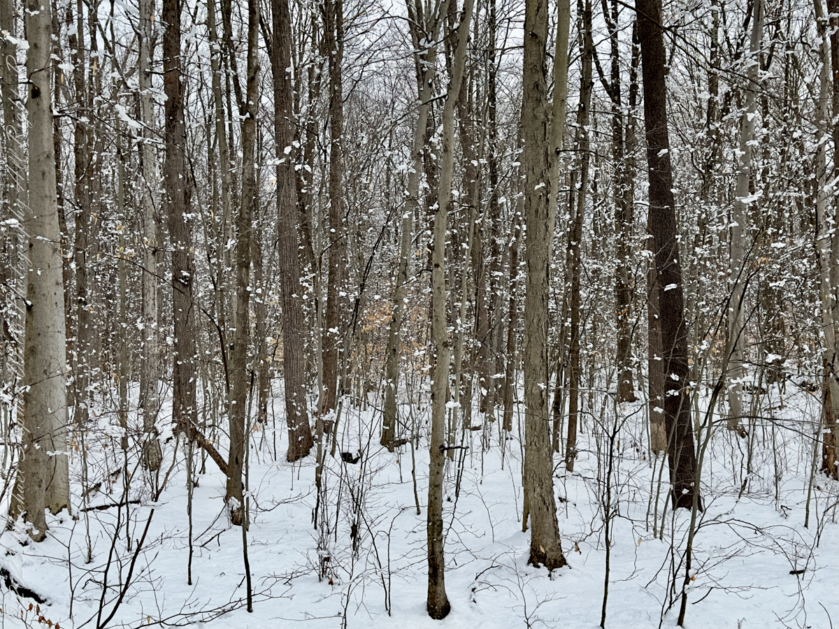
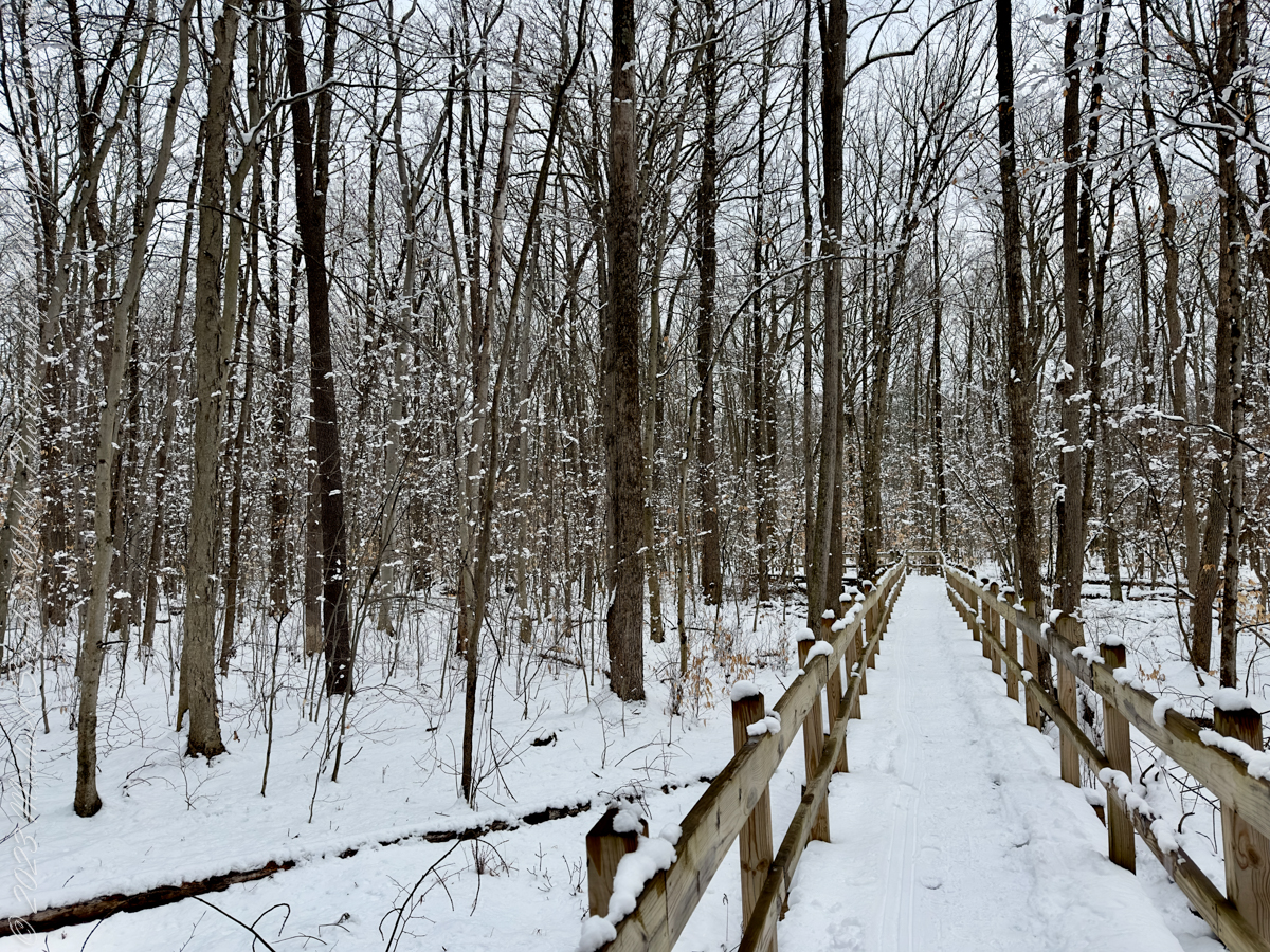
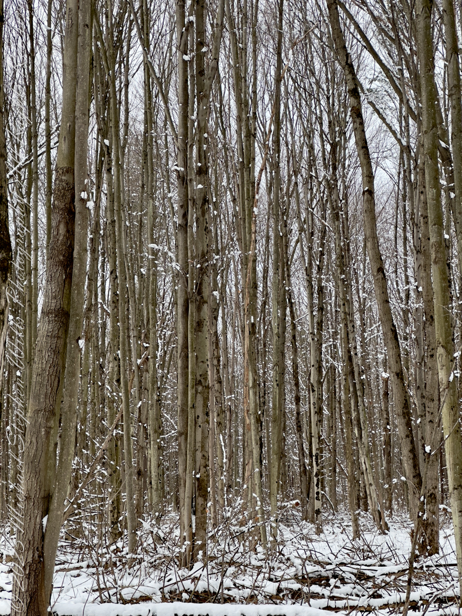
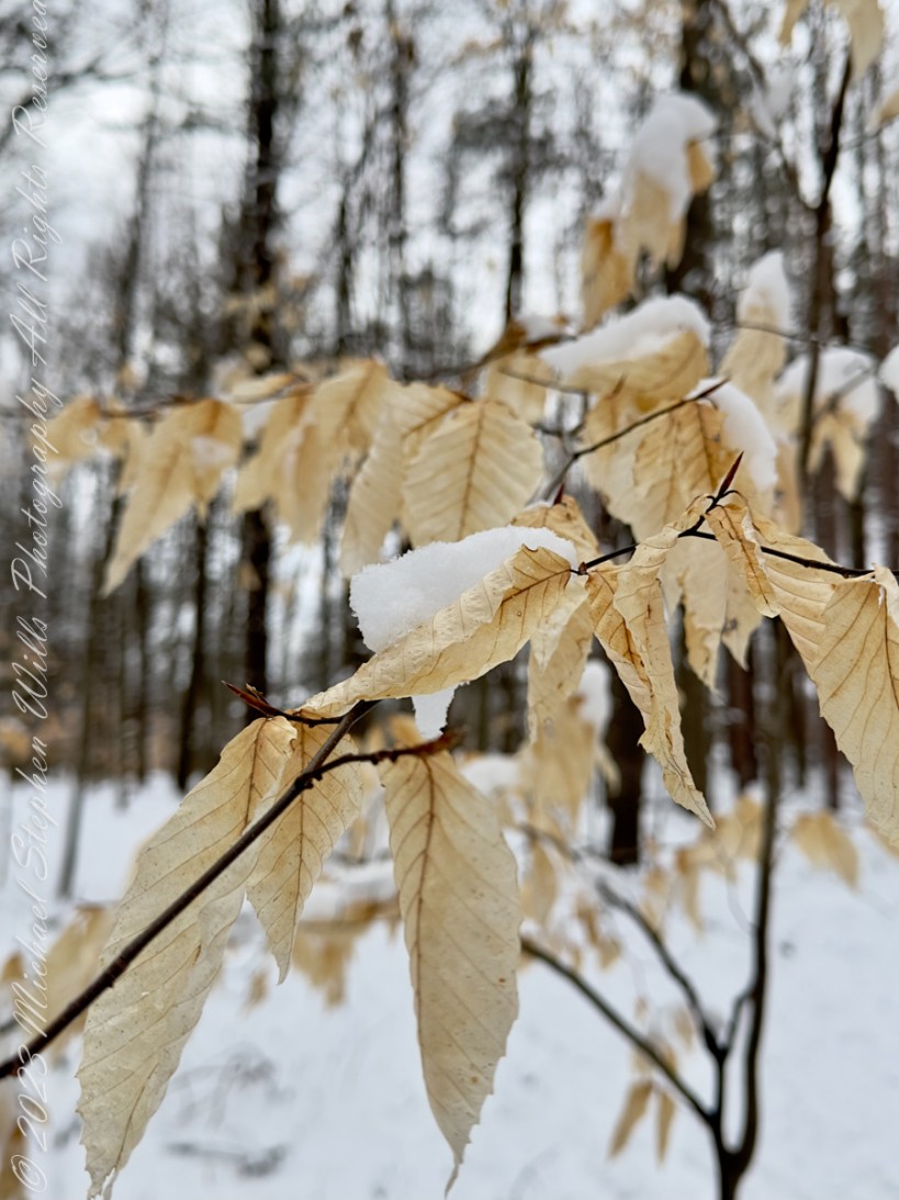
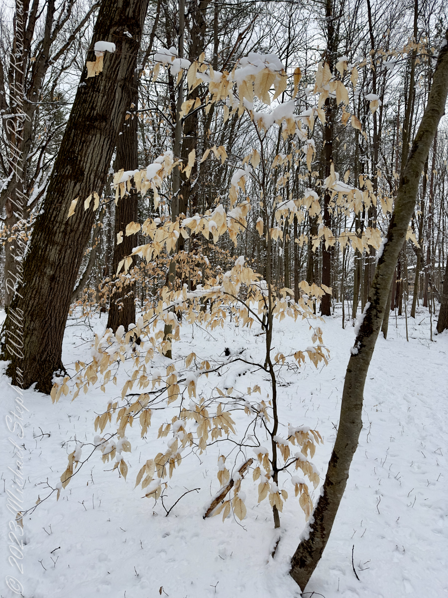
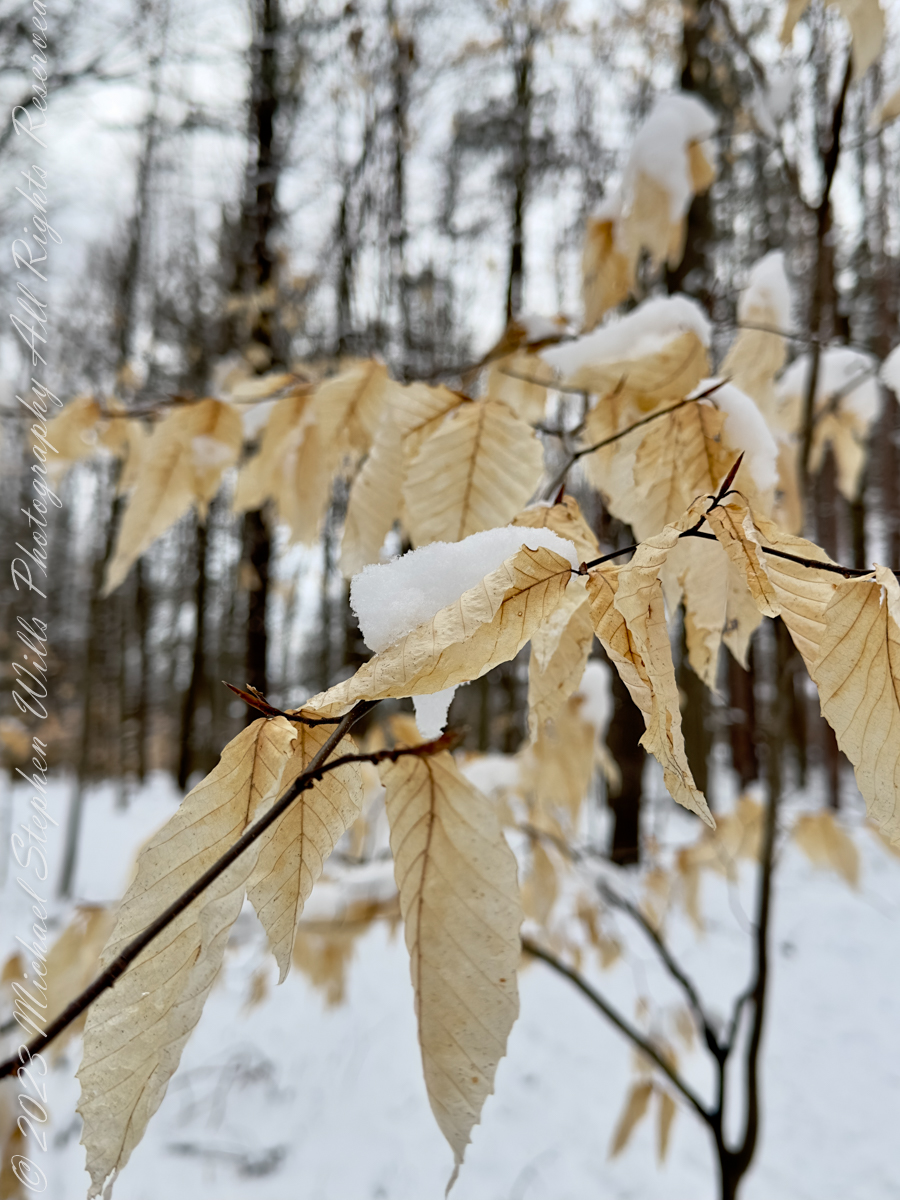
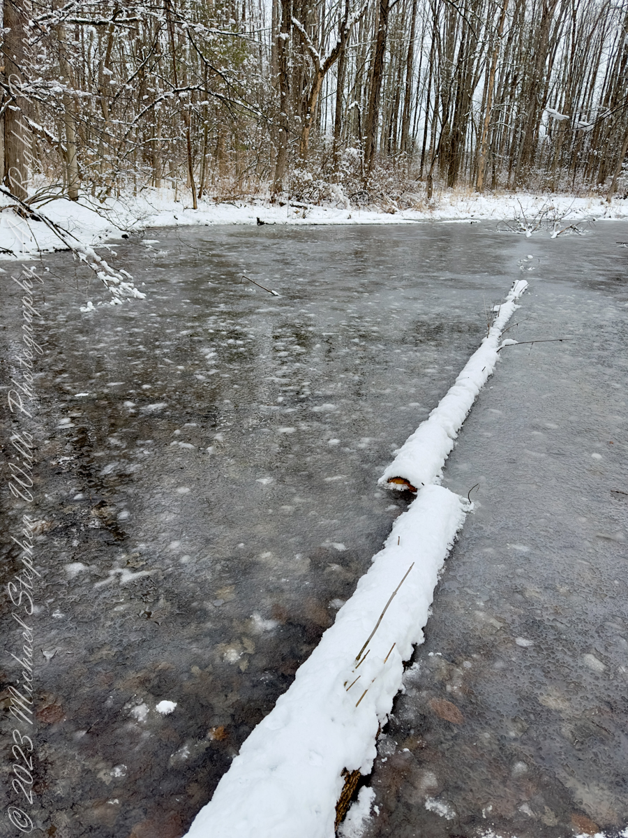
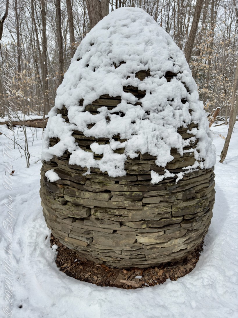
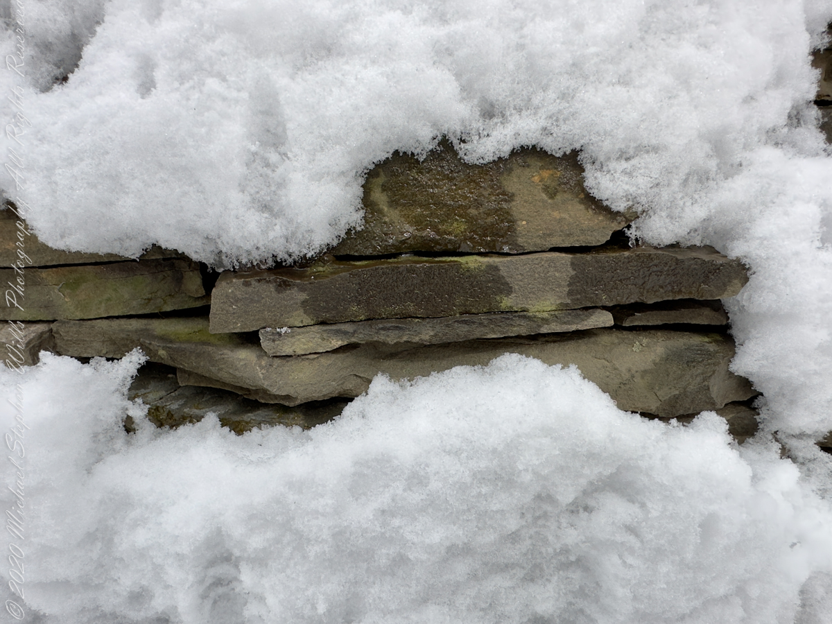
Found along the Hoyt-Pileated Trail, Sapsucker Woods, Sunday, March 12, 2023.
Text of plaque reads: Andy Goldsworthy; British, born 1956; “Sapsucker Cairn” (formerly New York Cone), 1995 – 2008; Llenroc and other local stone; Gift of Sirje Helder Gold and Michael O. Gold, rededicated in memory of their beloved son Maximilian Arnold Gold; Herbert F. Johnson Museum of Art.
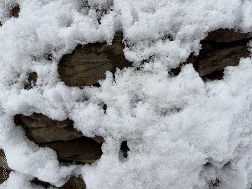
A sculpture transformed by a March snowfall. Notice how the stone, warmed by sunlight filtering through the leafless trees, melts surrounding snow.
Llenroc (Cornell spelled backwards) stone is a type of bluestone that is quarried in the Finger Lakes region of New York. It has a mix of blue-gray and rust color and is traditionally used on Cornell University’s campus. Llenroc is also the name of a Gothic revival villa built by Ezra Cornell, the founder of Cornell University.
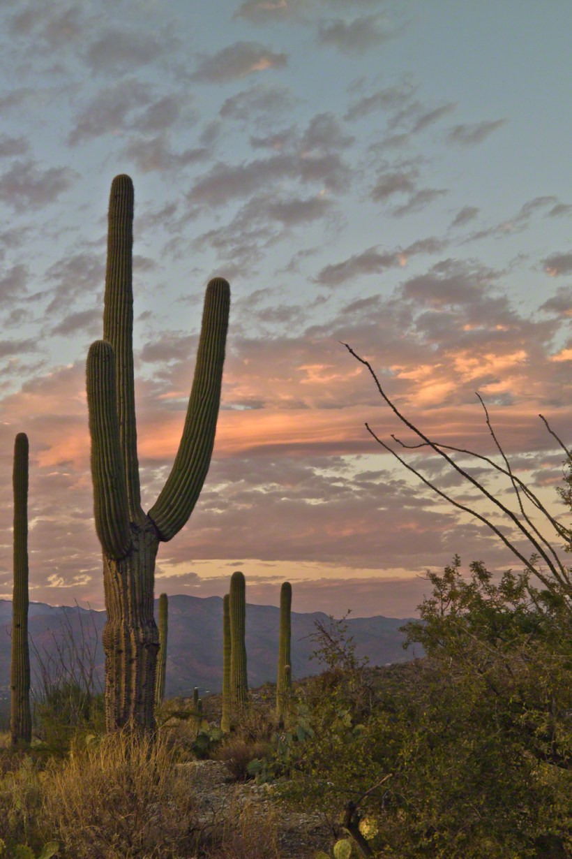
November is a special time for the ranges and basins of southern Arizona deserts. Climb a bajada of foothills, face west and wait for the sunset. That is what I did this day, November 3, 2005. East of Tucson the Saguaro National Monument at the foot of the Rincon Mountain Wilderness is where I parked, unpacked the photo gear and climbed the side of the Tanque Verde Ridge for a favorable view. Weather was pushing high level moisture from the west, clouds were developing.
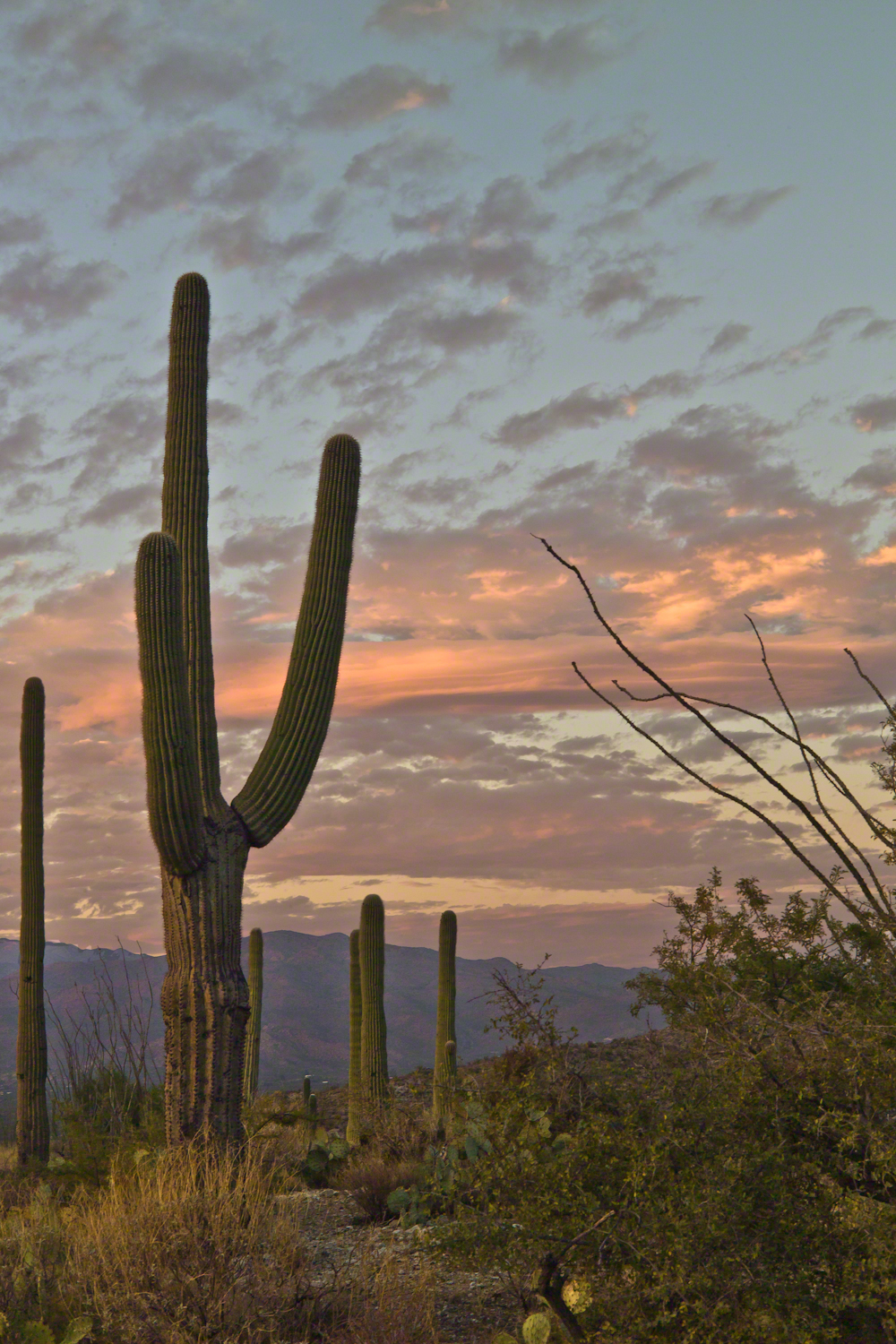
You see here a shot from that session. In the distance, looking across Tanque Verde, are the Santa Catalina mountains. Months since the last rainfall, the giant Saguaros are using internal moisture reserves drawn up from a shallow root system, the flesh is less plump, the supporting structure of the ribs, always evident, are more pronounced. The last light catches these ribs in relief against a dramatic sky.
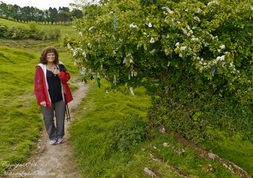
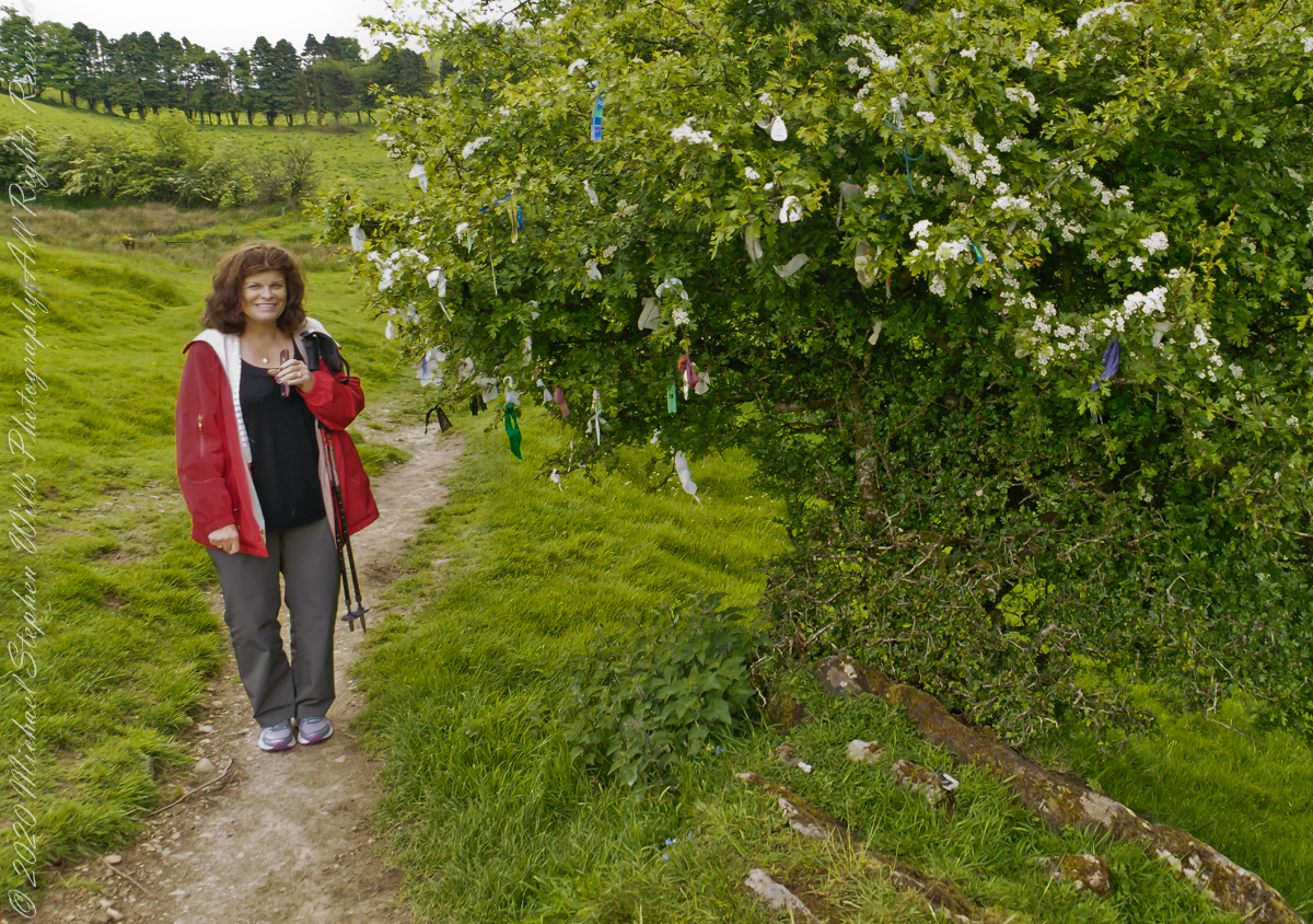
Pam and I were lucky enough to plan our tour of Ireland for May and June when the Hawthorne trees are in bloom. Named sceach gheal in Gaelic, the white clusters of blossoms symbolize hope. Hawthorns are plentiful throughout the island. The Irish revere the tree and associate each Hawthorn with the Little People. There are roads in Ireland that curve around a Hawthorn tree because the local people convinced the engineers to do so, to save the tree.
This specimen, covered with offerings (to the Little People?), is on the trail to Loughcrew. Even with her knee trouble, Pam made it to the top of the Hag’s Mountain to visit Cairn T of the Loughcrew Passage tombs.
The steep path to Loughcrew passes a hawthorn covered with flowers and may offerings.
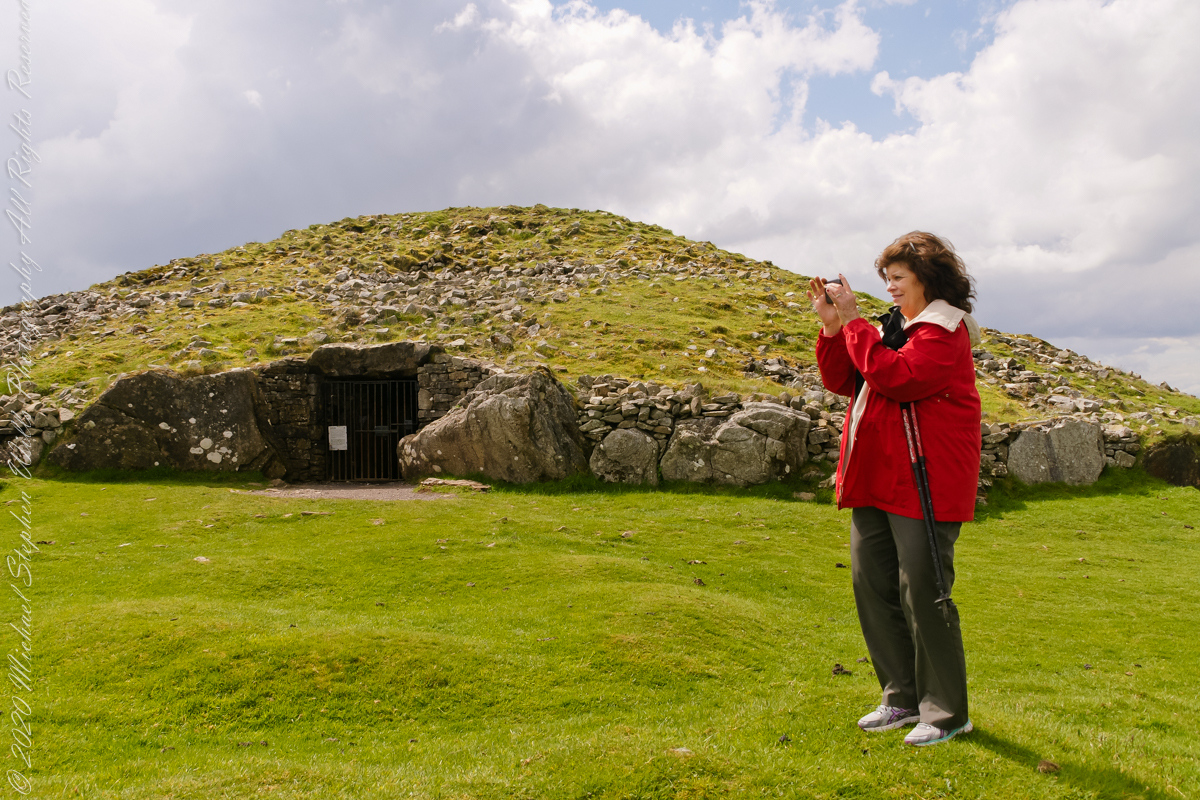
Pam loves to capture images and returned from Ireland with a large collection. Most of the photos of me at work are by Pam. Here Pam is capturing the summit view of Hag’s Mountain with the Cairn T entrance gate in the background. Lucky for us, a fellow visitor made the trip to Loughcrew Gardens and picked up the gate key from the café. In a later post I will share my work from inside this passage tomb.
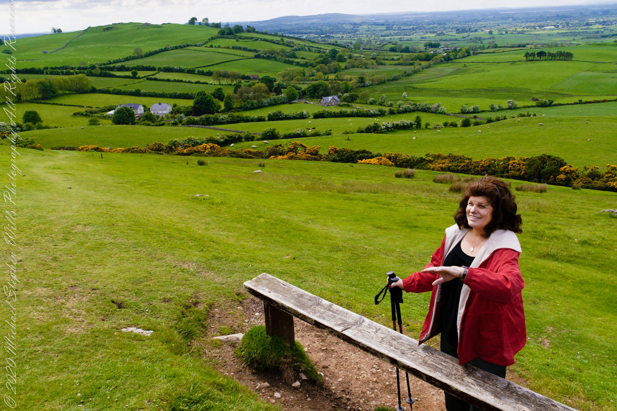
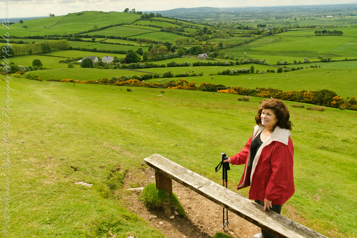
Pam makes friends wherever we go. She started down the mountain before me to take it easy on her knees. When I caught up, Pam and a young Irish family were deep in conversation. I took the opportunity to capture Pam with that gorgeous view to the northwest, Irish countryside with Lake of the Branches in the far distance.
Copyright 2023 Michael Stephen Wills All Rights Reserved
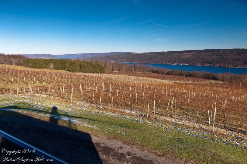
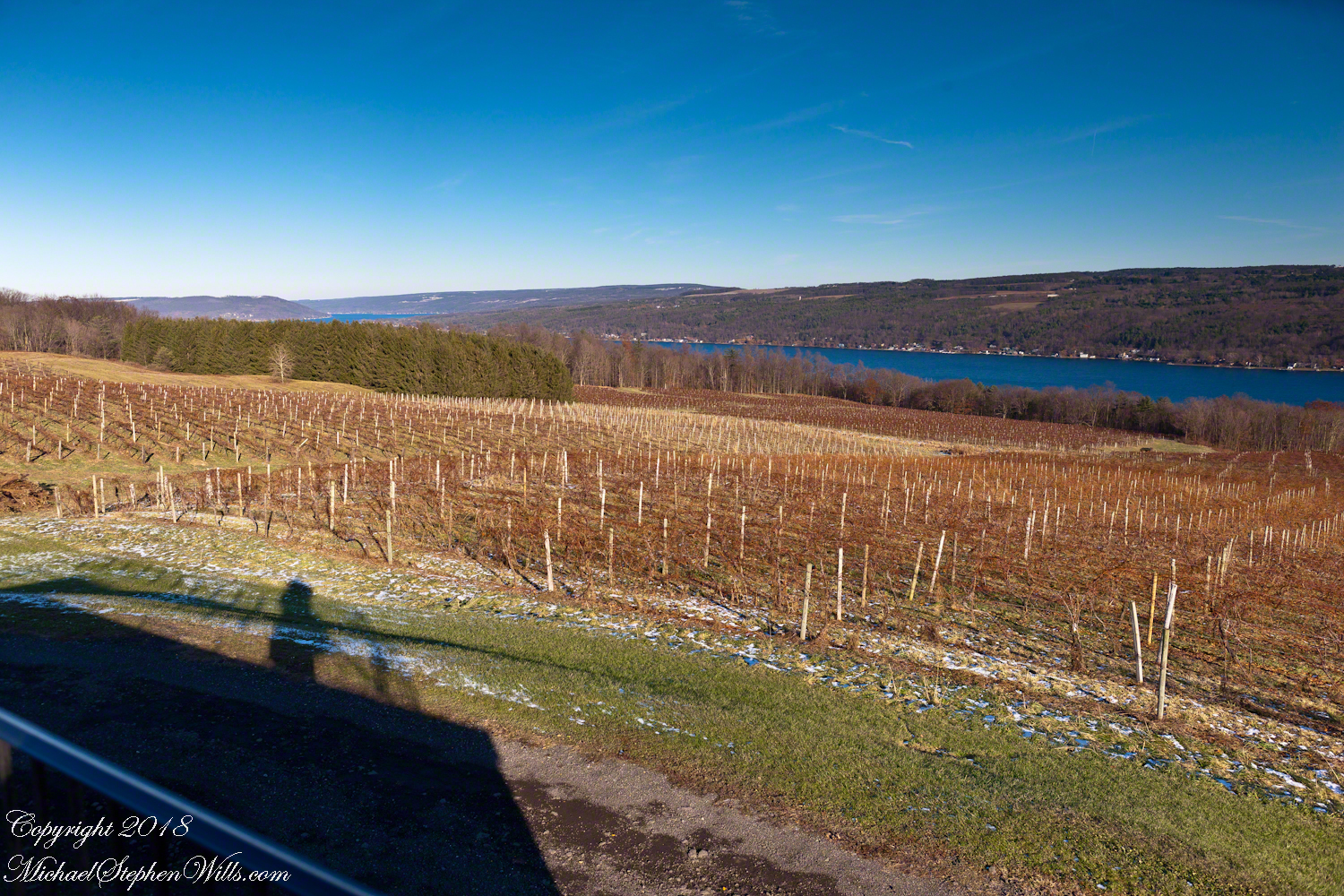
Sunday, Pam and I travelled across the peneplanes, past three Finger Lakes, to reach the Dr. Konstantin Frank winery where we subscribe to the “Wine Club,” a quarterly release of three 750 ml wines along with a newsletter with information and recipes. For 2018/2019 we elected to “pickup” our selections, looking forward to these drives through the country and villages between Ithaca and the winery perched on the west side of Keuka Lake, just below the “branch.”
Preeviously, I posted “Glacier!!” and today there is this photograph of glacial topography 10,000+ years after the melt. Keuka Lake is shaped like a “Y” chromosome, here we are looking northeast across the “foot” of the “Y” from the west lakeside. Above the evergreens, to the left, is the headland separating the “arms” of the “Y”.
Spread out below our viewpoint are row upon row of grapevines, enjoying the microclimate surrounding the deep lake.
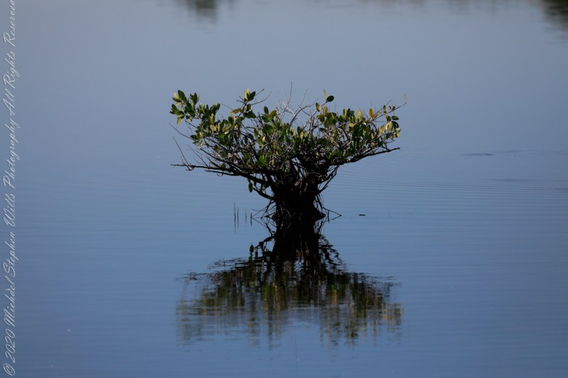
Up Blackpoint Wildlife Drive, about two miles from the entrance, we came to the parking area for Wild Bird Trail Head where I spent an hour or so admiring the sights. This Mangrove sprouting from brackish water is one of three known to grow here.
I’d say it is a Black Mangrove from the color of the bark. “Unlike other mangrove species, it does not grow on prop roots, but possesses pneumatophores that allow its roots to breathe even when submerged. It is a hardy species and expels absorbed salt mainly from its leathery leaves.”
The text in quotes is from the Black Mangrove wikipedia article.
Merritt Island National Wildlife Refuge, Titusville, Brevard County, Florida
Copyright 2022 Michael Stephen Wills All Rights Reserved
Up Blackpoint Wildlife Drive about two miles from the entrance we came to the parking area for Wild Bird Trail Head where I spent a hour or so admiring the sights.
This Tricolor Heron taking advantage of a perch provided by Black Mangrove growing from the brackish water. I assume it is resting as this heron stalks its prey in shallow or deeper water, often running as it does so. It eats fish, amphibians, crustaceans, gastropods, leeches, worms, spiders, reptiles, and insects.
Merritt Island National Wildlife Refuge, Titusville, Brevard County, Florida
Copyright 2022 Michael Stephen Wills All Rights Reserved
In November 2004, a visit to Canyon de Chelly with guide Hadley Tsosie revealed ancient petroglyphs and ruins, highlighting Navajo culture and the canyon’s unique beauty.
On November 3, 2004 my son, Sean, and I made our way to Chinle, Arizona on the Navajo Reservation at the mouth of Canyon de Chelly.
The next day, driving a rented 4 wheel drive, we arrived at the visitor center, at dawn, and there met Hadley Tsosie who worked as a guide. This is how you do it, if learning about the Canyon is your goal. It is possible to walk, unaccompanied, into the canyon to view the “White House” and this I highly recommend. Tourists can also drive around the rim to various overlooks. This is what most people do.
The canyon is still farmed and the tribe only allows visitors when accompanied by a guide. Only Diné (Navajo) are certified as guides. They know the rights of way and the preferences of the landowners.
We negotiated with Hadley to take us for half a day for our interest in petroglyphs and ruins. It is important to start early when the sun is low in the sky, when directly overhead the details of ruins and petroglyphs are washed out by the light. Catching the late afternoon/evening sun is also an approach that requires detailed knowledge of the route, taking into account the time of year.
Hadley was an excellent choice, though he was our only option on that day. He was fluent in Navajo beliefs, the lore of the canyon and generous in sharing what he knew.
Here is Hadley, approximately 6.2 miles into the canyon with the “Ledge Ruin” behind. We arrived at the junction just in time, before the sun was high enough to wash out the ruin. It is slow going into the canyon what with the deep sand and water that must be negotiated. Hadley did the driving and was expert. We passed other parties bogged down in the wet sand. I do not believe it was luck that kept us moving . We stopped many times to talk and admire the petroglyphs and pictographs.
Petroglyphs are symbols incised, or cut, into the surface (the name means petro, “rock”, glyph, “symbol”). In the desert climate of the southwestern USA a thin, dark pigment forms on rock surfaces of overhanging cliffs. The pigment forms from infrequent precipitation, in the form of water, flowing downward over the surface or even dew. The high heat of the desert drives a chemical reaction between water, clays, iron and manganese oxide to form a coating on the rock surface. The dark coating, called “desert varnish”, contrasts with the underlying rock. When it is scraped away a line forms. Many of the petroglyphs were of this form. Others were carved into the rock itself, more time consuming and durable. No one knows when the petroglyphs were made, they were always there are respected. People have inhabited Canyon de Chelly for over a thousand years. The word pictograph has a different meaning when used to describe prehistoric art. The earliest writing were symbols incised in wet clay, then allowed to harden. The pictographs we viewed was prehistoric art, mostly white pigment on the red rock, outlines of hands. There were also kokopelli, the outline of a flute player and jagged lines, symbolizing, Peter told us, lightening.
In November the cottonwoods were in fall foliage, a brilliant yellow under a cloudless sky. The sun is lower in the south and rises later. The Navajo Reservation follows daylight savings time, unlike Arizona. This November morning the sun rose around 7:45 am, so if you are not an early riser this time of year is an excellent choice for a Canyon de Chelly tour.
Looking southwest from the Canyon de Chelly visitor center toward the eastern escarpment of Black Mesa of the Hopis.
The village of Chinle is a “census designate place”, in other words it only exists because people live there, it was not formally recorded in “official” records. On the Navajo reservation, people lived here beyond recorded time. It is called in their language “flowing out”, where live giving water flows out from the canyons.
There is a fine Best Western in Chinle, better than most of that brand and the only choice for mile and miles and miles.
This is a cribbed log hogan. The domed earthen roof keeps the interior cool in hot weather and, along with a fire, warm in the winter. The Navajo hogan entrance faces east.
In Junction Ruin Musings, the previous post, a ruin from the Anasazi people was contemplated. Above is a traditional Navajo dwelling from a later, more secure, time.
A good place to cook, read and sleep in hot weather. The entrance faces east and, for this one, the view was superb.
Ouch!! Everywhere in the southwest, watch where you tread.
A Native American, seeing the flute playing Kokopelli, hears in the mind the sonorous melodies of their native flutes carried in as if on the wind. The hands waving in rhythm, “Here we are.”
Canyon de Chelly symbol carved into red sandstone cliff representing a clan sign.
I recall our guide, Peter, describes this as a scorpion.
Canyon de Chelly petroglyph, desert varnish over red sandstone. Image is dated by representation of horses, brought by europeans.
The feeling of movement and the story invoked viewing this drawing etched carefully on the rock demonstrates we are in the presence of an accomplished artist. The story of the times for us to learn from.
Red sandstone formation on ridgeline, north side of Canyon de Chelly is remember by the Navajo for the story of the Raven Woman.
A Navajo woman, fleeing Apache captors, flew over this cliff, or seemed to. Survival depended on knowing how to run over slickrock without stumbling and to know where and how to disappear into the rocks.
Canyon de Chelly below the first division into tow arms, the junction. This is looking south east. The cottonwoods are in autumn foliage.
Cahyon de Chelly is is possible here to climb out of the canyon over these lower slopes over what is called slickrock. In the foreground is a juniper tree.Canyon de Chelly vista from a slickrock ledgeA two inch dung beetle crawls up sandstone slickrock, the origin of this stone apparent from the visible sand granules within an apparent clay matrix. The stone grain, described as cross bedded, suggests this was a former dune of wind blown sand composed of remnants of the Ancestral Rock Mountains.
This series of wading shorebirds are from a mash alongside Blackpoint Wildlife Drive.
This Anhinga basked on a marsh bush just off Blackpoint Wildlife Drive on a January morning. Soaking in sunlight is most important for this waterbird as Anhinga features are not waterproof, after a session of diving, the bird is soaked through to the skin and need to warm up and dry off.
“The Anhinga sometimes called snakebird, darter, American darter, or water turkey, is a water bird of the warmer parts of the Americas. The word anhinga comes from the Brazilian Tupi language and means “devil bird” or “snake bird”. The origin of the name is apparent when swimming: only the neck appears above water, so the bird looks like a snake ready to strike. They do not have external nares (nostrils) and breathe solely through their epiglottis. Anhinga species are found all over the world in warm shallow waters.”
The American anhinga has been subdivided into two subspecies, Anhinga anhinga anhinga and Anhinga anhinga lleucogaster, based on their location. Anhinga anhinga anhinga can be found mainly east of the Andes in South America and also the islands of Trinidad and Tobago. Anhinga anhinga lleucogaster can be found in the southern United States, Mexico, Cuba, and Grenada.
“A kettle of Anhingas often migrate with other birds and have been described as resembling black paper gliders.”
The text in quotes is from the Anhinga wikipedia article.
Merritt Island National Wildlife Refuge, Titusville, Brevard County, Florida
Copyright 2022 Michael Stephen Wills All Rights Reserved
This video of a Common gallinule feeding was taken from Blackpoint Wildlife Drive.
The family Rallidae (aka rails) includes crakes, coots, and this member of the gallinules. Found worldwide, this species, Gallinula galeata, was recognized in 2011 as separate from the closely related “Old World” Moorhens.
Here it is in a favored habitat, feeding on underwater vegetation of the Florida marsh in sight of rockets launching from Kennedy Space Center. The exceptional lighting, bright reflective water, are created by the low winter sun and southern exposure of the location just north of the road.
The taxonomic Order is derived from the Latin word Gallinula meaning a small hen or chicken that, since the 13th century at least, as revealed in the names “Moorhen,” “Waterhen,” and “Swamp Chicken.”
The spread of Gallinula is attributed to breeding habits. “Laying starts in spring, between mid-March and mid-May in Northern hemisphere temperate regions. About 8 eggs are usually laid per female early in the season; a brood later in the year usually has only 5–8 or fewer eggs. Nests may be re-used by different females. Incubation lasts about three weeks. Both parents incubate and feed the young. These fledge after 40–50 days, become independent usually a few weeks thereafter, and may raise their first brood the next spring. When threatened, the young may cling to the parents’ body, after which the adult birds fly away to safety, carrying their offspring with them.”
The text in quotes is from the Wikipedia article for “Common Moorhen.”
Copyright 2022 Michael Stephen Wills All Rights Reserved