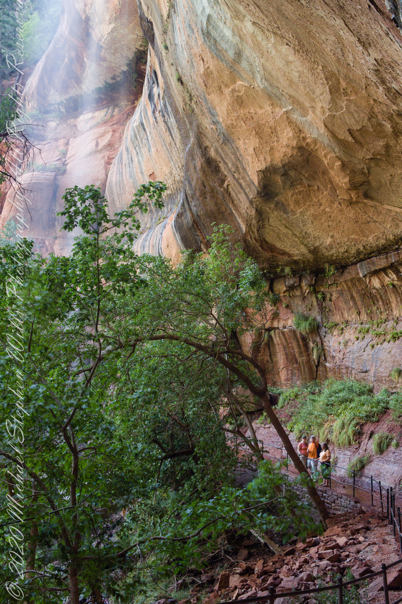
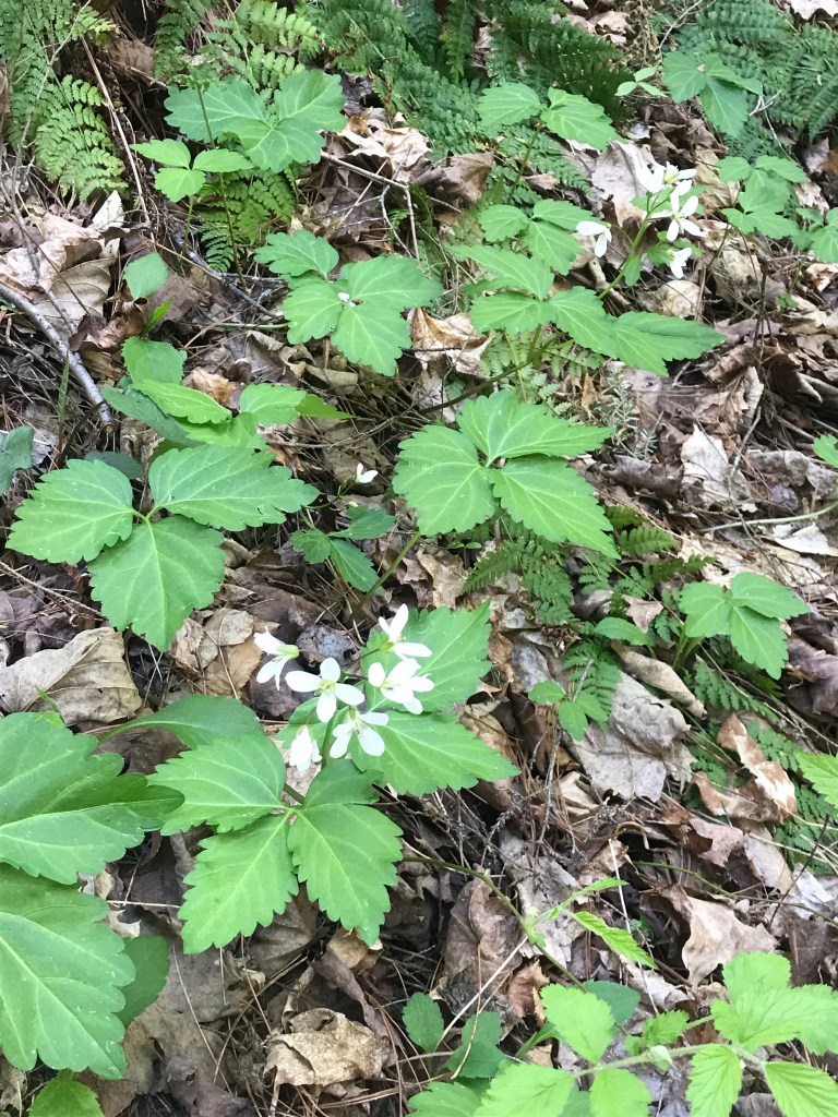
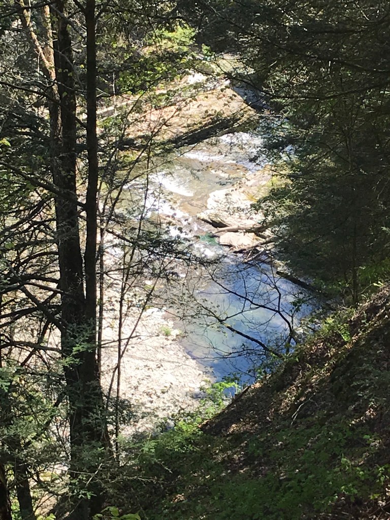
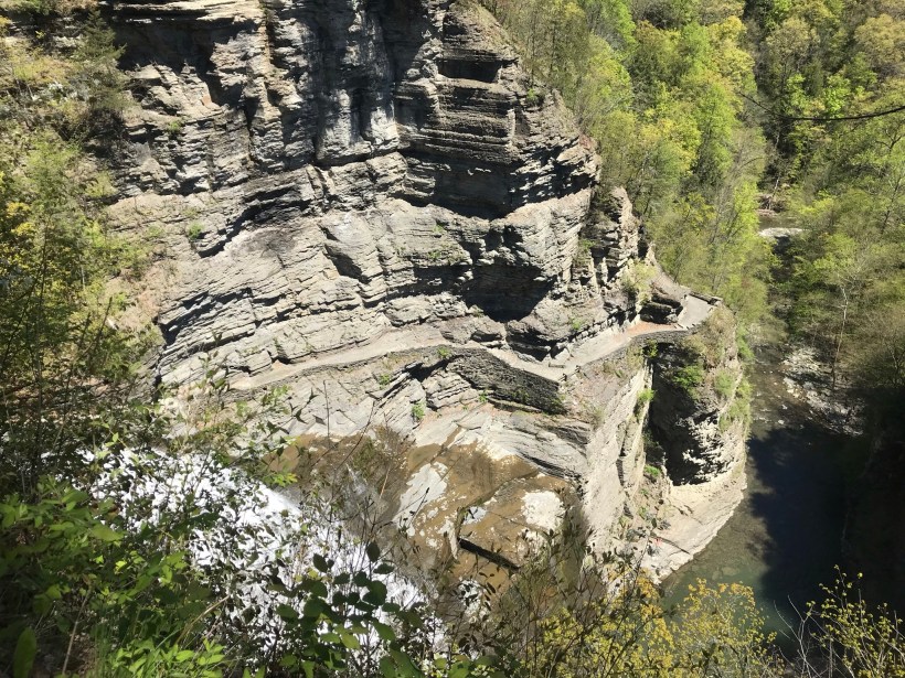
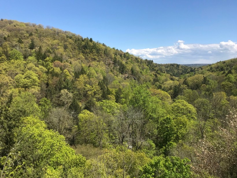
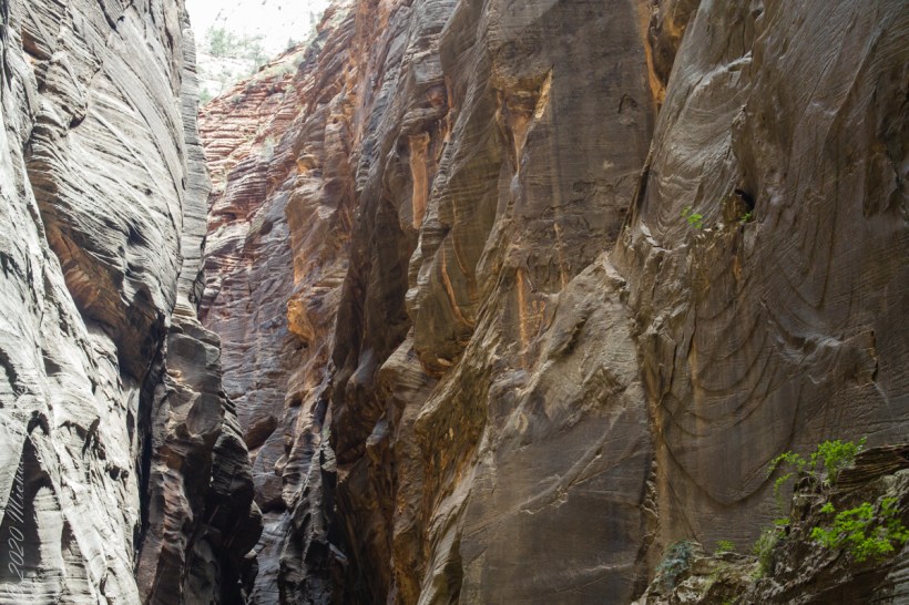
Our first day was spent hiking up to the narrowest section of Zion Canyon, called “Wall Street,” where the gorge walls are 1,000 feet high. There, the river is 20 feet across in places and not much wider anywhere. There is NO high ground to escape flash floods, only the high, unforgiving canyon walls.
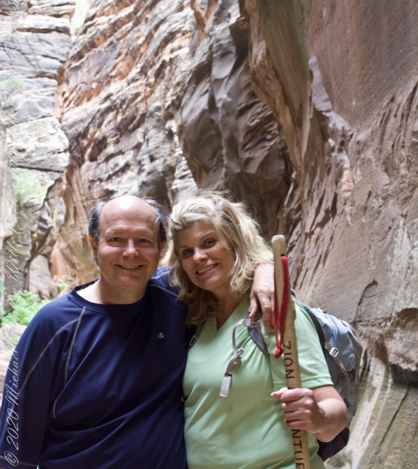
As we were planning to venture beyond the tame sidewalk of “The Riverside Walk”, our first stop was to an outdoor supply store in Springdale to rent canyoneering shoes, to wade the river comfortably and safely, a sturdy stick to improve stability and free advice on current conditions for the potential of flash floods. You can see the stick in this portrait, mid-narrows. This was July, with a danger of torrential downpours, and we were nervous about this; however, proceeded anyway.
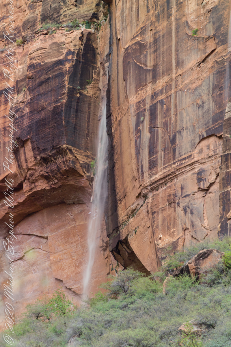
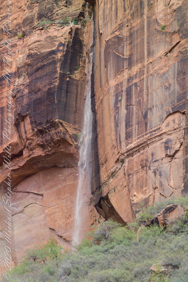
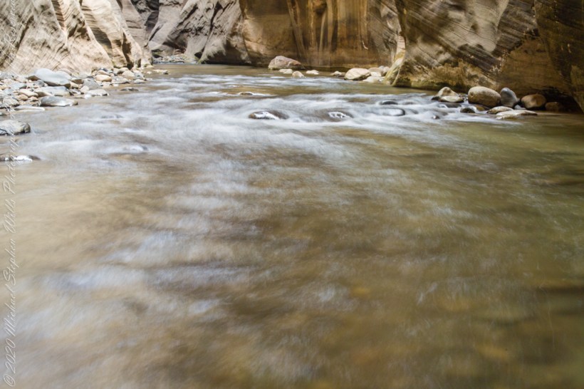
Several miles in, I set up the Manfrotto 468Mg studio tripod with the Kodak DSC pro SLR-c (the “c” specifies compatibility with Canon lenses) and the Canon 50 mm f/1.4 USM lens. Here we look downstream, the way we came. I waited for a clear shot w/o fellow hikers coming up from behind. This was before investing in a wide-angle lens. My plan was to stitch the three shot together.
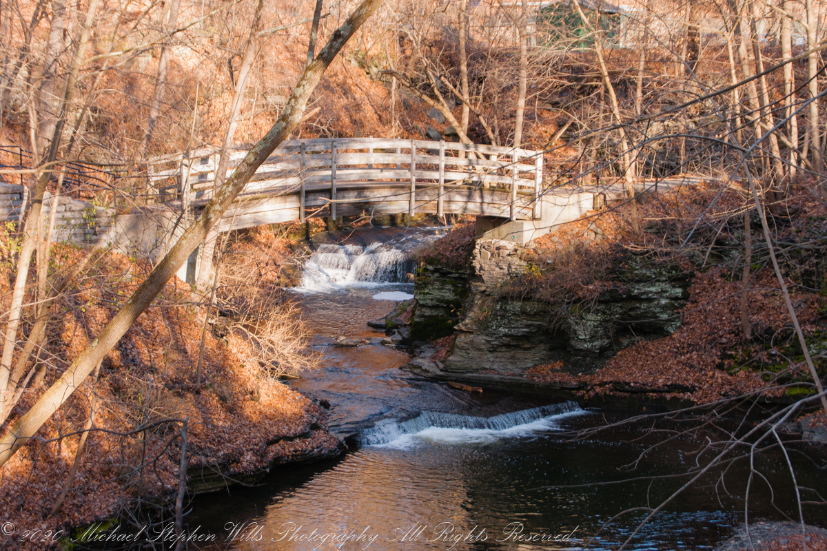
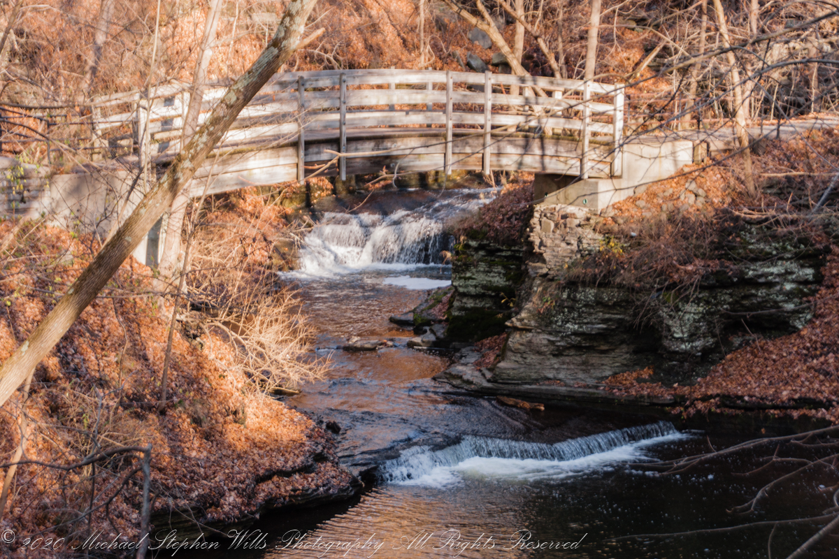
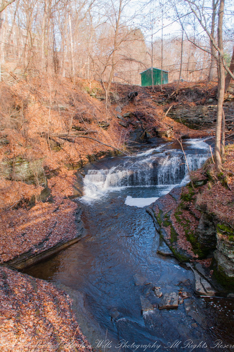
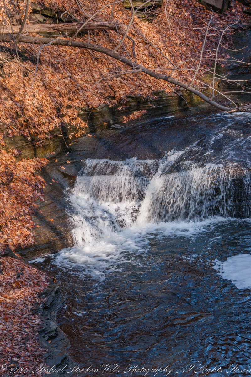
Click on each photograph for a larger view, in new tab.
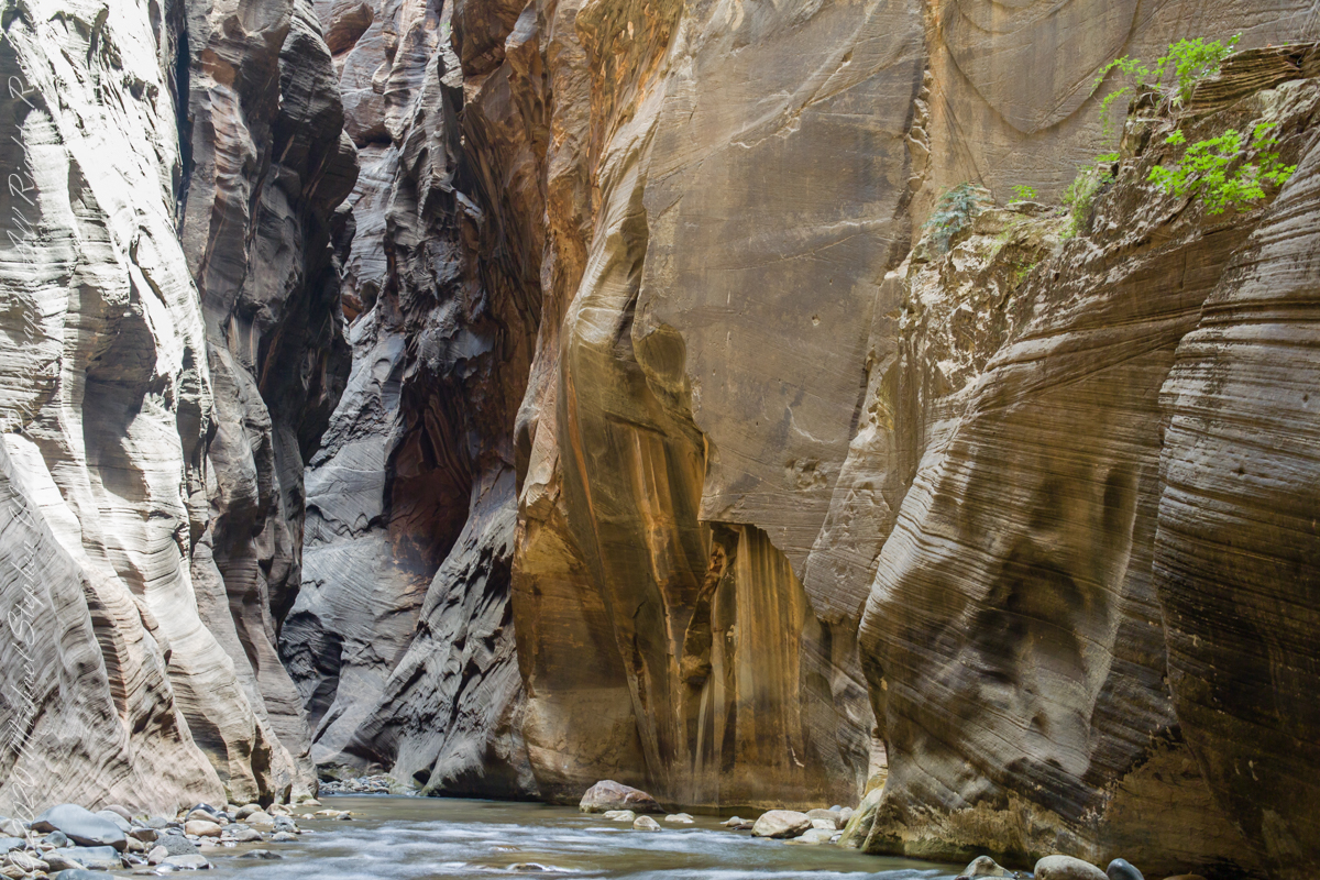
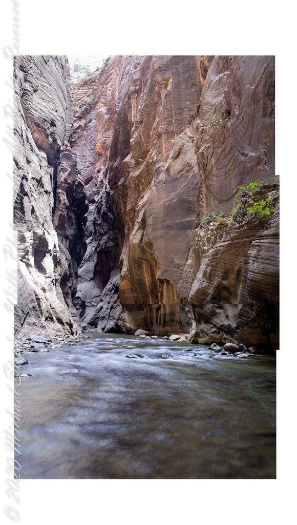
The work remaining on the rough draft are to match the edges as close as possible, smooth out the differences until the joins are indiscernible.
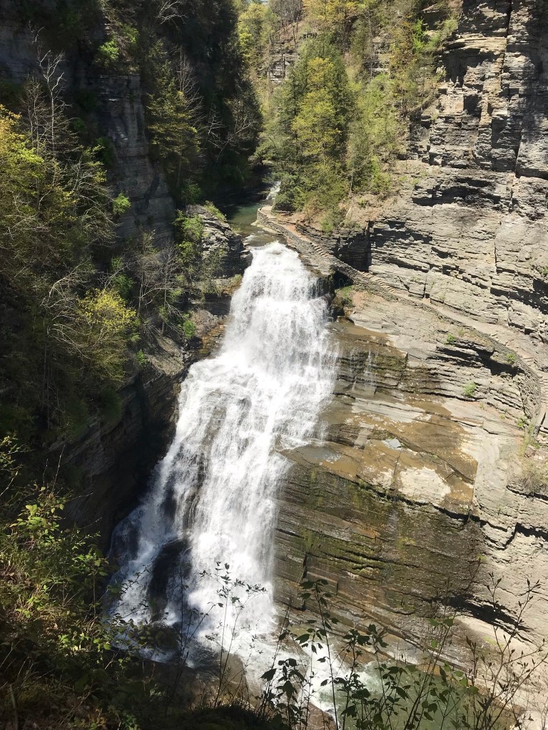
Here are the same photographs as a slide show. I enjoy how the long exposure blurred water lead the viewer into the gorge walls.

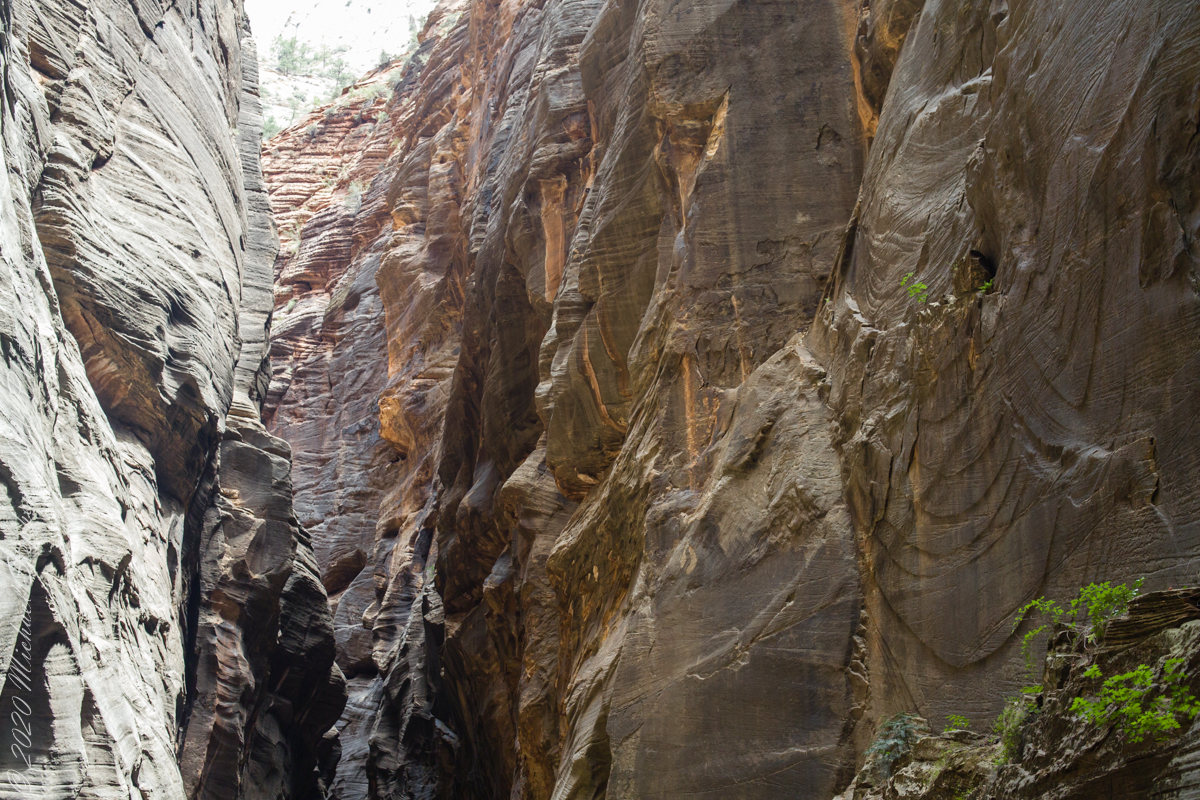

Captured with a Kodak DCS Pro SLE/c dslr and a Canon EF 50 mm f/1.4 lens stabilized with the Manfrotto Studio Tripod model 475 and the 468 Hydrostatic ball head.