My photographic style centers on the use of natural light to visualize emotion and evoke memory. The evolution of my style began early in the year 2002, with an imperative to capture personal and fleeting memories.
My son and I traveled to New York City, to view the first Saint Patrick's Day parade after September 11, 2001. My work from that parade was so successful and satisfying (see "New York Fire Department, Saint Patrick's Day 2002") I just never stopped.
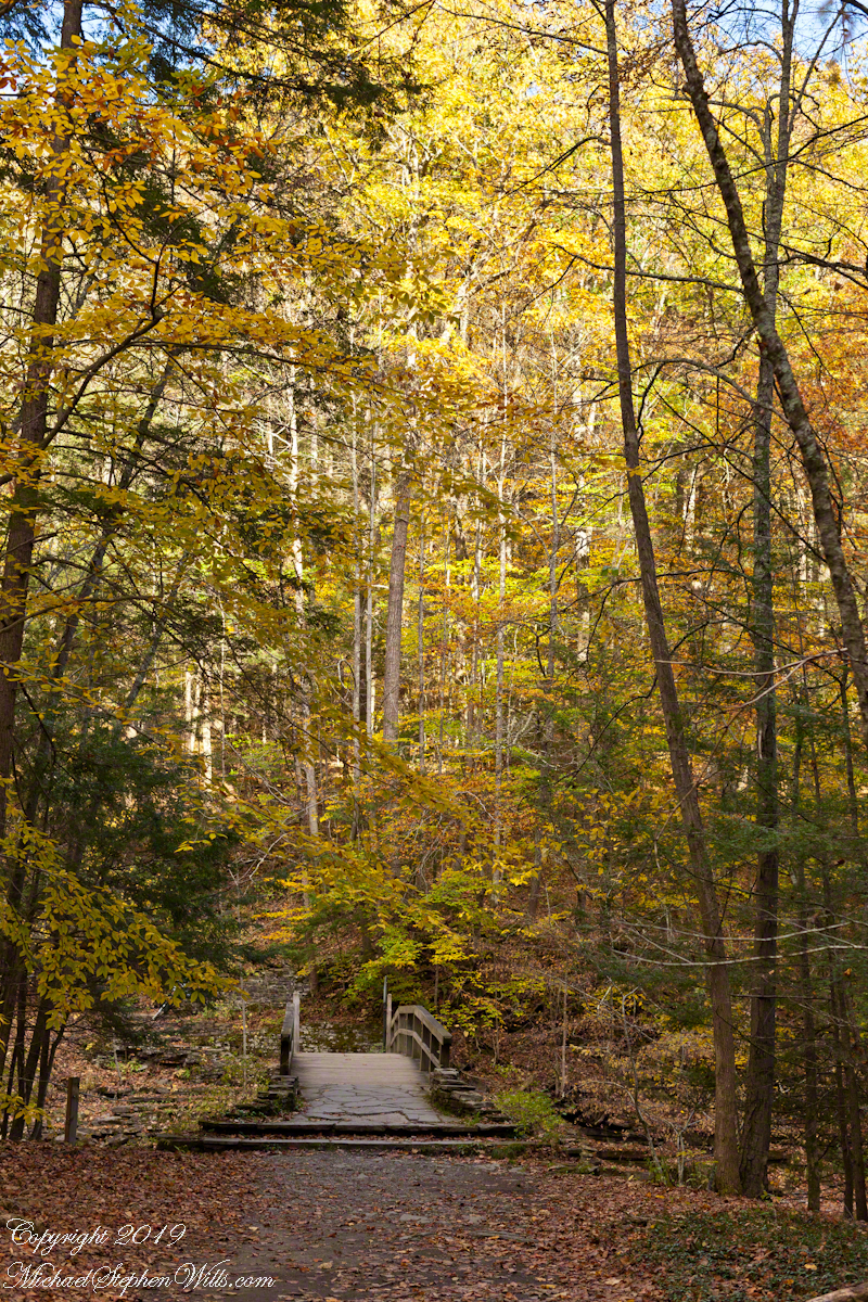
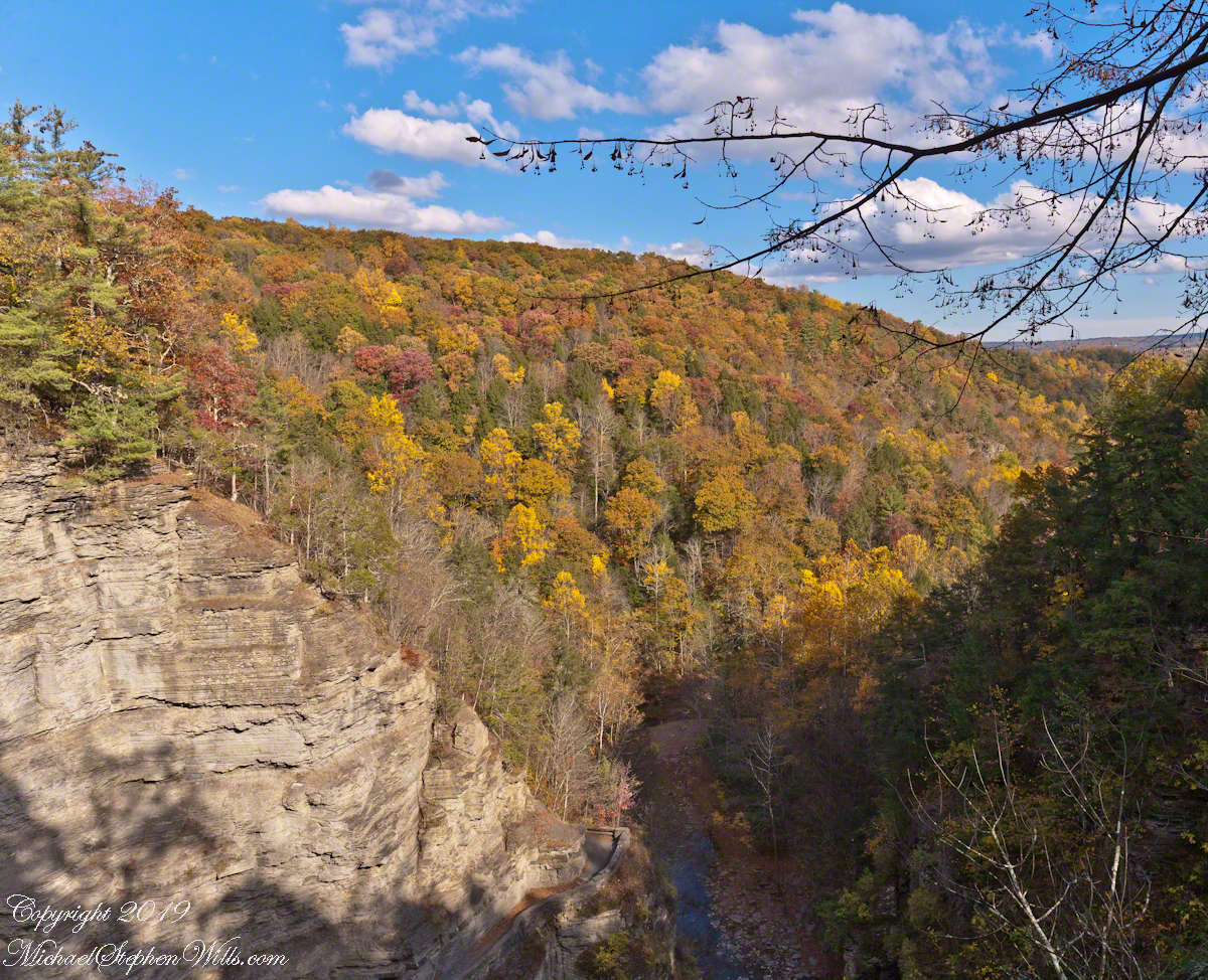
A place for quiet contemplation within the Treman Gorge, only accessible via a 15 minute hike. Robert H. Treman New York State Park on a late October afternoon.
Click photograph for a larger view. To do this from WordPress Reader, you need to first click the title of this post to open a new page.
Autumn foot Bridge
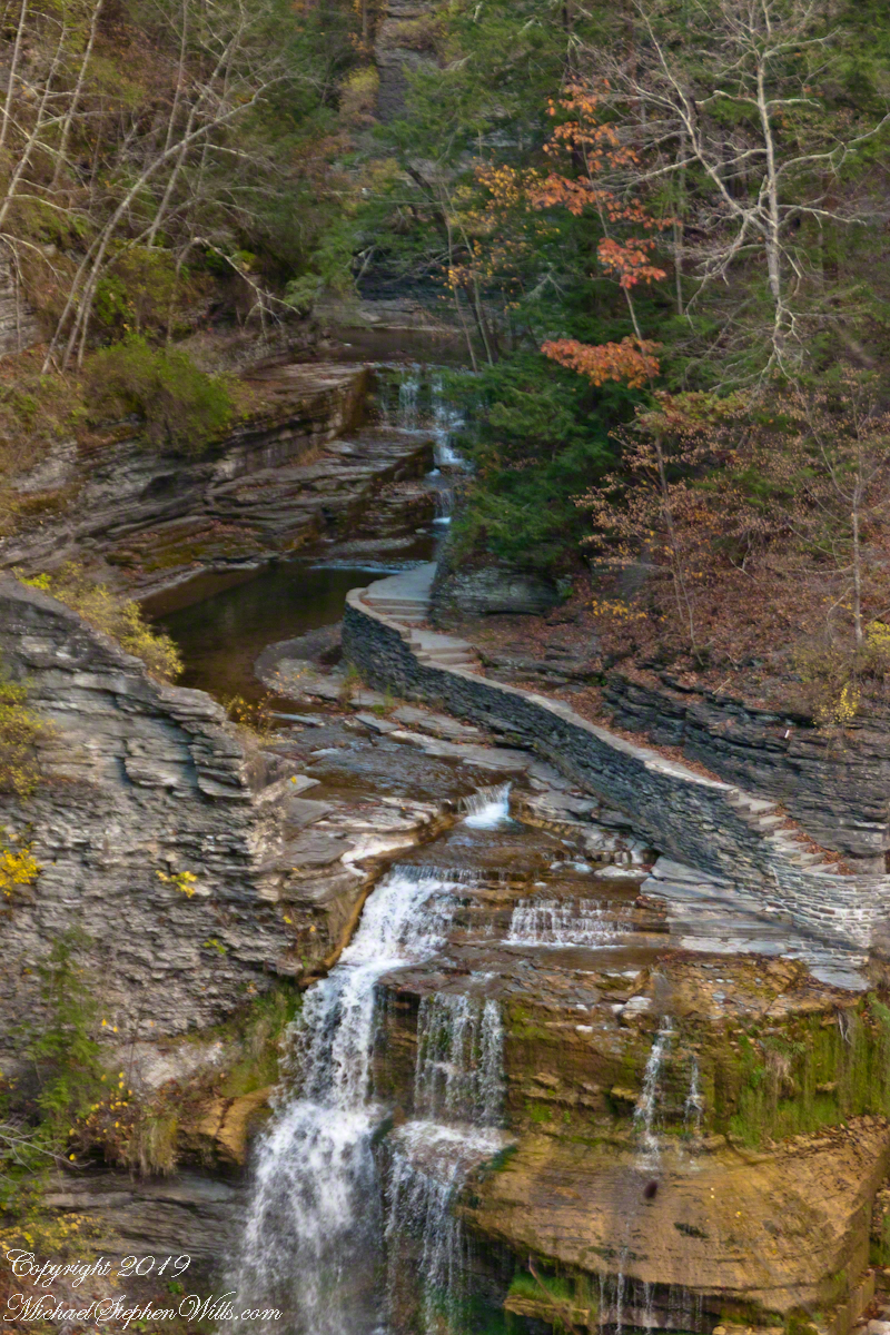
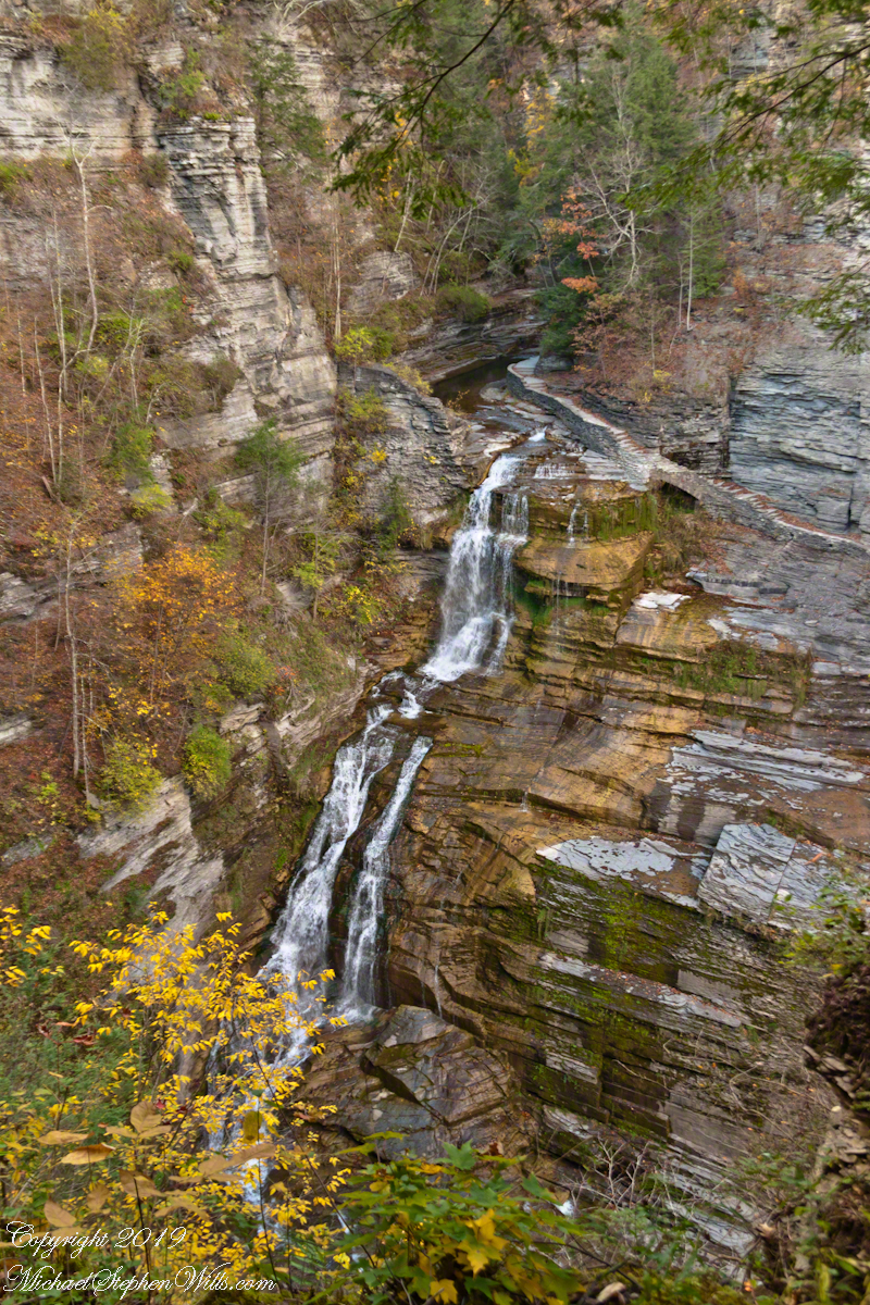
Click for a slideshow of this sequence of Lucifer Falls view from the overlook.
Lucifer Falls from Rim Trail OverlookLucifer Falls from Rim Trail Overlook
Copyright 2022 All Rights Reserved Michael Stephen Wills
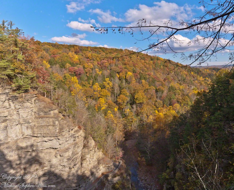
Standing on Enfield Gorge rim above Lucifer Falls on a clear October afternoon, the slopes of the far gorge cloaked in shades of green, yellow and red.
Below, the Gorge Trail runs below a sedimentary rock cliff.
Click photographs for a larger view. To do this from WordPress Reader, you need to first click the title of this post to open a new page.
Luficer Falls Overlook, northeast
Click for a slideshow of this sequence of Lucifer Falls view from the overlook.
Luficer Falls Overlook, northeastLucifer Falls from Rim Trail OverlookLucifer Falls from Rim Trail Overlook
Copyright 2022 All Rights Reserved Michael Stephen Wills
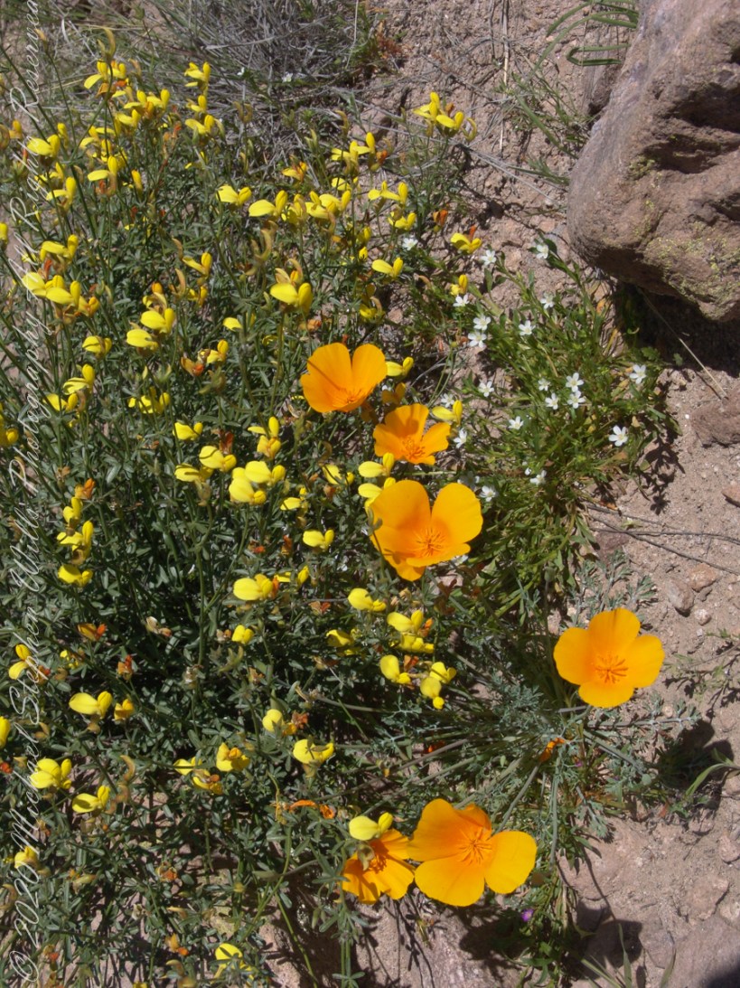
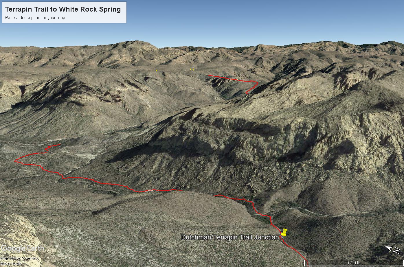
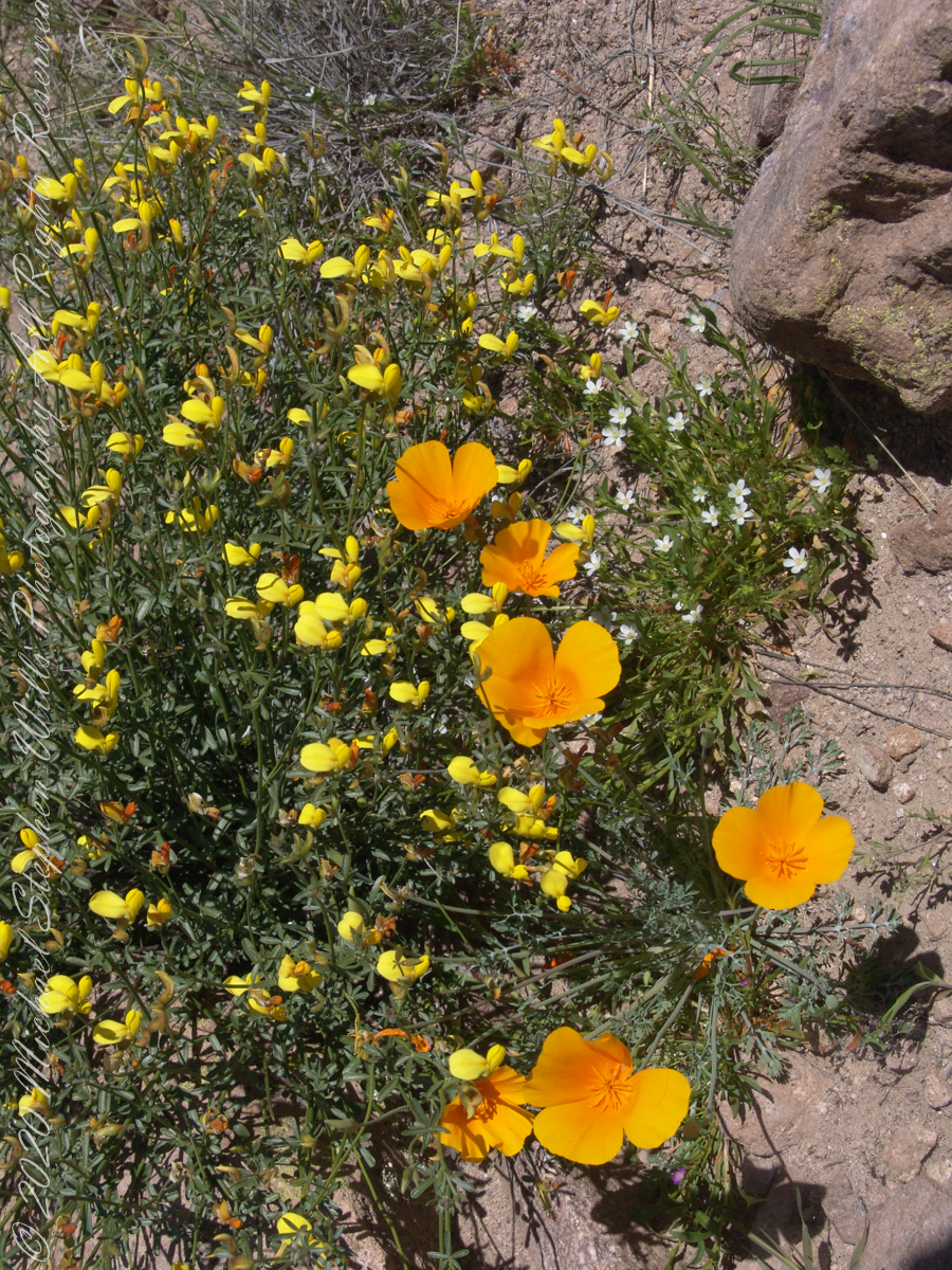
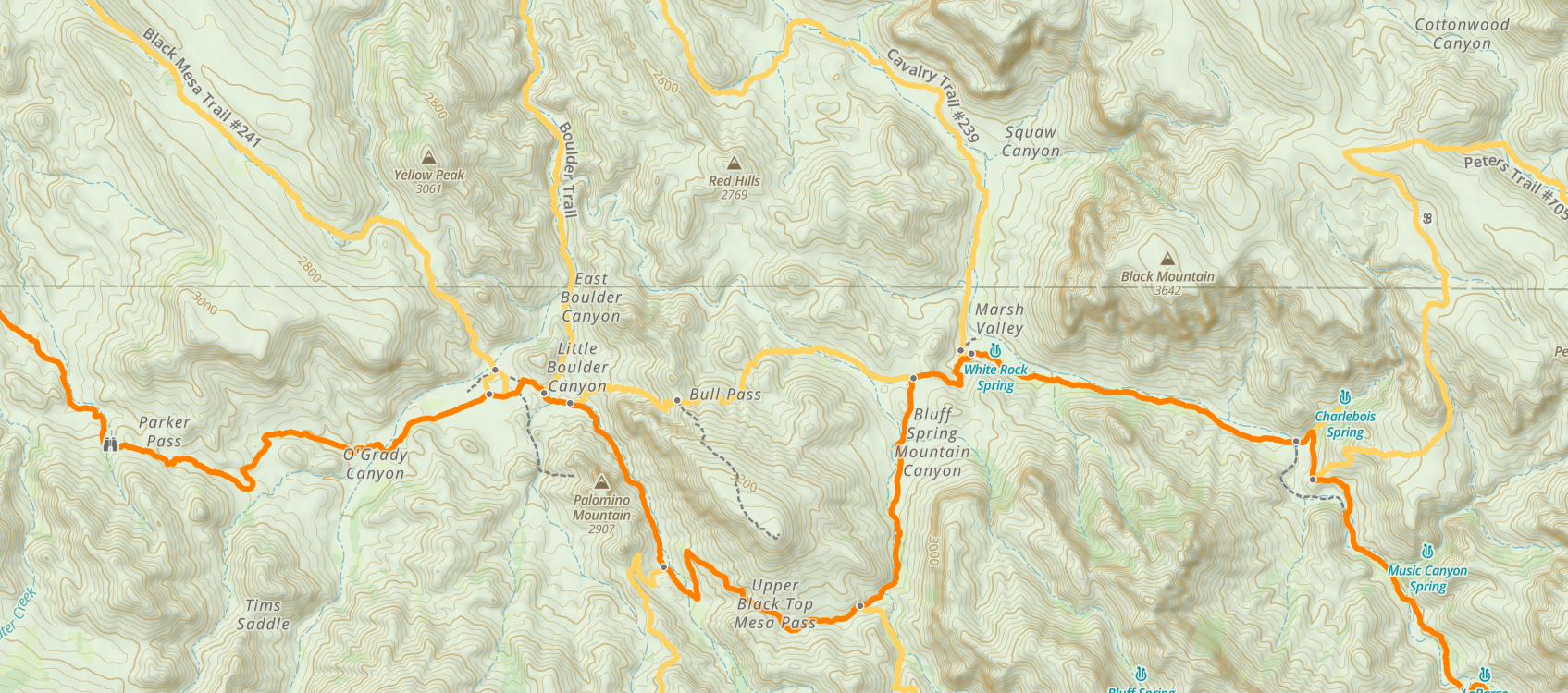
Those cliffs above the Dutchman Trail (in red from the push pin “Dutchman Terrapin Trail Junction”) climb 670 feet in 0.2 mile. Fifteen minutes after starting I stopped to photograph a group of wildflowers.
Terrapin Trail to White Rock Spring on Dutchman Trail
The bright yellow flowers on right are a member of the pea (Fabaceae) family named Wright’s Deervetch (Acmispon wrightii) I am able to pick it out from many similar flowers due to the characteristic narrow leaves with small hairs. These start out yellow, turning to red with age eventually forming brown seed pods. Mexican Poppy (Eschscholtzia californica) to the right.
The small white flowers are Chickweed (Minuartia macrantha) of the family Carnation (Caryophyllaceae).
Here is the topographic map with Terrapin Trail (yellow) meeting Dutchman Trail (orange) to the right of Upper Black Top Mesa Pass, bottom center
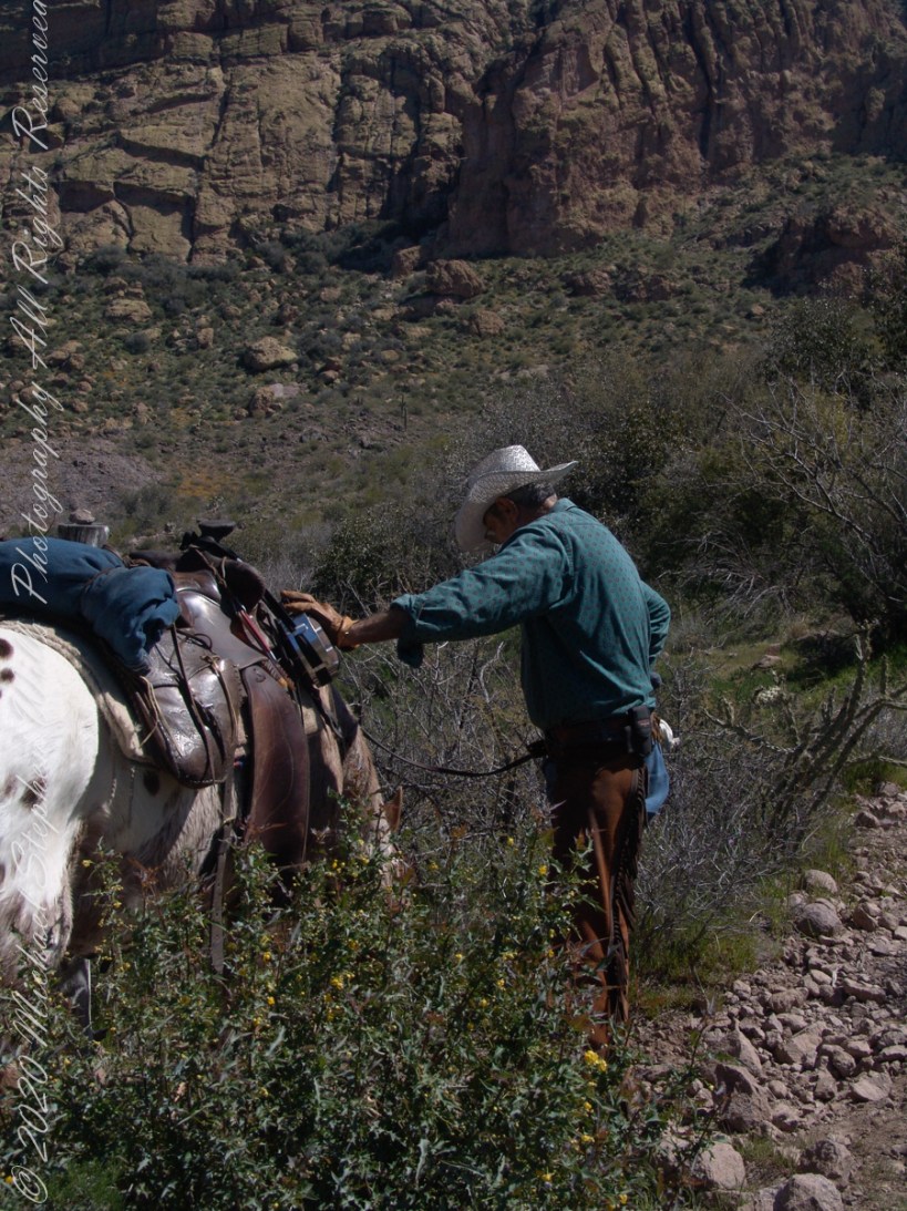
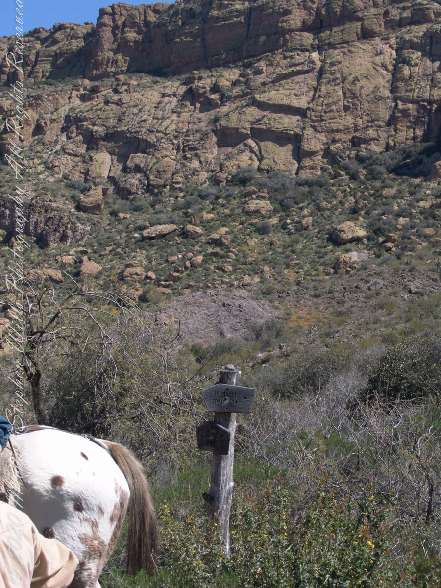
The beetling cliffs off Bluff Spring Mountain loom over where Terrapin and Dutchman trails meet. Patches of yellow are Mexican Poppies blooming on the talus slope. Terrapin Trail climbs the ridge, to right. Here is where I caught up with mounted expedition members, the spotted rump of an Appaloosa figures prominently next to the signpost.
Terrapin Trail almost immediately starts a climb up to an eponymous pass between Bluff Springs Mountain and Weavers Needle. From here, it is the best way into the mountain. The trail name is a misnomer, as terrapin (Malaclemys terrapin) turtle habitat is near the ocean. There is a desert tortoise (Gopherus agassizii) you might encounter during the rainy season as they are otherwise inactive.
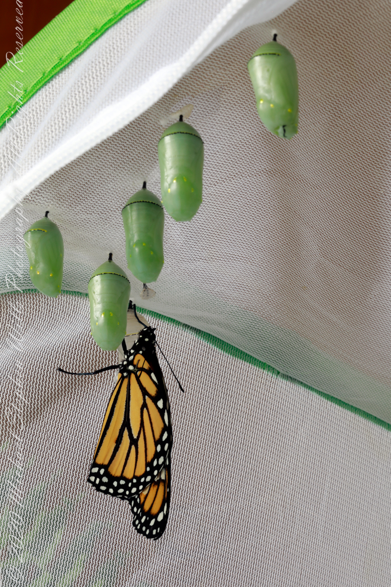
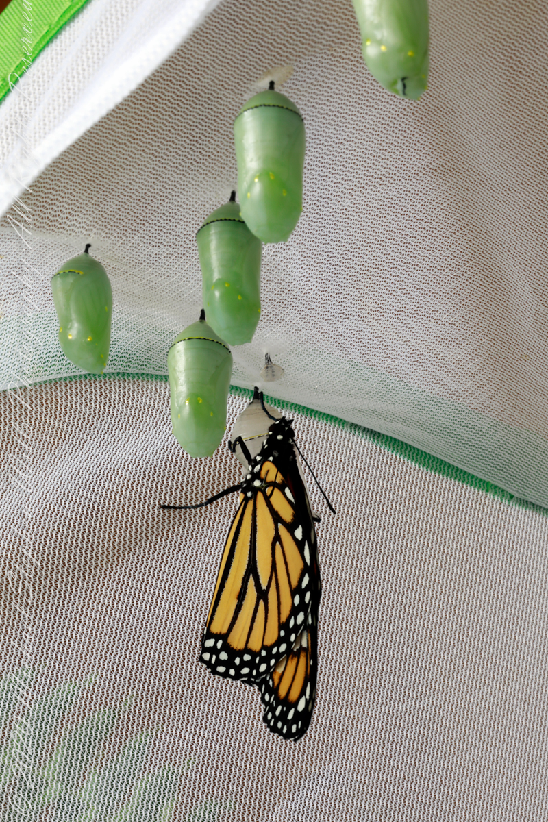
This Monarch butterfly emerged from the chrysalis a few moments ago. A minimum of two hours is required for the wings to harden before release to the wild.
Five wait off stage for their turn to fly.
Rainy weather forced us to leave her resting a full 24 hours.
Here are two videos of a Monarch release from 2020.
Copyright 2022 Michael Stephen Wills All Rights Reserved
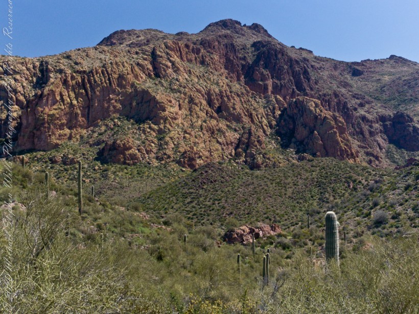
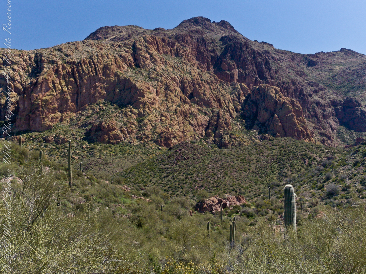
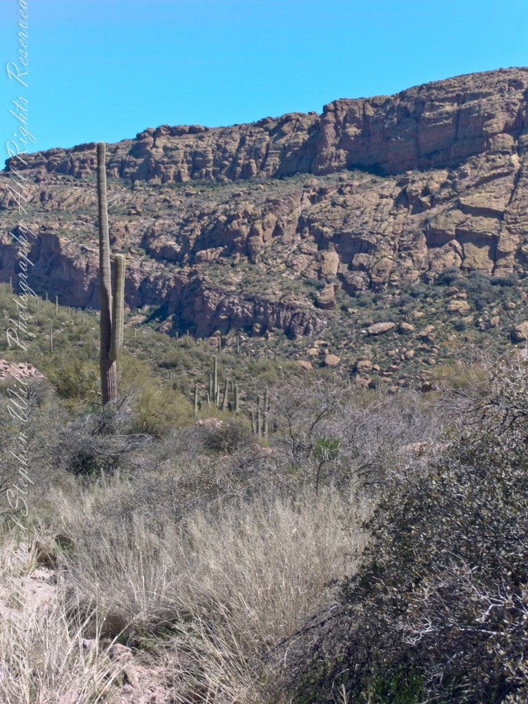
As we descended Upper Black Top Mesa Pass into Bluff Spring Mountain canyon we found, foreground, Palo Verde and brittle bush, and, midground, Saguaro. The presence of Palo Verde reveals water flows through this area intermittently though not enough to sustain a large tree. Palo Verde is in the pea family (Fabaceae), as evidenced by production of seeds in pods.
Calling it “Buff Mountain” some say the mountain is named for these buff-colored cliffs. Others, calling it “Bluff Spring Mountain” name it for the cliffs and the spring within a canyon on top.
Bluff Spring Mountain from the slopes of Black Top Mesa
Closer to the junction with Terrapin Trail this Bluff Spring Mountain ridge rose above us. A fine specimen of mature Saguaro cactus is in midground.
This the fifth and final of a series of landscape photographs taken from this position.
Click photograph for a larger view. To do this from WordPress Reader, you need to first click the title of this post to open a new page.
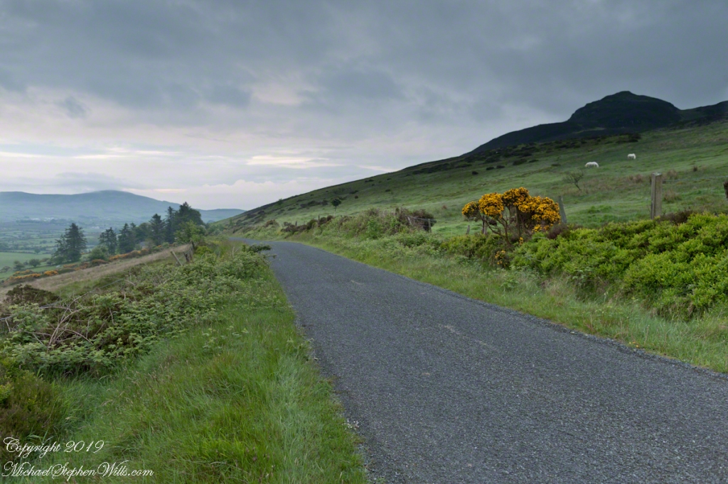
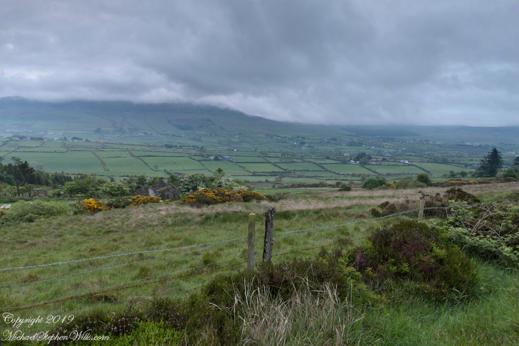
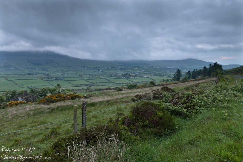
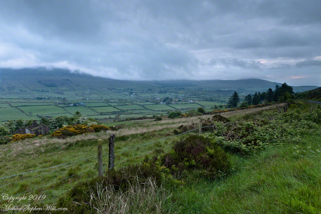
Slievenaglogh View with road, east
The peak is named, in the English language, Slievenaglogh. It is so strange as it’s not English, being instead a transliteration of the Irish name “Sliabh na gCloch.” This is “Rock Mountain” translated literally. Slievenaglogh is carried to the townland, a long thin swath of land being the peak and associated ridge-line.
The rocks up there are called “gabbro,” a type of magma slowly cooled under ground. Slievenaglog, Slieve Foy across the valley, and the Morne mountains all formed within volcano magma chamber(s) of the Paleocene, 66 million years ago, a time associated with extensive volcanism and the Cretaceous–Paleogene extinction event that gave rise to the current age.
Our younger cousin has been up there, optimistically we left it for a later trip.
Slievenaglogh View, northeastSlievenaglogh View, east northeastSlievenaglogh View, east northeastSlievenaglogh View, north northeastSlievenaglogh View with road, east