A Far Country IX: Bonsai Shape

Compelling Plant Shapes

(Click any photograph to visit my online gallery)

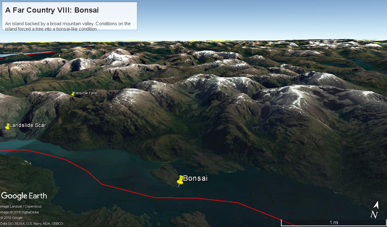
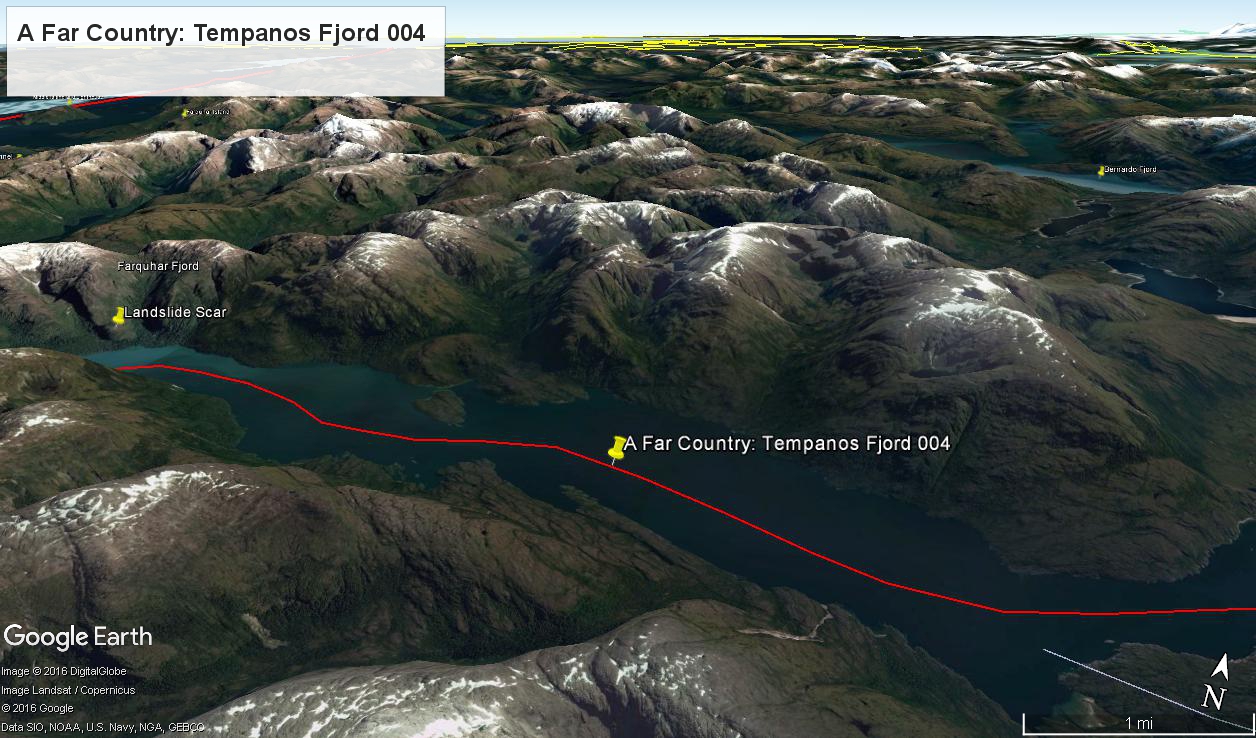
Here is a Google Earth view of Tempanos Fjord from 9,400 feet, looking north, northwest over a point on the fjord 6.5 miles from Iceberg Glacier, at 4 pm local time on February 17, 2016.  This view is interesting for the insignificant island, .75 mile long, and broad mountain valley to the north fringed with waterfalls.

Marked is the location of a tree, “bonsai”, a feature of the fjord cliffs, “Landslide Scar” and a neighboring Fjord, “Farquhar Fjord.”

This blog features the tree.

Tempanos Fjord View West, Northwest– CLICK ME!!!!

The Farquhar Fjord entrance opens onto the entrance of Tempanos Fjord and is the last photograph.

Tempanos Fjord View West, Northwest– CLICK ME!!!!

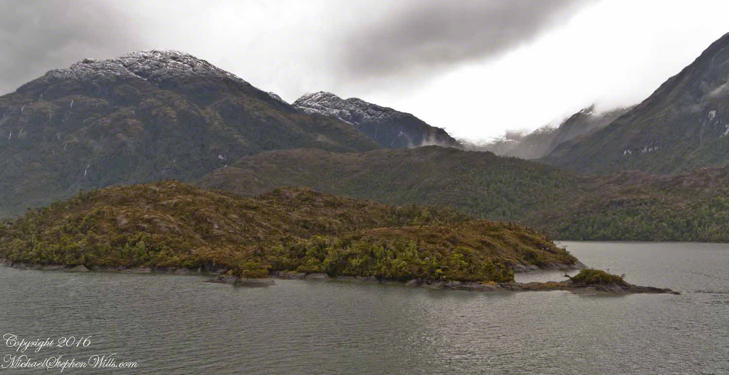
A photograph from our port side stateroom deck includes both the island and broad valley.  The misshapen tree, the “bonsai”, is on an islet to the right and in front of the island.  It is the small stump backlit by water reflection.  The stump is more interesting than can be seen in this image from a handheld camera, at 24 mm.  I used the variable lens for a closer look.

24 mm bonsai view– CLICK ME!!!!

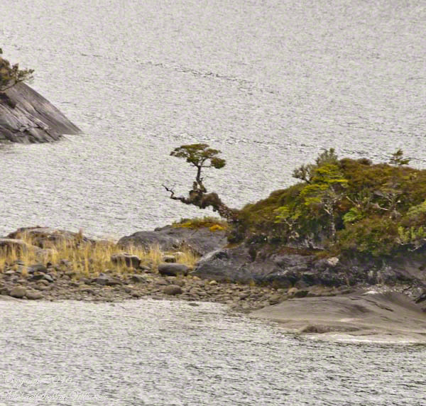
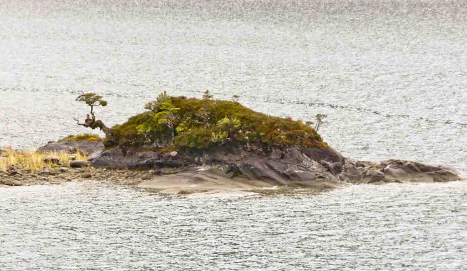
From this 133 mm, f8.0, 1/250 sec and ISO 800, still handheld, interesting details come into view.  The islet is a rock on which clings a bed of moss.  Several ferns, a sapling (on the far side) and a stump, on the right, are surviving.  The stump presumably supported a small tree of which a “bonsai-like” twig remains.

Bonsai are fascinating, created through the art and skill of emulating pleasing natural forms.  Here the moss encrusted twists and miniature tree crown were formed from a difficult environment.  Bonsai of Japan originated from an ancient Chinese tradition of penjing (“tray plant”).  The inspiration for this are, at origin and now, must be, in part, from admiration of the tenacity and beauty of these plants.

133 mm bonsai view– CLICK ME!!!!

At the 200 mm maximum my Sony Alpha 770 (1/400, f9, ISO 800) image is a little fuzzy, still with great details.

From my interest in bonsai I am on the lookout for shapes such as this. Travelling the challenging environment of the Chilean Fjords I found examples here and there.

200 mm bonsai view – CLICK ME!!!!


Click any photograph to visit my online gallery)
Copyright 2022 Michael Stephen Wills All Rights Reserved

A Far Country VI: View of Tempanos Fjord

Fjord View

(Click any photograph to visit my online gallery)

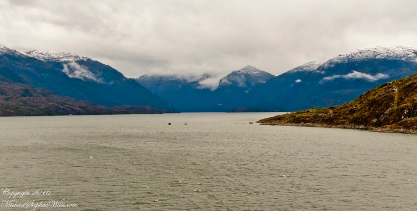
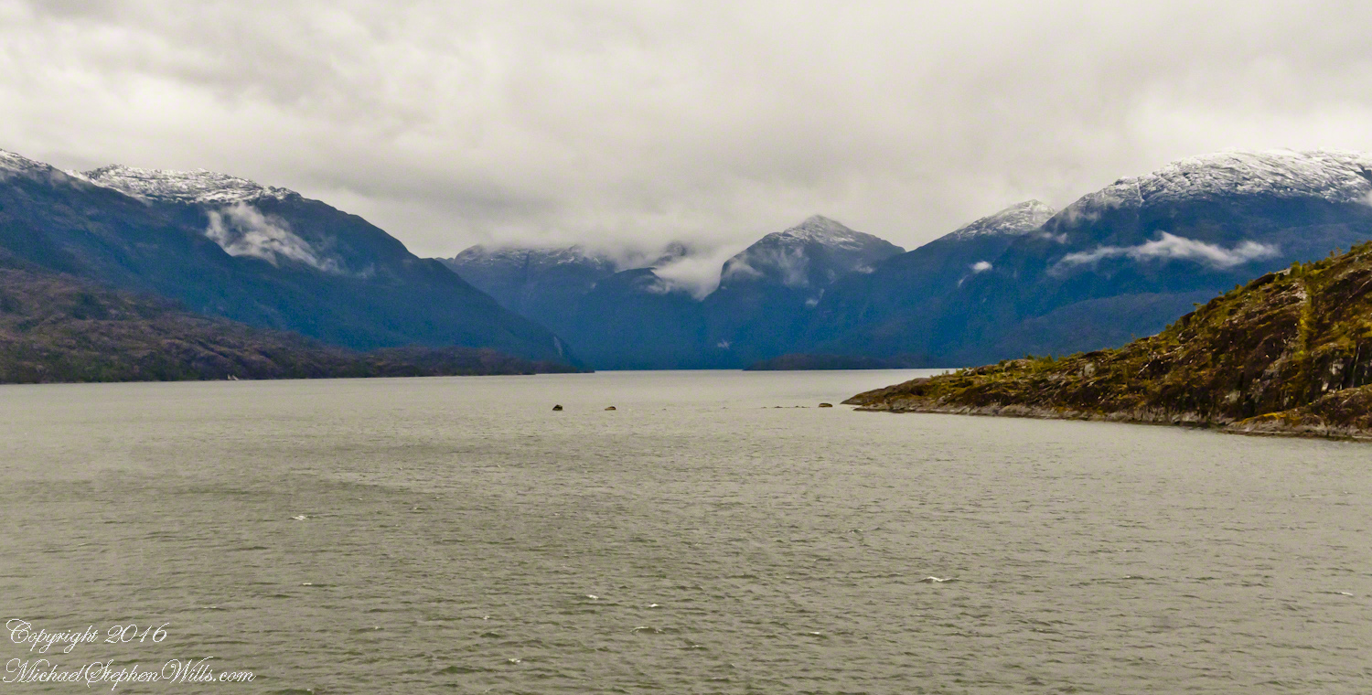
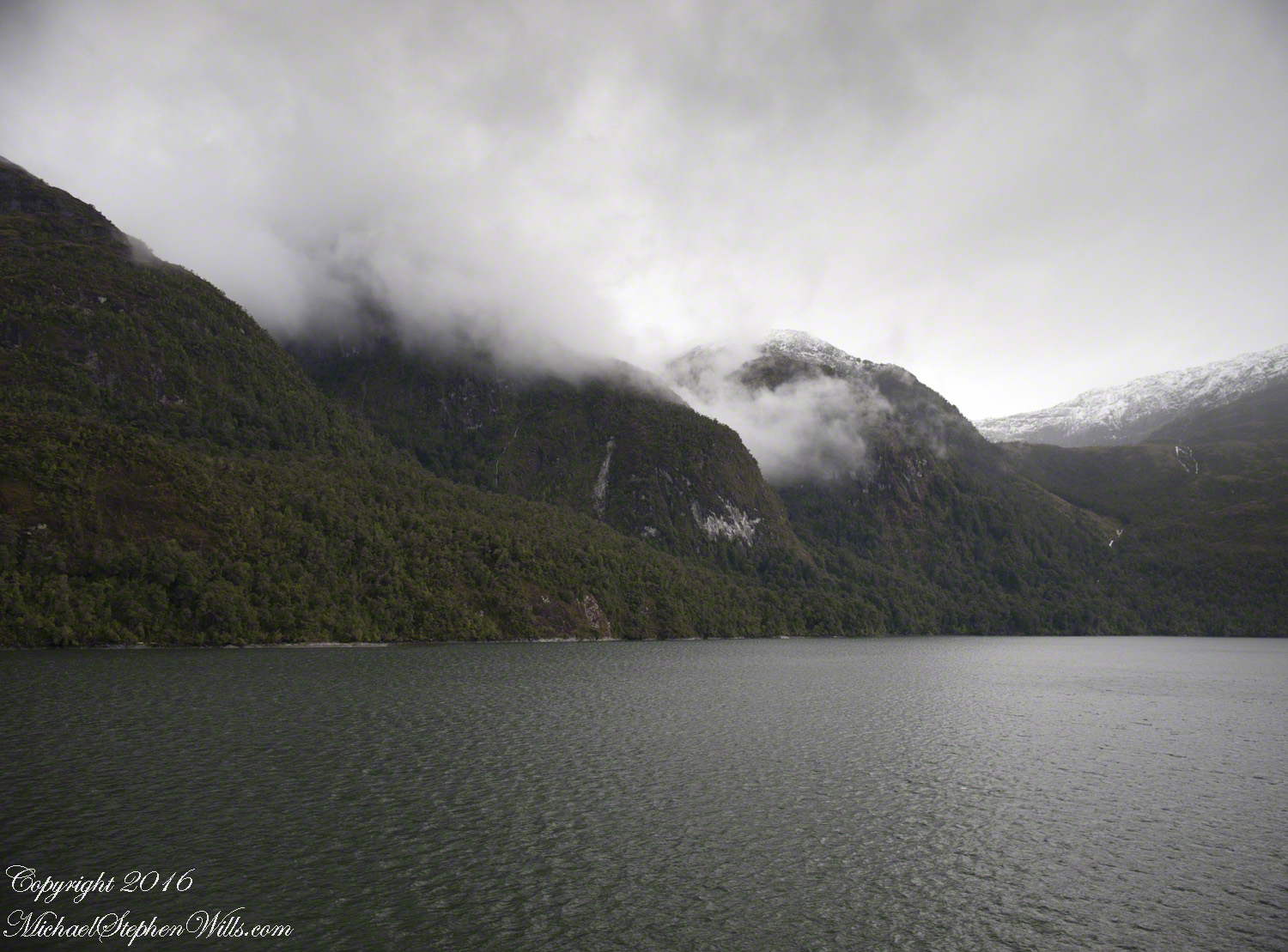
By 3:20 pm local time the Oceania was approximately 1.75 miles from the Iceberg Glacier and the captain positioned the ship for a starboard side glacier view.  From our port side stateroom terrace Pam and I had this sweeping view of the way we had come.

Tempanos Fjord is a mile across here and we have a clear view of the landslide scar feature in my last blog.  It is 7.75 miles distant, a small white patch on the fjord wall.  The landscape scar marks where the fjord bends, changing north, northeast course to an east, southeast direction.  Before the bend, the Iceberg glacier is not visible.  Turn the bend and the glacier is plainly visible in the distance if the viewer is looking over the ship bow.

Tempanos Fjord View West, Northwest– CLICK ME!!!!

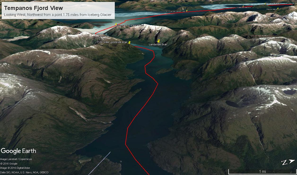
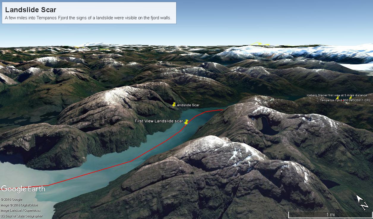
The following capture from Google Earth is the view from 14,000 feet.  Marked are the locations of the landslide scar and the ship position were I first photographed the scar on our way into Tempanos Fjord.  The red lined ship’s course may be followed out of the fjord back to the Messier Channel.  The fjord follows a course among mountain peaks and deep valleys.   A great pleasure of sailing Tempanos Fjord is the many vistas opening one to another.

Tempanos Fjord View West, Northwest– CLICK ME!!!!

(Click any photograph to visit my online gallery)
Copyright 2022 Michael Stephen Wills All Rights Reserved

A Far Country V: Landslides!!!

All is Larger than it First Appears

(Click any photograph to visit my online gallery)

By 2:45 pm local time the Oceania was almost 4 miles into Tempanos Fjord, 10.5 miles from the Iceberg Glacier, when this telling gash on a mountain buttress forming the side of one of many glacial valleys.

First View of the Landslide scar– CLICK ME!!!!

Here is the Google Earth overview of our course that day through Tempanos Fjord, as the red line. Visible is the Farquhar Fjord, to the north. Marked is the position of the scar and the approximate position where I took the first view. Where the fjord bends to the southeast the glacier is not yet visible.

Overview of Mouth of Tempanos Fjord– CLICK ME!!!!

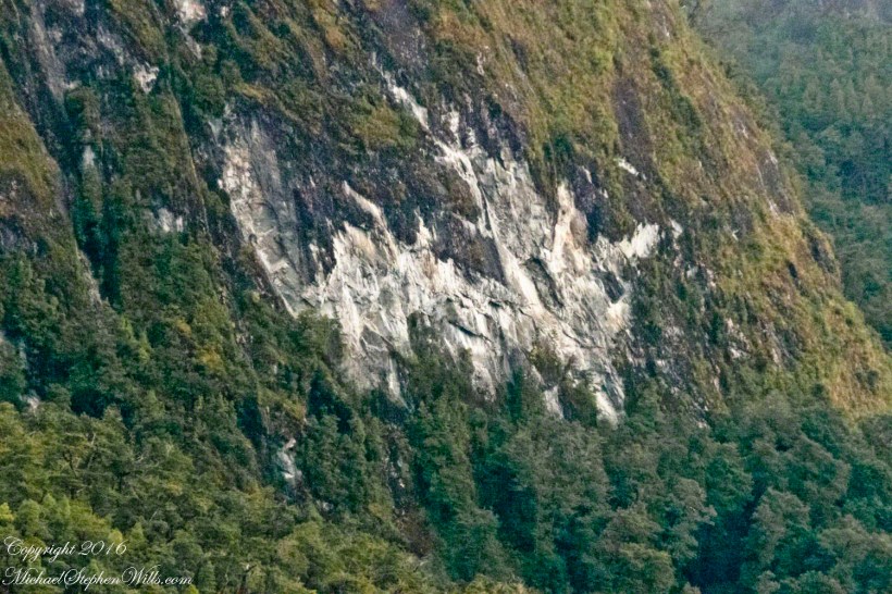
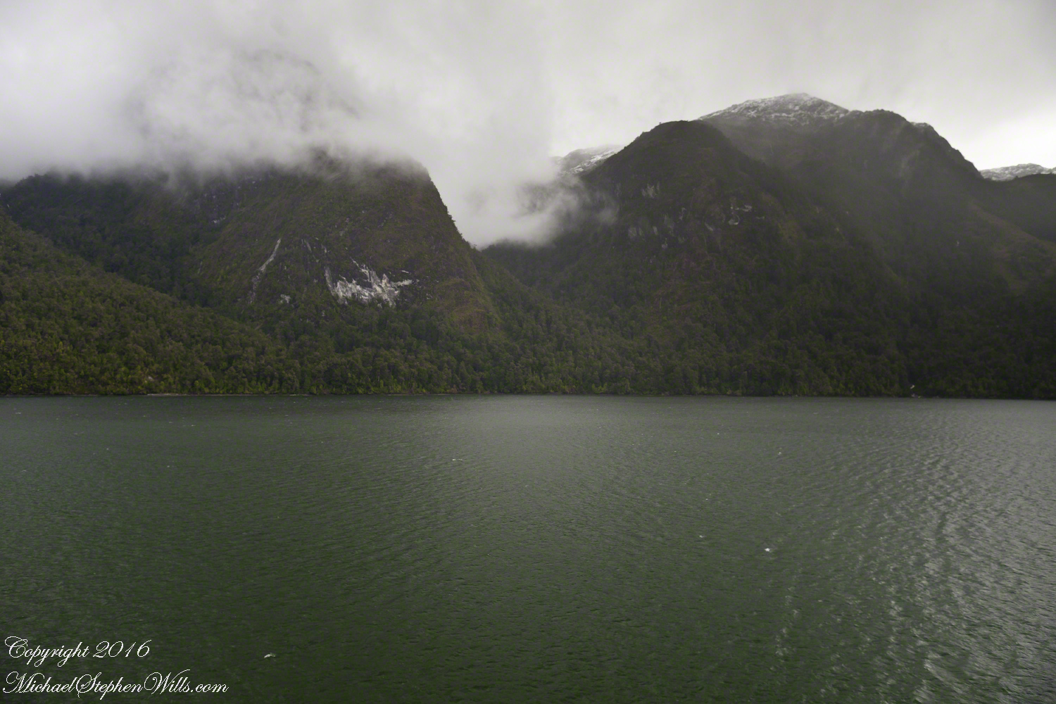
The scar, for all the rawness of the stone, is not recent. There was time for a forest to cover the destruction. The Oceania steamed past, making steady progress. The gash appeared ahead, unremarked. I wonder what the effect was after the cracks, slowly widened over decades by the ice, forced friction to give way to gravity, the mountainside sliding, perhaps, into the fjord. Hard to tell. There is no remnants of the slide visible.

Approaching the Scar -- CLICK ME!!!!

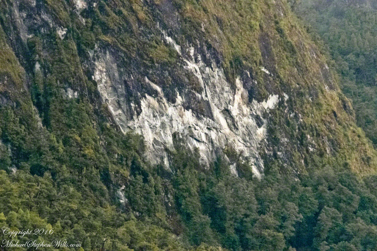
All is larger than it first appears.  Those are full size pines below the scar.  It is the steepness of the cliff face that holds off the vegetation, the whiteness of the rock the source of the apparent freshness of the gash.

Long Lens on the Scar -- CLICK ME!!!!

The mountainsides are threaded with waterfalls. Look closely to the left of the gash for a very thin line ending in a spray.

(Click any photograph to visit my online gallery)
TCopyright 2022 Michael Stephen Wills All Rights Reserved

A Far Country IV: Tempanos Fjord

The environment around Iceberg Glacier….

This is a view of the fjord countryside from the Oceania Regatta position about 4.75 miles from Iceberg Glacier . As the Regatta proceeded at the slow rate of 4.6 knots, I captured this high valley and waterfall from the position marked with the central pushpin in the following GoogleEarth image from 14,000 feet altitude.

CLICK ME!!!!

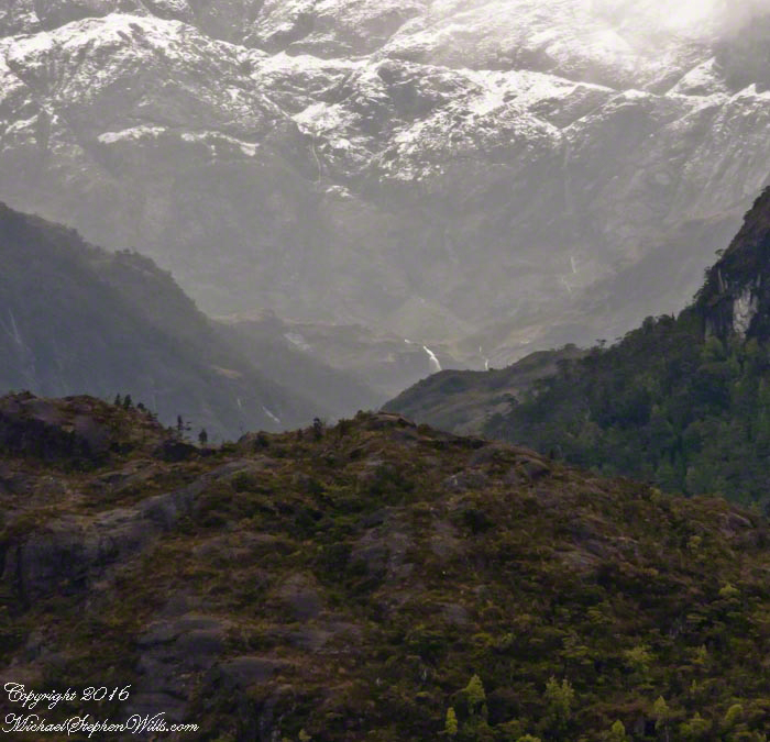
The following photograph is the view North.  The far waterfalls are fed by two mountain top lakes, waters that feed into Tempanos Fjord.  We are in the Chilean Aisen (also spelled Aysen) Region (XI) looking into a valley between Tempanos, Farquhar and Bernardo fjords.  This island and valley has NO name, as far as I can tell.  The region is uninhabited, part of the Bernardo O’Higgins National Park.

A Far Country: Tempanos Fjord 004

This was taken with a handheld Sony DSLR-A700, the variable lens at 200mm, 1/800 sec at f/13.

Views of Larenas and Fresia Peninsulas

mountainous crags over the Pacific Ocean

In English the Gulf of Penas means “Gulf of Distress.”  Open to the storms of the western pacific ocean, ships seeking refuge sail this body of water to reach the shelter of the bays around the entrance of the Messier Channel.

Stargazing Chileans named the channel after Charles Messier (1730 – 1870), author of a catalog of 110 visually diffuse celestial objects such as the Great Cluster of Hercules, the Crab Nebula of Taurus, the Ring Nebula of Lyra.  As Messier catalog objects these are listed on star charts as M13,M1,M57.

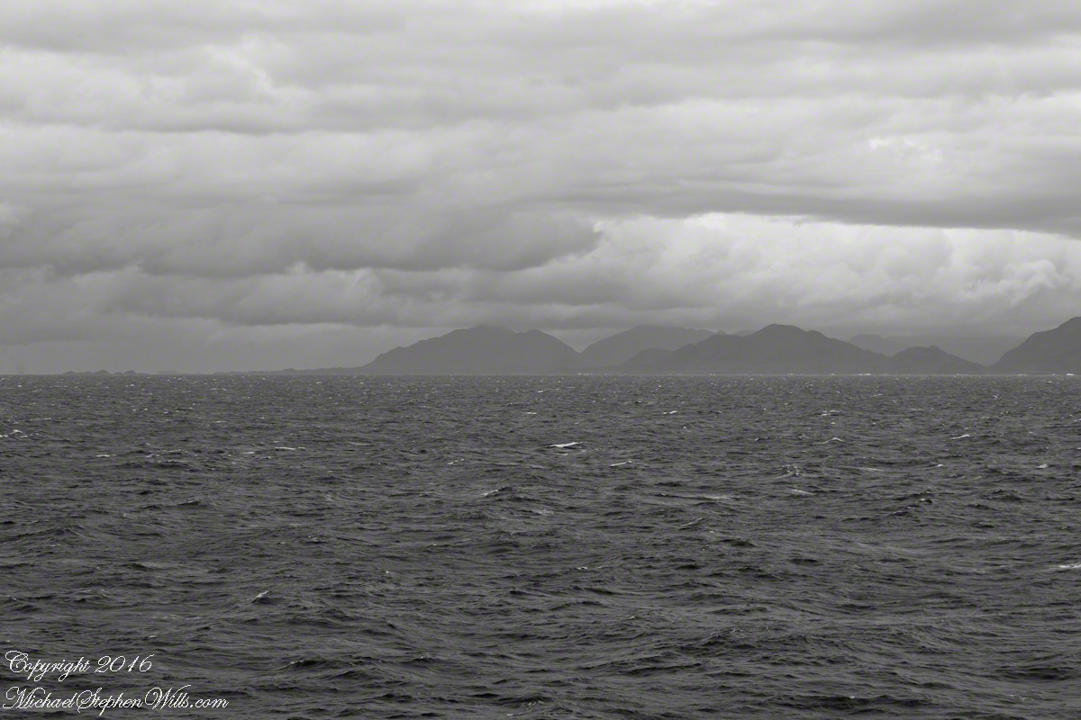
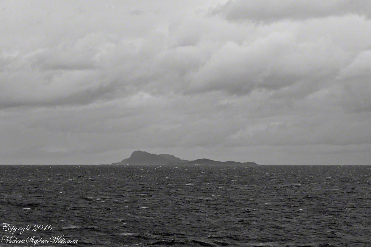
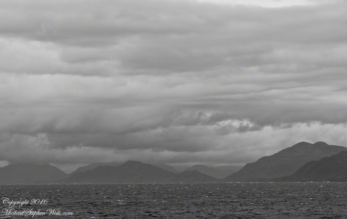
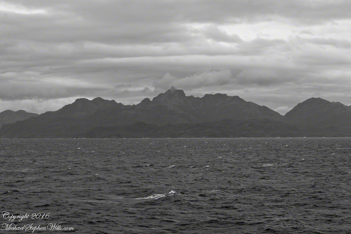
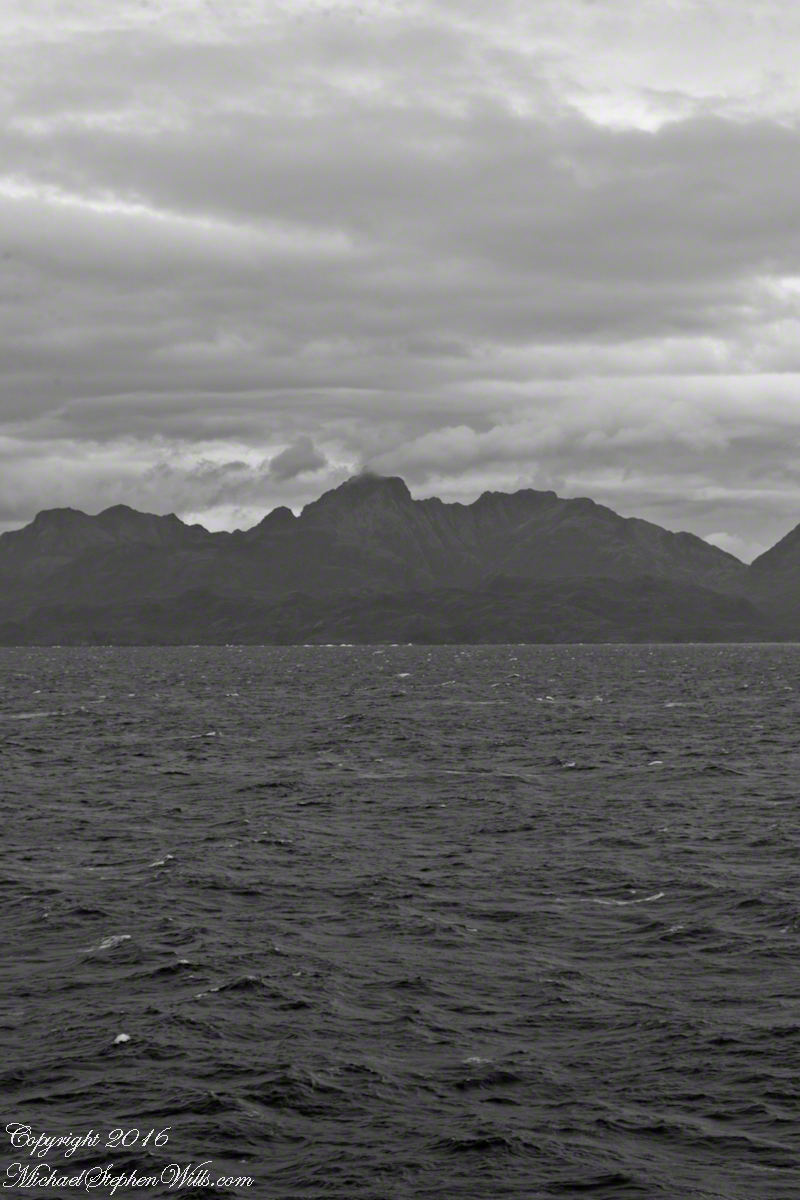
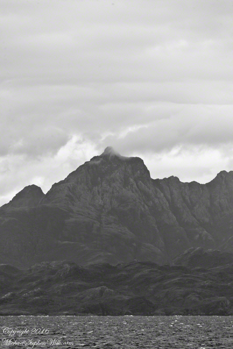
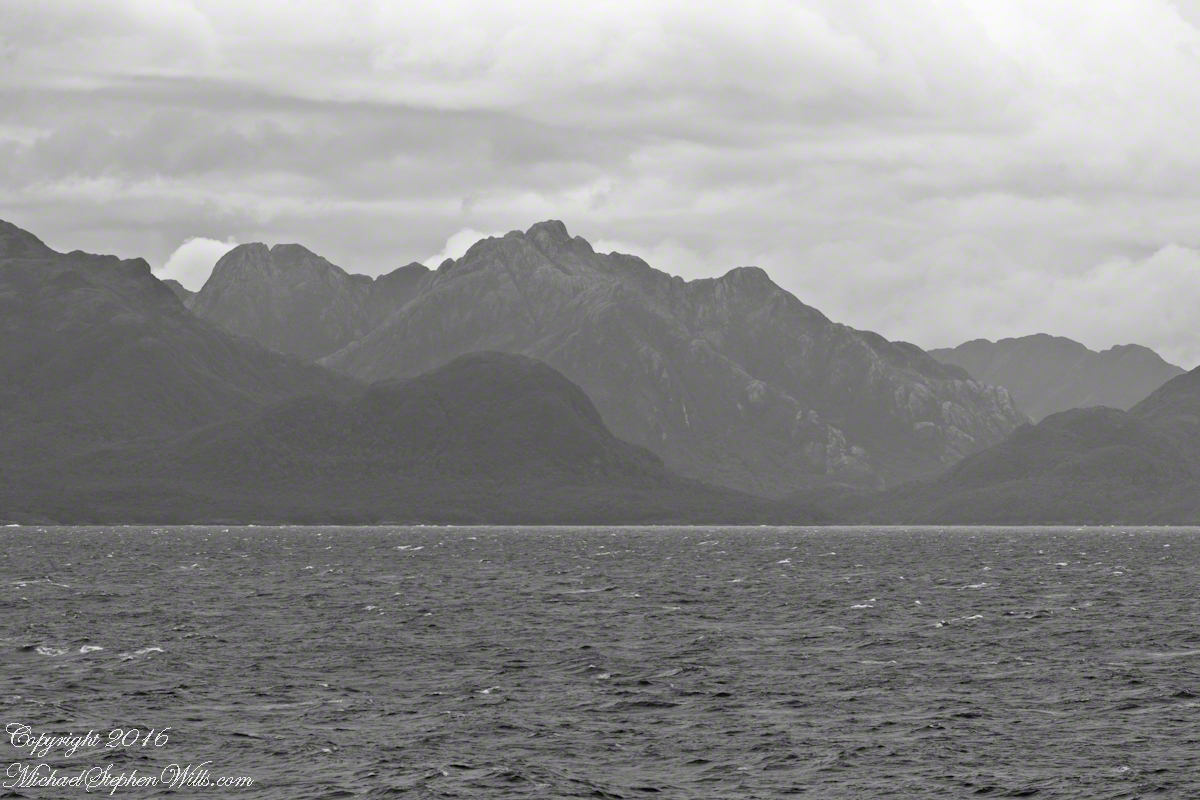
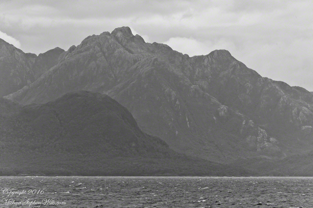
The Larenas and Fresia peninsulas of Aisen Province, Chile, on the southeastern shores of the gulf are seen here as we approach the Messier Channel.  The shore is dotted with islets and islands.  The Chilean pilot who came aboard at Puerto Chacobuco is earning his salary, keeping us safe.  To reach the channel we pass through Tarn Bay, generally north to south.  The southern margin of the bay is marked by Sombrero Island, the subject of my next blog.

Want more? Visit my on-line gallery.

Larenas Peninsula and Merino Islets
Close-up of the Merino Islets
Ayautau Isles
Ayautau Isles
Larenas Peninsula from Gulf of Penas
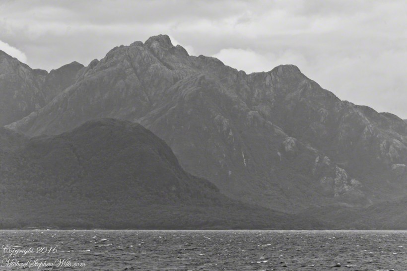
The Northern Patagonian Ice Fields lay to the east and north of these mountains of the Larenas Peninsula.
High Ridge of the Larenas Peninsula
Larenas Peninsula High Ridge
Larenas Peninsula High Ridge 2
Larenas Peninsula High Ridge Close 3
The craggy heights of the Larenas Peninsula
The craggy heights of the Larenas Peninsula are in the rear. On the right are Fresia Point (of the eponymous peninsula) and the entrance to Fjord Eloisa.
Larenas Peninsula High Ridge Closer 5

Moll’s Gap on Getty

Happy New Year….starting it off right

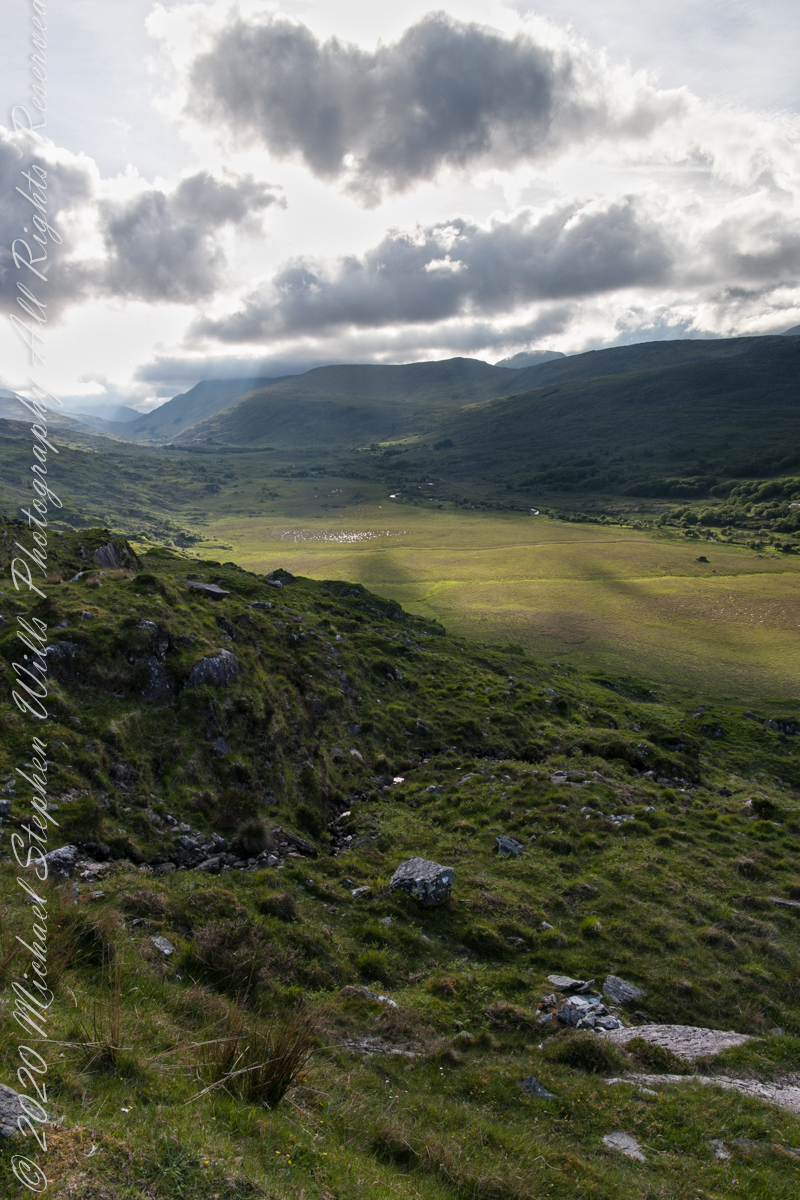
We are near Molls Gap on the Ring of Kerry. At our feet is Eric townland, there’s an eponymous Bog Nature Reserve down there. At our feet is Eric townland, there’s an eponymous Bog Nature Reserve down there.

Click me for the two (2) Molls Gap photographs accepted and published by Getty.

Click pic for larger view in a new browser tab. If you are in WordPress Reader, open the post to use this feature.

Copyright 2021 Michael Stephen Wills All Rights Reserved

Seven Ladies View Accepted by Getty

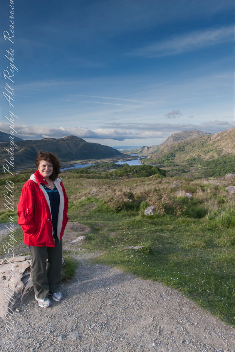
My wife, Pam, at Ladies View, on the Ring of Kerry

Here we are, on the road from Kenmare to Killarney, N71, part of the Ring of Kerry around the Iveragh Peninsula. The view was celebrated by Queen Victoria’s Ladies-in-Waiting during an 1861 tour of Ireland

Click me for the seven (7) Ladies View photographs accepted and published by Getty.

Click pic for larger view in a new browser tab. If you are in WordPress Reader, open the post to use this feature.

Copyright 2021 Michael Stephen Wills All Rights Reserved

Ladies View 10

last version

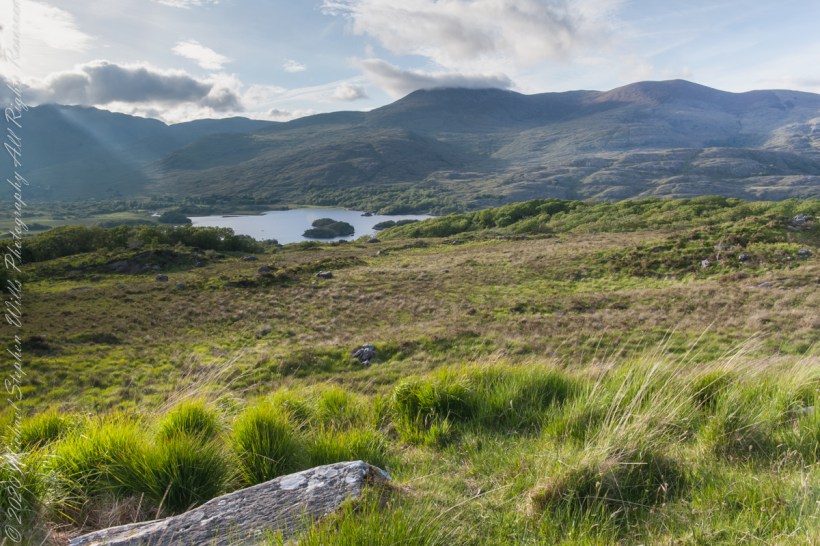
Here we are, on the road from Kenmare to Killarney, N71, part of the Ring of Kerry around the Iveragh Peninsula. The view was celebrated by Queen Victoria’s Ladies-in-Waiting during an 1861 tour of Ireland

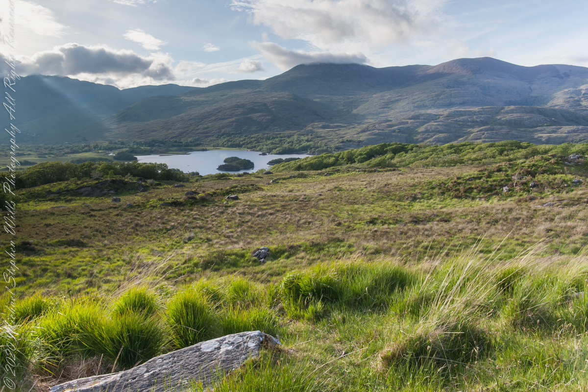
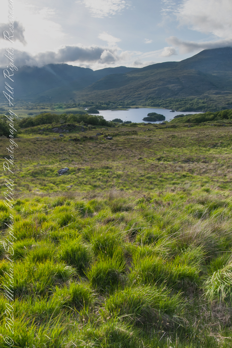
Here the camera, link #9, is turned toward the sun, low in the evening sky, emerging from clouds with a bright sunbeam on Upper Killarney Lake. The previous view was portrait orientation. This is landscape orientation.

Click pic for larger view in a new browser tab. If you are in WordPress Reader, open the post to use this feature.

Copyright 2021 Michael Stephen Wills All Rights Reserved

Ladies View 9

Derrycunihy Townland, County Kerry, Republic of Ireland

Here we are, on the road from Kenmare to Killarney, N71, part of the Ring of Kerry around the Iveragh Peninsula. The view was celebrated by Queen Victoria’s Ladies-in-Waiting during an 1861 tour of Ireland

Here the camera is turned toward the evening low sun, behind clouds, with subtle light beams. That is Upper Killarney Lake, the Gap of Dunloe behind the far hills.

Click pic for larger view in a new browser tab. If you are in WordPress Reader, open the post to use this feature.

Copyright 2021 Michael Stephen Wills All Rights Reserved

Ladies View 8

the penultimate

Here we are, on the road from Kenmare to Killarney, N71, part of the Ring of Kerry around the Iveragh Peninsula. The view was celebrated by Queen Victoria’s Ladies-in-Waiting during an 1861 tour of Ireland

We are almost done with this series….sorry to leave this place.

Click pic for larger view in a new browser tab. If you are in WordPress Reader, open the post to use this feature.

Copyright 2021 Michael Stephen Wills All Rights Reserved