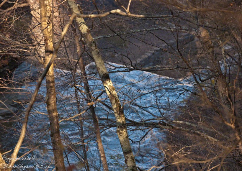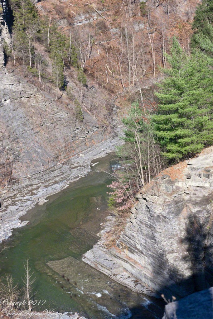
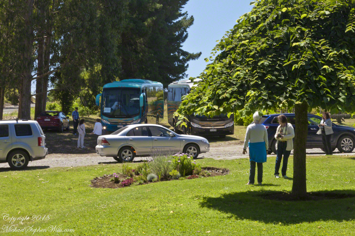
Our tour of Chilean Lake Country and Volcanoes began from the harbor of Puerto Montt, in the tender we boarded from the ship Regatta. This is a small boat carried in the hold and deployed to transport passengers to ports without docking facilities. Once on land, we met our guide for the day and boarded the bus.
I have yet to post about our first stop, Puerto Varas, a 20 minute ride and our first exposure to the influence of 19th Century German settlers seen, from our bus windows, in the architecture. Today’s post is about our lunch stop, a restaurant half way between Puerto Varas and Ensenada.
Click any photograph for a larger view.
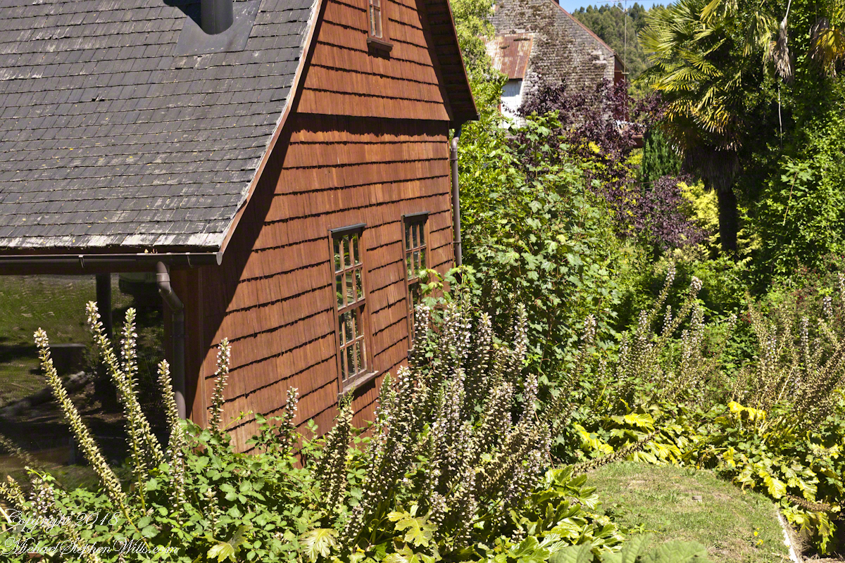
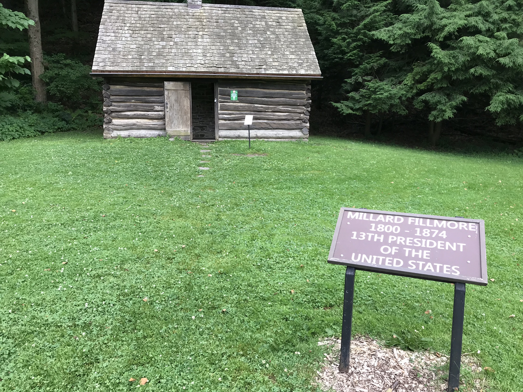
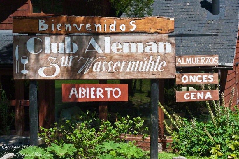
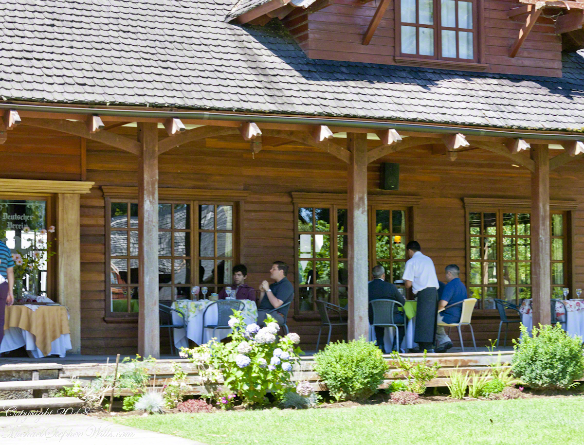
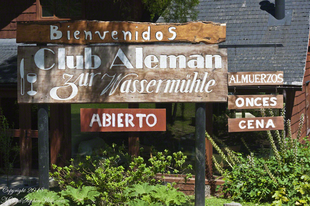
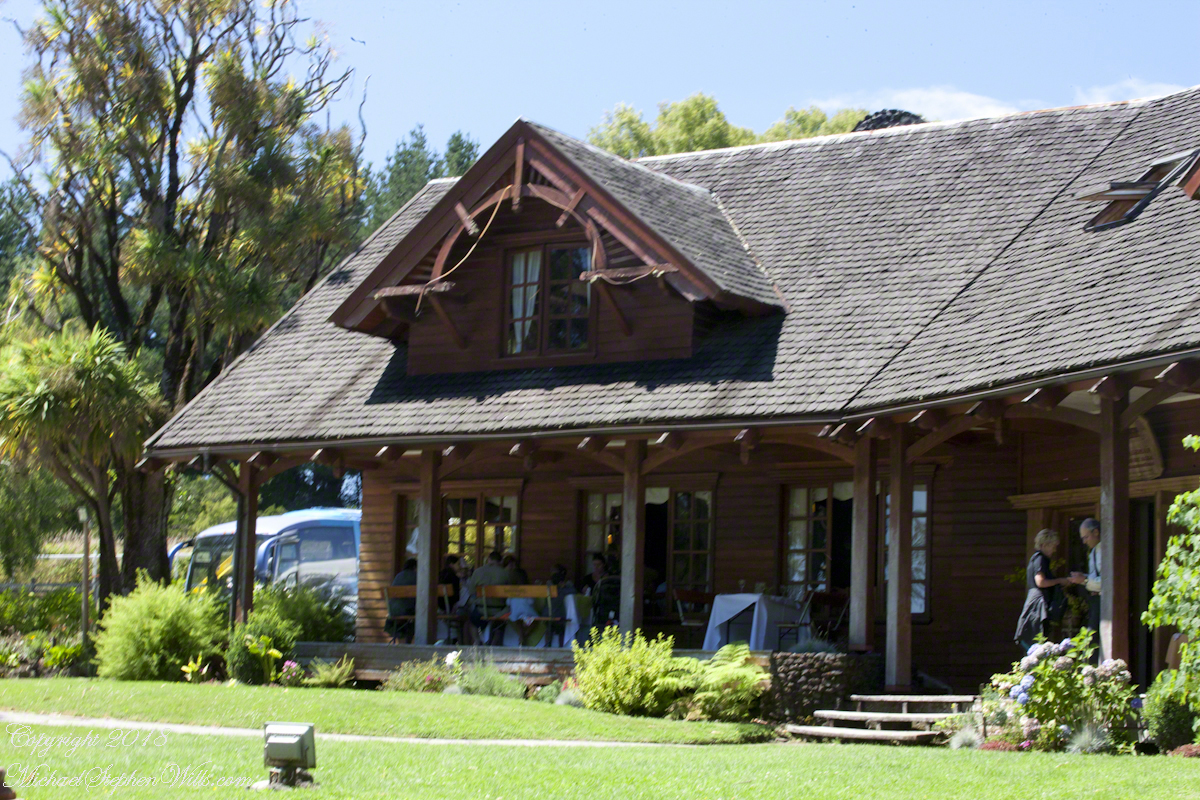
Club Aleman Molino de Agua
Club Alemans (German Clubs) are found in Puerto Montt, Puerto Varas, and here. Each is a gathering place for locals to celebrate their heritage, a feeling somewhat diluted over time to where, now, they speak of themselves as “Chileans of German extraction” and the great majority speak Spanish at home and are exposed to the German language as school courses.
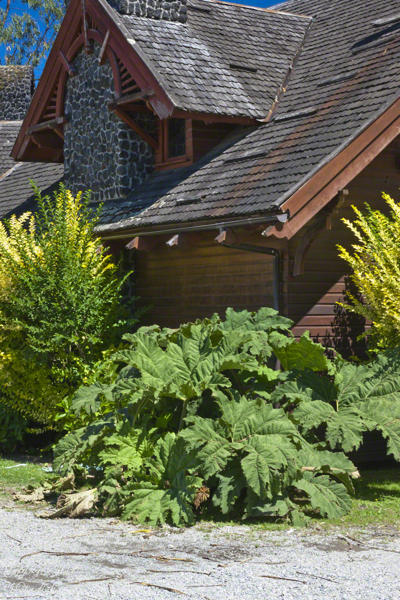
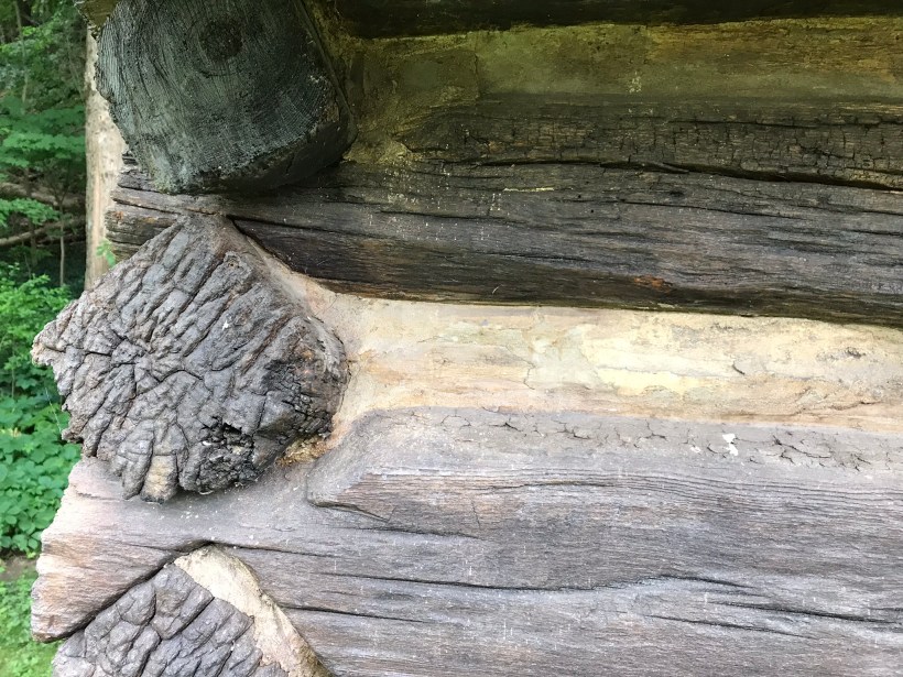
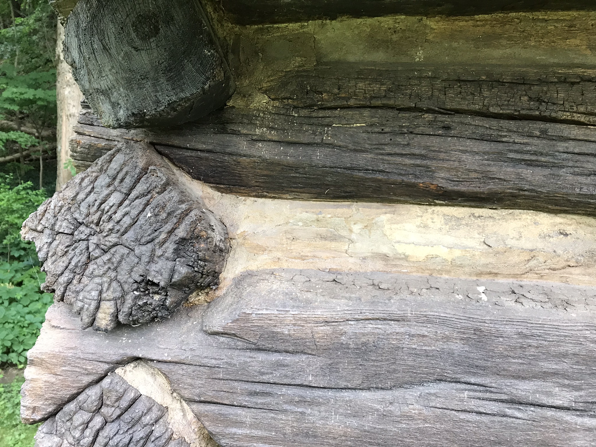
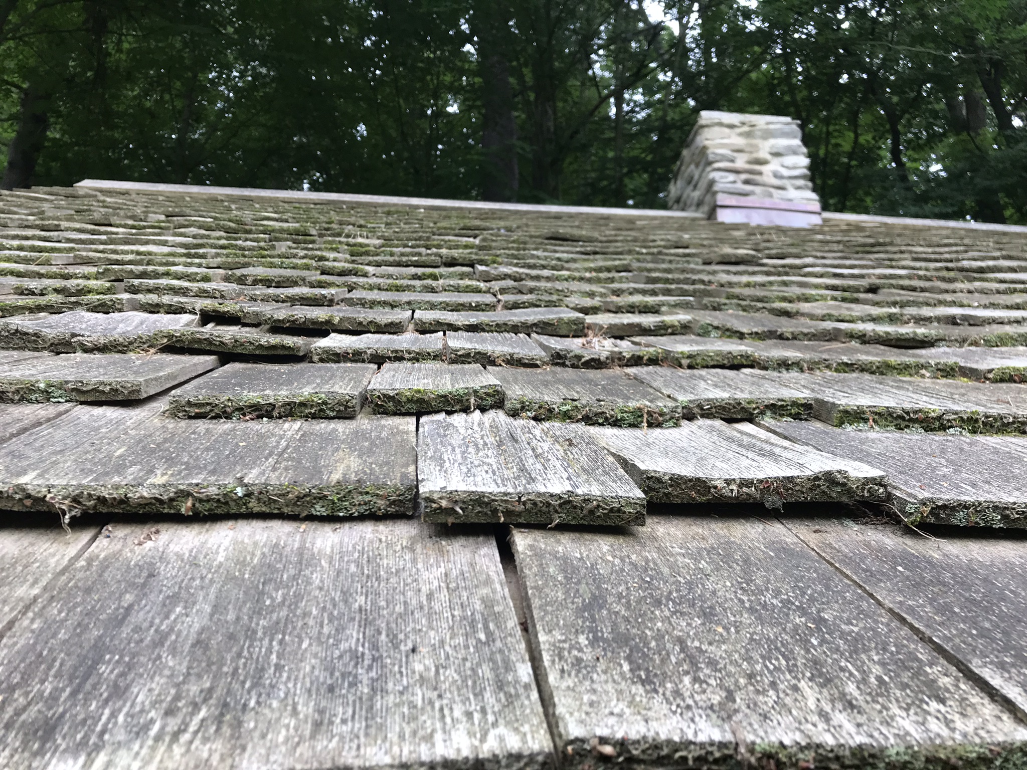
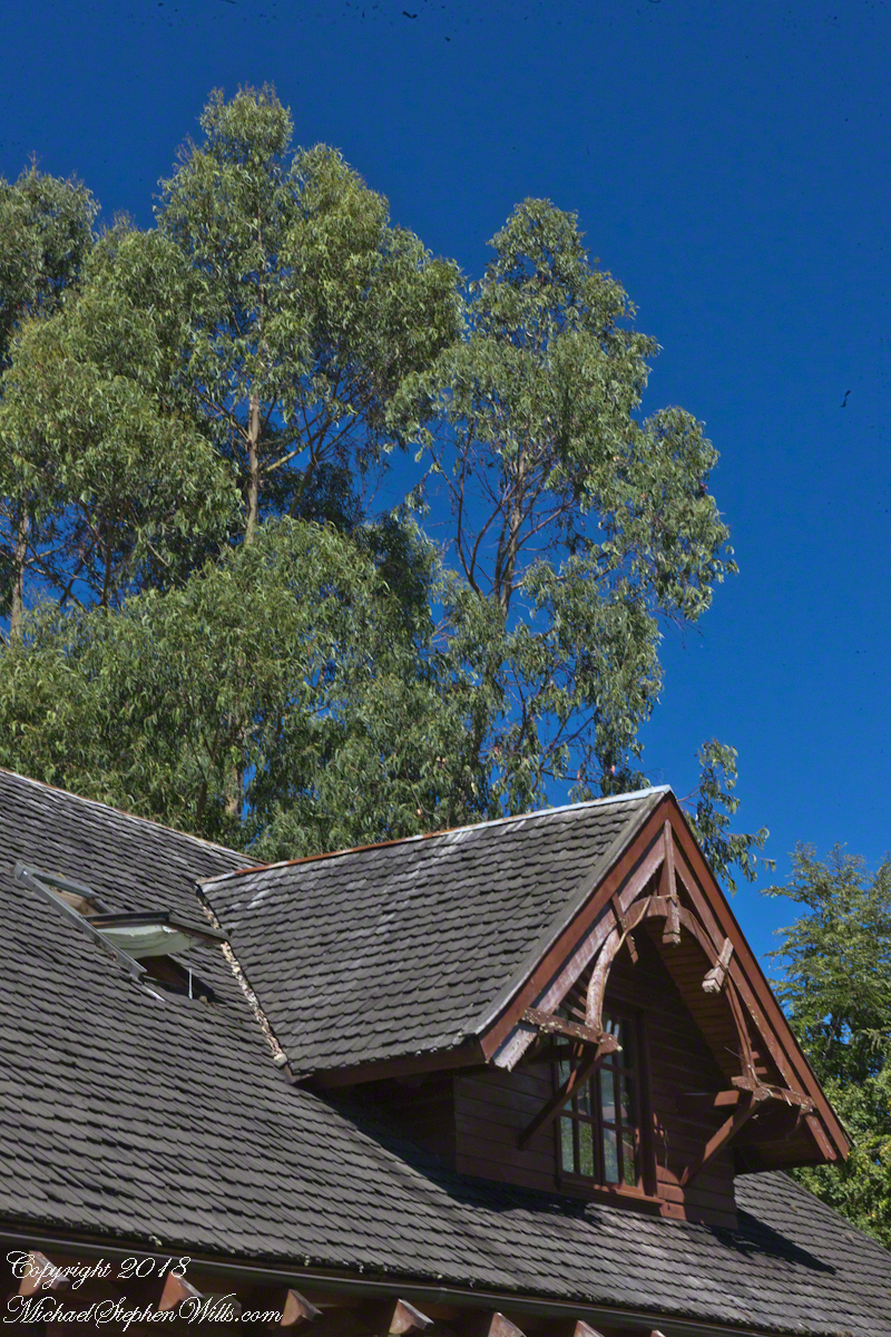
For past generations, the link was stronger, German was the language spoken at home and there was homesickness for the cultural traditions left behind and somewhat alleviated by the similarity of Chilean Lake Country to foothills of the Alps. Once established, the settlers duplicated the architectural features using local wood. Notably, many houses are clad with shingles from the Alerce (also known as Fitzroya cupressoides), a type of Cypress native to southern Chile and Argentina. The roof shingles of Club Aleman, seen below, were of this type.
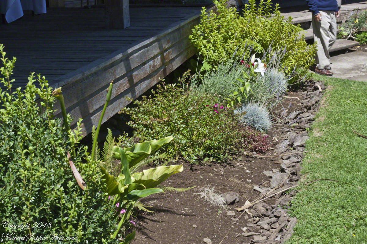
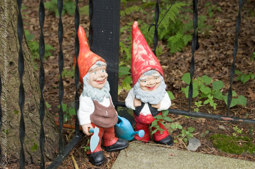
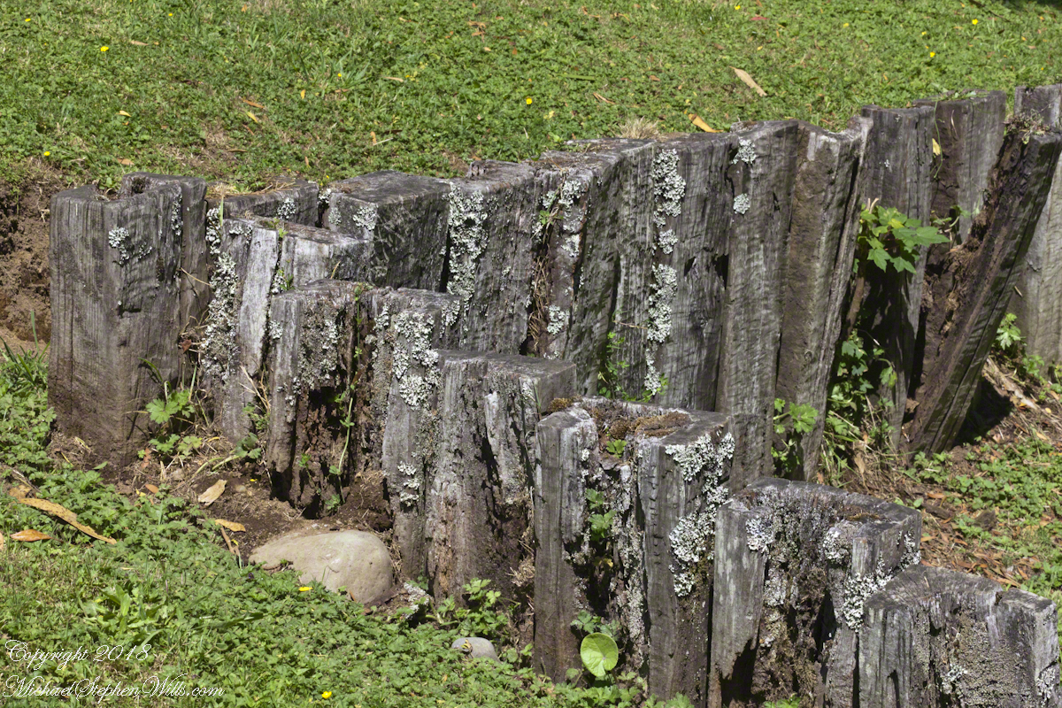
The “watermill” is a nostalgic, sentimental reference echoed in architectural and decorative details throughout the property, such as this series of posted set to suggest a device used to control water flow. There is no water flowing through the property.
Our lunch was excellent Chilean fare, but I don’t recall what it was, exactly and I didn’t photograph the interior. For us, an plus of using these cruise tours is all the details are taken care of, releasing us to maximize our enjoyment of the surroundings.
A dark side to these settings was the attraction the area had to un-remorseful Nazis fleeing war crime prosecution. In Chile and Argentina they found refuge in the 1940’s, 50’s and were supporters of the Pinochet dictatorship. None of this history was presented by our excellent guide, nor was it reflected in these rustic charms.
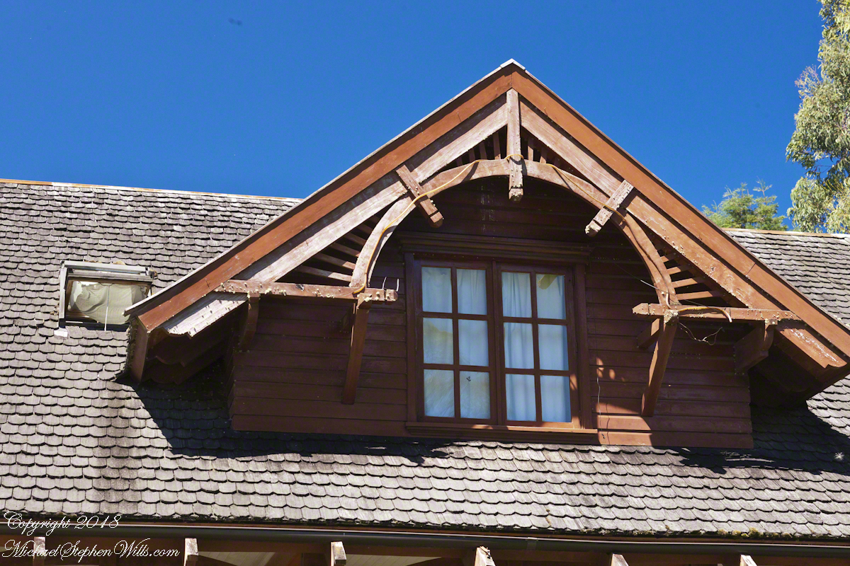
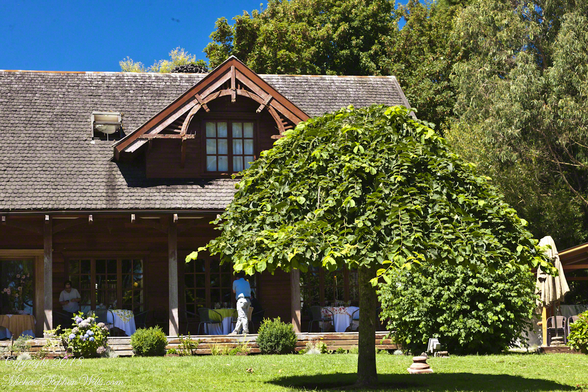
I was fascinated, for some reason, by the two dormers of the main building root with the wheel-like decoration.
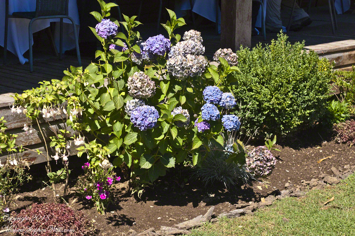
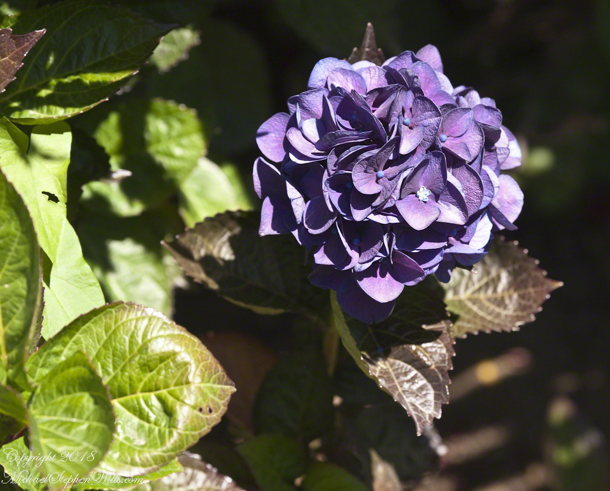
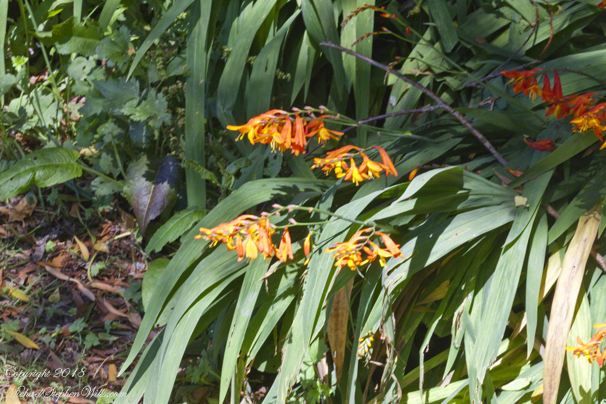
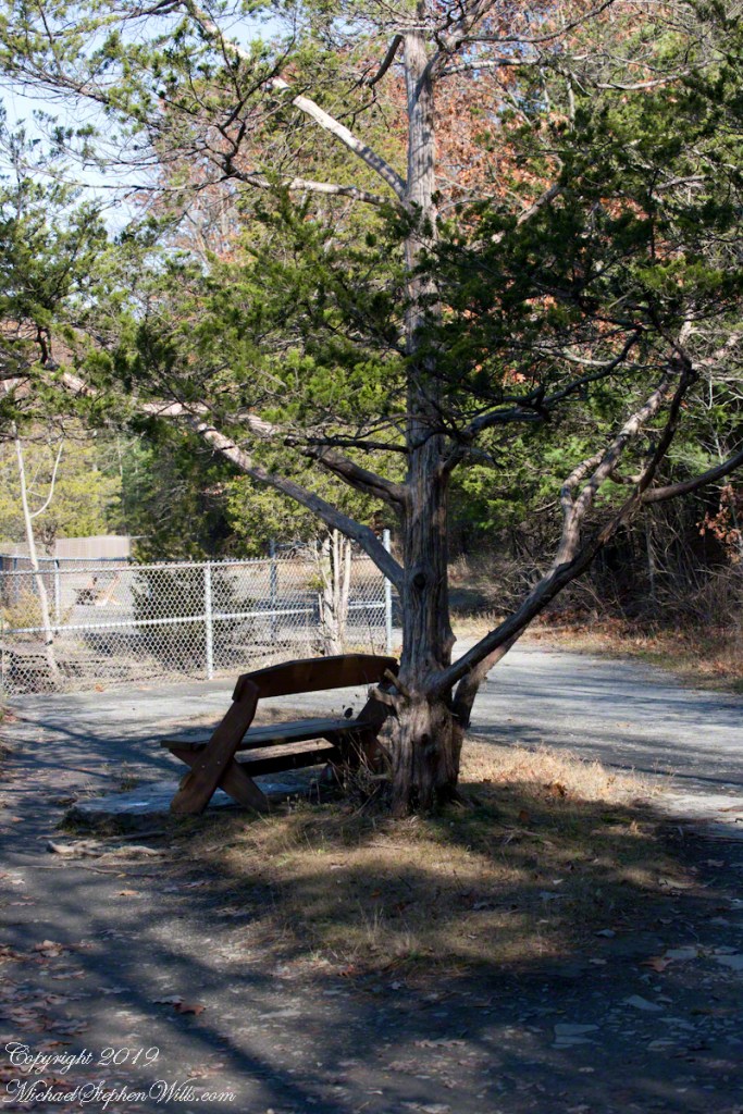
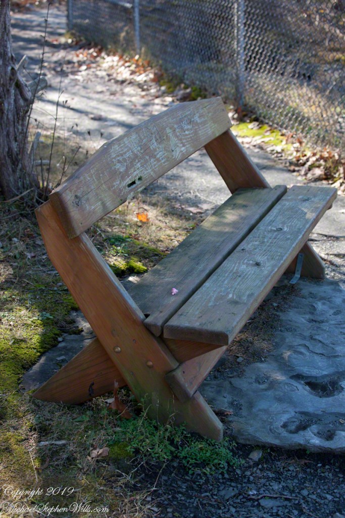
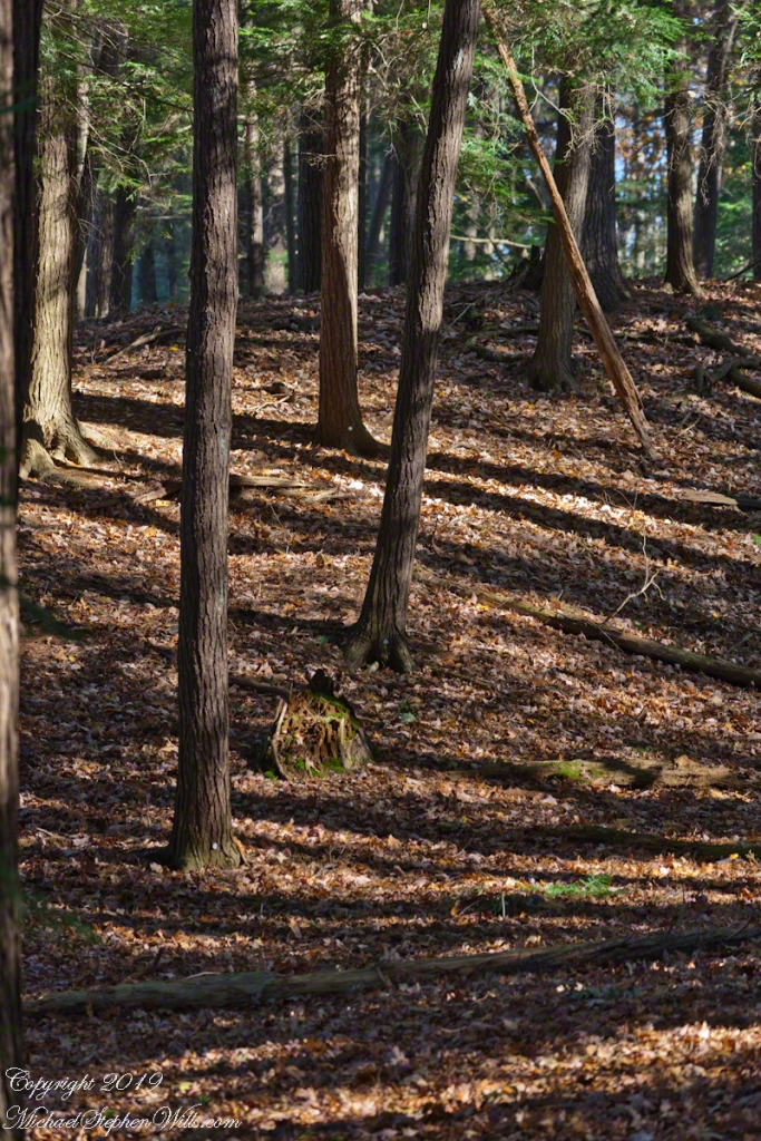
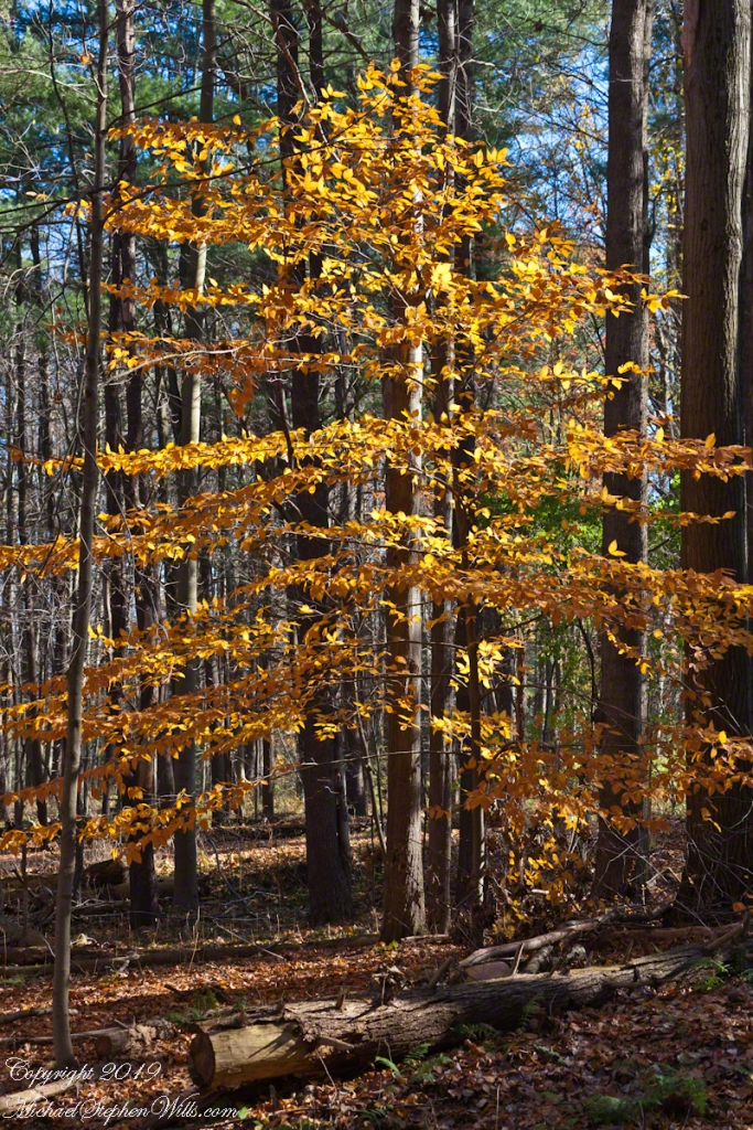
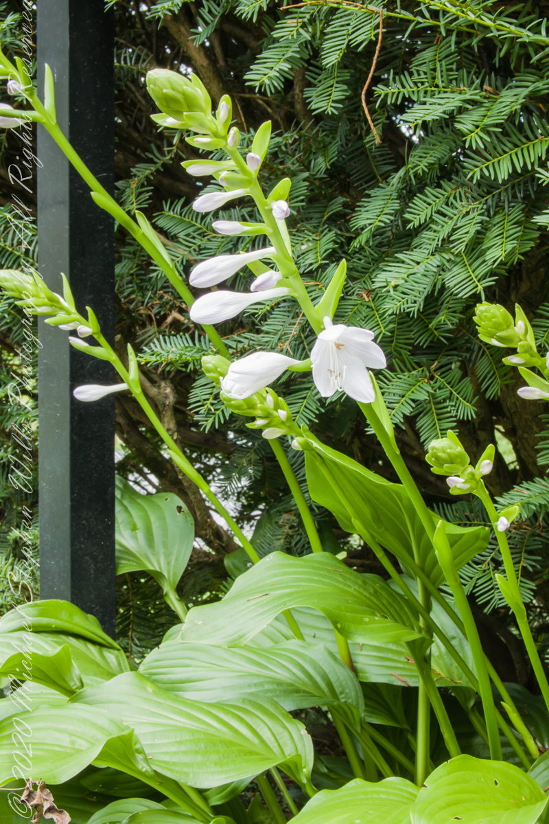
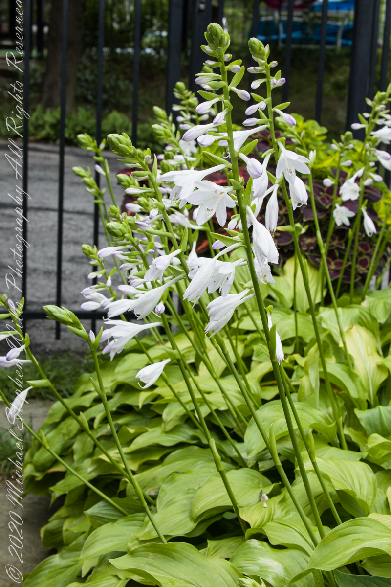
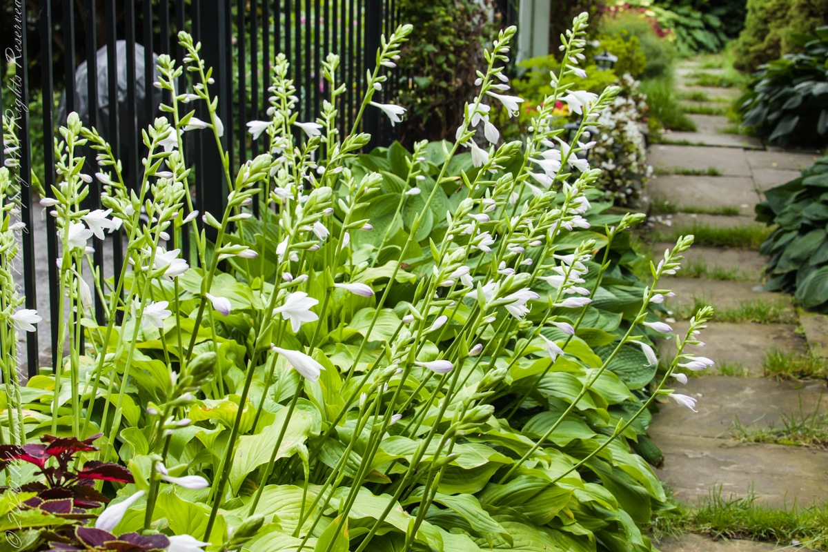
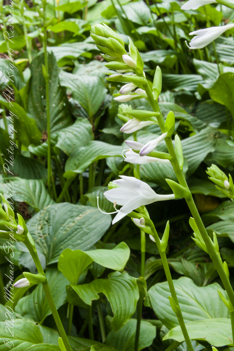
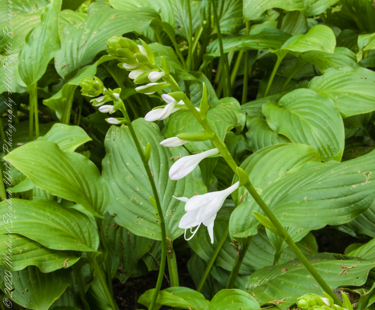
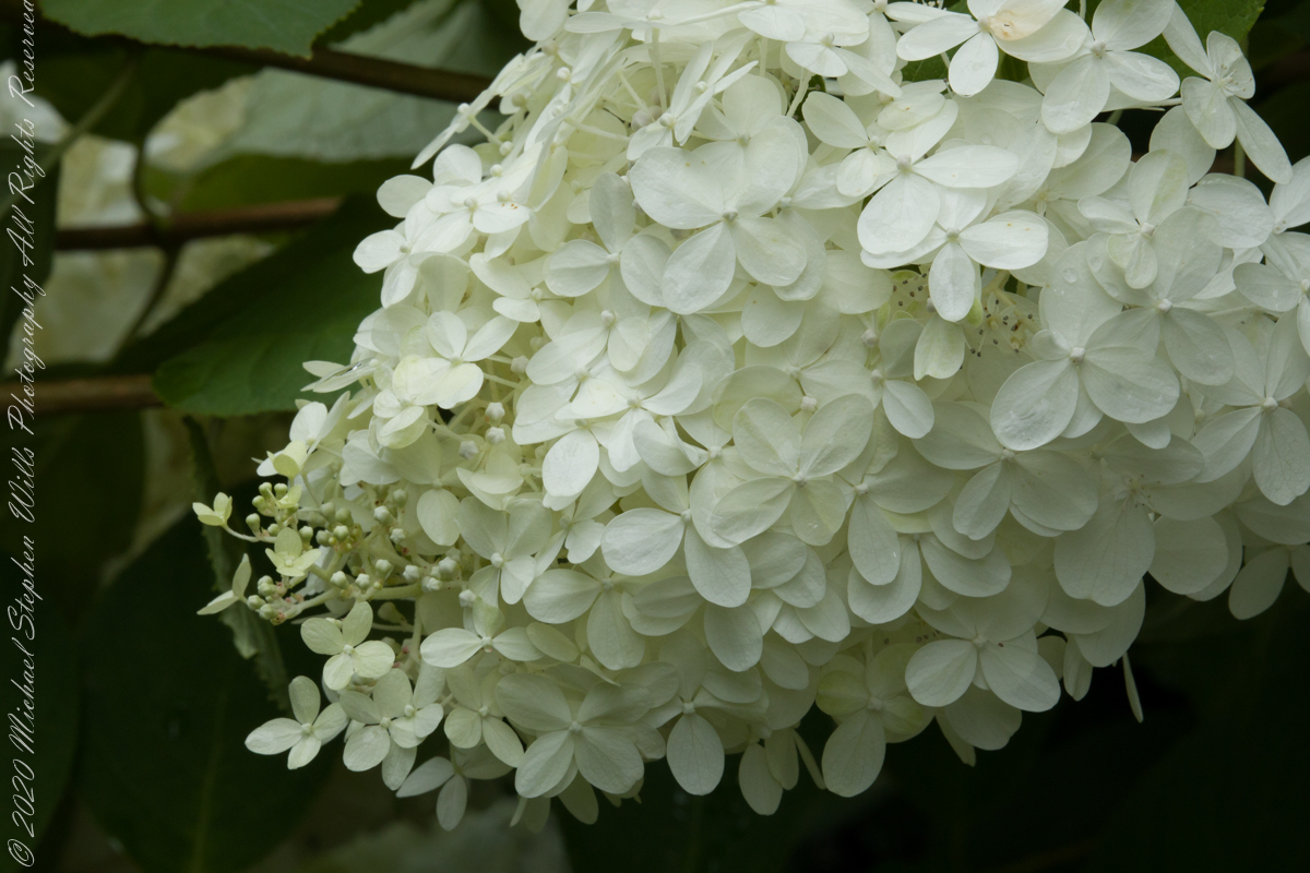
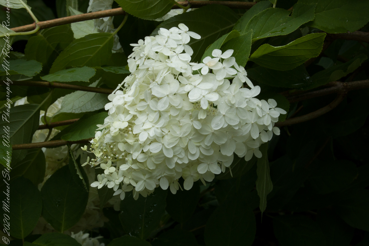
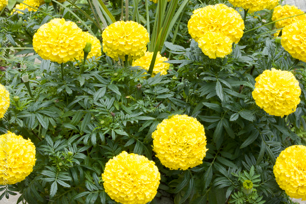
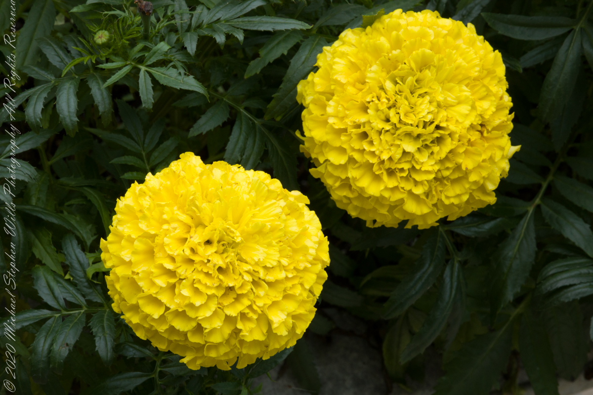
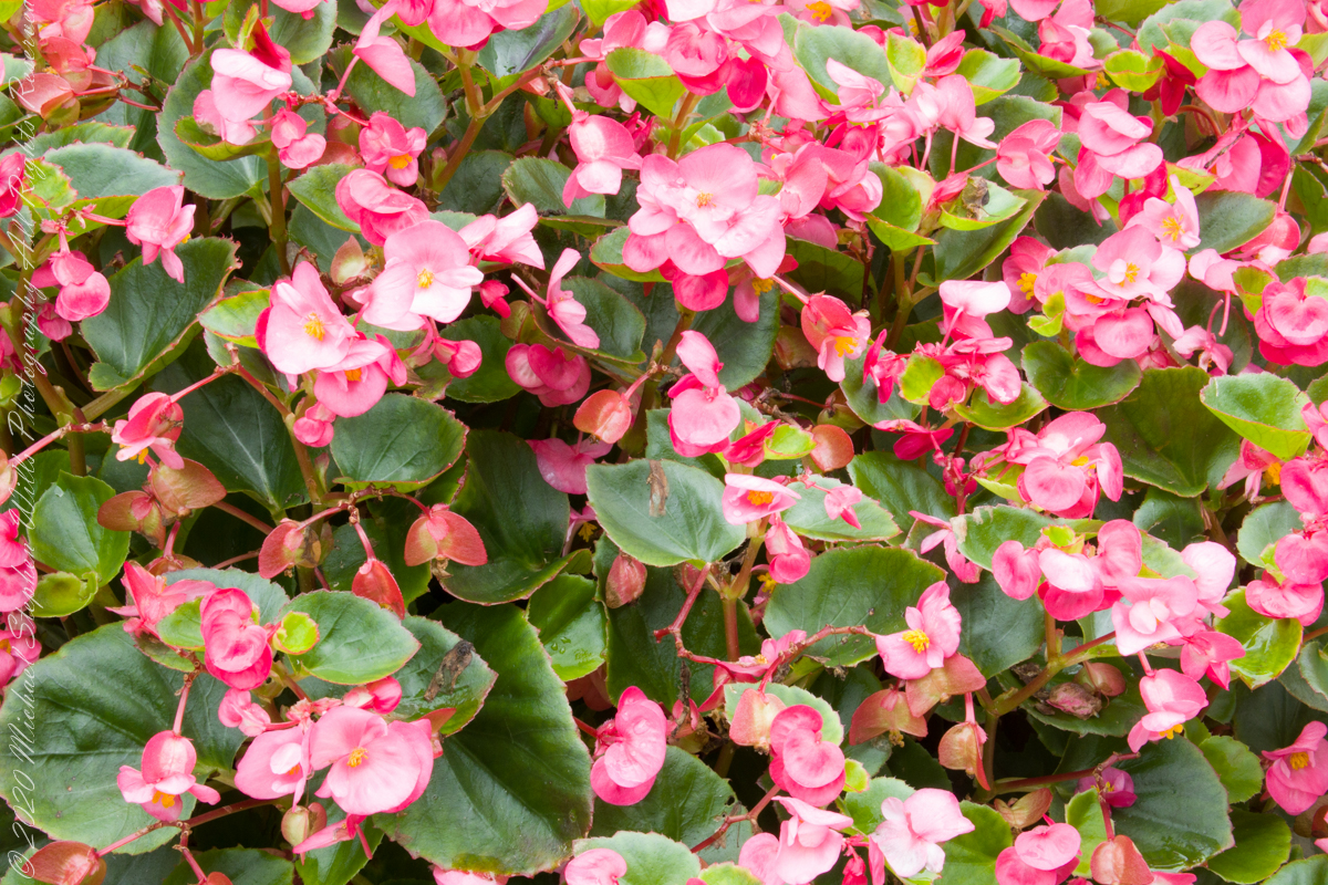
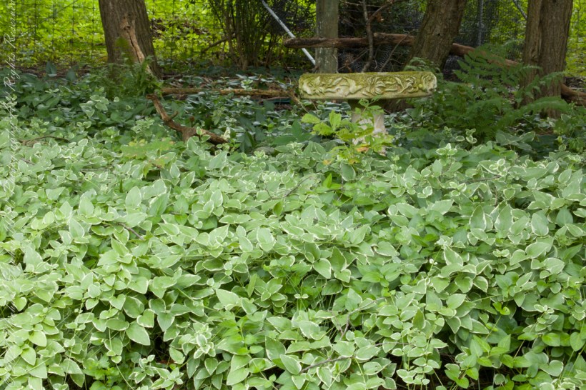
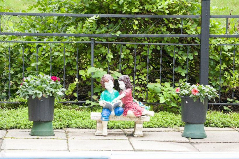
The Garden