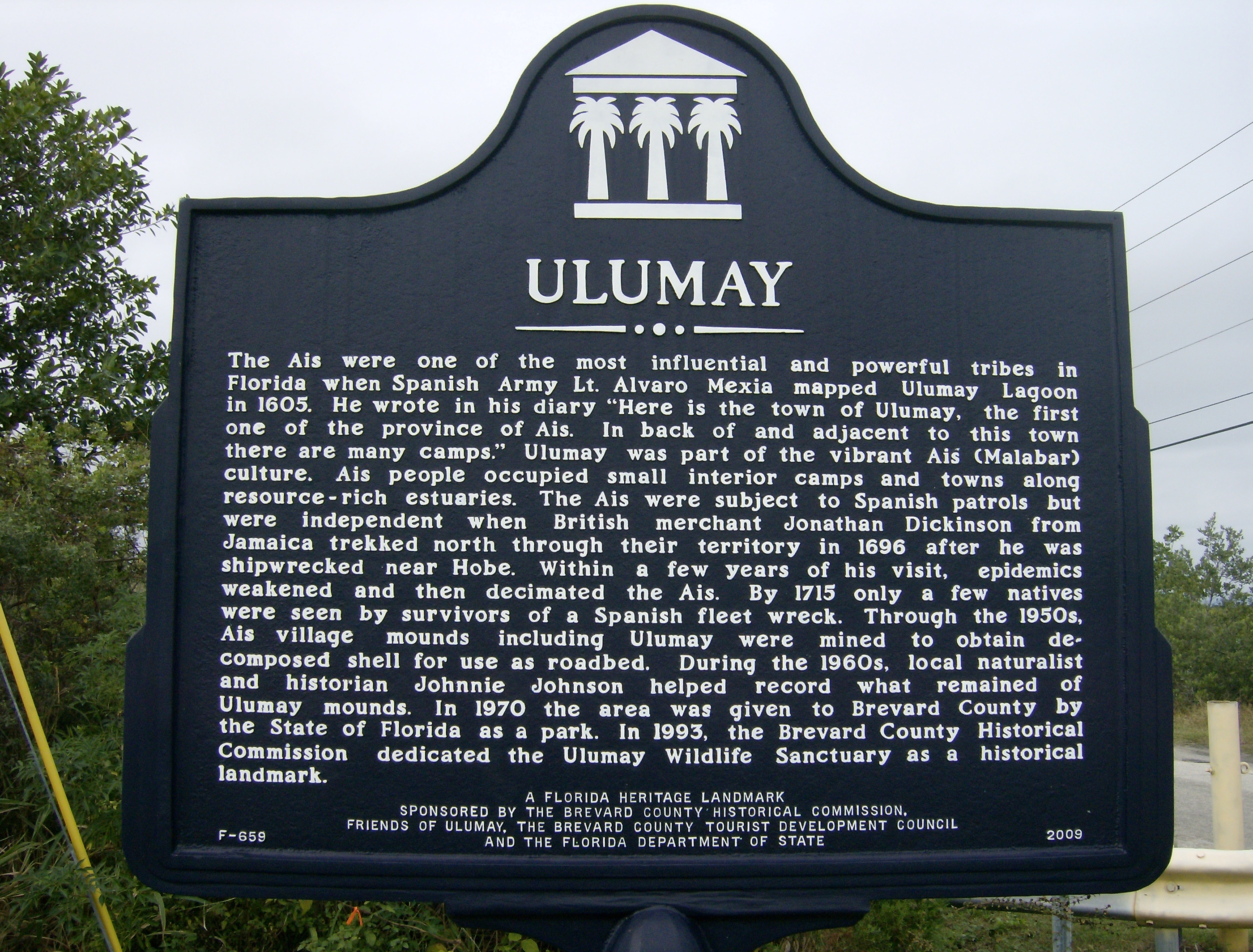
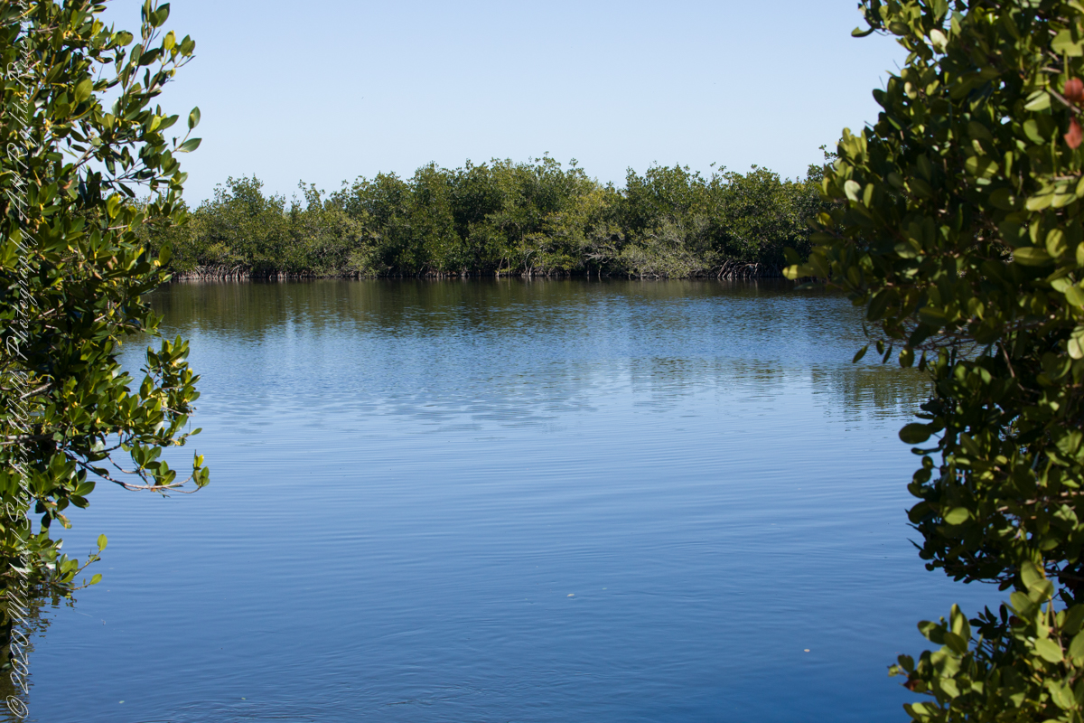
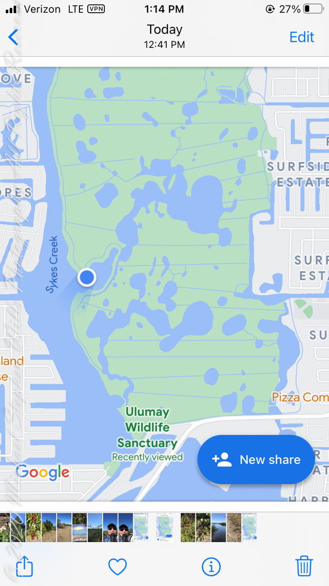
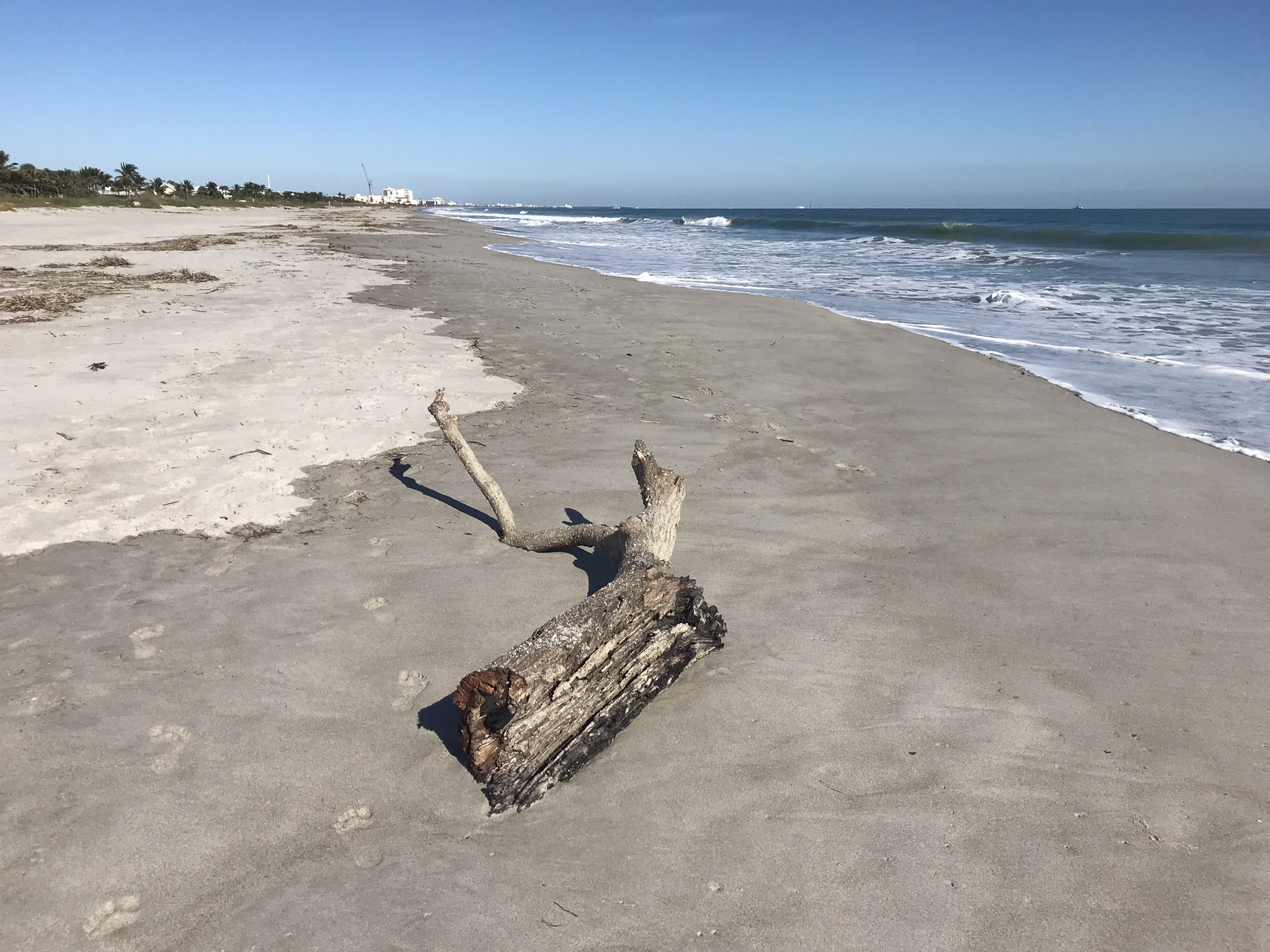
Ulumay is the name of the Native American settlement of the Ais people decimated by disease after the arrival of Europeans. The park is a natural lagoon and bird rookery linked with canals created for mosquito control and surrounded by a manmade dike. A trail on the dike provides access to the waterways for the fisherman, birdwatchers, and paddlers.
Ulumay Marker just off Sykes Creek Parkway
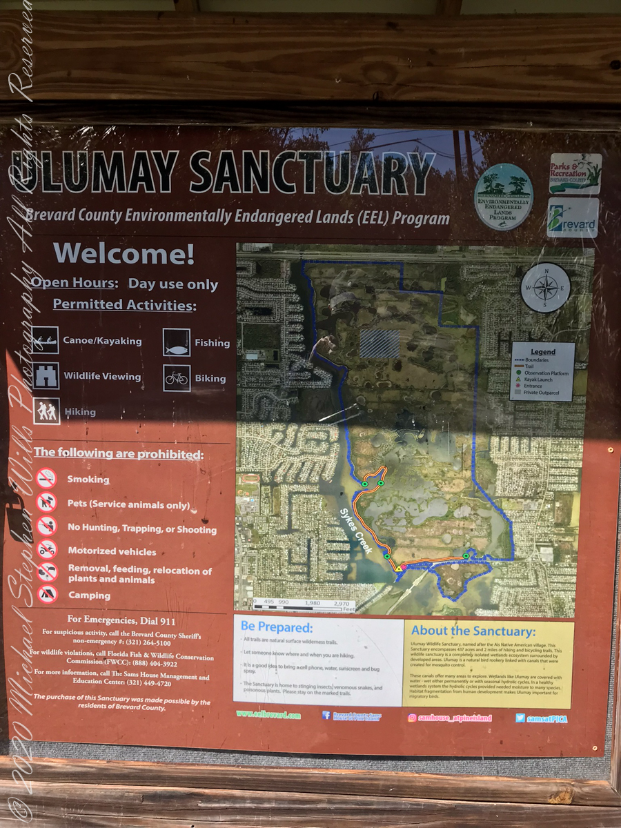
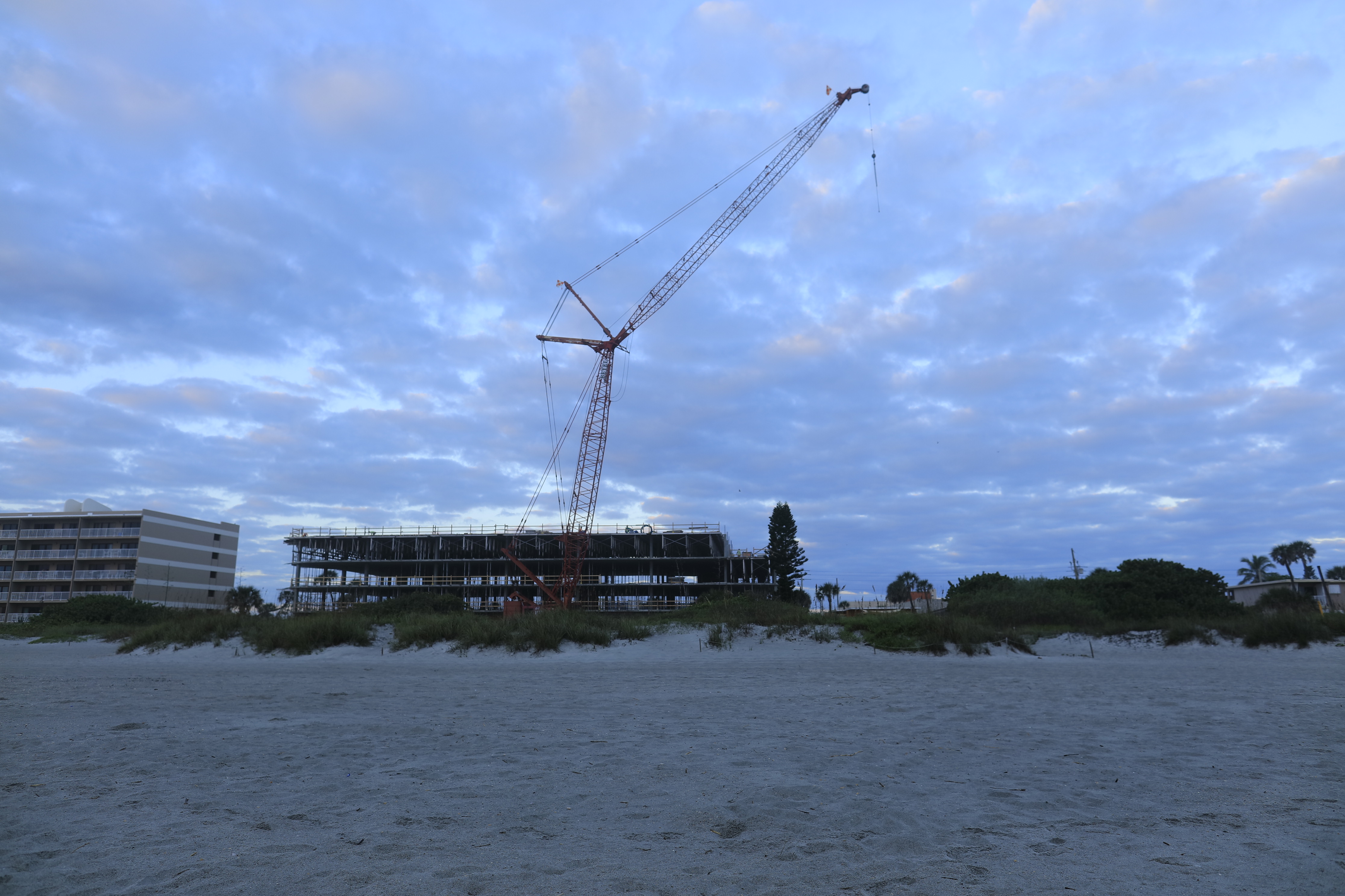
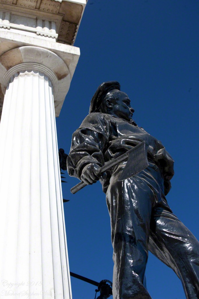
This informative placard, placed at the entrance. Note the 600 park acres is surrounded by residential properties.
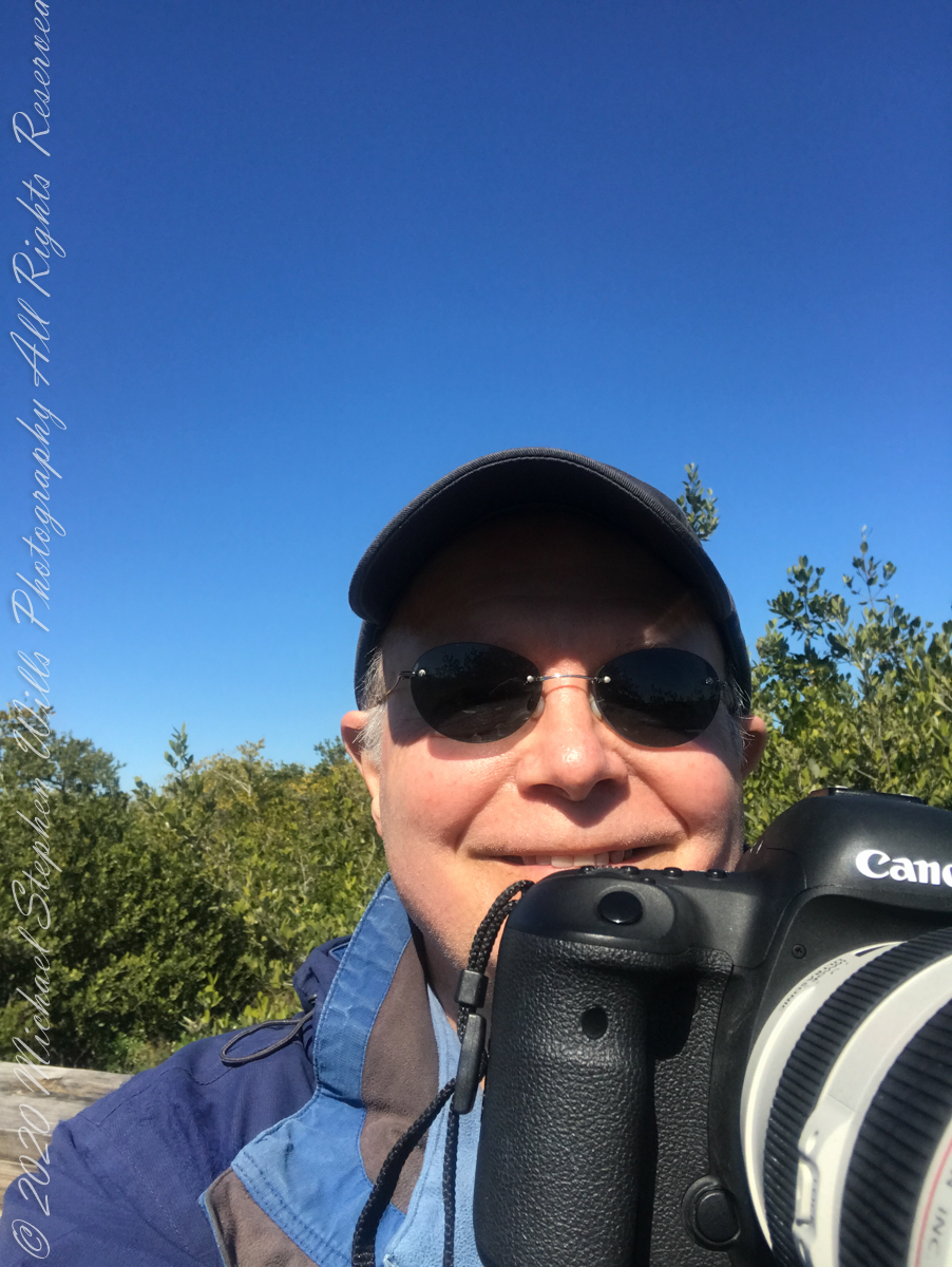
I left Pam at the entrance, seen below at the words “Ulumay Wildlife”; she had a reasonable concern about alligators. It is quite possible to find a large specimen blocking the one and only trail. “What? Me Worry?” When pursued by an alligator, remember to zig-zag.
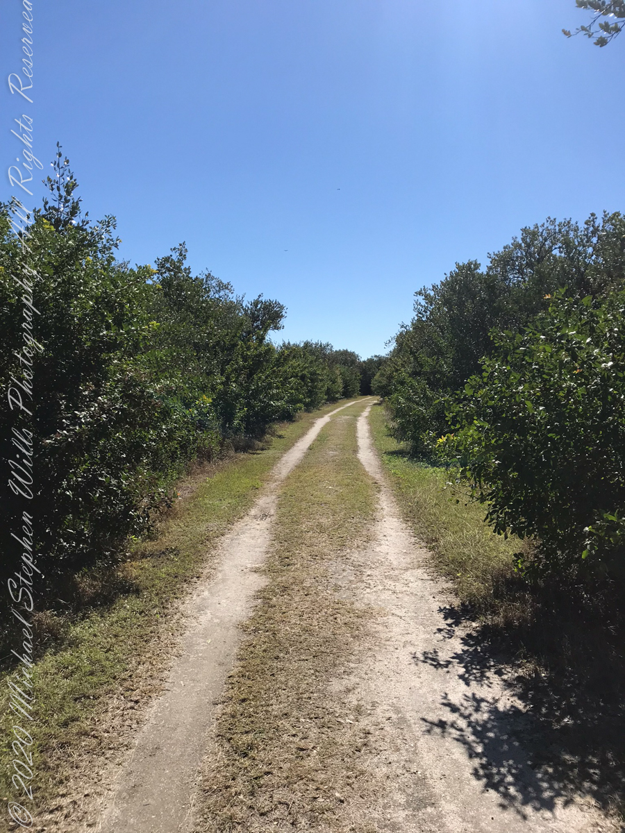
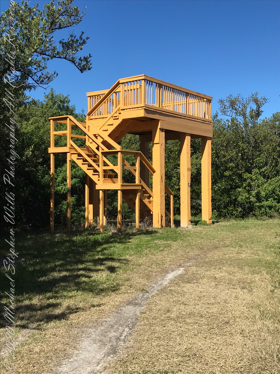
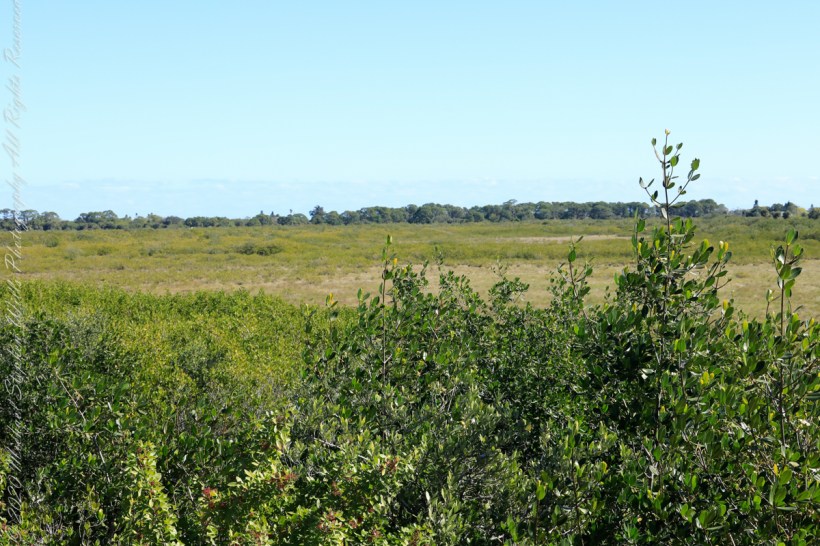
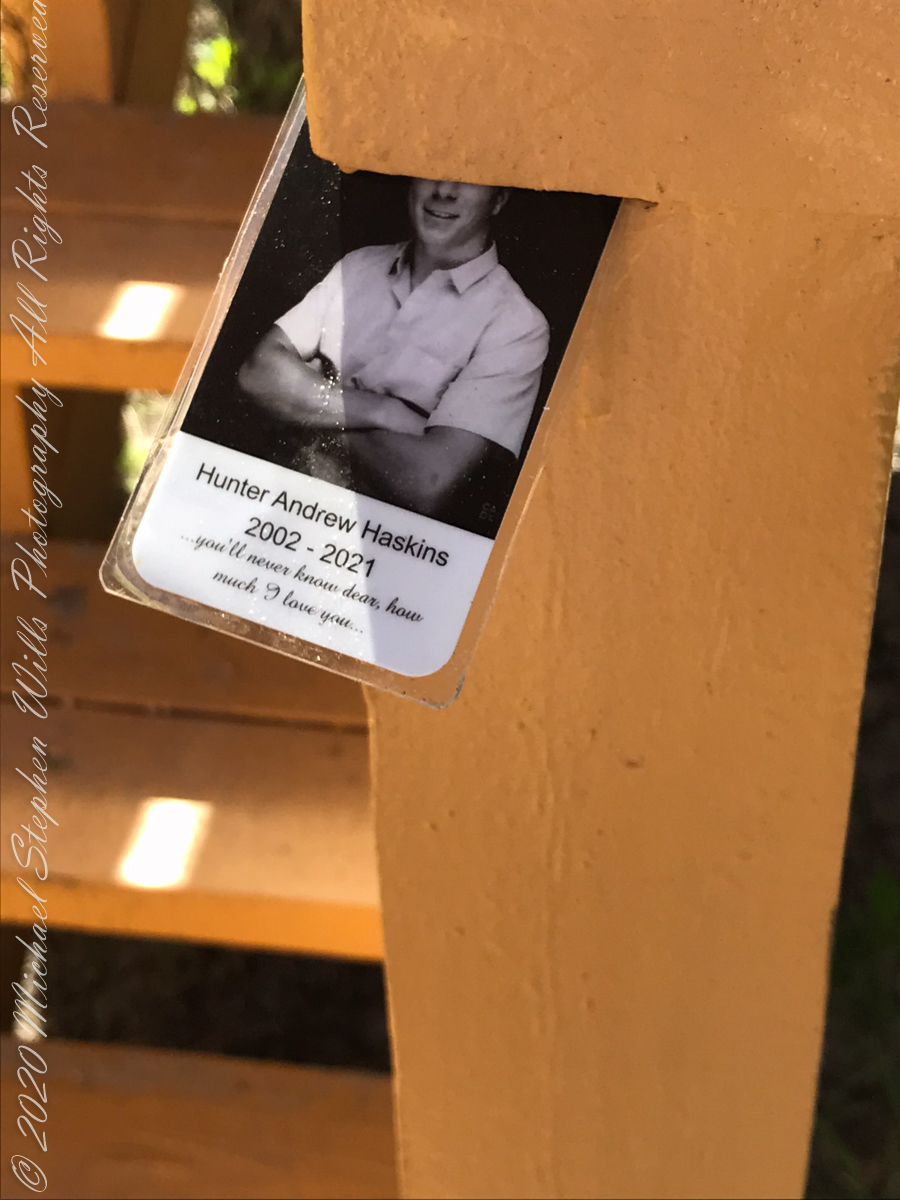
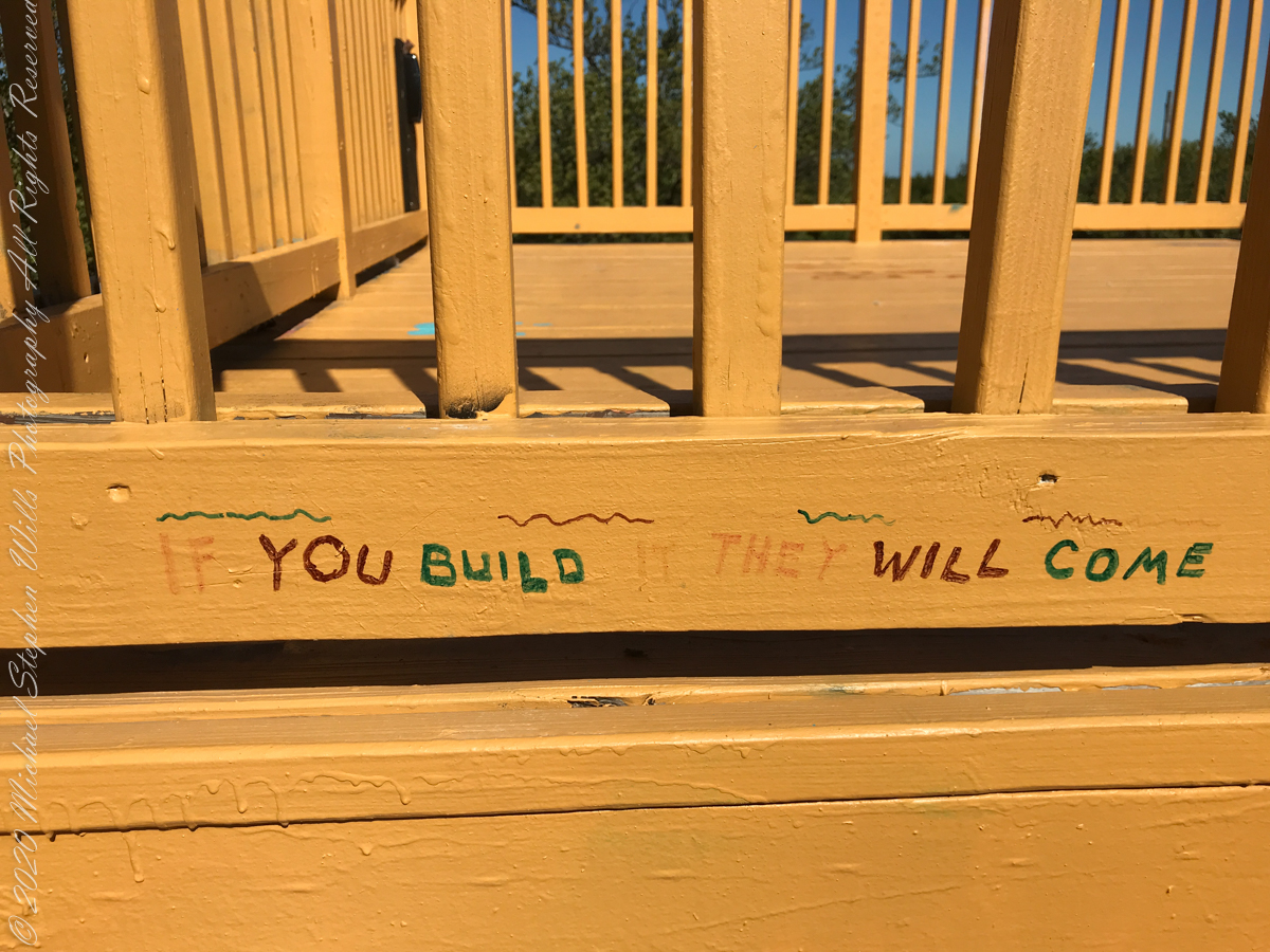
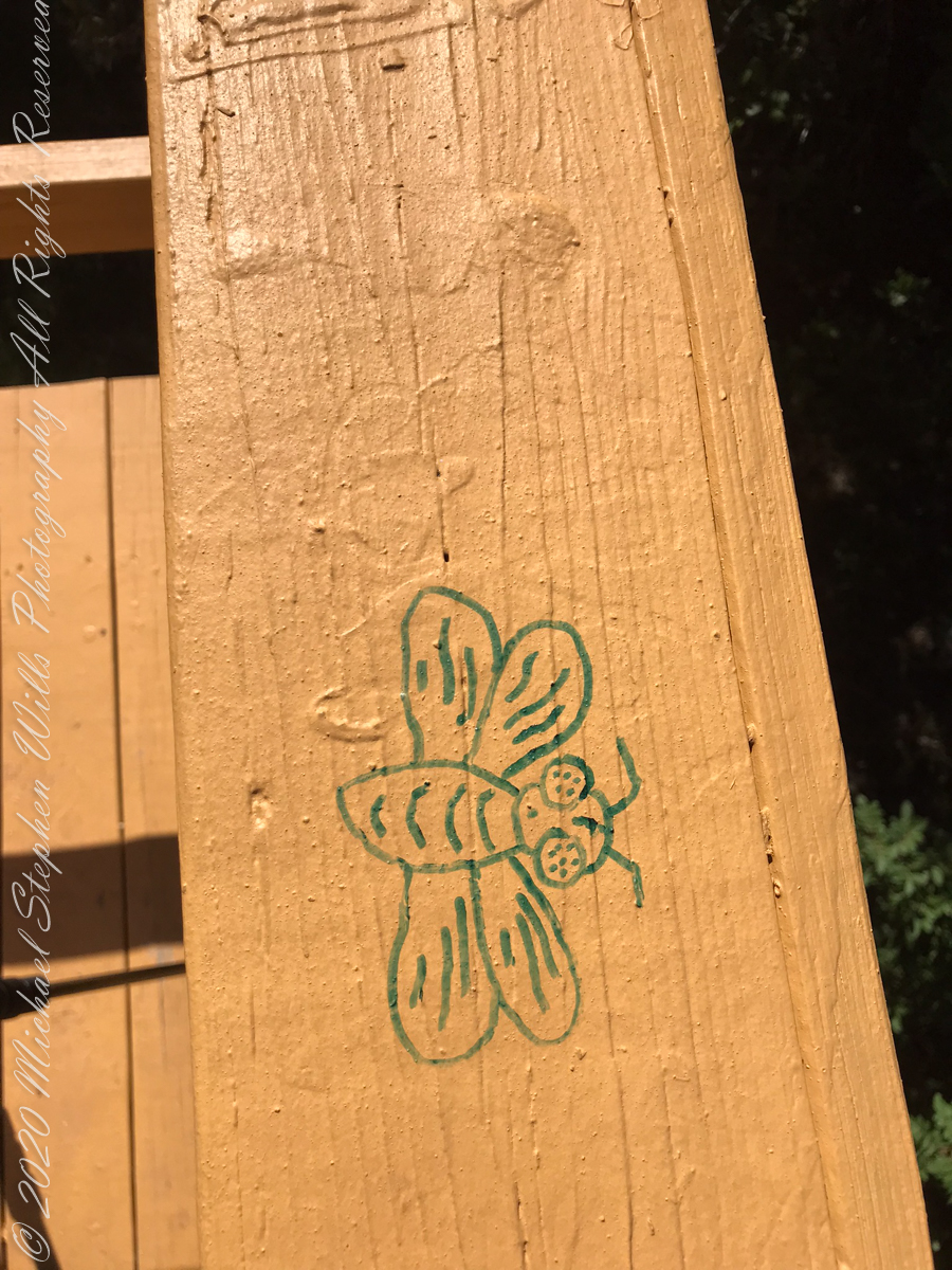
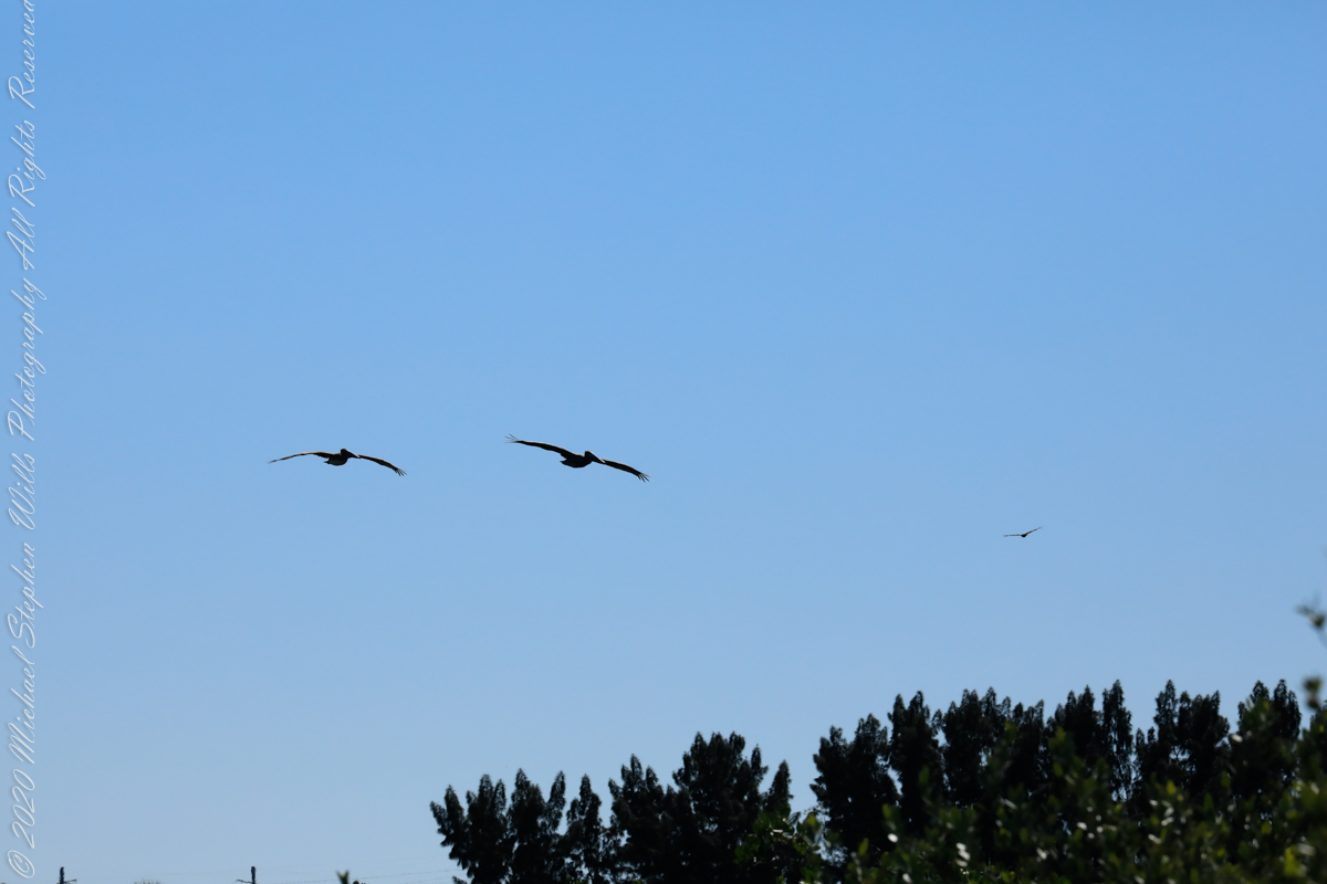
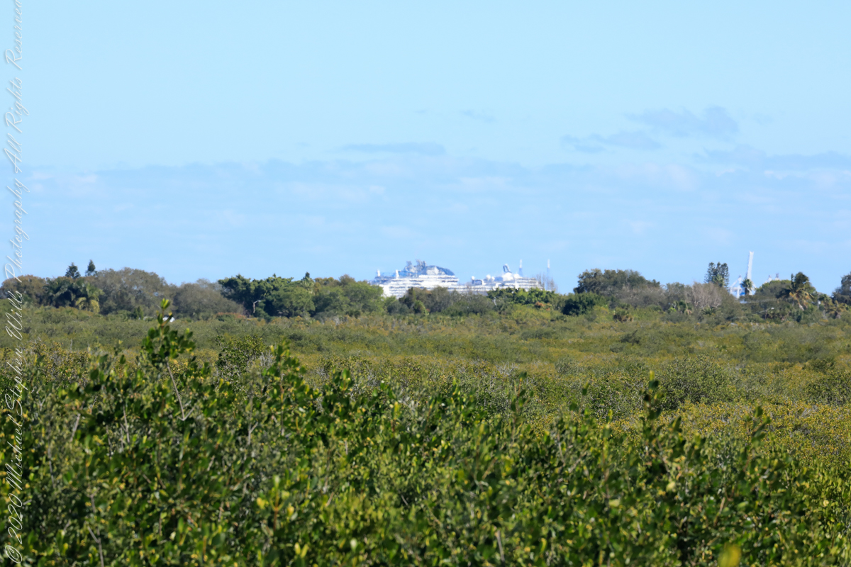
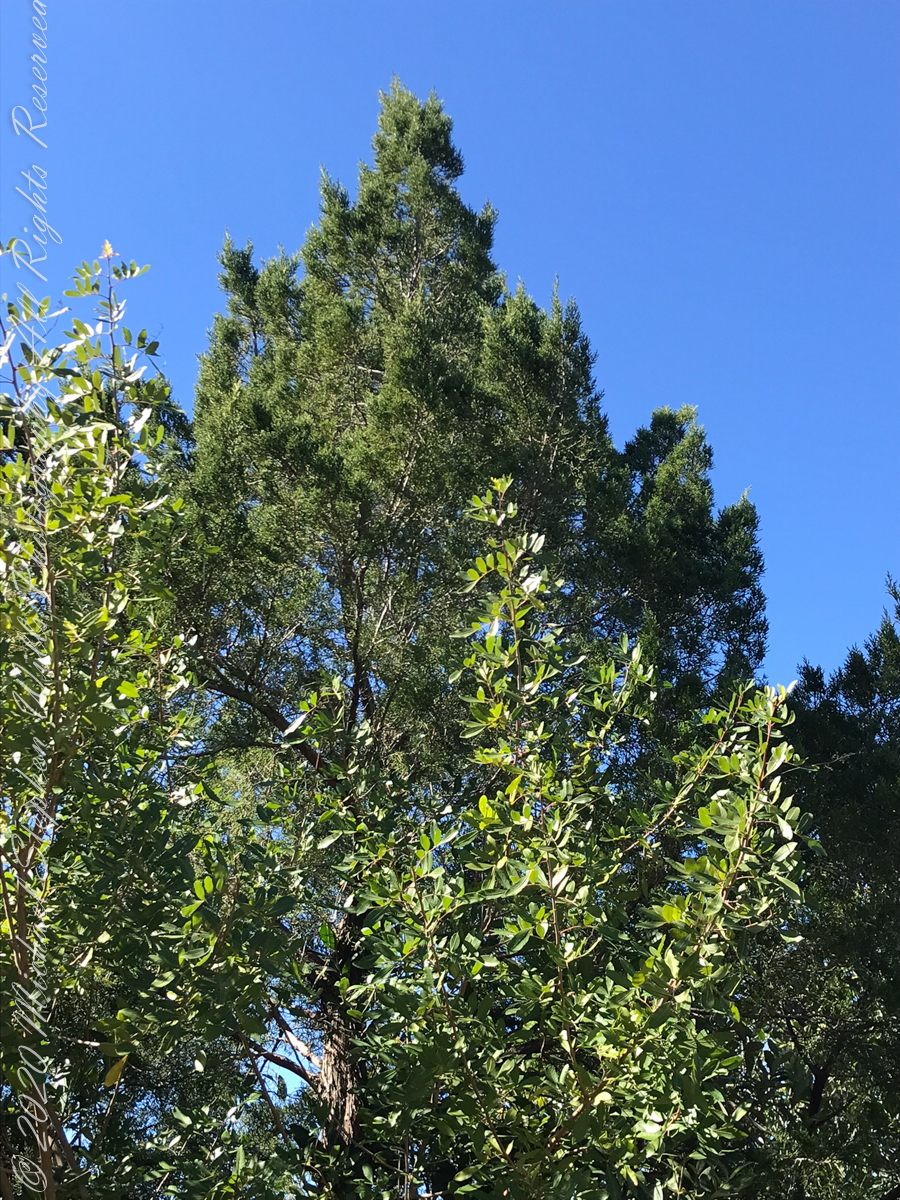
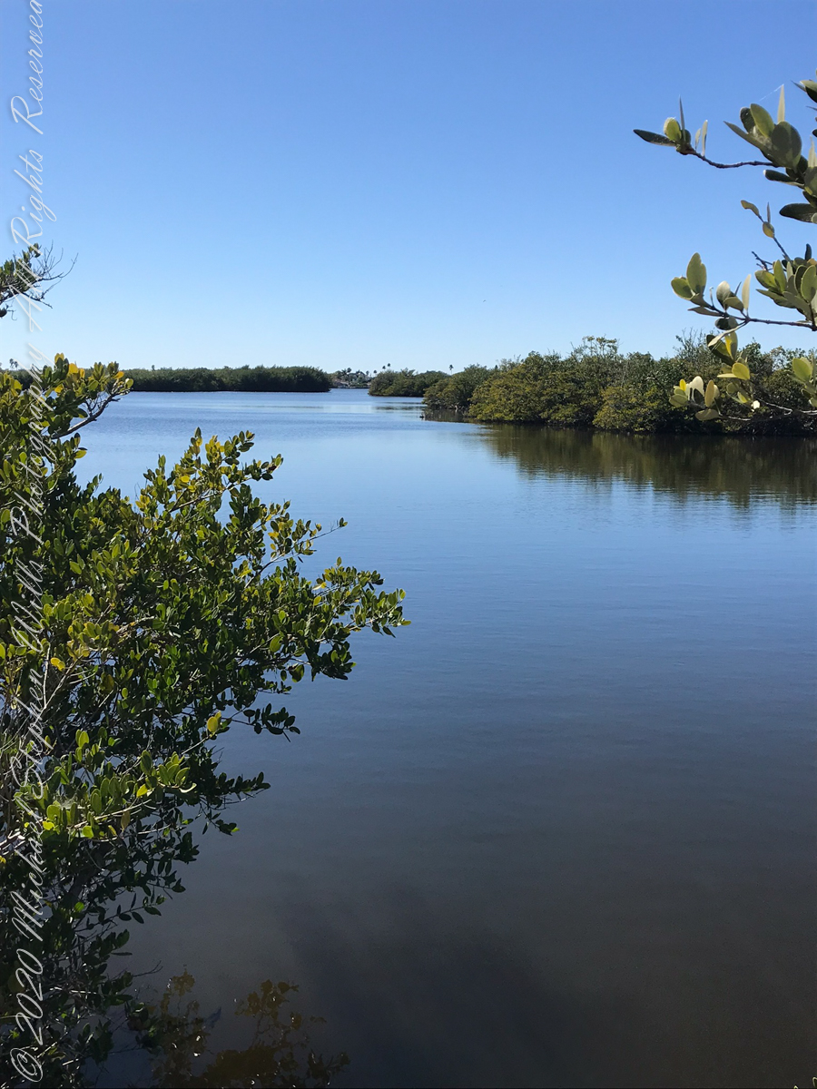
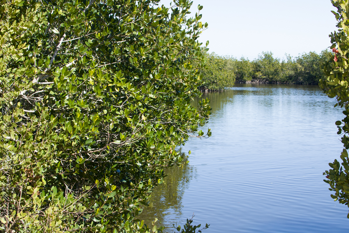
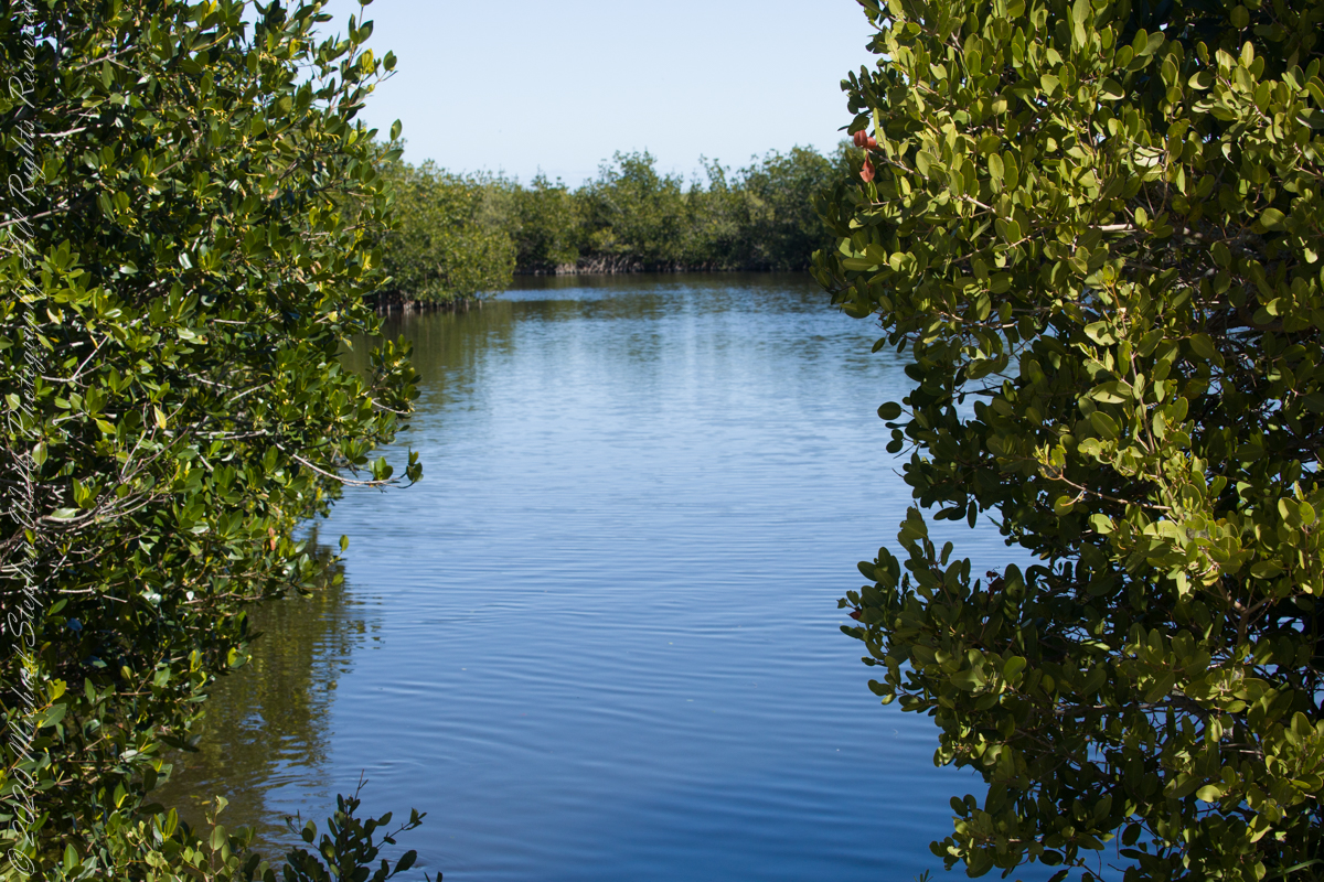
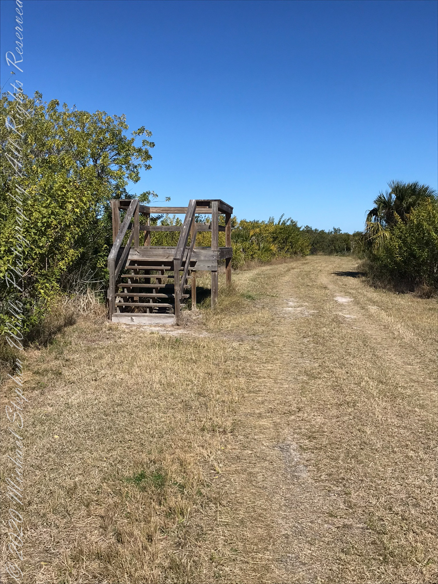
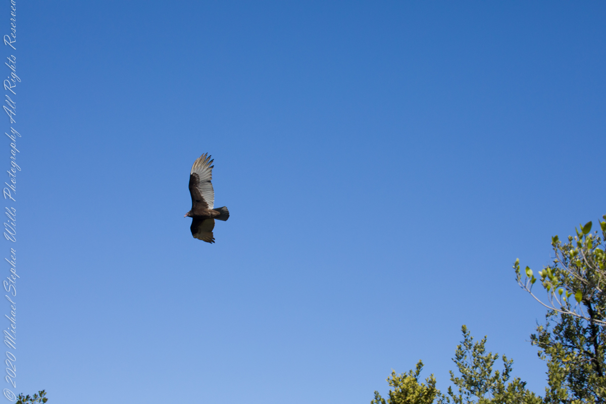
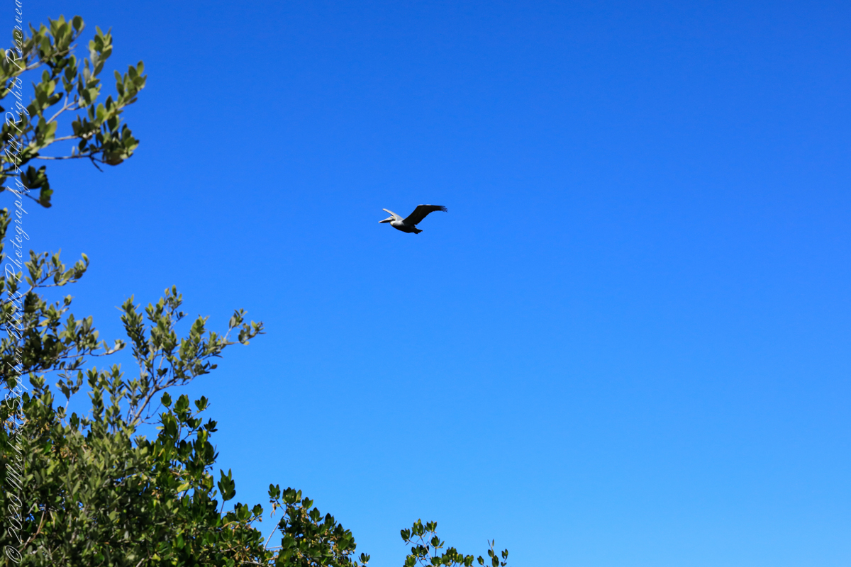
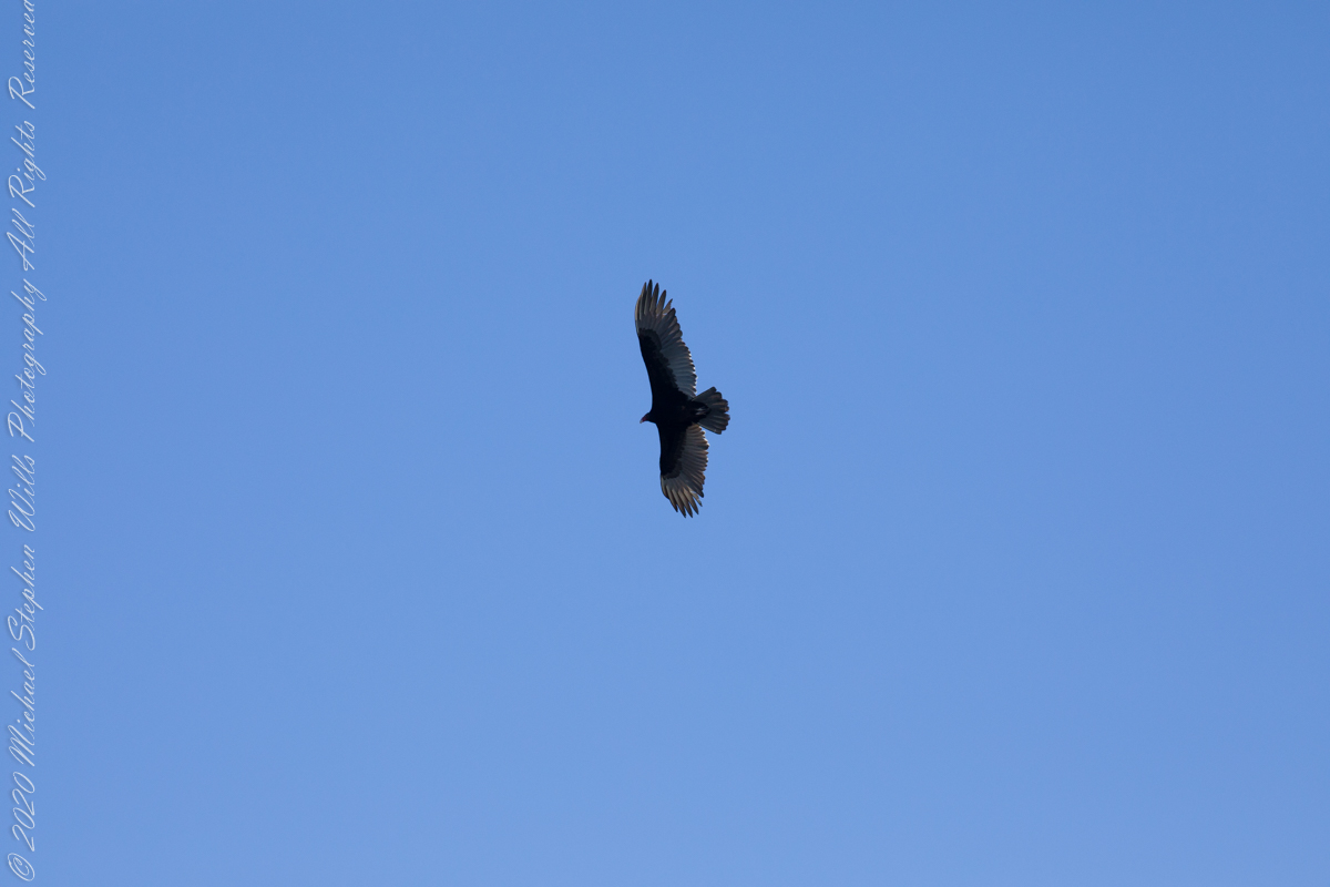
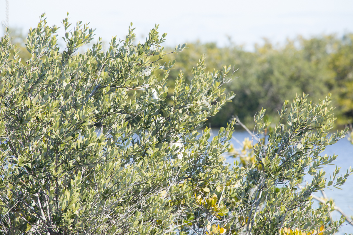
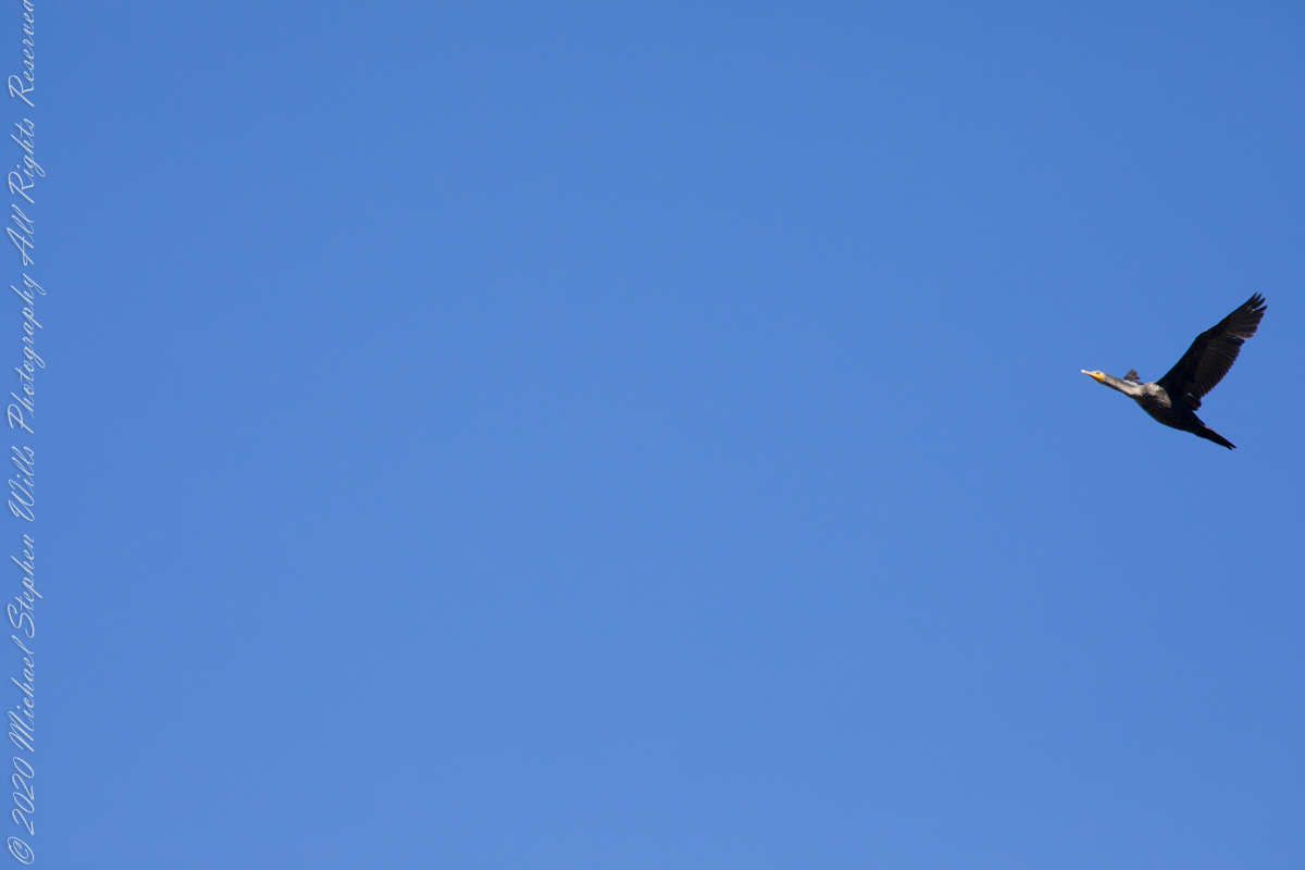
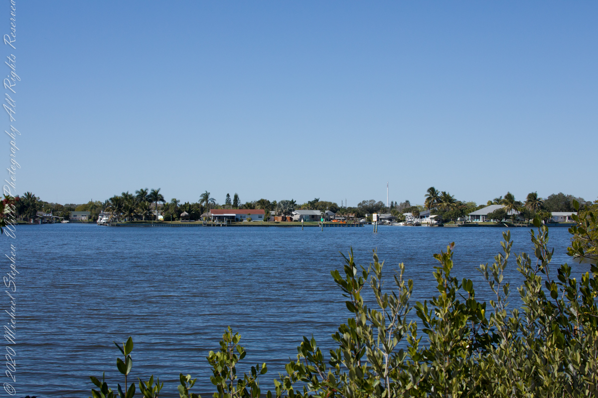
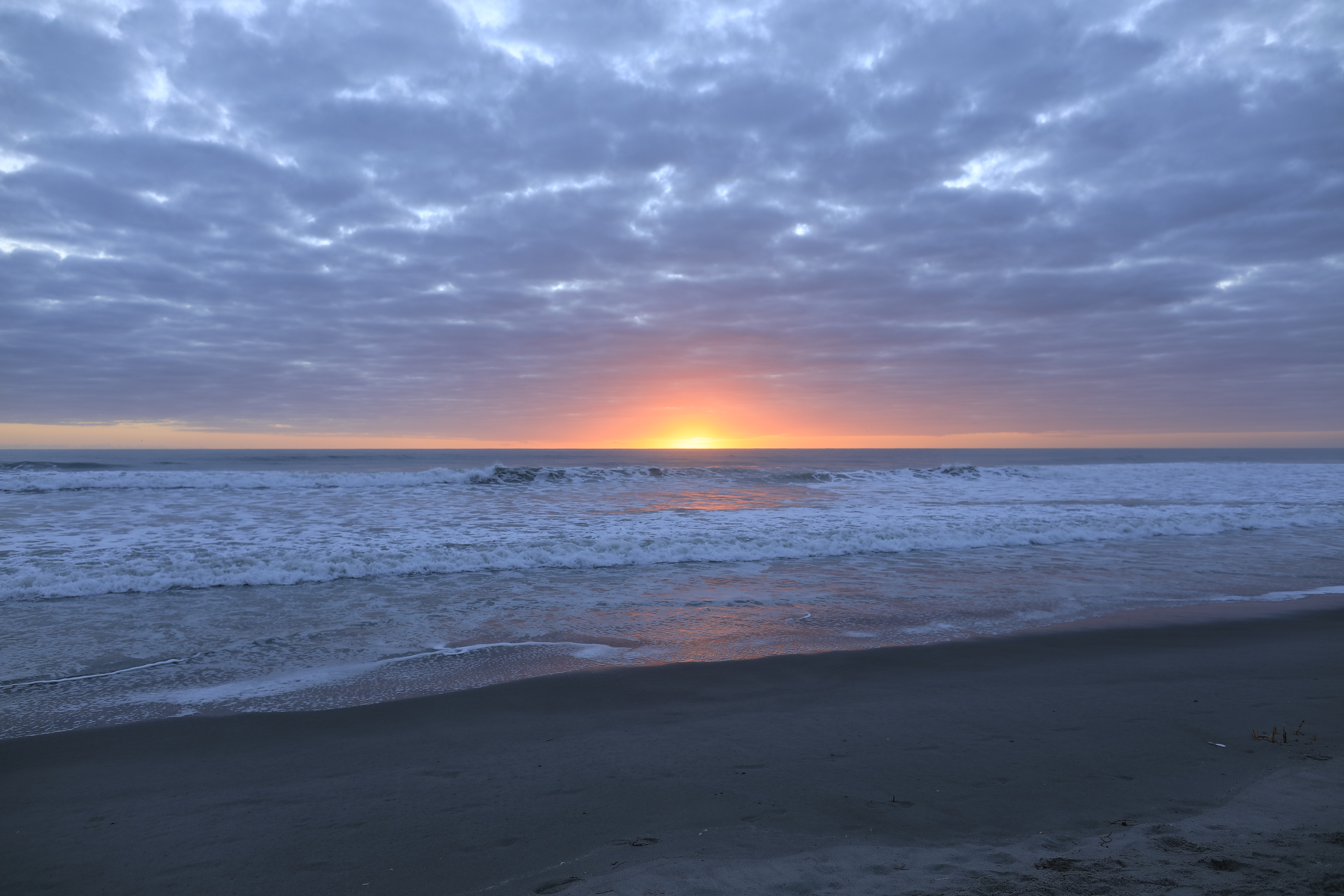
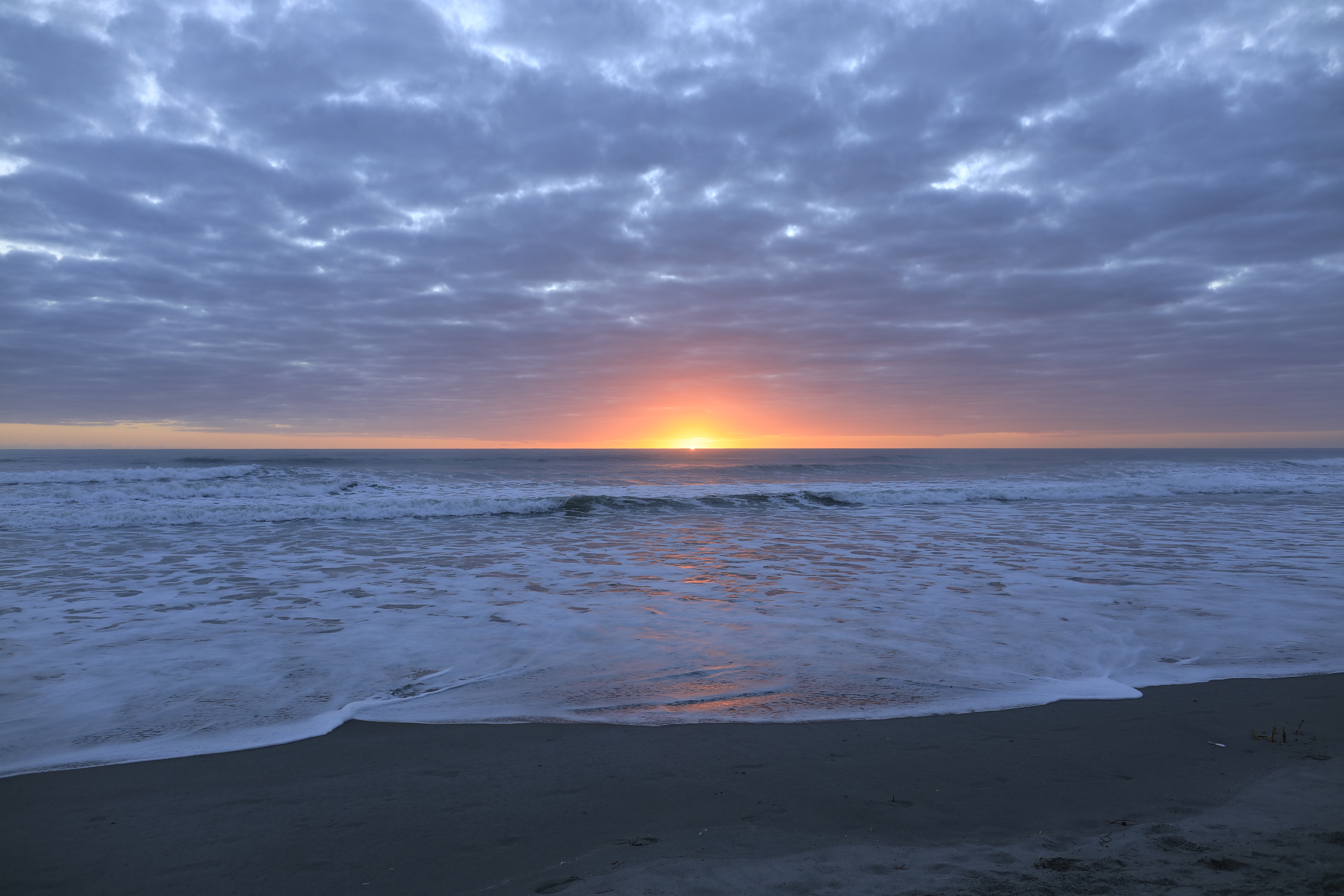
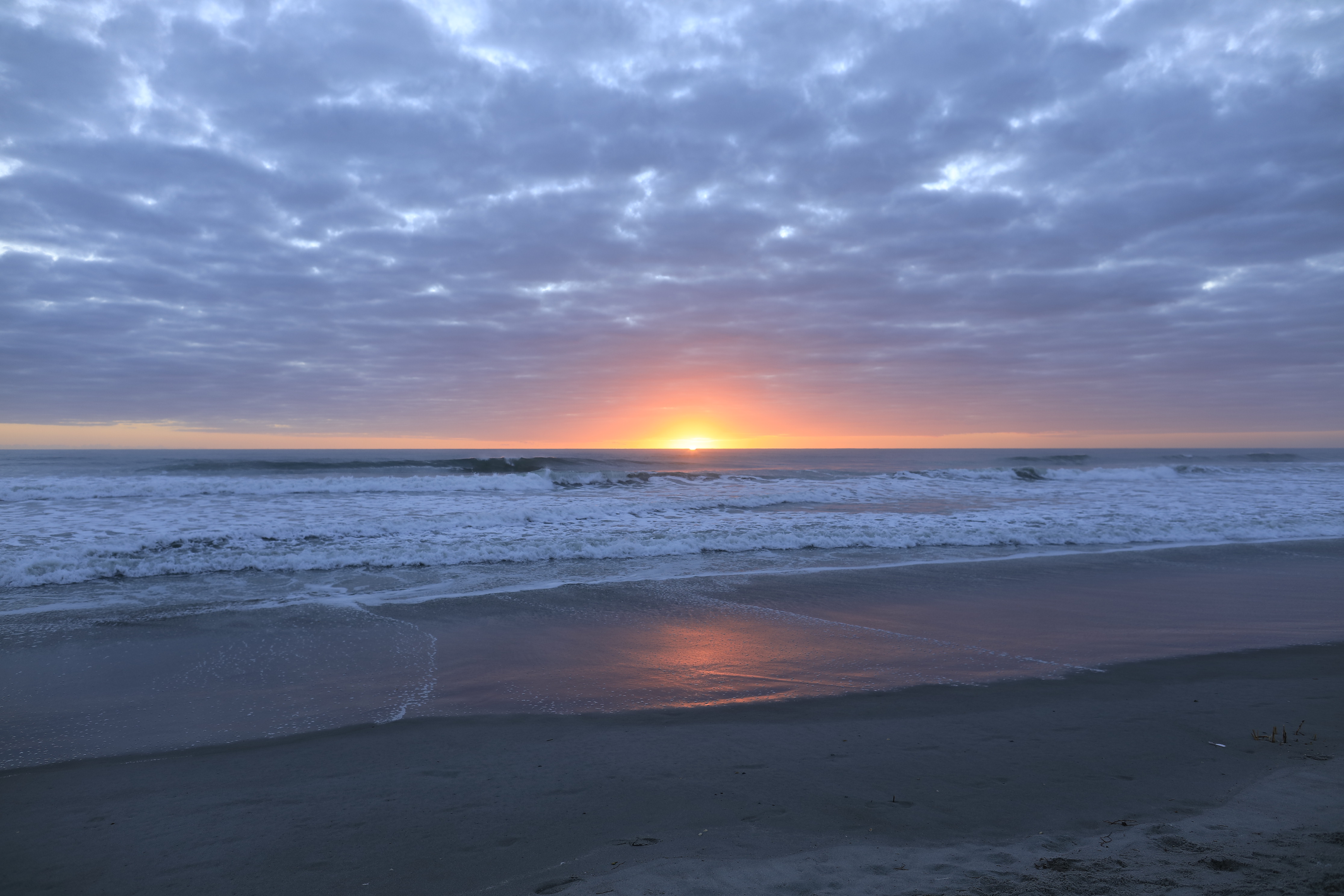
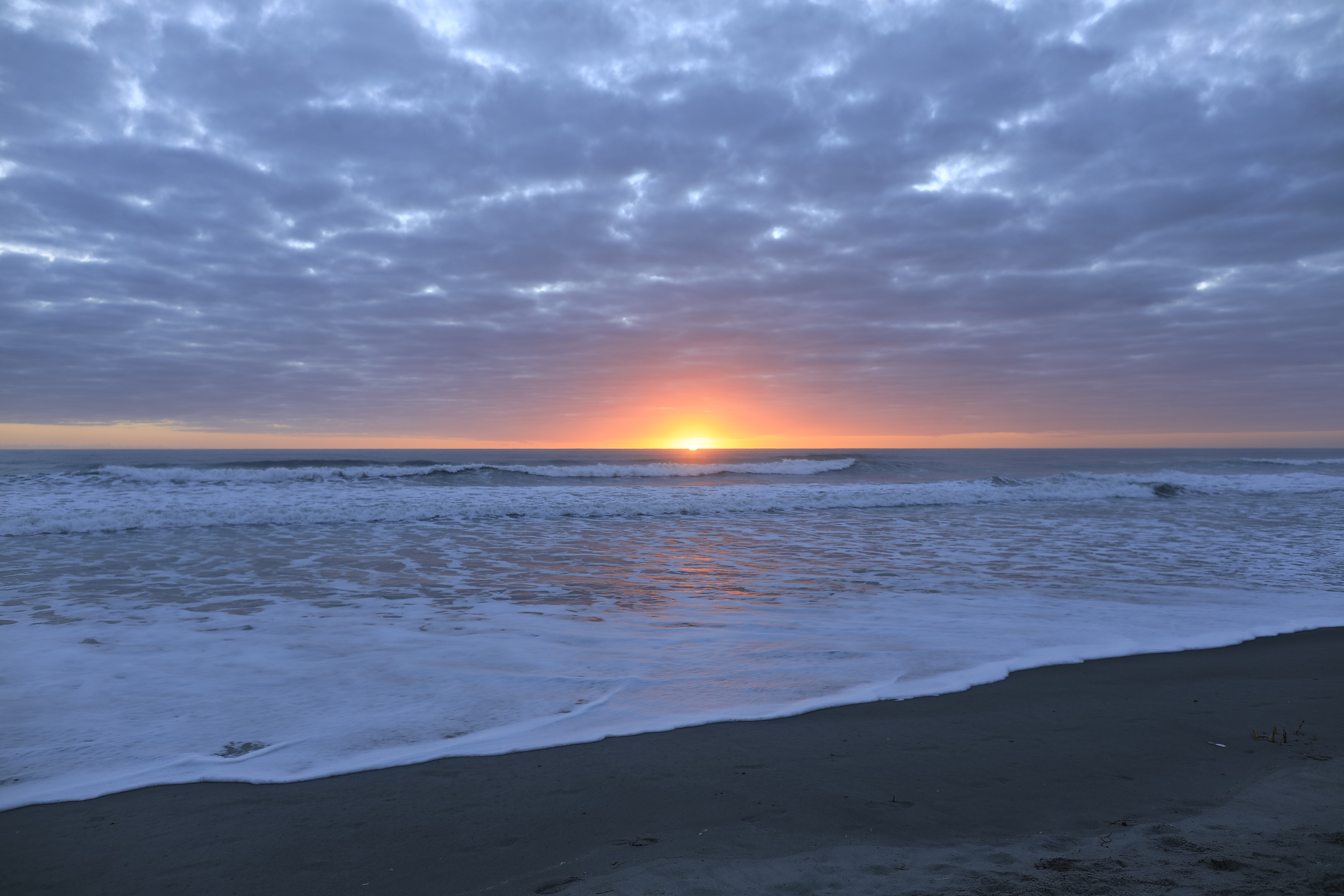
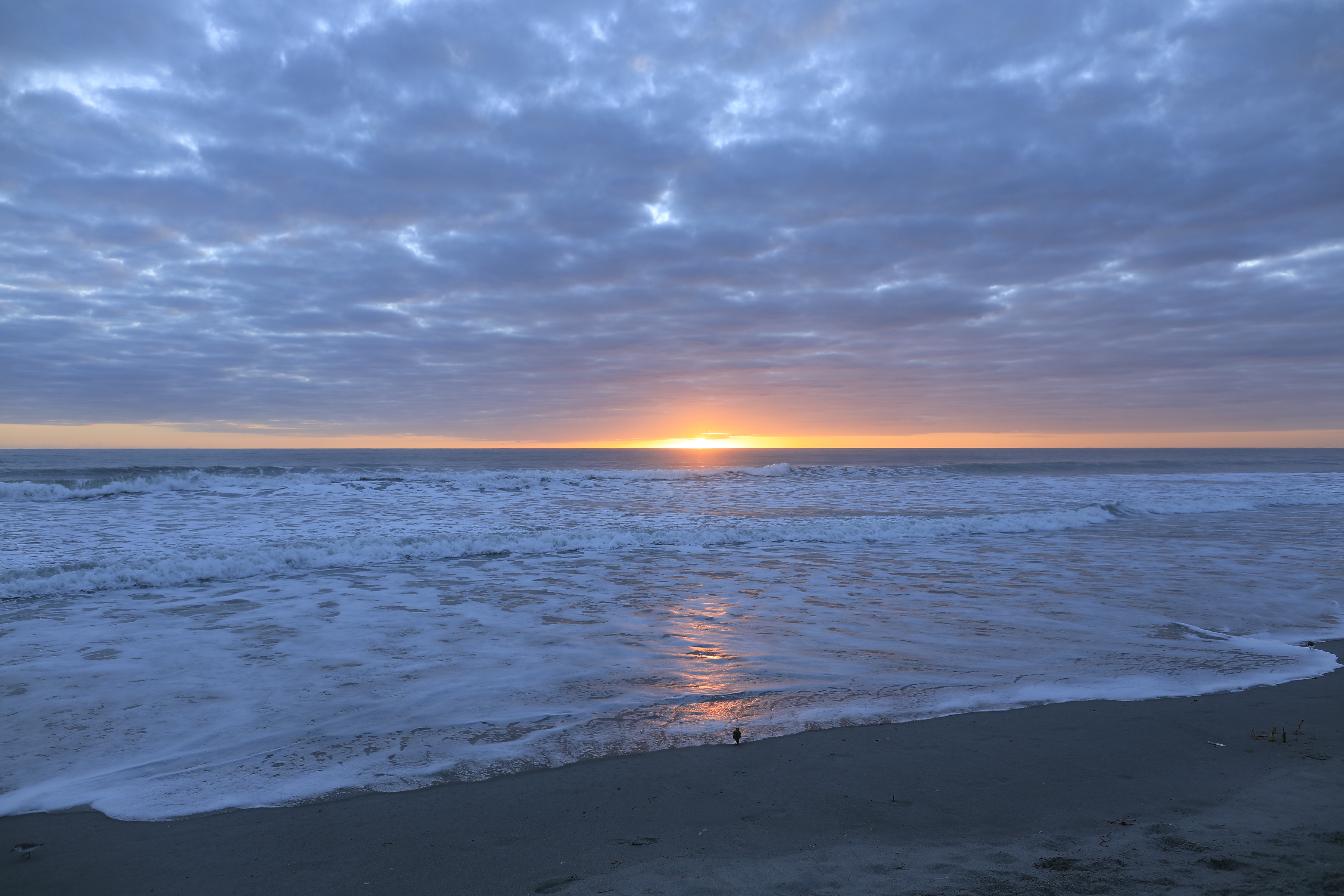
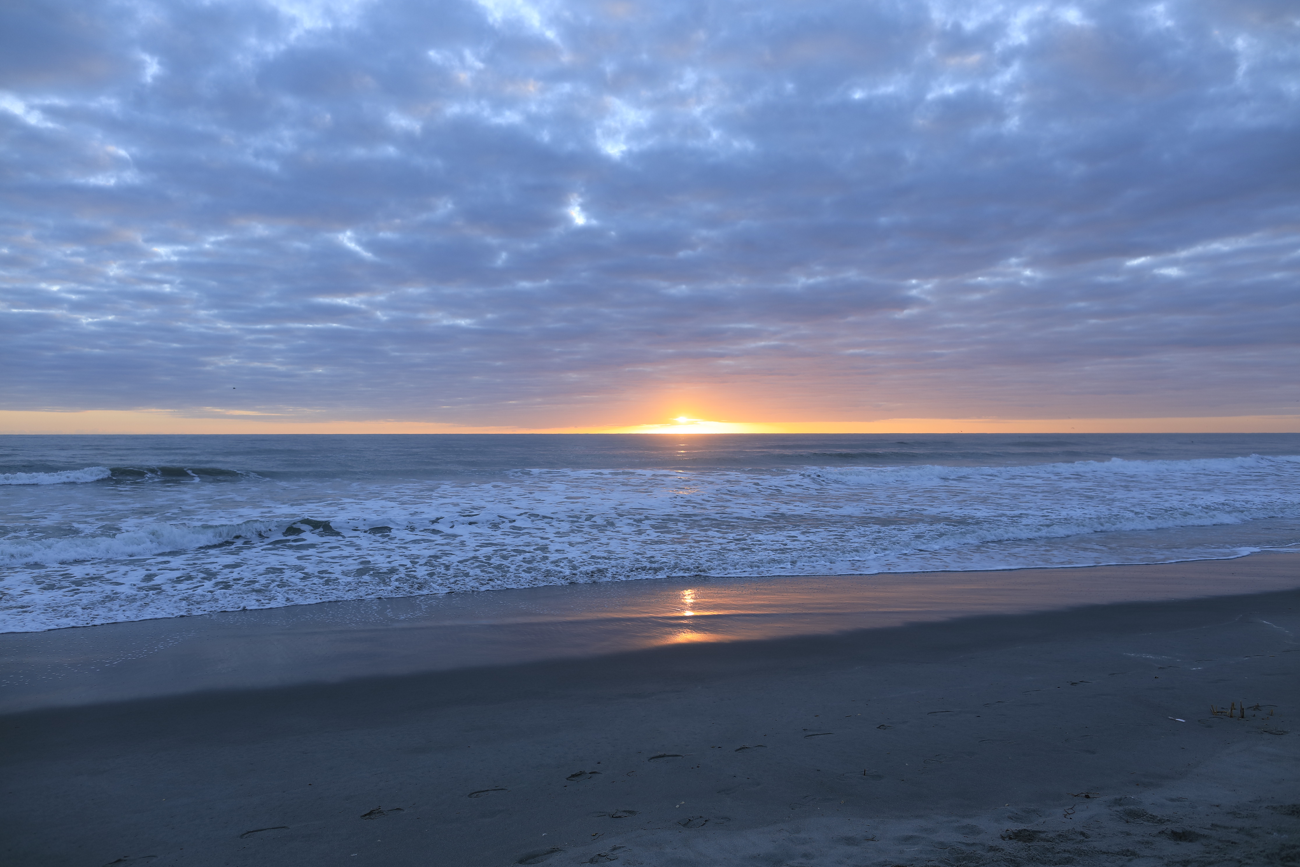
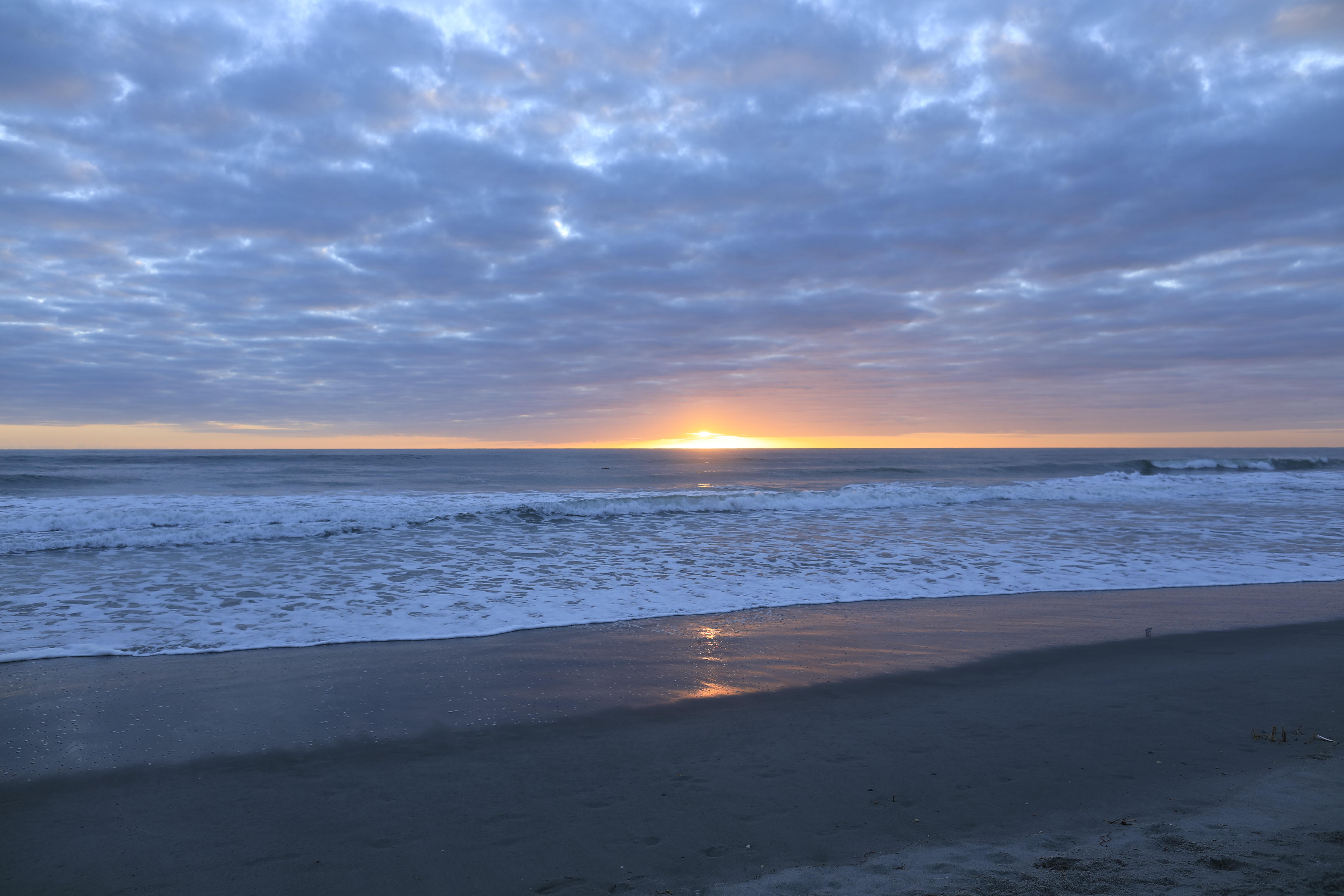
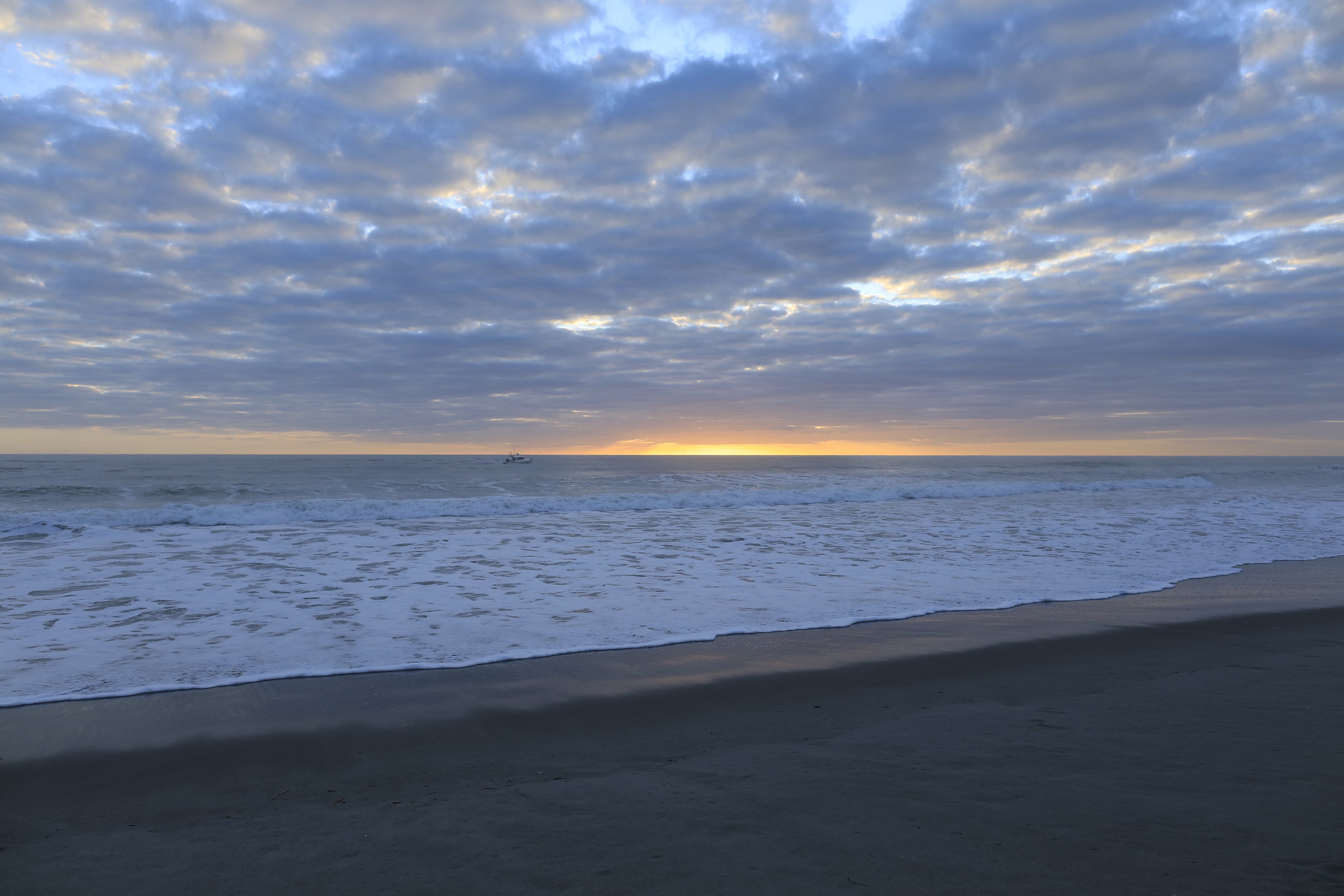
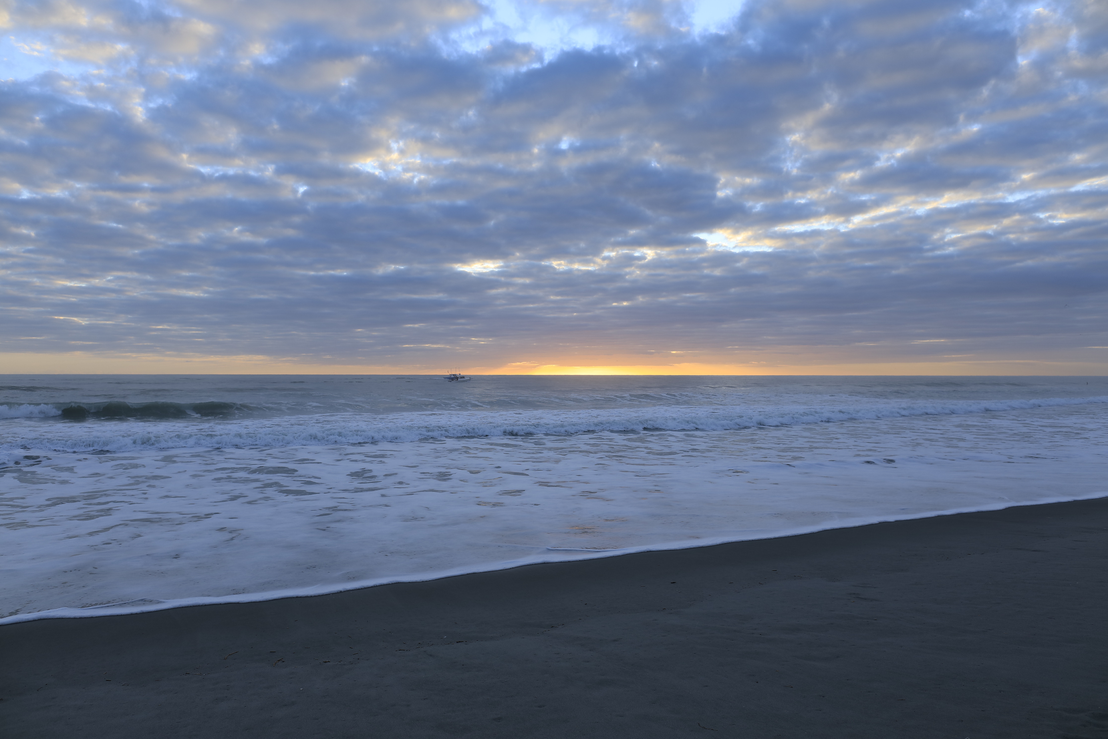
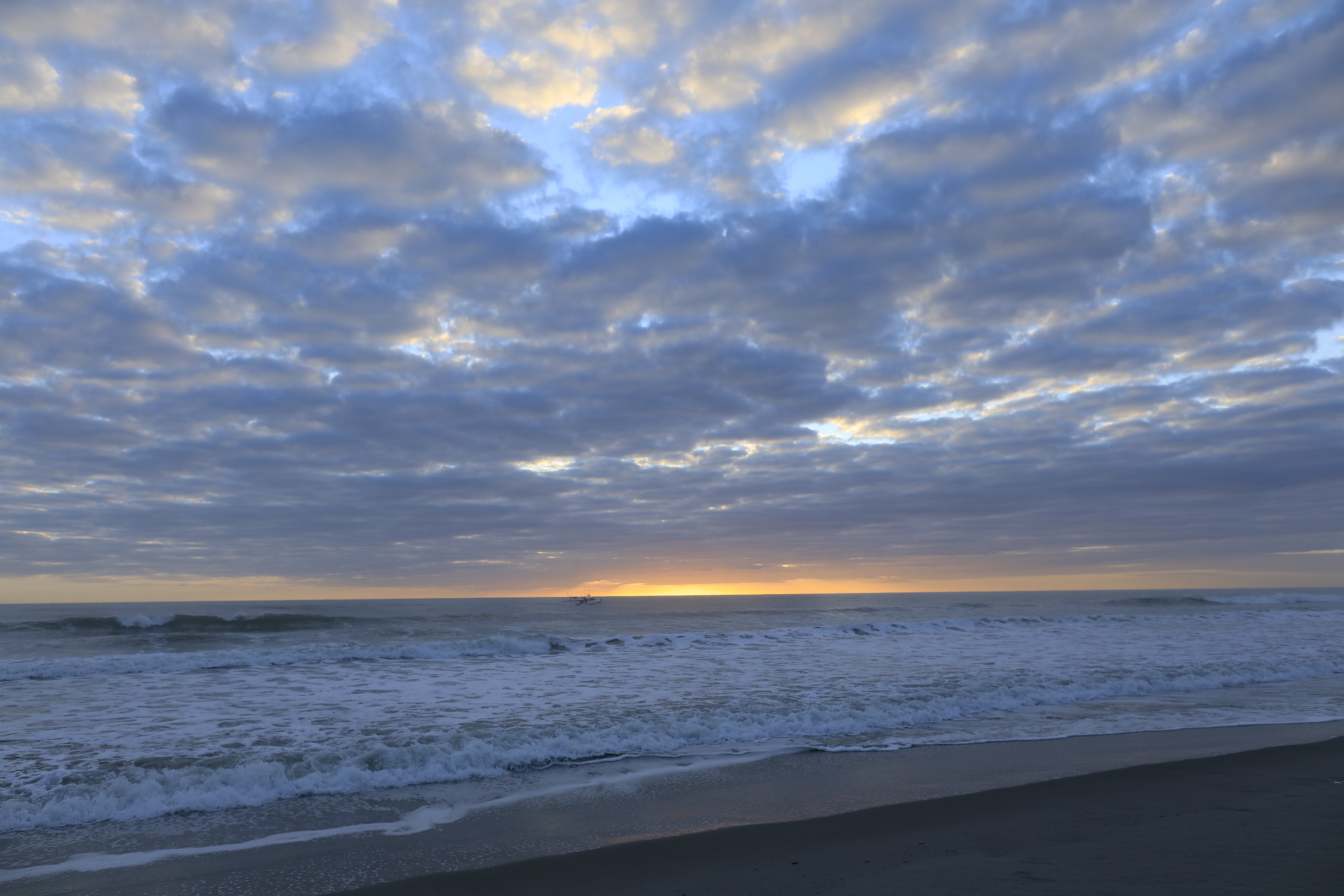
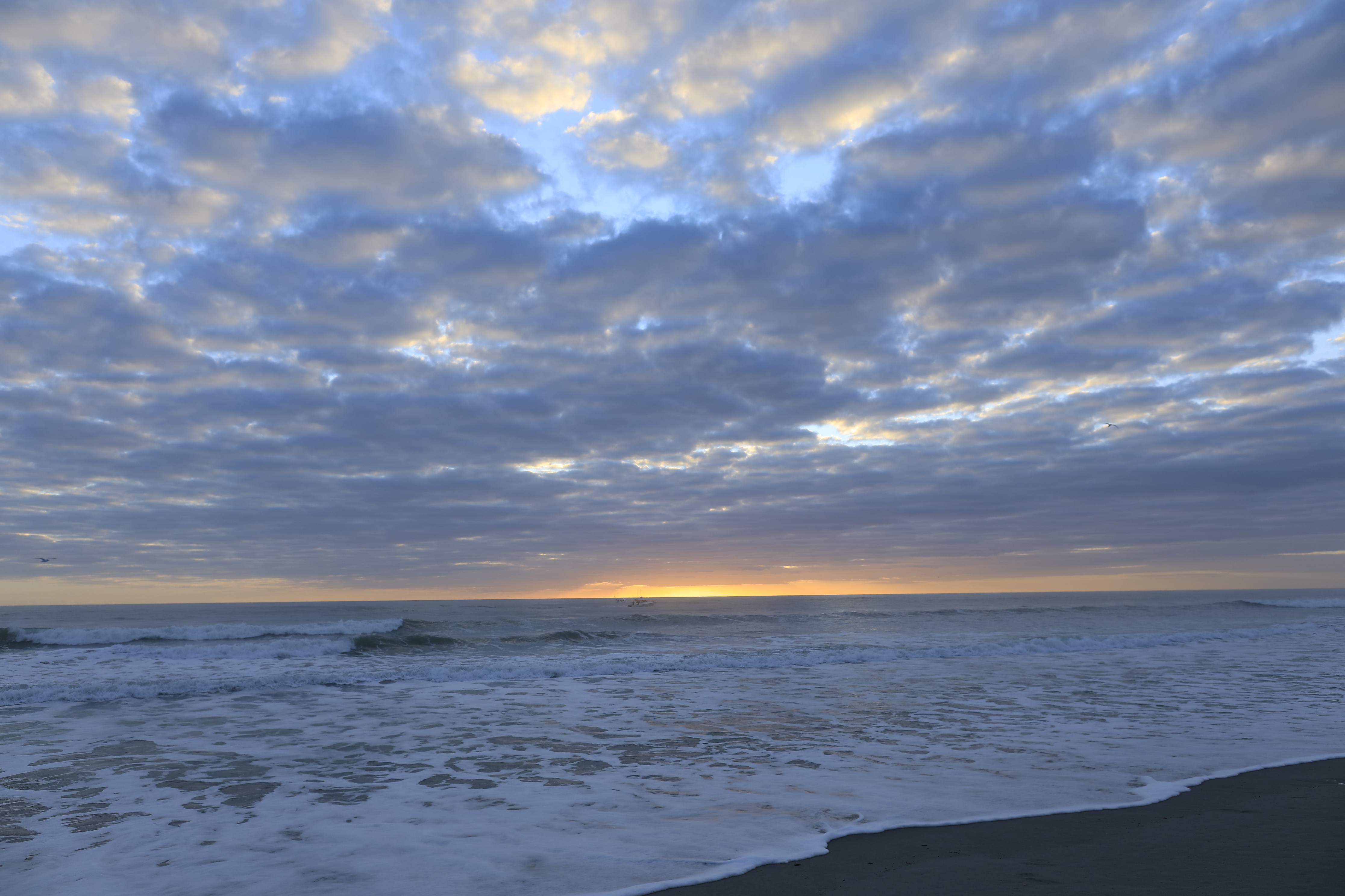
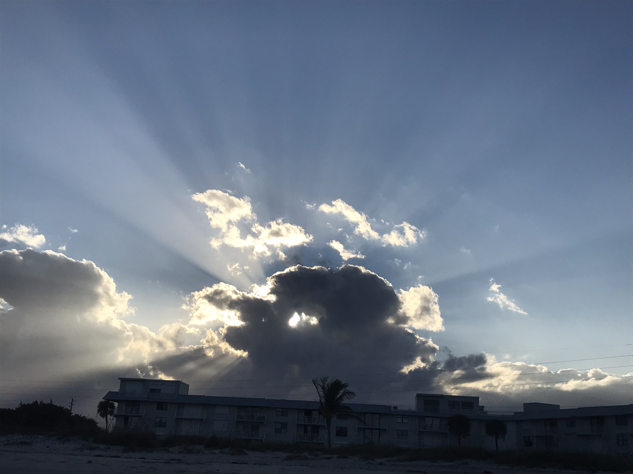
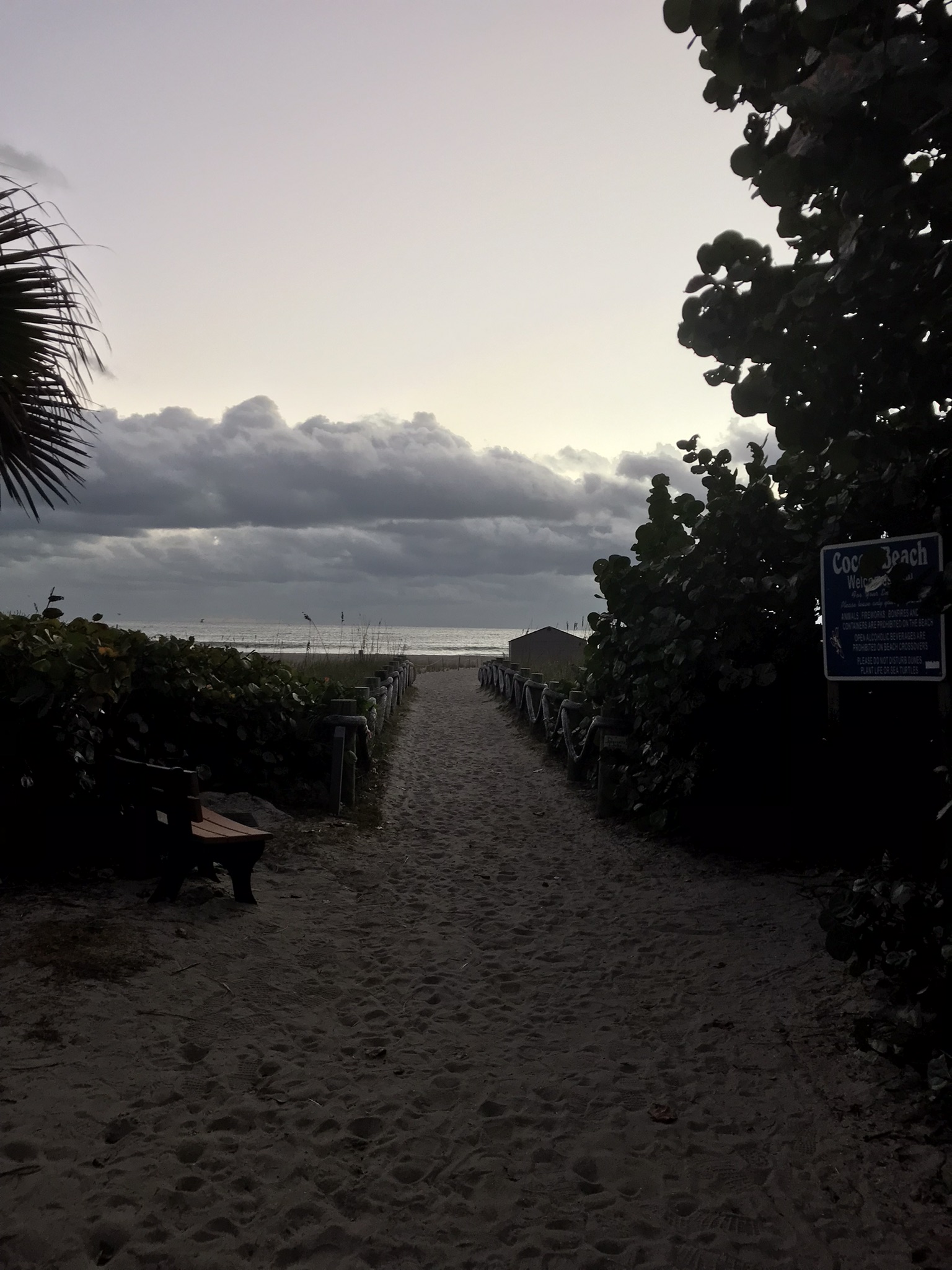
Path along the dike, thick vegetation on both sides generally limits the view.First StandView from standMemorial“If you build it….”Insect Repellant Advisement“I see you”PelicansCanaveral Cruise Port across the Banana River (really a lagoon).
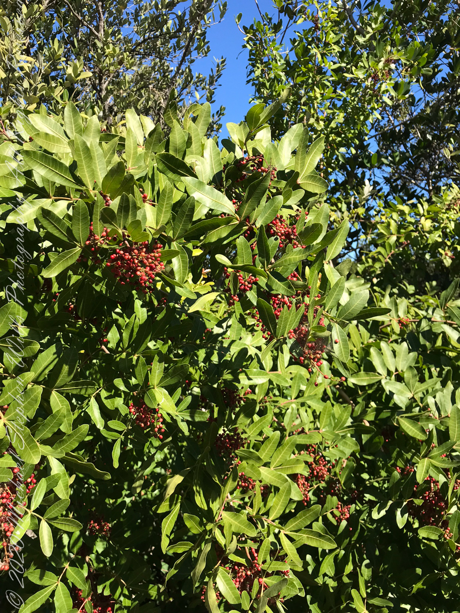
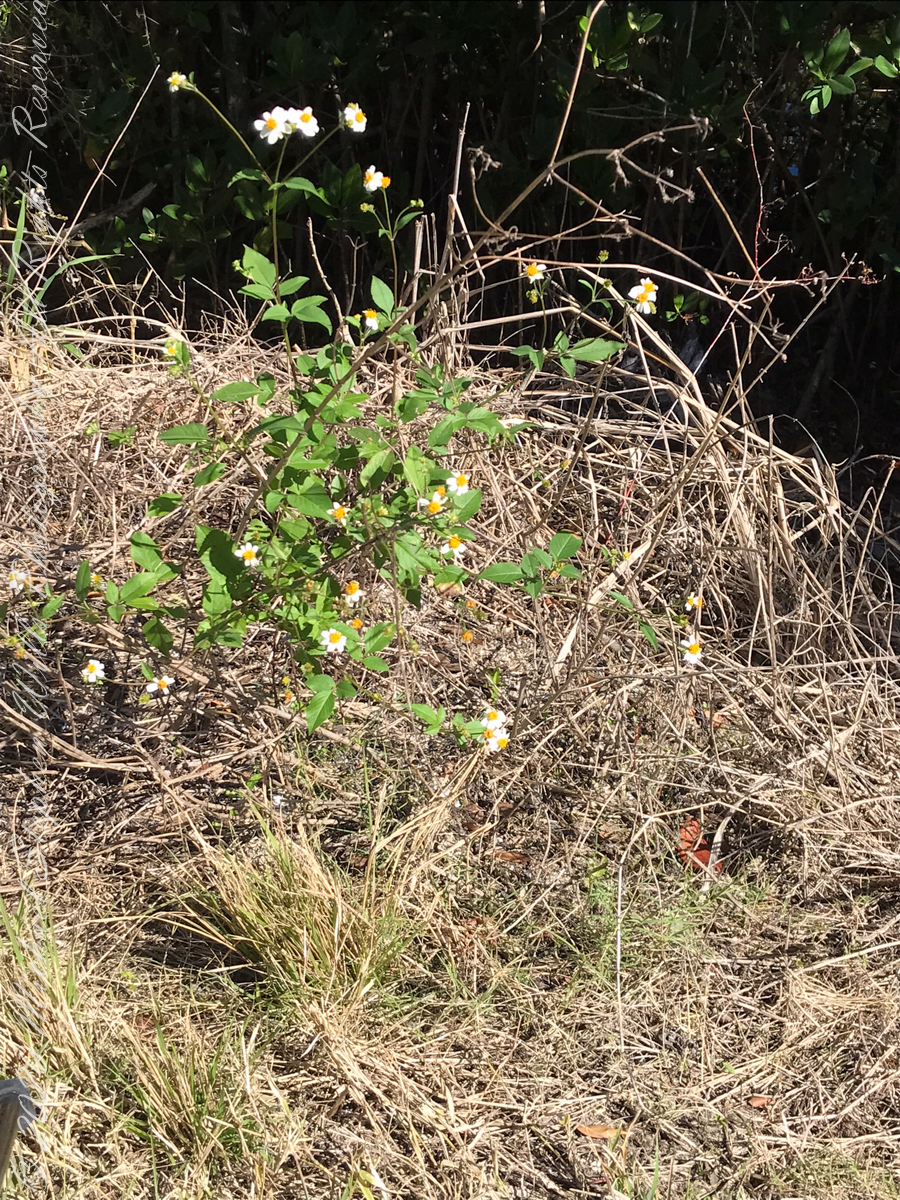
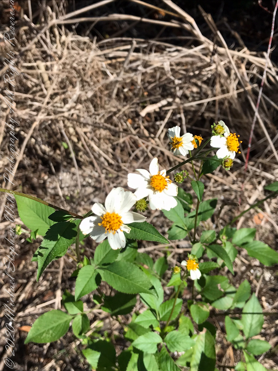
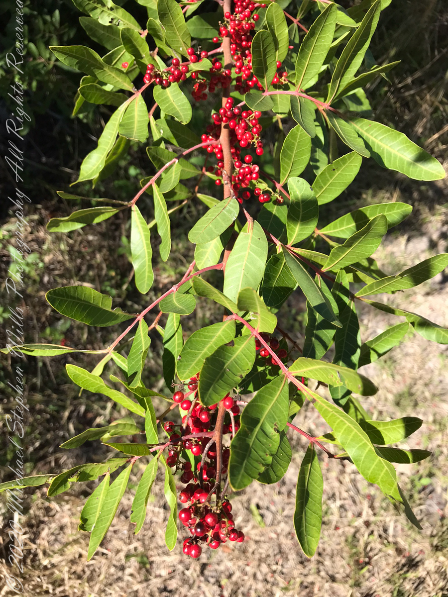
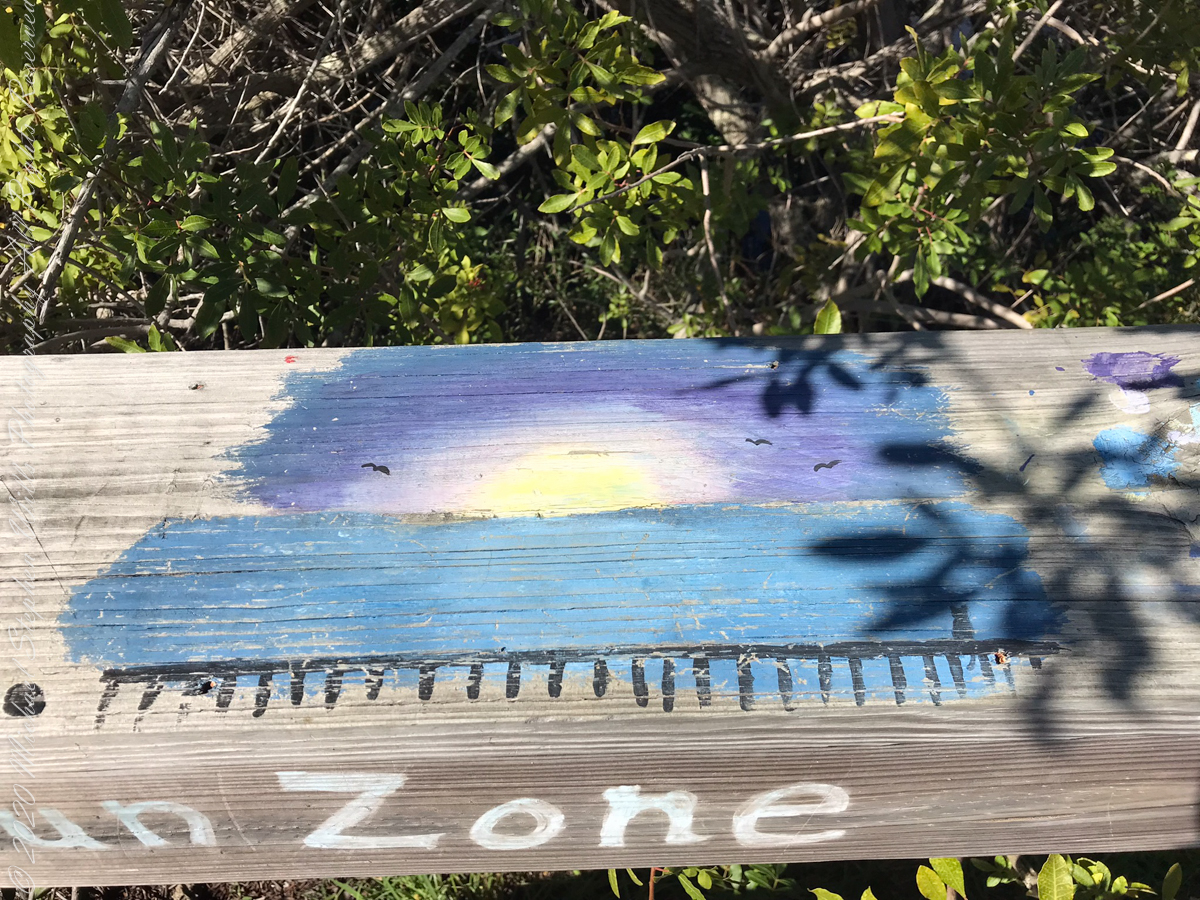
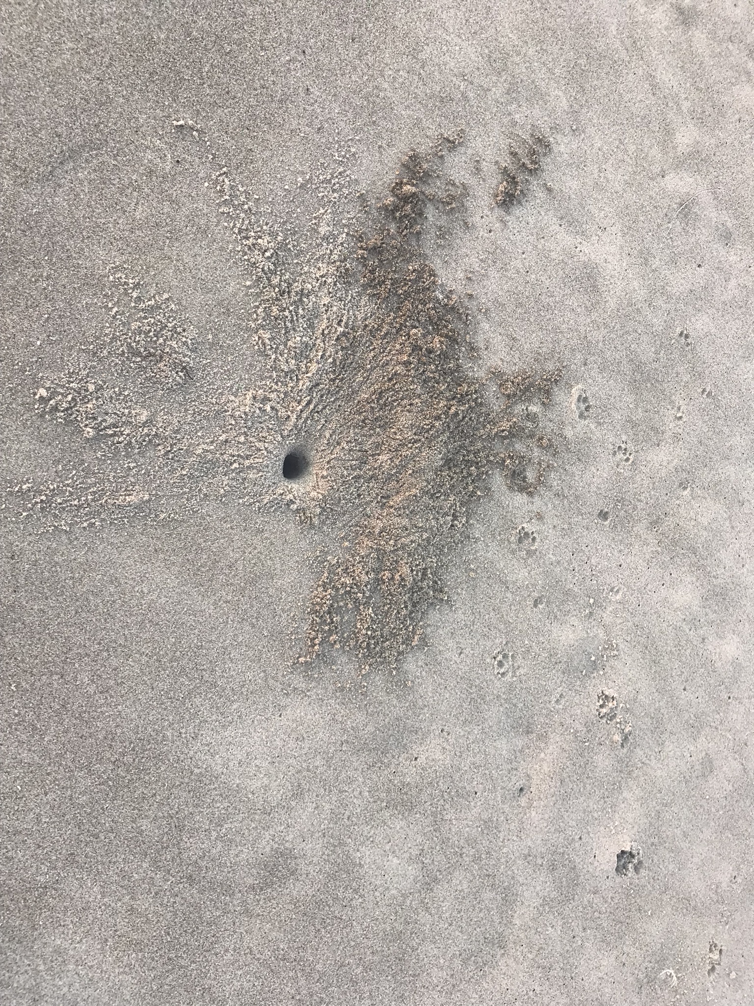
“Flora and Fauna”
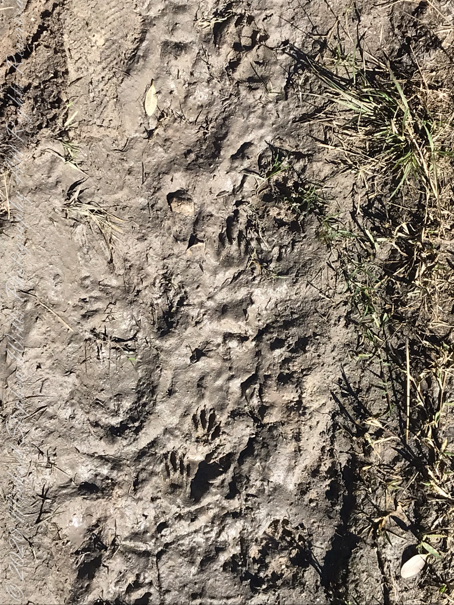
Raccoon Tracks
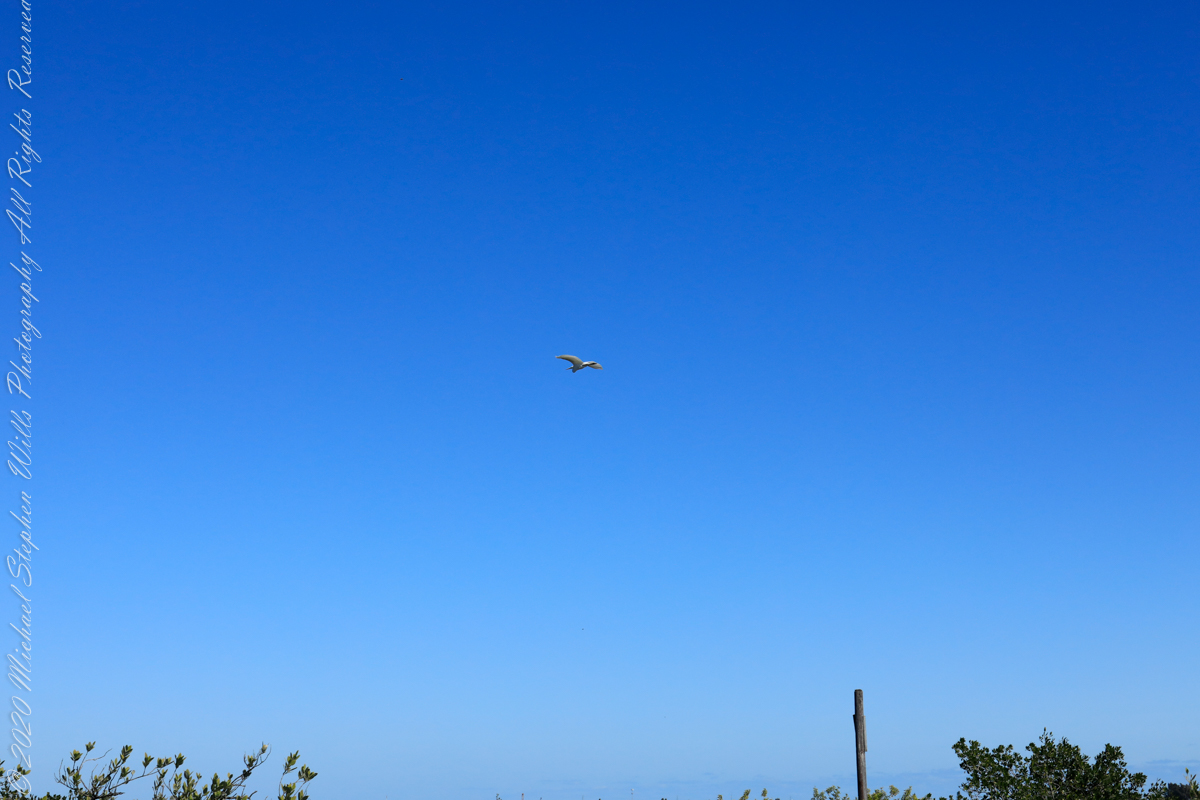
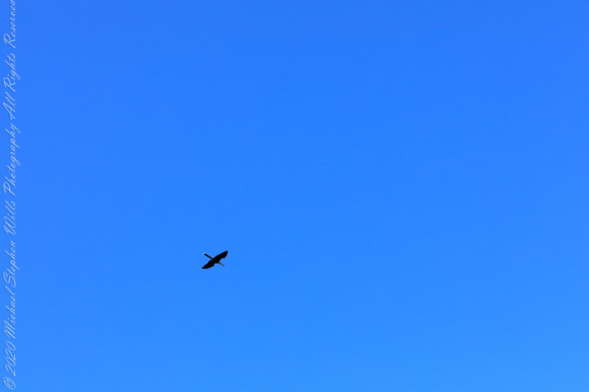
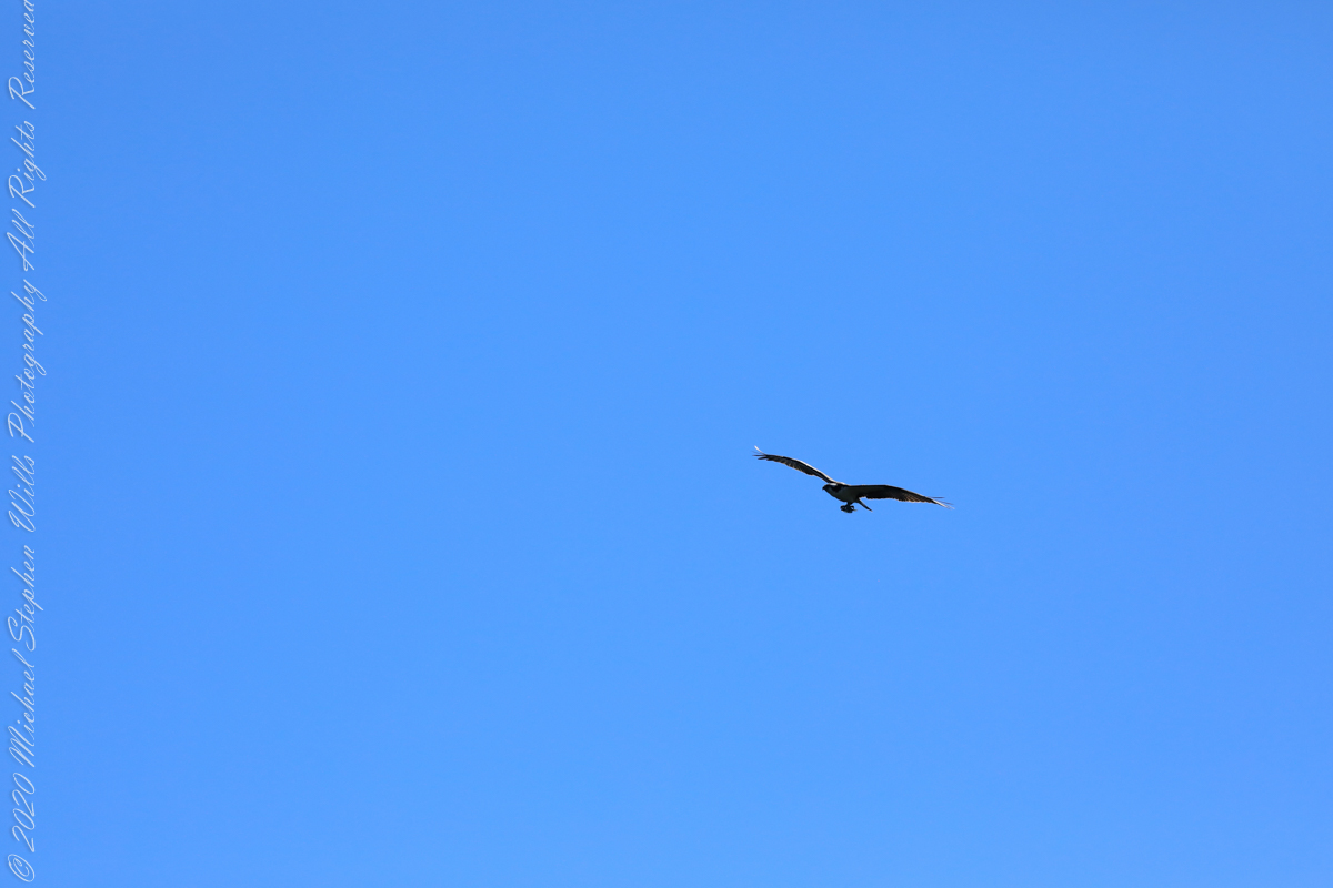
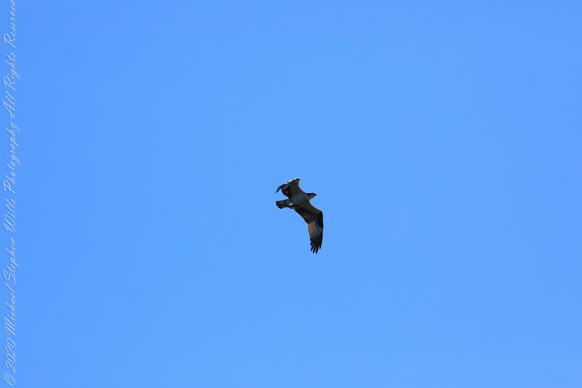
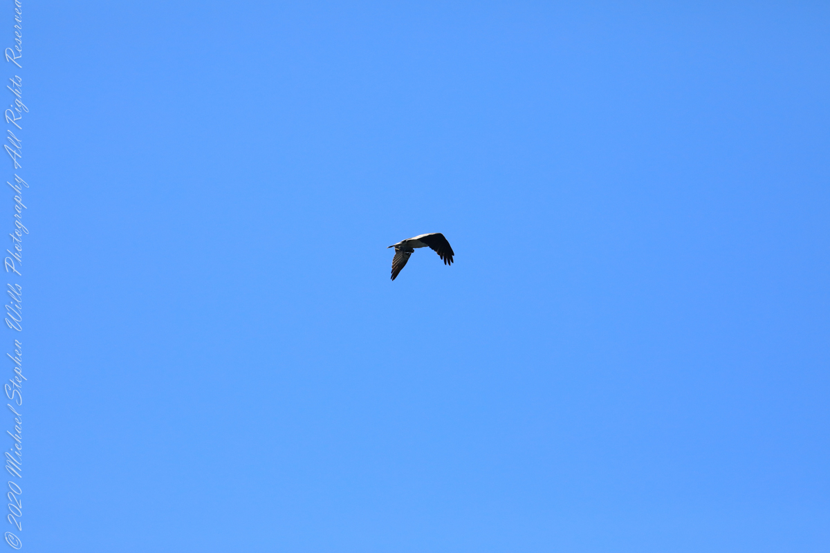
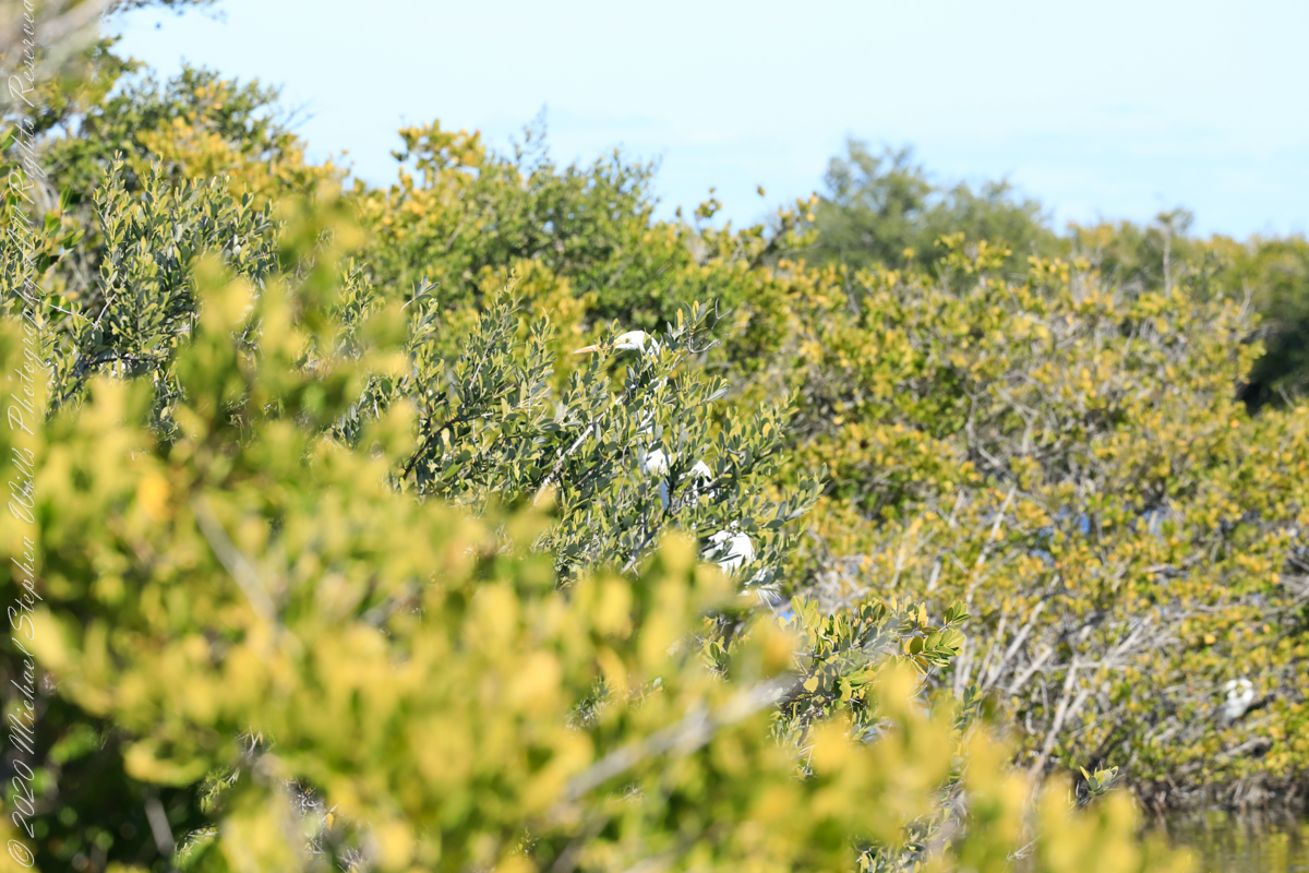
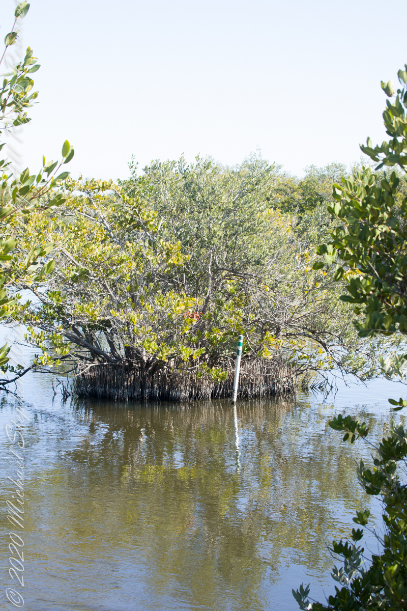
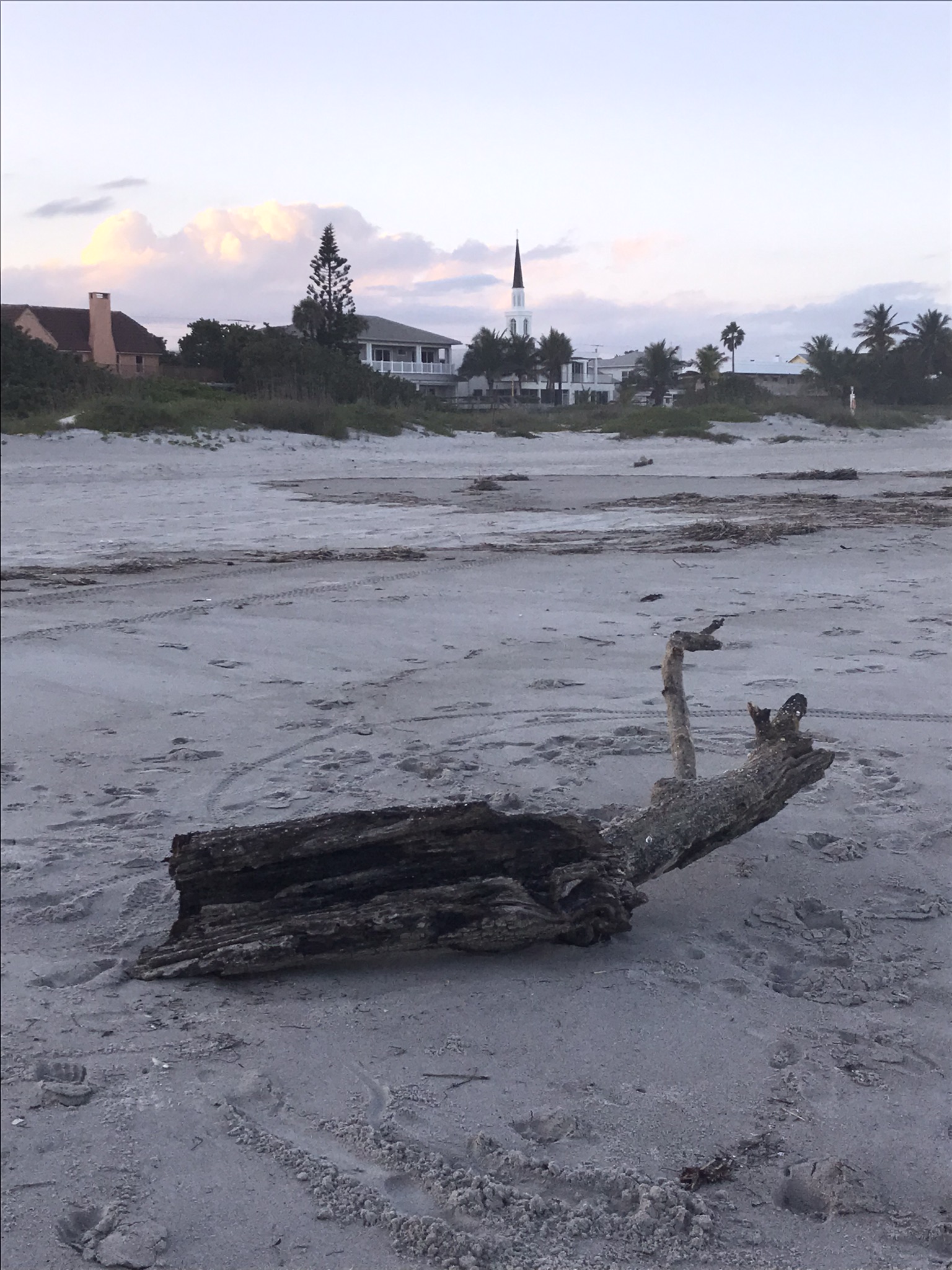
Waterways, sightings
Second Stand
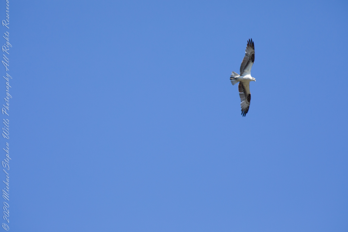
Osprey with catchI see You
Third Stand
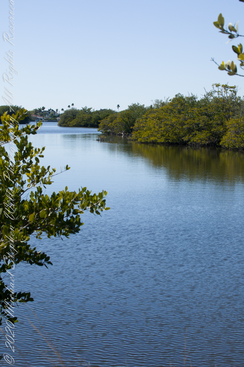
Location of third standCivilization across Sykes Creek (really a lagoon).
No sightings of alligators or manatees.
Copyright 2022 Michael Stephen Wills All Rights Reserved
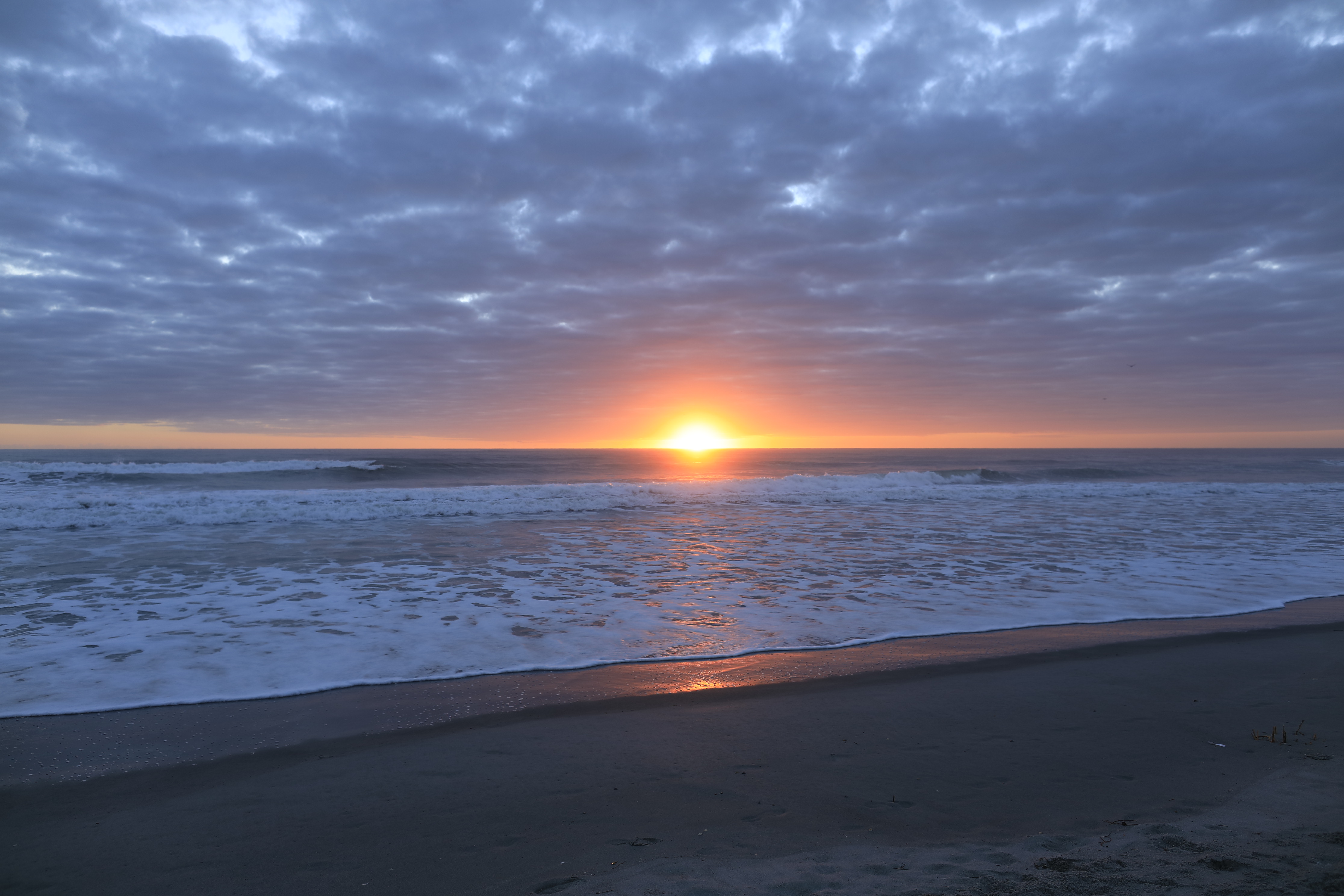
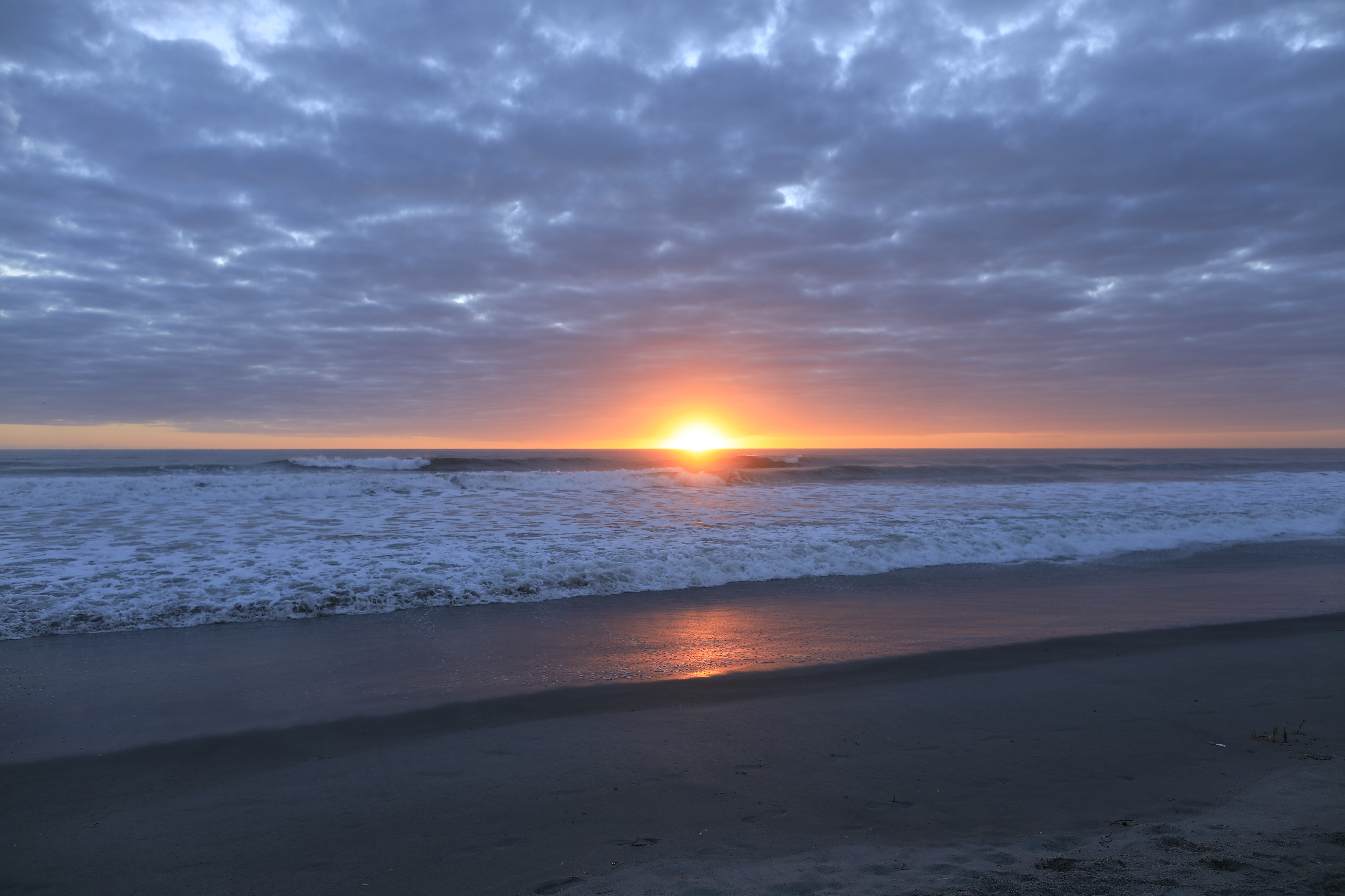
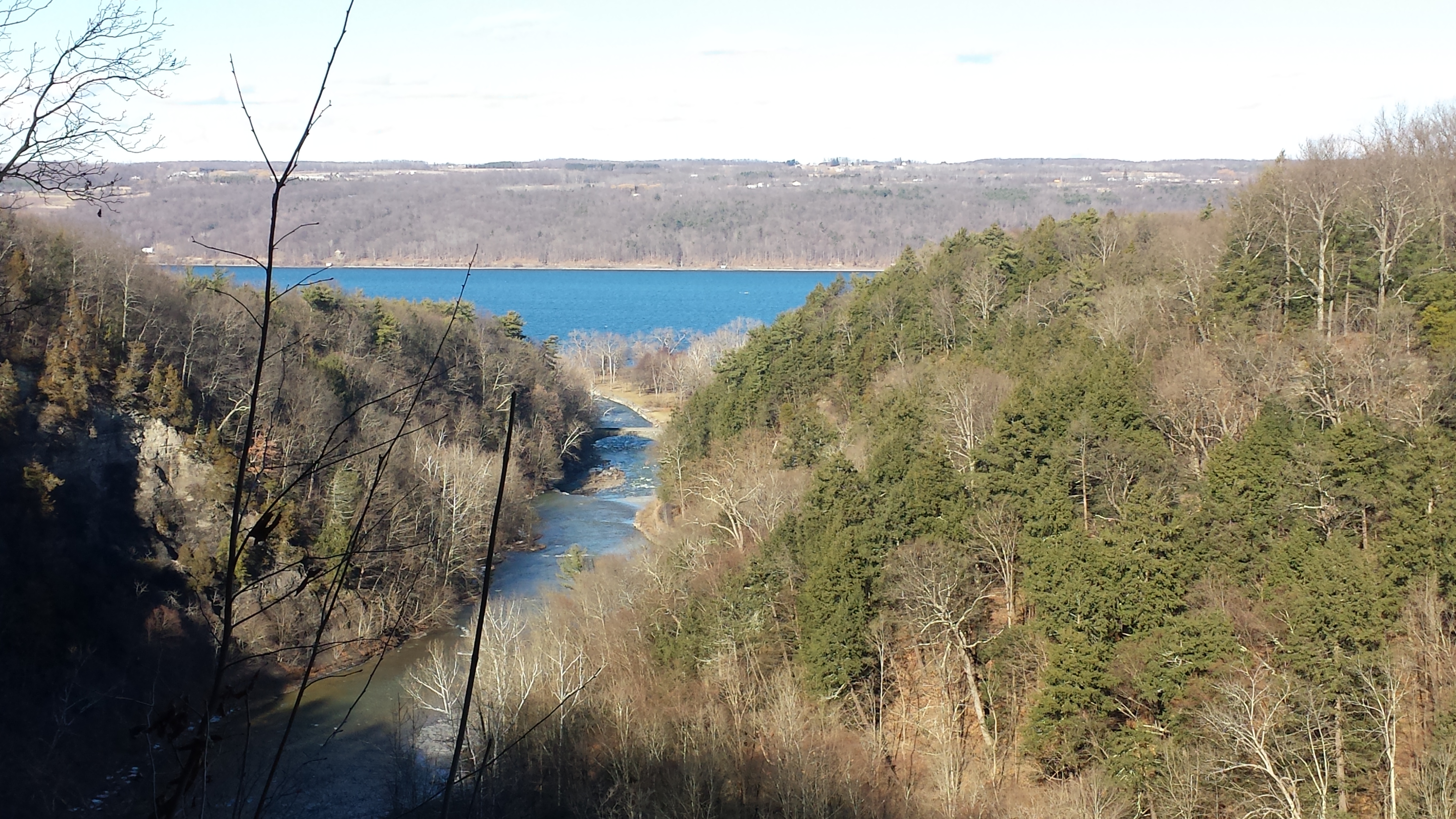
Yesterday afternoon was bright, sunny enough for me to break out of the winter exercise routine for a walk around Taughannock Falls, a New York State Park 7.5 miles from the front door through farmland and small villages with views of Cayuga Lake.
The route around the gorge, following the North and South Rim trails with a side trip to the edge of Cayuga Lake is 3 miles with a modest elevation change of about 500 feet.
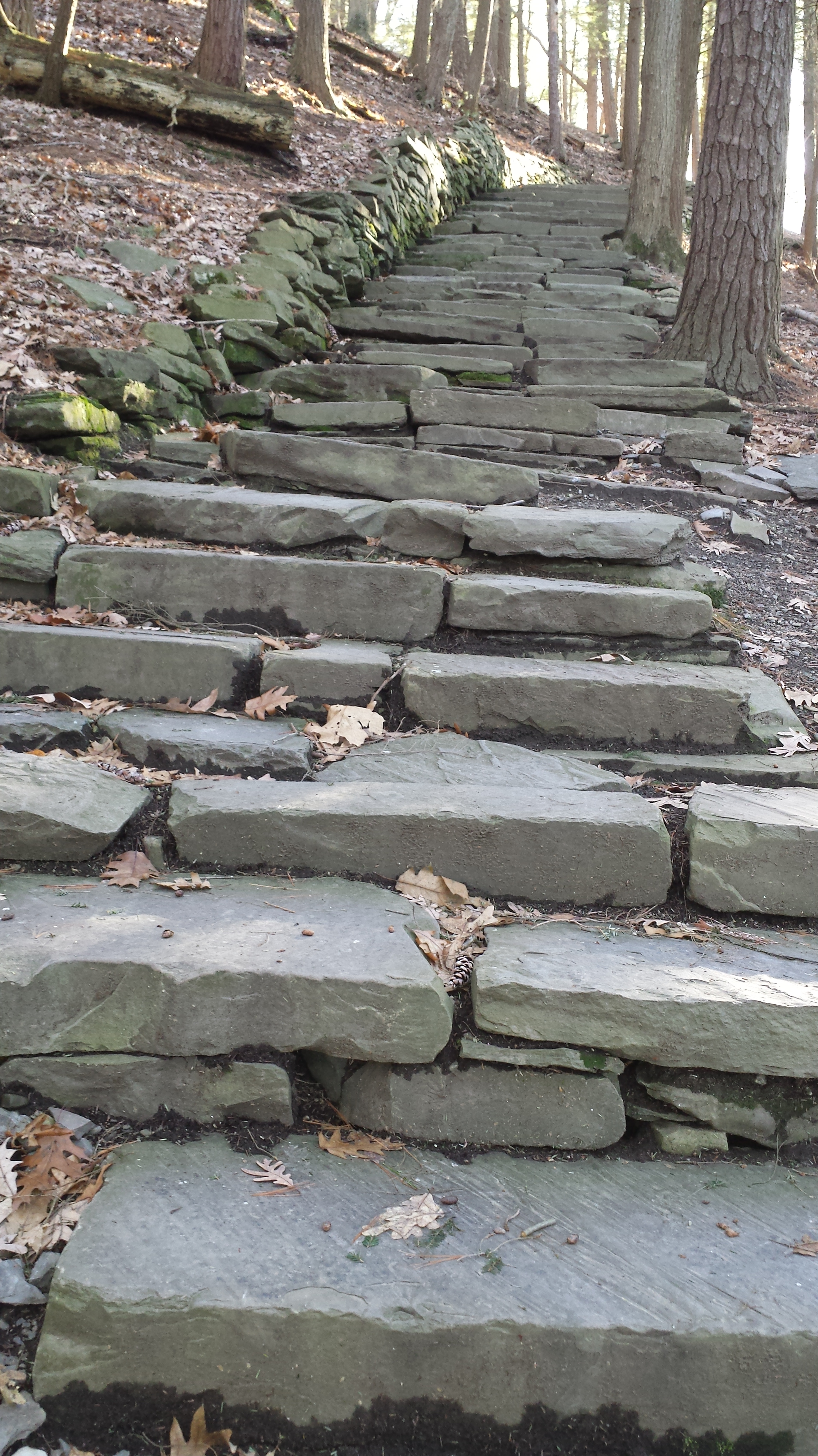
My route began at the top with a cell phone, from the Falls Overlook, there is a gradual slope, until the end where flights of steep stone steps end at the gorge floor. The steps were free of ice and snow.
These photographs are from the cell phone. Here is the lake and a portion of the gorge. Yes, the lake is a dark blue on sunny days and is ice free this year. Another trail follows the gorge floor to below the falls, I opted out of the additional 1.5 miles today in the interest of finishing well before sunset.
Click any photograph to visit my Fine Art version of Taughannock Falls.
I have a few versions of these South Rim Trail stone steps taken at this perfect time of day, the low sun through the trees. Built in the 1930s by Roosevelt’s Civilian Conservation Corp, the steps and the entire trail are a work of art.
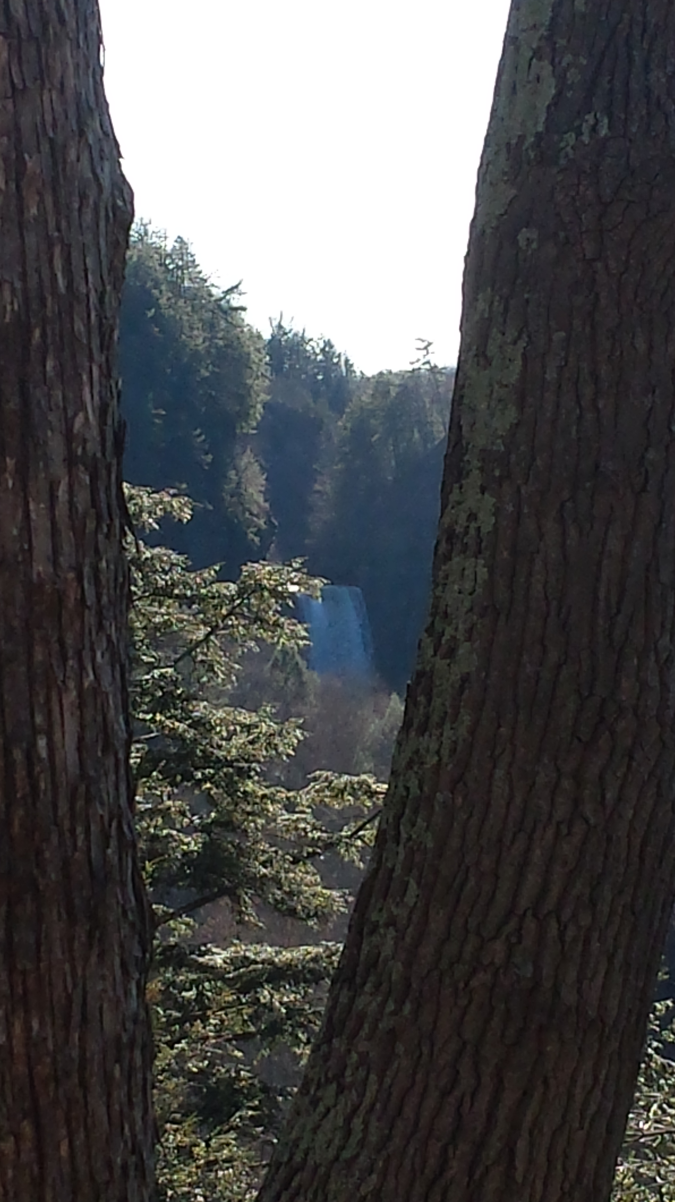
The far view of Taughannock Falls always fascinated me. I’ve never done it justice. There are several view points from the South Rim, overlooking the gorge were it bends to the south with only the upper third of the falls visible. The flow today was photogenic. I used the cell phone zoom to catch the view between the trunks of two trees.
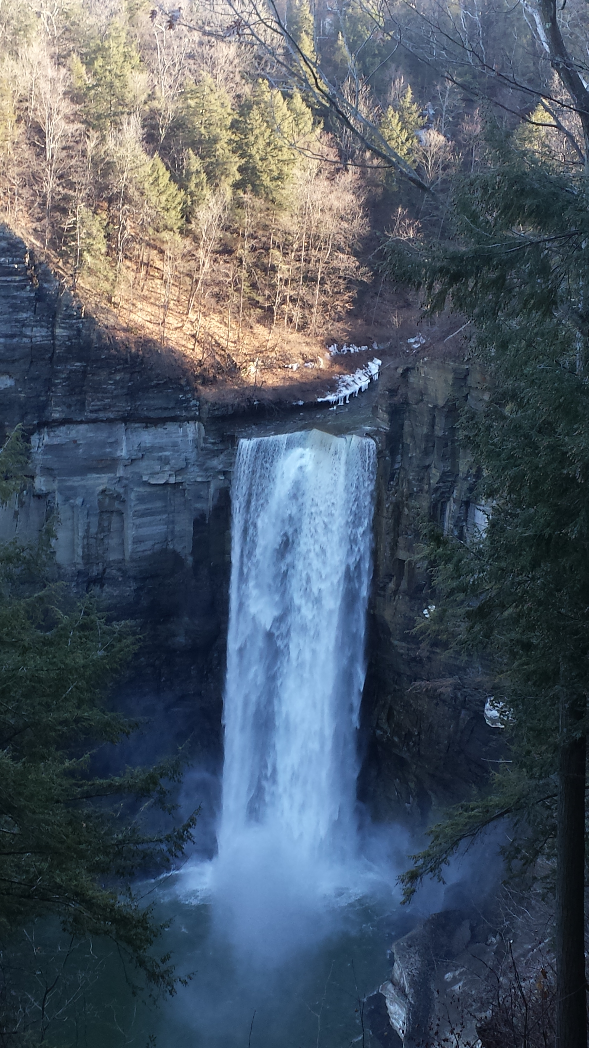
The top of the south rim was the only ice. It is there through April some years. Here is the closest, full view of Taughannock Falls from the North Rim. It is the same view you will find in my Fine Art version of the falls.
And a cell phone video of the falls for the full effect.
Enjoy!!
Copyright 2022 Michael Stephen Wills All Rights Reserved
Thinking about the Aran Islands for my posts, “Killeany Bouy” and “Inisheer Welcomes the 2014 Gaeltacht Irish Football champions” brought me back to Isla Mocha.
Herman Melville’s thoughts were in and around this island off the central Chilean coast when he penned “Moby Dick” in the mid-nineteenth century while sitting in the city of Boston. He was brought Moby Dick not only by his own experiences on a whaling ship, almost certainly Melville owned a copy of Jeremiah N. Reynolds’ “Mocha Dick: Or The White Whale of the Pacific: A Leaf from a Manuscript Journal,” an true-life account of adventures around Isla Mocha. Sometime around 1810 Reynolds personally experienced encounters with Mocha Dick after the crew of an Antarctic expedition mutinied, stranding him at Valparaíso, Chile where he remained for two years.
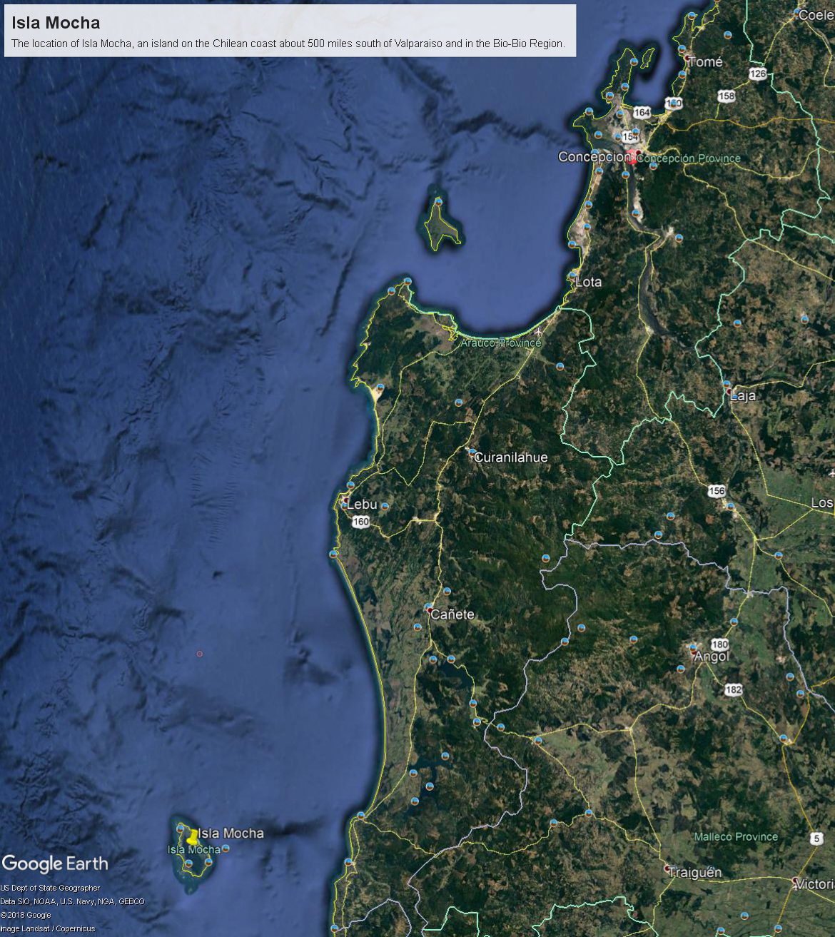
Located 38°21’45.62″S, 73°55’6.91″W, around 8 miles in size north to south, 3.5 miles east to west Isla Mocha is surprisingly simple to find. A ridge of mountains run the north south axis, just 20 miles off the coast, a ship following the coast will find it easily, as I did from the balcony of the Oceania Regatta during a “sea day” of travel between Valparaiso and Puerto Montt.
Since waking that day I was on the lookout for Isla Mocha. In preparation for our month-long cruise around South America every mile of our itinerary was scoured for interesting sights, experiences and information. When I first learned of Isla Mocha (Mocha Island in English) and the connection with Melville reading about it in Boston, just as I was in Ithaca, one of my goals for that day was to catch sight of Isla Mocha as it rose from the horizon.
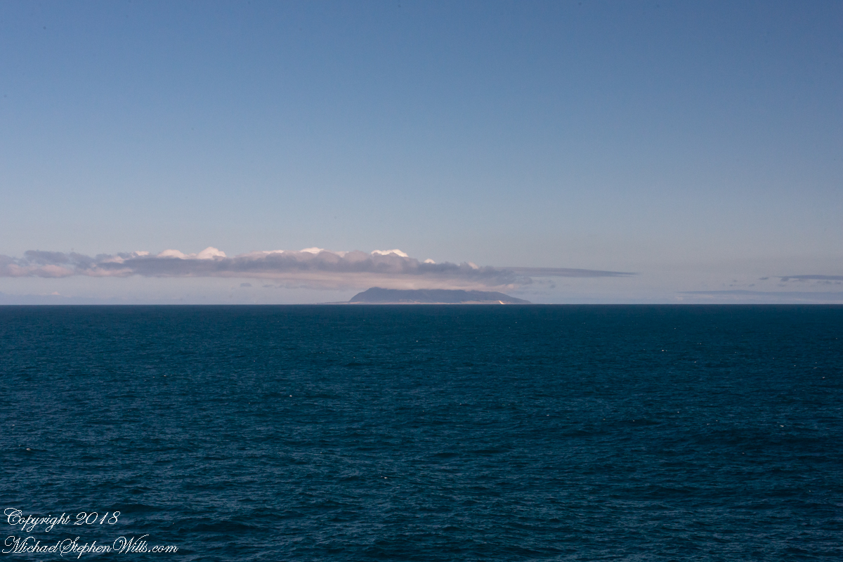
My goal was made easier for the cloud formation from the island mountains. Here is my first photograph, taken from our balcony on the port side. I chose the port side just for the landward view as the ship progressed southward on the western coast of South America. The Canon EOS-1Ds Mark III was tripod mounted with an EF 70-300 f4-5.6L variable lens set to 70 mm. We are northwest of the island with the coast just visible.
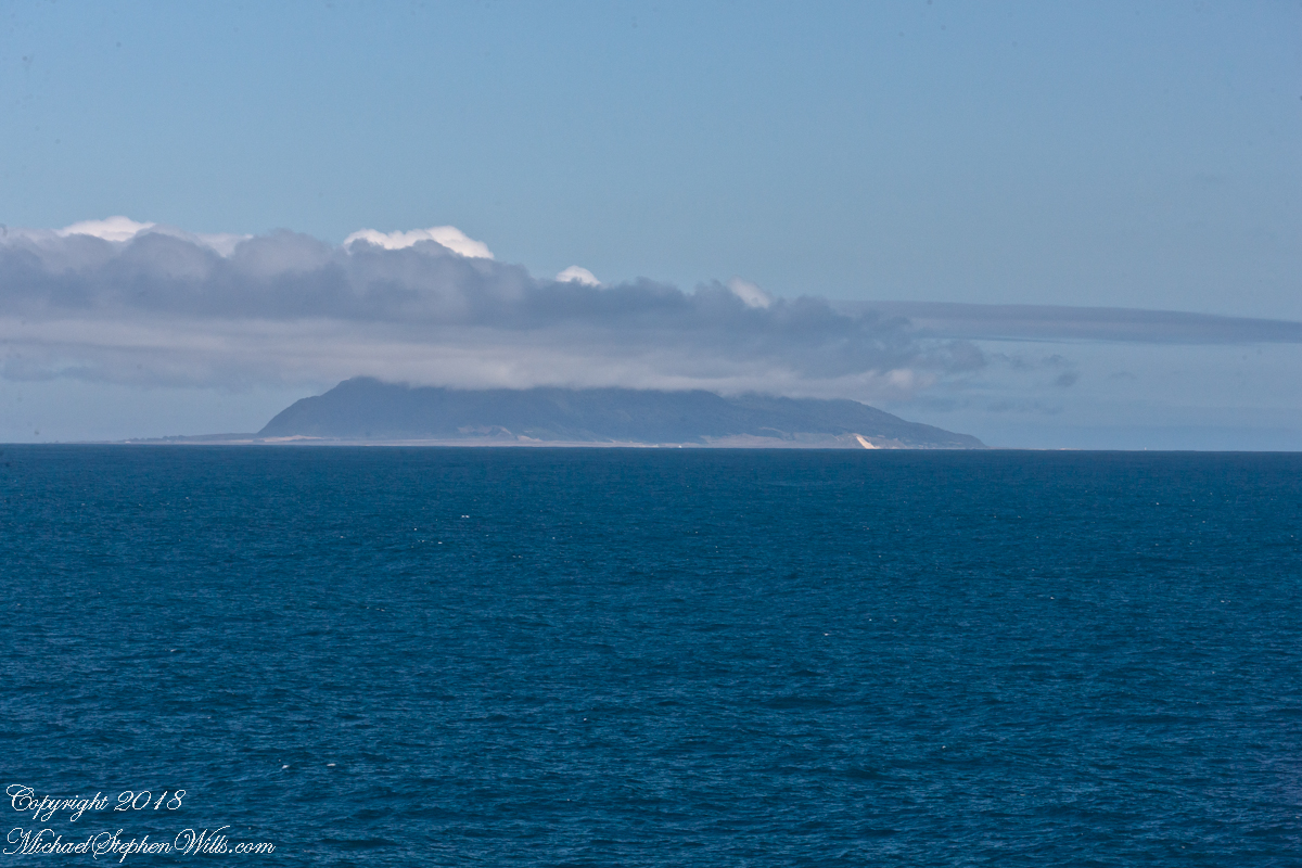
Another view with 188 mm focal length. The ship must have turned eastward, as the view progressed the island came closer. It was a fantastic thought to cruise above the subduction zone where the Nazca plate dives beneath the South American Plate. In the distance, on a clear day, the volcanic cones Villarrea and Quertrupillan are visible.
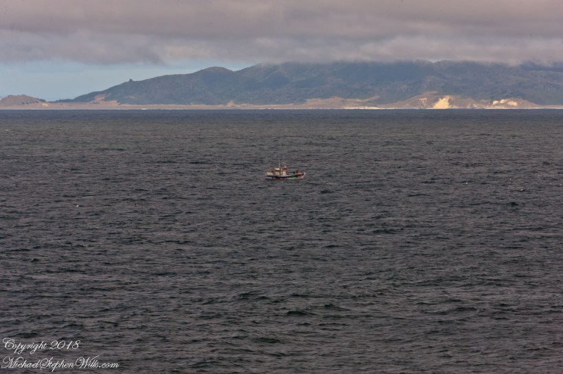
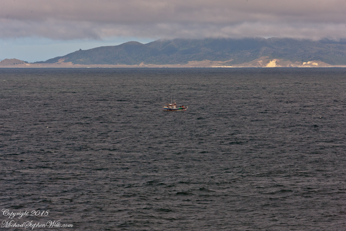
With the island due east, only a few miles away, the lens at 221 mm focal length. A fisherman is having an easier day in a calm sea. The indigenous people told stories of the souls of the dead travelling west to Isla Mocha. Pirates used the island as a resupply base. The fishing boat was the only sign of life.
That was February 14th Valentine’s Day. With Isla Mocha passing into the distance I changed for an evening with Pam. Here we are headed to dinner, somewhere off the coast of Chile’s Lakes (and volcano) region.
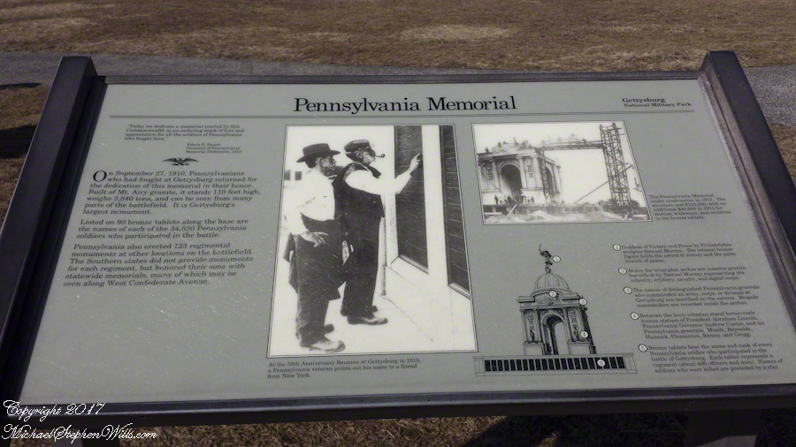
Our practice while taking a long trip in the car is to travel during the day, when possible, and to stop for a rest and some exercise every two hours. We were returning to Ithaca from a long trip down south when, at about the time for a rest stop we crossed the Mason-Dixon line to approach the city of Gettysburg, Pennsylvania on US Route 15.
The signed for the Gettysburg Battlefield pulled us in and we spent three hours looking around, longer than we planned for a rest stop.
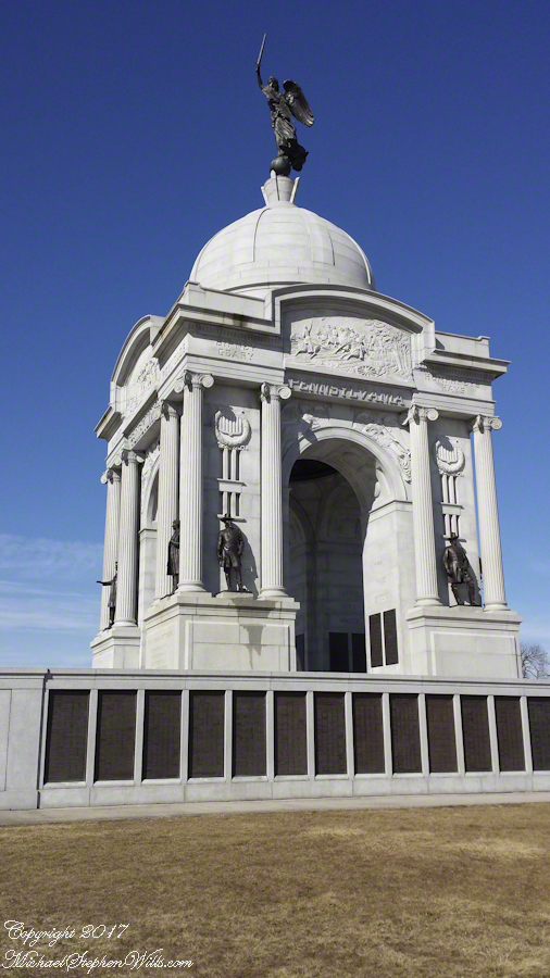
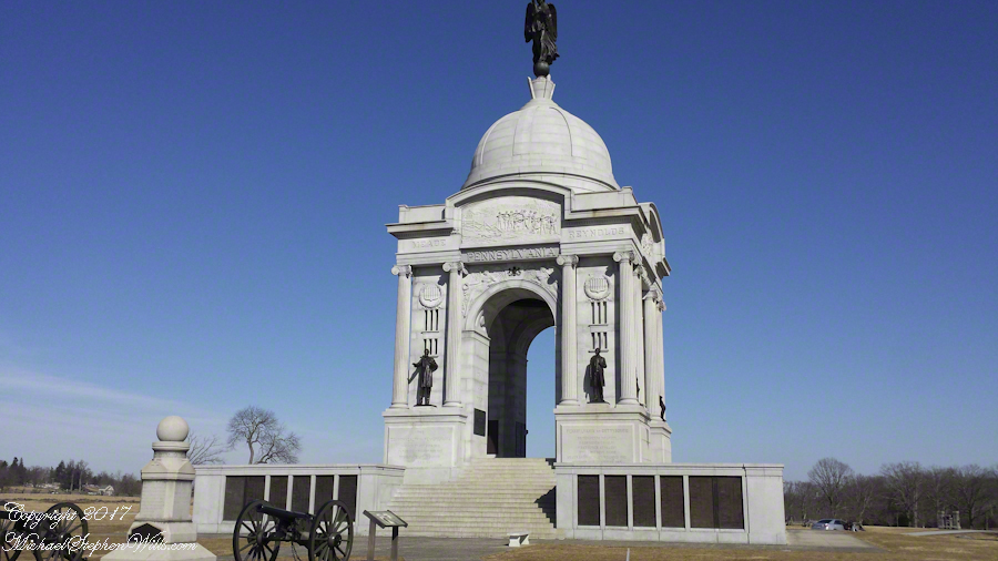
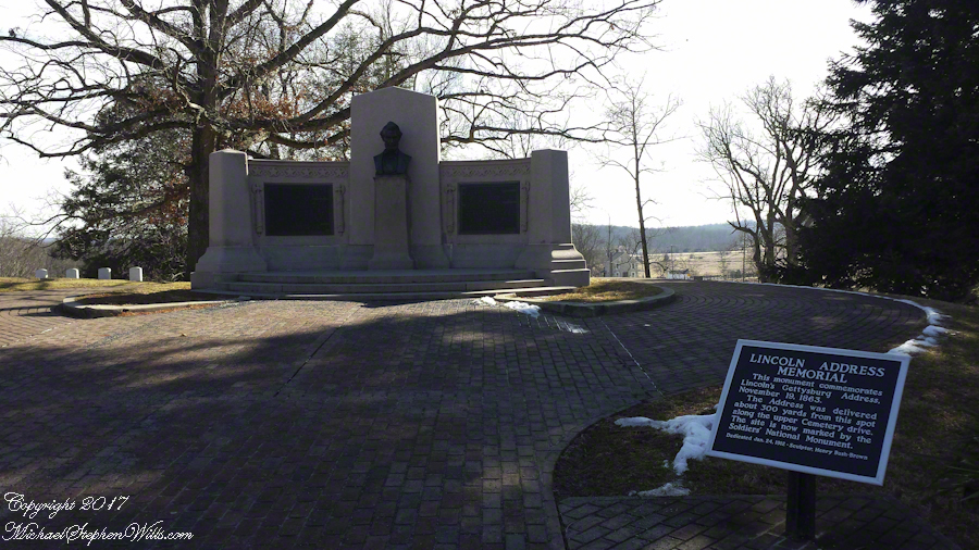
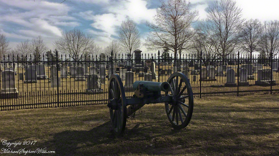
The staff at the visitor center were very helpful with our off the cuff visit plan. With the auto tour in hand we made our way to the “High Water” of the 1863 Battle of Gettysburg, the Union battle line that marked the end of Lee’s second invasion of the north and the turning of the Civil War.
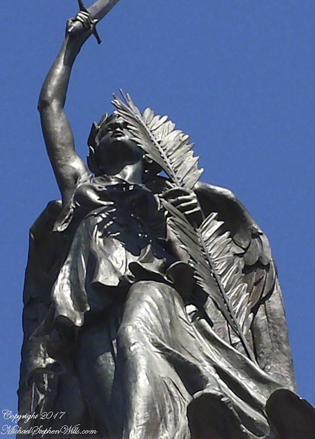
The Pennsylvania Memorial near the Highwater Mark of the 1863 Battle of Gettysburg.
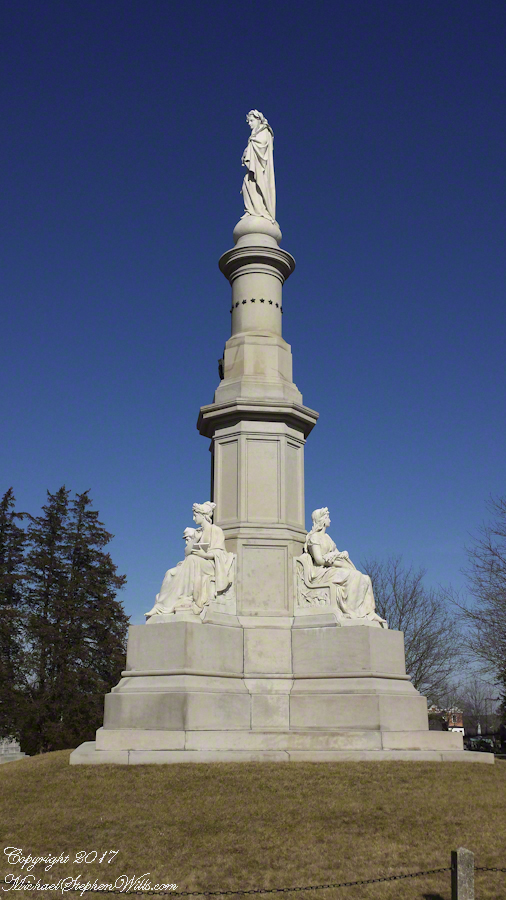
The expanse of the Gettysburg National Military Park warrants a stay of three days, at least.
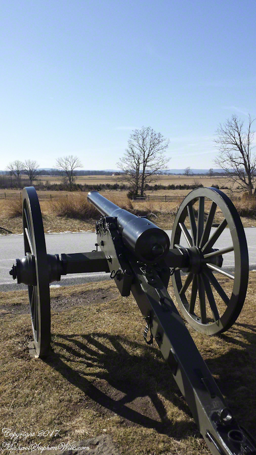
These photographs from my cell phone, augmented with titles and description, will give you a taste of what this national historic site has to offer.
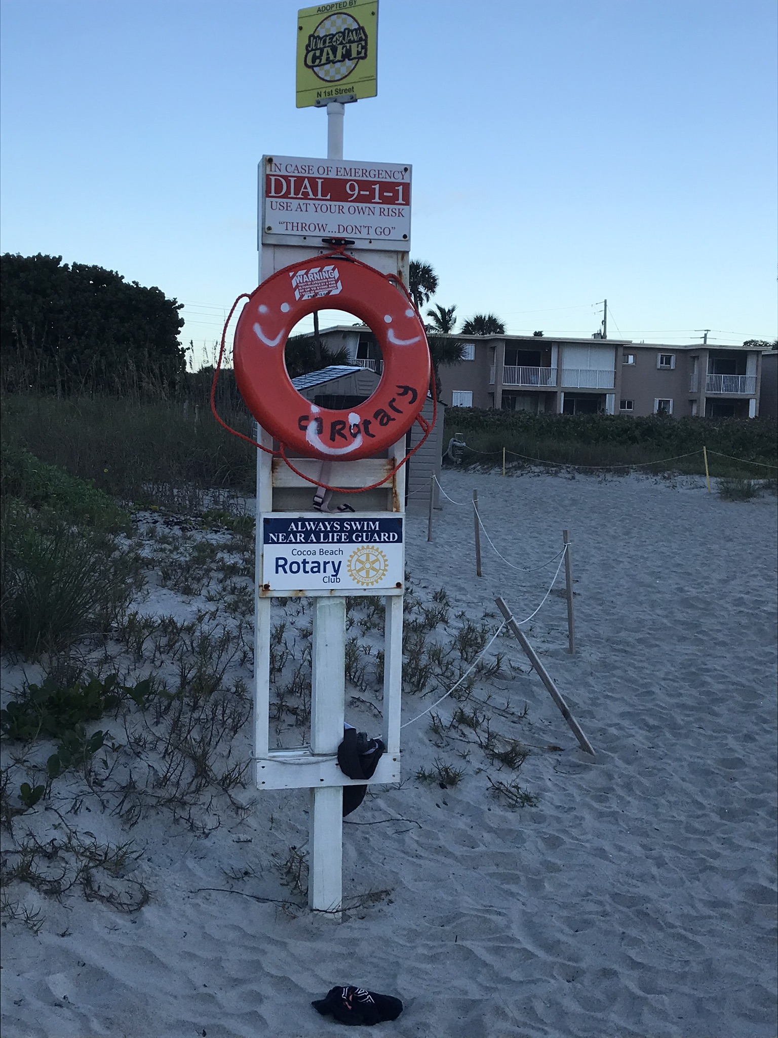
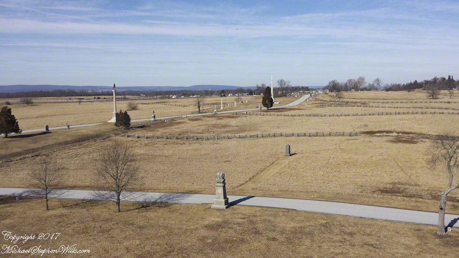
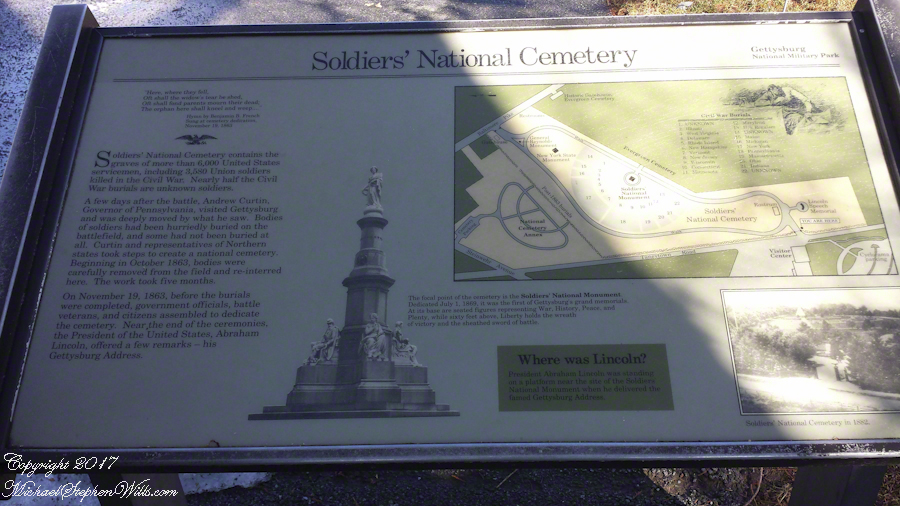
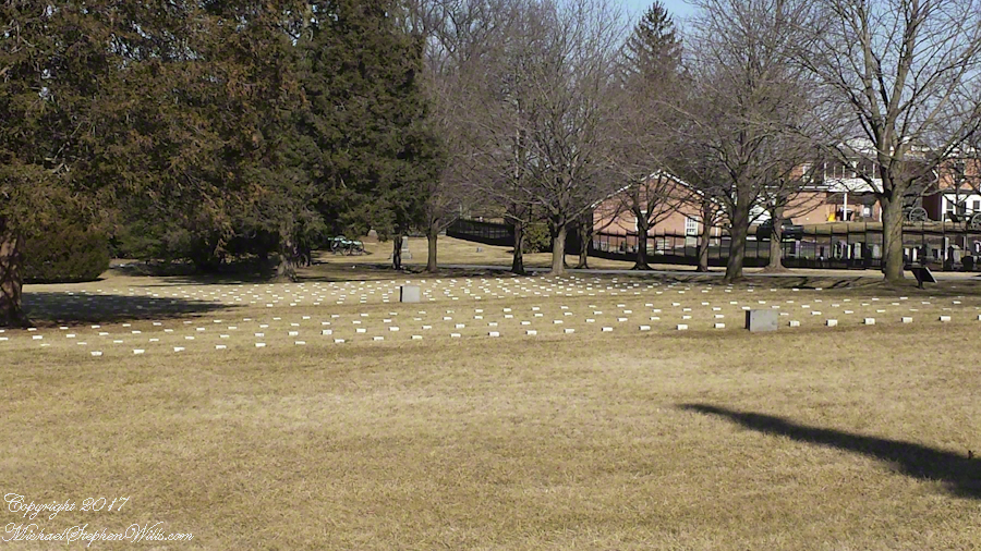
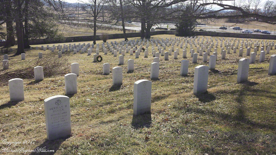
Gettysburg National Military Park includes the graves of more than 6,000 United States Servicemen, including 3,580 Union soldiers killed in the Civil War.
Notably, the day of our visit, February 12, is Lincoln’s Birthday. February was a quiet time to visit and we were blessed with a sunny, mild day. In the warm weather the place is packed with visitors.
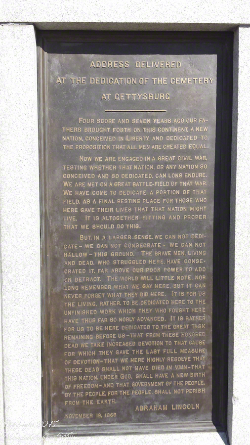
I have a feeling for the place because my 10th birthday in 1963 coincided with the hundredth anniversary of the Civil War. Also because a figure in the aftermath of the battle, David Wills, shares my surname. A lawyer who lived and practiced in Gettysburg, David Wills organized the burials and it was at his home that President stayed before the dedication of the cemetery and where the final touches of the Gettysburg Address were written. His home, a museum, is closed in the quiet season.
Most Americans alive today would not exist if this battle turned out differently.
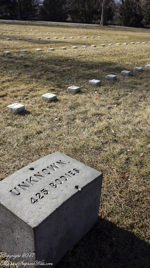
One of the chilling realizations from the day is almost half the Union graves are for unknown soldiers.
Nearly half of the Union graves are unknown soldiers.
The Whitehouse Ruin of Canyon de Chelly is just visible at left in the far cliff, in the notch of the near cliff. The ruin trail is visible on the canyon floor. Notice the road following the canyon and the plantings with house on the right.
The landscapes I capture, like the face of a missing friend, fade gently from memory. My piece “Moon Fin Canyon de Chelly” became a mysterious vision. I remembered the context, the canyon topology was lost until I constructed the panorama, above, from three shots taken one evening, July 2008, from a cliff near the White House Overlook. Five years after my visit with Sean Wills, Pam and I returned to Canyon de Chelly to walk the same path.
At that time, a 50 mm lens was my widest angle, so I would take multiple images in sequence and use Photoshop later to construct a panorama. This past Sunday afternoon I spent stitching together my work from 2008. In doing so I see “my fin”, in the center, bordered by the canyon road, is attached to the White House Ruin cliff via a thin ridge.
During that session a photogenic thunderhead, lit by the evening, hovered behind the fin as the gibbous moon did that long ago evening.
This is an answer for those of who responded to my last post Valparaiso Connections VI with “what does that desert in Peru have to do with Valparaiso?” It starts with the Plaza Victoria at the end of Pedro Montt Avenue. Victoria, as in victory not Queen Victoria. At the beginning of the 19thcentury this was a beach, the site of several ship wrecks. It was set aside as a gathering place by the Mayor, named Plaza Nueva (New Plaza), for a bullring until bullfights a law banned bullfighting on September 1823. The plaza became a place of public executions and, after Chile’s victory in the Battle of Yungay, a place of celebration, formally renamed for the victory.
The Central Valley of Chile is an exception to the topology north through Lima where agriculture and population centers follow river valleys watered by the Andes and surrounded by waterless wastes. Yungay, is among one of those watered desert valleys. Located 120 miles north of Lima, Peru at about 8,000 feet just below a summit of the Western Andes, remnants of cultures from 10,000 B.C. are proof of agriculture and human settlement. It was near Yungay, on January 20, 1839 (summer in the southern hemisphere) a force of Chilean and Peruvian dissidents called the United Restorative Army defeated a Peru-Bolivian Confederation Army to end the War of Confederation. The resulting split into different countries of Peru and Bolivia weakened a threat to Chile and Argentina, aimed in large part toward the broad and fertile Central Valley of Chile. The desperation in view in my post Valparaiso Connections VI was in large measure a motivation war, this motivation is still powerful today.
The subsequent prosperity allowed reclamation of the land of Plaza Victoria from the sea. For example, in my post Valparaiso Connections V we learned how French immigrants arrived and developed Central Valley wineries in the 19th century. Around the time of the victory Chacobuco Street was built adjacent to the plaza on reclaimed land, the Plaza Victoria was pulled from the sea.
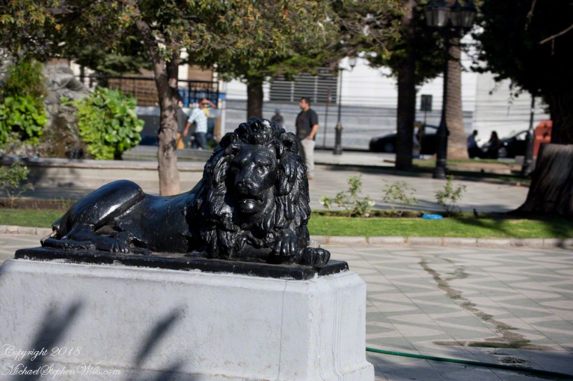
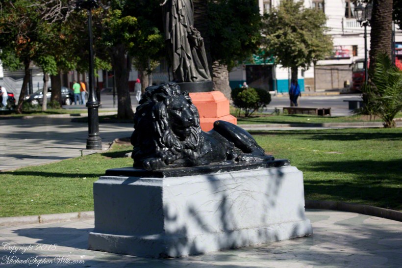
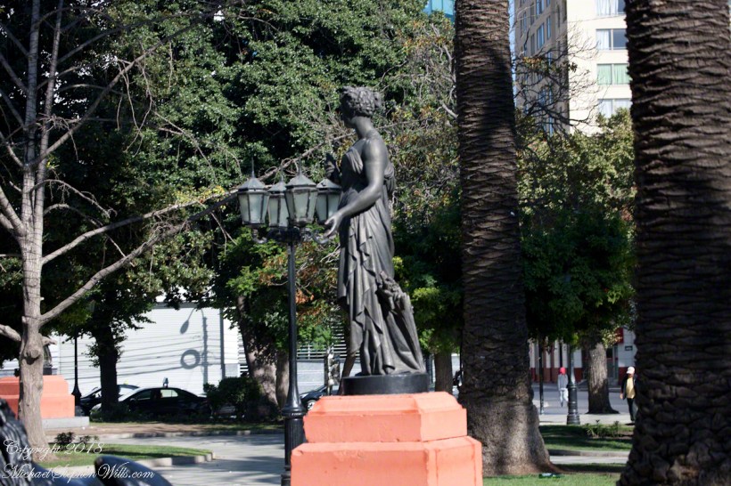
The concrete Lions and bronze statue captured in the above gallery, were elements of a round of enhancements to Plaza Victoria begun 1870.
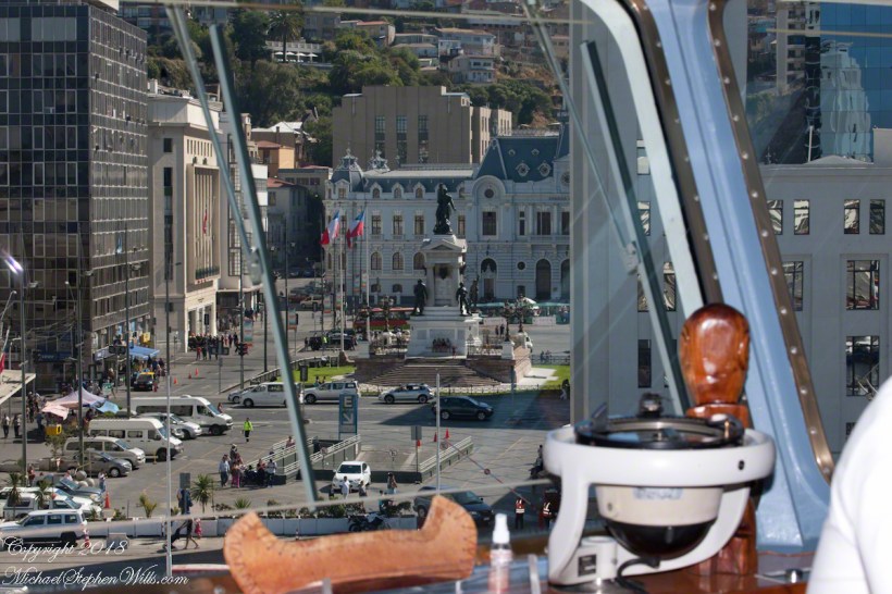
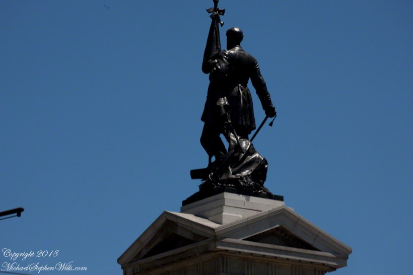
Monument to the Heroes of Iquique
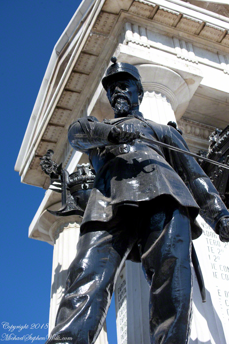
Here we see from the Regatta bridge a monument to the Heroes of Iquique. The Battle of Iquique, May 21, 1879, is remembered annually as Naval Glories Day (Dia de las Glorias Navales) .
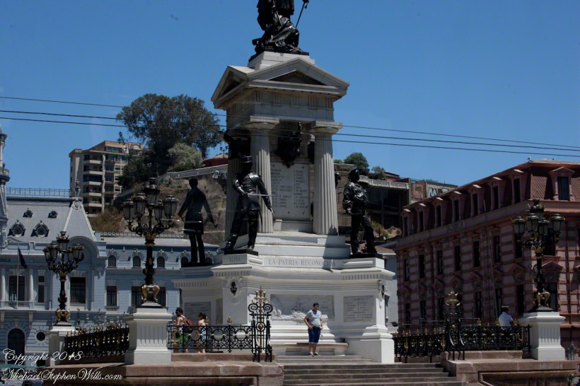
This monument commemorates the destruction of the Chilean warship Esmeralda. At the monument peak is Arturo Prat Chacón, captain of the Esmeralda who perished with his wooden ship. He and the crew were blockading the then Peruvian port of Iquique along with another ship, the Covadonga.
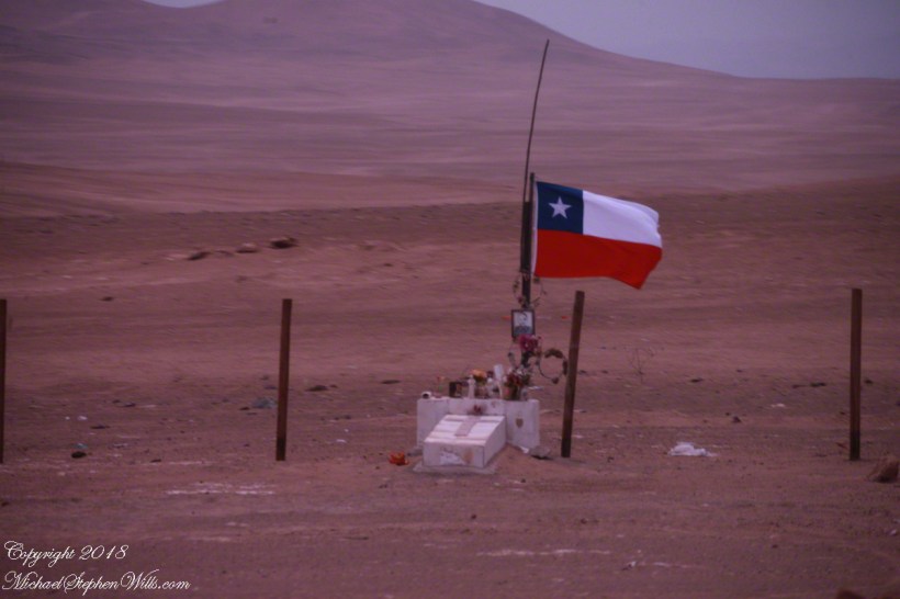
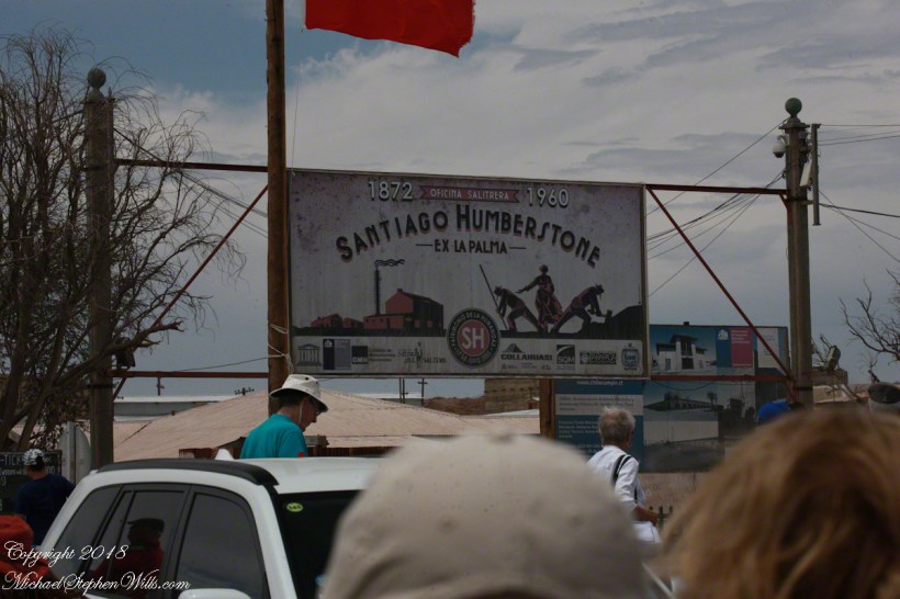
May 1879 was in the initial phase of the War of the Pacific, fought over rich mineral deposits of the Atacama desert. Today, the Chilean flag is over these barren wastes, seen here flying over a roadside memorial to an automobile accident victim. The desert is the backdrop, there are no animals or plants here, only red dirt. NASA uses the Atacama in simulations of the Martian environment.
There are deposits of the mineral saltpeter, mined by large operations. Here is the entrance of a World Heritate site we visited while docked at Iquique.
The mining operation was literally scraping the deposits lying on the ground and processing it into, among other products, nitrogen fertilizer. At that time the operation was hugely lucrative, employing thousands in very difficult conditions. That is a different story.
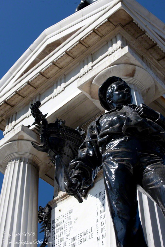
Captain Prat faced two armored Peruvian warships, one the iron clad Huáscar. Over the course of four hours the Esmeralda was overpowered and sunk. The Huascar and the 22,500 mountain peak at Yungay, Huascarán, are named for an Inca chief.
The monument honors the bravery of Captain Prat and his crew, all of whom are named on plaques.
After the Huáscar rammed Esmeralda a third time to sink it, the Huáscar captain, Miguel Grau Seminario, rescued Chilean survivors in danger of drowning. In the meantime, the armored Peruvian warship was lured into the shallows and destroyed. Although the blockage on Iquique was lifted Peru lost one of its most powerful ships at the cost to Chile of an older wooden ship.
The defeat and examples of the Esmerelda crew and captain brought a wave of recruits to the Chilean forces. Chile was the victor of the War of the Pacific, vast tracks of the Atacama desert were taken from Bolivia, including the Saltpeter mines, shutting that country off from the Pacific Ocean. There is a connection between these memories and the Training Ship anchored in the harbor, the sixth ship to carry the name, Esmeralda (BE-43).
See my posting Valparaiso Connections V for the more recent history of the Esmeralda.
Copyright 2022 Michael Stephen Wills All Rights Reserved