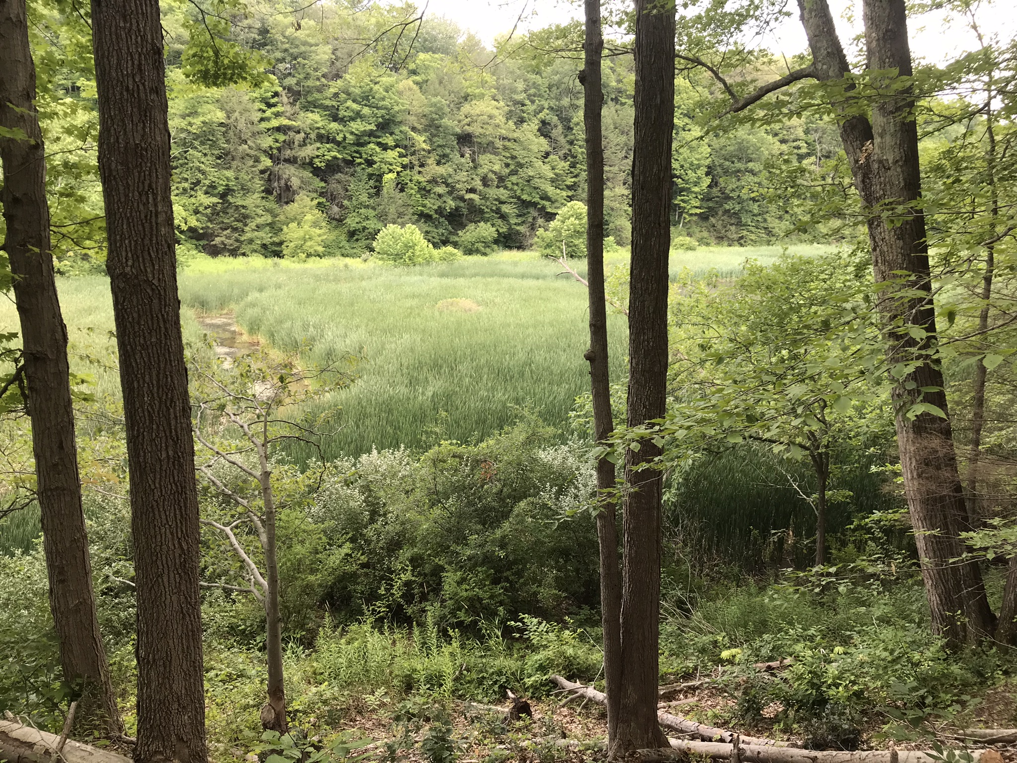
Starting from the First Water Trailhead, the Dutchman trail leads over Parker Pass into a large basin at which the branches, East and West and Little, of Boulder Canyon meet.
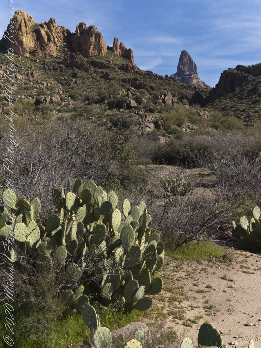
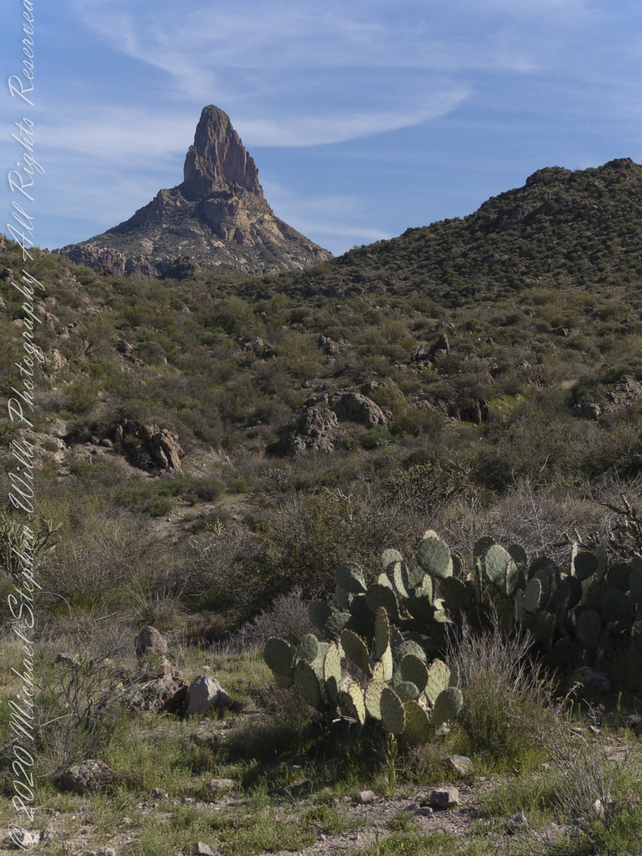
This southeast view is from the widest portion of the basin. You are looking toward Palamino Mountain and the top of Weavers Needle. There’s a path in there up to that Palamino Mountain ridge, note the hoodoos on right.
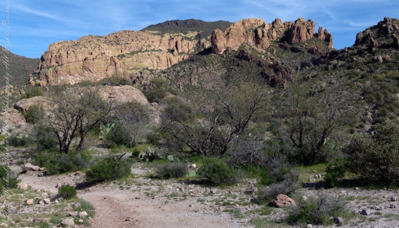
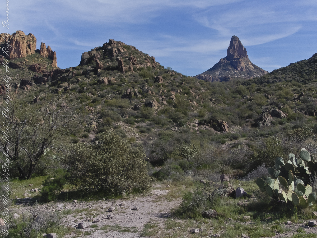
Dutchman Trail turns right up ahead to proceed between Palamino Mountain and Black Top Mesa, both shown in this photograph. The ridge of the mountain reminds some of a horse and there is an arch, Aylor Arch, on the southern side: here was approach the north side. Aylor is the family name of gold prospectors who set up camp on that south side close to where we will spend the night below Weavers Needle.
View of Palamino Mountain and Black Top Mesa from Dutchman’s trail.
Black Top Mesa is named for a layer of black basalt. Look closely to see the crags on the mesa (the flat-topped mountain) are black. Gold prospectors who combed Black Top Mesa over the years found not one speck of gold.
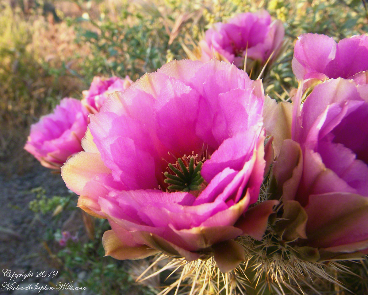
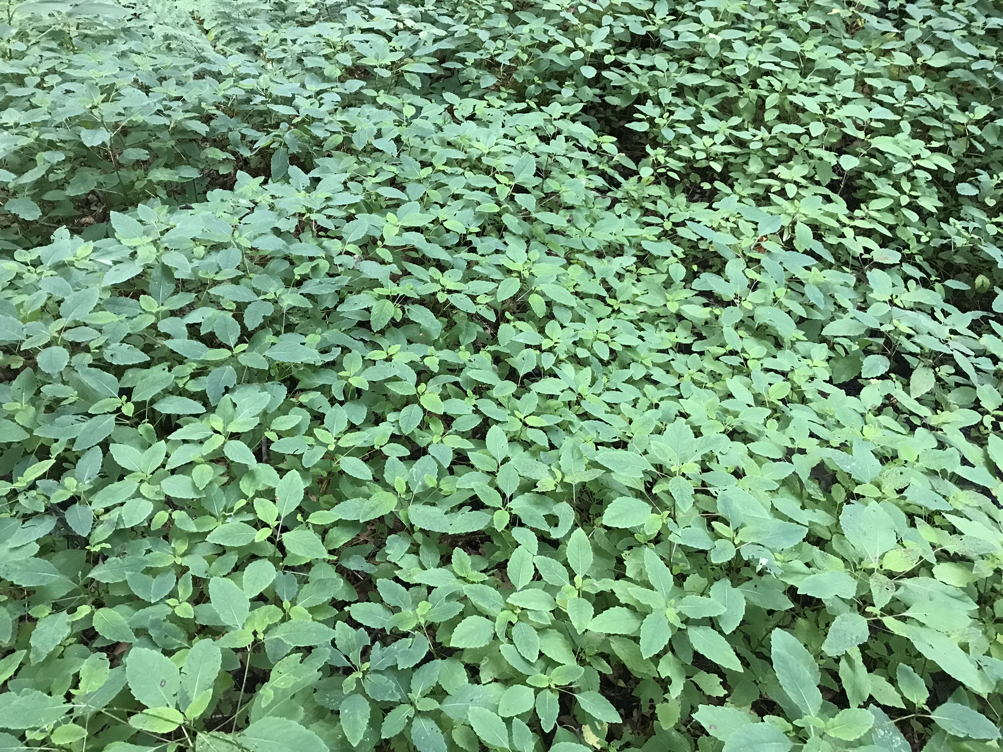
Prickly Pear cactus is in foreground. In season these produce magnificent flowers, see below.
Prickly Pear flowers at the Arizona-Sonoran Desert Museum outside of Tucson, Arizona
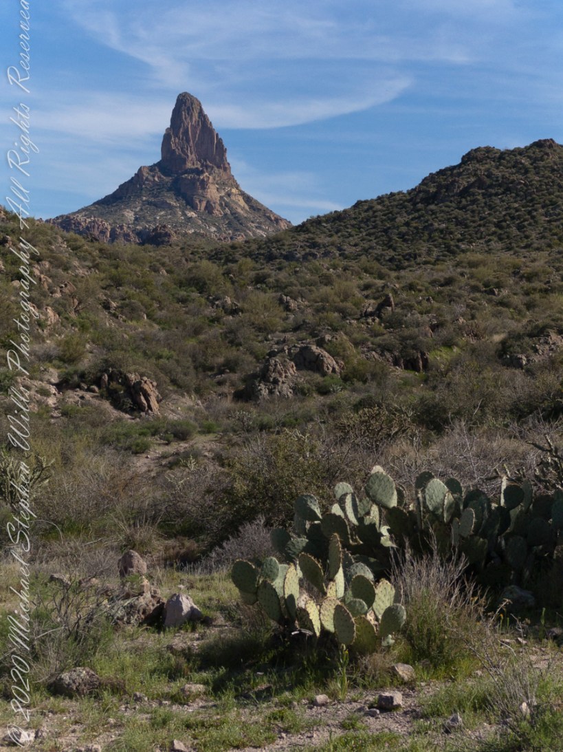
East by Southeast a low ridge forms the west side of the canyons above which Weaver’s Needle looms. “Weavers Needle has played a significant role in the stories of the Lost Dutchman’s Gold Mine. The Needle’s shadow reportedly indicates the location of a rich vein of gold, and many treasure hunters have searched for it. The hunt for gold around Weavers Needle has been pursued by hundreds (possibly thousands) of people. Weavers Needle has a large split in the side that makes it look like it has two tops, not one. This can only be viewed from the side.” — wikipedia
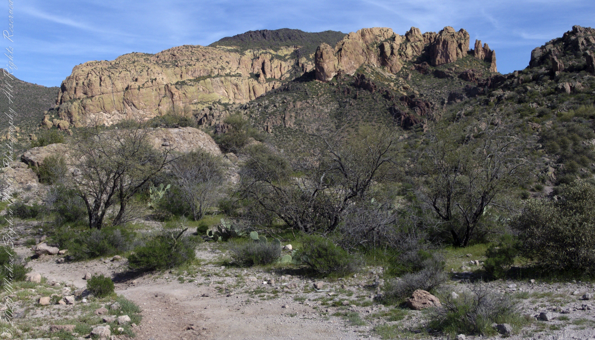
To the far left is Palamino Mountain.
Reference: wikipedia “Weavers Needle”
Copyright 2022 Michael Stephen Wills All Rights Reserved
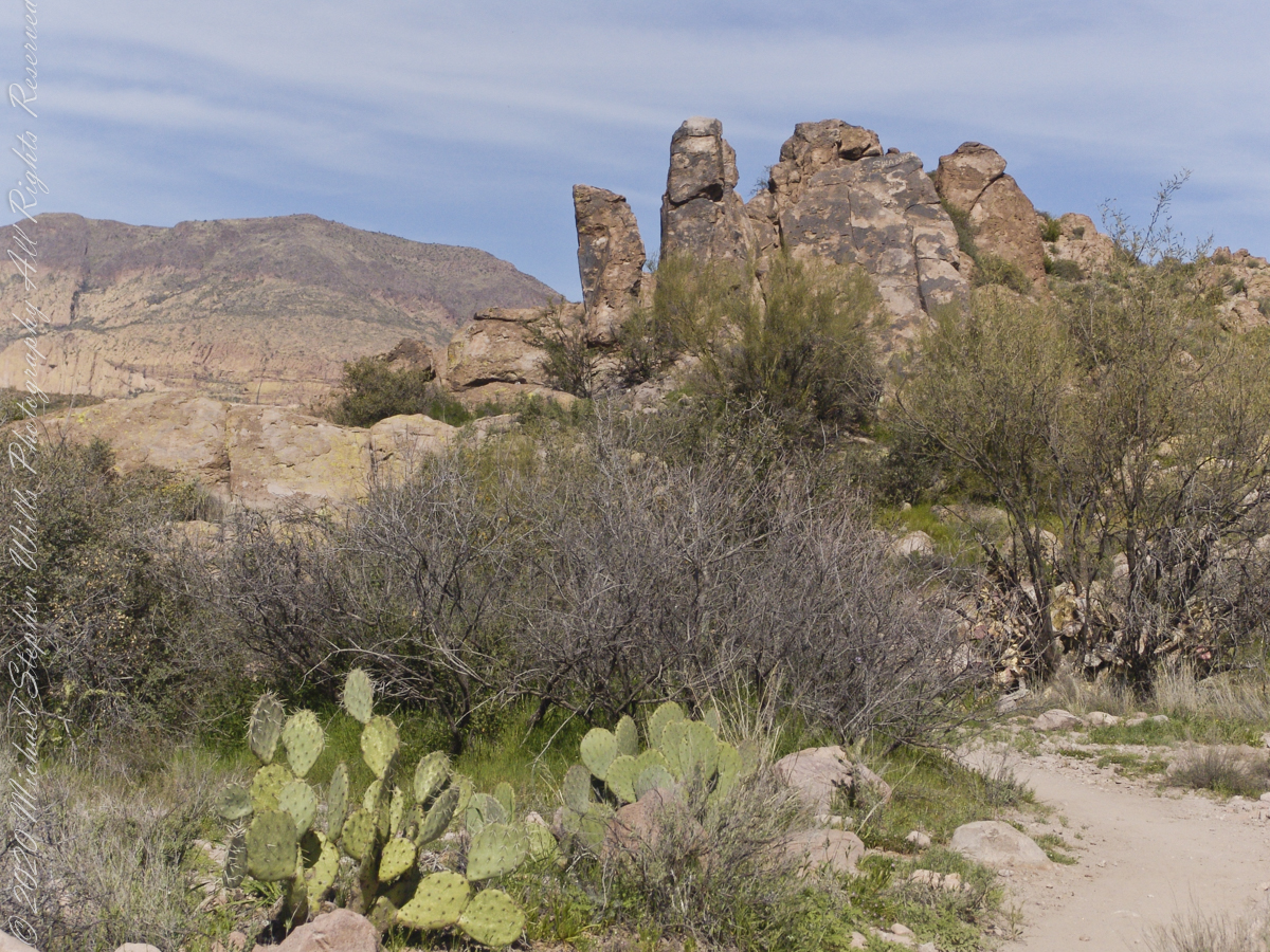
The Dutchman trail curves around this rocky outcrop on the east side of O’Grady Canyon, on the left are two hoodoos, on the right side a vandal has defaced the rock. Prickly Pear Cactus in foreground. Malapais Mountain, in distance. Malapais is from the Spanish term Malpaís, meaning badlands.
Signs and wonders, such as this mysterious “S”, lure people into the Superstitions. Two years after our expedition, July 2010, three men set out from First Water trailhead on a quest for Superstition Gold, never to be seen again. Unprepared for the summer heat, the skeletons of two found January 2011 on the slopes of Yellow Peak, a straight-line mile from this location.
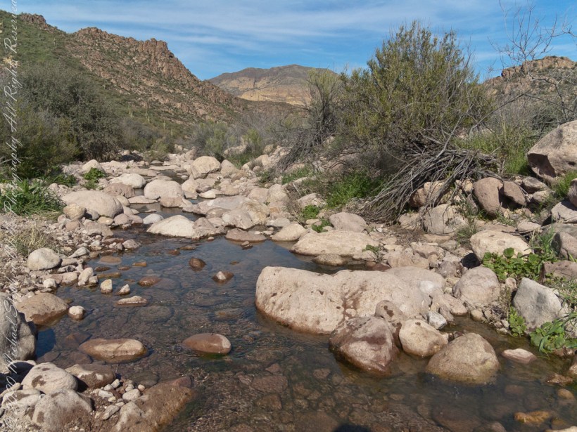
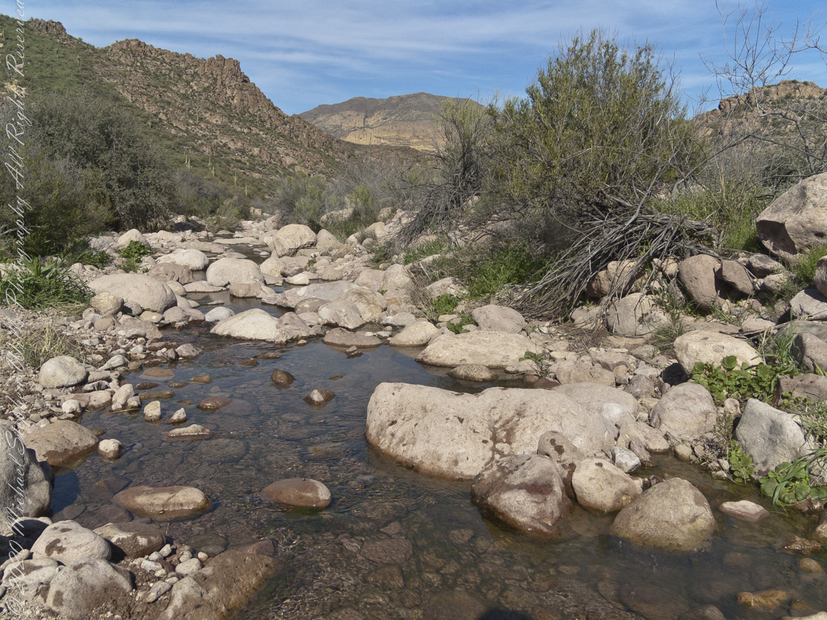
The blessing of desert water flows through a portion of West Boulder Canyon known as O’Grady Canyon, named after “Rattlesnake” Tim O’Grady who prospected the area mid-Twentieth Century.
Even more so as this is an intermittent flow, dry boulders offer no solace in dry seasons. In the distance, beyond a Black Mesa ridge studded with Saguaro cactus, is Malpais Mountain (Spanish, “Bad Country”). Closer, on the right, is the ridge of Palamino Mountain.
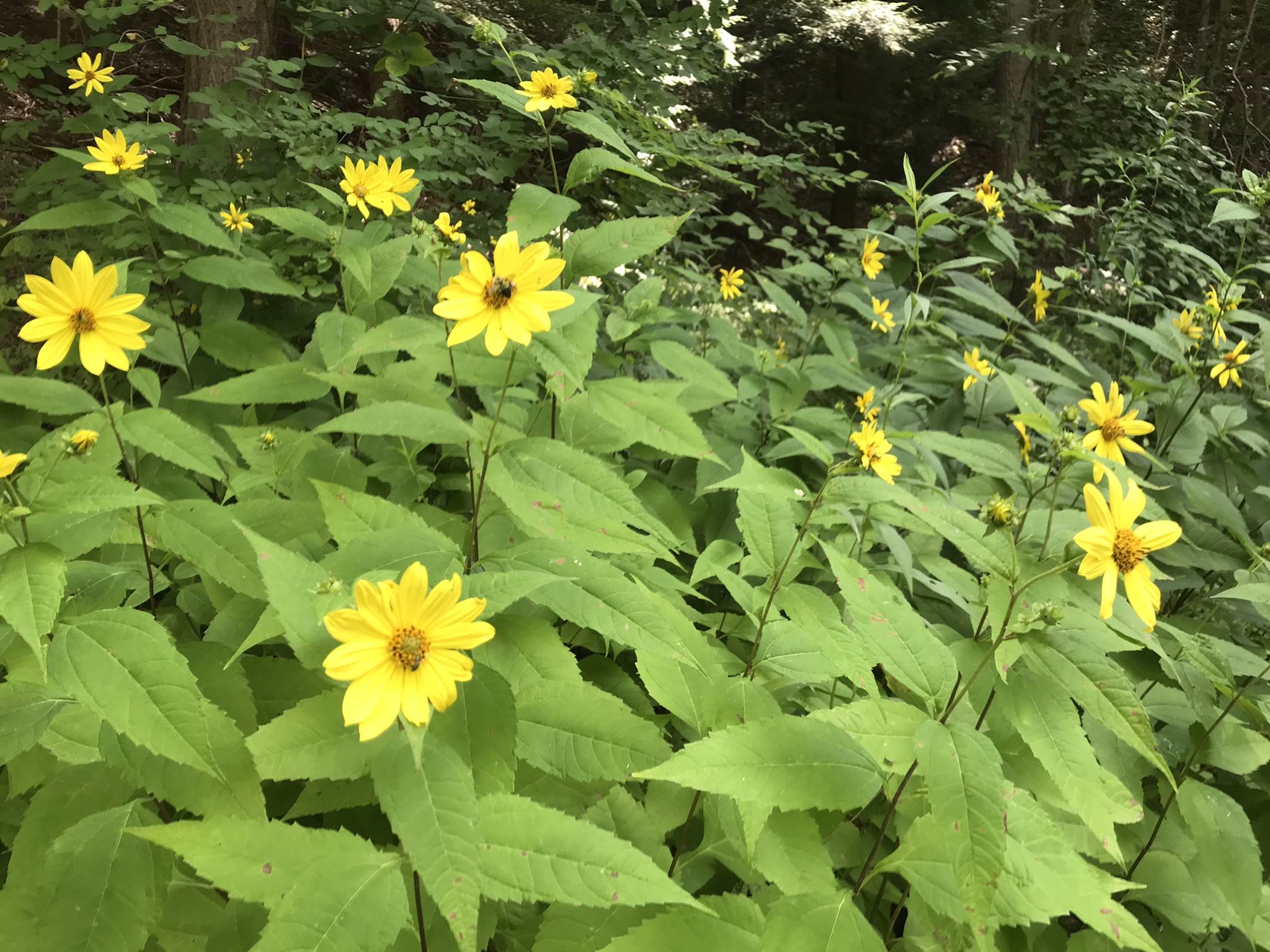
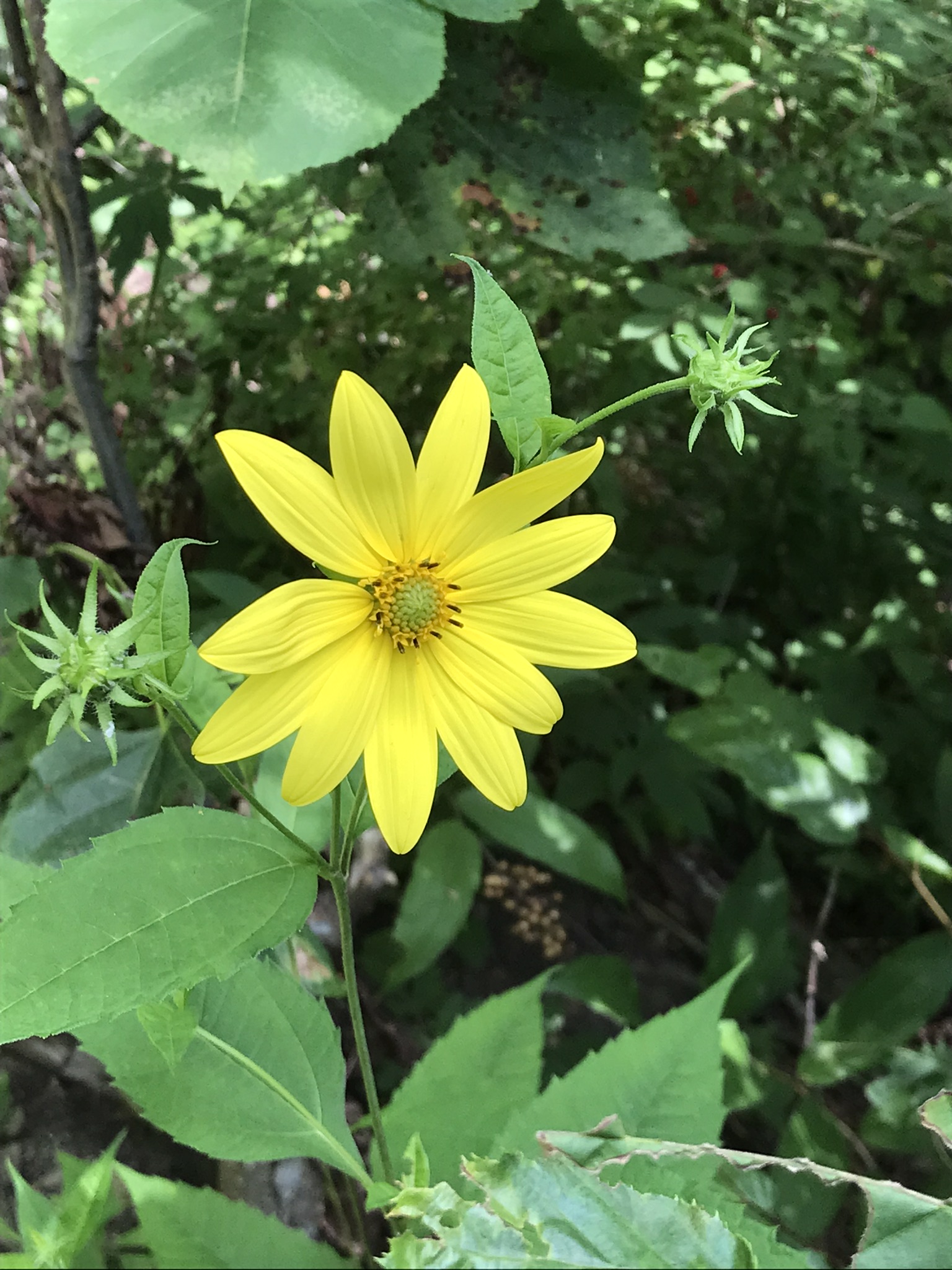
“Out in the meadow, I picked a wild sunflower, and as I looked into its golden heart, such a wave of homesickness came over me that I almost wept. I wanted Mother, with her gentle voice and quiet firmness; I longed to hear Father’s jolly songs and to see his twinkling blue eyes; I was lonesome for the sister with whom I used to play in the meadow picking daisies and wild sunflowers.”
from “Laura Ingalls Wilder, Farm Journalist, Writings from the Ozarks” edited by Stephen W. Hines”
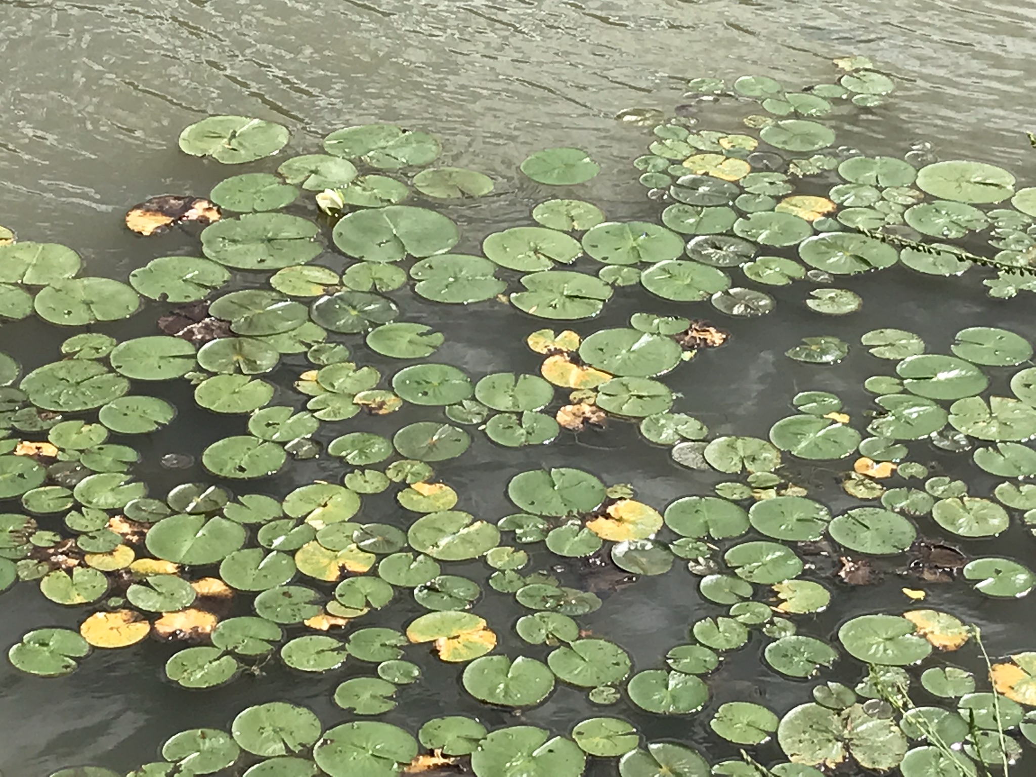
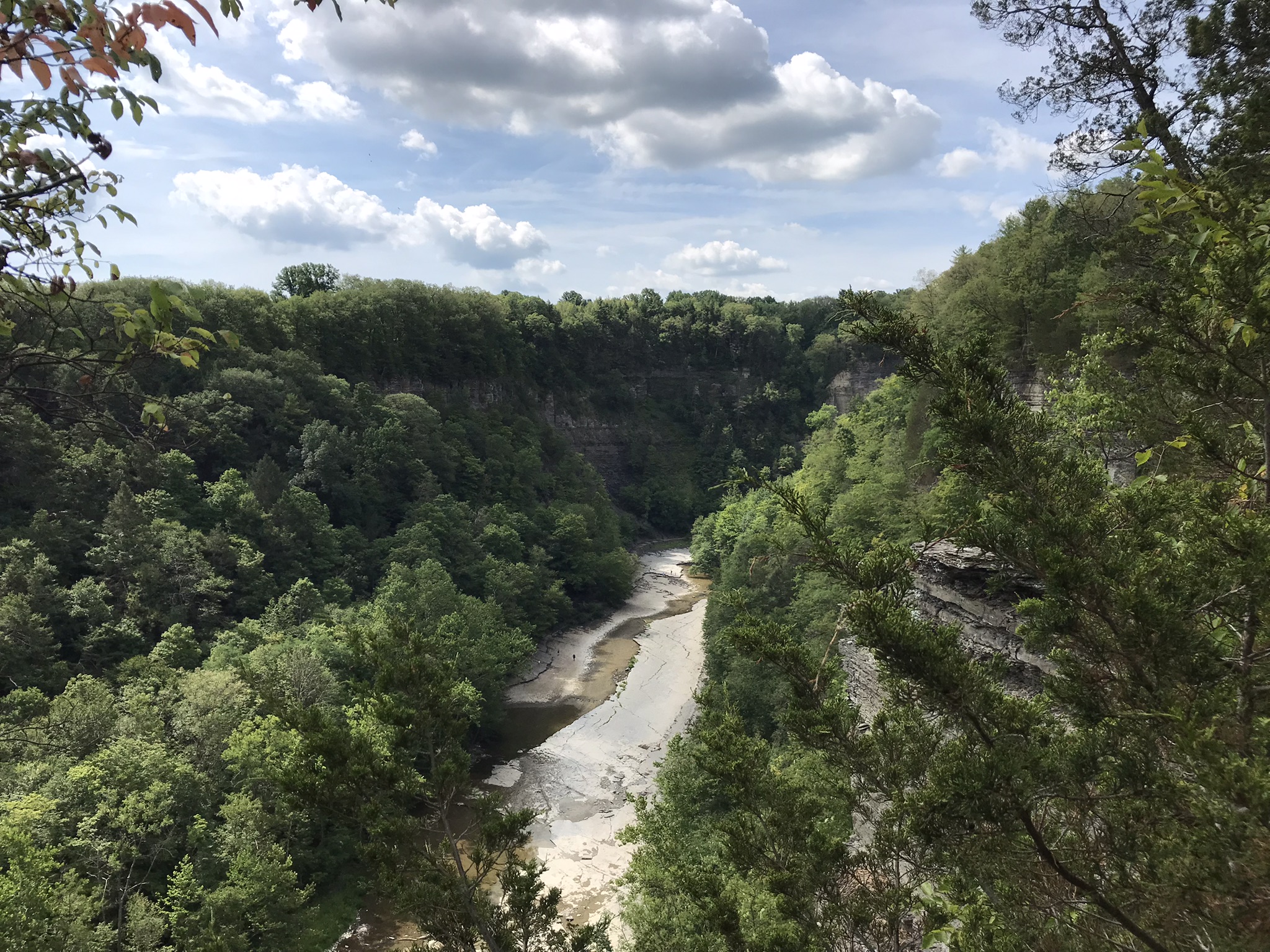
Trail sign at starting pointBeebee LakeLily Pads flowering on the north side of Beebee LakeFall Creek Gorge flooded by Beebee Lake dam
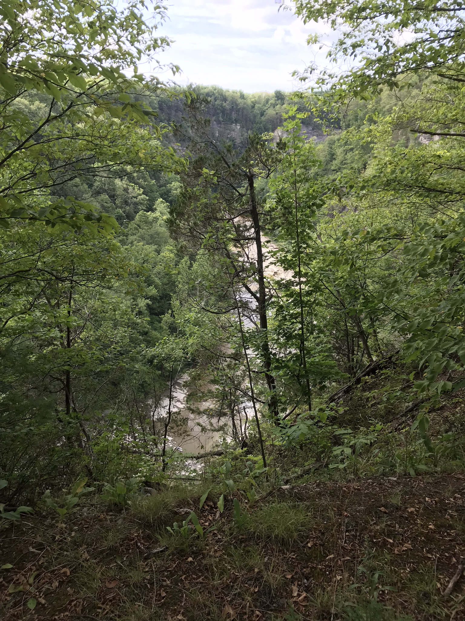
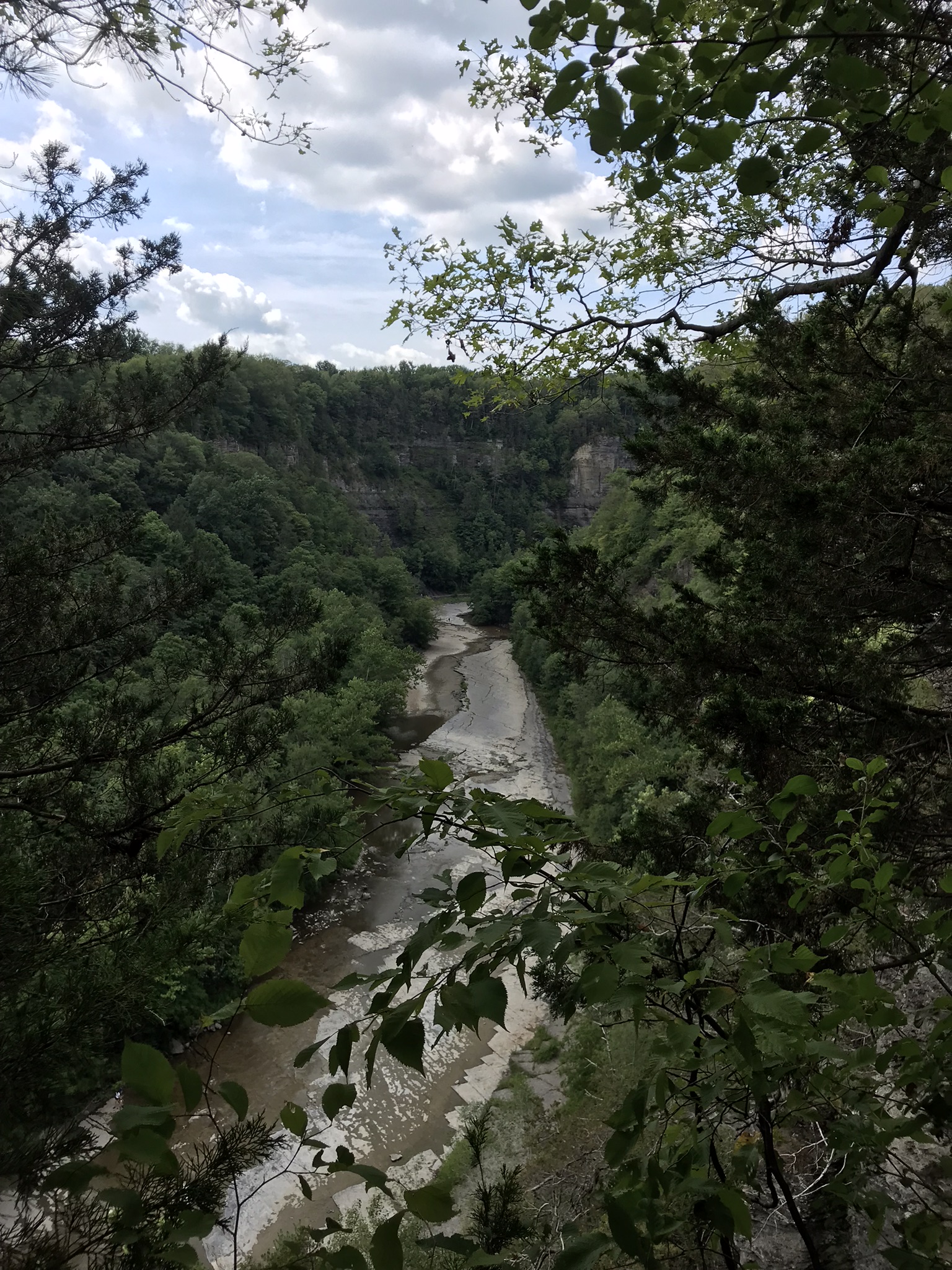
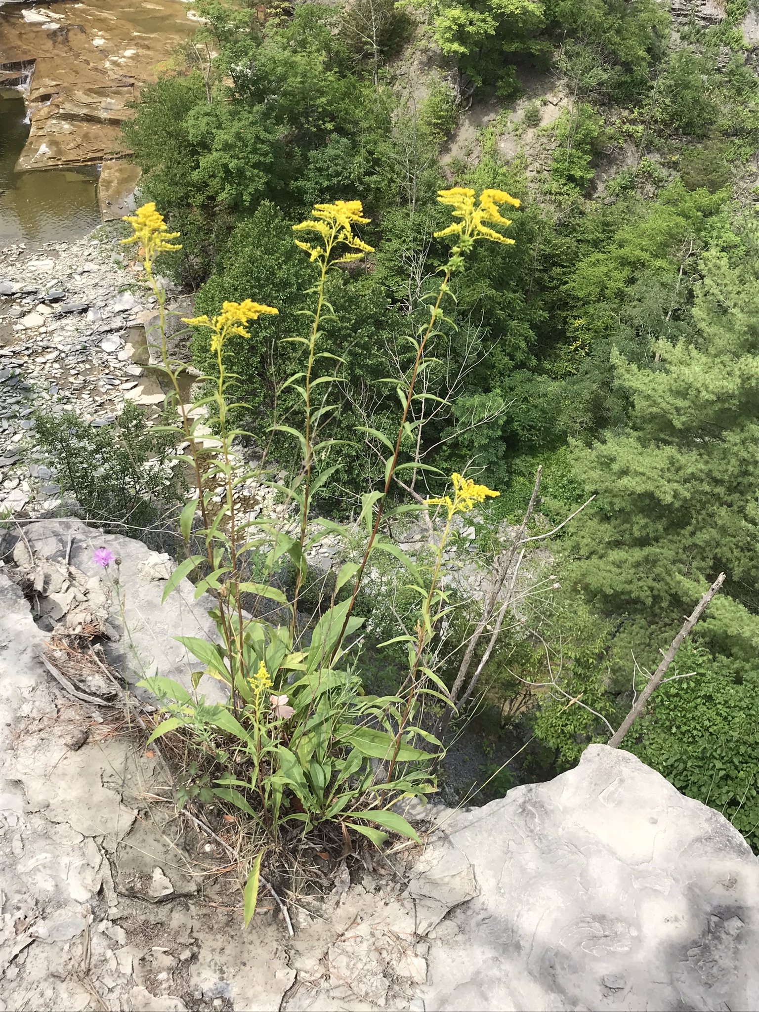
Taughannock Falls
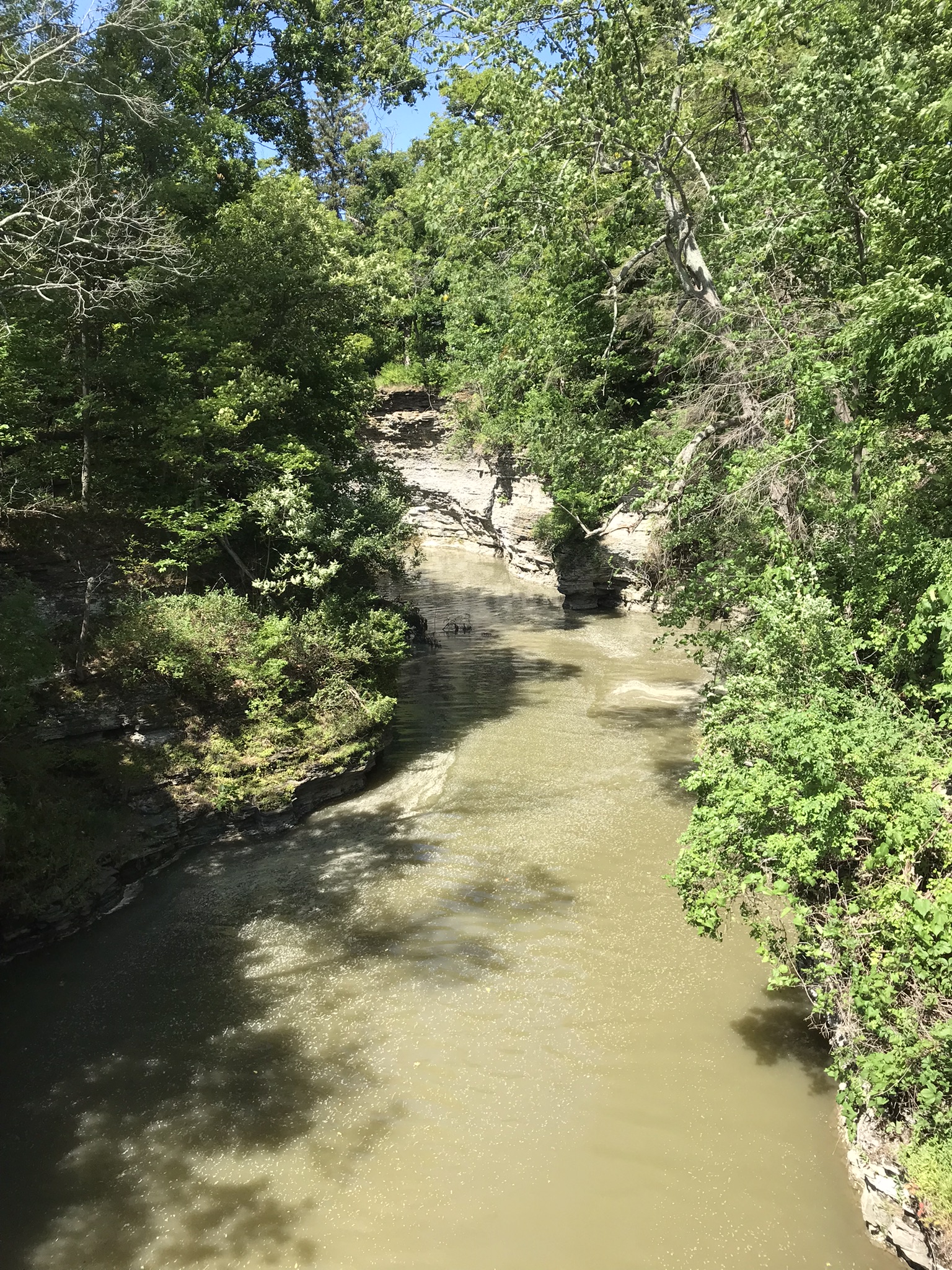
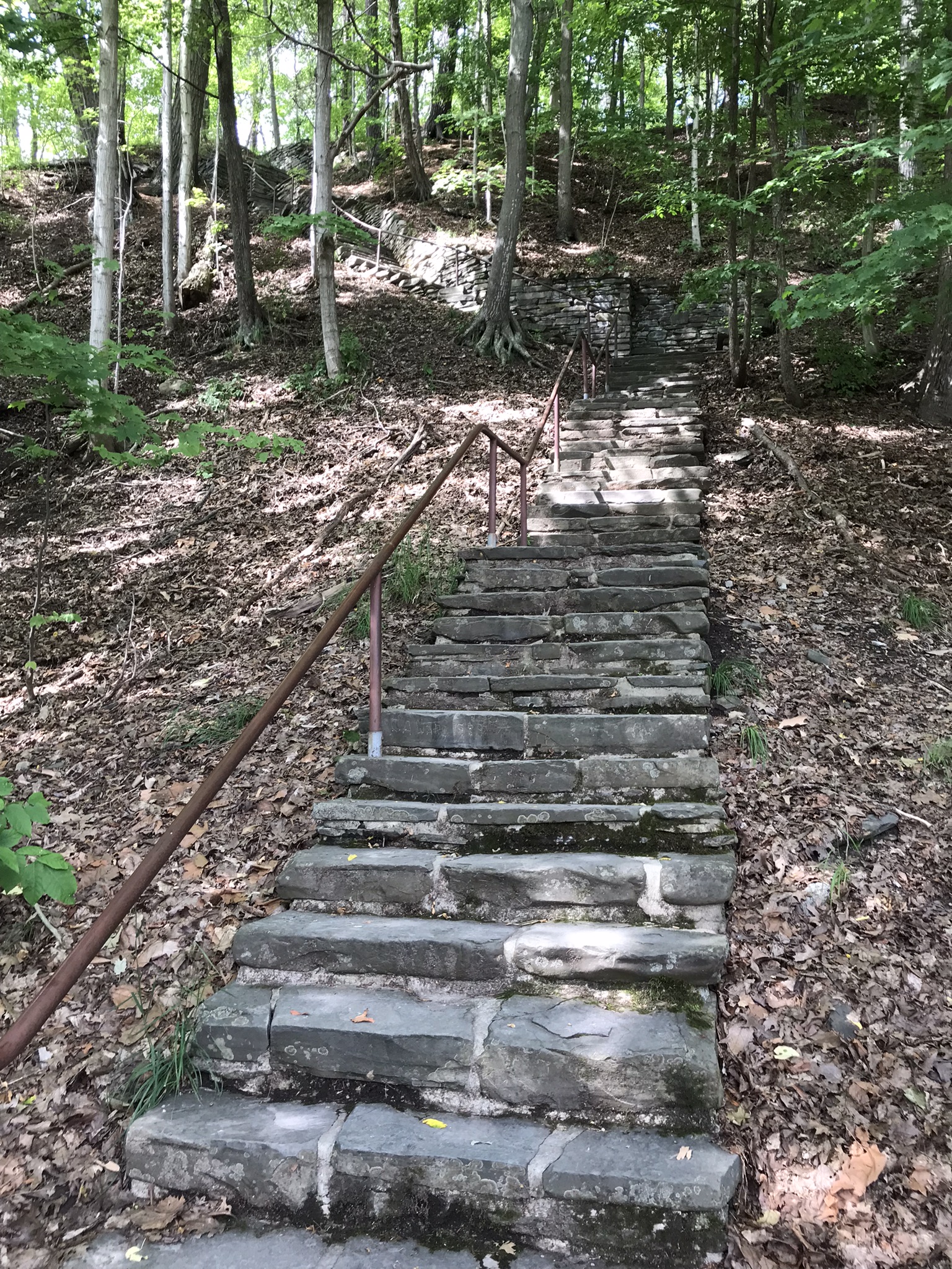
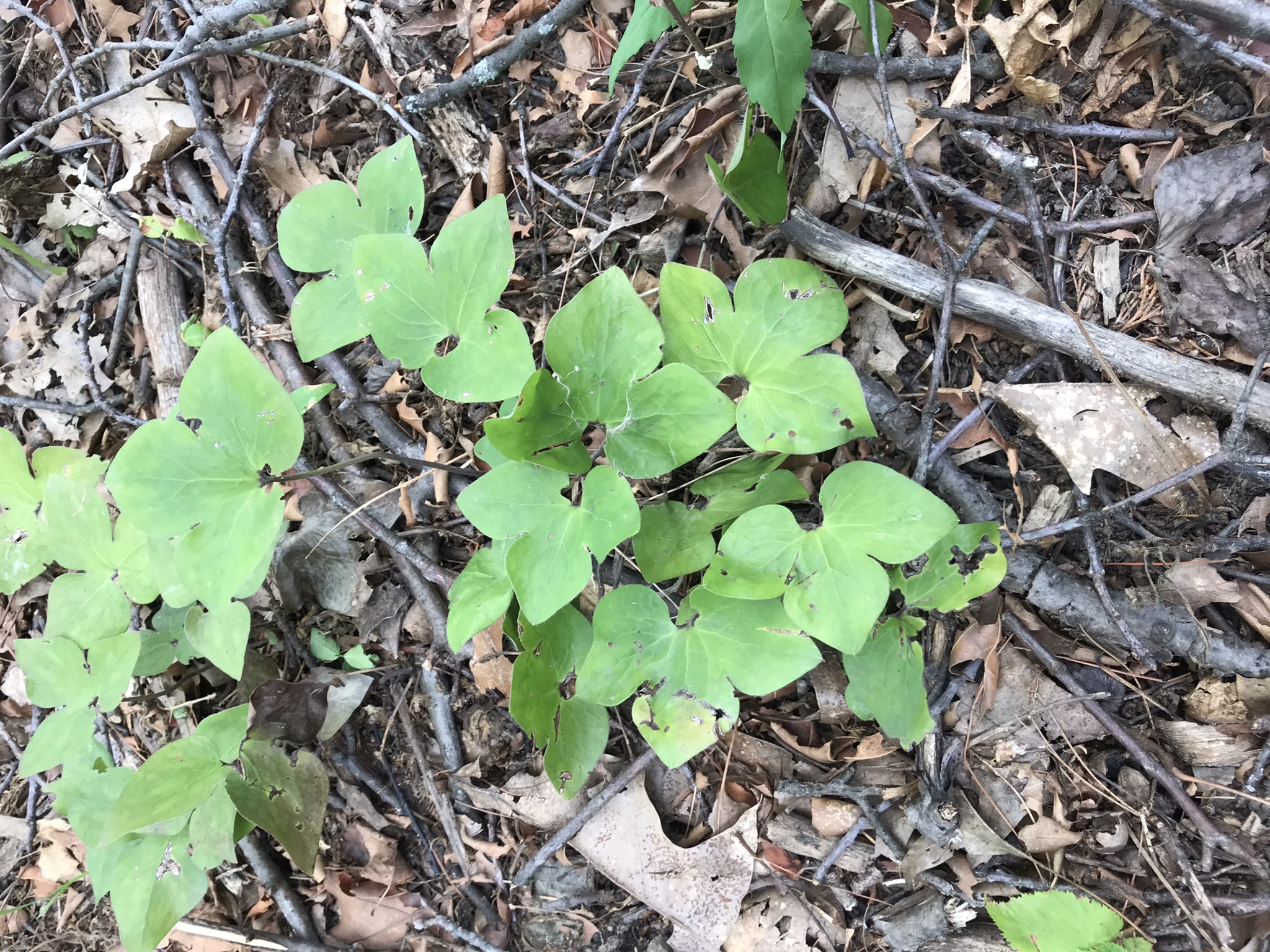
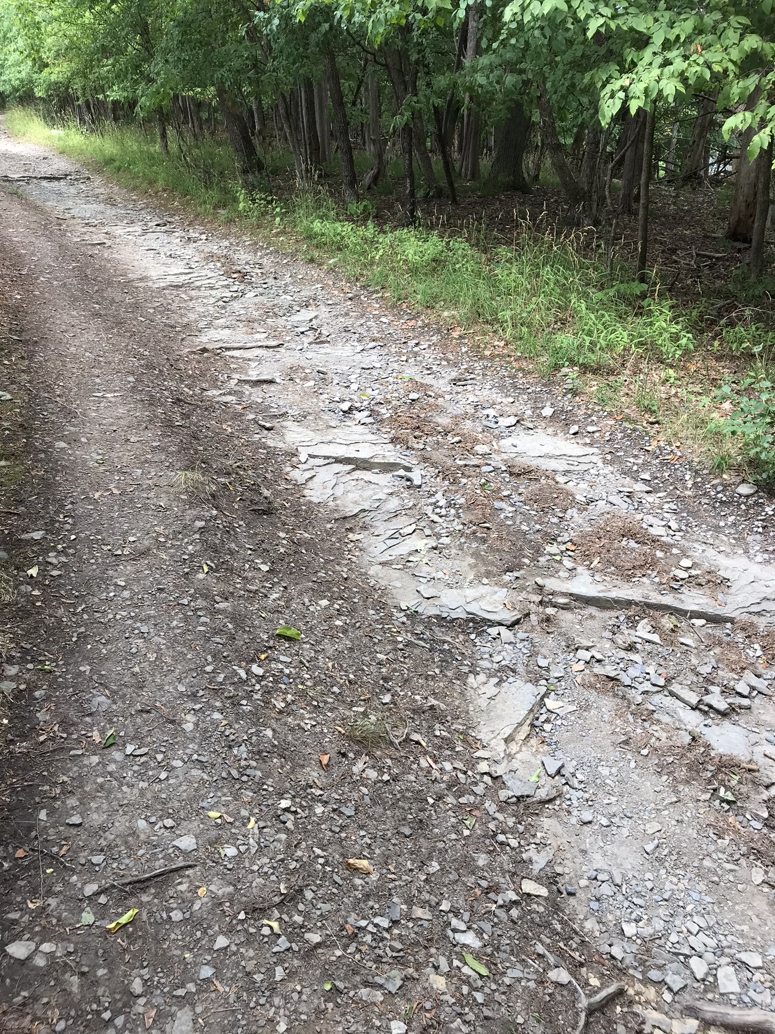
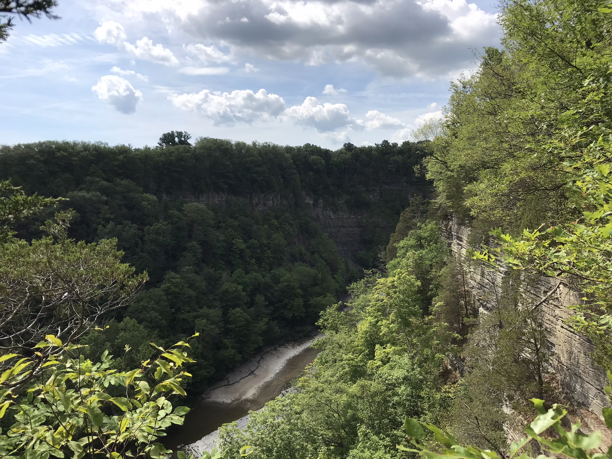
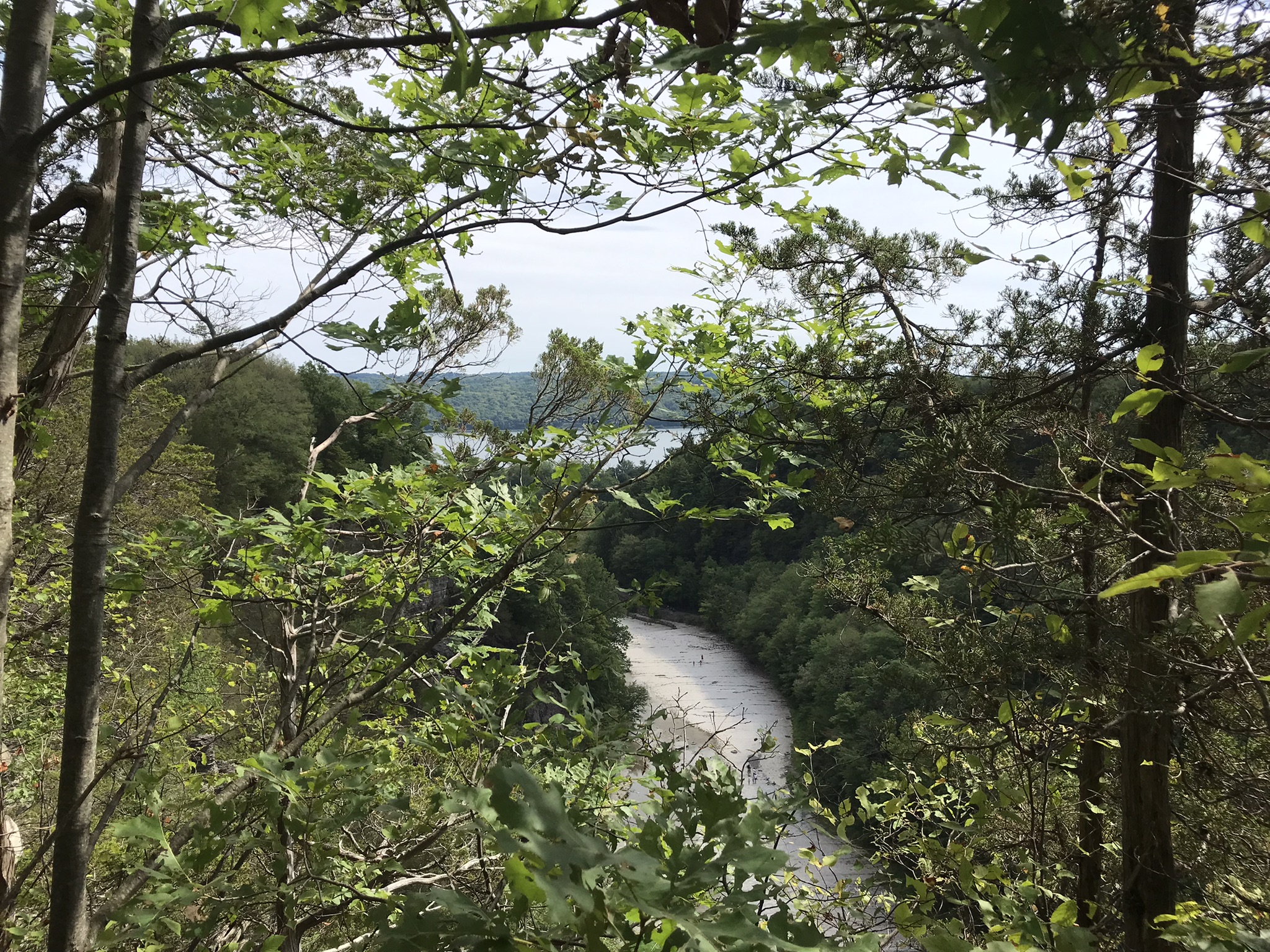
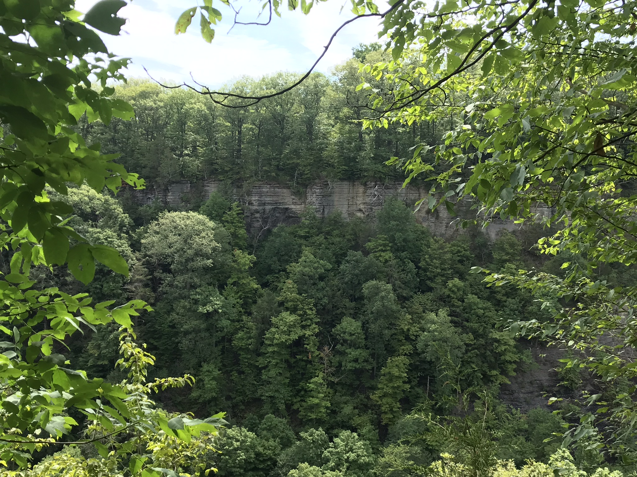
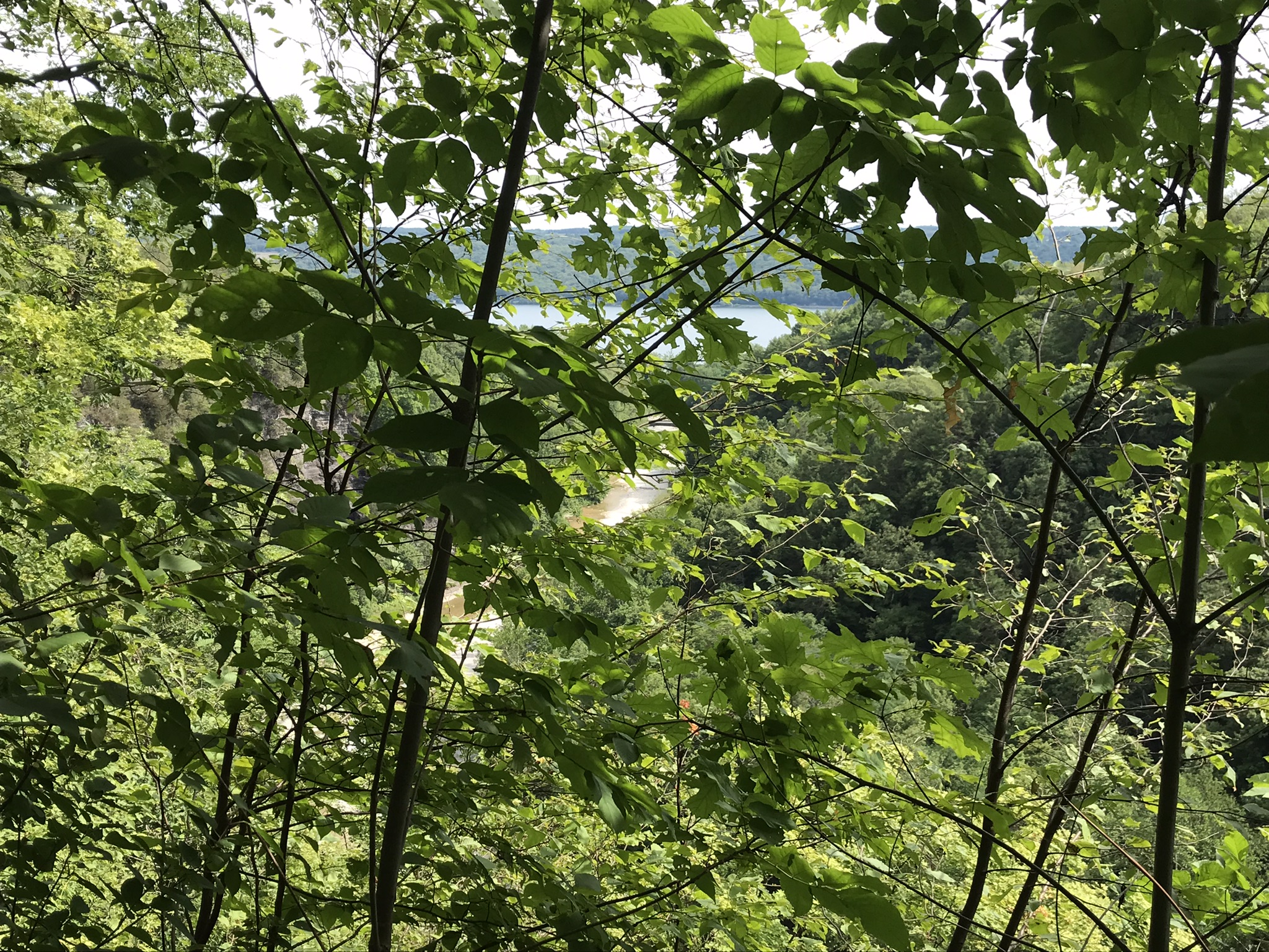
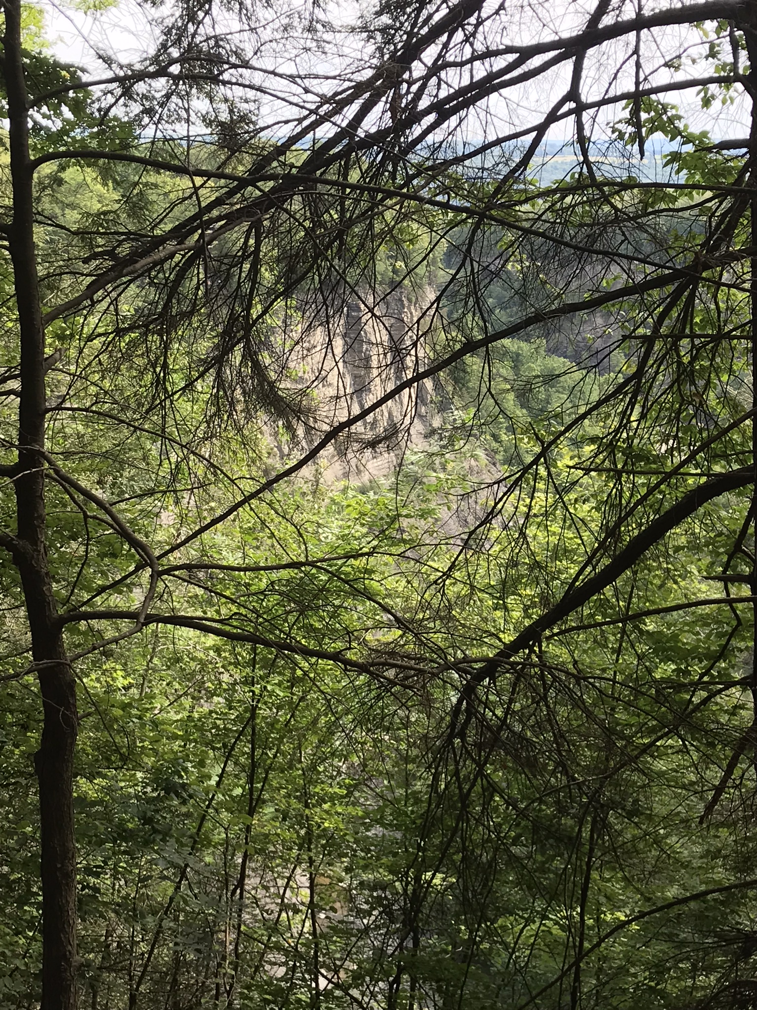
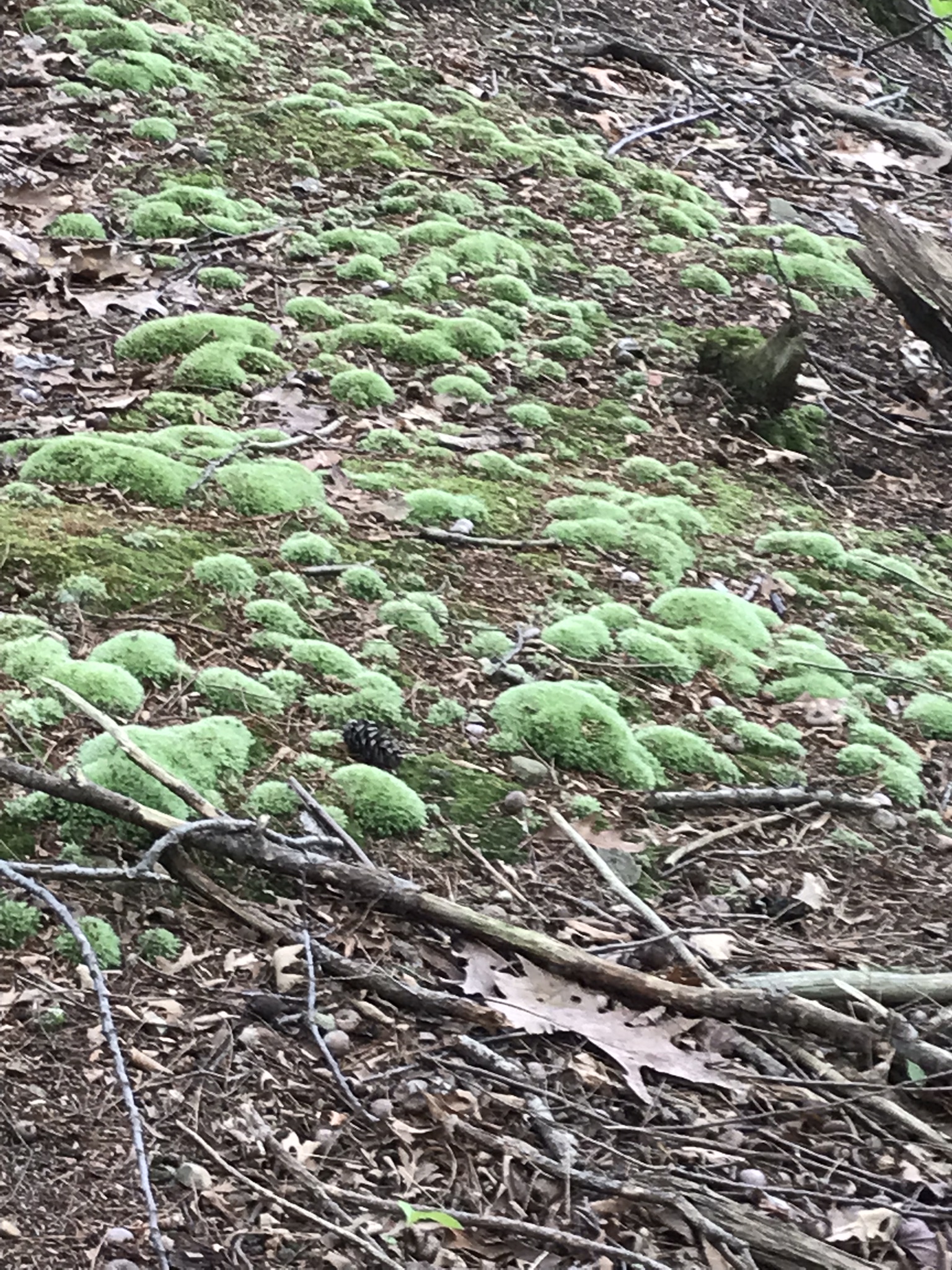
Stairs to North Rim from Cayuga Lake shoreuphill all the wayfirst view pointsecond view pointHepatica leavestrail erosionthird view pointfourth view point, northfourth view point, south with Cayuga Lake in distancefifth view point, east with only the south gorge rim visiblefifth view point, south wiht distant view of Cayuga Lakelooking into the gorge just below the fallssouth rim trail, looking into the upper gorge with native plantsmoss looking into the gorgeVultures perched on gorge walls above and around Taughannock Falls
Buttermilk Falls, upper
Jack in the Pulpit with spent flowerTreman Lake
A quiet moment……
Copyright 2022, Michael Stephen Wills All Rights Reserved
Friday last Pam and I joined a “James Potorti Memorial Gorge Walk” through Buttermilk Falls State Park where we learned interesting facts connected to one of my most successful photographs, “Summer Dream: Buttermilk Falls.” This is the fifth and final post of this series.
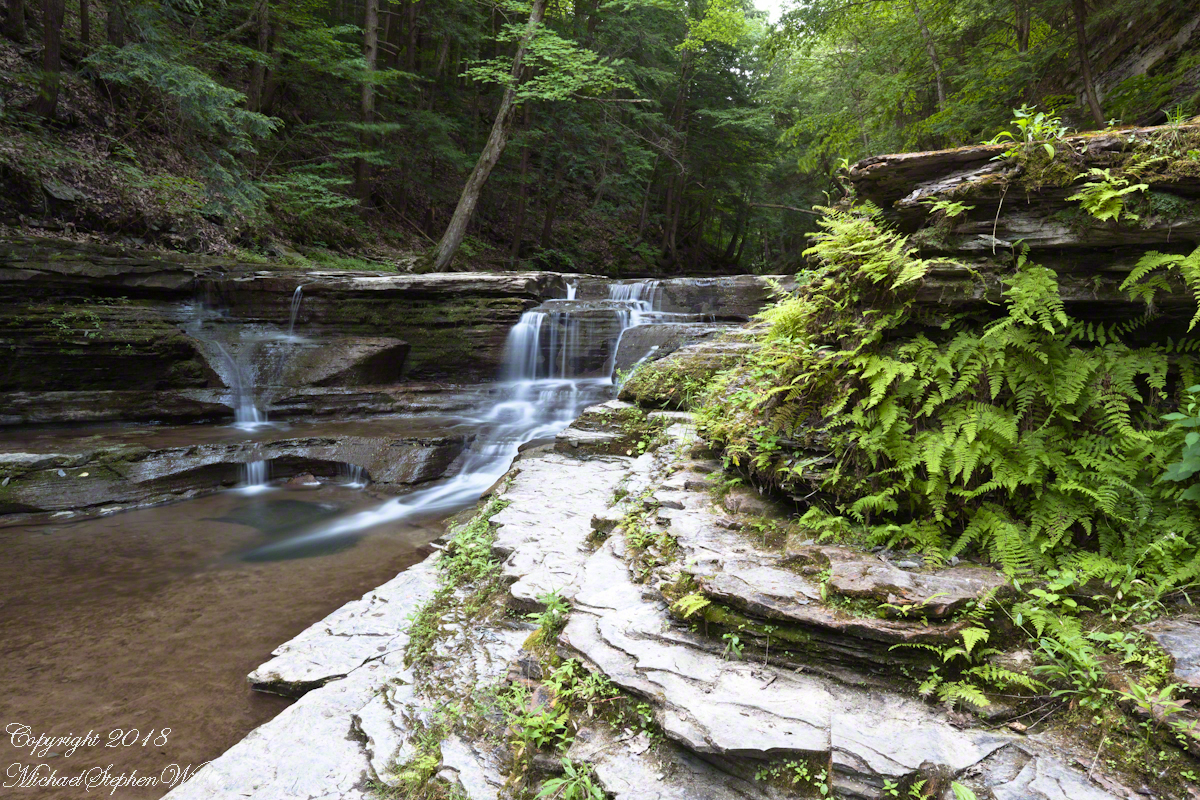
Final Photograph of my “Creek Views” post — not waterfall in distance
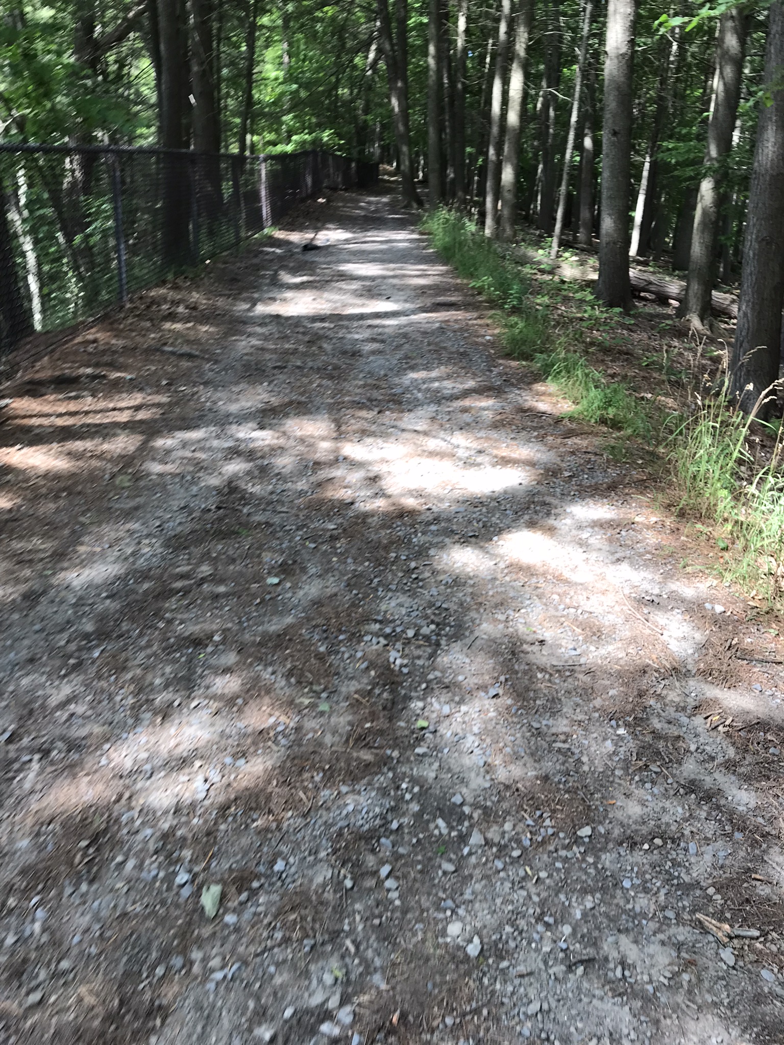
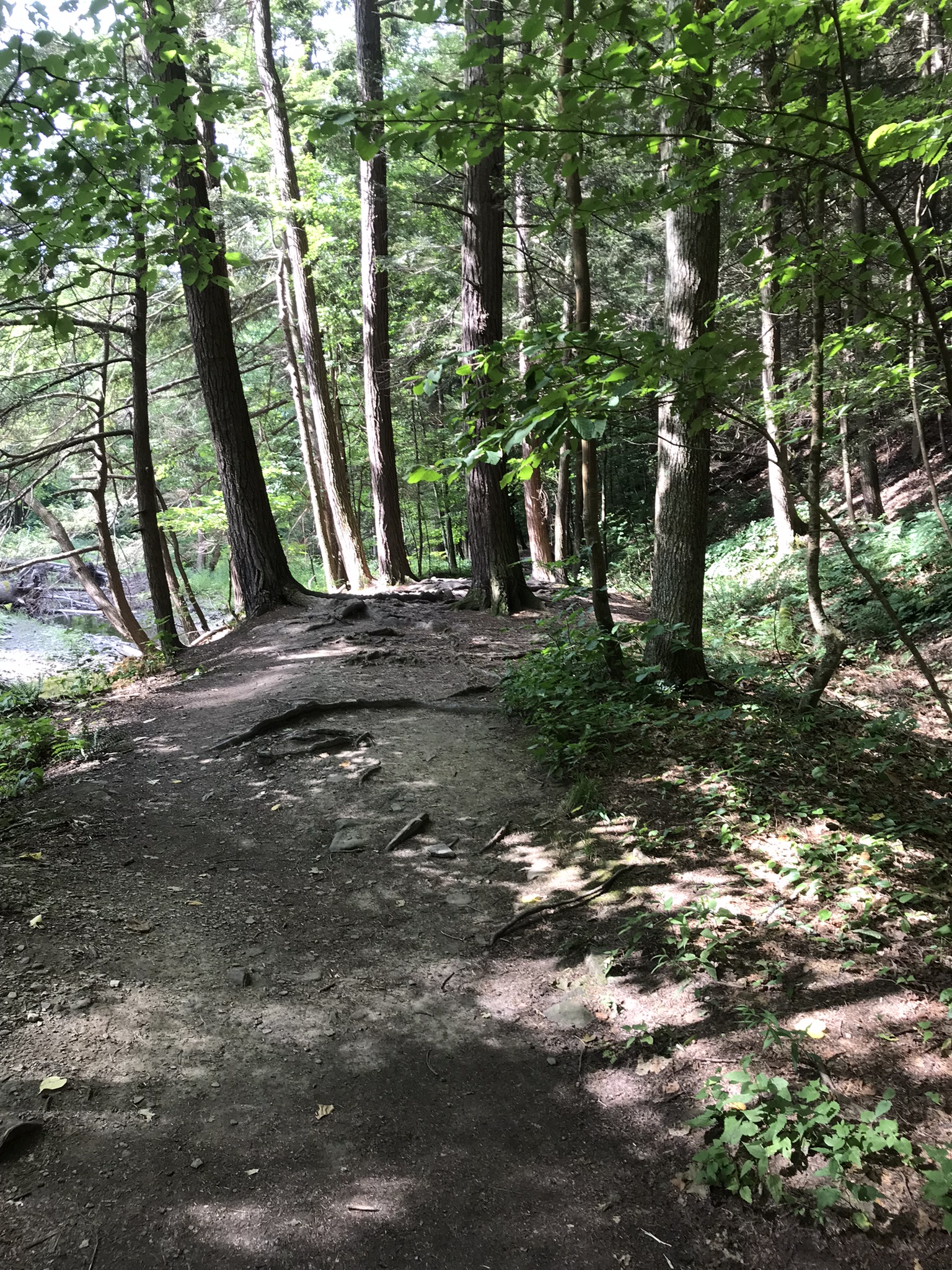
Upper Buttermilk Gorge Trail
Below is a photograph of that distant waterfall. Taken using a tripod mounted Canon EOS 1DS Mark III body with the Canon lens EF 24mm f/1.4L II USM w/a neutral density filter (0.6 as I recall) it is from an early morning solo walk, July 2018.
A characteristic of Finger Lakes Gorges is a constant infall from fragile sedimentary walls. Tree roots hold the slopes in place until the inevitable slippage. Tree trunks bear the mark, as you can see from tree to the right of the steps. Slippage moves the trunk horizontal, subsequent growth toward the sun curves the trunk. In extreme cases the tree forms the shape of an umbrella handle.
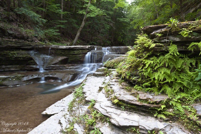
More examples of this slippage are seen on the right creek bank in the following photograph from my post of this series, “Creek Views.”
More curved trees
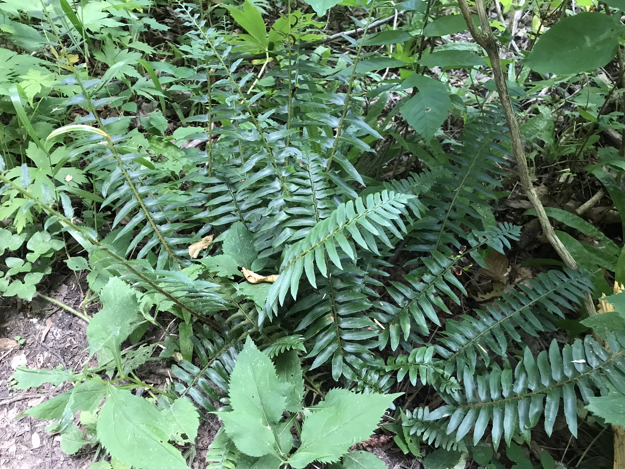
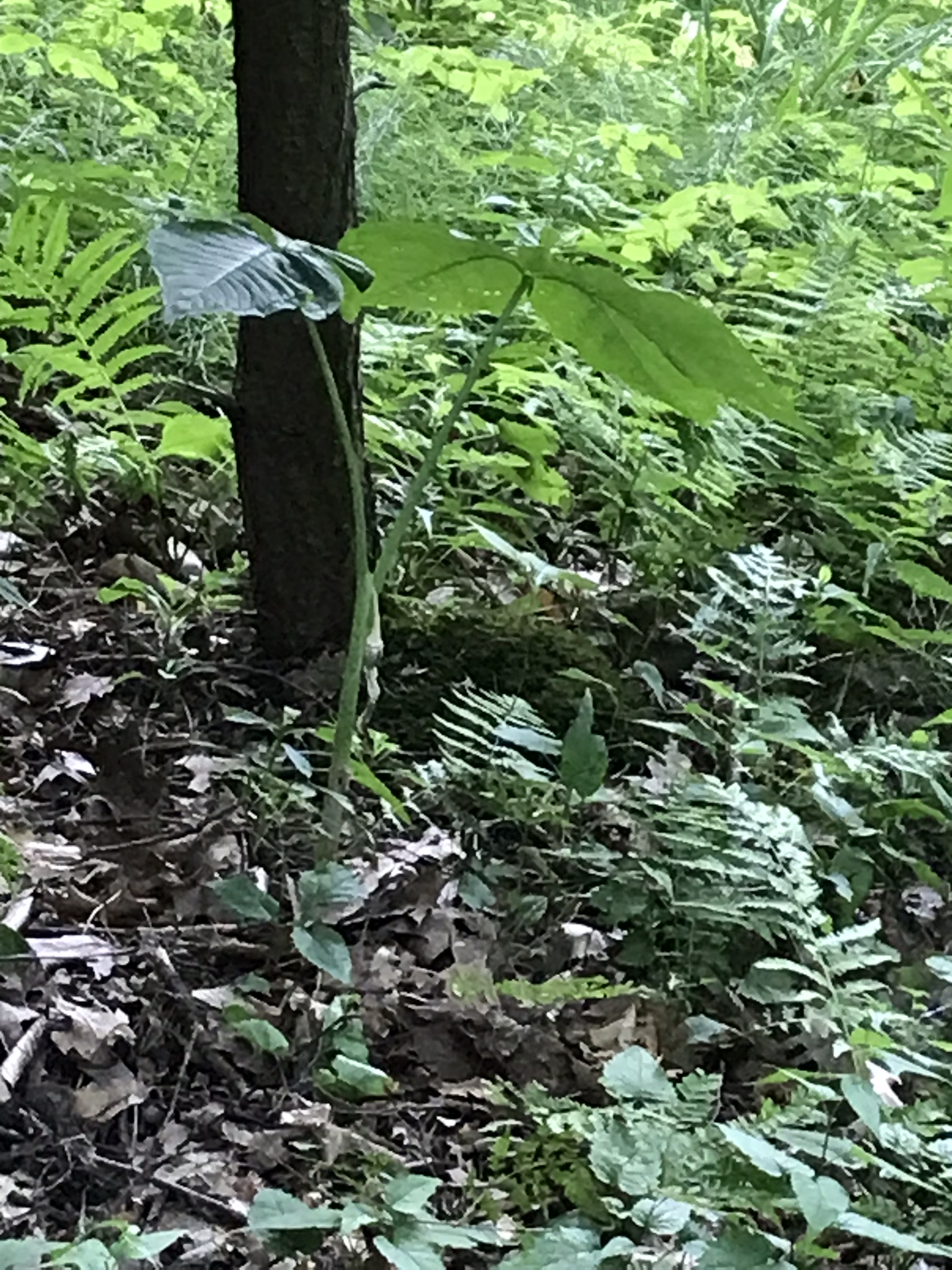
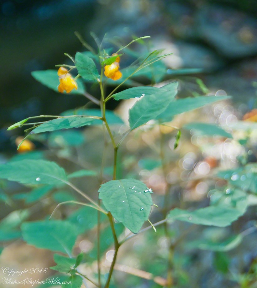
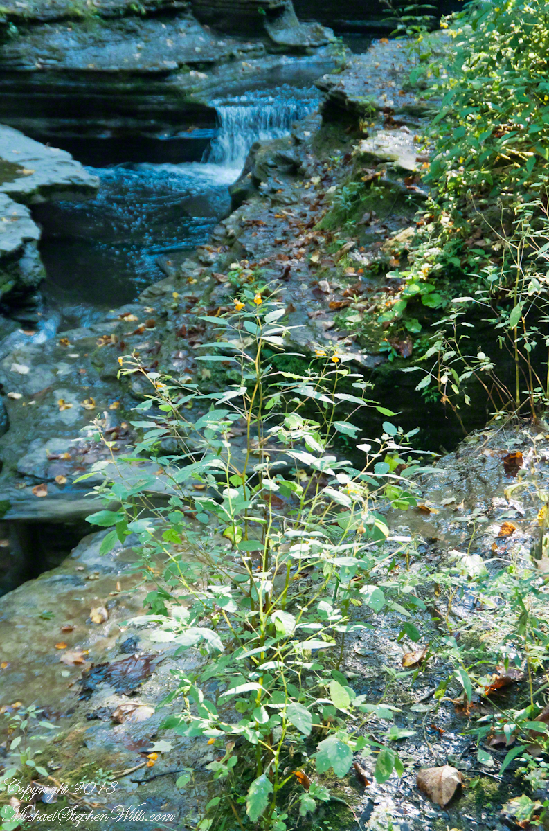
Impatiens capensis
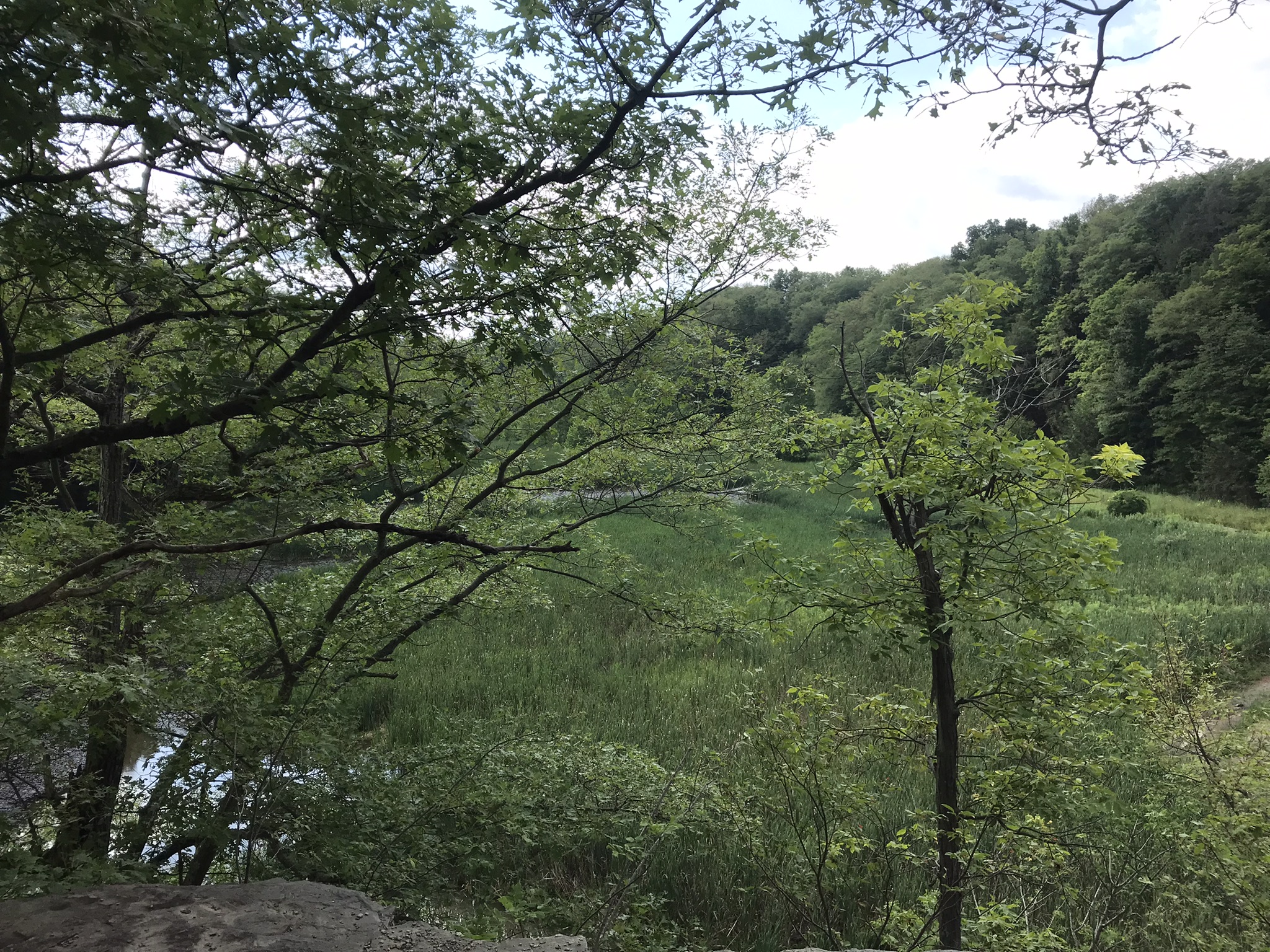
Emerging from the gorge, soil accumulates on narrow shelves where this Jewelweed plant grows. Here we leave the gorge for now.
(Impatiens capensis) growing along the upper portion of the Buttermilk Sate Park Gorge Trail in early September, just after Labor Day. This photograph shows the plant growth pattern and the surrounding environment.(Impatiens capensis) growing along the upper portion of the Buttermilk Sate Park Gorge Trail in early September, just after Labor Day. This photograph shows the plant growth pattern and the surrounding environment.
In Memorium
James Potorti was a native of Ithaca who perished at 52 years of age in New York City on September 11, 2001 were he worked on the 96th floor of 1 World Trade Center.
Copyright 2022, Michael Stephen Wills All Rights Reserved
Friday last Pam and I joined a “James Potorti Memorial Gorge Walk” through Buttermilk Falls State Park where we learned interesting facts connected to one of my most successful photographs, “Summer Dream: Buttermilk Falls.” This is the fourth post of this series.
Starting Point
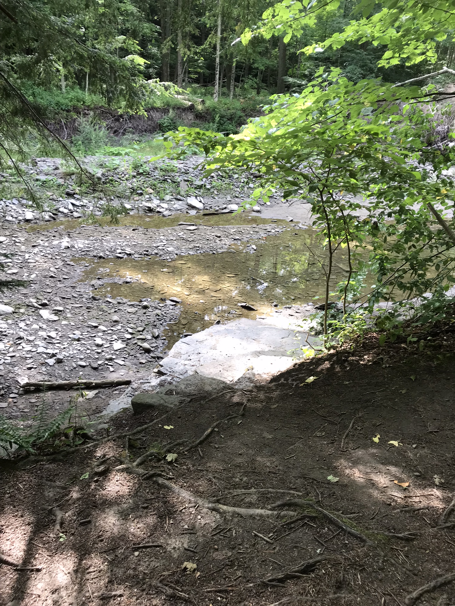
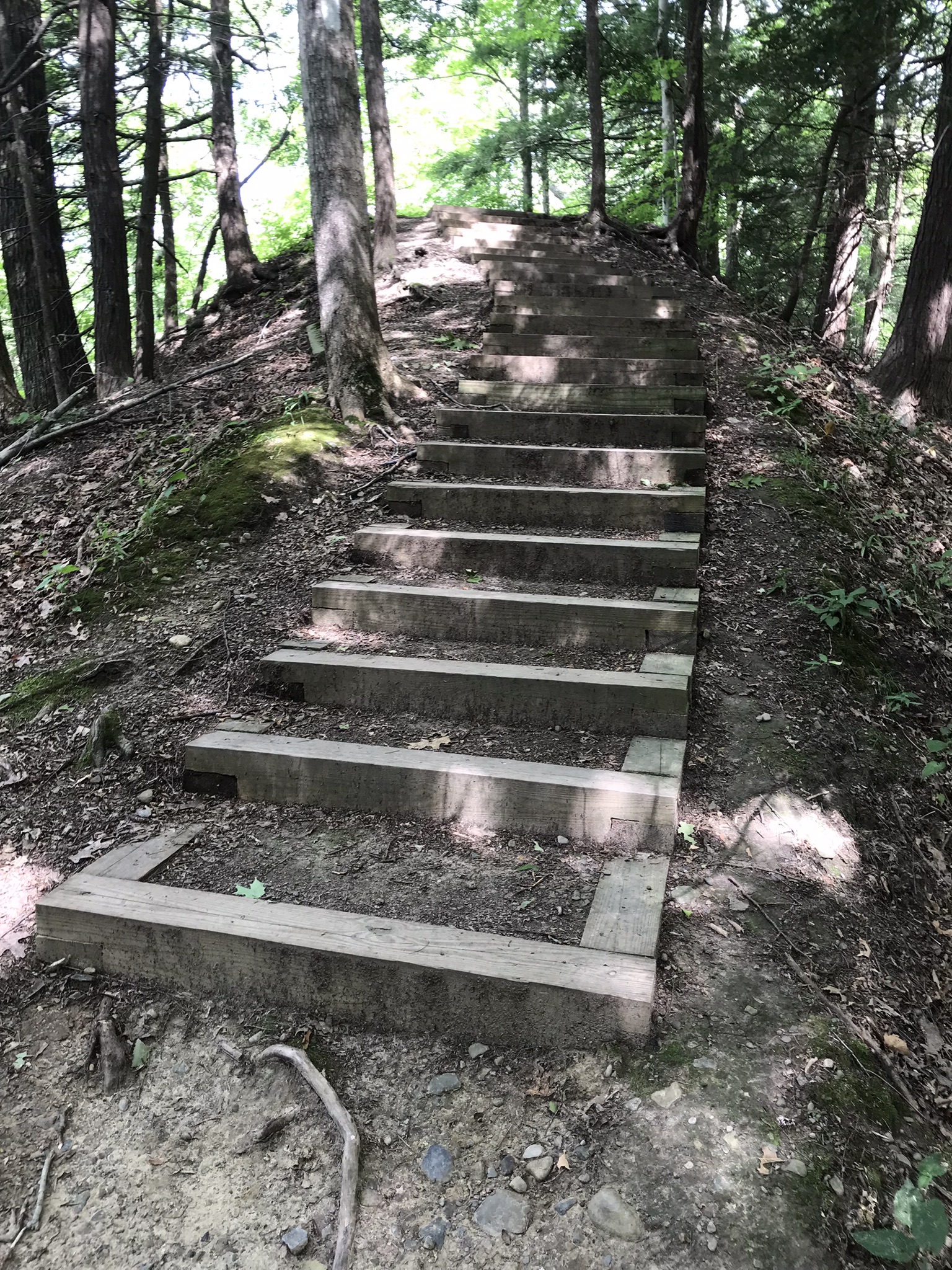
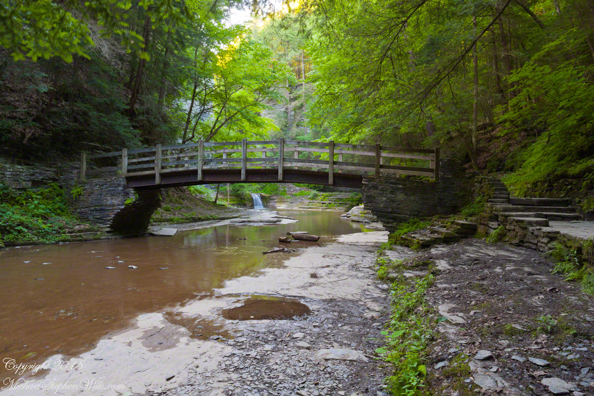
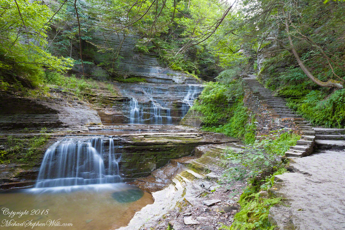
Buttermilk Falls State Park has two parks, upper and lower. Friday’s hike began at lower park. Using GoogleEarth I see the half mile trail along the lower gorge climbs 506 feet, 355 feet of this is ascended in 300 steps in the first quarter mile. Here is a view of the magnificent cascade that greets lower park visitors.
To my knowledge, nobody has ascended the creek bed at this point. The climb is not impossible, people with technical rock climbing skills and equipment can do it. We use the trail. Most often, Pam and I visit the upper park and walk down the gorge to the top of this ascent. Friday, we walk up with everyone else.
Creek Level Photographs
On a July morning 2018 I walked Buttermilk Creek from the scene of my “Summer Dream: Buttermilk Falls”, up the steps on the right of that photograph to where the water flows across a flat expanse of stone. The following three photographs from that walk were taken using a tripod mounted Canon EOS 1DS Mark III body with the Canon lens EF 24mm f/1.4L II USM w/a neutral density filter (0.6 as I recall).
Click any photograph for a larger view.
Natural steps
Low Flow
The “secret” behind my successful “Summer Dream: Buttermilk Falls” photograph is waiting for a seasonal low creek flow. For the same reason, this is a safe time to walk this part of the creek to capture the scene. See the previous post, “Walking Buttermilk Creek”, for the entry to this creek level walk. Attempting to walk the creek in other seasons can be fatal….there is a plaque along the trail memorializing an attempted rescue during a March flood where two people died: the rescued and the rescuer.
At high water the creek gouged a channel through the limestone creek bed
James Potorti was a native of Ithaca who perished at 52 years of age in New York City on September 11, 2001 were he worked on the 96th floor of 1 World Trade Center.
Copyright 2022, Michael Stephen Wills All Rights Reserved
Friday last Pam and I joined a “James Potorti Memorial Gorge Walk” through Buttermilk Falls State Park where we learned interesting facts connected to one of my most successful photographs, “Summer Dream: Buttermilk Falls.” This is the third post of this series.
On the path vs. in the creek
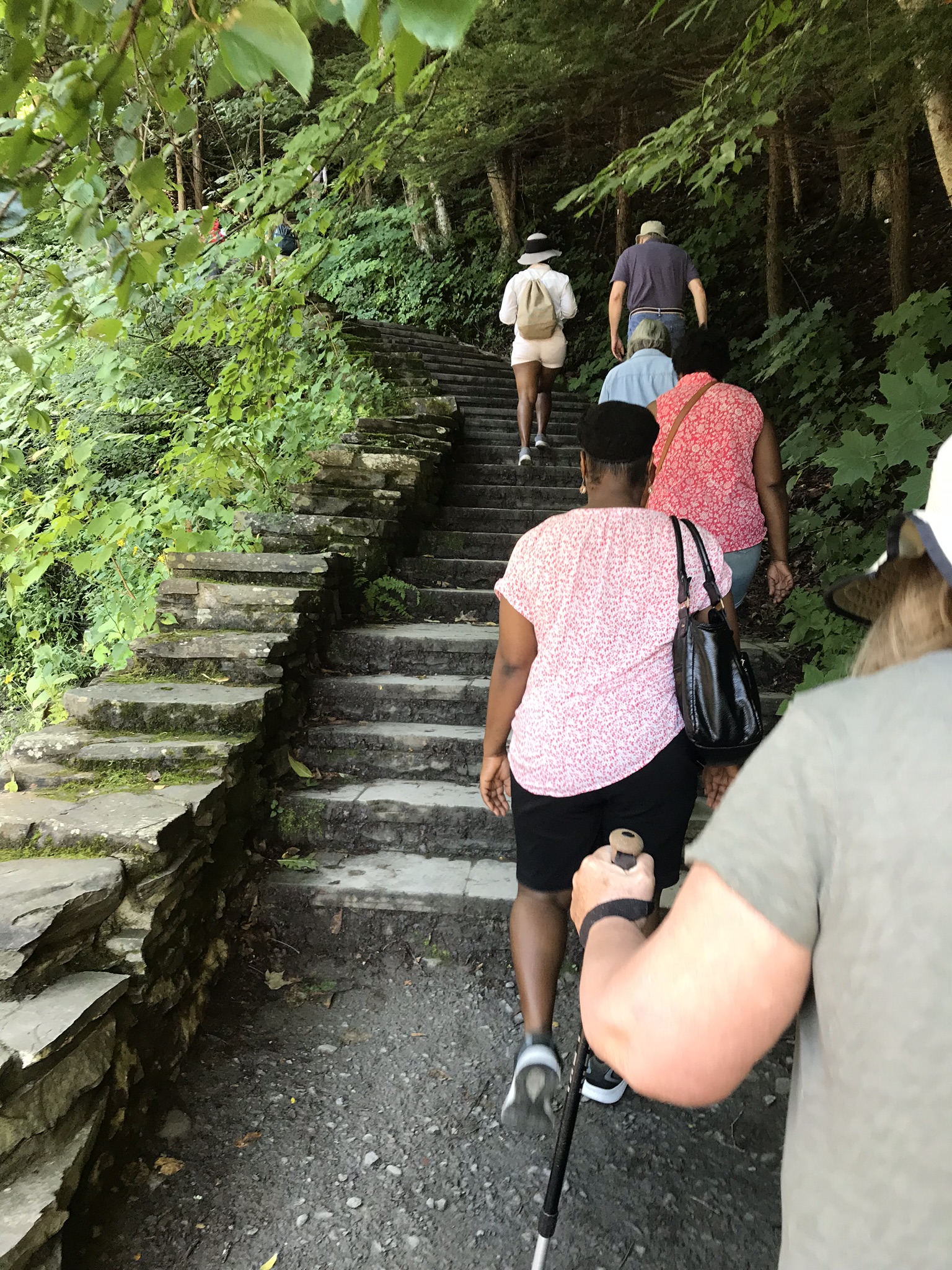
Friday’s hike began at the bottom, here we are at the start of the 400 foot climb, 300 steps, along cascading waterfalls.
Responsible Adults Staying on the path
Everyone stays on the path at this point, here is a video that demonstrates why.
Falls along the 300 step climb
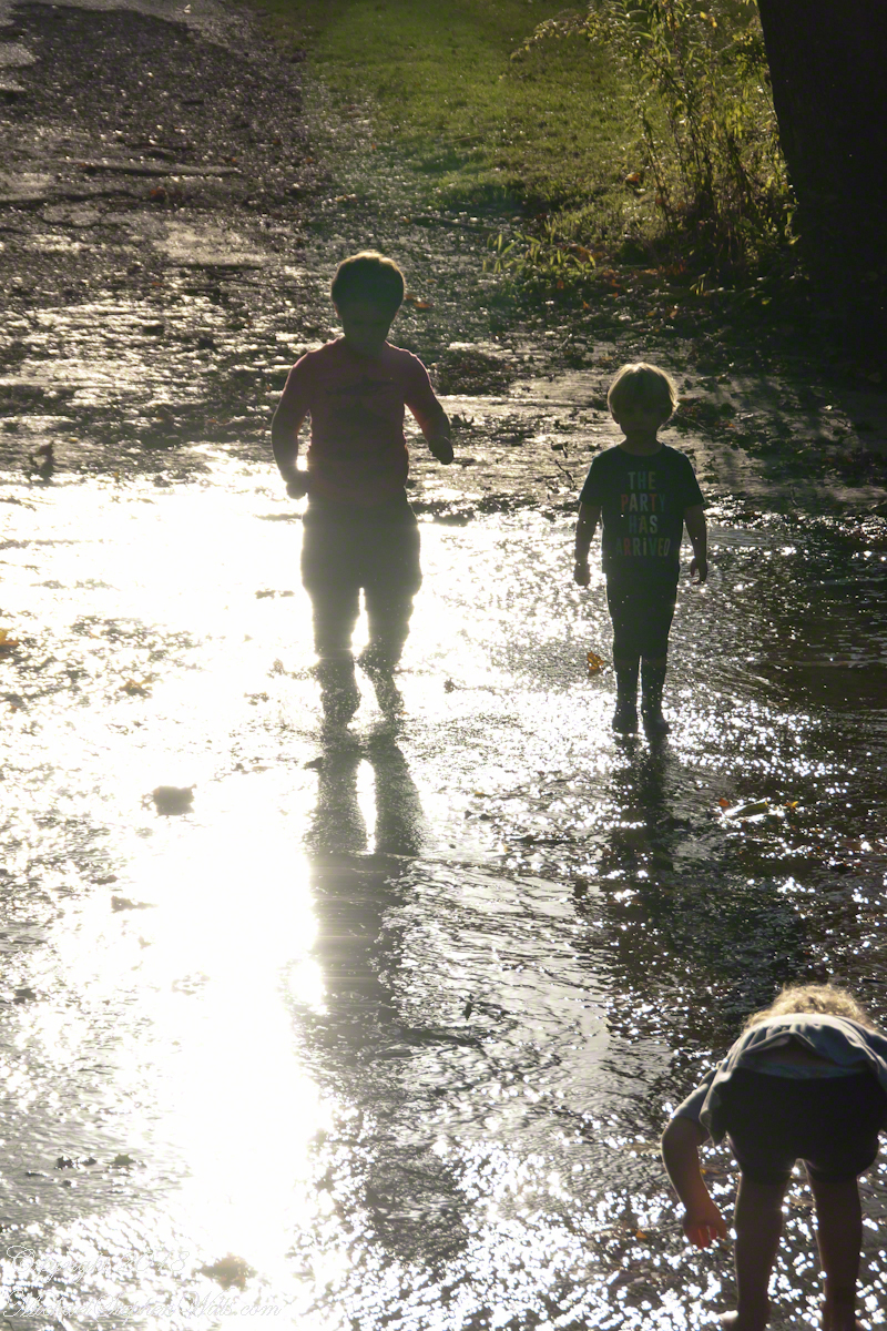
Hiking with the grandchildren we prefer the upper park, walking along the road to a place where the creek flows over the pavement. They love taking off shoes and jumping in.
Click any photograph for a larger view.
Children wading Buttermilk Creek, take note of the shirt, “The Party Has Arrived.”
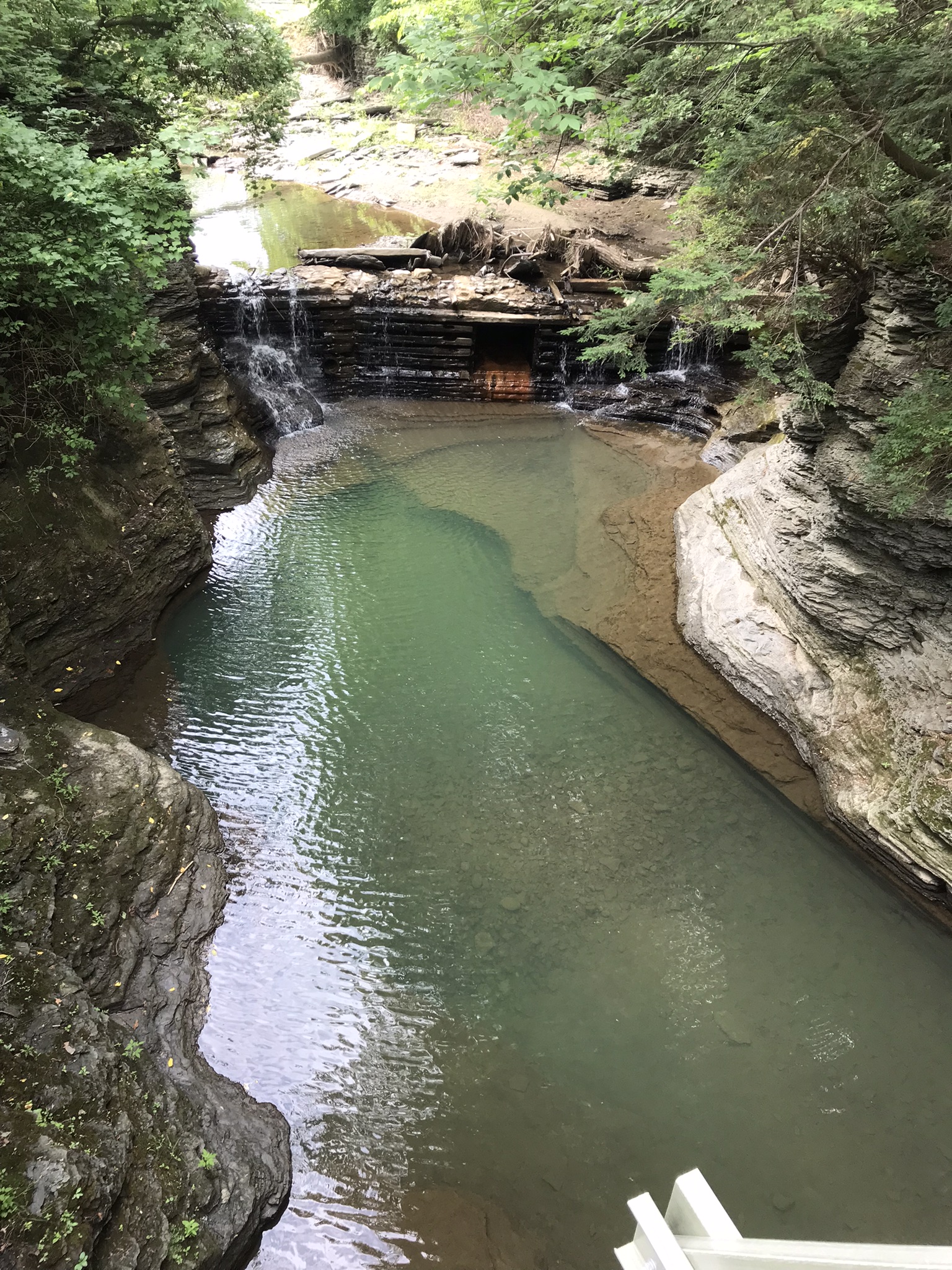
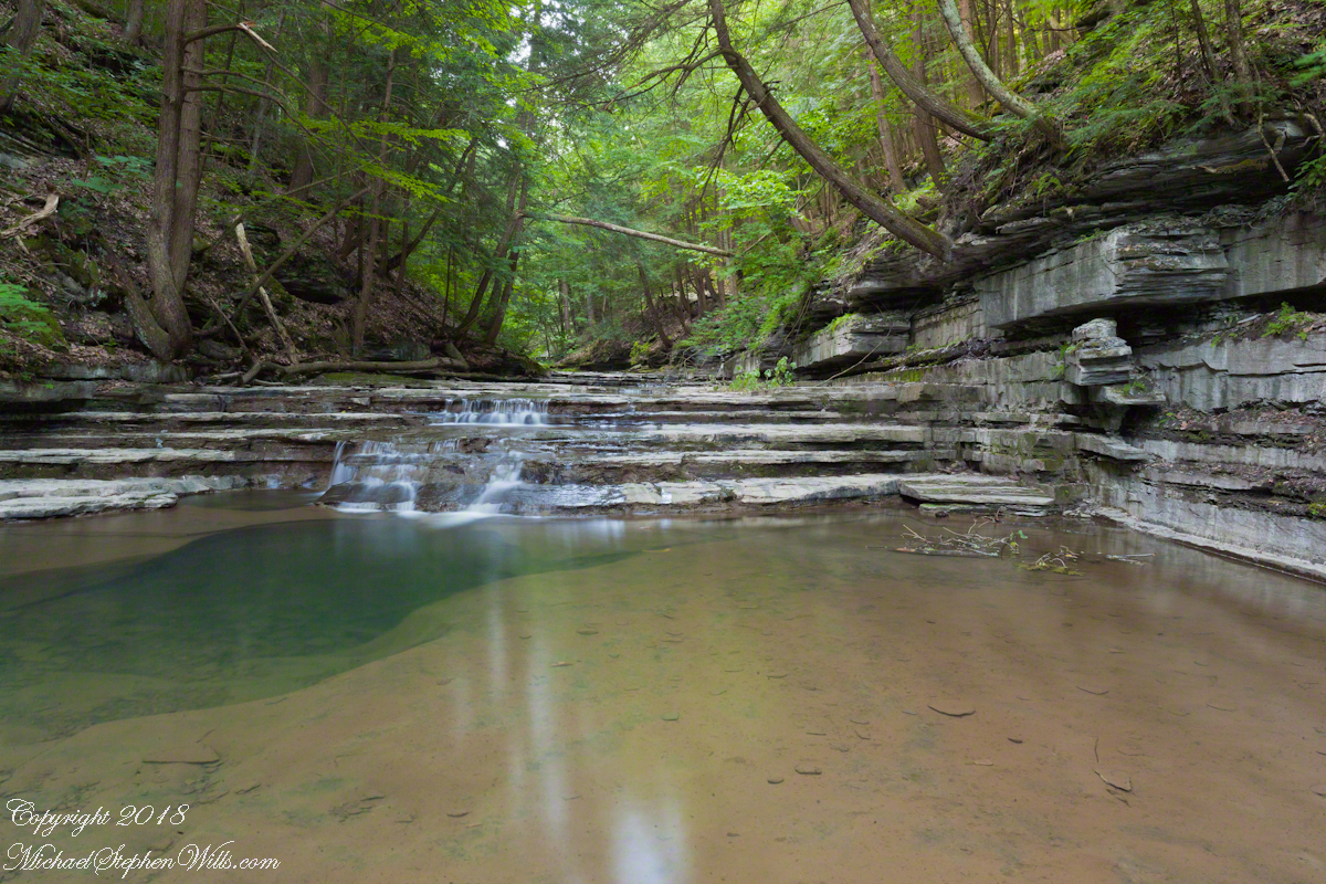
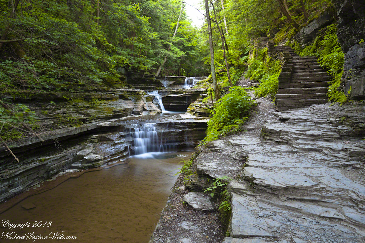
On a July morning 2018 I walked Buttermilk Creek from the scene of my “Summer Dream: Buttermilk Falls”, up the steps on the right of that photograph to where the water flows across a flat expanse of stone. This photograph from that walk was taken using a tripod mounted Canon EOS 1DS Mark III body with the Canon lens EF 24mm f/1.4L II USM w/a neutral density filter (0.6 as I recall).
Off the Path
Here is where the creek bed is flat enough to allow me to follow it when I wear waterproof boots. Note: it is against park rules to do this and the fines are steep, although some summer days it is a free-for-all of visitors in bathing suits, it looks like the beach. This session started shortly after sunrise, around 5:30 am at the best lighting, so there were no witnesses. When the sun shines over the gorge rim there are too many hot spots, the contrast between shadow and sunlight is too distracting.
In Memorium
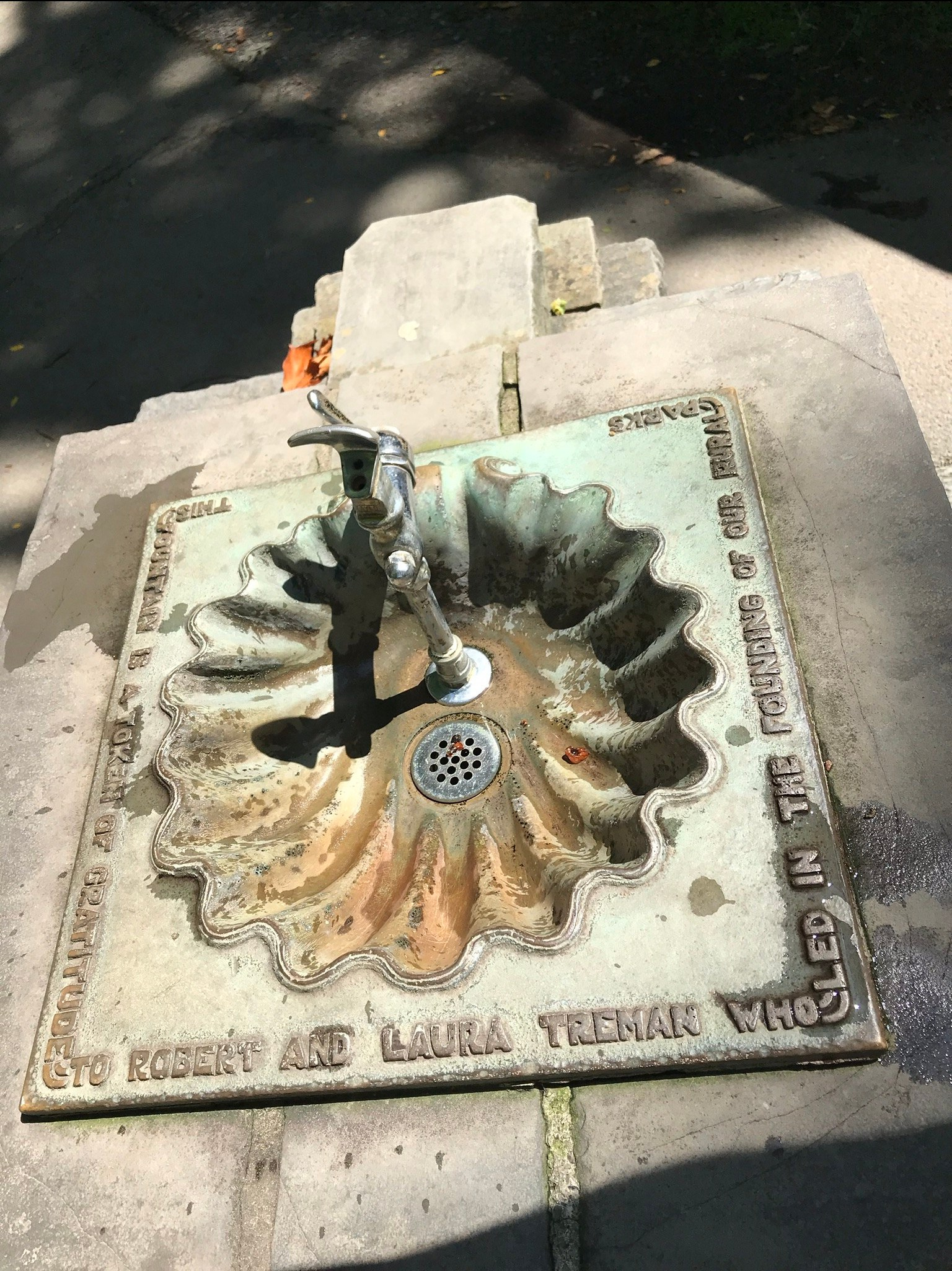
Friday is the first visit I noticed this bronze water fountain in the lower park. The land for the park was an early 20th Century donation. The inscription text is in the photograph caption.
“This fountain is a token of gratitude to Robert and Laura Treman who led the founding of our rural parks.”
James Potorti was a native of Ithaca who perished at 52 years of age in New York City on September 11, 2001 were he worked on the 96th floor of 1 World Trade Center.
Copyright 2022, Michael Stephen Wills All Rights Reserved
Friday last Pam and I joined a “James Potorti Memorial Gorge Walk” through Buttermilk Falls State Park where we learned interesting facts connected to one of my most successful photographs, “Summer Dream: Buttermilk Falls.” This is the second post of this series.
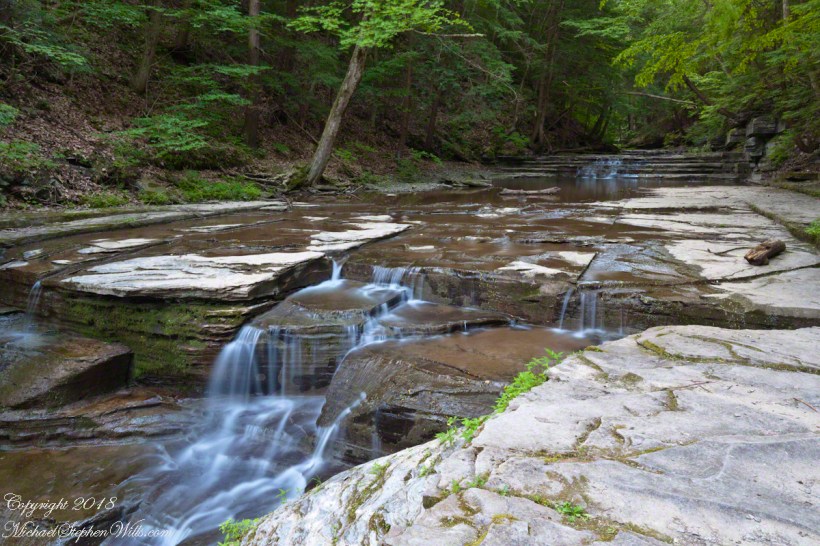
On a July morning 2018 I walked Buttermilk Creek from the scene of my “Summer Dream: Buttermilk Falls”, up the steps on the right of that photograph to where the water flows across a flat expanse of stone. This is a photograph of that expanse taken using a tripod mounted Canon EOS 1DS Mark III body with the Canon lens EF 24mm f/1.4L II USM w/a neutral density filter (0.6 as I recall).
Click photograph for a larger view.
“Summertime Cascades – 2018”
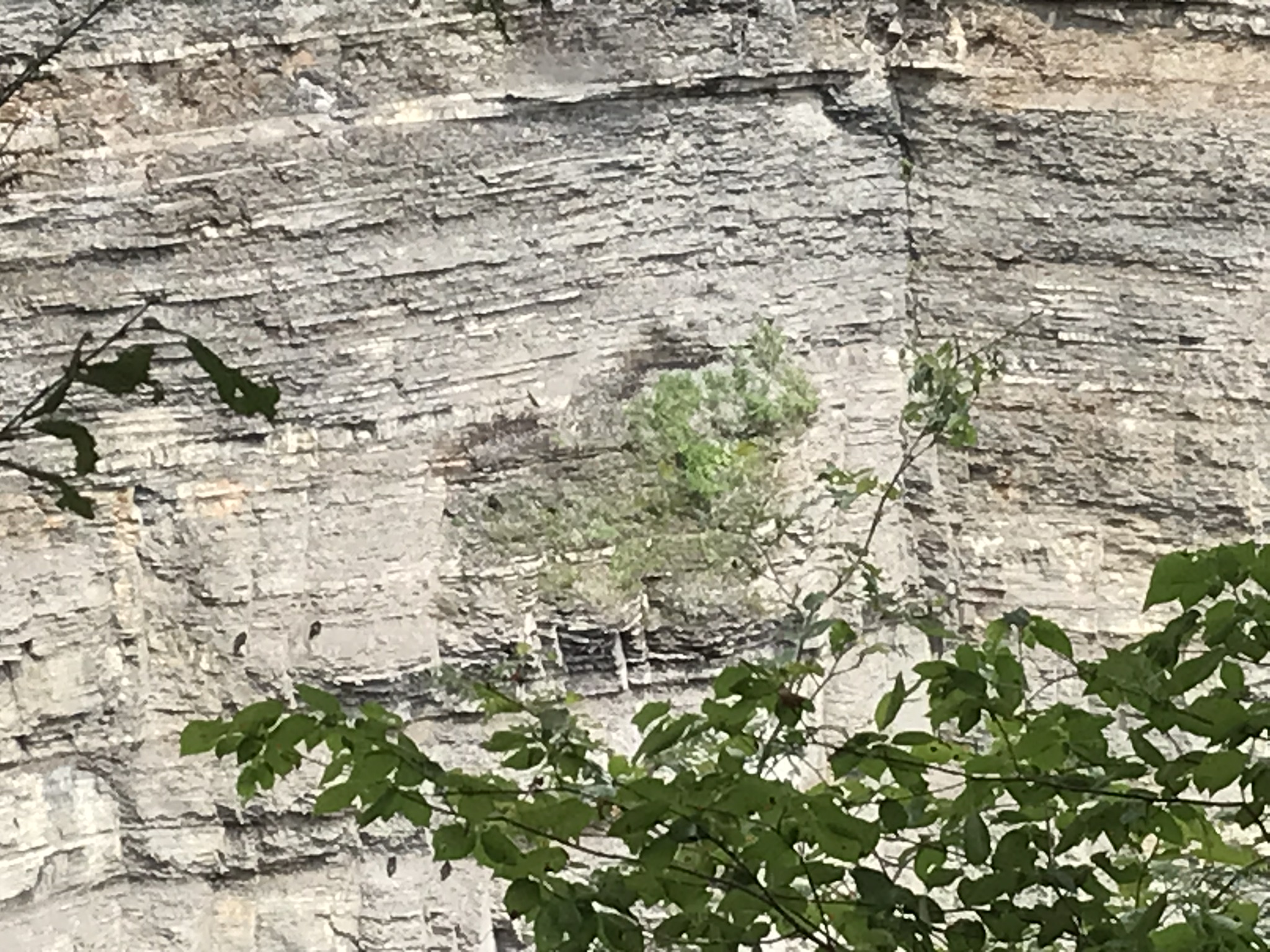
For a scene from nature there are many straight lines and, even, right angles in addition to the layering of the sedimentary rock from its origin as eroded material from the ancient Arcadia mountains collected on the floor of a warm shallow sea. We learned from Friday’s walking tour this sea was close to the equator at that time, riding on a tectonic plate that’s since drifted north. This North American Plate jostling with the others.
Beneath these rocks were older formations in which decomposed organic matter had transformed to methane gas. When the African plate and this pressed together, the stressed rocks weakened at right angles to the force, each stress point joining others in straight lines. The methane gas pressure from below forced the weak points to open a straight line fractures.
As the plates continued to move, orientation to the African plate transformed by ninety degrees and the two pressed together again. Methane gas pressure was present, causing straight line fractures at right angles to the others. Everywhere these rocks are exposed across the Finger Lakes region we see these right angle fractures.
In Memorium
James Potorti was a native of Ithaca who perished at 52 years of age in New York City on September 11, 2001 were he worked on the 96th floor of 1 World Trade Center.
Copyright 2022, Michael Stephen Wills All Rights Reserved