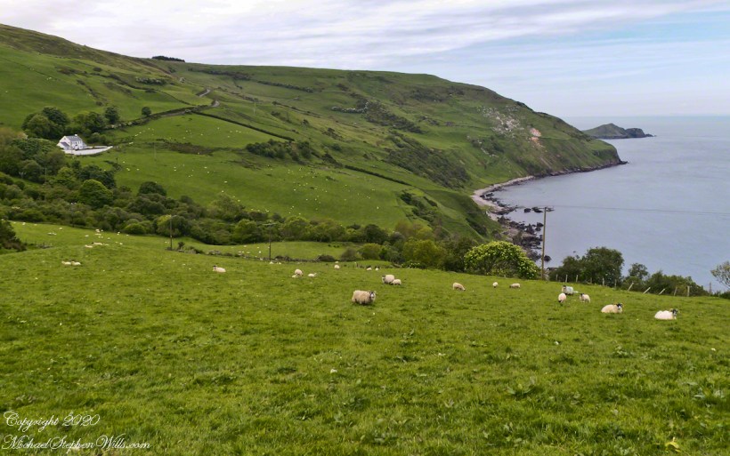
Torr in Irish is a steep rocky height. Likewise, Corr means odd, uneven, rounder, convex, curved, peaked, projecting, smooth. Combined Torcorr is the townland where we stopped on the Torr Road, halted by our wonder at this sight.
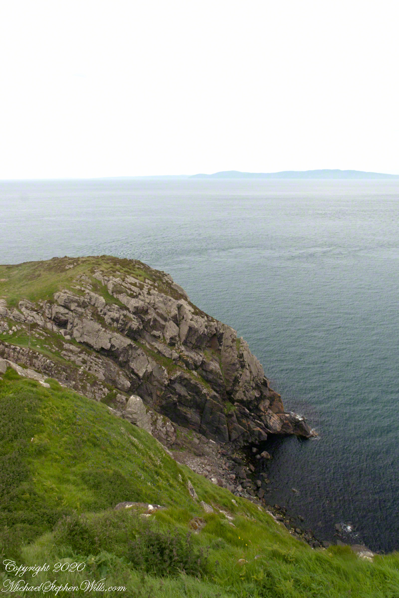
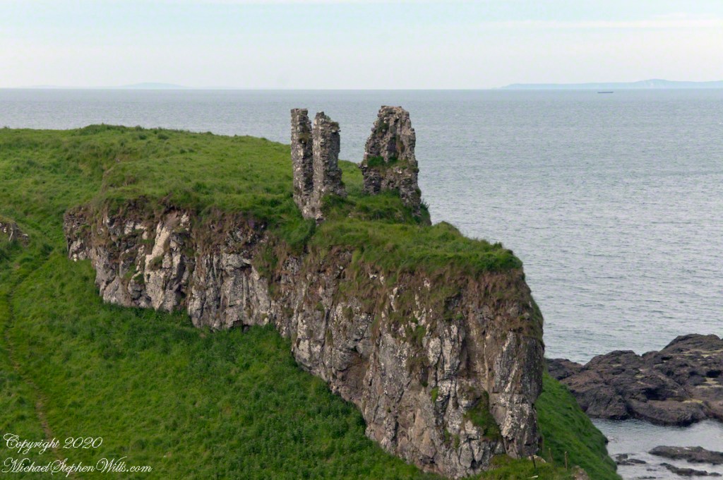
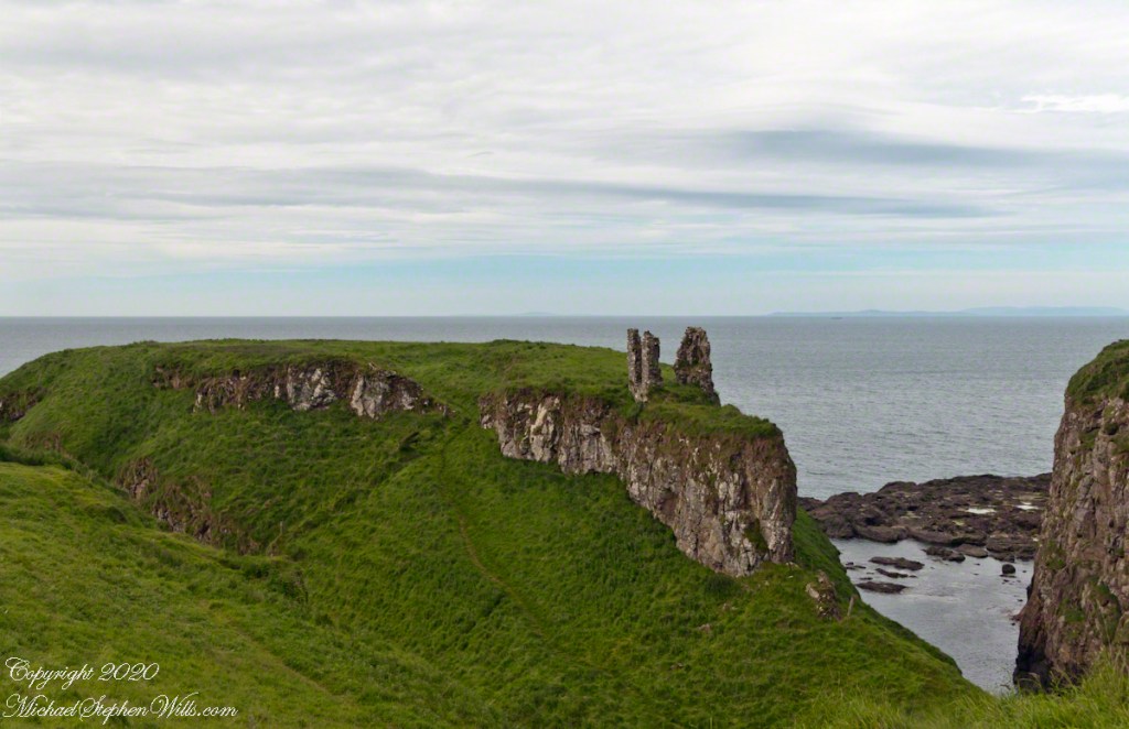
In the distance, Torr Head projects into North Channel, the closest land to Scotland. Following the coast, the cliffs in front of Torr Head are home to numerous sea birds such as Fulmars (family Procellariidae) nad Oystercatchers (family Haematopodiadae). Along the rock beaches next Eider Ducks (genus Somateria). You might see the Common Buzzard (species Buto buteo).
Click photograph for a larger view. To do this from WordPress Reader, you need to first click the title of this post to open a new page.
In the following photograph Torr Head seen from immediately above. I stand on the ancient site of Barrach’s fort, a knight of the Red Branch. After some internet research I cannot find another reference to this knight, other than the information placard on Torr Head.
Copyright 2022 All Rights Reserved Michael Stephen Wills
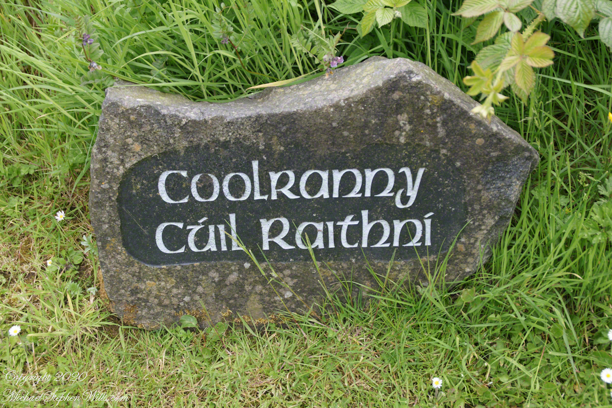
2014, the count of townlands on and around the island of Ireland was 61,098 with most of Irish Gaelic origin predating the Norman invasion, first recorded in 12 century church records. The names have a pride of place reflected in the beauty of the namestones along Torr Road.
Click photograph for a larger view. To do this from WordPress Reader, you need to first click the title of this post to open a new page.
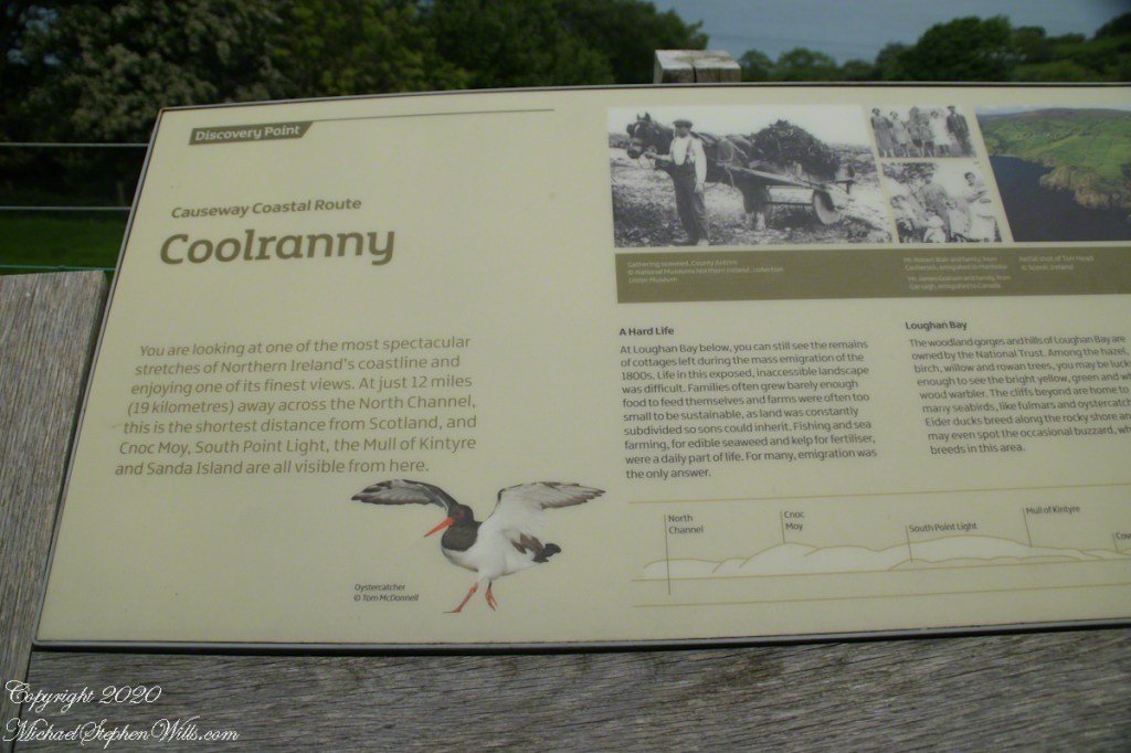
Namestone on Torr Road in Coolranny townland.
The 82 acres of Coolranny forms a slice of land running from a ridge to Loughan Bay off the North Channel of the Irish Sea across from Scotland.
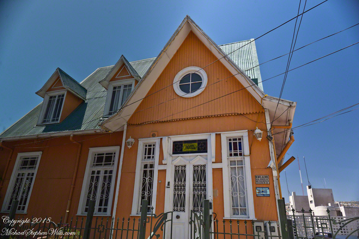
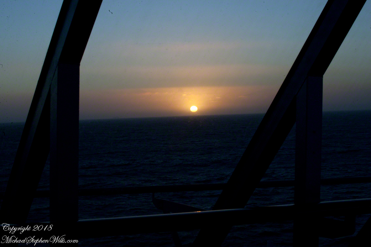
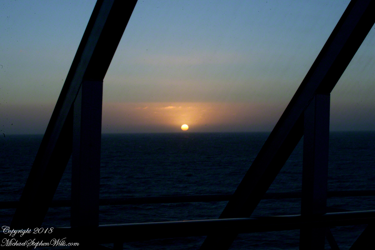
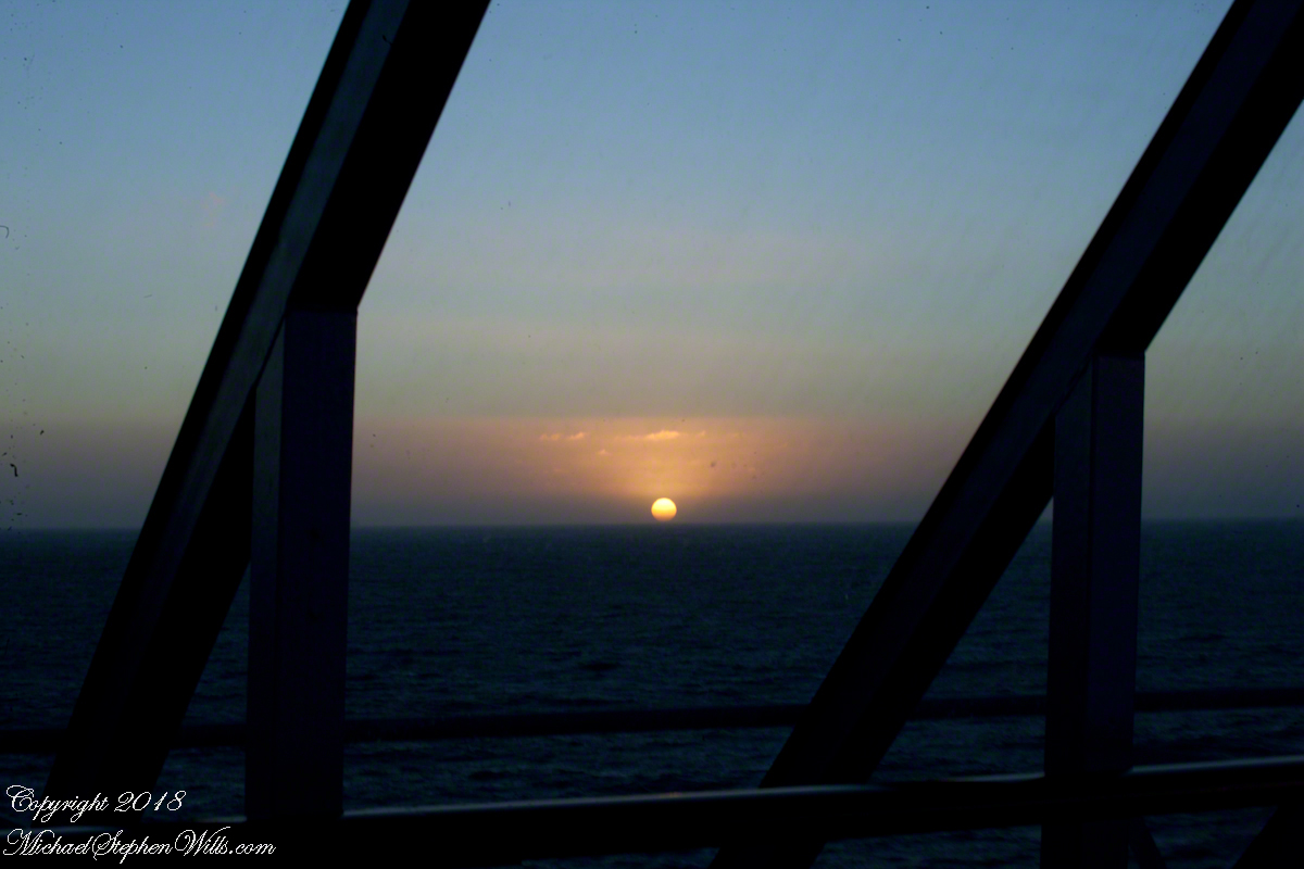
Posting about our departure from Valparaiso, Chile (see Valparaiso Departure III “The Sunset”) brings us to the time spent wandering this World Heritage Site, added to the UNESCO list in 2003. Within the amphitheater of hills is Cerro Conception (Conception Hill), historically settled by English and German immigrants. The façade of the Hotel Brighton, a building from the 19th century heyday of Valparaiso when it was a stopping point for shipping through the Straits of Magellan, reveals why so many of the buildings are alike: all are constructed from materials dropped off from sailing ships.
The theme of the Hotel Brighton evokes thoughts of immigrants remembering their origins, emigres claiming a spot of real estate to mold a sense of place for themselves. This goes both ways, Valparaiso, Indiana was formerly Porterville of Porter County. The motive force behind the renaming were the memories of the retired Captain David Porter, the sole survivor of an attack on his ship USS Essex by the British frigates Phoebe and Cherub in the War of 1812, within sight of Valparaiso. Fifty eight (58) United States Marines lost their lives in that sea battle. To point out the obvious, Captain Porter is the namesake of Porter County.
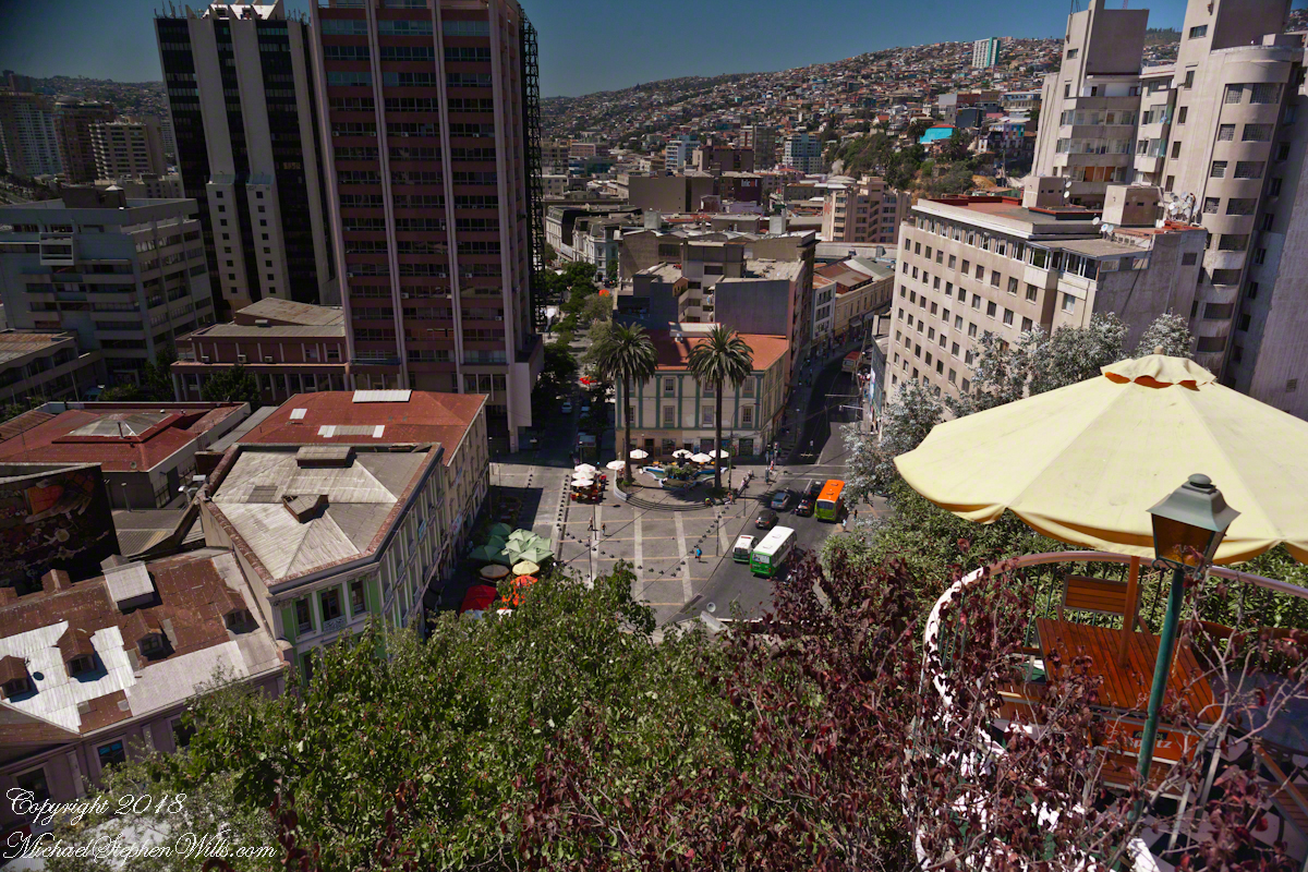
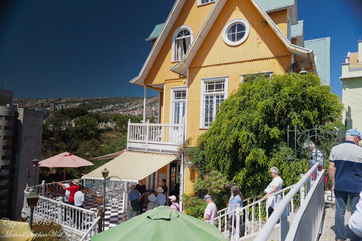
Pam corrects me when I say we “stopped for lunch” at the Hotel Brighton, pointing out we “only” had a glass of red wine and an empanada. Both were tasty, even more so with this marvelous view looking north into the other hills of the city. The yellow umbrella is on the hotel restaurant terrace.
I missed capturing the signature wrought iron gate forming the word “Brighton” among decorative scrolls. Built on the edge of Conception Hill it overlooks the coastal plain almost all of which is man-made.
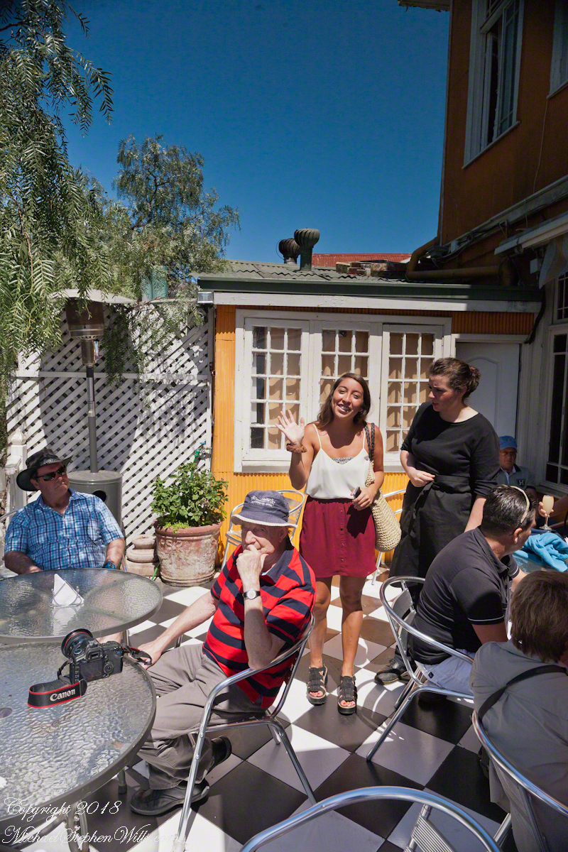
During our refreshment, this young lady (see photograph below) introduced herself as a reporter for El Mercurio. Accompanied by a photographer, she interviewed us and we had our photograph taken, I returned the favor with the following photograph saying the story might appear in the next edition. Standing next to her, with a puzzled look, is our waitress who was from the States.
El Mercurio de Valparaiso is the oldest continuously published Spanish language newspaper in the world. In my research for these photographs I discovered the newpaper officers were a short walk from the landing of the Ascensor Conception.
Copyright 2022 Michael Stephen Wills All Rights Reserved
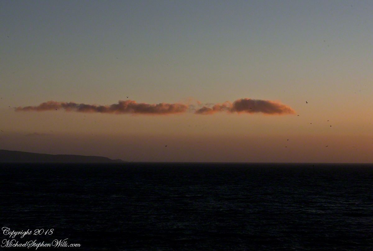
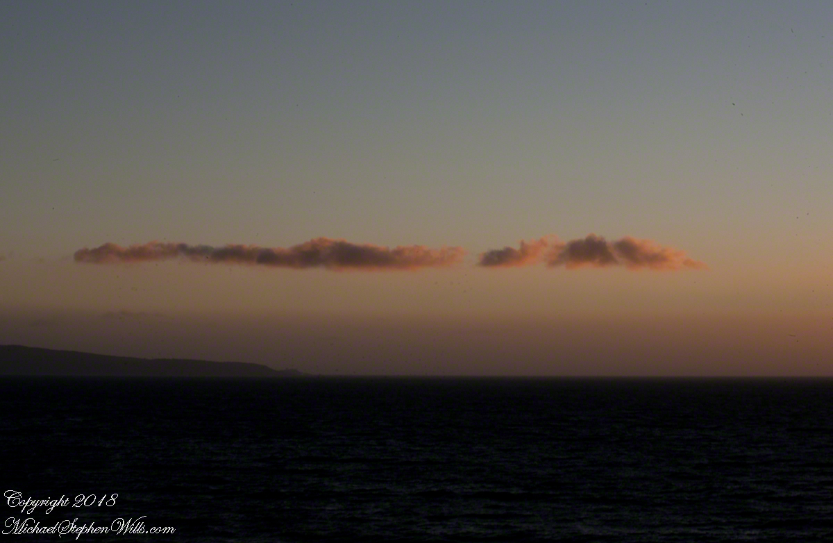
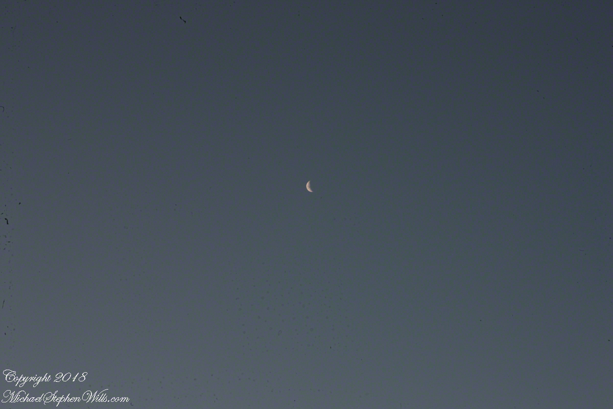
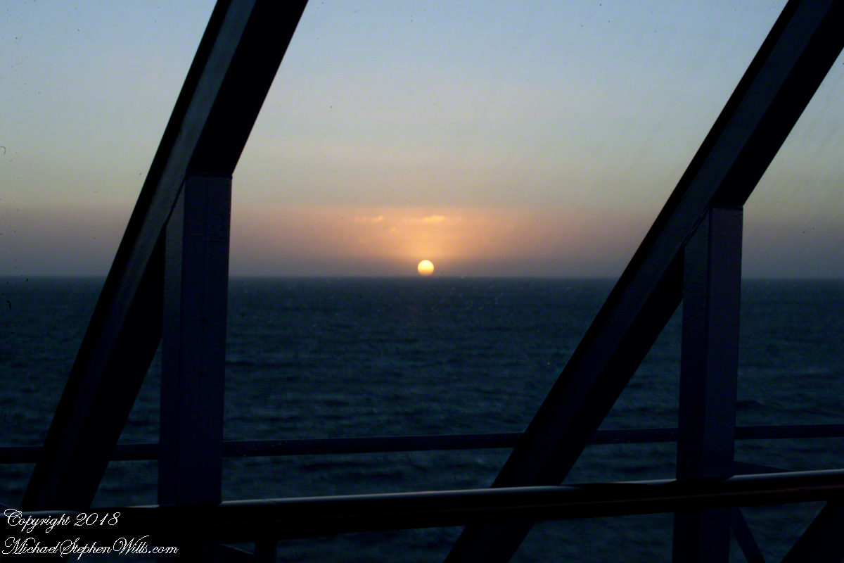
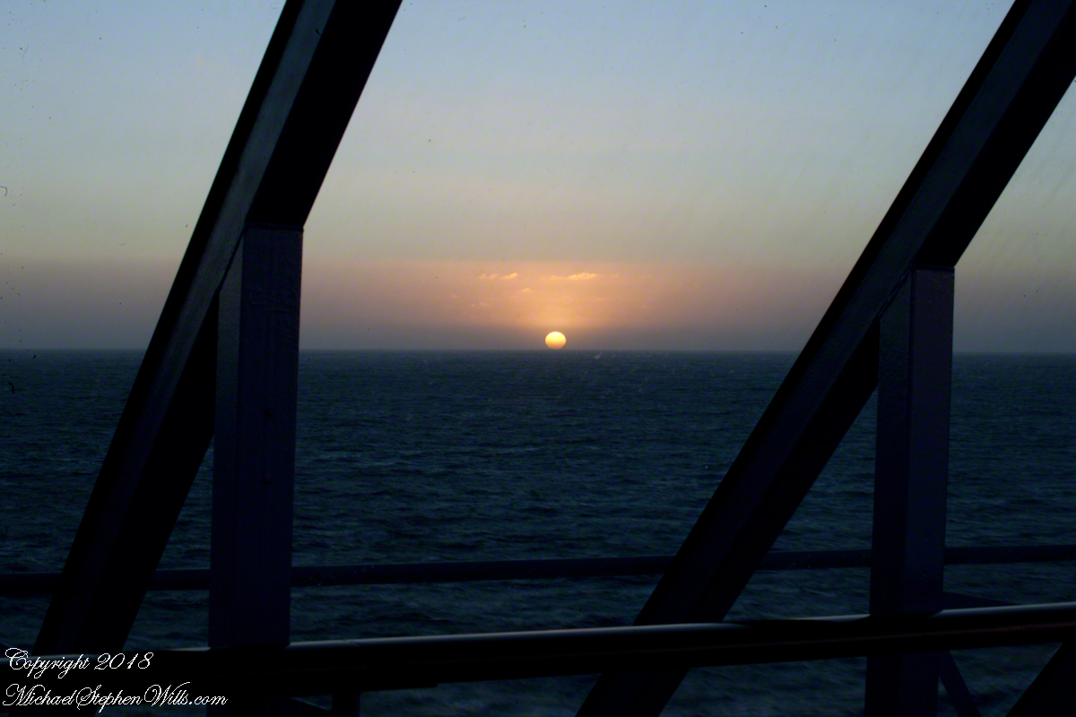
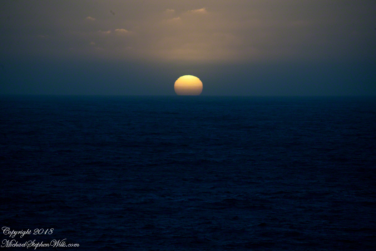
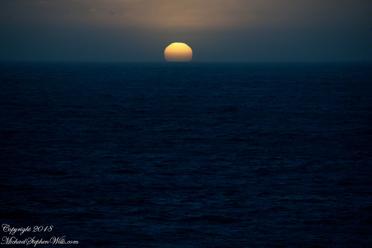
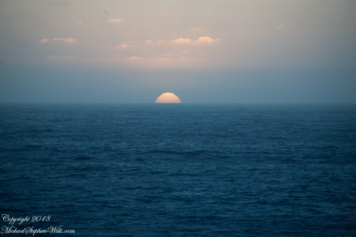
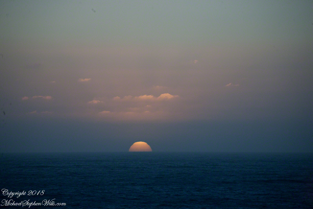
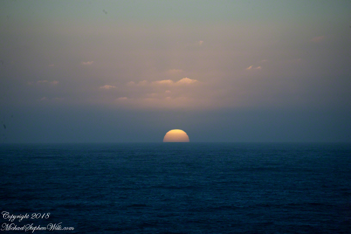
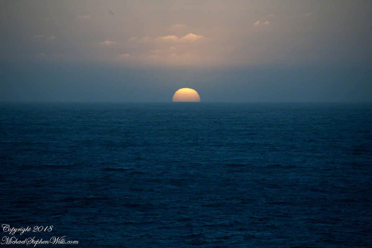
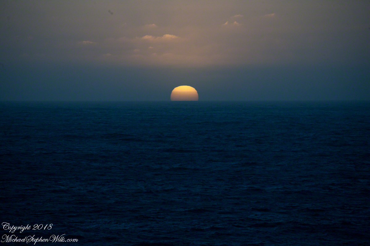
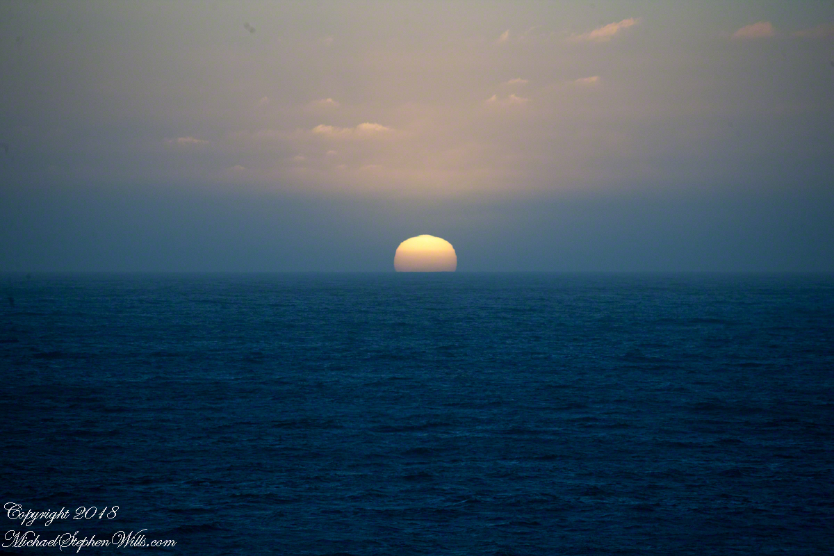
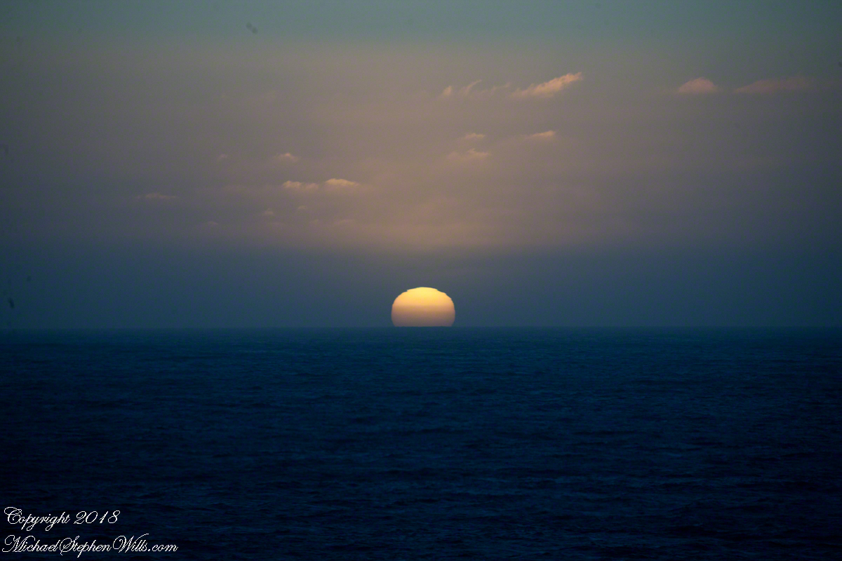
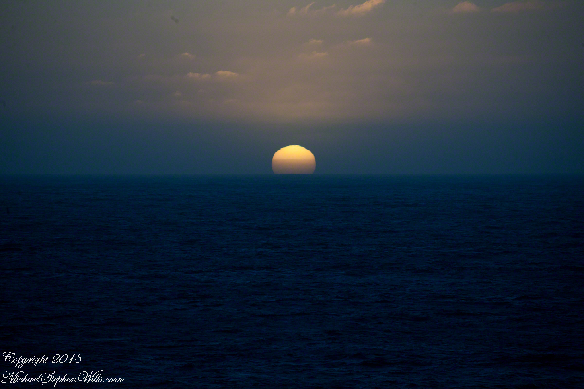
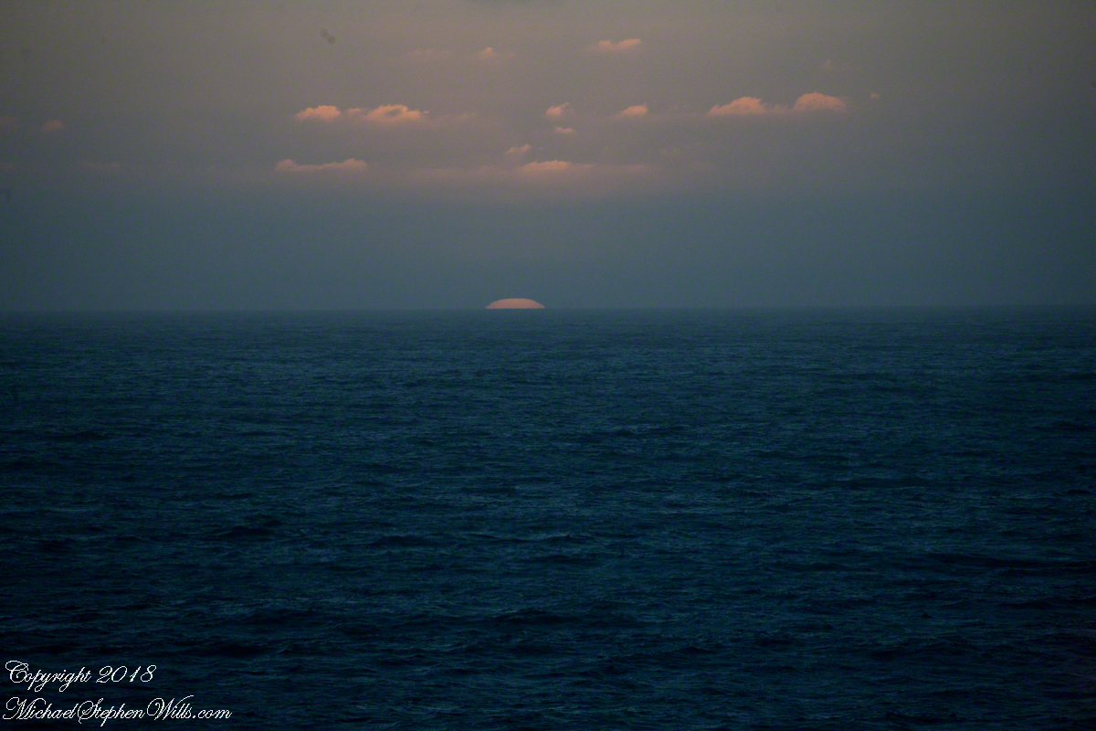
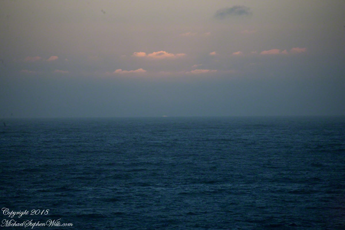
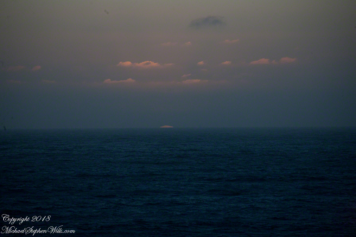
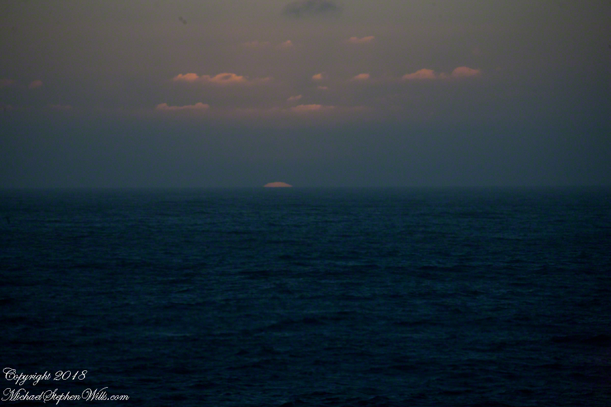
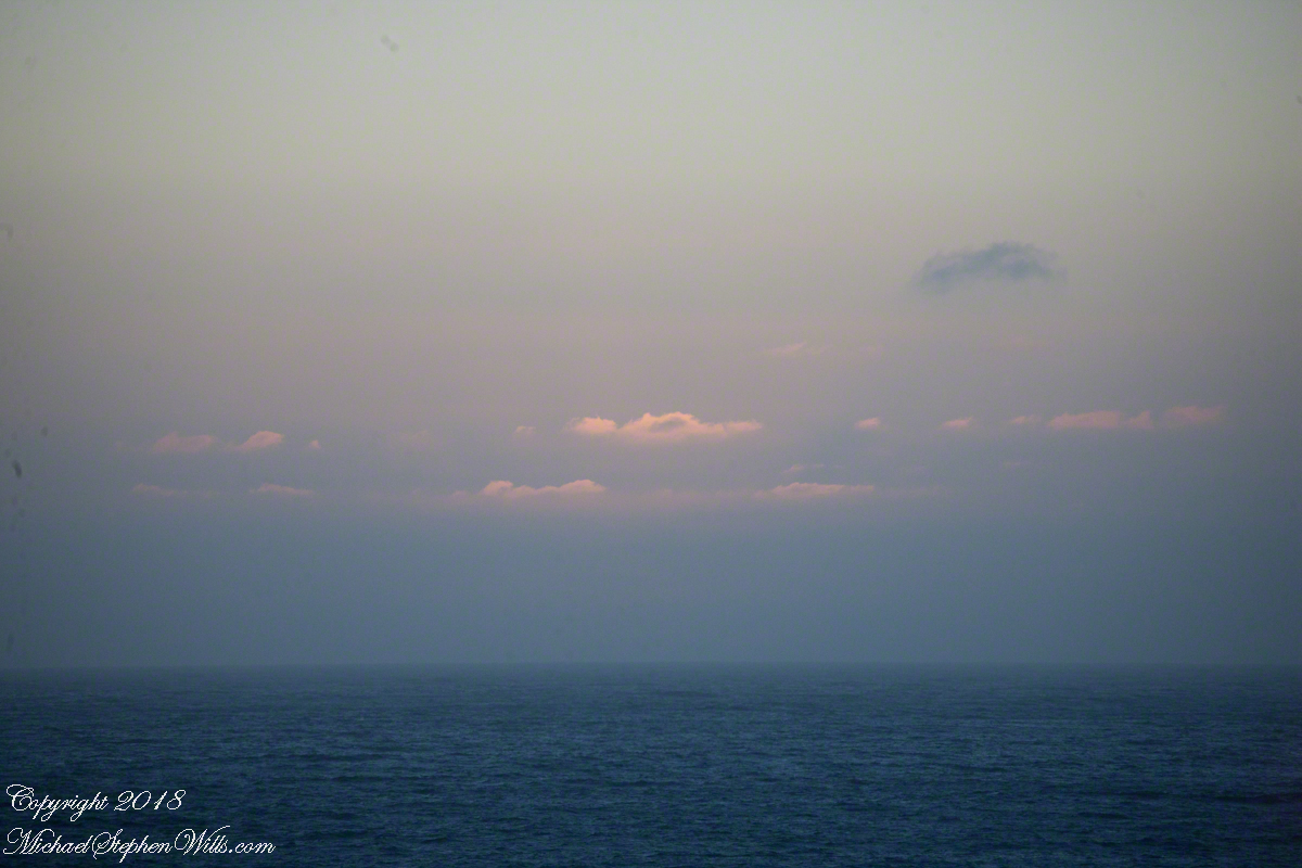
Two minutes after capturing the last light on Concon Point, see “Valparaiso Departure II”, turning the camera 180 degrees, to the south, looking along the Chilean coast, to capture birds on the wing headed toward shore at day’s end. Remembering other times,
waiting for darkness
with a sky map, studying it to make sense of the stars.
How far? How large?
Light from our star, eight minutes old,
grazed the earth’s rim the breath of a moth wing ago.
Connect the dots, stories of heroes, monsters.
Our star, as we know it now
Singular, alone,
Progress, an illusion to be understood
No less mysterious for that
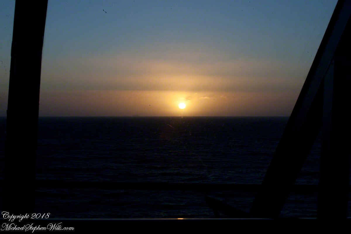
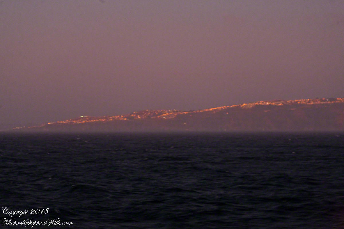
Look back to the sheltering headland of Valparaiso, glowing.
Copyright 2022 Michael Stephen Wills All Rights Reserved
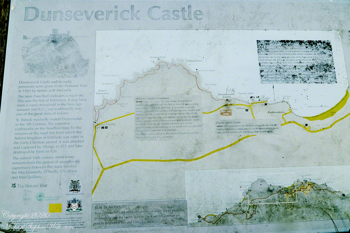
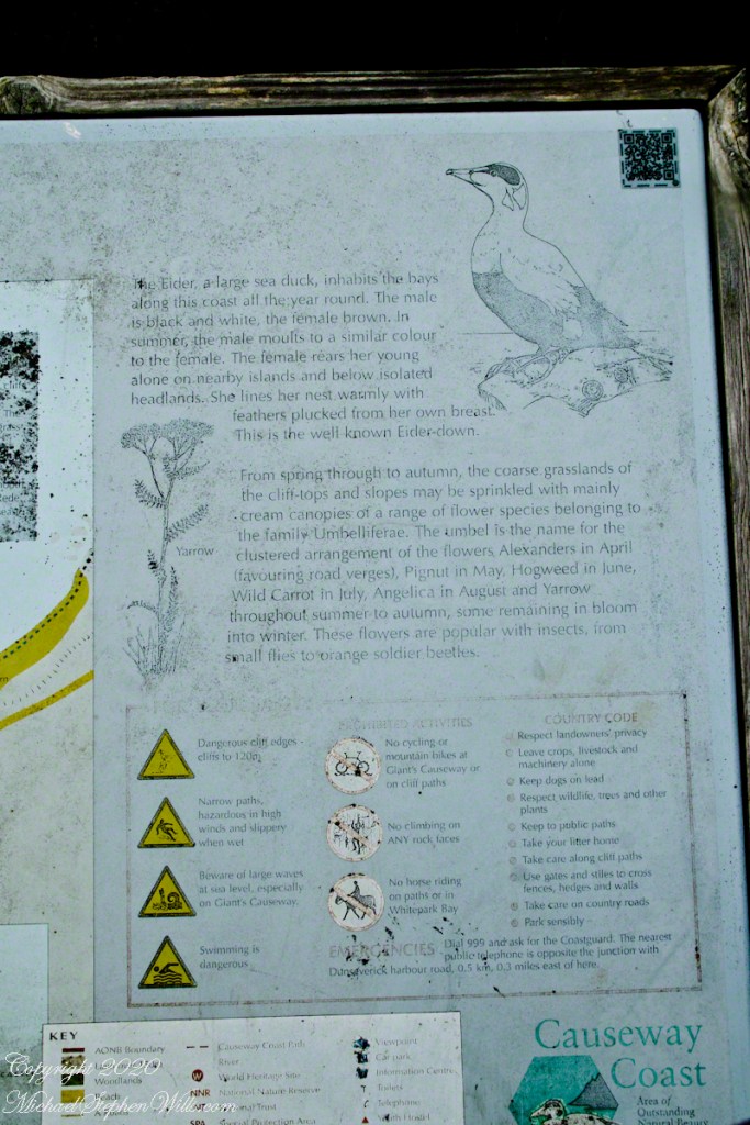
On Causeway Road there is a turnoff an information placard for Dunseverick Castle near a cottage. This is the left side of the placard with the historical context. The right side is natural history of the area.
Click photograph for a larger view. To do this from WordPress Reader, you need to first click the title of this post to open a new page.
Here we can see the two partial wall, remains of a gate house, destroyed in the 17th century. I can imagine making the climb up the foot path, examine the earthworks from before the Viking invasions, middle of the first millennium A.D. Recall a visit by Saint Patrick, trodding the path from his Easter fire on the Hill of Slane.
Click photograph for a larger view. To do this from WordPress Reader, you need to first click the title of this post to open a new page.
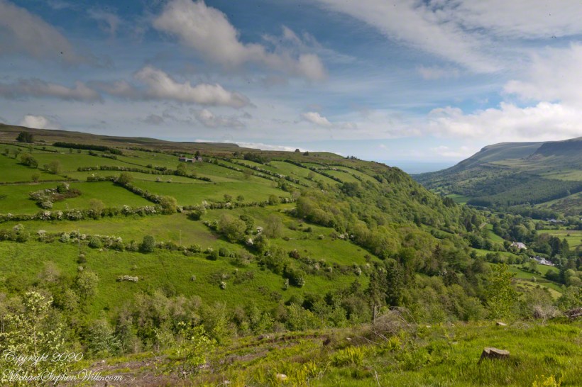
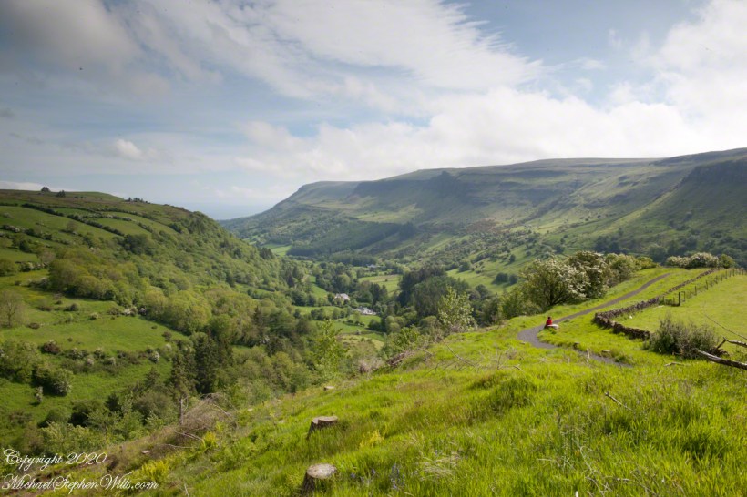
White Hawthorne tree blooms grace hedgerows of the rural hillside facing Glenariff Forest Park. The other white is grazing sheep. The North Channel of the Irish Sea is visible at the foot of the glen, with the shore of Scotland just visible.
Foreground are the stumps of mature trees cut by the forest service to control the oomycete plant pathogen Phytophthora ramorum. We visited June 2014, the year before, October 2013, the Belfast Telegraph reported “Northern Ireland is close to the point where it will be impossible to eradicate a virulent disease from the forests where it has taken hold.” Glenariff Forest part was one of those forests and the tree stumps are victims of that struggle.
Click photograph for a larger view. To do this from WordPress Reader, you need to first click the title of this post to open a new page.
Comparing this view with the first of this series, first glance, with the camera held steady on a Manfrotto studio tripod, it is identical but from the play of light and cloud. My model Pam walked a few feet to sit in quiet contemplation of the beautiful surroundings.
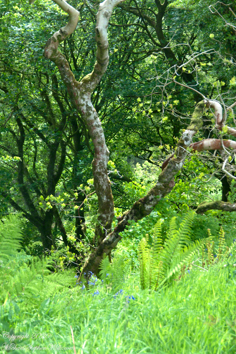
To produce stock photography I research the details of the image, to write an informative caption. For example, in the post “Another Glenariff View” my identification of the Rowan was from a two volume atlas, paging through page after page.
Click photograph for a larger view. To do this from WordPress Reader, you need to first click the title of this post to open a new page.
Walking around the park trails with a handheld Sony Alpha 700 dslr, a Sony DT 18-200mm variable lens mounted. Sorry to say, I was selective and have only these three photographs to supplement the grand views of the previous two posts. Click me for the first post of this series.
These are from the upper portion of the Red Trail, we did not wander far from the car park. Such a funny term for a parking lot, a park for cars. The cafe offers pick me ups and we indulged.
Click photograph for a larger view. To do this from WordPress Reader, you need to first click the title of this post to open a new page.