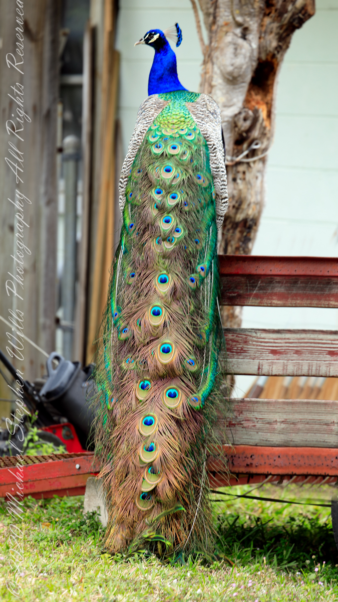
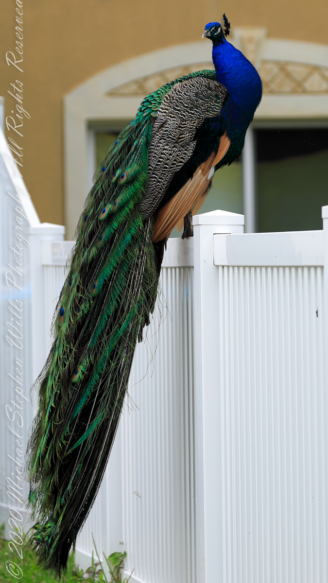
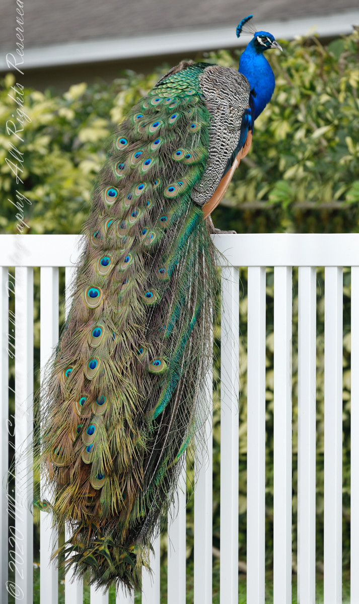
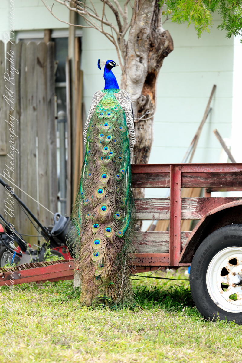
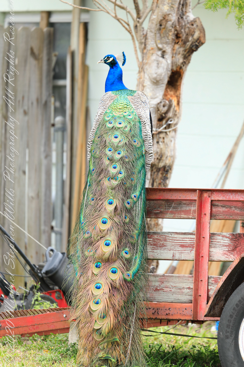
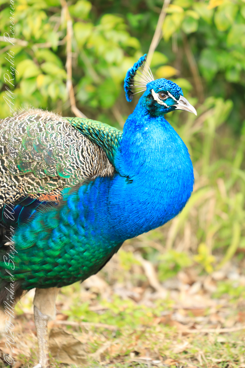
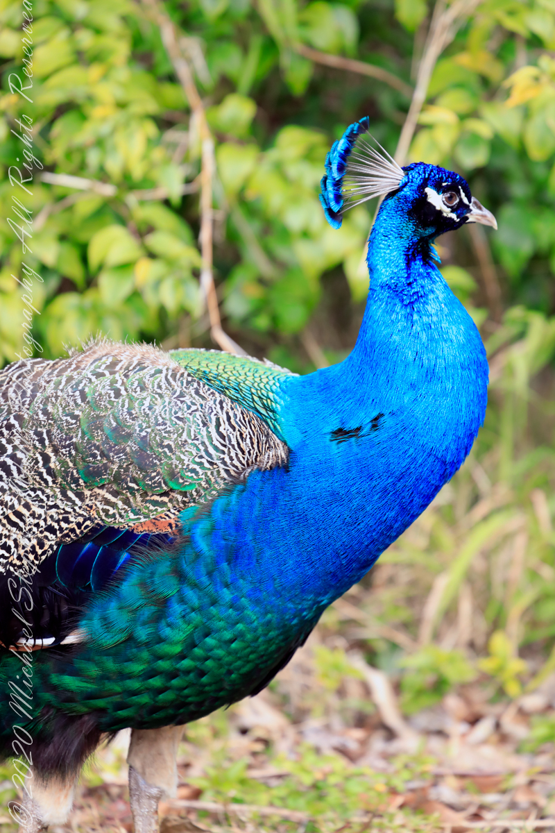
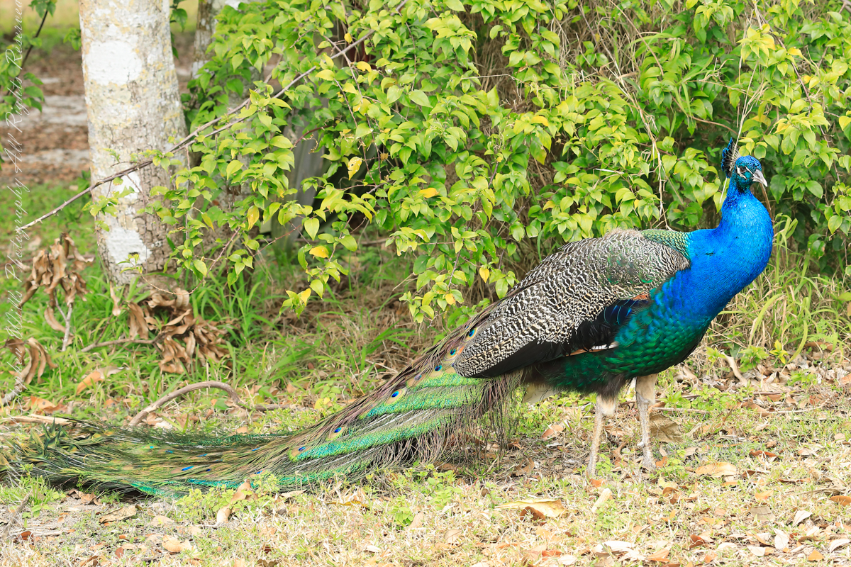
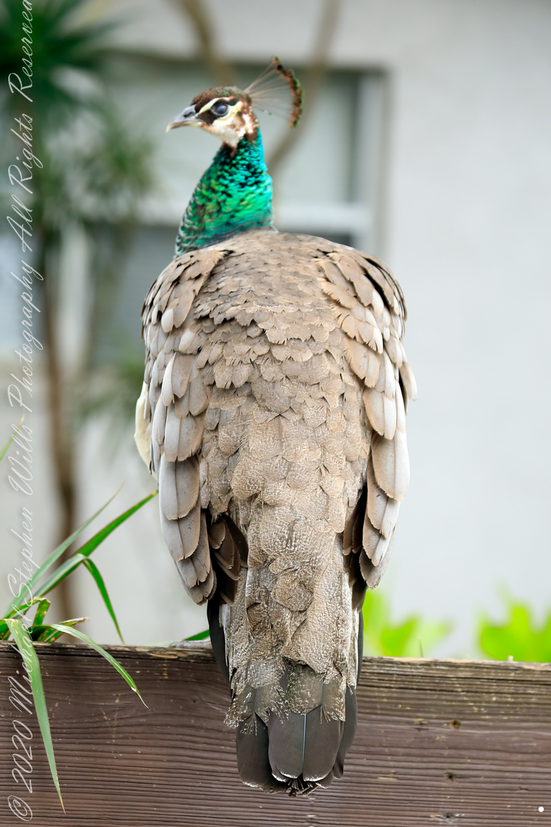
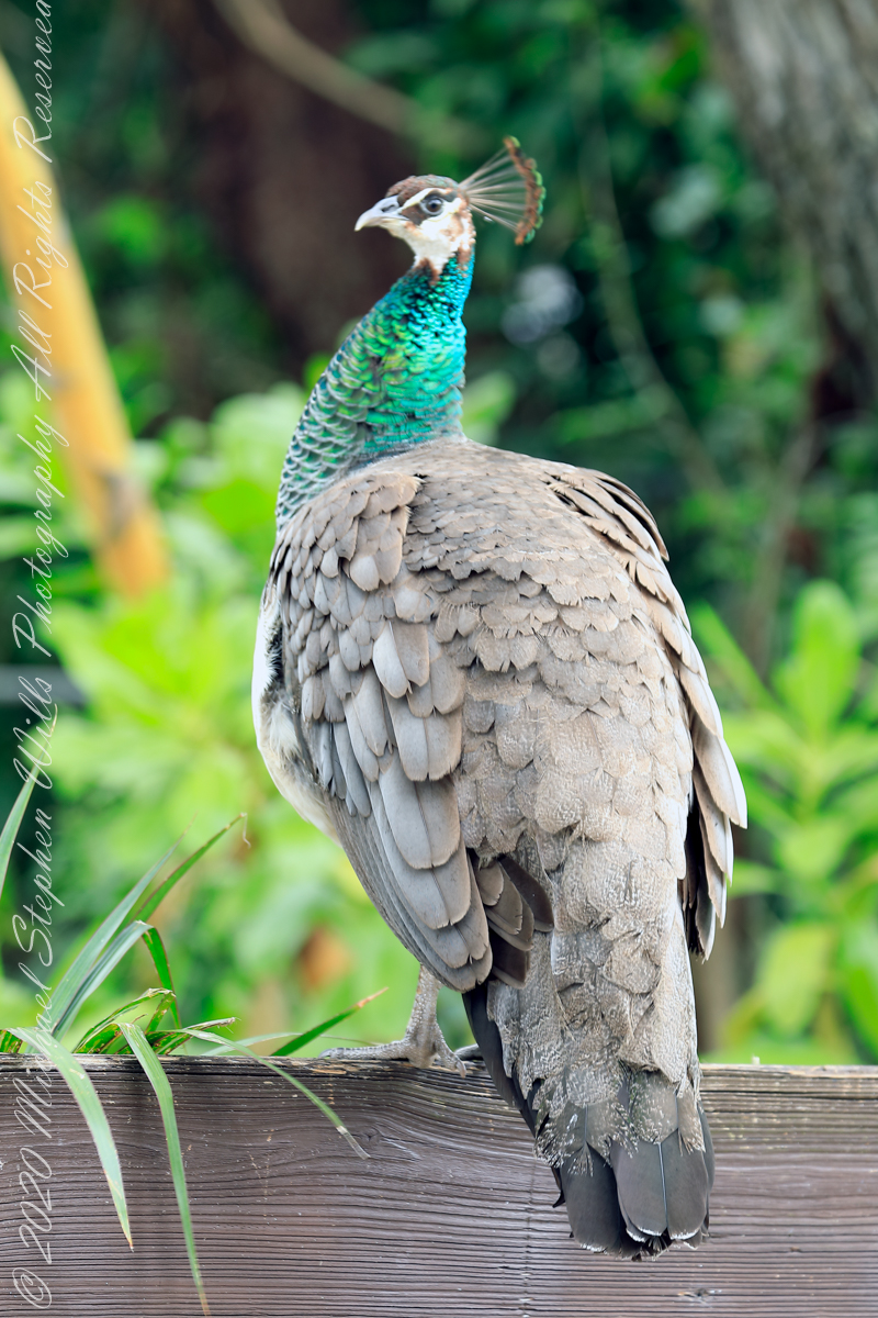
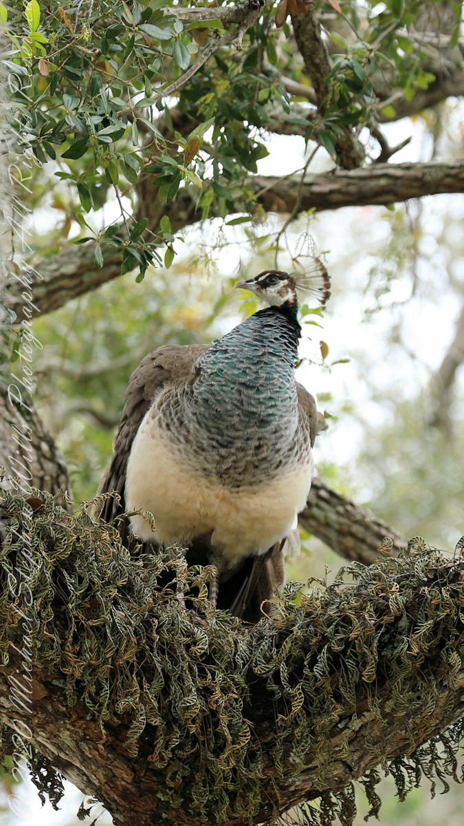
February is Peafowl mating season and for Cape Canaveral the displays were especially fine. These were captured on a photography expedition via automobile, being especially fortunate in observing peacocks (male peafowl) on high perches oriented perfectly to display the magnificent train (trail).
Here is some information on Reddit from “Mr_mayhem77 “According to locals, the Eberwein family lived between Port Canaveral and what is now the Villages of Seaport. In fact a street is actually named after them (Eberwein Drive) at the northern edge of Cape Canaveral. They had the peafowl among many farm animals. The family moved in 1986 and abandoned the peafowls. Over the years the peafowl have slowly populated our community with the greatest concentration being north of Central Ave.”
“Slumming” among lawn equipment
Copyright 2022 Michael Stephen Wills All Rights Reserved
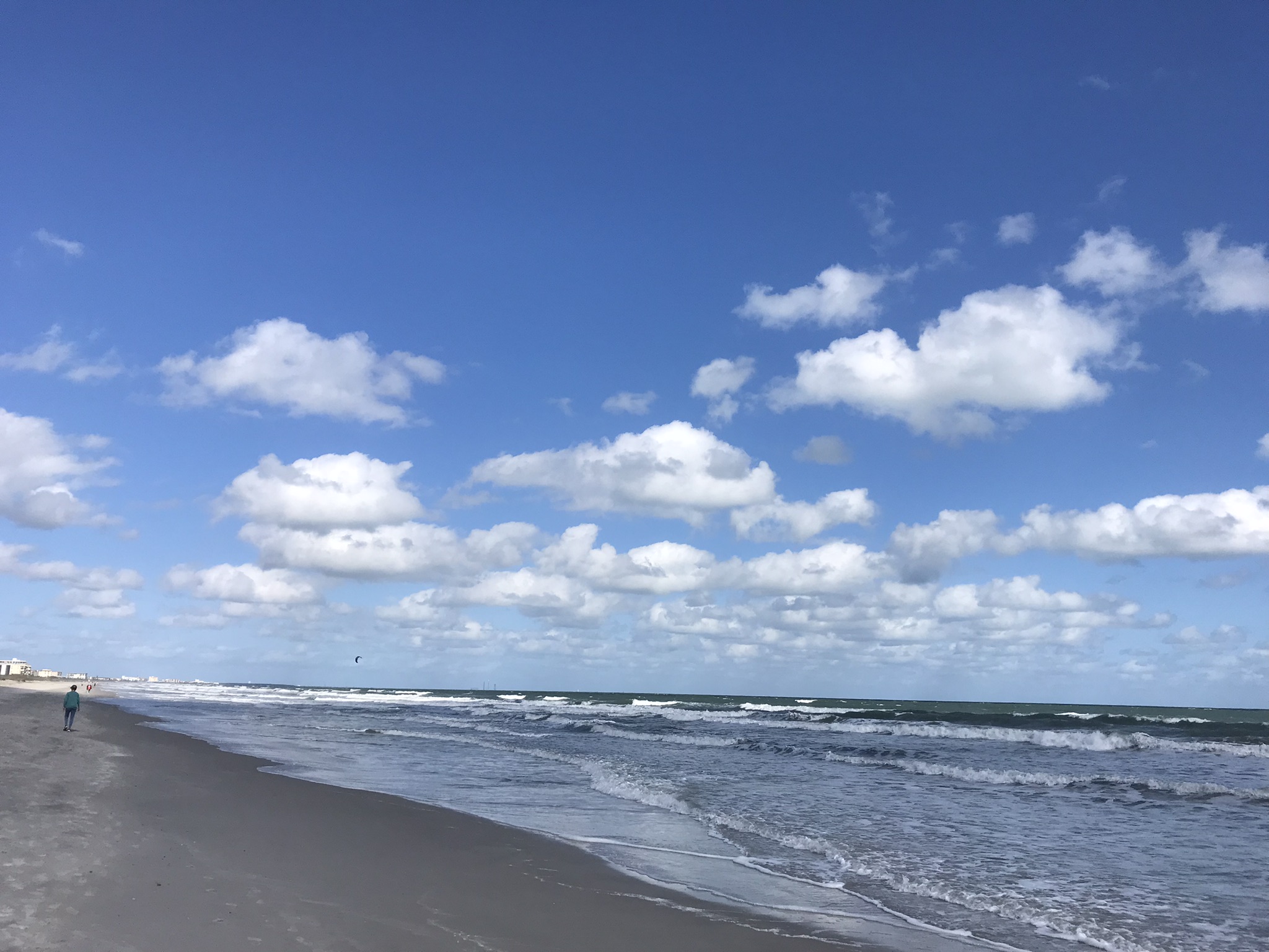
On a day February 2022 Pam and I decided to walk the beach starting from Cheri Down Park, Ridgewood Avenue, Cape Canaveral headed north toward Jetty Park hoping to catch a postponed rocket launch rescheduled for that afternoon. We were encouraged to find video news crew positioned near the park entrance as these professionals were in the know for the best spots to watch the spectacle.
We walked a mile or so, more than halfway to Jetty Park, when the word circulated the rocket launch was cancelled. Rather than turn around, we decided to explore the walkway that opens on “Peacock Beach” as Google Map listed a public parking space there, quite a bit closer to Jetty Park. This park charges a hefty entrance fee to non-residents, so we were parking at Cheri Down, we saved $10 for each mile walked.
GorgeousIiridescent blue and green Dimorphism on display
Having leisure, we decided to walk back to Cheri Down the long way. In what turned out to be a 1.7 mile stroll we encountered these residents for which the beach is named. Then and there Pam and I decided to return for a dedicated photography expedition, the results of which I will share over several posts.
Females share the head crestIridescent green neckA bed of moss
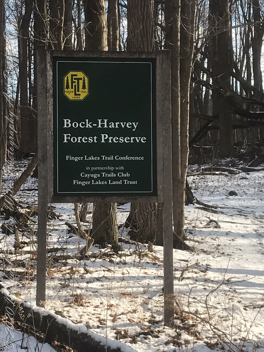
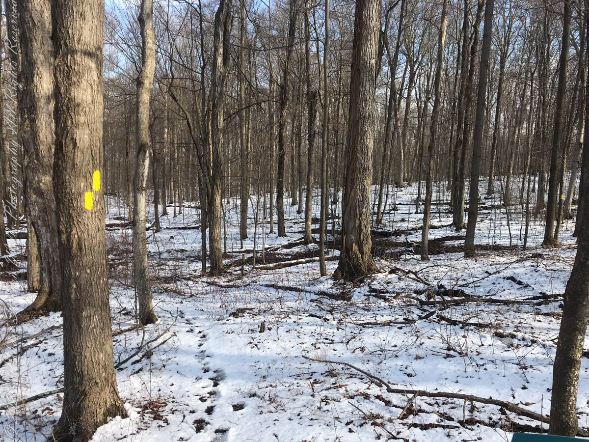
On September 14, 2013, the Bock-Harvey Forest Preserve was dedicated protecting 48 acrea of open meadow, transitional meadow, mixed hardwood forest, a special environmental protection zone and the Finger Lakes Trail. Brock-Harvey Forest Preserve, and all land as far as the eye can see from there, was part of the Military Tract of Central New York, 28 townships given classical Greek and Roman names, each township 100 lots of 600 acres each, approved by the U.S. Congress 1799. Here, the township was Ulysses, encompassing the southern end of Cayuga Lake and surrounding lands. Thus, the city of Ithaca and Hector Street winding up from the valley passing below our home.
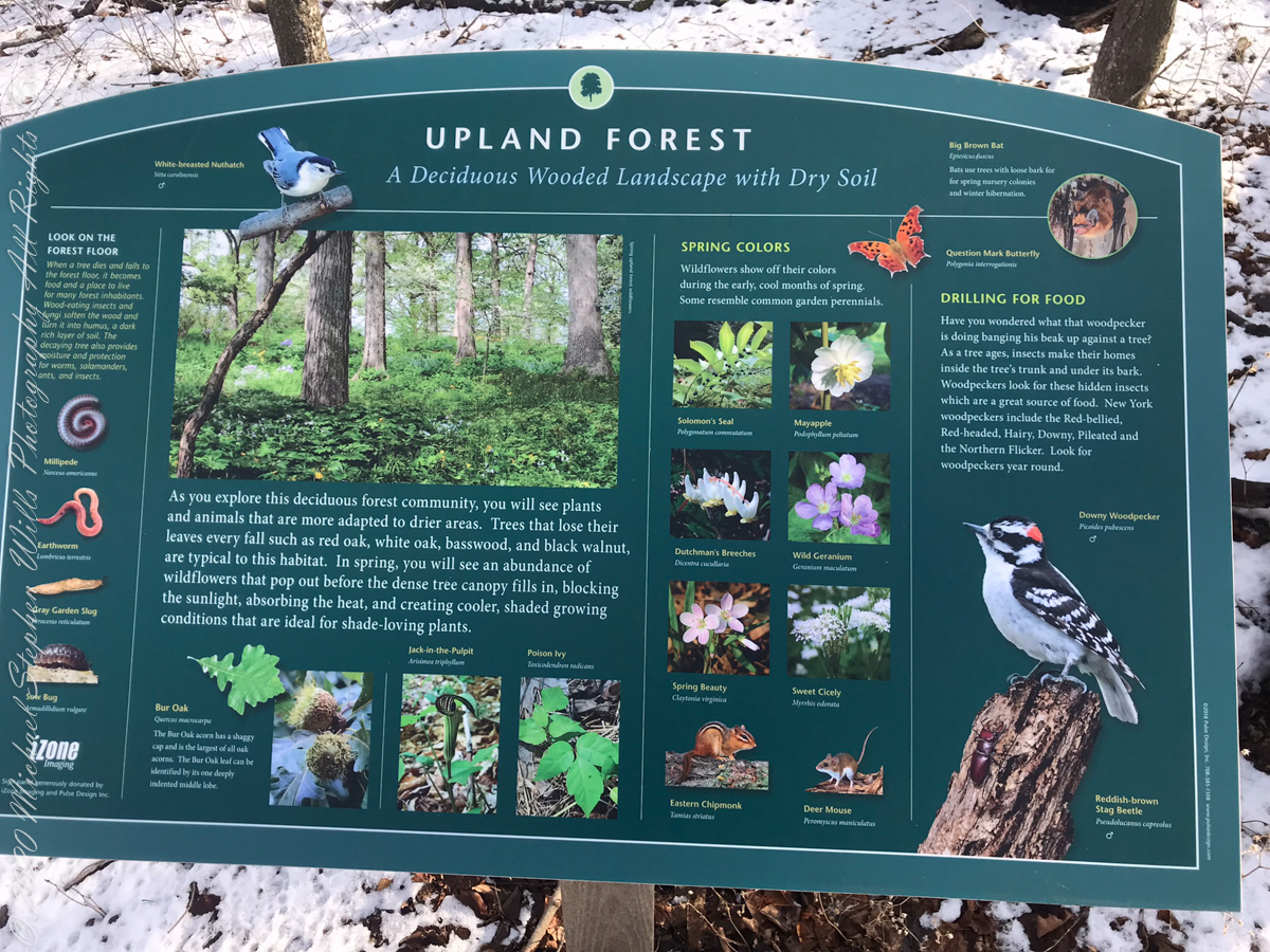
Sign on Rockwell RoadResting Place in forestGreat Information
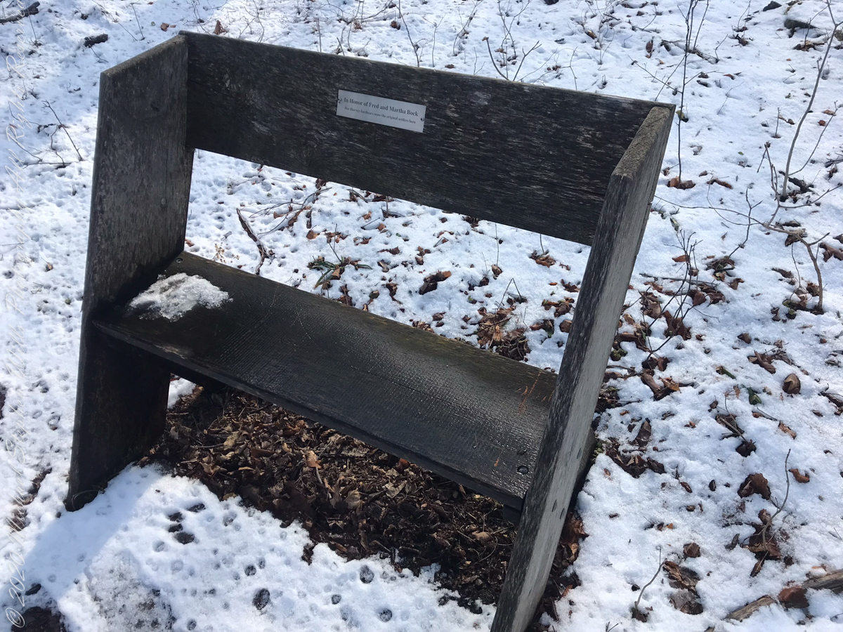
This land and several other military tracts were purchased by Samuel Harvey. He then gave he lands to his sons including this farm to Silas Harvey, the great-great-great-great grandfather of Megan Barber who led the dedication ceremony of the forest preserve. Megan’s great-grandmother Martha Harvey married Fred Bock and lived on this land used for dairy farming for over 150 years.
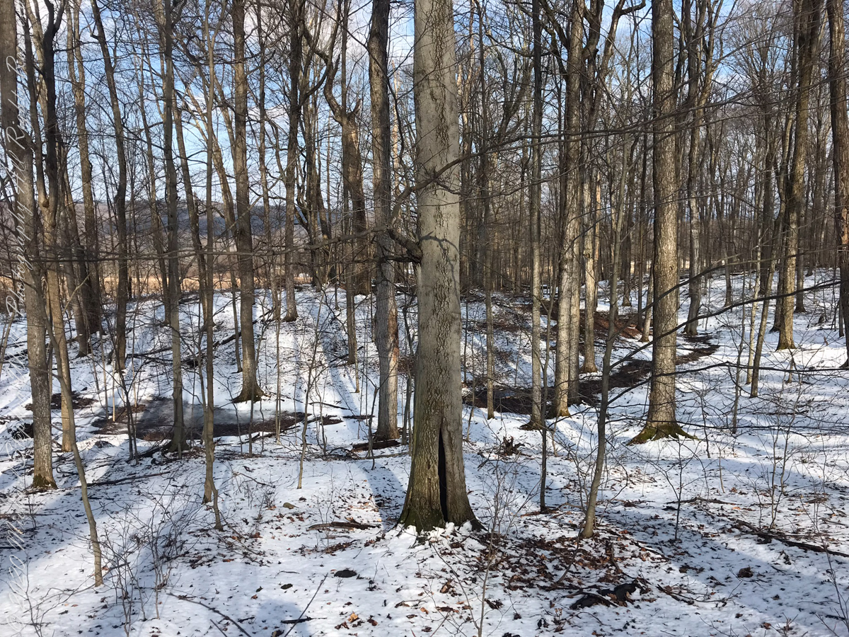
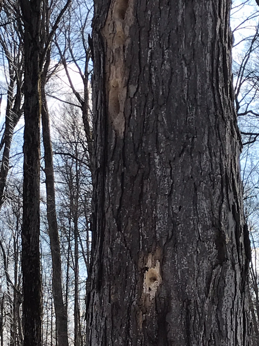
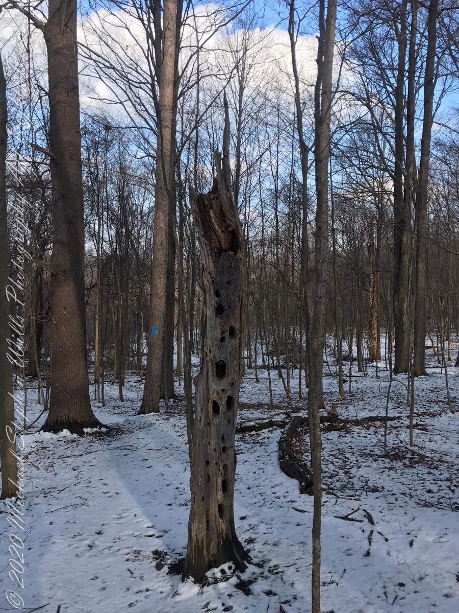
forested uplandvernal poolsnagfull of bird holes
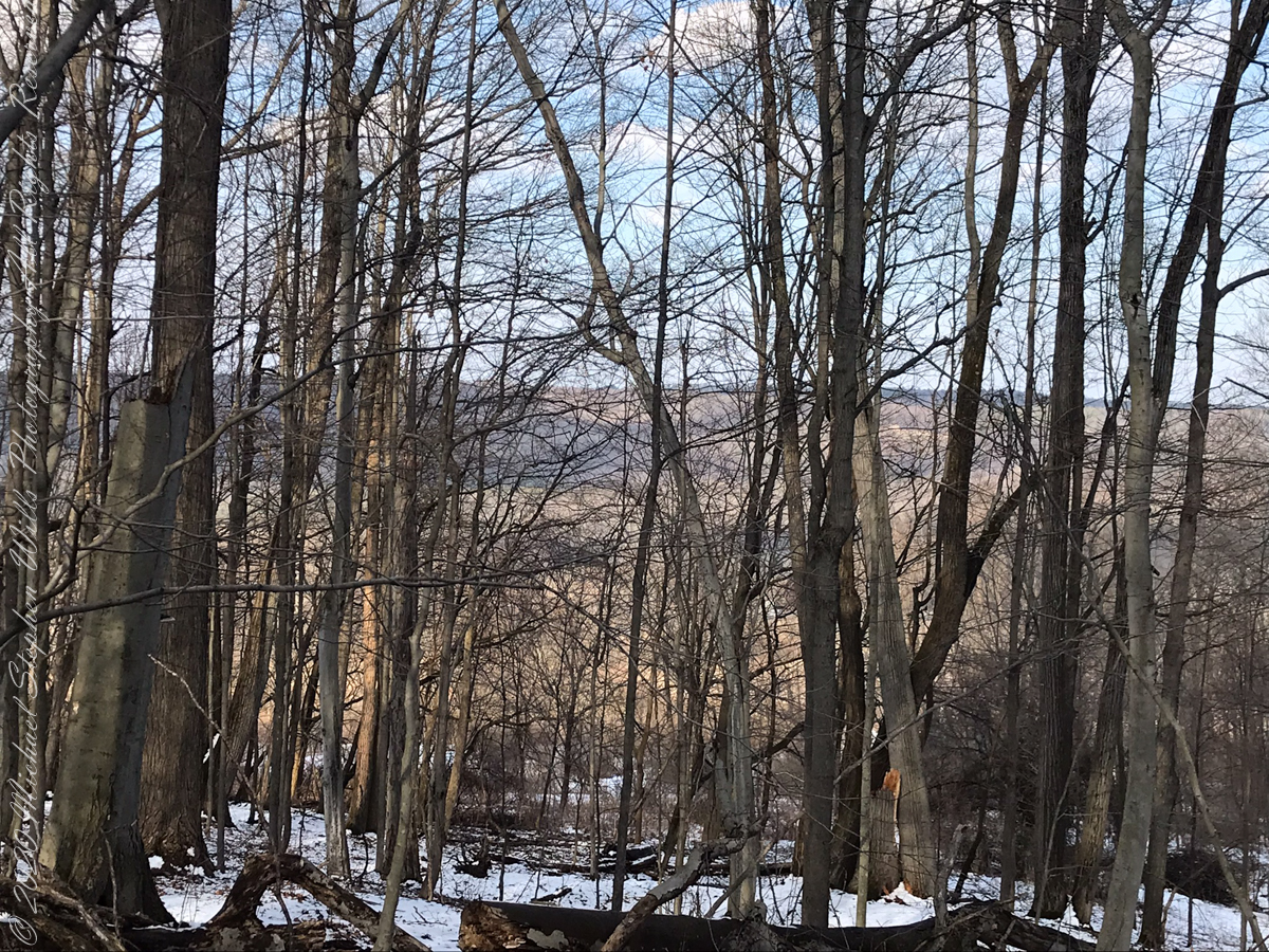
The preserve exceeded my expectations for great upland views.
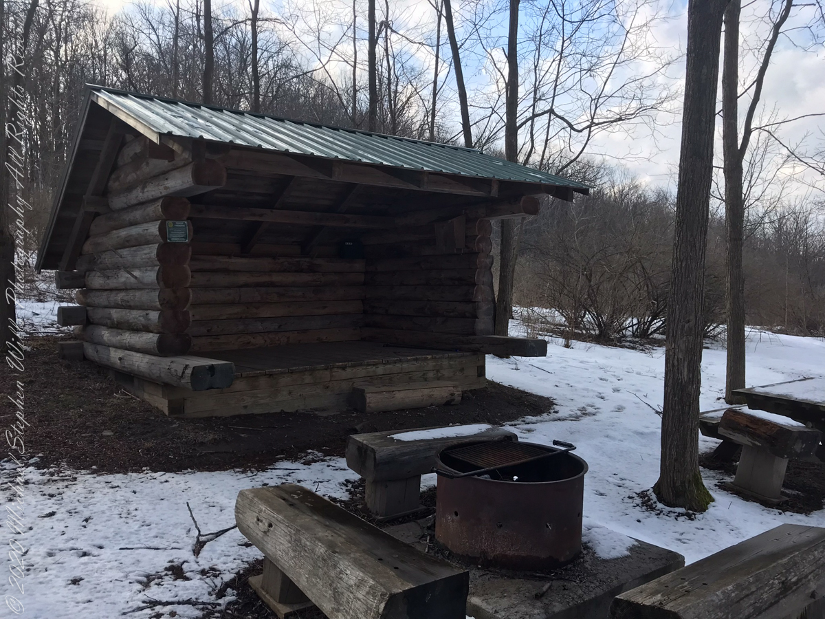
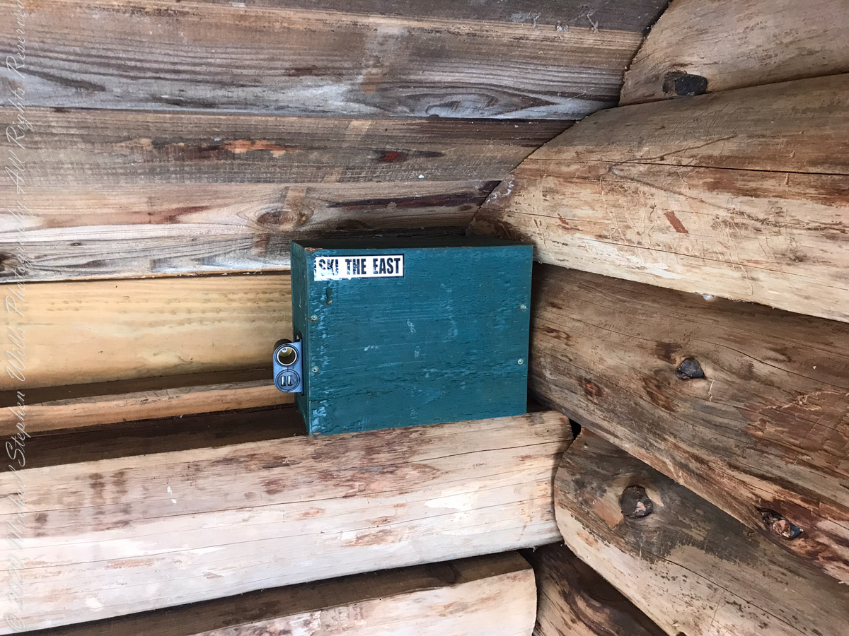
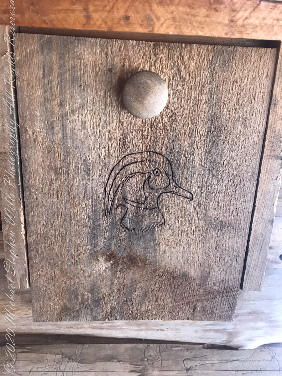
above the lean-topapartment houselean to made from tamarack logs with excellent fire pitsolar powered charging stationdocument box / mouse houseselfie
View from Shelter across the valley of Enfield Creek, the same that flows over Lucifer Falls of Treman State Park
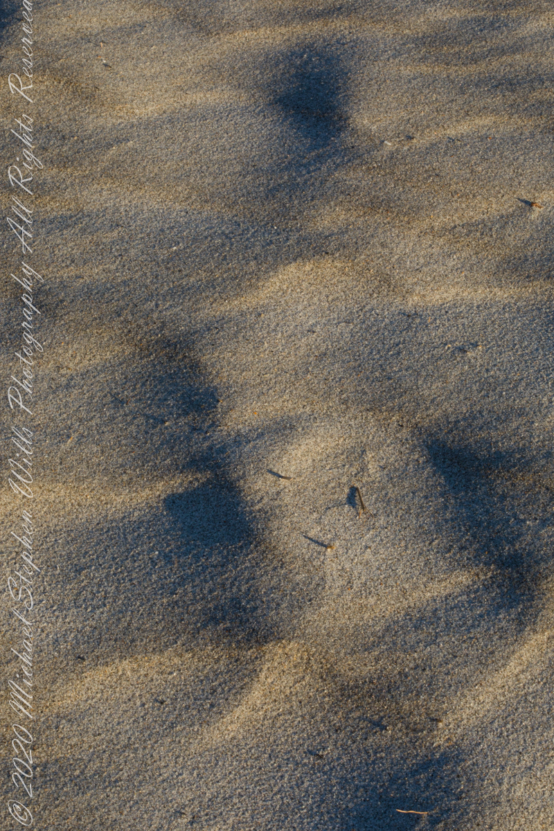
At first glance, Northerners may mistake this for fine snow blown on a bitter wind; but no, this is indeed a north wind, the temperature is above freezing, the material is beach sand. Keeping the sand in place is a concern for Brevard County.
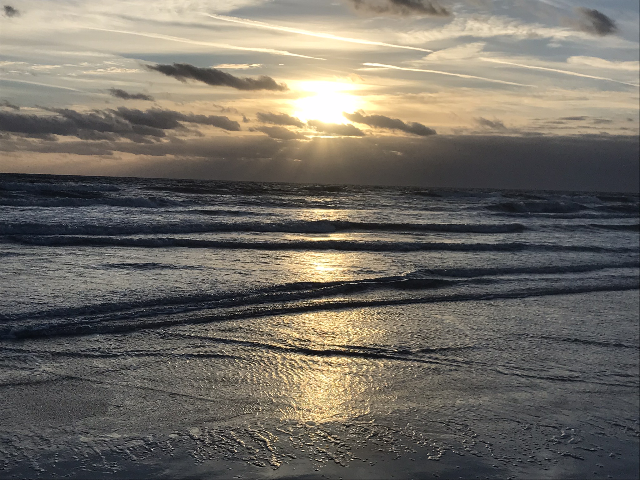
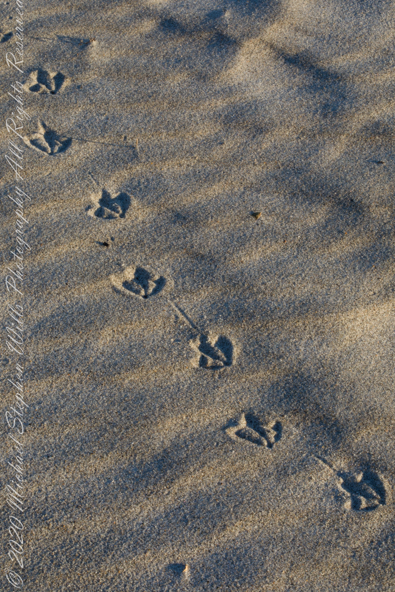
A gull walked through wind textured beach sand, see here in early morning light. Dawn light on beach sand textured by wind, see here in early morning light.
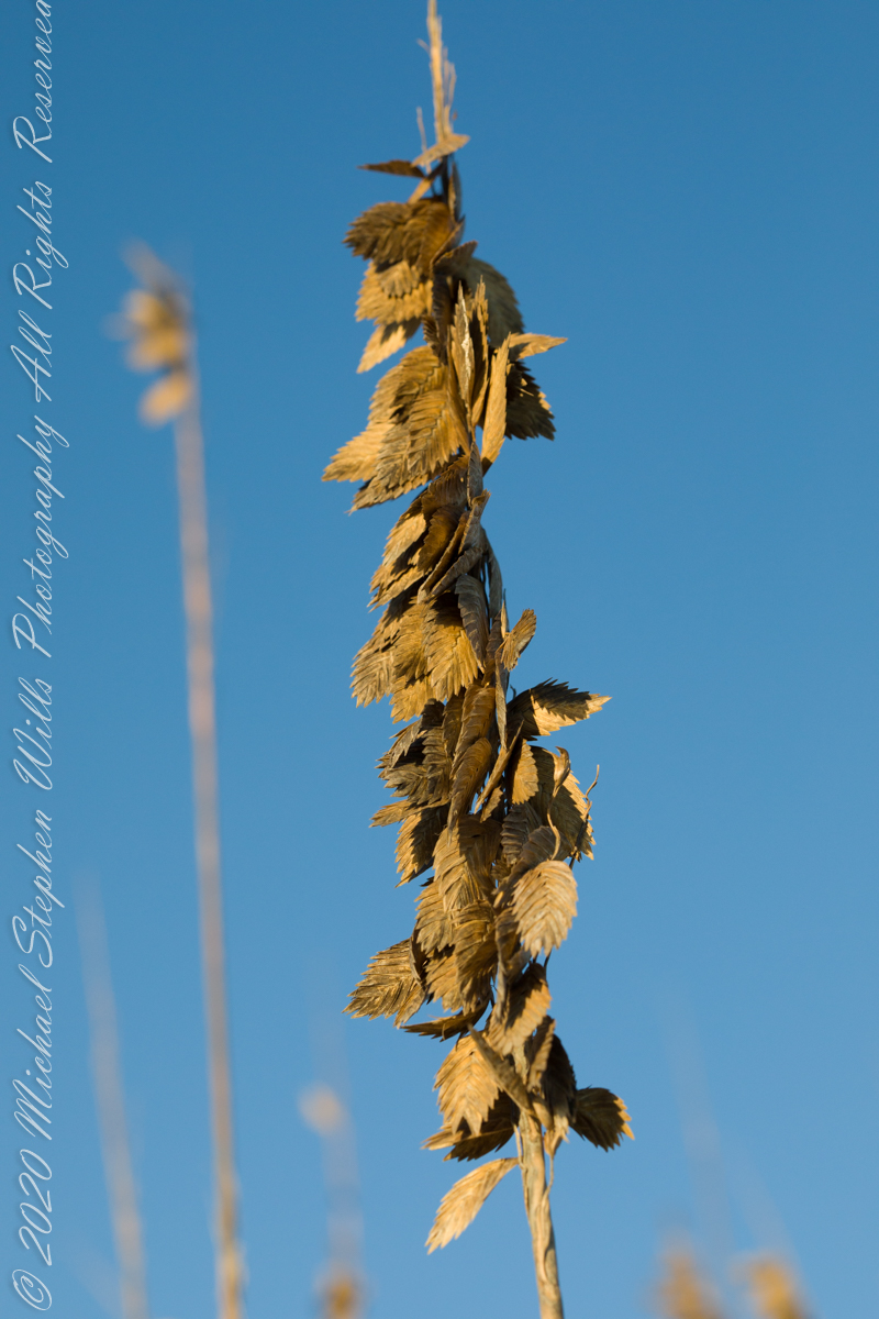
Golden brown infructescences (seed heads) of Sea Oats grass on stalks growing from dunes, seen here in early morning light, are one element of this plant beneficial to the goal of keeping beach sands in place. Tall stalks and broad leaves catch blowing sand. Deep roots hold the plants in place, shallow root systems hold sand in place to form dunes.
Returning after staying away for COVID-19, we found new plantings of Sea Oats by the county.
Planting of Sea Oats.
Copyright 2022 Michael Stephen Wills All Rights Reserved
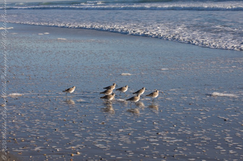
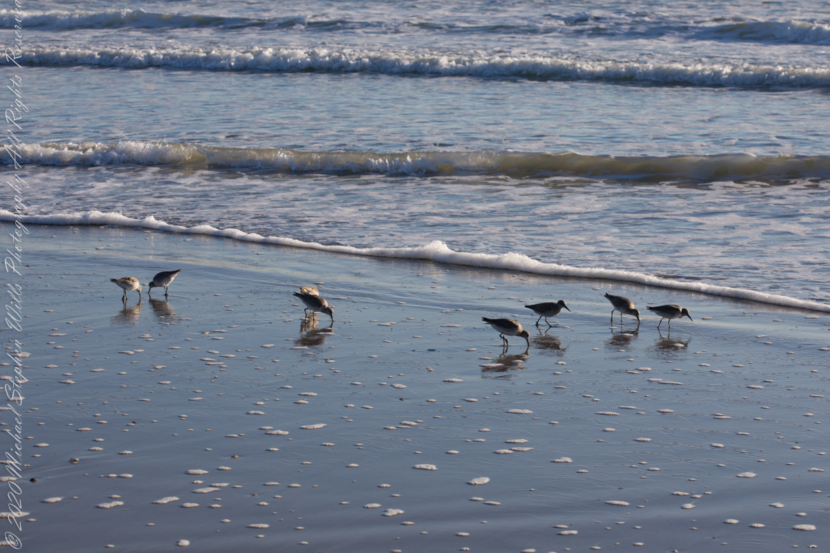
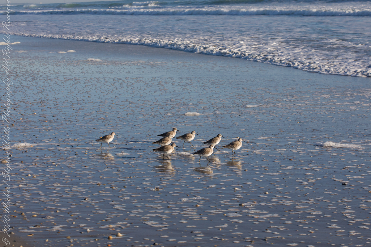
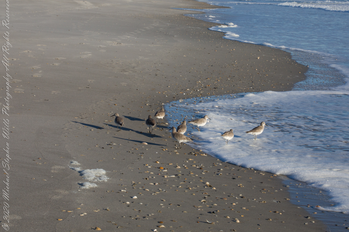
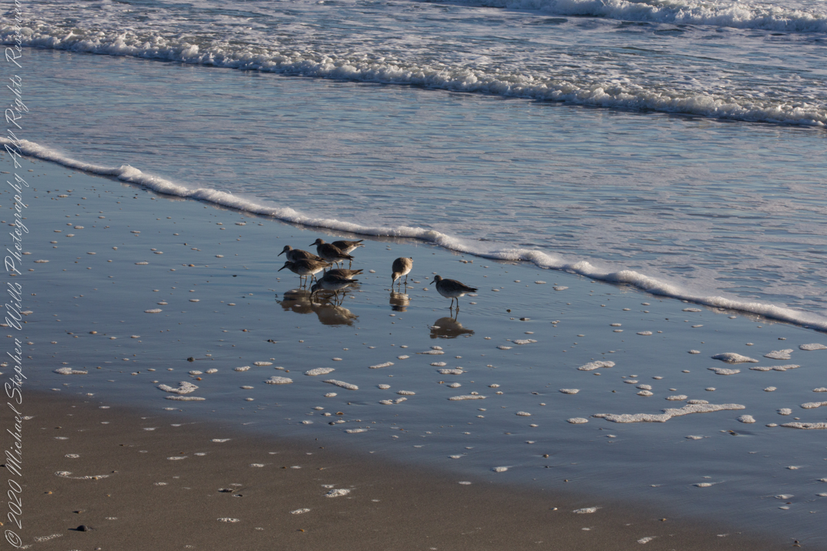
Walking mornings along the beach I encounter, one after the other, solitary sandpipers, called Willets. Before encountering this group, I noticed massed Black Skimmers feeding in the surf and, on the beach, a single, tiny (1/8th of an inch) fish that I scooped up and returned to the surf. My surmise is these several days around the full moon, fish were being birthed and swarming to provide a bounty that brough these solitary Willets together.
Copyright 2022 Michael Stephen Wills All Rights Reserved
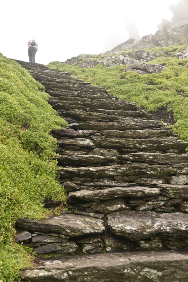
Each of the 603 steps between the Skellig Michael dock and the monastery evoked contemplation, caution, wonder and gratitude.
Contemplation: how did the monks manage to survive while placing the steps? It can only be by a careful division of labor once a survival tripod was build. By tripod I mean the basics food, shelter, warmth.
Caution: as with any steps, for a 60+ person I have learned the hard way falls take a long time to recover from.
Gratitude: for the opportunity, growth and knowledge afforded by travel.
Wonder: every step offered a new vantage and discovery.
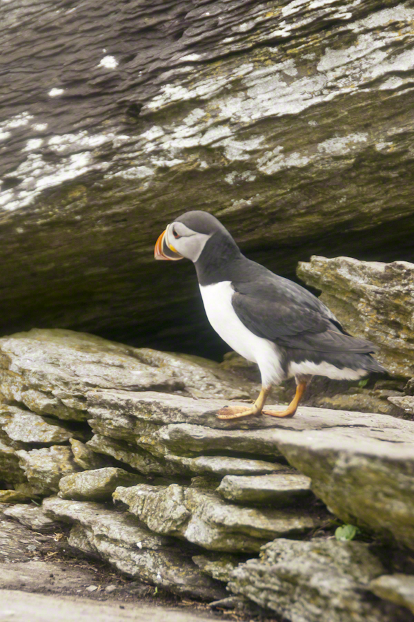
Puffins were on my mind for most of the lower steps being immediately at hand, almost underfoot, constantly. Underfoot, not in a obnoxious way. Underfoot in being right there, unabashed, going about the business of life. Pam and I were lucky, Puffin wise, for the weather. Sensible birds, when the visibility is low Puffins stay close to the burrow, making improvements and socialize with neighbors.
Click any photograph for my Online gallery.
Bad News: Atlantic Puffin populations are on a precipitous decline across Ireland and British Islands. There are talks of a population collapse. Researchers enlisted assistance from wildlife photography enthusiasts with outstanding results released in 2017. The photographs showed parents returning with less nutritious fish. The stress on Puffin populations follows the decline of fish stocks from over fishing. I listed two references at the end of this post.
The disturbing element to our experience was not one of the birds flew in with a catch. On second thought, this is not unexpected. Late May the eggs are laid and under incubation. The individuals in these photographs were feeding only themselves. If we returned mid-June there would be chicks to feed.
Click any photograph for my Online gallery.
Puffin with an inquisitive attitude
Why do we love Puffins? We see reminders of ourselves. The expressive large eyes, over a striking beak and there is something expressive about the birds’ body movements. Don’t you almost know what’s on the mind of this fellow? “What’s going on, over there?”
Click any photograph for my Online gallery.
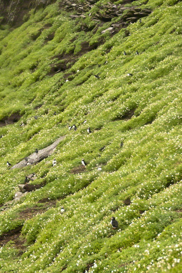
A colony of nesting puffins on a flowering cliff of green.
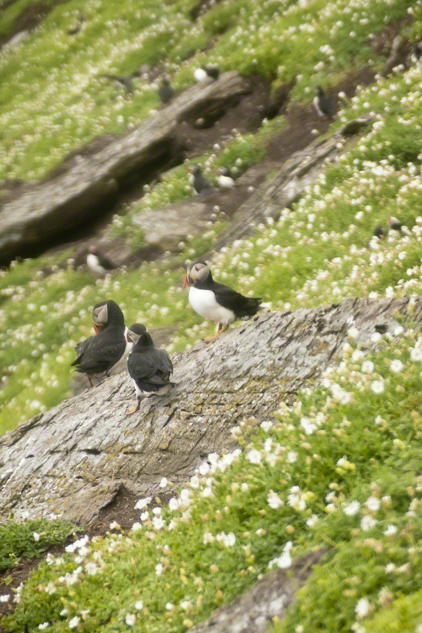
Puffins are small birds, the size of a human hand. This colony returned in late March or early April, each breeding pair claiming a nesting site. The coloring of the beak happens during breeding. The bird molts while at sea during the winter, the beak and other brightly colored facial characteristics are lost.
Michael Skellig puffins in social setting on cliff with burrows and flowers.
Puffin sexual differentiation is unique among birds. The coloring and markings are identical between males and females. Males are somewhat larger than females is all.
Click any photograph for my Online gallery.
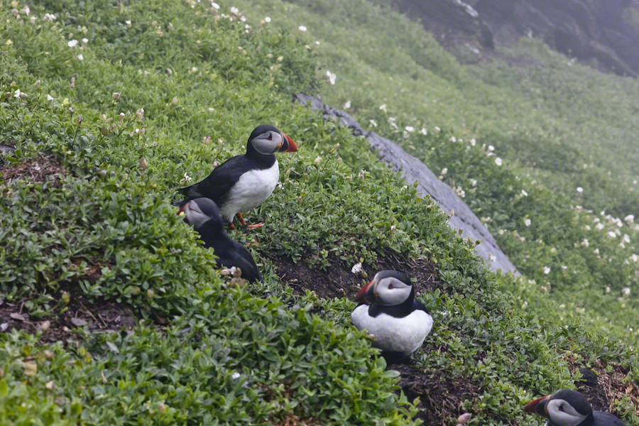
Soft soil covering the flanks of Skellig Michael is the site of age old Puffin colonies.
Here is Puffin nesting behavior up close. I did some research on the flowering plants surrounding the burrows and am not sure. I believe the white flowers are a mixture of Sea Campion and Sea Mayweed.
As far as my photographic technique. There are two sets of Puffin shots from Skellig Michael. For the the walk to the top, the monastery site, I used the lighter Sony Alpha A700 dslr with a Sony variable lens, DT 18-200 mm F3.5 – 6.3. On top, I switched to the Canon EOS 1Ds Mark III and, for the descent, fitted a Canon EF 200mm f/2.8L USM lens.
The shot above and following are the Canon, taken on descent. Prior shots are the Sony, taken on ascent.
Click any photograph for my Online gallery.
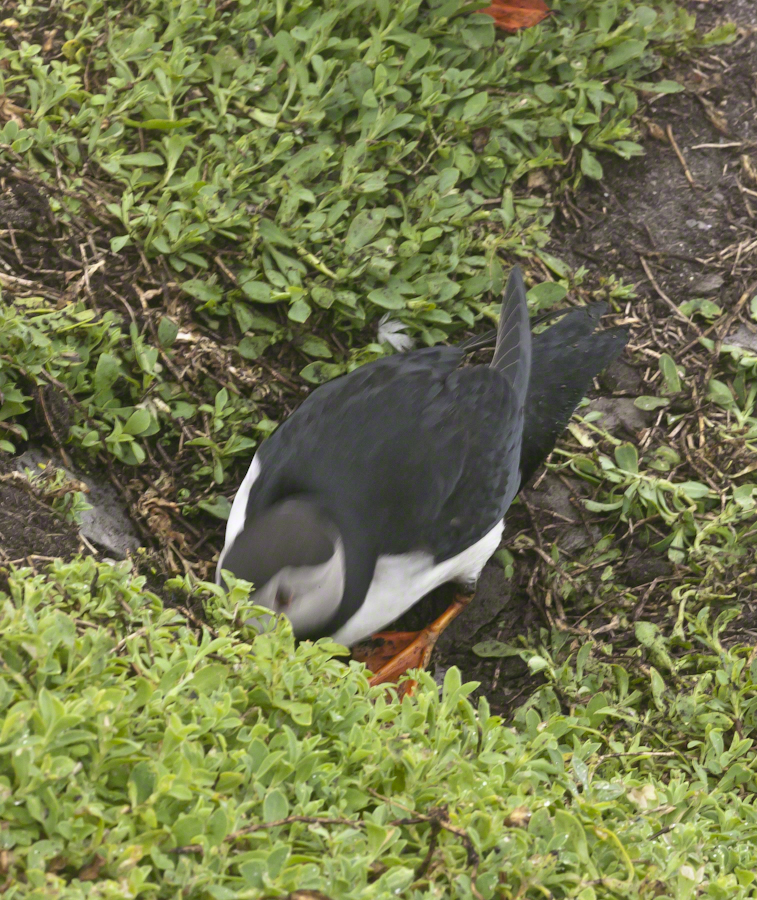
Puffin Entering Burrow
Puffins have striking black and white plumage and leg color some describe as “tangerine.” Tangerine? I guess. Here an individual ducks into the burrow.
Click any photograph for my Online gallery.
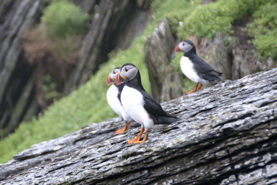
A grouping of Michael Skellig puffins, the foremost with an attitude of regard.
I did not spend a great deal of time in any one spot, being time limited and needing to get back to the boat. Don’t recall very much social interactions between individuals, other than this perching together on the rocks. The foreground Puffin seems to take the behavior of another bird to task.
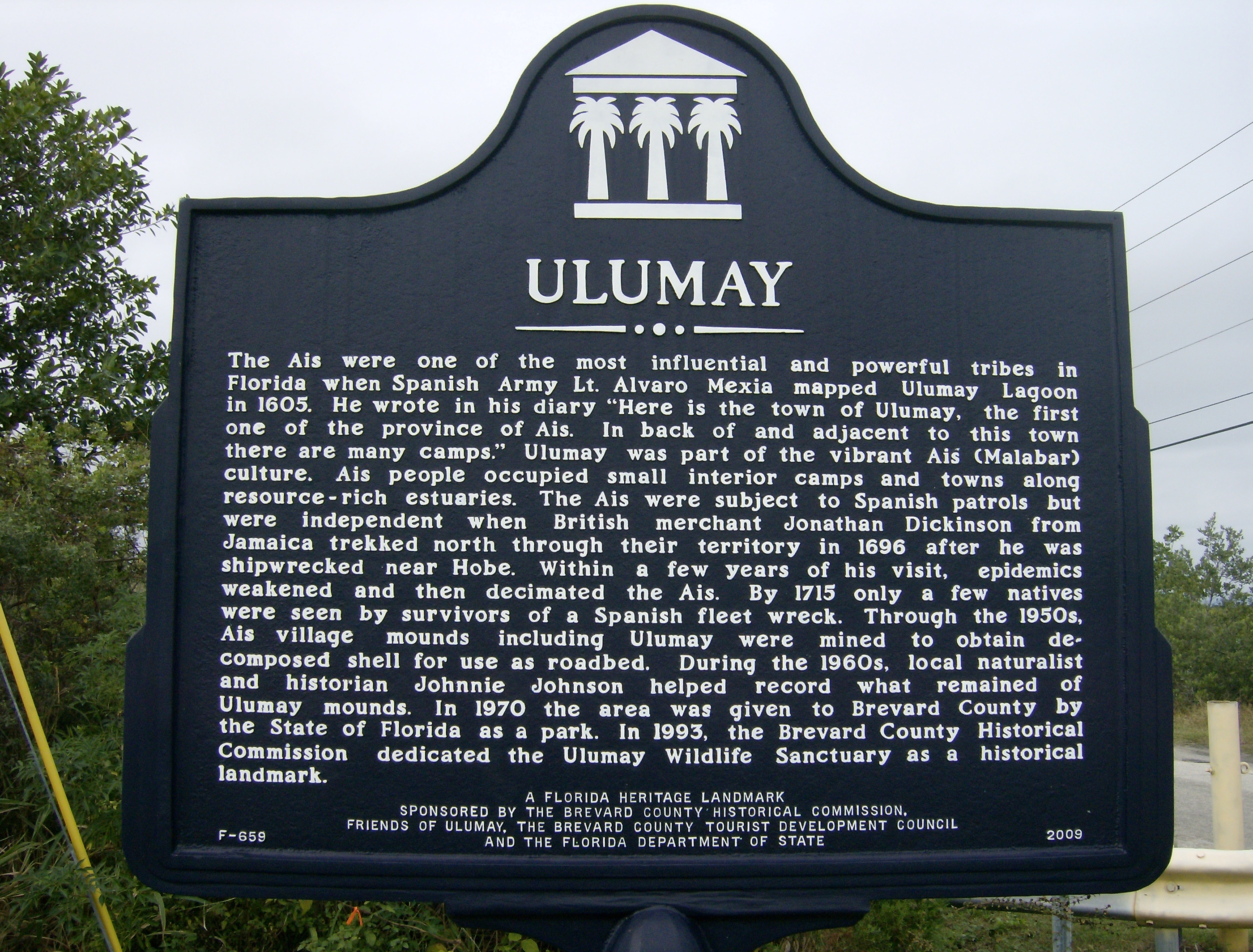
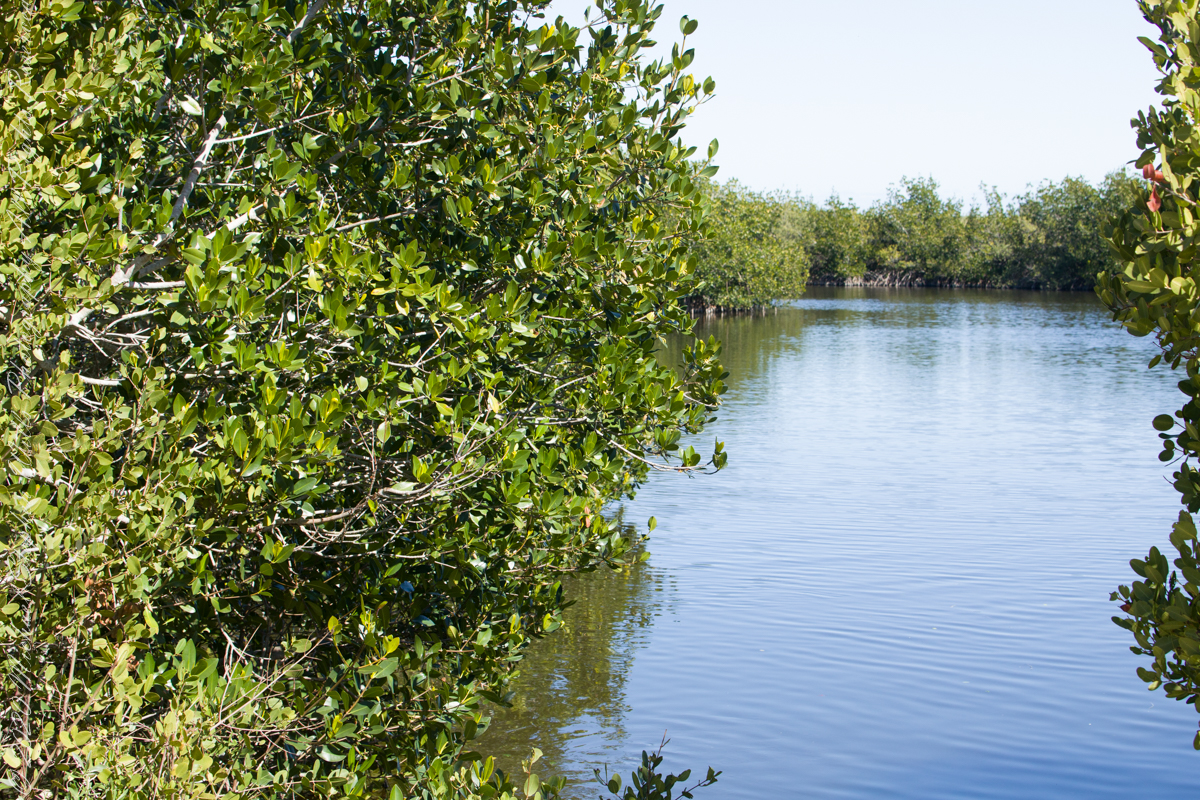
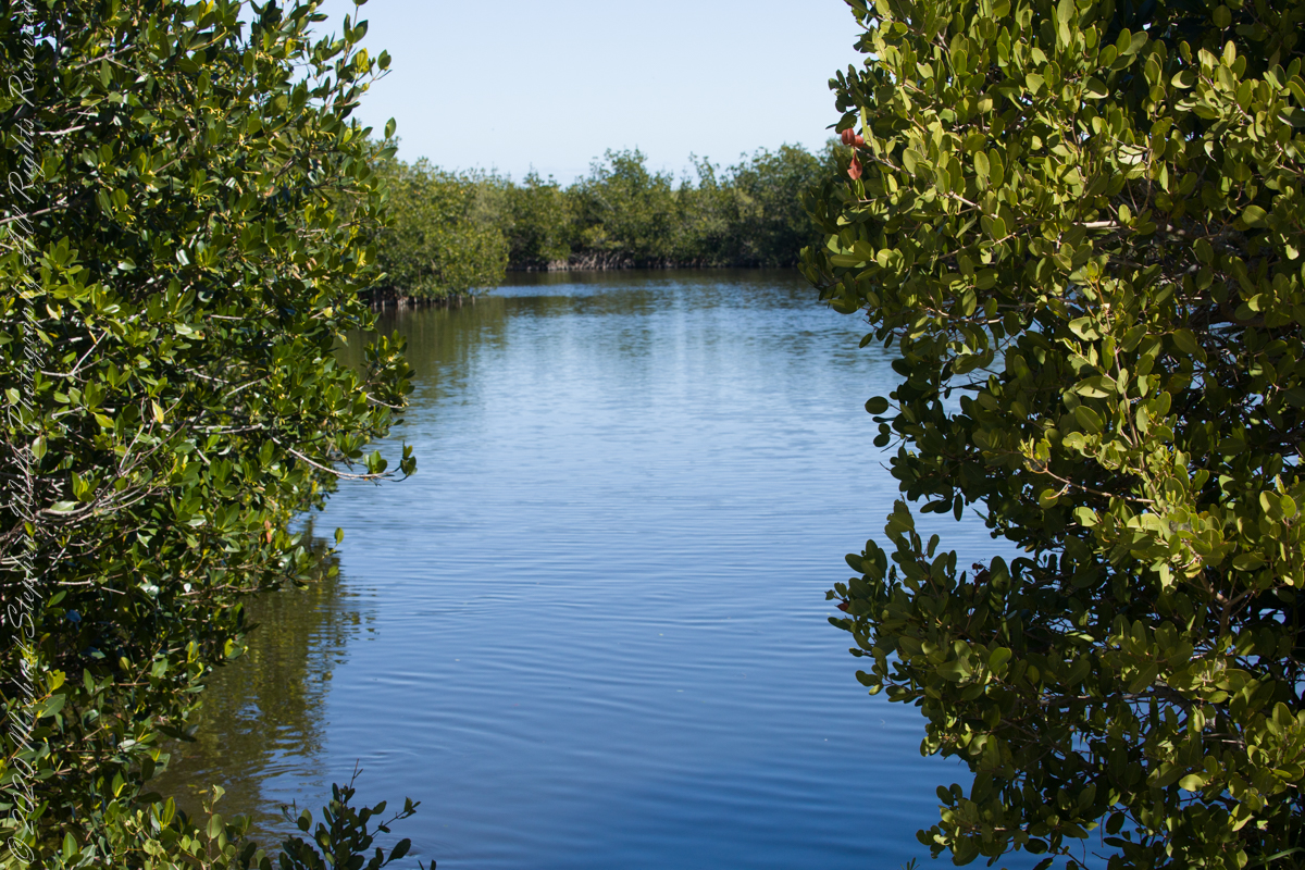
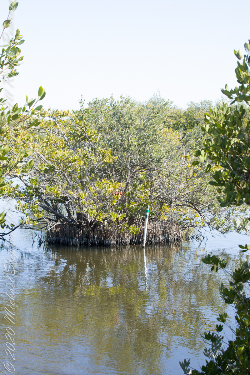
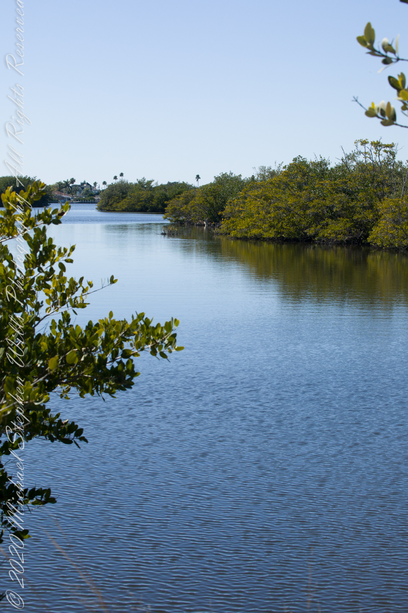
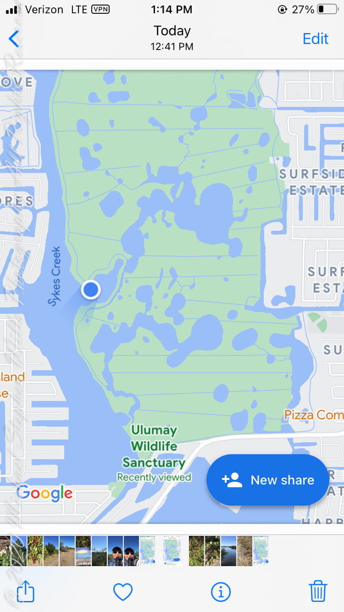
Ulumay is the name of the Native American settlement of the Ais people decimated by disease after the arrival of Europeans. The park is a natural lagoon and bird rookery linked with canals created for mosquito control and surrounded by a manmade dike. A trail on the dike provides access to the waterways for the fisherman, birdwatchers, and paddlers.
Ulumay Marker just off Sykes Creek Parkway
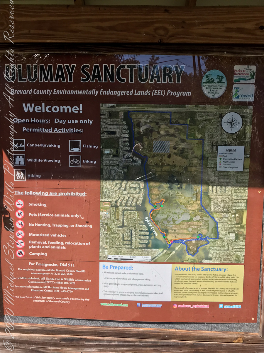
This informative placard, placed at the entrance. Note the 600 park acres is surrounded by residential properties.
I left Pam at the entrance, seen below at the words “Ulumay Wildlife”; she had a reasonable concern about alligators. It is quite possible to find a large specimen blocking the one and only trail. “What? Me Worry?” When pursued by an alligator, remember to zig-zag.
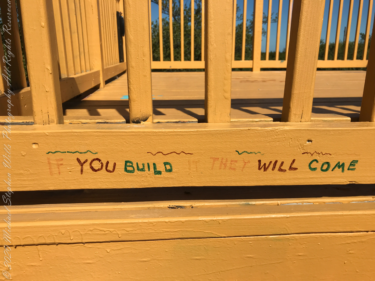
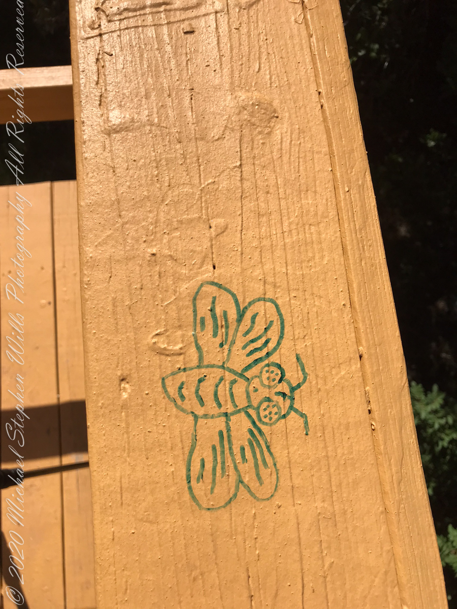
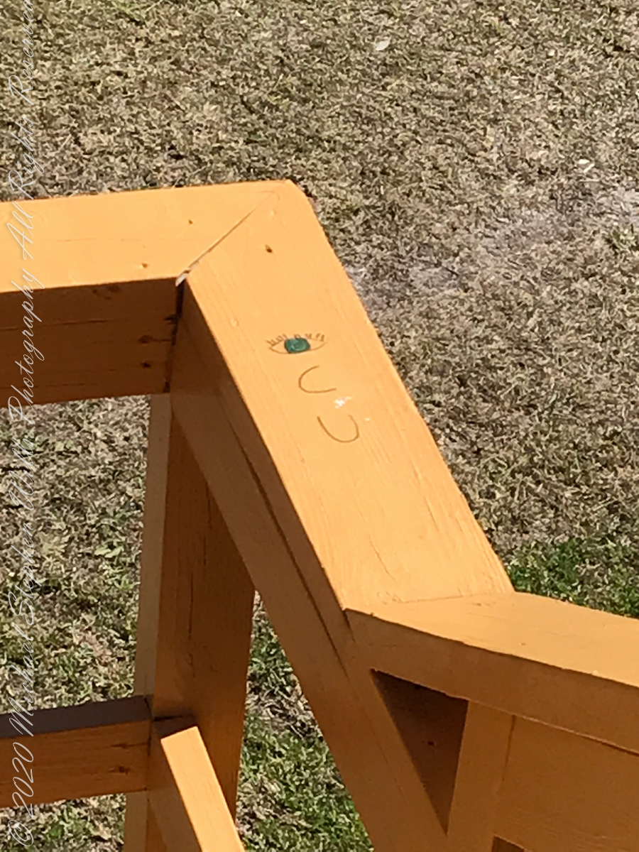
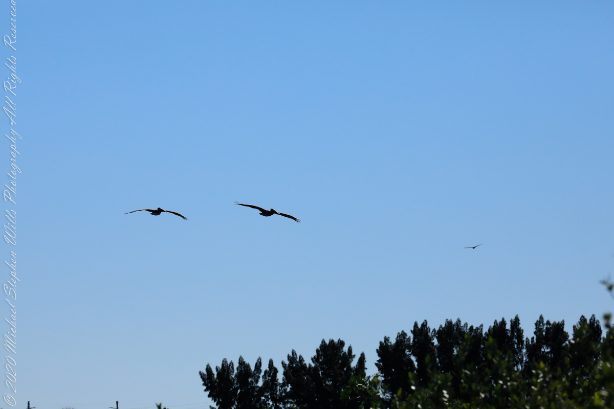
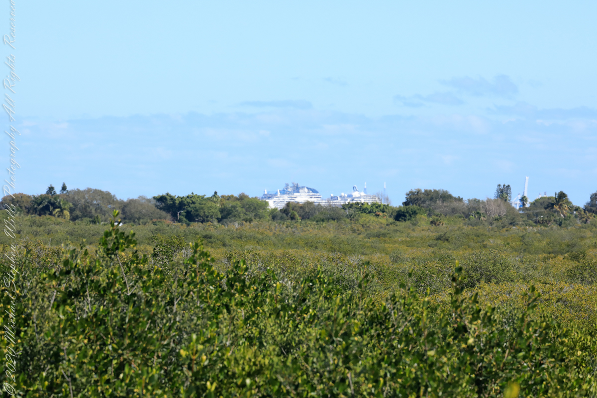
Path along the dike, thick vegetation on both sides generally limits the view.First StandView from standMemorial“If you build it….”Insect Repellant Advisement“I see you”PelicansCanaveral Cruise Port across the Banana River (really a lagoon).
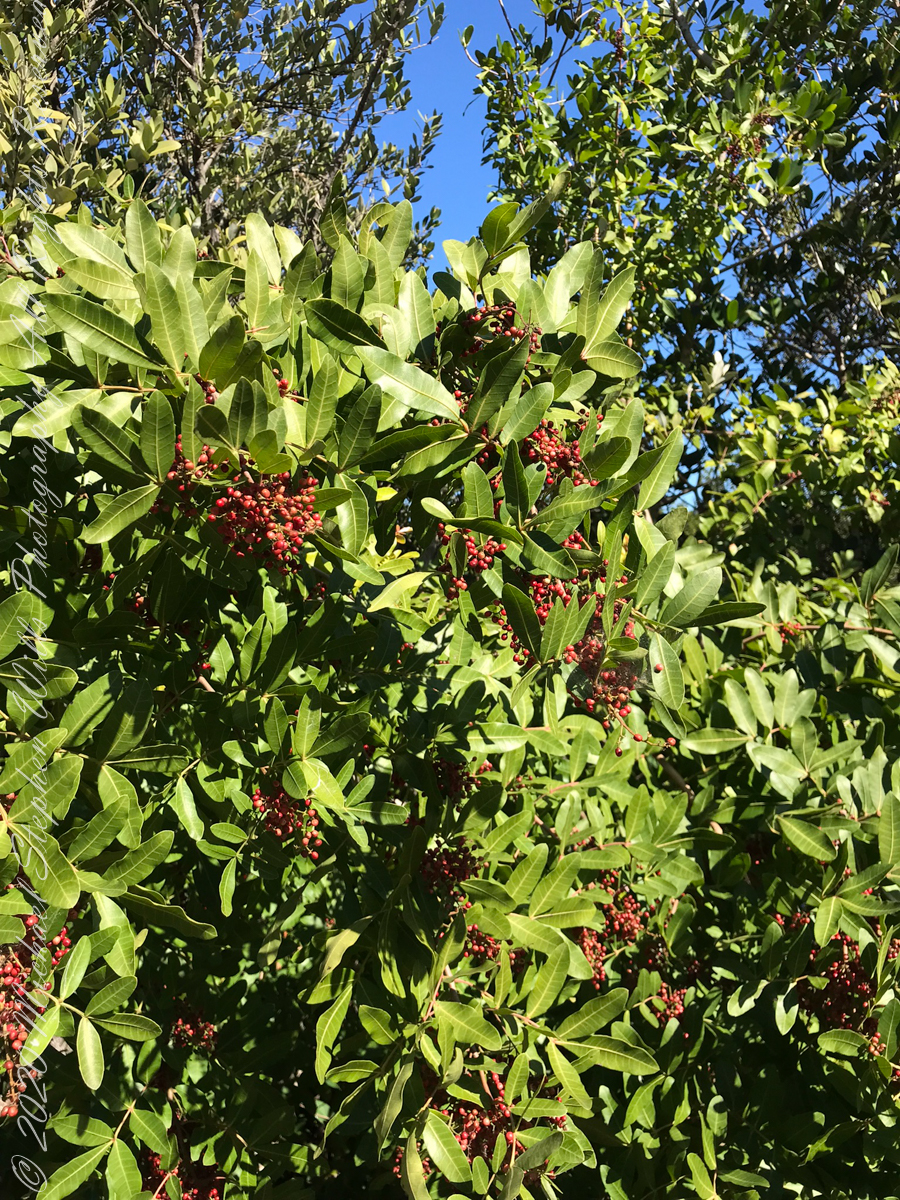
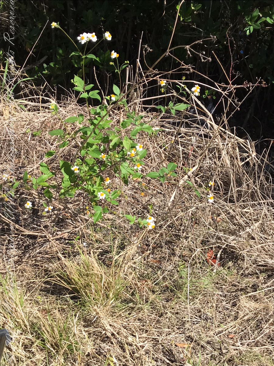
“Flora and Fauna”
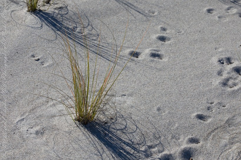
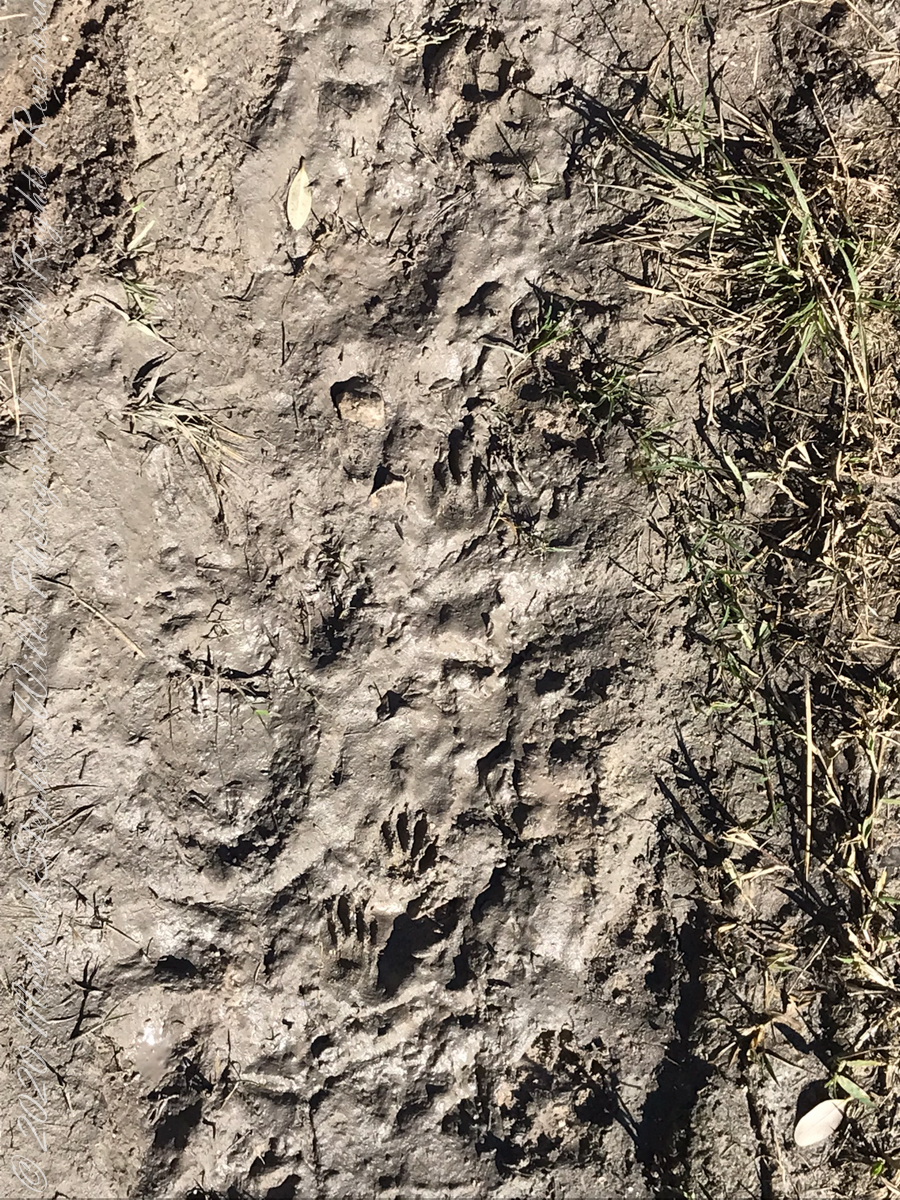
Raccoon Tracks
Waterways, sightings
Second Stand
Osprey with catchI see You
Third Stand
Location of third standCivilization across Sykes Creek (really a lagoon).
No sightings of alligators or manatees.
Copyright 2022 Michael Stephen Wills All Rights Reserved
Thinking about the Aran Islands for my posts, “Killeany Bouy” and “Inisheer Welcomes the 2014 Gaeltacht Irish Football champions” brought me back to Isla Mocha.
Herman Melville’s thoughts were in and around this island off the central Chilean coast when he penned “Moby Dick” in the mid-nineteenth century while sitting in the city of Boston. He was brought Moby Dick not only by his own experiences on a whaling ship, almost certainly Melville owned a copy of Jeremiah N. Reynolds’ “Mocha Dick: Or The White Whale of the Pacific: A Leaf from a Manuscript Journal,” an true-life account of adventures around Isla Mocha. Sometime around 1810 Reynolds personally experienced encounters with Mocha Dick after the crew of an Antarctic expedition mutinied, stranding him at Valparaíso, Chile where he remained for two years.
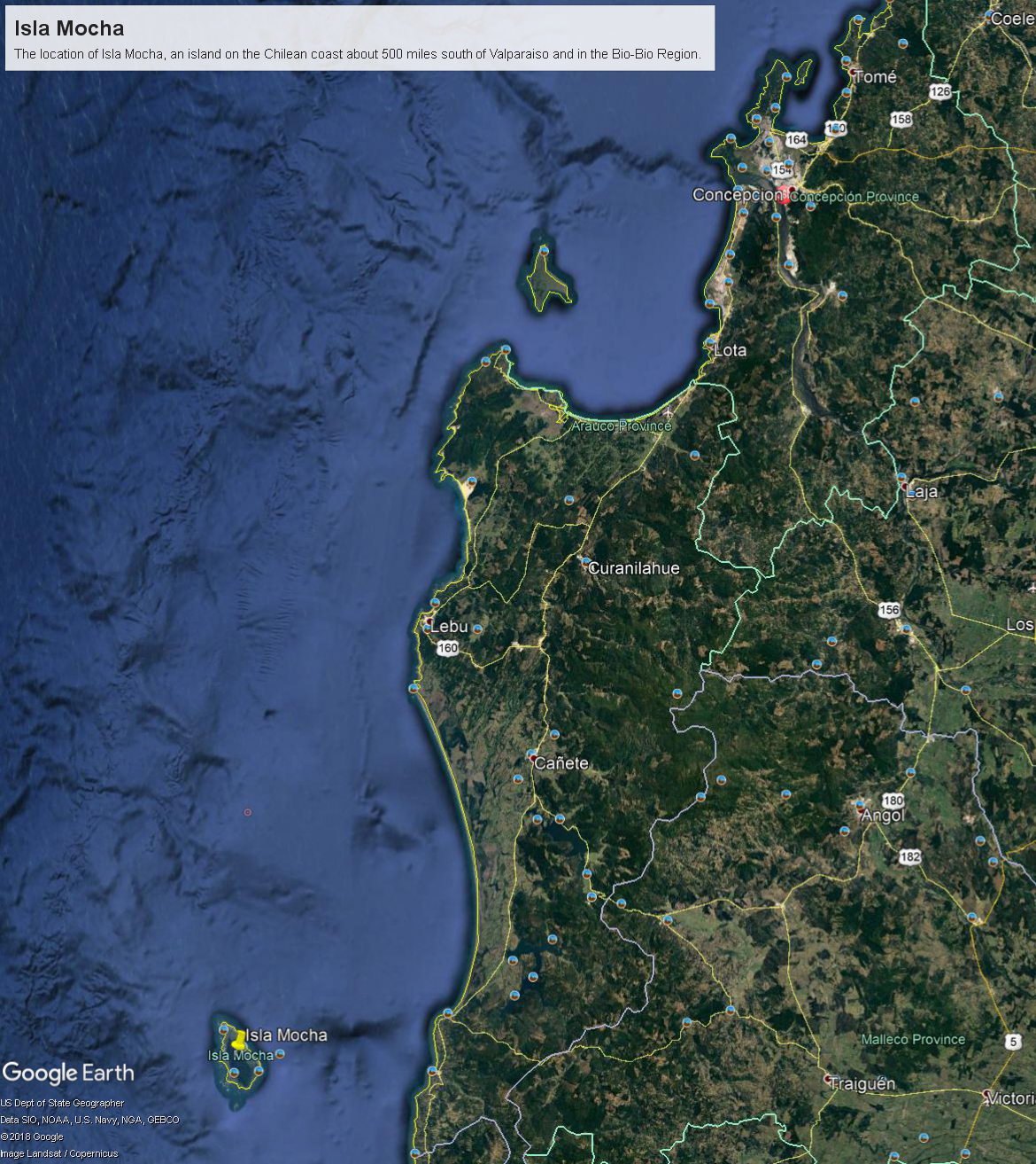
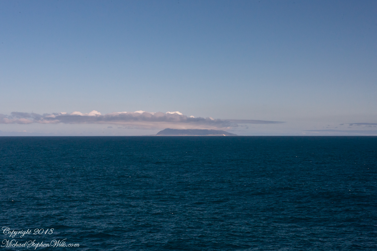
Located 38°21’45.62″S, 73°55’6.91″W, around 8 miles in size north to south, 3.5 miles east to west Isla Mocha is surprisingly simple to find. A ridge of mountains run the north south axis, just 20 miles off the coast, a ship following the coast will find it easily, as I did from the balcony of the Oceania Regatta during a “sea day” of travel between Valparaiso and Puerto Montt.
Since waking that day I was on the lookout for Isla Mocha. In preparation for our month-long cruise around South America every mile of our itinerary was scoured for interesting sights, experiences and information. When I first learned of Isla Mocha (Mocha Island in English) and the connection with Melville reading about it in Boston, just as I was in Ithaca, one of my goals for that day was to catch sight of Isla Mocha as it rose from the horizon.
My goal was made easier for the cloud formation from the island mountains. Here is my first photograph, taken from our balcony on the port side. I chose the port side just for the landward view as the ship progressed southward on the western coast of South America. The Canon EOS-1Ds Mark III was tripod mounted with an EF 70-300 f4-5.6L variable lens set to 70 mm. We are northwest of the island with the coast just visible.
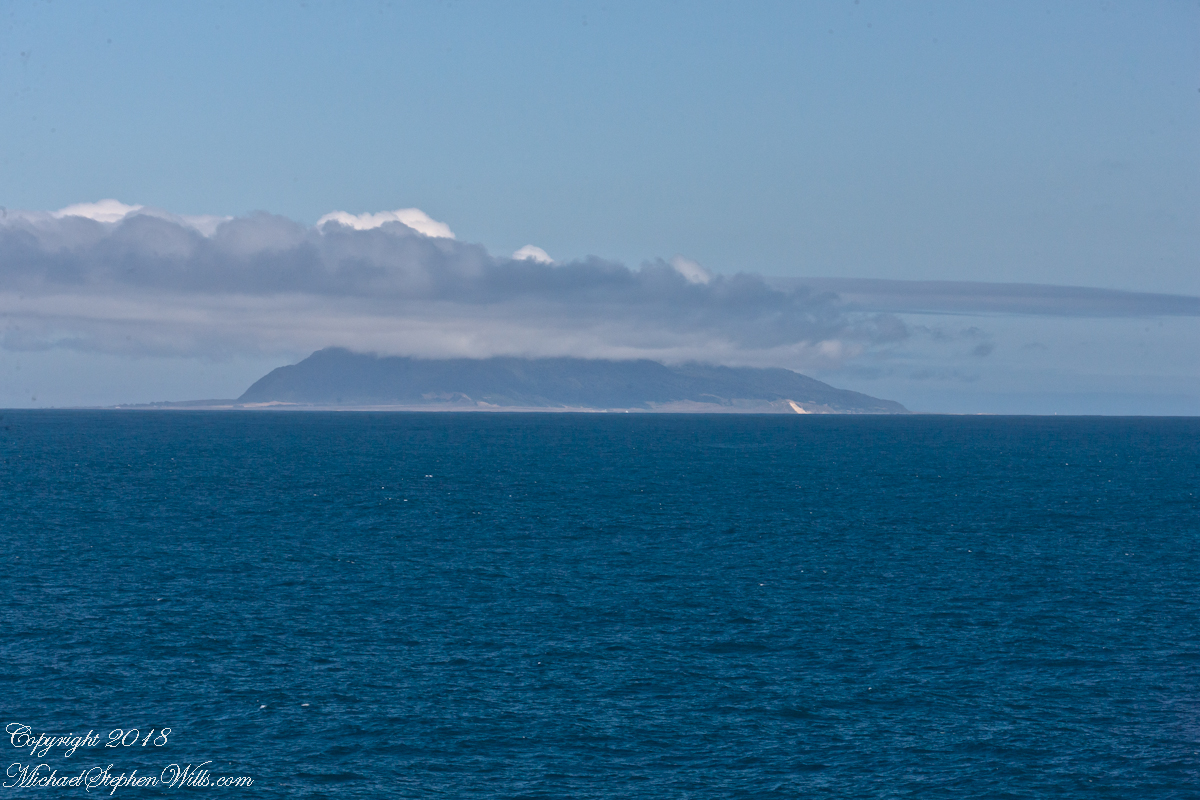
Another view with 188 mm focal length. The ship must have turned eastward, as the view progressed the island came closer. It was a fantastic thought to cruise above the subduction zone where the Nazca plate dives beneath the South American Plate. In the distance, on a clear day, the volcanic cones Villarrea and Quertrupillan are visible.
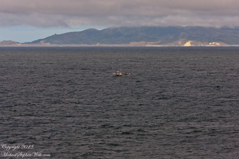
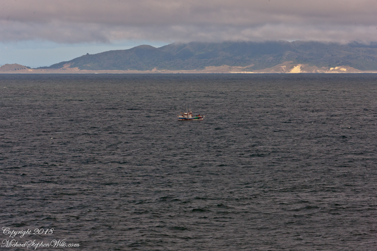
With the island due east, only a few miles away, the lens at 221 mm focal length. A fisherman is having an easier day in a calm sea. The indigenous people told stories of the souls of the dead travelling west to Isla Mocha. Pirates used the island as a resupply base. The fishing boat was the only sign of life.
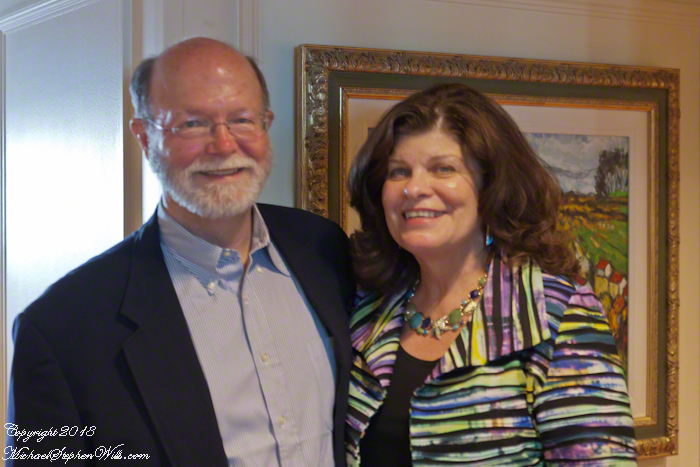
That was February 14th Valentine’s Day. With Isla Mocha passing into the distance I changed for an evening with Pam. Here we are headed to dinner, somewhere off the coast of Chile’s Lakes (and volcano) region.
The Whitehouse Ruin of Canyon de Chelly is just visible at left in the far cliff, in the notch of the near cliff. The ruin trail is visible on the canyon floor. Notice the road following the canyon and the plantings with house on the right.
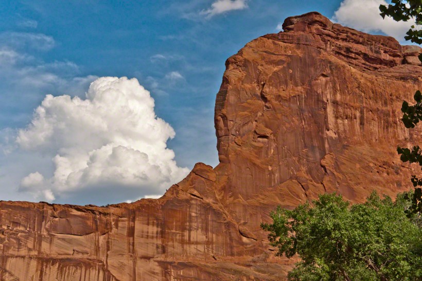
The landscapes I capture, like the face of a missing friend, fade gently from memory. My piece “Moon Fin Canyon de Chelly” became a mysterious vision. I remembered the context, the canyon topology was lost until I constructed the panorama, above, from three shots taken one evening, July 2008, from a cliff near the White House Overlook. Five years after my visit with Sean Wills, Pam and I returned to Canyon de Chelly to walk the same path.
At that time, a 50 mm lens was my widest angle, so I would take multiple images in sequence and use Photoshop later to construct a panorama. This past Sunday afternoon I spent stitching together my work from 2008. In doing so I see “my fin”, in the center, bordered by the canyon road, is attached to the White House Ruin cliff via a thin ridge.
During that session a photogenic thunderhead, lit by the evening, hovered behind the fin as the gibbous moon did that long ago evening.