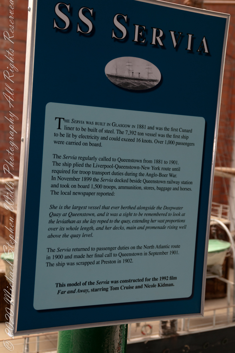
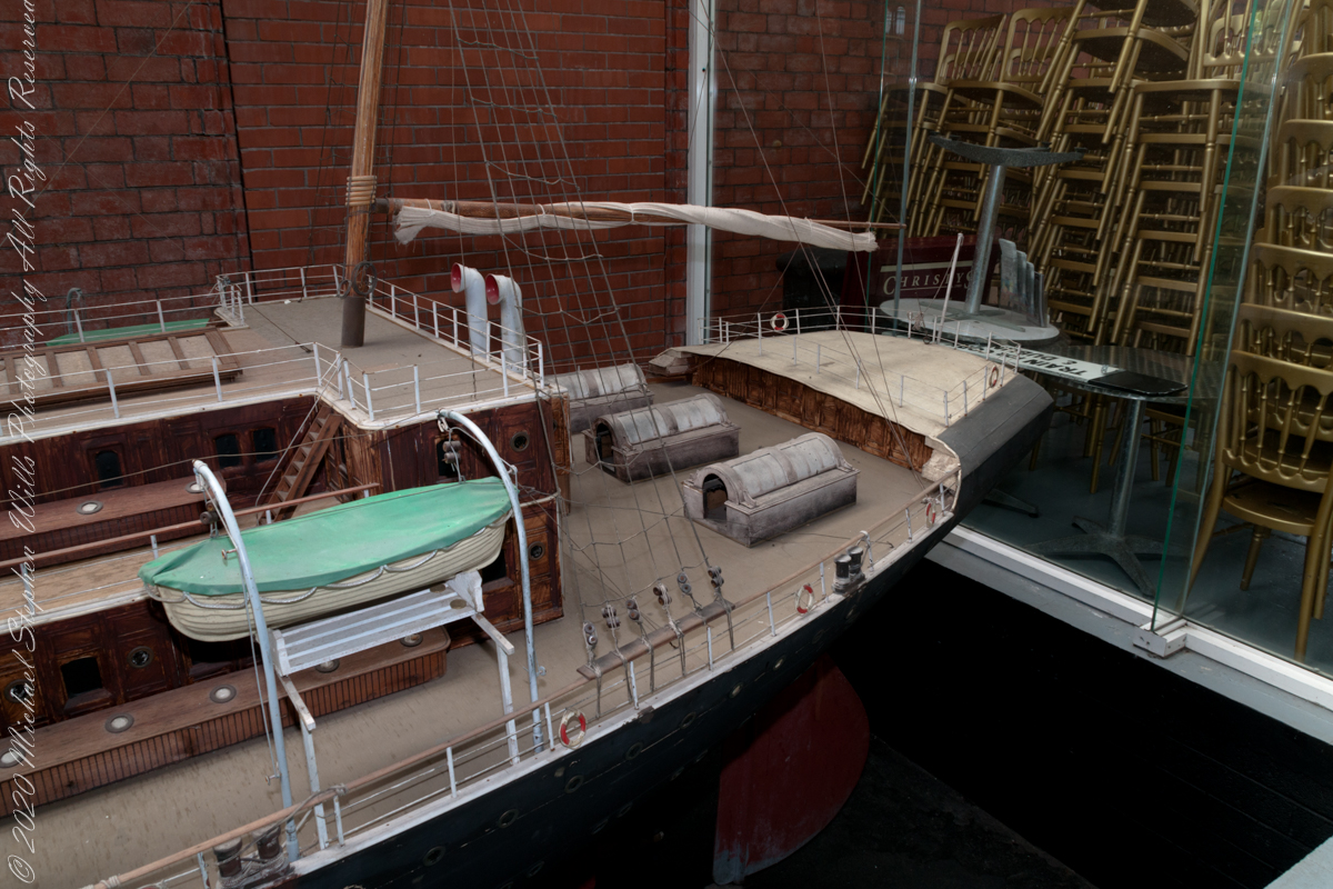
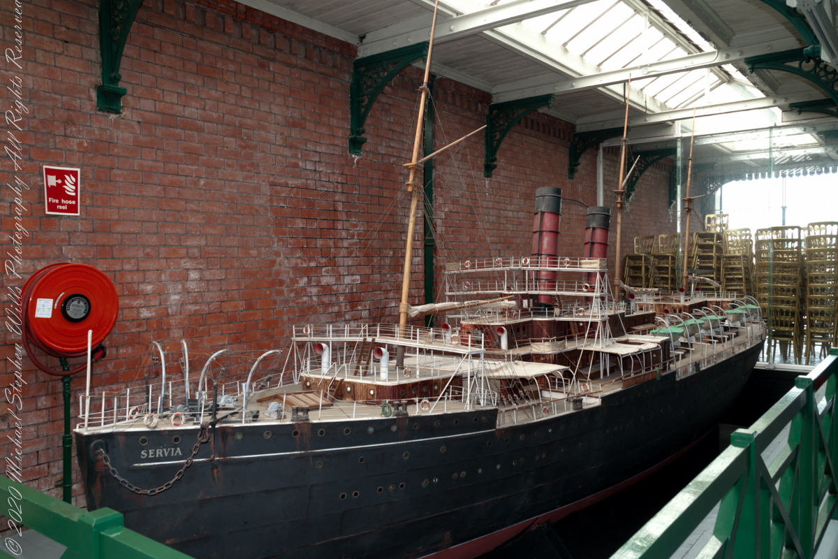
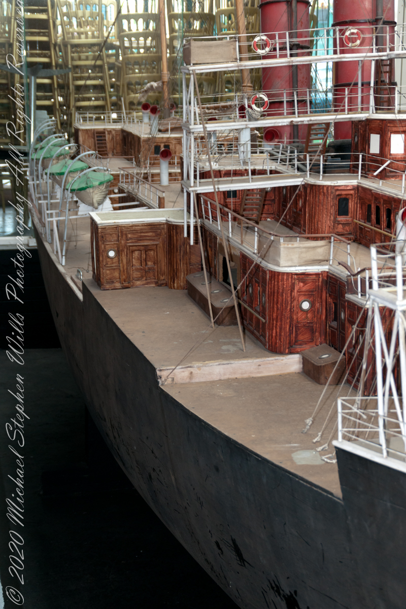
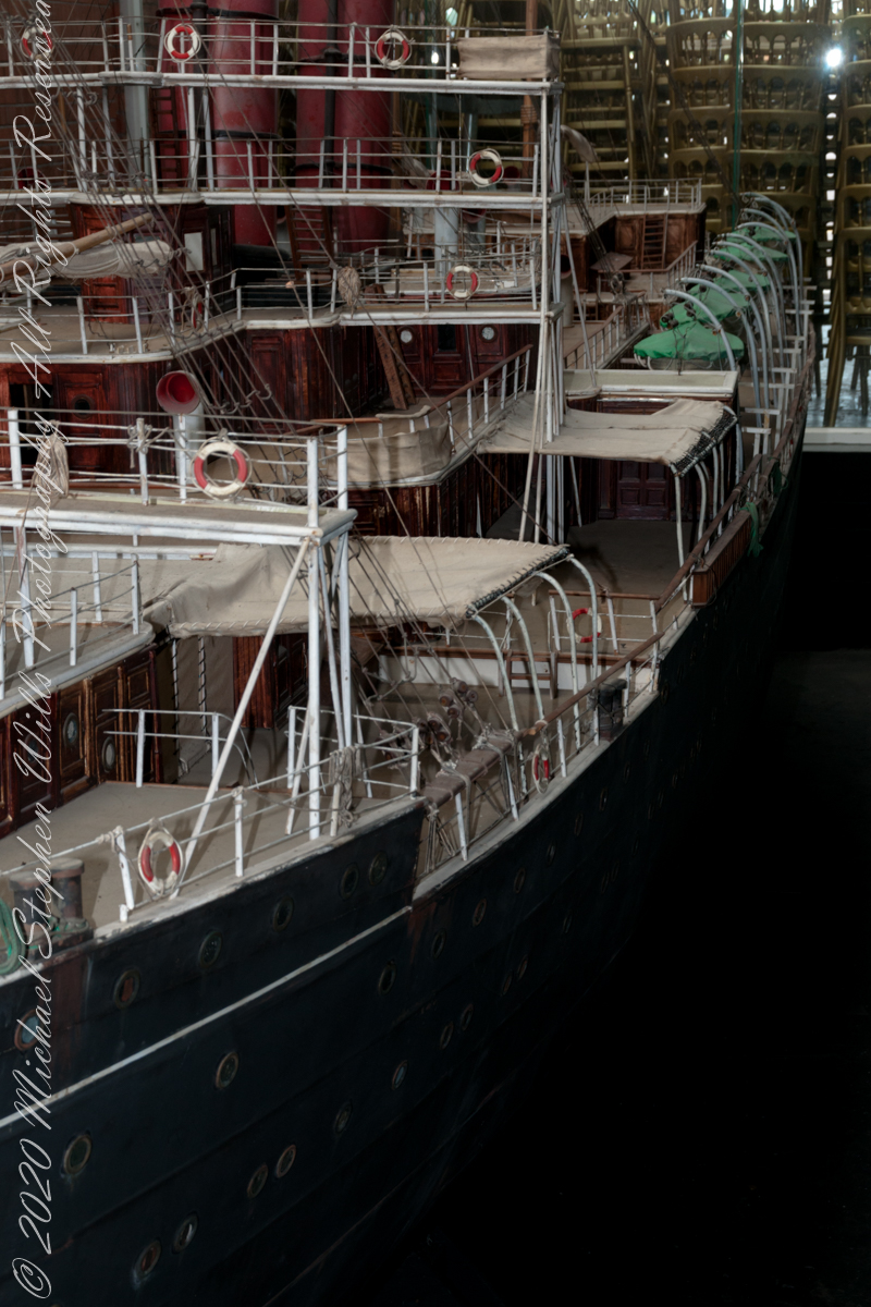
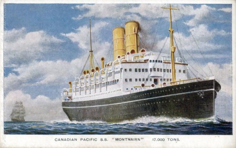
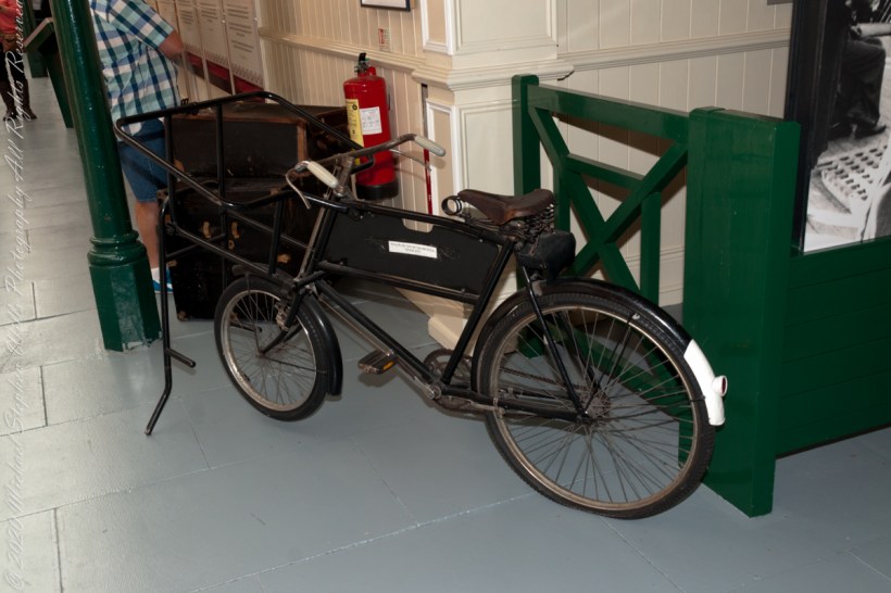
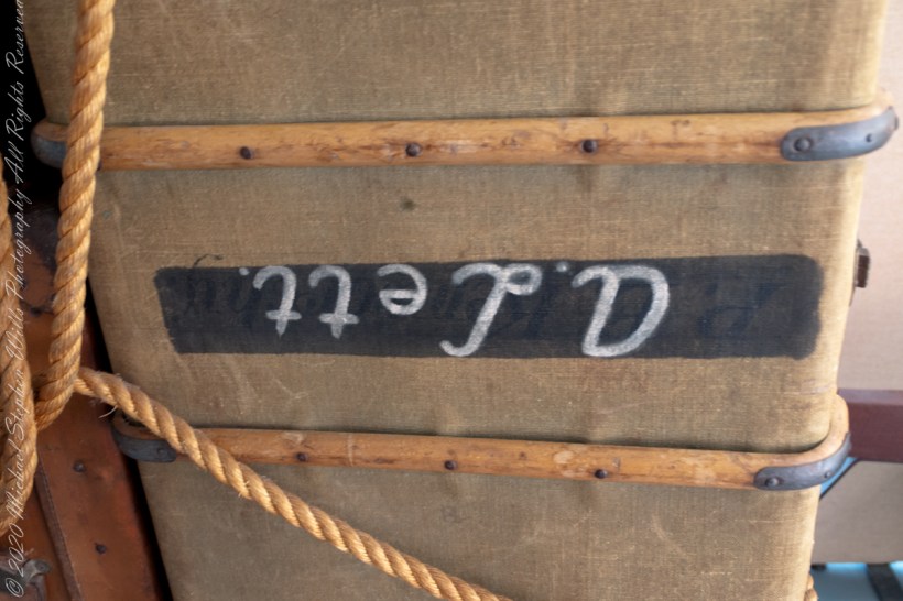
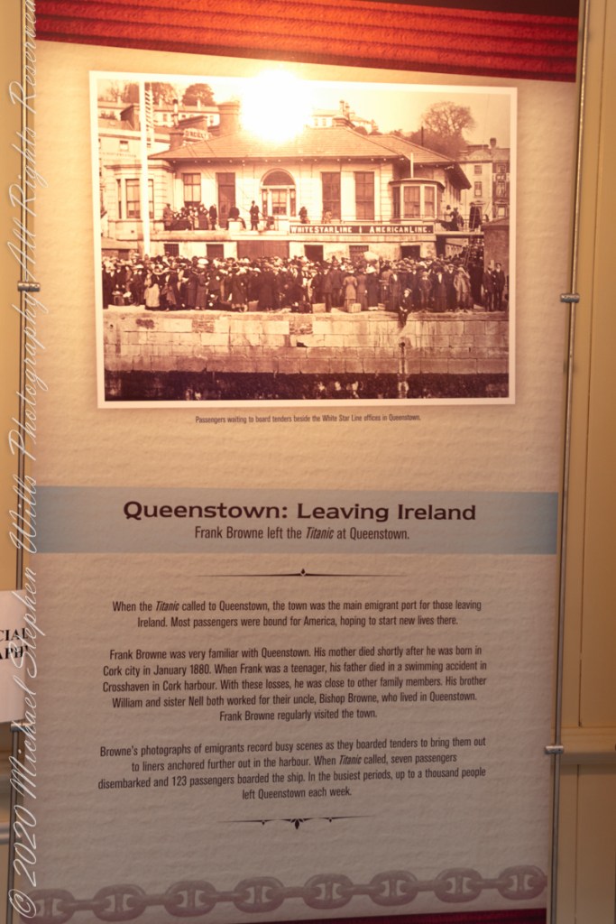
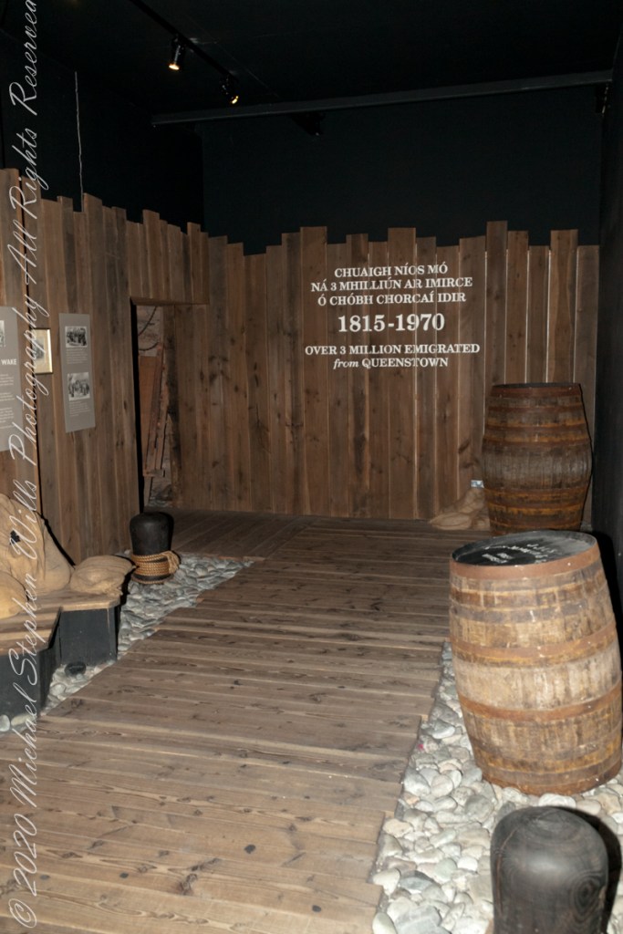
Continuing from the “Queenstown Glamor” of the SS Servia these are exhibits of what it was like to emigrate from Ireland in the 19th century.
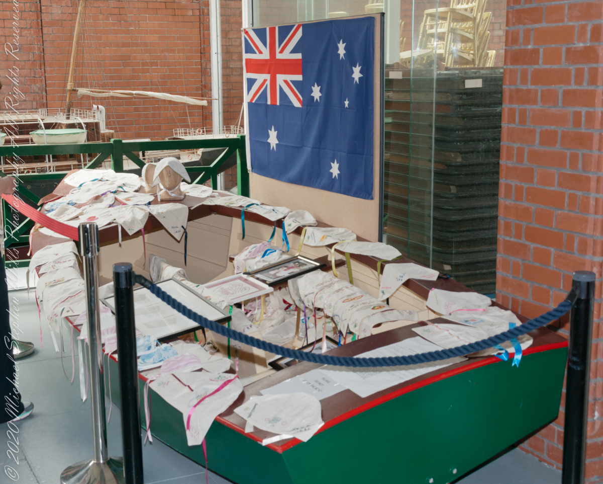
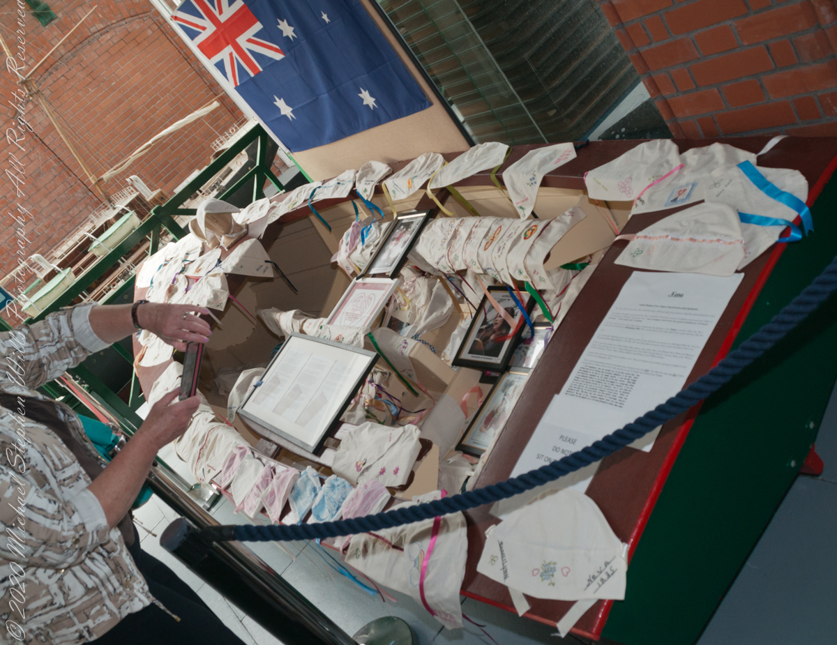
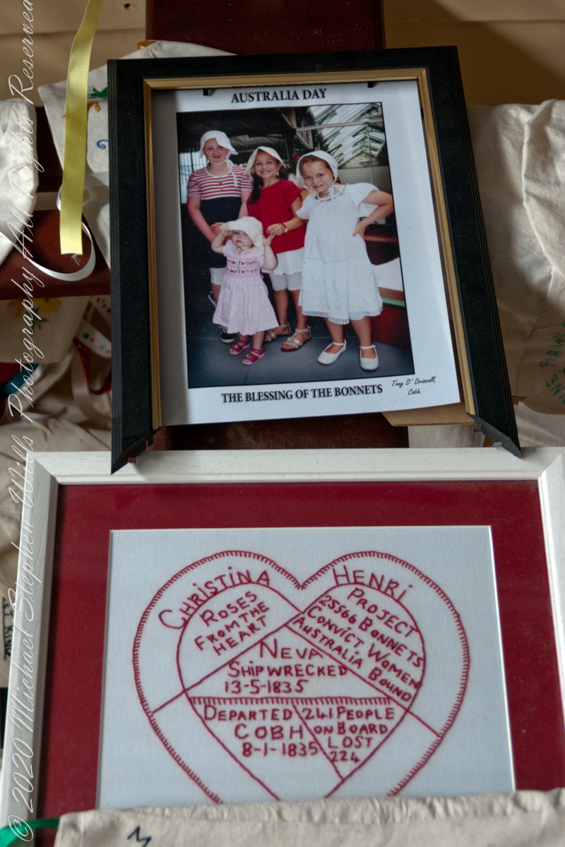
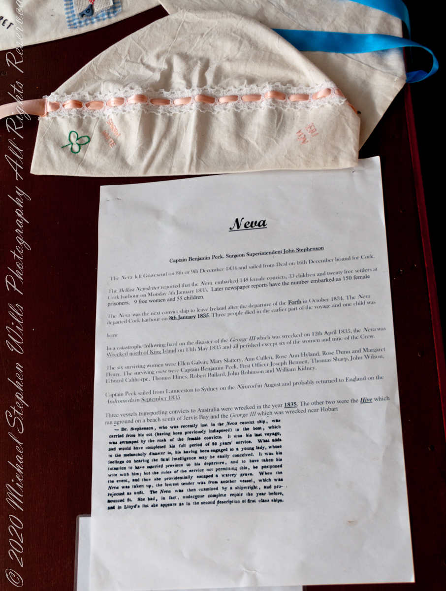
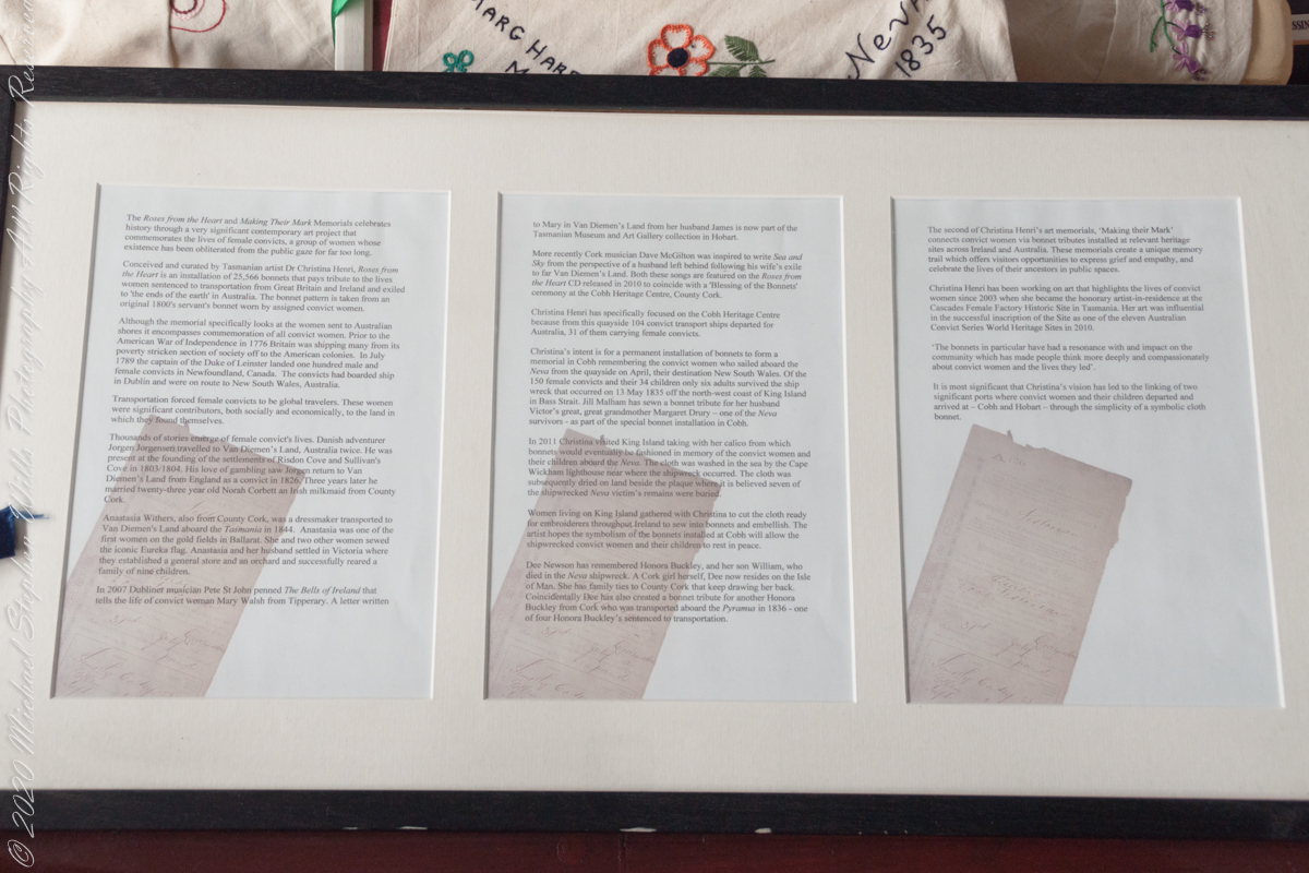
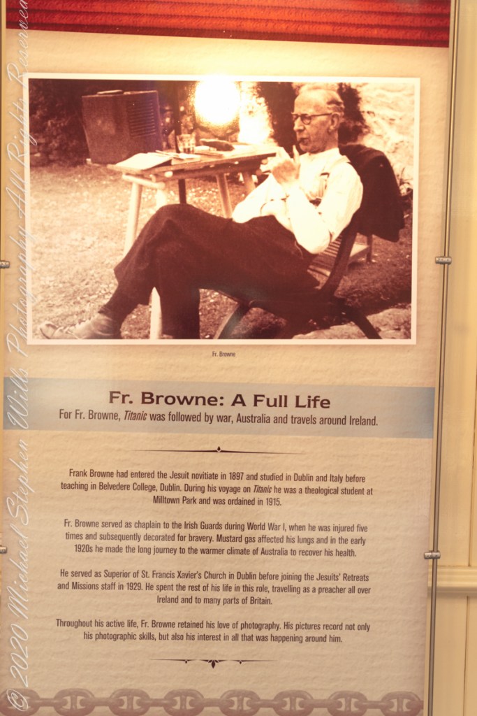
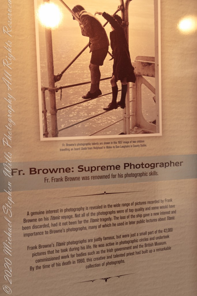
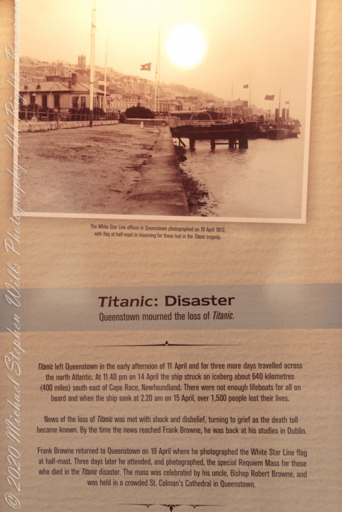
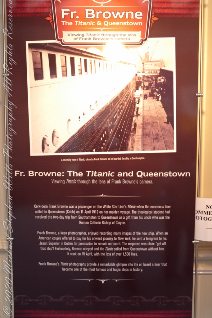
Exhibits from the Cobh Heritage Center, May 2014 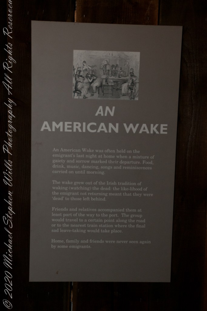
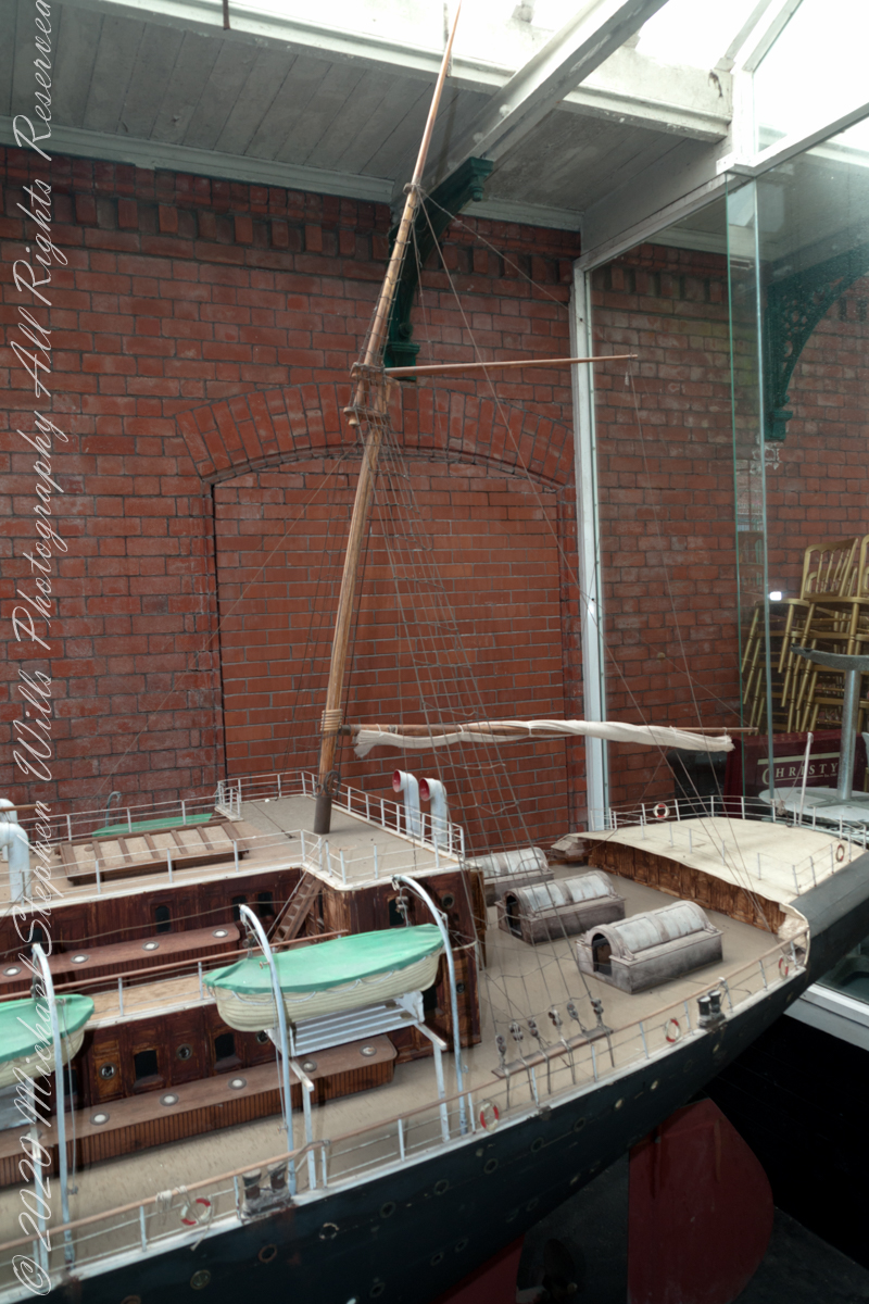
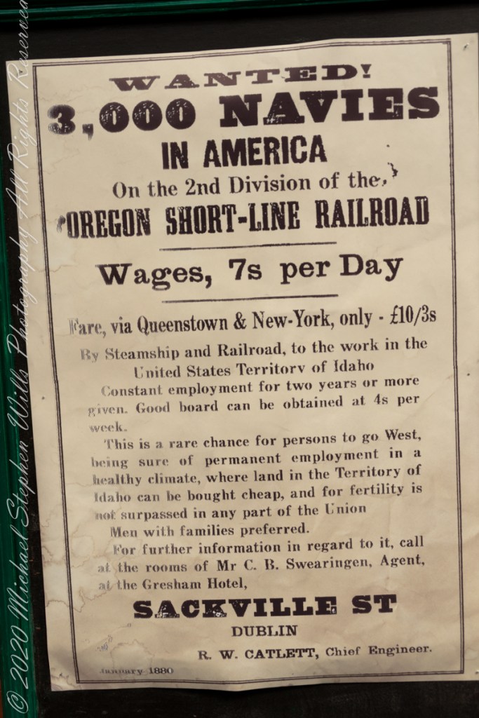
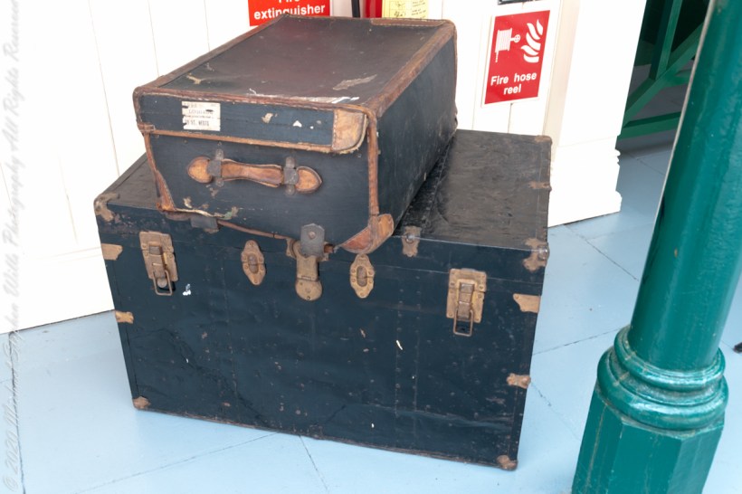
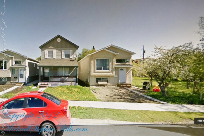
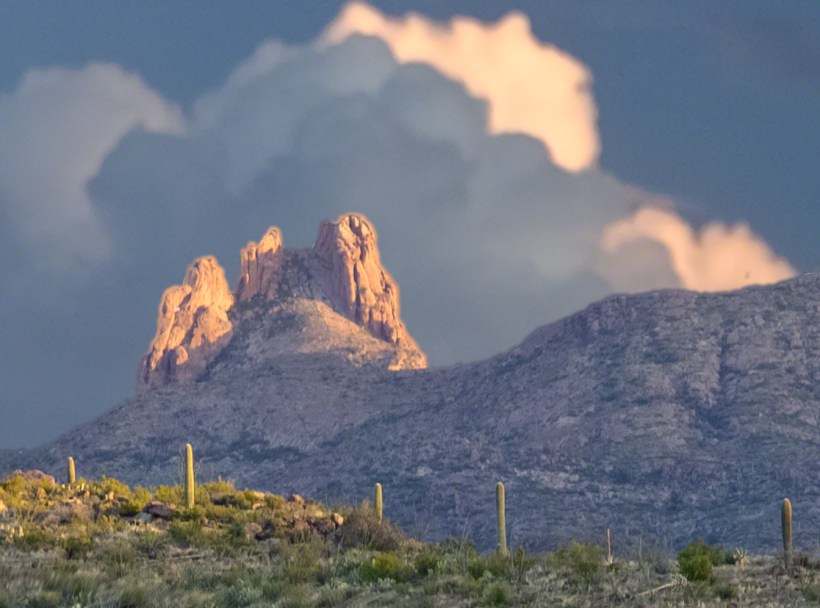
Exhibits from the Cobh Heritage Center, May 2014 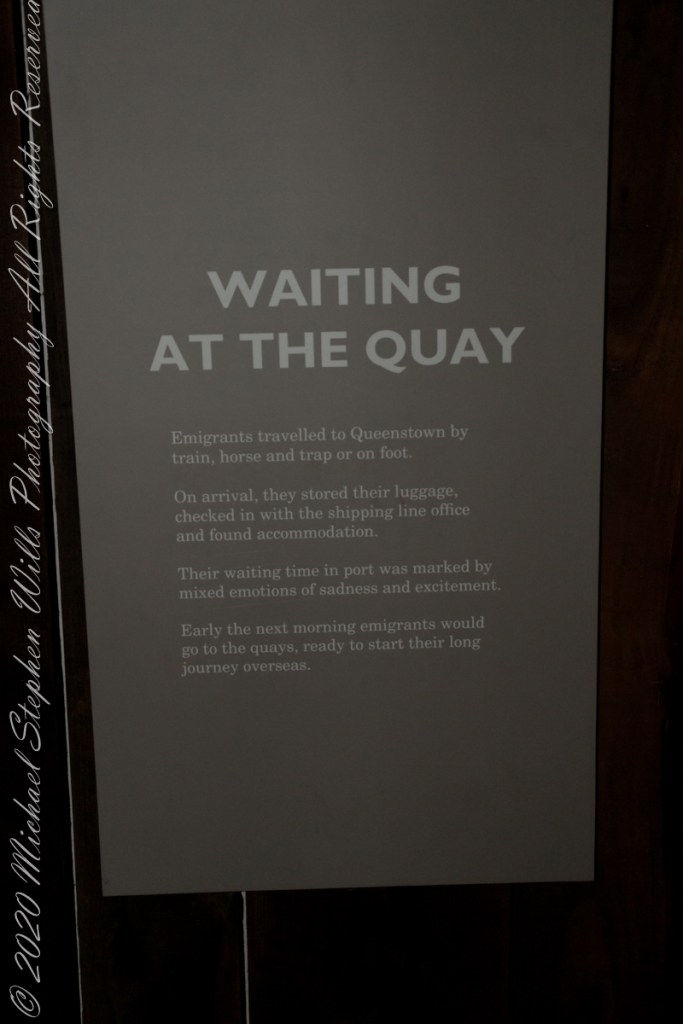
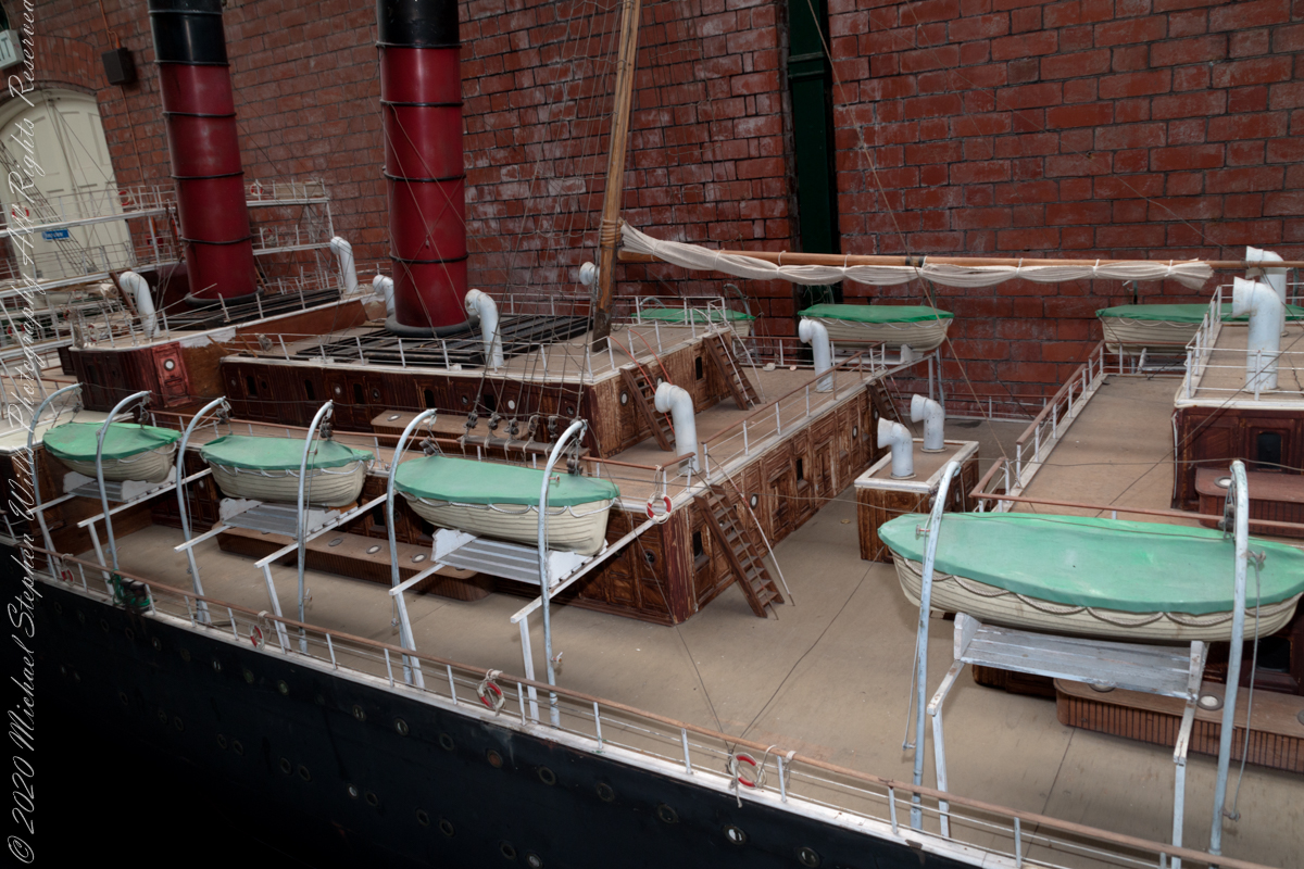
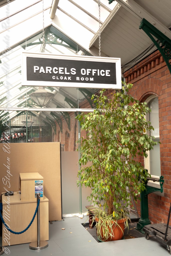
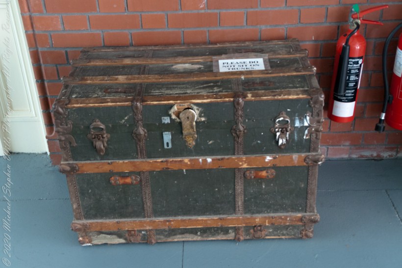
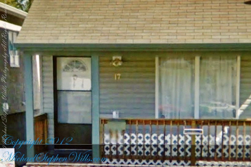
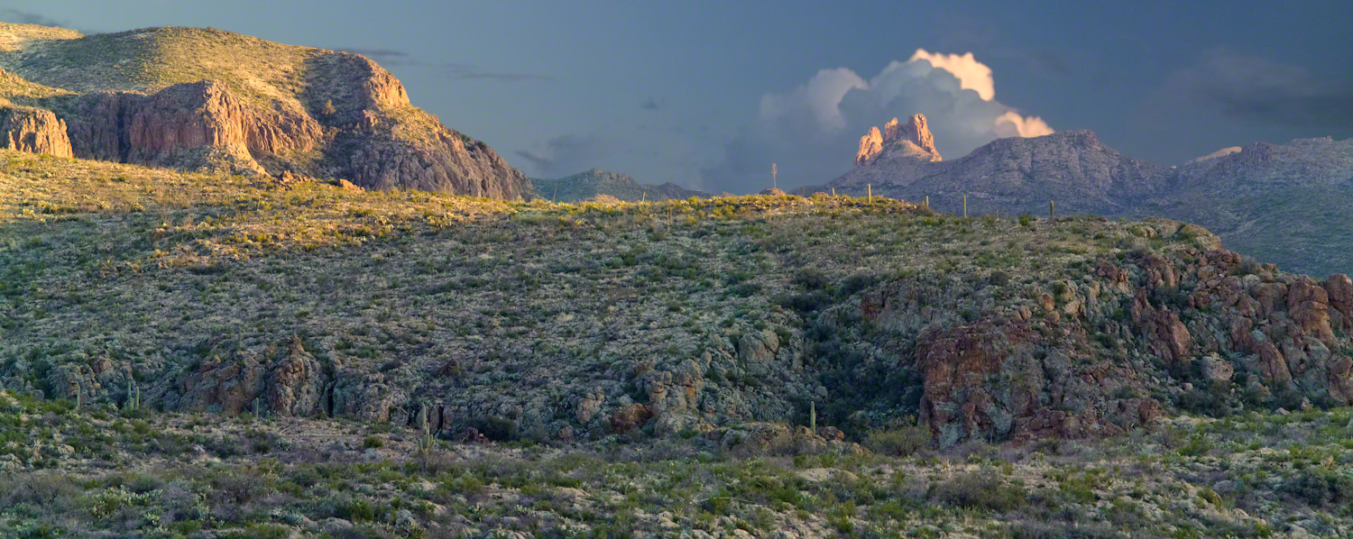
Exhibits from the Cobh Heritage Center, May 2014 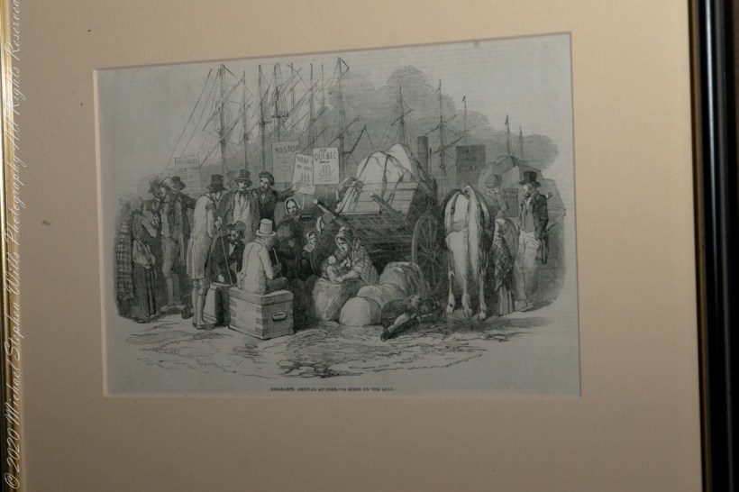
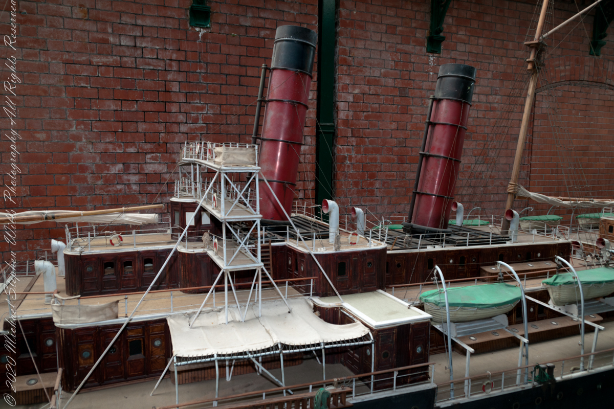
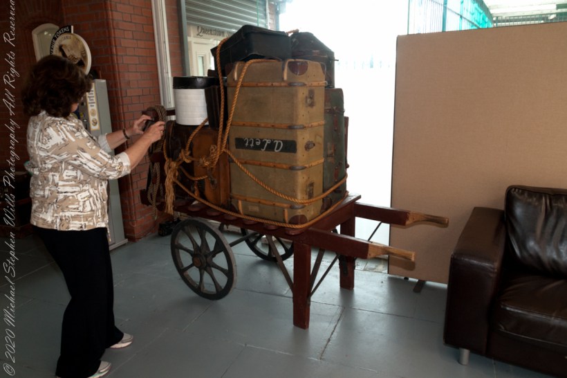
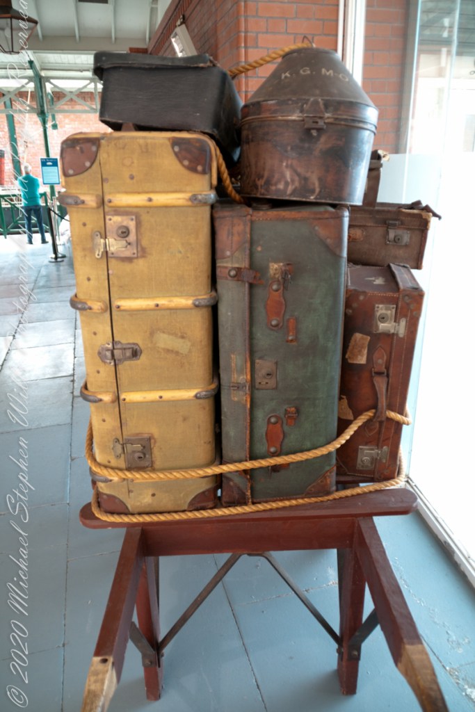
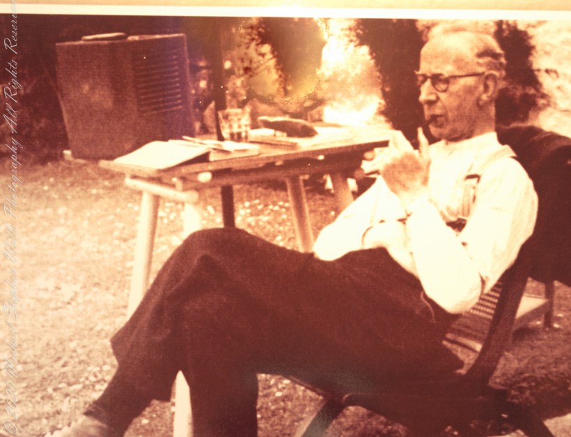
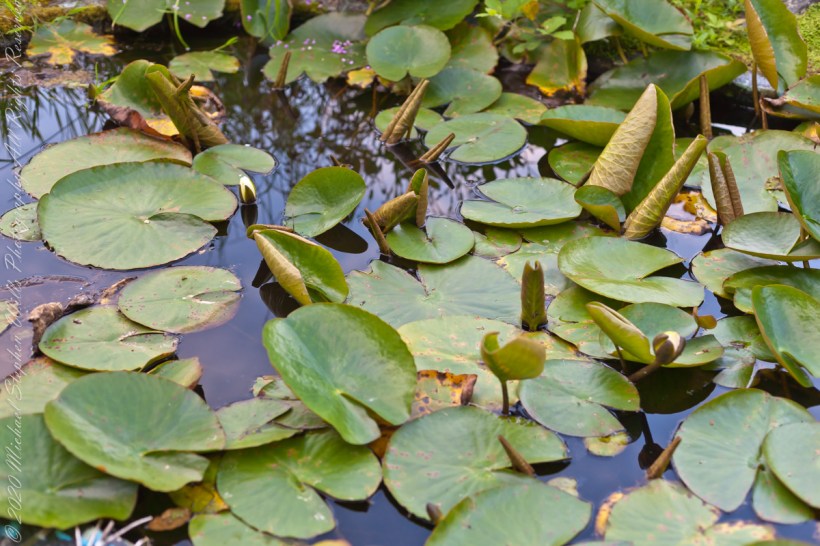
Exhibits from the Cobh Heritage Center, May 2014 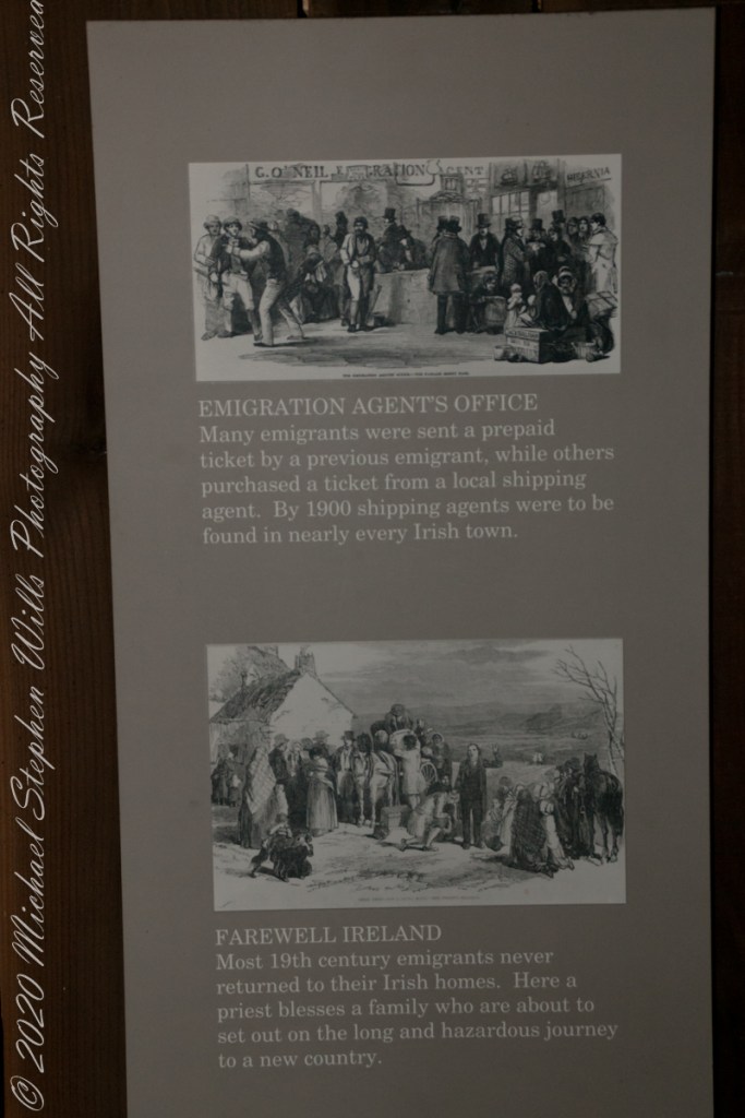
Exhibits from the Cobh Heritage Center, May 2014 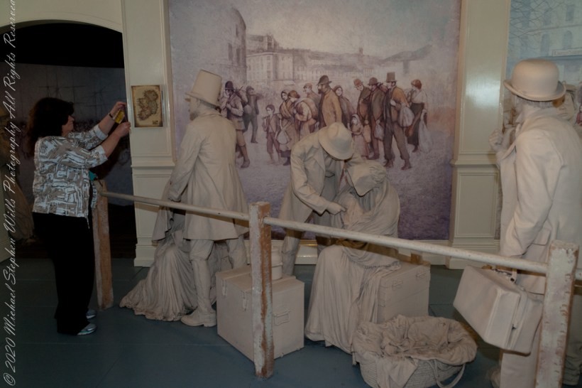
Exhibits from the Cobh Heritage Center, May 2014 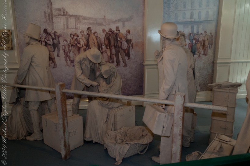
Exhibits from the Cobh Heritage Center, May 2014 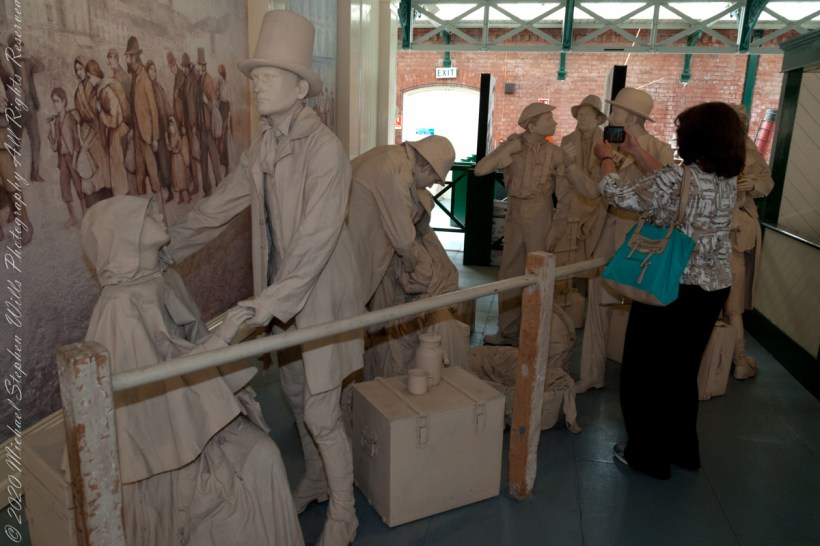
Exhibits from the Cobh Heritage Center, May 2014 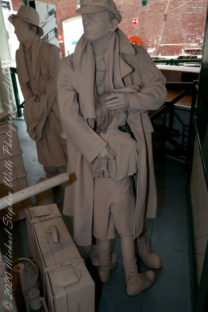
Exhibits from the Cobh Heritage Center, May 2014 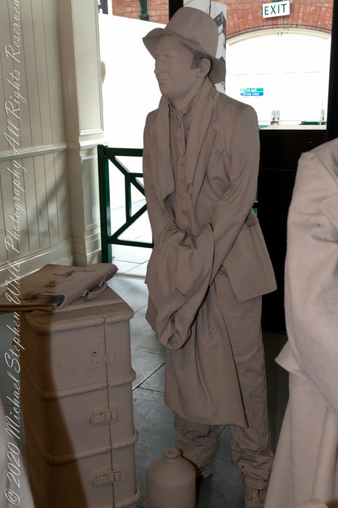
Exhibits from the Cobh Heritage Center, May 2014 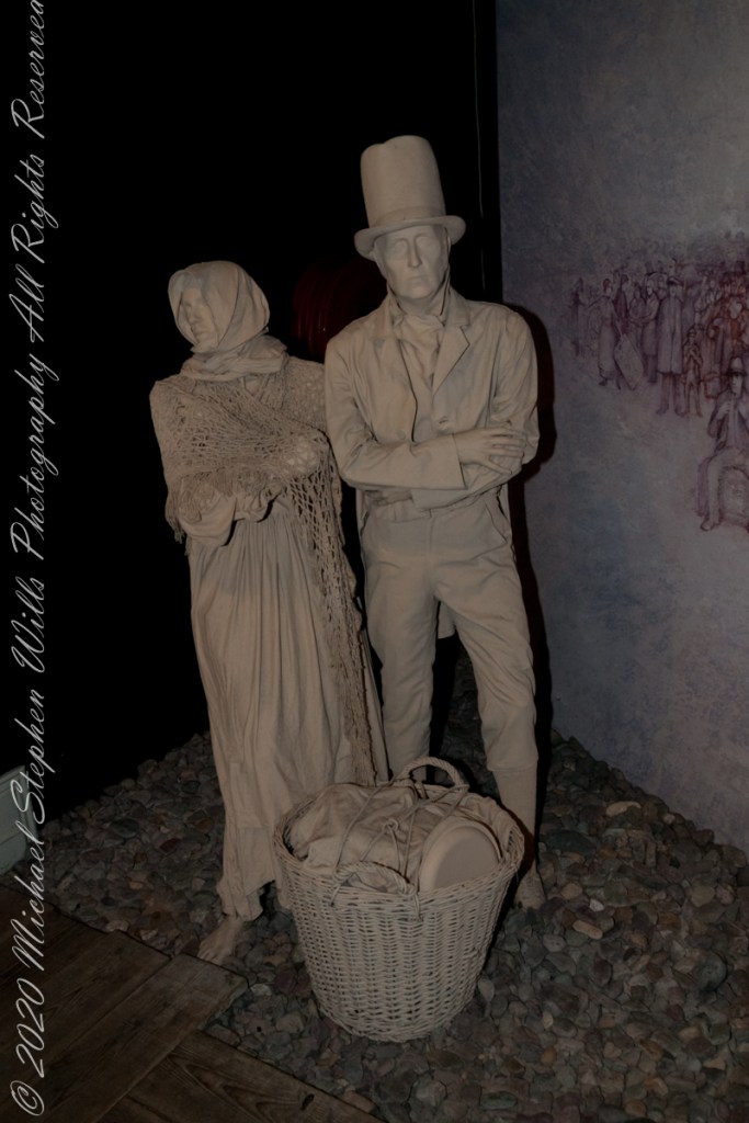
Exhibits from the Cobh Heritage Center, May 2014 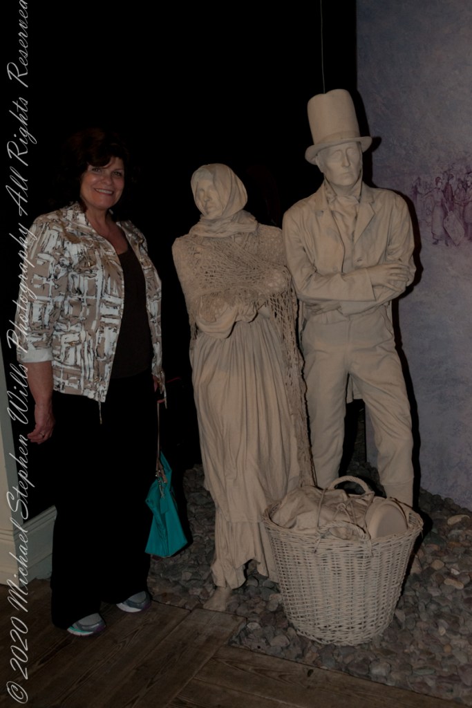
Exhibits from the Cobh Heritage Center, May 2014 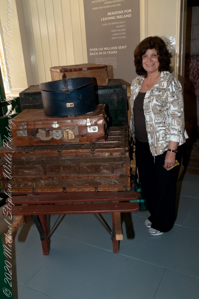
Exhibits from the Cobh Heritage Center, May 2014 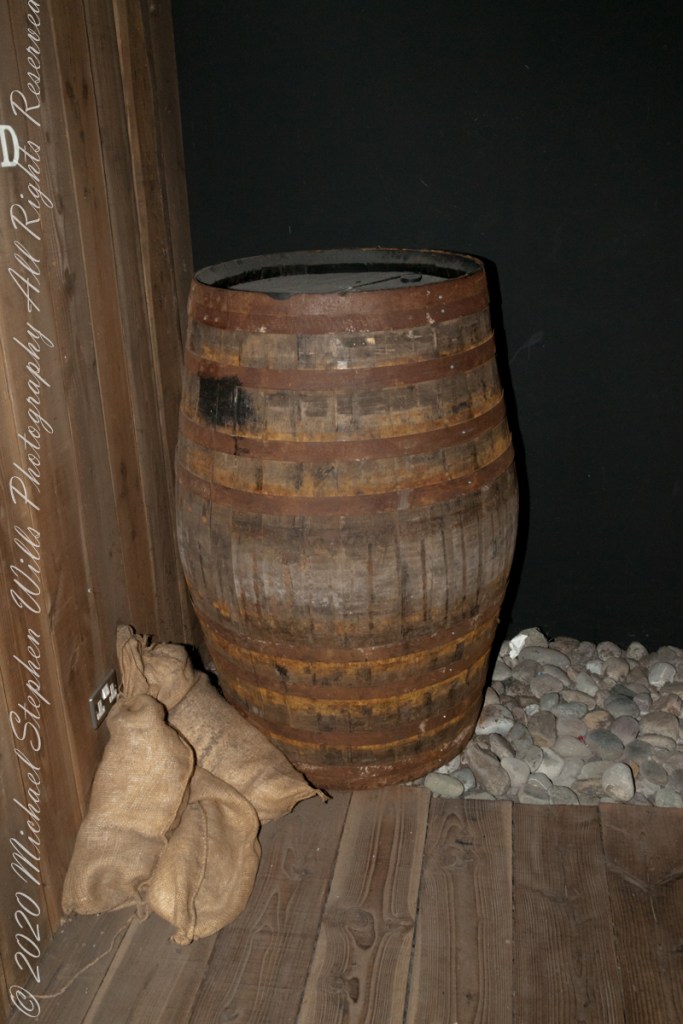
Exhibits from the Cobh Heritage Center, May 2014 
Exhibits from the Cobh Heritage Center, May 2014 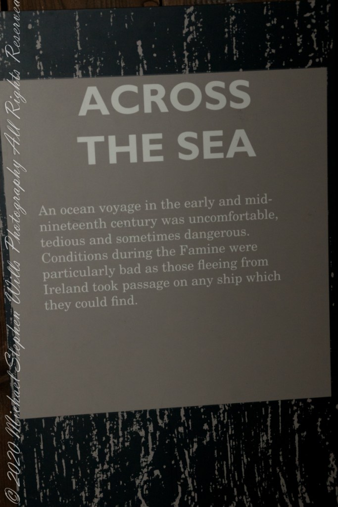
Exhibits from the Cobh Heritage Center, May 2014 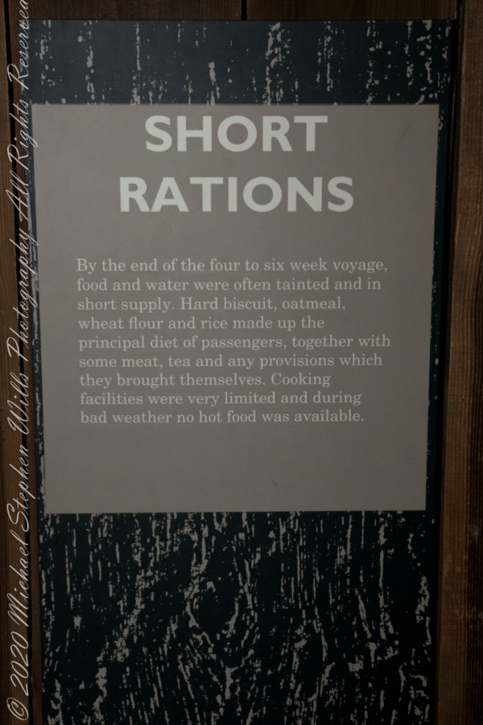
Exhibits from the Cobh Heritage Center, May 2014 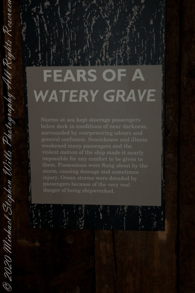
Exhibits from the Cobh Heritage Center, May 2014 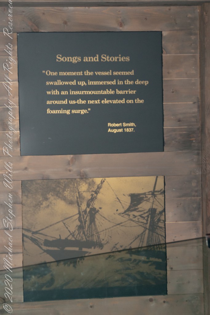
Exhibits from the Cobh Heritage Center, May 2014 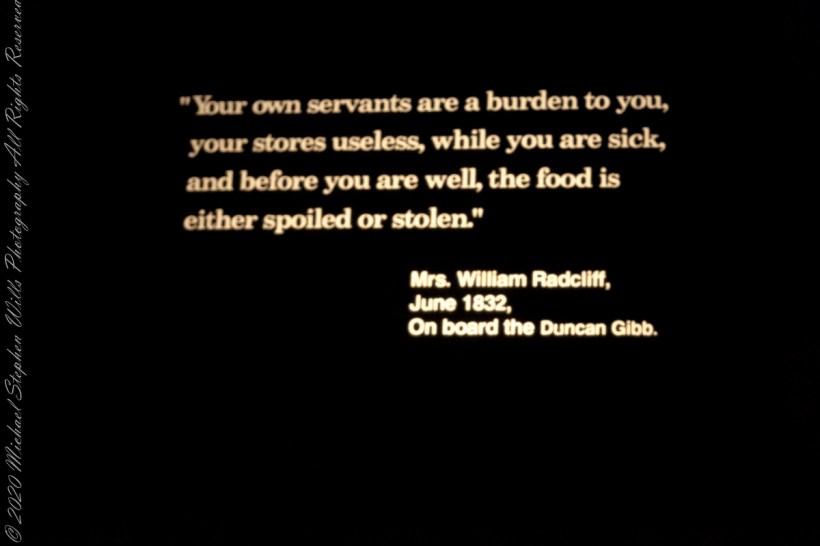
Exhibits from the Cobh Heritage Center, May 2014 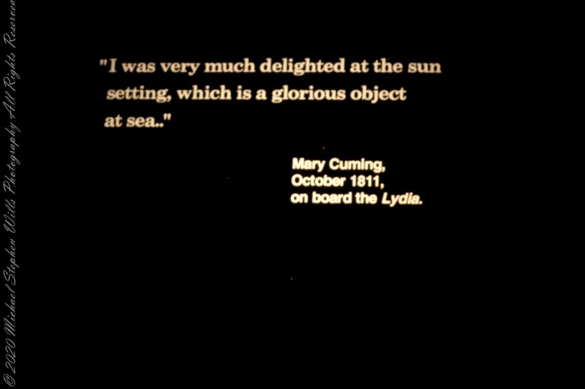
Exhibits from the Cobh Heritage Center, May 2014 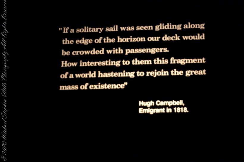
Exhibits from the Cobh Heritage Center, May 2014 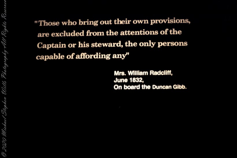
Exhibits from the Cobh Heritage Center, May 2014 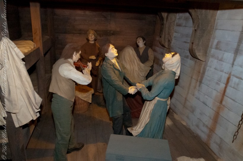
Exhibits from the Cobh Heritage Center, May 2014 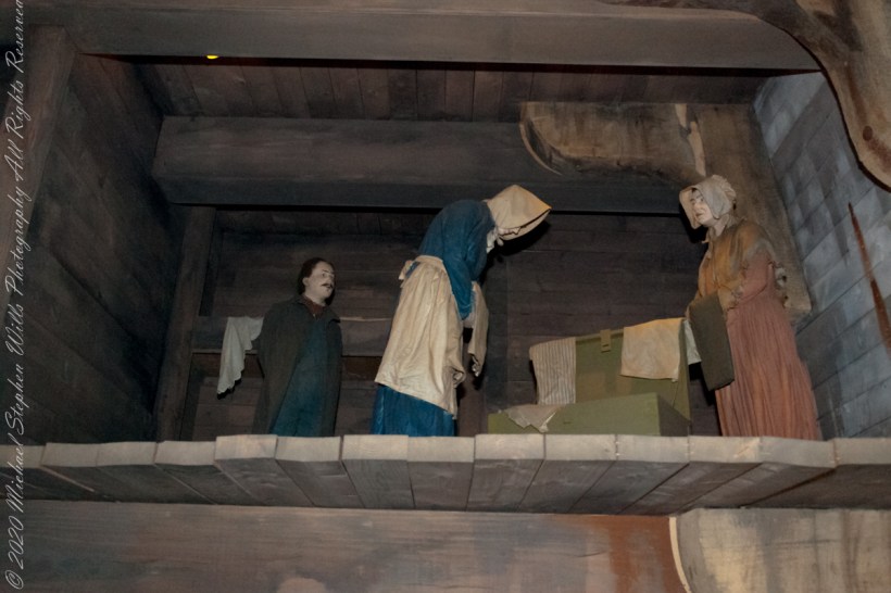
Exhibits from the Cobh Heritage Center, May 2014 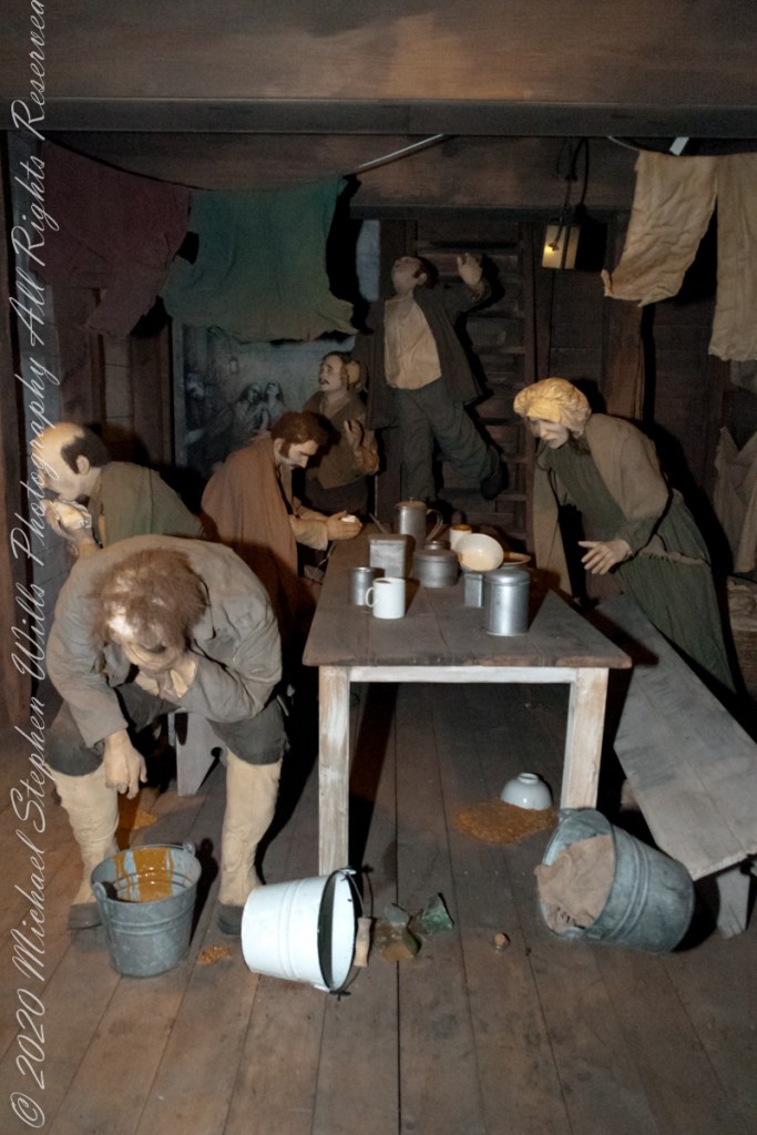
Exhibits from the Cobh Heritage Center, May 2014 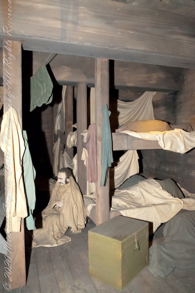
Exhibits from the Cobh Heritage Center, May 2014
Copyright 2021 Michael Stephen Wills All Rights Reserved