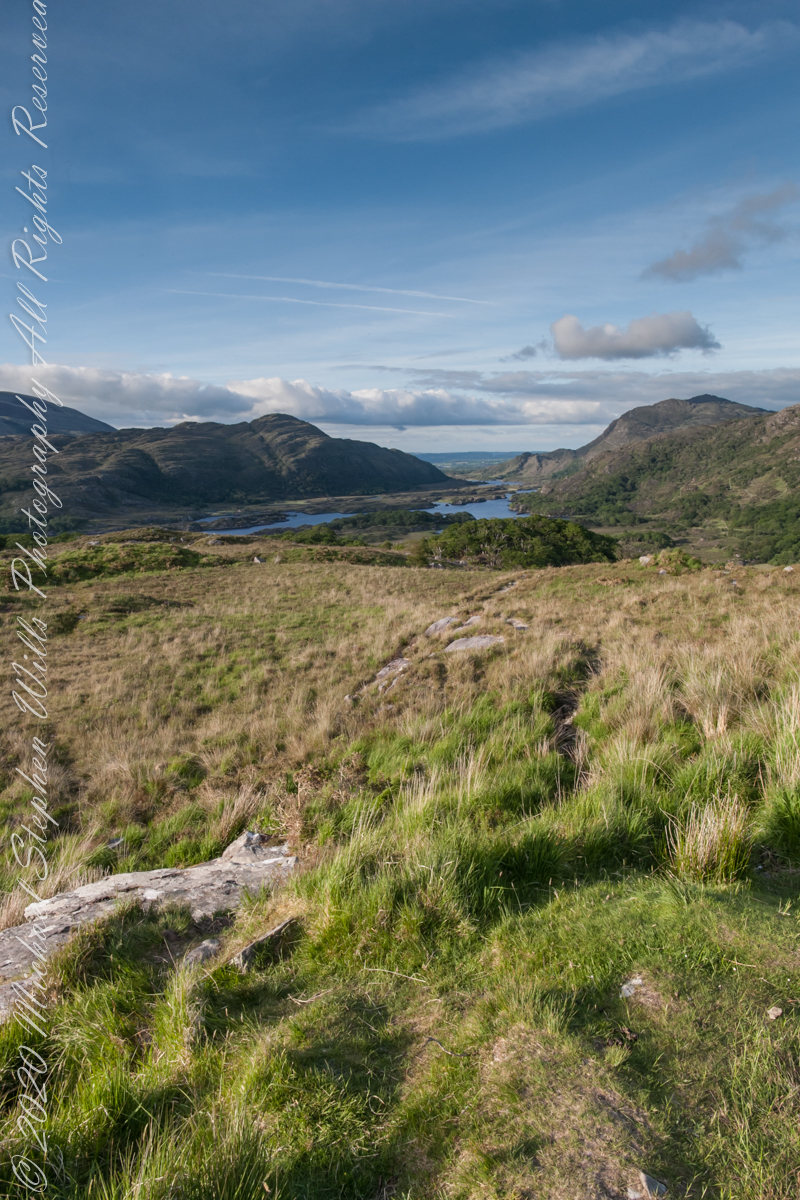
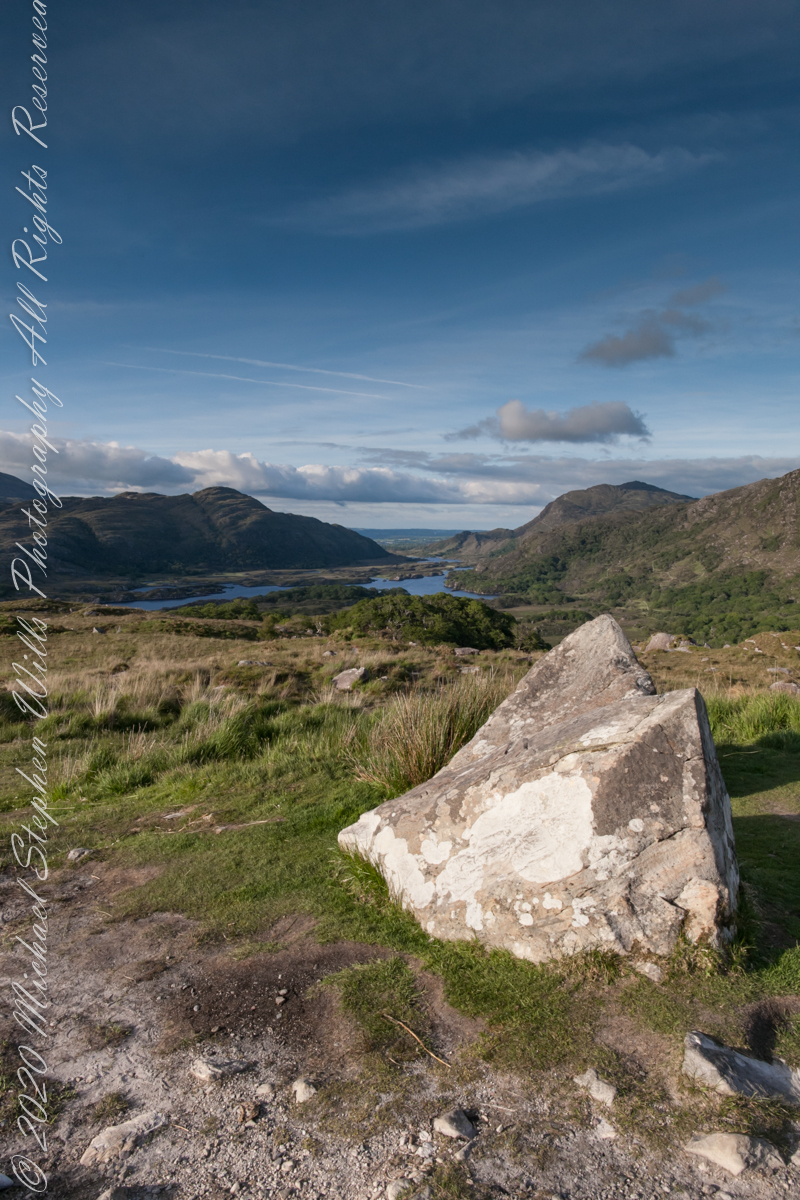
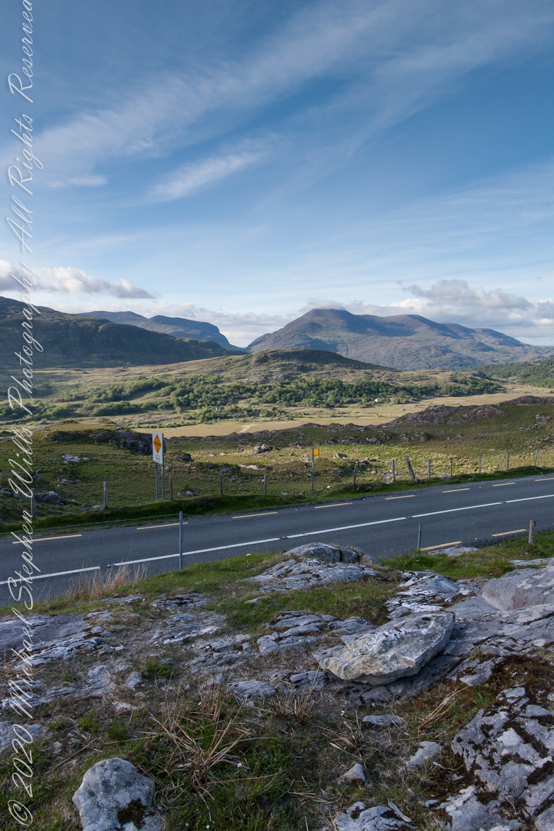
Here we are, on the road from Kenmare to Killarney, N71, part of the Ring of Kerry around the Iveragh Peninsula. The view was celebrated by Queen Victoria’s Ladies-in-Waiting during an 1861 tour of Ireland
Click pic for larger view in a new browser tab. If you are in WordPress Reader, open the post to use this feature.
Ladies View, Killarney National Park, Derrycunihy Townland, County Kerry, Republic of Ireland.
Copyright 2021 Michael Stephen Wills All Rights Reserved
Canyon de Chelly, on the map, is shaped like a Y or a chromosome. A chromosome as the walls of the canyon carry the heritage of the people who made this place their home over millennia. A Y as in the letter ship, a foot and two arms.
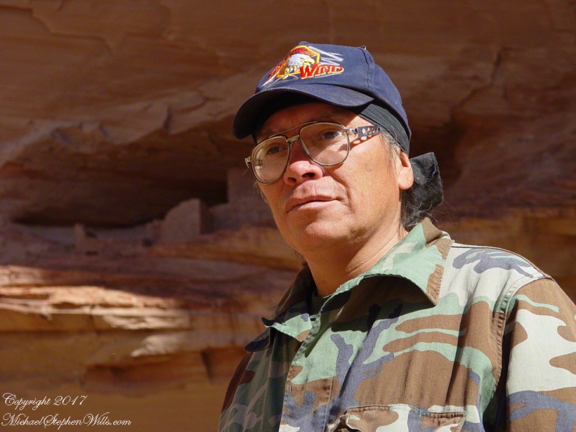
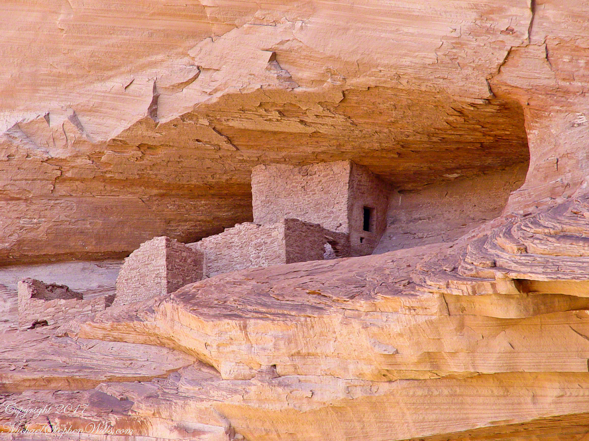
6.2 miles from the canyon mouth, where the road ends at Chinle, above the branch, on the north cliff, is this photogenic ruin, called the Ledge Ruin. In my previous posting, this ruin forms the backdrop of Peter Tsosie’s portrait. Peter is the header image of this posting.
Difficult to believe, seeing it for the first time.
Difficult to see, a tiny nook in an enormous cliff, the structures formed from the same rock as though what remained after the cliff fell away.
Difficult to comprehend life there, what drove them to this effort? Fear, certainly, concern for their safety and security.
We know it by our name. Their name included the word “home.”
Here we are, on the road from Kenmare to Killarney, N71, part of the Ring of Kerry around the Iveragh Peninsula. The view was celebrated by Queen Victoria’s Ladies-in-Waiting during an 1861 tour of Ireland
Click pic for larger view in a new browser tab. If you are in WordPress Reader, open the post to use this feature.
Ladies View, Killarney National Park, Derrycunihy Townland, County Kerry, Republic of Ireland.
Copyright 2021 Michael Stephen Wills All Rights Reserved
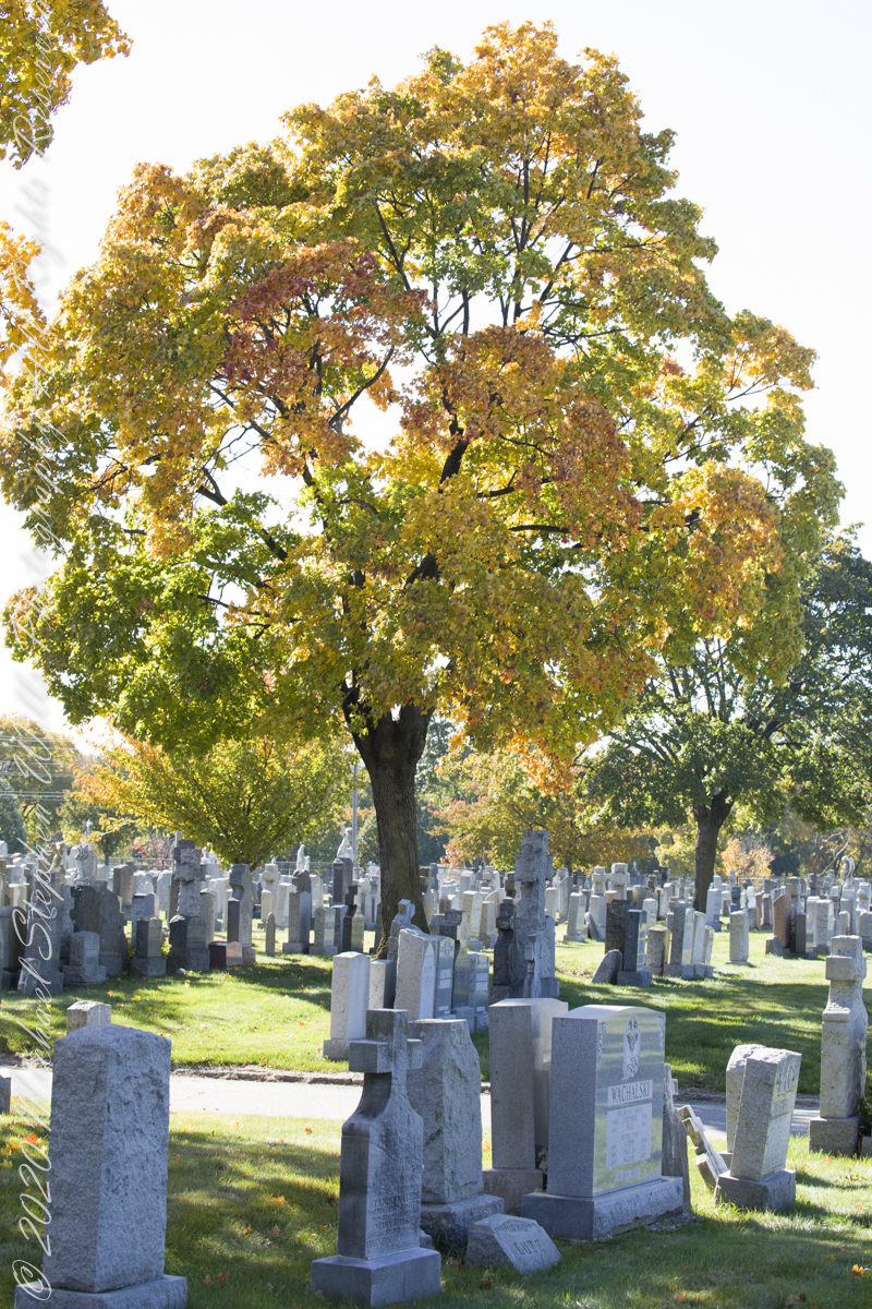
When I was a young adult Mom told me Grandfather Wills was buried in the Bronx. James Edward Wills died when my father was very young and they were poor, living in tenements on the upper West Side of Manhattan April 1916.. Looking through Dad’s papers after both he and Mom were gone, I found the grave receipt: “Saint Raymond’s Cemetery, Westchester, New York.” James Wills, born April 1877, the youngest of six children of George Wills and Margaret McCambridge, who were 43 and 38, their place of residence two years later cited in the 1880 Federal Census as Shamong, New Jersey. Today, Shamong Township is part of New Jersey Pinelands National Reserve. Atsion, the Iron Furnace town where James’ Grandmother Ann McCambridge (nee Milley) worked as a cook, is in Shamong Township.
Finding and researching the grave receipt is what began my adventures in genealogy. What was, in 1916, Westchester is now the Schuylerville section of Bronx county, a borough of New York City. Saint Raymond’s Parish, still going strong, acquired more consecrated land for burials with now an “Old” and “New” cemetery separated by the confluence of interstates 95, 295, 678 including the approaches to the Whitestone and Throgs Neck Bridges, the superstructures of which are visible from the “Old” cemetery.
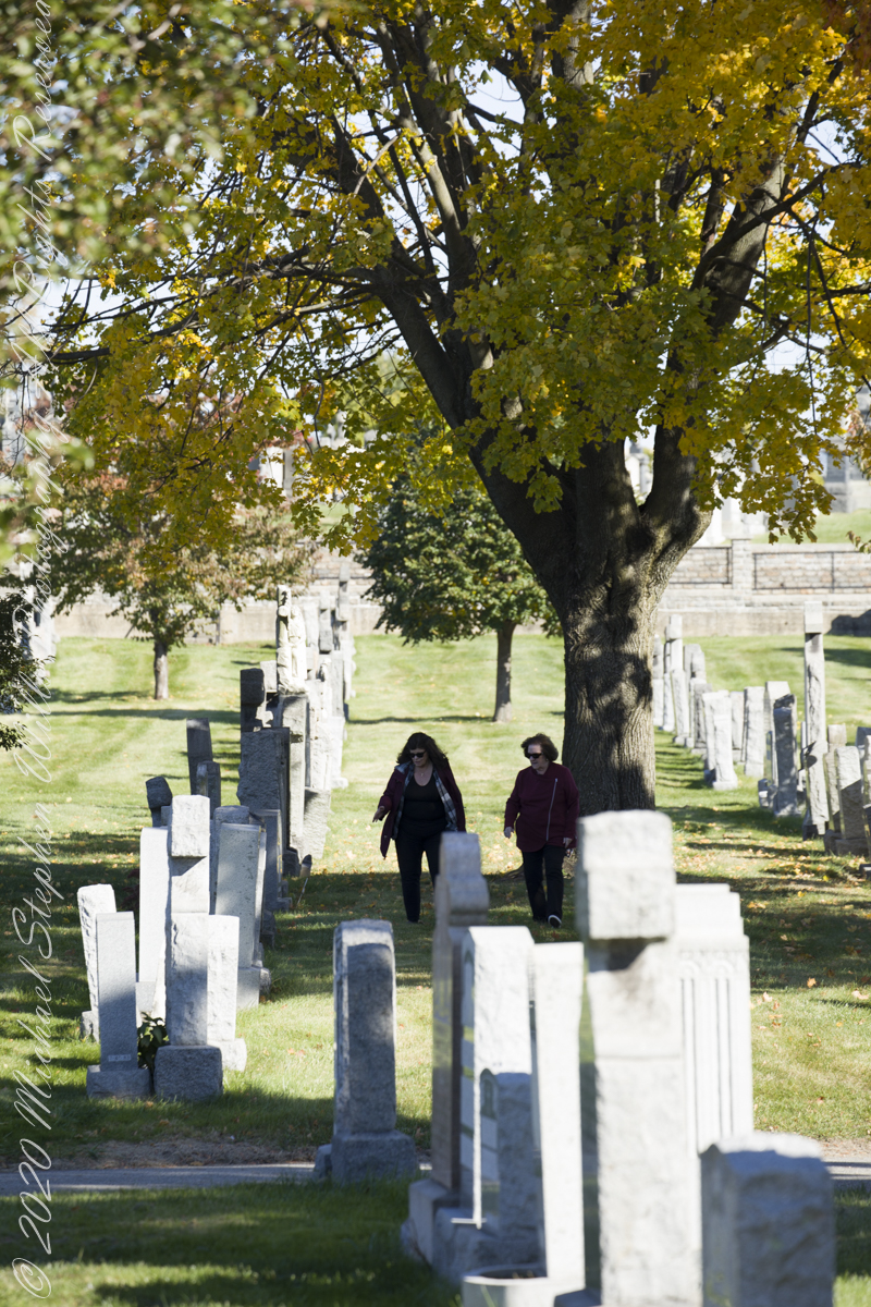
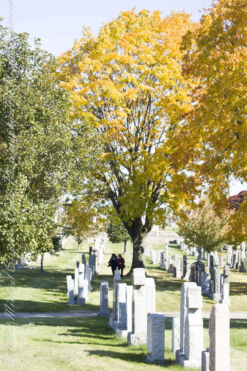
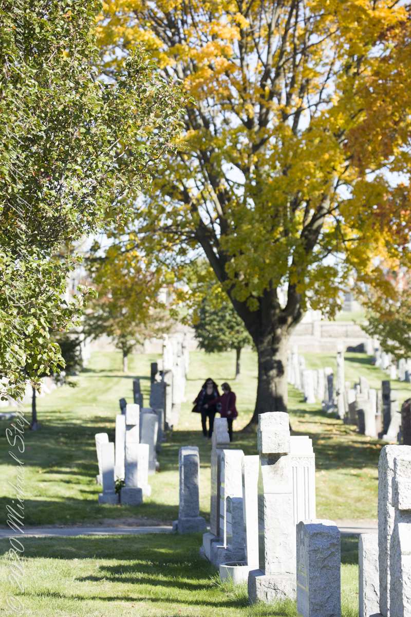
Having sorted out these details, I approach my cousin Mary at the October 2021 engagement party of my niece where we made arrangements to find Grandfather Wills’ final resting place the following month. On Wednesday, November 10th, Mary’s husband Peter drove us over the George Washington Bridge, through the incredible traffic of the Cross Bronx Expressway (a funny name for this moving parking lot, bumper to bumper trucks), to Schuylerville. We navigated to the “Google Maps” push pin I placed next to Section 7. Google Maps even has street views of the cemetery, in retrospect the view of Section 7, Ranges 35 – 51, includes grandfather’s grave.
We worked together, walking the rows, reading headstone inscriptions, on the expectation of finding Grandfather’s name without success. Peter and I took to counting the rows to find number 41, with success. With less success counting the headstones and spaces (unmarked graves) to find number 82. At the same time, Pam and Mary searched. I used the “Find A Grave” website to look up headstones in section 7, row 41 and found the only location provided was “Section 7.” I also called the cemetery office where they were most helpful. There is NO record of James Wills.
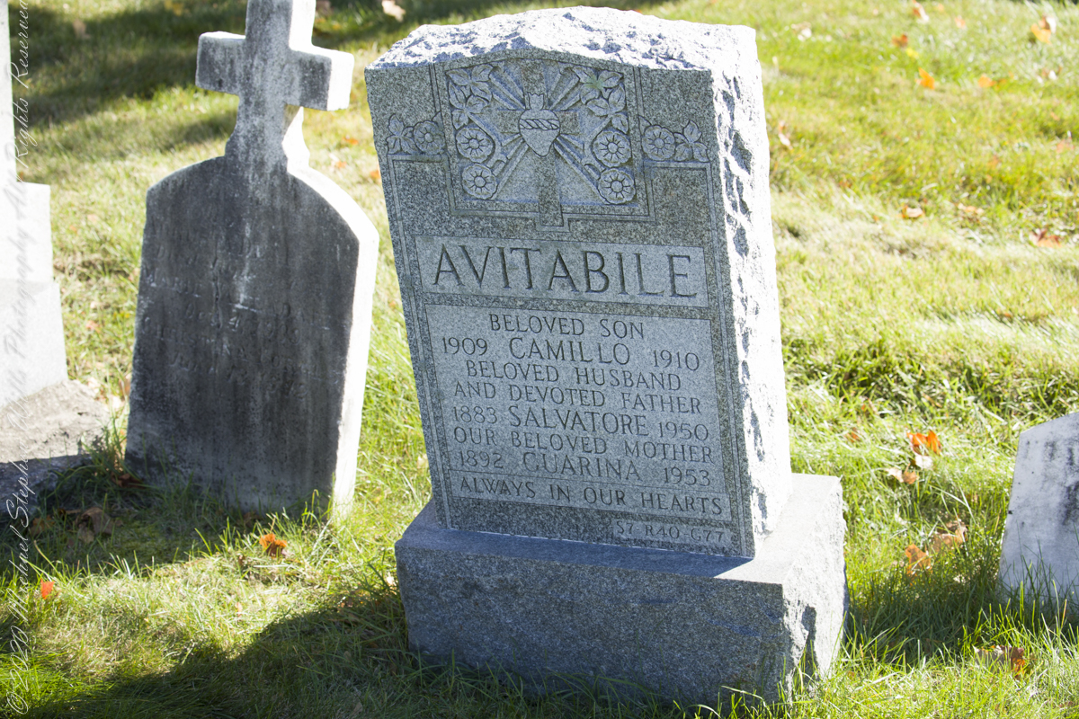
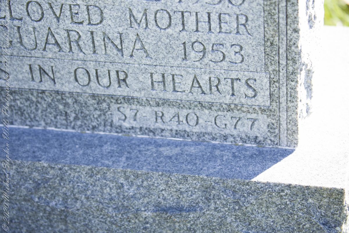
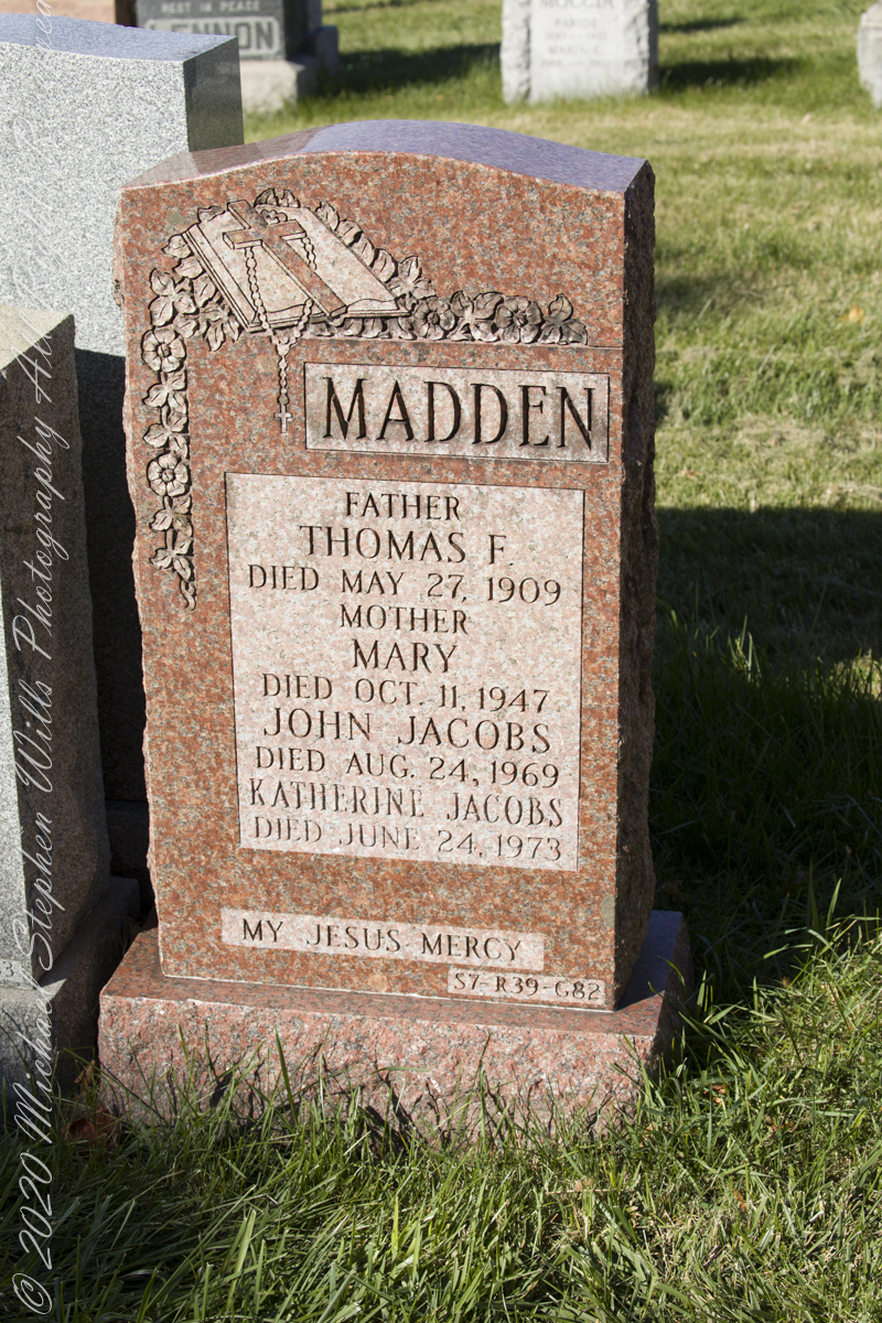
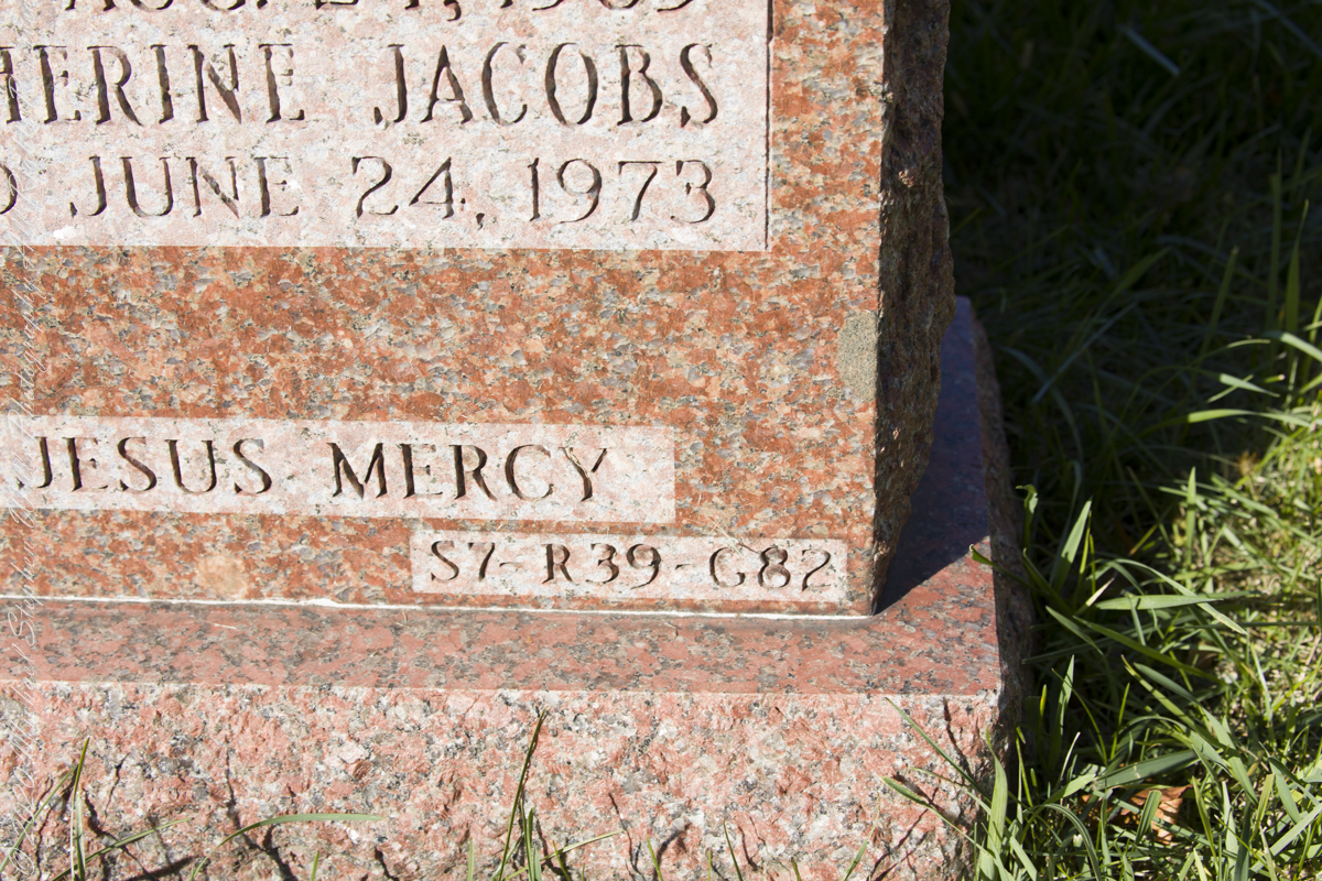
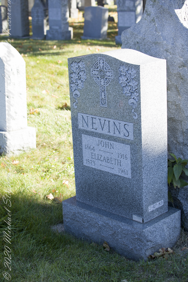
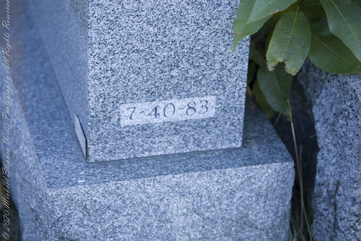
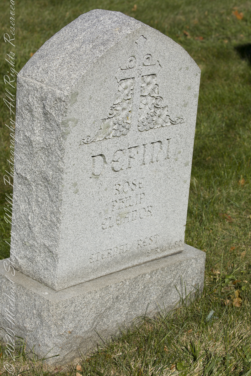
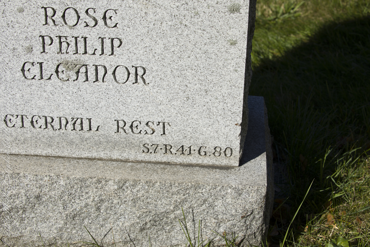
Then, Pam noticed some headstones inscribed with the exact location, Section, Range (Row) and Grave. This was the key. Here are the headstone references that pinpointed Grandfather Wills’ final, unmarked, resting place.
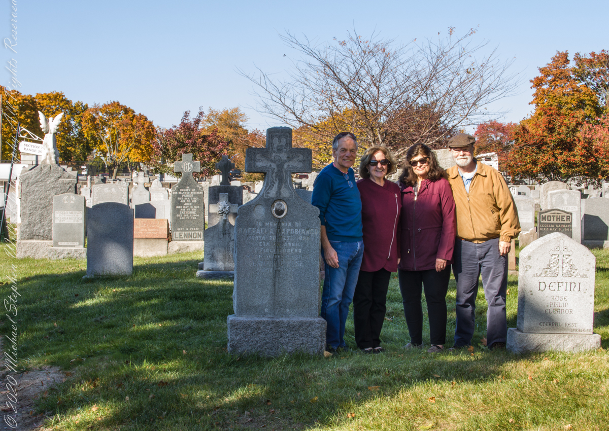
In the following photograph I am on the right with wife Pam. Cousin Mary next to her husband Peter on the right, Mary is standing on grave 82.
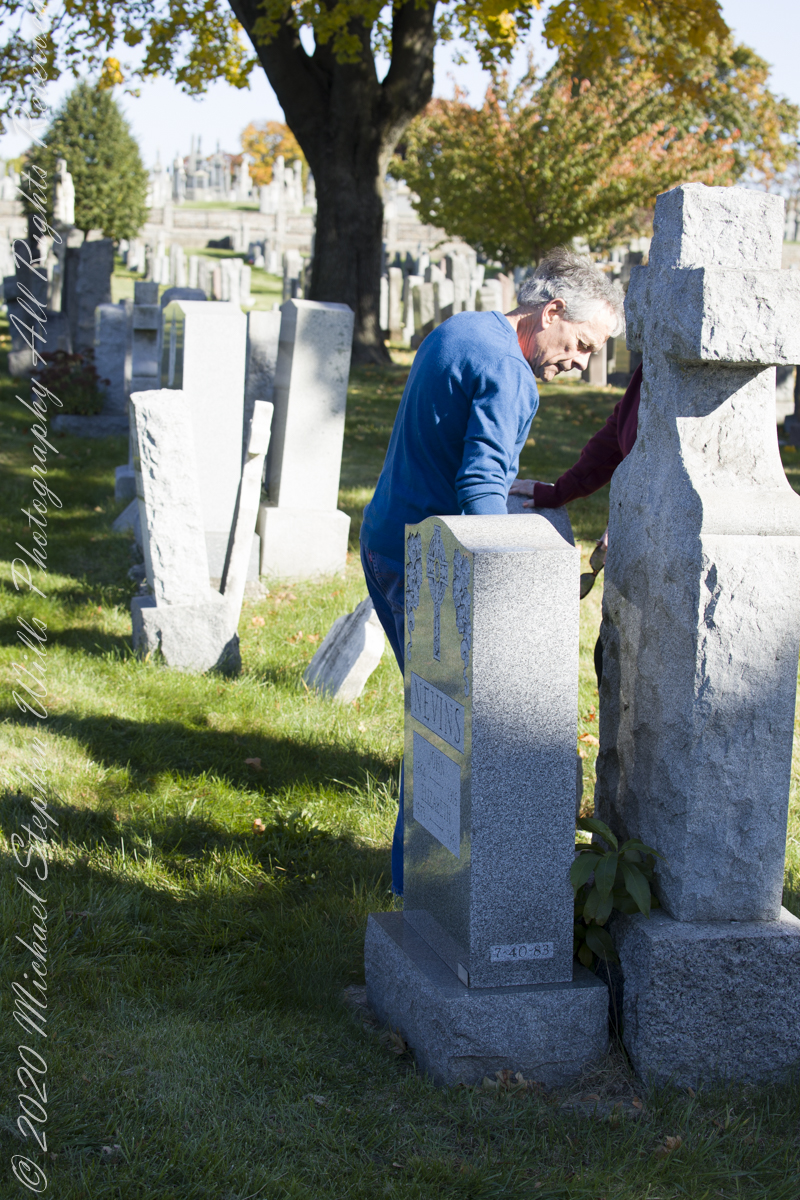
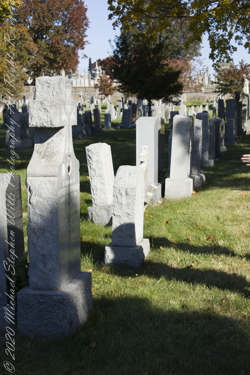
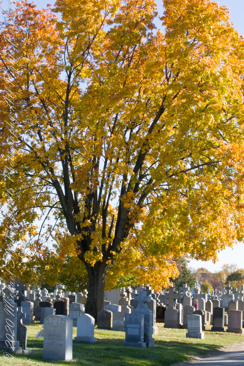
James Edward Wills unmarked grave, Section 7, Range (Row) 41, Grave 82, Old Saint Raymond’s Cemetery, Balcom Avenue, Schuylerville, Bronx, New York. Wednesday, November 10, 2021. Here we are facing south / southeast into Section 7, James Wills’ unmarked grave is to the left and just behind Nevins headstone (Row 40, Grave 83).
Copyright 2021 Michael Stephen Wills All Rights Reserved
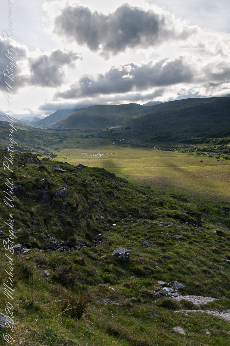
We are near Molls Gap on the Ring of Kerry. At our feet is Eric townland, there’s an epynmous Bog Nature Reserve down there.g of Kerry. At our feet is Eric townland, there’s an eponymous Bog Nature Reserve down there.
Townlands Derrylough, Crossderry and distant Bunbinnia take up most of the view. Those familiar with post-glacial topography will recognize the glacially oversteepened slopes of the distant through valley. The valley floor is a glacial outwash plain.
Click pic for larger view in a new browser tab. If you are in WordPress Reader, open the post to use this feature.
Copyright 2021 Michael Stephen Wills All Rights Reserved
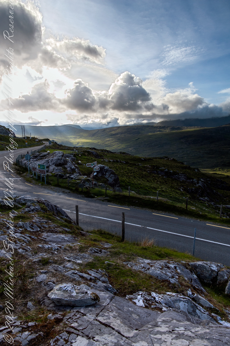
Here we are still standing in Moll’s Gap, looking a bit farther northwest into Black Valley than for View Two. Across the far mountains is Black Valley, a place so remote it was among the last, on the island itself (“mainland”) to be electrified or connected to telephone networks. Today Black Valley is a southerly route to the Gap of Dunloe well known to certain hikers and cyclists.
I am struggling here to deal with the vast range of light intensity from the glow of a westering sun, to the shadows cast by surrounding heights.
Beneath our feet are the slopes of Derrygarriff (in Irish Doire Gharbh) of the Mangerton range. Across the way is Crossderry peak of the Dunkerron mountains, the townland is named for the peak (or vice versa).
Click pic for larger view in a new browser tab. If you are in WordPress Reader, open the post to use this feature.
Here is a second try, a bit more successful as the clouds opened to shine on distant land. I did work in Photoshop to manage the brightest clouds.
Here are all three versions of the Black Valley view from Moll’s Gap. Enjoy
Copyright 2021 Michael Stephen Wills All Rights Reserved
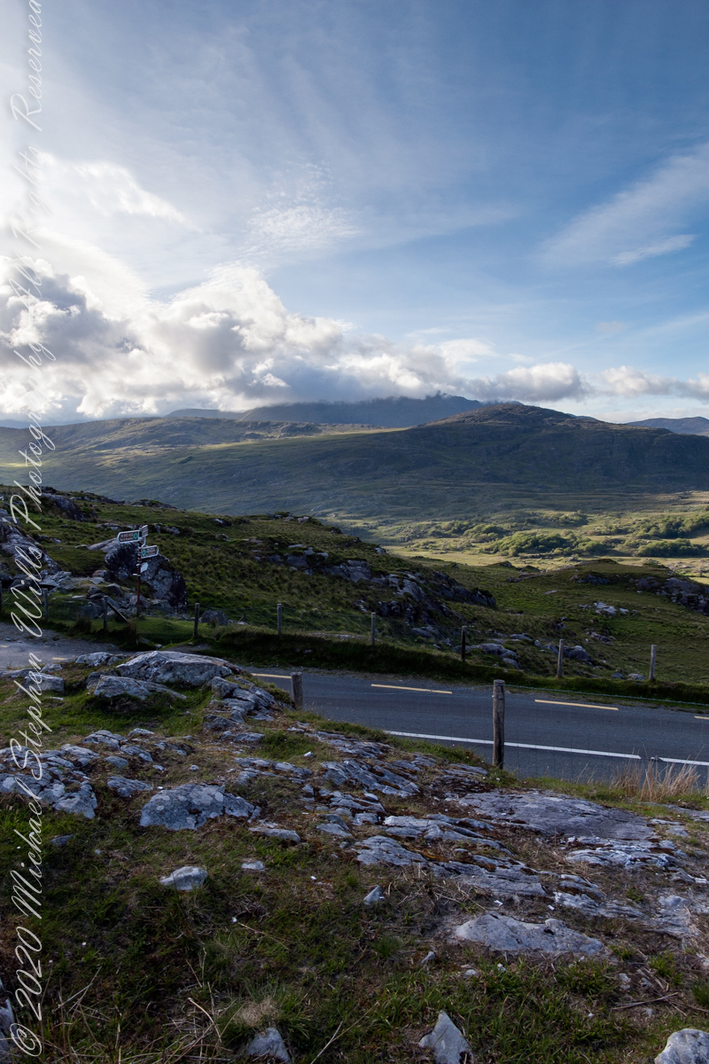
Here we are standing in Moll’s Gap, looking northwest into Black Valley, a place so remote it was among the last, on the island itself (“mainland”) to be electrified or connected to telephone networks.
Beneath our feet are the slopes of Derrygarriff (in Irish Doire Gharbh) of the Mangerton range. Across the way is Crossderry peak of the Dunkerron mountains, the townland is named for the peak. Black Valley, now a southerly route to the Gap of Dunloe well known to certain hikers and cyclists, is beyond the far mountains.
Click pic for larger view in a new browser tab. If you are in WordPress Reader, open the post to use this feature.
Copyright 2021 Michael Stephen Wills All Rights Reserved
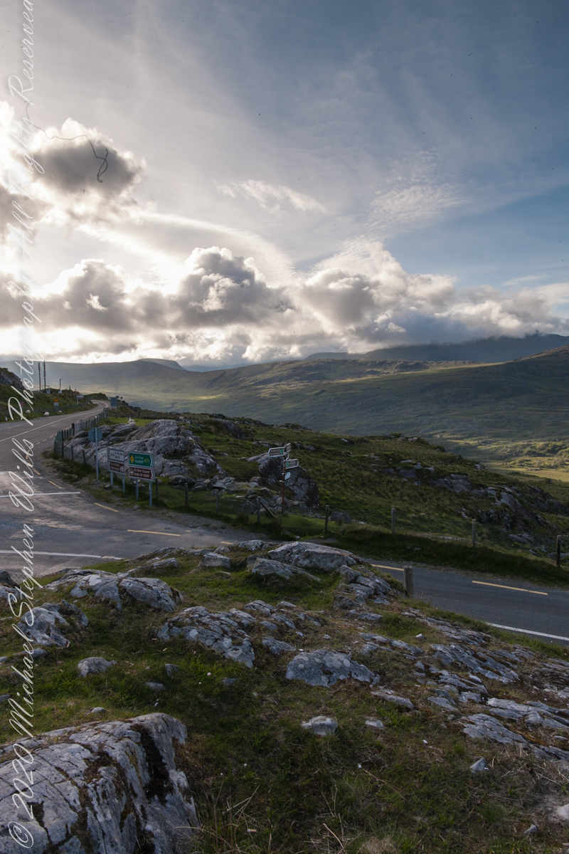
Here we are, on the road from Kenmare to Killarney, N71, part of the Ring of Kerry around the Iveragh Peninsula. The spot is the mountain pass Moll’s Gap, also known in the Irish language as Céim an Daimh (meaning, Gap of the Ox). In the Nineteenth Century a woman named Moll Kissane ran a public house here, operating illegally.
The mountain of this townland, named Eirk (also known as Adhard) , is composed of a fine grained sandstone found in a wide swath from North America’s northeastern coast, Greenland, Ireland, Great Britain — lands formerly part of the same ancient continent.
Click pic for larger view in a new browser tab. If you are in WordPress Reader, open the post to use this feature.
Iveragh Peninsula, Eirk townland, County Kerry, Republic of Ireland.
Copyright 2021 Michael Stephen Wills All Rights Reserved
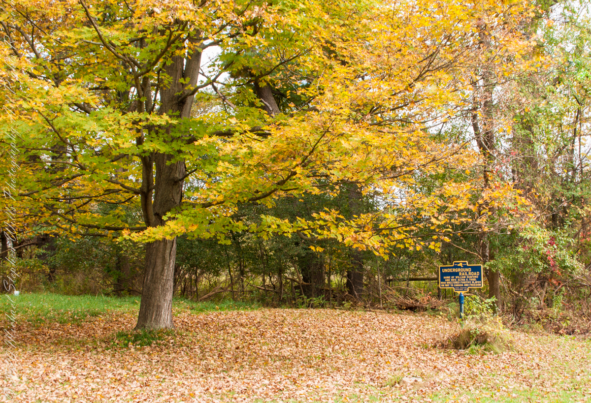
We have often travelled Lower Creek Road as an alternate route to visit my son and his family who live in Freeville, a village named for the activity of the Underground Railroad. After noticing this sign in passing for years, this week we stopped on a glorious autumn morning to capture it. I had packed the Sony Alpha 700 dslr for just such an opportunity.
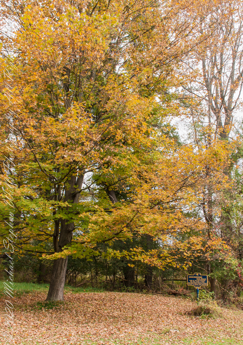
Just off the road, under a maple tree in full autumn color (yellow), ground covered with fallen leaves (brown) on a fine early October morning, the sign reads, “New York, UNDERGROUND RAILROAD, HOME OF WILLIAM HANFORD AND WIFE ALTHA C. TODD, WHO SHELTERED FUGITIVE SLAVES ON THE WAY TO CANADA AND FREEDOM, STATE EDUCATION DEPARTMENT 1932”. These dark blue background, bright yellow letter signed are found throughout this region and much appreciated.
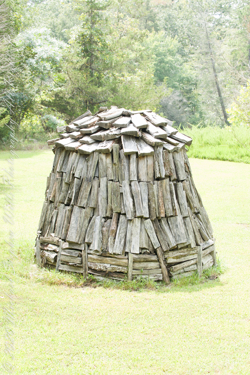
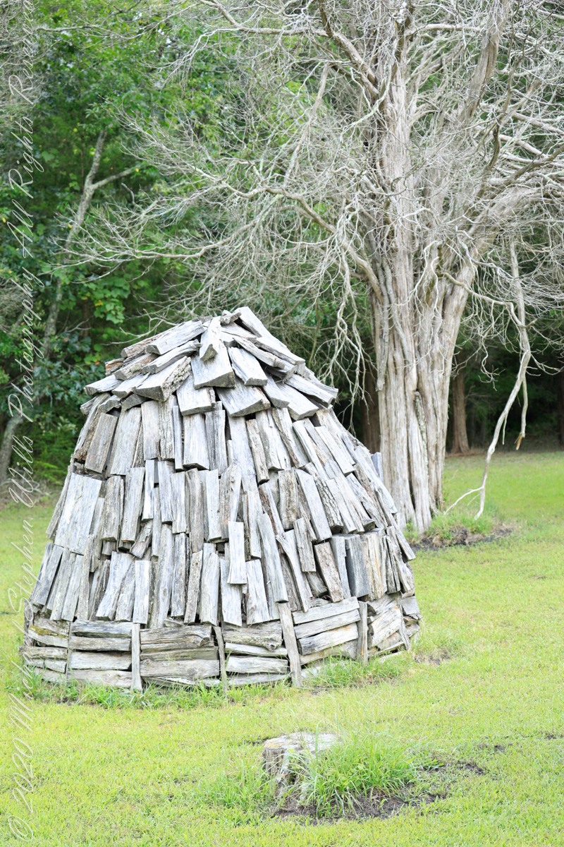
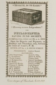
Here my exploration of Wharton State Forest, Pitch Pine Forest III, branches to the genealogical exploration of this landscape as my sister, Theresa and I, proceed along the humped, pitted sand road Goodwater through the wilderness to emerge in Batsto Village, a recreation of lives that touched my great great grandparents, James and Ann McCambridge among them. Ann saved money earned as a cook for Atsion furnace, the historical site at the start of the road to Quaker Bridge. Her husband James worked as a collier, supplying fuel for the iron furnaces at Atsion and Batsto, among other enterprises. During our Batsto Village visit we found these reproductions of charcoal clamps.
A charcoal clamp (a word derived from Dutch for “heap’) is build around a chimney formed from the wood and covered with materials such as earth to control air flow.One the burn was started, the process was watched closely. The person in charge was called a collier.
Since earliest times charcoal was used for cooking and heating. It was the best heat source for metal furnaces. Entire deforested regions are attributed to the demand for charcoal. Thomas Jefferson experimented with charcoal clamp designs, modifying air flow from the base.
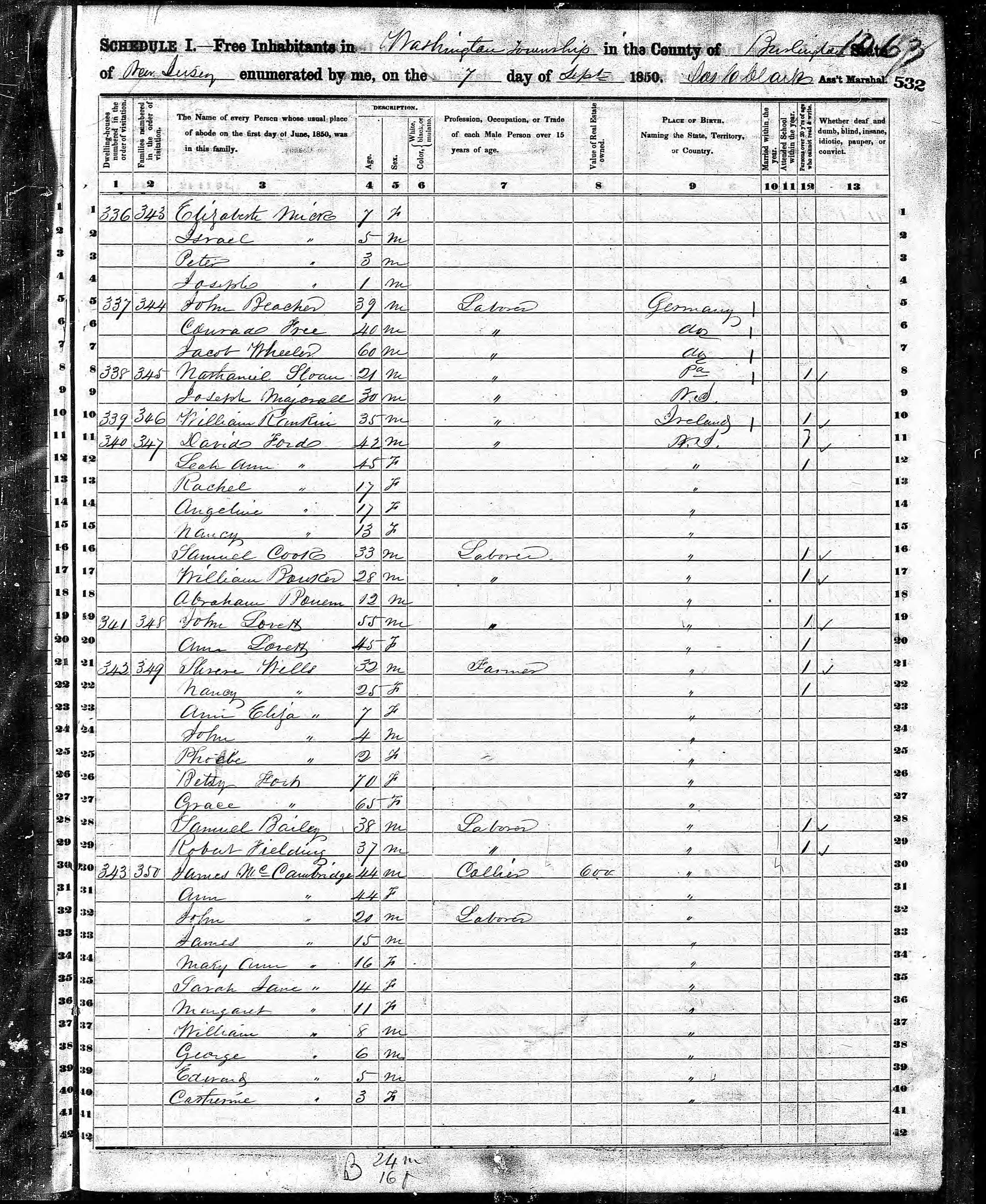
James and Ann lived on the land that provided a livelihood, enough to support themselves and nine (9) children. From September 7, 1850 is the US Census for this family of my second great grandparents. Great Grandmother Margaret was 11 years. James is listed as a Collier, the value of Real Estate owned was 6,000 (a fortune for the time).