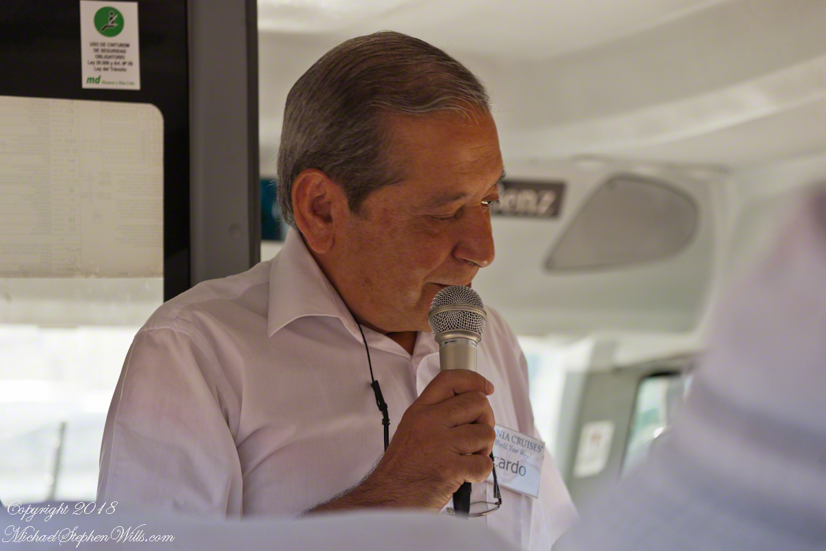
We’ll start in the parking lot of the Valparaiso Passenger Terminal, introduced in my last posting, “Valparaiso Old and New”. The terminal was our first stop in Valparaiso, it services cruise ship passengers, it was in the parking lot we met Ricardo, a guide and city native. In his late sixties, Ricardo lived through numbing changes: the political turn left and election of Allende, followed by a military coup d’état (called golpe de estado in Spanish) and rise of a military officer, Pinochet, to dictator. From the 70’s through 80’s Pinochet ruled, abolishing the congress in Santiago, enjoying ruthless suppression of opponents with the full support and assistance of the military. In the late 80’s Pinochet allowed a return to democracy, a new constitution with a bi-cameral (two houses) congress in Valparaiso and elected president. Ricardo was quiet about these times, as are most Chileans and we did not press him.
Click any photograph to open my Fine Art Gallery.
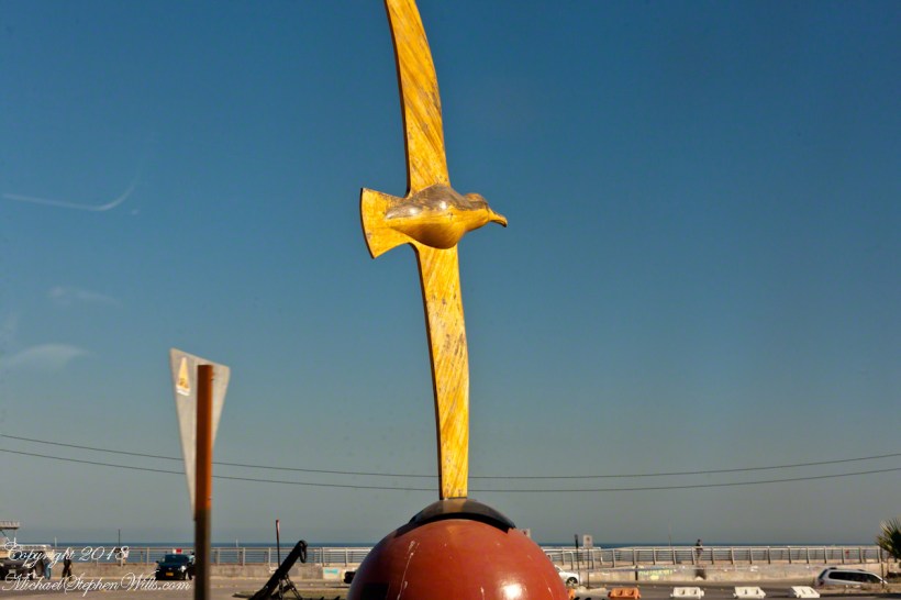
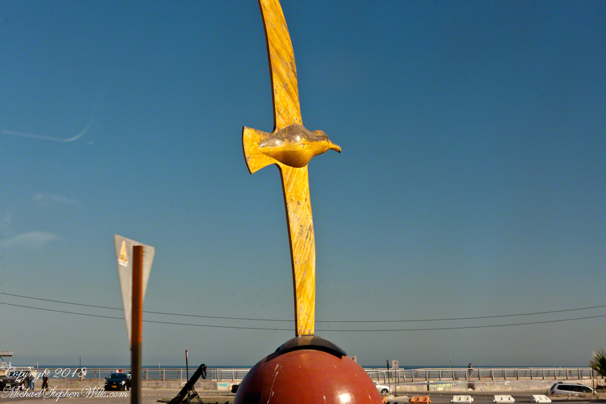
The bus passed a carved wooden statue of the albatross, near the terminal entrance. A bird of the southern ocean, familiar to mariners for the habit of following ships, this aspect of soaring the a familiar posture.
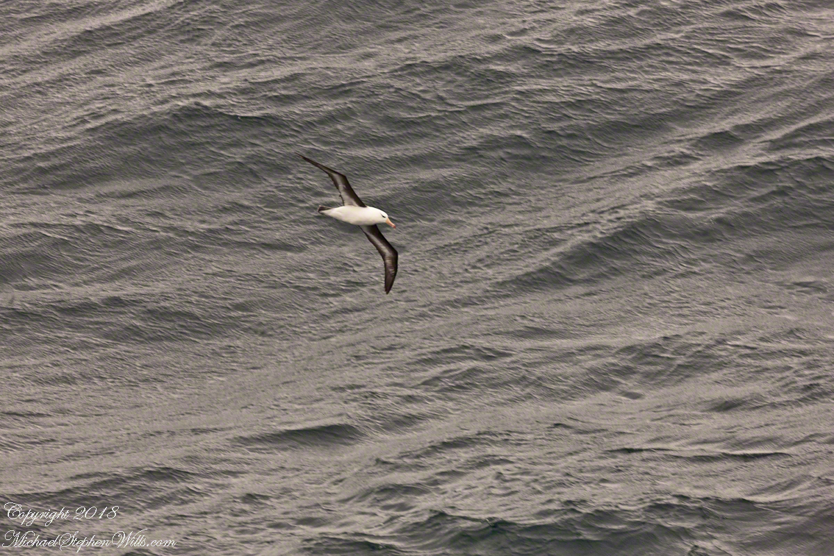
Here is a specimen in this posture following the Regatta on February 22 as we traversed the Southern Atlantic between the Falkands and Punta del Este. That day, many albatross soared among the 20+ foot waves, the wingtips very close to the water surface.
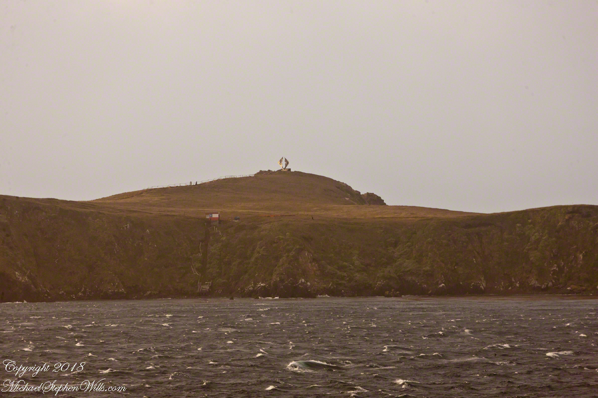
The day before, February 21, the Regatta approached the southern most point of the western hemisphere, Cape Horn, coming within a mile of the landing point and monument. At the top you can see the steel sculpture of the outline of an albatross set in a stone plinth.
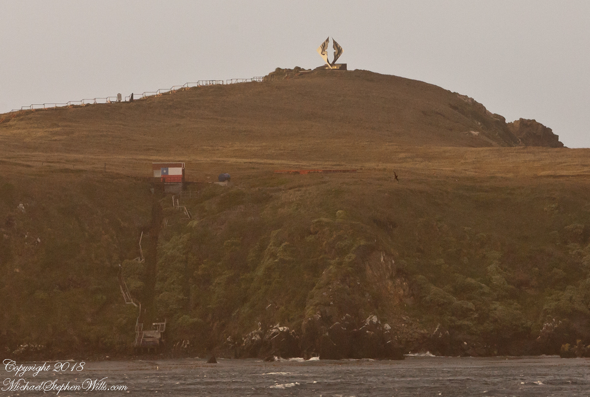
A cropped version of the above image, the albatross outline is easier to see. Also visible, at the cliff base, the landing, stairs, a platform painted as a Chilean flag, the railings leading up to the Albatross Monument.
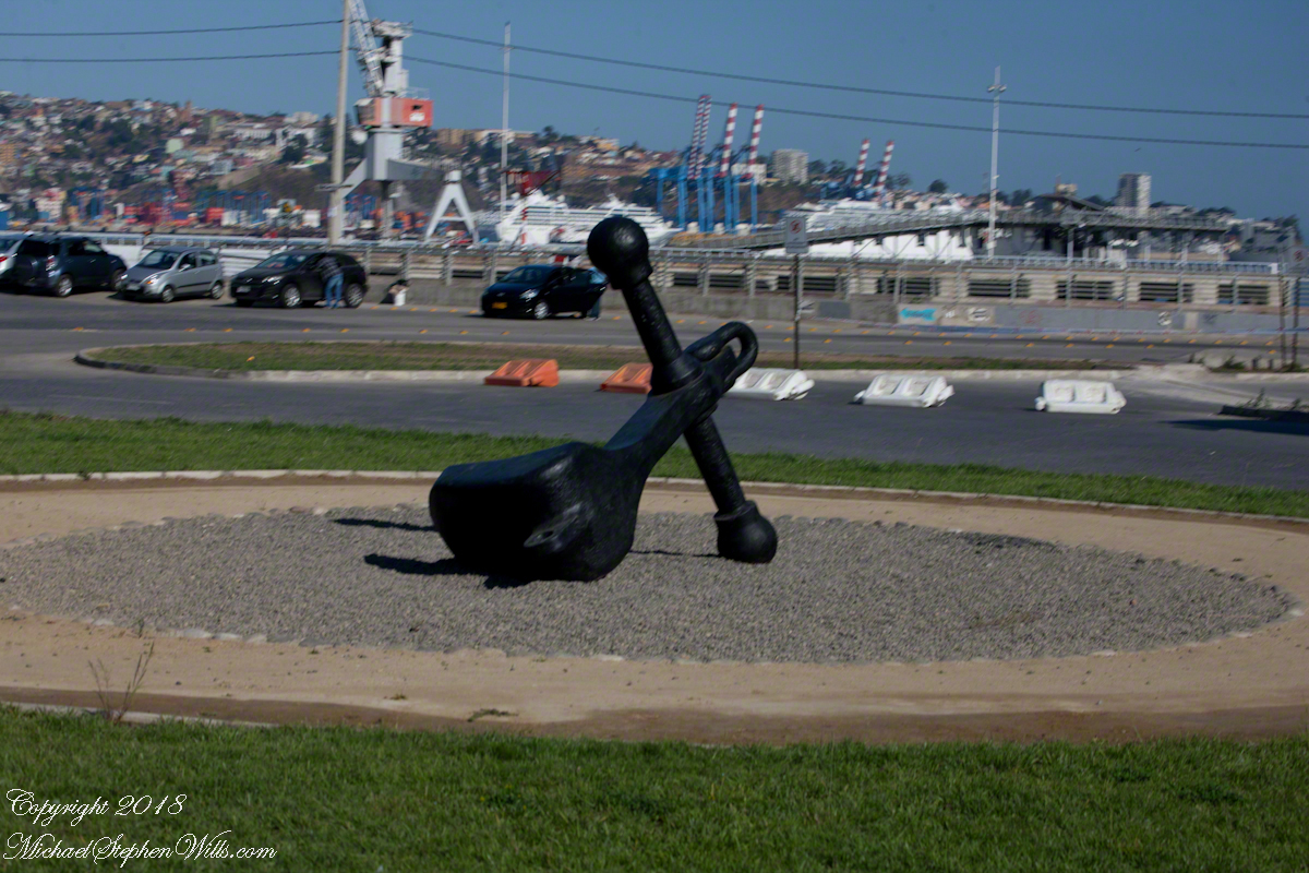
All of this to emphasize the unique position and reason for being of Valparaiso of the eastern South Pacific, made evident by the recurring motif of an albatross soaring among the waves. This retired anchor, close to the albatross sculpture, on our way to Argentina Avenue and the weekend street fair (to be continued).
Copyright 2022 Michael Stephen Wills All Rights Reserved
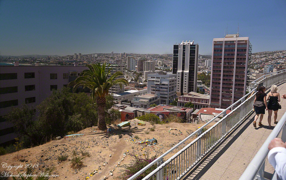
To begin with an epilogue to my last post, “Our Fifteen Minutes of Fame on Conception Hill” , our meeting with the El Mercurio reporter never appeared. Inquiries to the newspaper were promptly and courteously replied to, there was nothing. They suggested a search of the online archive and only a January 2014 fashion show, the article featured a photo from the same terrace. After our pleasant time we walked off some calories on Gervasoni Promenade, a showcase of city harbor and hillside views.
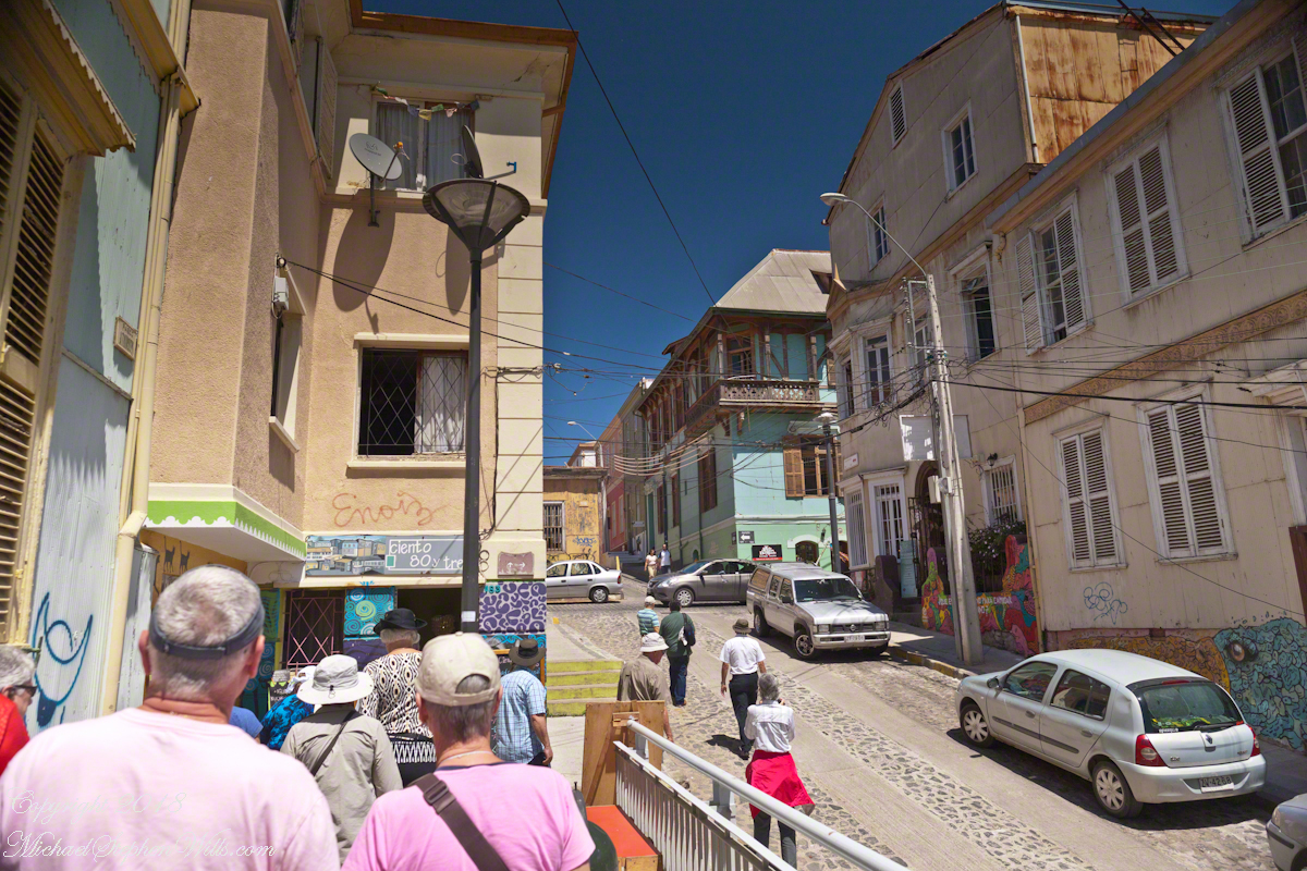
Most city visits on this cruise we traded independence and flexibility for the convenience of the guided tour. Ricardo, our guide, was a knowledgeable, good humored companion to our small group. After we left the promenade for Calle Conception Ricardo was most helpful.
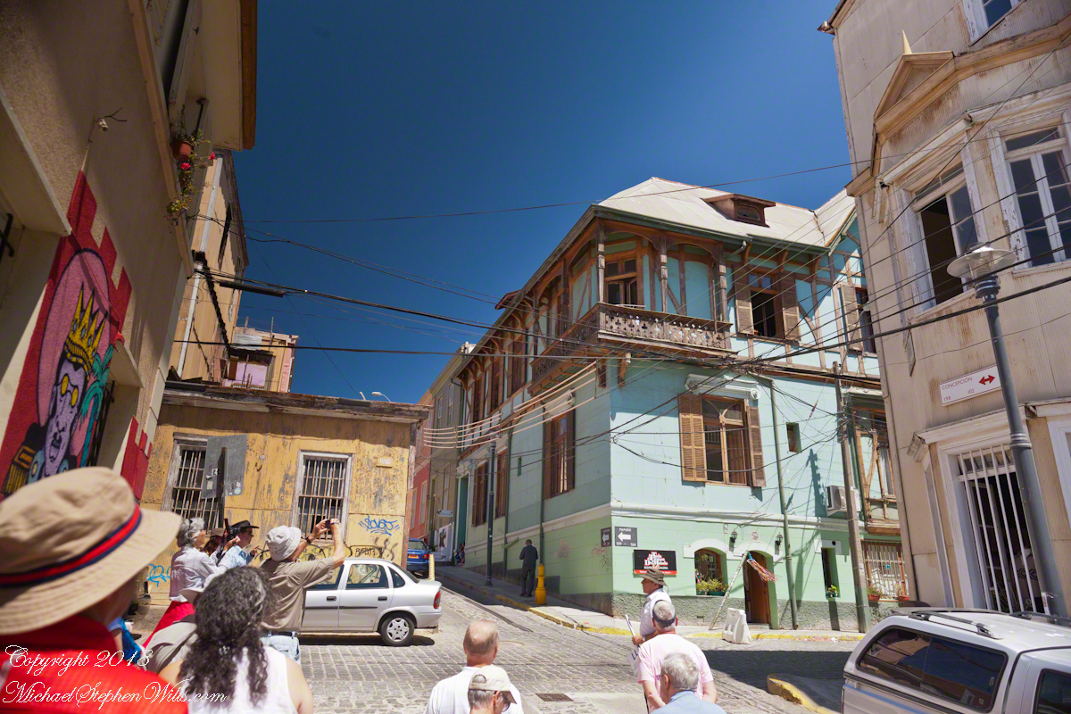
It was here I entered a photographic fugue, losing touch with my surroundings through concentration on capturing the moment.
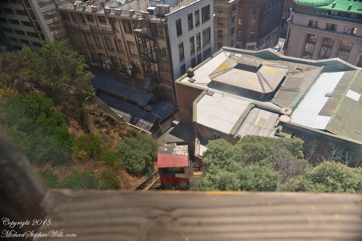
I walked ahead of Pam, expecting her to follow, and caught the view of the arriving care of the Conception funicular.
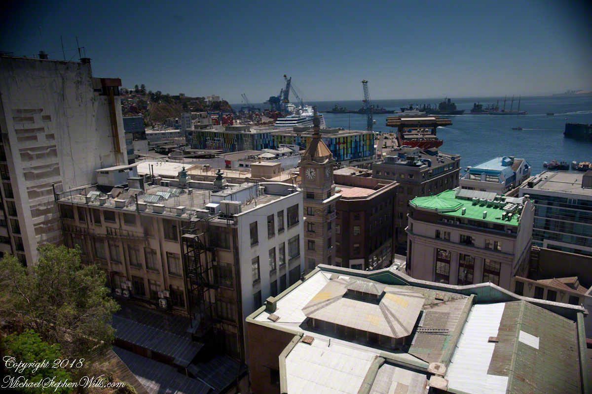
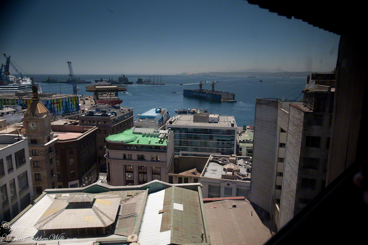
Wow, that’s the Regatta at dock. Other elements of this vista are the harbor, of course, then the famous Turri clock tower. Hmmm, almost 1:30 pm.
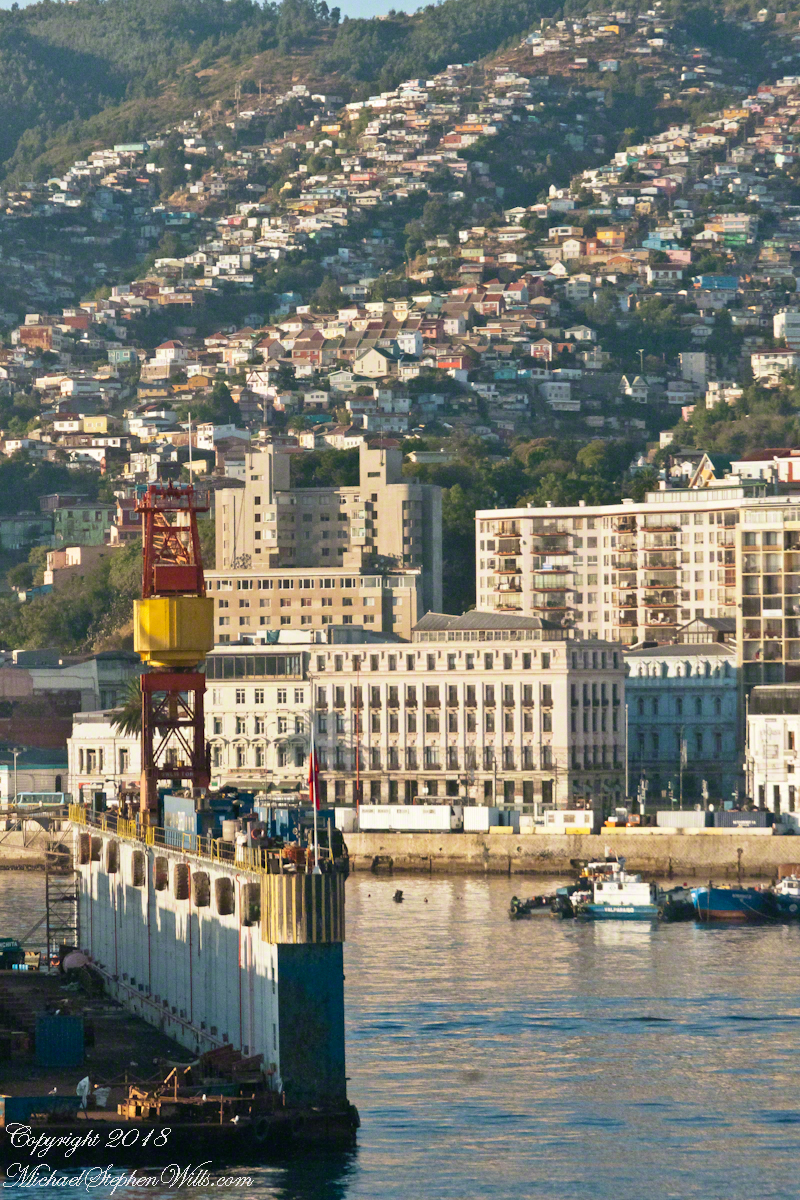
I was fascinated by the view of a drydock the Regatta passed while docking early that morning. It is the red structure with the letters “Sociber”, it even has a Facebook page!!!
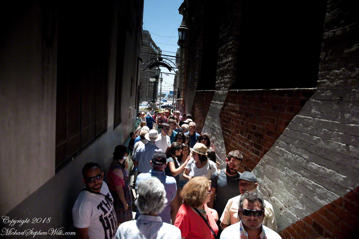
Once at street level the experience of the crowd on the alley opening onto Calle Prat, waiting for the ride up, brought back reality. “Where’s Pam?” I could not go back up because of the crowd, the views from the car fell from my mind.
I was on the street, disoriented and alone.
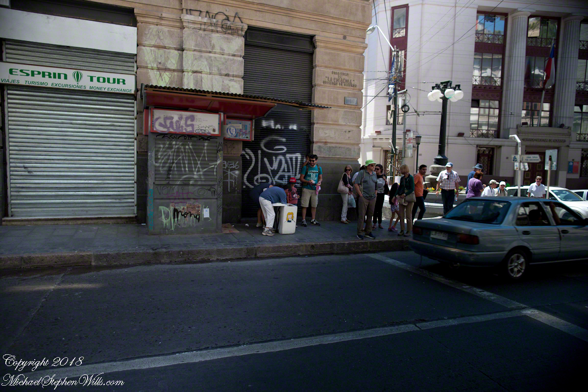
I fell back on photography to pass the time. Nowhere near the charm of Cerro Conception, typical downtown urban environment.
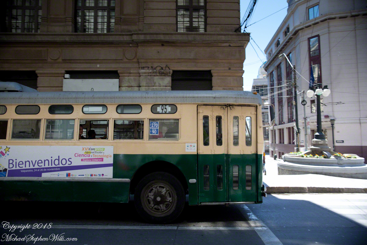
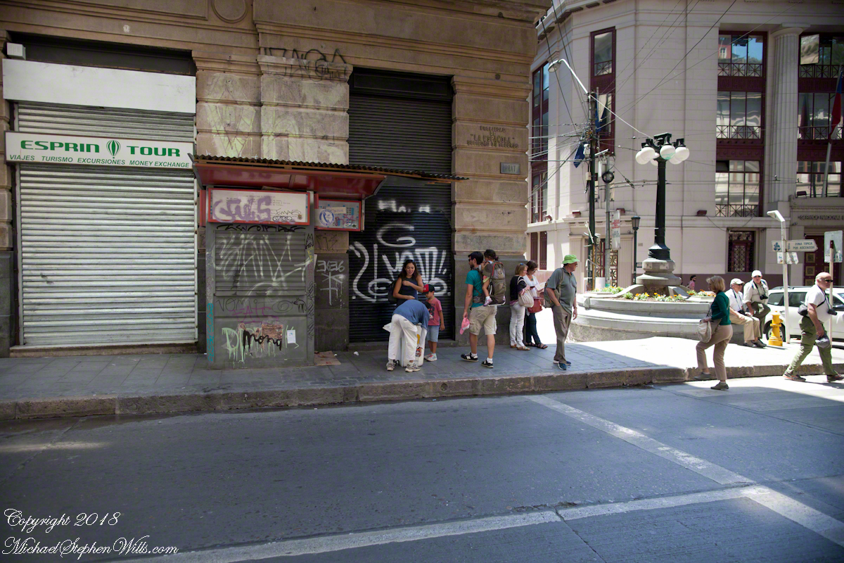
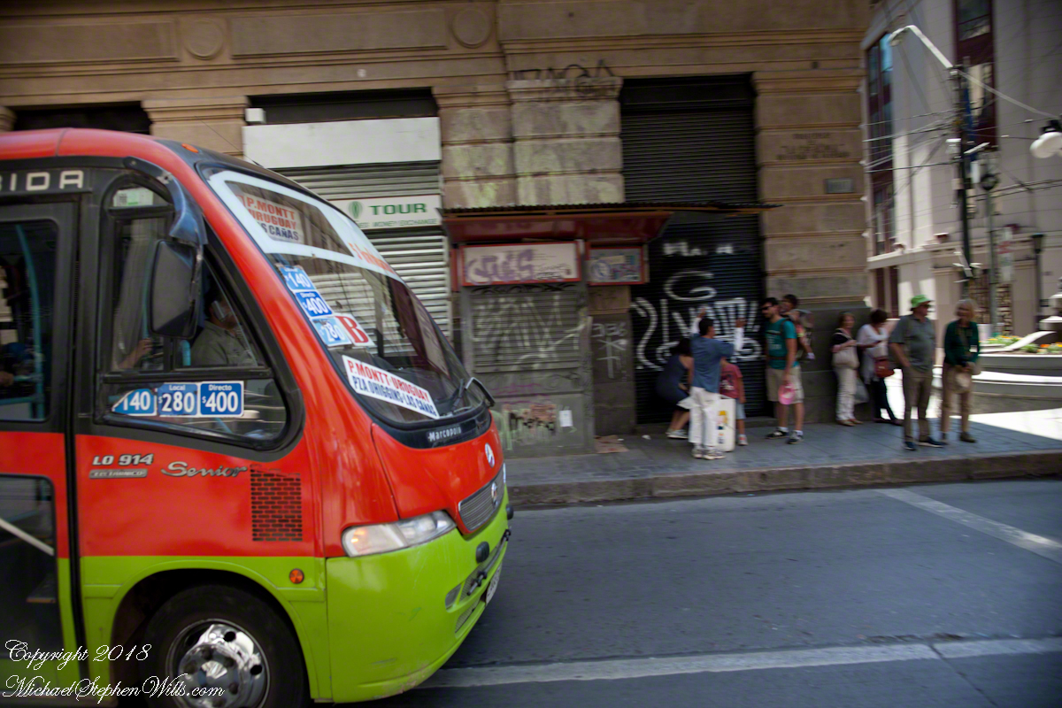
A man approached the family across Prat, “What is going on?” I wondered when the tour bus arrived. Still no Pam.
Oh, it is an ice cream vendor. Delicious. “Where’s Pam?” Ricardo not around, either. Back on the bus, waiting, a younger member of the tour was an Irish wag who declaimed on the benefits of freedom, even temporary.
Finally, Ricardo arrived followed by a few other tour members and Pam. Whew!! I’ll never live down “deserting” her. She was not able to find the entrance to the Conception funicular. Along with a few others they kept each other company until Ricardo rounded them up. That was a long 20 minutes (reading from the photograph metadata), I was worried. As I mentioned, at the time I was clueless about my whereabouts. Reviewing the numerous photographs, I found the “Servicio Nacional de Aduanas” (National Customs) building across the where Calle Esmeralda joins with Cochrane and pieced it together from there.
About the Conception funicular, that morning while the Regata docked I caught this view of Valparaiso hillside. It is a microcosm of the Andean topography, ravines cut through the heights. This is when I noted the Sociber drydock, it is on the lower left…look down into it — the business is to sell that dry space in the middle of the harbor for ship repair. The space and be flooded, opened to allow entry of a ship, then drained for work on the hull or whatever.
The city pioneers adapted to this terrain. As a entrepreneurial endeavor, in 1882 Mr. Liberio E. Brieba Pacheco founded the Mechanical Elevators Company of Valparaíso. Conception funicular opened the following year to facilitate the urbanization of Alegre and Concepción hills. Conception funicular is closed for repairs currently, from 1883 until recently this, the oldest and first funicular of Valparaiso lifted people from the downtown Plan (plain) to the hilltop for a small fee.
Funicular is derived from latin “funis” for rope. It is an elevator that runs two counter balanced cars on a rails on a steep, less than vertical, slope. As one car rises the other lowers.
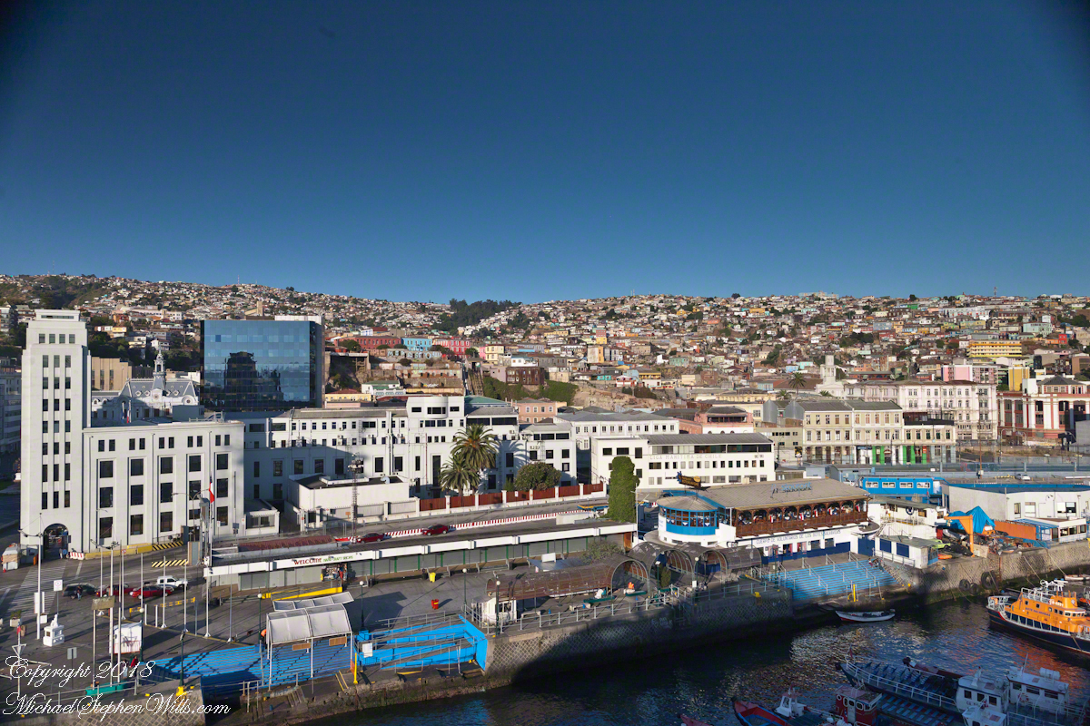
Here are some views of the Conception funicular and environs as seen from the upper Regatta deck. First, a 24 mm wide angle view. Look to the center for the rails and one car at the top. Above are the buildings of Cerro Conception (Conception Hill).
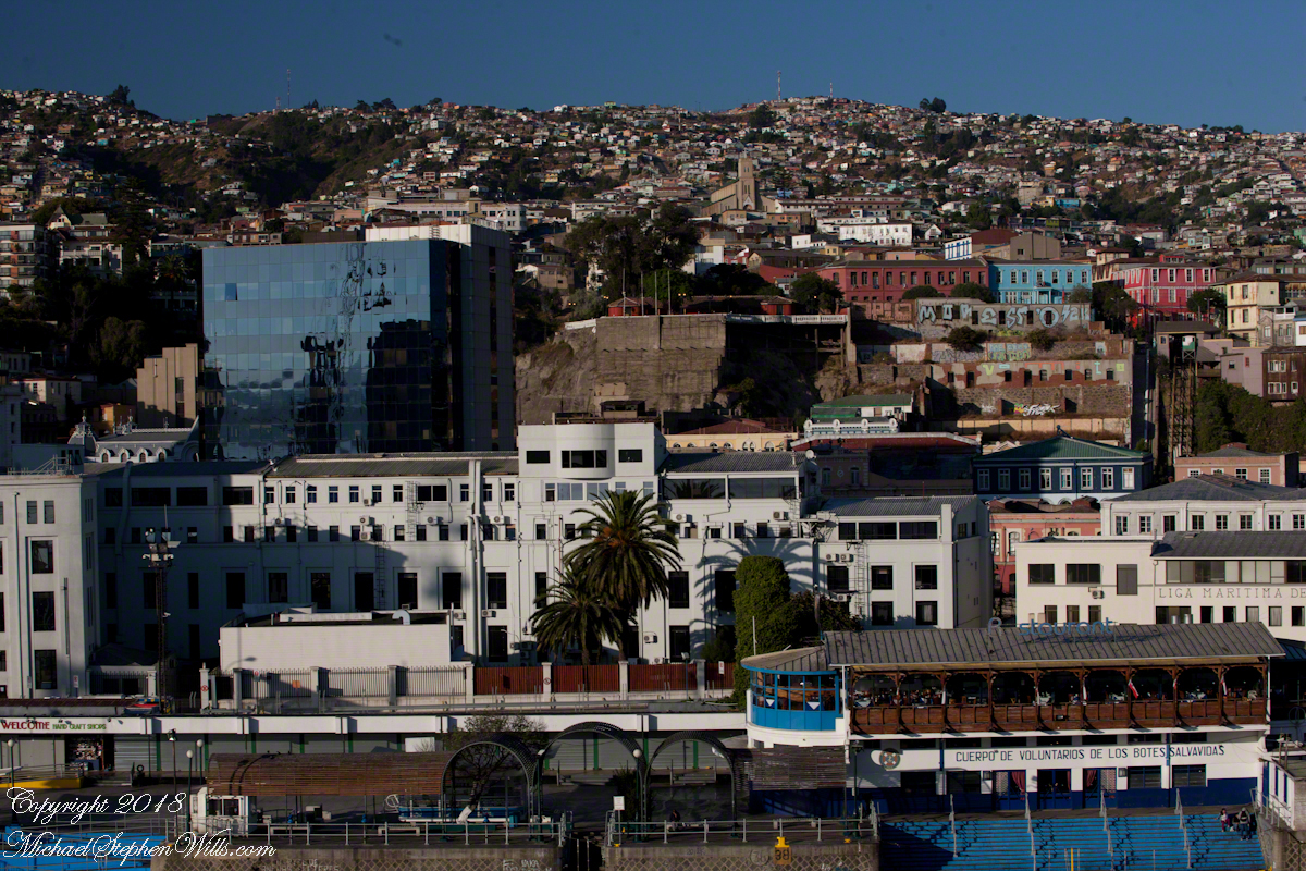
The funicular emerges from downtown on the right in the following view. The prominent church is Parroquia Perpetuo Socorro, just above the midpoint. It rises from Cerro Cordillera, above Cerro Conception. A Catholic church founded by the Redemptionist Fathers, the first stone was laid down 1905. Learning from the devastating earthquake of 1906, the engineer Juan Tonkin chose construction of Oregon pine and concrete to stand tall today. What a view (I’ve seen photographs).
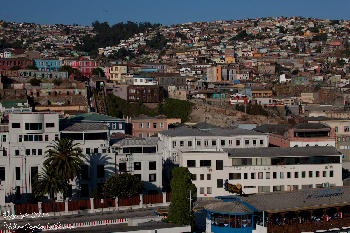
A view a bit to the right, many of the colorful exteriors are zinc panels brought from early sailing ships, repurposed as siding.
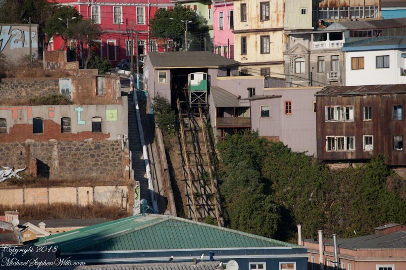
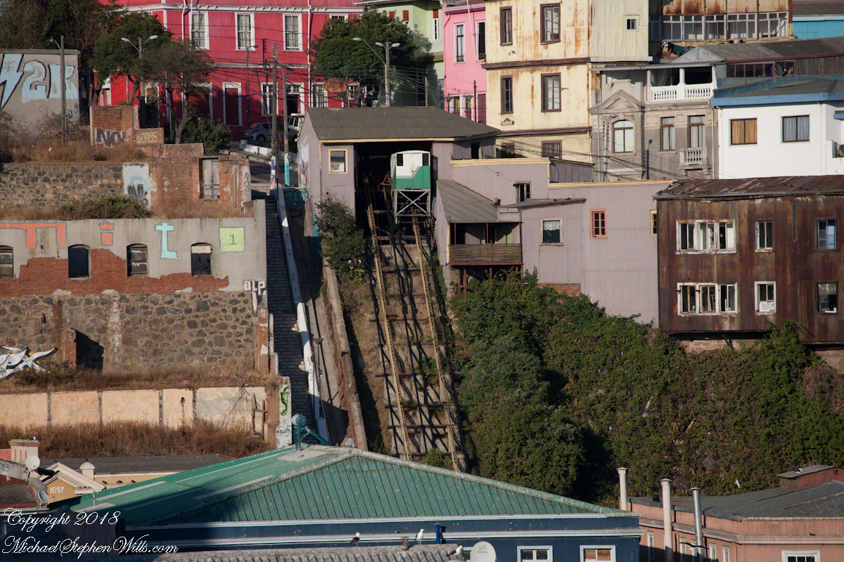
After the wide angle shot I used the variable “zoom” lens for the rest. Here is a close view of the Conception funicular. The business of building and running these services thrived, over the years up to 29 funiculars and one elevator, served the city portenos (people of the port). In 2018 seven are in operation, nine are under a process of restoration and modernization, including Conception.
Copyright 2022 Michael Stephen Wills All Rights Reserved
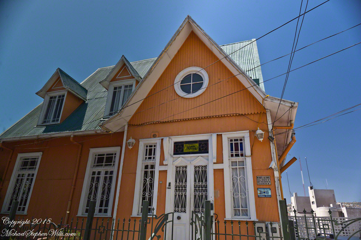
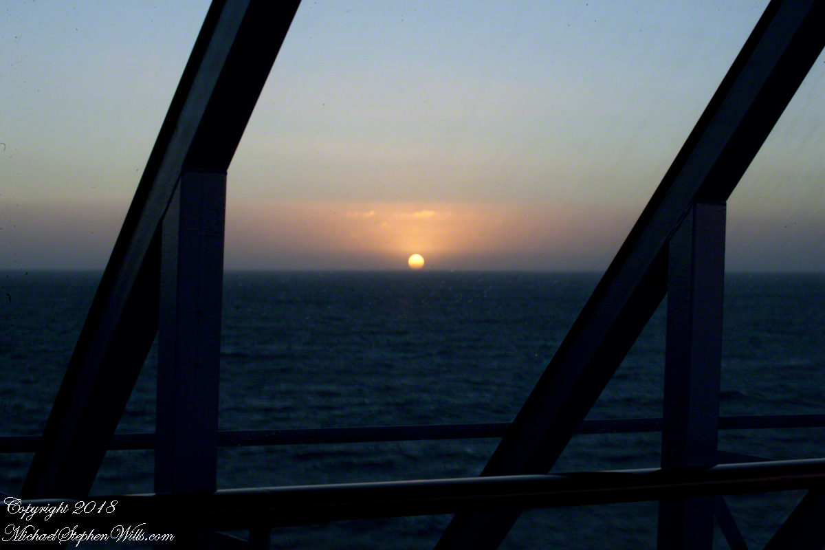
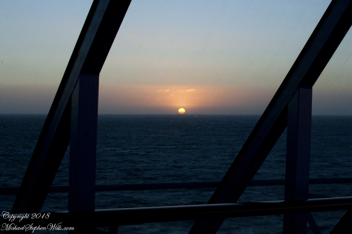
Posting about our departure from Valparaiso, Chile (see Valparaiso Departure III “The Sunset”) brings us to the time spent wandering this World Heritage Site, added to the UNESCO list in 2003. Within the amphitheater of hills is Cerro Conception (Conception Hill), historically settled by English and German immigrants. The façade of the Hotel Brighton, a building from the 19th century heyday of Valparaiso when it was a stopping point for shipping through the Straits of Magellan, reveals why so many of the buildings are alike: all are constructed from materials dropped off from sailing ships.
The theme of the Hotel Brighton evokes thoughts of immigrants remembering their origins, emigres claiming a spot of real estate to mold a sense of place for themselves. This goes both ways, Valparaiso, Indiana was formerly Porterville of Porter County. The motive force behind the renaming were the memories of the retired Captain David Porter, the sole survivor of an attack on his ship USS Essex by the British frigates Phoebe and Cherub in the War of 1812, within sight of Valparaiso. Fifty eight (58) United States Marines lost their lives in that sea battle. To point out the obvious, Captain Porter is the namesake of Porter County.
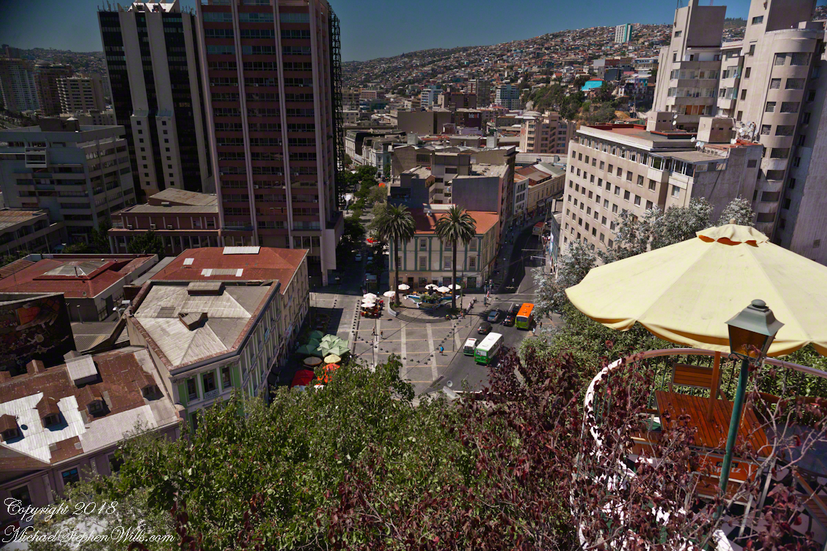
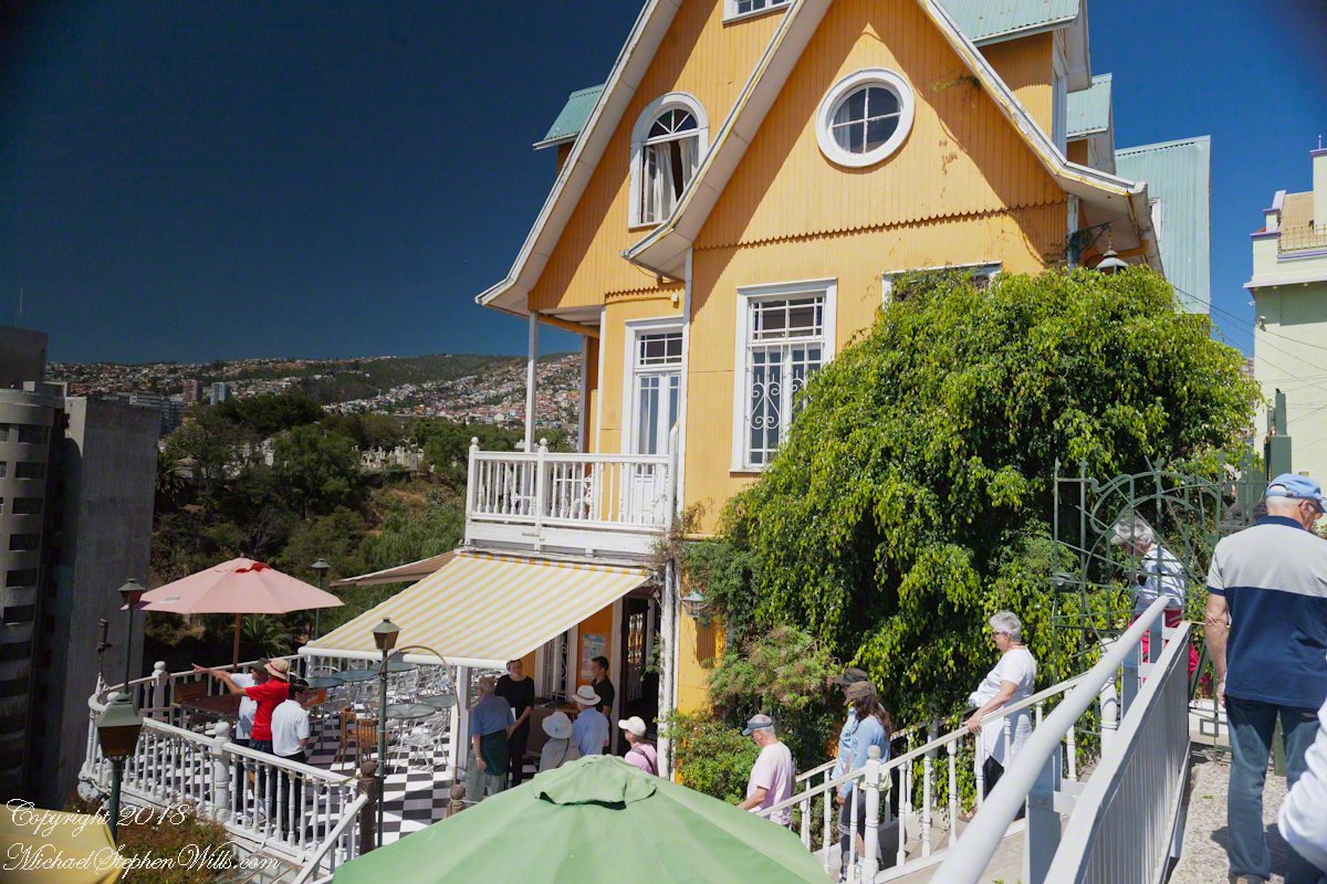
Pam corrects me when I say we “stopped for lunch” at the Hotel Brighton, pointing out we “only” had a glass of red wine and an empanada. Both were tasty, even more so with this marvelous view looking north into the other hills of the city. The yellow umbrella is on the hotel restaurant terrace.
I missed capturing the signature wrought iron gate forming the word “Brighton” among decorative scrolls. Built on the edge of Conception Hill it overlooks the coastal plain almost all of which is man-made.
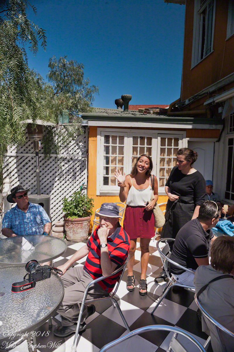
During our refreshment, this young lady (see photograph below) introduced herself as a reporter for El Mercurio. Accompanied by a photographer, she interviewed us and we had our photograph taken, I returned the favor with the following photograph saying the story might appear in the next edition. Standing next to her, with a puzzled look, is our waitress who was from the States.
El Mercurio de Valparaiso is the oldest continuously published Spanish language newspaper in the world. In my research for these photographs I discovered the newpaper officers were a short walk from the landing of the Ascensor Conception.
Copyright 2022 Michael Stephen Wills All Rights Reserved
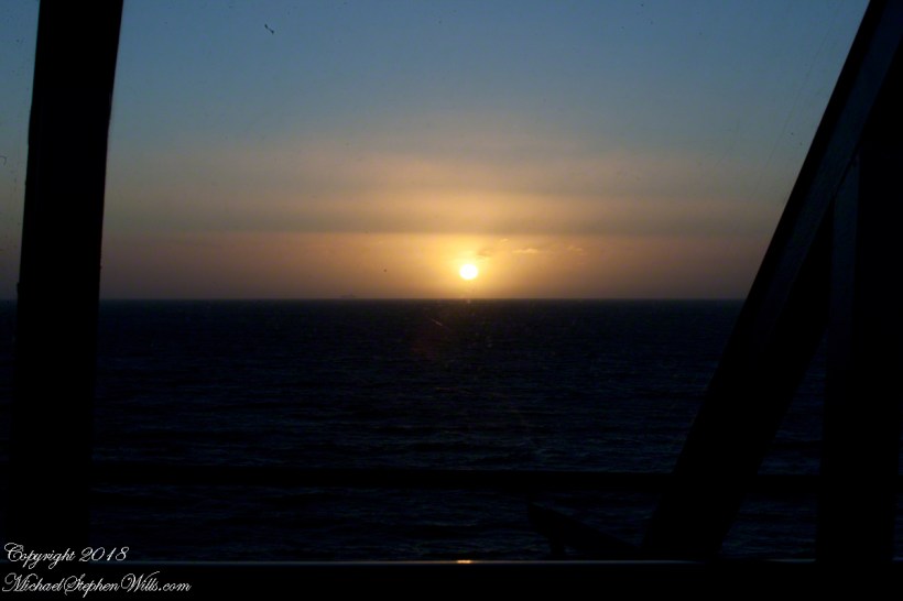
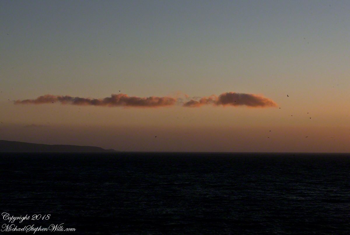
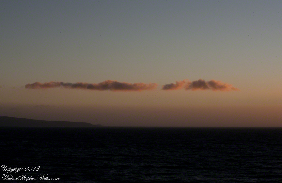
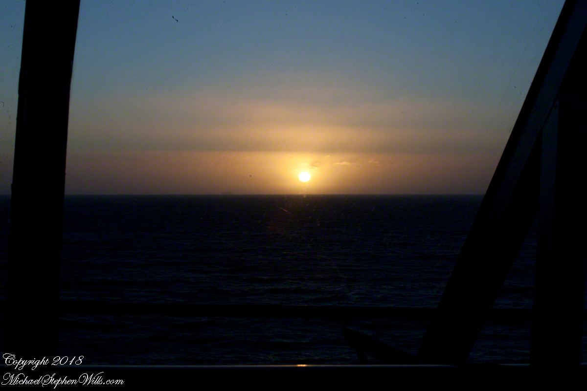
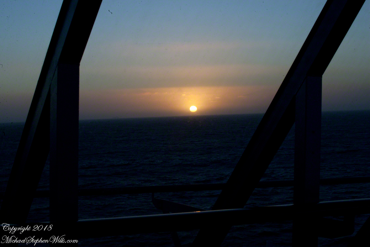
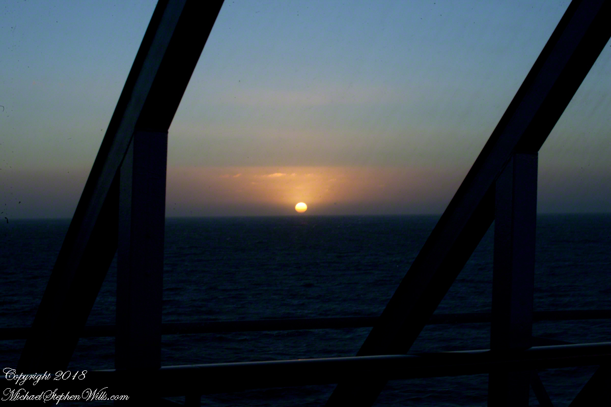
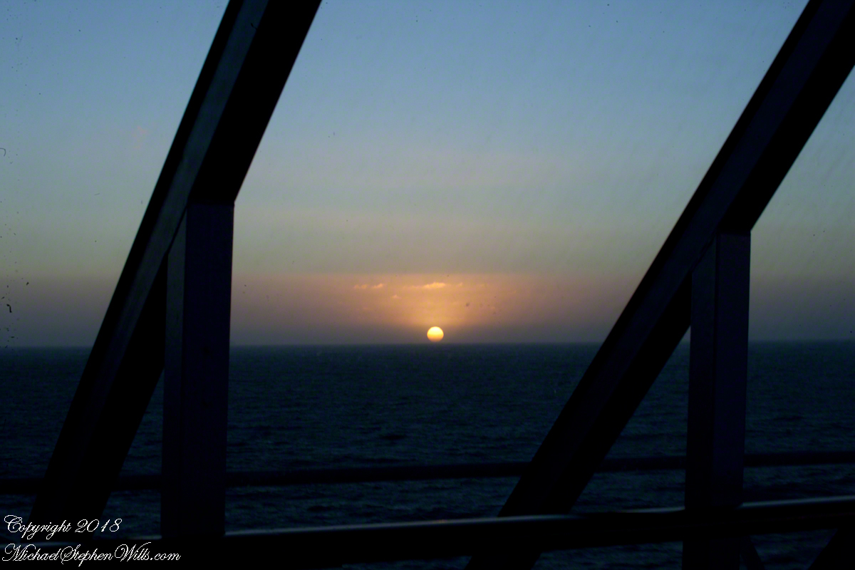
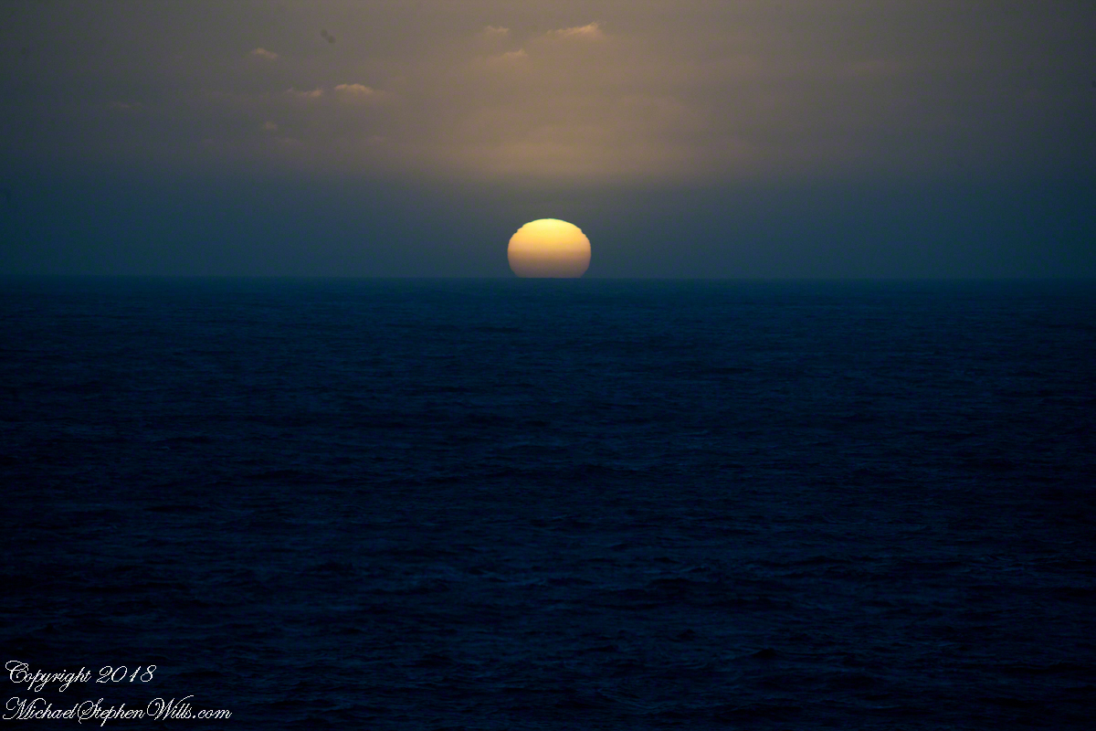
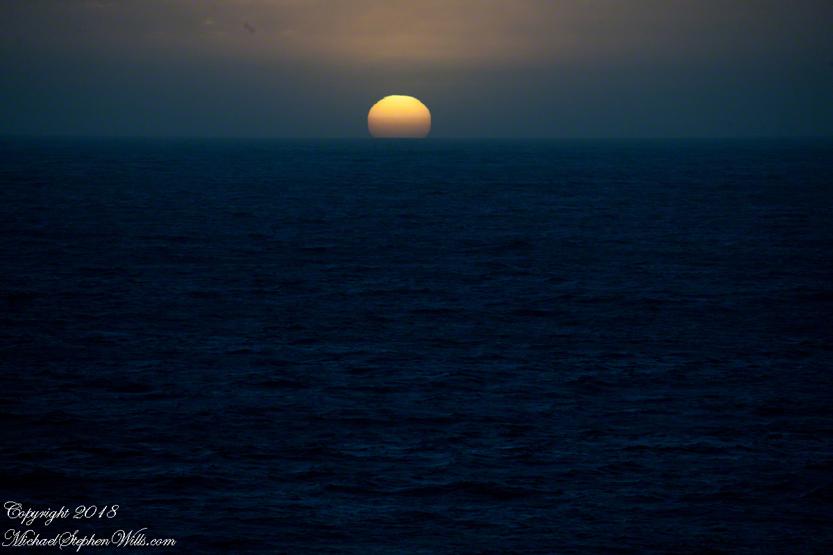
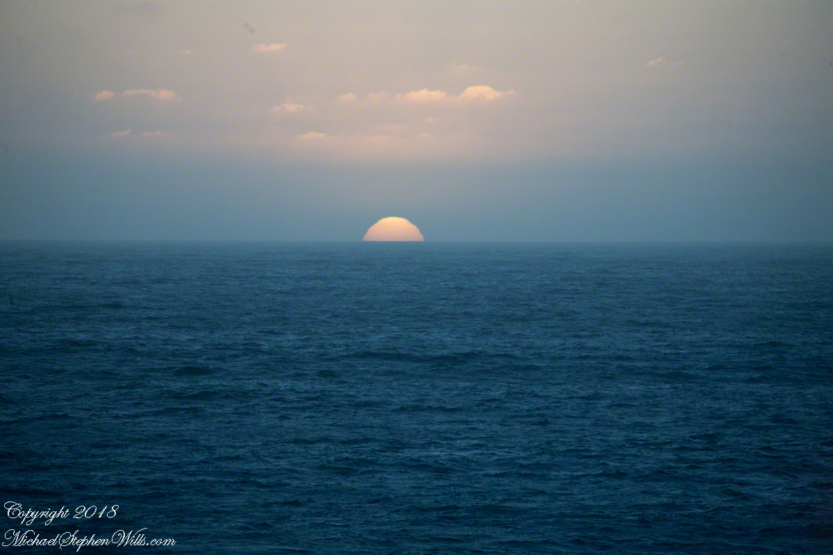
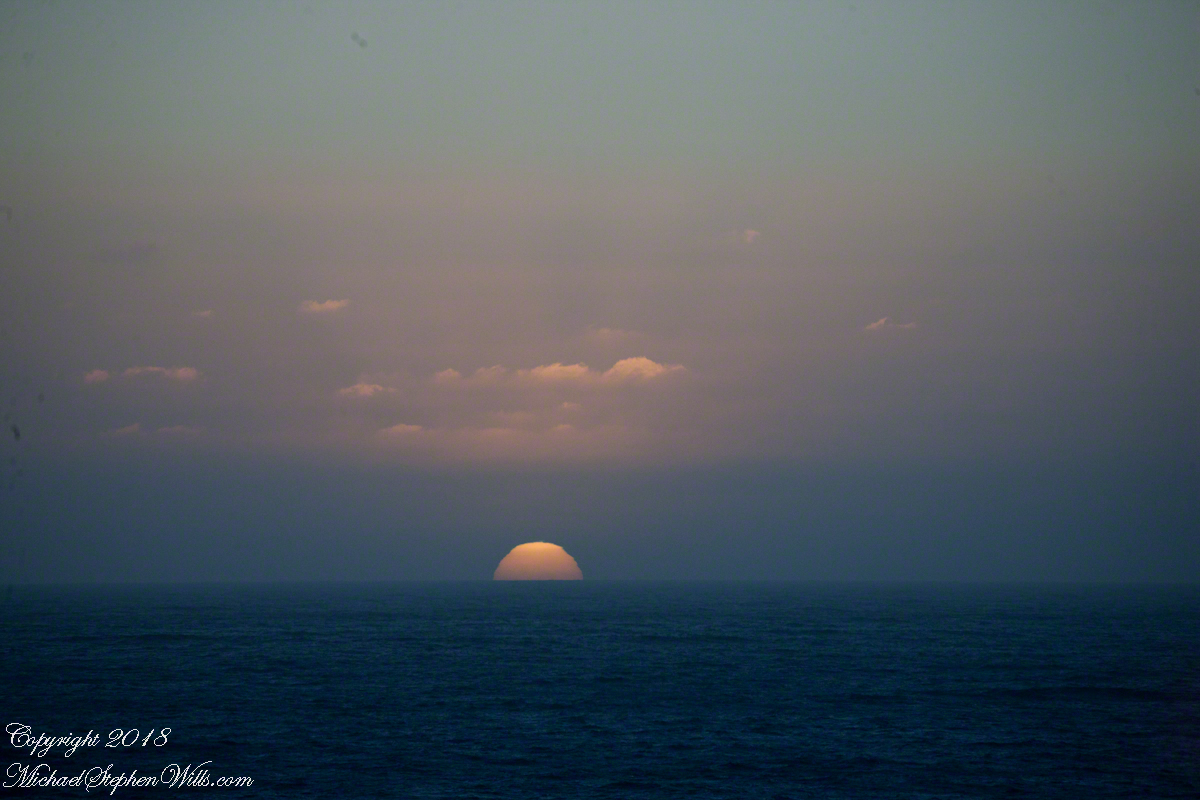
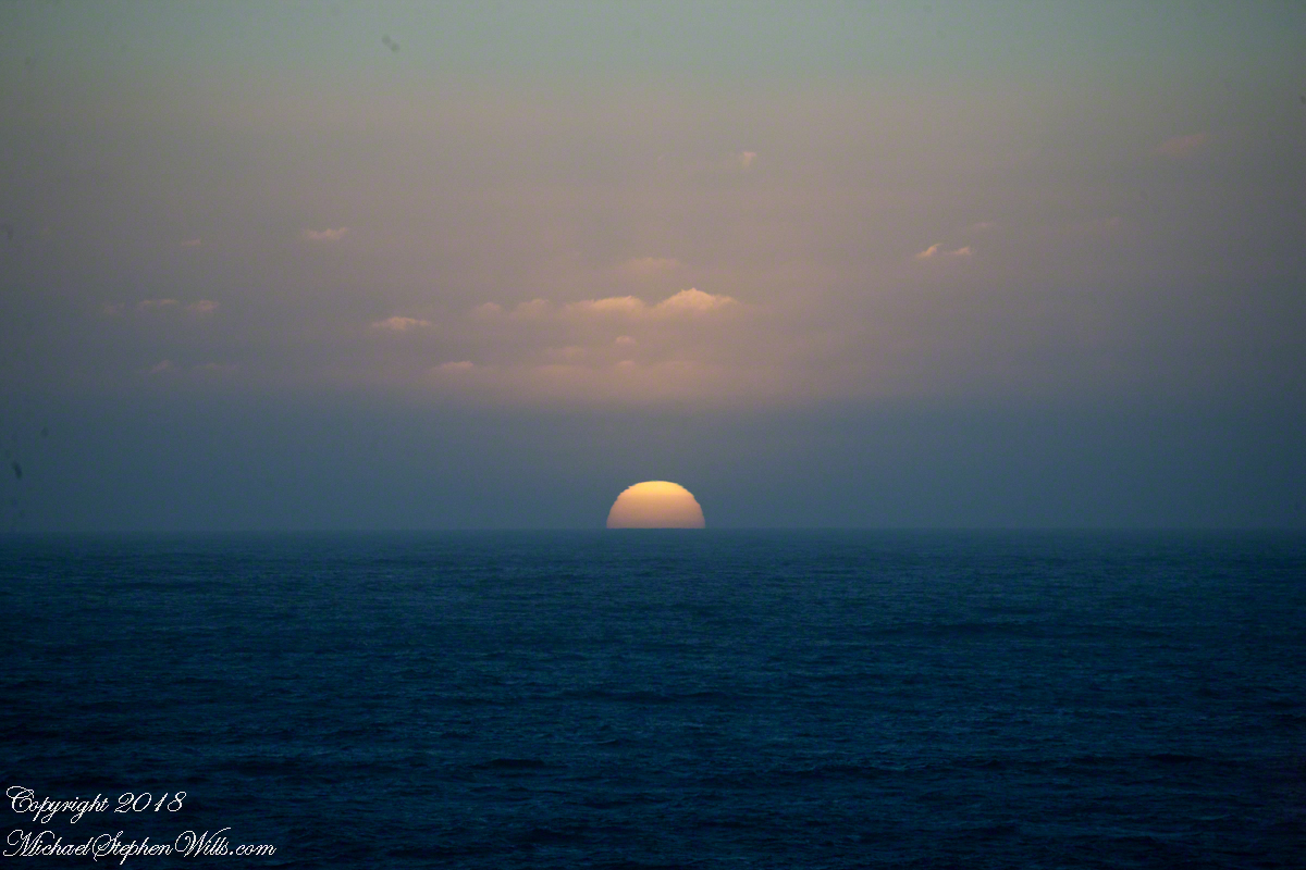
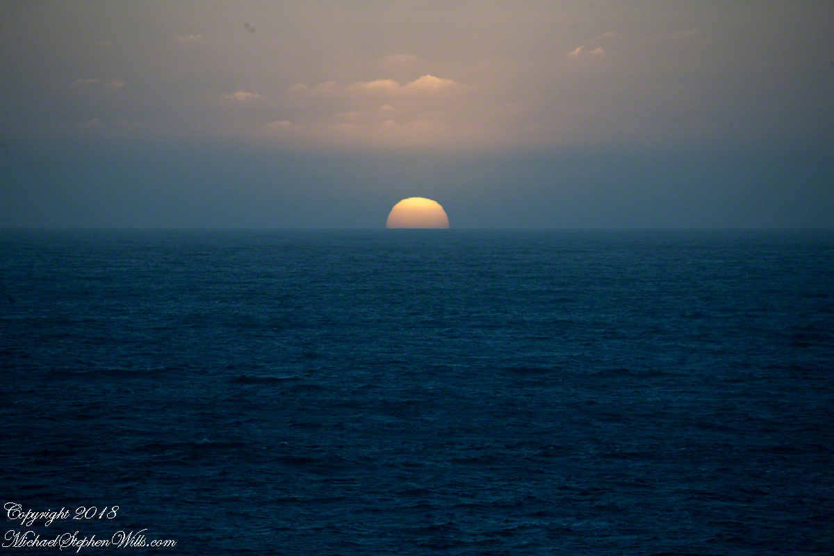
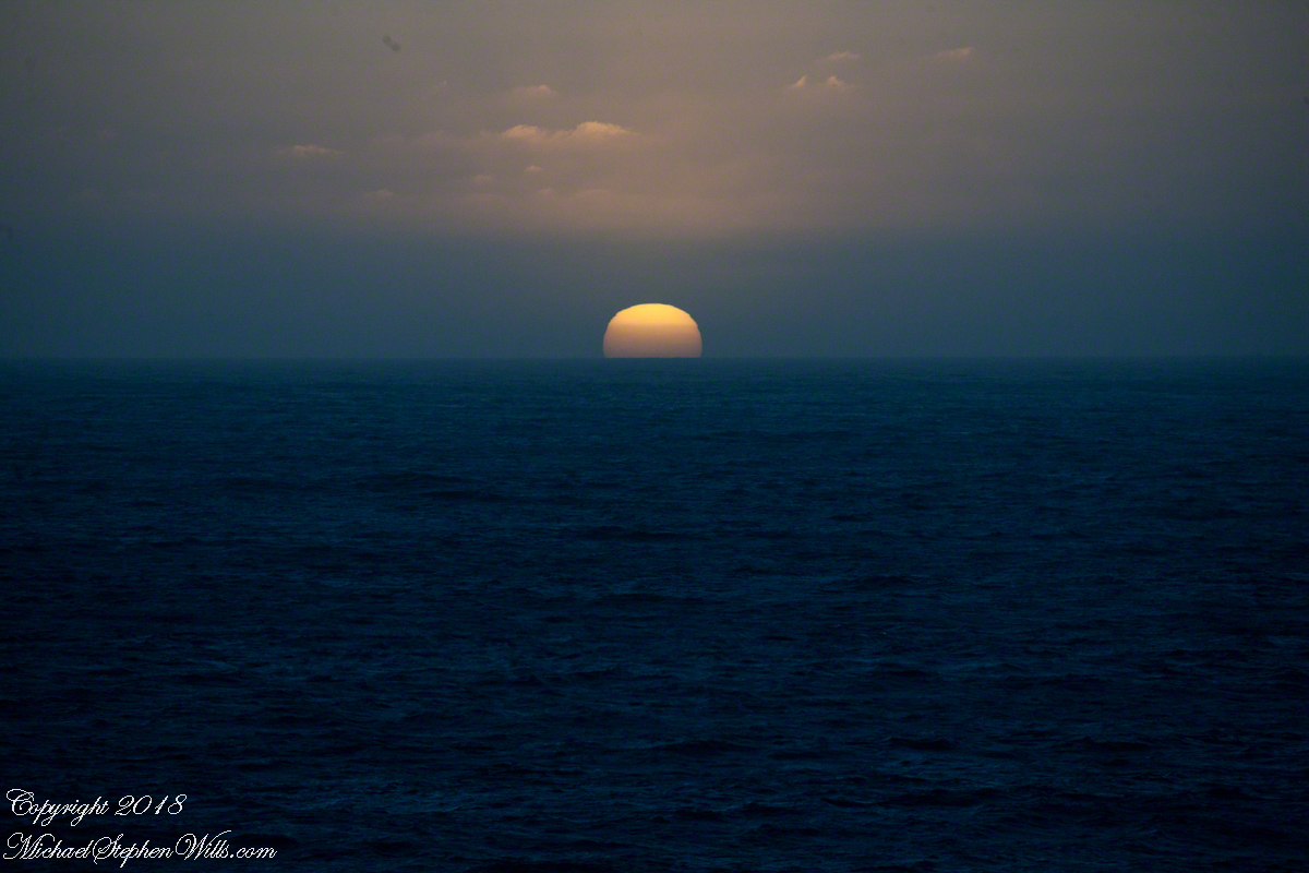
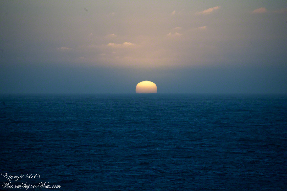
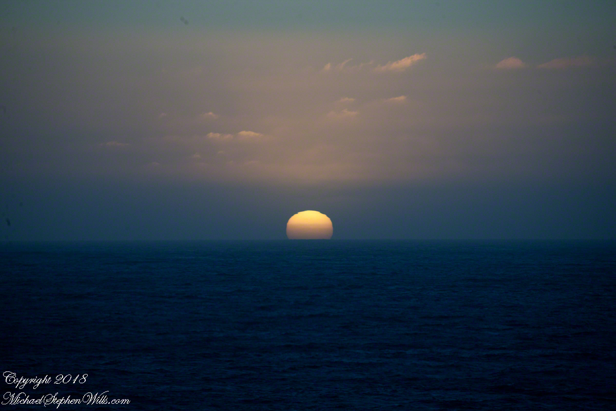
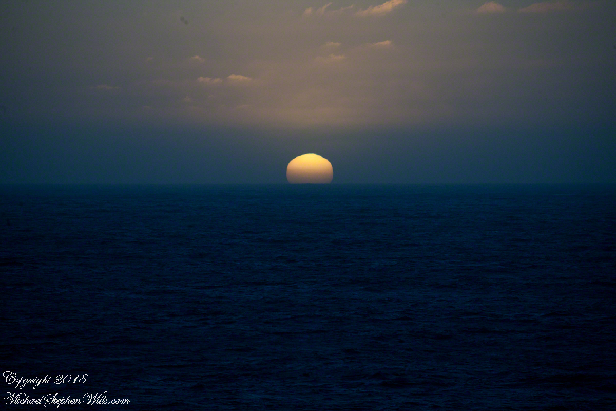
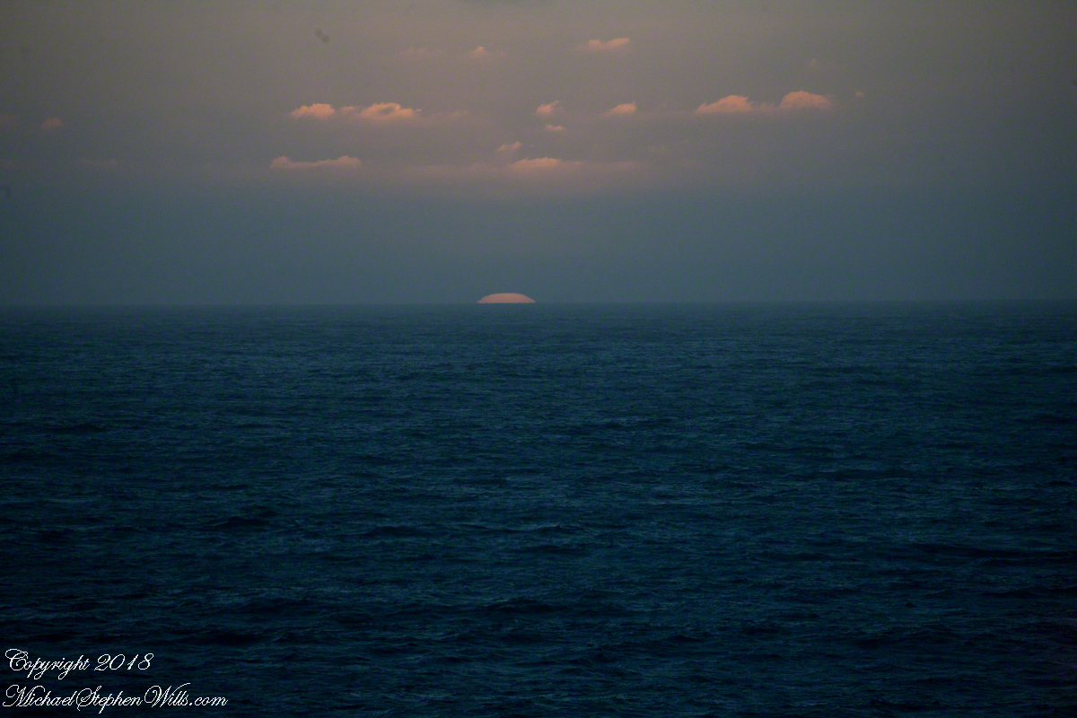
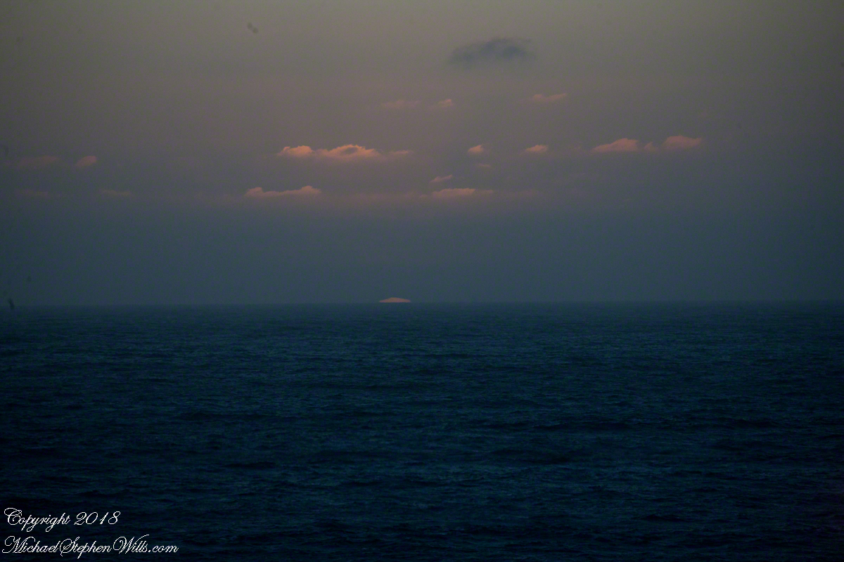
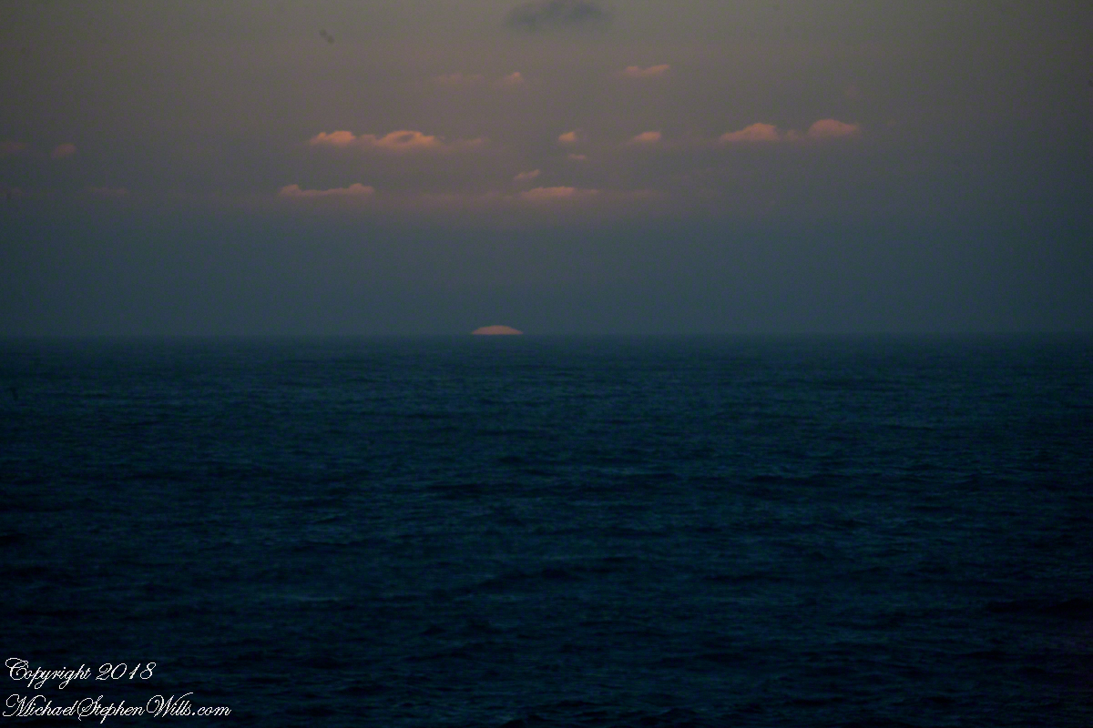
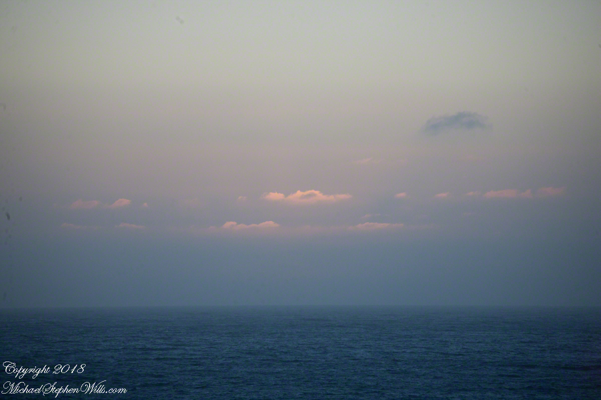
Two minutes after capturing the last light on Concon Point, see “Valparaiso Departure II”, turning the camera 180 degrees, to the south, looking along the Chilean coast, to capture birds on the wing headed toward shore at day’s end. Remembering other times,
waiting for darkness
with a sky map, studying it to make sense of the stars.
How far? How large?
Light from our star, eight minutes old,
grazed the earth’s rim the breath of a moth wing ago.
Connect the dots, stories of heroes, monsters.
Our star, as we know it now
Singular, alone,
Progress, an illusion to be understood
No less mysterious for that
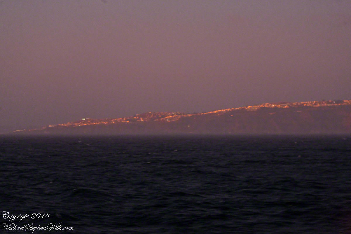
Look back to the sheltering headland of Valparaiso, glowing.
Copyright 2022 Michael Stephen Wills All Rights Reserved
The resolution of the Canon EF 24mm f/1.4L II USM makes this lens a favorite of mine for landscape work. Let me show you why.
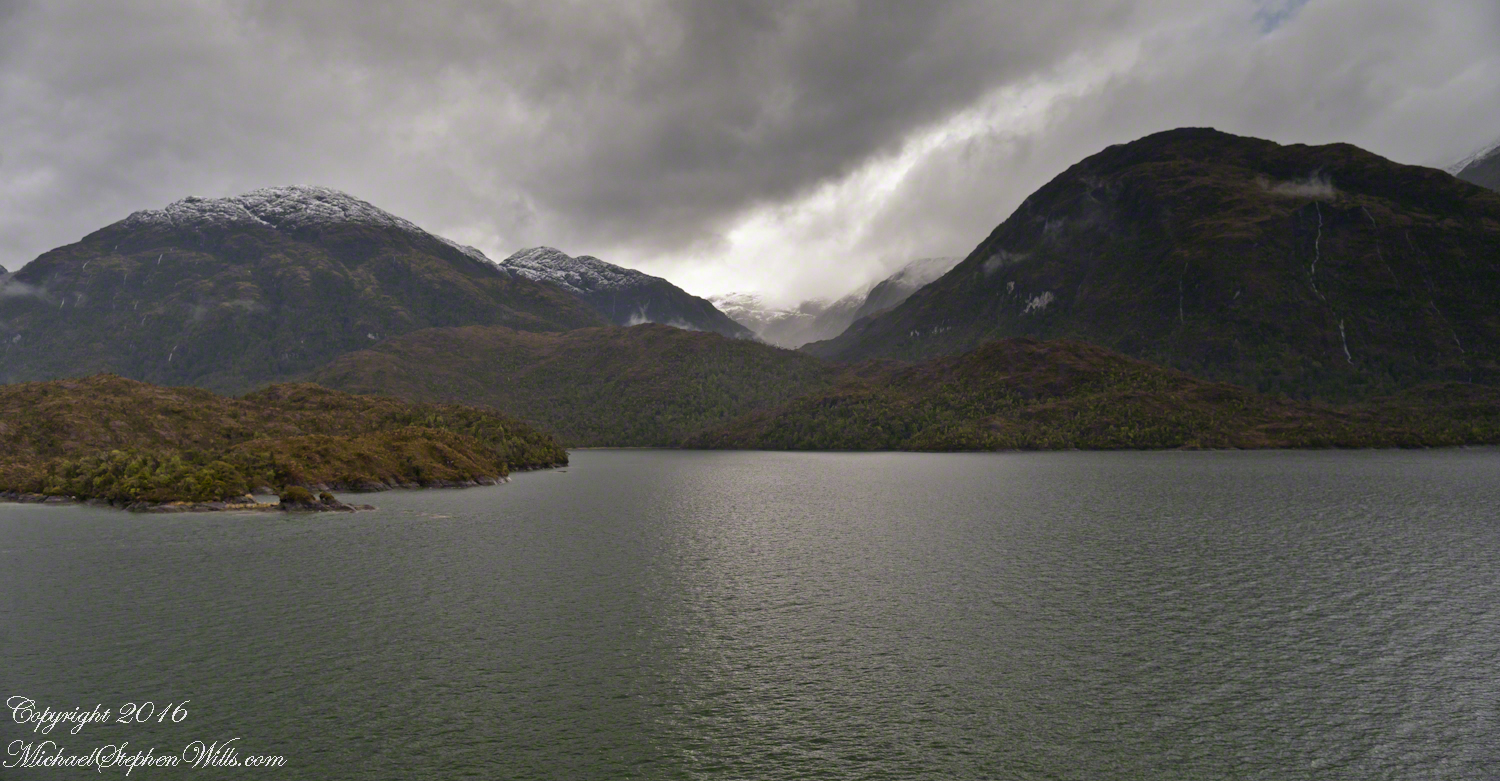
The valley today’s posting lies behind the tree. It is a broad valley shaped by ancient glaciers.
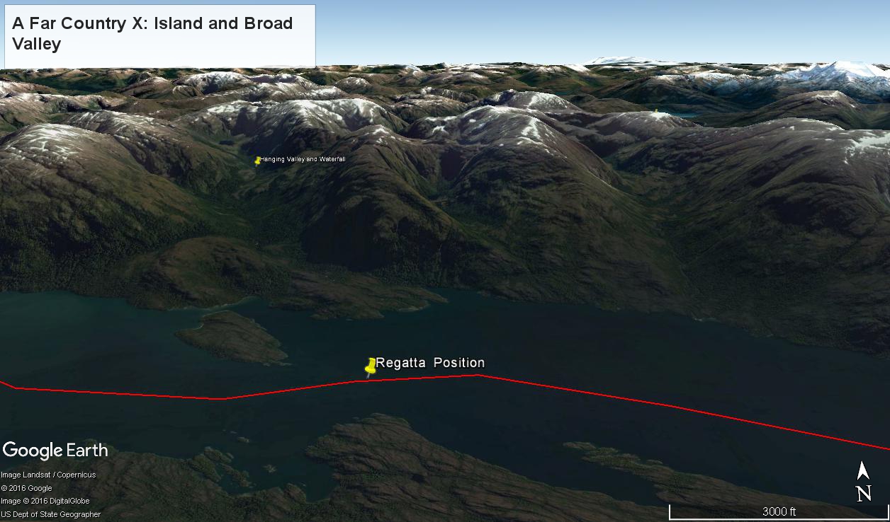
Here is the Google Earth view, from an elevation of 9,400 feet, with the ship position marked. Northwest is a pushpin titled, “Hanging Valley and Waterfall.”
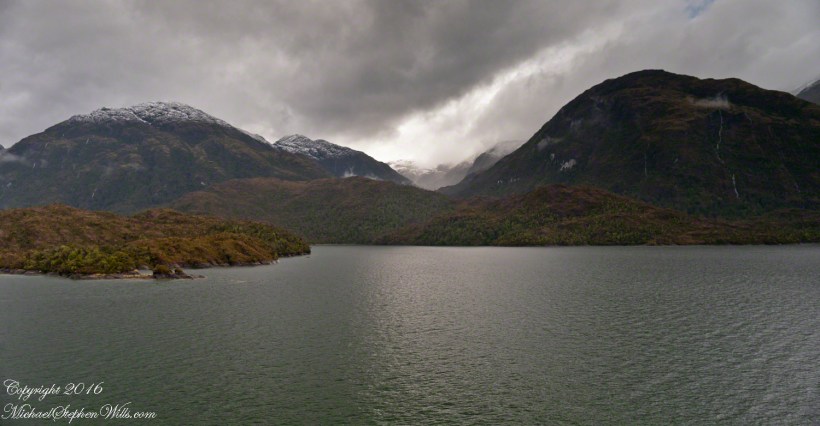
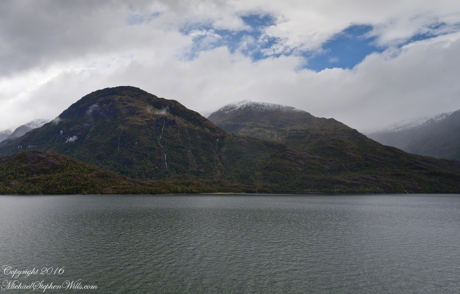
The waterfall marking the hanging valley is visible in the following photograph. All photographs in this posting are from a Canon EOS-1Ds MarkIII, 24 mm lens (see above for complete name), on a Manfrotto travel tripod. ISO 500, f5.6 or f6.3.
With a point of view about 50 feet above the water the valley bottom is hidden behind an 800 foot hill and the water fall is just above the hill. See it? …..I didn’t think so.
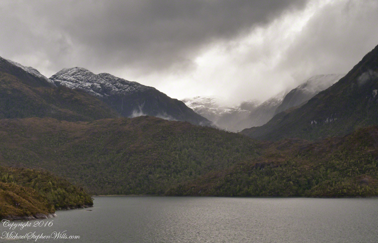
There is the island with the tree, to the left. The following image is the same photograph, with the central section enlarged.
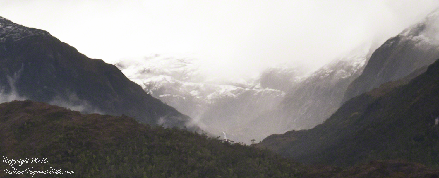
The enlargement brings out the play of light, the low clouds, deep in the valley. To provide scale, know those are full sized pines on the hillside, foreground. The waterfall is just about visible. I will enlarge the image one more time.
There it is!! I stepped up contrast, as well.
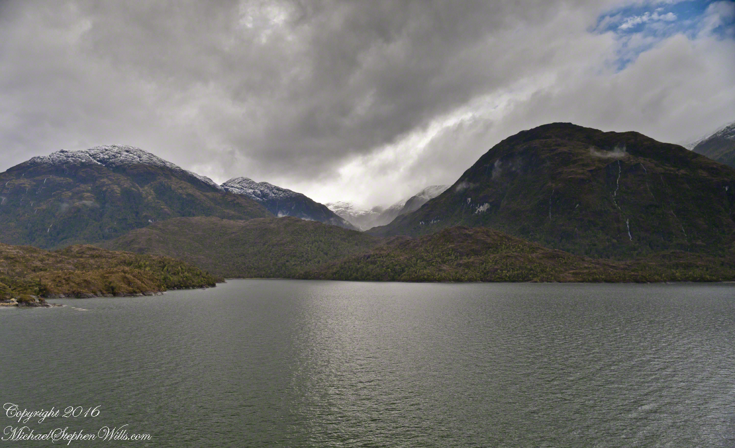
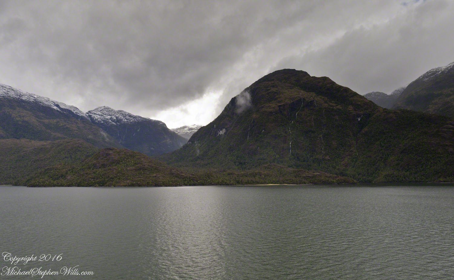
Here is another version of the original view. That patch of sky had opened up seconds after the first shot and, as a result, the 3,000 door mountain and waterfalls, on right, are better lit. Notice the bare rock face on the mountain slope, marking a landslide.
Click this image for a high resolution version, in your browser.
A different landslide Scar is featured in two previous blogs,
The resolution of the Canon EF 24mm f/1.4L II USM makes this lens a favorite of mine for landscape work. Let me show you why.
The valley today’s posting lies behind the tree. It is a broad valley shaped by ancient glaciers.
Here is the Google Earth view, from an elevation of 9,400 feet, with the ship position marked. Northwest is a pushpin titled, “Hanging Valley and Waterfall.”
The waterfall marking the hanging valley is visible in the following photograph. All photographs in this posting are from a Canon EOS-1Ds MarkIII, 24 mm lens (see above for complete name), on a Manfrotto travel tripod. ISO 500, f5.6 or f6.3.
With a point of view about 50 feet above the water the valley bottom is hidden behind an 800 foot hill and the water fall is just above the hill. See it? …..I didn’t think so.
There is the island with the tree, to the left. The following image is the same photograph, with the central section enlarged.
The enlargement brings out the play of light, the low clouds, deep in the valley. To provide scale, know those are full sized pines on the hillside, foreground. The waterfall is just about visible. I will enlarge the image one more time.
There it is!! I stepped up contrast, as well.
Here is another version of the original view. That patch of sky had opened up seconds after the first shot and, as a result, the 3,000 door mountain and waterfalls, on right, are better lit. Notice the bare rock face on the mountain slope, marking a landslide.
Click this image for a high resolution version, in your browser.
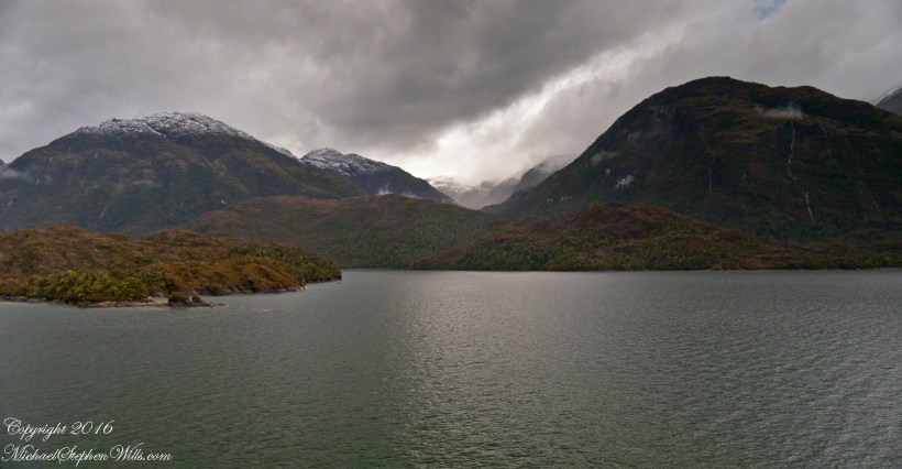
The Regatta’s course brought us closer for the two following shots.
The lovely sky is still visible…..
….one minute later the clouds gather and relative darkness returns.
(Click any photograph to visit my online gallery)
Copyright 2022 Michael Stephen Wills All Rights Reserved
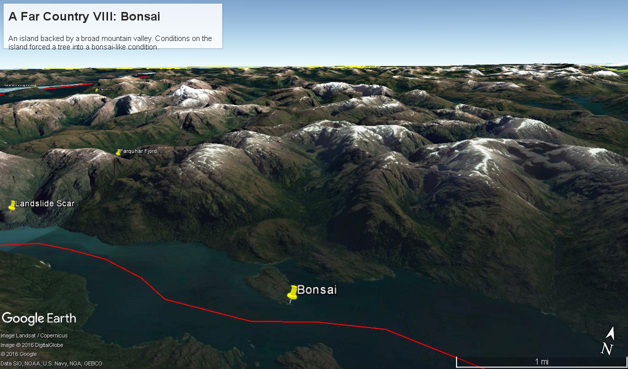
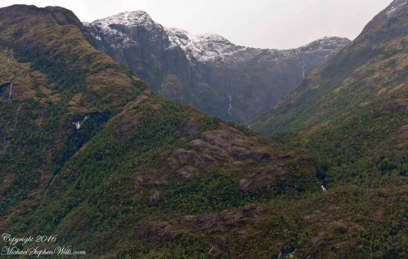
Here is a Google Earth view of Tempanos Fjord from 9,400 feet, looking north, northwest over a point on the fjord 6.5 miles from Iceberg Glacier, at 4 pm local time on February 17, 2016. This view is interesting for the insignificant island, .75 mile long, and broad mountain valley to the north fringed with waterfalls.
Marked is the location of a tree, “bonsai”, a feature of the fjord cliffs, “Landslide Scar” and a neighboring Fjord, “Farquhar Fjord.”
This blog features the tree.
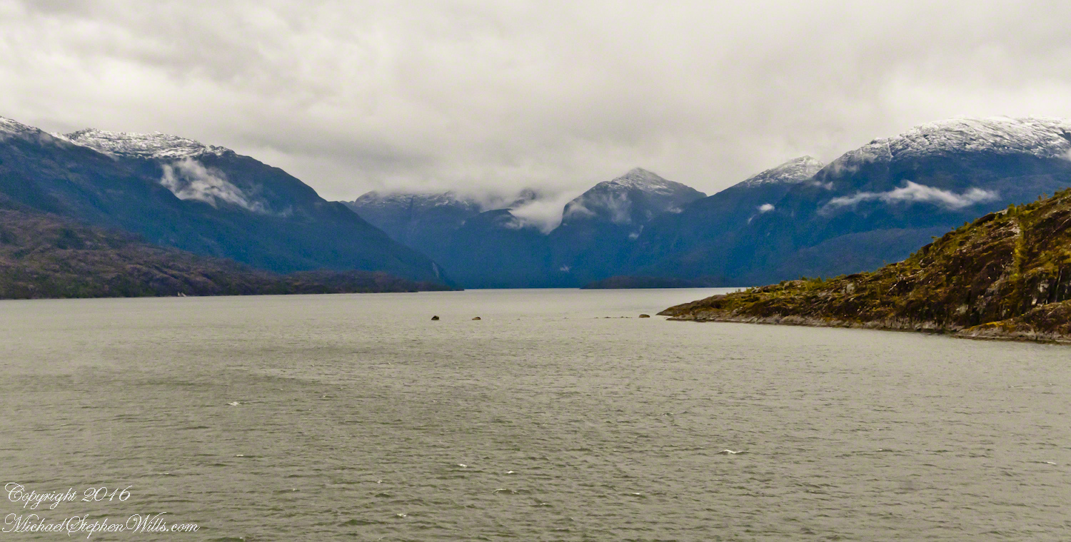
The Farquhar Fjord entrance opens onto the entrance of Tempanos Fjord and is the last photograph.
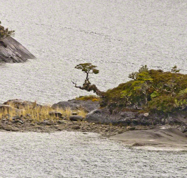
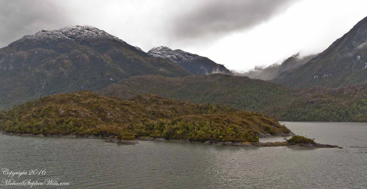
A photograph from our port side stateroom deck includes both the island and broad valley. The misshapen tree, the “bonsai”, is on an islet to the right and in front of the island. It is the small stump backlit by water reflection. The stump is more interesting than can be seen in this image from a handheld camera, at 24 mm. I used the variable lens for a closer look.
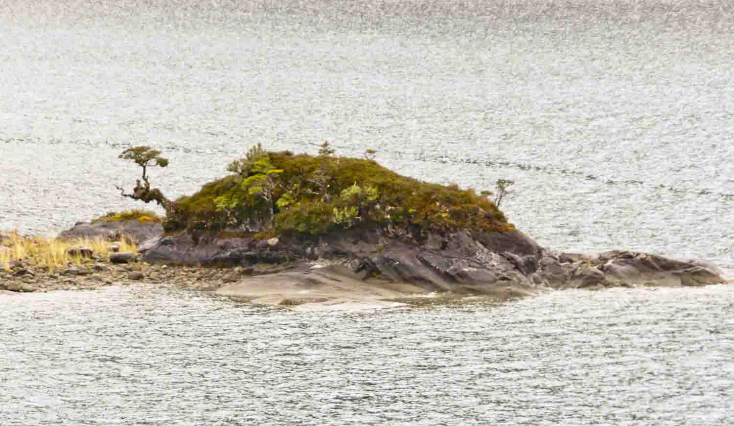
From this 133 mm, f8.0, 1/250 sec and ISO 800, still handheld, interesting details come into view. The islet is a rock on which clings a bed of moss. Several ferns, a sapling (on the far side) and a stump, on the right, are surviving. The stump presumably supported a small tree of which a “bonsai-like” twig remains.
Bonsai are fascinating, created through the art and skill of emulating pleasing natural forms. Here the moss encrusted twists and miniature tree crown were formed from a difficult environment. Bonsai of Japan originated from an ancient Chinese tradition of penjing (“tray plant”). The inspiration for this are, at origin and now, must be, in part, from admiration of the tenacity and beauty of these plants.
At the 200 mm maximum my Sony Alpha 770 (1/400, f9, ISO 800) image is a little fuzzy, still with great details.
From my interest in bonsai I am on the lookout for shapes such as this. Travelling the challenging environment of the Chilean Fjords I found examples here and there.
Click any photograph to visit my online gallery)
Copyright 2022 Michael Stephen Wills All Rights Reserved
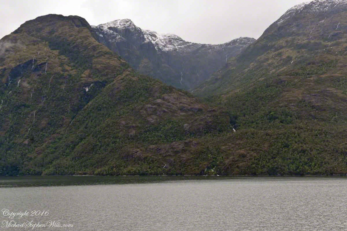
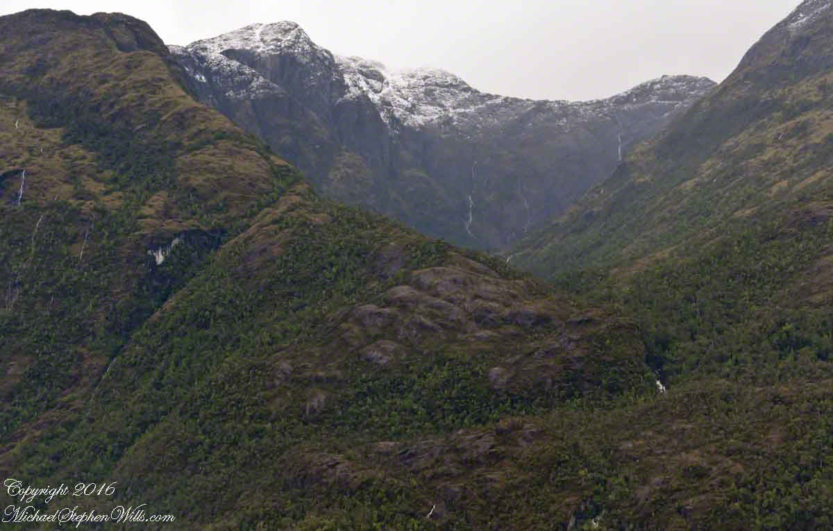
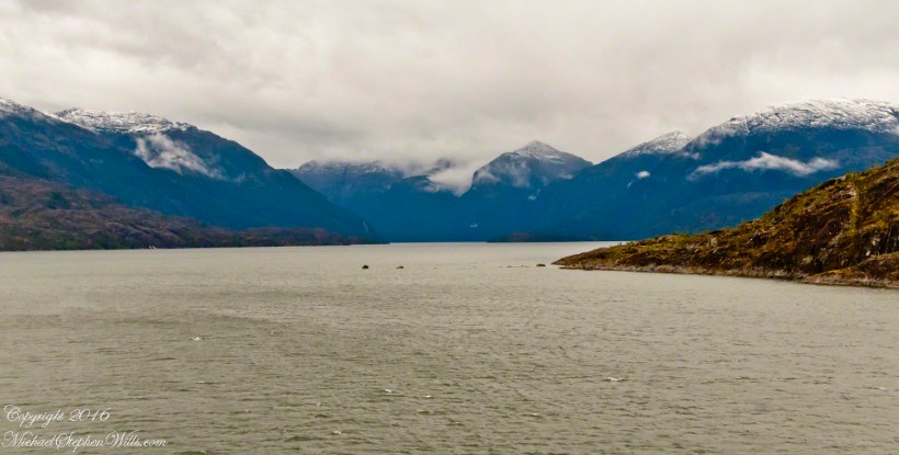
4:00 pm local time the Oceania was approximately 5 miles from the Iceberg Glacier, moving forward at a slow rate of speed, 4.6 knots. Here are more views of the mountain-ringed bowl behind a 1,000 foot cliff.
Both photographs are handheld using my Sony Alpha700, ISO 800, variable lens set to 45mm, 1/250 f13. At the same time I shot from a tripod mounted Cannon, 24 mm wide angle fixed focus lens.
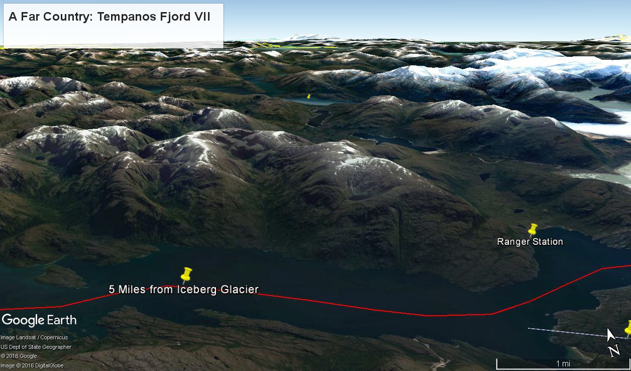
The following capture from Google Earth is the view from 12,200 feet. Regatta’s position is the “5 miles from Iceberg Glacier” pushpin. The formation is almost due north. We were surprised to see a ranger station in this uninhabited area, not yet in view. The white line, lower right, is the border between the Aisen (north) and Magellanic (south) Chilean regions.
(Click any photograph to visit my online gallery)
Copyright 2022 Michael Stephen Wills All Rights Reserved
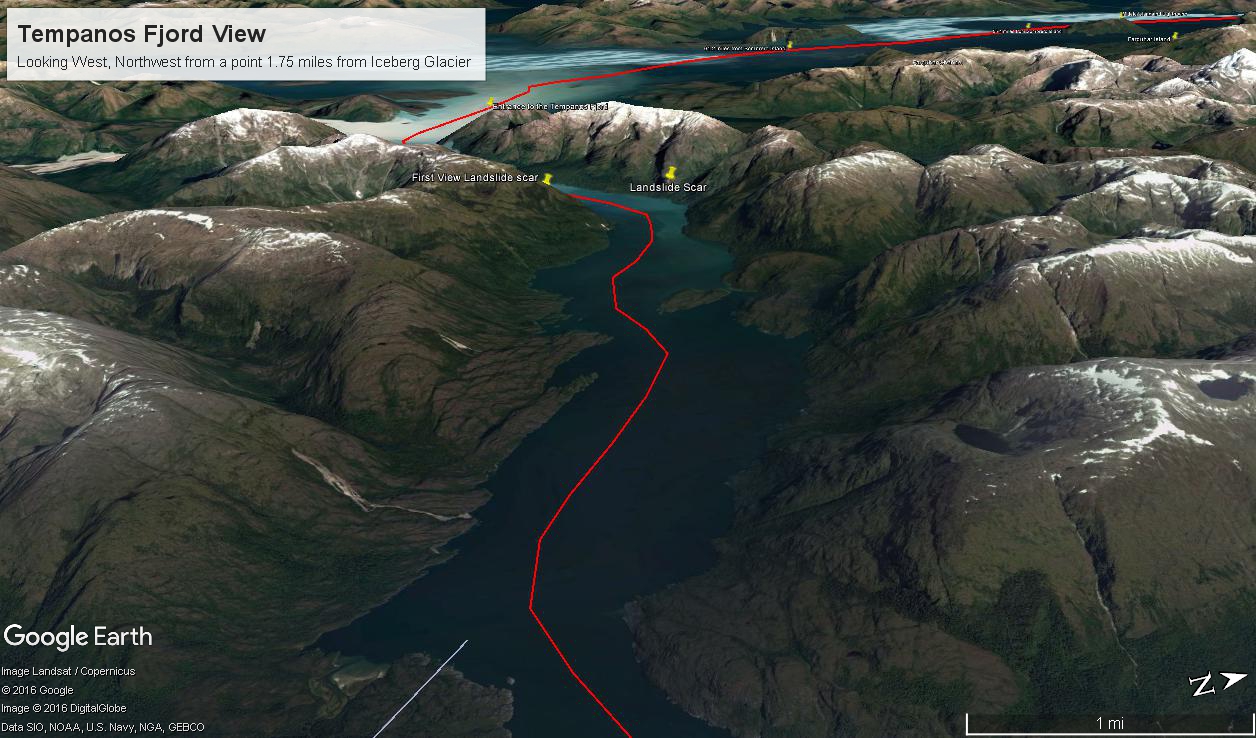
By 3:20 pm local time the Oceania was approximately 1.75 miles from the Iceberg Glacier and the captain positioned the ship for a starboard side glacier view. From our port side stateroom terrace Pam and I had this sweeping view of the way we had come.
Tempanos Fjord is a mile across here and we have a clear view of the landslide scar feature in my last blog. It is 7.75 miles distant, a small white patch on the fjord wall. The landscape scar marks where the fjord bends, changing north, northeast course to an east, southeast direction. Before the bend, the Iceberg glacier is not visible. Turn the bend and the glacier is plainly visible in the distance if the viewer is looking over the ship bow.
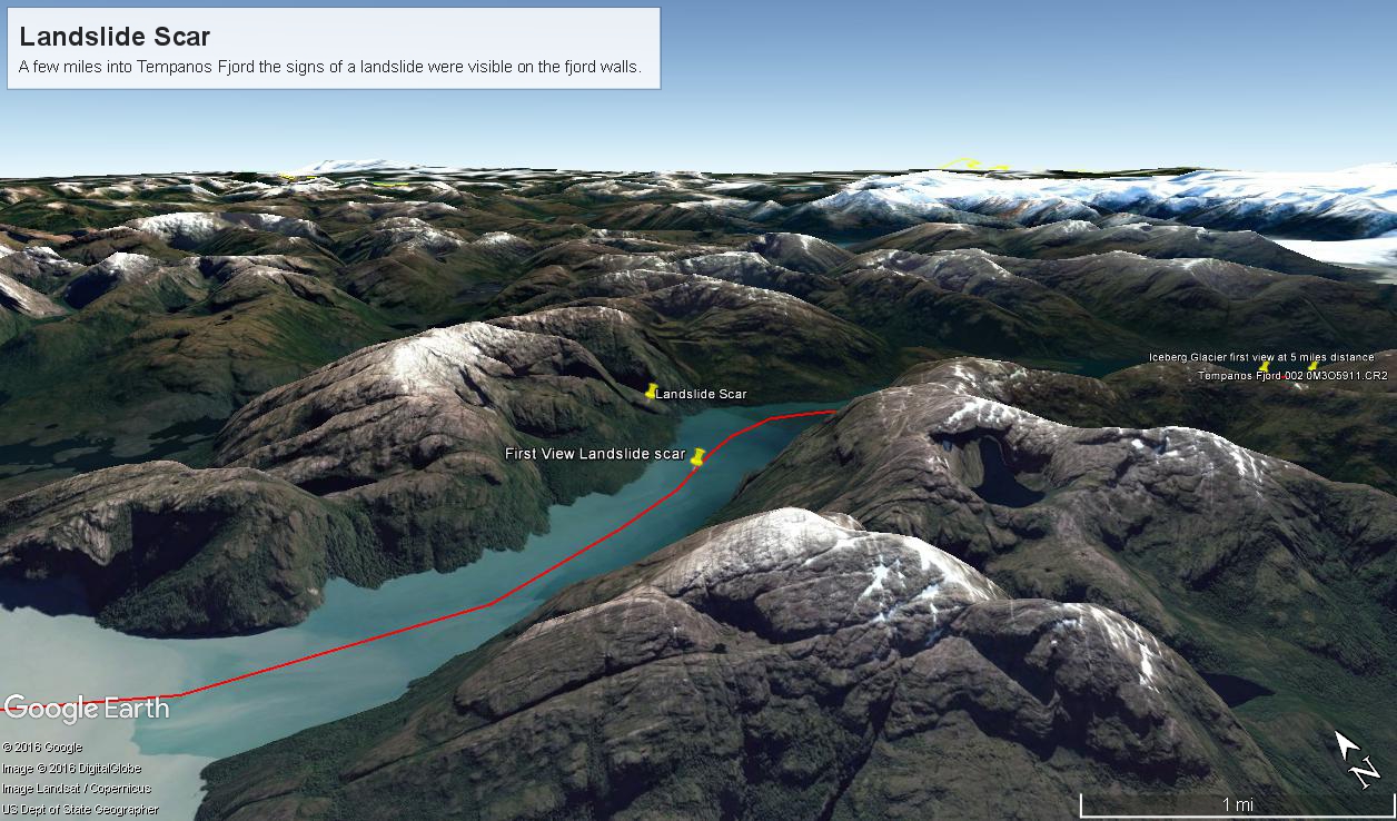
The following capture from Google Earth is the view from 14,000 feet. Marked are the locations of the landslide scar and the ship position were I first photographed the scar on our way into Tempanos Fjord. The red lined ship’s course may be followed out of the fjord back to the Messier Channel. The fjord follows a course among mountain peaks and deep valleys. A great pleasure of sailing Tempanos Fjord is the many vistas opening one to another.
(Click any photograph to visit my online gallery)
Copyright 2022 Michael Stephen Wills All Rights Reserved
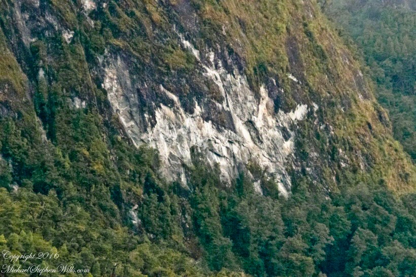
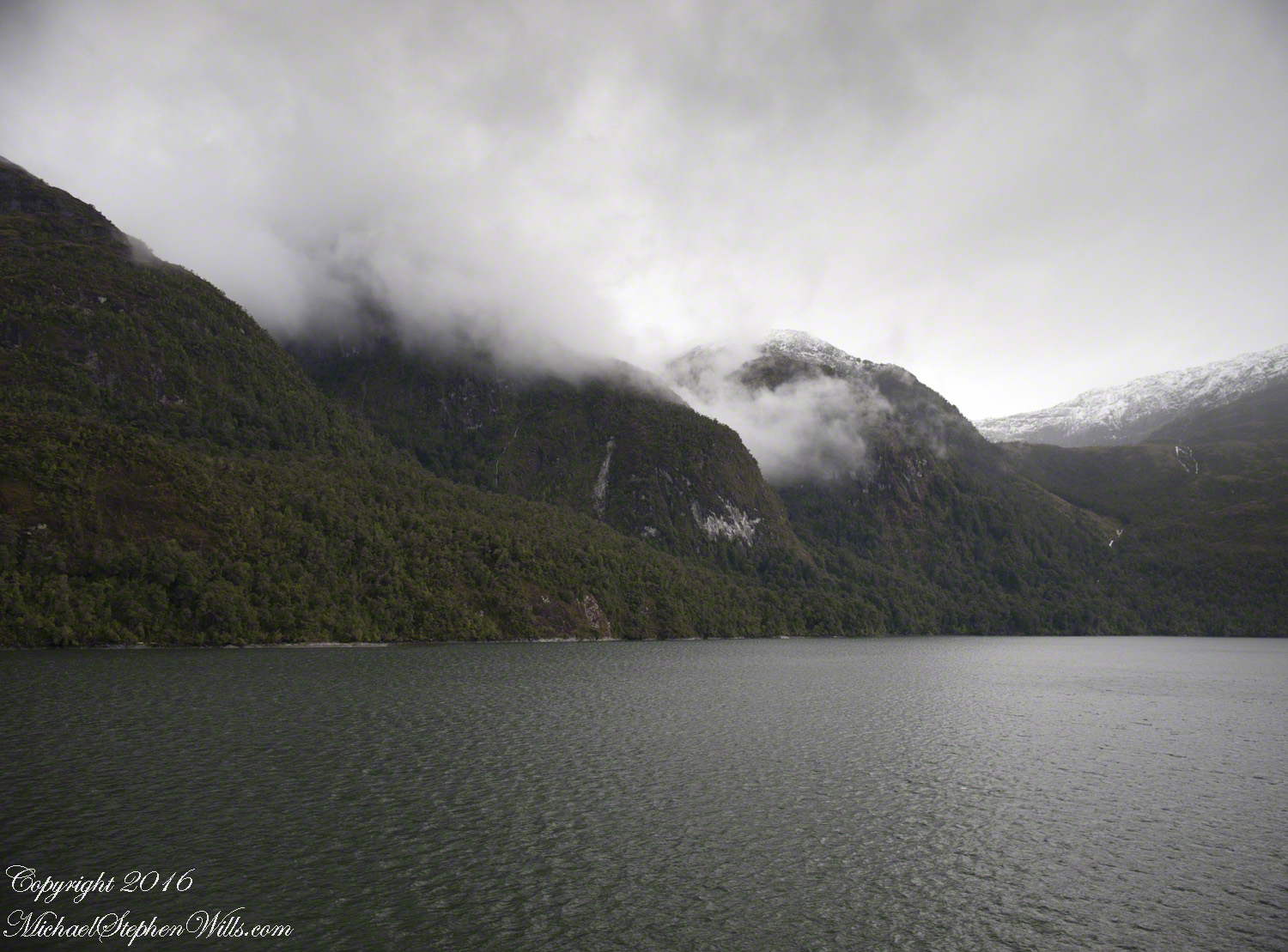
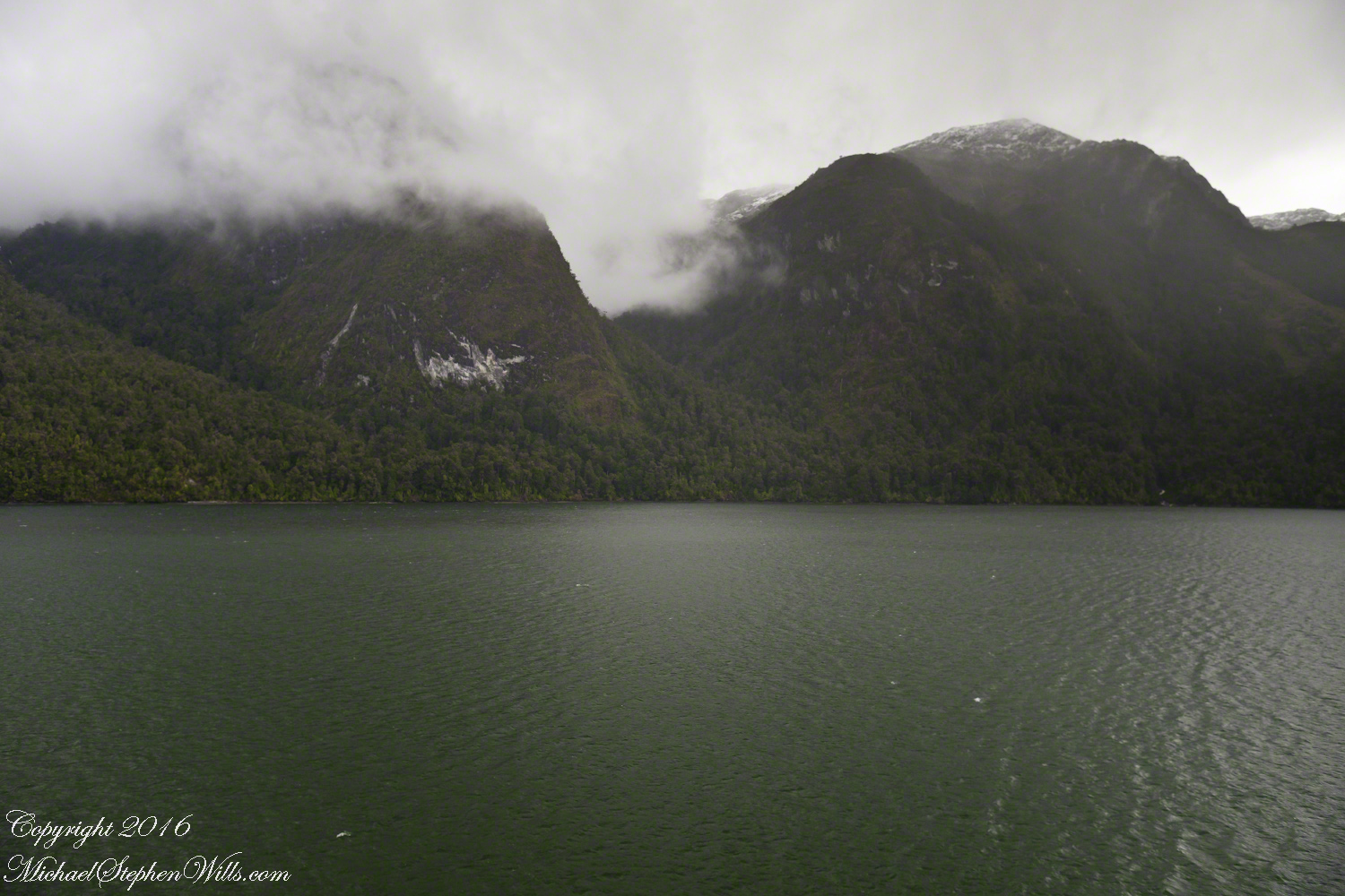
By 2:45 pm local time the Oceania was almost 4 miles into Tempanos Fjord, 10.5 miles from the Iceberg Glacier, when this telling gash on a mountain buttress forming the side of one of many glacial valleys.
Here is the Google Earth overview of our course that day through Tempanos Fjord, as the red line. Visible is the Farquhar Fjord, to the north. Marked is the position of the scar and the approximate position where I took the first view. Where the fjord bends to the southeast the glacier is not yet visible.
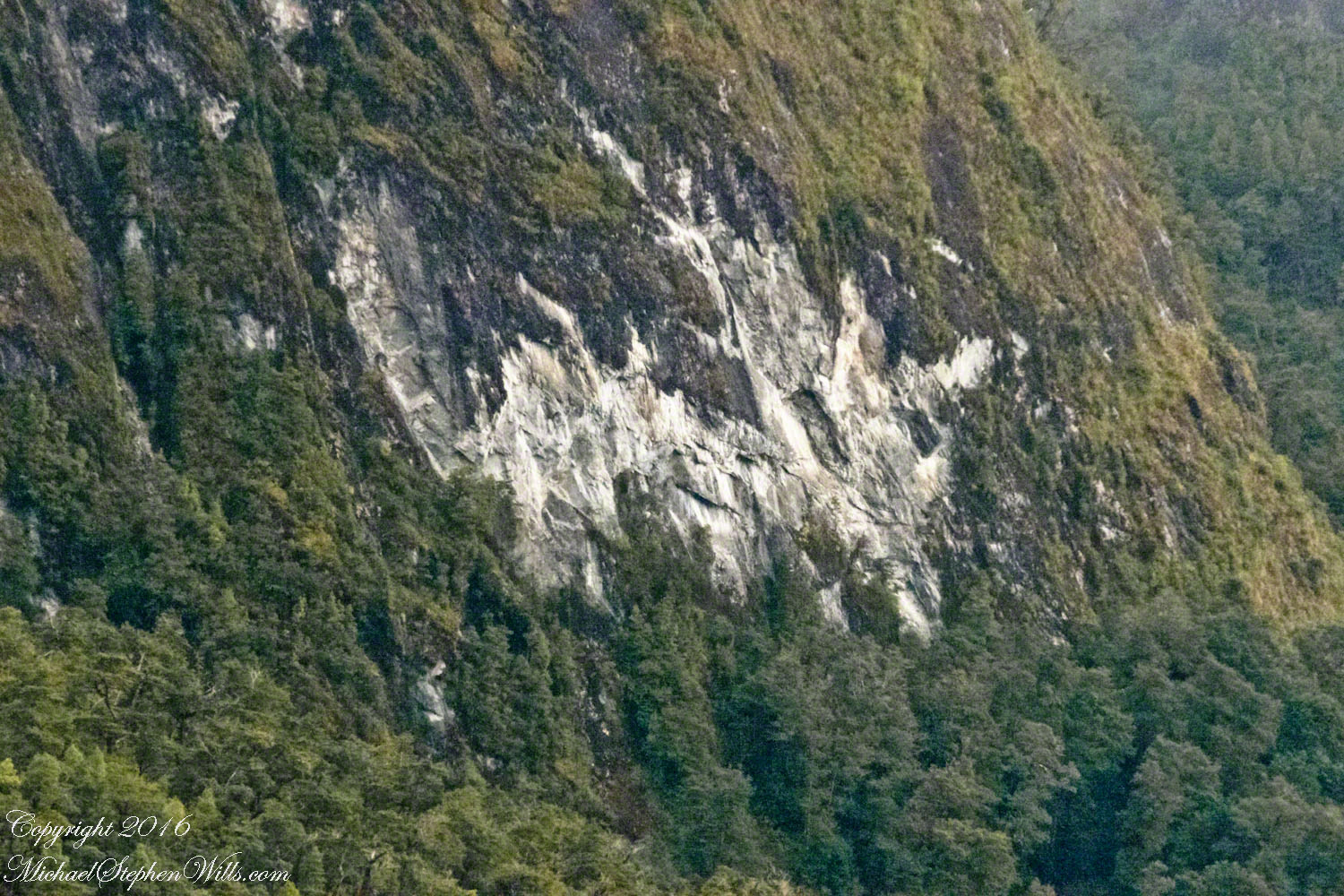
The scar, for all the rawness of the stone, is not recent. There was time for a forest to cover the destruction. The Oceania steamed past, making steady progress. The gash appeared ahead, unremarked. I wonder what the effect was after the cracks, slowly widened over decades by the ice, forced friction to give way to gravity, the mountainside sliding, perhaps, into the fjord. Hard to tell. There is no remnants of the slide visible.
All is larger than it first appears. Those are full size pines below the scar. It is the steepness of the cliff face that holds off the vegetation, the whiteness of the rock the source of the apparent freshness of the gash.
The mountainsides are threaded with waterfalls. Look closely to the left of the gash for a very thin line ending in a spray.
(Click any photograph to visit my online gallery)
TCopyright 2022 Michael Stephen Wills All Rights Reserved