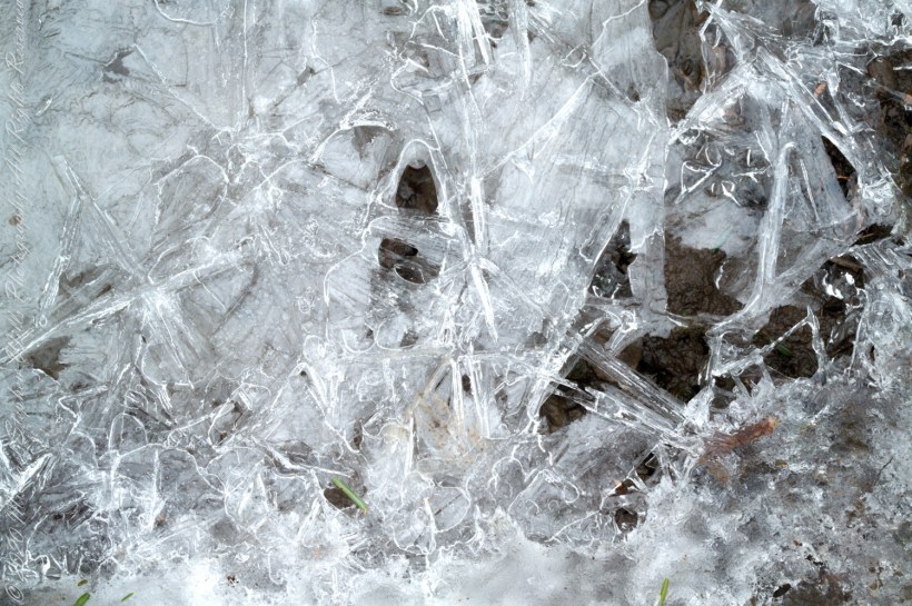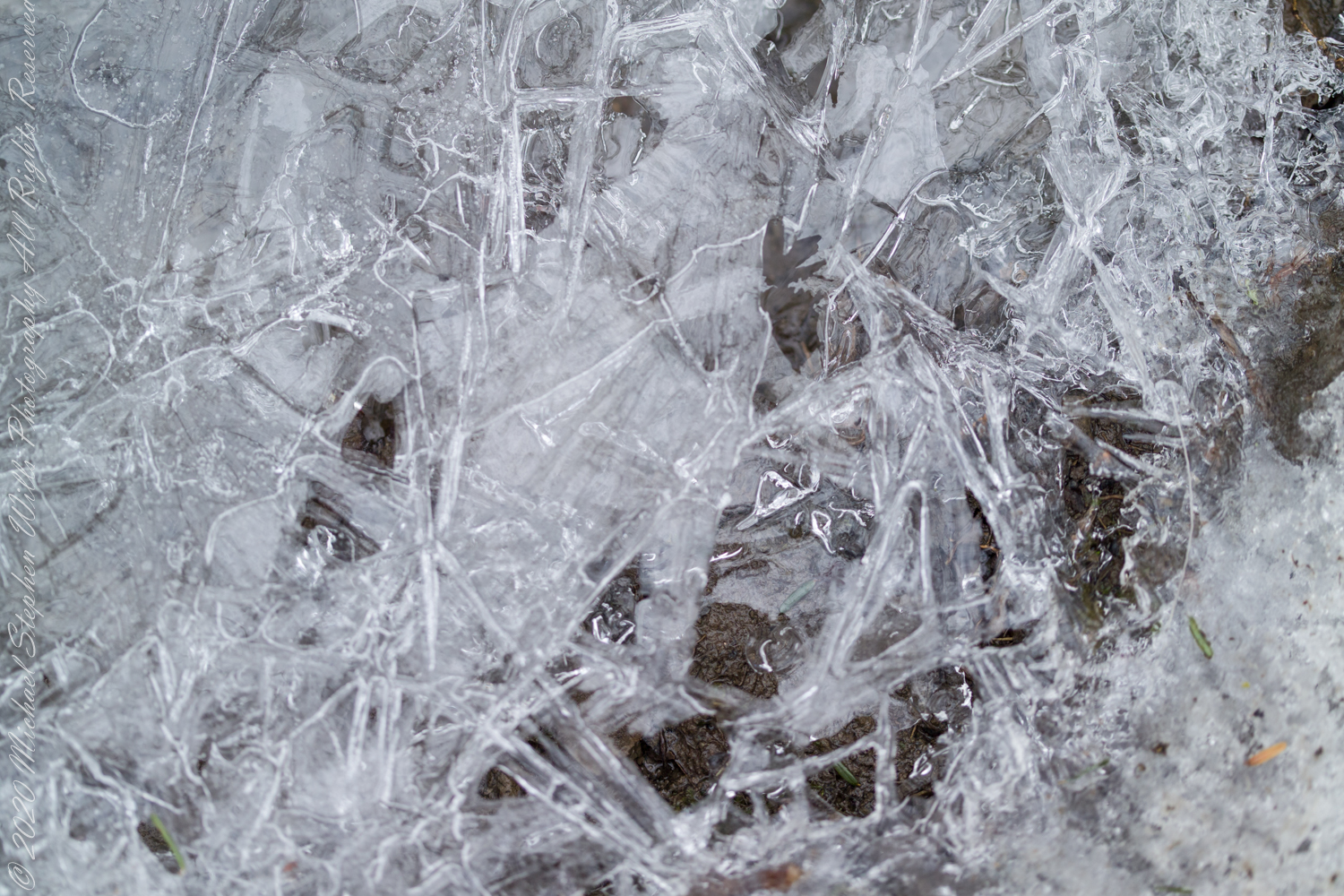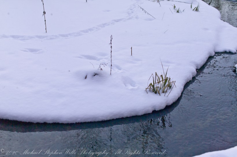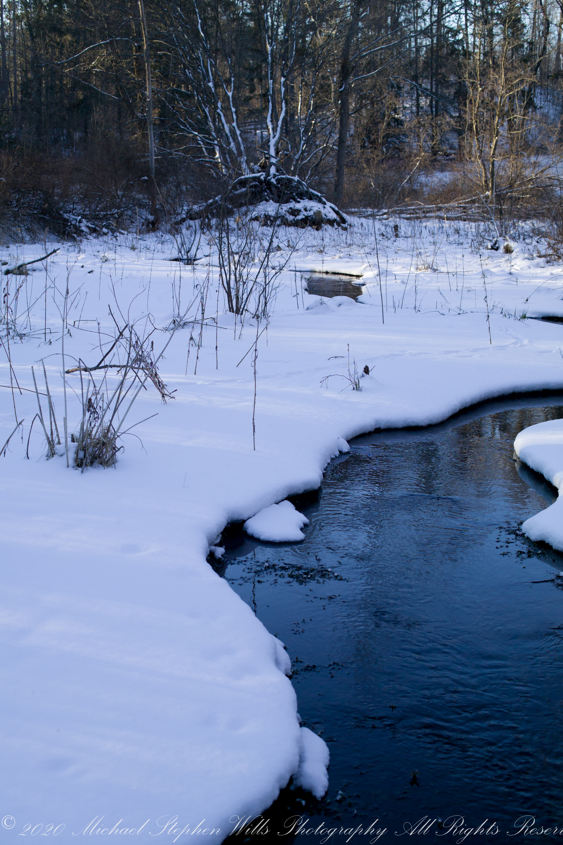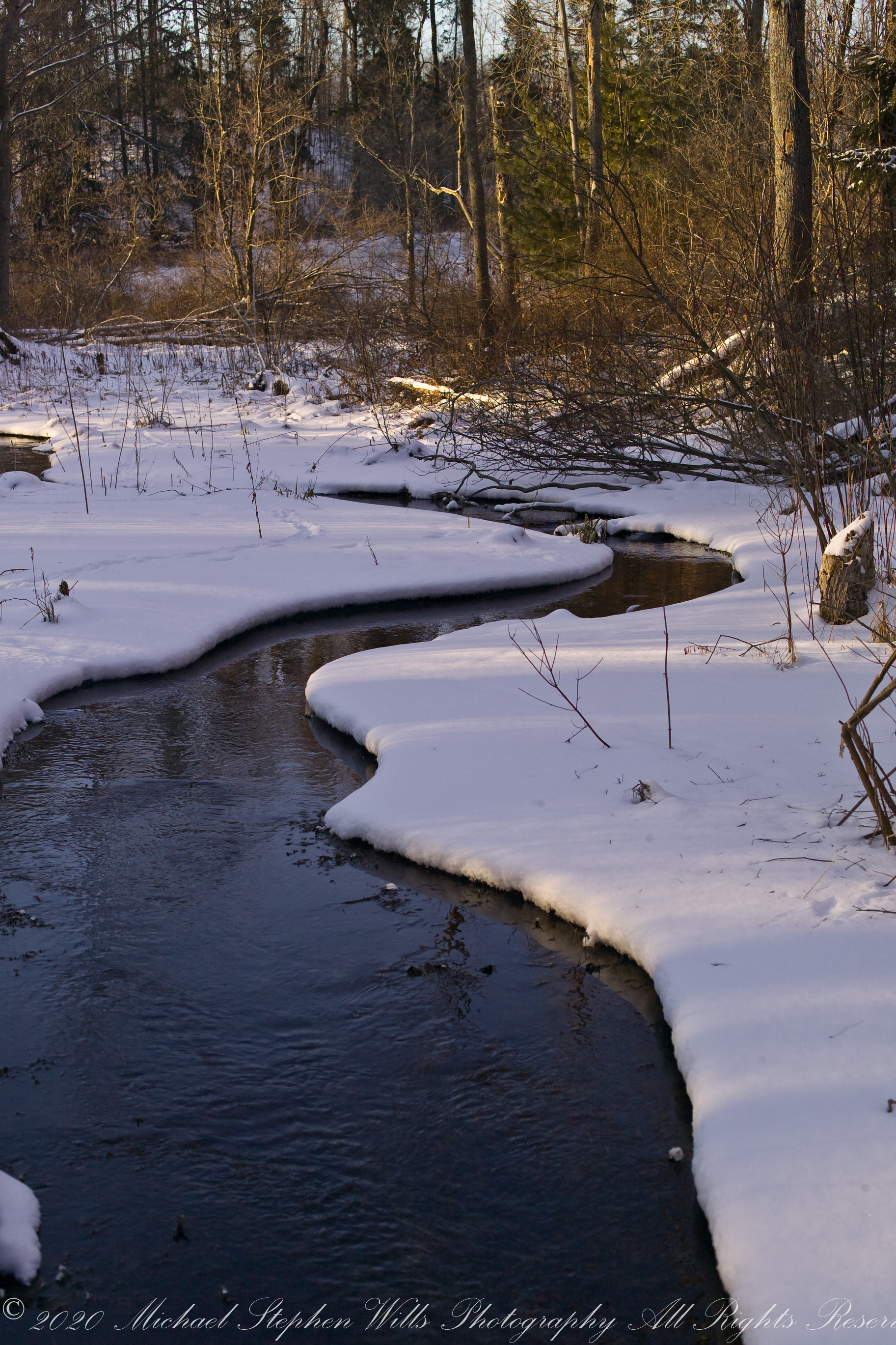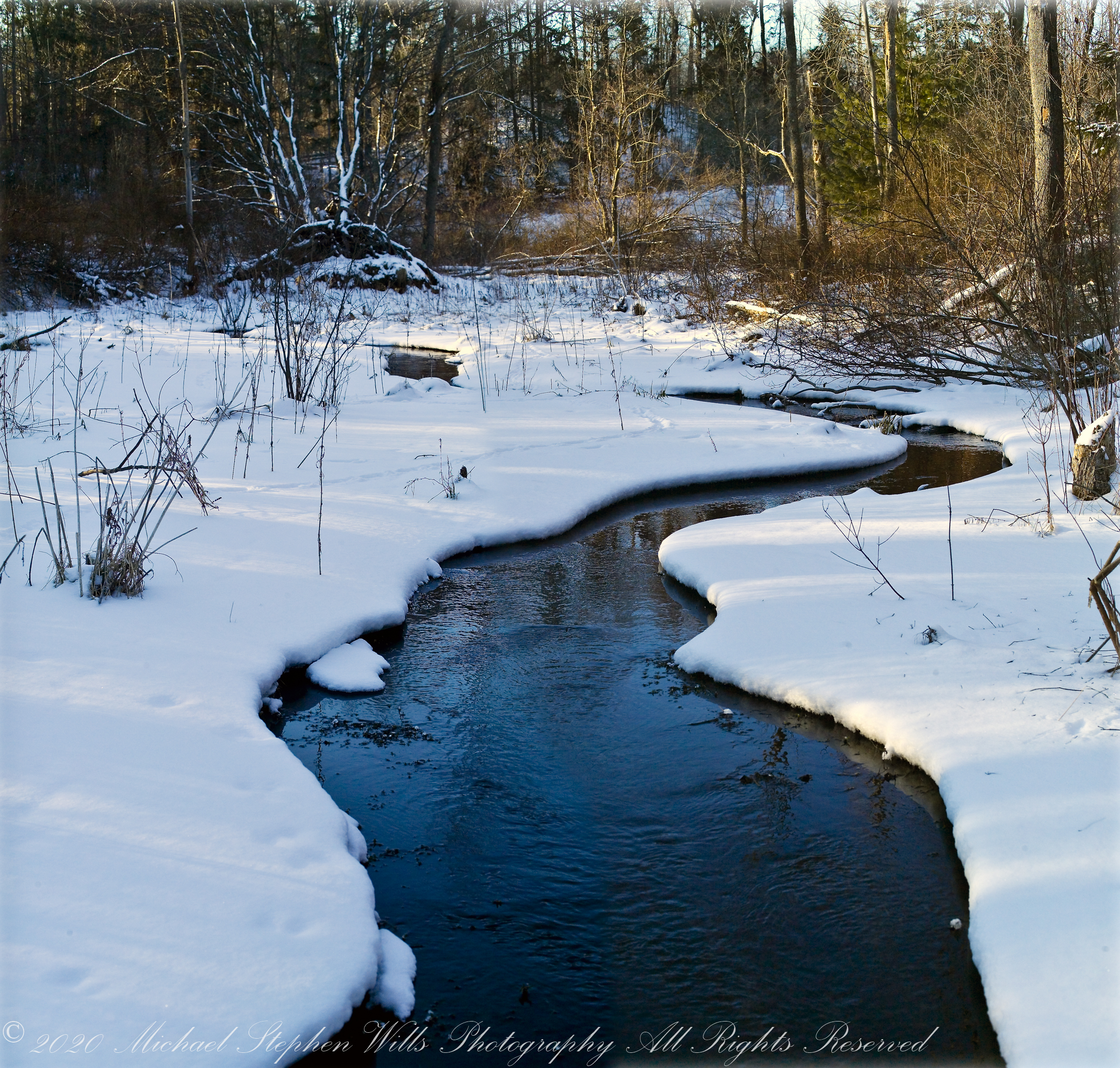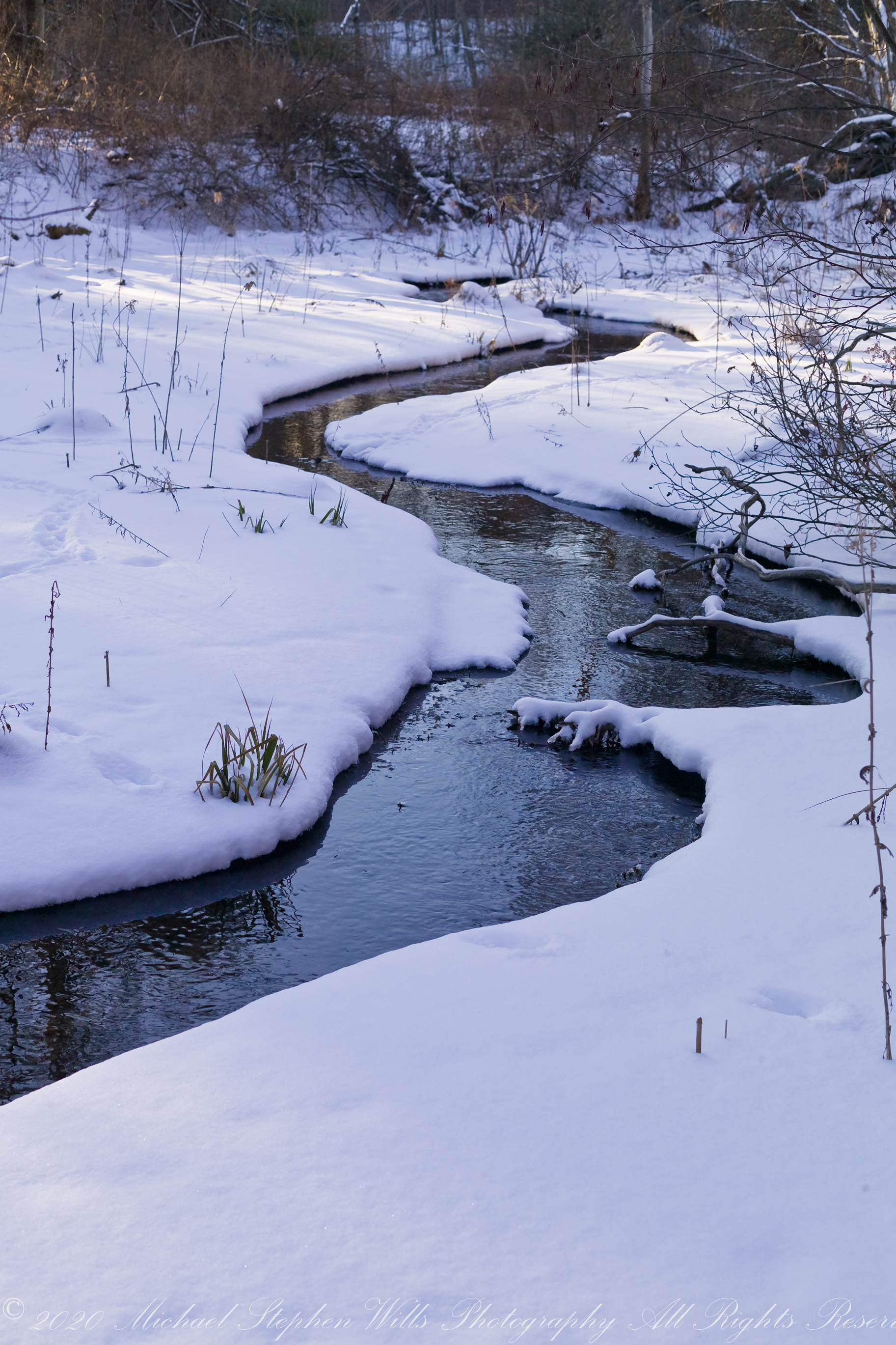
Can you spot the Skunk Cabbage (Symplocarpus foetidus)? Hint: the plant emits heat, melting surrounding snow.
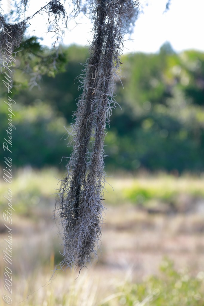
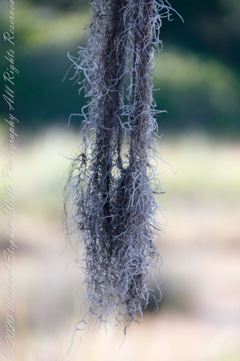
I cannot remember, don’t recall (?), the identification of those long stalks. Dear readers: can you identify?

Eastern skunk cabbage belongs to a select group of thermogenic plants for its capacity to create temperatures of up to 15–35 °C (59–95 °F) above air temperature through cyanide–resistant cellular respiration (via alternative oxidase) in order to melt its way through frozen ground.
One mechanism behind maintaining heat around the plant is the thermogenic oscillation of the spadix: Independent of light, a precise thermal regulator is produced by an oscillatory temperature-sensing model in the spadix under dynamic external temperature variations. An equilibrium between heat production and loss, due to heat radiation, evaporation, conduction and convention is maintained in the spadix. Additionally, the airflow around the spathe effectively maintains heat generated by the spadix.
Click Me for “Finger Lakes Memories” my online gallery.
Reference on the thermogenic features: Wikipedia, “Skunk Cabbage.”