Around and About Athens, New York, part 2

Real Estate and Ancestors

Pam eventually caught up to report a breakthrough contact made through casual street interactions. She talked to random strangers on 2nd Street hoping to learn more about her ancestor, Jan Van Loon. The breakthrough was a name and phone number of a woman, the daughter of a new acquaintance, and a tip about an old cemetery.

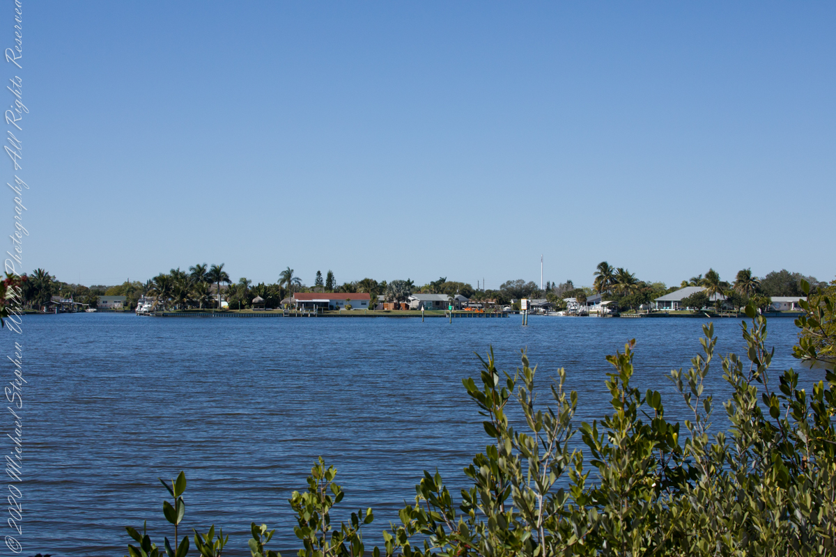
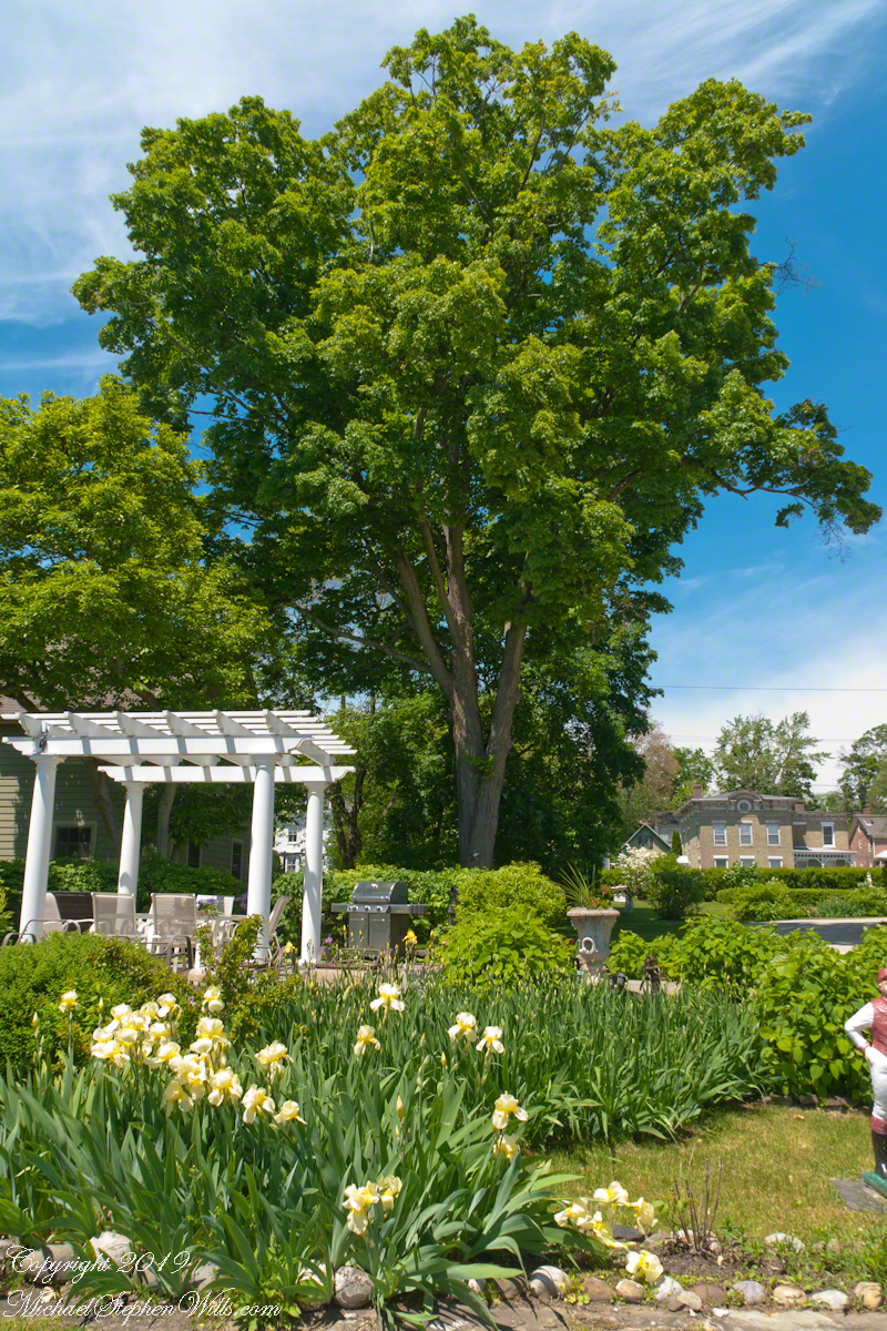
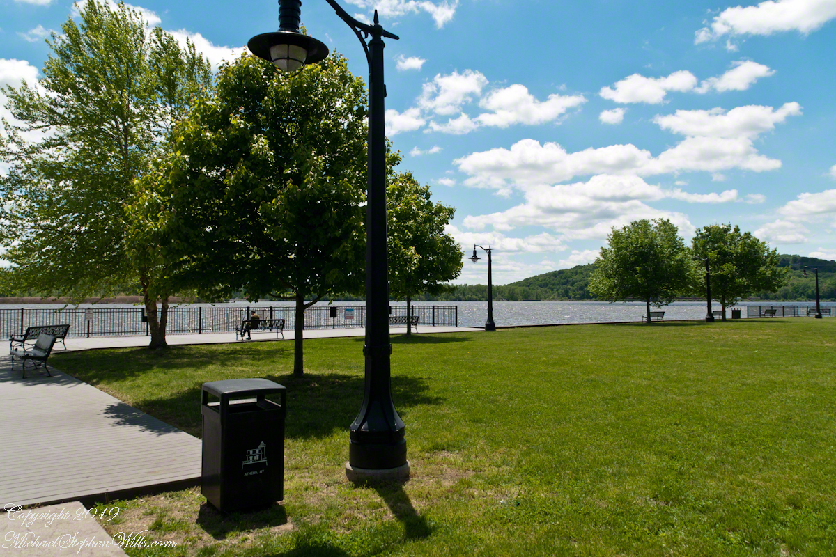
Two people are visible in this first photograph, taken from the south end of Athen’s Riverside Park. Look to the left of the large tree where a artist, under the small white umbrella, is painting while in conversation with a second person. Pam struck up a conversation……

Click any photograph for a larger version

“For Sale: 1825 Federal Home on the Hudson River”

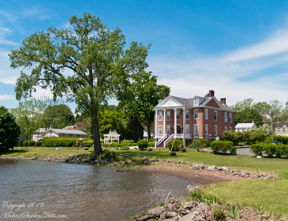
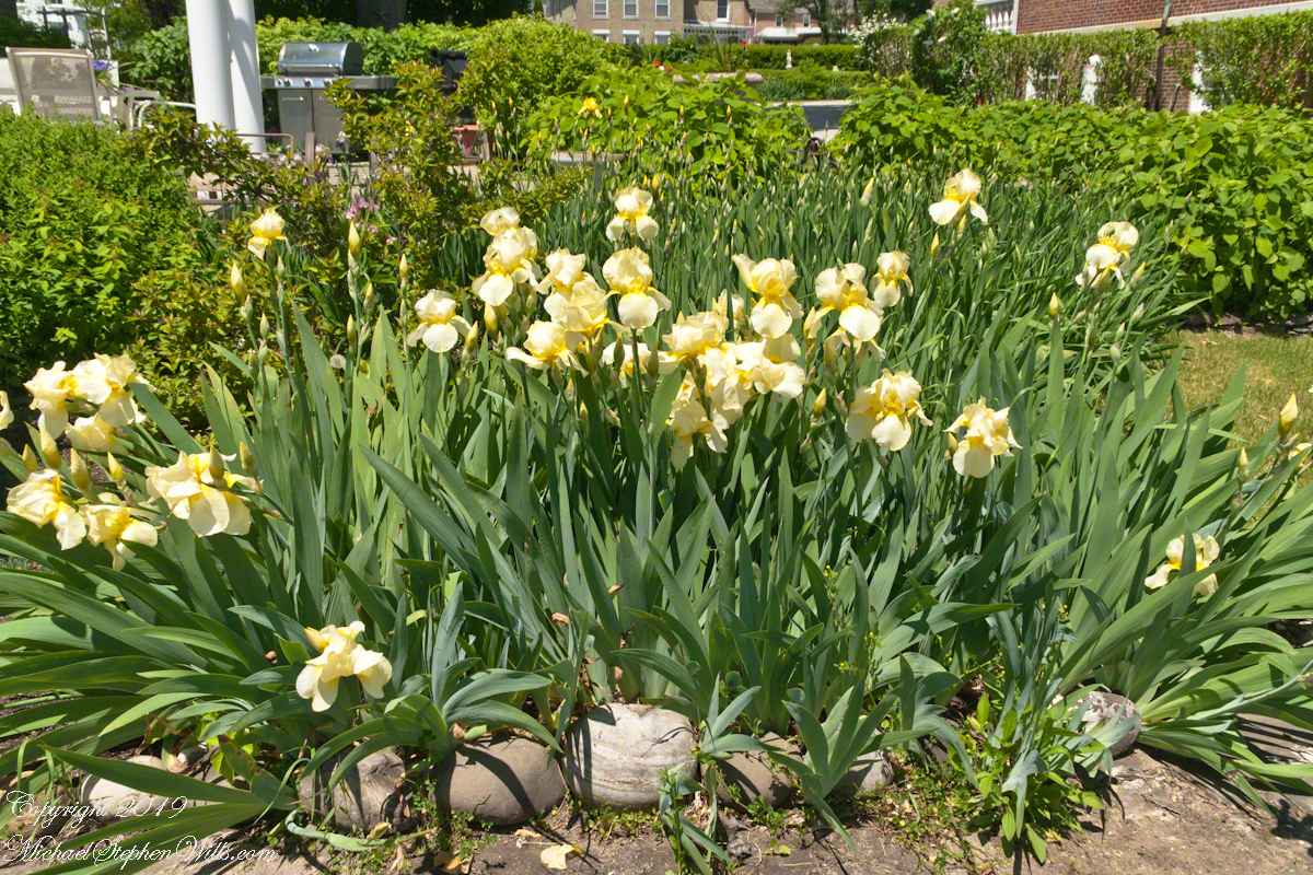
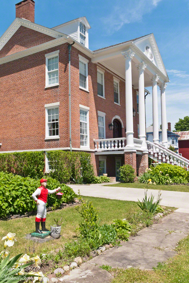
The artist had an easel and a painting in progress, the subjects were yellow irises, part of a formal garden on the grounds of the mansion. We first took it to be a museum or public building of some sort, but were mistaken. It is a home. In the course of a conversation that touched upon Henry Hudson’s 1608 journey up the river (they knew nothing of Jan Van Loon, or of deeper local history in general), and the work of the second man who was the owner of the mansion. Here is more about the place from the Zillow listing. There was no “for sale” sign in evidence.

From the portion of the 12 South Water Street garden on the road. We chatted with the house owners and an artist as he painted these yellow iris blooms.
The Zillow Listing…WOW
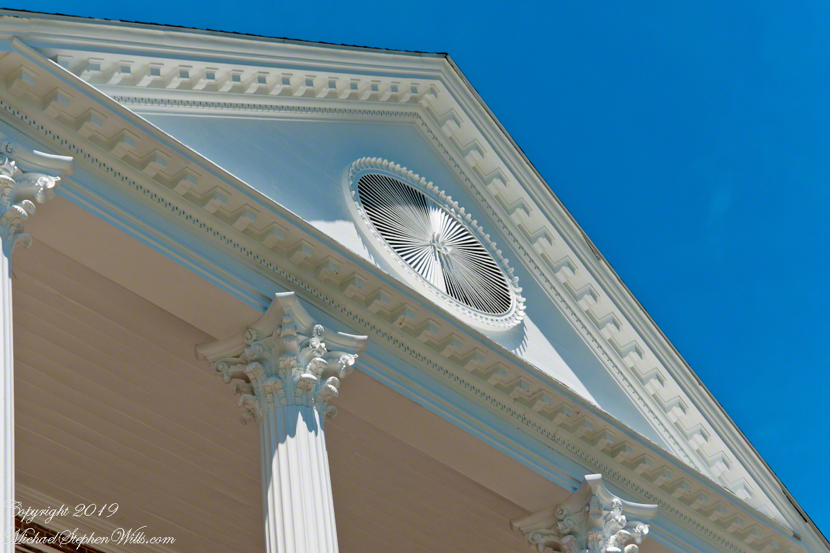
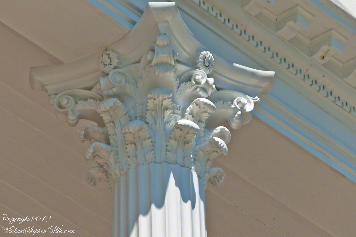
” A freshly renovated home and grounds on the Hudson River, at 12 South Water Street, Athens, New York. Barely visible, to the left of the tree, is an artist, painting large yellow irises while chatting with the owner of the property. Here is what the listing on Zillow has to say, “This majestic 1825 Federal home on the banks of the Hudson River was designed by architect Barnabas Waterman for shipping entrepreneur Anthony Rutgers Livingston. Steeped in history, the house has undergone an extensive – yet sensitive – restoration. Enter into a grand hallway with Double Parlors to the right and a formal DR on the left. Original Federal flourishes abound with acanthus leaf capitals and entablatures, Corinthian columns, and intact mantels and molding. The high ceilings and tall windows provide extraordinary elegance, light and comfort. A thoughtful kitchen renovation and 1/2 Bath for 21st century convenience. Upstairs is a Full Bath and four spacious and airy Bedrooms, the Master with ensuite bath. The walk – out lower level features a family room with fireplace, a full bath and the original kitchen with hearth and beehive oven. A stroll past the box-wood garden leads to a 3-bay Garage with Studio and 1/2 Bath above, perfect for artist, home office or guests. Convenient to Thruway, Catskill, Hudson. 2- hrs NY.”

Formal Garden

Restored Hudson River Mansion

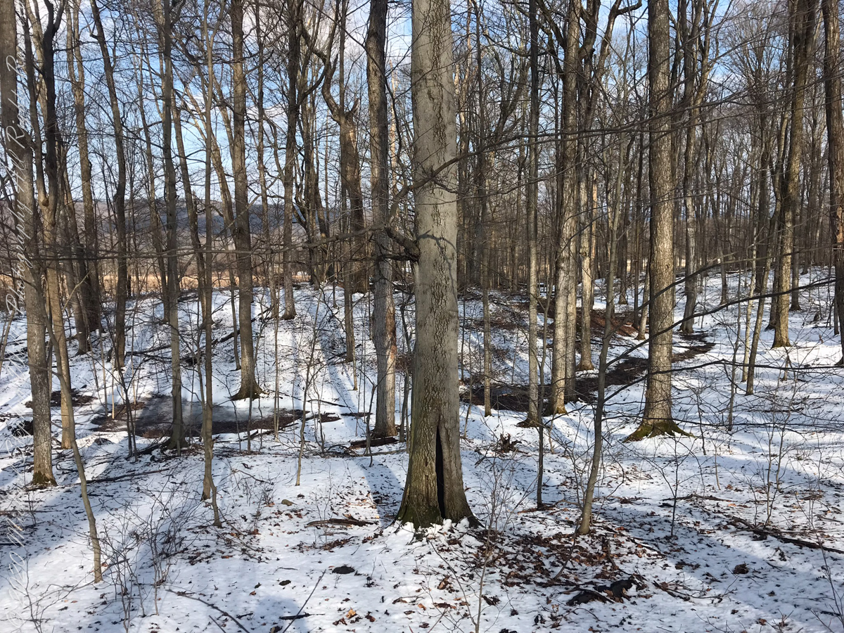
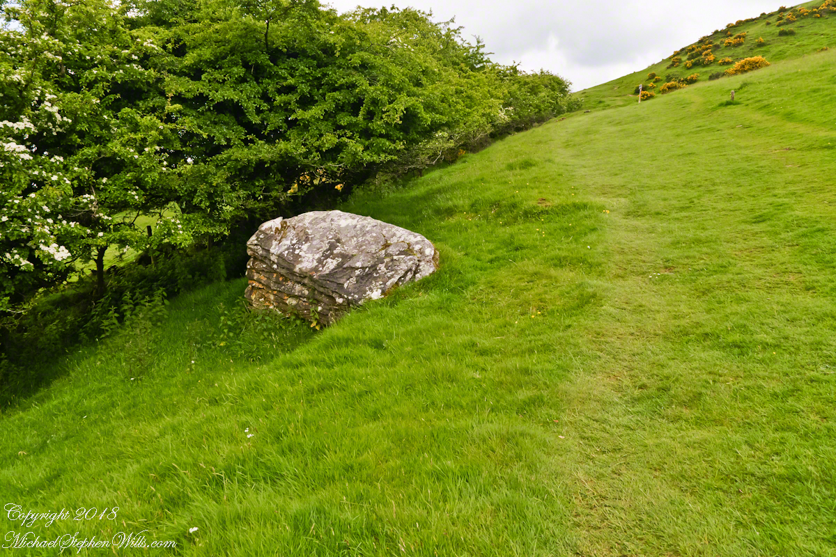
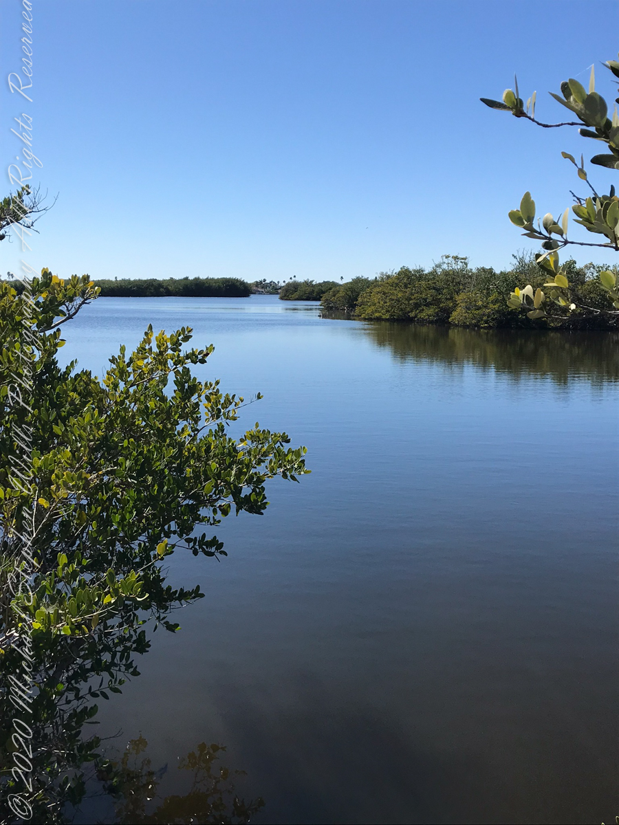
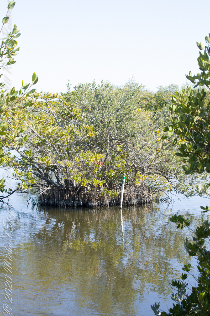
Barely a half mile apart, a great distance separates the homestead of Jan Van Loon and the 12 South Water Street former mansion of a shipping magnate including 125 years and the American Revolution.

Stylized Acanthus Leaves grace these Corinthian Capitals

Click Me for “Around and About Athens, New York, part 3

Copyright 2022 All Rights Reserved Michael Stephen Wills

Around and About Athens, New York, part 1

Enjoyments of Athens, New York

Memorial Day Weekend 2019 Pam and I visited Athens, first settled in the 17th Century by an ancestor through her maternal grandmother. Click me for more about the Van Loons. Jan Van Loon is 10 generations removed from Pam and her siblings and is one of 1024 (512 pairs) of ancestors. Whatever became of the other 1022 people (and all those in between) Pam was there with me that day to enjoy the experience of walking around town and talking about Jan Van Loon’s connection to herself.

Click any photograph for a larger version

Founded as Loonenberg, named after the first settler Jan Van Loon. today,Athens is a lovely destination, a historic village on the Hudson River.

We stopped for a very enjoyable latte at Bonfiglio and Bread on 2nd street. As we ambled south on 2nd street Pam spotted someone to talk to and I proceeded with the goal of the Hudson River, visible at the bottom of the street.

I noticed this architectural specimen and turned to capture this side in a good light and was lucky to capture a young co-admirer of its style with whom I assume is her Mother. Athens, developed as a “National Register Historic Site,” is a charming place to stroll and admire.

Southeast view on 2nd Street between Water and Washington streets. Athens, New York

Hudson Riverfront

Yesterday I did a Red Cross blood donation at an elementary school on Hudson Street here in Ithaca. Henry Hudson, the first European to sail up the river that now bears his name, is memorialized this way across New York State so much so it is unusual to find the “Riverfront Park” named as such.

The city of Hudson, in Columbia County directly across the river named its park “Henry Hudson Riverfront Park.”

Looking east toward the entrance of the Riverfront Park, Athens, New York. Found at the east end of 2nd Street.

Peace and Quiet

The Athens Park is a gathering place for the village with a large swath of grass, a short boardwalk, benches and generous shade trees along with river…….

The photograph captions will speak for themselves for the rest of today’s post. Enjoy!!

A sole reader enjoys the solitude and view across the Hudson. A large mid-stream island, Middle Ground Flats, provides a swath of green instead of a view of the city Hudson.

…and a dock.

The map shows a dotted line between this dock in the Athens Riverside Park and the Henry Hudson Riverside park of the city of Hudson. Barely visible in front of the wooded hills is the Hudson-Athens lighthouse.
A pleasure craft motoring south on the Hudson River passes in front of the Hudson-Athens Lighthouse. On the eastern shore is a line of freight cars. Amtrack uses this line for service between New York City, Albany and beyond. We have enjoyed this Hudson River view from the train and highly recommend that trip.
Built 1874, the Hudson-Athens lighthouse guides traffics around the island named “Middle Ground Flats.”

Click me for more photography on Getty IStock.

Copyright 2022 All Rights Reserved Michael Stephen Wills

Bridging the Lethe

notes from November 2231 AD

Hook

Ancient legends speak of the River Lethe, crossed by departing souls.  The waters of the Lethe wash away memory, allowing for spiritual rebirth, reincarnation, a return to the world in new form.

SycamoreGrove20170404-10

This memory implant represents a bridge over the Lethe.

Footbridge over Enfield CreekFor those chosen to cross over to the new land in return for

Sycamore Grove

their treasure, lives and selves.

Sycamore Grove

Description

This virtual monoculture glade from the long time of forests,

Sycamore Grove

a place of happy gatherings, of families, plentiful food and water.

Sycamore Grove

These sycamores grew over centuries, through thousands of days, wider than 10 people,

Sycamores

white with age as the outer covering, called bark, falls away.

Sycamores

forked, trunks

Sycamore Trunk

climbing to the sky.

Sycamore Sky
Copyright 2022 Michael Stephen Wills All Rights Reserved

Brock-Harvey Forest Preserve

first look

On September 14, 2013, the Bock-Harvey Forest Preserve was dedicated protecting 48 acrea of open meadow, transitional meadow, mixed hardwood forest, a special environmental protection zone and the Finger Lakes Trail.  Brock-Harvey Forest Preserve, and all land as far as the eye can see from there, was part of the Military Tract of Central New York, 28 townships given classical Greek and Roman names, each township 100 lots of 600 acres each, approved by the U.S. Congress 1799.  Here, the township was Ulysses, encompassing the southern end of Cayuga Lake and surrounding lands.  Thus, the city of Ithaca and Hector Street winding up from the valley passing below our home.

This land and several other military tracts were purchased by Samuel Harvey.  He then gave he lands to his sons including this farm to Silas Harvey, the great-great-great-great grandfather of Megan Barber who led the dedication ceremony of the forest preserve.  Megan’s great-grandmother Martha Harvey married Fred Bock and lived on this land used for dairy farming for over 150 years. 

The preserve exceeded my expectations for great upland views.

View from Shelter across the valley of Enfield Creek, the same that flows over Lucifer Falls of Treman State Park

Brock-Click me for another Brock-Harvey Forest Preserve post, “Burgeoning Forest.”

References

The background on the land was taken from a posting on the preserve and from Wikipedia, “Military Tract of Central New York.”

Copyright 2022 Michael Stephen Wills All Rights Reserved

The Haw in Hawthorn

I originally published these blossoms as “wild  rose”.  It was my Facebook friends who pointed  out these are hawthorn flowers.  The key to identification was the shape of the leaves.

Hawthorne Blossoms on the former McArdle Home
Blossoms of Hawthorne taken on the site of the former McCardle Home, Proleek Townland, County Louth, Ireland.

In correcting my mistake, I learned the young leaves of Hawthorn are excellent for salads.  Wonder how the fairy folk, associated with single hawthorns (as in the following photograph from the Hill of Tara), react to picking leaves from their trees?  I didn’t hear of the practice during our time in Ireland.

Speaking Stone Hill of Tara
View northwest from Hill of Tara looking across County Meath with views of Counties Westmeath and Cavan. On the horizon, right, is Hag’s Mountain, (Irish: Sliabh na Caillí) , site of the Loughcrew Cairns. The standing stone is the “Stone of Destiny: (Irish: Lia Fáil), which served in coronation the coronation of the High Kings of Ireland. It stands on the Inauguration Mound (Irish: an Forrad) of Tara. This photograph was taken the morning of May 27, 2014 hours before the stone was vandalized, doused with green and red paint.

My mistake was understandable, in botany the hawthorn is in the same family as the rose.  The flowers are similar, having five petals.  The “haw” in hawthorn is from the Old English word for hedge, as is this linear standoff the tree lining the way up to the Loughcrew Cairns.

Path on Hag's Mountain, Loughcrew
Reaching highest point of County Meath, Ireland means a steep path, not too long, to glorious views on all points plus Lough Craobh (Lake of the Branches).

I read these votive offerings are made at Beltane, in which case these are fresh from placement May 1.

Hawthorn Tree with Offerings
A hawthorn tree in bloom on May 27, 2016. Growing on the slope of Hag’s Mountain

The following year Pam underwent double total knee replacements, never the less, she was great company for all our adventures on the island.  Even this steep climb.

Pam and the Offering Hawthorn
The steep path to Loughcrew passes a hawthorn covered with flowers and May offerings.

These views were our reward for reaching the top.

Loughcrew View, North by Northwest
View from Loughcrew Cairns, “Hags Mountain”

The Emerald Isle, we fully understood this name.

Standing Stone, Loughcrew
Loughcrew Megalithic Site, County Meath, Ireland. A solitary standing stone below the trail to the Loughcrew site surrounded by whin bush (gorse) and hawthorn hedge rows. A fieldstone fence, farmhouses, a patchwork quilt of fields completes the view.

The Greek name for the Hawthorn species is formed from two words meaning “strength” and “sharp”, referring to the thorny branches.

Charlemagne of County Cork
For County Cork we stayed with Marantha House B&B.   Our day of arrival, that evening, I visited Charlemagne and fed him an apple, saved from dinner. We learned from our hosts, Olwen and Douglas Venn, he is a retired show horse they rescued. The following morning I visited Charlemagne again with an apple and my camera. As I walked up, starting from the far end of his field, Charlemagne rewarded me with a series of astounding poses, trotting toward me in fine form. The morning mists, hawthorn in bloom, distant hills came together for this memory.

We marveled at the hawthorn hedges in field after field.  I first notice them from the World Heritage Site, Newgrange (Brú na Bóinne, “Palace of the Boyne”).  Here is one on the Dingle Peninsula, on the other side of the island.

Field of Yellow Iris Flowers, Dingle Peninsula
A roadside field of yellow Iris flowers with flowering Hawthorn and Whin Bush in the windbreaks. Looking northwest toward Killeenagh and Caherpierce on the R561 between Lack West and Inch. Dingle Peninsula, County Kerry, Ireland.

Another Ireland post of interest, “Proleek, Grandfather McCardle’s home.”

Winter Captures

two captures during a time of lengthening days to welcome March 2022

Here are two offerings from winters past.

Late In the Day
Small Break Against the North Wind

Click this link for my Fine Art Gallery

Ulumay Wildlife Sanctuary

Brevard County Park on Merrit Island

Ulumay is the name of the Native American settlement of the Ais people decimated by disease after the arrival of Europeans. The park is a natural lagoon and bird rookery linked with canals created for mosquito control and surrounded by a manmade dike. A trail on the dike provides access to the waterways for the fisherman, birdwatchers, and paddlers.

This informative placard, placed at the entrance. Note the 600 park acres is surrounded by residential properties.

I left Pam at the entrance, seen below at the words “Ulumay Wildlife”; she had a reasonable concern about alligators. It is quite possible to find a large specimen blocking the one and only trail. “What? Me Worry?” When pursued by an alligator, remember to zig-zag.

“Flora and Fauna”

Waterways, sightings

Second Stand

Third Stand

No sightings of alligators or manatees.

A Far Country XI: Gondwana Part 1

amazing resolution with the Canon 24 mm lens

(Click any photograph to visit my online gallery)

The resolution of the Canon EF 24mm f/1.4L II USM makes this lens a favorite of mine for landscape work.  Let me show you why.

The valley today’s posting lies behind the tree.  It is a broad valley shaped by ancient glaciers.

Here is the Google Earth view, from an elevation of 9,400 feet, with the ship position marked.  Northwest is a pushpin titled, “Hanging Valley and Waterfall.”

A Far Country X– CLICK ME!!!!

The waterfall marking the hanging valley is visible in the following photograph.   All photographs in this posting are from a Canon EOS-1Ds MarkIII, 24 mm lens (see above for complete name), on a Manfrotto travel tripod.  ISO 500, f5.6 or f6.3.

With a point of view about 50 feet above the water the valley bottom is hidden behind an 800 foot hill and the water fall is just above the hill.  See it?  …..I didn’t think so.

There is the island with the tree, to the left.  The following image is the same photograph, with the central section enlarged.

Fjord Island and Broad Valley– CLICK ME!!!!

The enlargement brings out the play of light, the low clouds, deep in the valley.  To provide scale, know those are full sized pines on the hillside, foreground.  The waterfall is just about visible.  I will enlarge the image one more time.

Fjord Island and Broad Valley– CLICK ME!!!!

There it is!!  I stepped up contrast, as well.

Fjord Island and Broad Valley– CLICK ME!!!!

Here is another version of the original view.  That patch of sky had opened up seconds after the first shot and, as a result, the 3,000 door mountain and waterfalls, on right, are better lit.  Notice the bare rock face on the mountain slope, marking a landslide.

Click this image for a high resolution version, in your browser.

Fjord Island and Broad Valley– CLICK ME!!!!

A different landslide Scar is featured in two previous blogs,

A Far Country V: Landslides!!

A Far Country VI: View of Tempanos Fjord

The Regatta’s course brought us closer for the two following shots.

The lovely sky is still visible…..

Mountain and Waterfalls

….one minute later the clouds gather and relative darkness returns.

(Click any photograph to visit my online gallery)
Copyright 2022 Michael Stephen Wills All Rights Reserved

A Far Country X: Hanging Valley

amazing resolution with the Canon 24 mm lens

(Click any photograph to visit my online gallery)

The resolution of the Canon EF 24mm f/1.4L II USM makes this lens a favorite of mine for landscape work.  Let me show you why.

The valley today’s posting lies behind the tree.  It is a broad valley shaped by ancient glaciers.

Here is the Google Earth view, from an elevation of 9,400 feet, with the ship position marked.  Northwest is a pushpin titled, “Hanging Valley and Waterfall.”

A Far Country X– CLICK ME!!!!

The waterfall marking the hanging valley is visible in the following photograph.   All photographs in this posting are from a Canon EOS-1Ds MarkIII, 24 mm lens (see above for complete name), on a Manfrotto travel tripod.  ISO 500, f5.6 or f6.3.

With a point of view about 50 feet above the water the valley bottom is hidden behind an 800 foot hill and the water fall is just above the hill.  See it?  …..I didn’t think so.

There is the island with the tree, to the left.  The following image is the same photograph, with the central section enlarged.

Fjord Island and Broad Valley– CLICK ME!!!!

The enlargement brings out the play of light, the low clouds, deep in the valley.  To provide scale, know those are full sized pines on the hillside, foreground.  The waterfall is just about visible.  I will enlarge the image one more time.

Fjord Island and Broad Valley– CLICK ME!!!!

There it is!!  I stepped up contrast, as well.

Fjord Island and Broad Valley– CLICK ME!!!!

Here is another version of the original view.  That patch of sky had opened up seconds after the first shot and, as a result, the 3,000 door mountain and waterfalls, on right, are better lit.  Notice the bare rock face on the mountain slope, marking a landslide.

Click this image for a high resolution version, in your browser.

Fjord Island and Broad Valley– CLICK ME!!!!

The Regatta’s course brought us closer for the two following shots.

The lovely sky is still visible…..

Mountain and Waterfalls

….one minute later the clouds gather and relative darkness returns.

Fjord and Valley

(Click any photograph to visit my online gallery)
Copyright 2022 Michael Stephen Wills All Rights Reserved

A Far Country IX: Bonsai Shape

Compelling Plant Shapes

(Click any photograph to visit my online gallery)

Here is a Google Earth view of Tempanos Fjord from 9,400 feet, looking north, northwest over a point on the fjord 6.5 miles from Iceberg Glacier, at 4 pm local time on February 17, 2016.  This view is interesting for the insignificant island, .75 mile long, and broad mountain valley to the north fringed with waterfalls.

Marked is the location of a tree, “bonsai”, a feature of the fjord cliffs, “Landslide Scar” and a neighboring Fjord, “Farquhar Fjord.”

This blog features the tree.

Tempanos Fjord View West, Northwest– CLICK ME!!!!

The Farquhar Fjord entrance opens onto the entrance of Tempanos Fjord and is the last photograph.

Tempanos Fjord View West, Northwest– CLICK ME!!!!

A photograph from our port side stateroom deck includes both the island and broad valley.  The misshapen tree, the “bonsai”, is on an islet to the right and in front of the island.  It is the small stump backlit by water reflection.  The stump is more interesting than can be seen in this image from a handheld camera, at 24 mm.  I used the variable lens for a closer look.

24 mm bonsai view– CLICK ME!!!!

From this 133 mm, f8.0, 1/250 sec and ISO 800, still handheld, interesting details come into view.  The islet is a rock on which clings a bed of moss.  Several ferns, a sapling (on the far side) and a stump, on the right, are surviving.  The stump presumably supported a small tree of which a “bonsai-like” twig remains.

Bonsai are fascinating, created through the art and skill of emulating pleasing natural forms.  Here the moss encrusted twists and miniature tree crown were formed from a difficult environment.  Bonsai of Japan originated from an ancient Chinese tradition of penjing (“tray plant”).  The inspiration for this are, at origin and now, must be, in part, from admiration of the tenacity and beauty of these plants.

133 mm bonsai view– CLICK ME!!!!

At the 200 mm maximum my Sony Alpha 770 (1/400, f9, ISO 800) image is a little fuzzy, still with great details.

From my interest in bonsai I am on the lookout for shapes such as this. Travelling the challenging environment of the Chilean Fjords I found examples here and there.

200 mm bonsai view – CLICK ME!!!!


Click any photograph to visit my online gallery)
Copyright 2022 Michael Stephen Wills All Rights Reserved