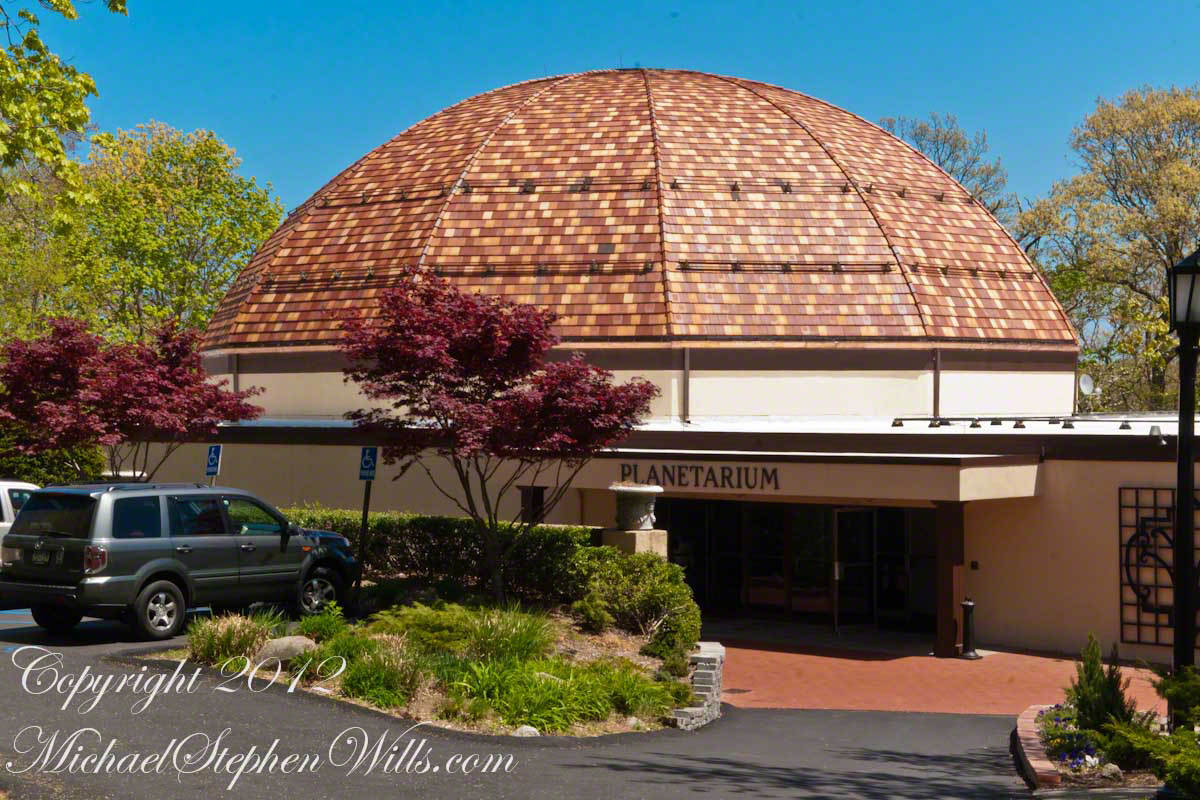
The Planetarium
Thirty five years after completing his Eagles Nest estate and twenty seven after his death, this planetarium became an addition to the museums left by William K. Vanderbilt II (“Willie K”).
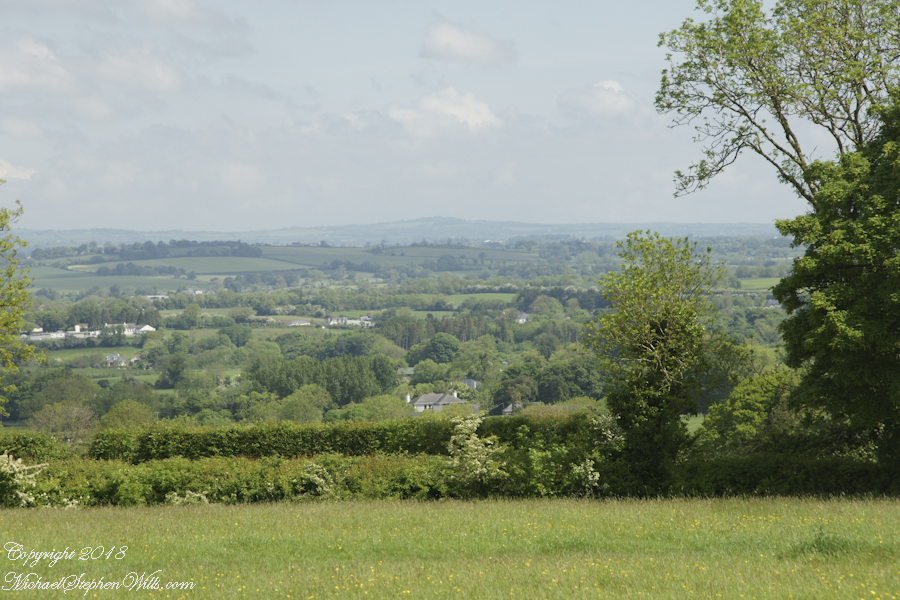
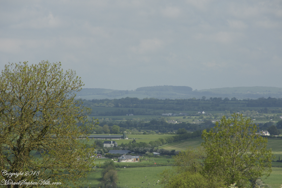
Located next to the Rose Garden, where my last blog “A Taste of Gatsby – details from the Vanderbilt Museum” left off, this planetarium is on the site for the estate tennis courts. The Planetarium reopened March 2013 with a complete equipment upgrade.
Click this link for my OnLine Photography Galleries
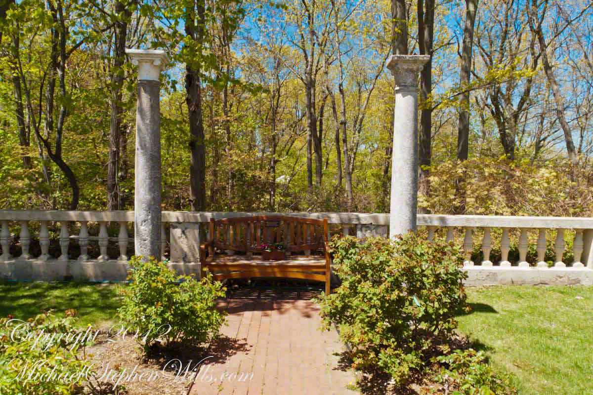
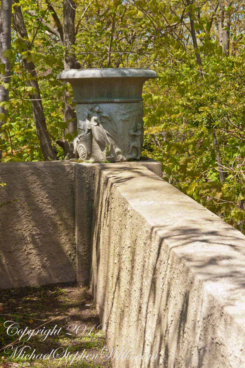
There are several museums on the grounds, joined by graciously appointed walkways.
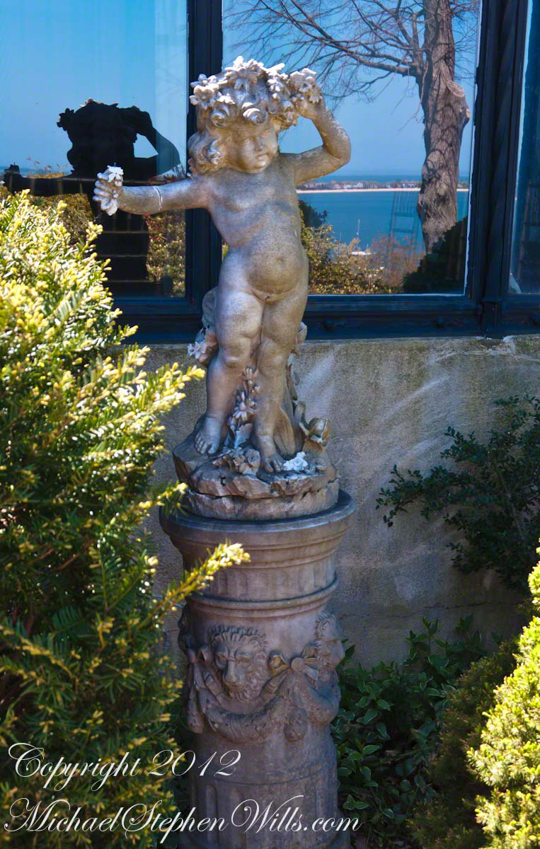
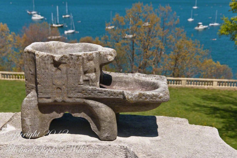
This is a corner urn along the walk to the mansion.
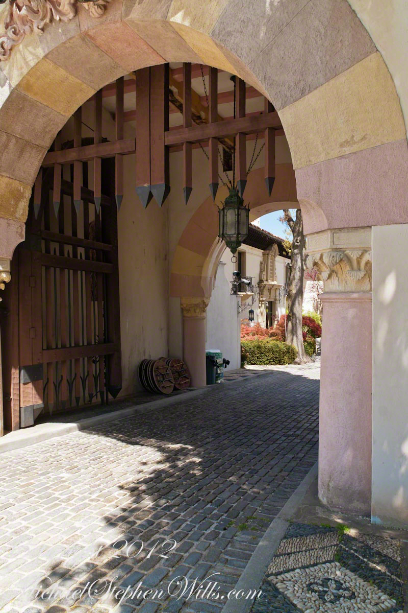
Courtyard Entrance
The Spanish Revival style mansion gathers around a central, cobblestone courtyard entered through this elaborate sandstone gate flanked by two carved sandstone urns, each at least six feet tall with pedestal.
The gated entrance is the base of a bell tower. Willie brought from Russia a church bell that is older than the Liberty bell. He used to have great fun ringing the bell on Sunday mornings to disturb the sleep of his partying son and friends. That stopped when the neighbors arrived as an angry, spontaneous group to complain.
The cobblestone road leads up to the mansion, over a bridge and into the courtyard.
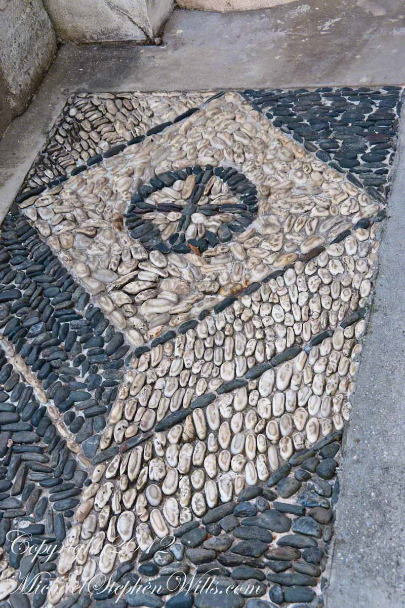
Here is a detail of the walk way, formed from glacially rounded pebbles very common on beaches of Long Island’s North Shore.
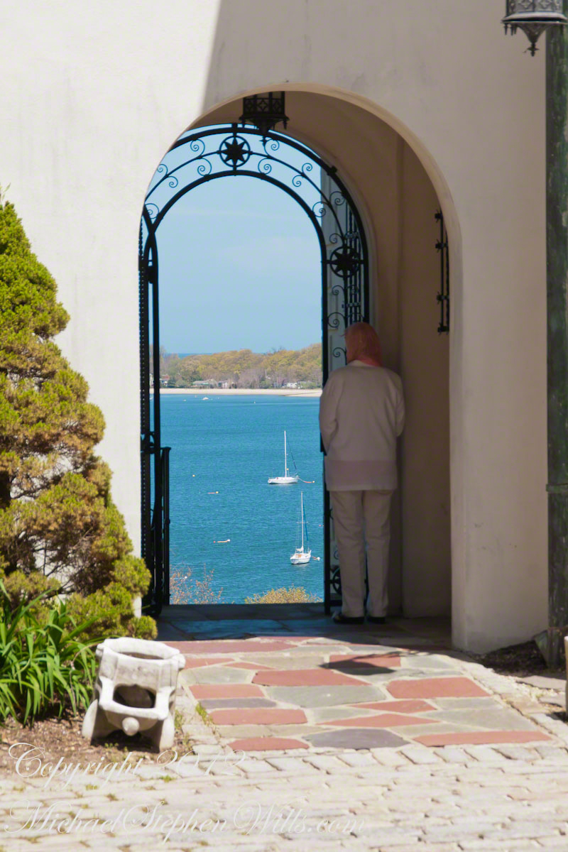
A Ghost in the Garden
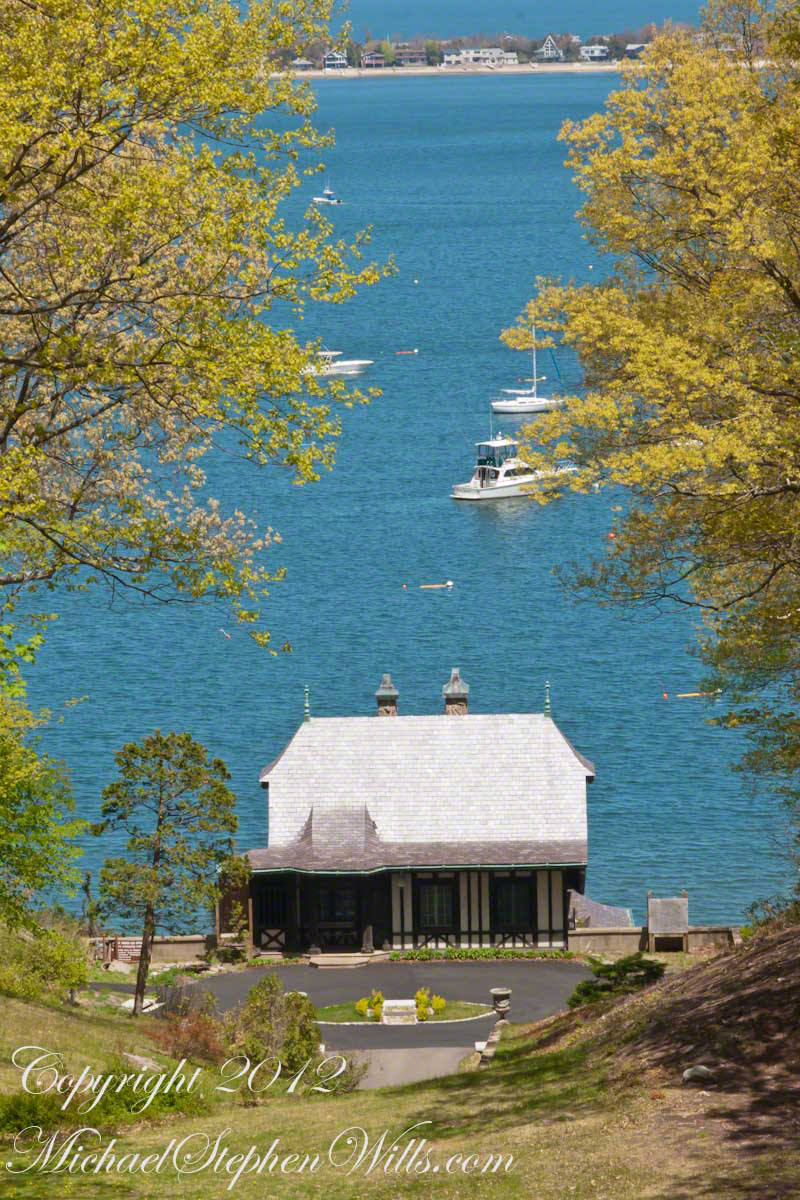
Across the courtyard from the bell tower is this arched entrance to the gardens along the east mansion walls. As we approached the figure to the right seemed to be a ghost, she was so still, enthralled by the view of Northport Harbor.
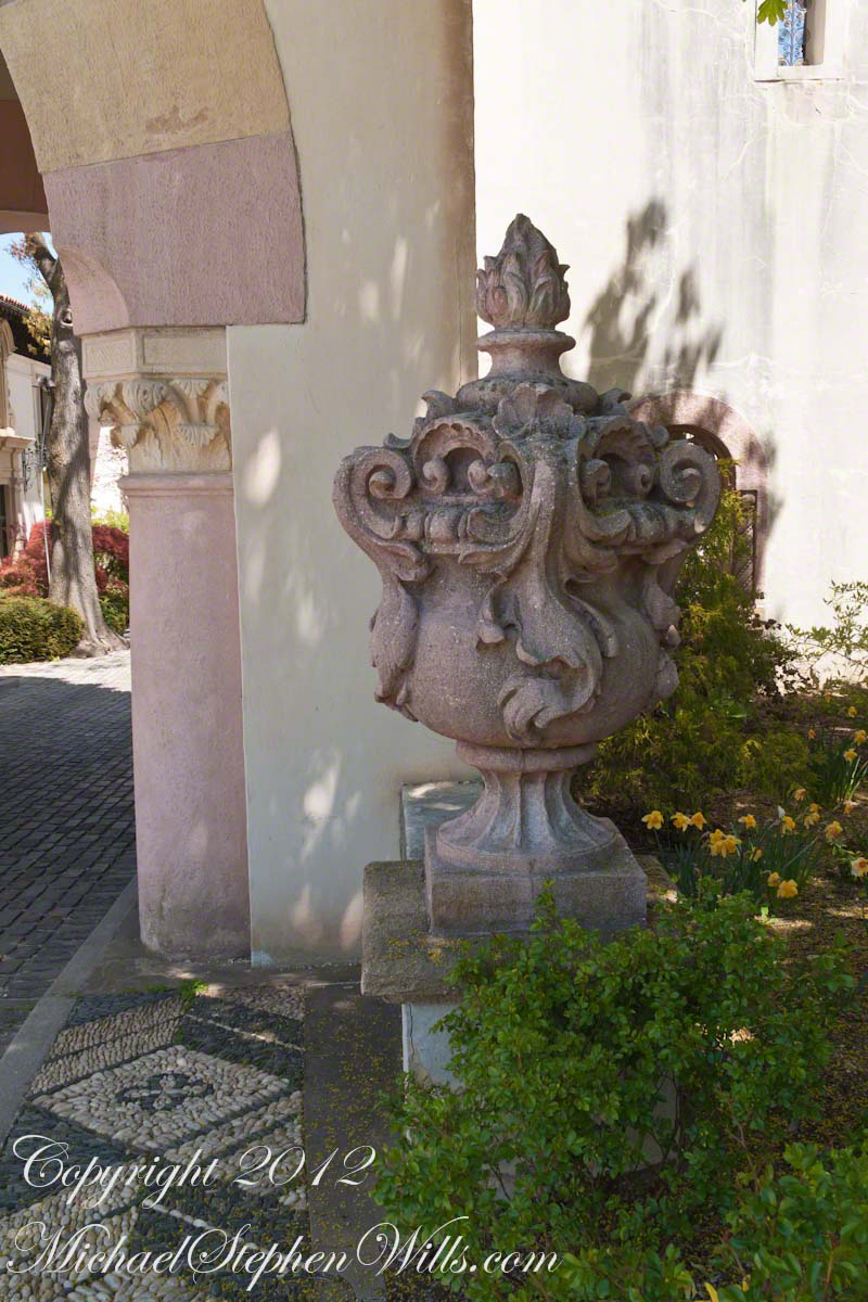
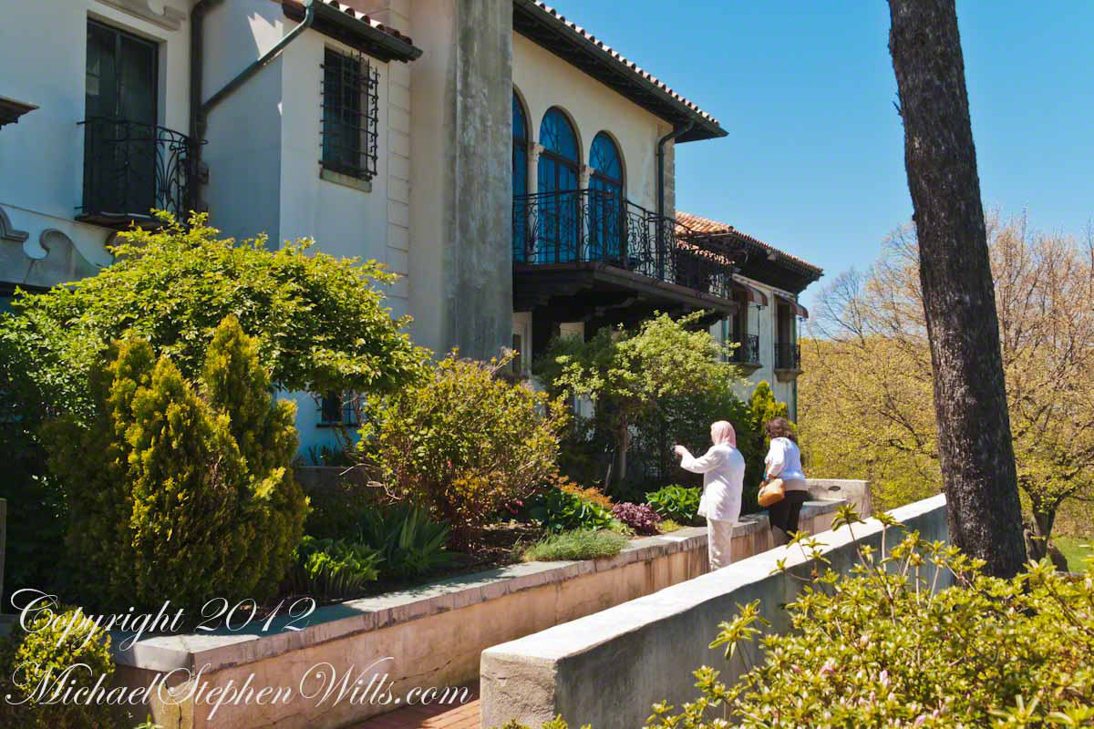
There were many cast stone planters in an Aztec motif such as that to the left of the archway and, in a detail shot, below.

We continued through the archway into the gardens. With plenty of time before the Mansion tour (highly recommended) we wandered at length and had an interesting conversation with the figure of the archway, a retired lady from Smithtown (and not a ghost).

 A Taste of Gatsby