Venus at dawn

Planet Thoughts

Since 1500 B.C. until today…..

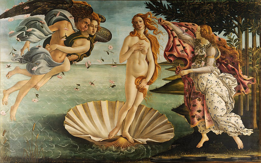
The planet we call Venus has ancient associations with fertility goddesses. The link has persisted at least from the 1600 century B.C. inscribed on Sumerian cuneiform tablets. Three thousand years later the Italian artist Botticelli created in tempura paint on canvas the image of Venus rising from the sea, as the planet Venus does today.
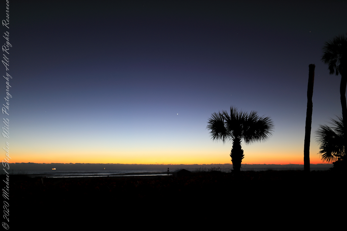
Venus Rising

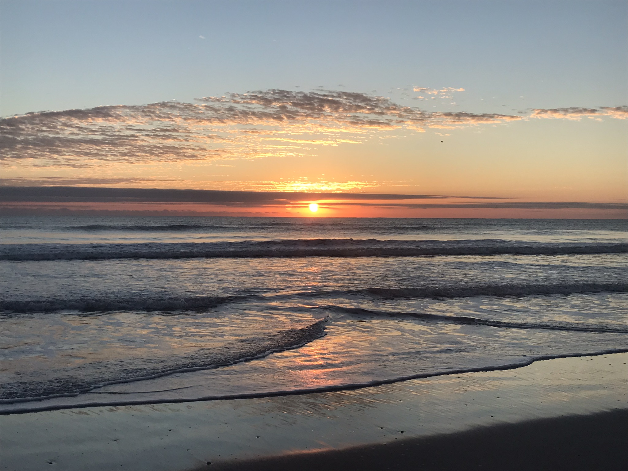
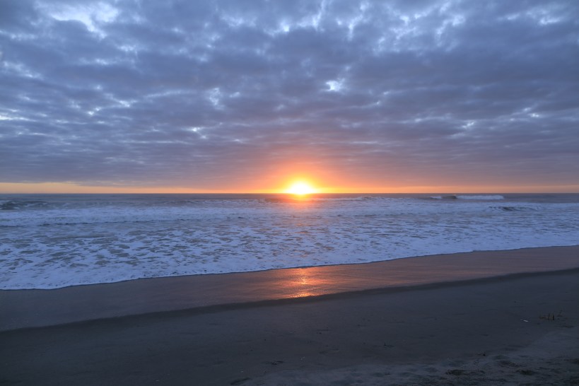
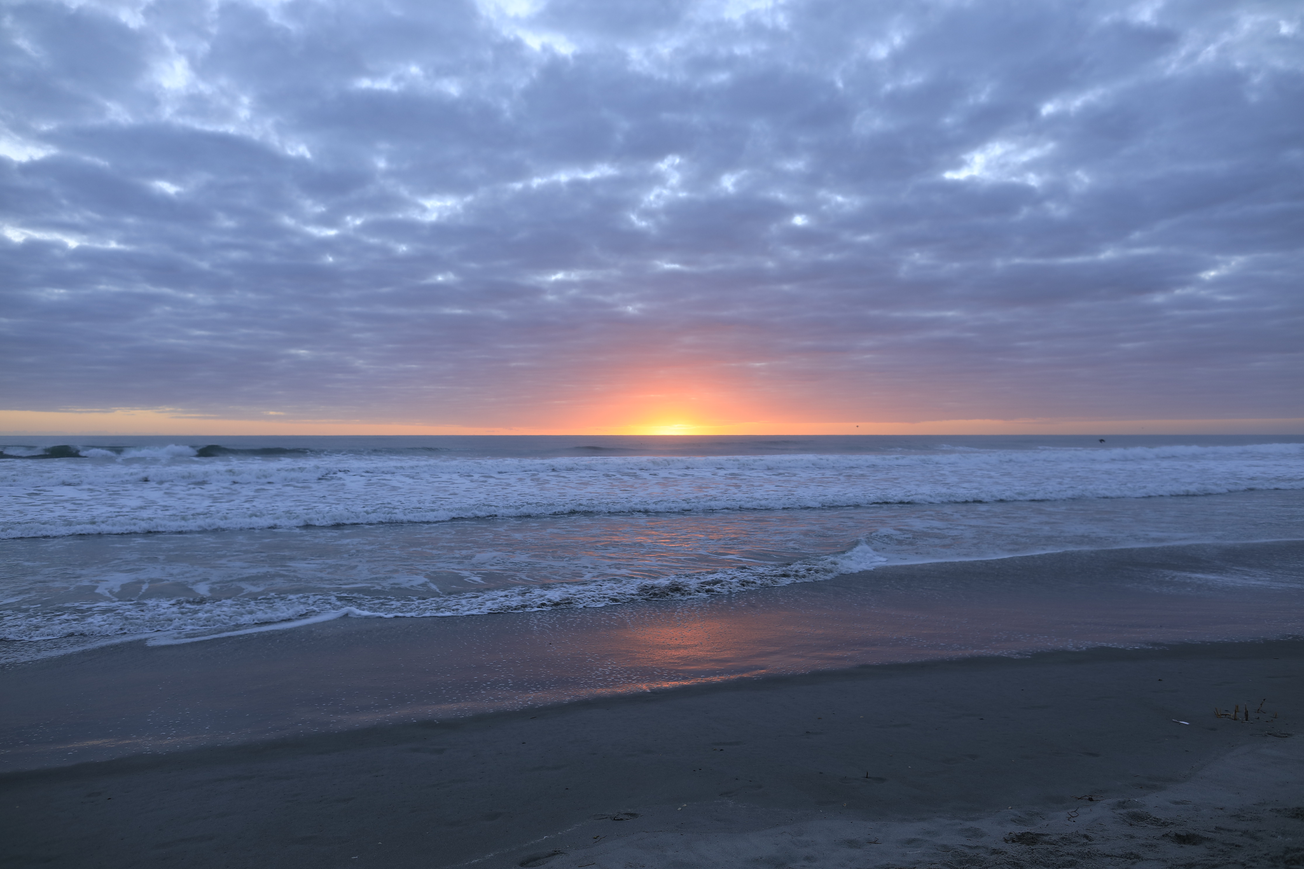
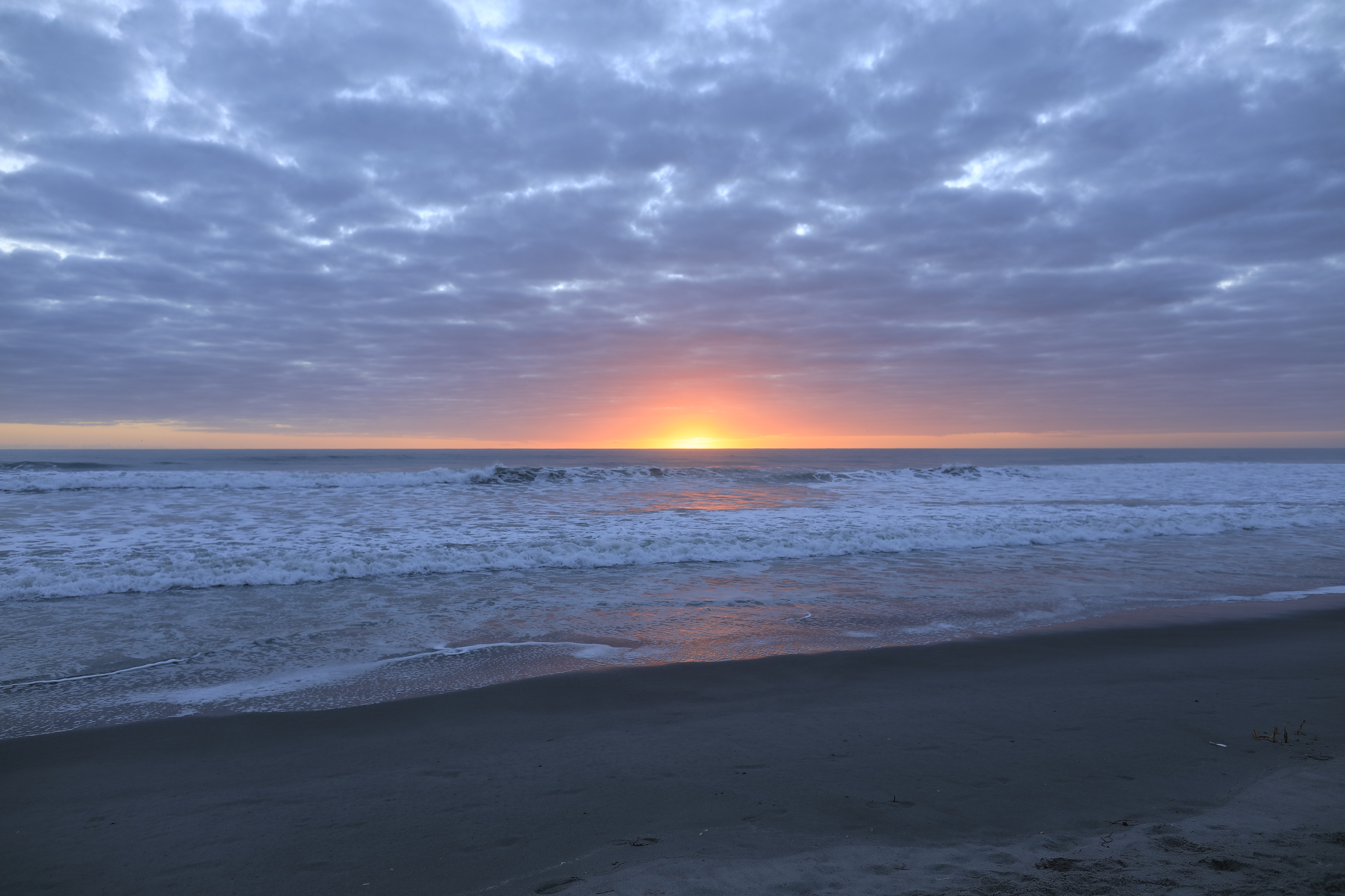
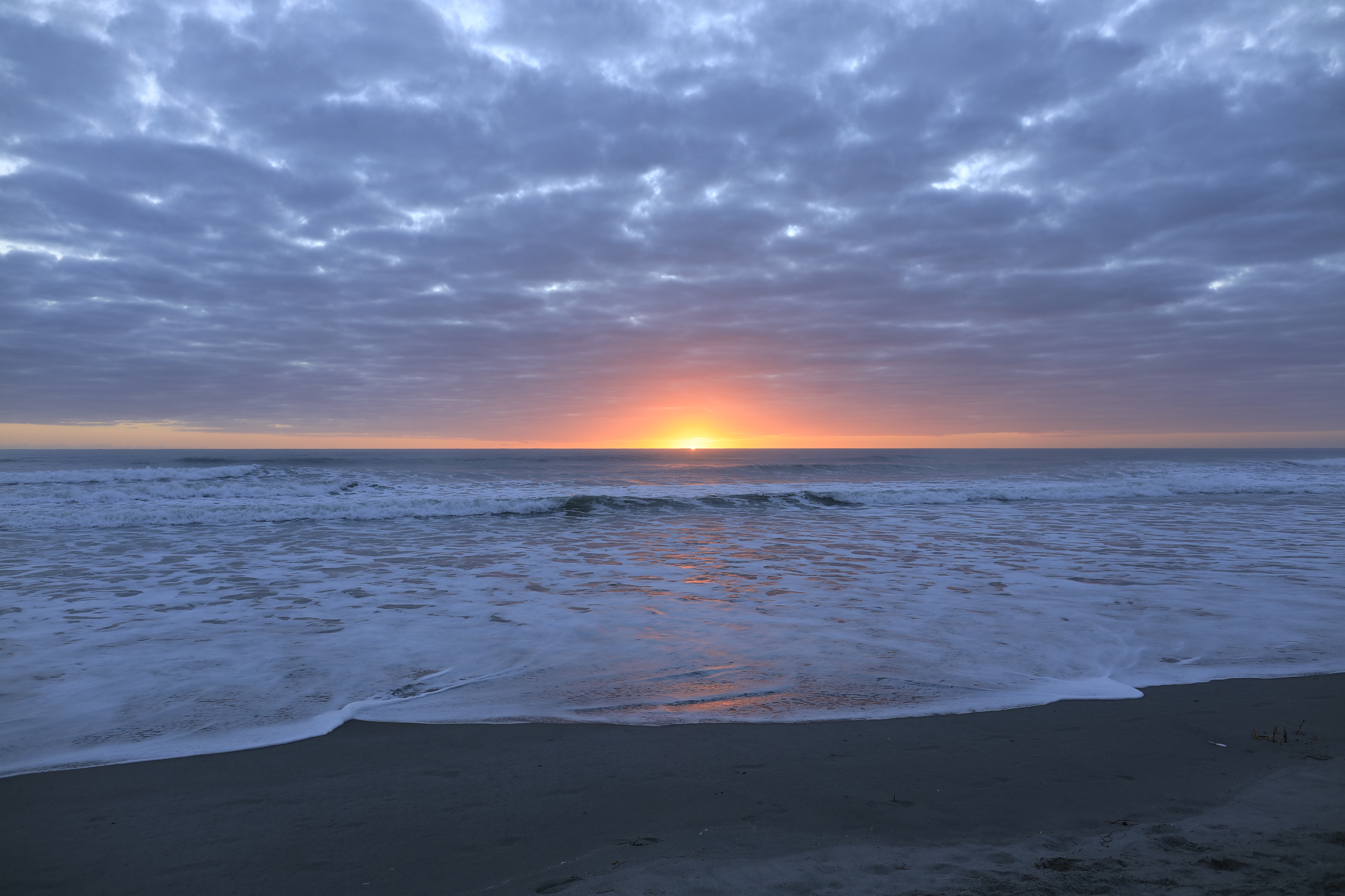
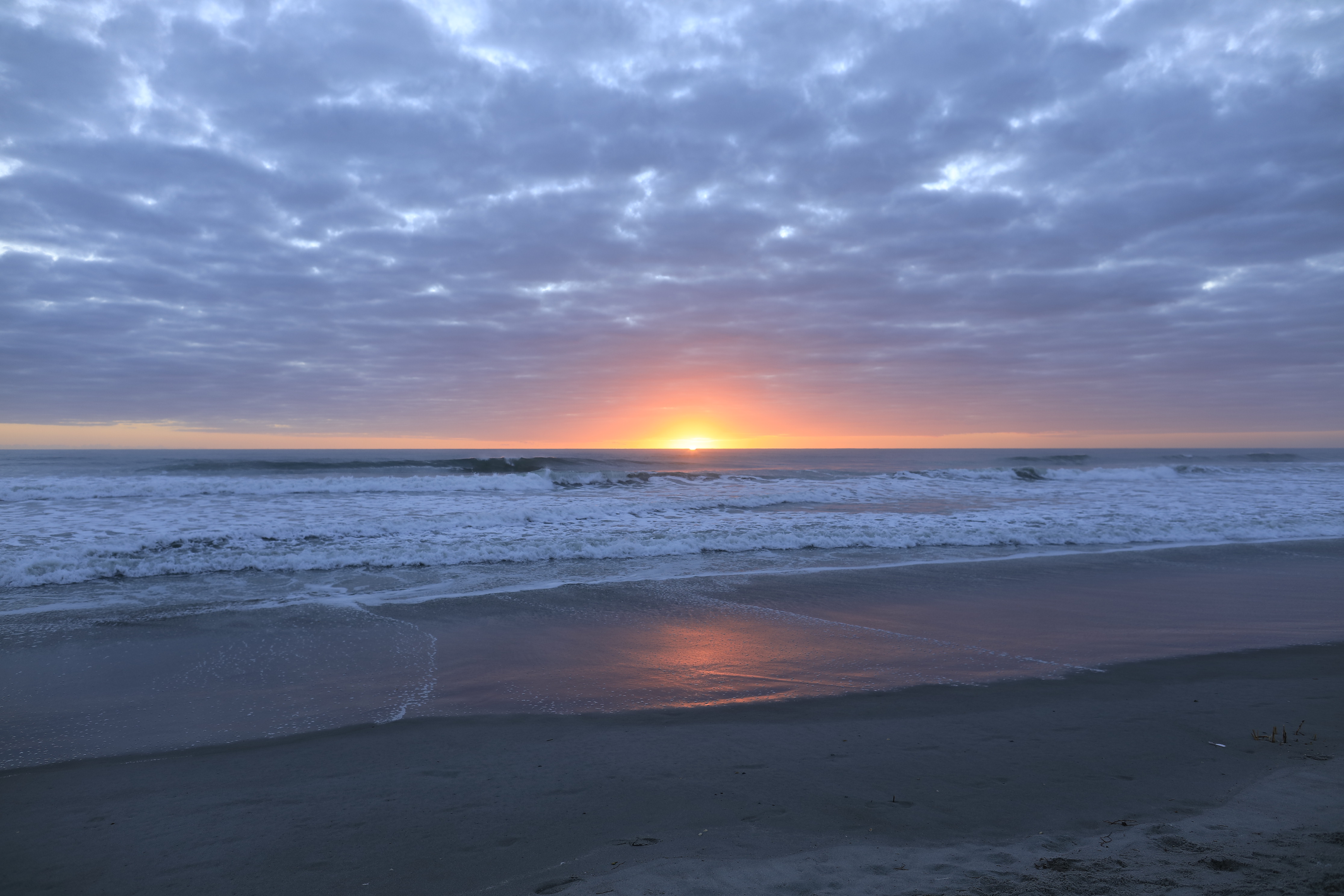
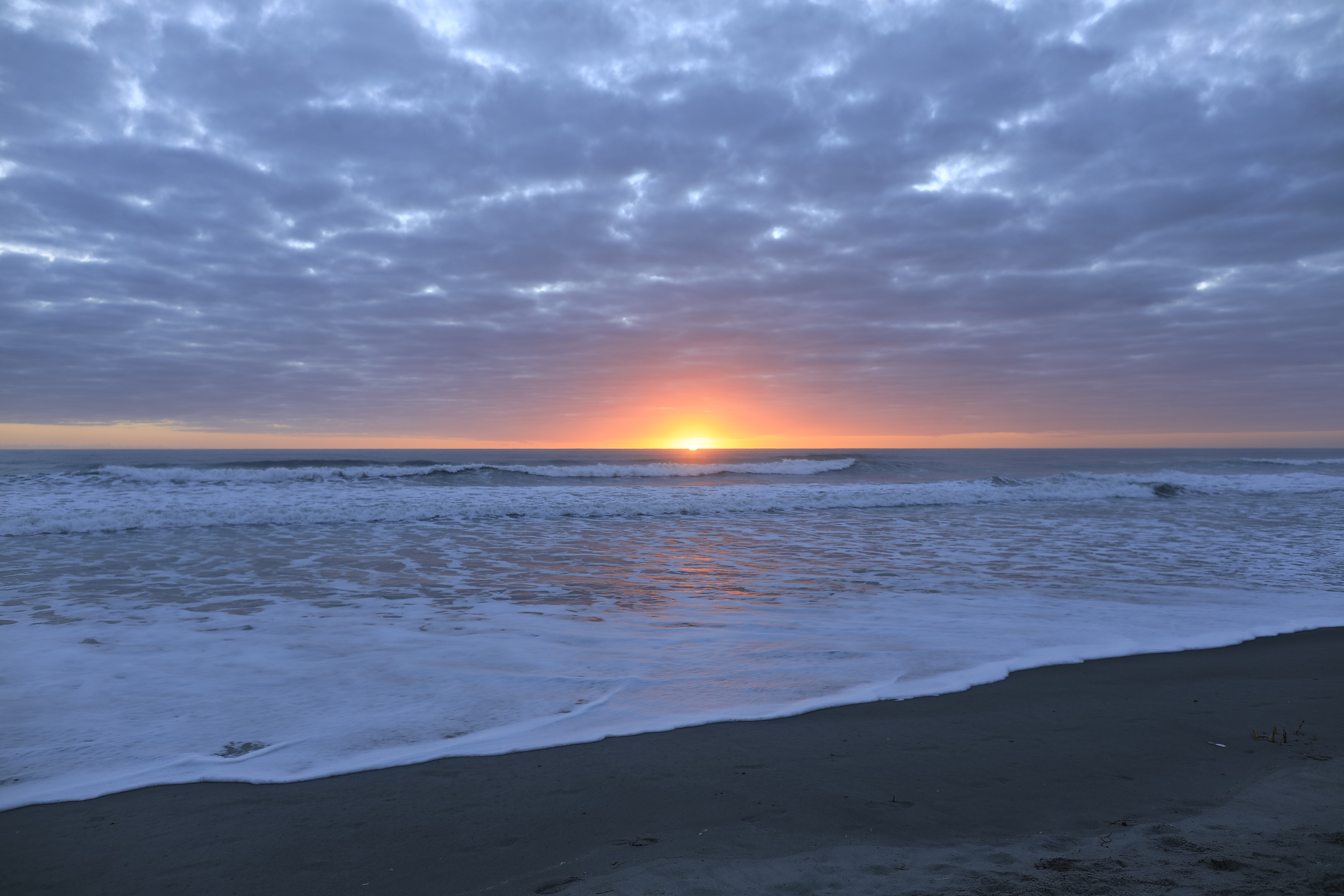
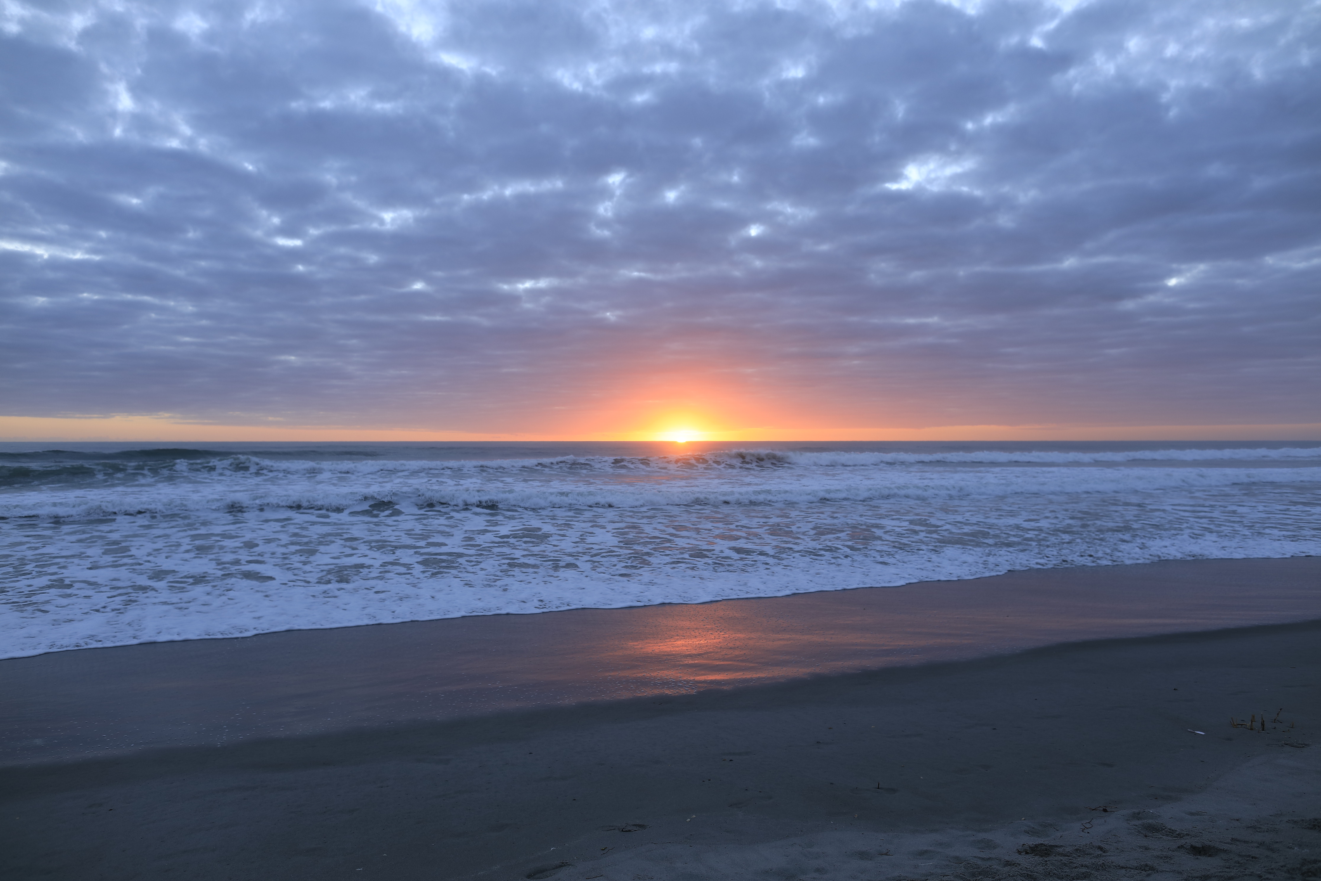
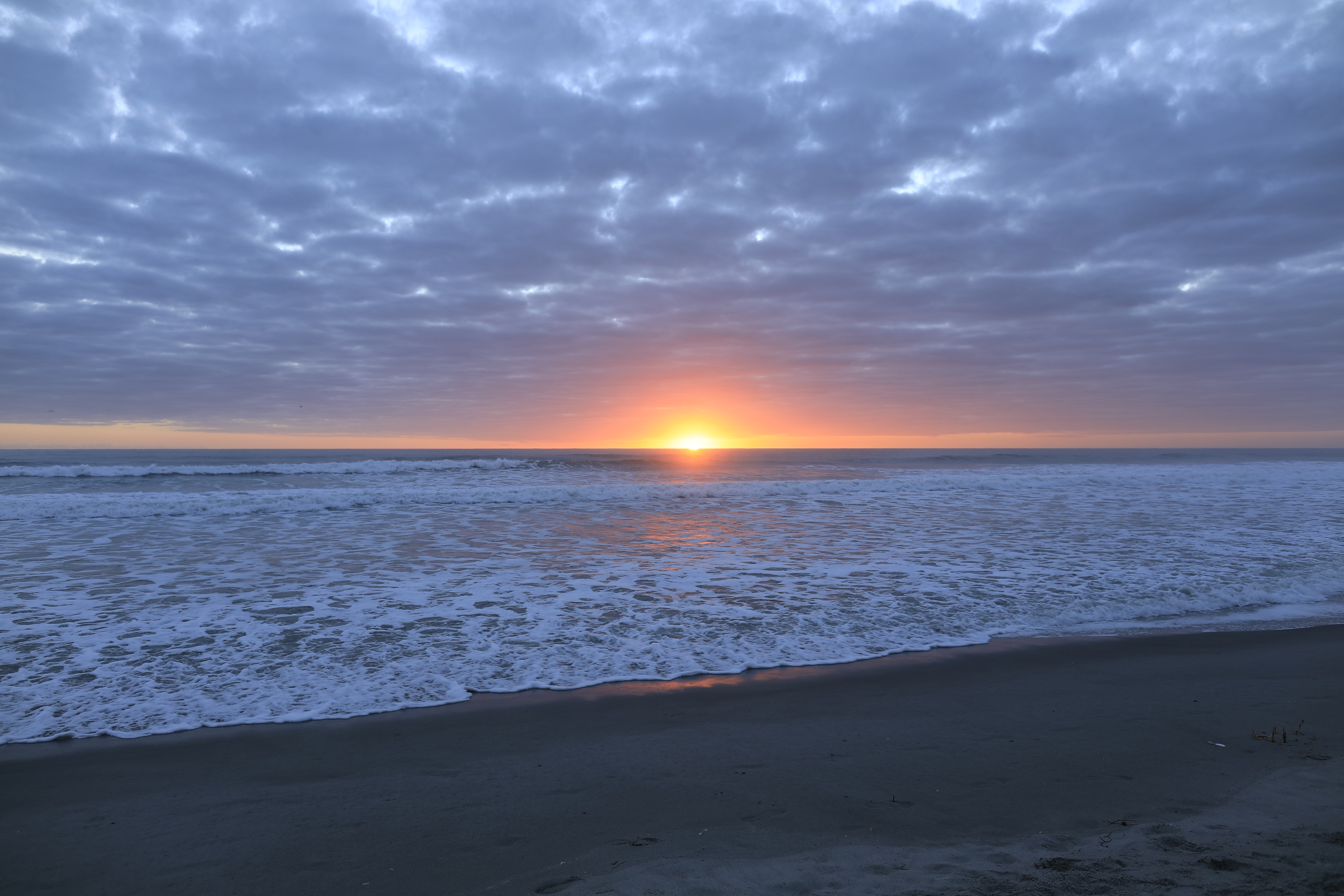
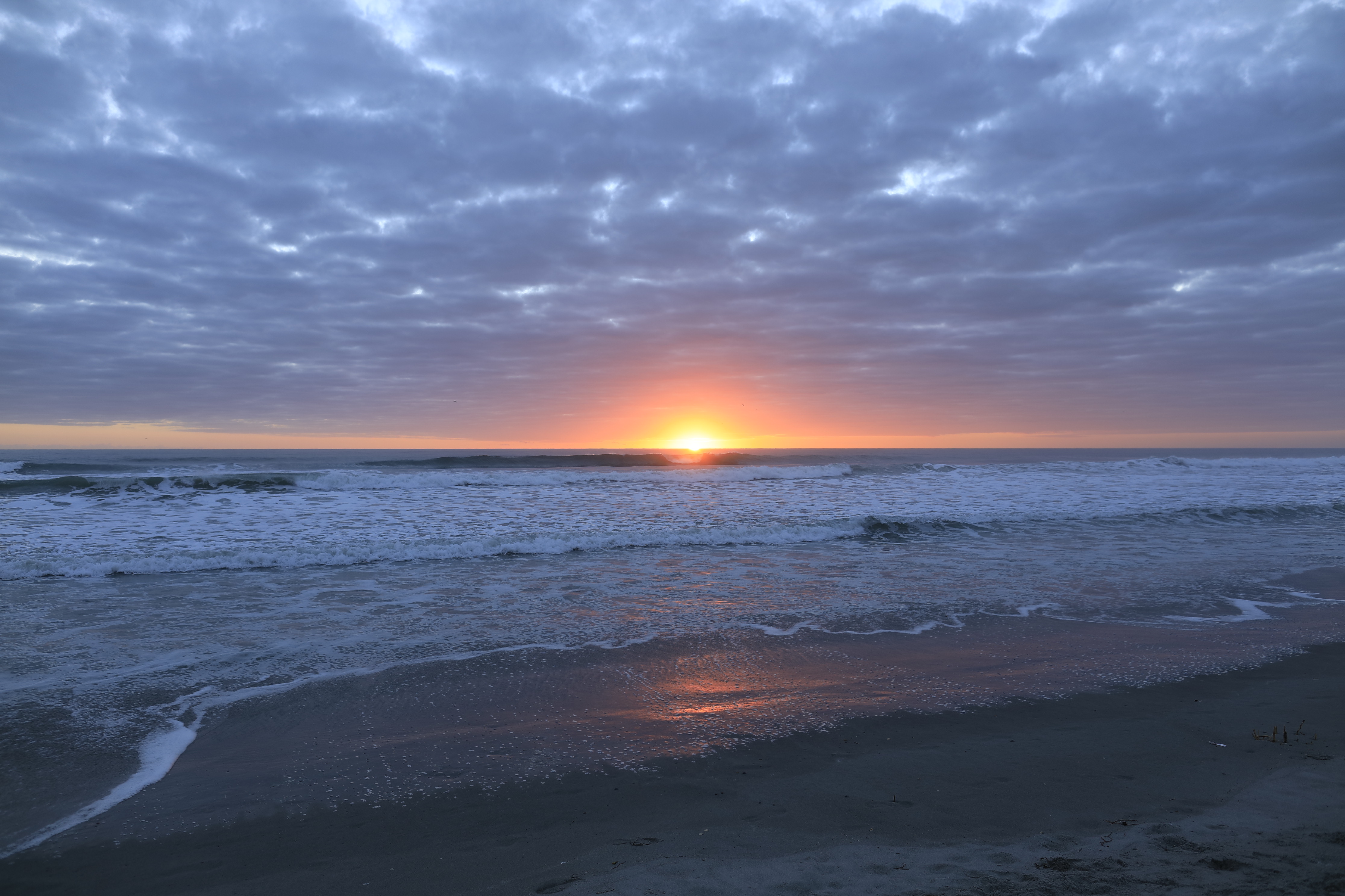
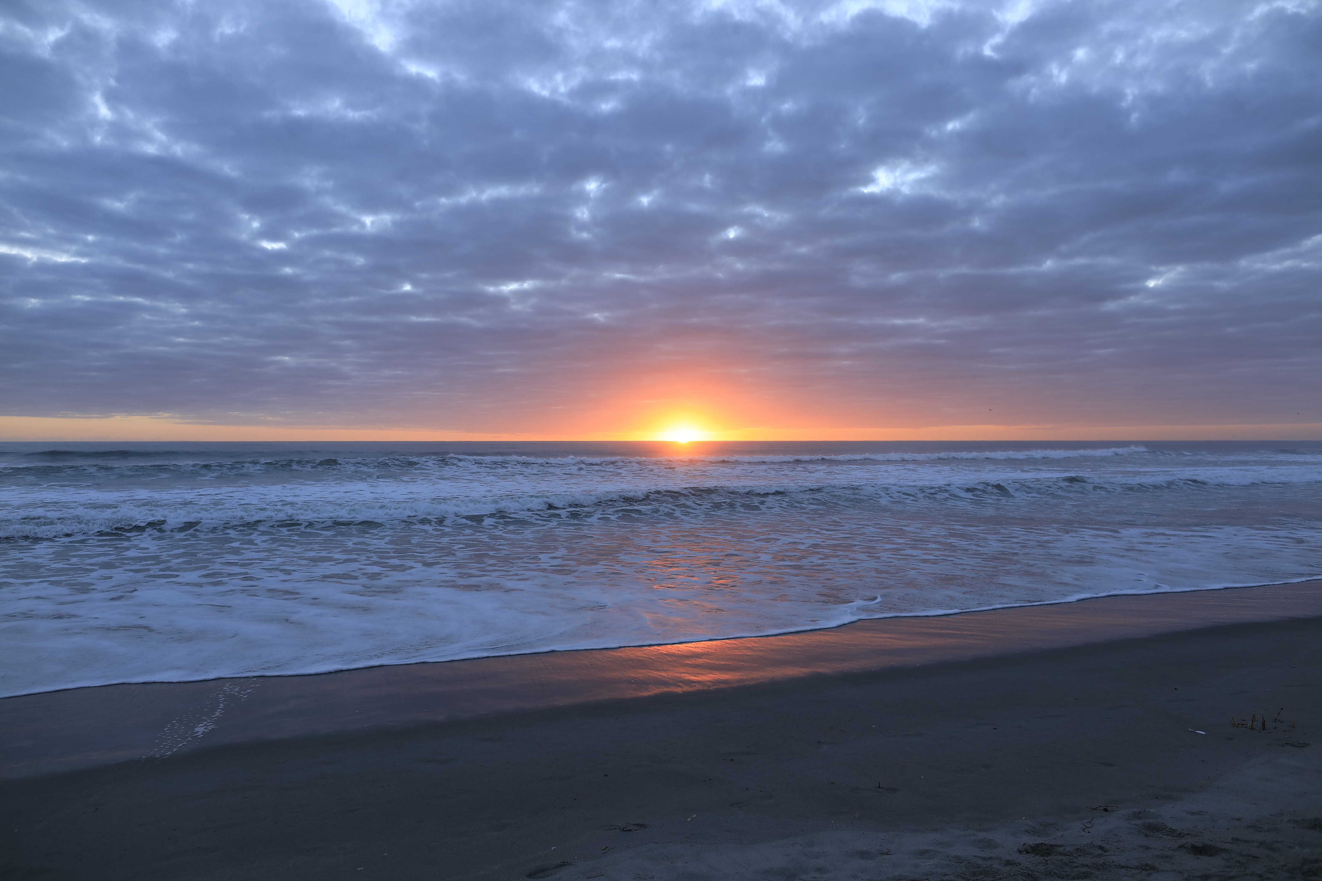
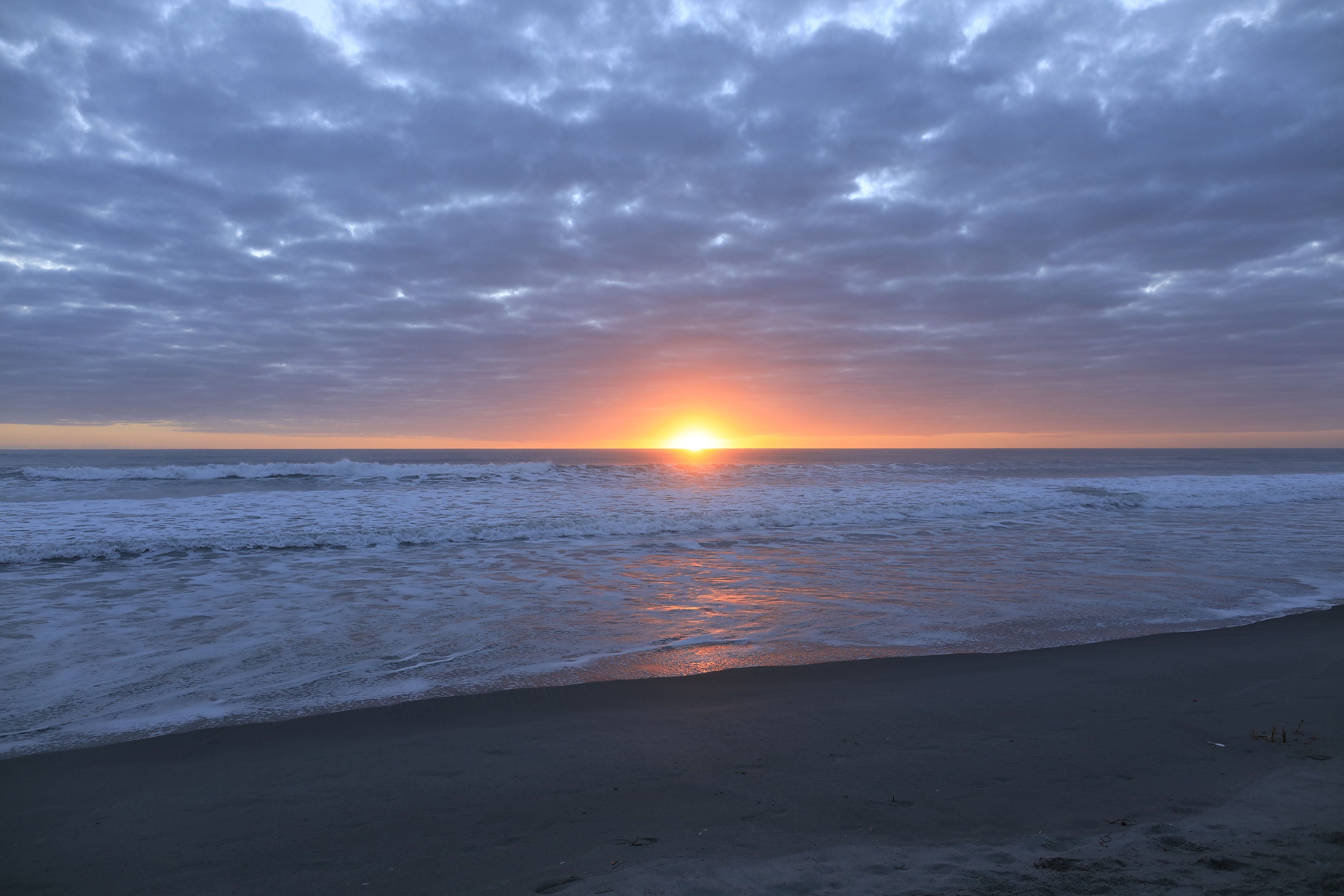
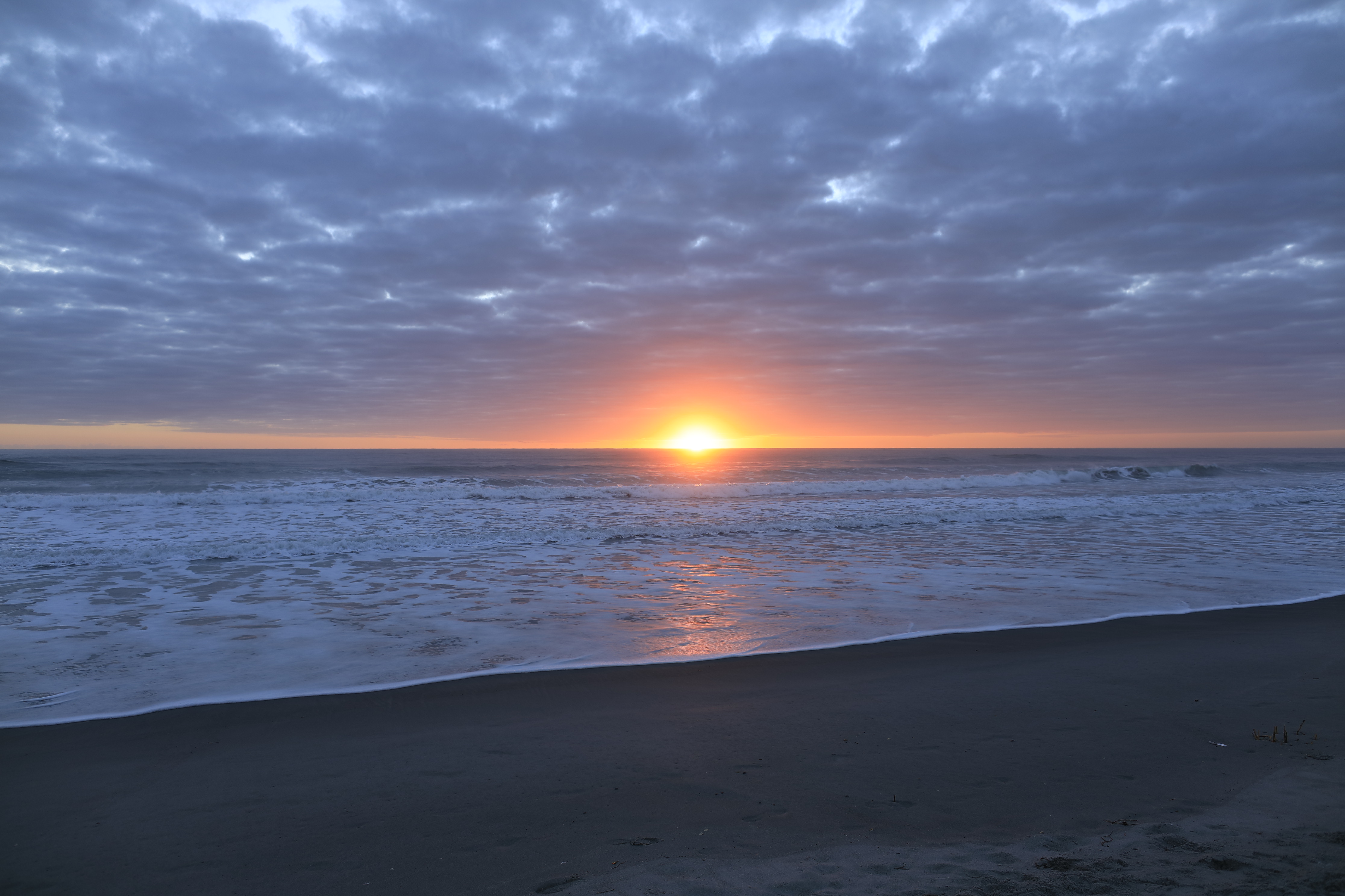
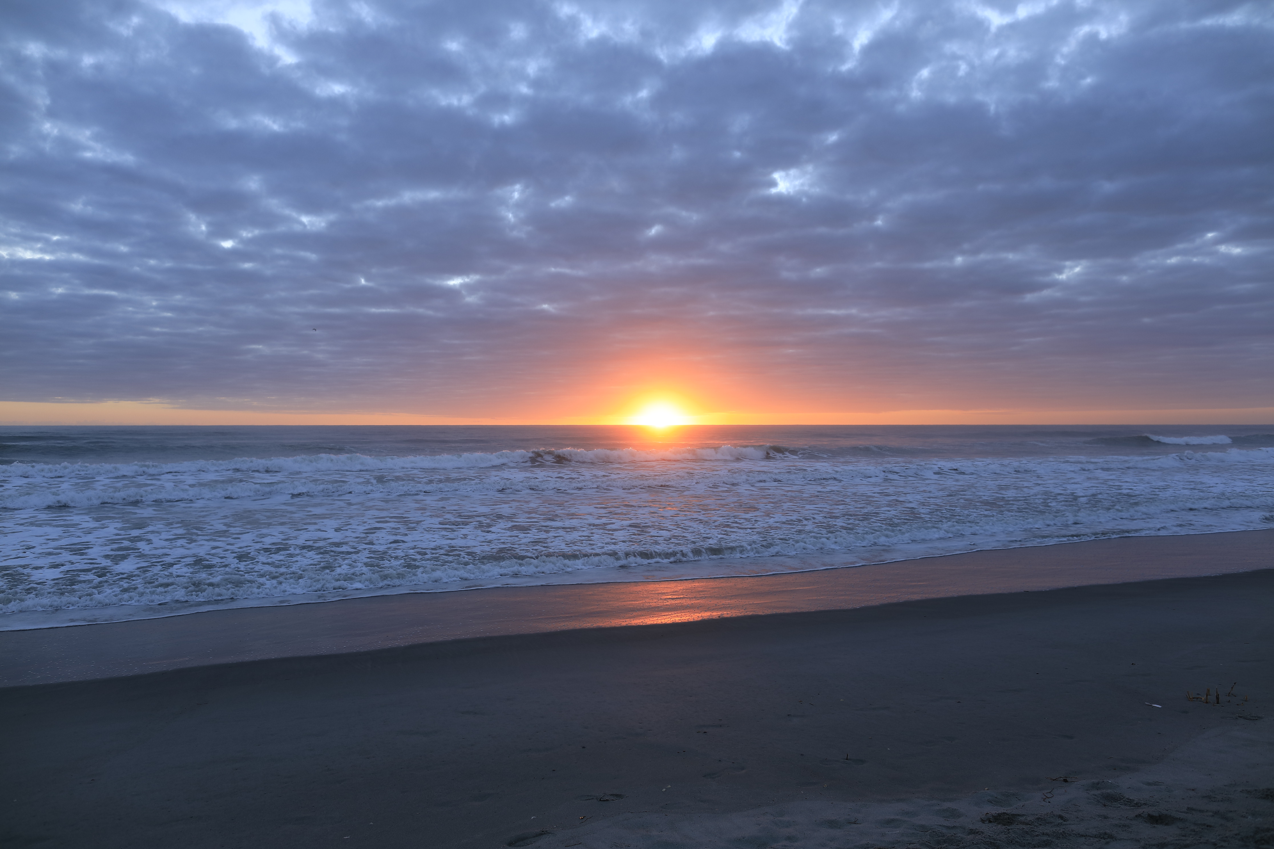
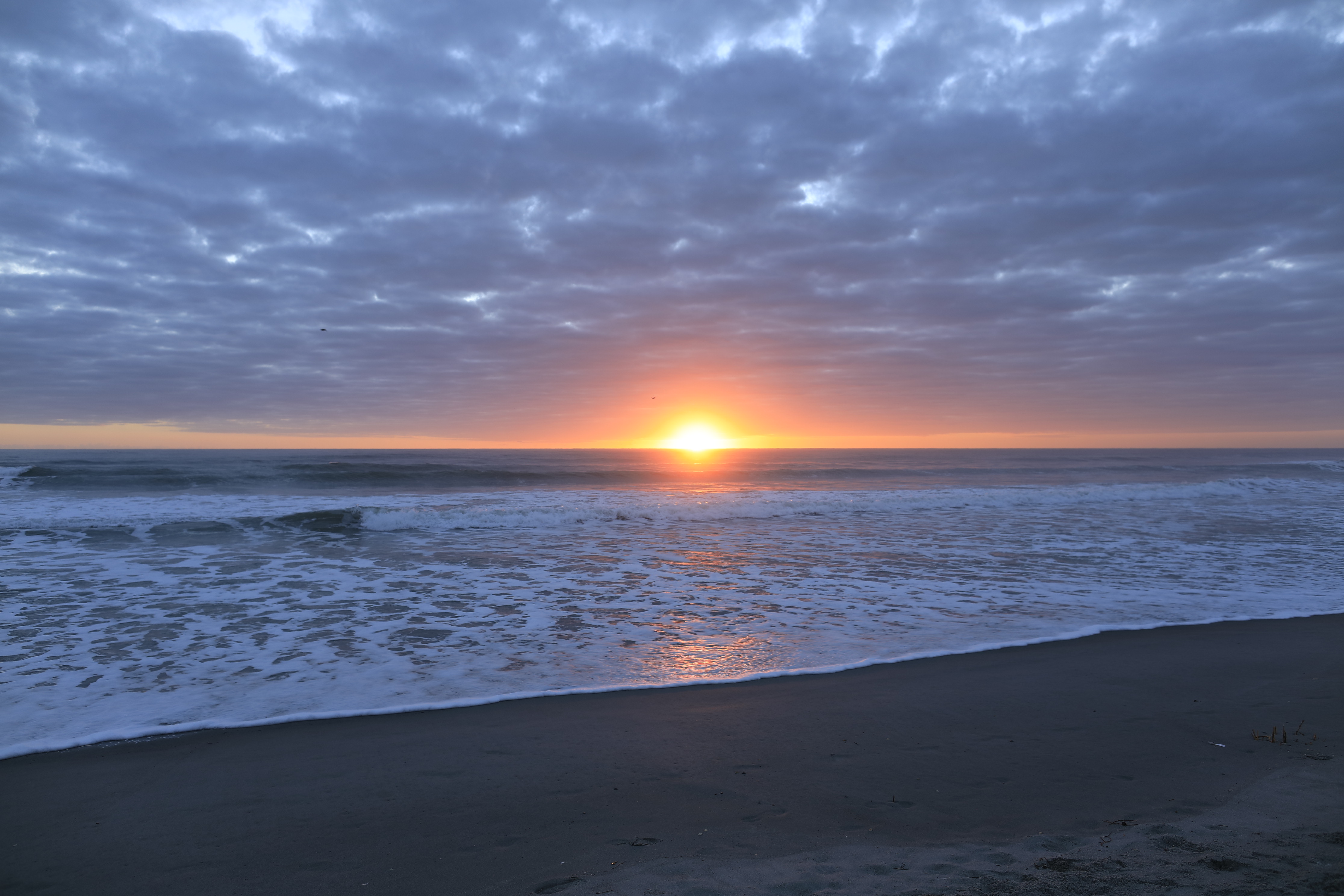
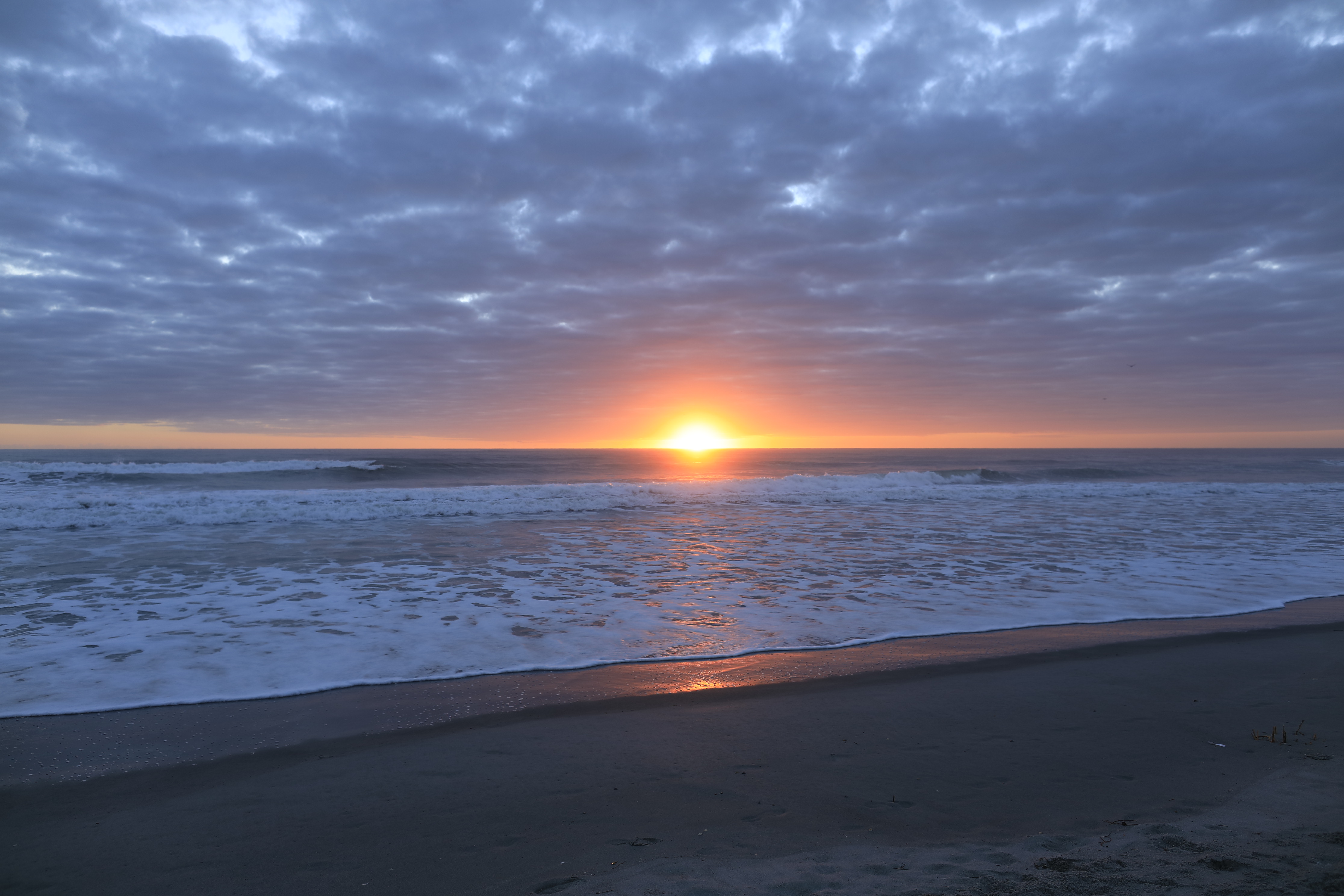
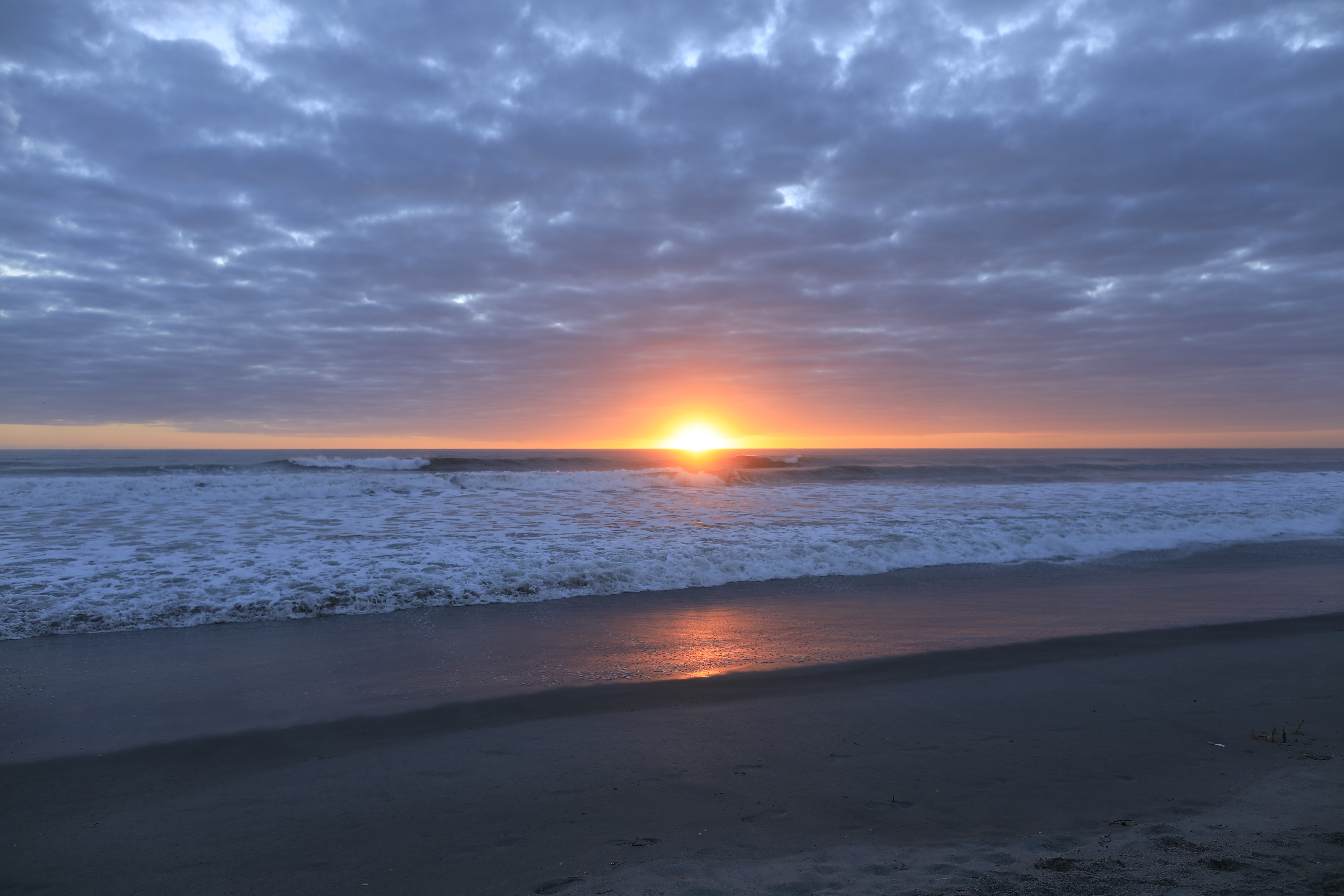
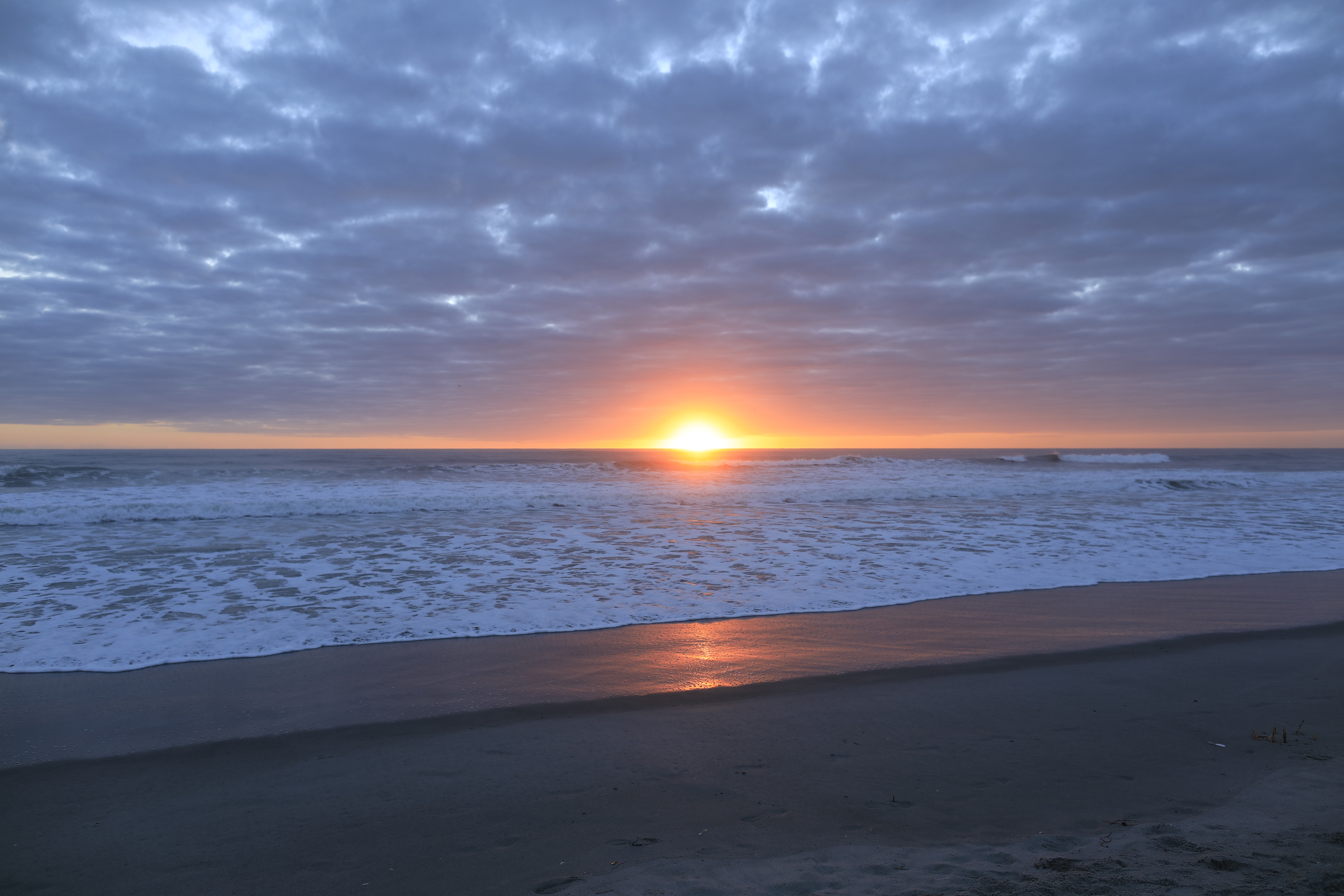
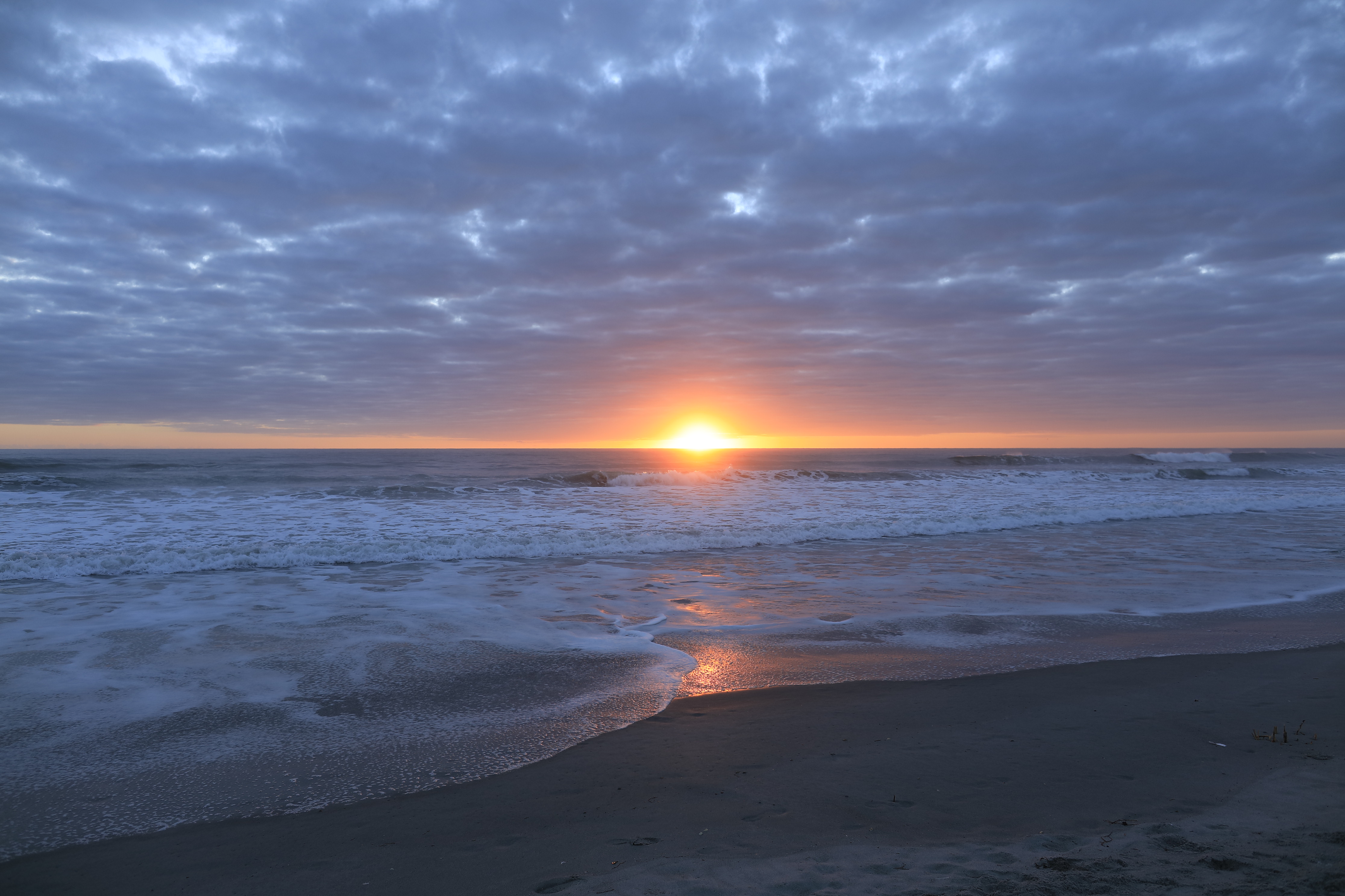
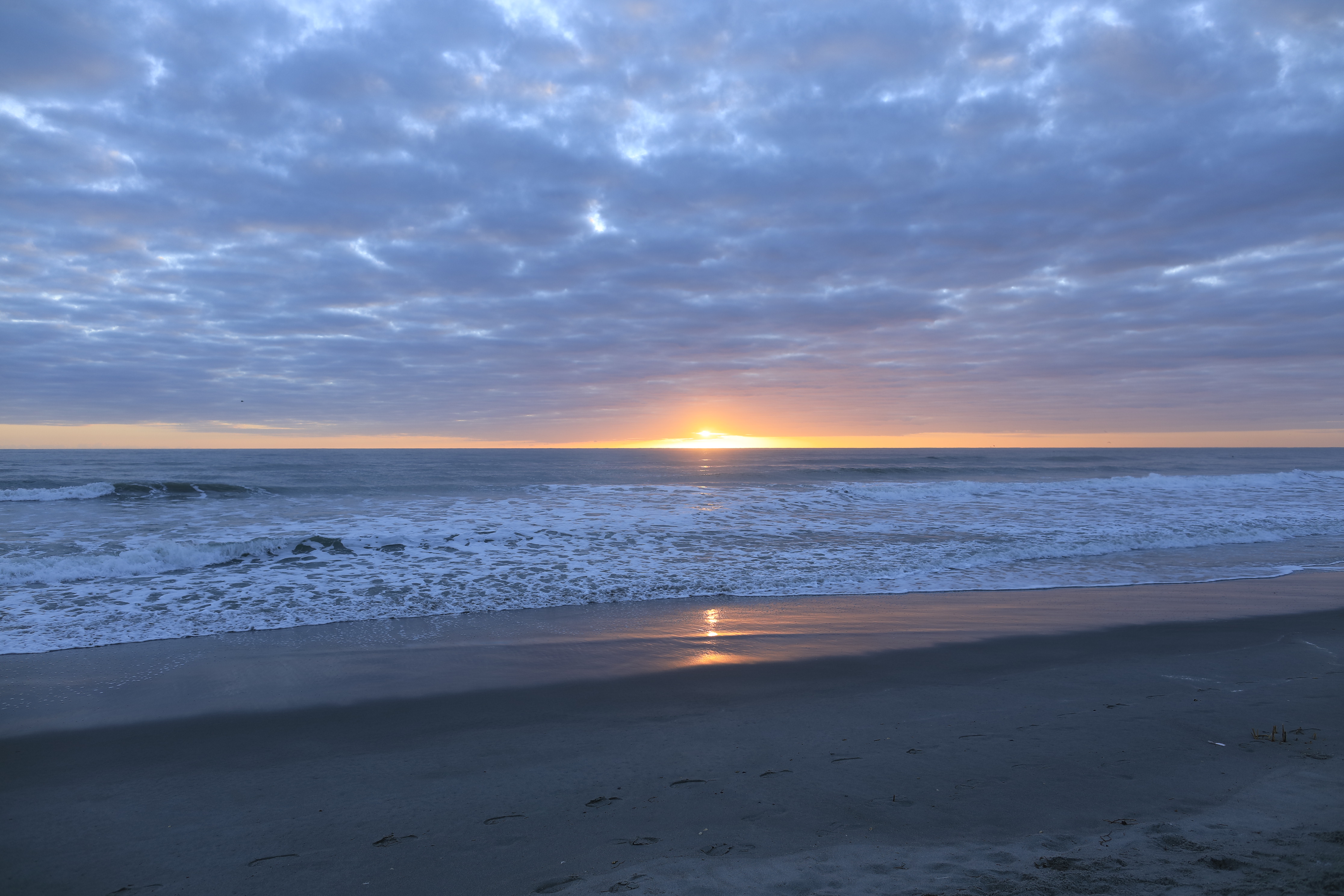
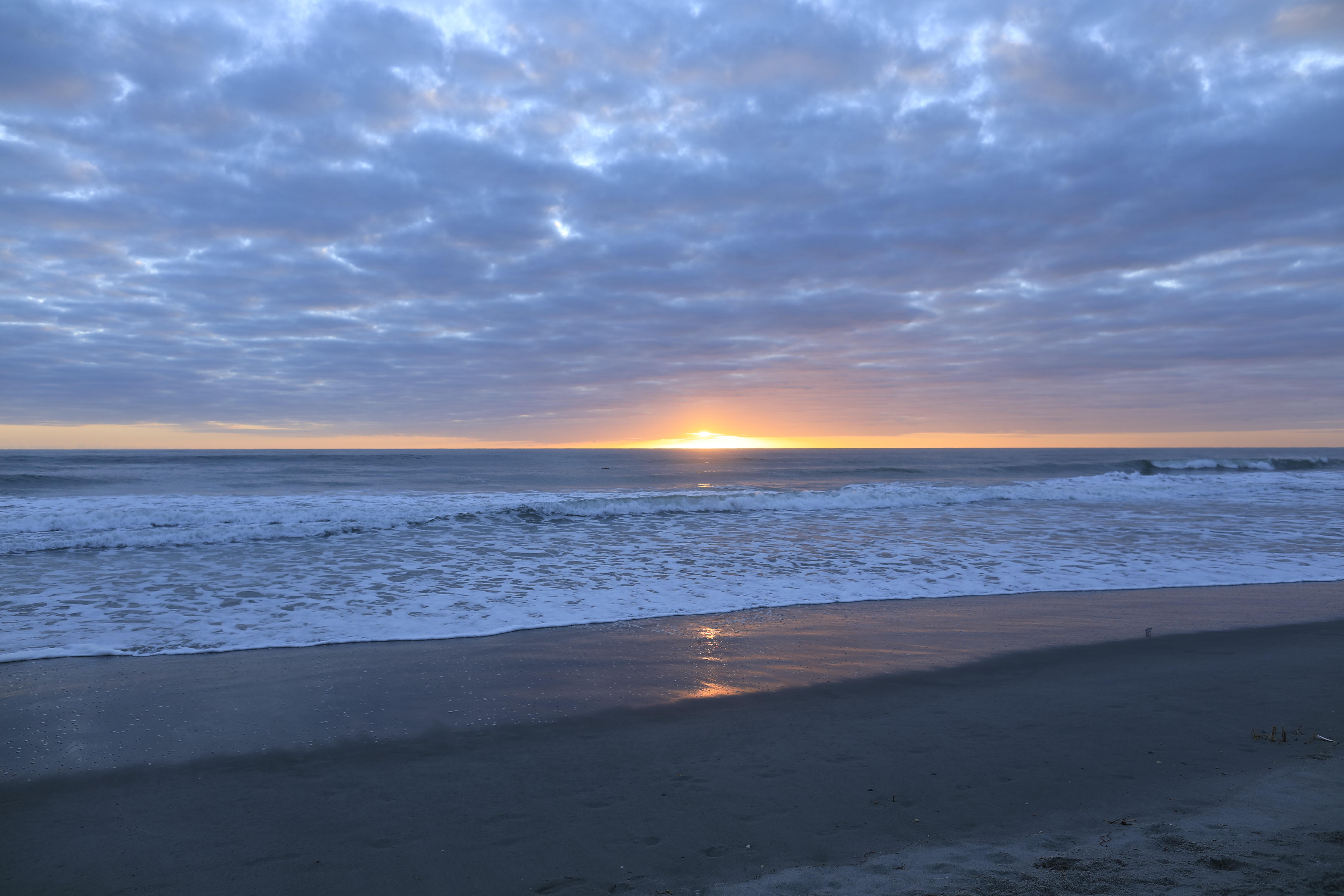
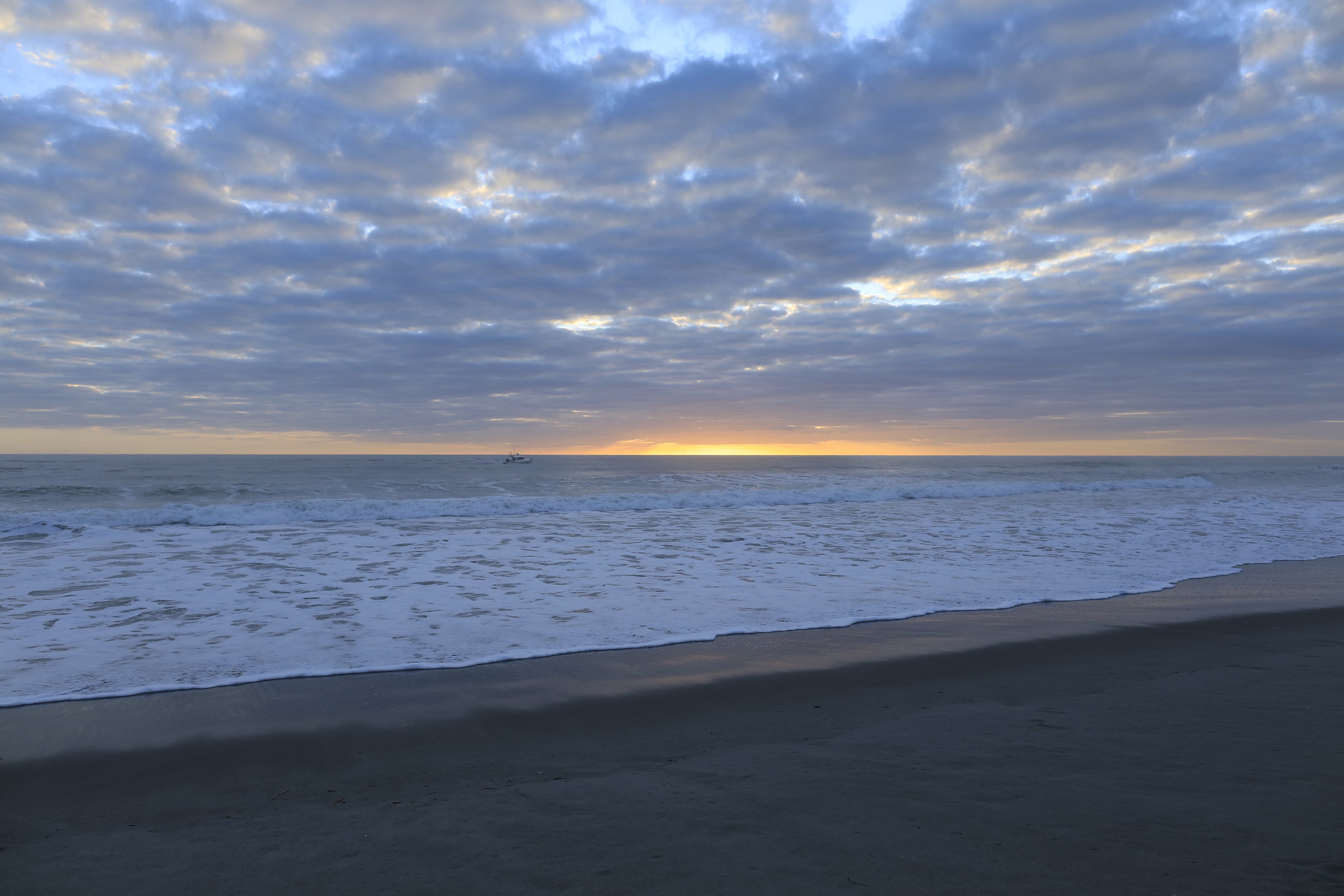
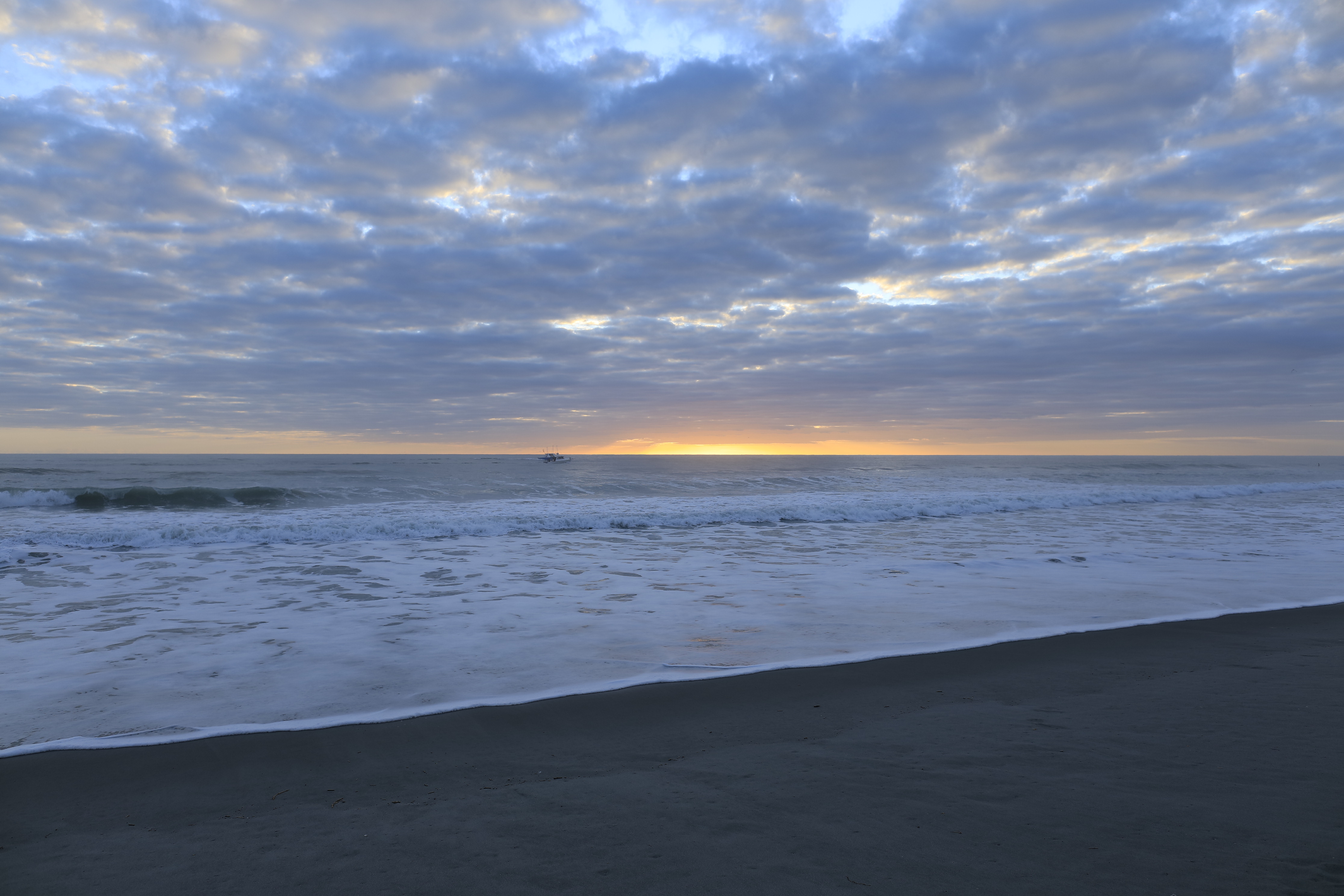
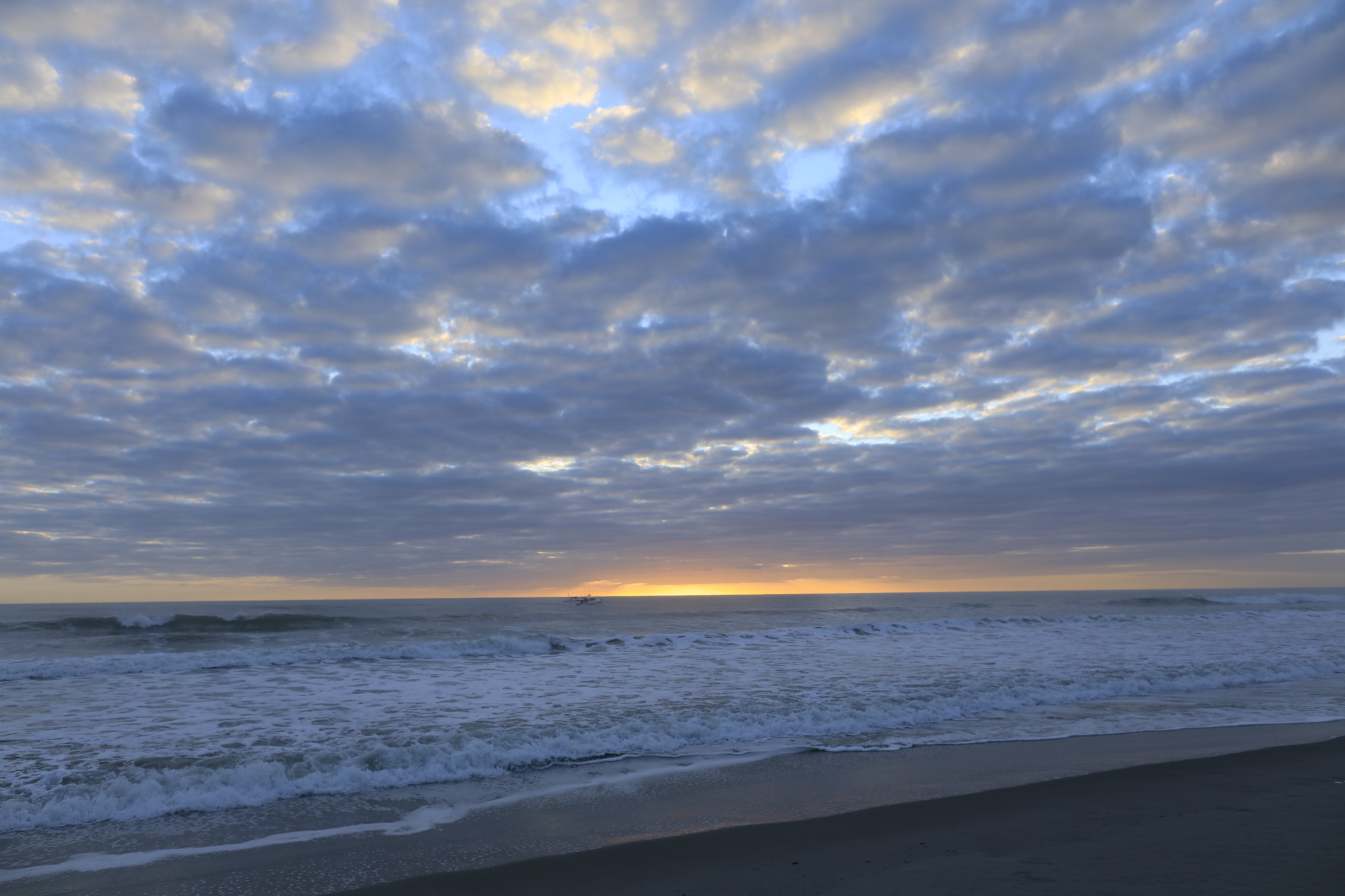
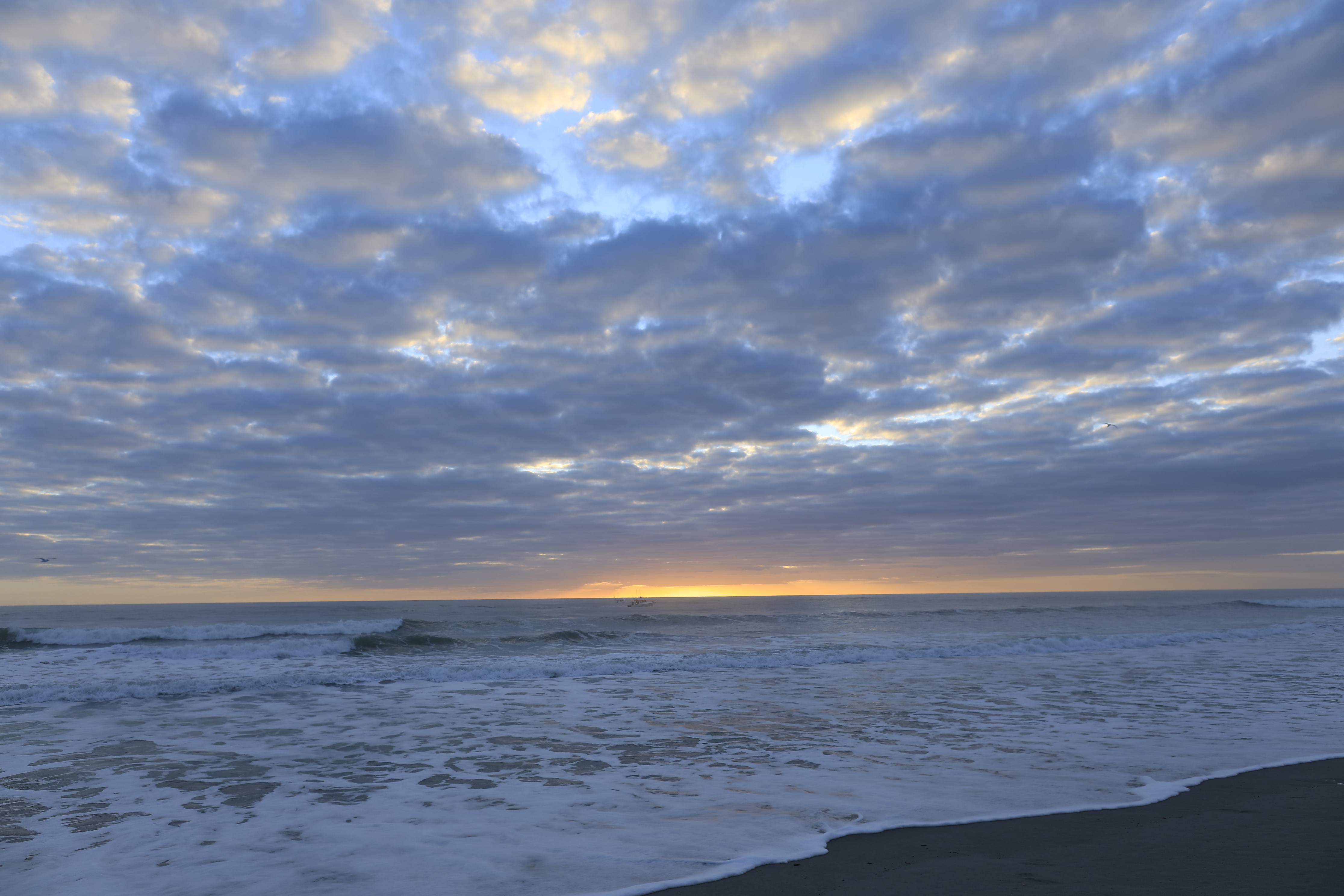
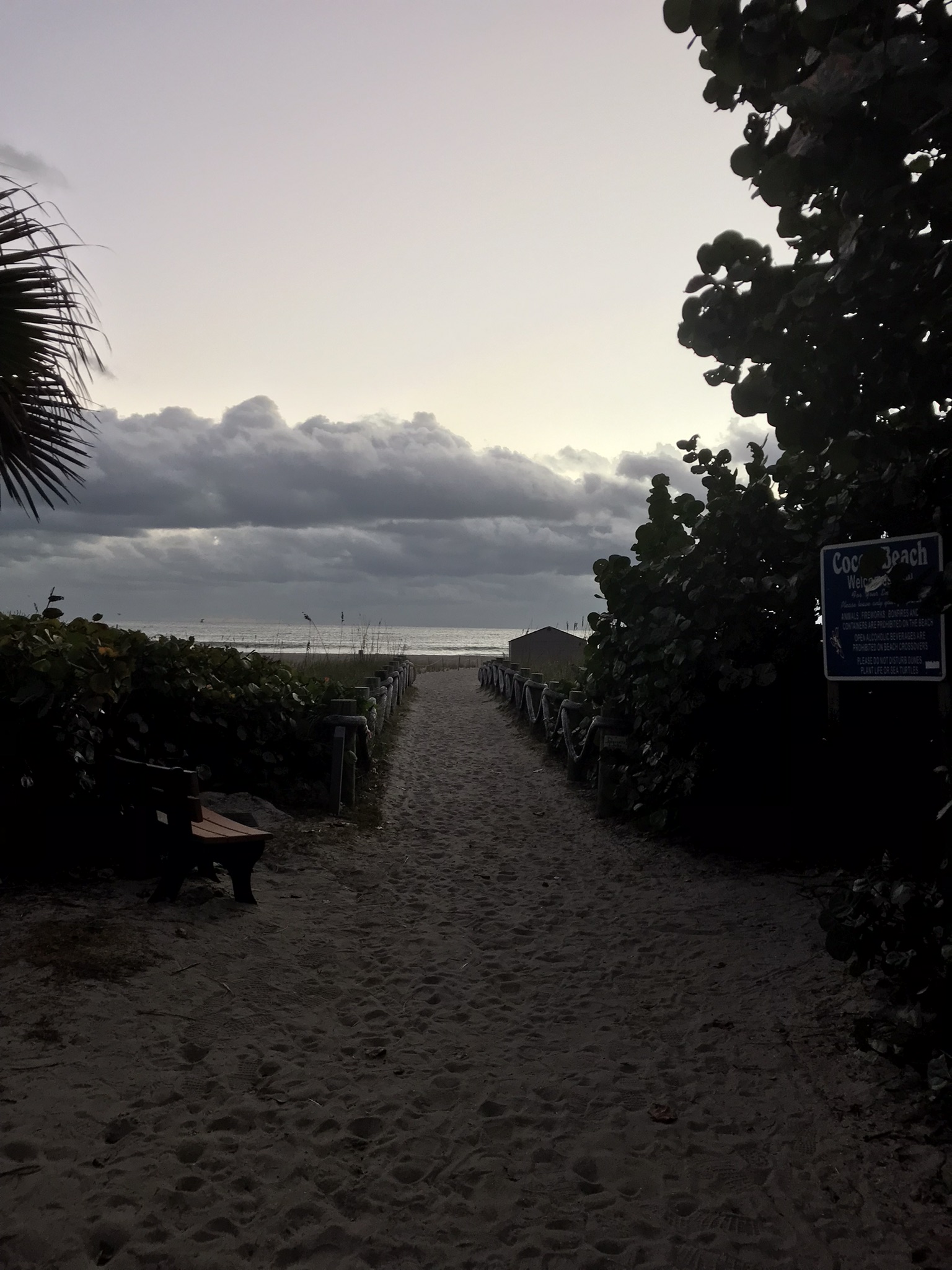
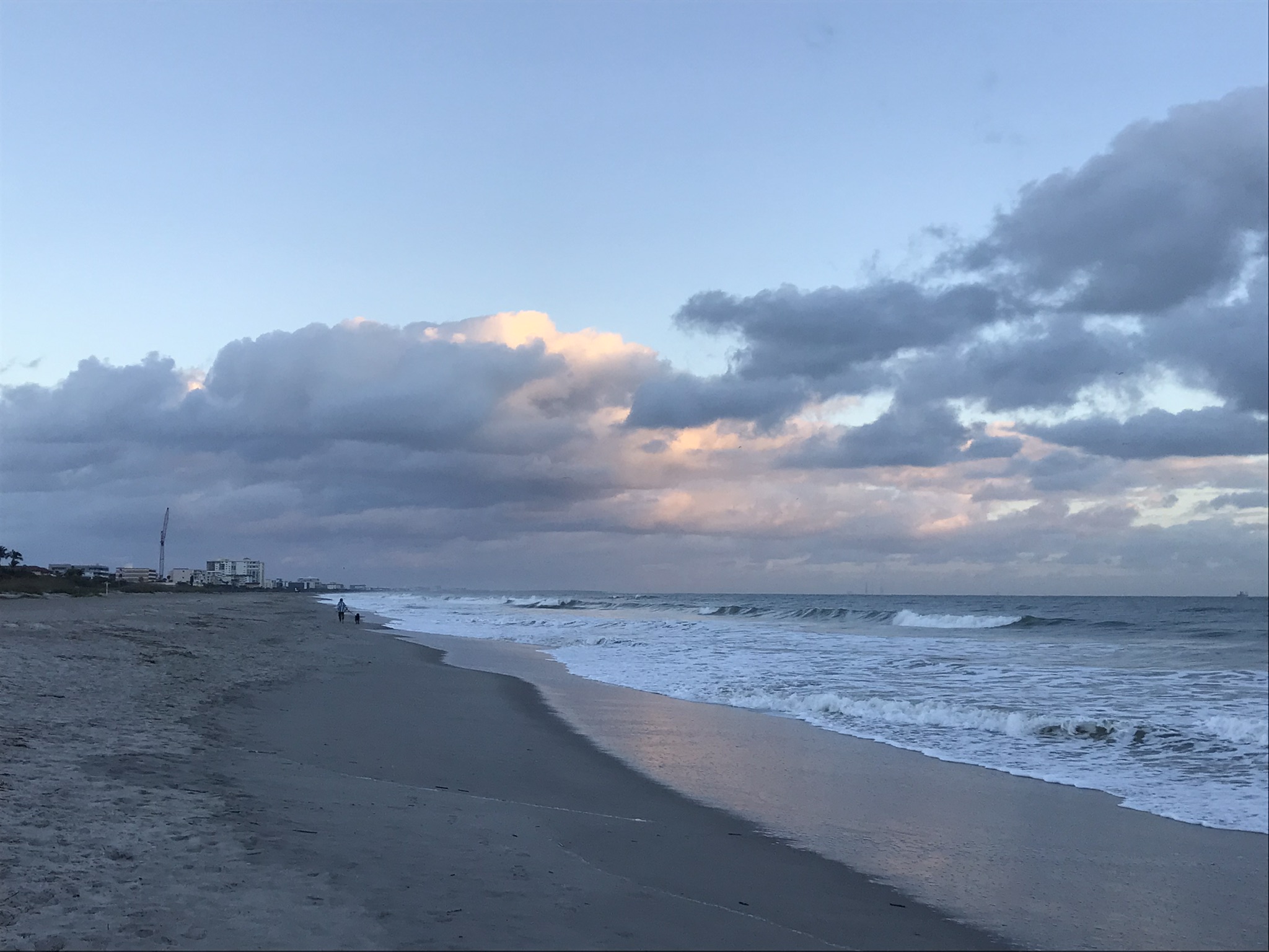
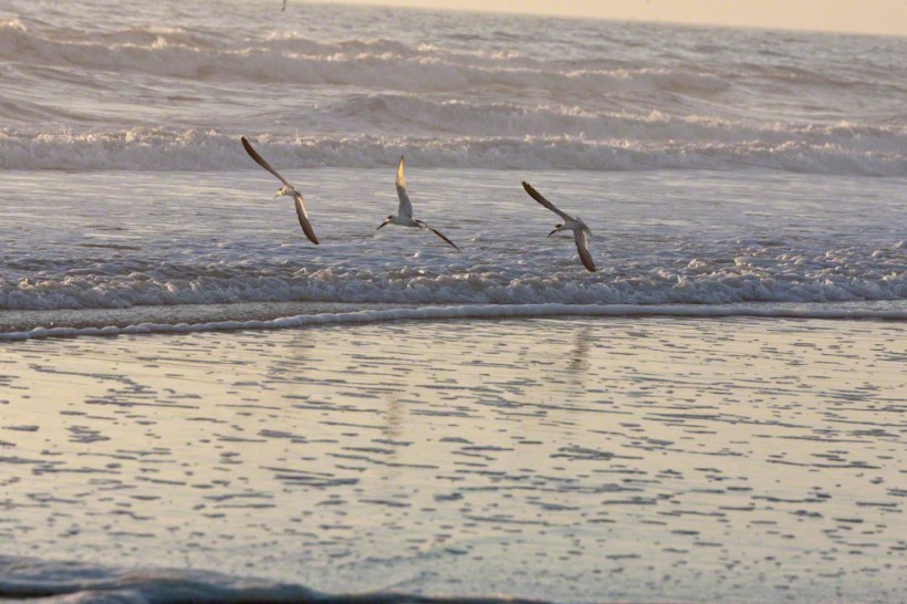
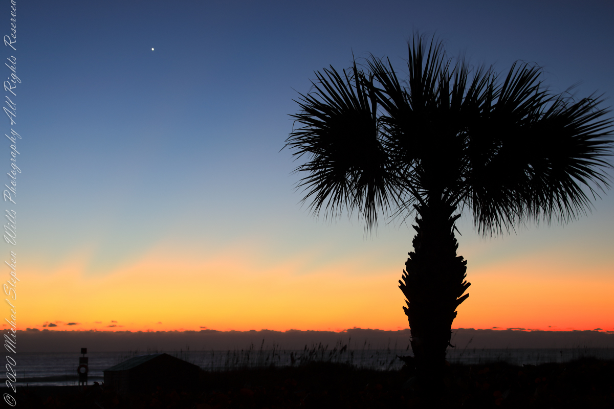
Here is Venus rising from the sea at dawn January 2022, at its brightest and most beautiful. Some mistake this new light in the east for airplane lights; the bright disk of Venus is 25 times brighter than Sirius, enough to cast shadows at night. As Venus proceeds in its orbit, the planet alternately sets after the sun and rises before it, seemingly appearing new each time.

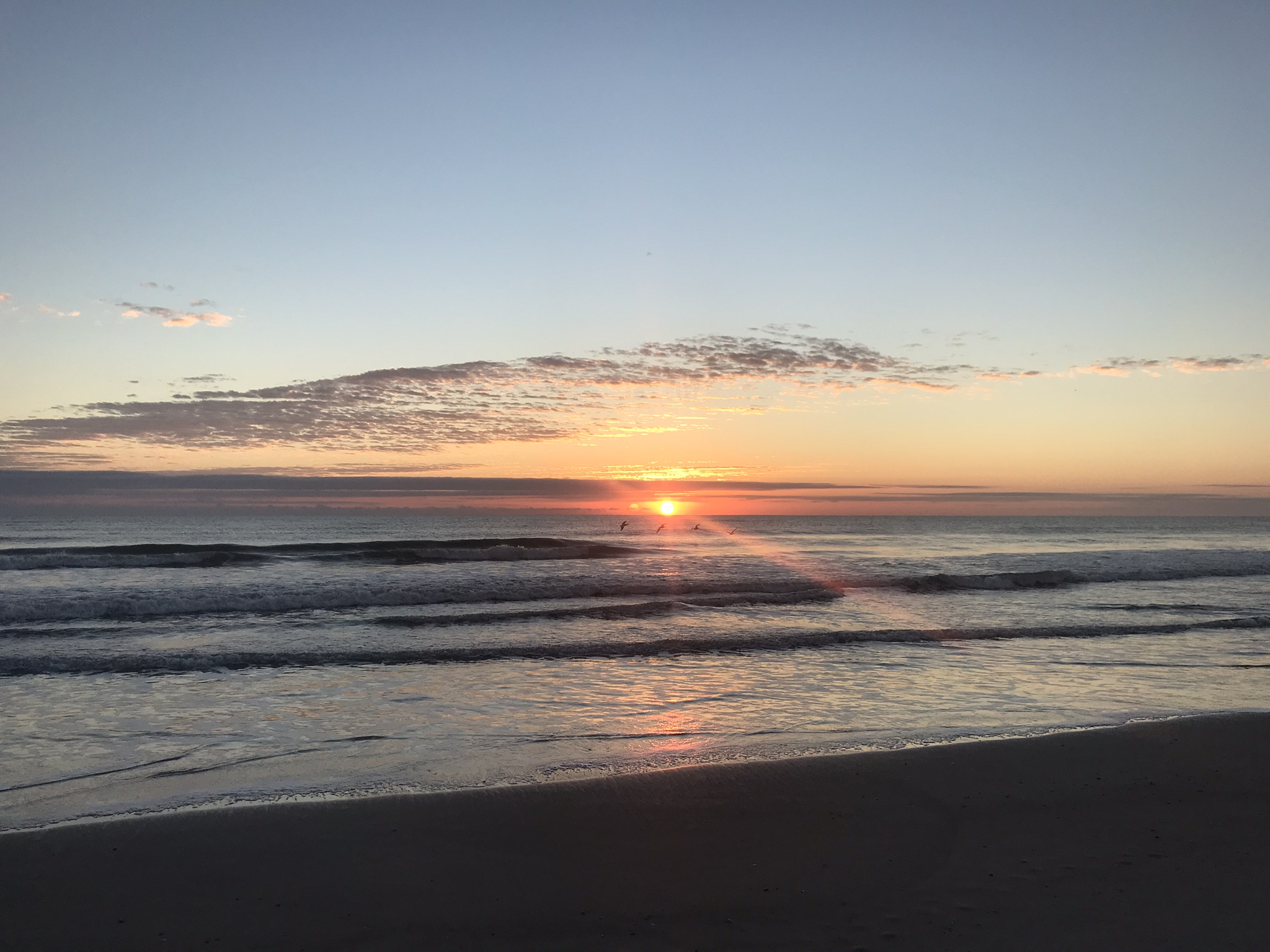
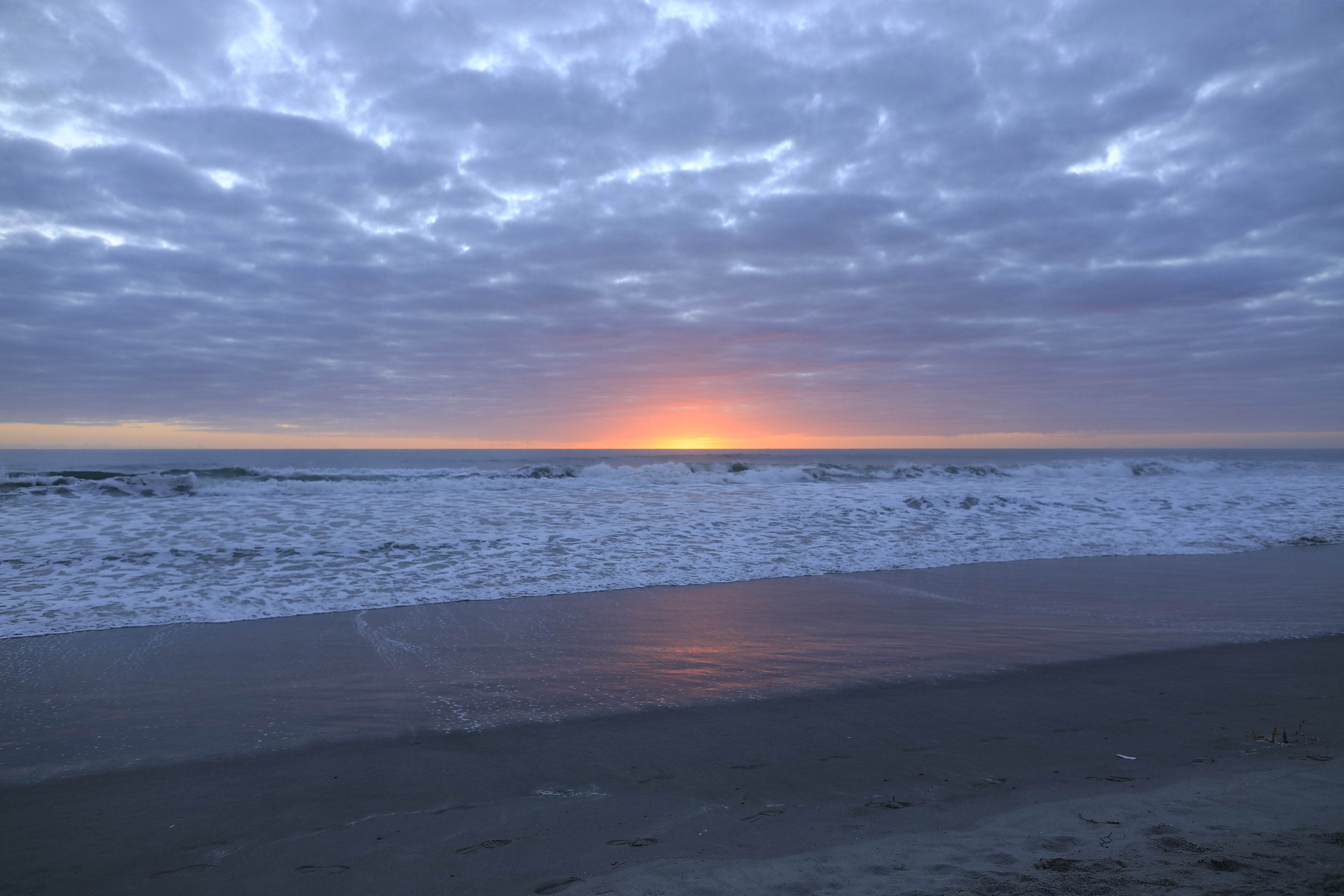
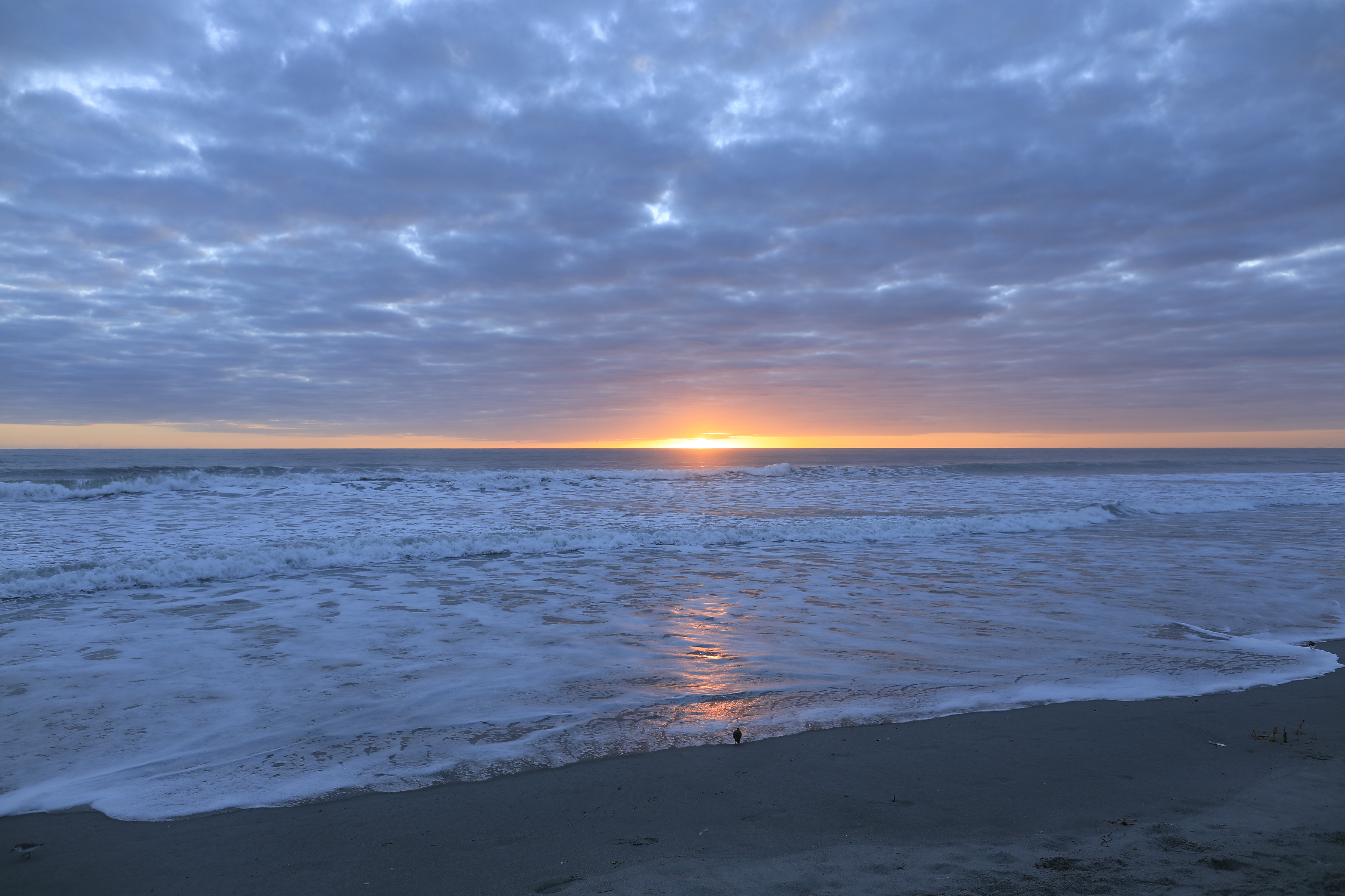
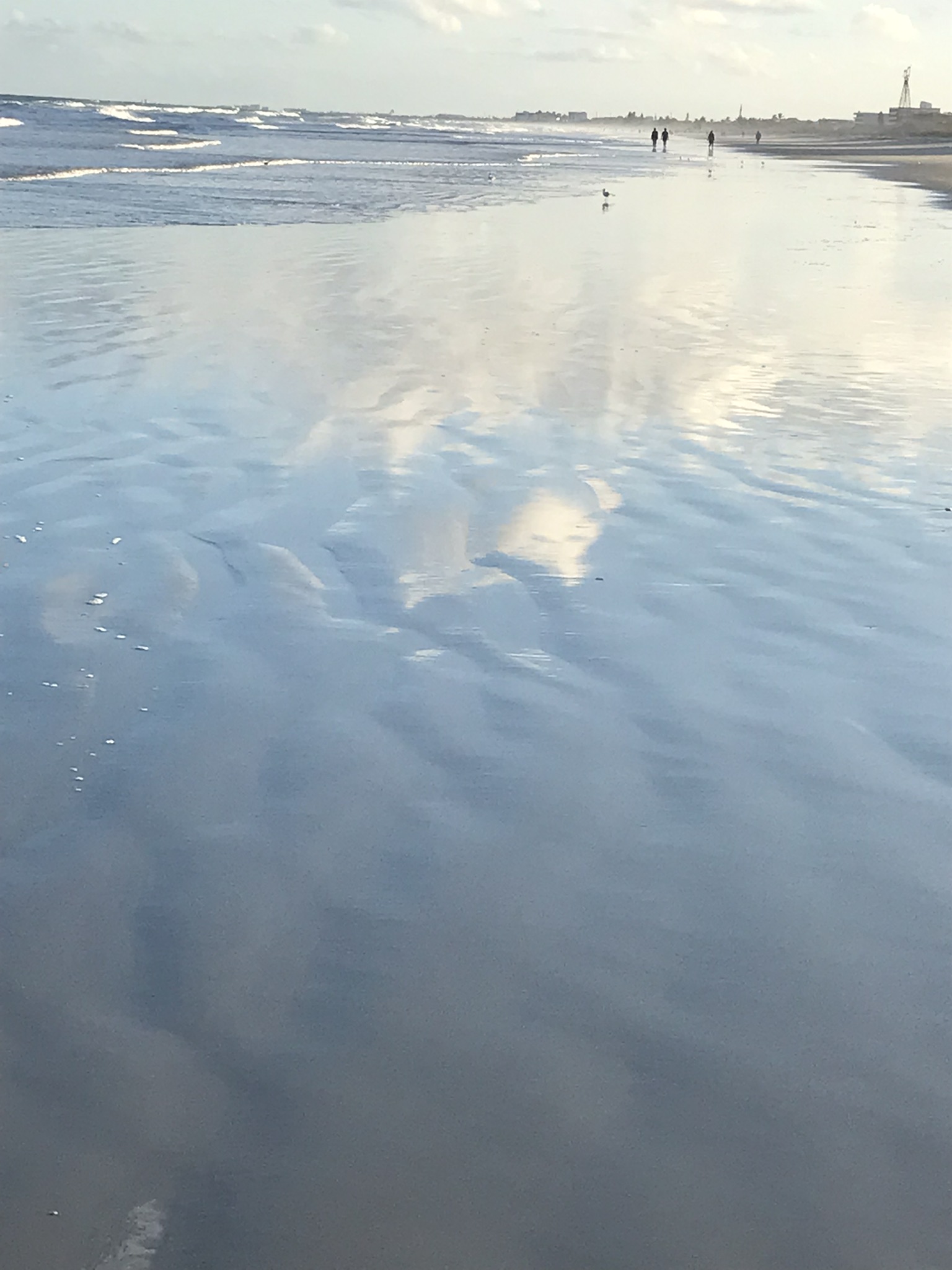
This February I caught a newly risen Venus in this IPhone 7 video, reflected in the waves. It seemed to be a flashing headlight on the beach, the Venus reflection came and went with the passing waves. Venus is the upper, the reflection is beneath. Use the lower right control for the full view.

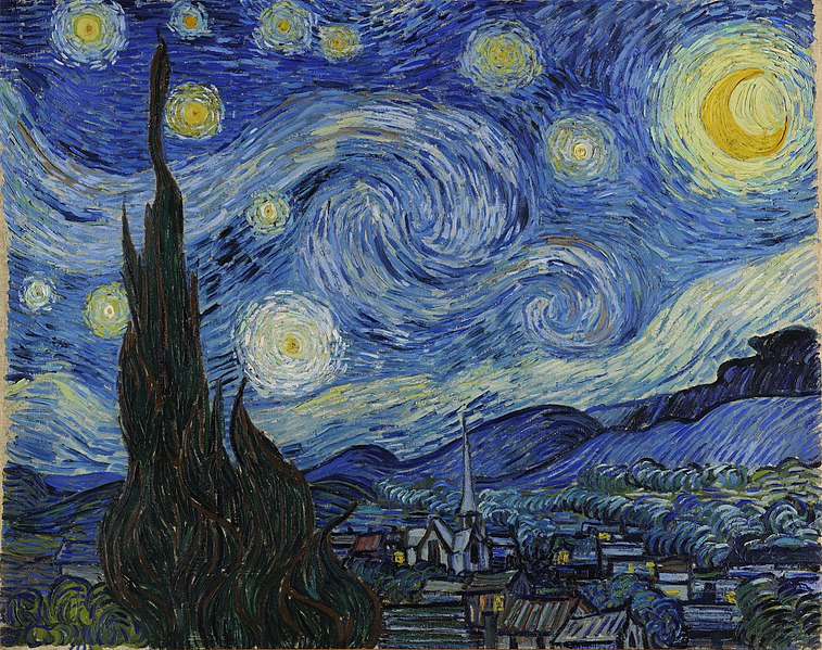
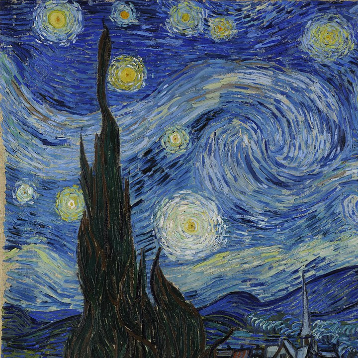
Looking from his window June 1889, Vincent VanGogh included Venus in his “Starry Night” painting, seen to the right of the Cypress tree.

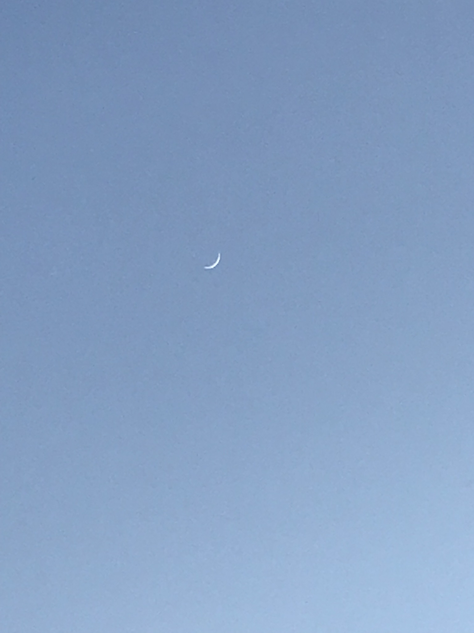
Here is a closer view of Venus last January, the planet disk is apparent, unlike even the closest stars, Venus is seen as a whole object. Click on image for a full view.
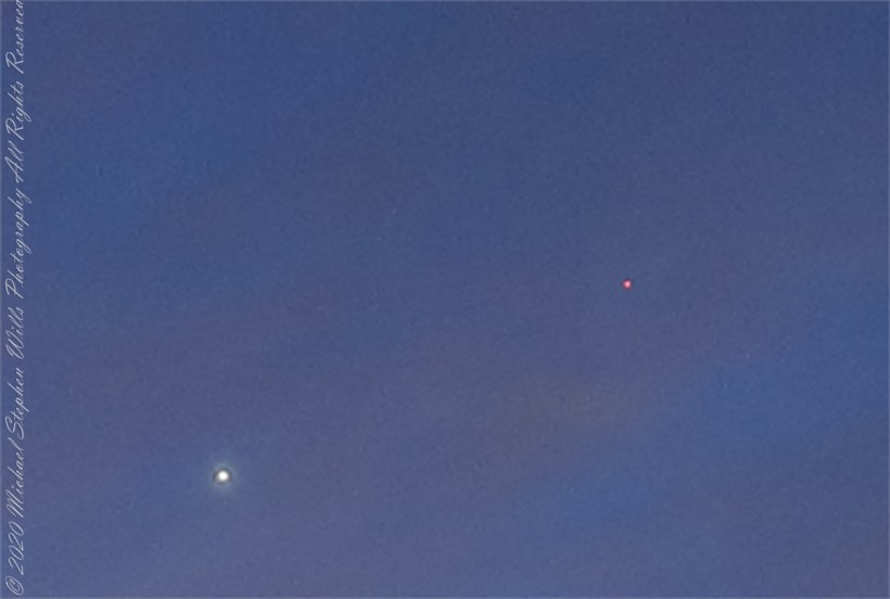
Venus and Mars

Venus and Mars shared 2022’s pre-dawn winter sky. Click on the first image for a full-size view. Mars is seen above the palm tree stump, on the right. In this photograph, from early February, Venus and Mar apparently moved closer. The closeness is an illusion, the planets are millions of miles apart, on either side of Earth’s orbit. Click on the photograph for a full-size view, Mars can just be made out to the right and above Venus.

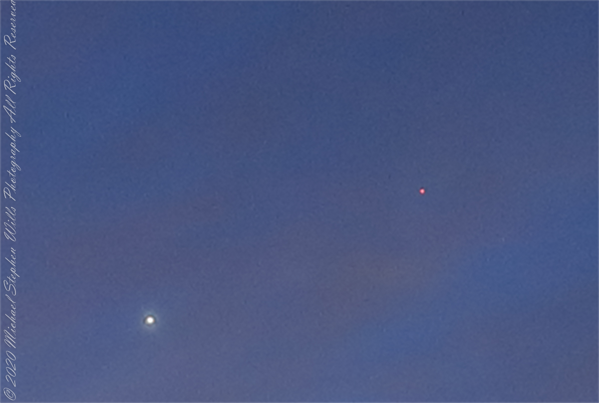
This crop clearly shows the brightness of Venus compared to Mars.

Launch!

Another day, Cocoa Beach, Florida

Pre-dawn sky
Just Before Dawn
Rising Sun
Sunrise Surf
Motorized Boarder

beachcomber who told us of a rocket launch scheduled for just before sunset. Sure enough, here it is.

Rocket Launch

Sunrise and More

Another day, Cocoa Beach, Florida

Click this link for any photograph to visit my Florida Fine Art Photography Gallery.

Canon dslr photographs

First Day

Cocoa Beach, Florida

Click this link for any photograph to visit my Florida Fine Art Photography Gallery.

IPhone 7 photographs and videos

Sunrise
Sunrise Scan
Morning Surf
Willet Feeding
Kite Boarding
Rippling Surf Wash

Offering of Black Skimmer Photographs

Looking for the perfect photo for your web site and blog?

Looking for the perfect photo for your web site and blog?

Browse my reasonably priced stock photography.

License the photo, download and use it.

Click this link for my recently published Black Skimmers Feeding photographs. This link will open a new page to display my Black Skimmer photographs on Getty IStock.

These are different and higher quality images from my posting of earlier this week.

Or

Click this link to browse all my Getty IStock Photography offerings.

Copyright 2018 Michael Stephen Wills All Rights Reserved

An Afternoon’s Exercise Around Taughannock Gorge

Yesterday afternoon was bright, sunny enough for me to break out of the winter exercise routine for a walk around Taughannock Falls, a New York State Park 7.5 miles from the front door through farmland and small villages with views of Cayuga Lake.

The route around the gorge, following the North and South Rim trails with a side trip to the edge of Cayuga Lake is 3 miles with a modest elevation change of about 500 feet.

My route began at the top with a cell phone, from the Falls Overlook, there is a gradual slope, until the end where flights of steep stone steps end at the gorge floor. The steps were free of ice and snow.

These photographs are from the cell phone. Here is the lake and a portion of the gorge. Yes, the lake is a dark blue on sunny days and is ice free this year. Another trail follows the gorge floor to below the falls, I opted out of the additional 1.5 miles today in the interest of finishing well before sunset.

Click any photograph to visit my Fine Art version of Taughannock Falls.

Taughannock Gorge and Cayuga Lake from the North Rim Trail – CLICK ME for my Fine Art version of Taughannock Falls.

I have a few versions of these South Rim Trail stone steps taken at this perfect time of day, the low sun through the trees. Built in the 1930s by Roosevelt’s Civilian Conservation Corp, the steps and the entire trail are a work of art.

Climbing up from the gorge to the South Rim Trail – CLICK ME for my Fine Art version of Taughannock Falls.

The far view of Taughannock Falls always fascinated me. I’ve never done it justice. There are several view points from the South Rim, overlooking the gorge were it bends to the south with only the upper third of the falls visible. The flow today was photogenic. I used the cell phone zoom to catch the view between the trunks of two trees.

View of the falls from the South Rim – CLICK ME for my Fine Art version of Taughannock Falls.

The top of the south rim was the only ice. It is there through April some years. Here is the closest, full view of Taughannock Falls from the North Rim. It is the same view you will find in my Fine Art version of the falls.

View of the falls from the North Rim – CLICK ME for the Fine Art version of Taughannock Falls.

And a cell phone video of the falls for the full effect.

Enjoy!!

Island Romance

Happy Valentine’s Day with the original Moby Dick

Thinking about the Aran Islands for my posts, “Killeany Bouy” and “Inisheer Welcomes the 2014 Gaeltacht Irish Football champions” brought me back to Isla Mocha.

Herman Melville’s thoughts were in and around this island off the central Chilean coast when he penned “Moby Dick” in the mid-nineteenth century while sitting in the city of Boston.  He was brought Moby Dick not only by his own experiences on a whaling ship, almost certainly Melville owned a copy of Jeremiah N. Reynolds’ “Mocha Dick: Or The White Whale of the Pacific: A Leaf from a Manuscript Journal,” an true-life account of adventures around Isla Mocha.  Sometime around 1810 Reynolds personally experienced encounters with Mocha Dick after the crew of an Antarctic expedition mutinied, stranding him at Valparaíso, Chile where he remained for two years.

Located  38°21’45.62″S,  73°55’6.91″W, around 8 miles in size north to south, 3.5 miles east to west Isla Mocha is surprisingly simple to find.  A ridge of mountains run the north south axis, just 20 miles off the coast, a ship following the coast will find it easily, as I did from the balcony of the Oceania Regatta during a “sea day” of travel between Valparaiso and Puerto Montt.

MochaIslandGoogleMpasNarrow

Since waking that day I was on the lookout for Isla Mocha.  In preparation for our month-long cruise around South America every mile of our itinerary was scoured for interesting sights, experiences and information.  When I first learned of Isla Mocha (Mocha Island in English) and the connection with Melville reading about it in Boston, just as I was in Ithaca, one of my goals for that day was to catch sight of Isla Mocha as it rose from the horizon.

My goal was made easier for the cloud formation from the island mountains.  Here is my first photograph, taken from our balcony on the port side.  I chose the port side just for the landward view as the ship progressed southward on the western coast of South America.  The Canon EOS-1Ds Mark III was tripod mounted with an EF 70-300 f4-5.6L variable lens set to 70 mm.  We are northwest of the island with the coast just visible.

Isla Mocha First Sighting

Another view with 188 mm focal length.  The ship must have turned eastward, as the view progressed the island came closer.  It was a fantastic thought to cruise above the subduction zone where the Nazca plate dives beneath the South American Plate.  In the distance, on a clear day, the volcanic cones Villarrea and Quertrupillan are visible.

RomanceOfIslandsMochaIsland2016-2

With the island due east, only a few miles away, the lens at 221 mm focal length.  A fisherman is having an easier day in a calm sea.  The indigenous people told stories of the souls of the dead travelling west to Isla Mocha.  Pirates used the island as a resupply base.  The fishing boat was the only sign of life.

RomanceOfIslandsMochaIsland2016-3

That was February 14th Valentine’s Day.  With Isla Mocha passing into the distance I changed for an evening with Pam.  Here we are headed to dinner, somewhere off the coast of Chile’s Lakes (and volcano) region.

Valentines Day 2016

White House Overlook

Thunderhead and Red Rock

Whitehouse Overlook At Sunset
The Whitehouse Ruin of Canyon de Chelly is just visible at left in the far cliff, in the notch of the near cliff. The ruin trail is visible on the canyon floor. Notice the road following the canyon and the plantings with house on the right.

The landscapes I capture, like the face of a missing friend, fade gently from memory. My piece “Moon Fin Canyon de Chelly” became a mysterious vision. I remembered the context, the canyon topology was lost until I constructed the panorama, above, from three shots taken one evening, July 2008, from a cliff near the White House Overlook. Five years after my visit with Sean Wills, Pam and I returned to Canyon de Chelly to walk the same path.

At that time, a 50 mm lens was my widest angle, so I would take multiple images in sequence and use Photoshop later to construct a panorama. This past Sunday afternoon I spent stitching together my work from 2008.  In doing so I see “my fin”, in the center, bordered by the canyon road, is attached to the White House Ruin cliff via a thin ridge.

During that session a photogenic thunderhead, lit by the evening, hovered behind the fin as the gibbous moon did that long ago evening.

Click to visit Rock Fin with Thunderhead in my OnLine Gallery

Rock Fin and Thunderhead

Valparaiso Connections V

A Deeper Understanding

Monuments Then and Now

Trundled along within our bubble, the Mercedes tour bus proceeded up Avenue Montt when Ricardo pointed out this statue for ridicule.  A depiction of the Chilean national bird, the Condor, porteños derisively call it “The Chicken,” and in truth the wingspan is undersized.  From the vantage of the above photograph, the statue form does capture an impression of soaring among the hills of Valparaiso.  Keep in mind, beyond those hills is Aconcagua, the highest mountain of the western hemisphere, home to Condors.  

A reason for writing multiple Varparaiso “connection” posts is to better understand the jumbled impressions from that day.  In a previous post I coined the term Varparasians for natives of the city.    I found in researching this post the residents, as for Buenos Aires, call themselves porteños (people of the port).  This cast iron statue speaks to the contributions of French immigrants to the city and nation.

Gift of the French Colony for the Centennial of Chile – Valparaíso, 1810 – 1910.

Here the view is south towards (what I believe is) Cerro Florida (Florida Hill).  France Avenue continues, beyond the monument, following a steep and winding path up the hills, at the crest intersecting with German Avenue.  Adjacent, on the right, is Park Italia where we’ll visit in part VI.  Above a cast iron basin, at each corner of the commemorative column base is a female mask, above them a gold band inscribed (from the) “The French of Valparaiso” with 1810 – 1910 to denote the centennial.  A condor with outspread wings surmounts the column.

The artist, Nicanor Plaza, born in Santiago, Chile was living in Florence, Italy at the time of this commission.  He was a natural choice for the commission.  Trained in Chile and Paris, Plaza taught for the Academy of Fine Arts of Santiago.  It is of cast iron, produced by the French company Val Osne, an art foundry dating back to 1835.  The owner, Jean Pierre Andre Victor, invented a cast iron ornamental technique originally used to produce street furniture.  

 From 1854 to 1895 immigration from France burgeoned, from a country total of 1,654 to 8,266.  This cohort is credited with developing the vineyards of the Central Valley, still famous today.  The Chilean president Augusto Pinochet descended on his father’s side from an 18th-century French Breton immigrant from Lamballe and his mother was a descendant from 17th century immigrants, partially Basque.  Pinochet’s legacy can only be attributed to himself and the ruling Junta.  What is of concern is (1) Pinochet was protected against prosecution throughout his life. (2)  The same people who protected him still hold power.  A case in point is the Esmeralda, still in service.

The Naval Training Vessel Esmeralda

 I took this photograph at dawn from our stateroom balcony, it is the
Esmeralda, a four-masted  top sail schooner, from Spain, christened May 12, 1953.  From 1973 to 1980 it was a floating torture chamber where up to 100 persons were subjected to hideous treatment by the Pinochet regime.  Protests erupt wherever it docks in a foreign port yet it remains in service.  A relatively small part of the puzzle, yet it serves as an unacknowledged monument to the failure of Chile’s ruling elite to come to terms with the recent past.

Click for my Fine Art Gallery.

Valparaiso Connections IV

The O’Higgins Carrera Feud

“Valparaiso Connections III” brought us to Pedro Montt Avenue and the building of this imposing façade, Congreso Nacional de Chile (National Congress of Chile).  The very fact it is in Valparaiso is a recollection of the former National Congress, disbanded by the ruling Junta on September 13, 1973.  During the final years the Pinochet dictatorship chose Valparaiso for the site of a new congress building.  The former National Congress building still stands in Santiago, now housing the offices of both houses of congress.

I am fascinated the façade is shared by two founding fathers of Chile, Bernardo O’Higgins and José Miguel Carrera.  O’Higgins father never married his mother (in other words, Bernardo was a bastard).  Cared for by his mother’s privileged family, he used his mother’s family name until the death of his father.  Carrera, was also born of privilege, the acknowledge son of his father who attended the best schools, well positioned to lead the movement for Chilean independence.  Benefactors looked after O’Higgins, they sent the seventeen year old to Europe to finish his education.

In the chaos of war, in spite of ill-health and lack of military training, O’Higgins out performed Carrera as an officer through reckless bravery; surviving, he became an admired military leader through this example and ultimate victories. Carrera resented being overtaken (by a bastard), did not respect O’Higgins leadership and the two feuded. O’Higgins became the first head of the independent Chile while Carrera gathered a force.  Exiled in Paraguay, Carrera marched across the intervening wastes battling indigenous forces.  Eventually captured by those loyal to O’Higgins, Carrera suffered a mock trial and execution.

All five of Carrera’s legitimate offspring married and prospered, today his descendants number in the hundreds, being the majority of Chile’s ruling class.  Today, the followers of Carrera (Carreristas) fight for his recognition against the O’Higginistas, who they despise.  The balance is on display on the National Congress façade on Pedro Montt Avenue.  The building is next to Plaza O’Higgins.

Measured by acreage, O’Higgins is far ahead of Carrera.  The following photograph, from my posting “A Far Country VII: View of Tempanos Fjord” is from within Bernardo O’Higgins National Park, the largest protected land in Chile.

A large lake in Patagonia is named after General Carrera.