My previous post, “Dry Juniper Descent” had me above the ridge of the featured photograph.
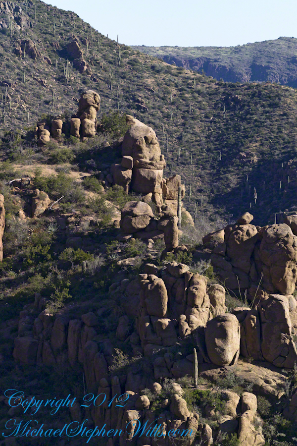
I interrupted my descent to Reavis Falls to stop on a ridge overlooking Reavis Creek, the same ridge that forms the western wall of the canyon. By this time it was late afternoon on a March Day with the angle of the sun being perfect for capturing rock formations. Notice the effect of the light on the distant mountains.
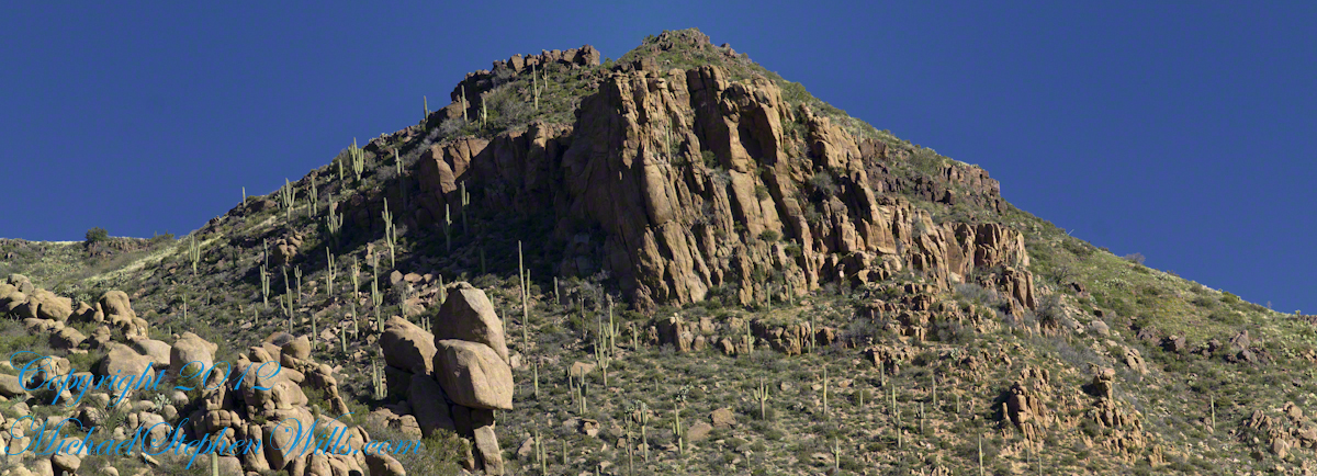
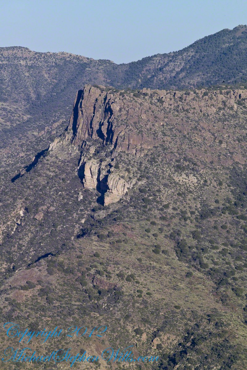
This is the North / Northeast view of the opposite ridge above a flow from multiple springs on Lime Mountain.
This photograph was created from multiple images using tripod-mounted Kodak DCS ProSlr/c with a 50mm, 1.4 Canon lens.
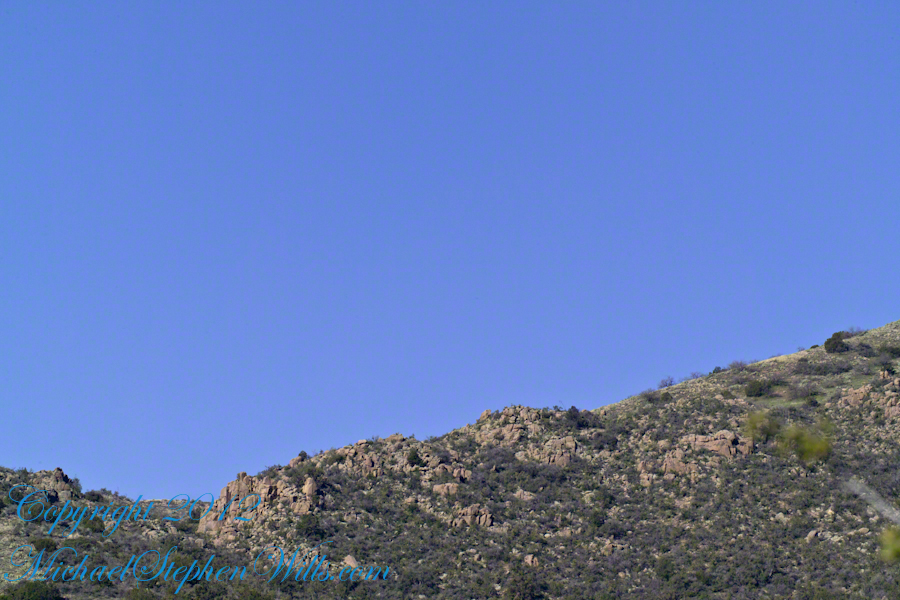
Cedar Basin hoodoos on the slopes of Lime Mountain
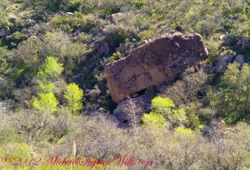
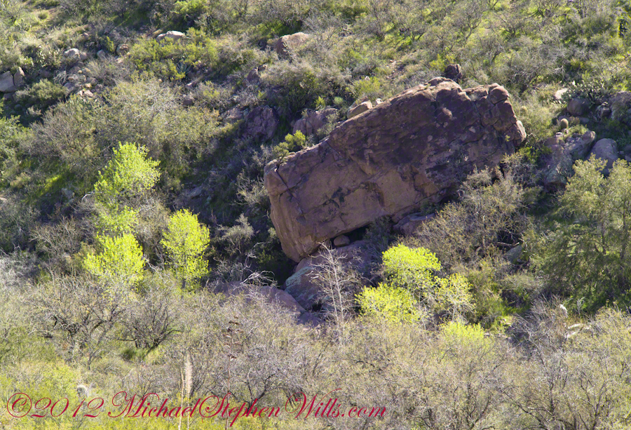
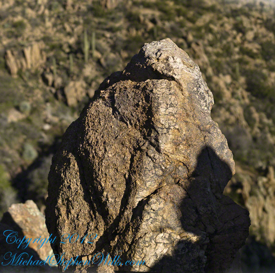
The ridge and slopes are covered with a rock formation named Hoodoos for the fantastic shapes taken on by layers of stone weathered over eons by water, wind, sun and cold. These hoodoos are enormous, some precisely balanced and carved into elaborate shapes. The word “Hoodoo” derives from the name of the practice of sorcery or folk magic. You can image the effect on ancient people of coming upon these formations and believing them created by malevolent beings (djinns, goblins, demons) in their leisure time, when not causing problems, and worse, for humans. These beings are especially active in desert places, such as this, which has the comforting name of Cedar Basin.
The hoodoos cast a spell on me. I had never heard of Cedar Basin, but knew, as the sun was low in the west, I needed to unload my 70 pound pack, set up the tripod and camera to spend over an hour of precious time to capture the images of this blog.
Ancient Village
Cedar Basin forms on one side from the ridge of this photograph. On the other side of the ridge, the mountain slope levels out to a site settled by ancient people we call Sin Agua. There is nothing but a few stones left of their village and way of life.
Cedar Basin
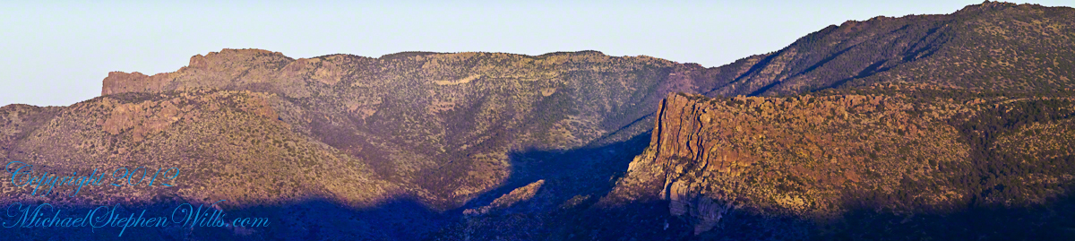
Looking to the left of the Hoodoo Panorama photograph and into Cedar Basin, you see more of that same rock type that formed the hoodoos to the right on this same ridge. This is also the lower slopes of Lime Mountain, as you can see from the color of the upper ridge.
The Slopes of Cedar Basin
This and the following photographs were created using a tripod-mounted Kodak DCS ProSlr/c with a 200mm, 1.4 Canon L type lens.
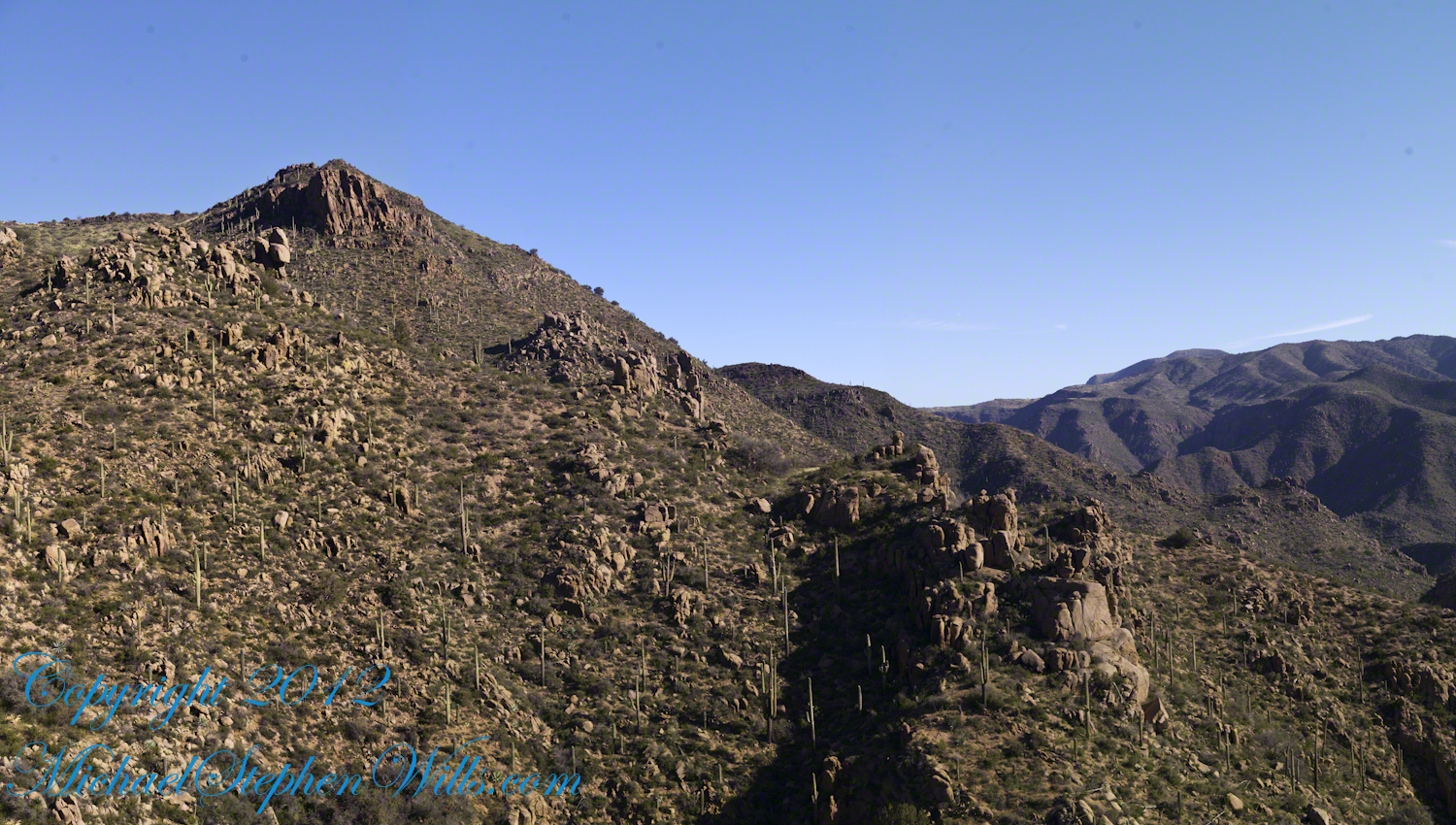
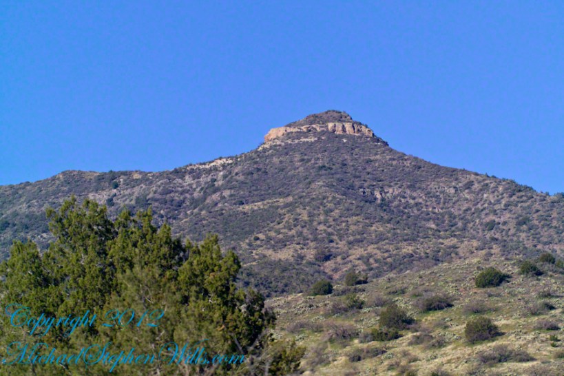
Another side of the basin is formed by the ridge I am on. This side is across from the canyon of Reavis Creek and Falls. The trail leads down switchbacks from the Dry Juniper of my previous post to a dry draw. You can see the way I came in the following two photographs. I captured Castle Dome, then panned to the right for the rest of the ridge. You can see the trail to Reavis Ranch carved into the slopes of Castle Dome.
Castle Dome Ridge and Reavis Ranch Trail
Cedar Basin and Castle Dome
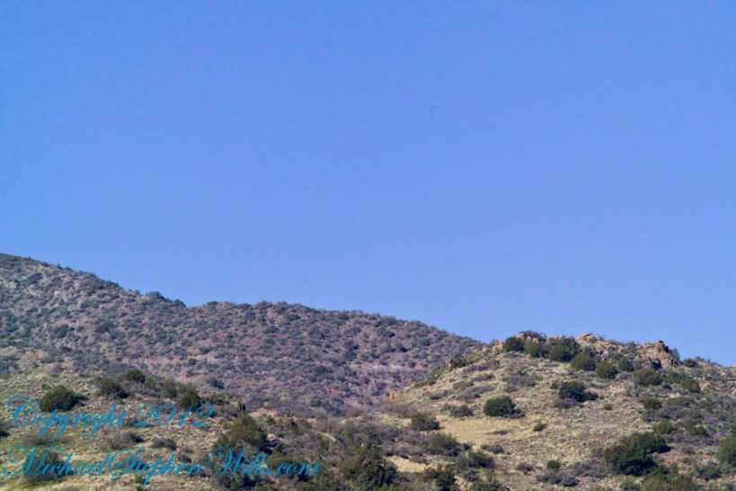
I then panned one more time to the right to capture the ridge above Cedar Basin and the start of the hoodoos. It was an army spread across the entire ridge!!
Cedar Basin and Castle Dome
My next posting will feature close-up of the most interesting hoodoos from the panorama, using a 200 mm telephoto lens.
Copyright 2023 Michael Stephen Wills All Rights Reserved
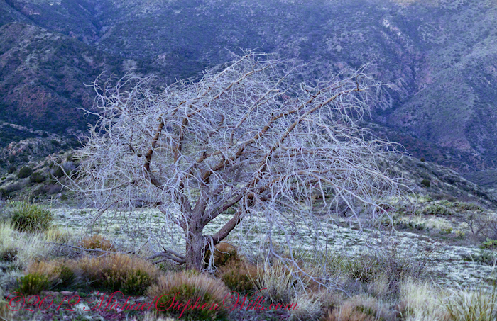
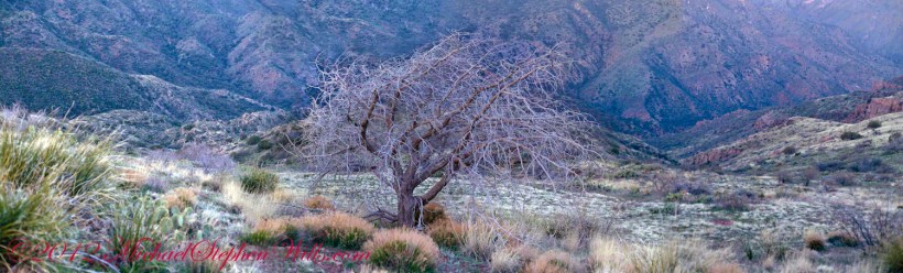
On my fourth morning, after I awoke to am immense silence, my first photography subject was the lone dry juniper you see below.
Then the dawn lit up the far mountains. You can view a larger image these mountains at dawn in my previous blog, “Superstition Wilderness Dawn.”
A Lone Dry Juniper
This is a photograph of that juniper tree, dryer than most, being dead. I take it to be a One-seed Juniper from the thick growth of branches and the strong rounded aspect of the crown. I captured this photograph from a tripod mount using a Kodak DCS slr/c with a Canon EF 50mm f/1.4 USM lens.
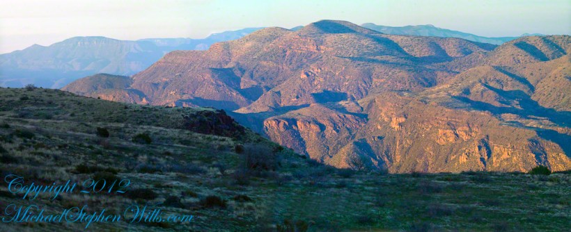
Looking into Reavis Creek Canyon from Lime Mountain
I used the tripod to bracket this shot on the left and right for the following panorama.
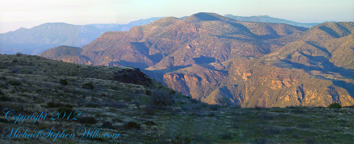
The Reavis Creek Canyon from Lime Mountain while still in shadow, morning
The Spirit of Elisha Reavis
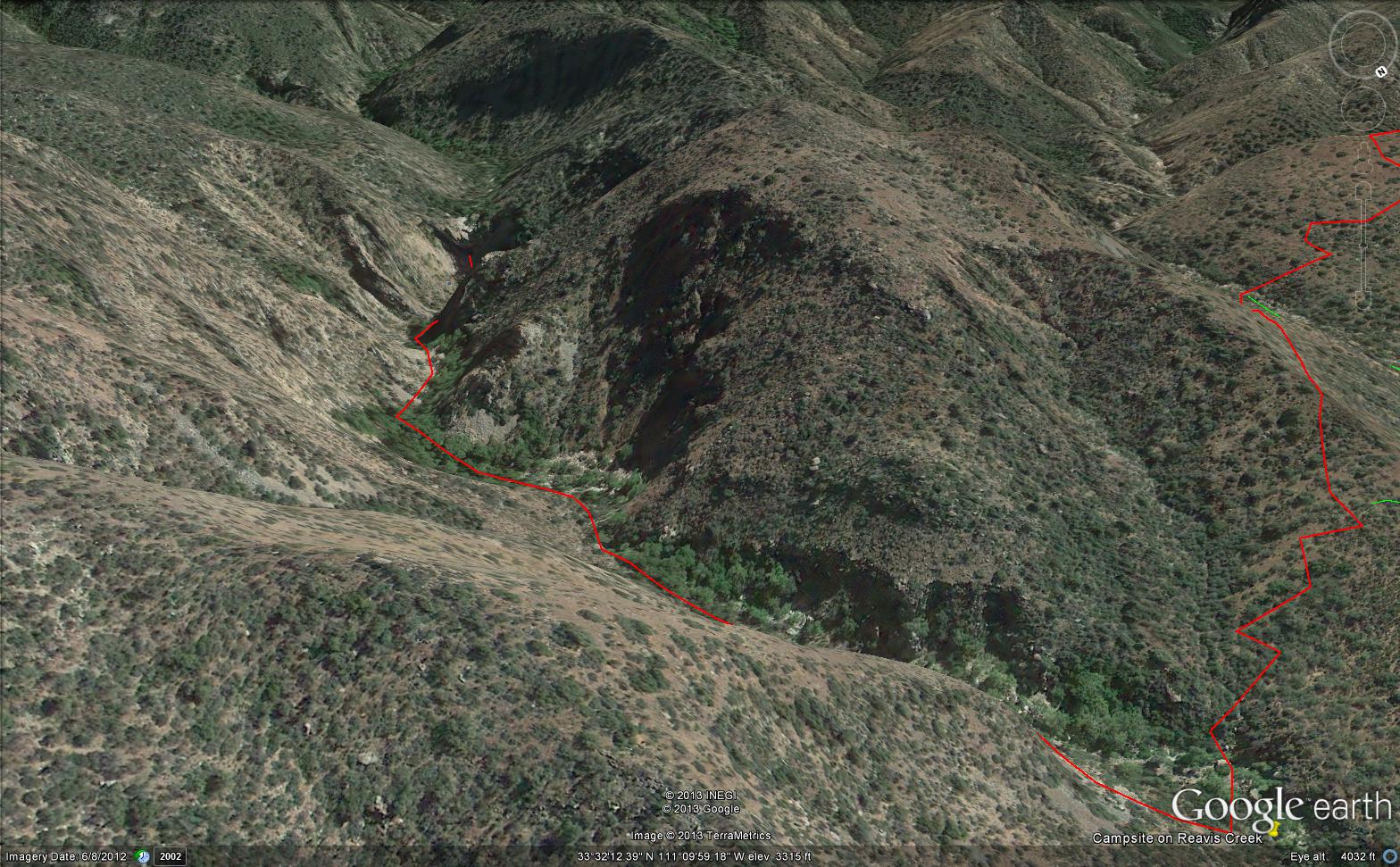
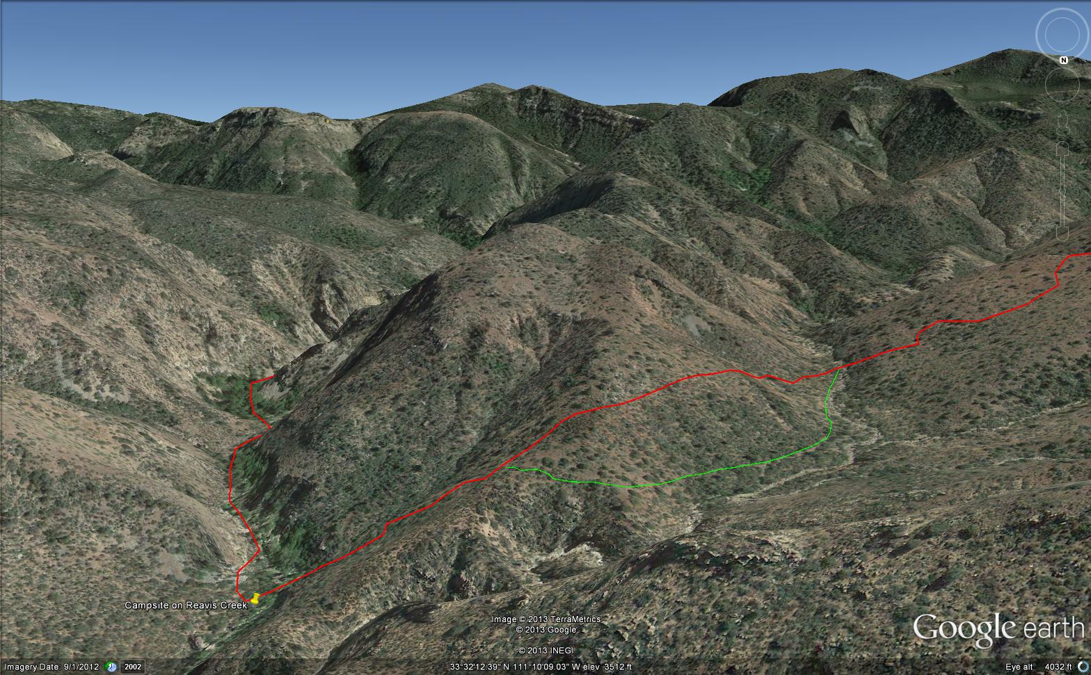
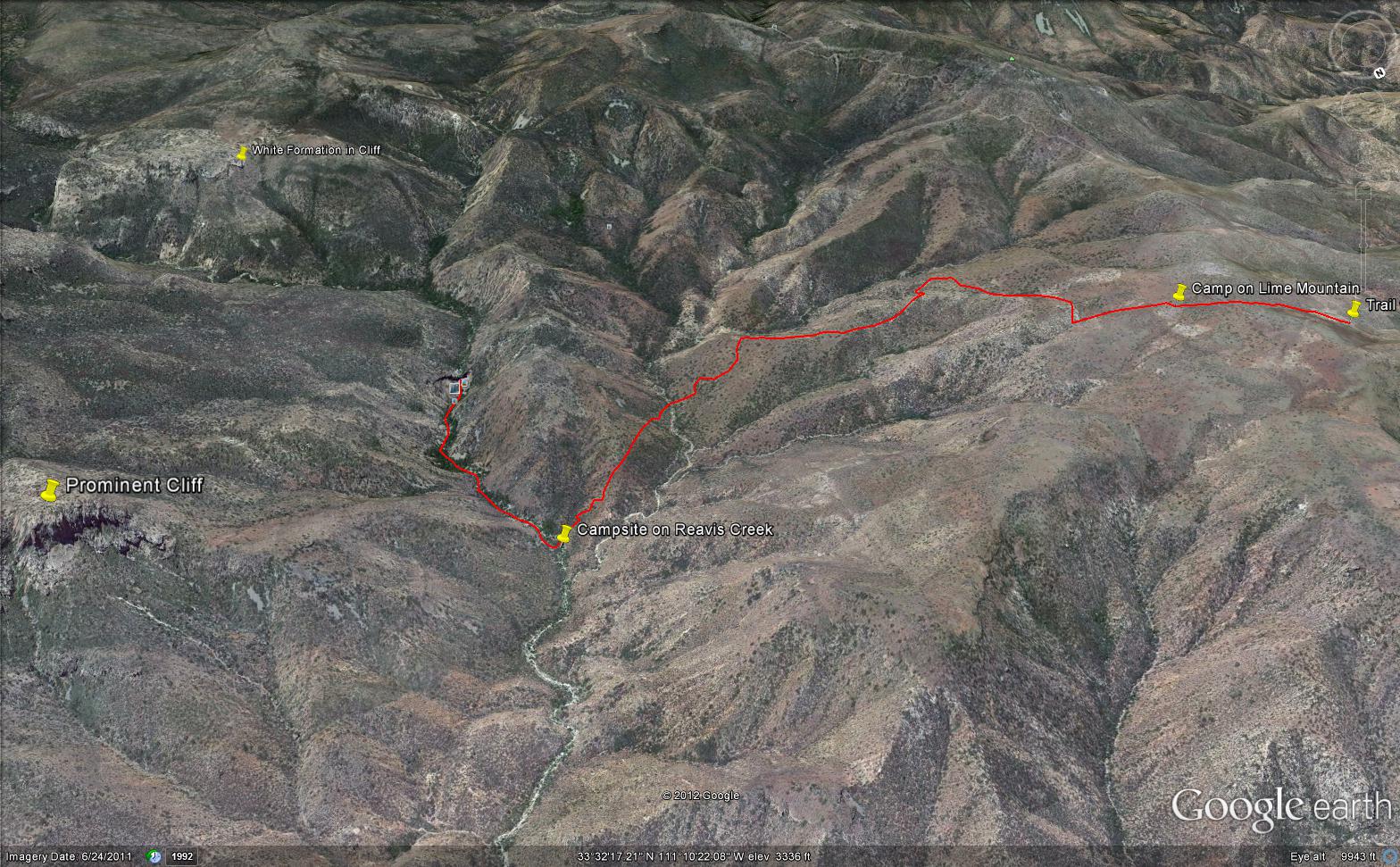
From this vantage you can see my route into Reavis Creek Canyon and Reavis Falls taken on the first afternoon of the expedition. That first morning I loaded up 65 pounds of food, supplies and photography equipment and headed out from the Reavis Trailhead on the Reavis Ranch Trail. This was one of the trailed used by Elisha Reavis to ride a favorite burro and a string of 8 to 15 burros loaded with vegetables he sold to various communities throughout central Arizona. See my blogs “A Ride to Reavis Ranch” and “Apple Orchard in the Wilderness“for views of the paradise (as of the early 21st century) where Elisha Reavis, lived and prospered in the latter part of the 19th century where he lived his 70’s.
This his mountain valley, using a perennial creek, Reavis cultivated and irrigated about fifteen acres of land by himself with chickens, turkeys, hogs, burros, two horses and several dogs. The horses, teamed together, pulled a shear plow, disc and leveler. On April 9, 1896 Reavis was preparing of another trip to Mesa, to buy seed potatoes, and was found by a friend a month later on what is now the Reavis Ranch trail, to the south and west of his valley, near what is now called Grave Canyon were friends buried him.
Past the Dry Juniper and Down
102 years later, I headed up the Reavis Ranch Trail, over the ridge of Lime Mountain and past this dry juniper in the same spirit as Elisha Reavis if for a different purpose.
Pre-dawn on the fourth morning of my solo expedition to Reavis Falls, before the last posting “Among the Desert Wildflowers“, on the slopes of Lime Mountain, as the eastern sky became slightly less dark, I woke to an unusual sensation: total silence. The air was absolutely still, no insects trilled, the birds were still asleep. Lying very still, the ringing of my ears announced the silence.
In that silence I set up for this panorama taken from a tripod-mounted Kodak DCS ProSLR/c mounted with a Canon EF 200mm f/2.8L II USM telephoto lens. It is 5 image files combined. The source file is about 300 MB.
That is Pinyon Mountain in the center distance. The Arizona Trail traverses that terrain, though it is not visible from this distance (it is about 3 miles away).
Lime Mountain is truly a light green, as you can see from the foreground ledge. From there, a cliff runs round where on a south-facing site there are cliff dwelling ruins. The trail to Reavis Falls runs to the right, along a ridge broken by a narrow canyon with access to Cedar Basin, also at the foot of these cliffs.
Copyright 2023 Michael Stephen Wills All Rights Reserved
See Evening on Two Bar Mountain for another chapter of my four-day solo expedition to Reavis Falls in the remote eastern Superstition Wilderness.
Campsite at Morning
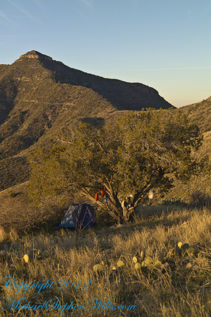
On the late-morning of day three I climbed out of the Reavis Creek valley to camp on the slopes of Lime Mountain. There I watched the afternoon progress to evening, a full moon rise in a bright sky and other events featured in this blog. All around my campsite under a lone juniper the mountain side was blooming.
Grasses, Cacti and Flowers
Among the grasses, cacti and lichen-covered rocks were many small wildflowers. I was careful to avoid damaging them and otherwise enjoyed their beauty and plentiful blooms my entire stay. I capture some of them in the early morning light and spent some time identifying them for you.
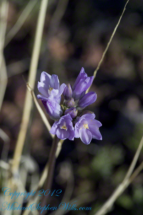
Desert Hyacinth is a perennial lilly (Liliaceae).
It grows from an onion-like bulb used for food by pioneers and Native Americans. This lilly propagates through this bulb and, also, from seed that forms from these flowers.
The umbel-shaped flowers grow in clusters at the end of long, leafless stalks. Each blossom is an inch across and has six segments that are like petals.
Also called Blue Dicks, bluedicks, Papago lily, purplehead, grassnuts, covena, coveria.
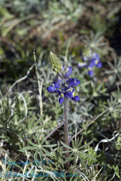
Lupine is a pea, a perennial herb and a favorite of bees. Like other lupines, it improves the soil. Their root nodules, with the aid of certain bacteria, allow lupines and other legumes to absorb free nitrogen from the air.
A member of the Phlox family (Polemonium), this five (5) petal flower bloomed in small groups on erect stalks with sparse leaves. The stamen heads are notable for a bright blue color.
Copyright 2023 Michael Stephen Wills All Rights Reserved
Another blog from my four day solo expedition to Reavis Falls in the remote eastern Superstition Wilderness. Here we will descend briefly to the canyon of Reavis Creek, below the Reavis Falls.
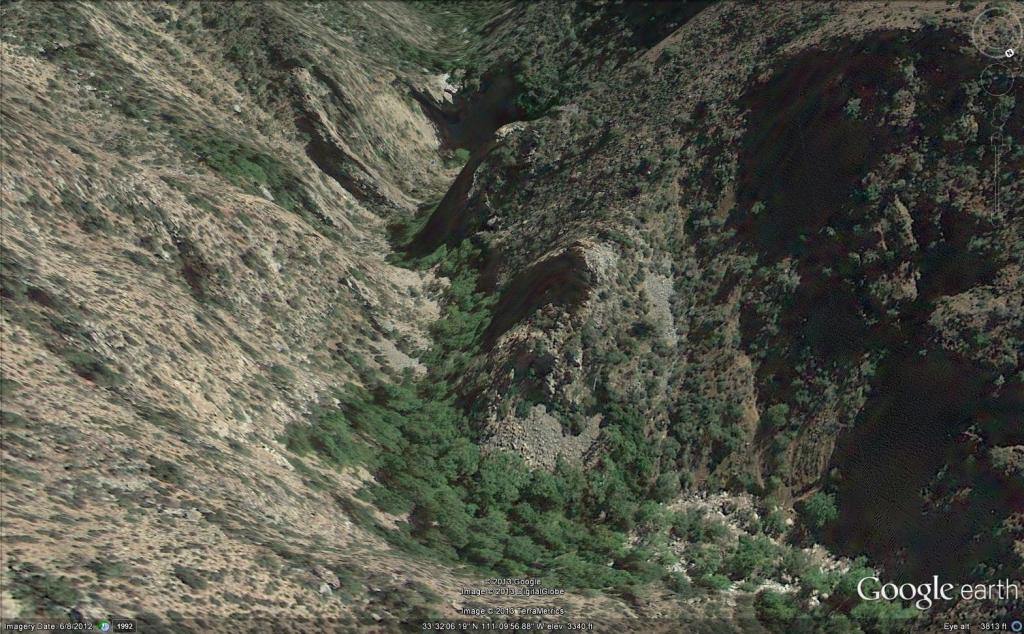
Shadows rising on the canyon walls are from Lime Mountain and Castle Dome. In the far canyon, below Two Bar Mountain, is a shadow from the notable cliff and prominence to the right, that rises above Reavis Falls, fall below and out of sight in the canyon.
Here is that prominence from that same day, late afternoon when the sun is just starting to be low enough to throw the cliff into relief. This is a single shot with a canon 200 mm lens. This day I had climbed out of Reavis Creek, up to to this point on the slopes of Lime Mountain. Here I enjoyed an afternoon, evening, night and early morning of the following day.
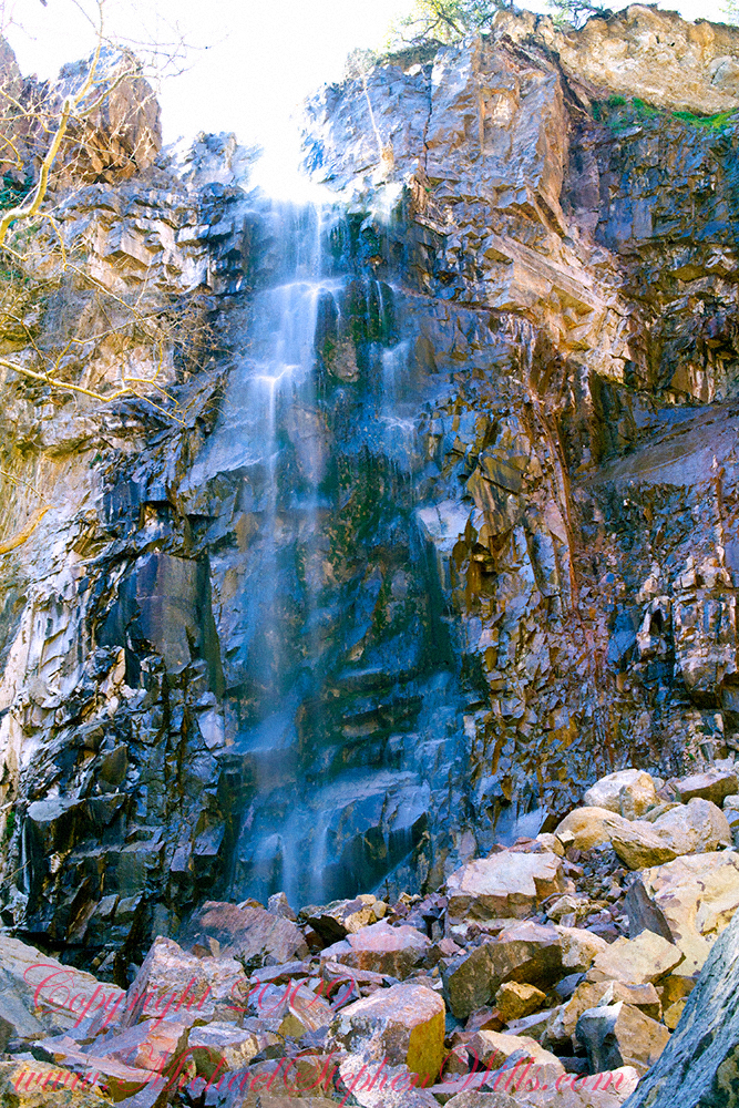
The second day of the solo expedition, I hiked into the canyon of Reavis Falls from a camp at the canyon mouth. Looking up from the creek this same cliff was prominant against the sky.
Copyright 2023 Michael Stephen Wills All Rights Reserved
Two Bar Mountain is only part of this view taken the evening of Day Three, my solo expedition to Reavis Falls in the Superstition Wilderness of Arizona.
The view encompasses most of the four day expedition, being the climb into the lower Reavis Creek Canyon from which I camped. I spent one entire day walking up the valley to the falls.
The patches of yellow on the far slopes to the left and into Reavis Valley are Mexican Poppy (Eschscholtzia californica) blooms.
To find lower Reavis Creek Canyon, look for the prominent cliff formation in the very center of the image. Follow the end of the cliff down to a dark shadow. The western canyon wall creates the heavy shadow. As you move to the right, in the image, the shadow becomes wider because the canyon wall becomes higher.
The view also encompasses a 2005 solo expedition over Two Bar Mountain using the Tule and Two Bar Ridge trails into the Superstition Wilderness around Pine Creek. See my blog “Racing the Sun” for an image Two Bar Mountain with the path of (most of) two days of that expedition.
An interesting feature of the full size image (lost in the small-scale reproduction of this blog) is the host of enormous saguaro cactuses marching up the sides of the canyon to the left, thinning out and ending on the western walls of the canyon (the slope directly beneath my viewpoint). Our course, each cactus is perfectly still, casting a huge shadow, and seems very tiny. The nearest is a mile away. We are seeing in this thinning host the lower Sonoran in transition to the upper Sonoran life zone.
All of this in one view from Lime Mountain. Here is another, taken just as the sun set.
Copyright 2023 Michael Stephen Wills All Rights Reserved
A series of group and individual portraits from the 2013 Dragon Day Parade on the Cornell University Campus. I am happy to report this tradition resumed 2022 after a 2-year pandemic enforced hiatus. This tradition was and is celebrated for over 100 years.
Cake design and production by Grandma for Rory’s Third 3 Birthday. On the lead up to the special day, Grandmother phones Rory to interview him for his birthday cake wishes. Rice Krispy treats drizzled with melted colored chocolate to resemble a coral reef. Chocolate cupcakes with homemade buttercream icing.
This was three years ago at the start of Covid-19 pandemic. We drove up his long, snowy drive way……
Rory, Mom and brother Sam welcomed us.
Pam had Swedish fish and other fixings for Rory to put on the finishing touches.
Copyright 2023 Michael Stephen Wills All Rights Reserved
All photography using the IPhone 14 ProMax triple camera, raw format, edited on the phone.
We find boulders of crystalline rock, commonly derived from Adirondack sources, left behind on the surface of ablation moraine, in the Finger Lakes Region.
Cornell finds some and move them, maybe the case for this unremarked erratic found along the Allen Trail of FR Newman Arboretum.
Another enormous erratic, brought in from the Sixmile Creek valley, was carved into a seat as a memorial to Professor R.S. Tarr who deciphered much of the glacial history of the Finger Lakes Region. Find it at the southwest corner of McCraw Hall on the Cornell University Campus.
History (from wikipedia)
During the 18th century, erratics were deemed a major geological paradox. Geologists identify erratics by studying the rocks surrounding the position of the erratic and the rock of the erratic itself. Erratics were once considered evidence of a biblical flood, but in the 19th century scientists gradually came to accept that erratics pointed to an ice age in Earth’s past. Among others, the Swiss politician, jurist, theologian Bernhard Friedrich Kuhn [de] saw glaciers as a possible solution as early as 1788. However, the idea of ice ages and glaciation as a geological force took a while to be accepted. Ignaz Venetz (1788–1859), a Swiss engineer, naturalist and glaciologist was one of the first scientists to recognize glaciers as a major force in shaping the earth.
In the 19th century, many scientists came to favor erratics as evidence for the end of the Last Glacial Maximum (ice age) 10,000 years ago, rather than a flood. Geologists have suggested that landslides or rockfalls initially dropped the rocks on top of glacial ice. The glaciers continued to move, carrying the rocks with them. When the ice melted, the erratics were left in their present locations.
Charles Lyell’s Principles of Geology (v. 1, 1830) provided an early description of the erratic which is consistent with the modern understanding. Louis Agassiz was the first to scientifically propose that the Earth had been subject to a past ice age. In the same year, he was elected a foreign member of the Royal Swedish Academy of Sciences. Prior to this proposal, Goethe, de Saussure, Venetz, Jean de Charpentier, Karl Friedrich Schimper and others had made the glaciers of the Alps the subjects of special study, and Goethe,[15] Charpentier as well as Schimper had even arrived at the conclusion that the erratic blocks of alpine rocks scattered over the slopes and summits of the Jura Mountains had been moved there by glaciers.
Charles Darwin published extensively on geologic phenomena including the distribution of erratic boulders. In his accounts written during the voyage of HMS Beagle, Darwin observed several large erratic boulders of notable size south of the Strait of Magellan, Tierra del Fuego and attributed them to ice rafting from Antarctica. Recent research suggests that they are more likely the result of glacial ice flows carrying the boulders to their current locations.
References:
“The Finger Lakes Region: Its Origin and Nature,” O.D. von Engeln, Cornell University Press, 1961 page 106.
Wikipedia, “Glacial Erratics”
Copyright 2023 Michael Stephen Wills All Rights Reserved
All photography using the IPhone 14 ProMax triple camera, raw format, edited on the phone.
Betula papyrifera, common names Paper Birch, (American) White Birch, Canoe Birch, is a short-lived species of birch native to northern North America. Paper birch is named for the tree’s thin white bark, which often peels in paper like layers from the trunk. Paper birch is often one of the first species to colonize a burned area within the northern latitudes and is an important species for moose browsing. The primary commercial uses for paper birch wood are boltwood and sawlogs, while secondary products include firewood and pulpwood. It is the provincial tree of Saskatchewan and the state tree of New Hampshire.
As you can see in the following photoghraph, Betula papyrifera is a medium-sized deciduous tree typically reaching 20 meters (66 feet) tall, and exceptionally to 40 m (130 ft) with a trunk up to 75 centimeters (30 inches) in diameter. Within forests, it often grows with a single trunk but when grown as a landscape tree it may develop multiple trunks or branch close to the ground.
Paper birch is a typically short-lived species. It handles heat and humidity poorly and may live only 30 years in zones six and up, while trees in colder-climate regions can grow for more than 100 years. Betula papyrifera will grow in many soil types, from steep rocky outcrops to flat muskegs of the boreal forest. Best growth occurs in deeper, well drained to dry soils, depending on the location.
White Birch is a pioneer species, meaning it is often one of the first trees to grow in an area after other trees are removed by some sort of disturbance. Typical disturbances colonized by paper birch are wildfire, avalanche, or windthrow areas where the wind has blown down all trees. When it grows in these pioneer, or early successional, woodlands, it often forms stands of trees where it is the only species, a feature emulated in this Cornell Botanical Garden planting. Paper Birch is considered well adapted to fires because it recovers quickly by means of reseeding the area or regrowth from the burned tree. The lightweight seeds are easily carried by the wind to burned areas, where they quickly germinate and grow into new trees. Paper birch is adapted to ecosystems where fires occur every 50 to 150 years for example, it is frequently an early invader after fire in black spruce boreal forests. As paper birch is a pioneer species, finding it within mature or climax forests is rare because it will be overcome by trees that are more shade tolerant as secondary succession progresses.
For example, in Alaskan boreal forests, a paper birch stand 20 years after a fire may have 3,000–6,000 trees per acre (7,400–14,800/ha), but after 60 to 90 years, the number of trees will decrease to 500–800 trees per acre (1,200–2,000/ha) as spruce replaces the birch. After approximately 75 years, the birch will start dying and by 125 years, most paper birch will have disappeared unless another fire burns the area.
Paper birch trees themselves have varied reactions to wildfire. A group, or stand, of paper birch is not particularly flammable. The canopy often has a high moisture content, the understory is often lush green. As such, conifer crown fires often stop once they reach a stand of paper birch or become slower-moving ground fires. Since these stands are fire-resistant, they may become seed trees to reseed the area around them that was burned. However, in dry periods, paper birch is flammable and will burn rapidly. As the bark is flammable, it often will burn and may girdle the tree.
These metal tags are excellent signposts hanging from the branches on coated wire. Paper birch is a typically short-lived species. It handles heat and humidity poorly and may live only 30 years in zones six and up, while trees in colder-climate regions can grow for more than 100 years. Betula papyrifera will grow in many soil types, from steep rocky outcrops to flat muskegs of the boreal forest. Best growth occurs in deeper, well drained to dry soils, depending on the location.
In older trees, the bark is white, commonly brightly so, flaking in fine horizontal strips to reveal a pinkish or salmon-colored inner bark. It often has small black marks and scars. In individuals younger than five years, the bark appears a brown-red color with white lenticels, making the tree much harder to distinguish from other birches. The bark is highly weather-resistant. It has a high oil content; this gives it its waterproof and weather-resistant characteristics. Often, the wood of a downed paper birch will rot away, leaving the hollow bark intact.
Birch bark is a winter staple food for moose. The nutritional quality is poor because of the large quantities of lignin, which makes digestion difficult, but is important to wintering moose because of its sheer abundance. Moose prefer paper birch over aspen, alder, and balsam poplar, but they prefer willow (Salix spp.) over birch and the other species listed. Although moose consume large amounts of paper birch in the winter, if they were to eat only paper birch, they may starve.
Although white-tailed deer consider birch a “secondary-choice food,” it is an important dietary component. In Minnesota, white-tailed deer eat considerable amounts of paper birch leaves in the fall. Snowshoe hares browse paper birch seedlings, and grouse eat the buds.
Porcupines and beavers feed on the inner bark. The seeds of paper birch are an important part of the diet of many birds and small mammals, including chickadees, redpolls, voles, and ruffed grouse. Yellow bellied sapsuckers drill holes in the bark of paper birch to get at the sap; this is one of their favorite trees for feeding on. As a species, Birches are commonly cultivated as fast-growing, graceful trees with ornamental bark.
The wood of Betula pendulas Roth. Is light and an excellent thermal insulator, so is used for the inside of saunas in Finland. The wood of Betula alleghaniensis is use for furniture, paneling, and plywood in North America.
Birch sap, collected in spring when it pours from the tree, can be used to make beer. Various species have been used medicinally, and Betula lenta was used as a source of oil of wintergreen, or methyl salicylate; American Indians used it to treat many ailments. Betulinic acid from the bark is reported to trigger cell death in melanomas in culture.
The bark of B papyrifera Marsh. Is waterproof and used for birch-bark canoes by American Indians, as well as for roofing in some parts of the world. Several species were used as paper, including Betula utilis, which has been found in the form of 1800-year-old Buddhist manuscripts in Afghanistan.
References:
“White Birch” Wikipedia
“Betula” from “The Botanical Garden I: Trees and Shrubs,” By Roger Phillips and Martyn Rix, Firefly Books, 2002 p123
Copyright 2023 Michael Stephen Wills All Rights Reserved