Click for the first chapter “Pinelands Connections I”
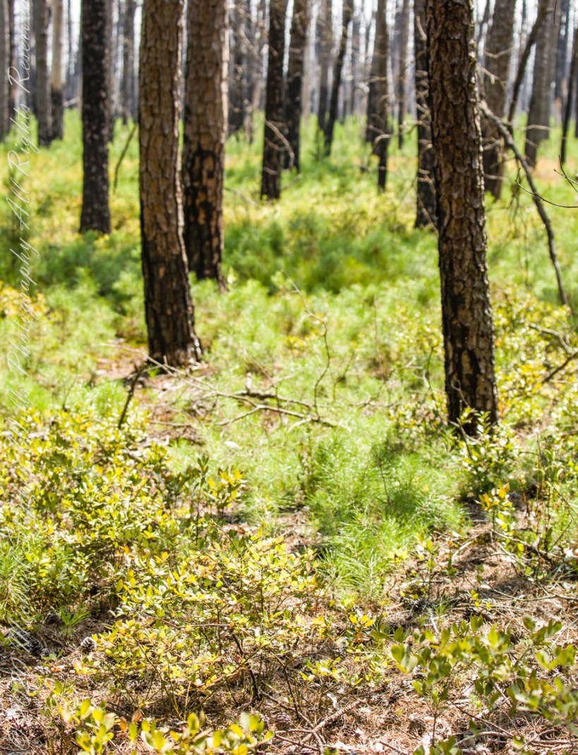
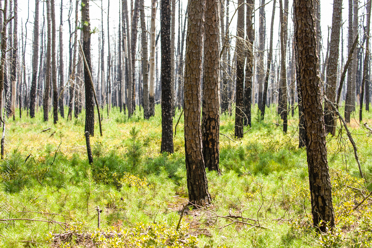
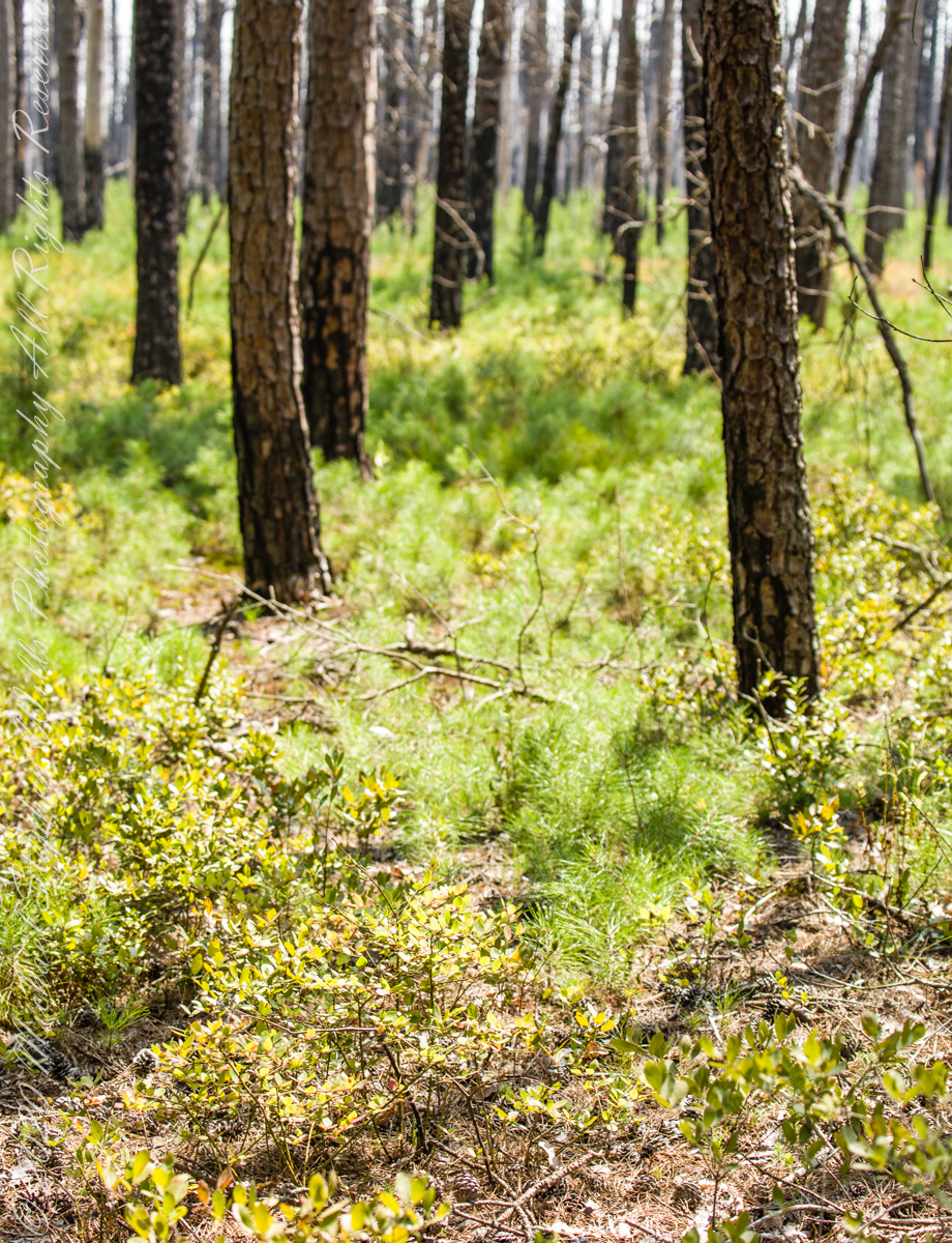
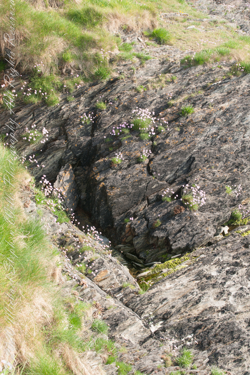
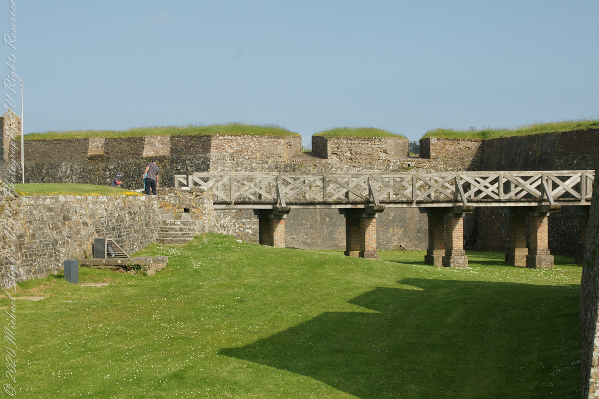
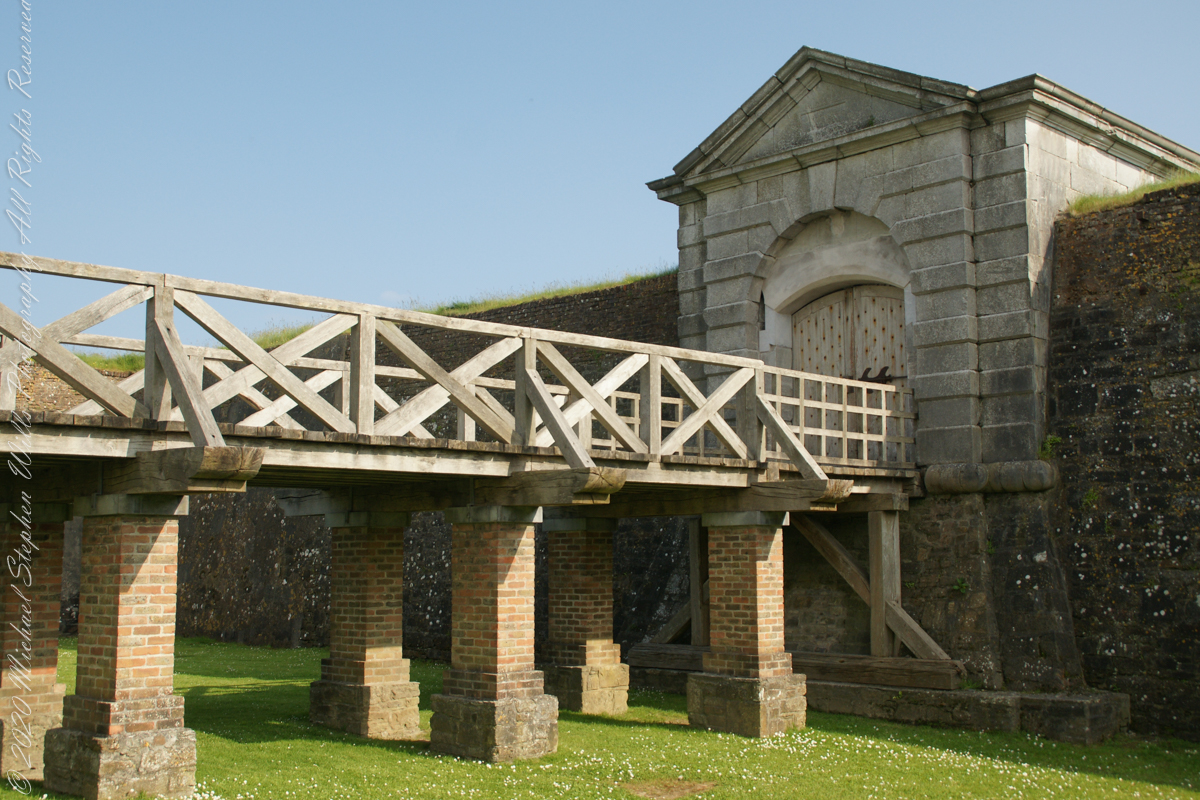
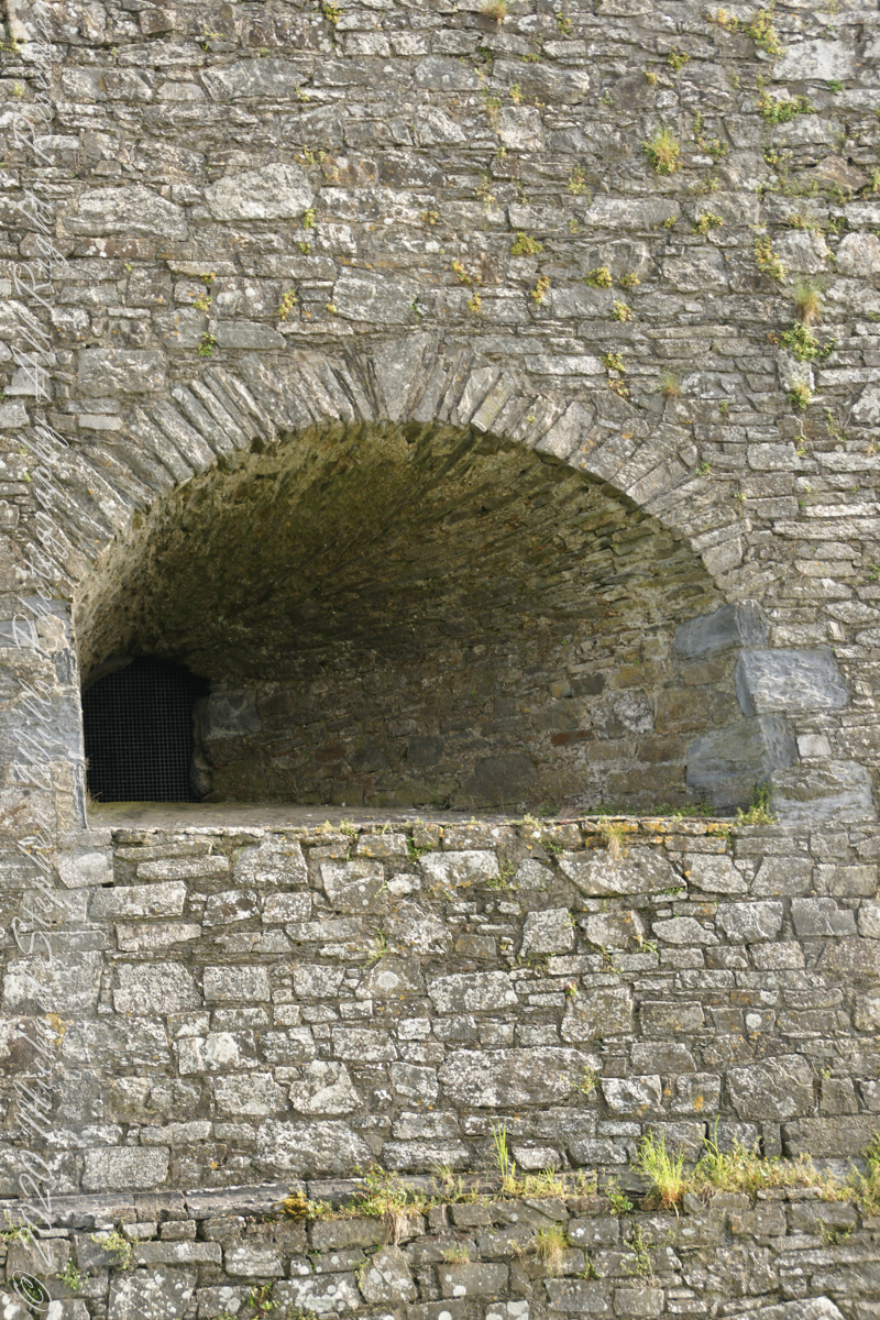
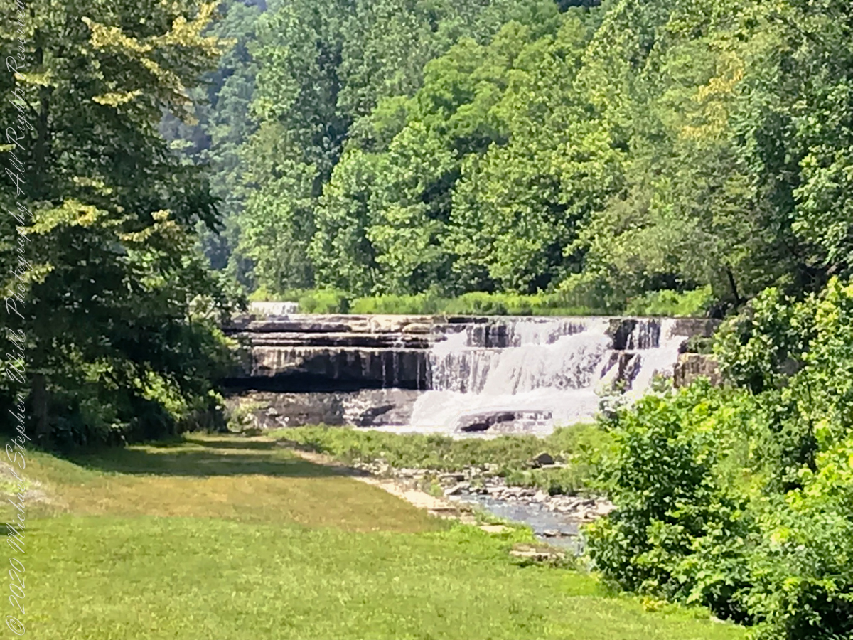
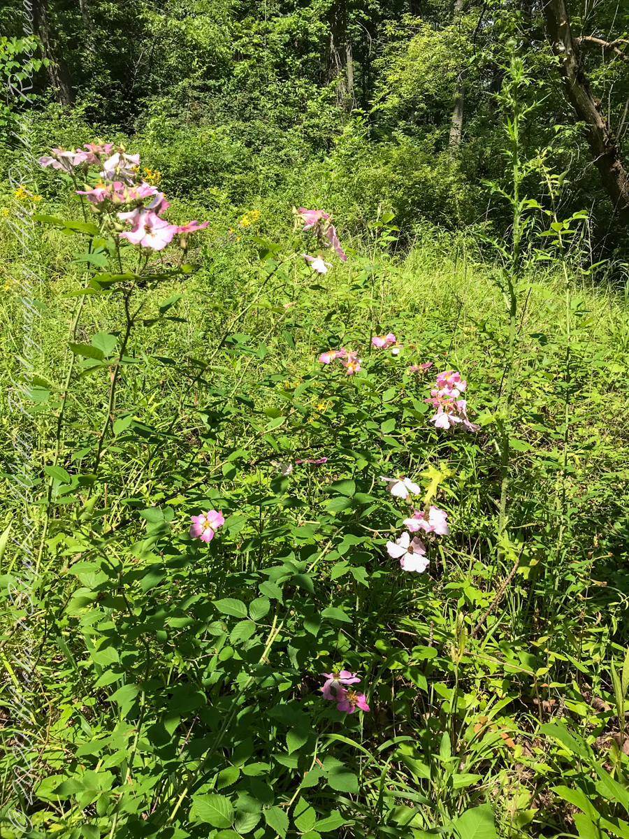
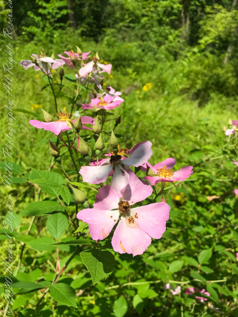
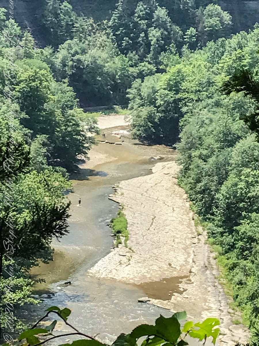
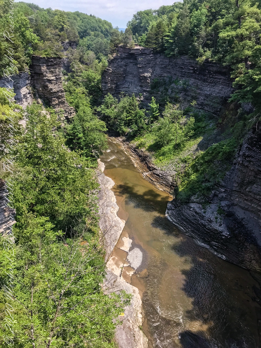
Here my exploration of Wharton State Forest, Pitch Pine Forest III, branches to the genealogical exploration of this landscape as my sister, Theresa and I, proceed along the humped, pitted sand road Goodwater through the wilderness to emerge in Batsto Village, a recreation of lives that touched my great great grandparents, James and Ann McCambridge among them. Ann saved money earned as a cook for Atsion furnace, the historical site at the start of the road to Quaker Bridge. Her husband James worked as a collier, supplying fuel for the iron furnaces at Atsion and Batsto, among other enterprises. During our Batsto Village visit we found these reproductions of charcoal clamps.
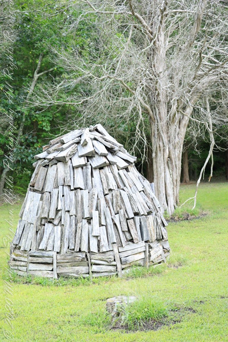
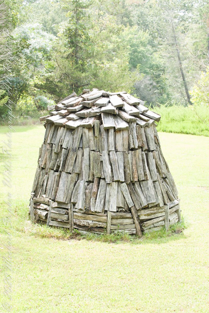
Since earliest times charcoal was used for cooking and heating. It was the best heat source for metal furnaces. Entire deforested regions are attributed to the demand for charcoal. Thomas Jefferson experimented with charcoal clamp designs, modifying air flow from the base.
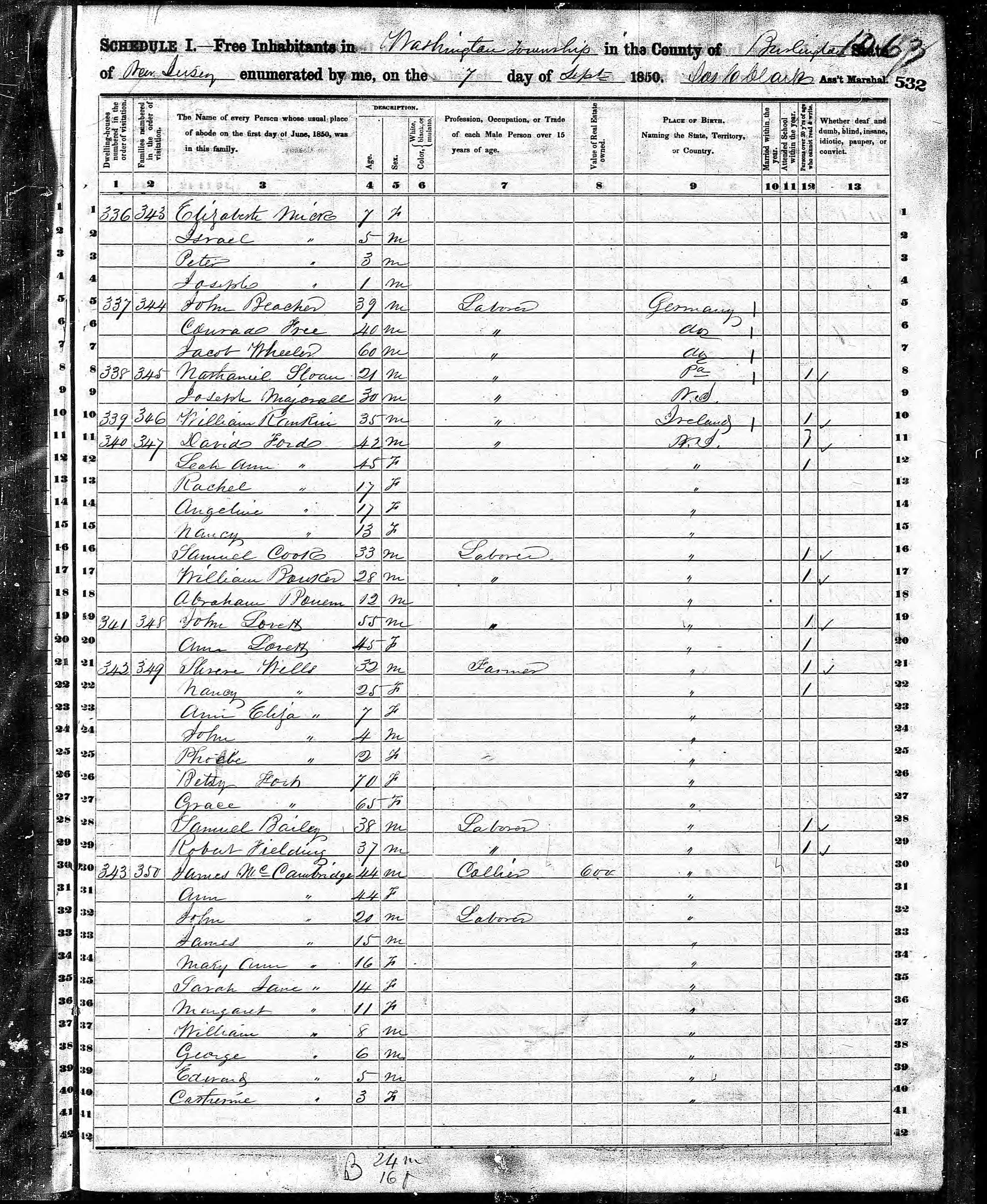
James and Ann lived on the land that provided a livelihood, enough to support themselves and nine (9) children. From September 7, 1850 is the US Census for this family of my second great grandparents. Great Grandmother Margaret was 11 years. James is listed as a Collier, the value of Real Estate owned was 6,000 (a fortune for the time).
Like his wife Ann, James had a savings account…..
Click for the next chapter, “Pinelands X”
Copyright 2021 Michael Stephen Wills All Rights Reserved