Baker Laboratory dates back to World War I. With 200,000 square feet of space, the lab is home to Cornell’s Chemistry and Chemical Biology Department, the Chemistry Research Computing Facility, the Nuclear Magnetic Resonance Facility, and the Advanced ESR Technology Research Center (whew!!).
Trees on a Knoll
On the right, on a knoll, is a European beech tree (Fagus sylvatica). The Latin name holds a double irony. Standing, alone, high above East Avenue on the Cornell campus (sylvatica means “of forests”) as a memory of the forests growing above Cayuga Lake is a being once worshiped as a god. In Celtic mythology, Fagus is the god of beeches.
A maple is on the left, genus Acer of unknown species. I recognize it from the shape.
Copyright 2023 Michael Stephen Wills All Rights Reserved
Cornell University is on a west-facing hill above Cayuga lake. Libe Slope is between the West Campus and Quadrangle / Libraries.
Besides the exercise of walking the 18 degree incline several times each day, Cornell students and alumni remember The Slope for autumn color.
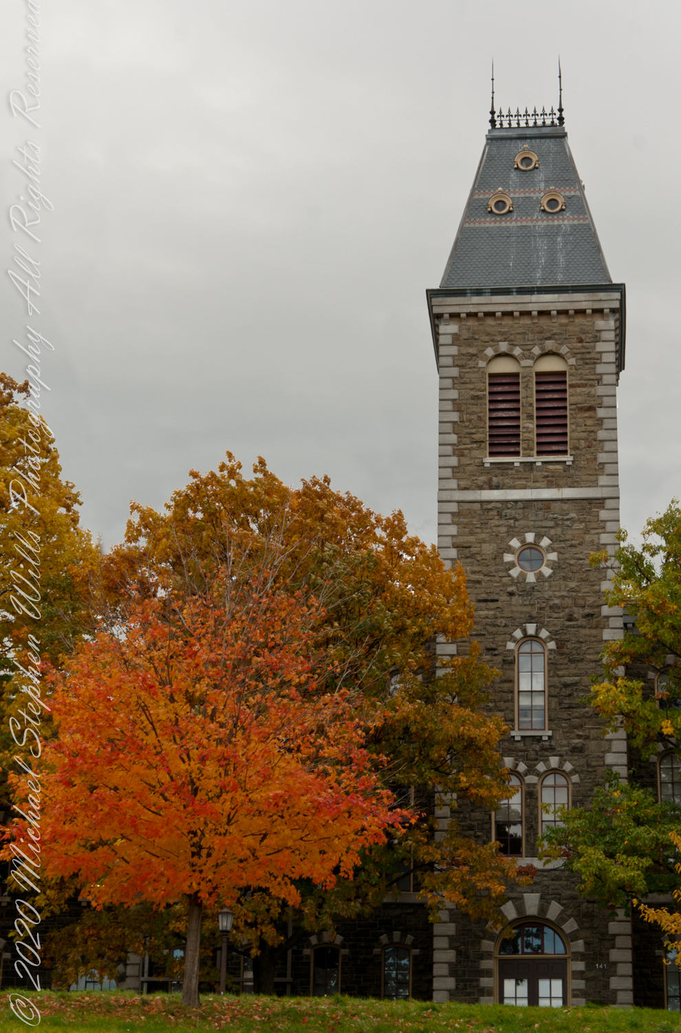
Built in 1868, McGraw Hall has the honor of having the first of Cornell’s towers. The building is built of Ithaca stone and is home to the American Studies Program, Department of History, Department of Anthropology, and Archaeology Intercollege Program. The first floor of McGraw Hall houses the McGraw Hall Museum, a collection of roughly 20,000 objects from around the globe used for teaching by the Anthropology Department.
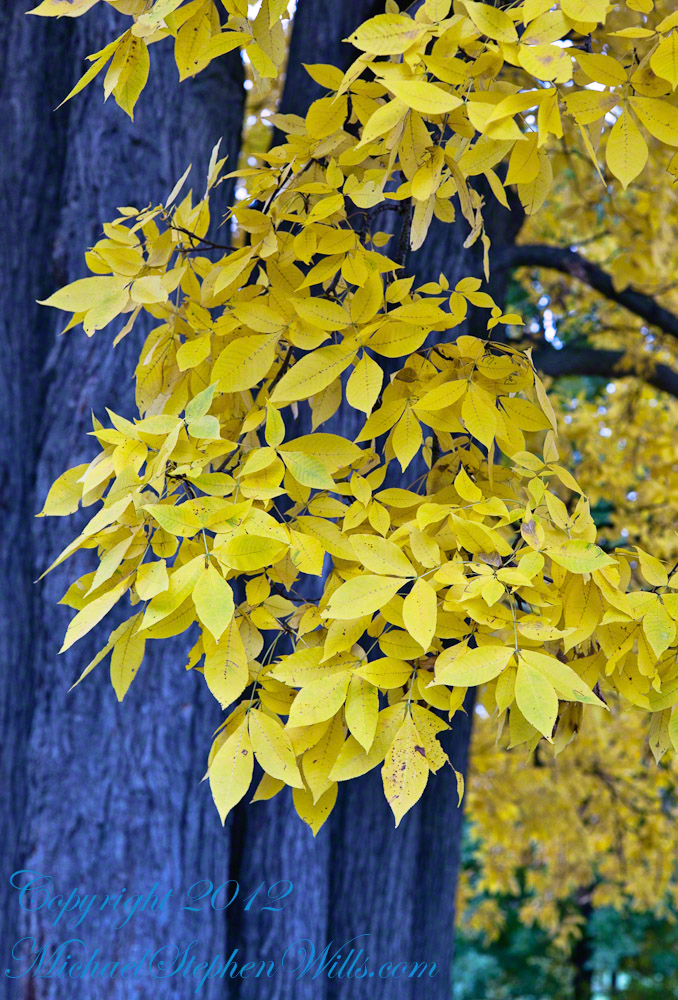
Hickory
This is a Pignut Hickory (Carya glabra), the largest tree according to a 2009 Campus Tree Inventory (see link, below).
Seen from the north on a cloudy October day, this Pignut Hickory (Carya glabra) is the largest tree on the Cornell Campus, at 79 inches in diameter.
This hickory grows south of the Johnson Museum and among the autumn glories, it is the largest and brightest yellow canopy on Libe Slope.
Contrast
I remember this hickory for the contrast between the canopy and trunk, the way the clumps of yellow hang from dark boughs. An overcast day is the best to capture this spectacle. October 20, 2012 provided both bright sun and dark, rolling autumn clouds. I waited on the north side, sheltered from the glare of the sky, for these perfect moments.
Leaves and Nuts
The pignut hickory is native to these Eastern United States. It is known to favor moist slopes and this specimen has thrived on The Slope. The ground beneath it is thick with nuts.
One week later as Hurricane Sandy approached the east coast
Just one week later, late afternoon on a sunny Friday as hurricane Sandy approached the east coast the hickory has fewer, tawny golden leaves.
Later in October the bright yellow leaves of the Libe Slope Hickory darken to a tawny gold. The Johnson Museum is in the right background.
Wonderful Flow of Limbs among Gold
Seen from the north on a cloudy October day, this Pignut Hickory (Carya glabra) is the largest tree on the Cornell Campus, at 79 inches in diameter.
References
A Photo Tour of Key Buildings at Cornell University by Allen Grove
Named for founding trustee John McGraw, who gave $120,000 for construction of the building, McGraw Hall, designed by architect Archimedes N. Russell, opened in 1872.
Built of an Ithaca stone known as Lenrock, the four-story building was the first on campus to include a tower and today is home to the American Studies Program, Department of History, Department of Anthropology, and Archaeology Intercollege Program.
Jennie McGraw, daughter of John McGraw, donated the chimes to be placed in the tower, where they stayed until McGraw Tower was built in 1891.
This year the College of Arts and Sciences inaugurated a comprehensive renovation of McGraw Hall.
Copyright 2023 Michael Stephen Wills All Rights Reserved
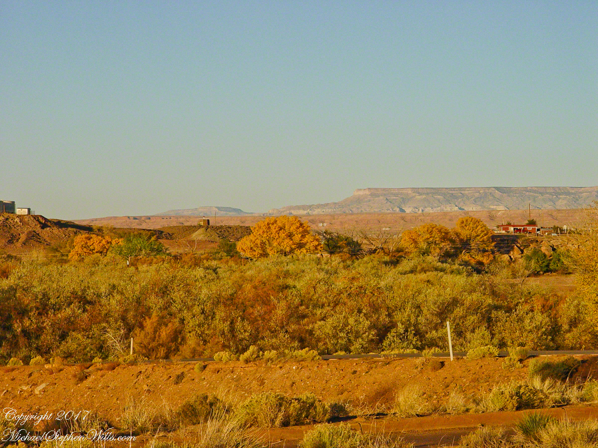
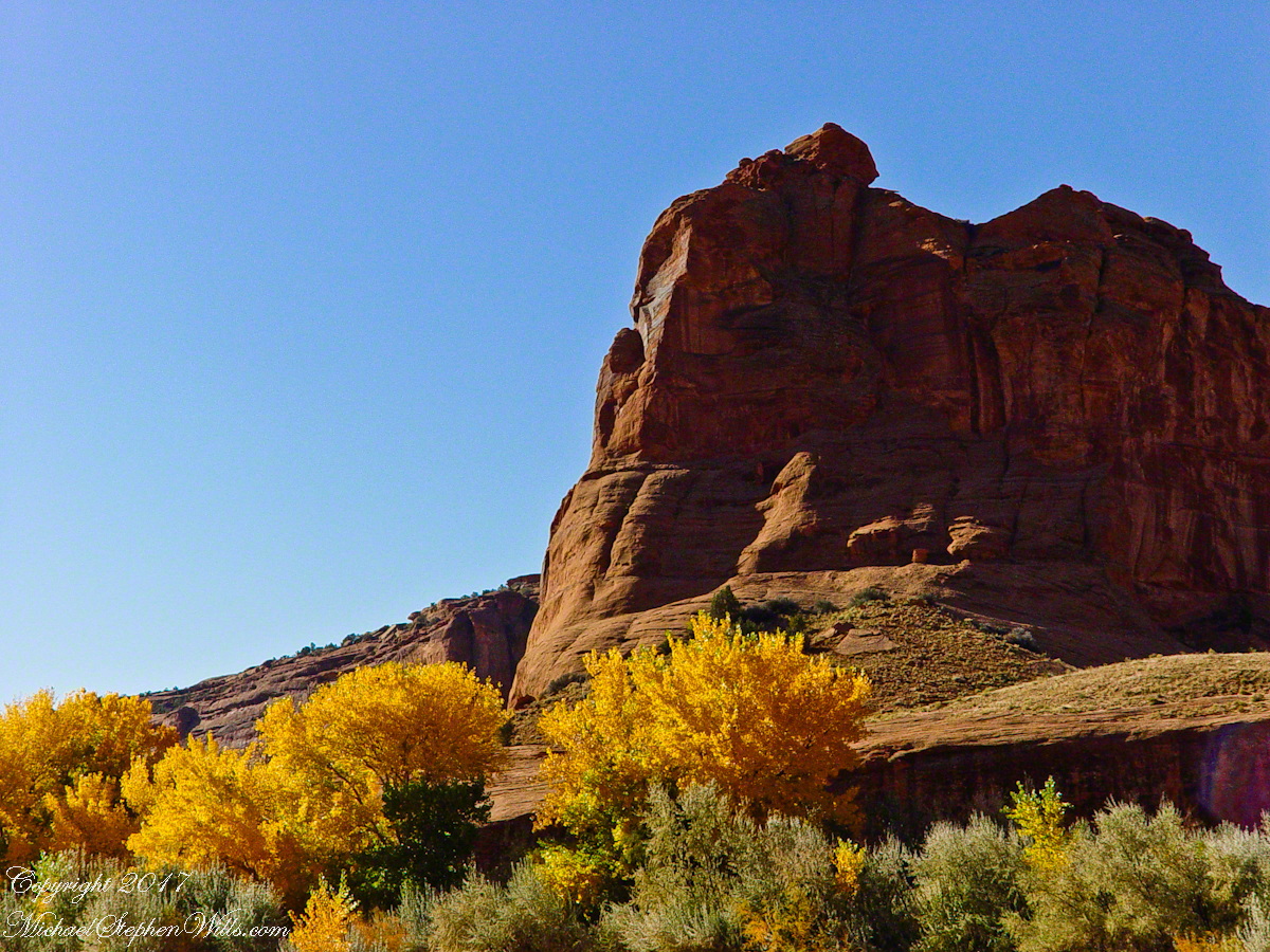
Looking southwest from the Canyon de Chelly visitor center toward the eastern escarpment of Black Mesa of the Hopis.
The village of Chinle is a “census designate place”, in other words it only exists because people live there, it was not formally recorded in “official” records. On the Navajo reservation, people lived here beyond recorded time. It is called in their language “flowing out”, where live giving water flows out from the canyons.
There is a fine Best Western in Chinle, better than most of that brand and the only choice for mile and miles and miles.
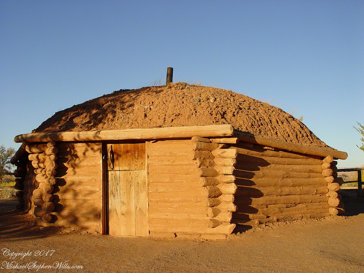
This is a cribbed log hogan. The domed earthen roof keeps the interior cool in hot weather and, along with a fire, warm in the winter. The Navajo hogan entrance faces east.
In Junction Ruin Musings, the previous post, a ruin from the Anasazi people was contemplated. Above is a traditional Navajo dwelling from a later, more secure, time.
A good place to cook, read and sleep in hot weather. The entrance faces east and, for this one, the view was superb.
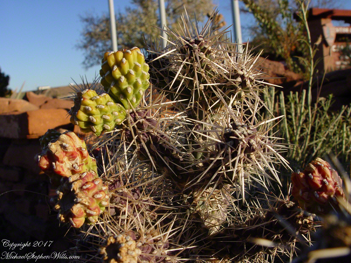
Ouch!! Everywhere in the southwest, watch where you tread.
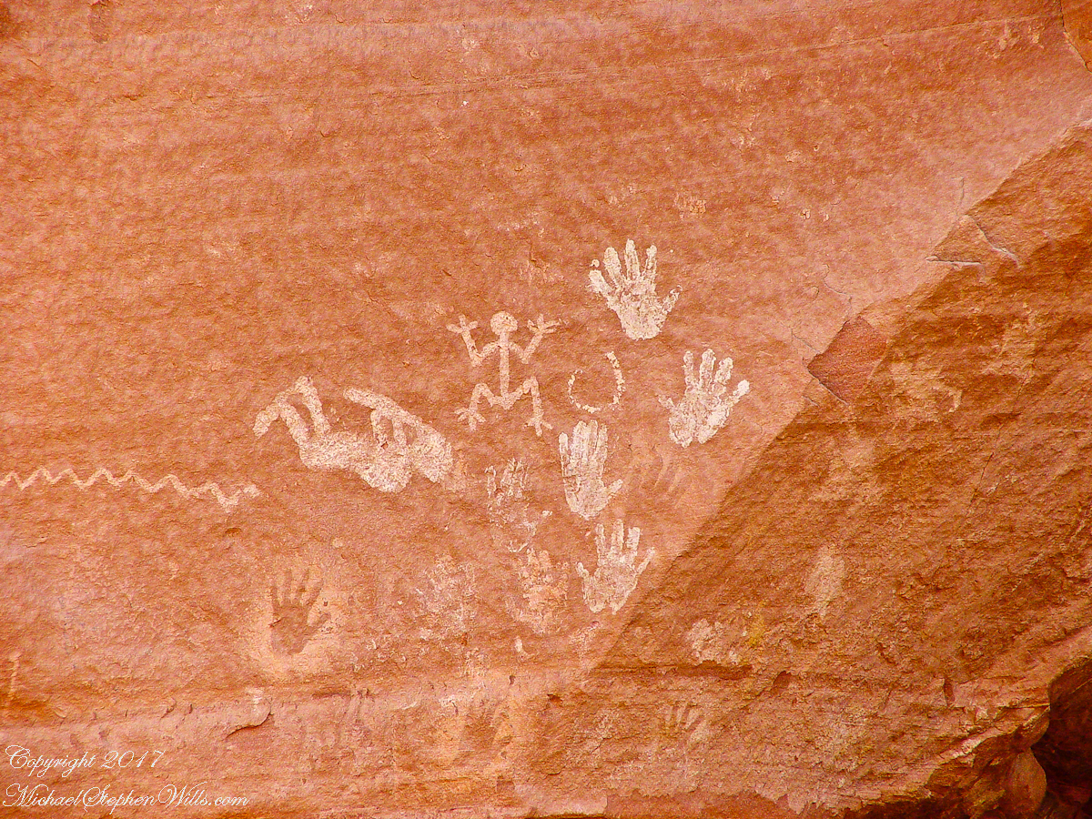
A Native American, seeing the flute playing Kokopelli, hears in the mind the sonorous melodies of their native flutes carried in as if on the wind. The hands waving in rhythm, “Here we are.”
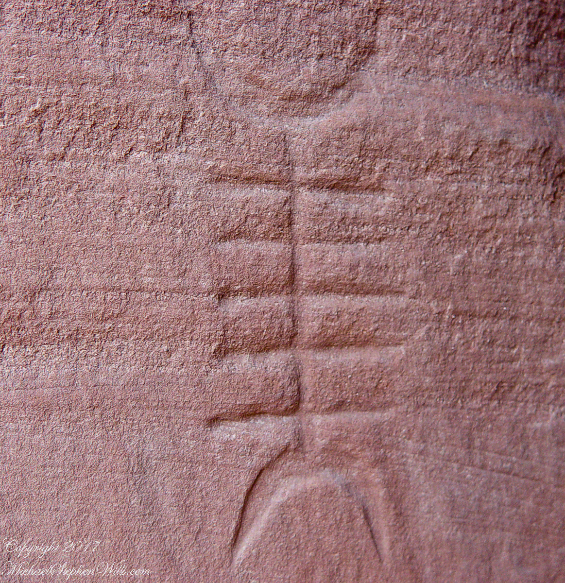
Canyon de Chelly symbol carved into red sandstone cliff representing a clan sign.
I recall our guide, Peter, describes this as a scorpion.
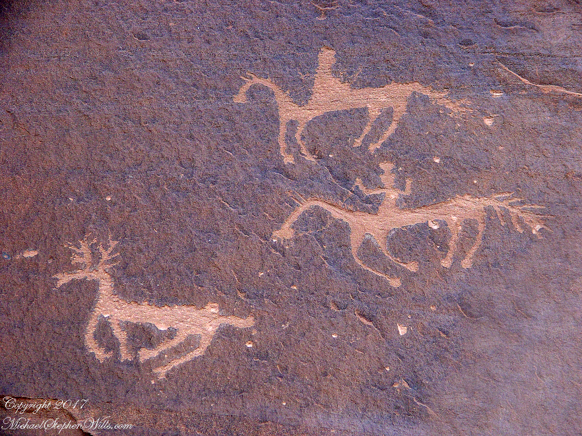
Canyon de Chelly petroglyph, desert varnish over red sandstone. Image is dated by representation of horses, brought by europeans.
The feeling of movement and the story invoked viewing this drawing etched carefully on the rock demonstrates we are in the presence of an accomplished artist. The story of the times for us to learn from.
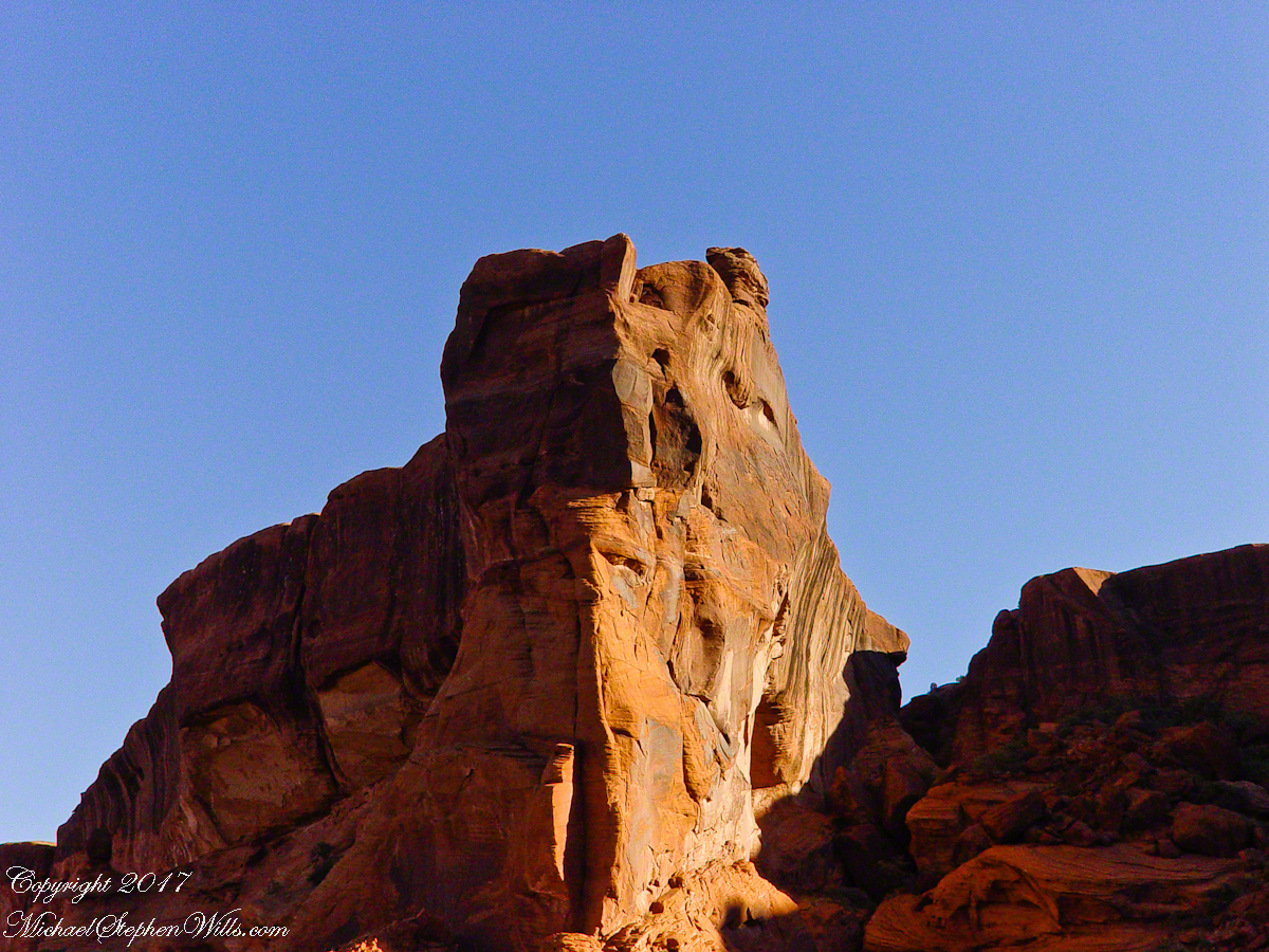
Red sandstone formation on ridgeline, north side of Canyon de Chelly is remember by the Navajo for the story of the Raven Woman.
A Navajo woman, fleeing Apache captors, flew over this cliff, or seemed to. Survival depended on knowing how to run over slickrock without stumbling and to know where and how to disappear into the rocks.
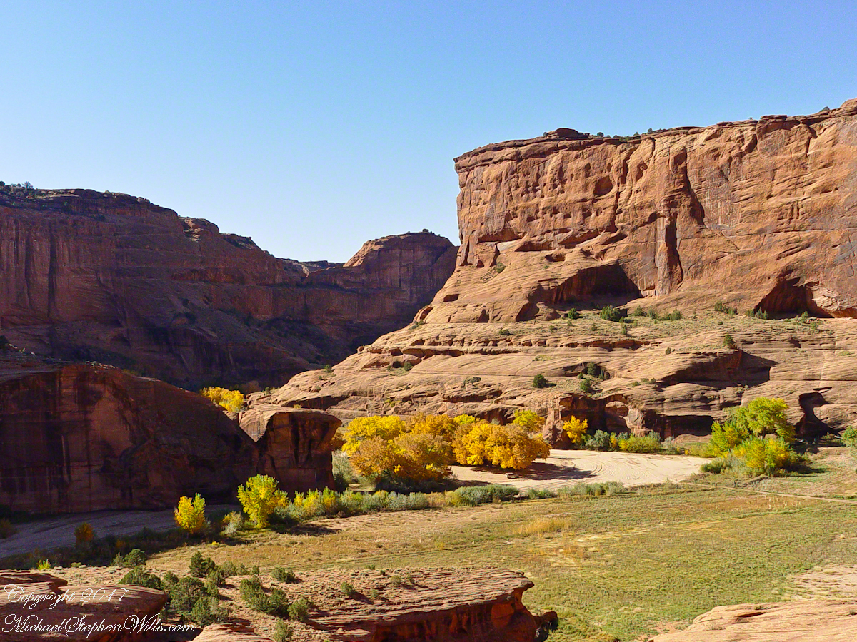
Canyon de Chelly below the first division into tow arms, the junction. This is looking south east. The cottonwoods are in autumn foliage.
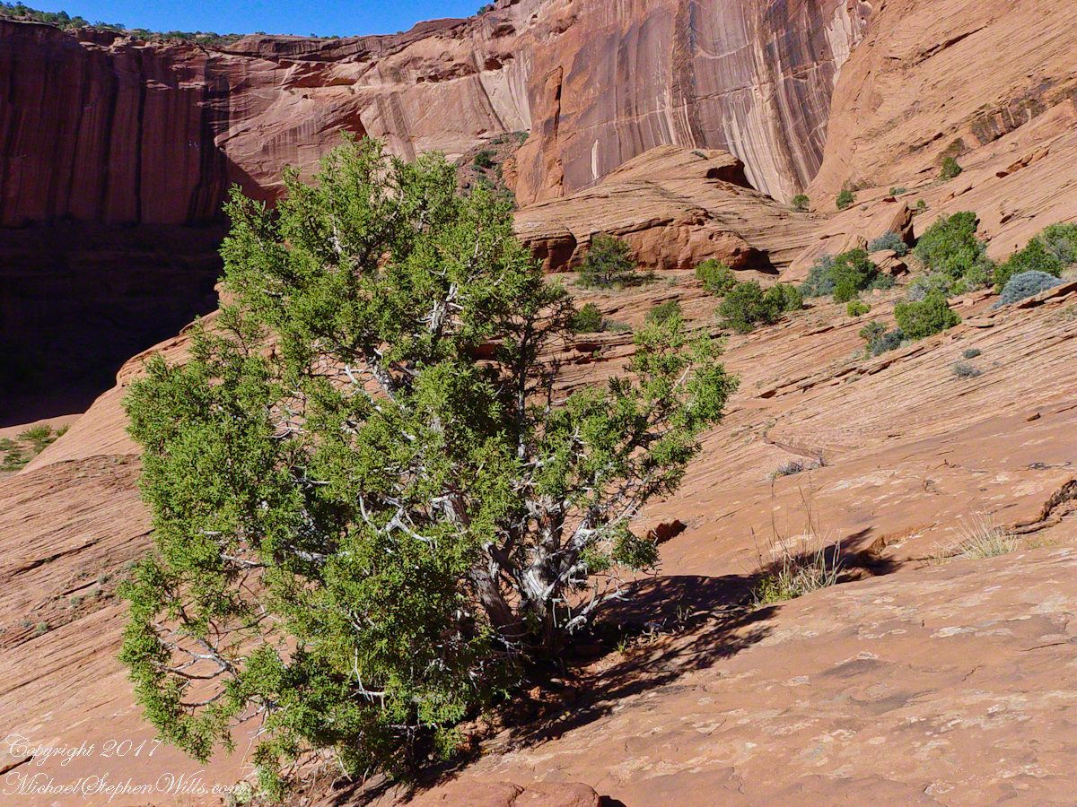
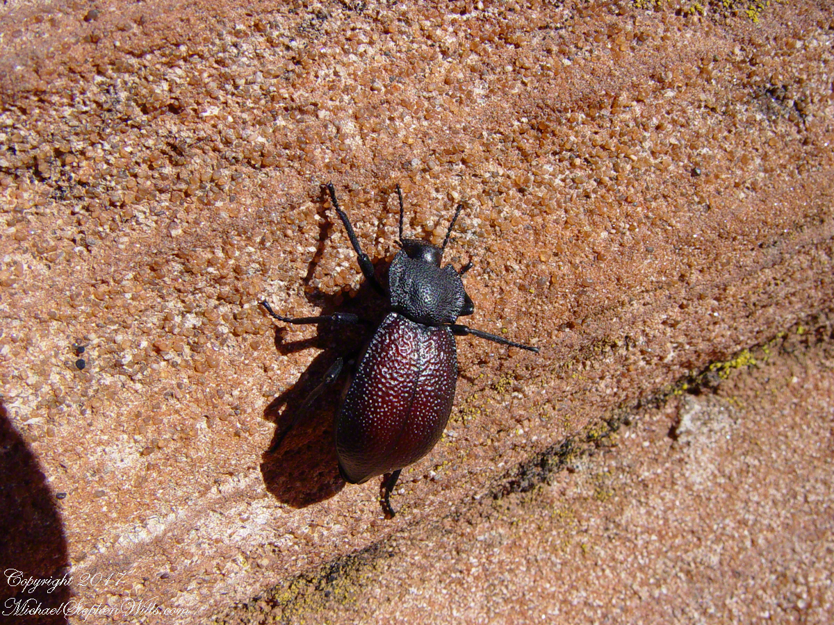
Cahyon de Chelly is is possible here to climb out of the canyon over these lower slopes over what is called slickrock. In the foreground is a juniper tree.Canyon de Chelly vista from a slickrock ledgeA two inch dung beetle crawls up sandstone slickrock, the origin of this stone apparent from the visible sand granules within an apparent clay matrix. The stone grain, described as cross bedded, suggests this was a former dune of wind blown sand composed of remnants of the Ancestral Rock Mountains.
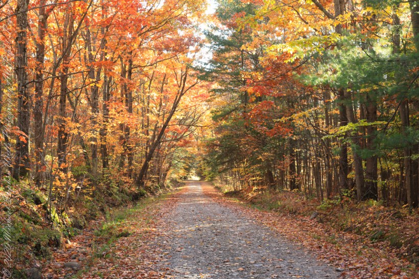
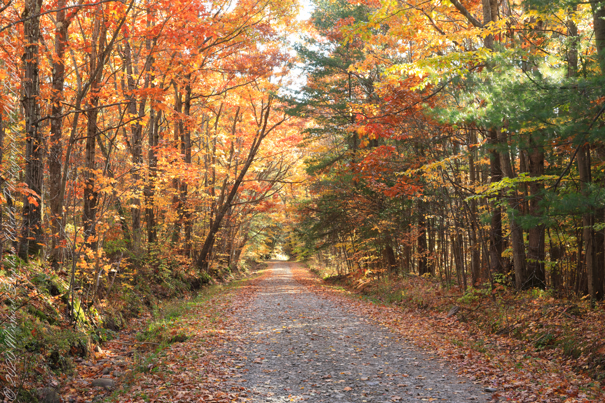
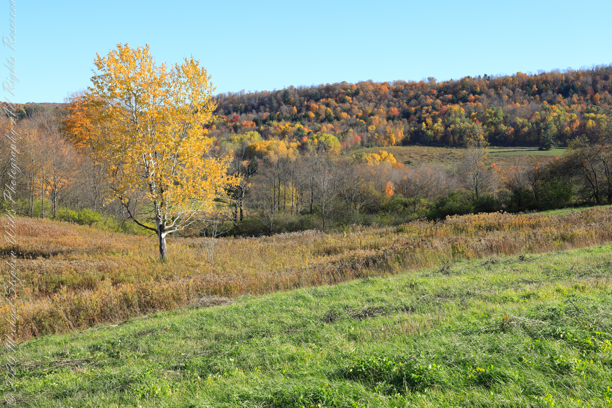
For my last autumn posting this last day of November 2022 this colorful hall of trees is on the long descent of Lacey Road from Cortland to Tioga Counties where it passes close the meeting point of three counties near the Robinson Hollow State Forest, the third being Tompkins County.
We are travelling south on a northernmost, glaciated section of the Allegheny Plateau. In the 19th Century a lawyer named Calvin J. Robinson was a prominent citizen of nearby Richford.
Copyright 2022 Michael Stephen Wills All Rights Reserved
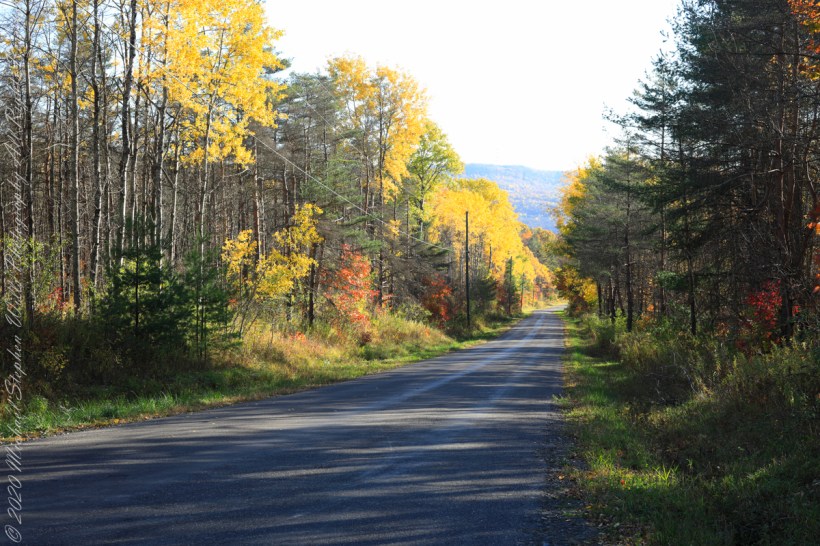
South/Southwest view from the long hill into Harford, stopping to admire the effect of sunlight, dappled shade and bright yellow, orange, red against the distant ridge sheltering Robinson Hollow. Near Harford, Cortland County, New York.
Copyright 2022 Michael Stephen Wills All Rights Reserved
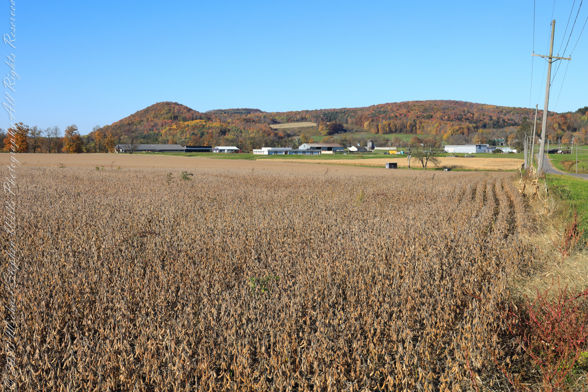
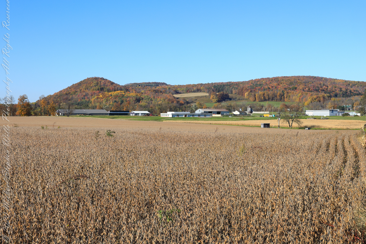
A diorama of the Museum of Natural History, New York City, features this north view, first viewed as a young teen on a school field trip — the duplicated sight was imprinted on my memory. Over the years I passed this spot repeatedly for trips to Long Island for family Thanksgiving celebrations. October 22nd, 2022, the field was planted with soybeans ready to harvest. The rounded hill, a drumlin, finishing the left side of the ridge, is the “star” of this photograph and the diorama.
A drumlin, from the Irish word droimnín (“littlest ridge”), first recorded in 1833, is an elongated hill in the shape of an inverted spoon or half-buried egg formed by glacial ice acting on underlying unconsolidated till or ground moraine.
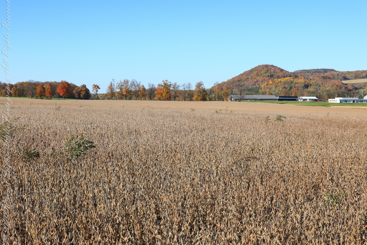
Same exposure cropped to remove road and poles to perfect the image.
I am not sure the north/northwest view is an improvement, as seen in the following photograph.
Copyright 2022 Michael Stephen Wills All Rights Reserved
For this series I travelled a short distance south from where Palmer Road intersects with Virgil Road, crossing the border from Tompkins to Cortland County, closer to Carpenter Hill.
In the 19th Century driven wells (also called tube wells) were an innovation developed in Cortland County under the command of a Civil War era Colonel Nelson W. Green who sought for twenty-two years to impose royalties on use of driven wells. I.H. Palmer assisted John W. Sugget, both of Cortland County, in a seminal patent law case they won in U.S. Supreme Court seeking the release from royalty payments from thousands of driven well installations throughout the Eastern and Midwestern United States. Their successful argument was for two years before any patent application, in Cortland County, driven wells were in use. I cannot say Palmer Road has a connection to I.H. Palmer, though it is an interesting historical aside.
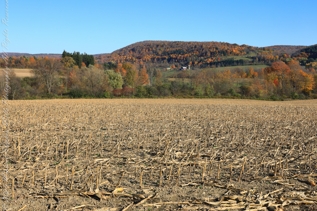
View east from Palmer Road across corn stubble. A feeder stream to Virgil Creek is marked by the nearest line of trees, beyond the land rises over the shoulder of Owego Hill.
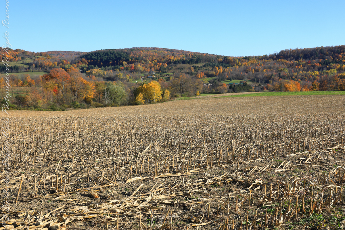
View east/southeast from Palmer Road across corn stubble. A feeder stream to Virgil Creek flows through the first tree line on left with the creek itself in the far trees, center at the foot of Carpenter Hill. The green field at edge of corn stubble is the fallow field of the next photograph.
View east/southeast from the east edge of a fallow field along Palmer Road. Looking across Virgil Creek to the slope of Carpenter Hill. Cortland County, New York.
Copyright 2022 Michael Stephen Wills All Rights Reserved