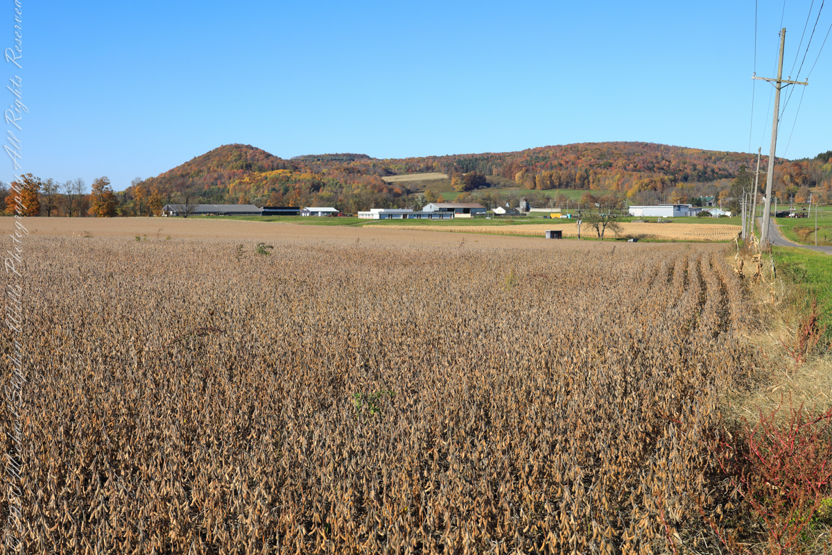
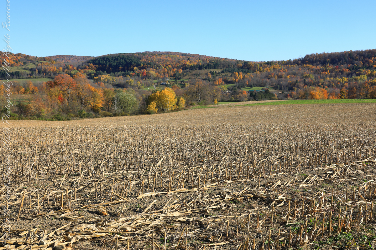
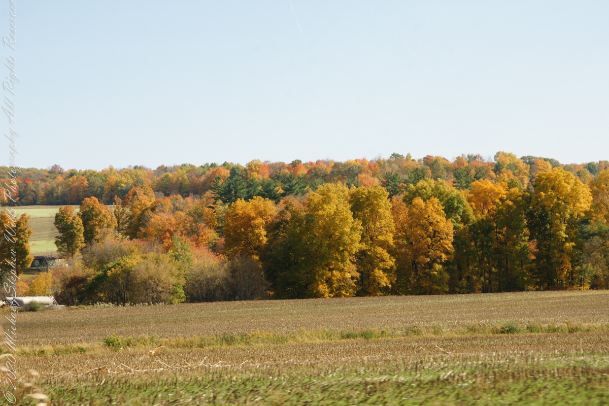
A diorama of the Museum of Natural History, New York City, features this north view, first viewed as a young teen on a school field trip — the duplicated sight was imprinted on my memory. Over the years I passed this spot repeatedly for trips to Long Island for family Thanksgiving celebrations. October 22nd, 2022, the field was planted with soybeans ready to harvest. The rounded hill, a drumlin, finishing the left side of the ridge, is the “star” of this photograph and the diorama.
A drumlin, from the Irish word droimnín (“littlest ridge”), first recorded in 1833, is an elongated hill in the shape of an inverted spoon or half-buried egg formed by glacial ice acting on underlying unconsolidated till or ground moraine.
Same exposure cropped to remove road and poles to perfect the image.
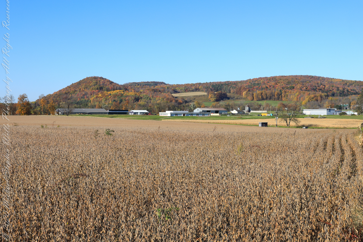
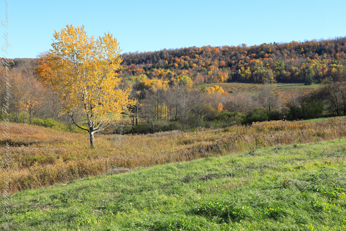
I am not sure the north/northwest view is an improvement, as seen in the following photograph.
Copyright 2022 Michael Stephen Wills All Rights Reserved
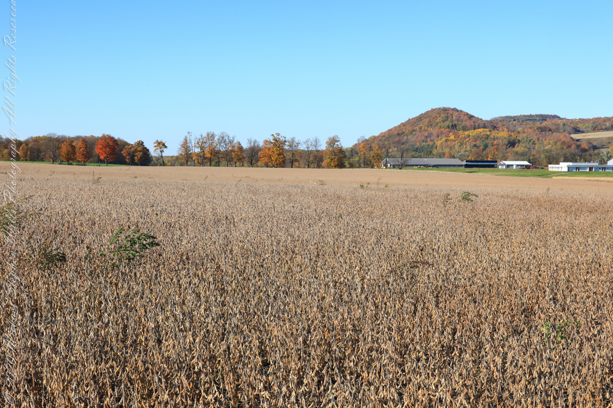
For this series I travelled a short distance south from where Palmer Road intersects with Virgil Road, crossing the border from Tompkins to Cortland County, closer to Carpenter Hill.
In the 19th Century driven wells (also called tube wells) were an innovation developed in Cortland County under the command of a Civil War era Colonel Nelson W. Green who sought for twenty-two years to impose royalties on use of driven wells. I.H. Palmer assisted John W. Sugget, both of Cortland County, in a seminal patent law case they won in U.S. Supreme Court seeking the release from royalty payments from thousands of driven well installations throughout the Eastern and Midwestern United States. Their successful argument was for two years before any patent application, in Cortland County, driven wells were in use. I cannot say Palmer Road has a connection to I.H. Palmer, though it is an interesting historical aside.
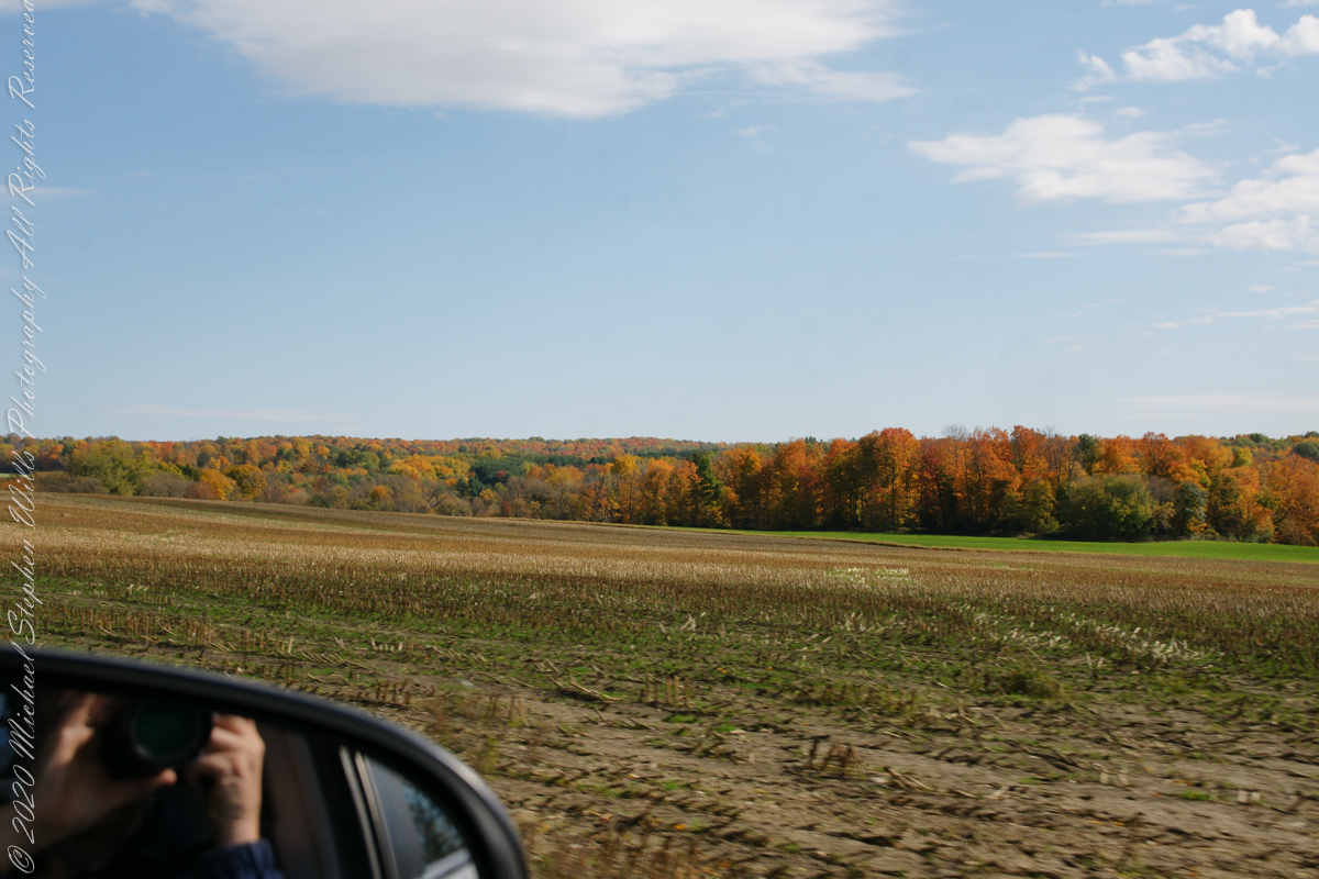
View east from Palmer Road across corn stubble. A feeder stream to Virgil Creek is marked by the nearest line of trees, beyond the land rises over the shoulder of Owego Hill.
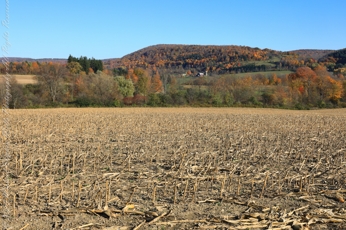
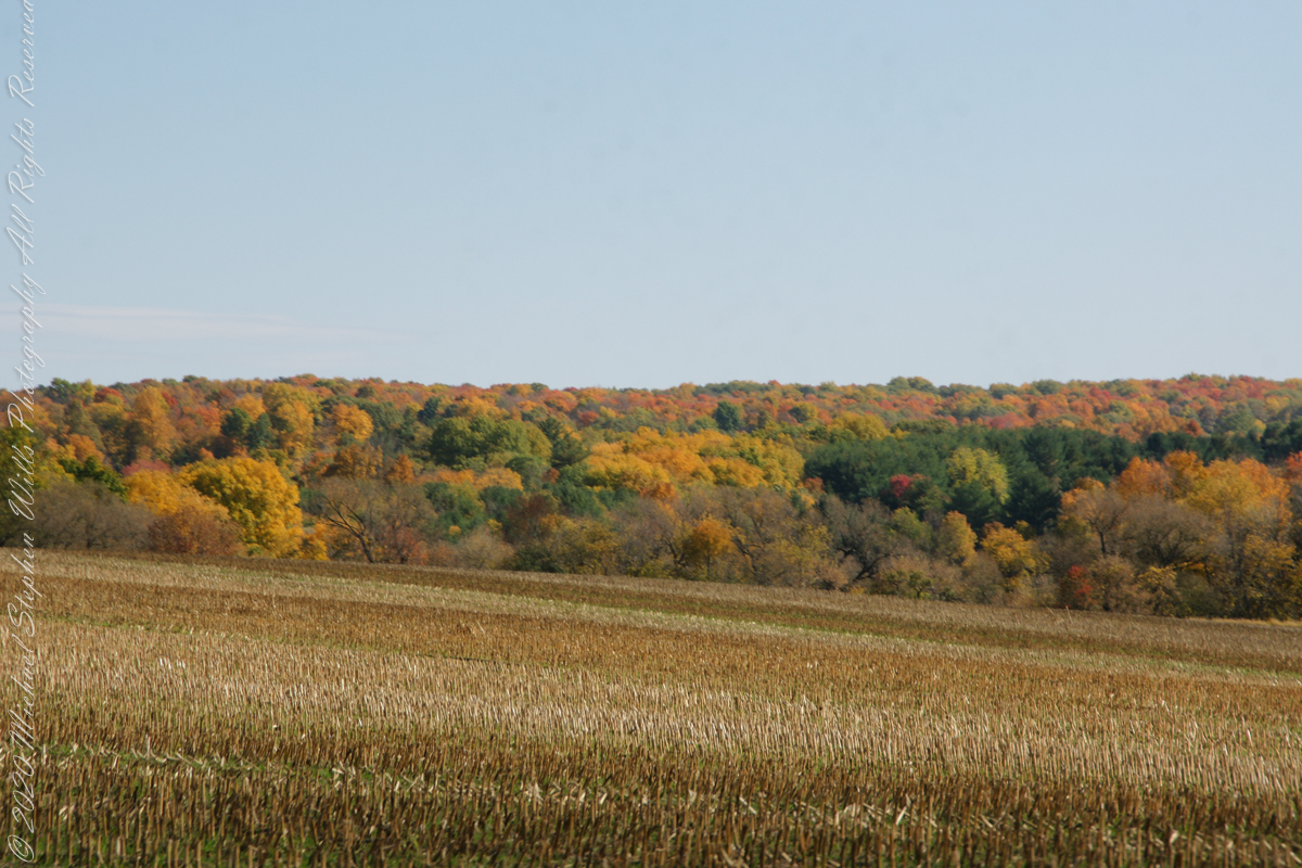
View east/southeast from Palmer Road across corn stubble. A feeder stream to Virgil Creek flows through the first tree line on left with the creek itself in the far trees, center at the foot of Carpenter Hill. The green field at edge of corn stubble is the fallow field of the next photograph.
View east/southeast from the east edge of a fallow field along Palmer Road. Looking across Virgil Creek to the slope of Carpenter Hill. Cortland County, New York.
Copyright 2022 Michael Stephen Wills All Rights Reserved
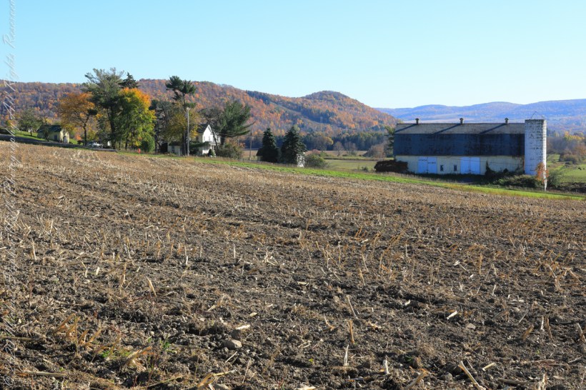
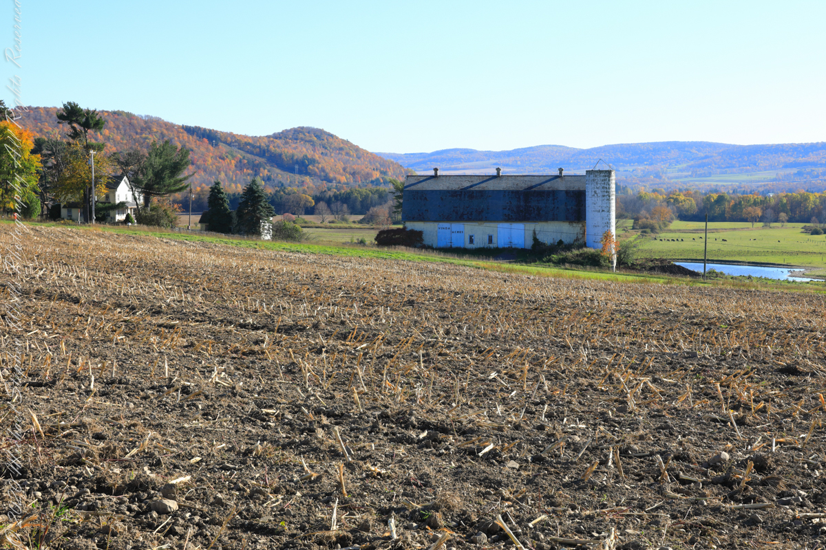
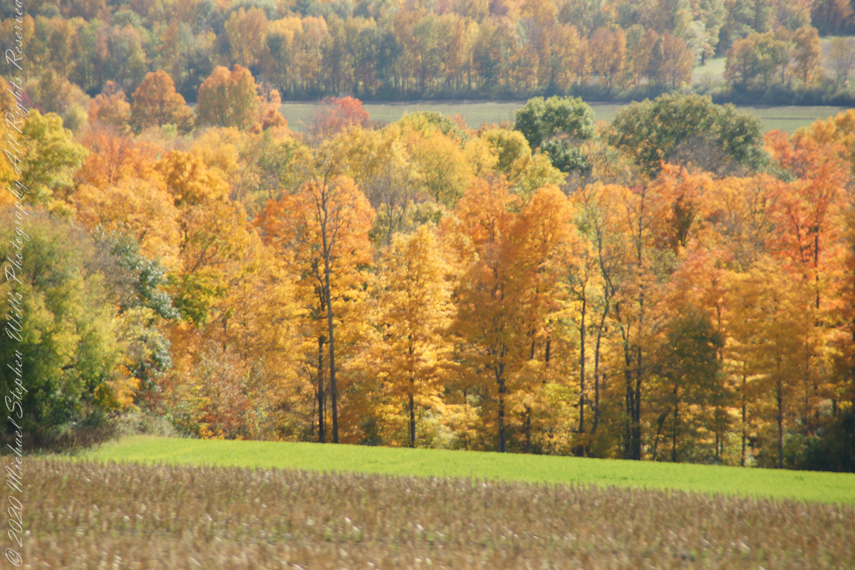
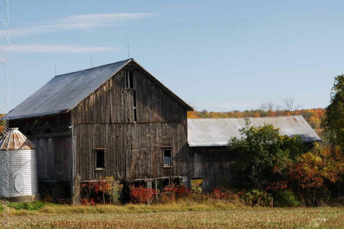
Carpenter Hill from Virgil Road, Route 392, looking across cornstalk stubble and McClintock Road, a faded yellow barn with “Vinda Acres” written on the doors.
The hill is clearly a drumlin. A drumlin, from the Irish word droimnín (“littlest ridge”), first recorded in 1833, is an elongated hill in the shape of an inverted spoon or half-buried egg formed by glacial ice acting on underlying unconsolidated till or ground moraine.
Distant ridges on the right include Hammond Hill. The road to Virgil above the town of Dryden, Tompkins County, New York.
Copyright 2022 Michael Stephen Wills All Rights Reserved
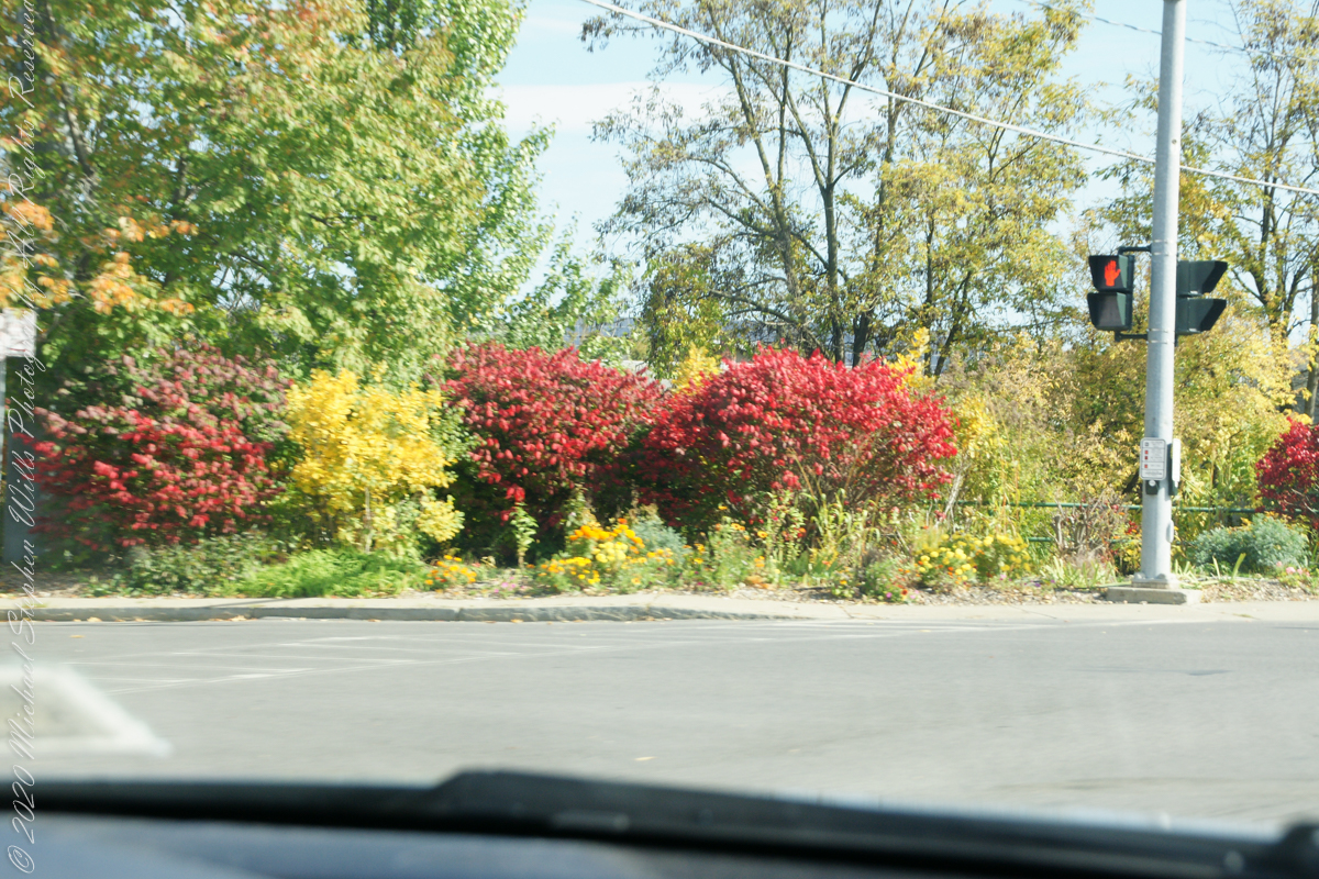
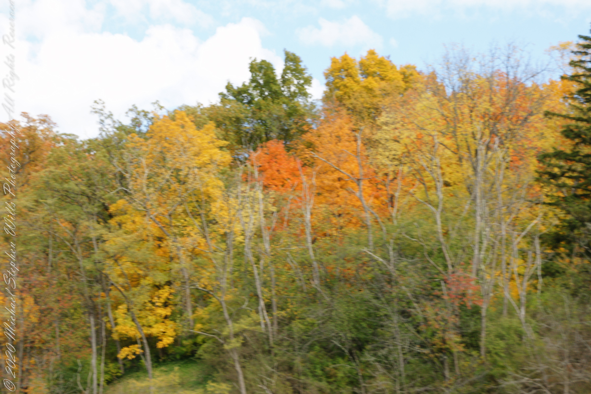
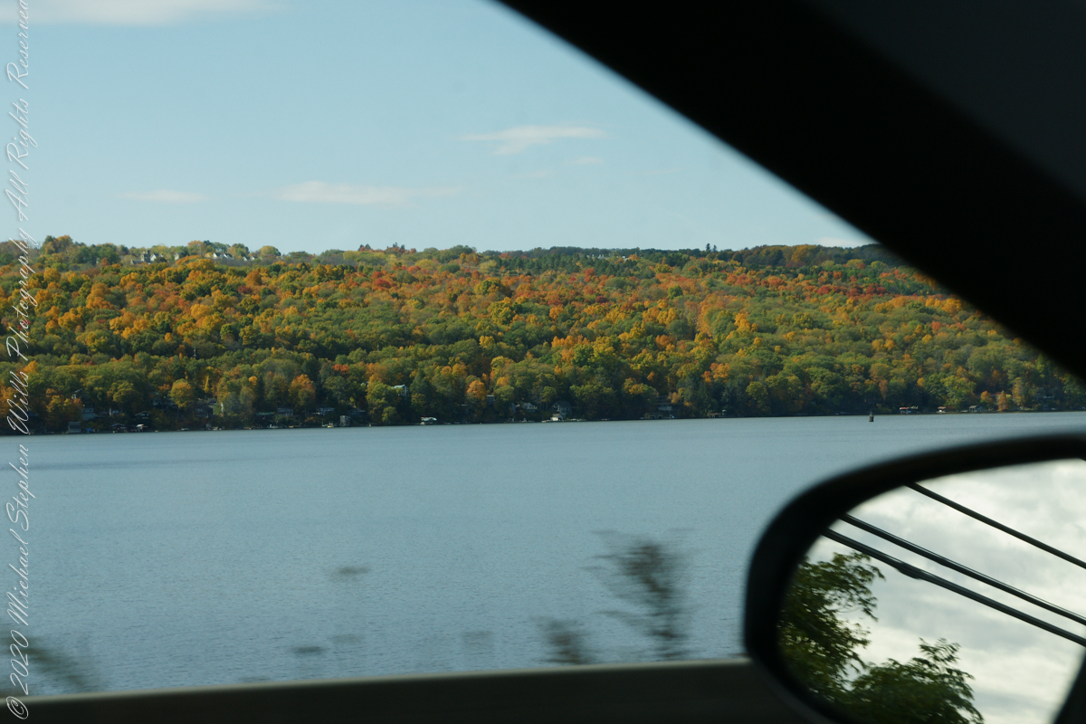
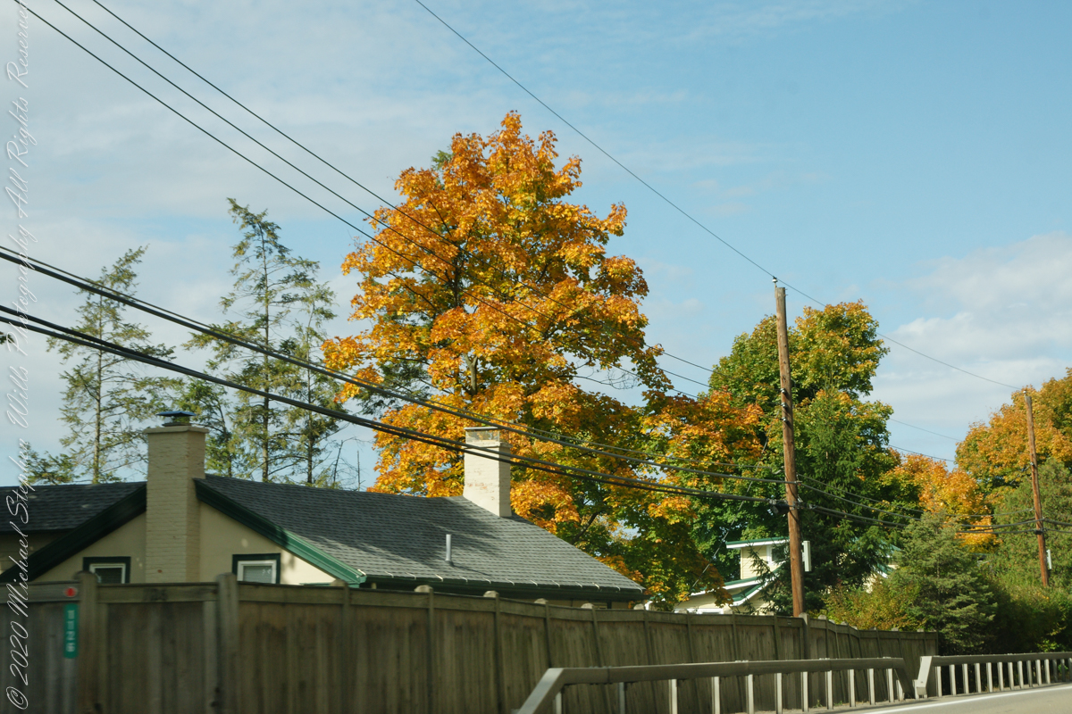
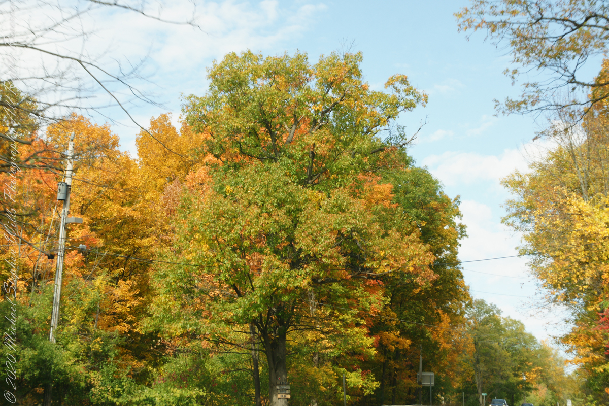
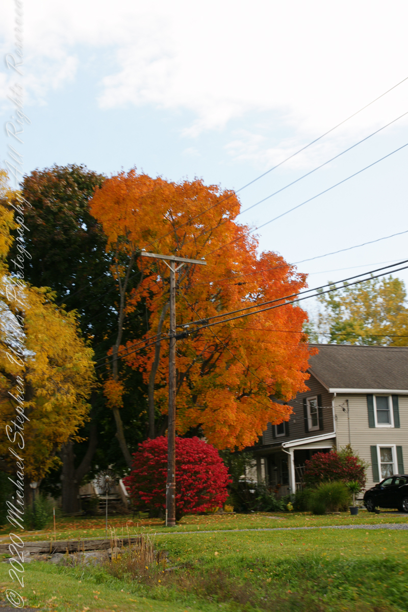
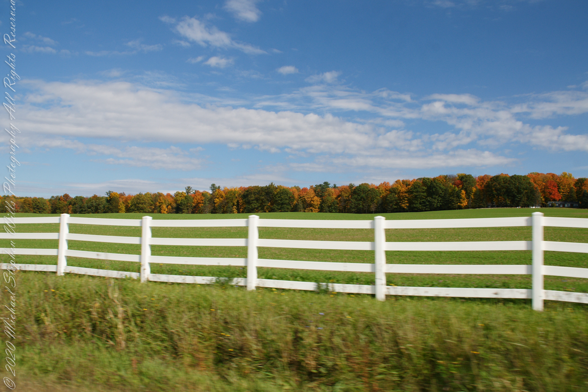
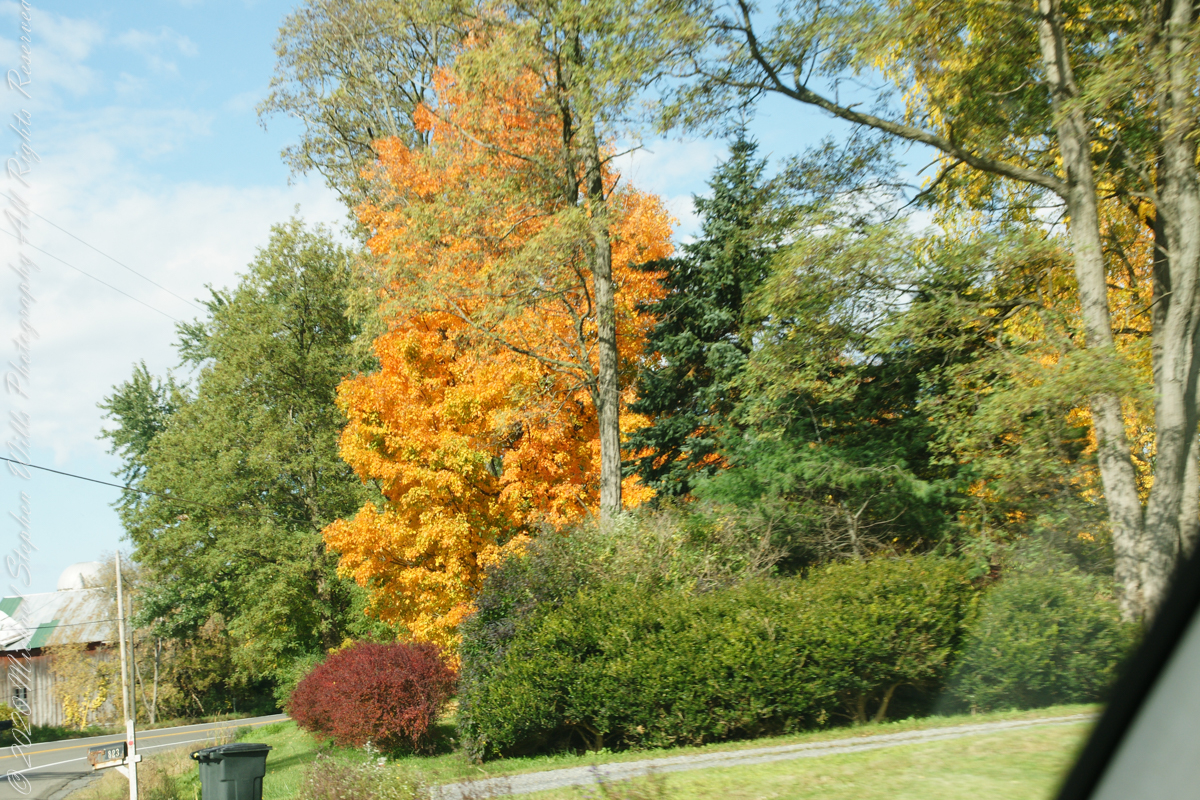
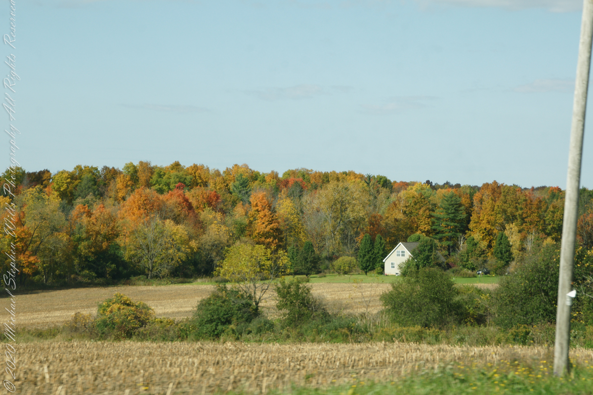
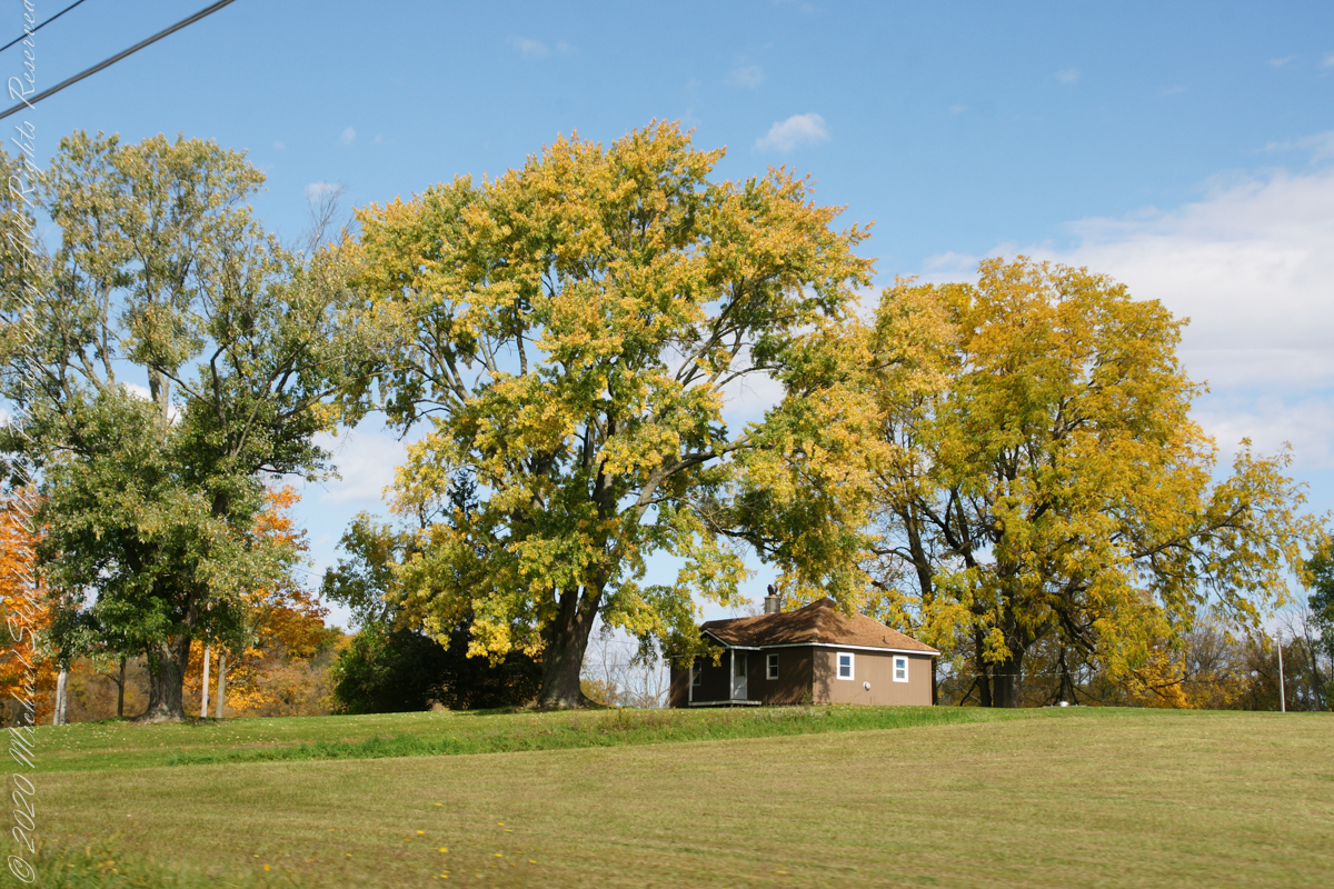
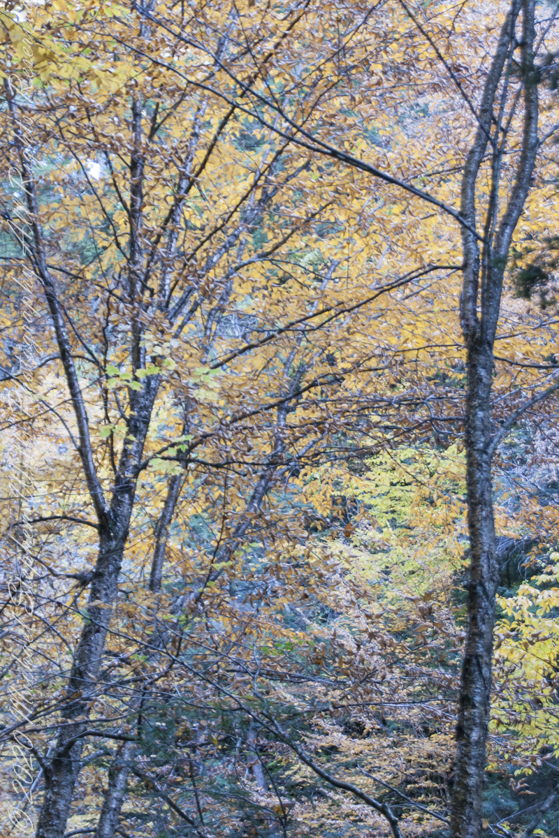
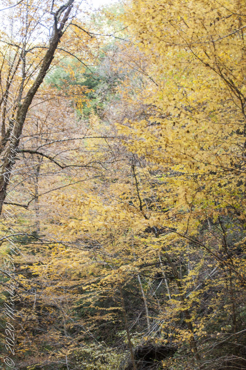
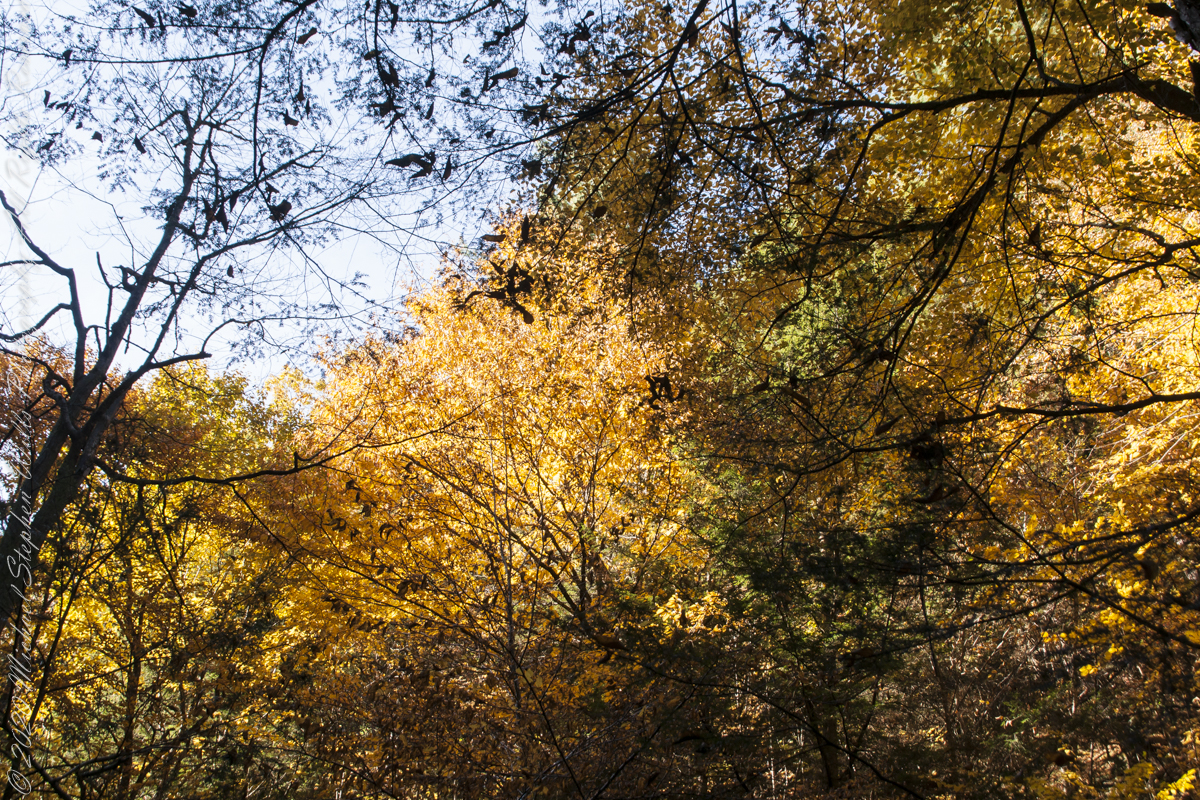
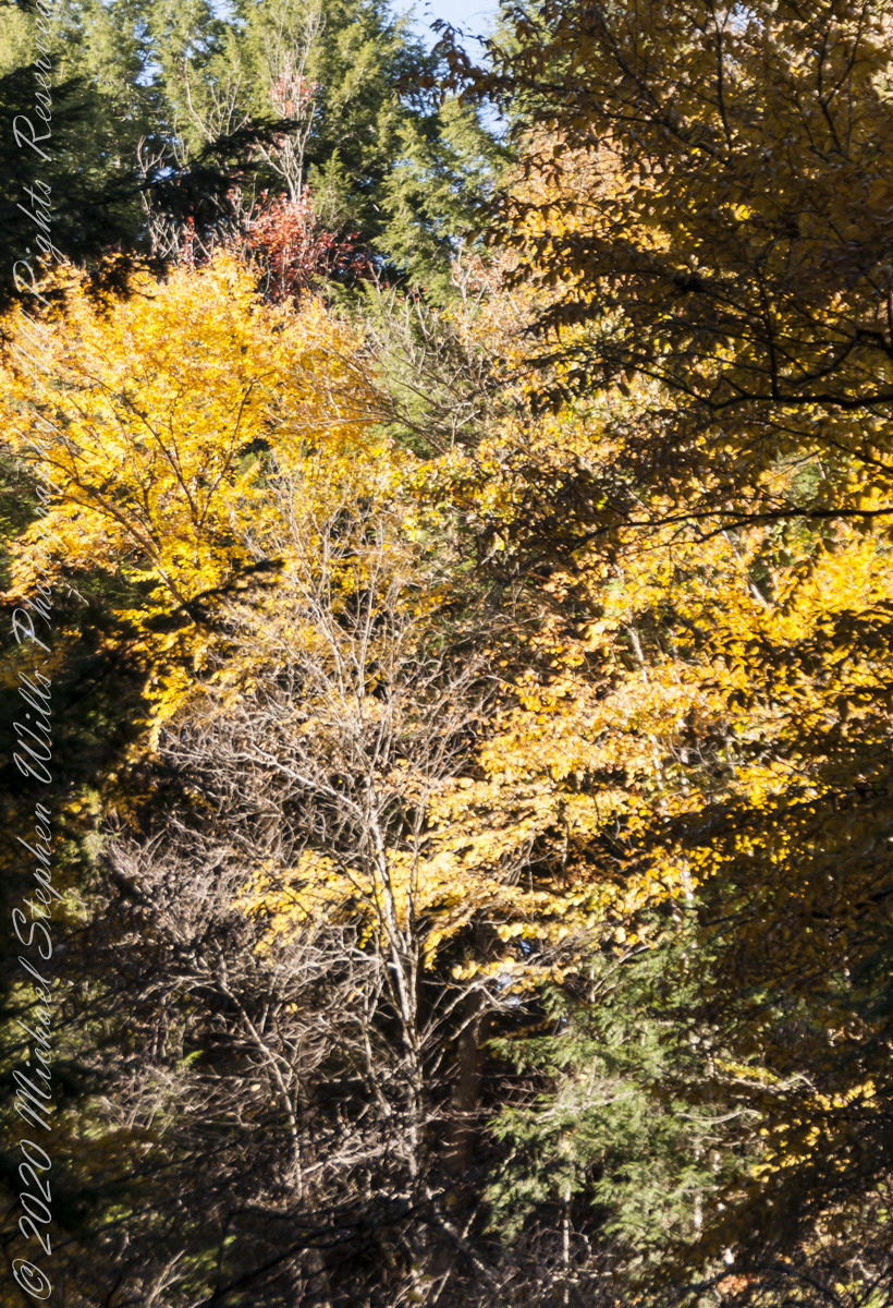
My Sony Alpha captured our October 16 drive to Fillmore Glen. As we traversed landscapes, the spectacle of Tompkins and Cayuga Counties autumn glory passed by the open passenger side window and, even, the front windshield. Thank You, Pam, for driving.
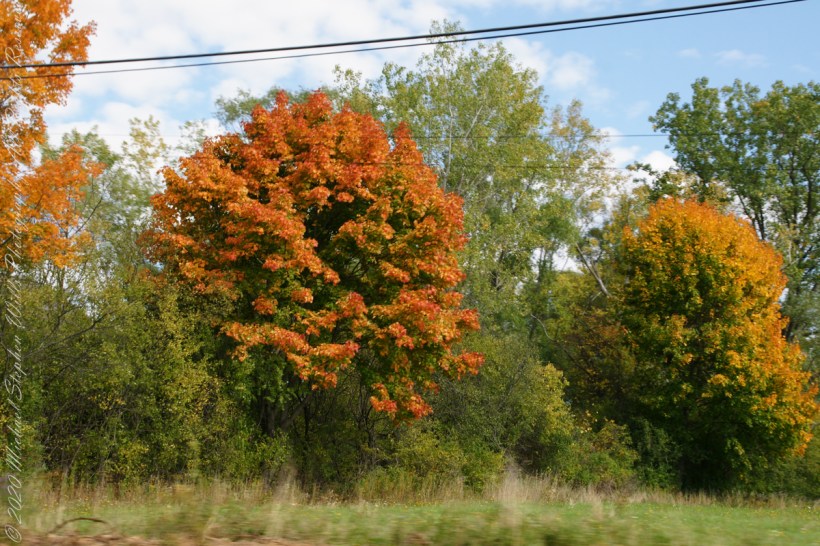
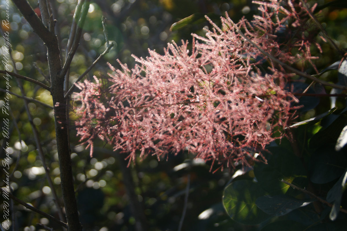
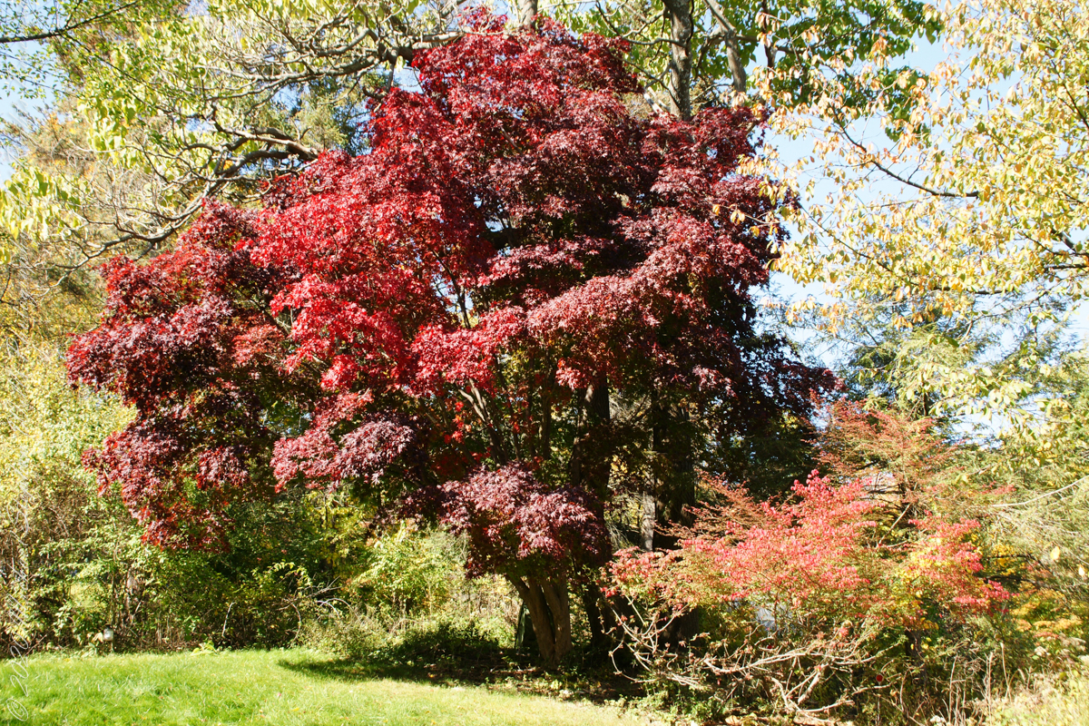
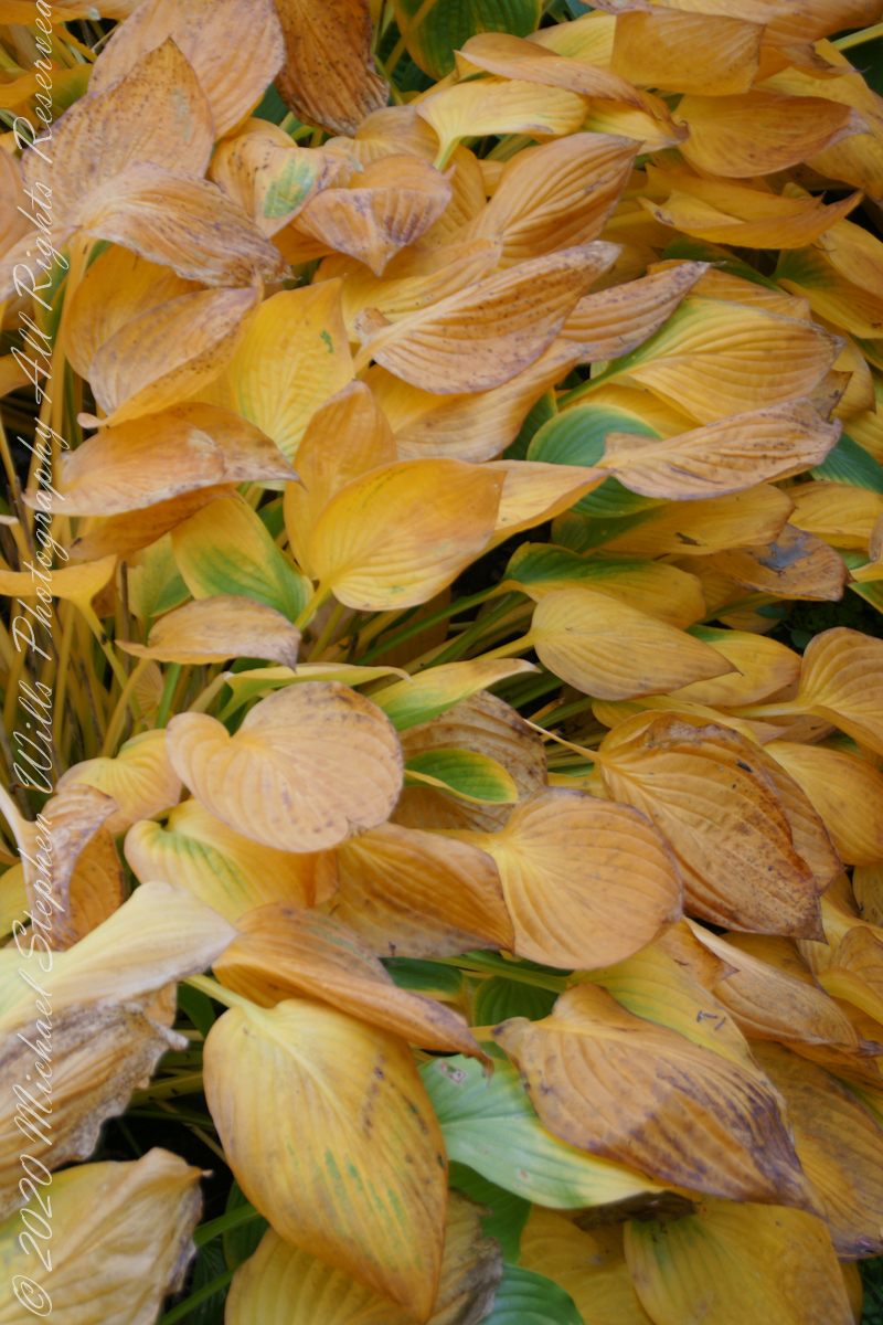
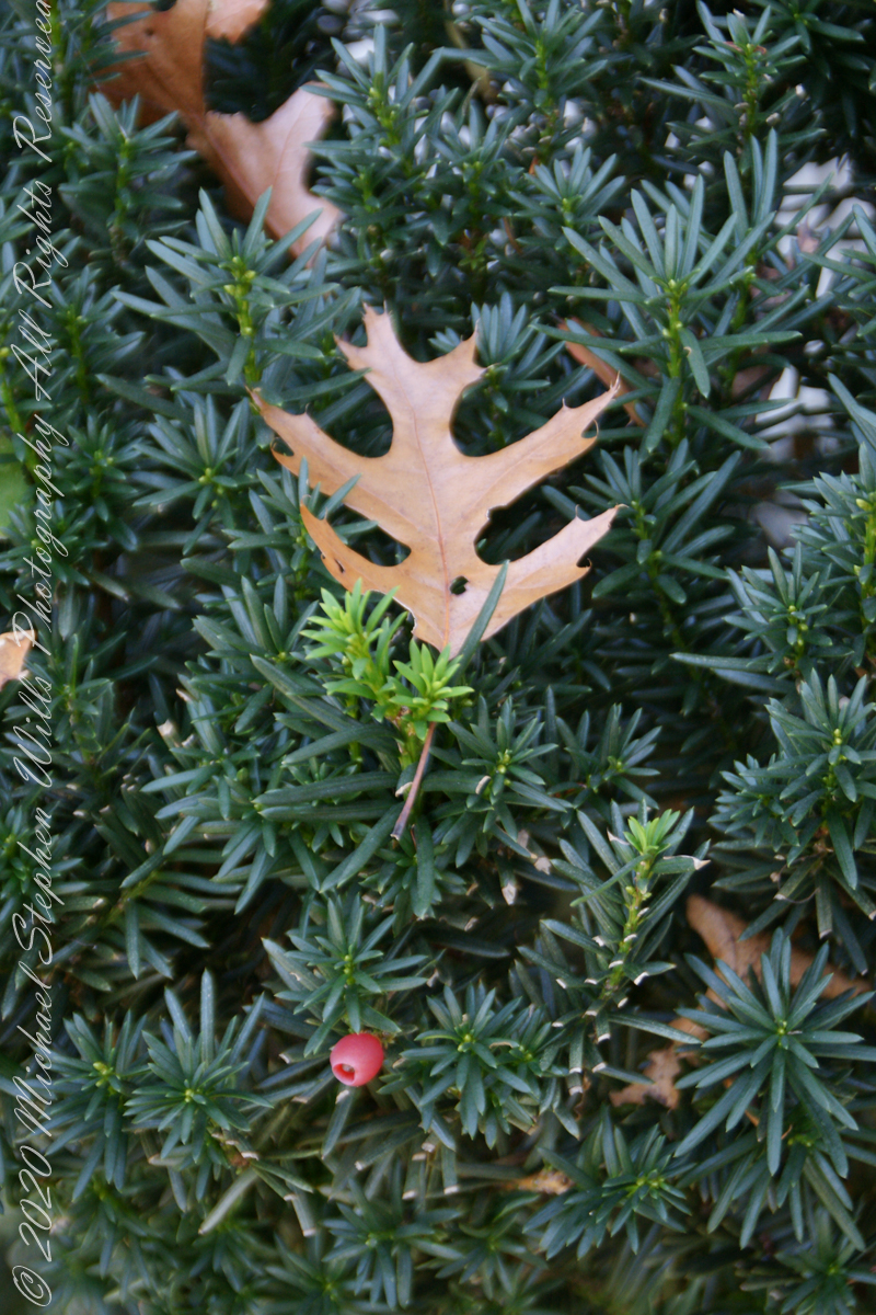
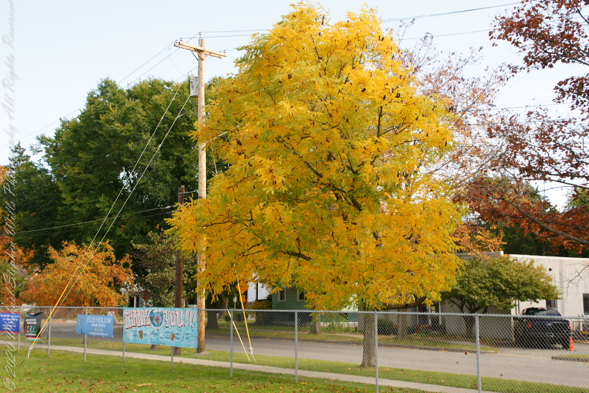
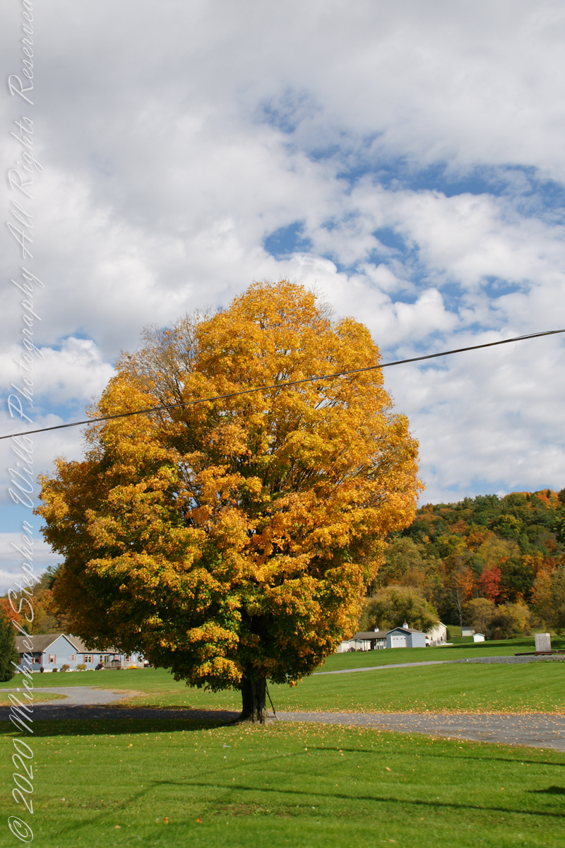
A turn around our home: Smoke tree, Japanese Maple, Pam’s flower baskets, fallen Oak leaves
.TT.
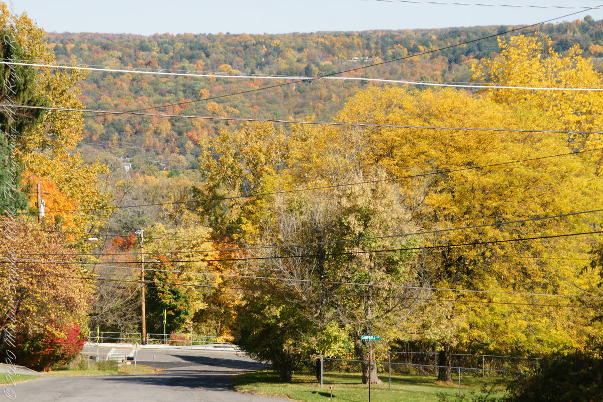
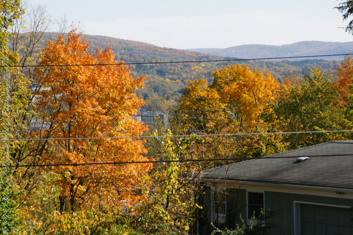
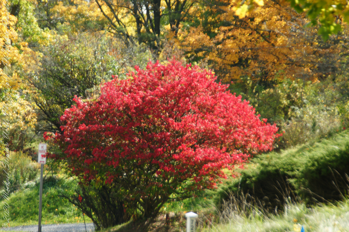
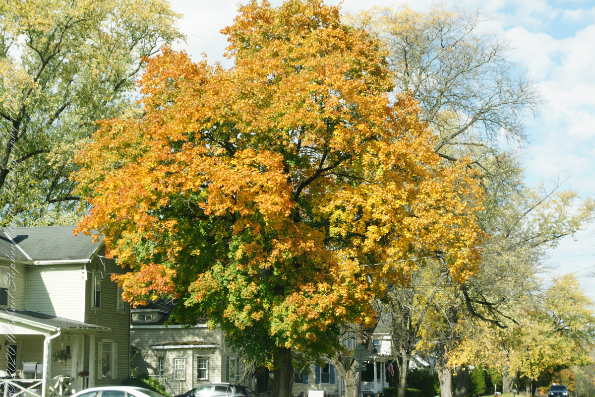
Panoramas from our front porch and on to Hector Street descending into and through Ithaca
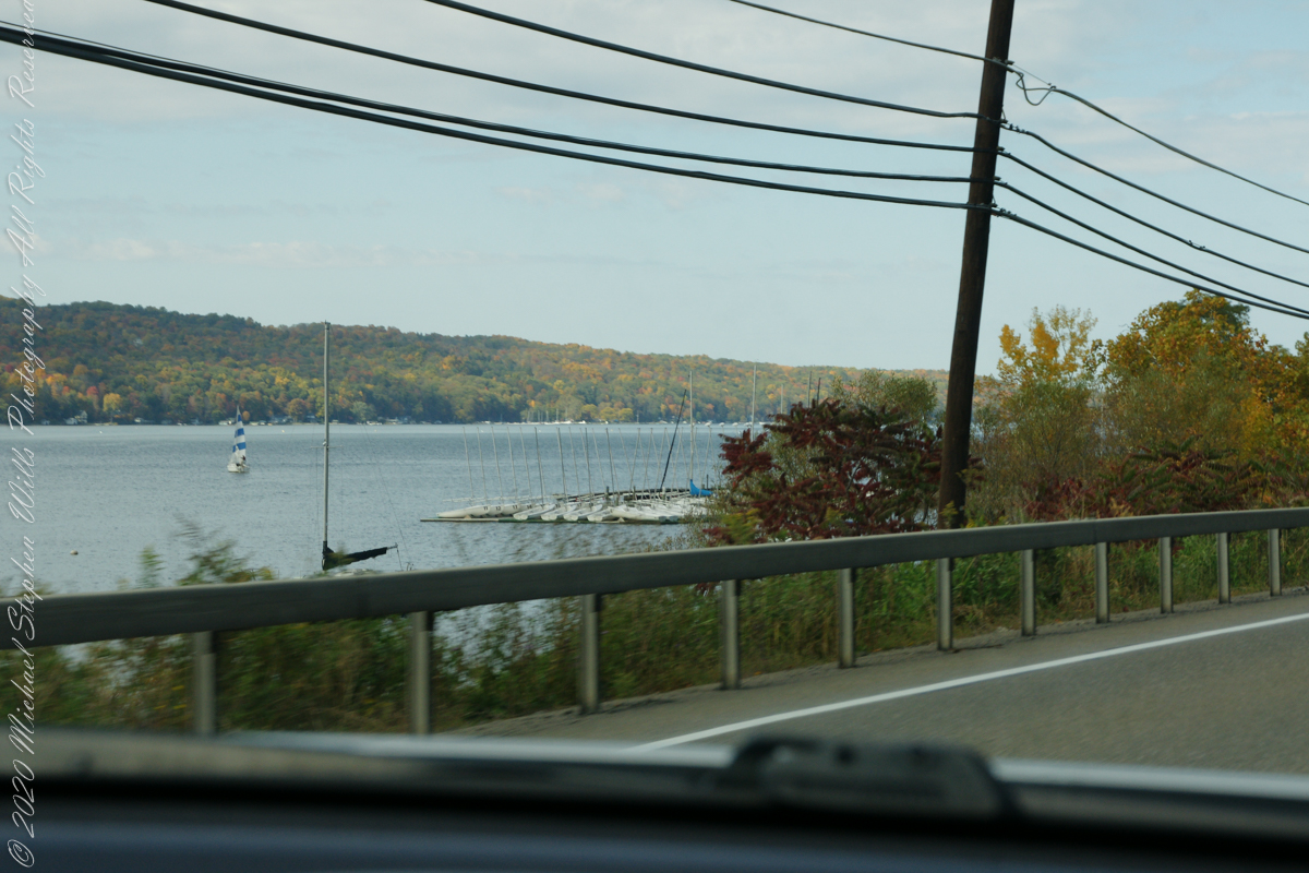
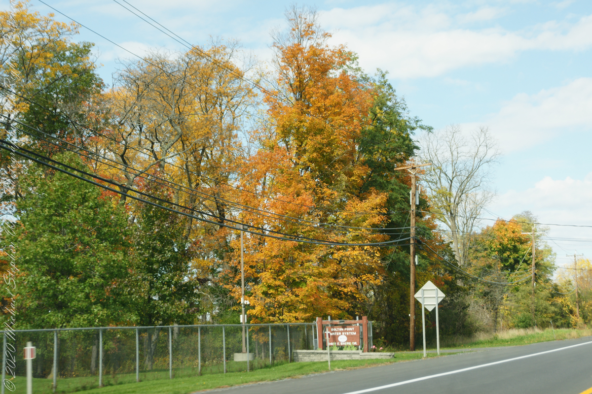
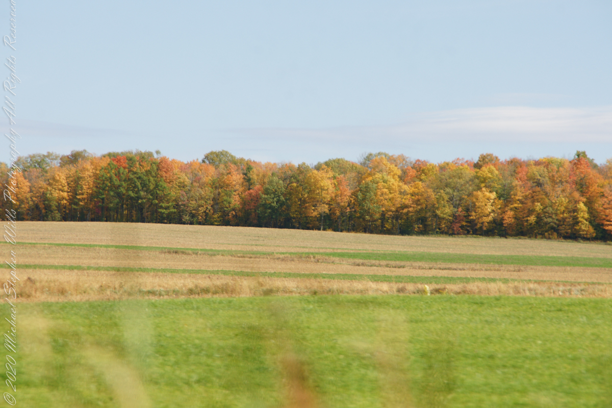
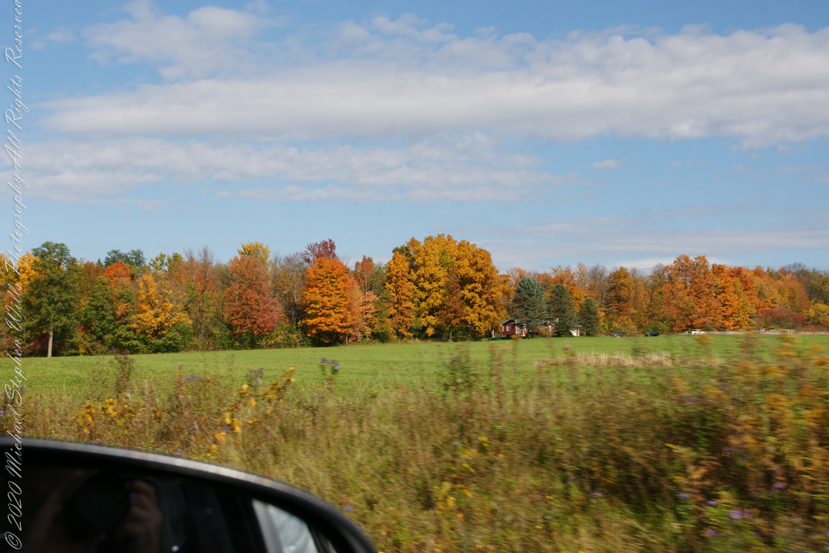
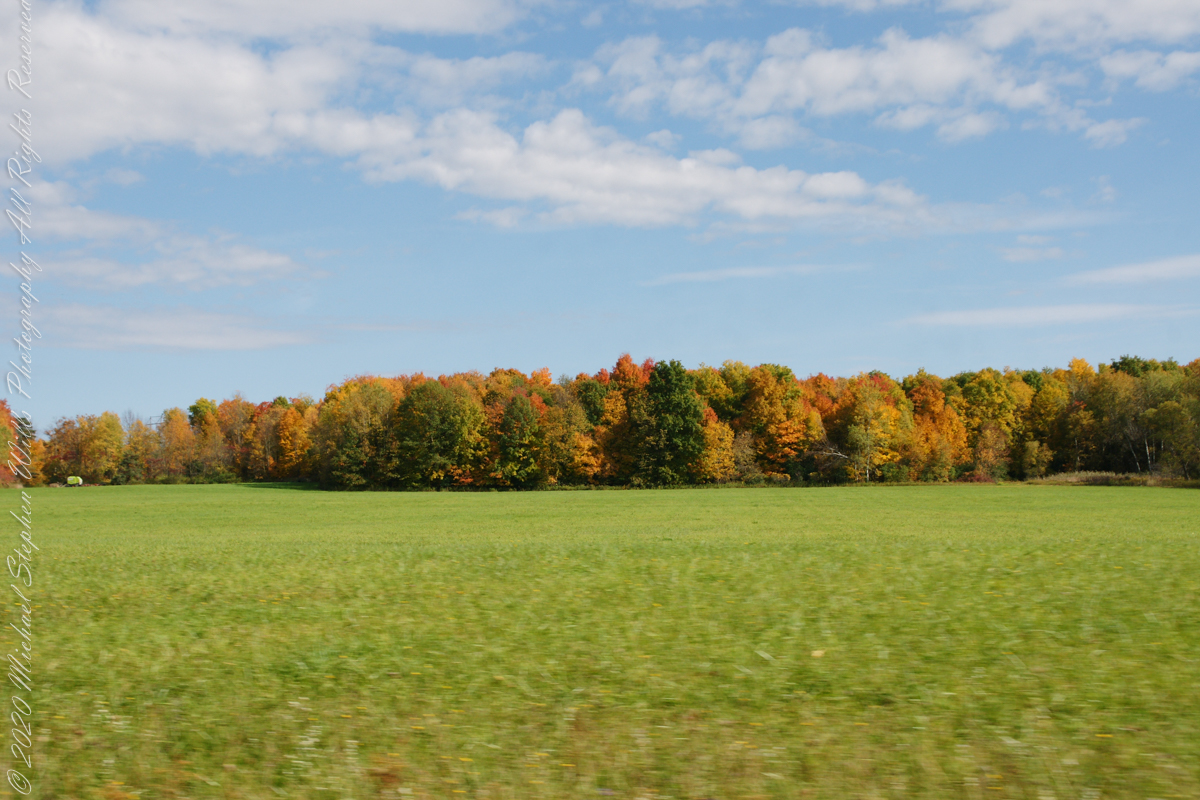
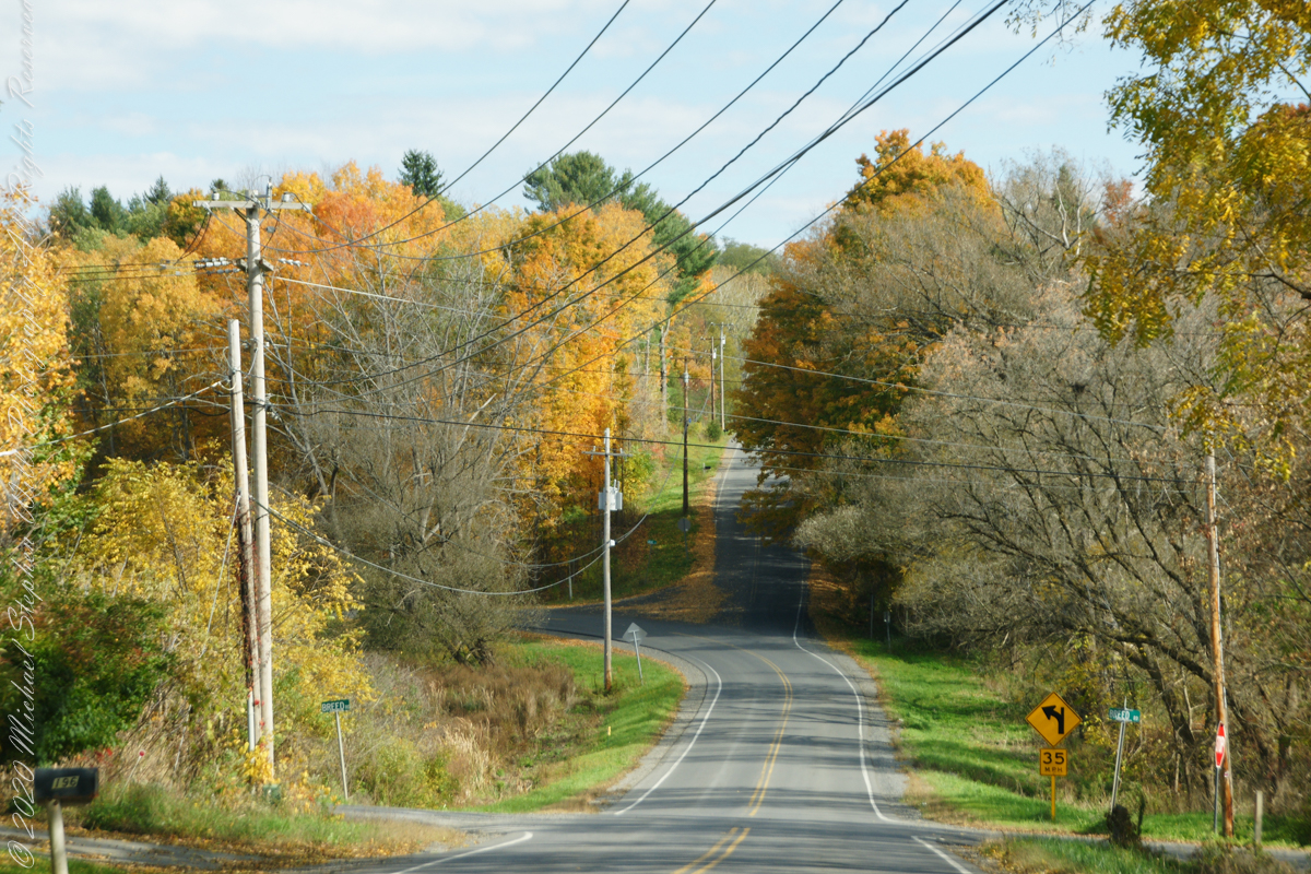
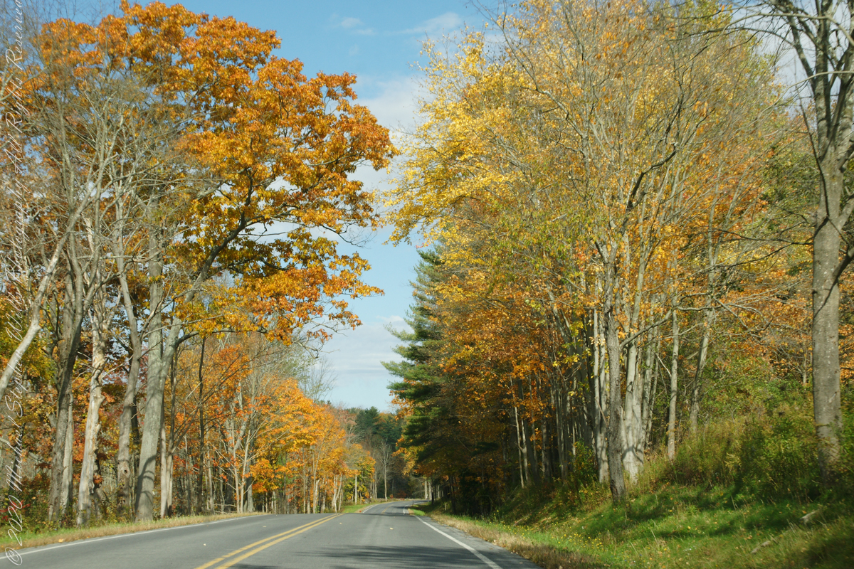
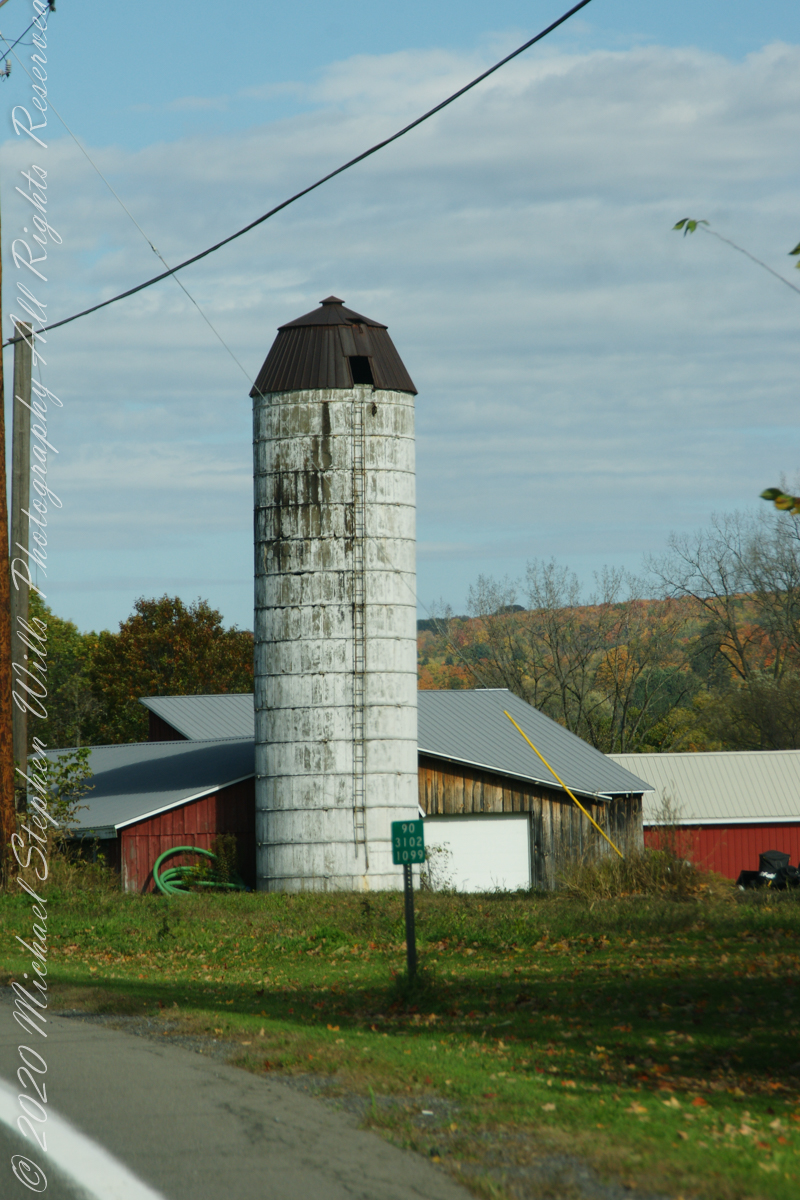
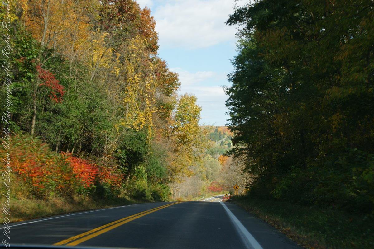
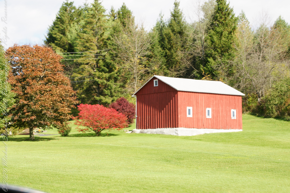
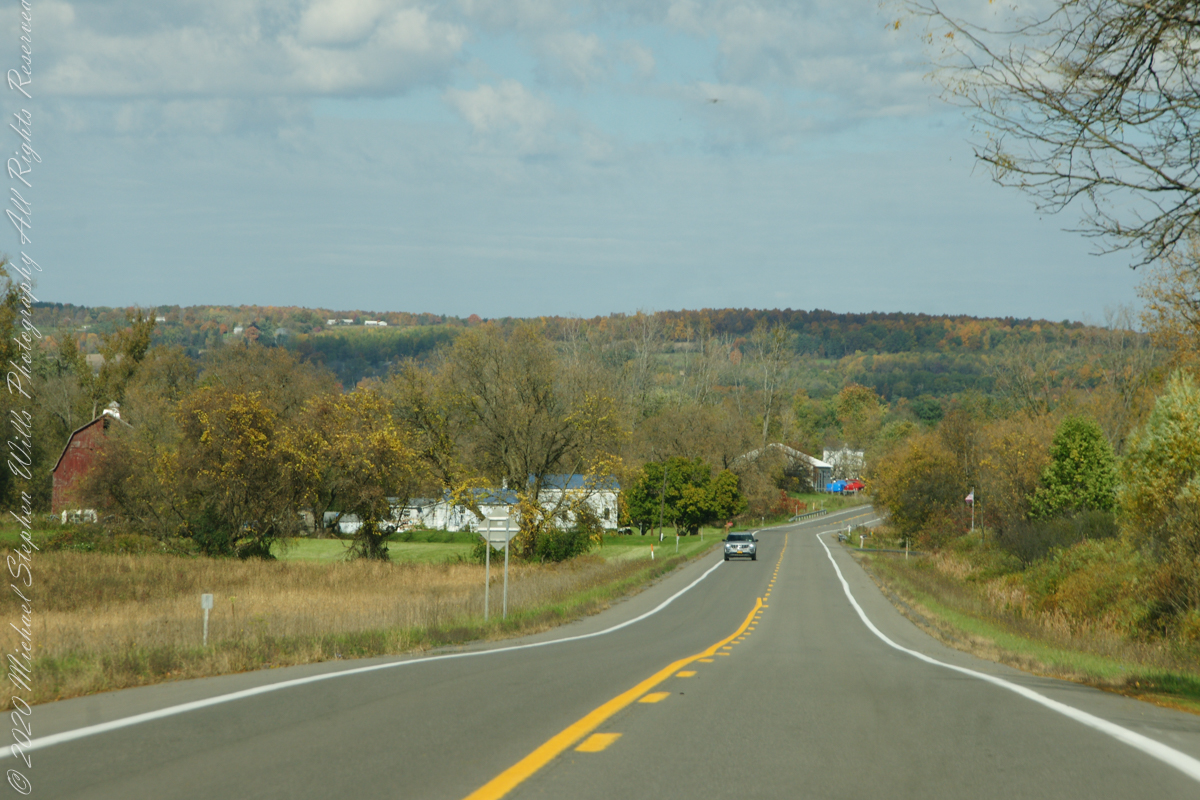
Headed up Route 34 along Cayuga Lake, into “Farm Country”
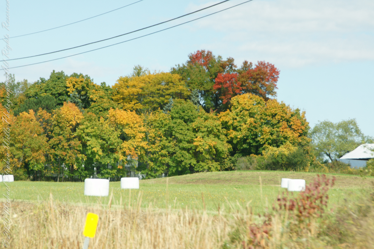
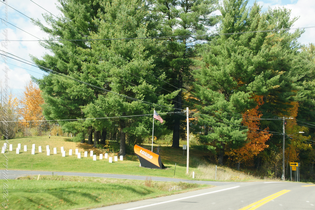
Turning onto Locke Road and crossing from Tompkins to Cayuga County
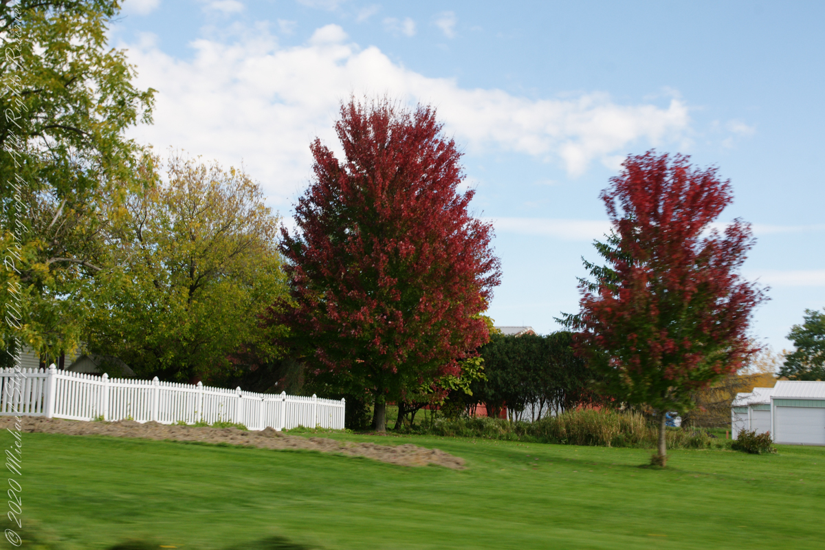
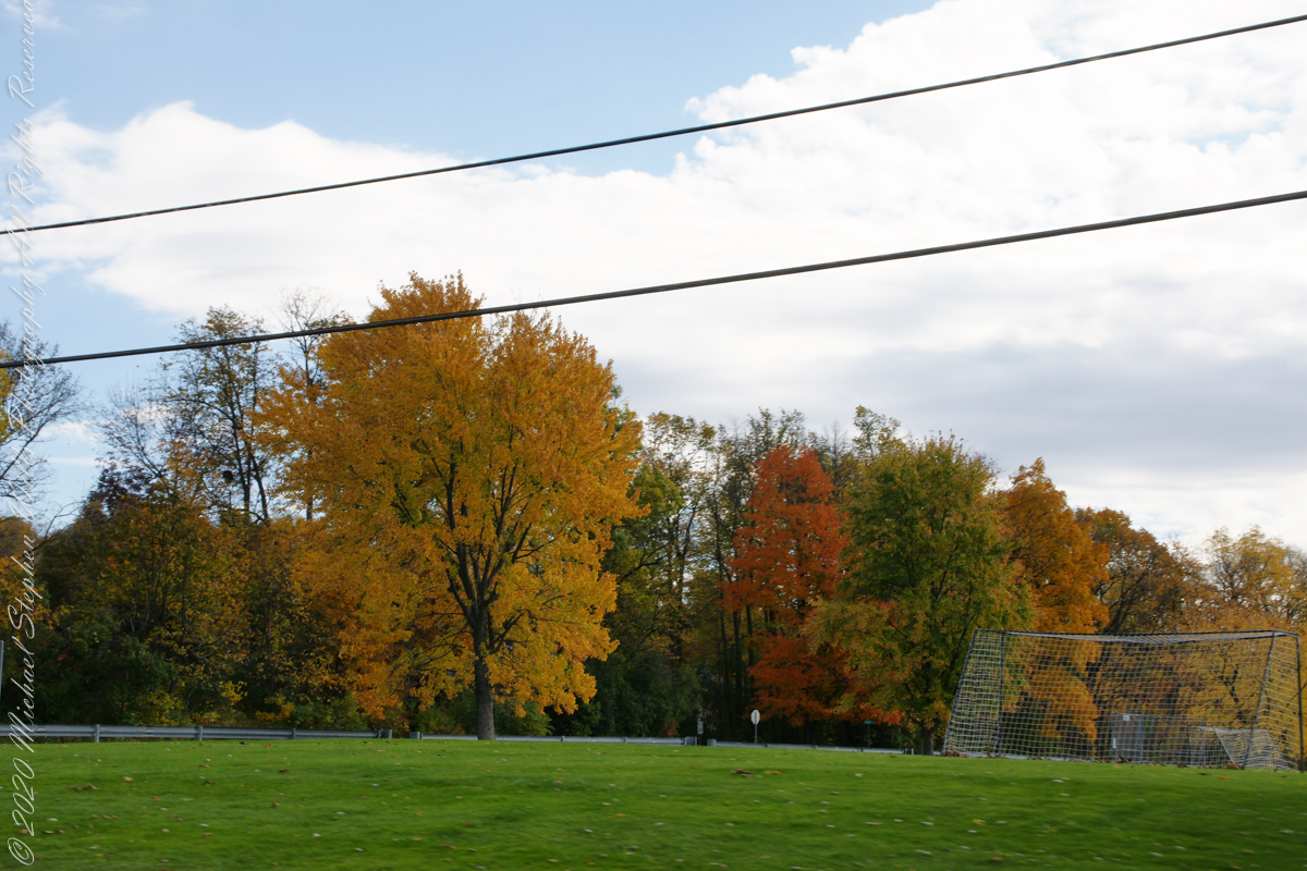
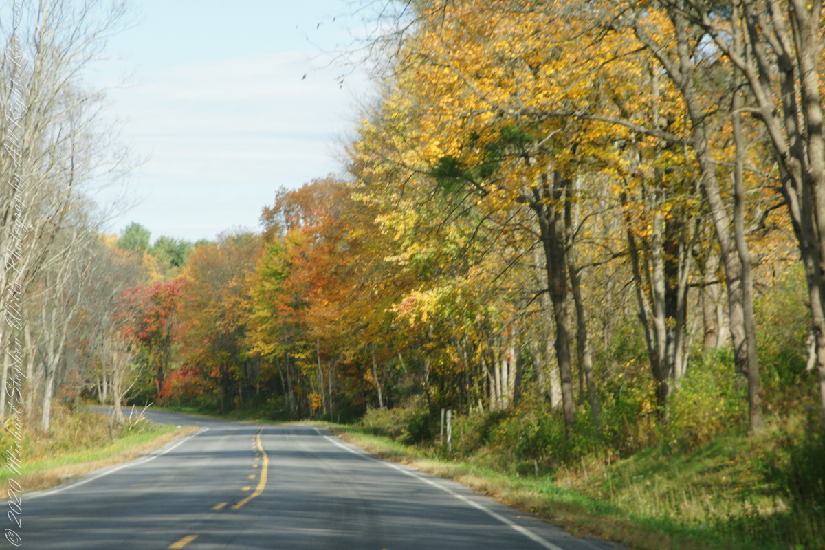
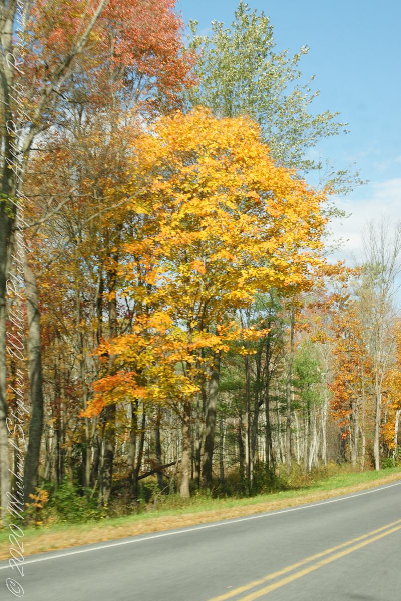
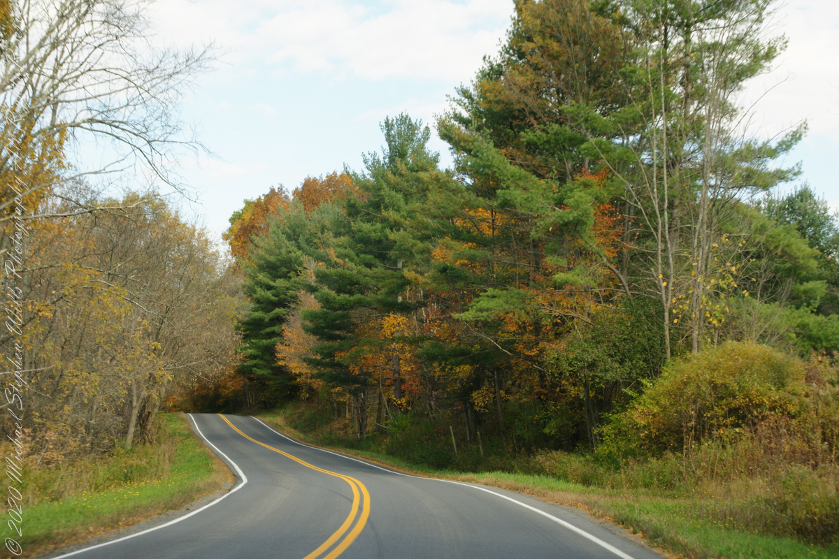
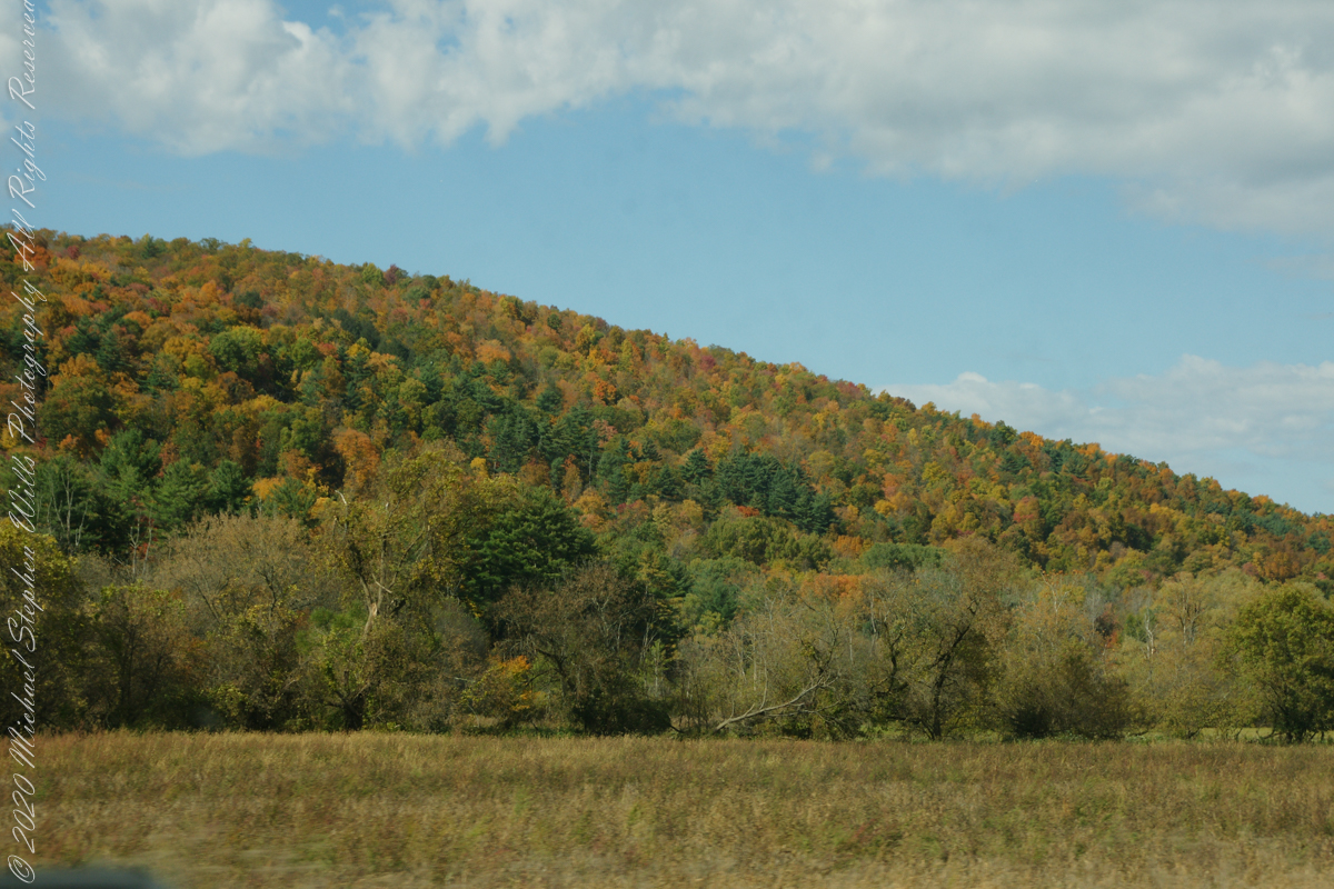
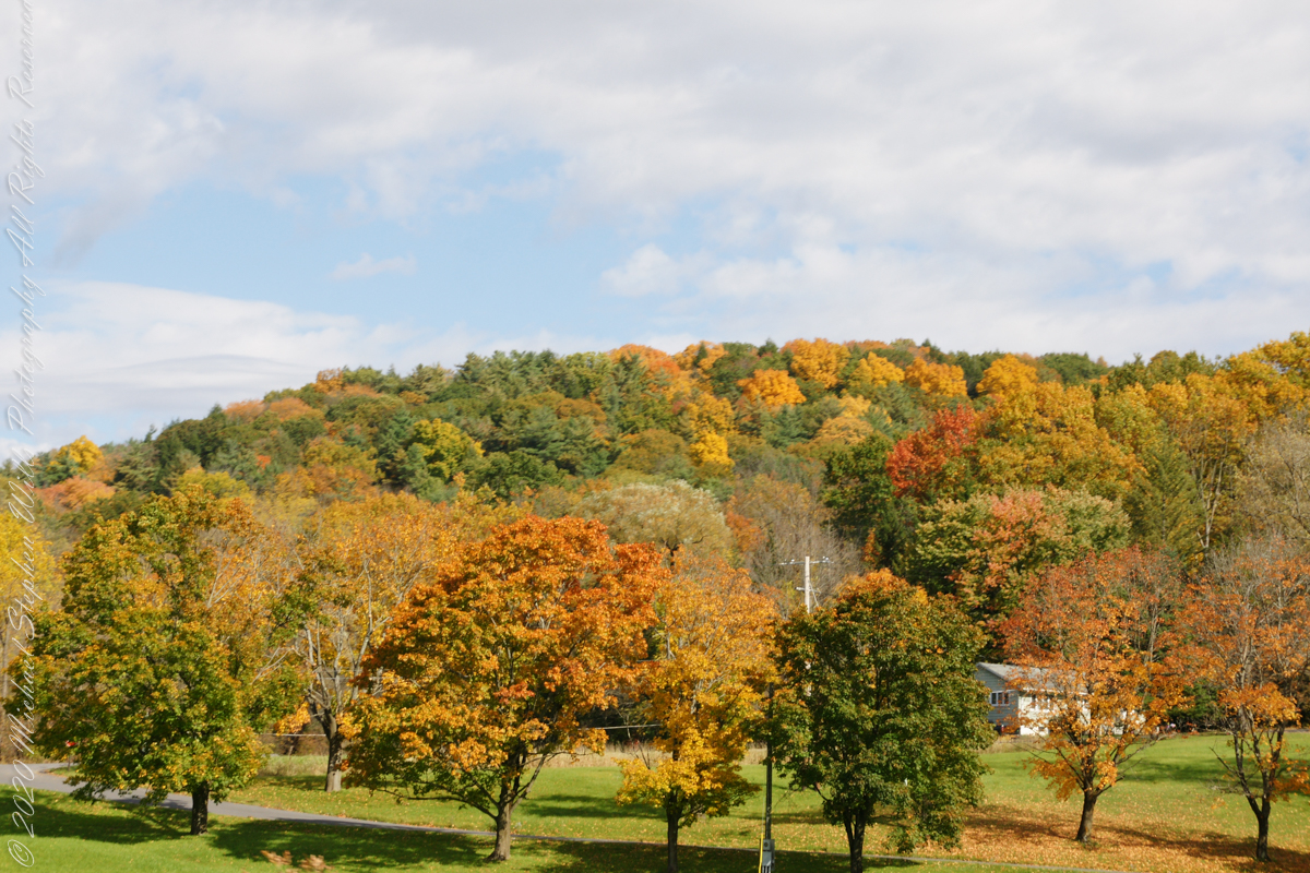
Travelling through Cayuga County, the town of Locke, then Moravia and Fillmore Glen State Park
..
This is my farewell to “Fall” for now.
Copyright 2022 All Right Reserved Michael Stephen Wills
My Sony Alpha was in use during our October 16 drive to Fillmore Glen. As we traversed landscapes, autumn glory of Tompkins and Cayuga Counties was captured. Thank You, Pam, for driving.
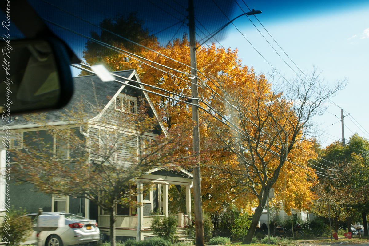
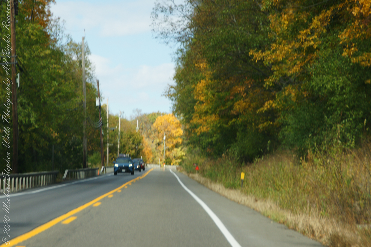
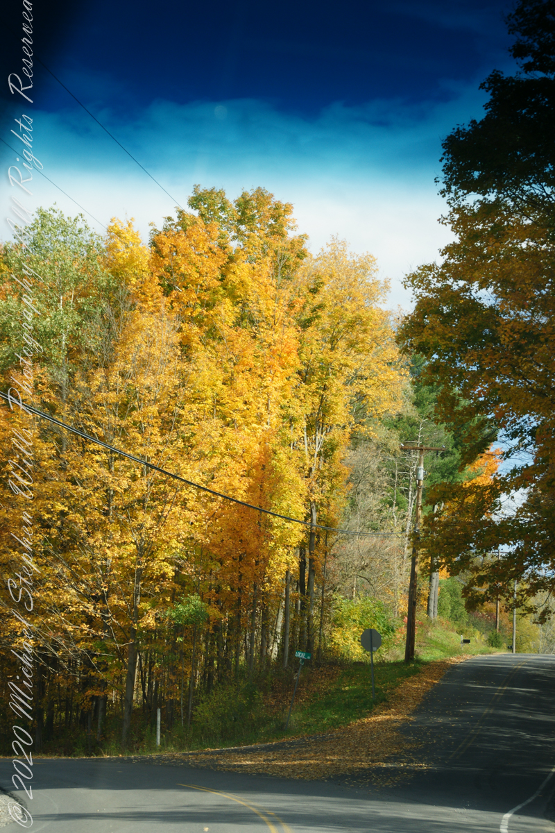
Heading today’s post is a windshield shot, I’m loving the effect of a golden road.
During our walk, I used the Sony Alpha for a parallel series of shots to compliment the tripod mounted Canon. Here are some of those results.
Step up and over
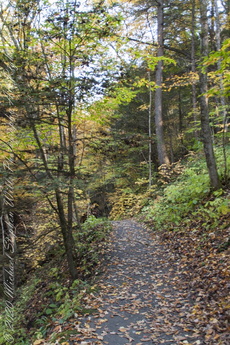
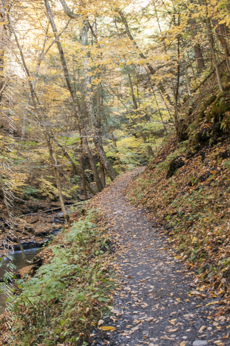
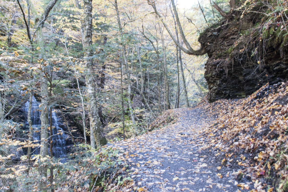
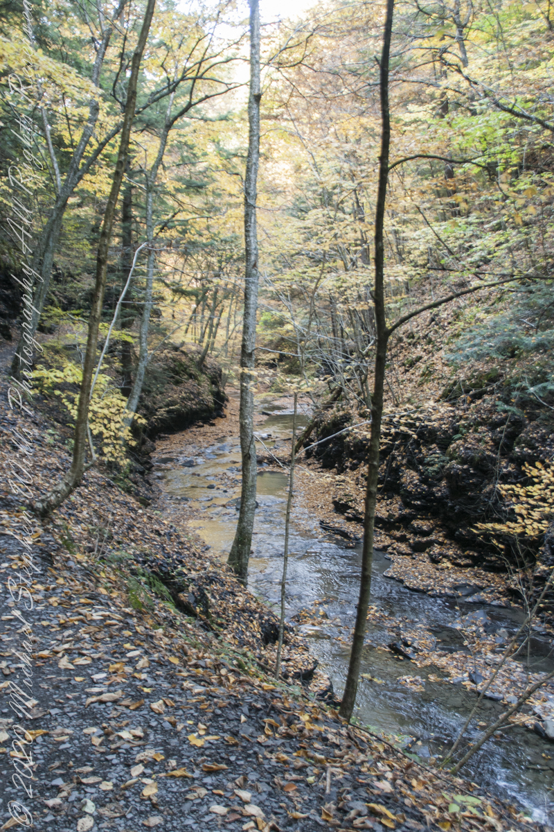
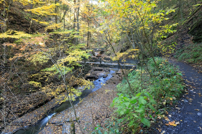
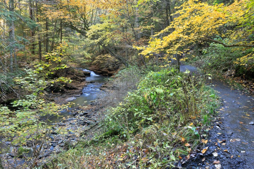
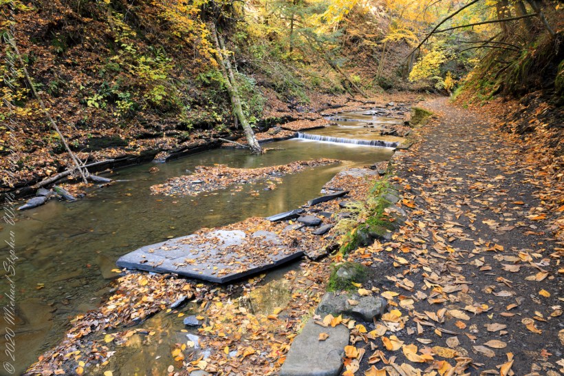
Enjoy this collection of Fillmore Glen pathways
AA
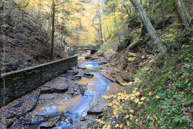
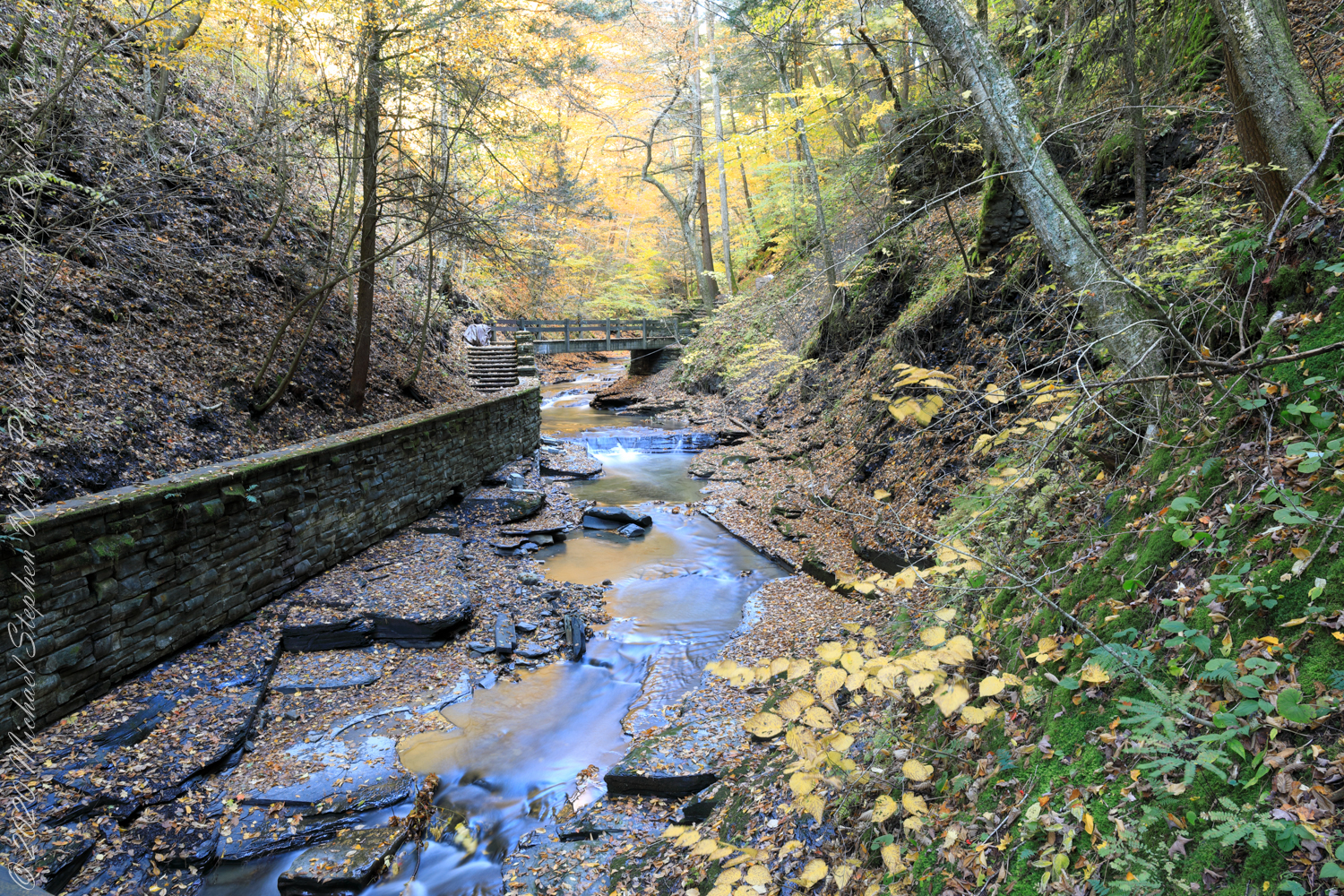
Fillmore Glen, New York State Park, Cayuga County, Moravia, New York
Copyright 2022 All Right Reserved Michael Stephen Wills
” I ventured up the gorge from bottom to this point where, blocked by an enormous shining emerald-colored ice wedge accumulated from the water pouring over the path in warmer months, I turned around”
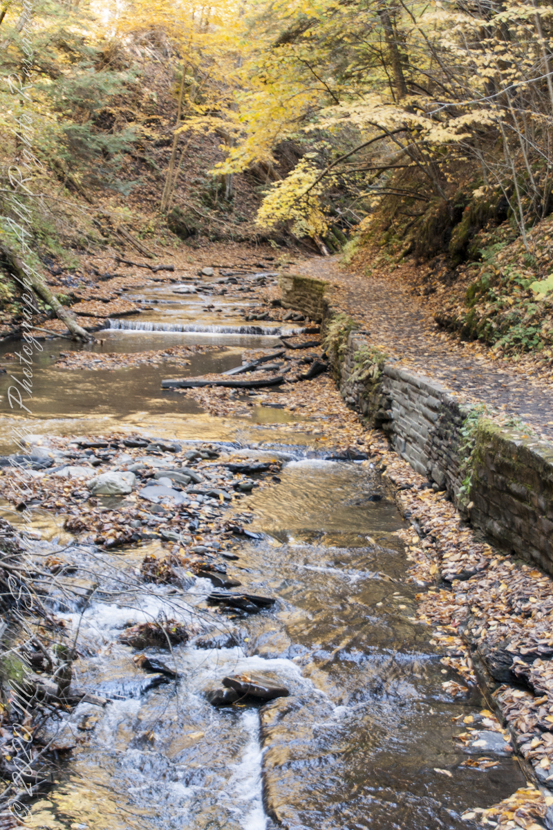
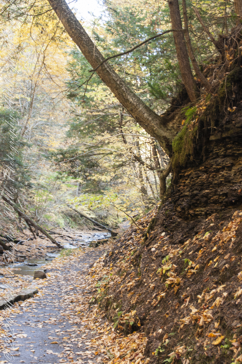
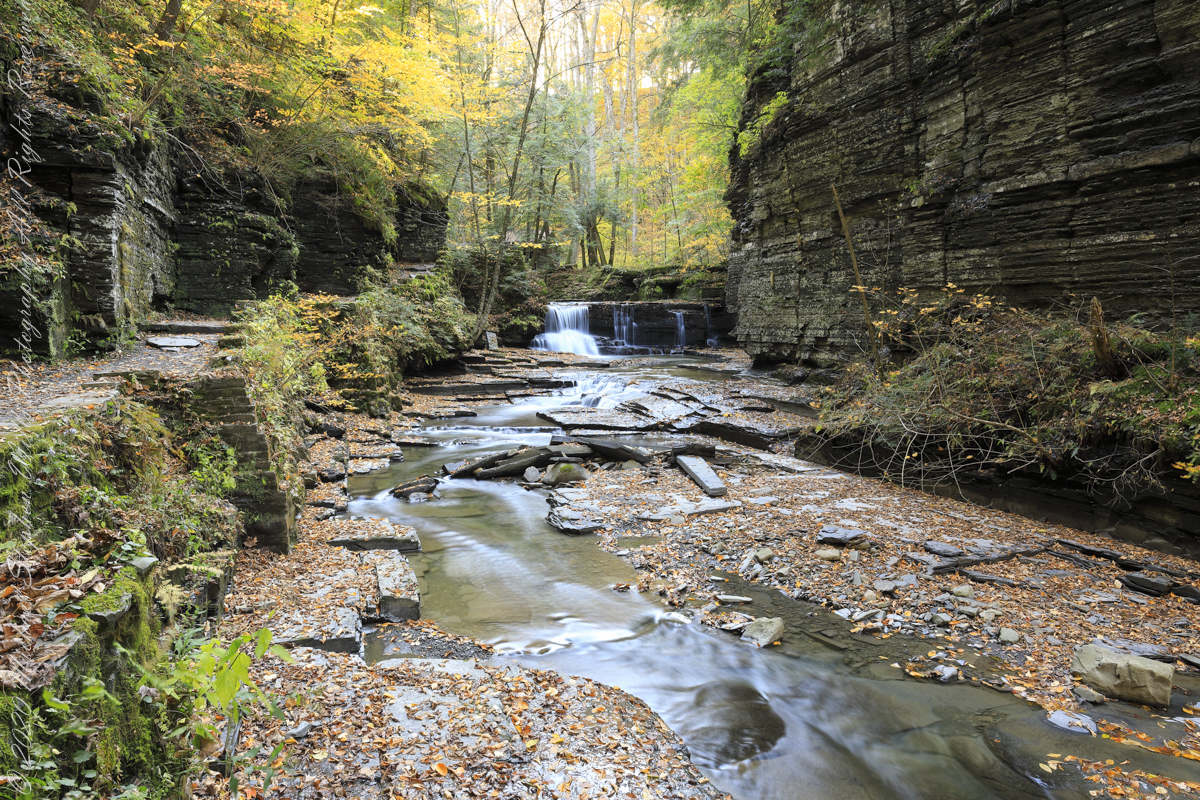
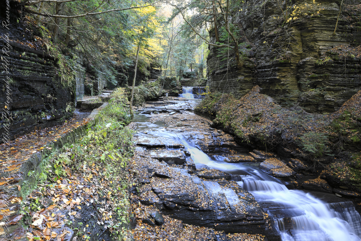
Between the metal walkway (see previous post) and the last numbered bridge, eight (8), the gorge narrows with sedimentary rock cliffs on either side, remnants of the forces that formed this rock in the form of water pouring from the porous stone flowing over the trail.
One February morning, equipped with climbing boots, crampons, gaiters, I ventured up the gorge from bottom to this point where, blocked by an enormous shining emerald-colored ice wedge accumulated from the water pouring over the path in warmer months, I turned around.
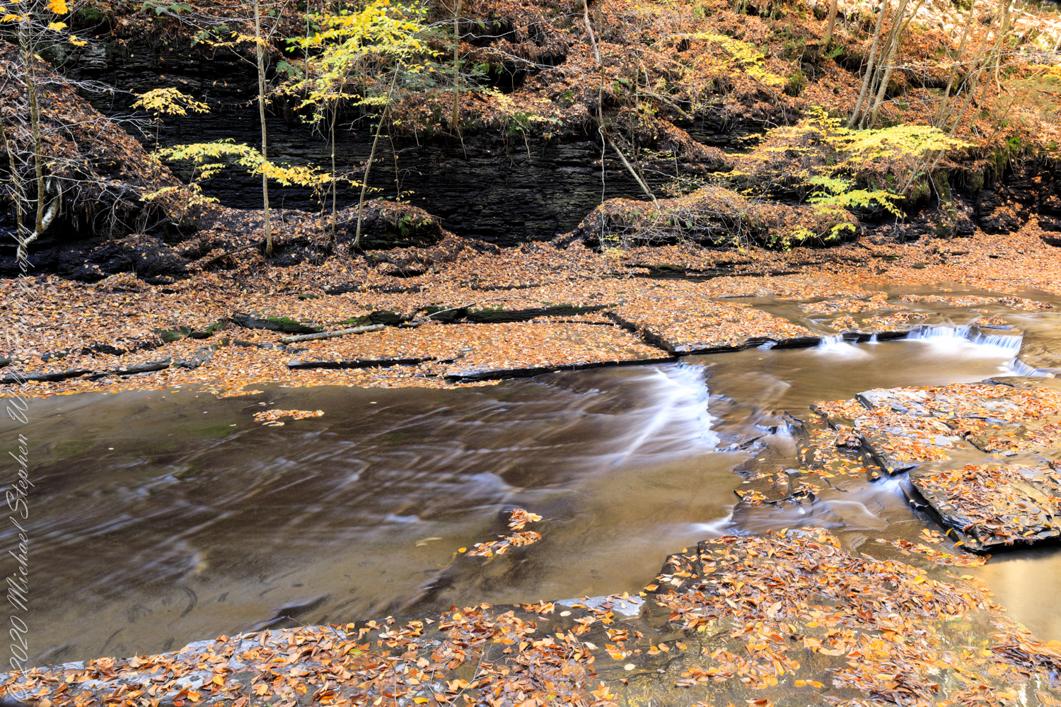
I call it a Waterfall Gallery for these walls bracing this wonderful collection of cascades in these photographs.
Waterfall gallery between bridges seven (7) and eight (8). Fillmore Glen, New York State Park, Moravia, Cayuga County, New York
A warm and cool versions of this spot.
Warm
Cool
Watch Your Step!!
Fillmore Glen, New York State Park, Cayuga County, Moravia, New York
Copyright 2022 All Right Reserved Michael Stephen Wills
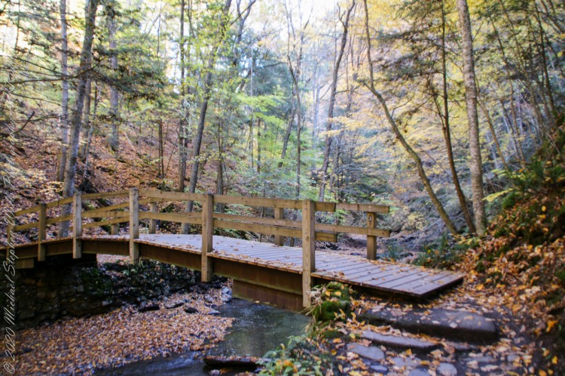
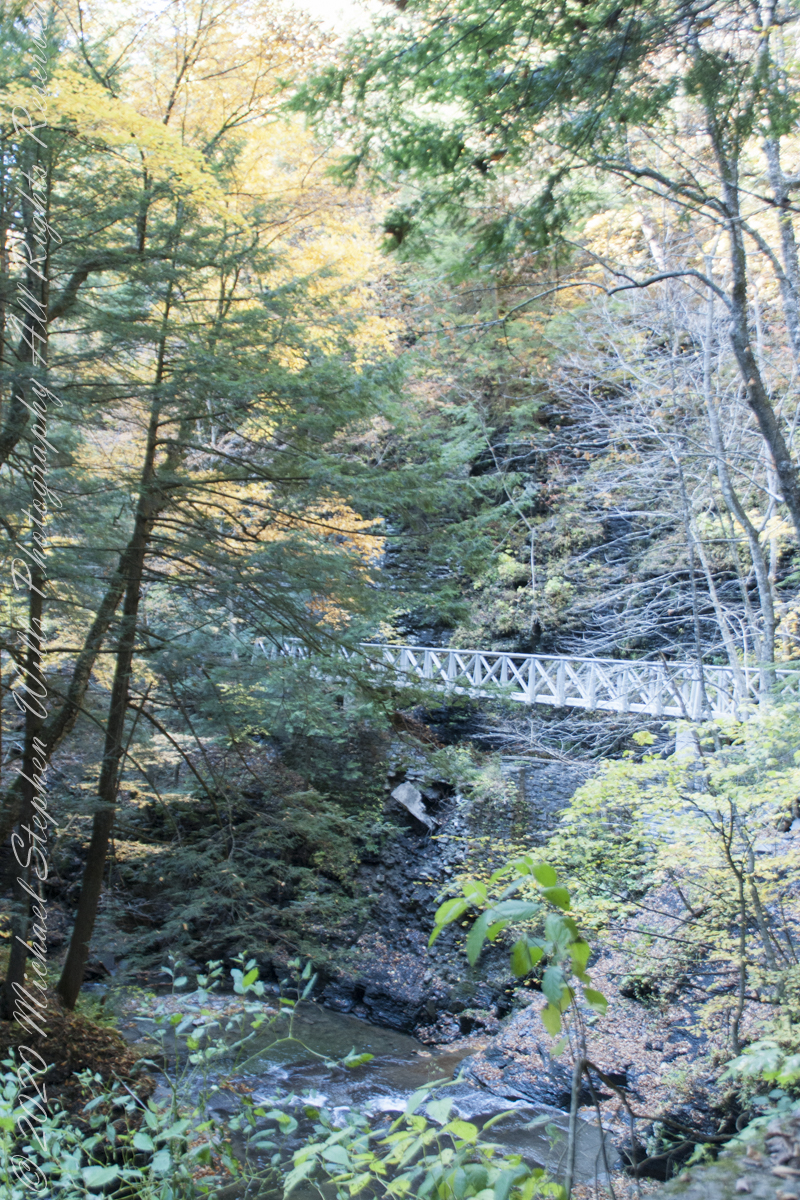
Crossing bridge seven (7), “Lovers’ Bridge, we encounter this passage, from the earliest work of the Civilian Conservation Corps of the 1930’s. Stairs carved into the Cambrian cliff. These images are a combination of handheld Sony Alpha dslr and tripod mounted Canon captures. Can you tell the difference (please comment on your insights).
View from the new walkway
Looking back to the walkway installed this year. This span does not cross Dry Creek, is not included in the bridge count.
Overhead, the glorious autumn canopy
Fillmore Glen, New York State Park, Cayuga County, Moravia, New York
Copyright 2022 All Right Reserved Michael Stephen Wills
The United States Civil Conservation Corps (CCC) Camp number SP 33, inaugurated May 1, 1934, Marathon New York, worked four years (1934-1938) to improve Fillmore Glen State Park.
Bridges Five (5) and Six (6)…..
We can see the work to maintain the CCC work continues today by the New York State Office of Parks, Recreation and Historic Preservation. Look closely to see the cable flowing from the south gorge rim (to right) by which the limestone, out of sight along the gallery, was lowered for this project. There are building supplies at Bridge Five and Six, both left in these photographs.
…the gallery and Bridge Six (6)…..
Fillmore Glen, Cayuga County, Moravia. In the Finger Lakes Region of New York State
Copyright 2022 All Right Reserved Michael Stephen Wills
A faint organic whiff of Paleozoic Era generations follows hikers enjoying the Gorge Trail, an odor luring contemporary treasure seekers thankfully spurned by the December 2014 New York State fracking ban. Thanks to Governor Andrew Cuomo’s leadership, the ban protects public health, drinking water, the environment, local economies based on agriculture, tourism and small businesses. The ban on fracking sets the New York State apart for its climate leadership by leaving fossil fuels in the ground while the state simultaneously leads the nation in expanding renewable energy.
A plentitude of waterfalls…..
…bridge number 5…..
Fillmore Glen, Cayuga County, Moravia. In the Finger Lakes Region of New York State
Copyright 2022 All Right Reserved Michael Stephen Wills
We walk the Gorge Trail surrounded by the remains of two mountain ranges (the Taconic and Acadian) as high or higher than the Himalayas. Humbled by the fullness of time the mountains persist, now as this layered, fractured, water and frost battered rock. When the first grains flowed here the Earth’s day was 22 hours, a year 400 days, the Moon’s relative closeness moved tides higher. Four billion years ago, the first formed Moon was only 3.8 Earth radii, 15,000 miles, away. Today, a half billion years after the Cambrian, the distance averages 30 Earth radii (250,000 miles) and increasing at the almighty’s pace through the daily round of tides.
notice the right angles of fracture…..
…the angles record the changing directions of pressure of the continent against Africa as tectonic plates shifted.
Fillmore Glen, Cayuga County, Moravia. In the Finger Lakes Region of New York State
Copyright 2022 All Right Reserved Michael Stephen Wills