High Lagoon, Chinchero, Peru

Here, water boils at 191 degrees Fahrenheit, not 212.

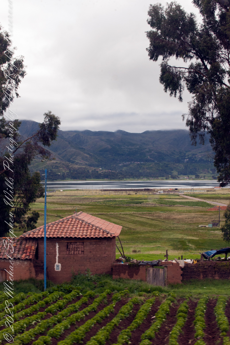
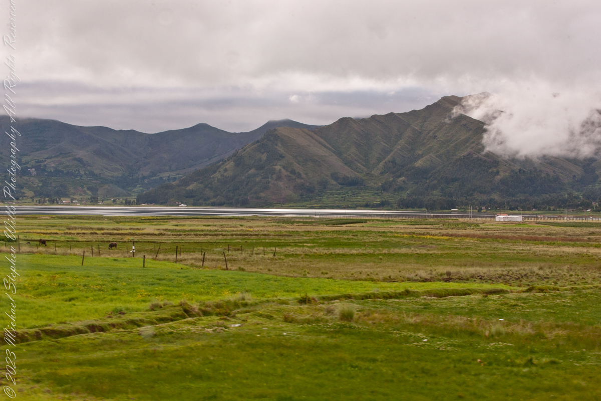
As seen from Avenue del EjércitoIts near Chinchero, Peru. Lagoon waters lap the distant, terraced andean foothills, look closely to see fish drying racks on the near shore, 11,270 feet altitude. Here, water boils at 191 degrees Fahrenheit, not 212.

Click Me for my Online Gallery

Puray comes from an ancient legend narrated by the settlers, where, the Sun god asked Manco Capac that his twin sons accompany him in his sunset and when the time came, they discovered that the son who walked farther had become the Huaypo (Huaypo) Lagoon (9 miles west) and the daughter in the Piuray (Puray) Lagoon.

In this photograph, distant cattle graze against backdrop of the lagoon and andean foothills.
Puray lagoon is located in the upper part of the Sacred Valley of the Incas, southeast of Chinchero and 19 miles northwest of Cusco. The Piuray (Puray) Lagoon is a source of water of surface origin. It is one of the most important sources of the city of Cusco, as it supplies 42% of drinking water in the city as well as the Sacred Valley of the Incas and other provinces of the region. It was the Incas who carried Piuray (Puray) Lagoon water to the imperial city (Cusco) through underground aqueducts. Quechua natural region, Peru

Copyright 2023 Michael Stephen Wills All Rights Reserved

Cusco Hills, Peru

Ancient Farming Technique

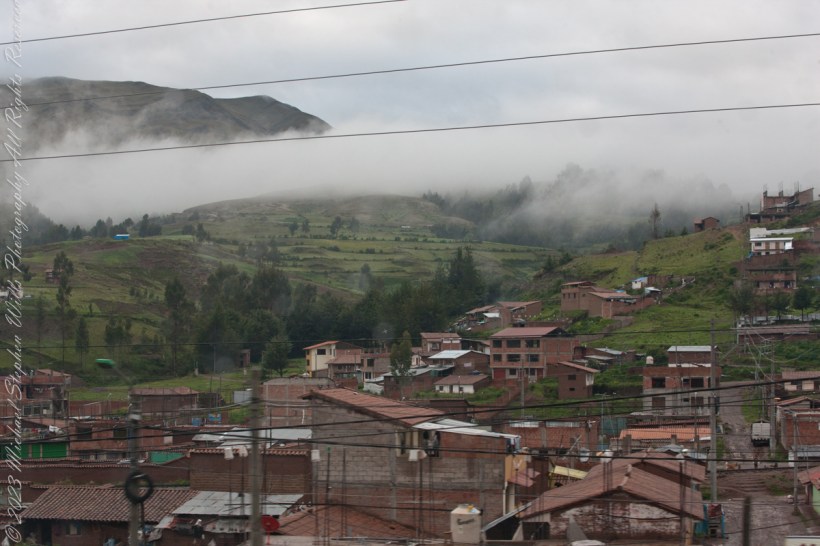
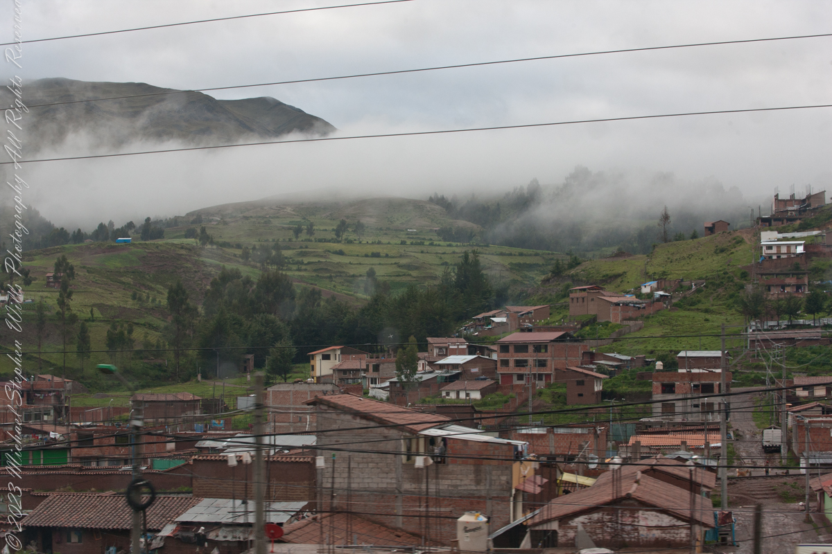
Here we are, passing the outskirts in the hills surrounding Cusco, Peru. Route 3S, going under various names. Highland Road (North) (Longitudinal de la Sierra Norte)Highway, climbs out of Cusco in broad switchbacks.

Click Me for my Online Gallery

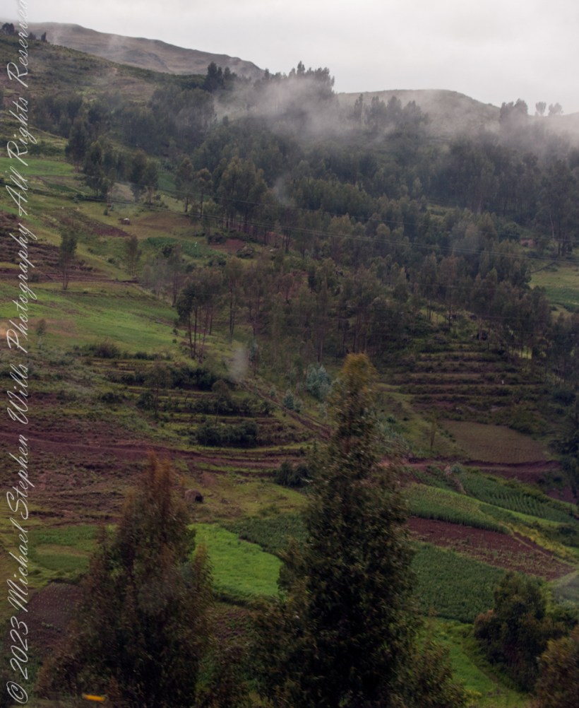
View of terraced fields from route 3S through the hills above Cusco, Peru. “In the South American Andes, farmers have used terraces, known as andenes, for over a thousand years to farm potatoes, maize, and other native crops.“

“Terraced farming was developed by the Wari culture and other peoples of the south-central Andes before 1000 AD, centuries before they were used by the Inca, who adopted them. The terraces were built to make the most efficient use of shallow soil and to enable irrigation of crops by allowing runoff to occur through the outlet. The Inca people built on these, developing a system of canals, aqueducts, and puquios to direct water through dry land and increase fertility levels and growth. These terraced farms are found wherever mountain villages have existed in the Andes. They provided the food necessary to support the populations of great Inca cities and religious centers such as Machu Picchu.“

Reference: “Terrace (earthworks)” Wikipedia

Copyright 2023 Michael Stephen Wills All Rights Reserved

On Point at the Cusco Saturday Market reprise

Marketing choices

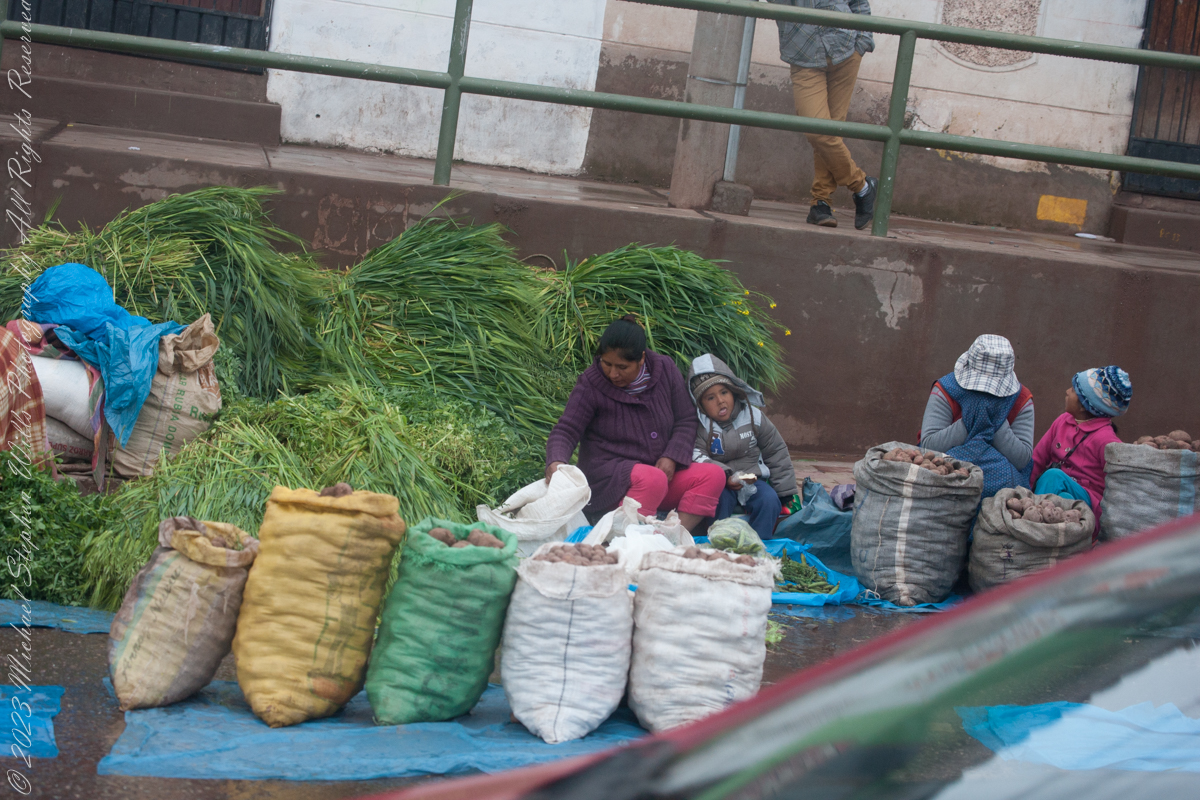
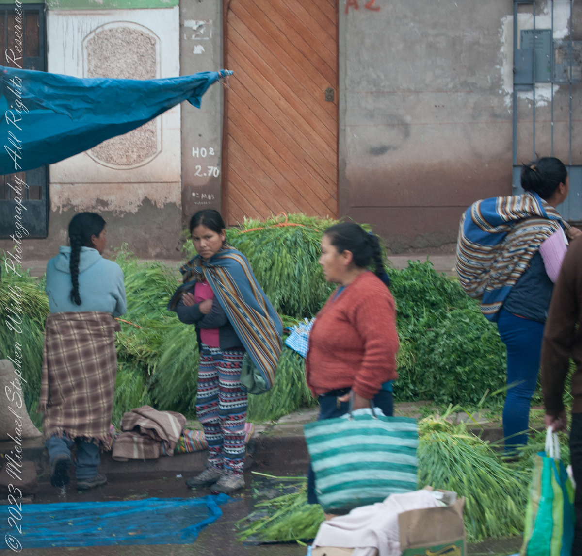
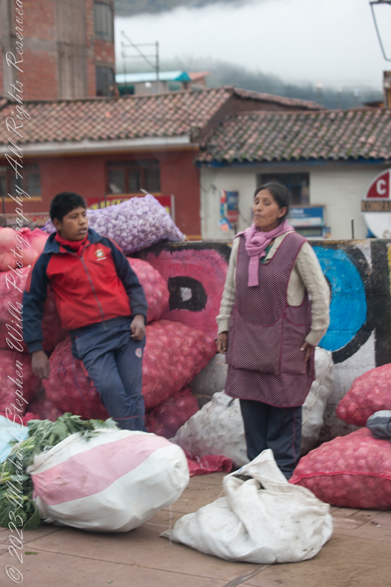
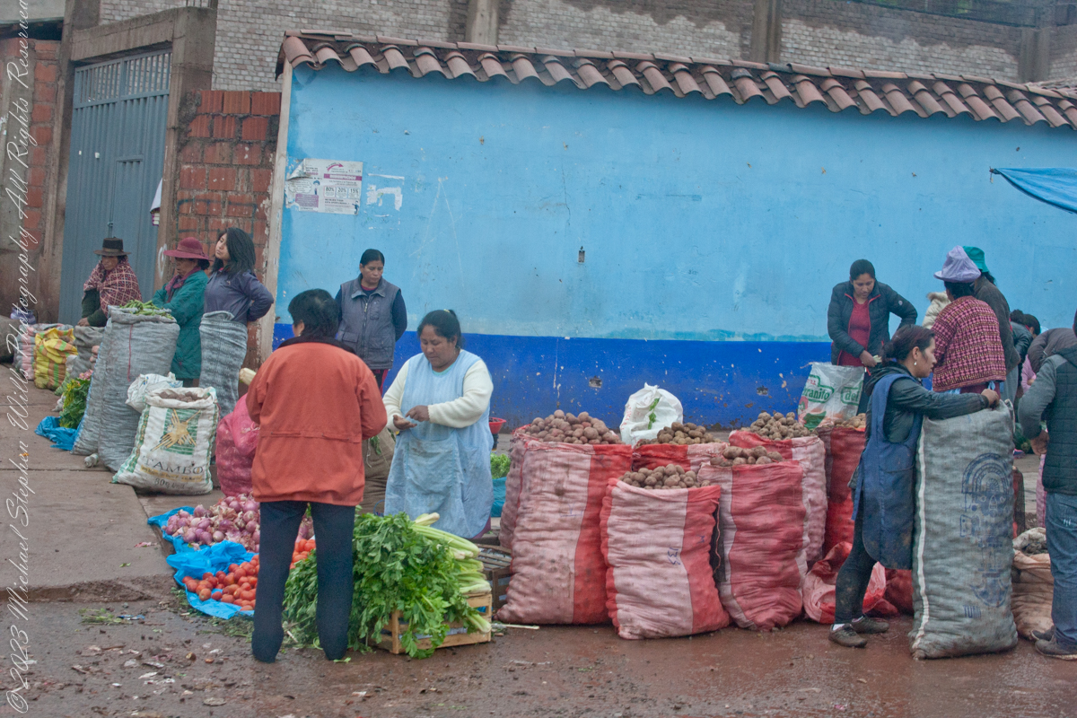
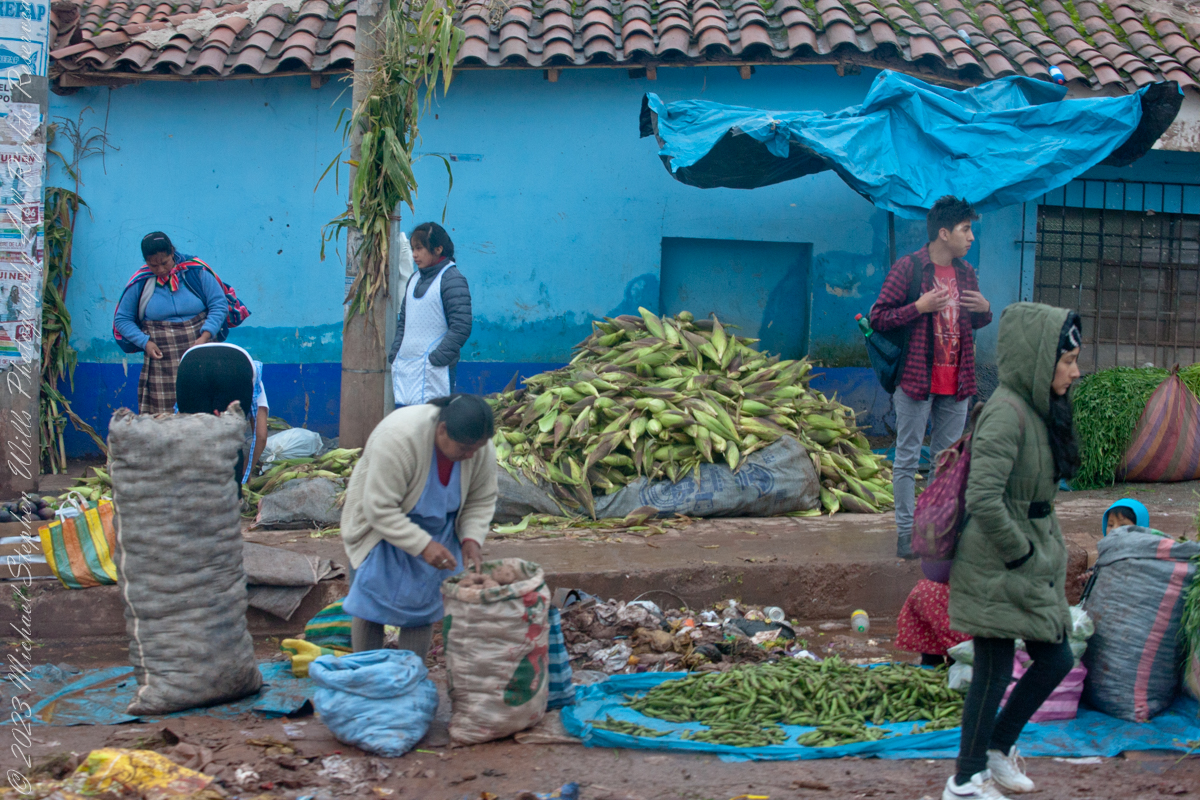
The scenes at Cusco’s Saturday Market were fascinating. The shooting was through a clean bus window using a handheld Canon EF 70-300 f/4-5.6 L IS USM lens mounted on the Canon dslr 1DS Mark III.

Click Me for my Online Gallery

“Inka S.R.L.” is a agriculture company full name INDUSTRIA DE ALIMENTOS E INVERSIONES PERU INKA SRL specialized in ELAB OF OTHER PROD. FOOD.. It was created and founded on February 2, 2002.

Very early for these children…

Quechua people or Quichua people, may refer to any of the aboriginal people of South America who speak the Quechua languages, which originated among the Indigenous people of Peru. Although most Quechua speakers are native to Peru, there are some significant populations in Ecuador, Bolivia, Chile, Colombia, and Argentina. The woman center left sports traditional fabrics of her pants and shawl.

Onions and garlic, potatoes? Wild potato species can be found from the southern United States to southern Chile. The potato was originally believed to have been domesticated by Native Americans independently in multiple locations, but later genetic studies traced a single origin, in the area of present-day southern Peru and extreme northwestern Bolivia. Potatoes were domesticated there approximately 7,000–10,000 years ago, from a species in the Solanum brevicaule complex. In the Andes region of South America, where the species is indigenous, some close relatives of the potato are cultivated.

Potatoes!!

Maize, also known as corn in North American and Australian English, is a cereal grain first domesticated by indigenous peoples in southern Mexico about 10,000 years ago.

Click Me for the next post in this series.

Reference: Wikipedia “Maize,” “potato,” “Indigenous peoples of Peru.”

Copyright 2023 Michael Stephen Wills All Rights Reserved

On Point at the Cusco Saturday Market

Marketing choices

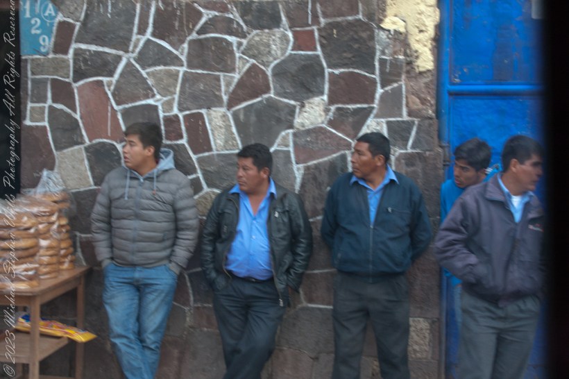
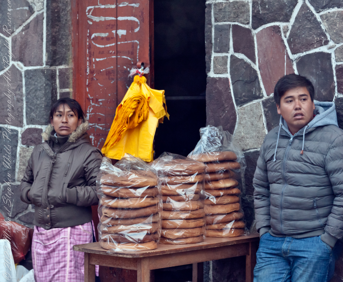
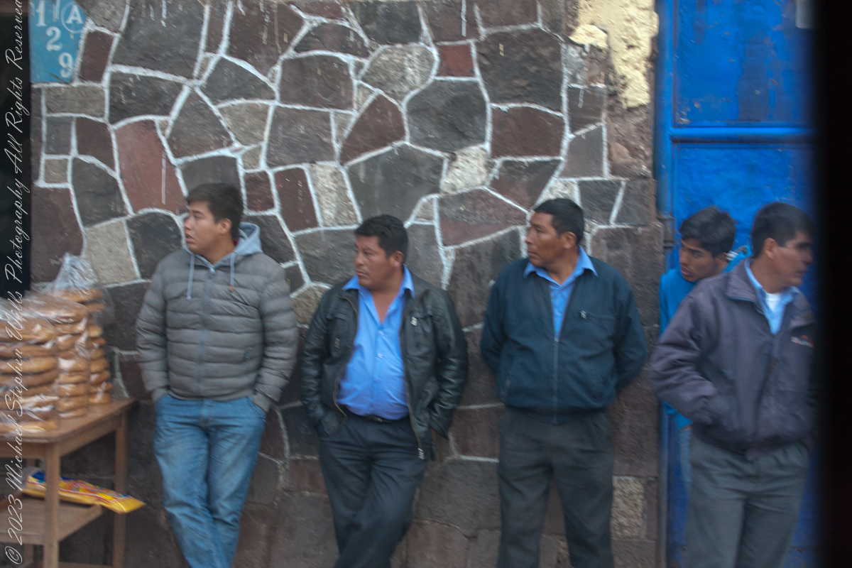
I caught these participants of the Cusco, Peru, Saturday Market as our bus progressed toward Machu Picchu during our daytrip to that ruin. The shooting was through a clean bus window using a handheld Canon EF 70-300 f/4-5.6 L IS USM lens mounted on the Canon dslr 1DS Mark III.

Click Me for my Online Gallery

Several days supply of bread for a family.

Cusco, Peru– February 6, 2016:

Watching the world go by.

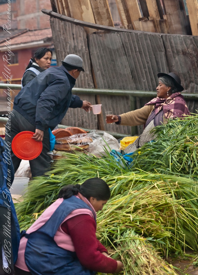
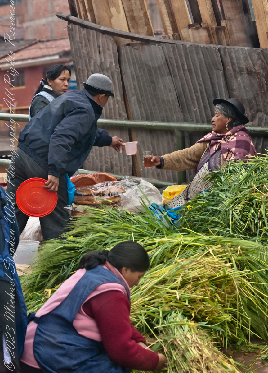
Transacting business

Click Me for the next post in this series.

Copyright 2023 Michael Stephen Wills All Rights Reserved

Breaktime

Cusco Saturday Market

A group of Quechua vendors during the Saturday Market of Cusco. A seller of baked goods is taking a break while, in the foreground, a woman prepares an order of greens used to feed guinea pigs, a staple of native Peruvian cuisine.

Click Me for my Online Gallery

Cusco, Peru– February 6, 2016:

We were headed out of Cusco on our daytrip to Machu Picchu.

Click Me for the next post in this series.

Copyright 2023 Michael Stephen Wills All Rights Reserved

Machu Picchu overview

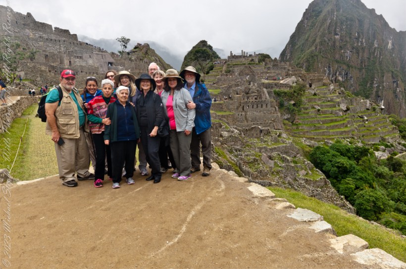
Our February 2016 travel group poses at the overlook.

Click Me for my Online Gallery

Machu Picchu was believed (by Richard L. Burger, professor of anthropology at Yale University) to have been built in the 1450s. However, a 2021 study led by Burger used radiocarbon dating to reveal that Machu Picchu may have been occupied from around 1420–1530 AD.[24][25] Construction appears to date from two great Inca rulers, Pachacutec Inca Yupanqui (1438–1471) and Túpac Inca Yupanqui (1472–1493). There is a consensus among archaeologists that Pachacutec ordered the construction of the royal estate for his use as a retreat, most likely after a successful military campaign. Although Machu Picchu is a “royal” estate, it would not have been passed down in the line of succession. Rather it was used for 80 years before being abandoned, seemingly because of the Spanish conquests in other parts of the Inca Empire. It is possible that most of its inhabitants died from smallpox introduced by travelers before the Spanish conquistadors arrived in the area.

Click Me for the next post in this series.

Reference: “Machu Picchu” Wikipedia

Copyright 2023 Michael Stephen Wills All Rights Reserved

Juniper Sunrise

crack of dawn

In this post we start the day of my posting “Family Trek“, July 19, 2008, when, well before the sun rose at 6:23 am Mountain Daylight Time (the Navajo Reservation observes daylight savings, the rest of Arizona does not), Pam and I were at the Spider Rock Overlook.

Most visitors to the canyon make use of a system of roads and parking lots next to strategic views.  There is the White House Overlook we visited our first day, July 18, to hike from the trailhead into the canyon.  There are also, on the south side of the canyon:

  • Tsegi Overlook, taken from a Navajo word that translates directly to “between the rocks” and usually refers to a deep canyon with steep cliffs.
  • Junction Overlook above the point where Canyon Del Muerto (see my posting “Sun and Shade, Canyon Del Muerto”, and Canyon De Chelly intersect.  There is an Anasazi ruin in the south-facing cliff across the canyon.
  • Sliding House Overlook, another Anasazi run across the canyon.
  • Face Rock Overlook, to view the eponymous formation.
  • Spider Rock Overlook, the most stunning rock formation. 
Sunrise Canyon De Chelly
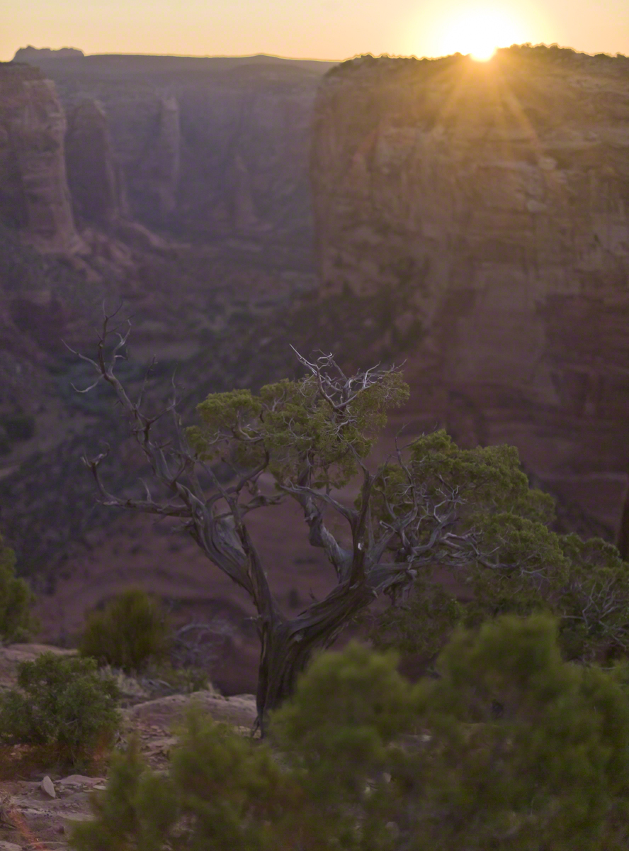
Looking east from the Spider Rock overlook, Canyon De Chelly.

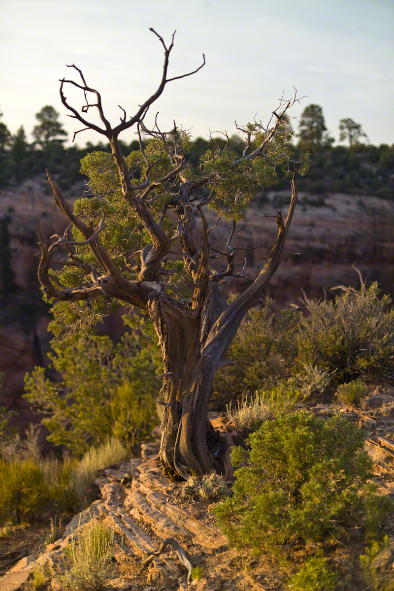
While getting ready I scoped out the location for interesting visual tropes.  Utah Junipers are exceptionally hardy shrubs, stressed individual plants grow into compelling forms shaped by hardship.  As the sun rose, this specimen emerged from the gloom and caught the first sun rays.

Juniper Sunrise
A distressed Utah Juniper on the edge of Canyon De Chelly overlooking Needle Rock a few moments after sunrise.

Enjoy!!

Click for the first posting of this series, “Portrait of a Navajo Guide.”
 

The Flatiron

Where is the ironing board?

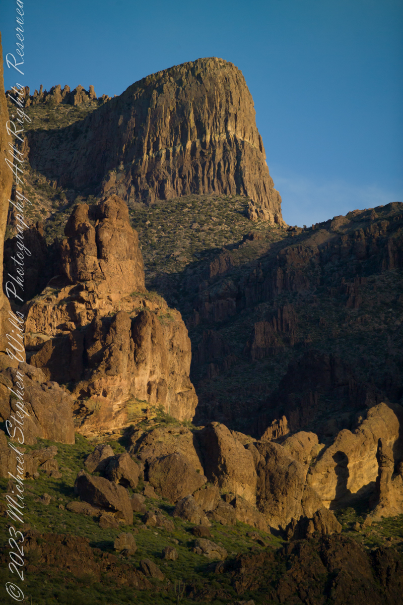
The setting sun’s glow on the end point of Upper Siphon Draw trail, The Flatiron.

Click Me for my Online Gallery

The mountain was formed by a series of volcanic eruptions between 20.5 and 18 million years ago. The west face of the mountain is composed of dacite lava and rhyolitic tuff. The overlying tuff was deposited during an eruption which created a collapse caldera bounded by faults. Dome resurgence reactivated these faults, causing uplift of the caldera floor which juxtaposed the softer tuff and more resistant dacite. Differential weathering caused the outer tuff to erode faster, leaving the dacite cliffs exposed and creating the prominent mountain visible today.

The Flatiron, the mesa-like projection above us in this view, is long solidified dacite lava. The word dacite comes from Dacia, a province of the Roman Empire which lay between the Danube River and Carpathian Mountains (now modern Romania and Moldova) where the rock was first described. Lost Dutchman State Park, Apache Junction, Maricopa County, Arizona

Reference: Wikipedia “Superstition Mountain” and “Dacite Lava.”

Copyright 2023 Michael Stephen Wills All Rights Reserved

Visiting a Bog

Chicago Bog, part of Lime Hollow Nature Center

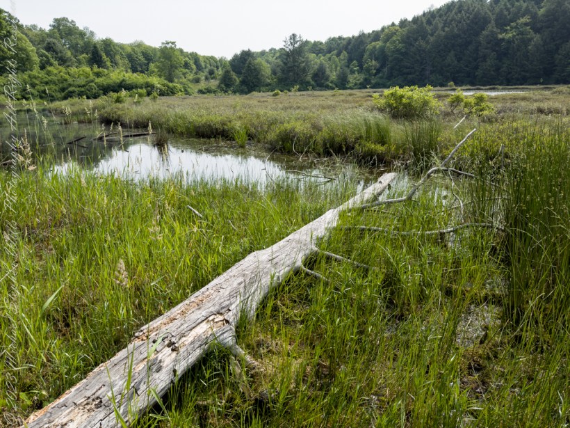
The grandchildren and I hiked the 0.6 mile trail through old growth forest to visit a bog. In the 1830’s there was a village named Chicago along Gracie Road, which gives it the name we have today. The Chicago Bog is home to many carnivorous plants, including sundew, the pitcher plant, and more. The deepest depth of the bog is about 7.2 ft. The bog is along the Phillips Memorial Trail, which can be found on Gracie Road. Lime Hollow Nature Center, Cortland, New York.

Listen to the Wood Thrush and other bird song in this short video.

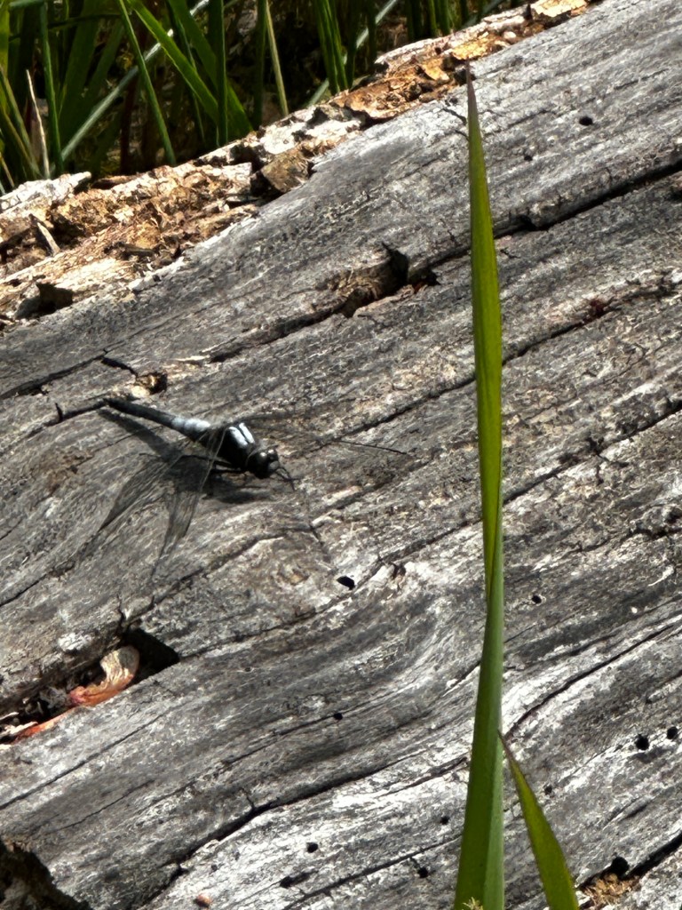
A dragonfly landed on the log, in the above images, lying at my feet. This male Chalk-fronted Corporal (Ladona julia) is a skimmer dragonfly found in the northern United States and southern Canada.

Chalk-fronted corporal dragonfly

Juveniles of both sexes are light reddish brown, with white shoulder stripes and a black stripe down the middle of the abdomen. As they mature, males develop a white pruinescence on the top of the thorax and at the base of the abdomen, while the rest of the abdomen turns black. Females become almost uniformly dark brown, with a dusting of gray pruinescence near the base of the abdomen; a few develop the same color pattern as the males.

Chalk-fronted corporals often perch horizontally on the ground or on floating objects in the water as you can see it doing here. They are gregarious for dragonflies and are commonly seen perching in groups. They readily approach humans to feed on the mosquitoes and biting flies that humans attract.

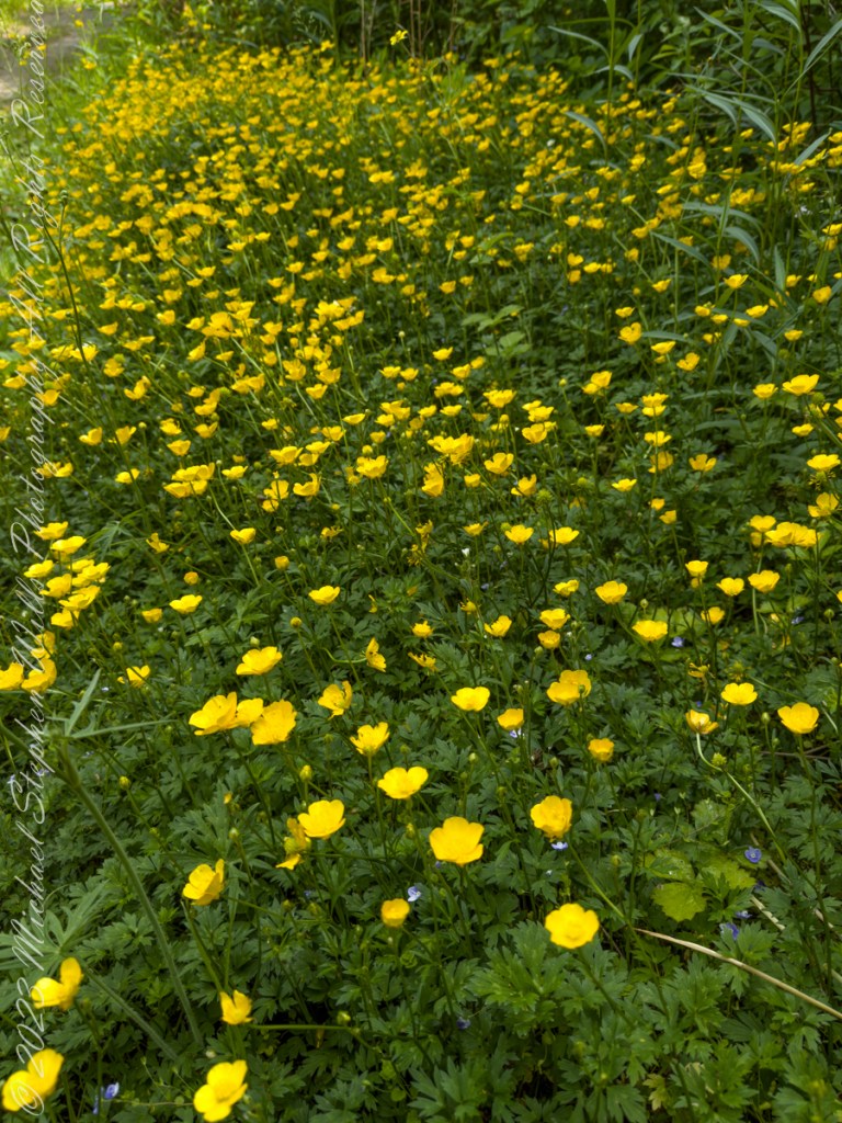
We noticed a large patch of buttercups growing in a sunny patch along the trail. Petals of these buttercups are highly lustrous owing to a special coloration mechanism: the petal’s upper surface is very smooth causing a mirror-like reflection. The flash aids in attracting pollinating insects and temperature regulation of the flower’s reproductive organs.

Click me for “Celestial Geese with two haiku by Issa”.

Copyright 2023 Michael Stephen Wills All Rights Reserved

Oak Creek Mandala

early one still morning

This quiet nook is hidden along the Oak Creek Canyon trail, though easy enough to find.

I visited there just at dawn when the air was still and the usually busy site deserted.

Oak Creek Canyon is named for the native, evergreen oak species unique to desert environments.  The leaves conserve moisture: small, thick.  I remember camping at the Chiricahua National Monument on November.  All night the acorns fell onto the metal picnic tables, a loud metallic thunk.  

The post header is a primrose flower growing on the bank of Oak Creek.

Recognize the rock from “Oak Creek Mandala”?  This is farther up the Oak Creek Canyon trail, “photograph by Pam Wills.”  I am in my warm weather photography kit of the time having passed the camera to Pam for the shot.

Click this link for my Fine Art Photography gallery. You can find Oak Creek Mandala in the Arizona gallery.  The gallery description gives more information about the site.

Click this link for another Arizona post, “Cochise Dawn.”