……click for “Pinelands Connections I”.
These photographs were taken the last days of August 2021, the 26th and 27th, while exploring Burlington County, New Jersey, with my sister. I will be writing about our Thursday and Friday for awhile, starting with today’s installment.
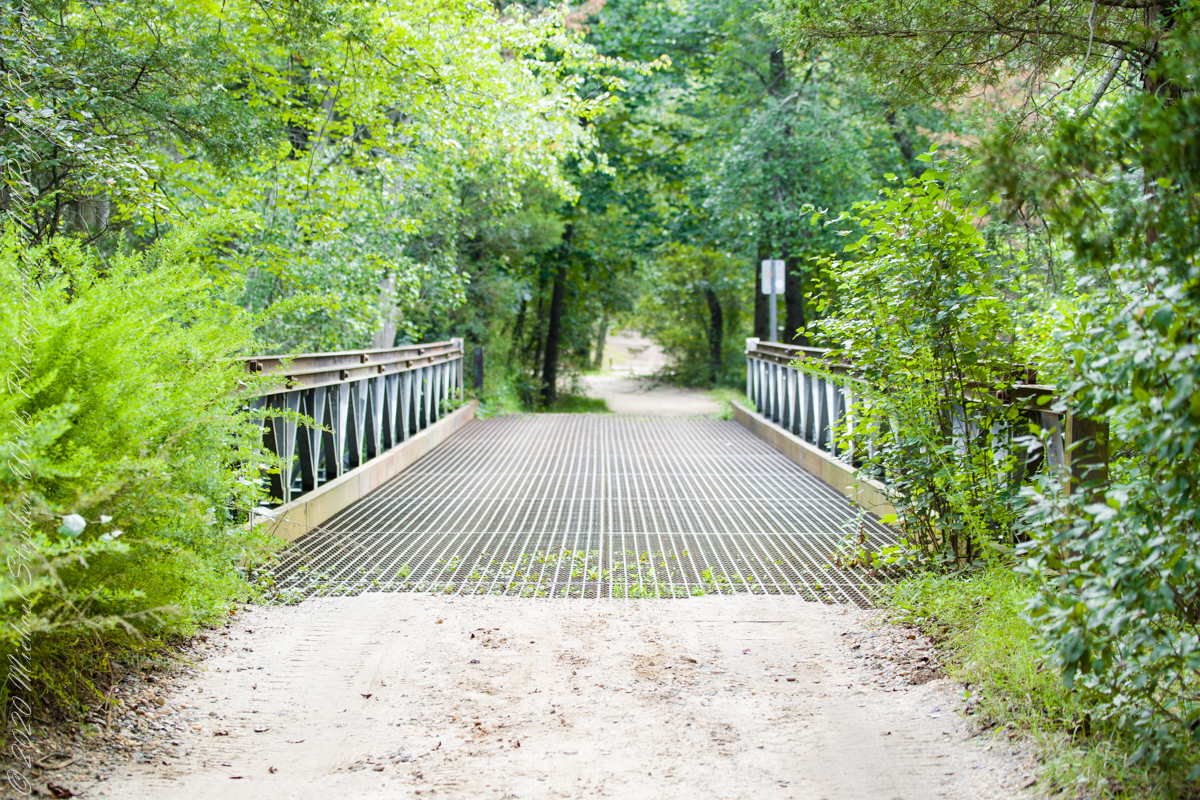
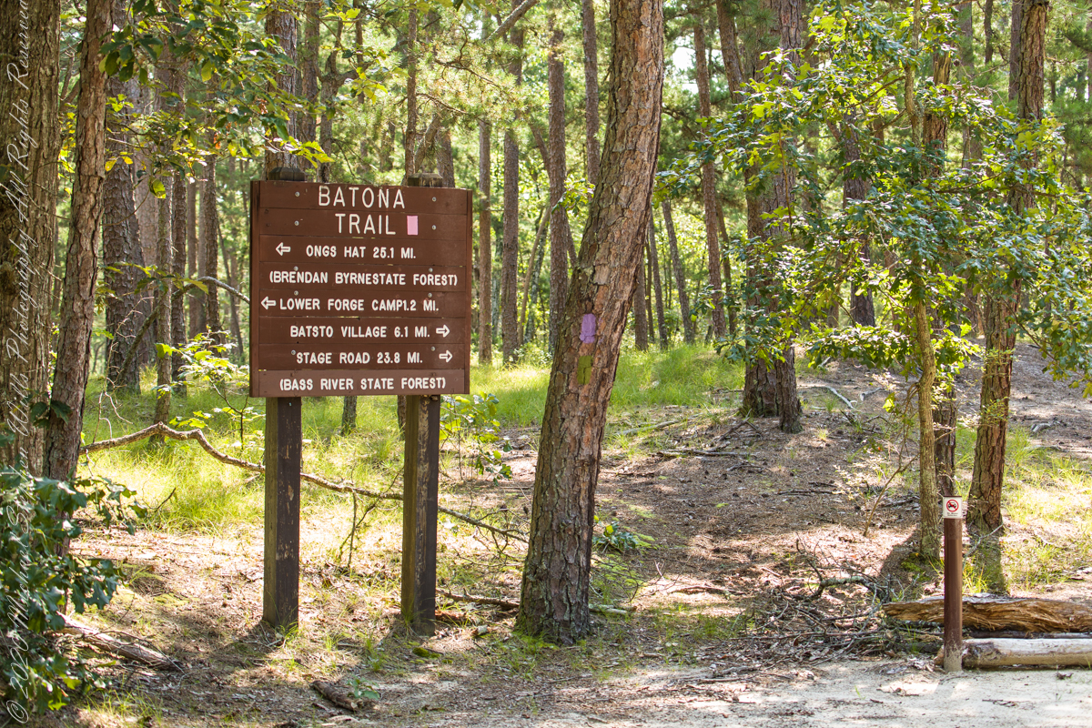
Quaker Bridge Road traverses the wilderness of Wharton State Forest with a beginning off Route 206, Atsion Mansion. Our planning included Jeep Wrangler rental, only high-clearance 4-wheel vehicles are appropriate, the road surface is humpy sand, water filled holes abound. Still, sitting there at the start, with Atsion Mansion house in view, I waited awhile until a high clearance tour bus packed with adventurers, kayaks passed into the pines and out of sight. We proceeded an uneventful ~4 miles to Quaker Bridge at a stately 5 miles per hour, invoking four-wheel drive low gear a mile or so in.
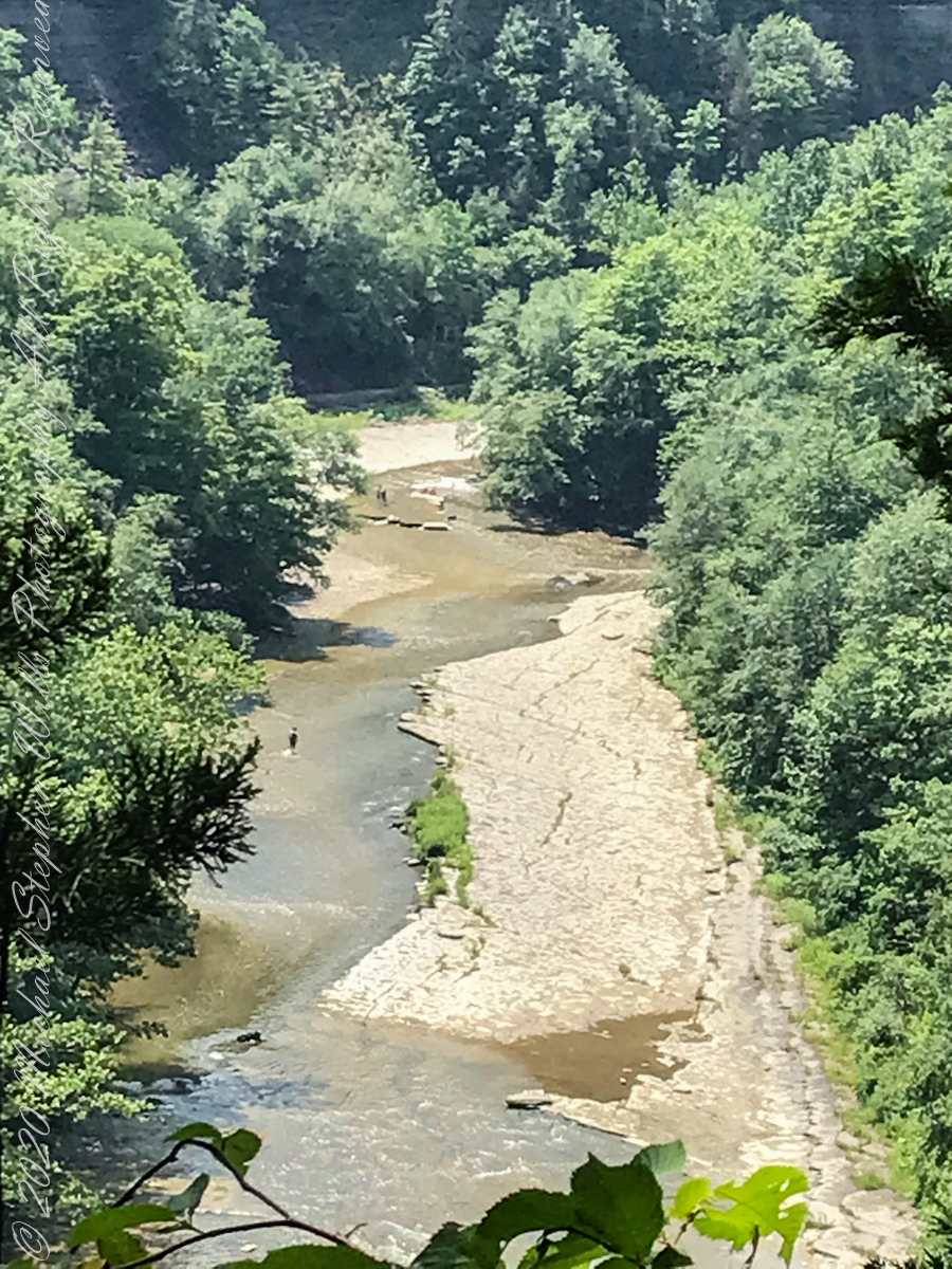
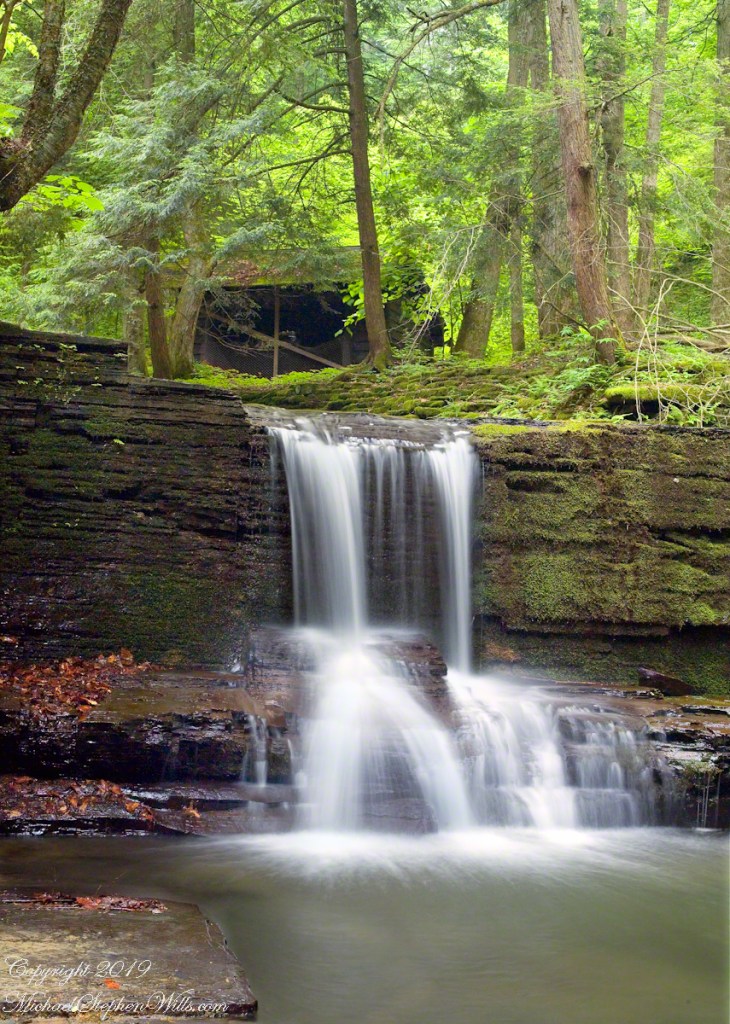
Here is Quaker Bridge over Mullica River today, facing East.
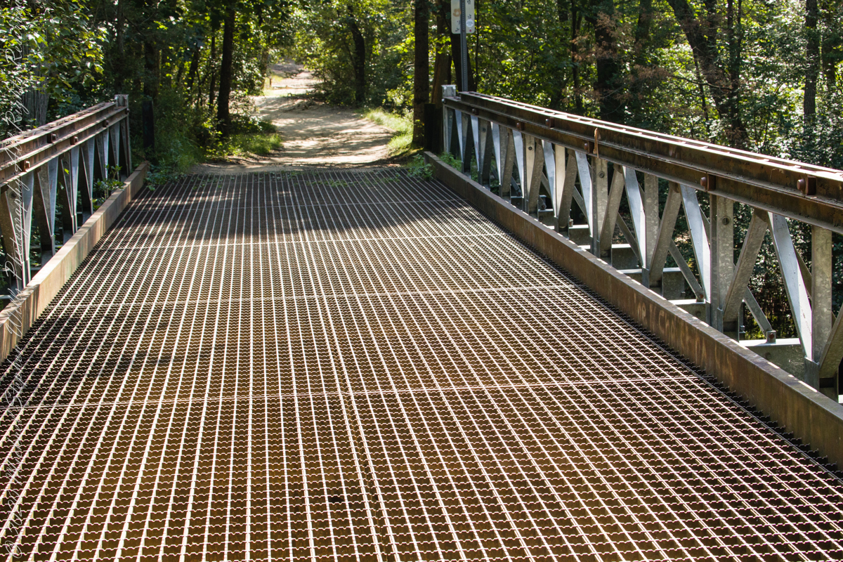
Quaker Bridge road was a well traveled main route through the Pines for almost a hundred years with an inconvenient crossing of The Mullica at this point. During the year 1774, some sa 1772, West Jersey Quakers travelling to the Little Egg Harbor Yearly Meeting, started “a day early”, built a bridge. From a c.1940 photograph it is clear in that “day” they felled large trees for pilings, smaller trees, pines and cedars, for the other bridge elements. Since then, the crossing has been called “Quaker Bridge.”
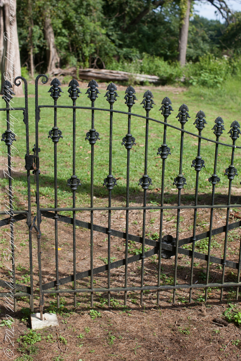
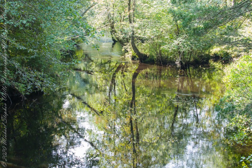
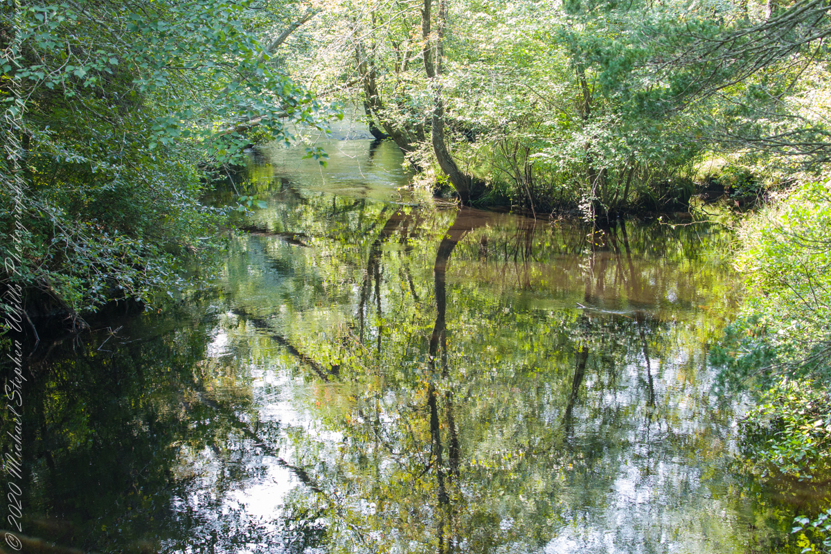
Over time, the east side became a resting place, with at least one Inn/Tavern. Here is the east side today.
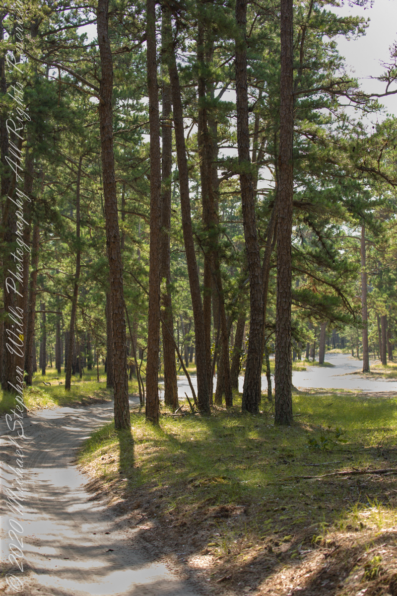
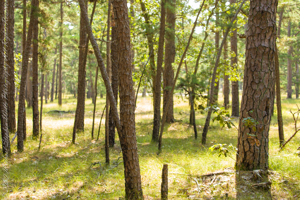
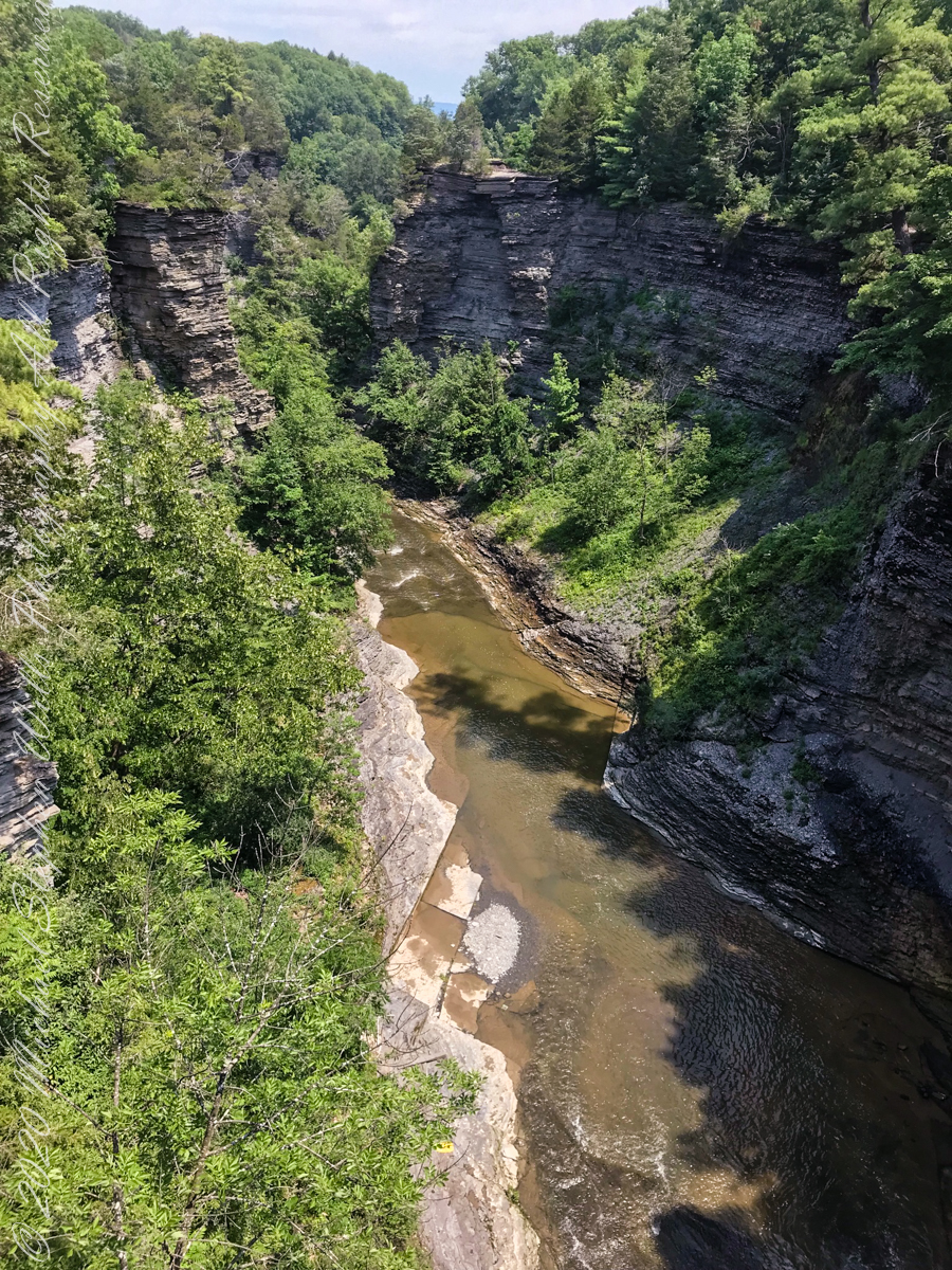
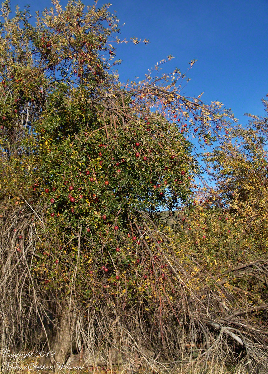
Even without hospitality and bustling humanity, after 4 miles of dreary road from Atsion this spot carries a sense of lightness, the well spaced straight pines over several acres conveying peace and rest. Over 35 miles from the ocean, the white sand presents as beach. There is a reason for this feeling, a 15 million year reason.
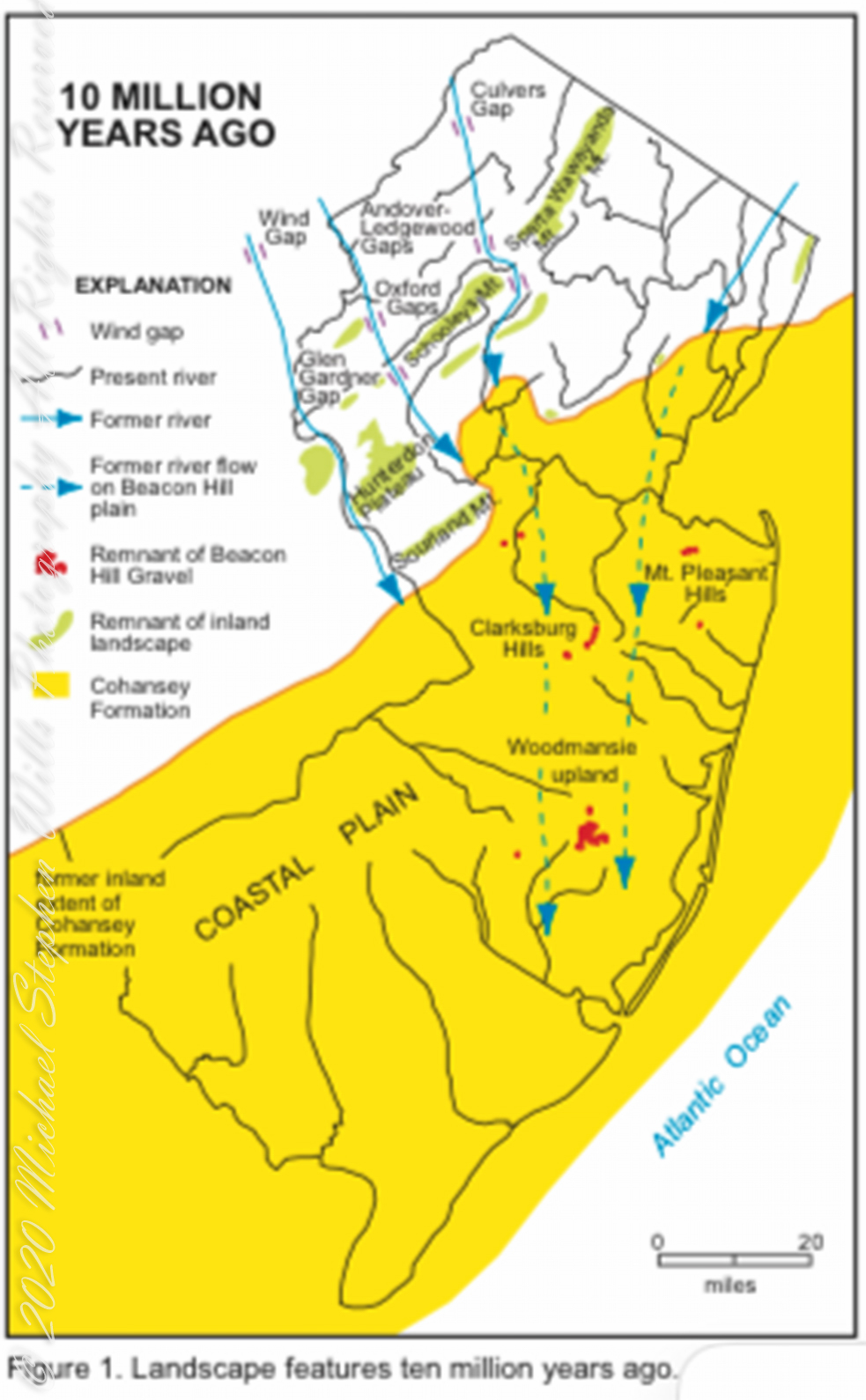
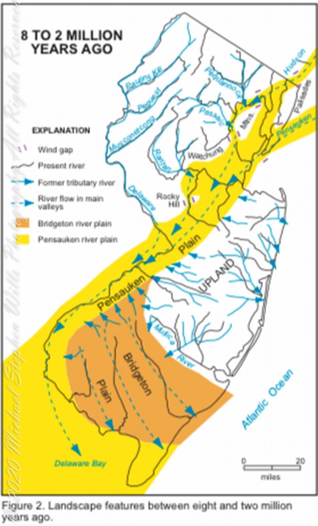
Between 15 and 10 million years ago the earth climate turned colder, so much water evaporated from the oceans to fall as snow and ice in the polar regions ocean levels fell 150 to 250 feet. As the ocean fell away, over eaons, mountains to the west were ground down, pulverized by the elements to flow, gather on the exposed plain. The white “beach” sand we see today, at Quaker Bridge and other Pinelands places, are surfaces of this “Cohansey” sands and clay ranging in thickness from 25 feet in the west to more than 300 feet at the Atlantic Ocean.
Over millions of years the land raised to become the drainage patterns we see today. The renewable resources of “bog iron” and water spring from this history.
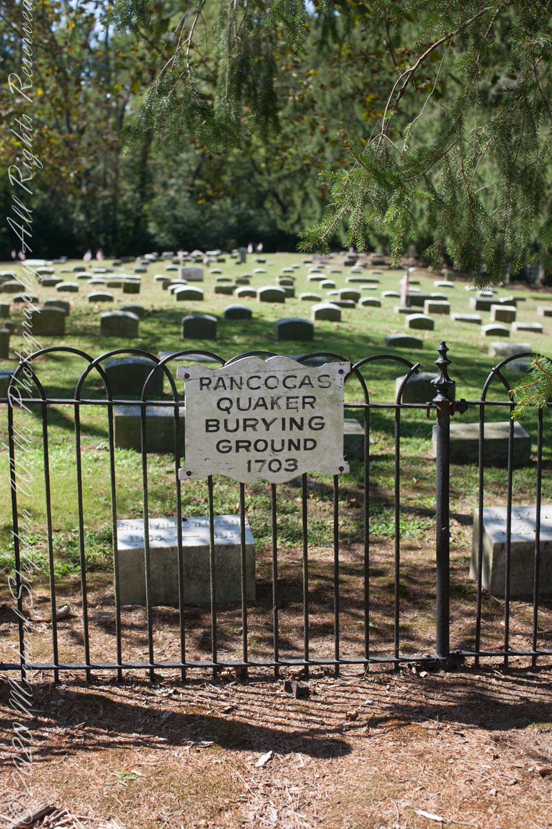
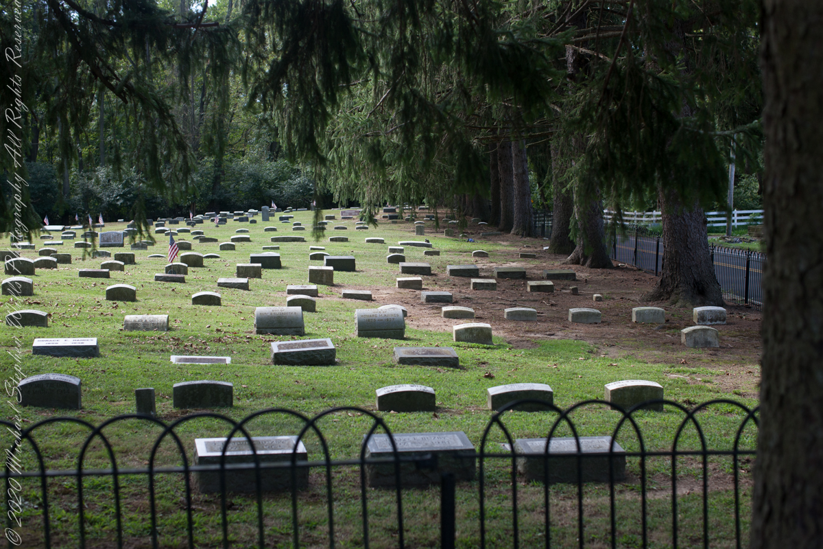
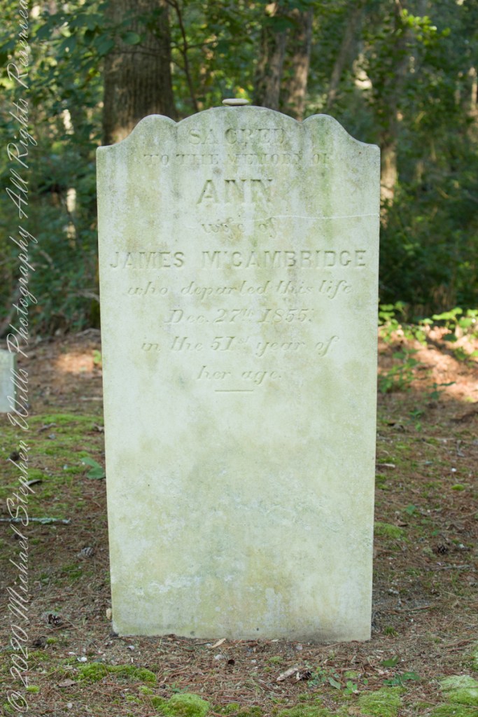
Standing there I imagined Great Great Grandmother Ann (Milley) McCambridge resting on the journey from the McCambridge home near Speedwell. I placed the pebble, collected from Long Island Sound, on Grandmother Ann’s headstone the evening of August 26th. Click this link for more about Ann McCambridge.
Click for the next chapter, “Pinelands Connections IX”
Reference
I found Quaker Bridge background in “Heart of the Pines, ghostly voices of the Pine Barrens” by John E. Pearce, pp 748 – 750, Batsto Citizens Committee, 4110 Nesco Road, Hammonton, N.J. 08037-3814.
“The Geologic History of New Jersey’s Landscape”, Scott Stanford, Unearthing New Jersey Newsletter, Vol. 1, No. 2, Summer 2005, New Jersey Geological Survey, Department of Environmental Protection e, Scott Stanford
“Hydrostratigraphy of the Kirkwood and Cohansey Formations of Miocene Age in Atlantic County and Vicinity, New Jersey,” Peter J. Sugarman, 2001, New Jersey Geological Survey Report GSR 40, New Jersey Department of Environmental Protection
“Background information on the Cohansey Formation aquifer.”
Copyright 2021 Michael Stephen Wills All Rights Reserved