Sipapu Bridge Up Close

This post continues my story of Sipapu Bridge.

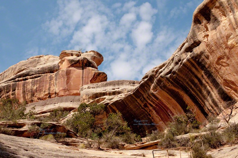
I created a series of fine art prints from a visit my wife Pam and I made to Natural Bridges National Monument in Utah.  Here are a few of these prints which grace fine homes around the world.  Click any of the photographs to visit the gallery.

We walked a narrow cliff patch climbed a series of weathered pine ladders  to  achieve these views of Sipapu Bridges National Monument.
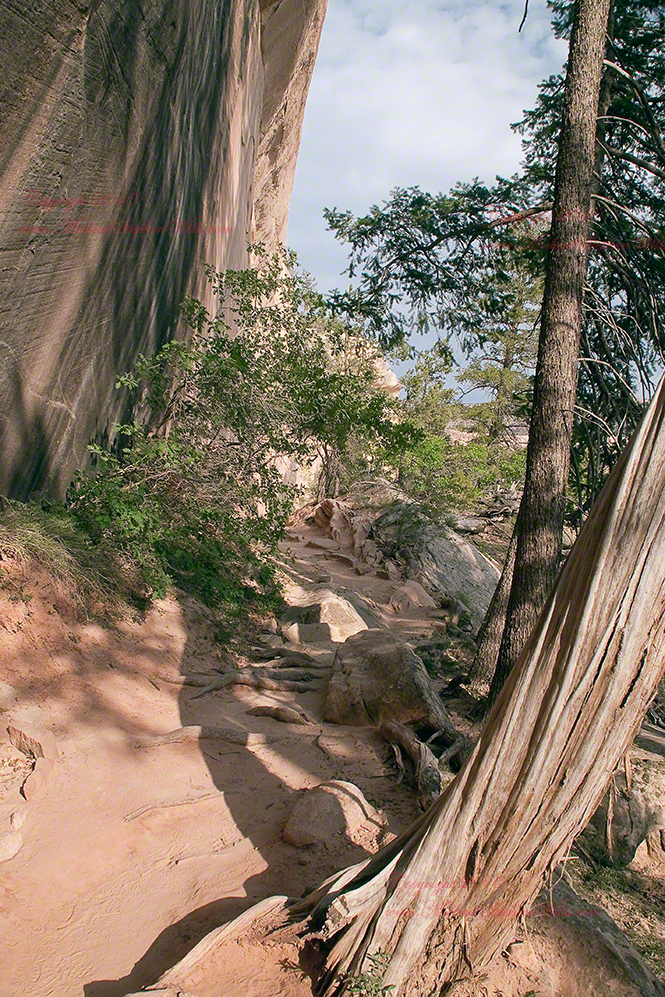
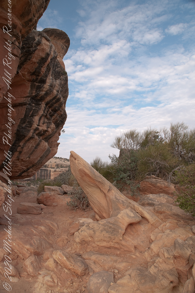
While the sky is unchanged, below the canyon rim is another world.  The black stripes of the cliffs is desert varnish, a thin deposit of clay, iron and manganese oxides.  The rock supporting the varnish is resistant to wear and protected from direct precipitation (in this case by the overhanging cliff).
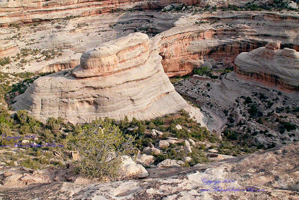
Eventually we came to a ledge with a view of Sipapu Bridge.  Pam took the opportunity to capture this amazing experience.
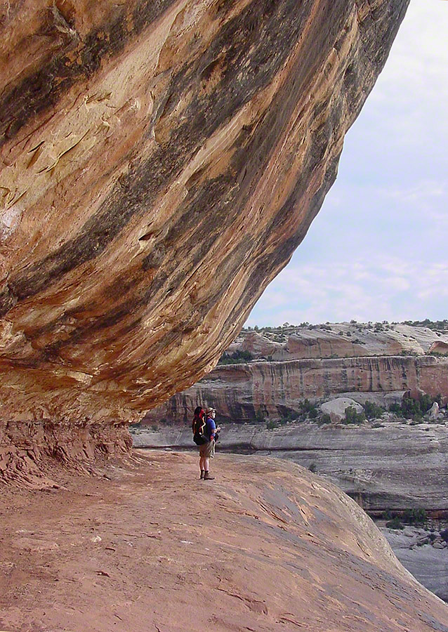
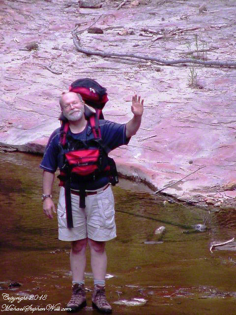
Mike at Sipapu Bridge
SONY DSC

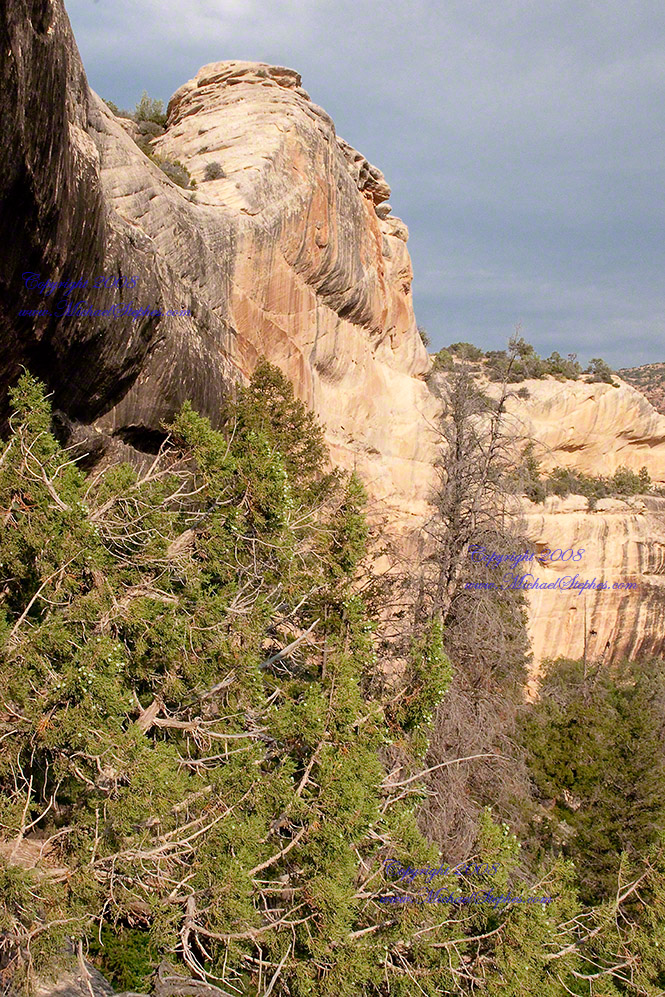
A Utah Juniper (Juniperus osteosperma). Historically, across the west, Native Americans used the wood in building their houses. They ate the berries; smoked the bark; made shoes, clothing, and rope from it.
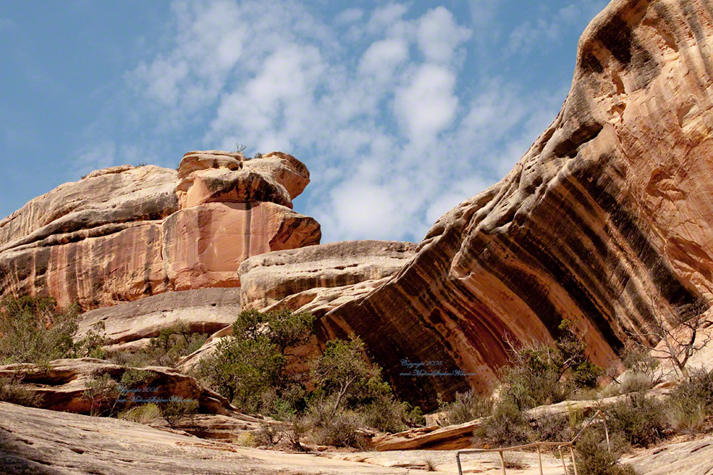
Sipapu is a Hopi word for the small hole or indentation in the floor of kivas used by the Ancient Pueblo Peoples and modern-day Puebloans. It symbolizes the portal through which their ancient ancestors first emerged to enter the present world. A natural bridge is formed through erosion by water flowing in the stream bed of the canyon. Sipapu Bridge is 268 feet across and, standing in the stream bed, it is 220 feet above your head.

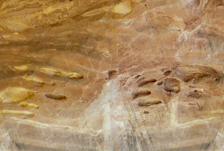
Here is a close up of the white Permian sandstone of the bridge arch.  The entire canyon is carved from this stone and named after it.
SONY DSC

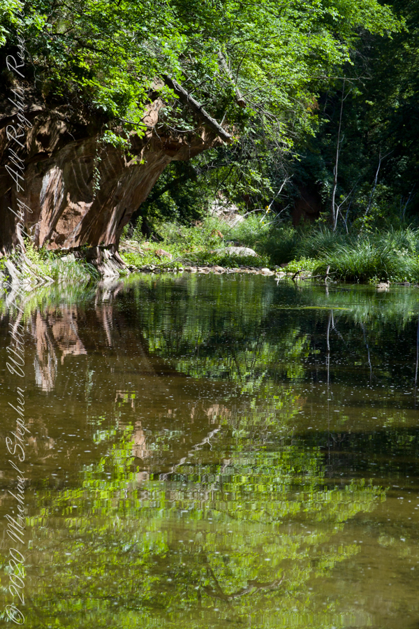
Oak Creek Reflections

early one still morning

The fault of Oak Creek changes direction, here it turns east/west through Schnebly Hill Formation red sandstone for which Sedona is famous.

West Fork (108) Trail, Sedona, Yavapai County, Arizona

“Hello” from Oak Creek Canyon, “Photo by Pam Wills”

Click this link for my Fine Art Photography gallery. You can find Oak Creek Mandala in the Arizona gallery.  The gallery description gives more information about the site.

Click this link for another Arizona post, “Cochise Dawn.”

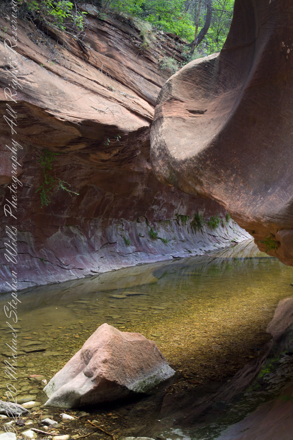
Sandstone Gallery

early one still morning

The fault of Oak Creek changes direction, here it forms a north/south gallery through Schnebly Hill Formation red sandstone for which Sedona is famous.

West Fork (108) Trail, Sedona, Yavapai County, Arizona

“Hello” from Oak Creek Canyon, “Photo by Pam Wills”

Click this link for my Fine Art Photography gallery. You can find Oak Creek Mandala in the Arizona gallery.  The gallery description gives more information about the site.

Click this link for another Arizona post, “Cochise Dawn.”

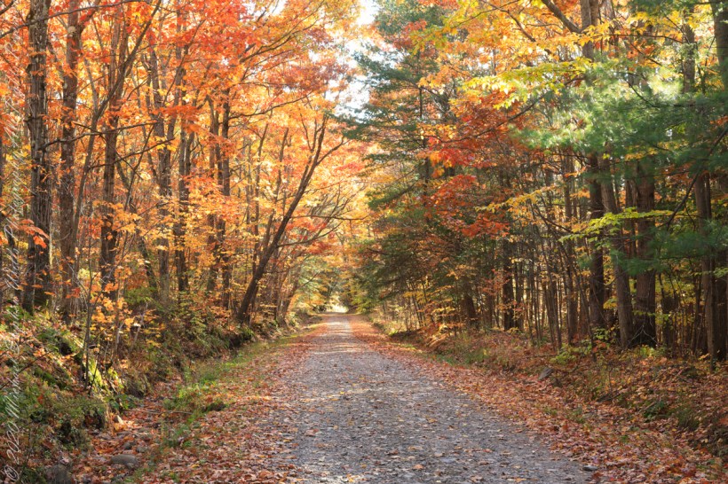
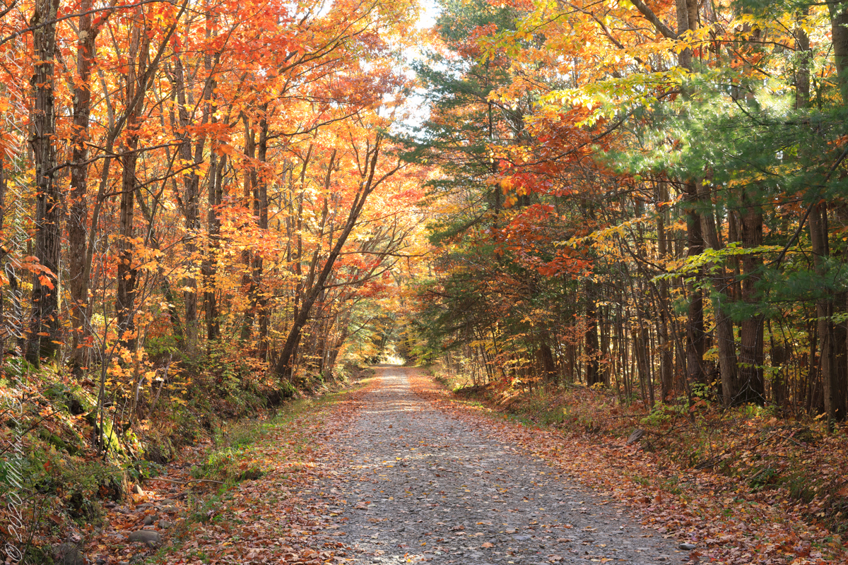
Colorful Hall

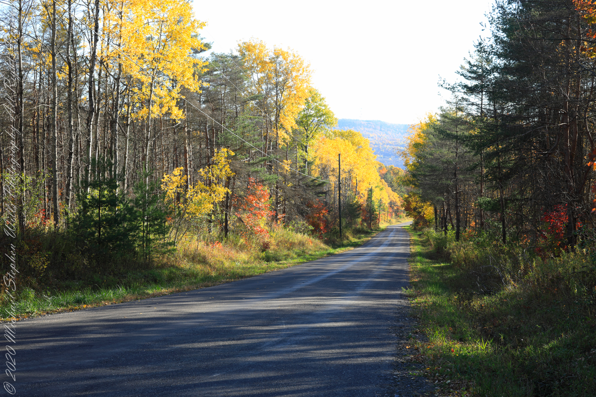
Northernmost, glaciated section of the Allegheny Plateau

For my last autumn posting this last day of November 2022 this colorful hall of trees is on the long descent of Lacey Road from Cortland to Tioga Counties where it passes close the meeting point of three counties near the Robinson Hollow State Forest, the third being Tompkins County.

We are travelling south on a northernmost, glaciated section of the Allegheny Plateau. In the 19th Century a lawyer named Calvin J. Robinson was a prominent citizen of nearby Richford.

Copyright 2022 Michael Stephen Wills All Rights Reserved

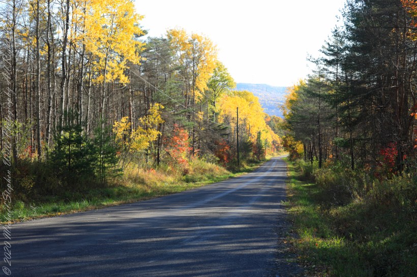
Road Transformation

sunlight, dappled shade

South/Southwest view from the long hill into Harford, stopping to admire the effect of sunlight, dappled shade and bright yellow, orange, red against the distant ridge sheltering Robinson Hollow. Near Harford, Cortland County, New York.

Copyright 2022 Michael Stephen Wills All Rights Reserved

Dryden Drumlin

Drumlin, from the Irish word droimnín (“littlest ridge”)

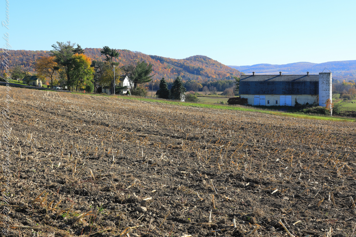
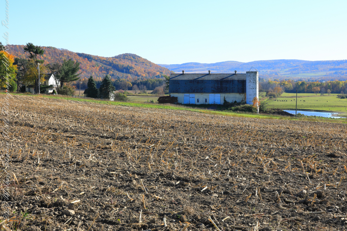
Carpenter Hill from Virgil Road, Route 392, looking across cornstalk stubble and McClintock Road, a faded yellow barn with “Vinda Acres” written on the doors.

The hill is clearly a drumlin. A drumlin, from the Irish word droimnín (“littlest ridge”), first recorded in 1833, is an elongated hill in the shape of an inverted spoon or half-buried egg formed by glacial ice acting on underlying unconsolidated till or ground moraine.

Distant ridges on the right include Hammond Hill. The road to Virgil above the town of Dryden, Tompkins County, New York.

Copyright 2022 Michael Stephen Wills All Rights Reserved

Thank You CCC

Remembered this All Saints Day

Franklin D. Roosevelt’s Tree Army

The United States Civil Conservation Corps (CCC) Camp number SP 33, inaugurated May 1, 1934, Marathon New York, worked four years (1934-1938) to improve Fillmore Glen State Park.

Bridges Five (5) and Six (6)…..

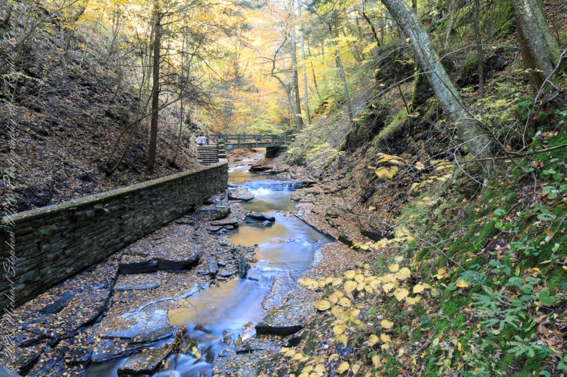
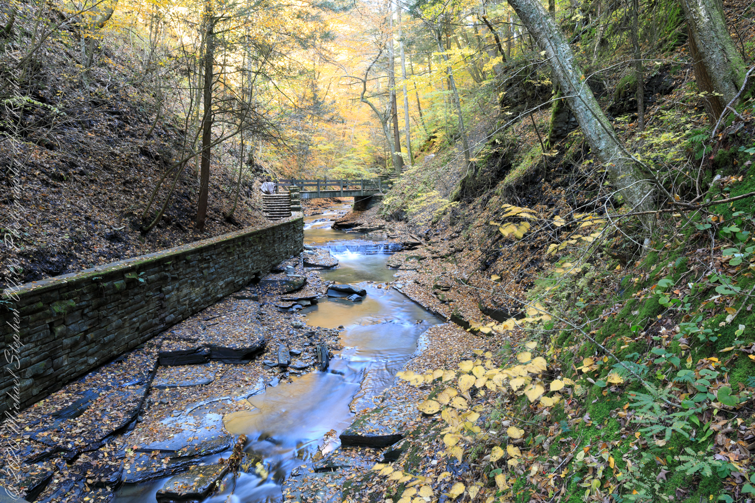
We can see the work to maintain the CCC work continues today by the New York State Office of Parks, Recreation and Historic Preservation. Look closely to see the cable flowing from the south gorge rim (to right) by which the limestone, out of sight along the gallery, was lowered for this project. There are building supplies at Bridge Five and Six, both left in these photographs.

…the gallery and Bridge Six (6)…..

Fillmore Glen, Cayuga County, Moravia. In the Finger Lakes Region of New York State

Copyright 2022 All Right Reserved Michael Stephen Wills

Bridged

No Fracking Here!!

Happy Halloween (USA)

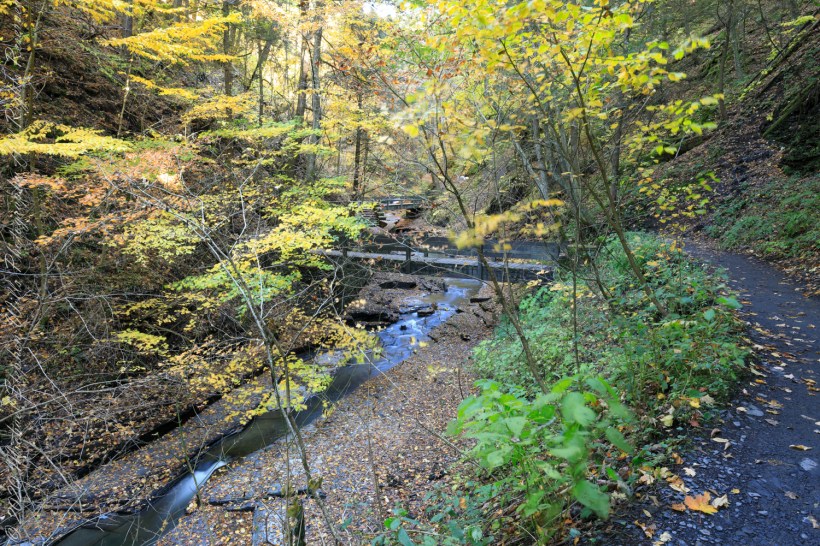
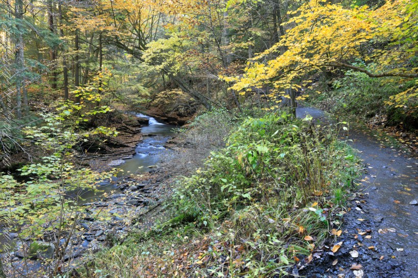
A faint organic whiff of Paleozoic Era generations follows hikers enjoying the Gorge Trail, an odor luring contemporary treasure seekers thankfully spurned by the December 2014 New York State fracking ban. Thanks to Governor Andrew Cuomo’s leadership, the ban protects public health, drinking water, the environment, local economies based on agriculture, tourism and small businesses. The ban on fracking sets the New York State apart for its climate leadership by leaving fossil fuels in the ground while the state simultaneously leads the nation in expanding renewable energy.

A plentitude of waterfalls…..

…bridge number 5…..

Fillmore Glen, Cayuga County, Moravia. In the Finger Lakes Region of New York State

Copyright 2022 All Right Reserved Michael Stephen Wills

Deep Time

A 400 Day Year

layered rock

We walk the Gorge Trail surrounded by the remains of two mountain ranges (the Taconic and Acadian) as high or higher than the Himalayas. Humbled by the fullness of time the mountains persist, now as this layered, fractured, water and frost battered rock. When the first grains flowed here the Earth’s day was 22 hours, a year 400 days, the Moon’s relative closeness moved tides higher. Four billion years ago, the first formed Moon was only 3.8 Earth radii, 15,000 miles, away. Today, a half billion years after the Cambrian, the distance averages 30 Earth radii (250,000 miles) and increasing at the almighty’s pace through the daily round of tides.

notice the right angles of fracture…..

…the angles record the changing directions of pressure of the continent against Africa as tectonic plates shifted.

Fillmore Glen, Cayuga County, Moravia. In the Finger Lakes Region of New York State

Copyright 2022 All Right Reserved Michael Stephen Wills

Unidentified Tree

silhouette

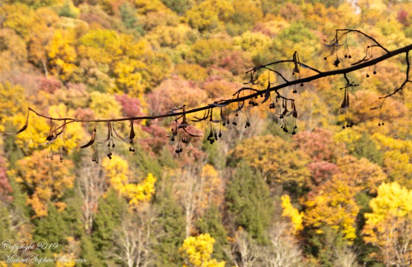
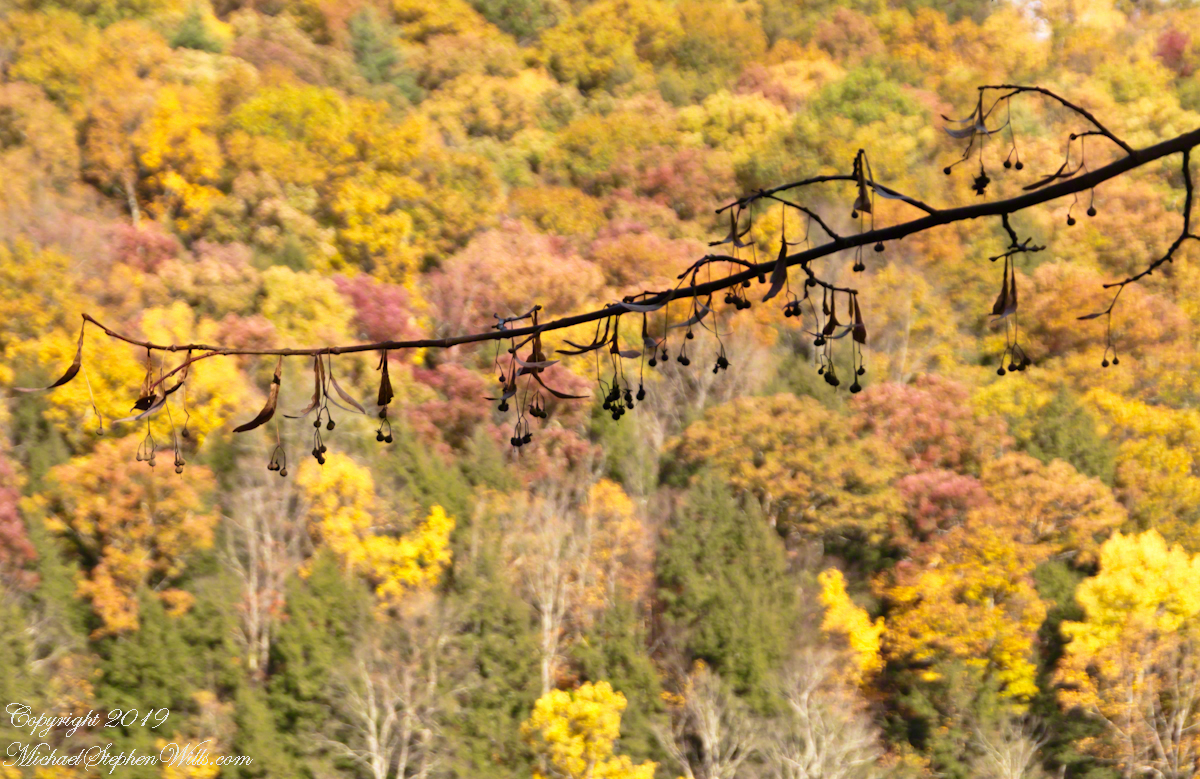
This branch of spent, lancate leaves with hanging seeds grows wild on the slopes above Treman Gorge in the Finger Lakes Region of New York State.

Assistance with identification of this tree is requested. Please leave your suggestions as comments to this post. Thank You, everyone.

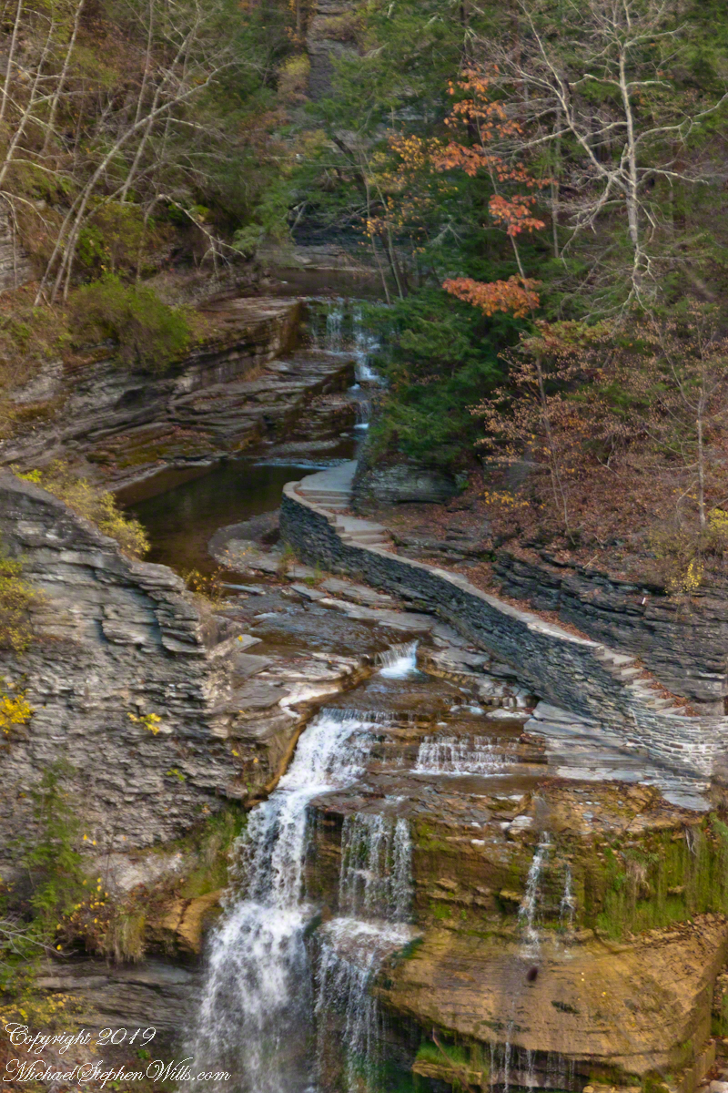
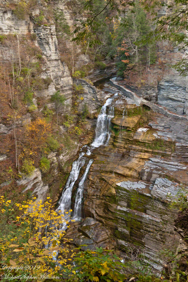
Here is a series of Lucifer Falls view from the overlook.

Copyright 2022 All Rights Reserved Michael Stephen Wills