After work on a 2008 Friday afternoon in October we sped over to Beebee Lake on the Cornell University Campus to catch the late afternoon glow.
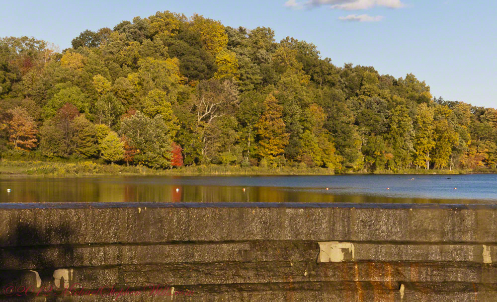
Beebe Lake is formed by a dam on Fall Creek. It seems to be the flooded meadow it is, surrounded by hills formed by glaciers 10,000 years ago. Cornell maintains footpaths around the lake.
People say that if a couple walk the a mile around the lake and over a bridge at either end, they are destined to be married. This day we passed only joggers and families. Pam and I will celebrated our tenth anniversary March 2019, so the legend worked for us.
Here are four snapshots from that time, presented in chronological order. Each is a handheld shot taken on the fly using my Sony Alpha 700 I use for exploratory photography.
Click any photograph to view my Finger Lakes Memory gallery
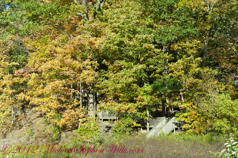
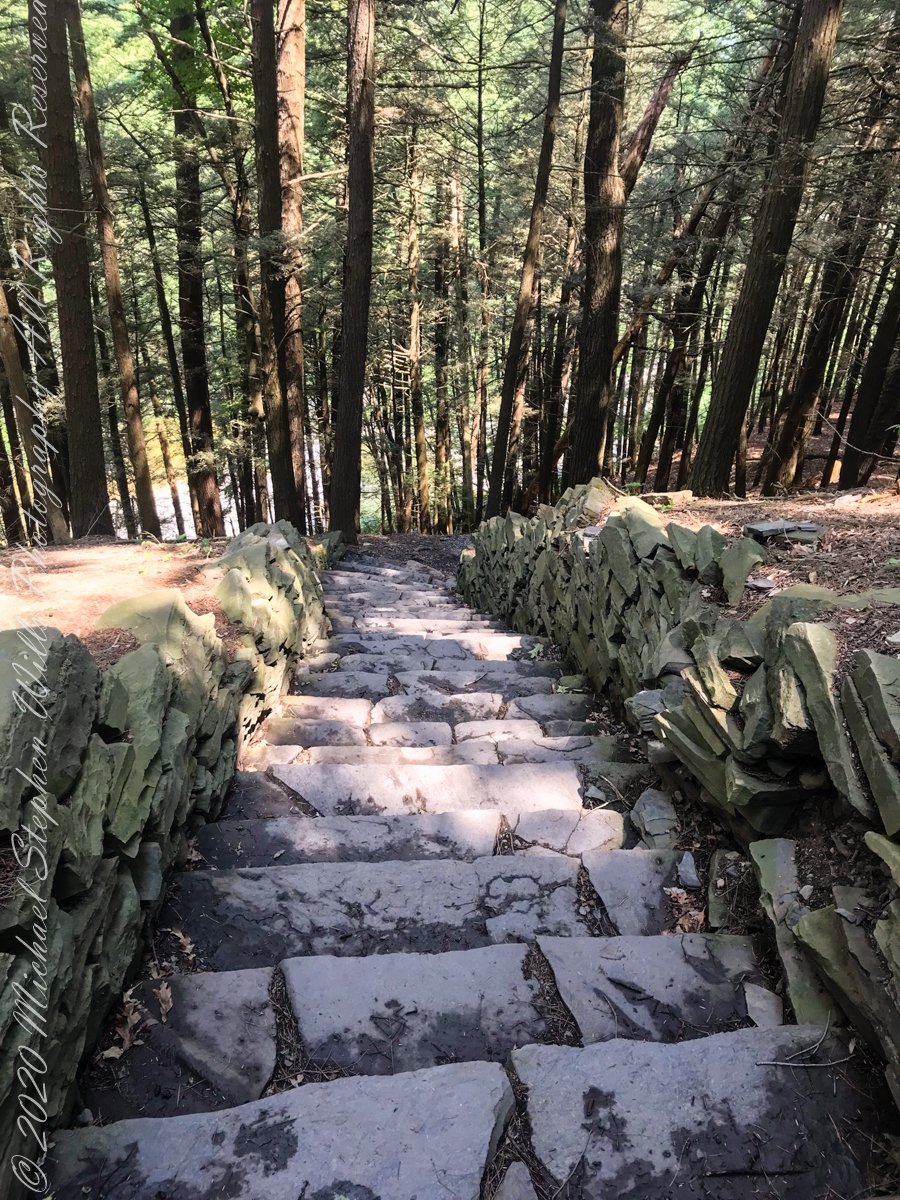
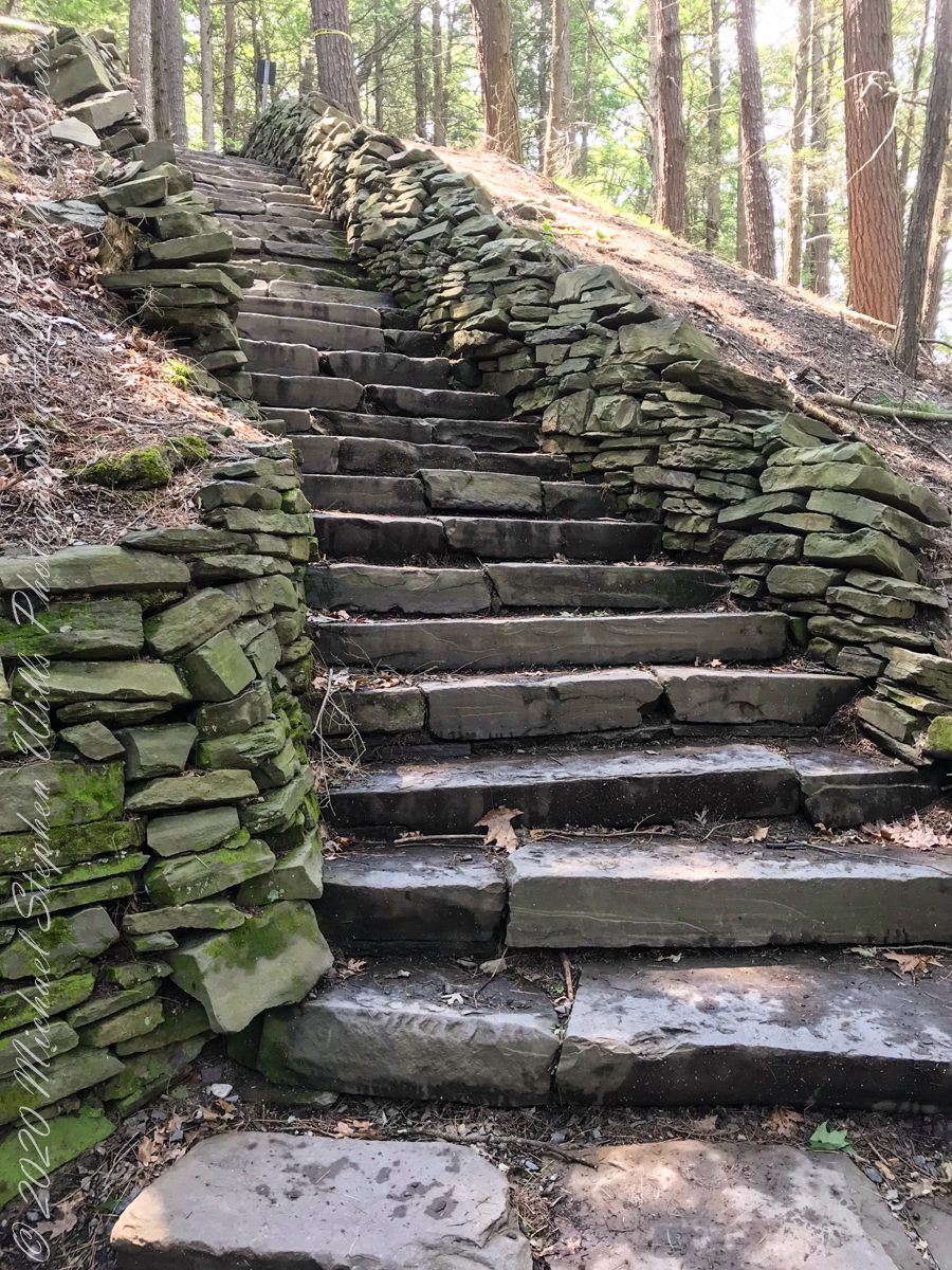
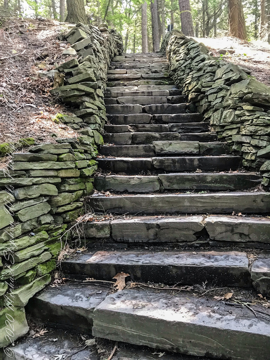
A terraced stair descends to the east side meadow to south lake shore path
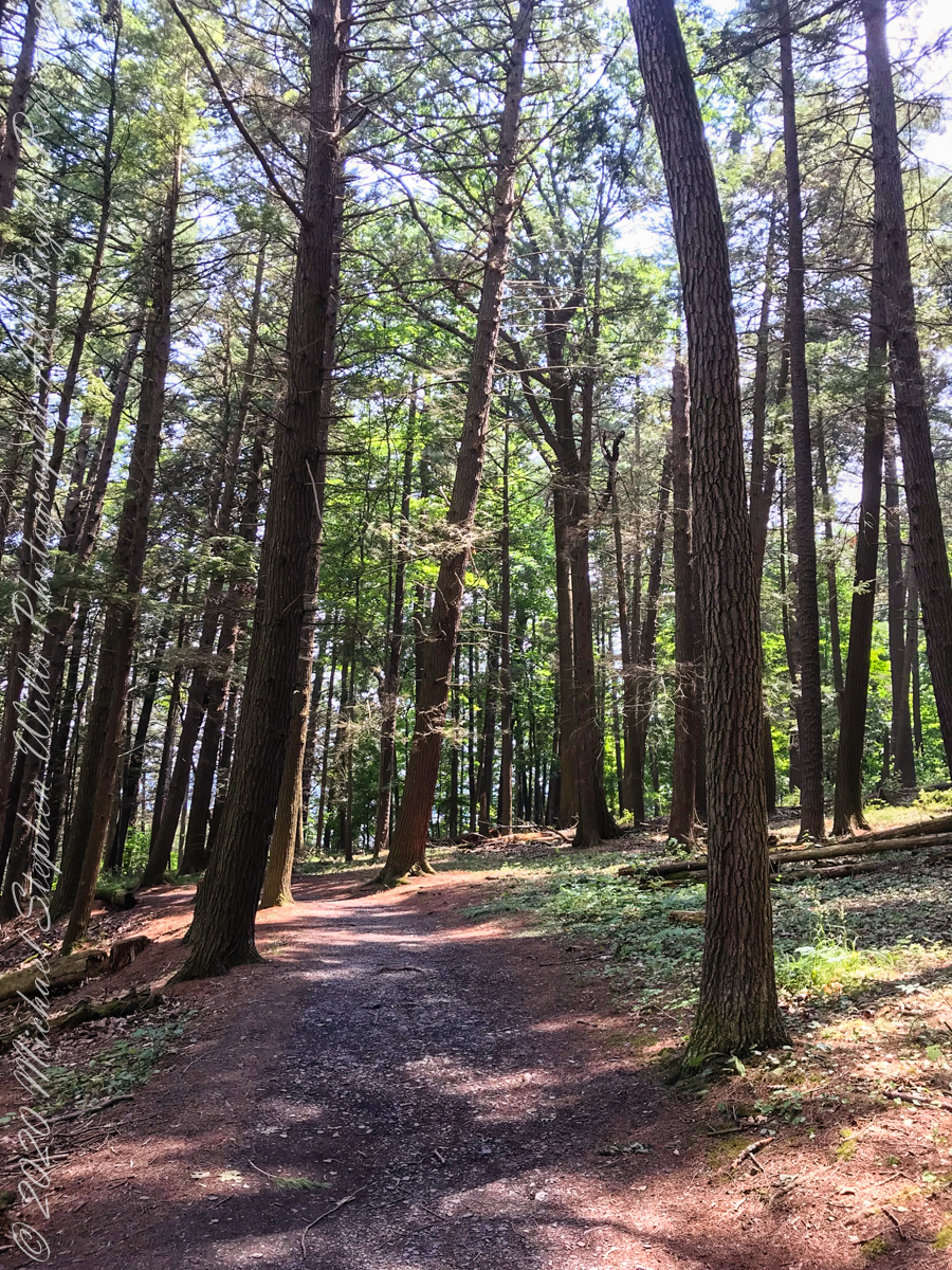
I walked down a path trod by Canadian geese to reach a clear view of the water.
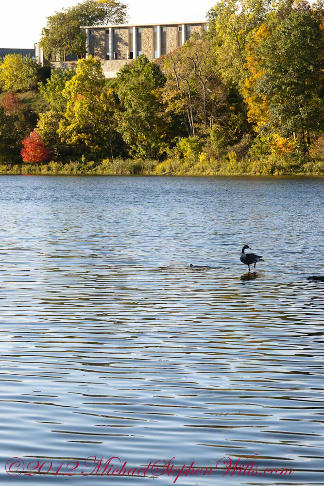
View of Helen Newman Hall
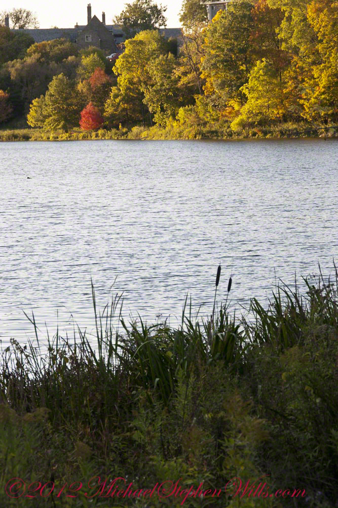
Lily pads and iris fronds grow along the bank.
Evening sunlight reflected from smooth water crests driven by a steady light wind
Being on the west side of the lake, the dam is bathed in golden autumn light.
The Dam That Forms Beebee Lake
On top the hill, not visible behind the trees, above the opposite bank is Fuertes Observatory. We visited it this night, opened to the public as it is on all clear Friday nights while classes are running.
Copyright 2021 Michael Stephen Wills All Rights Reserved
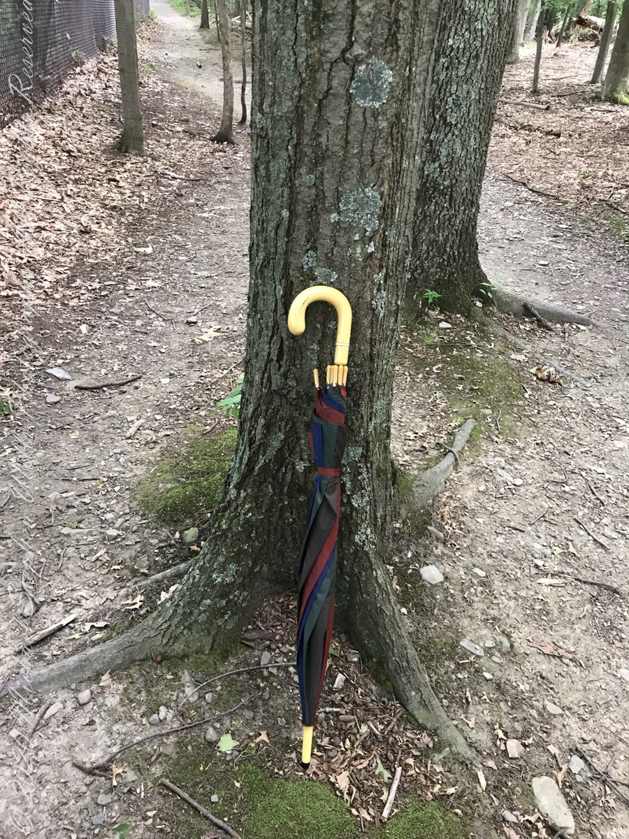
Constant winds from thunderstorm updrafts, I brought along an umbrella just in case.
Click photograph for slide show. To do this from WordPress Reader, you need to first click the title of this post to open a new page.
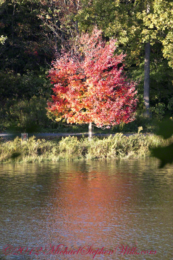
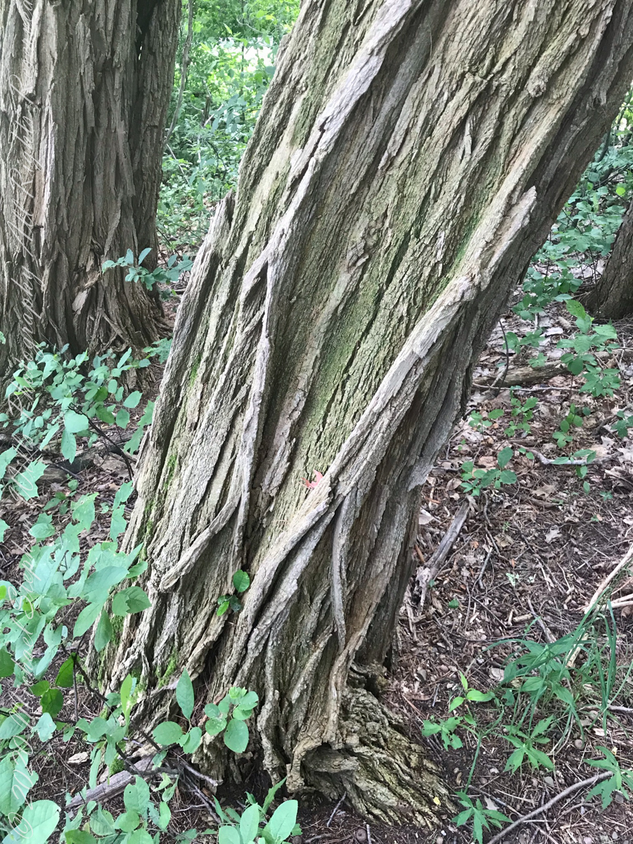
Maple Tree
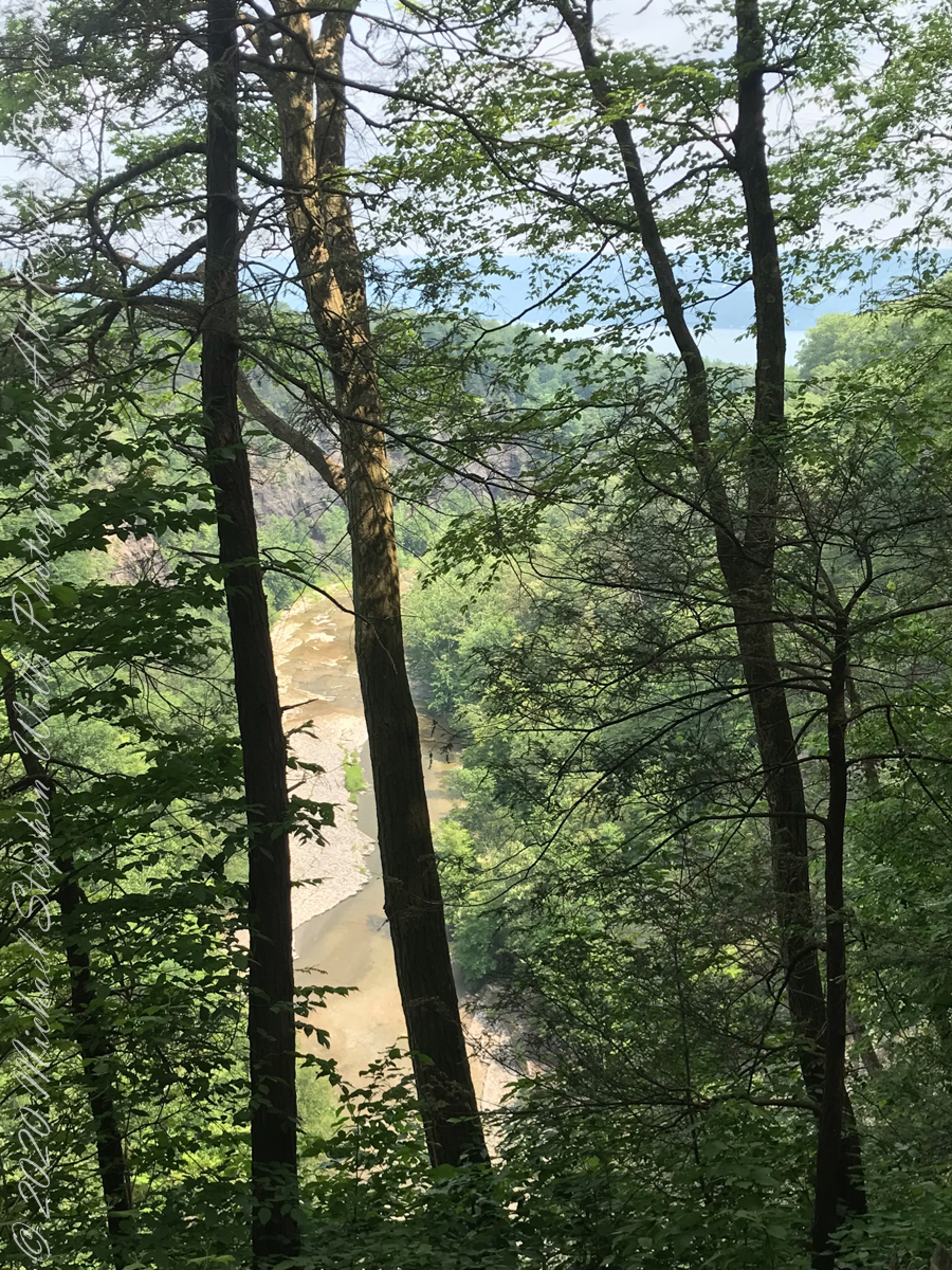
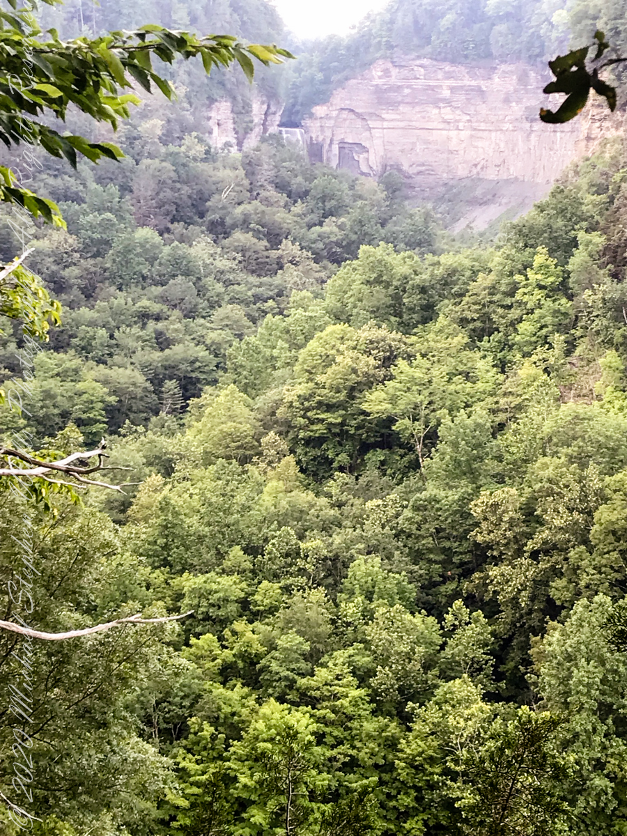
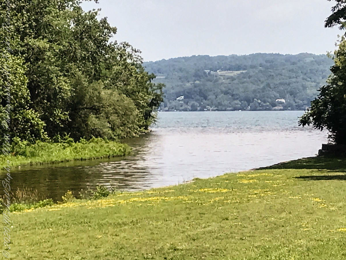
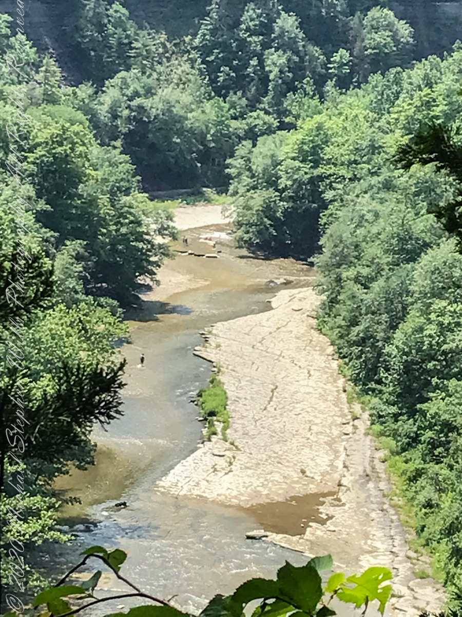
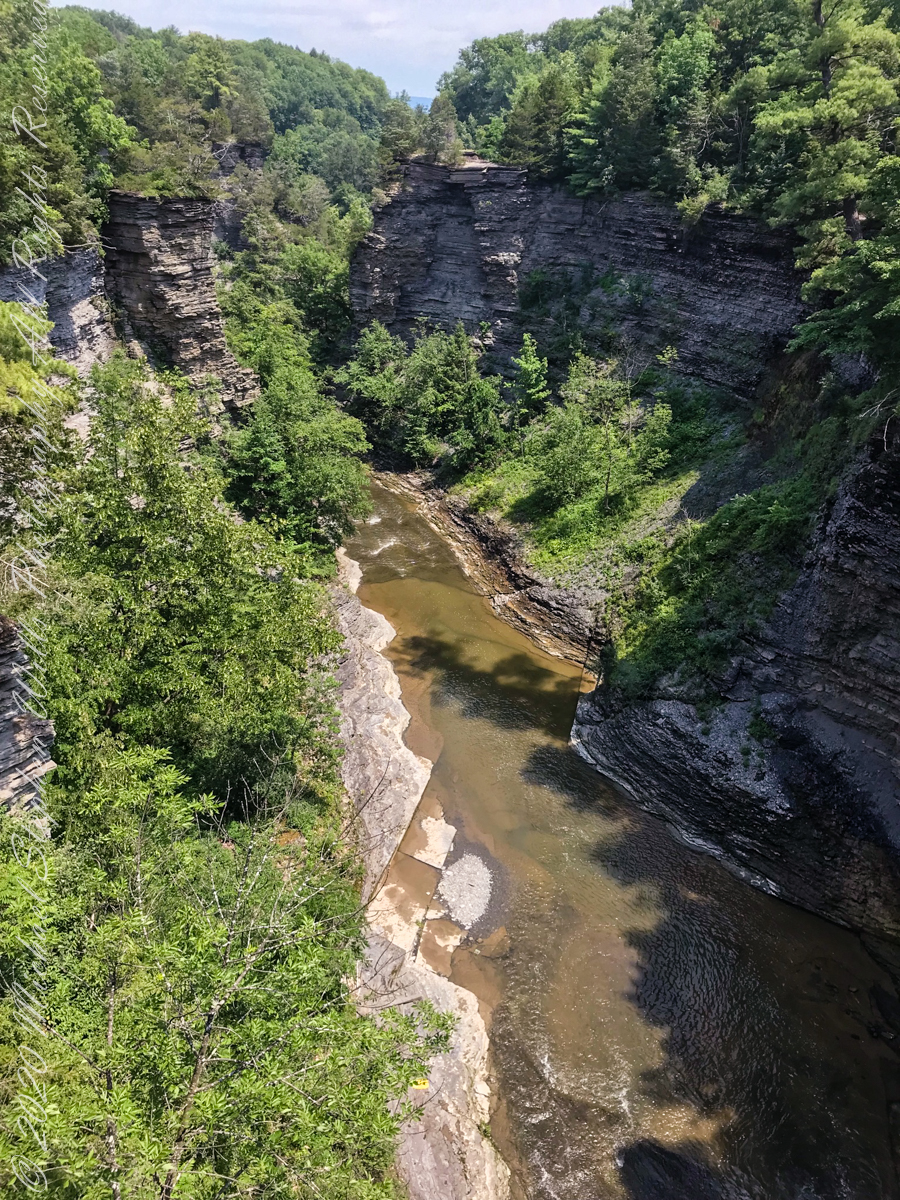
View from the South Rim Trail. The water flowing from Taughannock Falls to Cayuga Lake.
The steep, high gorge walls below the falls on a humid July morning.
gorge walls
My umbrella
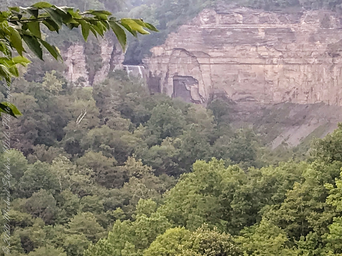
Taughannock falls in distance
Taughannock Falls in distance
South Rim Stairs built by the Civilian Conservation Corps in the 1930’s
Pine Forest at foot of stairs
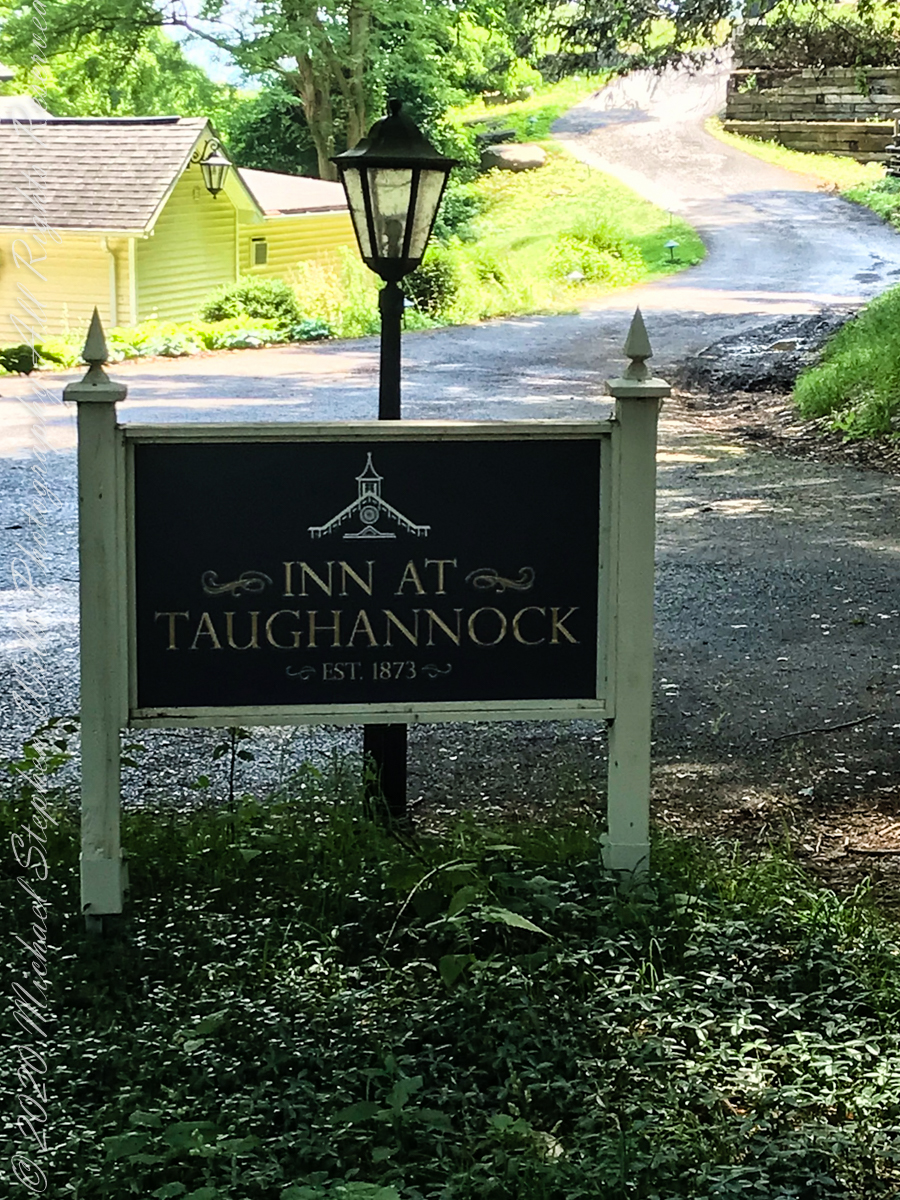
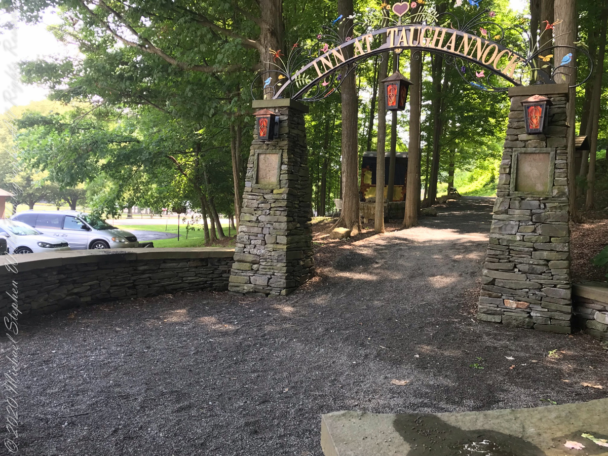
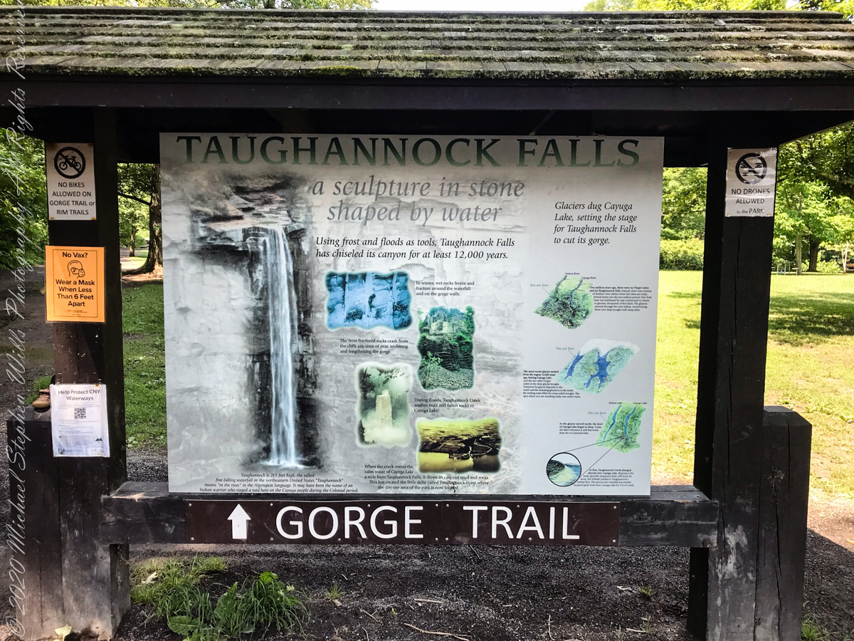
An interesting presentation at the Gorge entrance
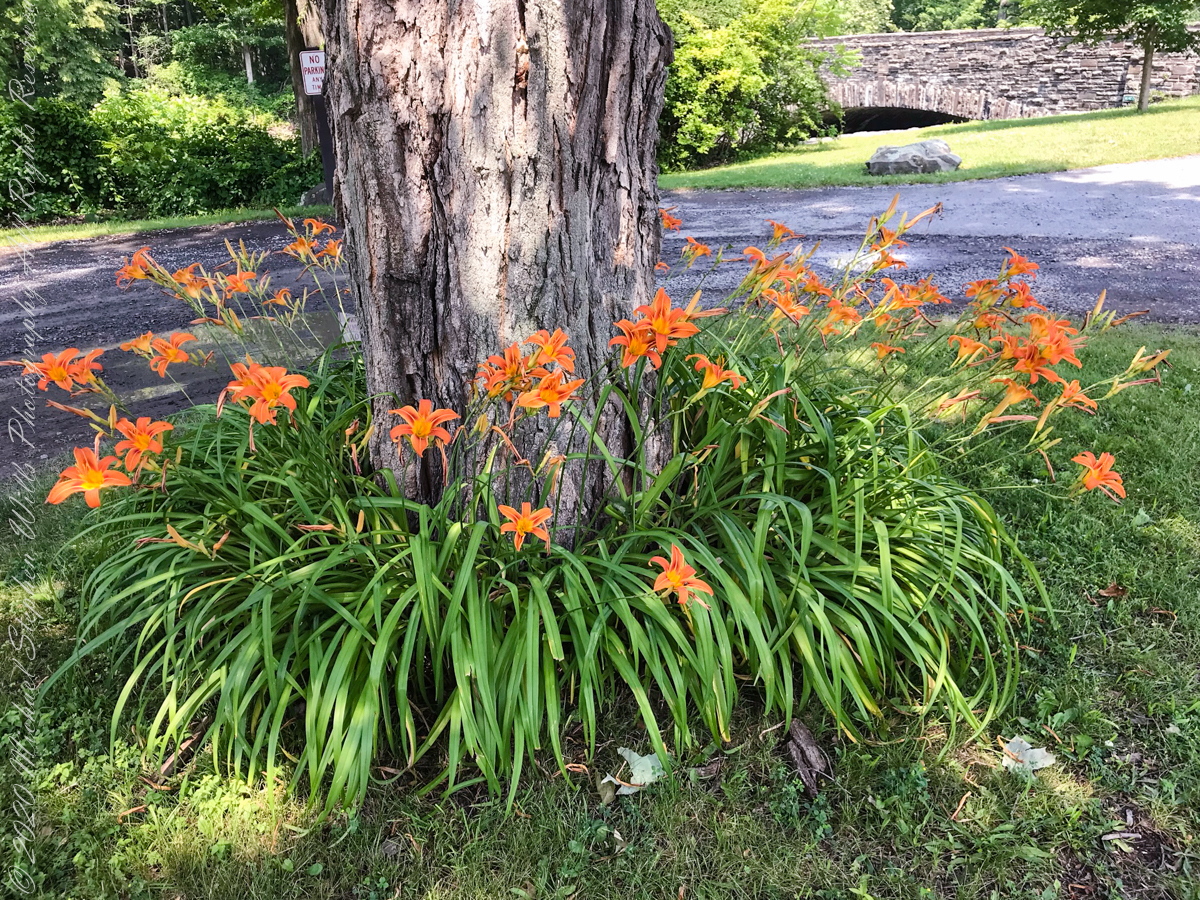
Tiger Lilies
brown creek water meets Cayuga Lake (900 feet deep)
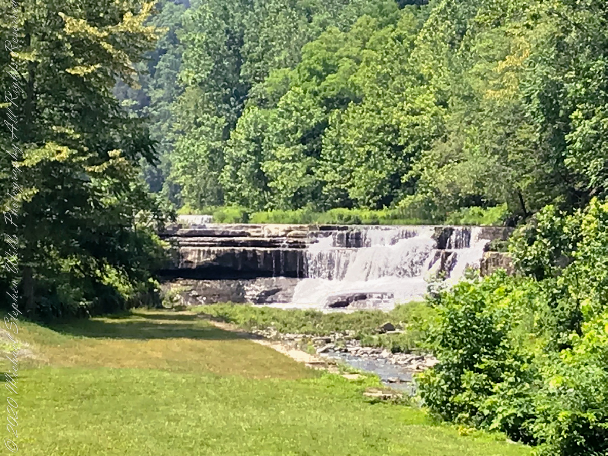
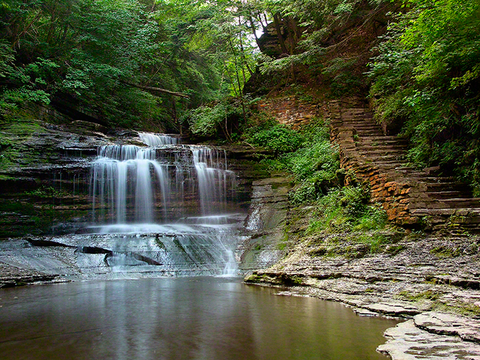
Last waterfall of Taughannock Gorge
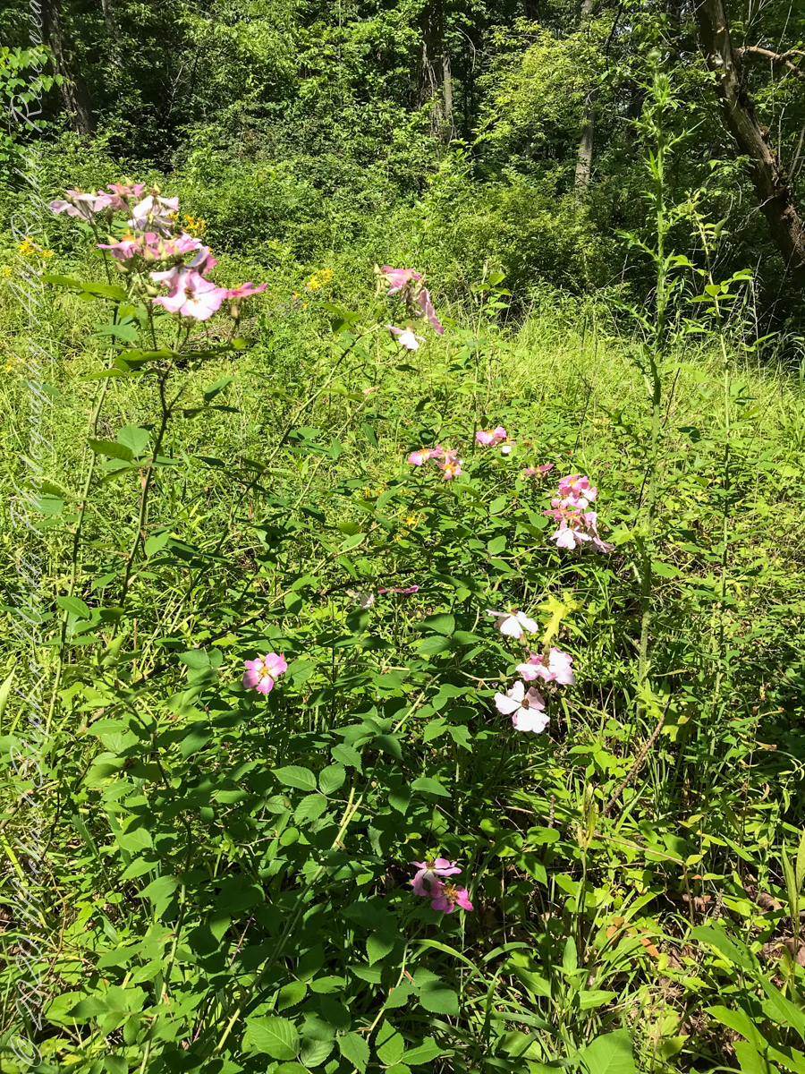
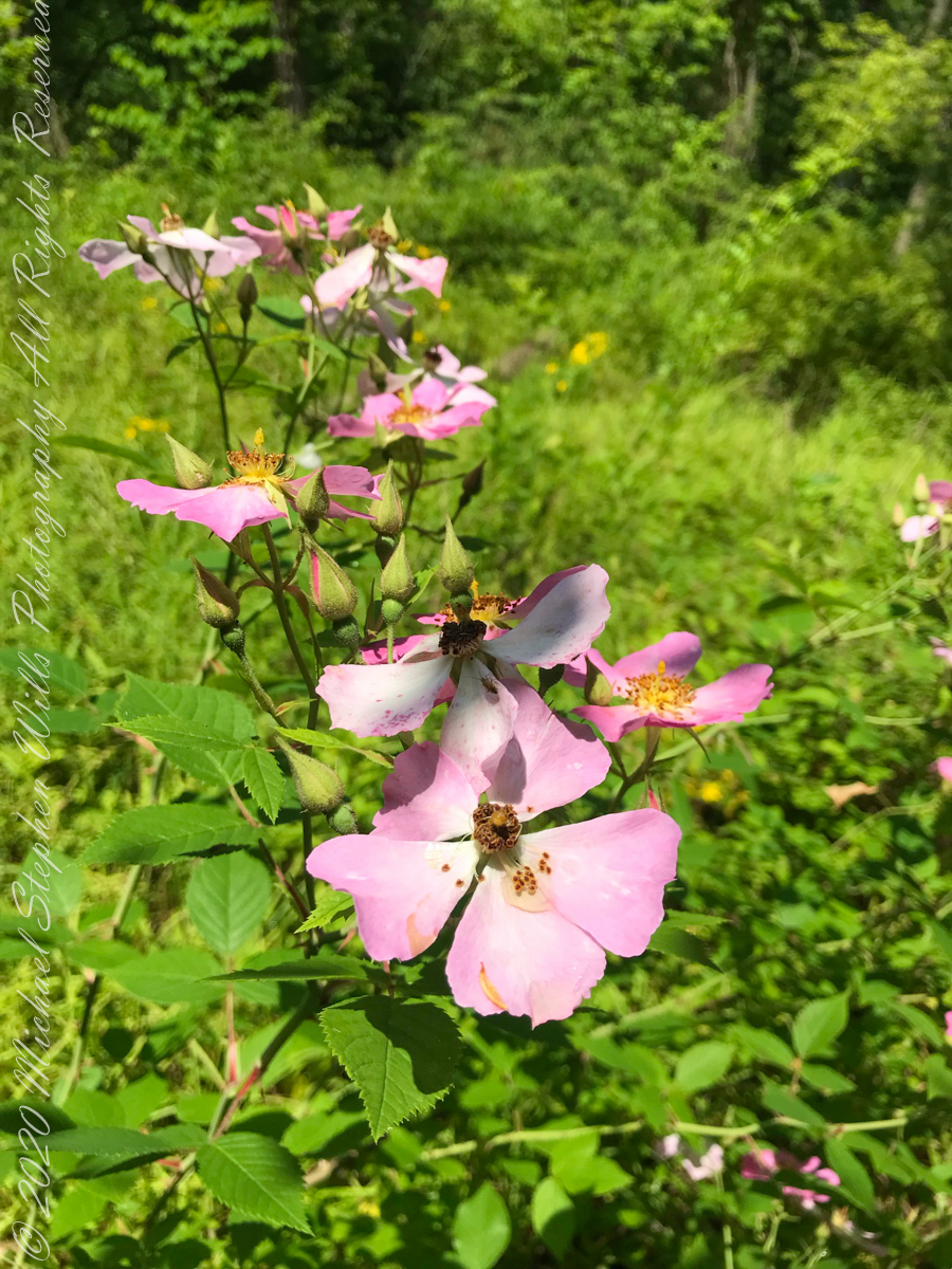
wild roses
Wild rose blooms
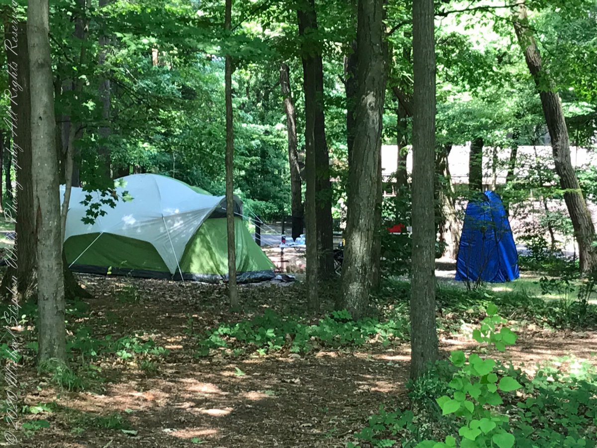
camping on North Rim
North Rim Gorge view
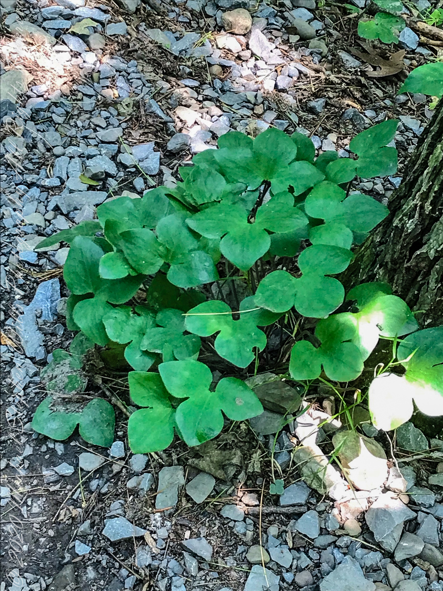
Lobe leaved Hepatica
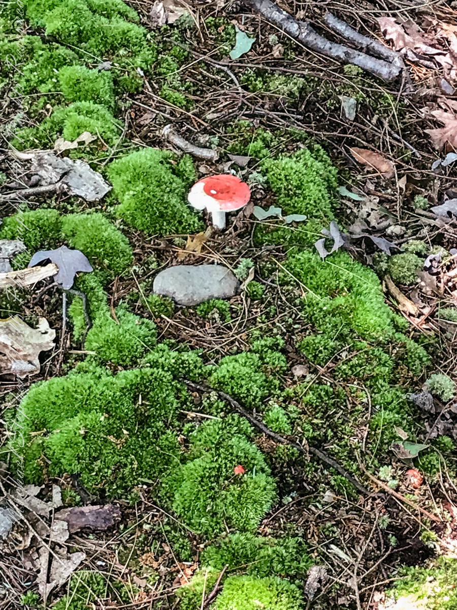
Mushroom and Moss on the “wetter” north rim
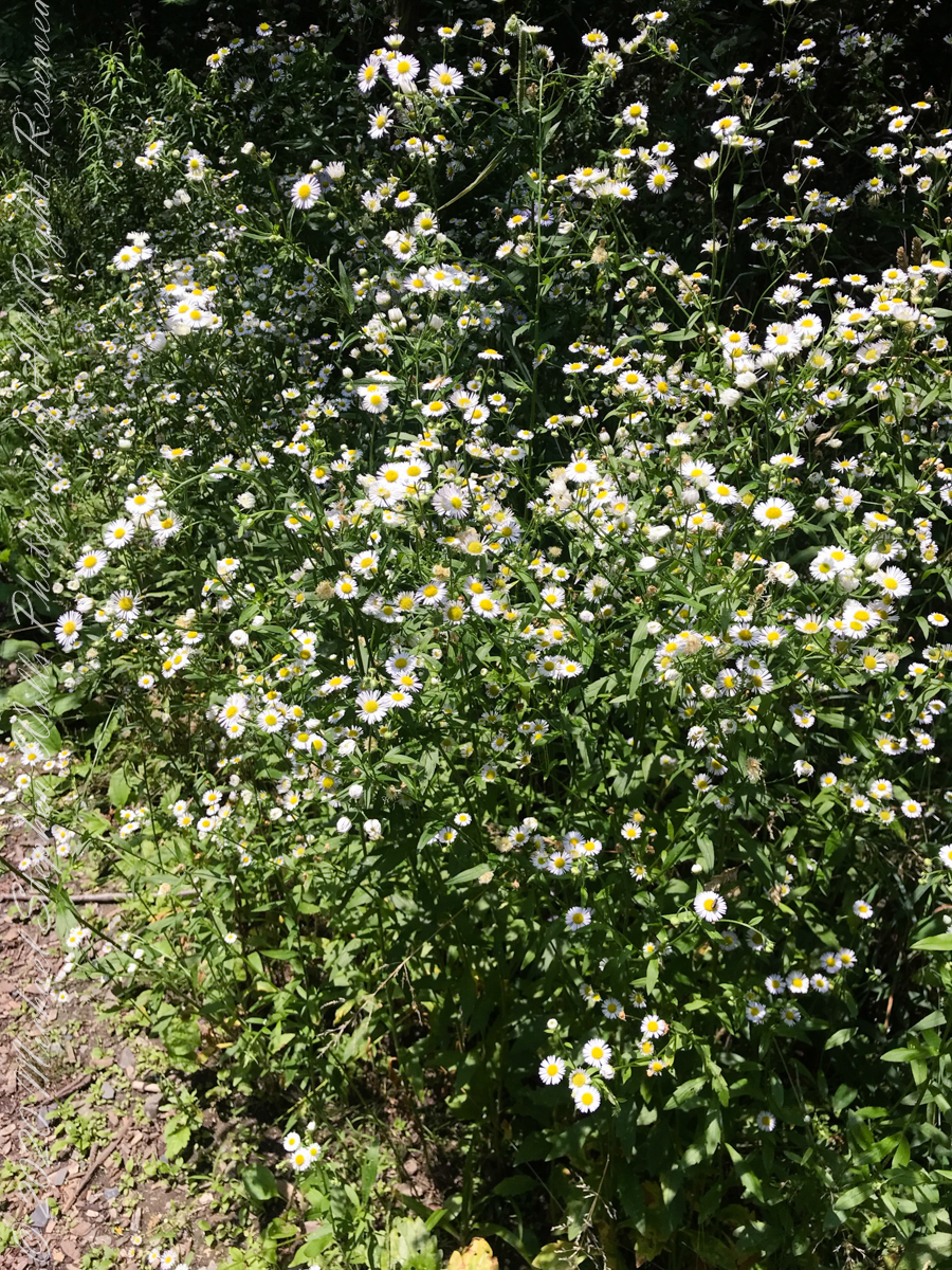
asters, an invasive species
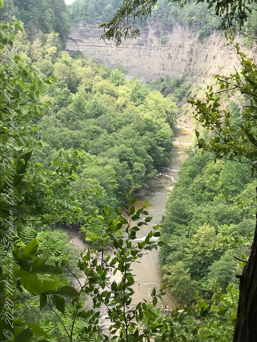
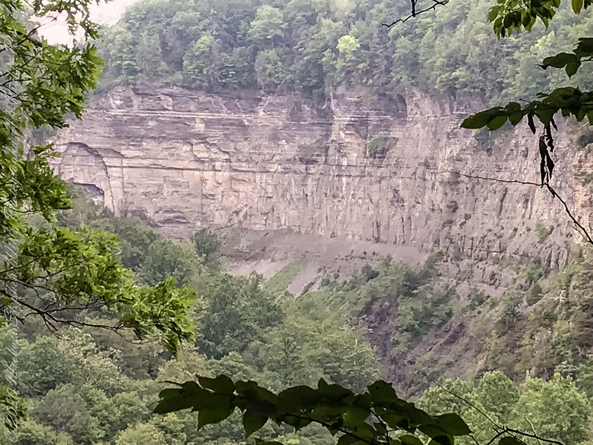
The dramatic and virtually inaccessible gorge above Taughannock Falls
Click the “Watch on YouTube” for a larger format view and more information about each video.
Taughannock Falls Gorge on a humid summer morning
Hemlock Forest on South Rim Trail
Taughannock Falls Gorge from South Rim Trail
Taughannock Falls from South Rim trail
View of Taughannock Falls Gorge from the North Rim trail on a humid summer (July) morning. Turkey Vultures circle overhead…they are there most summer days.
View of the first waterfall of Taughannock Gorge from the railroad bridge linking the North and South Rim trails on a humid summer (July) morning. This large waterfall empties to the gorge above the 210+ foot Taughannock Falls.
Copyright 2021 All Rights Reserved Michael Stephen Wills
One weekend my nephew Chris and I backpacked to Peaked Mountain Pond, the Adirondacks wilderness, in the rain. My son, Sean, was to meet us later. The constant rain made the easy trek into a slog. Our attitude improved after the tents setup and the fire. The skies clear to a brilliant display of the Milky Way away from light pollution.
Peaked Mountain in the light of an August dawn taken from the west pond shore. Siamese Ponds Wilderness, Adirondack Park, New York State. At 2,919 feet, Peaked Mountain is a modest height though it rises an impressive 675 feet in 0.4 mile.
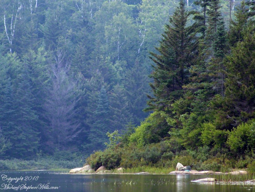
Looking north across Peaked Mountain Pond from the west shore shortly after dawn.
Click the photograph to visit my Fine Art Gallery
We used the canoe as a punt, using a solid branch to push around the shallow pond for short distances, after bailing.
Click the photograph to visit my Fine Art Gallery
Mid-morning, we headed up the trail to the peak. I caught this orb-weaver spider web on the way.
Click the photograph to visit my Fine Art Gallery
…and a detail. Technically, this is a macro. Did not wait around for the owner.
Click the photograph to visit my Fine Art Gallery
Later, in the afternoon, Chris caught some Zzzzz’s in a time out from water gathering. We pumped water through a filter, this is necessary throughout New York State to avoid giardia infection.
Click the photograph to visit my Fine Art Gallery
The ultimate in peace and tranquility, though disturbing a hornet pollinator can lead to excitement. This water lily bloom was caught with a tripod mounted long lens. Look closely for the hornet at work inside the flower. HHealthy water lily leaves are the epitome of tranquility because they are always clean, giving the illusion of tranquility. Scientists study water lily leaves to learn how the leaf surface sheds dirt. Imagine self-cleaning cloths.
Correction: it is the Lotus leaf, not lily pad, that is self cleaning.
Looking for the perfect photo for your web site and blog?
Browse my reasonably priced stock photography. This blog features seven (7) photographs I published today to Getty Istock and my Fine Art gallery.
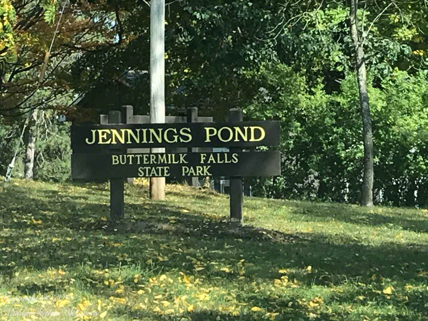
Tom Knight, “has been delighting children and their grown-ups with his original, interactive, musical puppet show since 1988,” in 2018 Pam, myself and the grandchildren were lucky enough to catch his act at Cornell University Johnson Museum. His CD, “Purple Pumpkin Pie” is in the car and, pre-Covid, I’d play it in the car while riding with the grandchildren.
“Jennings Pond,” a song on that CD, mentions a local town, Danby. Until last week I did not think twice about it. Driving into Ithaca, heading north on Route 13, there’s a compelling view down a valley. I’ve taken exploratory drives down there on the West Danby-Spencer road, seeing what there is to see. A week ago last Sunday, turning left at West Danby, up the hill forming the east valley wall, on Station Road, then Bald Hill Road, passing by the Finger Lakes Trail through Danby State Forest, on the right I spied a compelling open area, a pond, and this sign….
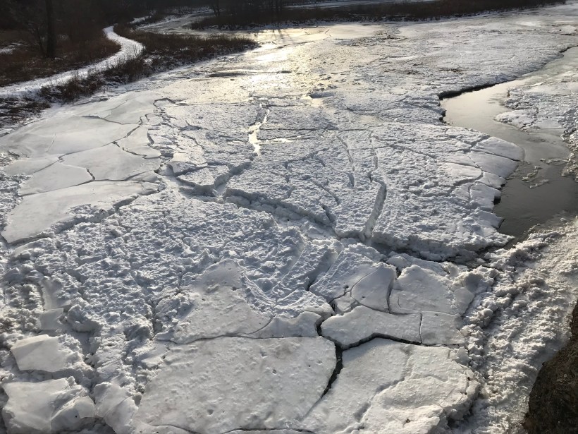
I proceeded onto a footbridge over the pond outlet, the source for Buttermilk Creek,…….
…and continued to a footpath, southeast and away from the pond. Toward the Finger Lakes Trail? I left this adventure for another day.
Copyright 2020 Michael Stephen Wills All Rights Reserved