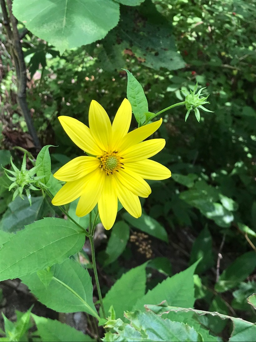
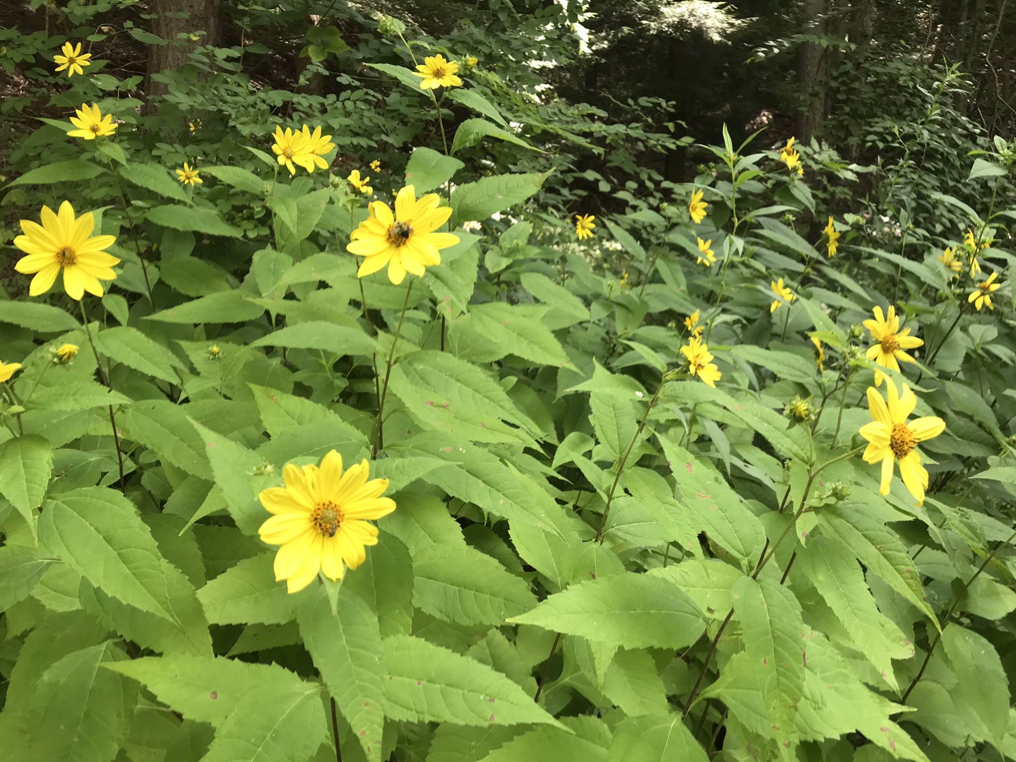
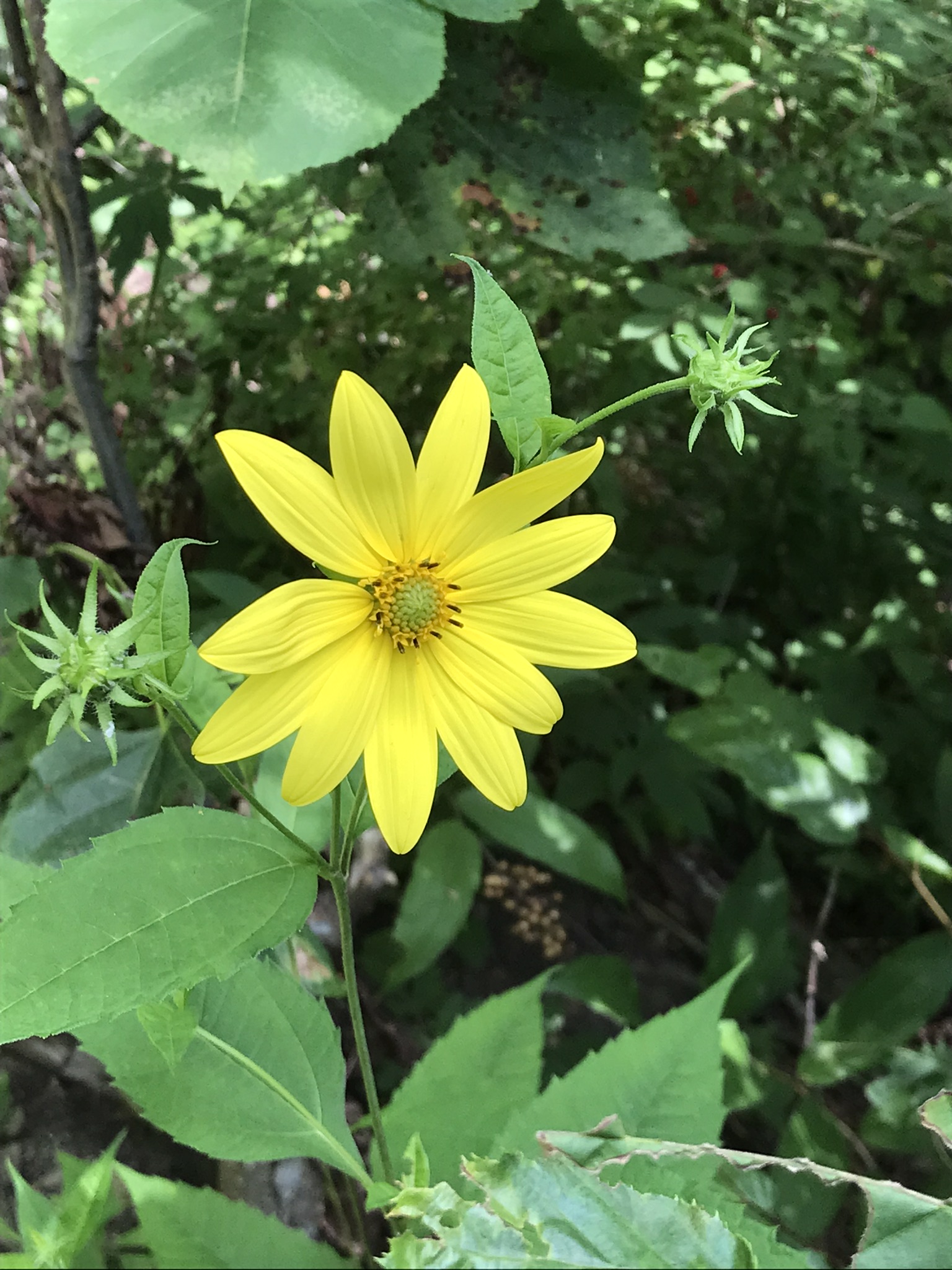
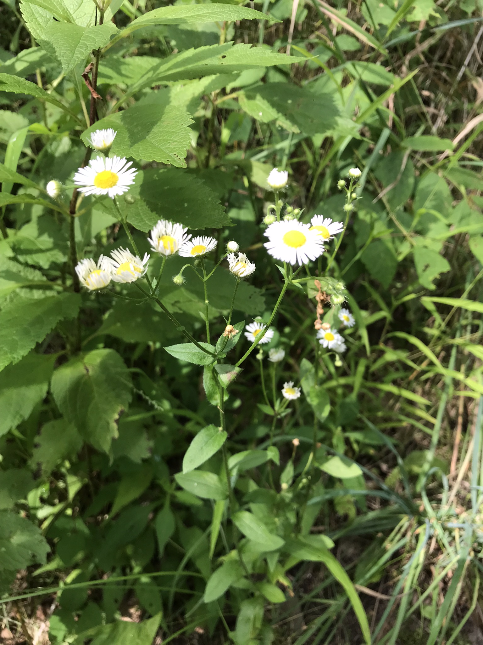
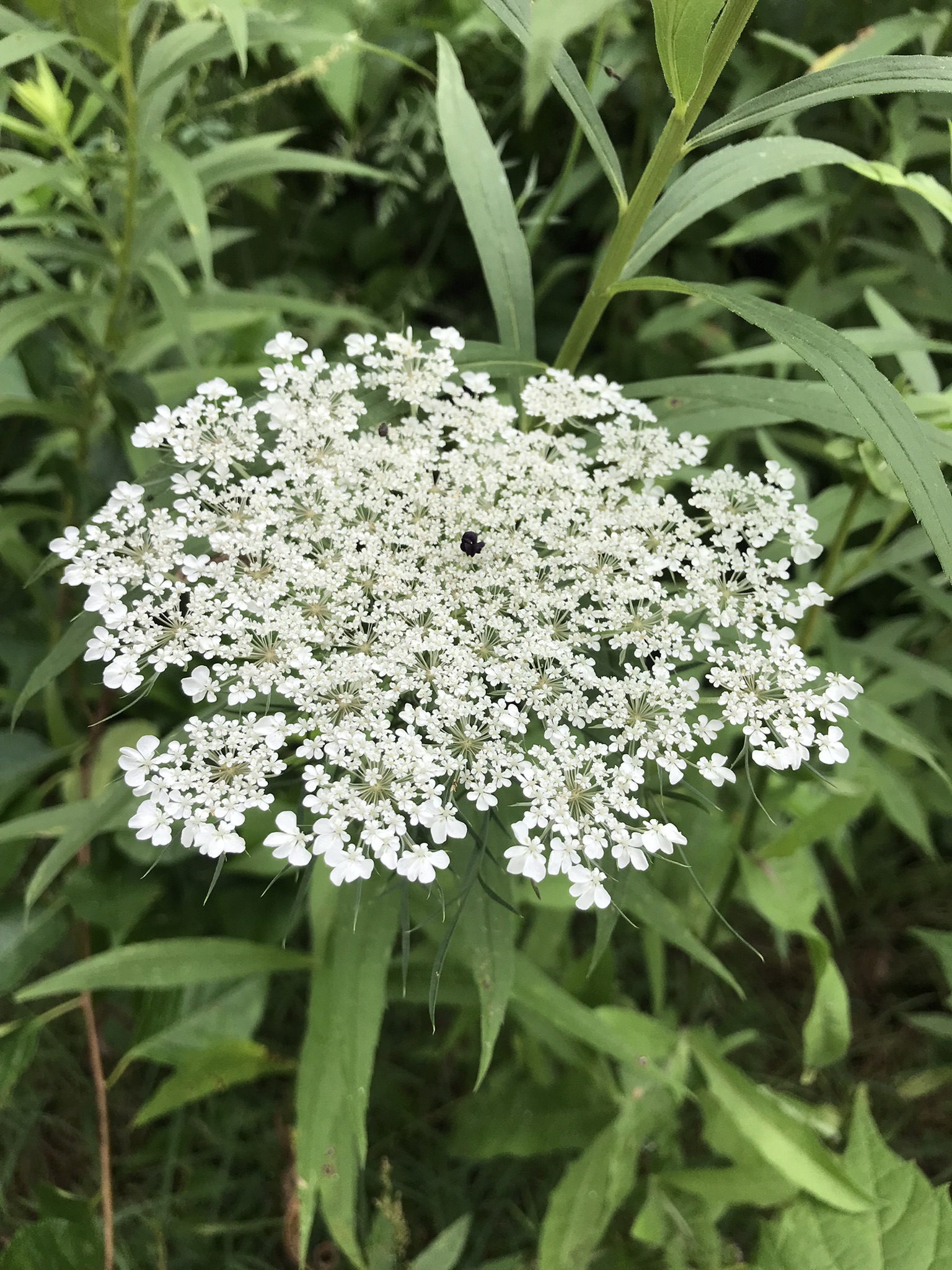
“Out in the meadow, I picked a wild sunflower, and as I looked into its golden heart, such a wave of homesickness came over me that I almost wept. I wanted Mother, with her gentle voice and quiet firmness; I longed to hear Father’s jolly songs and to see his twinkling blue eyes; I was lonesome for the sister with whom I used to play in the meadow picking daisies and wild sunflowers.”
from “Laura Ingalls Wilder, Farm Journalist, Writings from the Ozarks” edited by Stephen W. Hines”
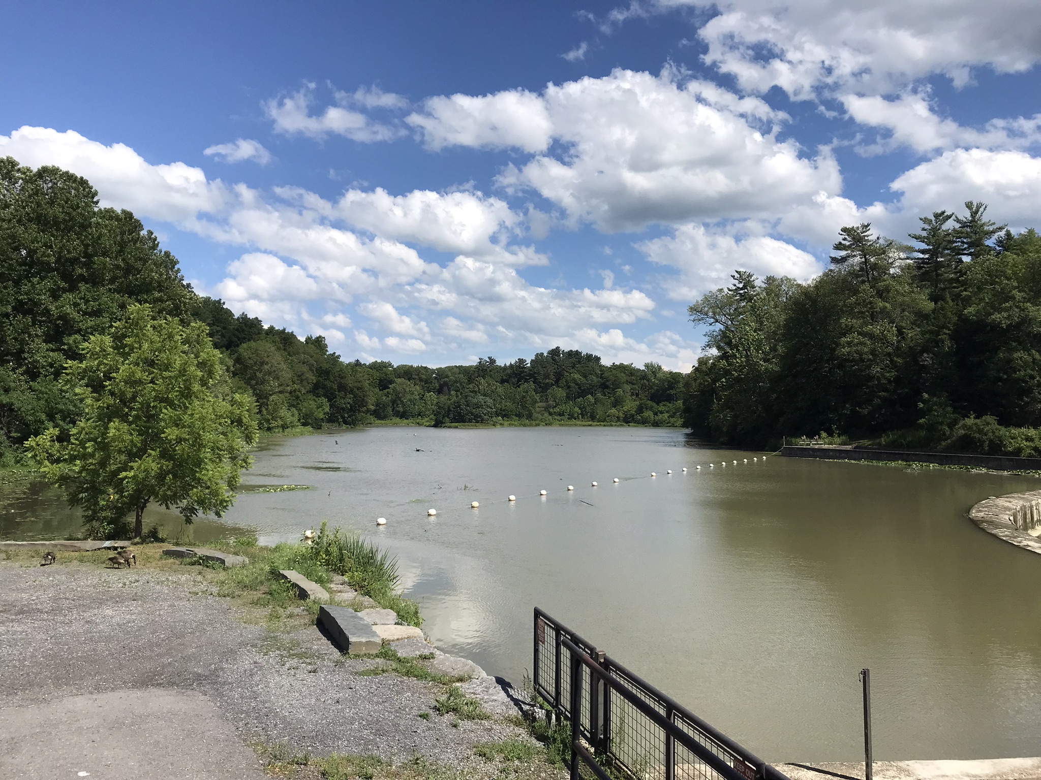
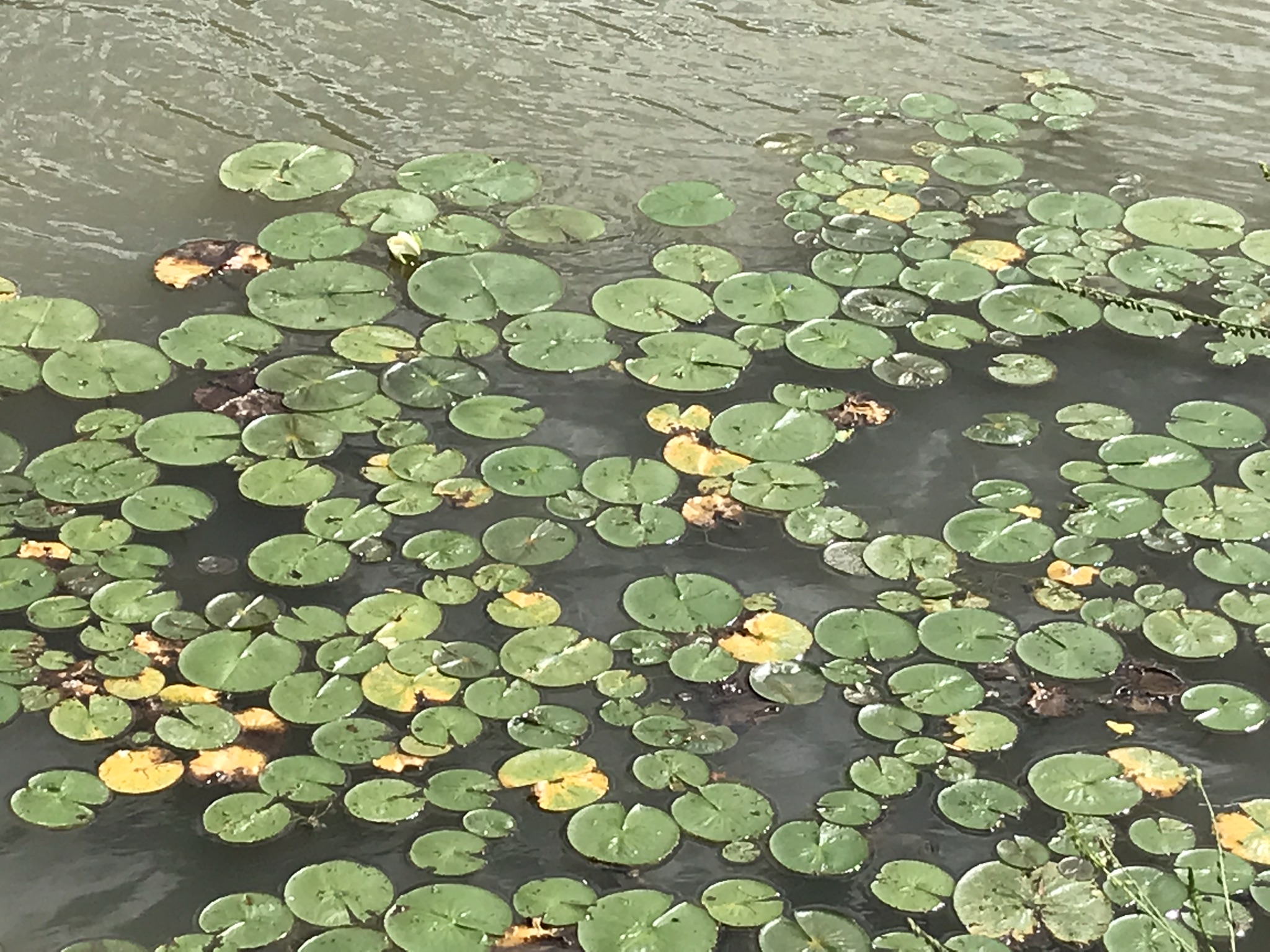
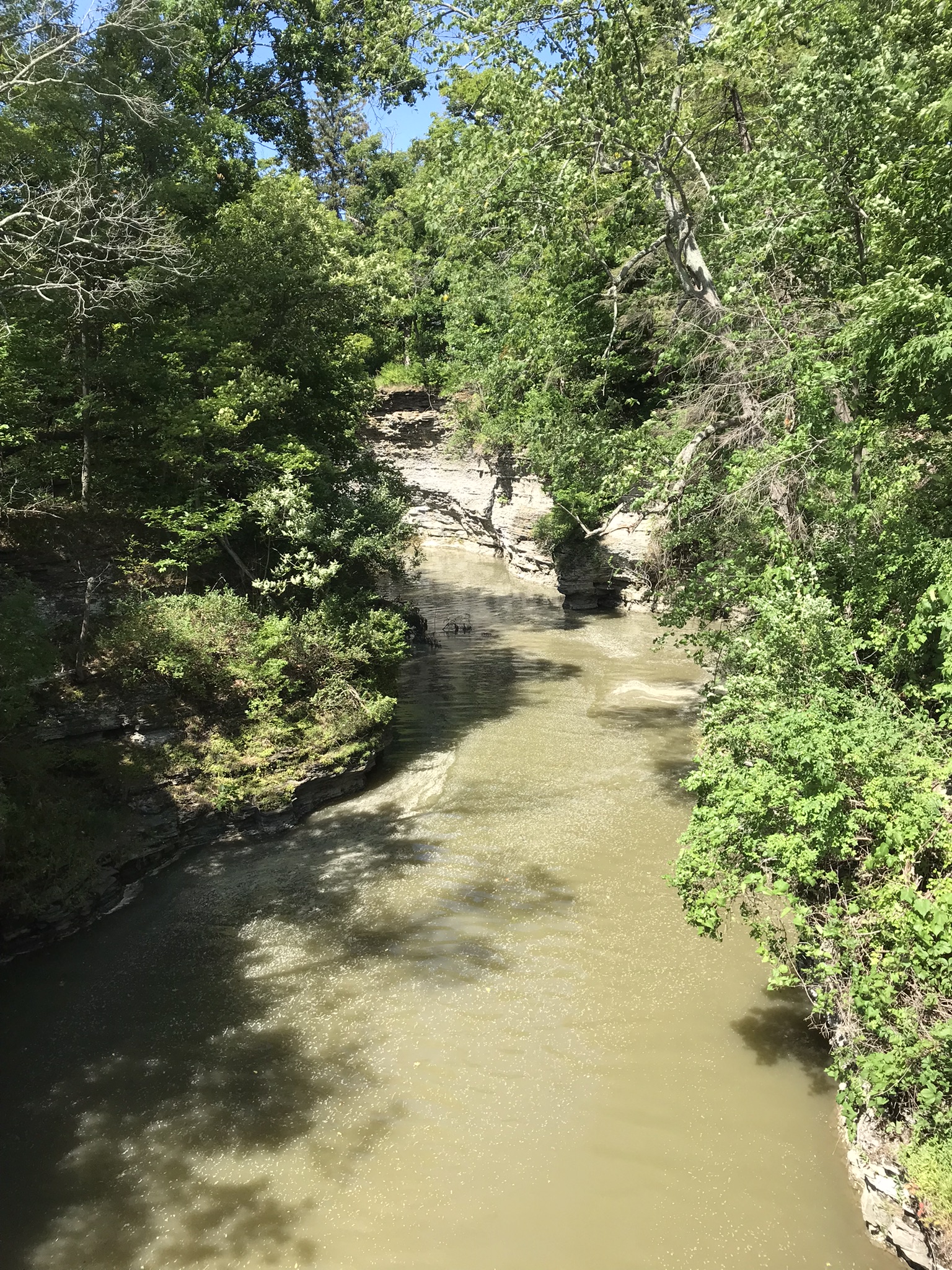
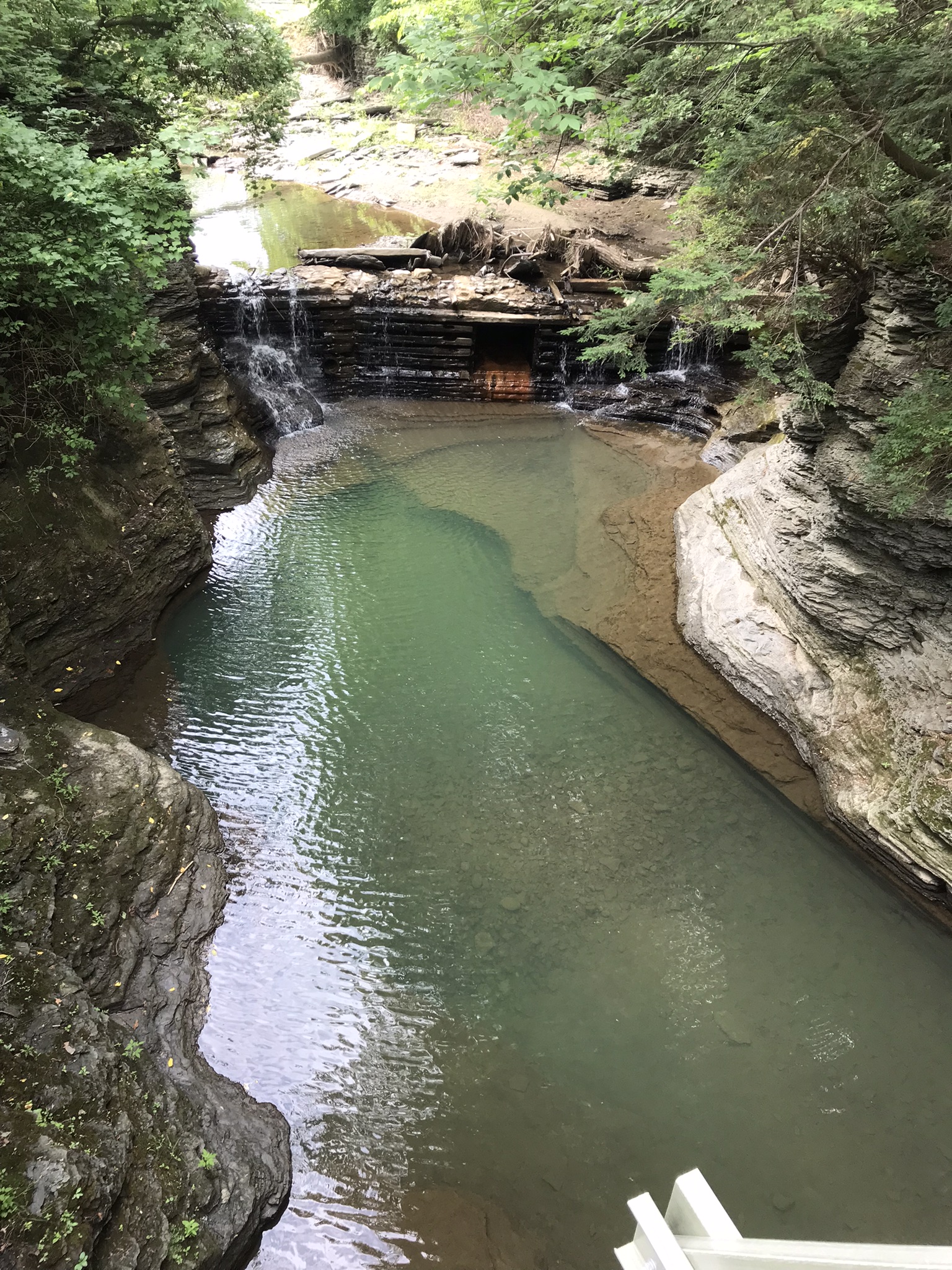
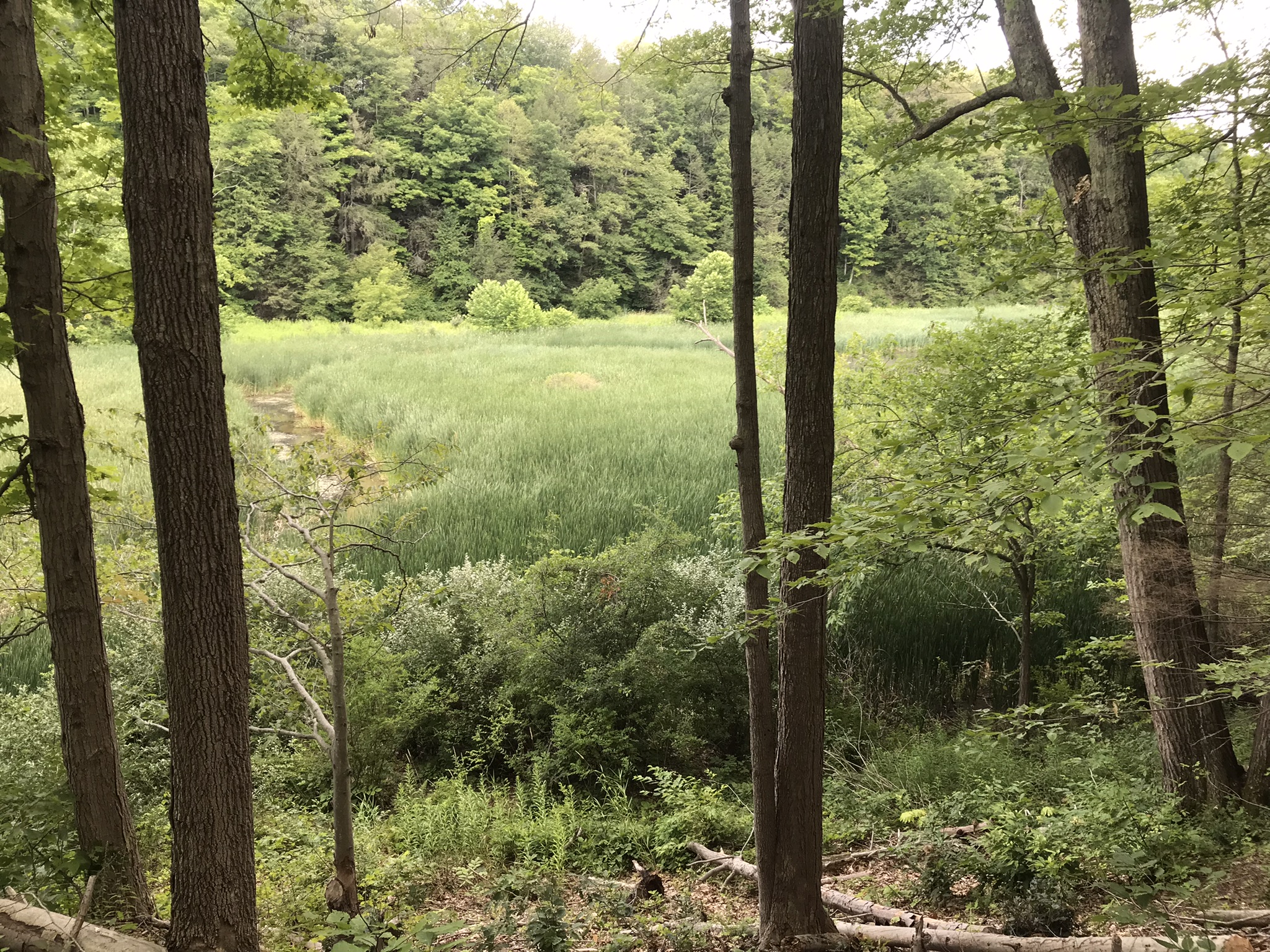
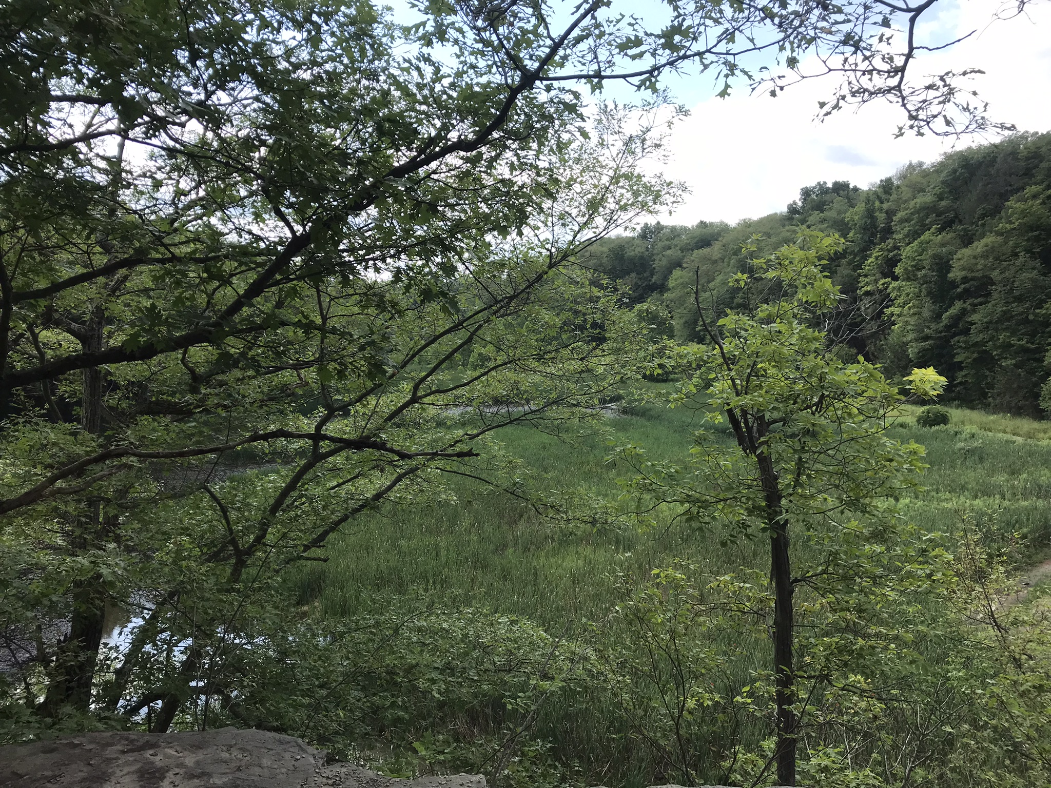
Trail sign at starting pointBeebee LakeLily Pads flowering on the north side of Beebee LakeFall Creek Gorge flooded by Beebee Lake dam
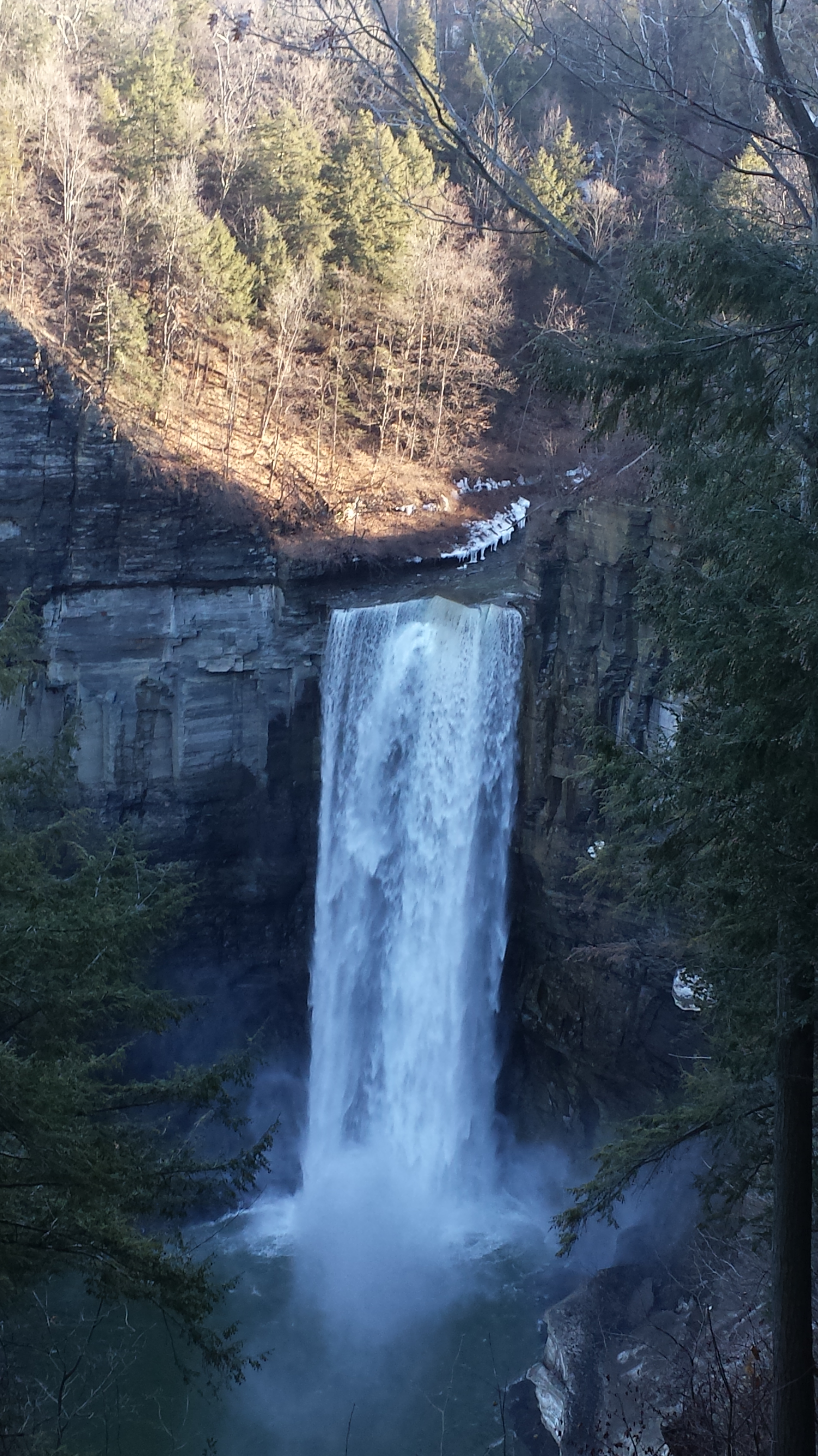
Taughannock Falls
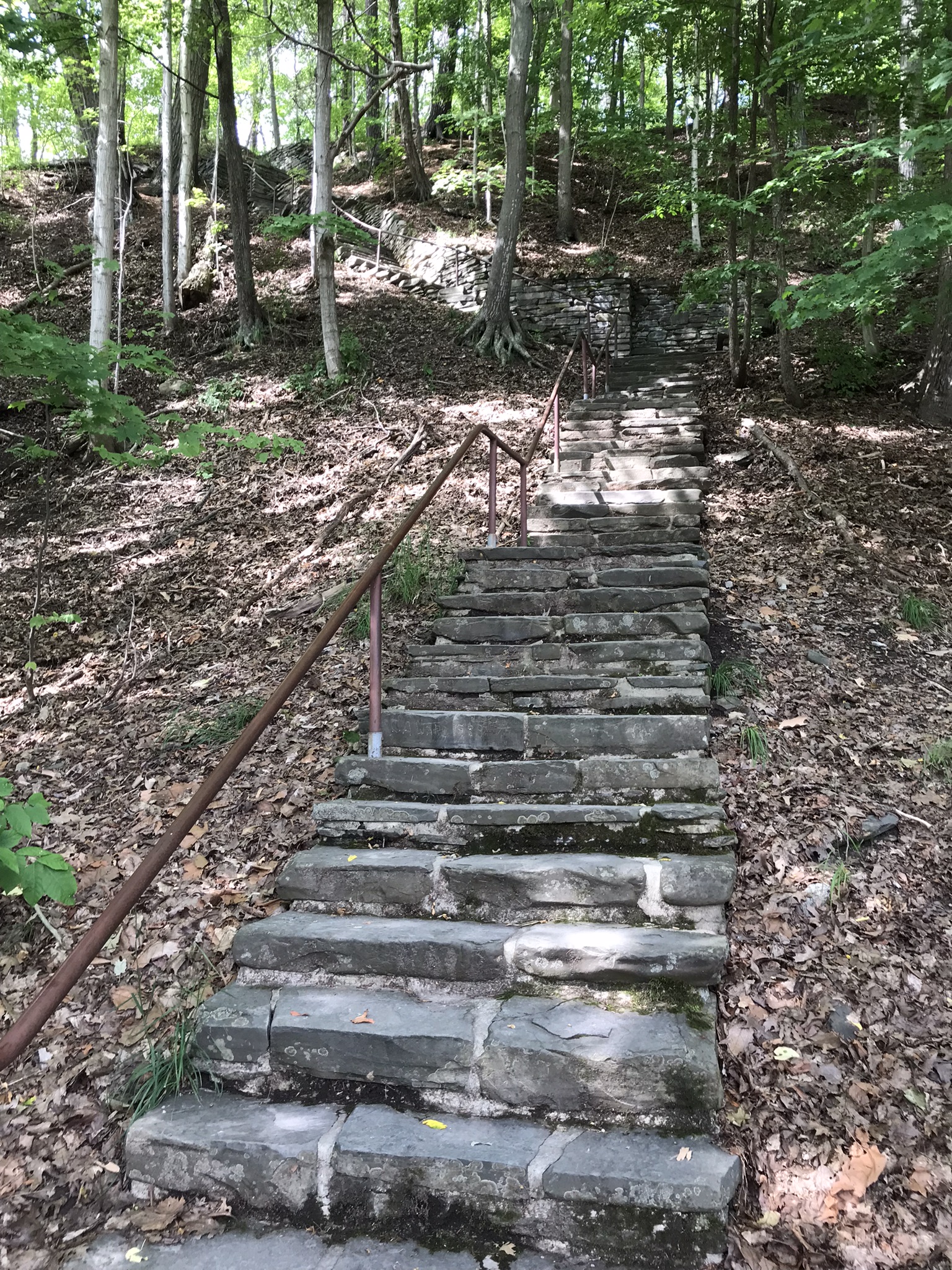
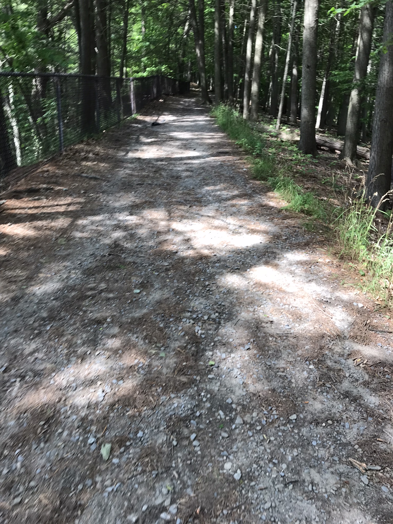
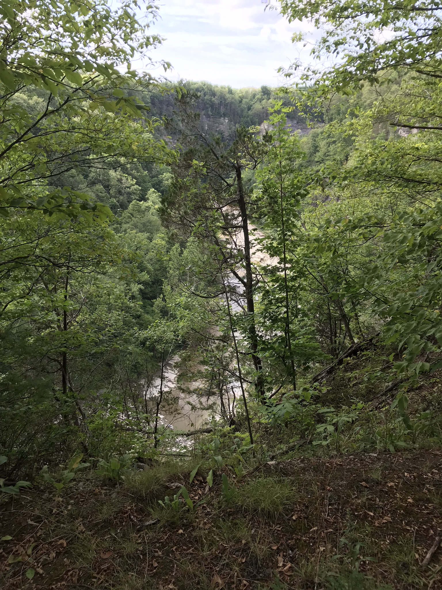
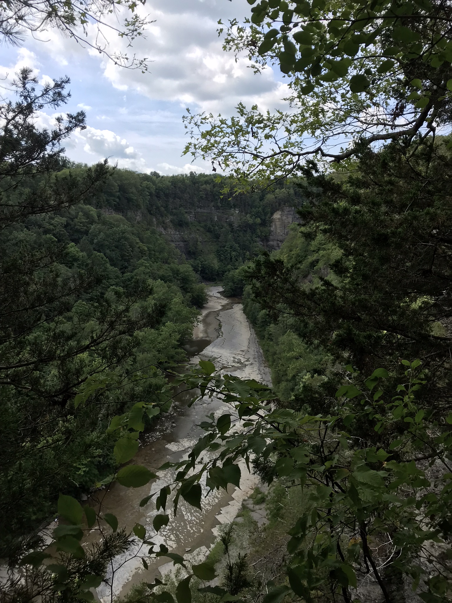
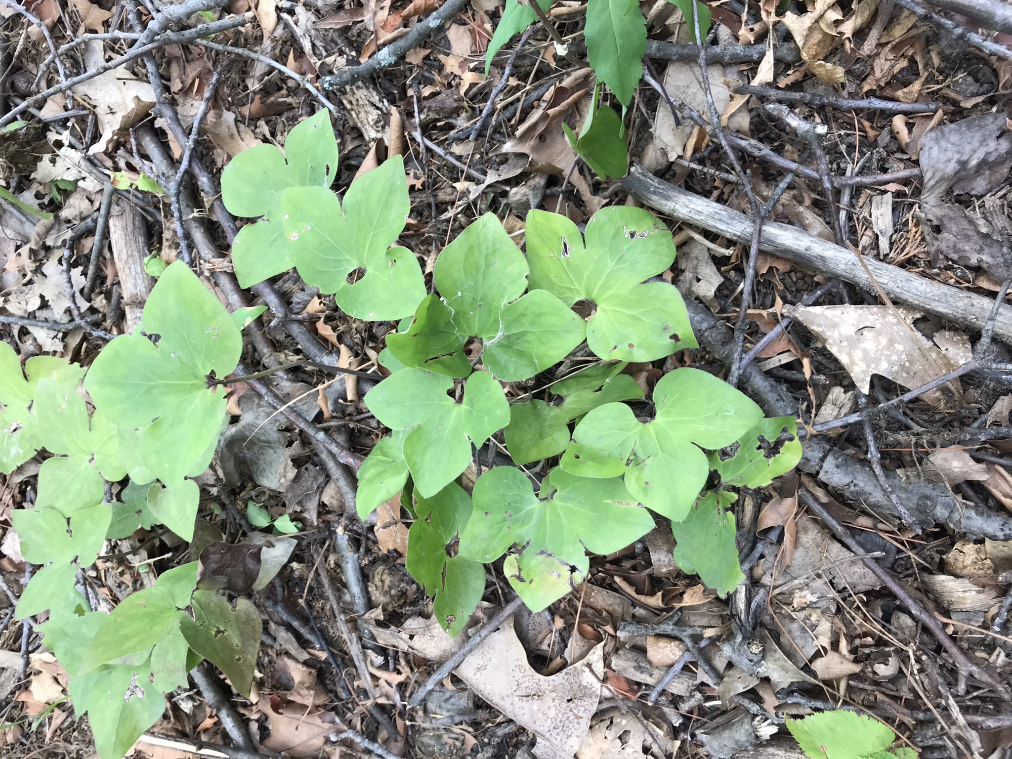
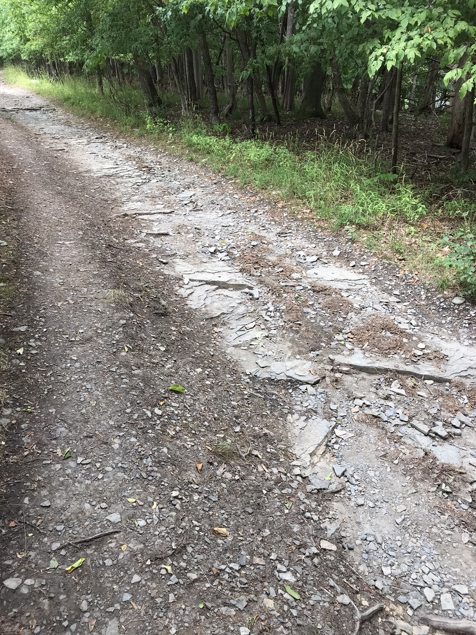
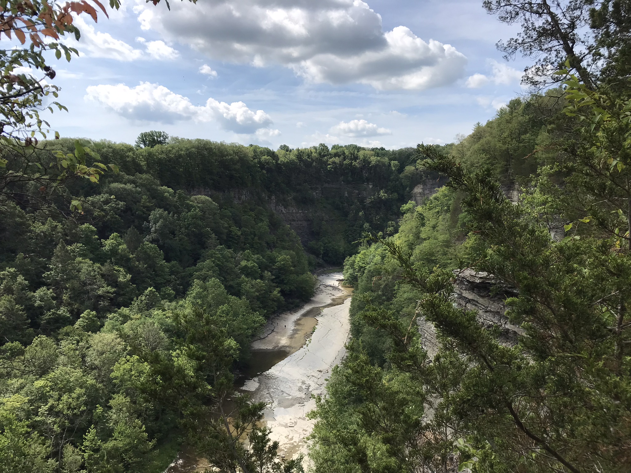
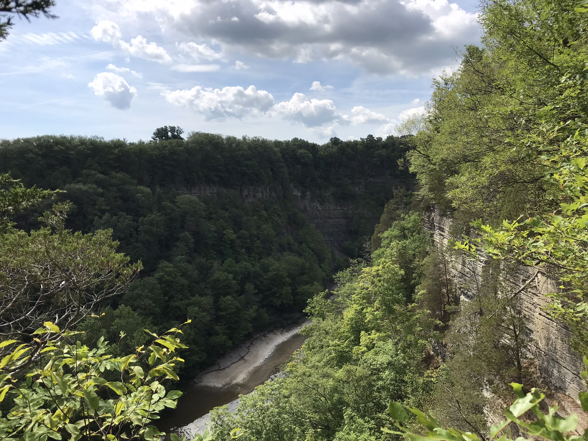
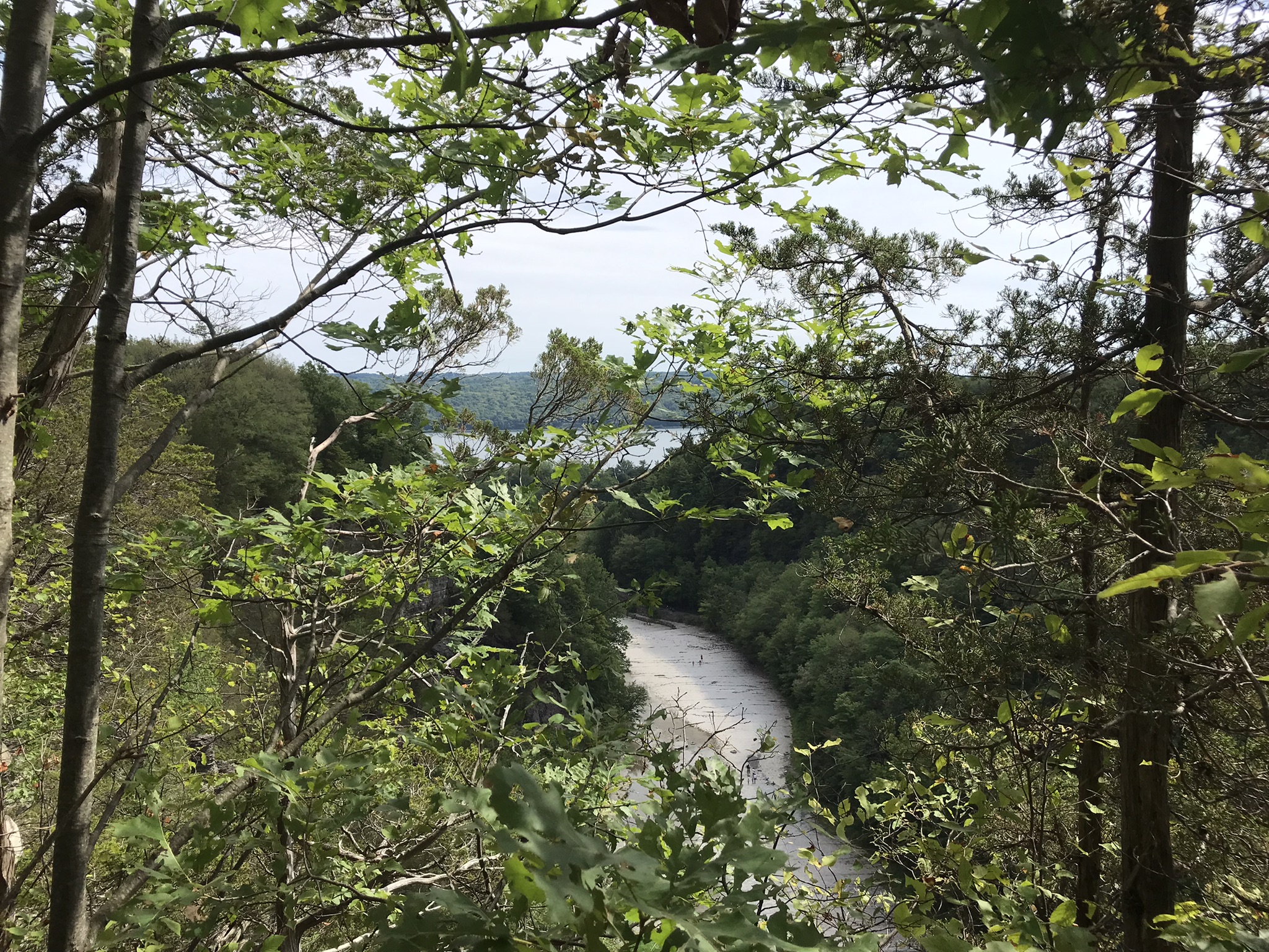
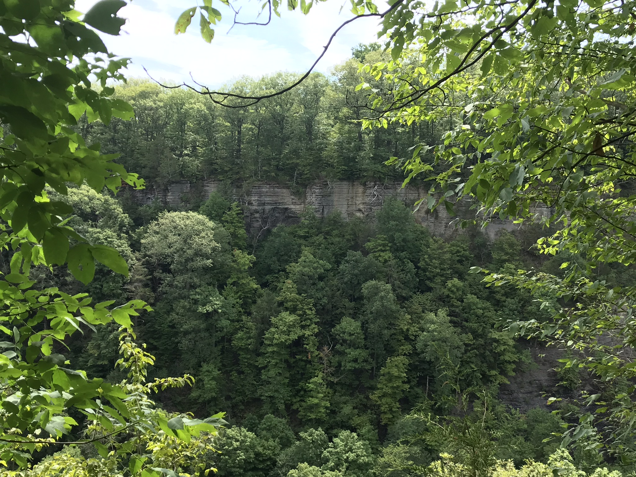
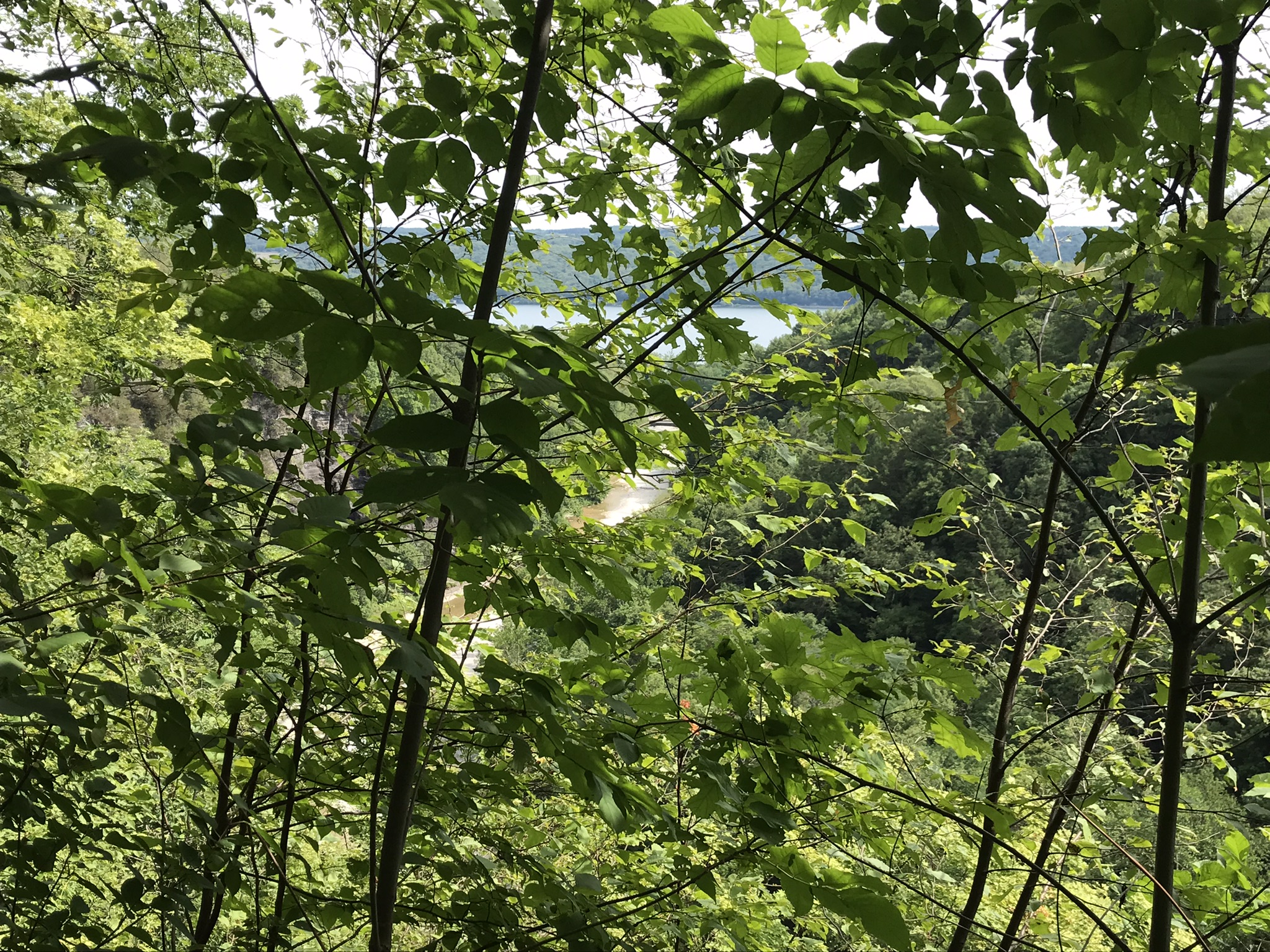
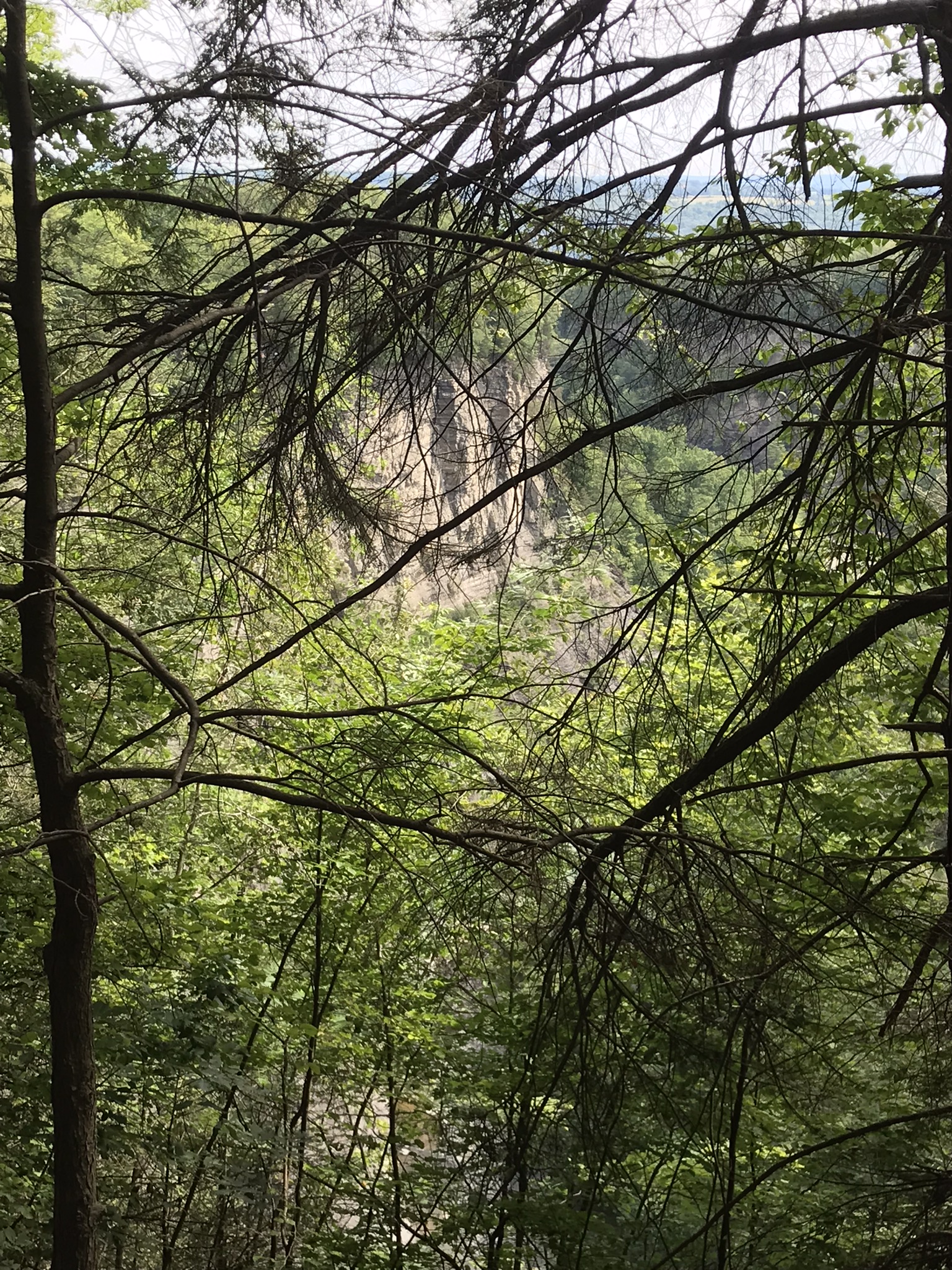
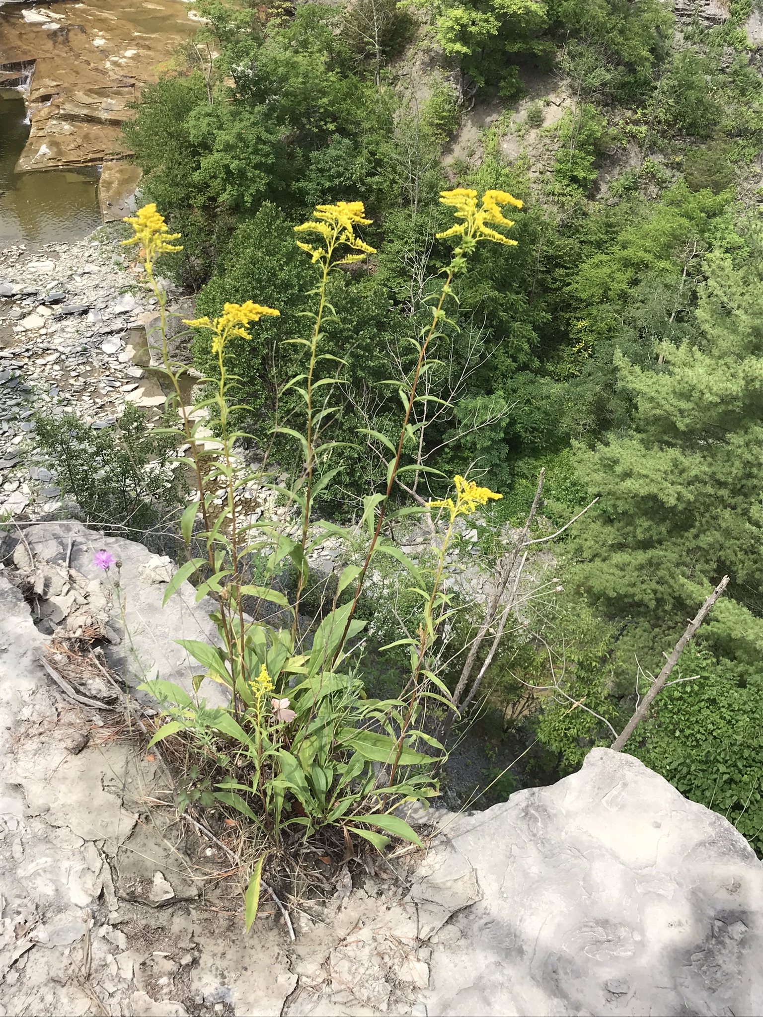
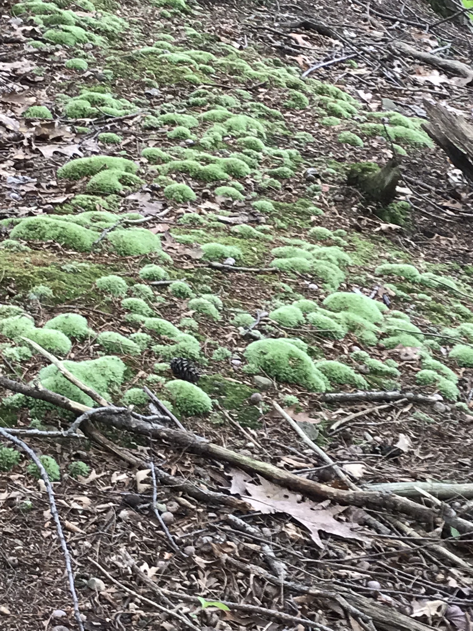
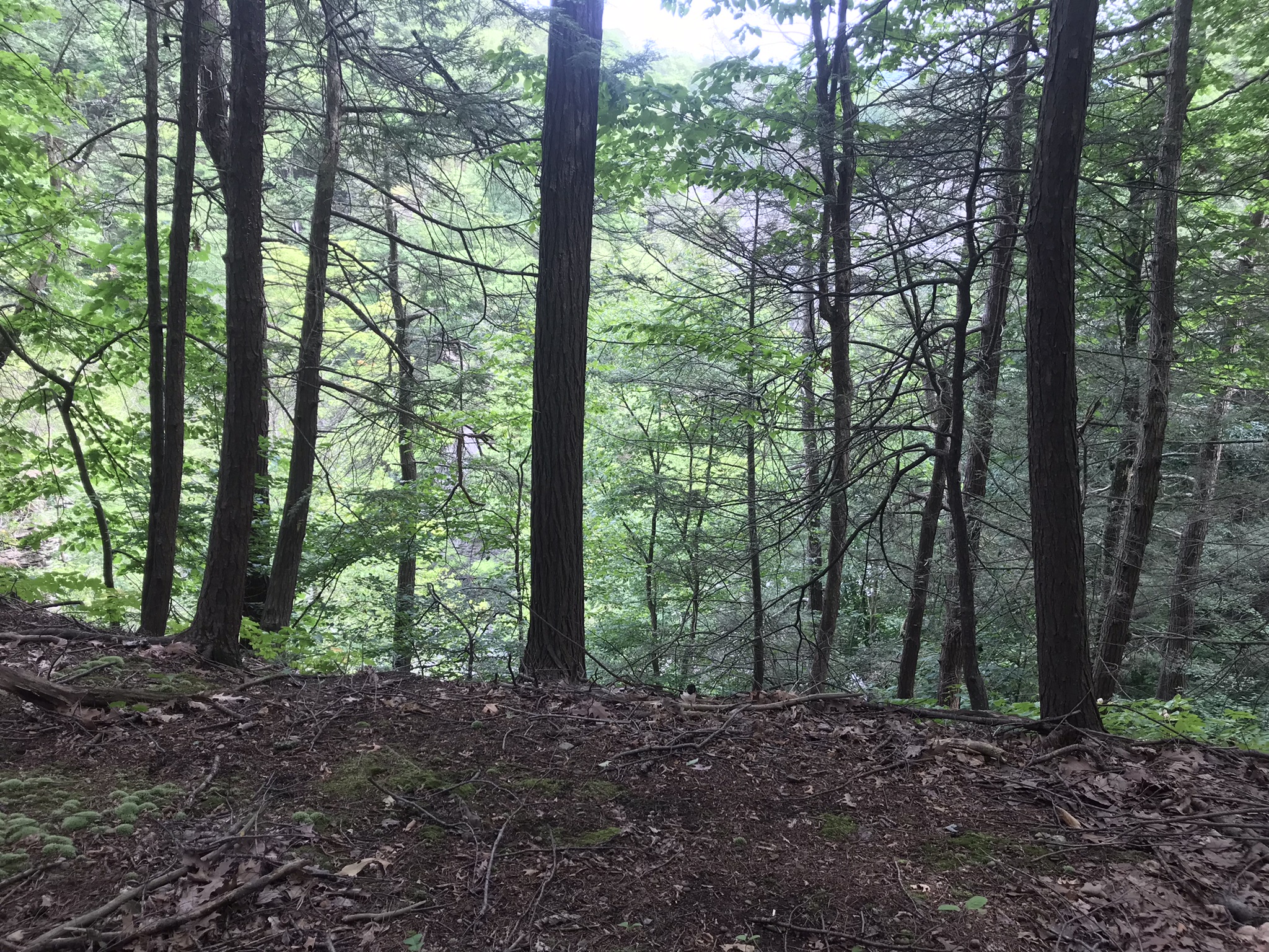
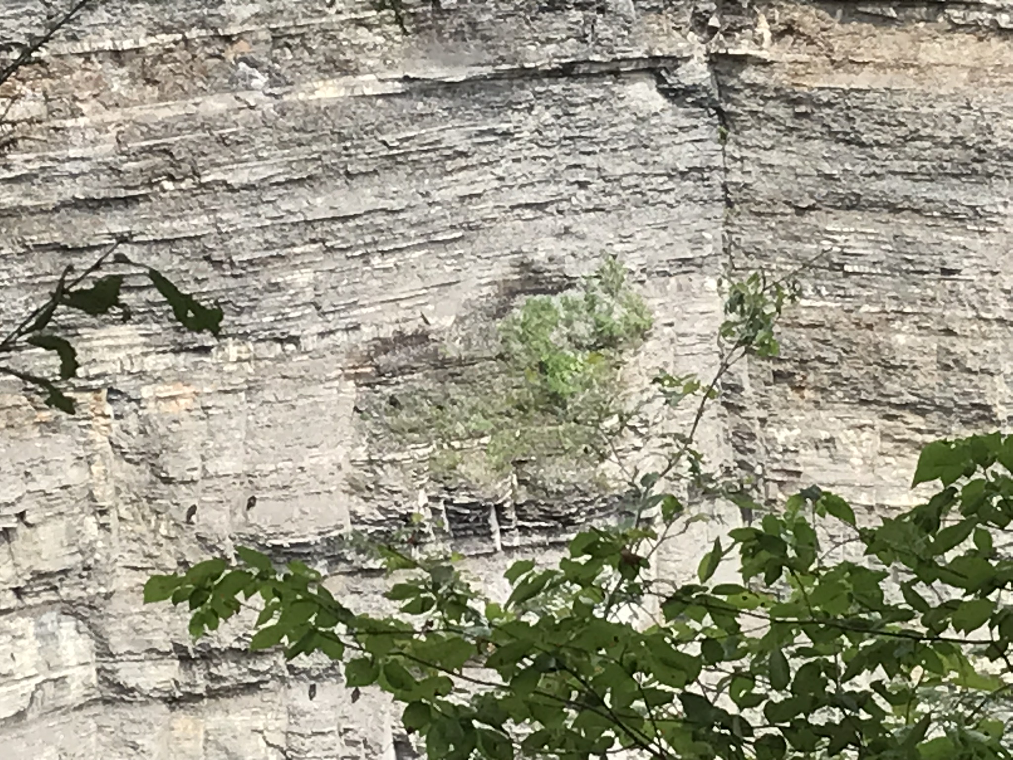
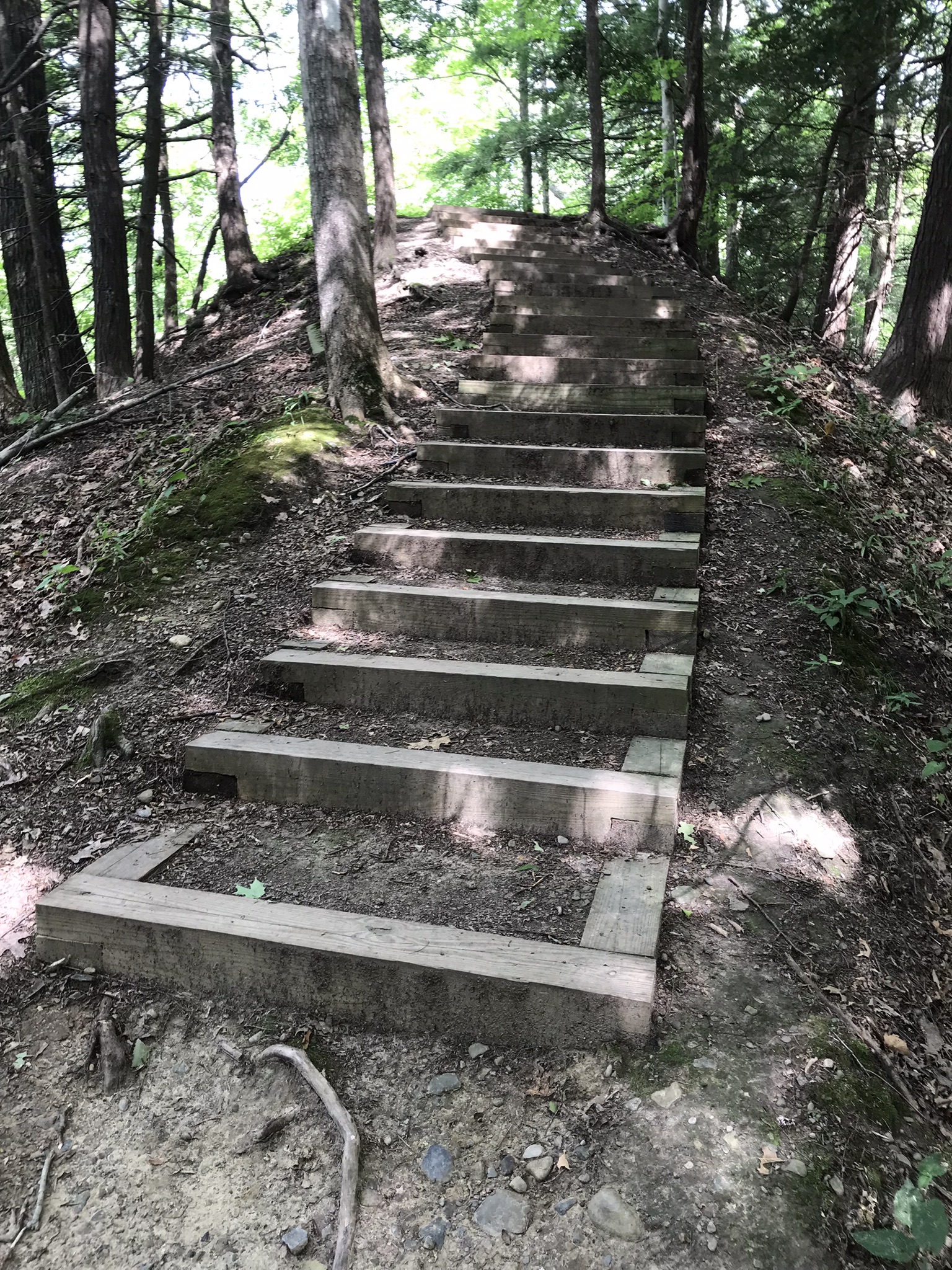
Stairs to North Rim from Cayuga Lake shoreuphill all the wayfirst view pointsecond view pointHepatica leavestrail erosionthird view pointfourth view point, northfourth view point, south with Cayuga Lake in distancefifth view point, east with only the south gorge rim visiblefifth view point, south wiht distant view of Cayuga Lakelooking into the gorge just below the fallssouth rim trail, looking into the upper gorge with native plantsmoss looking into the gorgeVultures perched on gorge walls above and around Taughannock Falls
Buttermilk Falls, upper
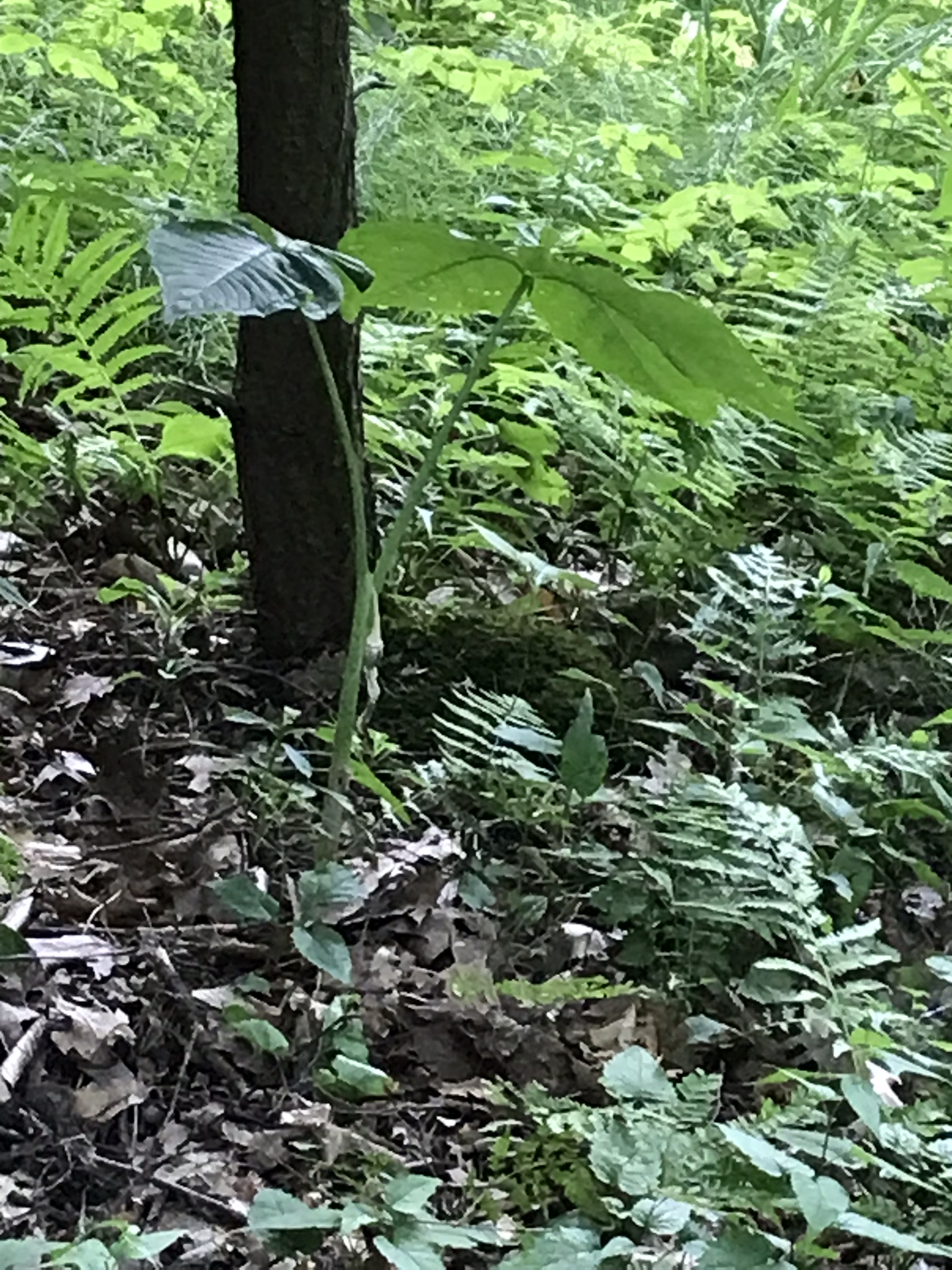
Jack in the Pulpit with spent flowerTreman Lake
A quiet moment……
Copyright 2022, Michael Stephen Wills All Rights Reserved
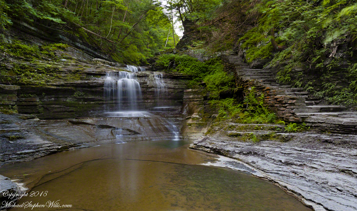
Friday last Pam and I joined a “James Potorti Memorial Gorge Walk” through Buttermilk Falls State Park where we learned interesting facts connected to one of my most successful photographs, “Summer Dream: Buttermilk Falls.” This is the fourth post of this series.
Starting Point
Buttermilk Falls State Park has two parks, upper and lower. Friday’s hike began at lower park. Using GoogleEarth I see the half mile trail along the lower gorge climbs 506 feet, 355 feet of this is ascended in 300 steps in the first quarter mile. Here is a view of the magnificent cascade that greets lower park visitors.
To my knowledge, nobody has ascended the creek bed at this point. The climb is not impossible, people with technical rock climbing skills and equipment can do it. We use the trail. Most often, Pam and I visit the upper park and walk down the gorge to the top of this ascent. Friday, we walk up with everyone else.
Creek Level Photographs
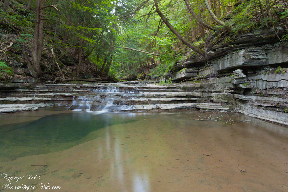
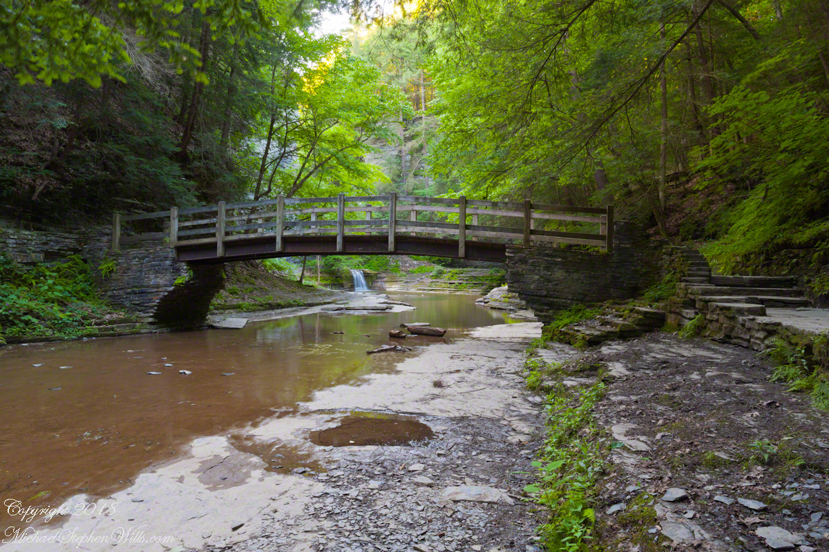
On a July morning 2018 I walked Buttermilk Creek from the scene of my “Summer Dream: Buttermilk Falls”, up the steps on the right of that photograph to where the water flows across a flat expanse of stone. The following three photographs from that walk were taken using a tripod mounted Canon EOS 1DS Mark III body with the Canon lens EF 24mm f/1.4L II USM w/a neutral density filter (0.6 as I recall).
Click any photograph for a larger view.
Natural steps
Low Flow
The “secret” behind my successful “Summer Dream: Buttermilk Falls” photograph is waiting for a seasonal low creek flow. For the same reason, this is a safe time to walk this part of the creek to capture the scene. See the previous post, “Walking Buttermilk Creek”, for the entry to this creek level walk. Attempting to walk the creek in other seasons can be fatal….there is a plaque along the trail memorializing an attempted rescue during a March flood where two people died: the rescued and the rescuer.
At high water the creek gouged a channel through the limestone creek bed
James Potorti was a native of Ithaca who perished at 52 years of age in New York City on September 11, 2001 were he worked on the 96th floor of 1 World Trade Center.
Copyright 2022, Michael Stephen Wills All Rights Reserved
Friday last Pam and I joined a “James Potorti Memorial Gorge Walk” through Buttermilk Falls State Park where we learned interesting facts connected to one of my most successful photographs, “Summer Dream: Buttermilk Falls.” This is the third post of this series.
On the path vs. in the creek
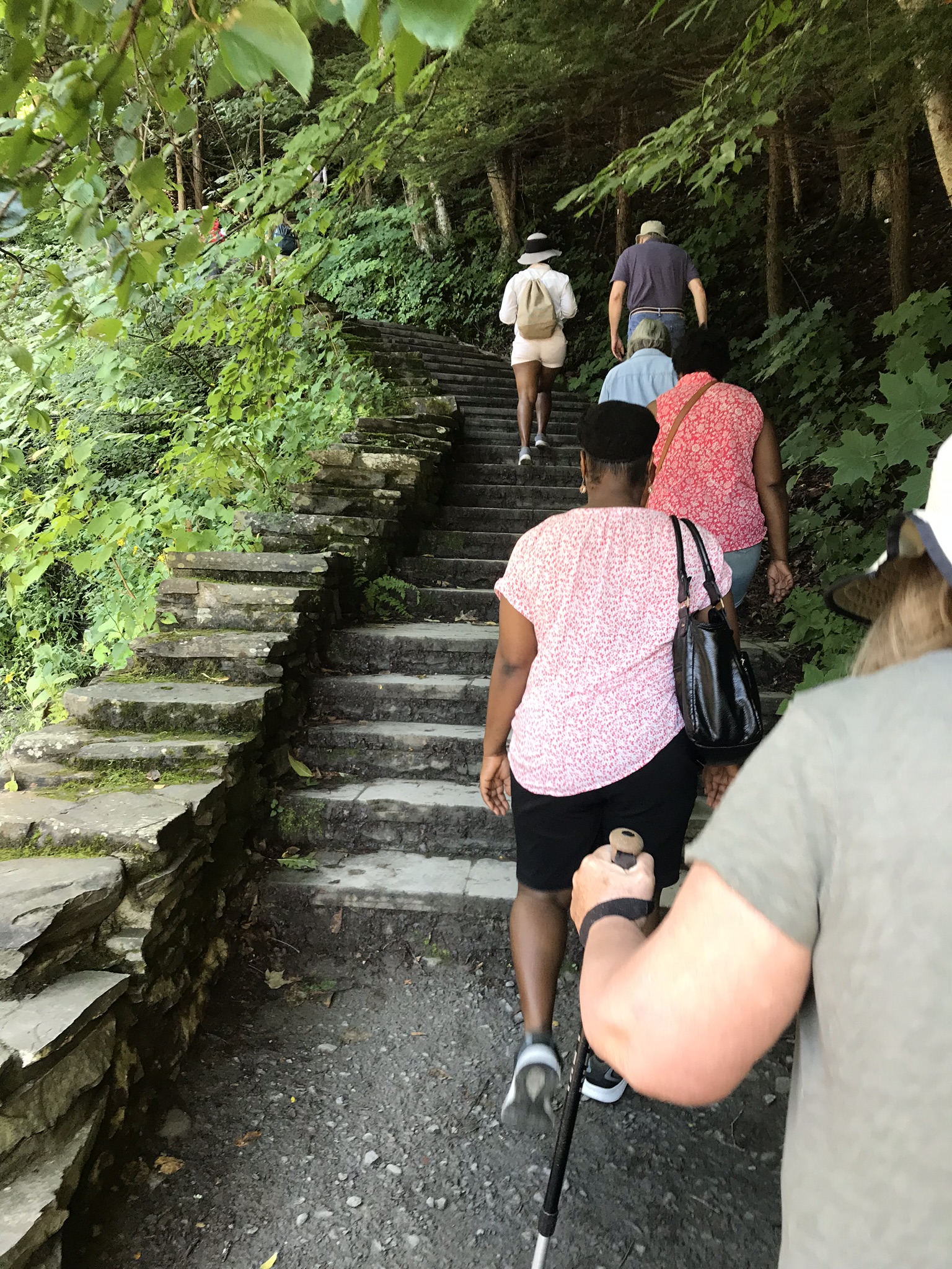
Friday’s hike began at the bottom, here we are at the start of the 400 foot climb, 300 steps, along cascading waterfalls.
Responsible Adults Staying on the path
Everyone stays on the path at this point, here is a video that demonstrates why.
Falls along the 300 step climb
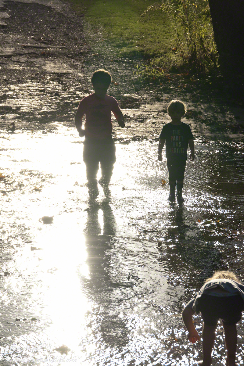
Hiking with the grandchildren we prefer the upper park, walking along the road to a place where the creek flows over the pavement. They love taking off shoes and jumping in.
Click any photograph for a larger view.
Children wading Buttermilk Creek, take note of the shirt, “The Party Has Arrived.”
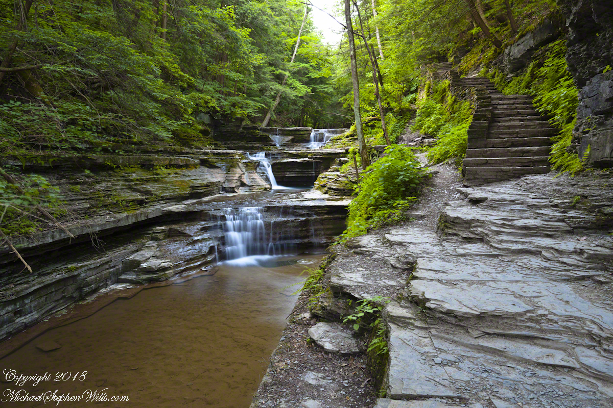
On a July morning 2018 I walked Buttermilk Creek from the scene of my “Summer Dream: Buttermilk Falls”, up the steps on the right of that photograph to where the water flows across a flat expanse of stone. This photograph from that walk was taken using a tripod mounted Canon EOS 1DS Mark III body with the Canon lens EF 24mm f/1.4L II USM w/a neutral density filter (0.6 as I recall).
Off the Path
Here is where the creek bed is flat enough to allow me to follow it when I wear waterproof boots. Note: it is against park rules to do this and the fines are steep, although some summer days it is a free-for-all of visitors in bathing suits, it looks like the beach. This session started shortly after sunrise, around 5:30 am at the best lighting, so there were no witnesses. When the sun shines over the gorge rim there are too many hot spots, the contrast between shadow and sunlight is too distracting.
In Memorium
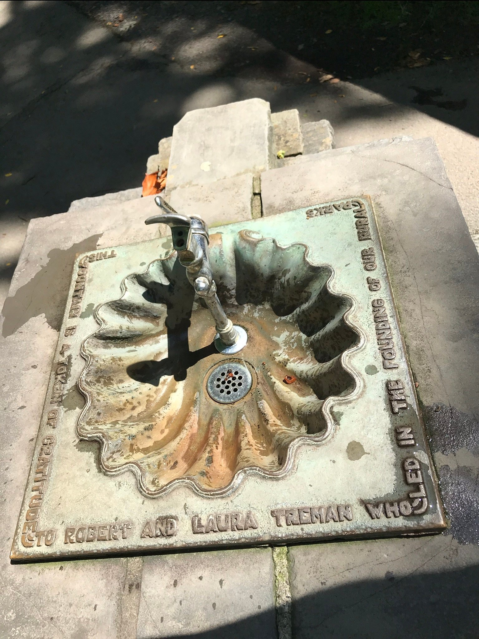
Friday is the first visit I noticed this bronze water fountain in the lower park. The land for the park was an early 20th Century donation. The inscription text is in the photograph caption.
“This fountain is a token of gratitude to Robert and Laura Treman who led the founding of our rural parks.”
James Potorti was a native of Ithaca who perished at 52 years of age in New York City on September 11, 2001 were he worked on the 96th floor of 1 World Trade Center.
Copyright 2022, Michael Stephen Wills All Rights Reserved
Friday last Pam and I joined a “James Potorti Memorial Gorge Walk” through Buttermilk Falls State Park where we learned interesting facts connected to one of my most successful photographs, “Summer Dream: Buttermilk Falls.” This is the second post of this series.
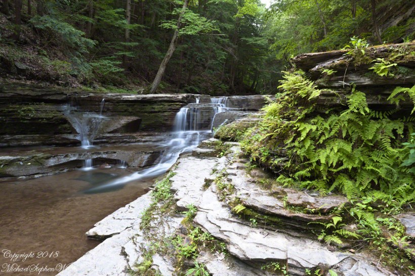
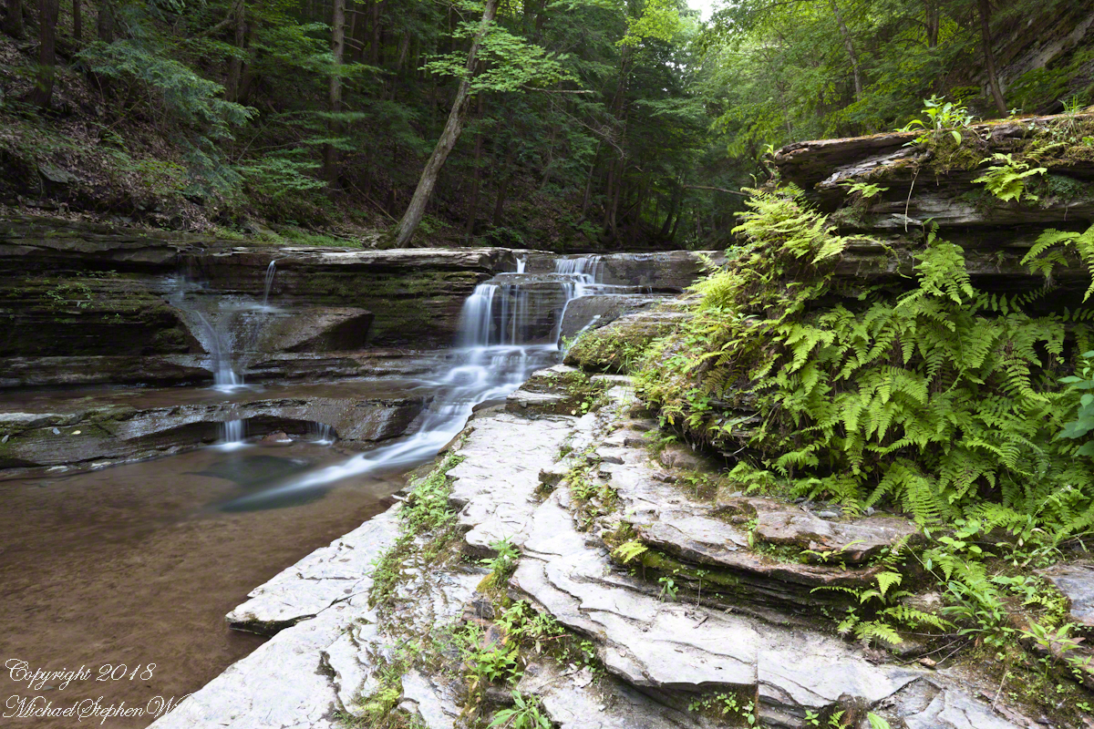
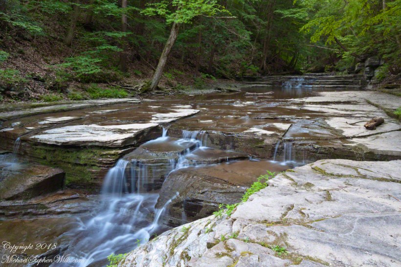
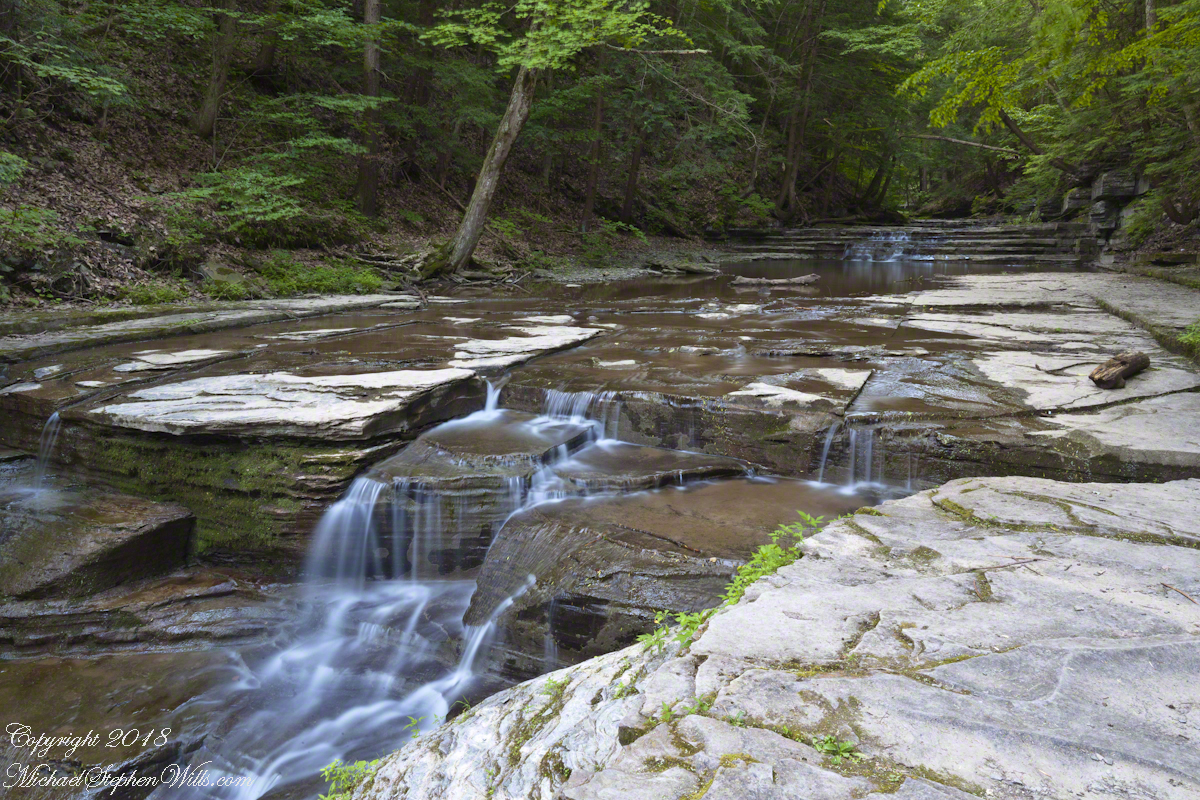
On a July morning 2018 I walked Buttermilk Creek from the scene of my “Summer Dream: Buttermilk Falls”, up the steps on the right of that photograph to where the water flows across a flat expanse of stone. This is a photograph of that expanse taken using a tripod mounted Canon EOS 1DS Mark III body with the Canon lens EF 24mm f/1.4L II USM w/a neutral density filter (0.6 as I recall).
Click photograph for a larger view.
“Summertime Cascades – 2018”
For a scene from nature there are many straight lines and, even, right angles in addition to the layering of the sedimentary rock from its origin as eroded material from the ancient Arcadia mountains collected on the floor of a warm shallow sea. We learned from Friday’s walking tour this sea was close to the equator at that time, riding on a tectonic plate that’s since drifted north. This North American Plate jostling with the others.
Beneath these rocks were older formations in which decomposed organic matter had transformed to methane gas. When the African plate and this pressed together, the stressed rocks weakened at right angles to the force, each stress point joining others in straight lines. The methane gas pressure from below forced the weak points to open a straight line fractures.
As the plates continued to move, orientation to the African plate transformed by ninety degrees and the two pressed together again. Methane gas pressure was present, causing straight line fractures at right angles to the others. Everywhere these rocks are exposed across the Finger Lakes region we see these right angle fractures.
In Memorium
James Potorti was a native of Ithaca who perished at 52 years of age in New York City on September 11, 2001 were he worked on the 96th floor of 1 World Trade Center.
Copyright 2022, Michael Stephen Wills All Rights Reserved
Join us on a journey through Buttermilk Falls State Park, where we uncover fascinating geological facts that shape the gentle cascades of “Summer Dream: Buttermilk Falls.” Discover the hidden beauty of this serene landscape.
Early one Friday morning Pam and I joined a “James Potorti Memorial Gorge Walk” through Buttermilk Falls State Park where we learned interesting facts connected to one of my most successful photographs, “Summer Dream: Buttermilk Falls.”
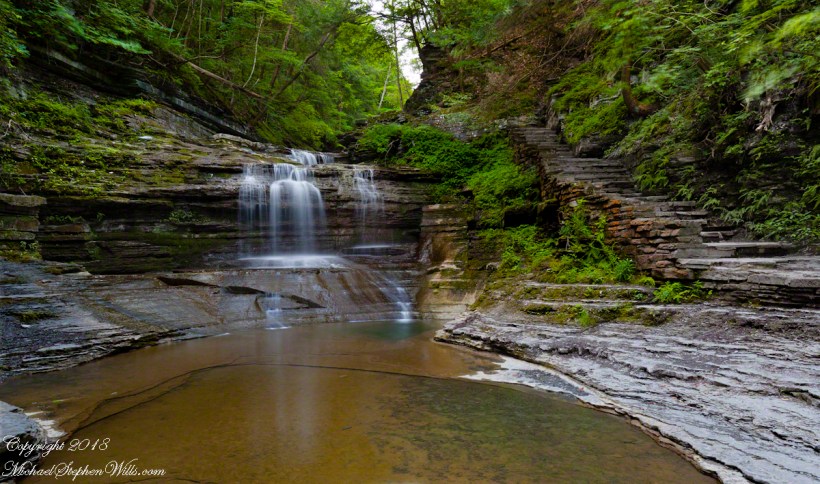
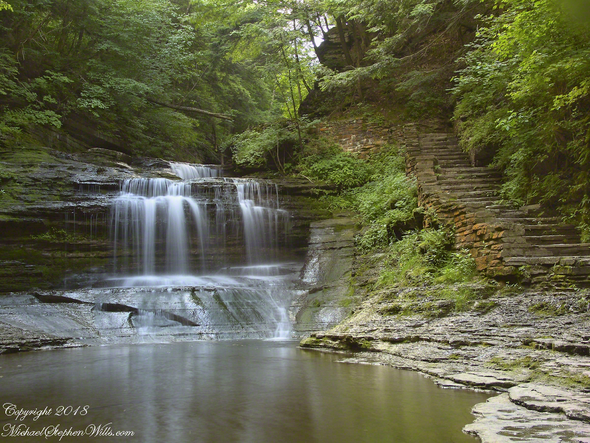
Presented here is the original photograph from July 2004 and an second version, produced July 2018. Both were produced at a low flow after many days without rainfall. The first learned fact is a significant water source for Buttermilk Creek and all the Finger Lakes gorge creeks, is ground water percolating through the sedimentary rocks cut through by the running water. The beautiful fall of water seen here is possible because the creeks flow through periods of drought, a lower flow creating these gentle cascades.
Click either photograph for a larger view.
“Summer Dream, Buttermilk Falls -2004”
pH
Secondly, because Finger Lakes sedimentary rock formed beneath warm, shallow seas 400 million years ago, water percolating trough the stone acquires soluble carbonate (calcium carbonate, Ca CO 3), an chemical imparting basic (as opposed to acidic) properties to the water. This characteristic buffers the water protecting us in the Finger Lakes from the effects of acid rain. When the pH of rainwater falling on the Finger Lakes is measured, it is acidic, falling below 5 on the scale. pH is a measure of reactive hydrogen in water, the more hydrogen the more acidic. Neutral pH is a 7. The water flowing in Buttermilk Creek is consistently around 8, in the basic side of the scale.
“Summer Dream, Buttermilk Falls – 2018”
James Potorti was a native of Ithaca who perished at 52 years of age in New York City on September 11, 2001 were he worked on the 96th floor of 1 World Trade Center.
Copyright 2022 Michael Stephen Wills All Rights Reserved
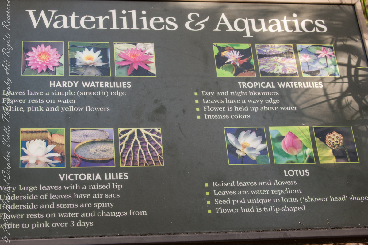
The McKee informative placard divides the Genus Nymphaea into “Hardy” and “Tropical” waterlilies. “Hardy” being plants native to temperate climates, such as New York State. I do not have photos of these from McKee. Nor are there examples of Lotus.
The idiosyncratic categories of McKee Gardens
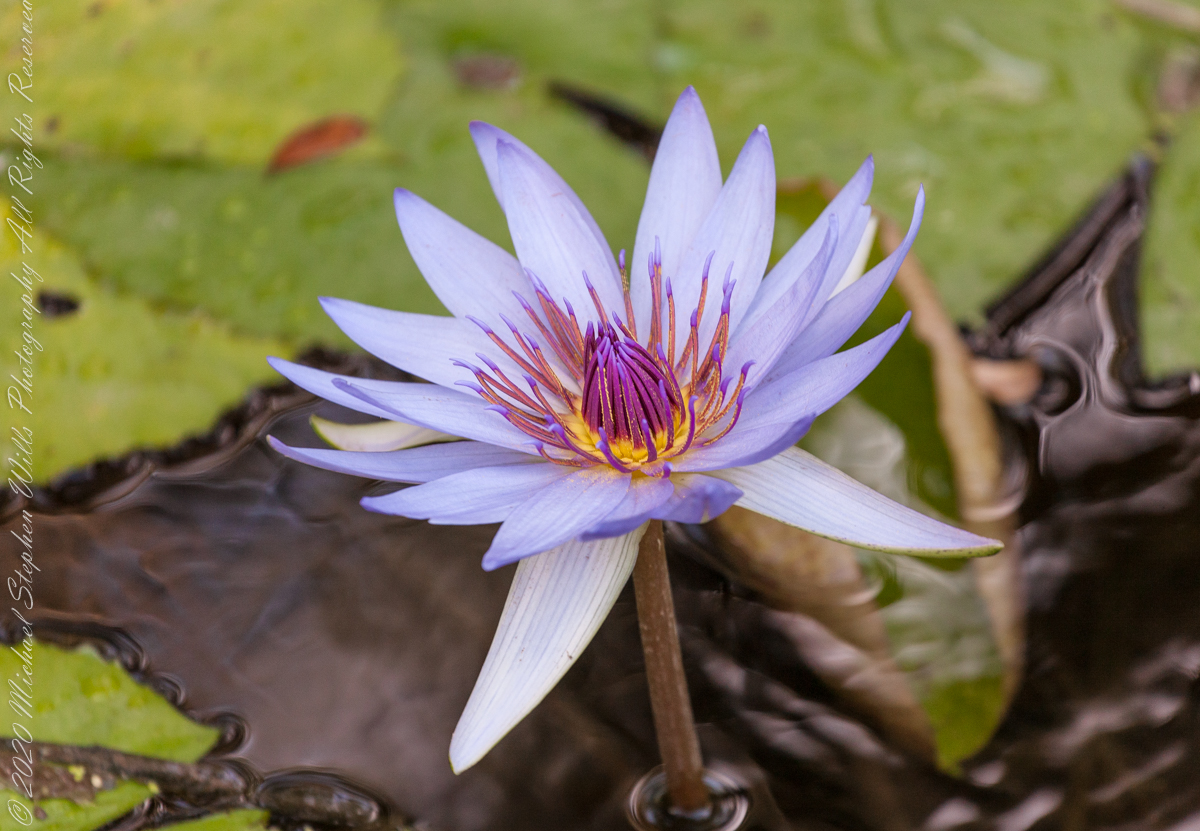
What I have is an abundance of the “tropical” varieties.
“The family Nymphaeaceae, of which the genus Nymphaea is a part, is thought to be the most basic of all the Angiosperms. A minute flower of the Nymphaea type was found in early Cretaceous deposits in Portugal, dating early waterlilies to at least 115-125 million years ago.“
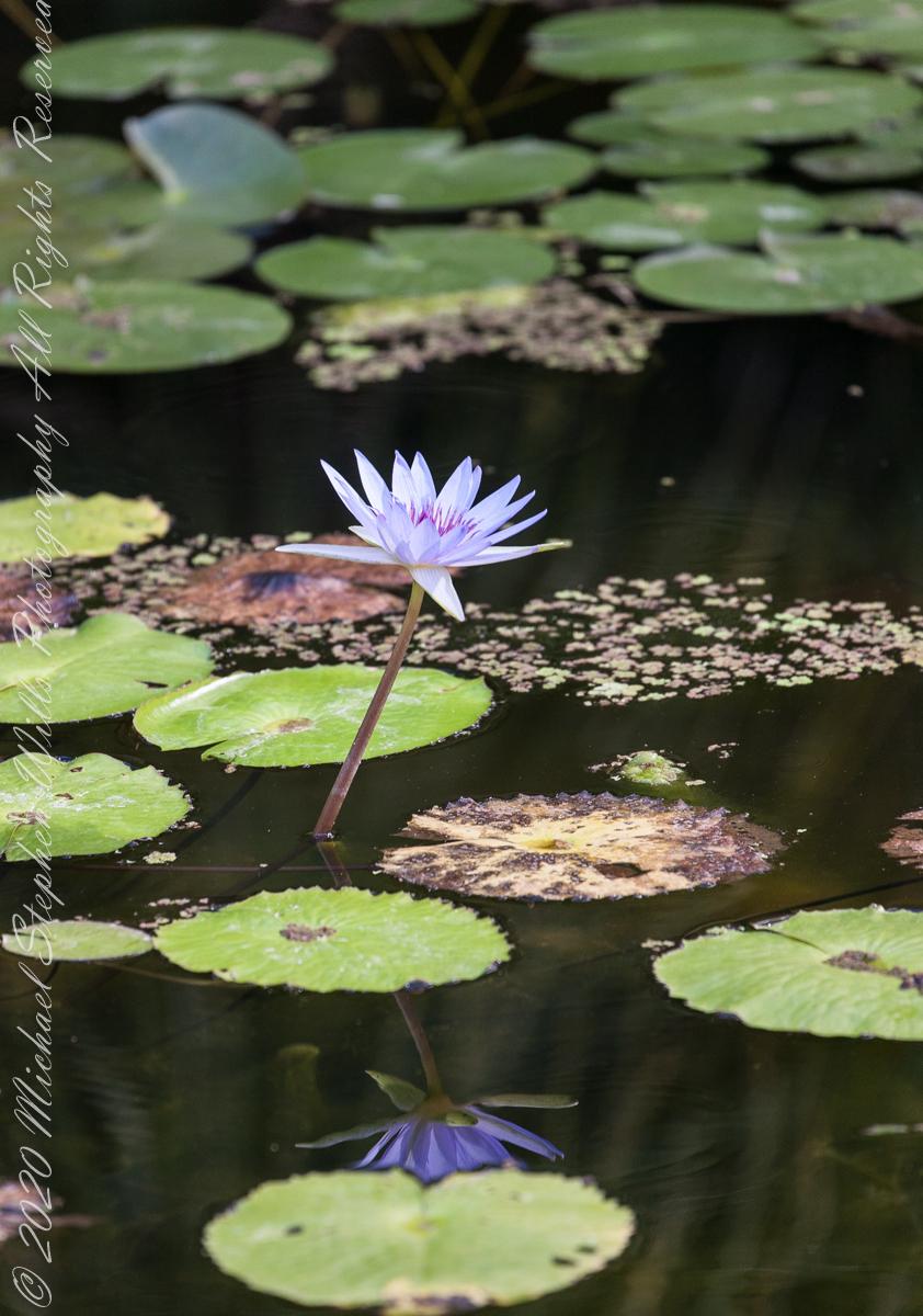
Bright sunlight washed out the flower, not so for the reflected image
Here is a brightly colored “tropical” flower well above the water surface on an erect stem emerging from the water.
“Angiosperm,” the word referring to all flowering plants, is composed to two greek words angio-. meaning enclosed, and -sperm, meaning seed. “DNA studies indicate the Nymphaeaceae separated from the rest of the angiosperm family tree…..before the separation of the monocots and dicots.” – see reference.
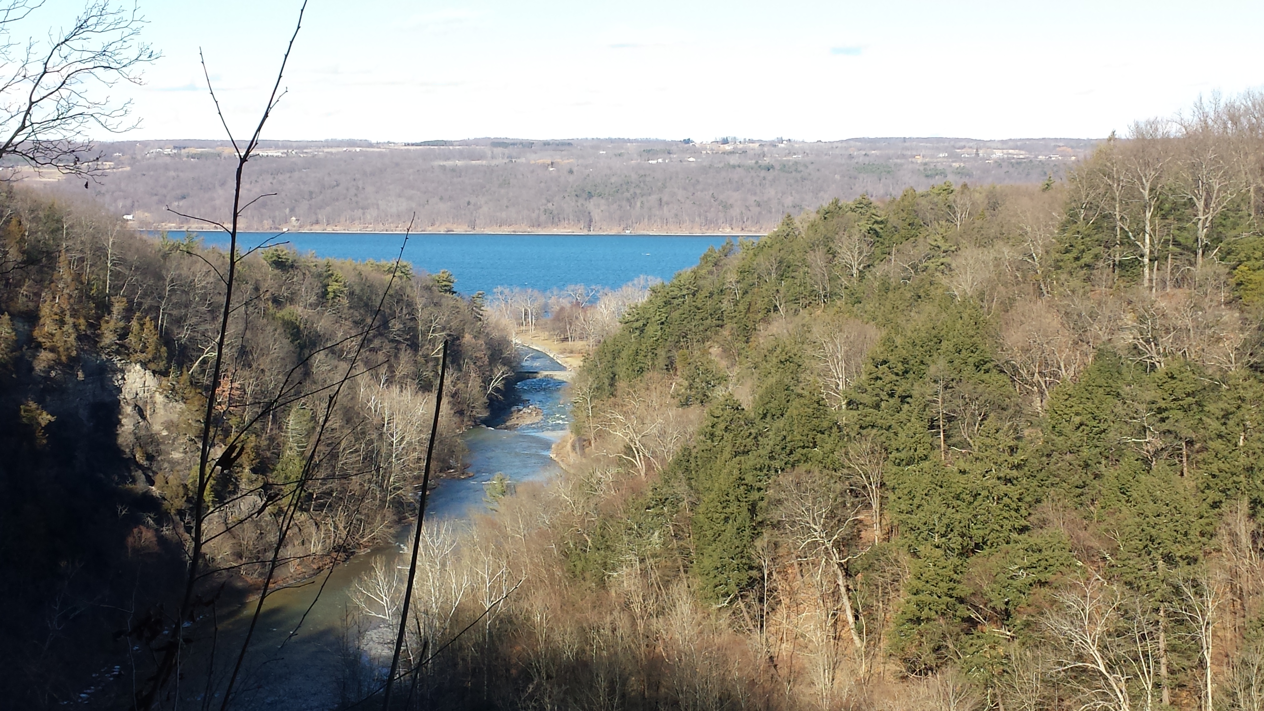
Yesterday afternoon was bright, sunny enough for me to break out of the winter exercise routine for a walk around Taughannock Falls, a New York State Park 7.5 miles from the front door through farmland and small villages with views of Cayuga Lake.
The route around the gorge, following the North and South Rim trails with a side trip to the edge of Cayuga Lake is 3 miles with a modest elevation change of about 500 feet.
My route began at the top with a cell phone, from the Falls Overlook, there is a gradual slope, until the end where flights of steep stone steps end at the gorge floor. The steps were free of ice and snow.
These photographs are from the cell phone. Here is the lake and a portion of the gorge. Yes, the lake is a dark blue on sunny days and is ice free this year. Another trail follows the gorge floor to below the falls, I opted out of the additional 1.5 miles today in the interest of finishing well before sunset.
Click any photograph to visit my Fine Art version of Taughannock Falls.
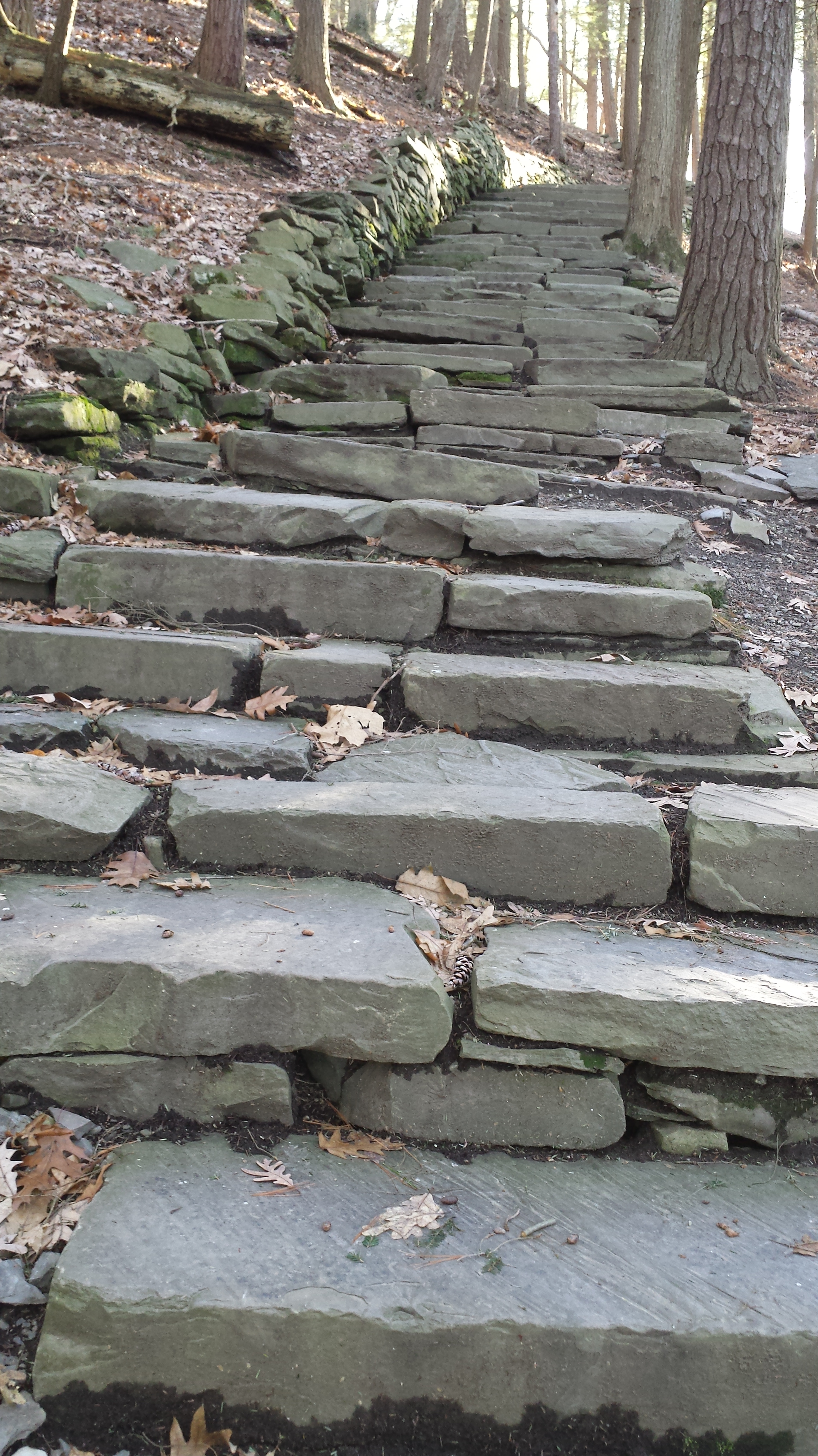
I have a few versions of these South Rim Trail stone steps taken at this perfect time of day, the low sun through the trees. Built in the 1930s by Roosevelt’s Civilian Conservation Corp, the steps and the entire trail are a work of art.
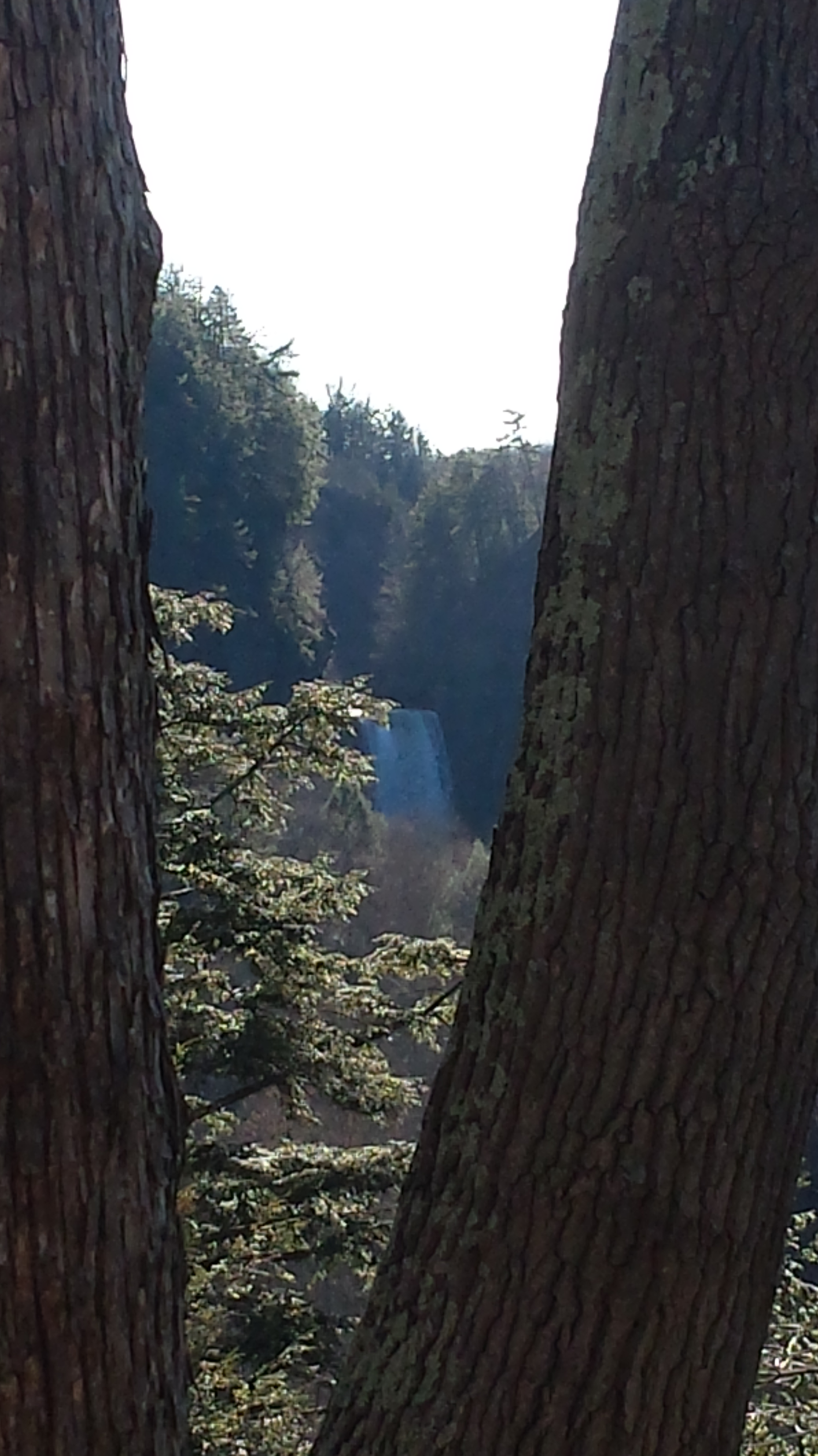
The far view of Taughannock Falls always fascinated me. I’ve never done it justice. There are several view points from the South Rim, overlooking the gorge were it bends to the south with only the upper third of the falls visible. The flow today was photogenic. I used the cell phone zoom to catch the view between the trunks of two trees.
The top of the south rim was the only ice. It is there through April some years. Here is the closest, full view of Taughannock Falls from the North Rim. It is the same view you will find in my Fine Art version of the falls.
And a cell phone video of the falls for the full effect.
Enjoy!!
Copyright 2022 Michael Stephen Wills All Rights Reserved
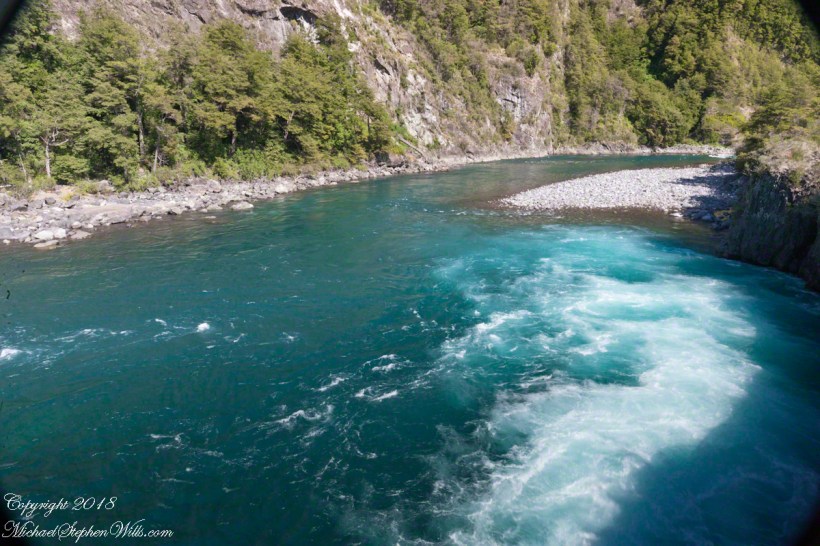
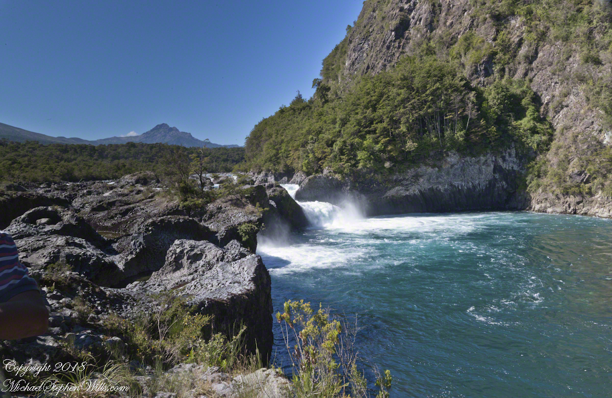
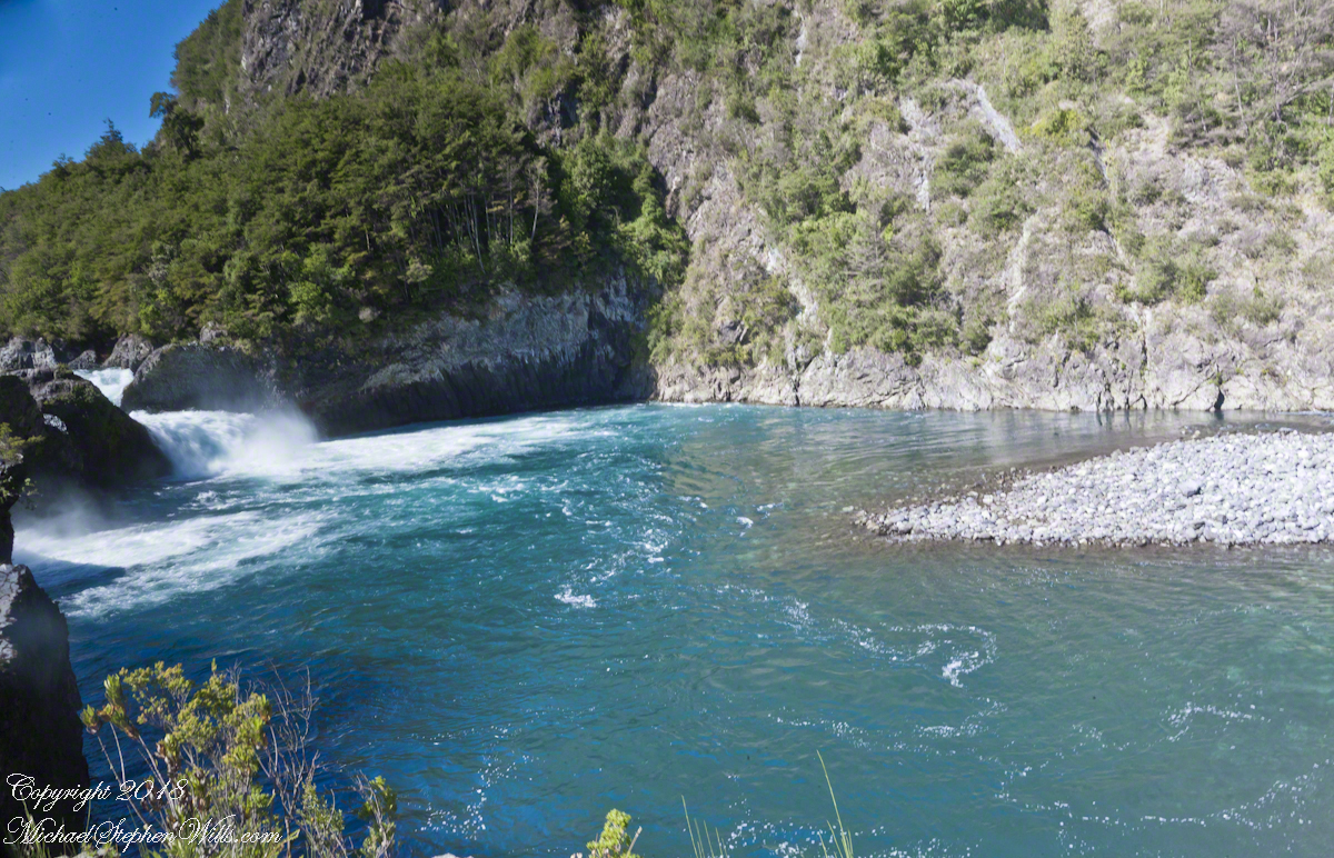
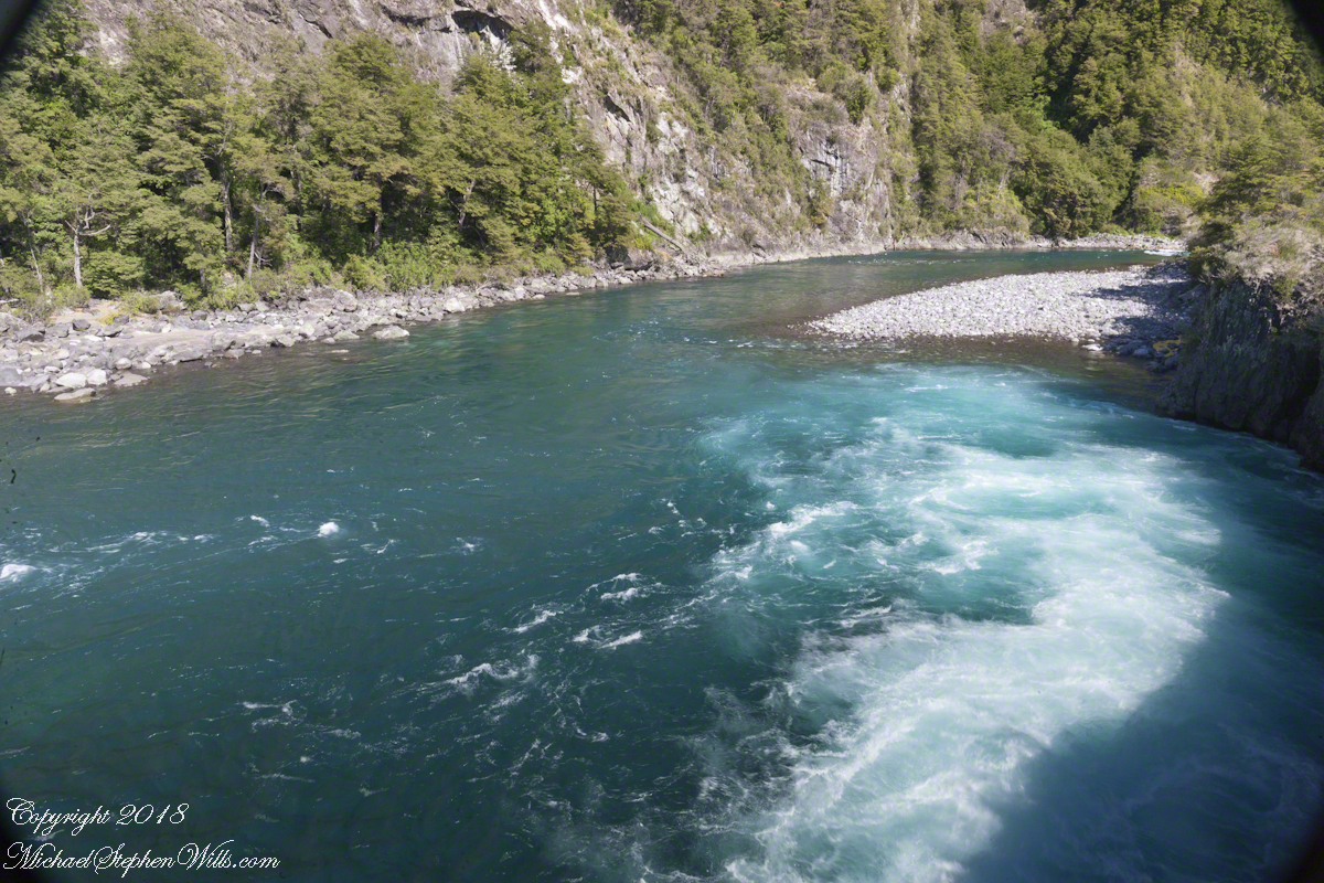
Glacial meltwater from Lake Todos los Santos (All Saints Lake) forms Petrohué River and, where the river flows over lava from the Orsorno Volcano, Petrohué Falls. This set of photographs features the emerald color the river originating from glacial minerals.
Click any photograph for a larger view.
A strangeness of these photographs is this is the middle of February, Chilean summertime.
Force of Nature
Another strangeness, not readily apparent, is the effect of the Coriolis force. Here in the Northern Hemisphere water (any moving mass, really) moving perpendicular to the rotating surface of the earth (a property of water is the surface follows the contour of the solid surface over which it flows) will tend to flow in a clockwise direction. Crossing the equator, in the Southern Hemisphere the tendency reverses, tending to flow to the left, counter-clockwise. With some imagination the effect of the Coriolis force can be seen in the following photograph.
Copyright 2021 All Rights Reserved Michael Stephen Wills
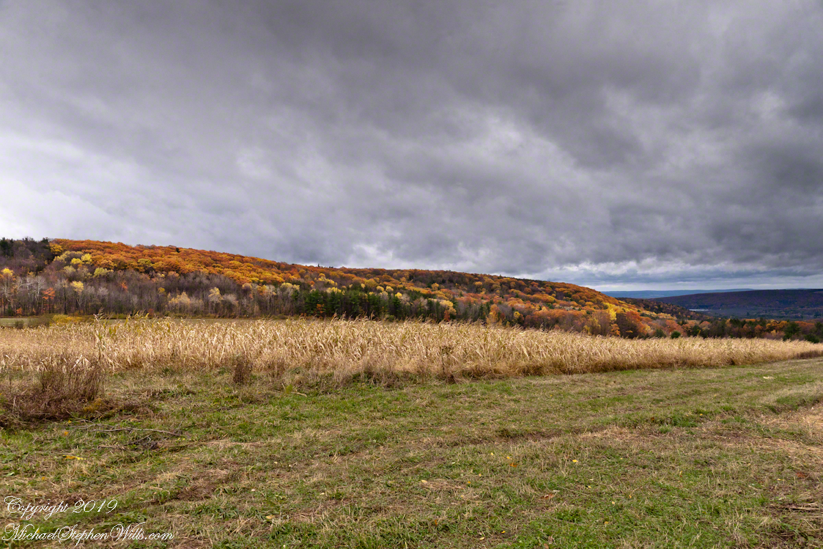
Black Oak Road approaches Connecticut Hill from the north. At this point a long view to west opens up that include Cayuta Lake and the distant highlands of Seneca Lake.
Click photograph for a larger view. To do this from WordPress Reader, you need to first click the title of this post to open a new page.
October 5, 2014 found Pam and I at Keuka Lake after my son completed the Wine Glass Marathon. Here we are at the finish line in Corning, home of the Corning Glass Factory. You may know it from your set of Correlle dinnerware.
Marathoner and his proud father
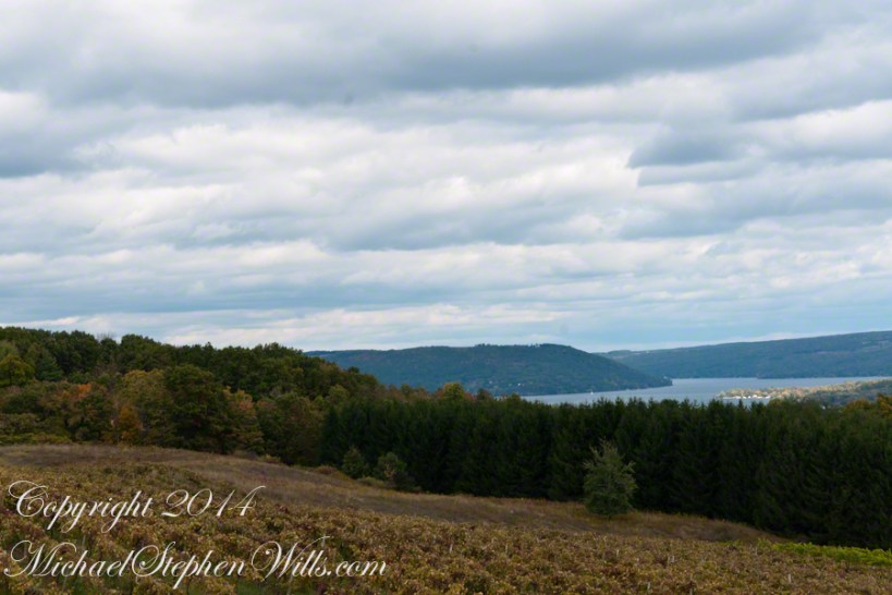
Afterwards, Pam and I made it up to the Dr. Frank Winery for a tasting followed by dinner at a local restaurant. Here is a photograph from the same viewpoint, using the “zoom” setting of my Sony DSLR A700. The view is more interesting than the winter shot of “Keuka Lake Winter I” from the autumn clouds and the burst of late day sun on the eastern lake shore.
This is the juncture of the “Y” shaped lake where the two arms joint the long foot. The pointed high headland is the point where the two arms meet. We are looking north here. The western arm, on the right, is unique in that the water is flowing down into the juncture. In Keuka Lake the water flows in two directions. The flow of lake foot and eastern arm is in the opposite direction, Keuka Lake empties at the top of the eastern arm, eventually reaching Lake Ontario.
North View from Overlook using “Zoom” lens
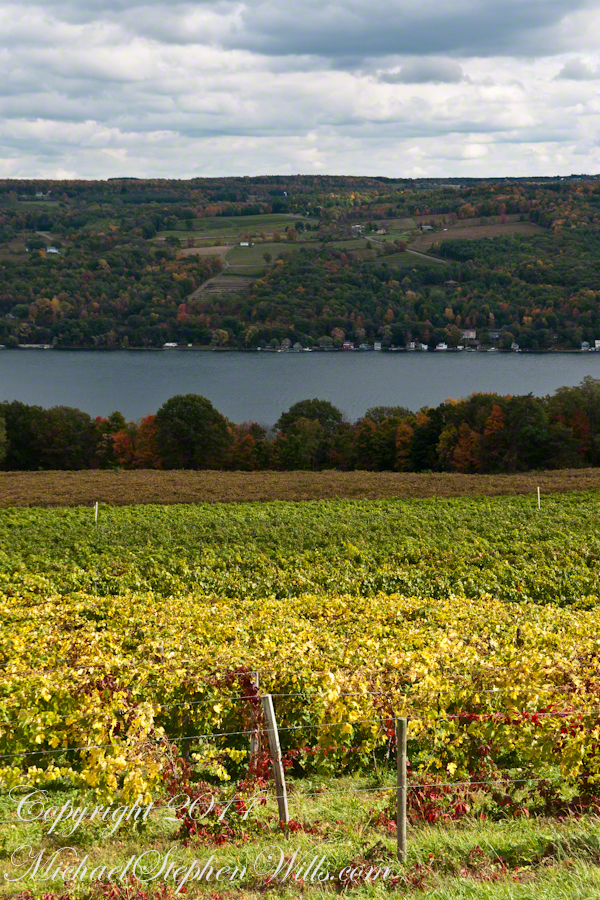
Here is the eastern view, from the overlook, looking over a vineyard ready for harvest, covered with fruit and leaves. Every once in awhile there is a loud “bang” from a noisemaker used to discourage birds from feasting on grapes. The buildings along the shore are summer cottages, Keuka is lined with them.
East View on an autumn afternoon
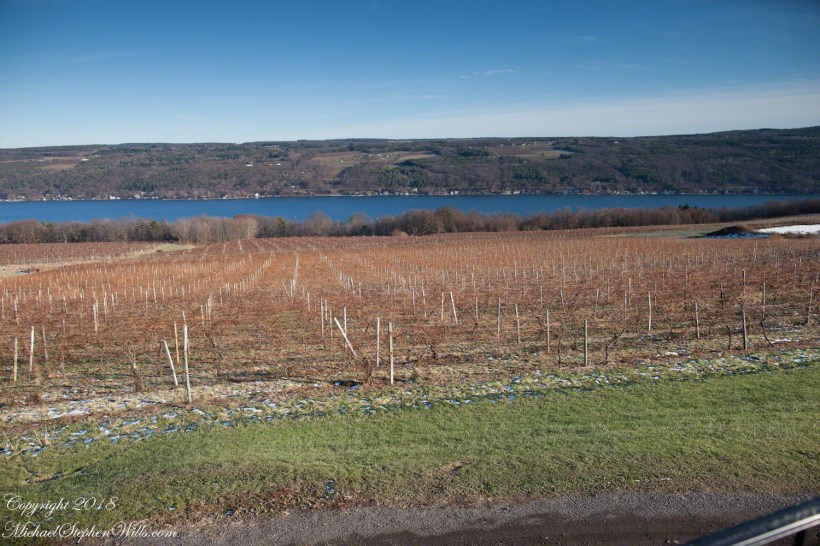
The same view, from our December 2018 visit. The vines are bare, the fallen leaves cleared, the vine roots covered under banked earth to protect them from the cold.
Pam and I, enjoying wine after the 2014 Wine Glass Marathon. Cheers!!